 Bisecting the northern and southern portions of the hike, day five takes you along the hills which separate Shilin and Songshan Districts. Here you’ll pass a supposedly haunted temple, the best spot for overlooking Songshan airport, and remnants of Taipei’s military past.
MODERATE HIKES IN TAIWAN
TAIPEI GRAND HIKE – FENG GUI ZUI TO DAGOUXI RIVERSIDE PARK (北區稜線大縱走 – 風櫃嘴/大溝溪生態治水園)
 The fourth installment of the Taipei Grand Hike takes you to some beautiful and quiet corners of Yangmingshan National Park, as well as some of the more popular scenic spots in Neihu. The best thing about this portion is that it has an abundance of water, from the natural and charming stream running alongside Shuangxigou Old Trail, to the manmade Sweet Water Lake, and the easily accessible Yuanjue waterfall.
TAIPEI GRAND HIKE – FENG GUI ZUI TO XIAOYOUKENG (北區稜線大縱走 – 風櫃嘴/頂山/石梯嶺山/小油坑)
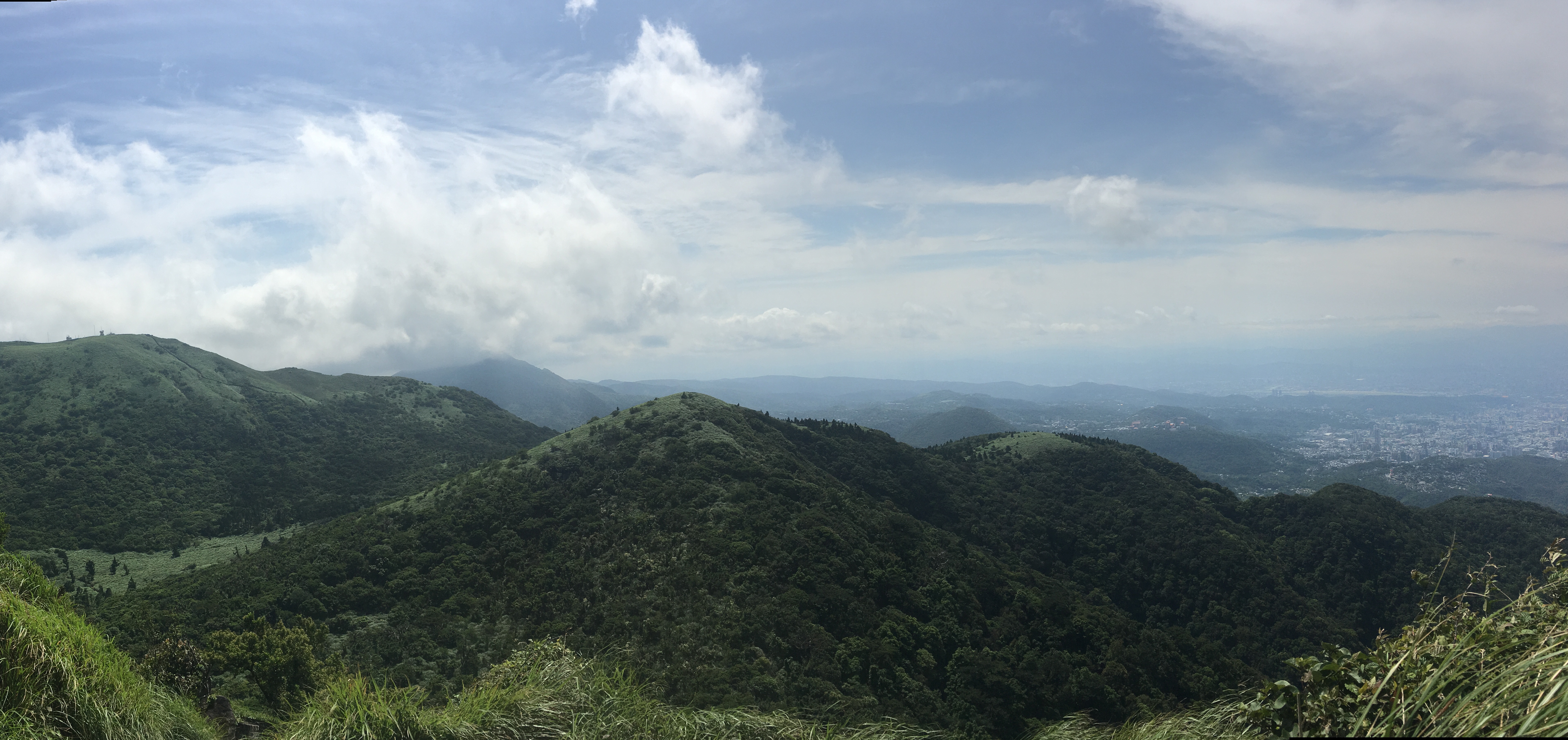
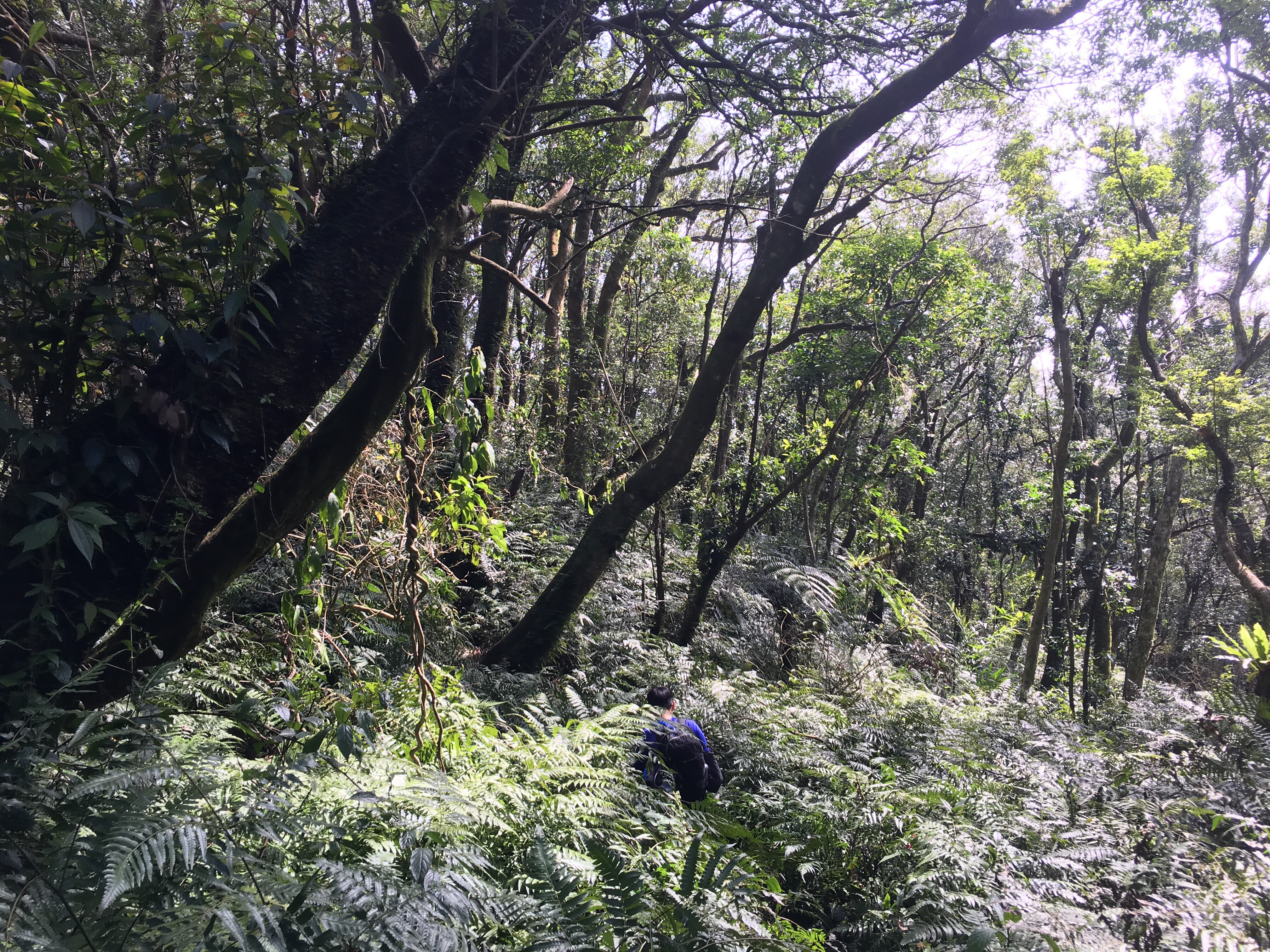
 The third installment of the TGH has you climbing to the highest peak inside Taipei City. Go on a clear day and your effort will be handsomely rewarded with 360-degree views of the surrounding area. As well as big views, this route also takes in some really pleasant forest and ridge scenery on the Mount Ding - Mount Shiti Trail.
TAIPEI GRAND HIKE – ERZIPING TO XIAOYOUKENG VIA DATUN SHAN (北區稜線大縱走 – 二子坪/大屯山/小油坑)
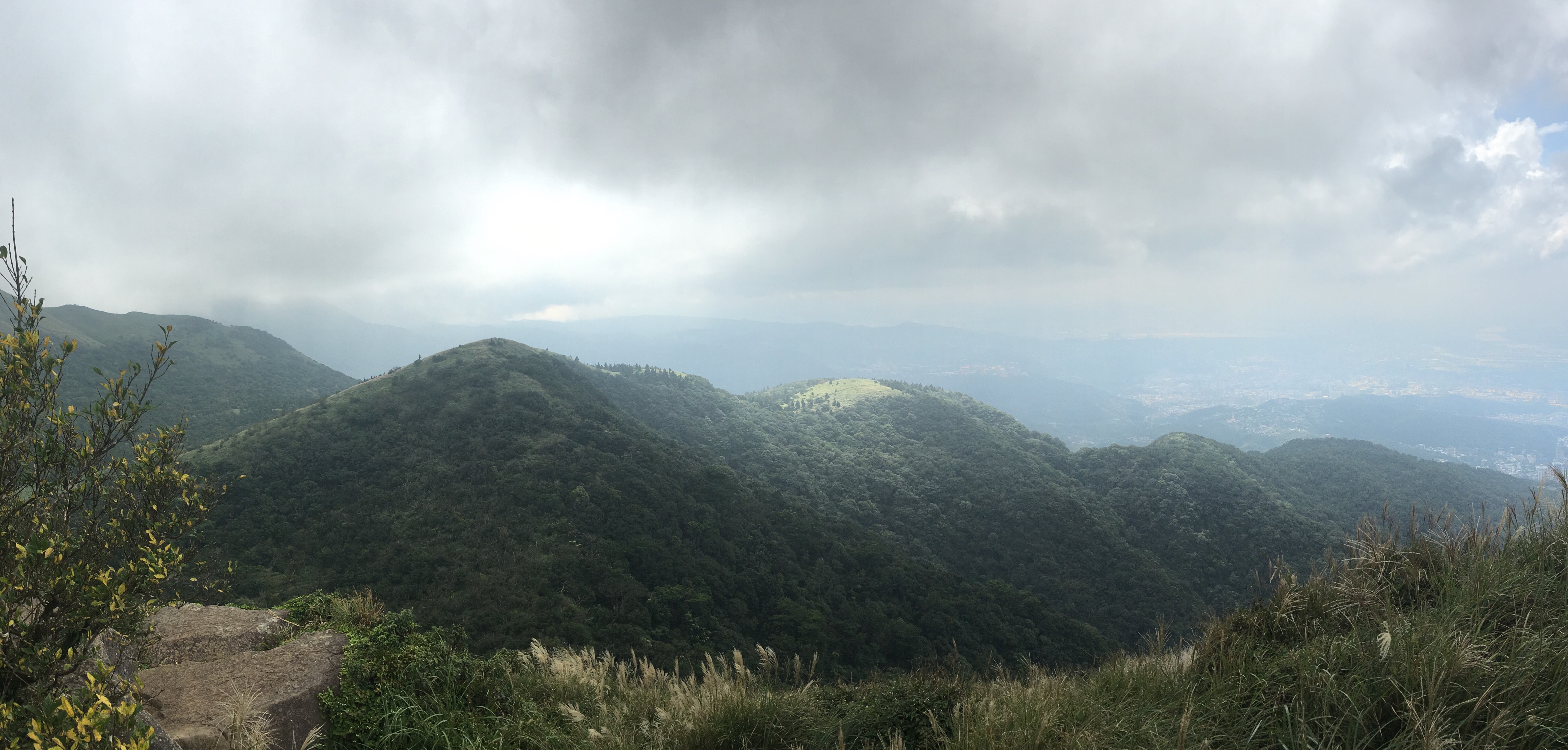
 The second leg of the Taipei Grand Hike climbs some of the wilder peaks in the west of Yangmingshan National Park. This section starts from Erziping and takes in three peaks on the Datun Multi-Peak Trail before dipping down into the picturesque scenery of Dinghu. Then finishes by climbing along a stream to the steaming crater of Xioayoukeng.
TAIPEI GRAND TRAIL – SECTION 1 (臺北大縱走-第一段)
 The first part of the the Taipei Grand Hike has you putting in some serious legwork to make it all the way from the flat land of Guandu right up into Yangmingshan National Park. This section takes in art, grand tombs, an irrigation canal, and many, many steps.
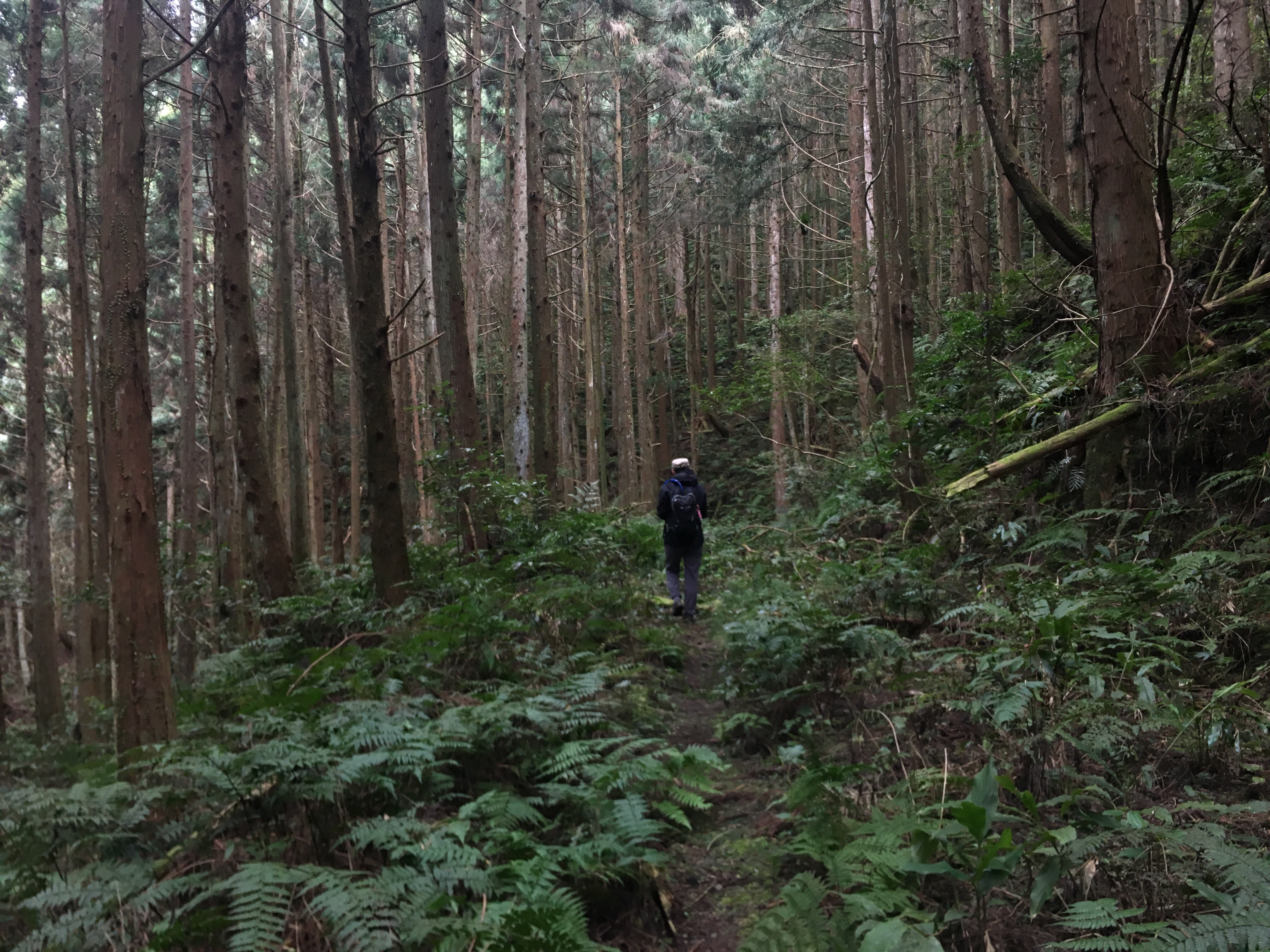
BEIDELAMAN GIANT TREES (北得拉曼巨木步道)
 Although most of Taiwan’s giant trees are found in remote forests with permit-restricted access, there are some just a short drive out of Taipei which can be seen by anyone willing to make the climb. (And who wouldn’t be willing to put in a bit of effort to visit these venerable old spirits.)
YUAN SHAN HIKING TRAIL (鳶山登山步道)
 The first hike that comes to mind when thinking of Sanxia District is the ever-popular Wuliaojian trail. But if you’re not feeling up to such a tough climb, you could always set your sights on this not-so-extreme ridge walk.
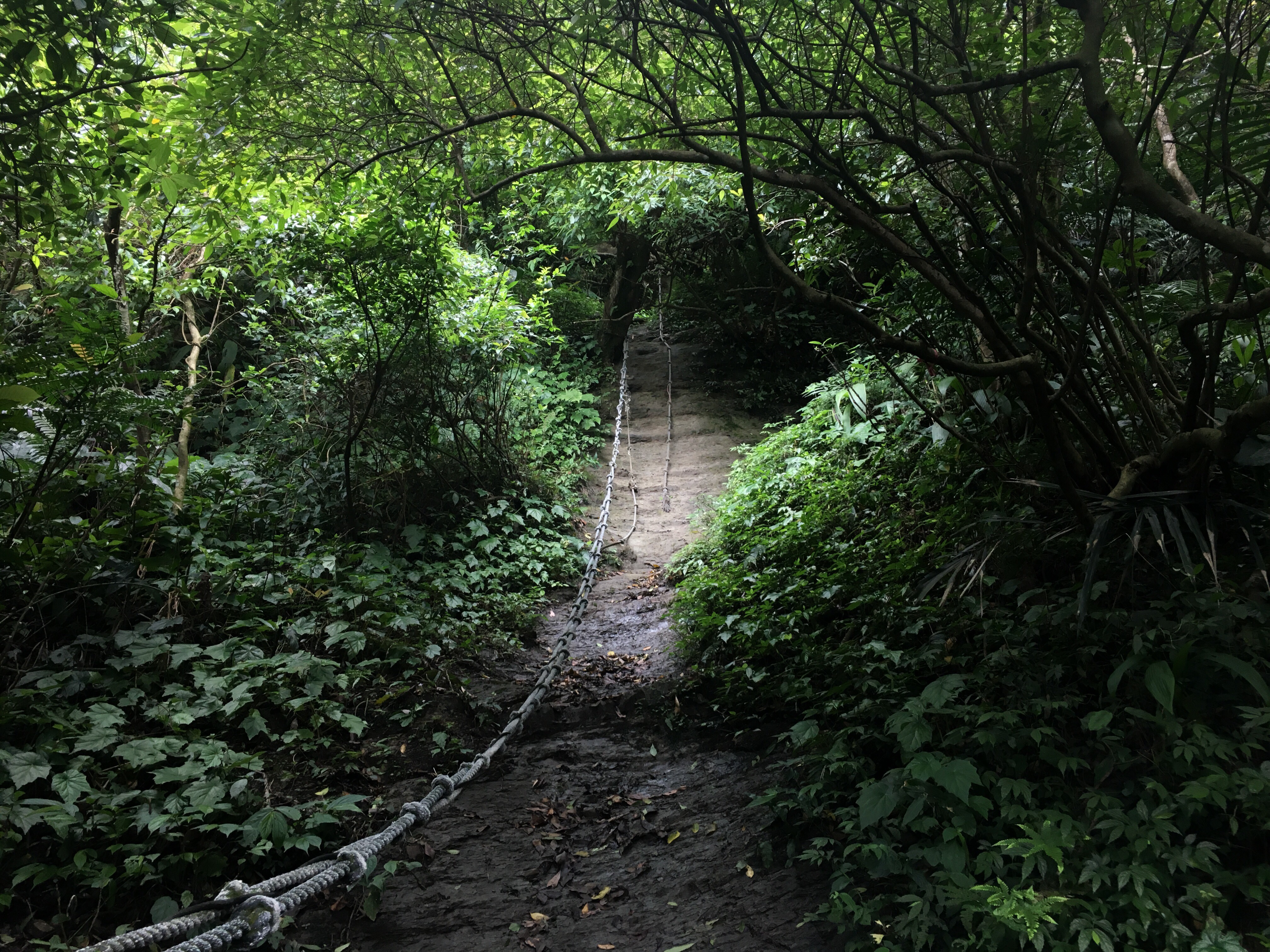
DATUN STREAM TRAIL LOOP (三板橋/竿尾崙山/小觀音山西北峰/大屯溪古道)
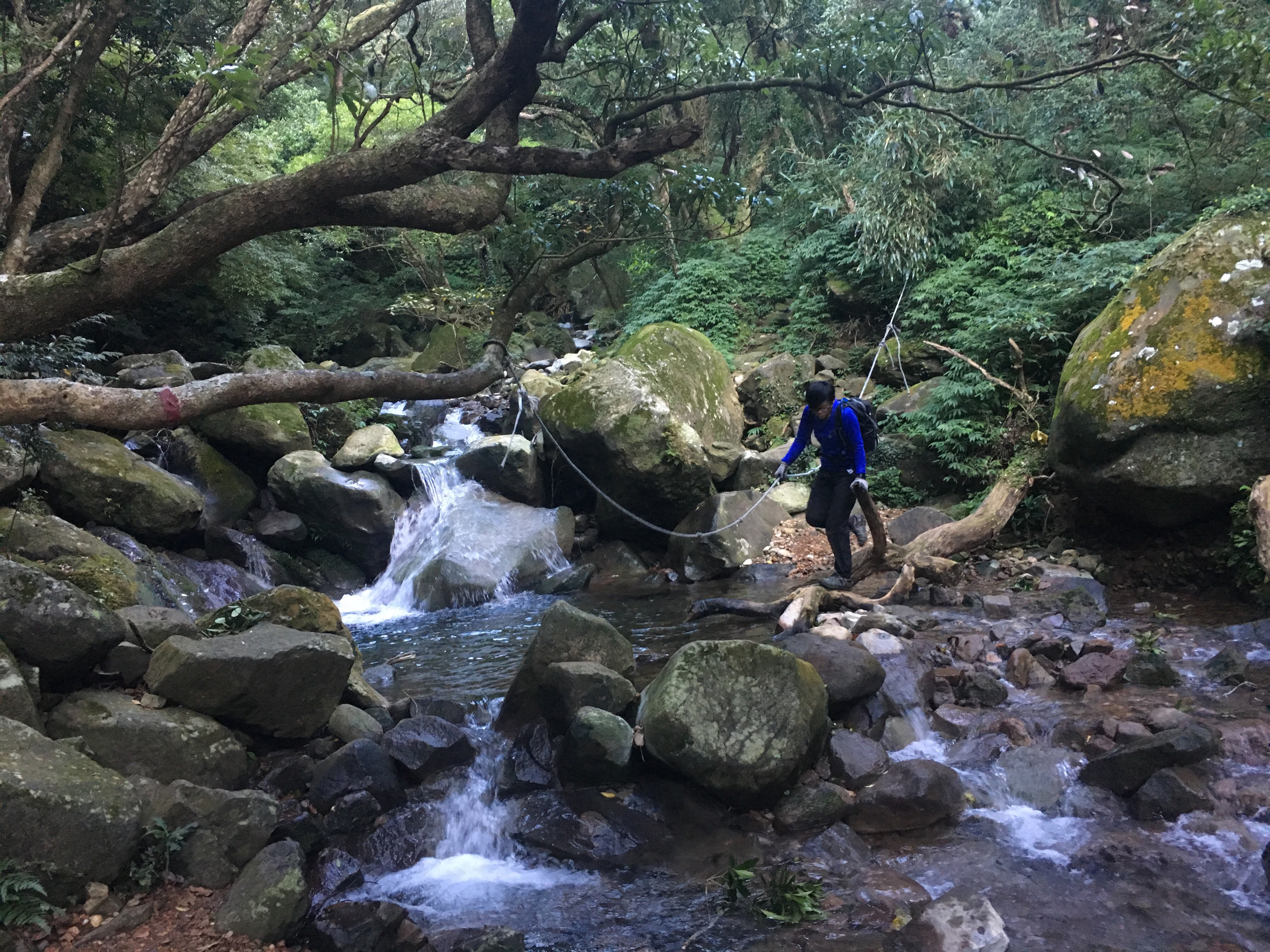 This loop trail takes you to a wilder edge of Yangmingshan Park that many visitors never see. The first section is a tough climb through quiet, dense forest. The mid section takes you scrambling from peak to peak through a maze of bamboo. And during the final section all your hard work is rewarded as you experience the sheer pleasure of following a delightful stream carving its way down through a luscious valley.
MOUNT DATUN MULTI PEAK TRAIL (大屯主峰連峰步道)
 Right on the western edge of Yangmingshan National Park you can find a quieter alternative to some of the park's busier walks. The Mount Datun trail takes in three peaks. Short but strenuous roped sections lead you over the west and south peaks followed by some serious steps up to the main peak, and then a gentle coasting down to finish at Erziping.
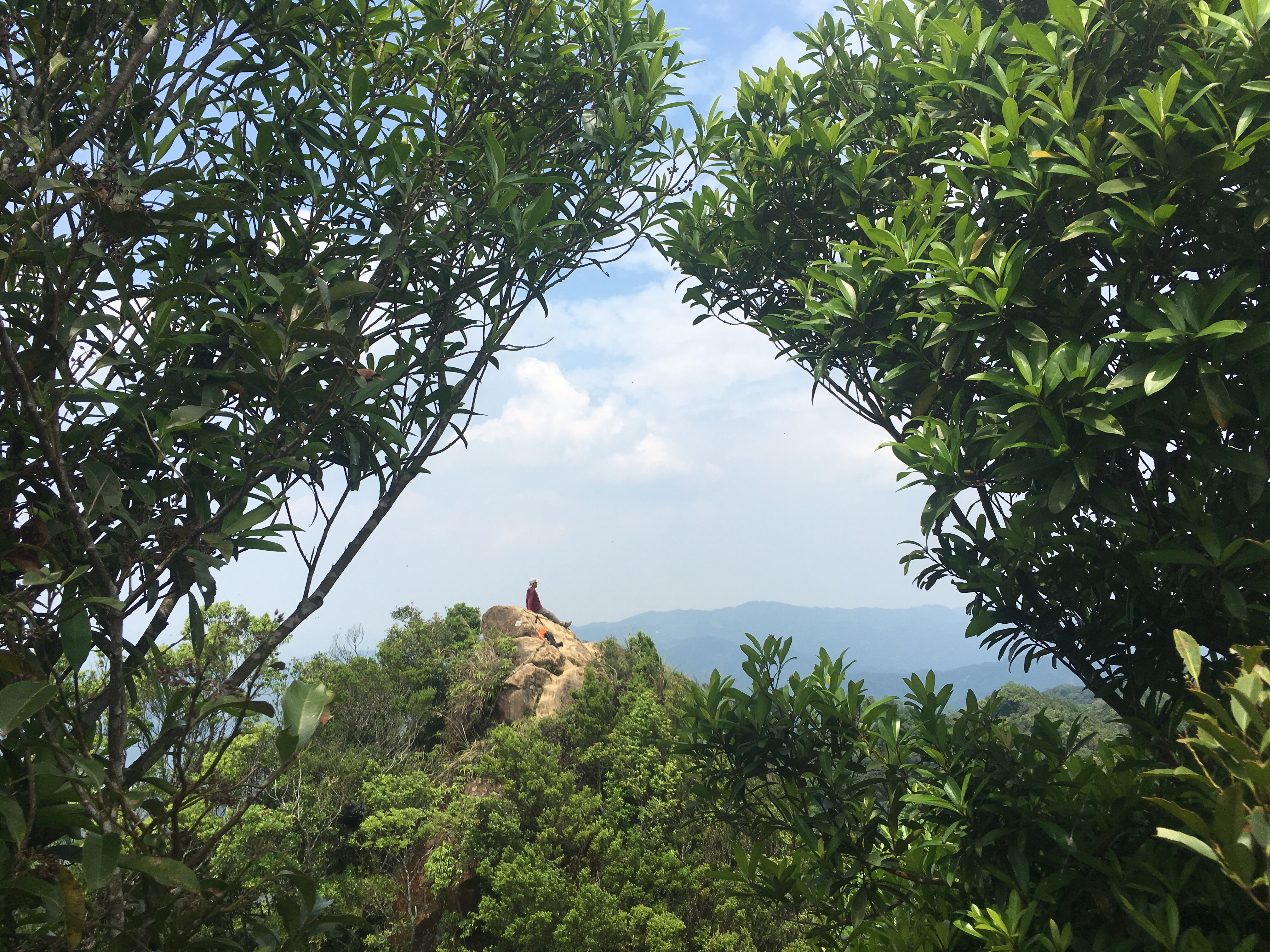
DRAGON BOAT ROCK AND MOUNT KAIYAN TRAIL (開眼山/白石湖山/大邱田山/龍船岩O型路線)
 A slightly scrappy scramble across several of Neihu’s peaks. This walk has the added bonus of passing some cute little land god shrines and a scenic spot popular with social media fans.
MAI BA LAI SHAN (麥巴來山)
 When we signed in at the trailhead, the person manning the register said "the mountain is yours today, there's no one else." He wasn't wrong. Mai Ba Lai is never going to lure the crowds in search of Instagrammable views, but it offers another kind of draw: quietness and seemingly endless forest.
MIANTIAN SHAN AND XIANG TIAN CRATER POOL (面天山/向天池)
 Miantian shan trail offers an easy to follow path over some of Yangmingshan National Park's western peaks. Go immediately after heavy rain in order to catch sight of the elusive xiang tian crater lake.
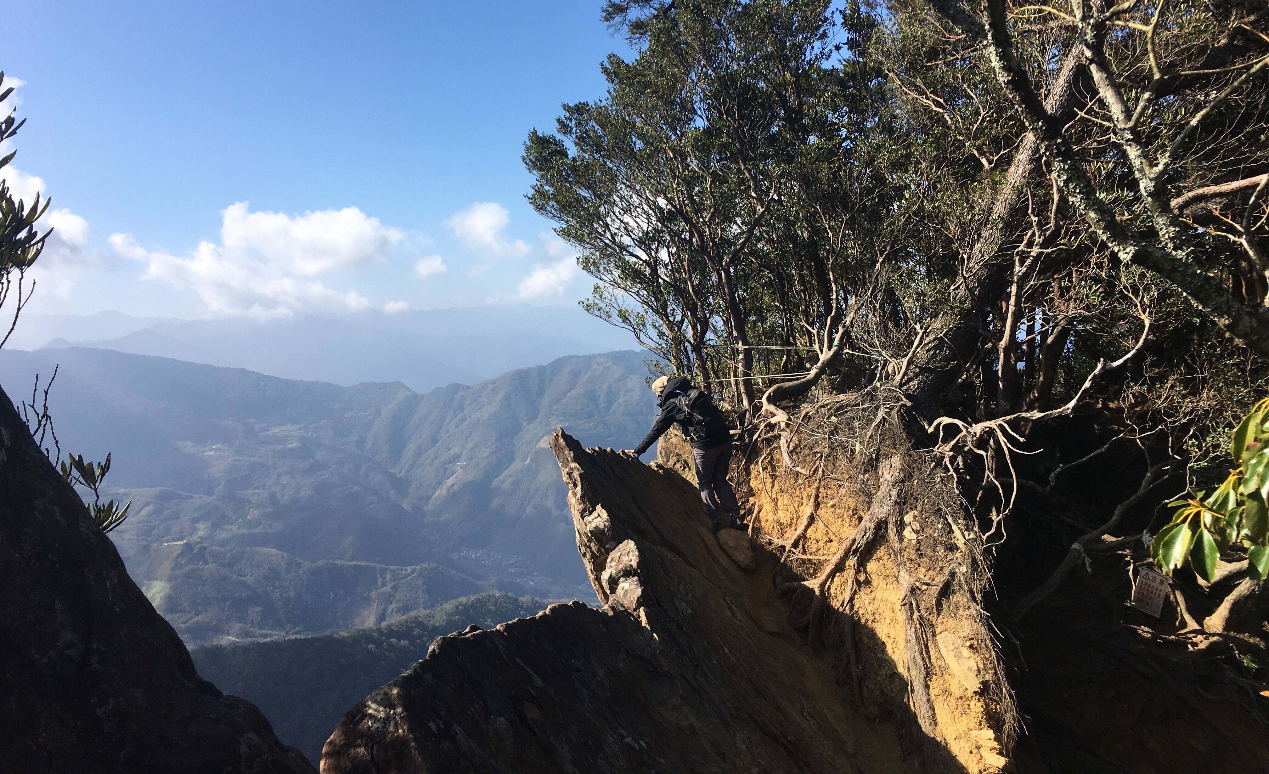
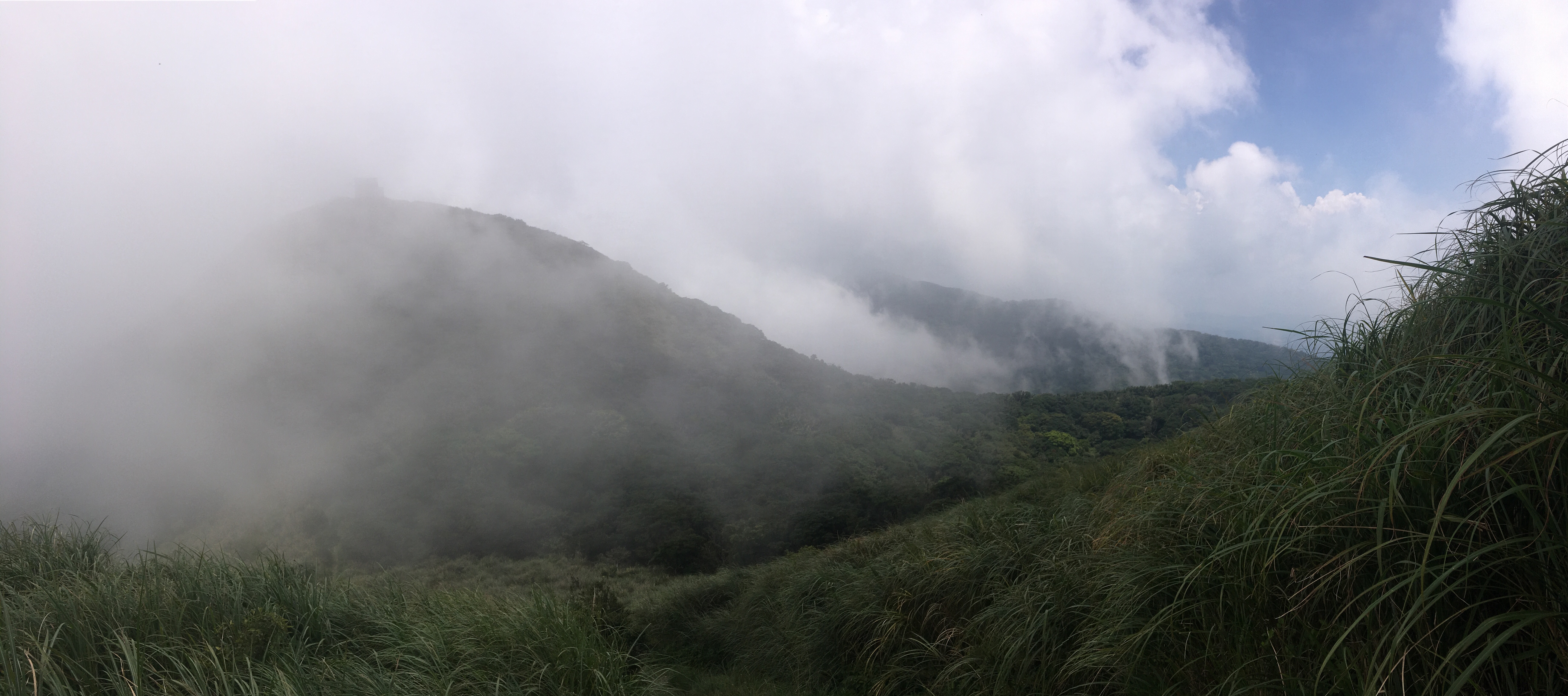
BIJIA RIDGE TO ERGE SHAN (筆架連峰)
 If you've ever travelled to Yilan on Freeway Number 5, you might have glanced right just before you entered the first of the long tunnels and seen a tree-coated ridge running towards the west. If you're like me, that glimpse of intriguingly knobbly peaks and dips might have lead you to wonder what walking possibilities were hidden by the lush green foliage. The answer is the Bijia ridge trail - a strenuous, (but not difficult), and enjoyable trek which offers occasional great views and plenty of fun hiking.
95 PEAK AND NANGANG SHAN THE SCARY WAY (南港山步道2號峭壁)
 NOTE: DUE TO A NUMBER OF ACCIDENTS IN THE AREA THE ROPE TRAILS ARE NOW CLOSED.
Think the Nangang mountain range has nothing challenging to offer? Think elephant mountain is the height of excitement? Think again. Hidden between the ridge path of the Nangang trail and the network of small paths around the lower reaches, there are a series of more difficult climbs to tackle. This route incorporates the hardest of them all.
NOTE: DUE TO A NUMBER OF ACCIDENTS IN THE AREA THE ROPE TRAILS ARE NOW CLOSED.
Think the Nangang mountain range has nothing challenging to offer? Think elephant mountain is the height of excitement? Think again. Hidden between the ridge path of the Nangang trail and the network of small paths around the lower reaches, there are a series of more difficult climbs to tackle. This route incorporates the hardest of them all.
WULAI SHAN TO DATONG SHAN (烏來山 / 大桶山)
 This challenging, but exceedingly fun route leads you from one of northern Taiwan's most scenic hot spring villages up some steep scrambles with great views over the valley. Remember to bring a towel and you can treat your tired feet to a soak in Wulai's mineral-rich waters at the end of the hike.
