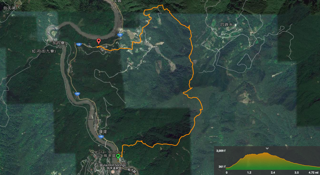
Distance: 7.9km
Time: A little over 7 hours with a 40 minute stop for cooking and a couple of shorter rests
Difficulty (new Taiwan hiker): 4.5/10 – Quick elevation gain and a reasonable distance.
Difficulty (new Taiwan hiker): 7.5/10 – It’s challenging, don’t get me wrong, but either I’ve toughened up a bit or it’s not as difficult as some others we’ve attempted. It’s steep, there are numerous tricky roped sections where you really wouldn’t want to make a mistake, and the upwards path surface is mostly loose shale. For these reasons, it wouldn’t be smart to do the loop in reverse, (roped sections and loose surfaces being twice a as bad heading down). Having said that, this trail doesn’t require as much upper body strength as some trails we’ve done, there aren’t so many alarmingly exposed sections (although there are one or two spots where the path traverses a narrow ridge with only trees to half hide the dizzying height that you’re at), and as long as you have a basic idea of where you’re going (preferably with a map), it’s very easy to keep on the correct path. For experienced Taiwan hikers this would be pretty fun, for inexperienced hikers or those new to Taiwan’s trails it would be extremely hard.
Total ascent: 943m – From a minimum elavation of 120m to a maximum of 899m.
Water: I took 2.5 and drank a little over 2 in moderate temperatures (18-20°C).
Shade: Pretty well-shaded most of the way – I would still take cover for my head and neck in summer months though.
Mobile network: Patchy, but as far as I am aware, no long black holes.
Enjoyment: This level of challenge, the beautiful views, the variety of terrain and the fact that the loop is easily completed by hopping on a bus all make this a great hike. Starting and endinf at a place with a wild hotspring and old street market for refreshments are just the icing on the cake.
Other: Aside from water, you’ll want to take snacks to keep you going. Also important are long trousers – the trail passes through some areas of dense, damp foliage which seems to sit in such a way as to never receive much sunlight. Before walking through it, I though “this looks like perfect leech territory” and sure enough, I made friends with one as I passed through. You will also want to take gloves – this is a very hands on trail, we thought about taking hiking poles too, but in the end decided that what we knew of the trail seemed to indicate that gloves would be more useful and luckily we guessed correctly. For the ascent up to Wulai Shan, I think my hands and feet were in contact with the ground for equal amounts of time.
Jump to the bottom of this post for a trail map, GPX file, and transportation information.
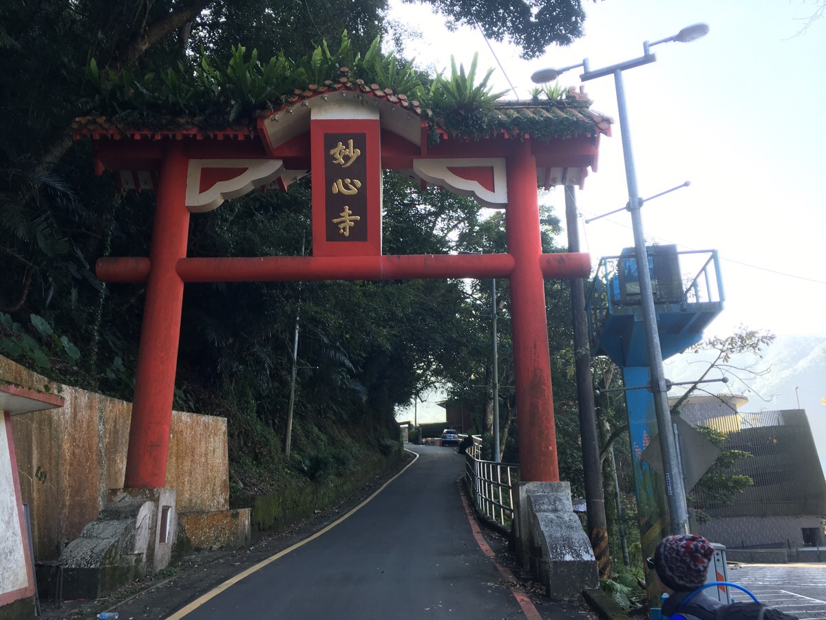
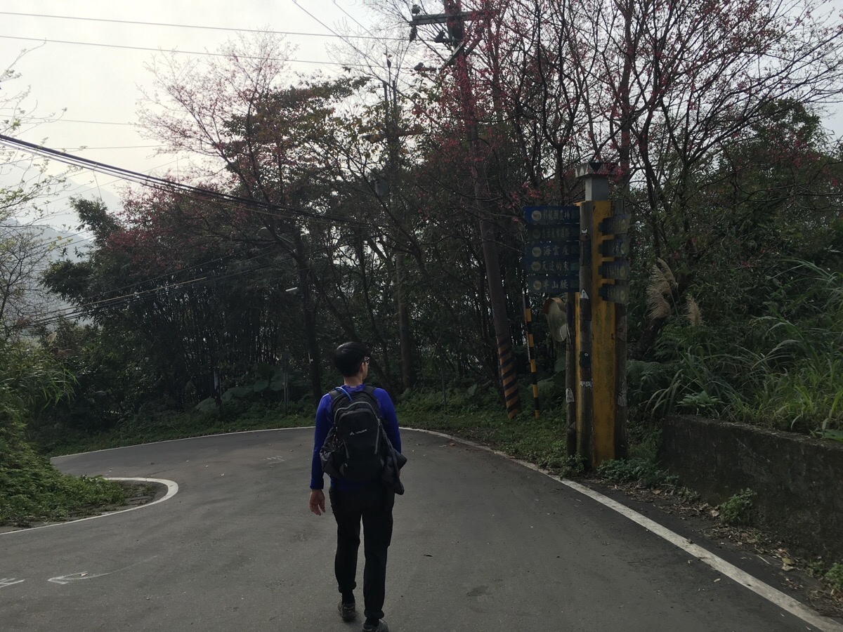
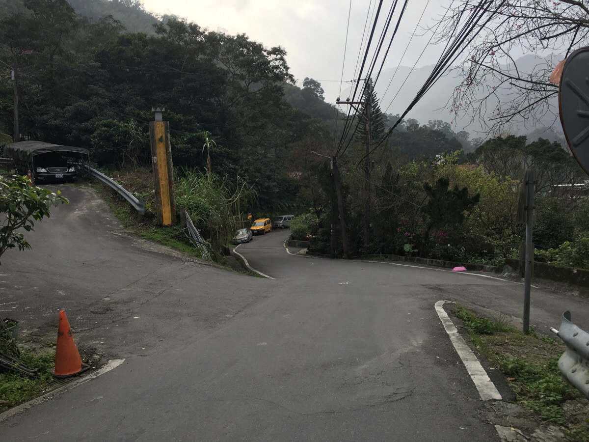
08:30 – Leaving Wulai town behind, the start of the trail is through the modest paifang of 妙心寺, (a Buddhist temple, the name of which translates rather less modestly to ‘Wonderful Temple’).
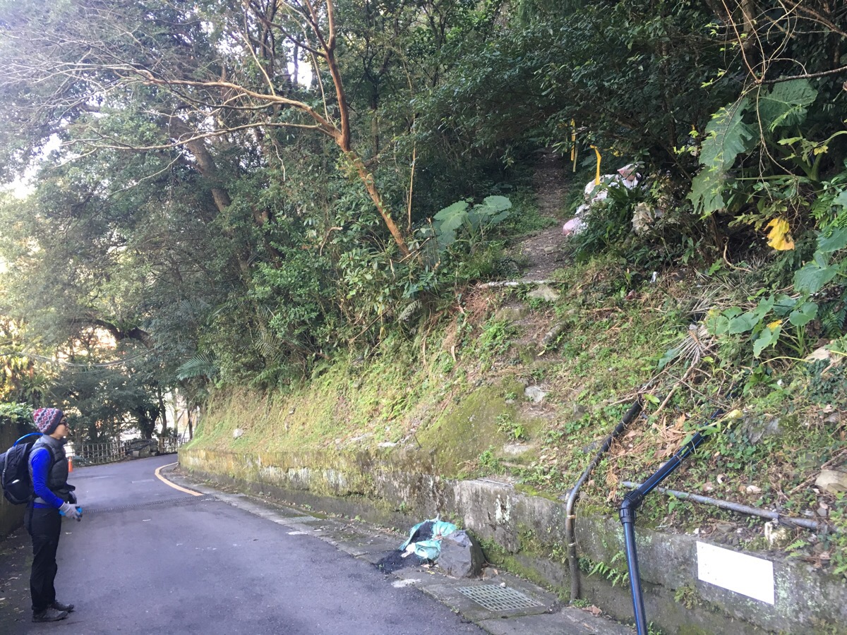
The start of the trail proper is marked by a few tags and a couple of not-really-steps.
Honestly, it was a not very inspiring start. The incline was shallow enough to look like it should be easy, but steep enough (and covered in loose shale), so that my calf muscles were immediately shocked into waking up.
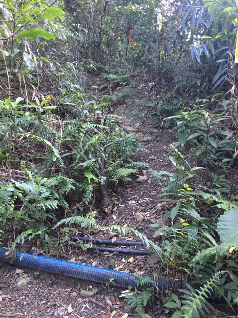
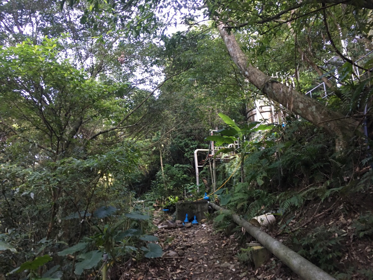
08:40 – Just beyond the water plant in the previous photo, the path splits – the correct one heads steeply uphill behind the water plant (which just as we passed, let out an unexpected, explosive burst of water that sounded like a hellish mounatin monster and scared the bejeezus out of us).
Very quickly the path starts to show its true colours. Not only does the loose shale stick around to make the path treacherous underfoot, but it is also almost vertical in parts.
09:22 – After fifty minutes of climbing we arrived at a small flat area which previous travellers seem to have set up as a rest area. Here we took in our first views of where we were headed, from this vantage point Wulai Shan seems both tantalisingly close and a considerable way up. We also saw a black squirrel dashing away from us.
Leaving the clearing behind, the relentless up persists. Through a gap in the trees, we could glimpse the hills to the other side of Nanshi River.
09:45 – The path flattens out somewhat right after it mounts a ridge. We could see the sun powering through the branches as we approached the crest and a fierce light dappled everything one we were walking the spine.
The flat section didn’t last for long though and we were soon climbing again (inelegantly).
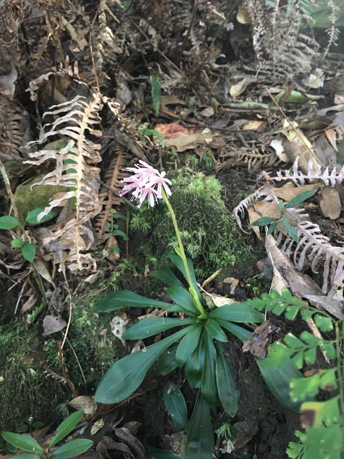
As we climbed, I spotted a fair few of these rather charming flowers clinging to cracks in the rocks. Further research suggests that they are 台灣胡麻花, or Taiwanese Flax, (Latin name, heloniopsis umbellata), an evergreen woodland plant which is endemic to Taiwan.
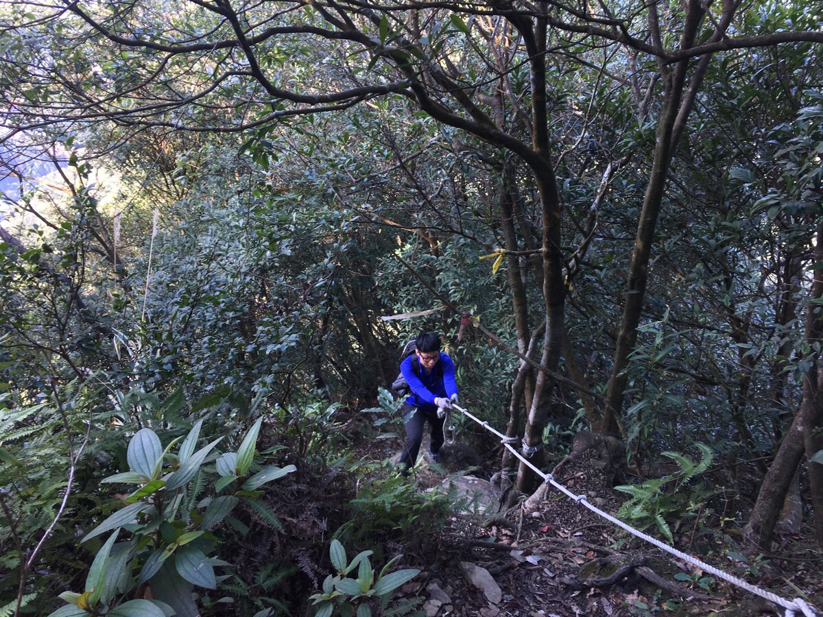
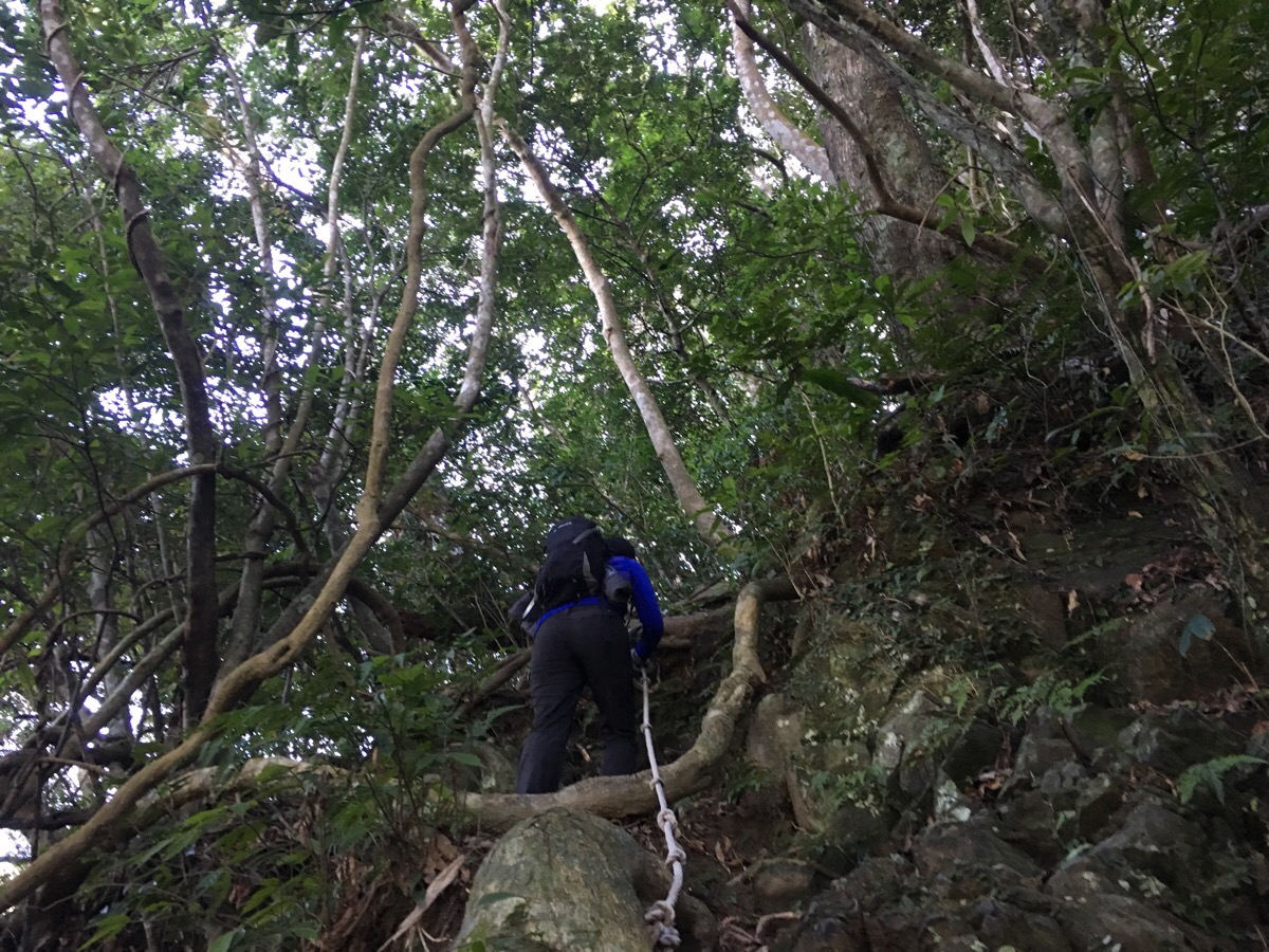
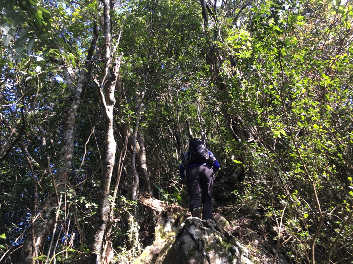
The climb doesn’t let up for quite some time.
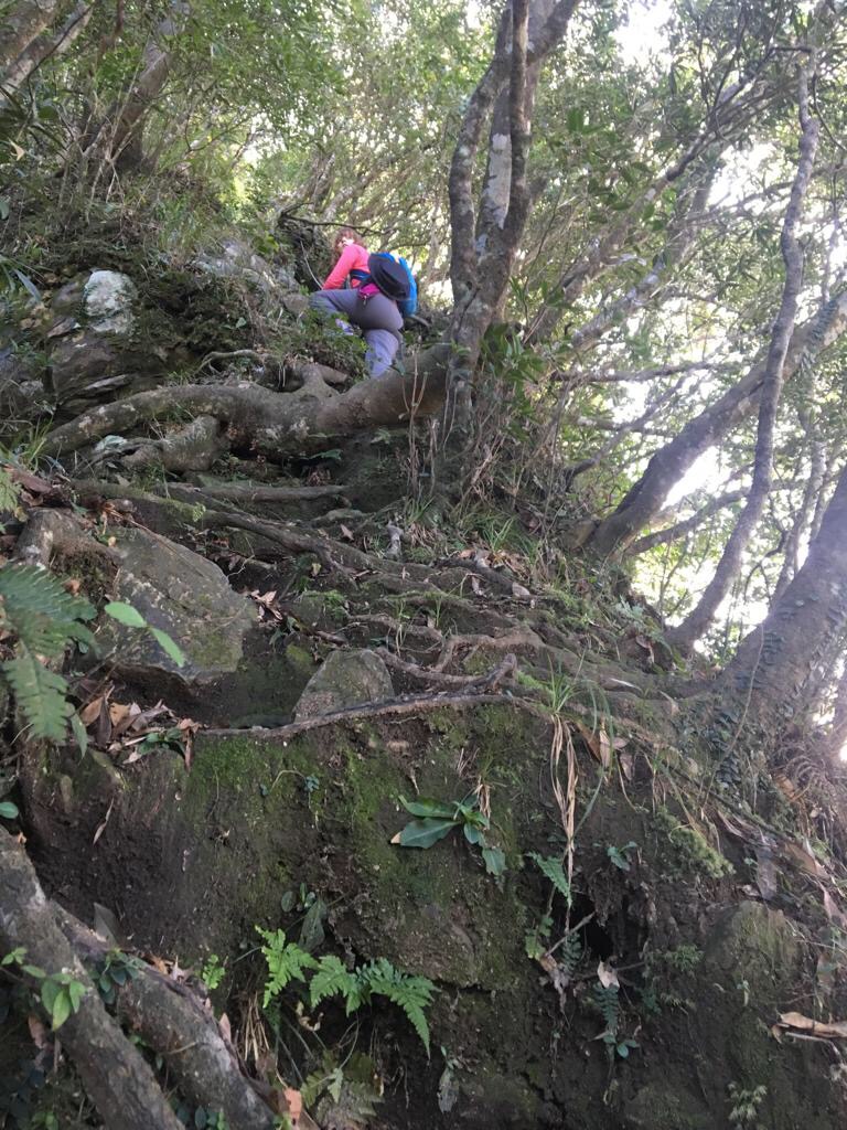
In places it is so steep that it would be almost more accurate to call it rock climbing (or tree root climbing). Luckily I love this kind of climb, so I was having a lot of fun.
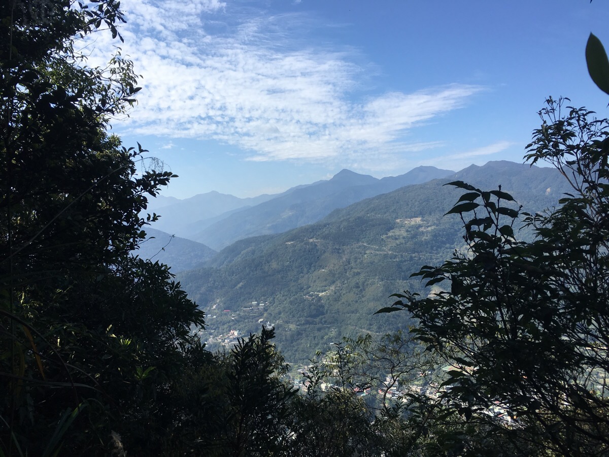
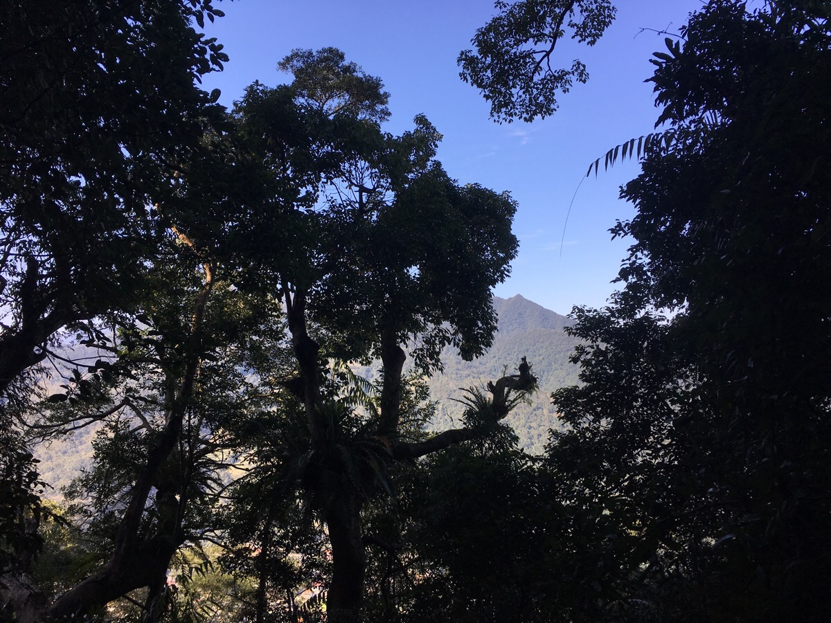
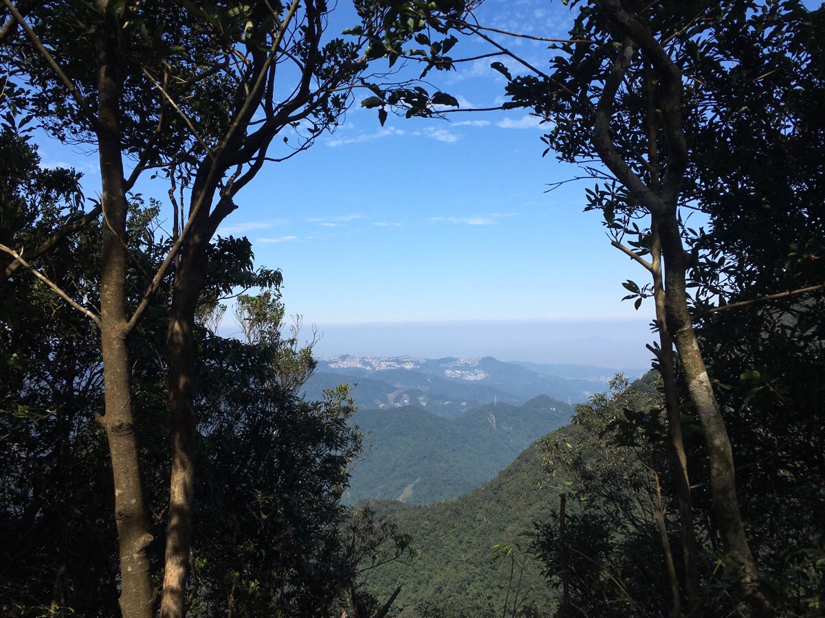
10:11 – Periodically the leaf coverage would disappear, giving us amazing views like this. Here, you can see back down towards the river valley and Wulai. The nearest peak is Meilu Shan, if you keep heading west in that direction you will eventually get to Lala Shan, the old Hapen trail (which I would love to do if I can organise it), starts somewhere in this valley.
10:29 – Wulai shan appears to have two peaks. We passed the first without really stopping about two hours after starting.
There was about another 10 minutes of climbing up to the second peak.
10:41 – Then we reached the slightly higher (second) Wulai shan. At first glance, it looked like we were gazing out over a watery horizon, but after reassessing where we were, I realised that looking in this direction, (north), should give us views of Taipei City. What appears to be water is actually a low blanket of cloud. Later on I would catch glimpses of high points poking through the cloud cover, but for a while it was a convincing optical illusion. We spent about 15 minutes here before moving on.
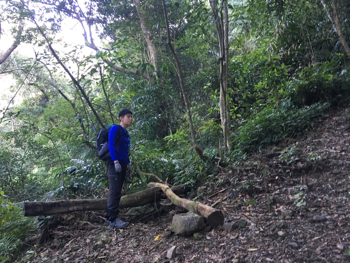
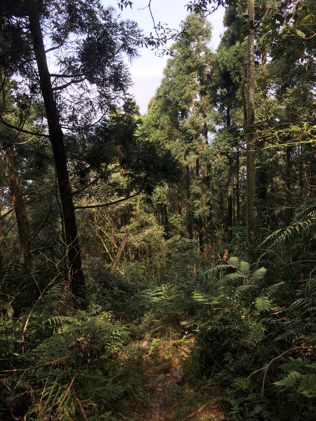
11:22 – The path between Wulai shan and Datong shan was a lot less challenging than the initial climb, there were a few short ups and dows, but nothing difficult.
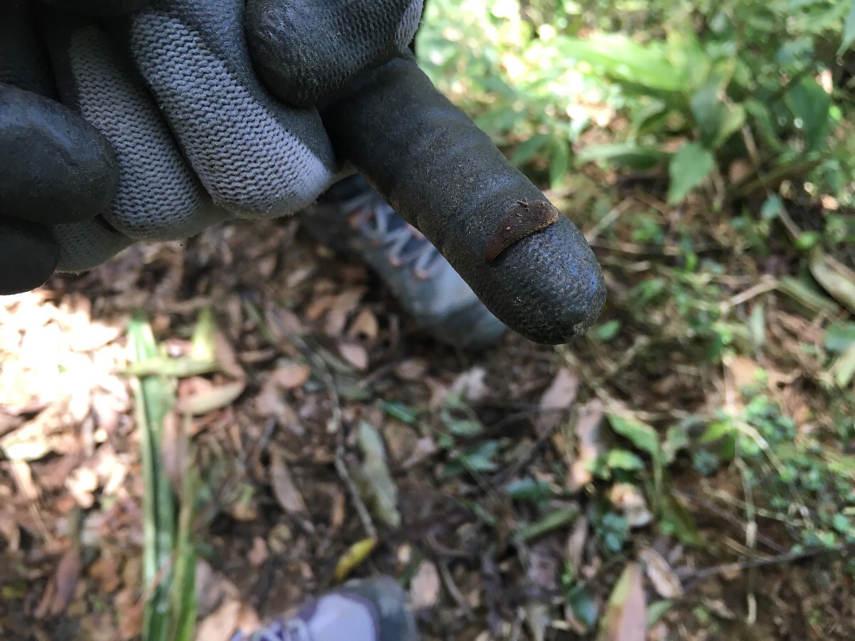
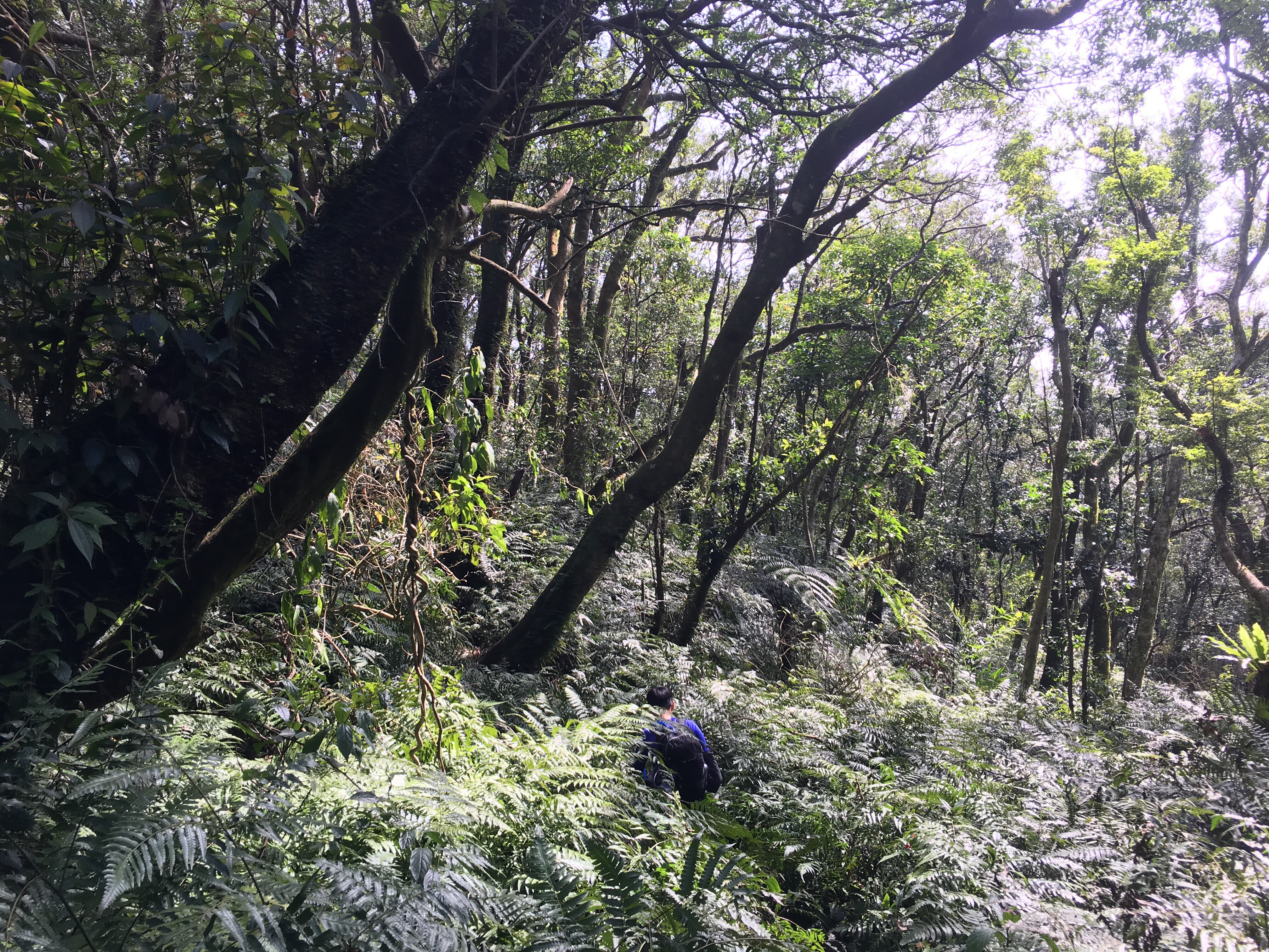
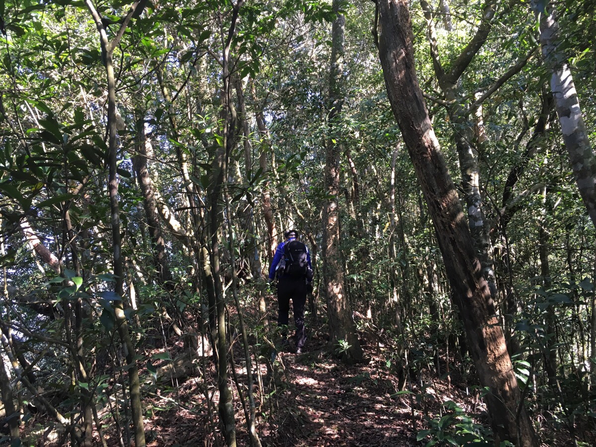
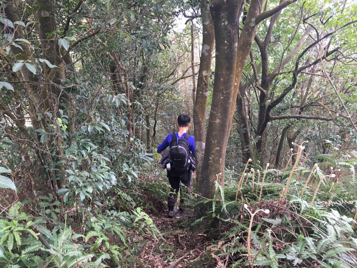
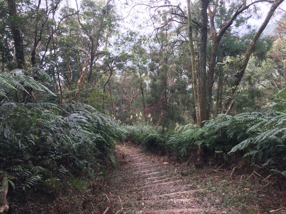
The path along this route however was a lot more overgrown – there was a huge amount of very enthusiastic, young fern growth which was damp from dew and came up to our waists, (and sometimes higher, see the first photo on this post). This type of foliage is prime territory for leeches, and it wasn’t long before I spotted one hitching a ride on my trousers. (This is why you want to wear long sleeves and trousers!) They’re kind of cool in a disturbing way – once we put it back down on the ground, it was clear that it knew which direction its food was in because it stretched and waved in the direction of whichever of us was closest.
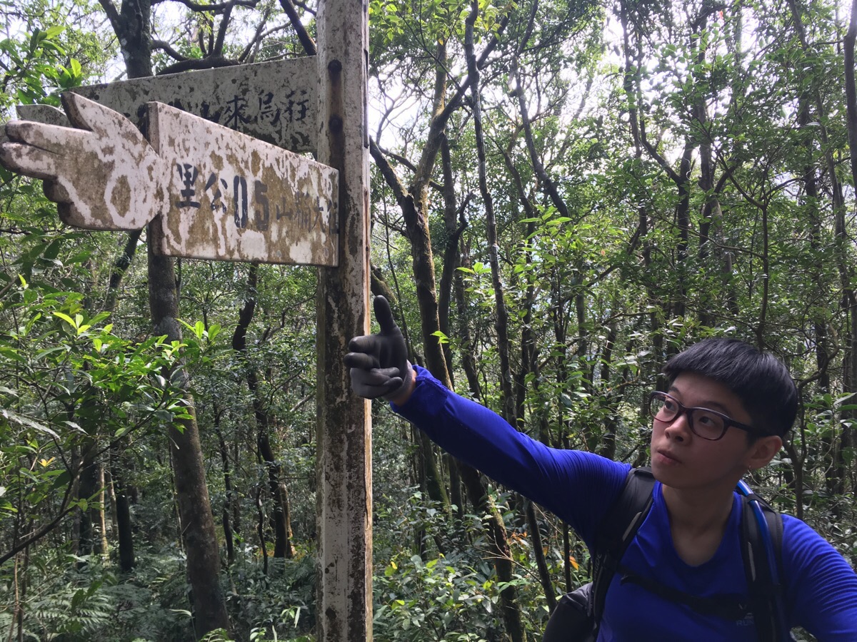
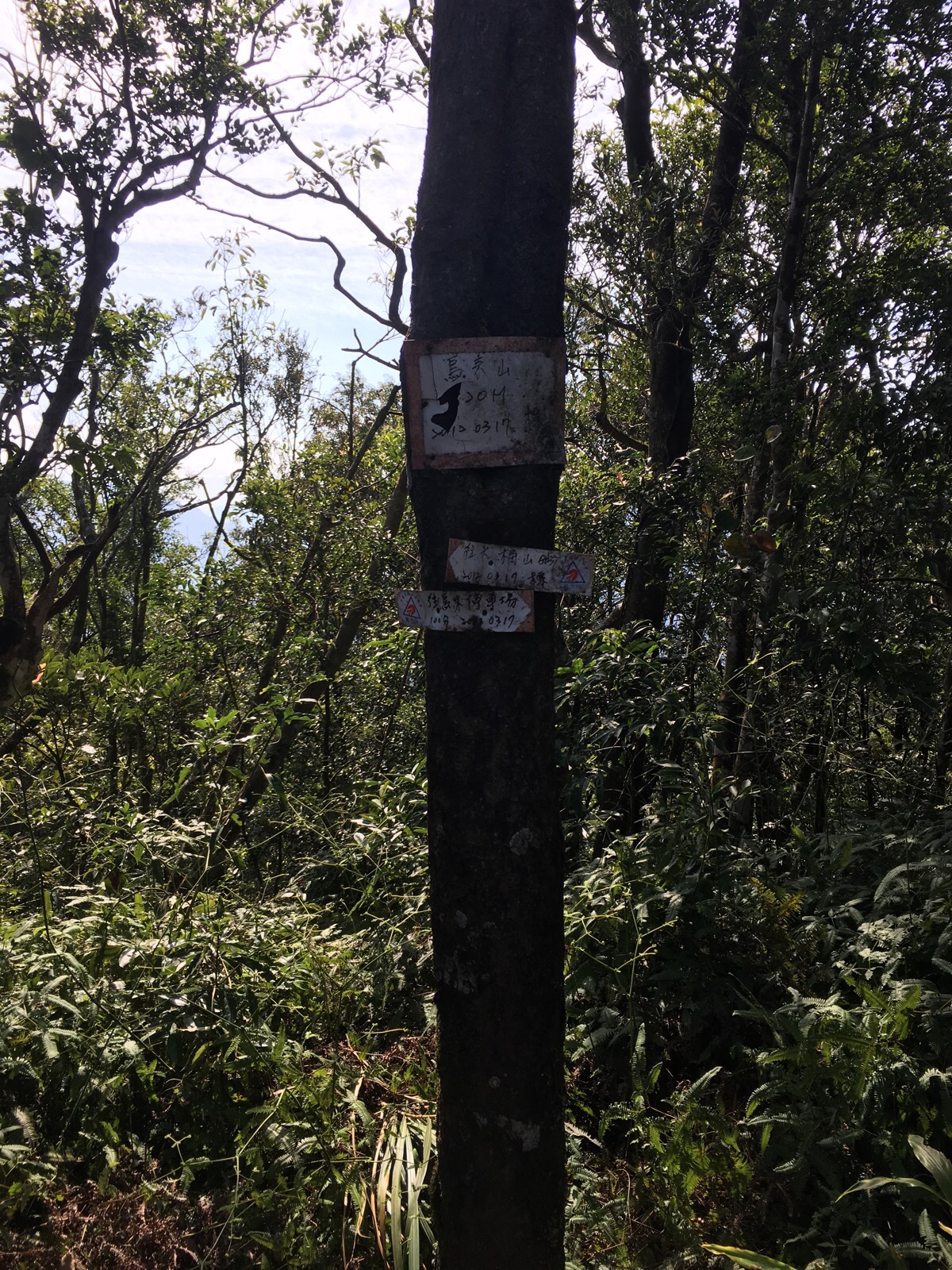
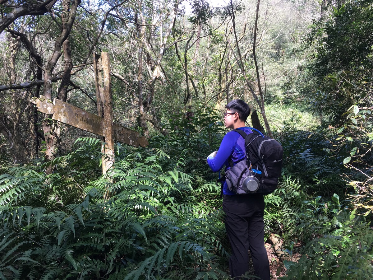
11:41 – There are a couple of signs between the two peaks, but there’s only one path, so until you reach Datong shan, you don’t need to worry about which way to go.
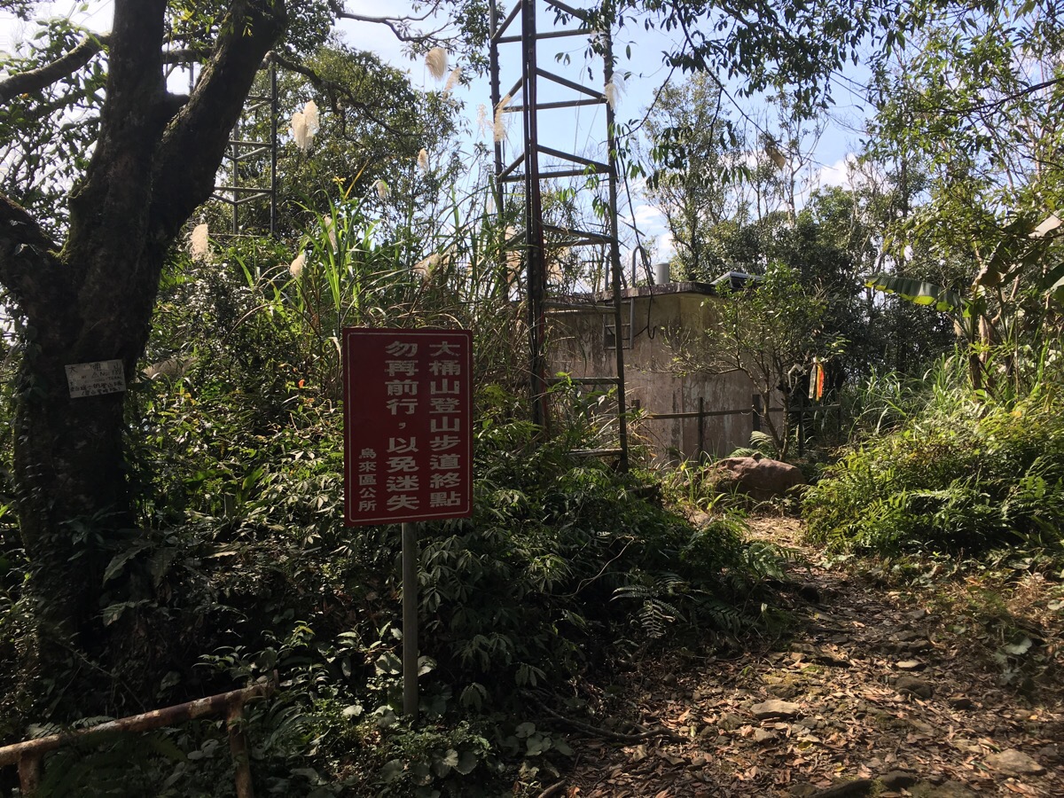
11:48 – The top of Datong shan isn’t especially beautiful. There is a clearing and a weather station, but no view to speak of.
We didn’t hang around here, and instead continued on towards the east peak, (my map indicates that another trail maybe goes down past the weather station building, but I didn’t investigate it).
11:59 – Just beyond the main peak, the path splits. We took the left path down, following the Mount Datong trail, but we took a short detour to visit the east peak first.
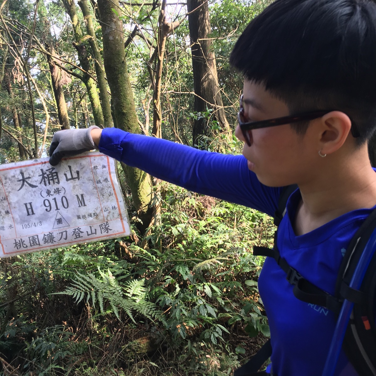
At 910m, the east peak sits 6m lower than the main peak.
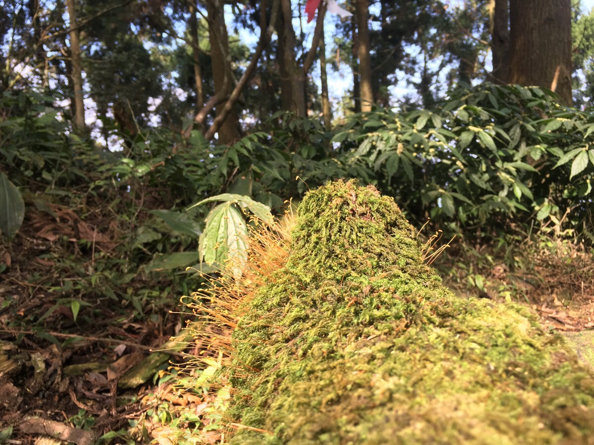
There wasn’t much of note there, except for a splendid mossy carpet on a log.
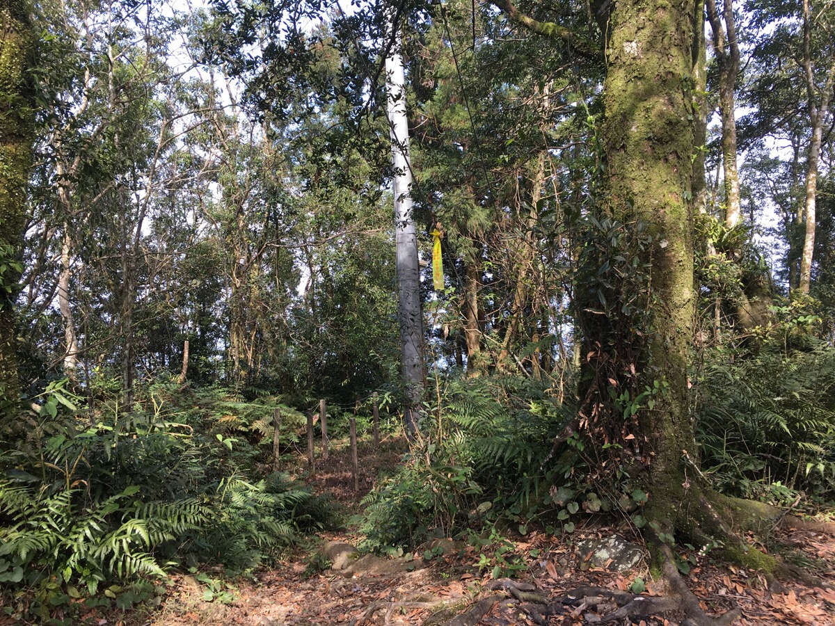
When we started on the actual descent, there was a dramatic change in the type of forest.
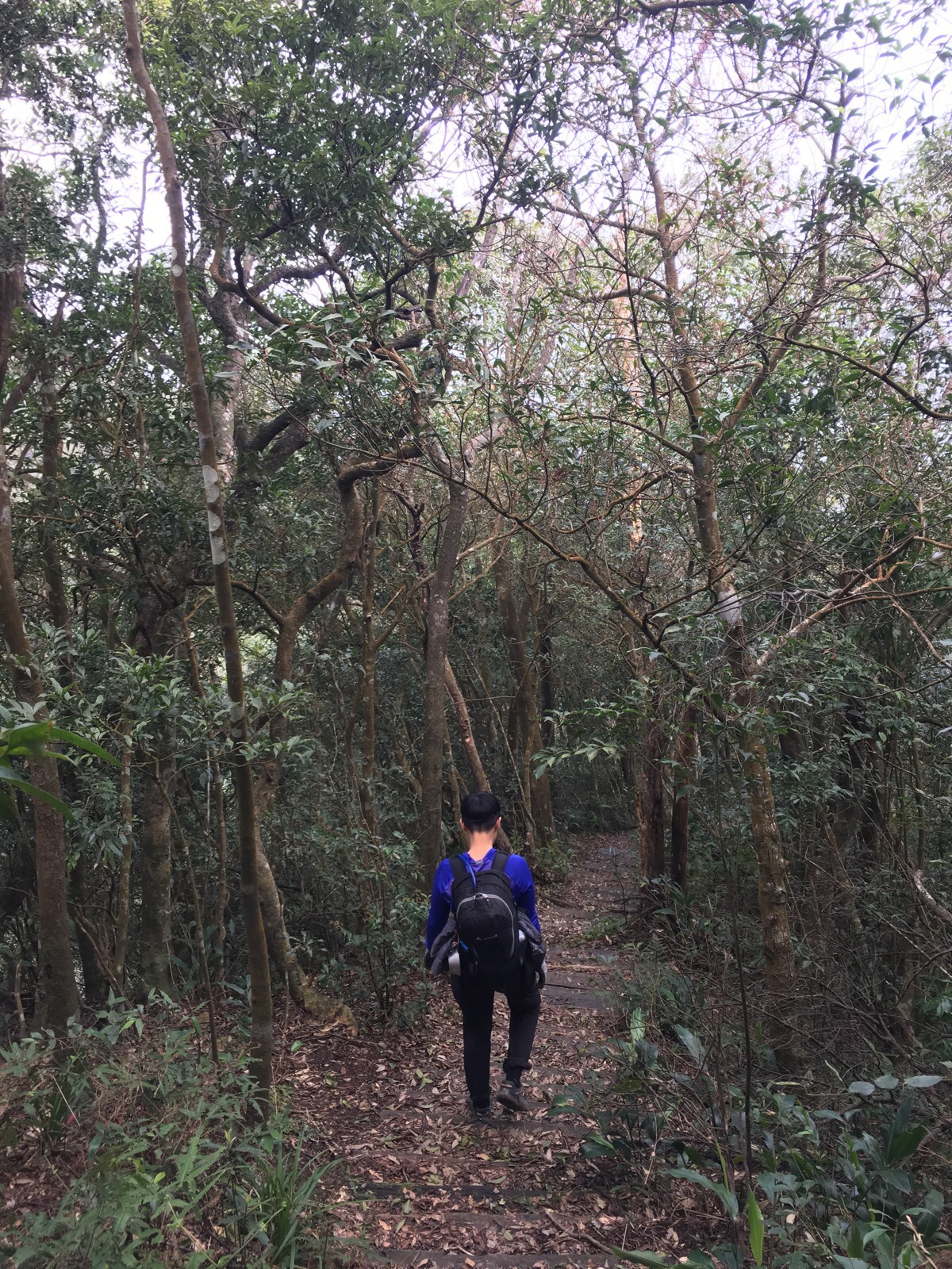
From here down, most of the trees are Japanese Cypruses towering above ferns. There is also a kind of path – I say kind of because the wooden steps were in the process of disintegrating, several had gone completely.
12:38 – At the first junction since starting our descent, we encountered a family who had walked up from 桂山路/Guishan Road. They seemed to have started their walking thinking it was just a little more energetic than a gentle stroll, only to discover that it was a little more than that. They enquired about where we had come from and if they could continue the walk that way, but given that they had parked their car at the trailhead and weren’t really wearing what you’d want to wear if you encounter leeches, we advised them to go up to Datong Shan and then turn back. We continued straight on the Mount Datong hiking trail.
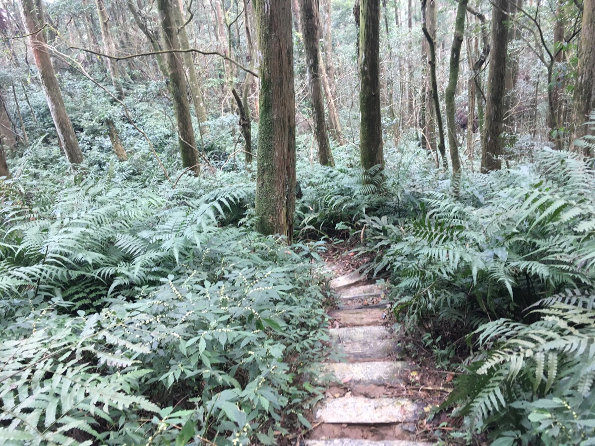
This has to be one of the most indecisive pieces of trail planning that I’ve encountered so far in Taiwan. Sometimes the path was barely visible, just a trail through the undergrowth…
…then at other times it was a well-laid (if slightly rotten), stepped path.
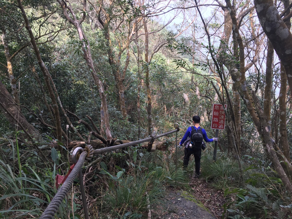
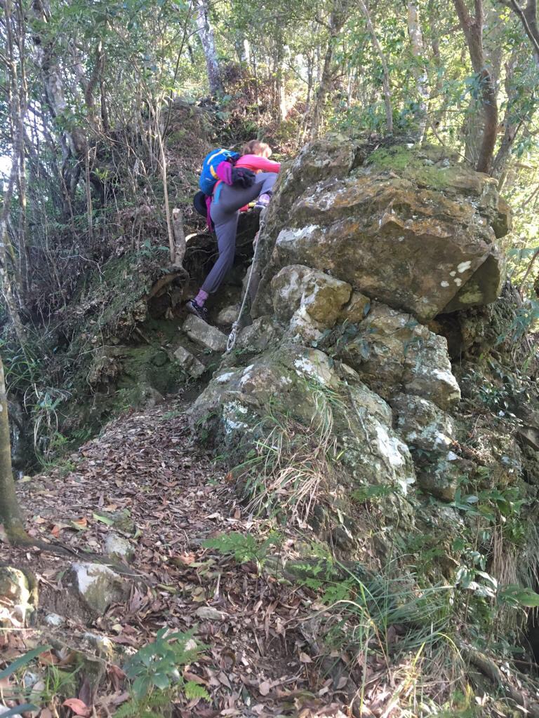
12:42 – We were intrigued to see the presence of signs warning “dangerous, pass through quickly”, but upon reaching the dangerous section, I have to assume that it is only dangerous if you are only being a tit and fighting through the undergrowth to get an impressive selfie. To the right of the path, there is indeed a steep drop down an exposed rock face which wouldn’t be much fun if you found yourself falling down it, but you’d have to be doing something silly to be able to fall.
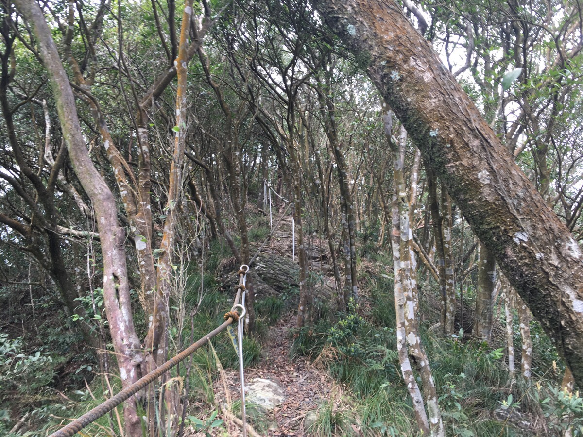
The short roped section leads up to an interesting geological rock feature described as ‘tofu rock’
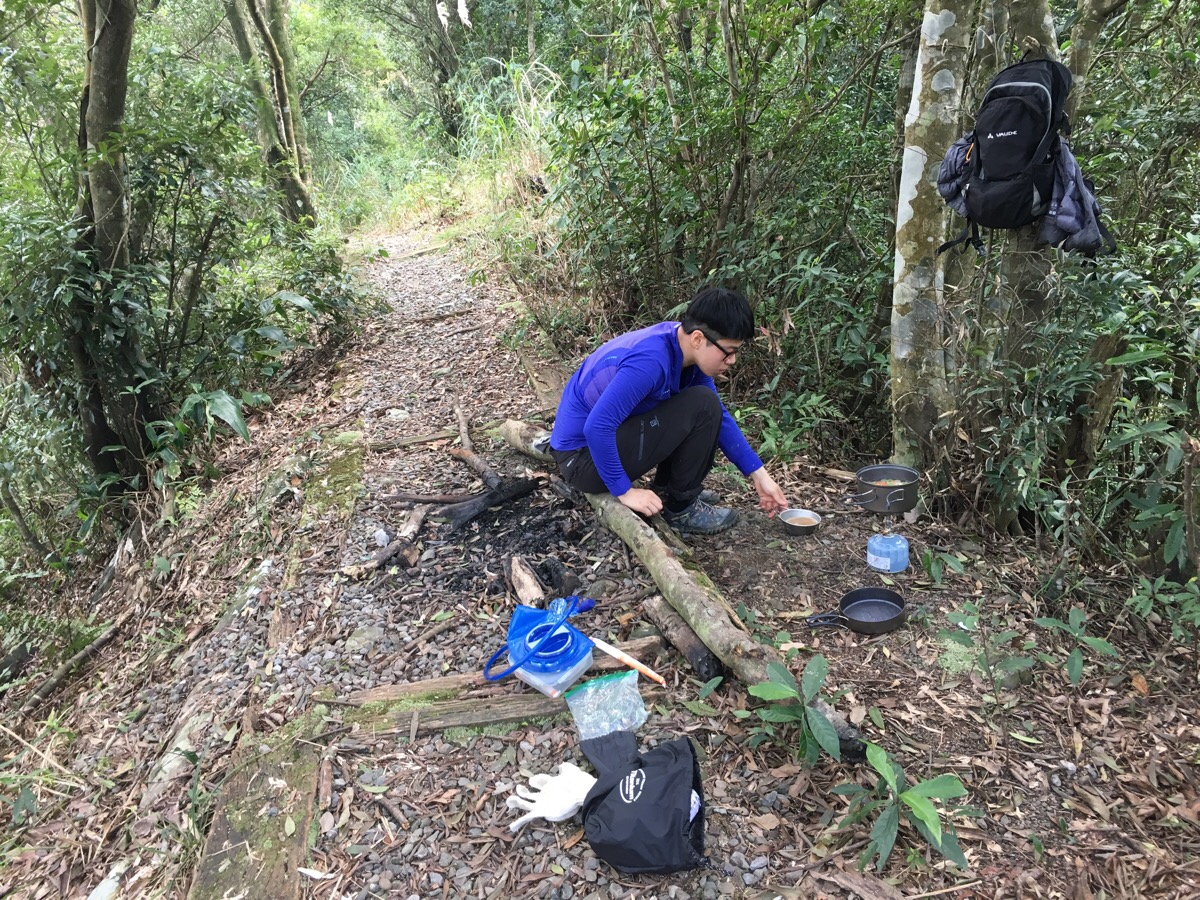
13:40 – Actually we back-tracked a little to eat here, the original plan had been to head on to Si Kan Shui Shan/四崁水山 and stop, then walk back before heading down, but the path was almost non-existent so we only went 50m or so before giving up on the plan and returning to the nearest flat piece of ground to cook lunch.
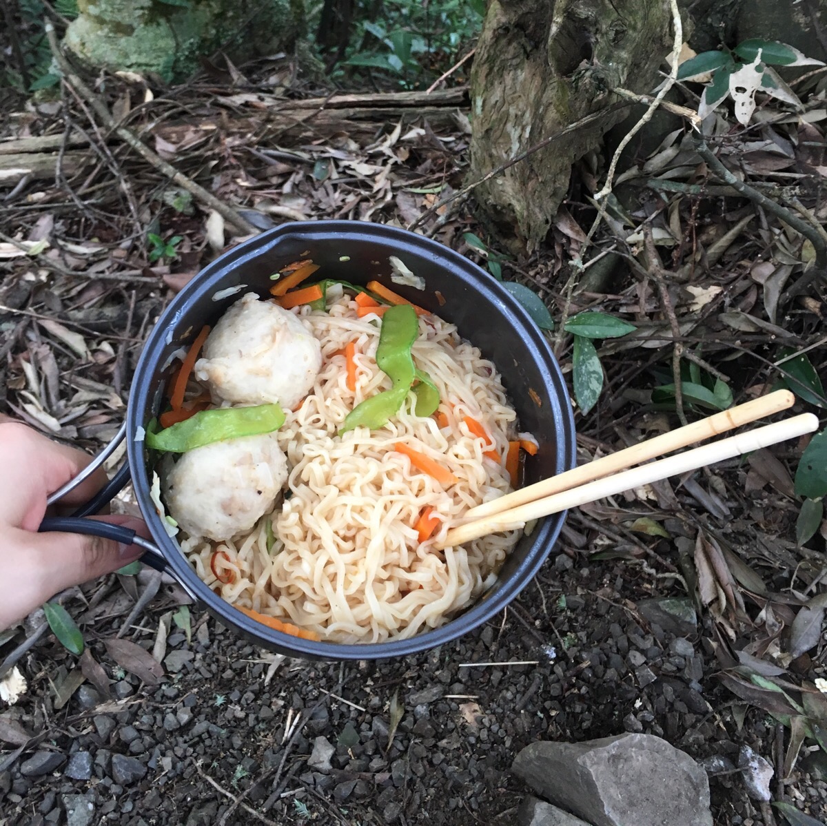
We had brought instant noodles and some pre-cut vegetables which were greatly enjoyed.
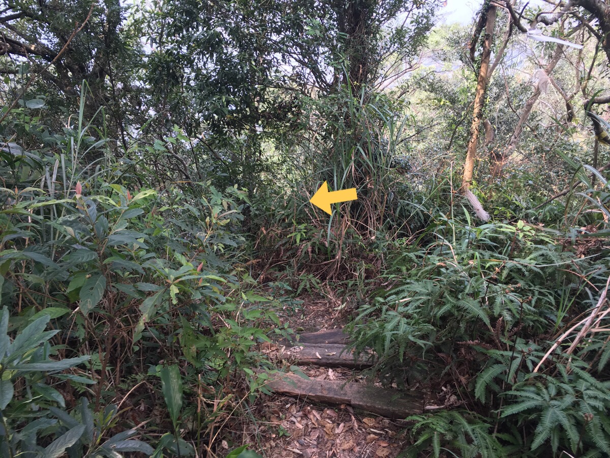
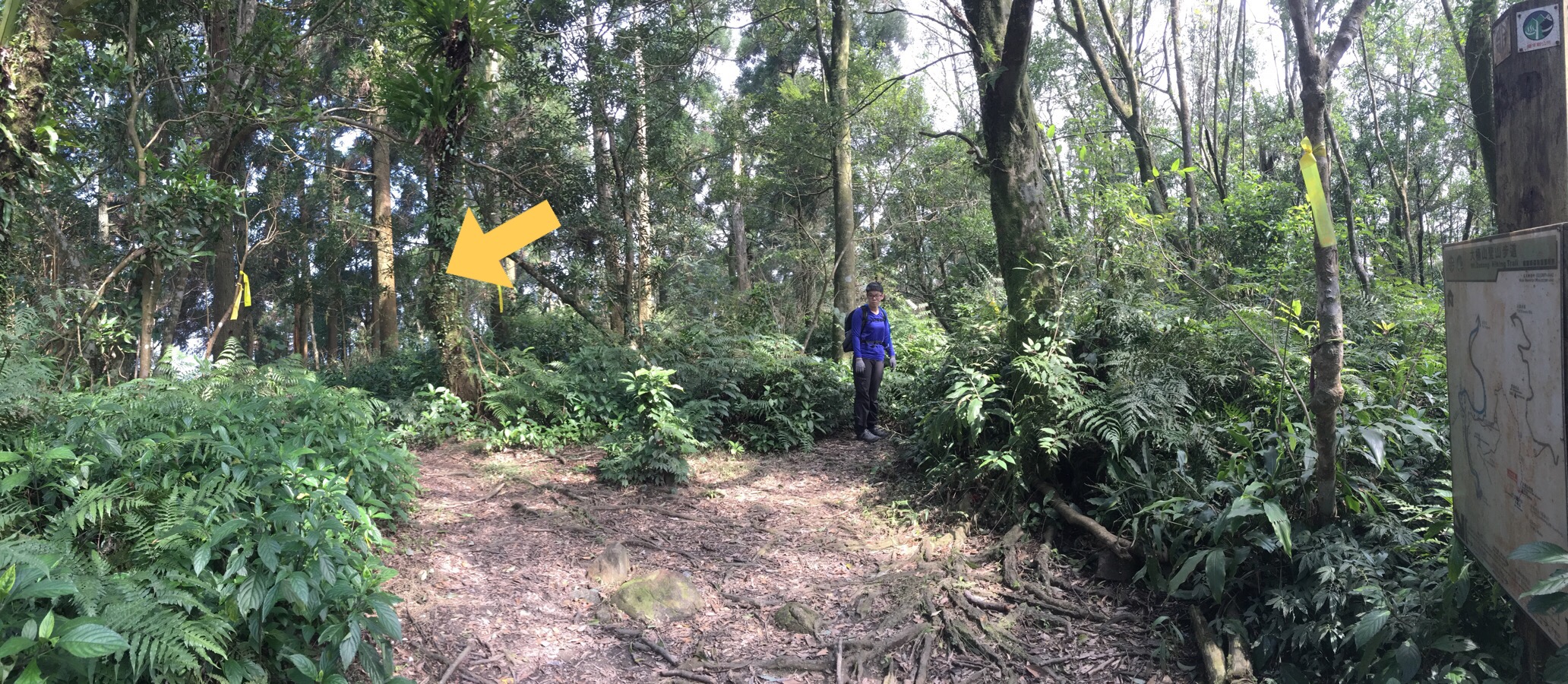
14:21 – After a 40 minute lunch break, we carried on our way down – this is the junction with the trail which heads to 四崁水山, the lefthand trail down to the road is the only clearly visible trail so it should be easy to stay on track.
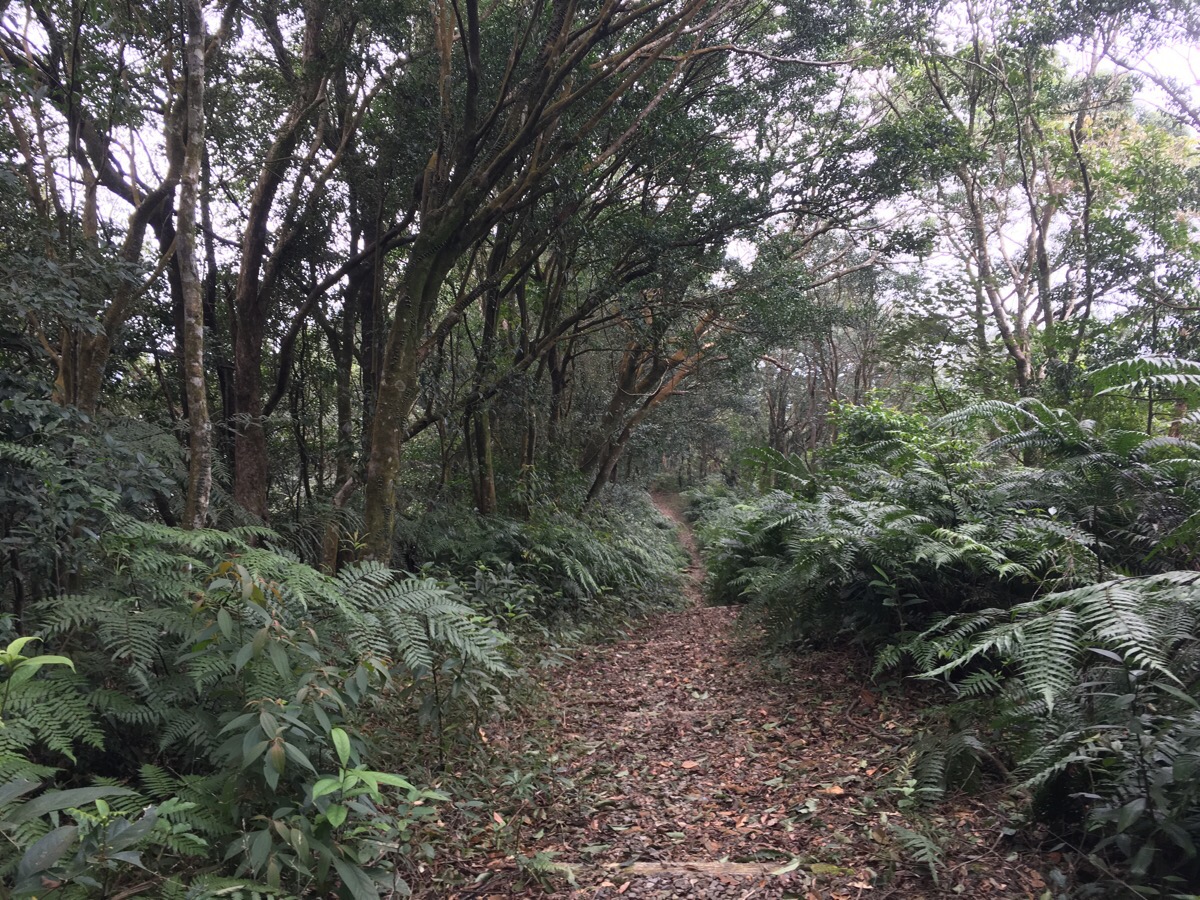
The path from here is a consistent and (mostly gently) down.
14:36 – From just before where the wide steps are, it was evident that someone had recently been through with a machete because there was evidence of cut plants all over.
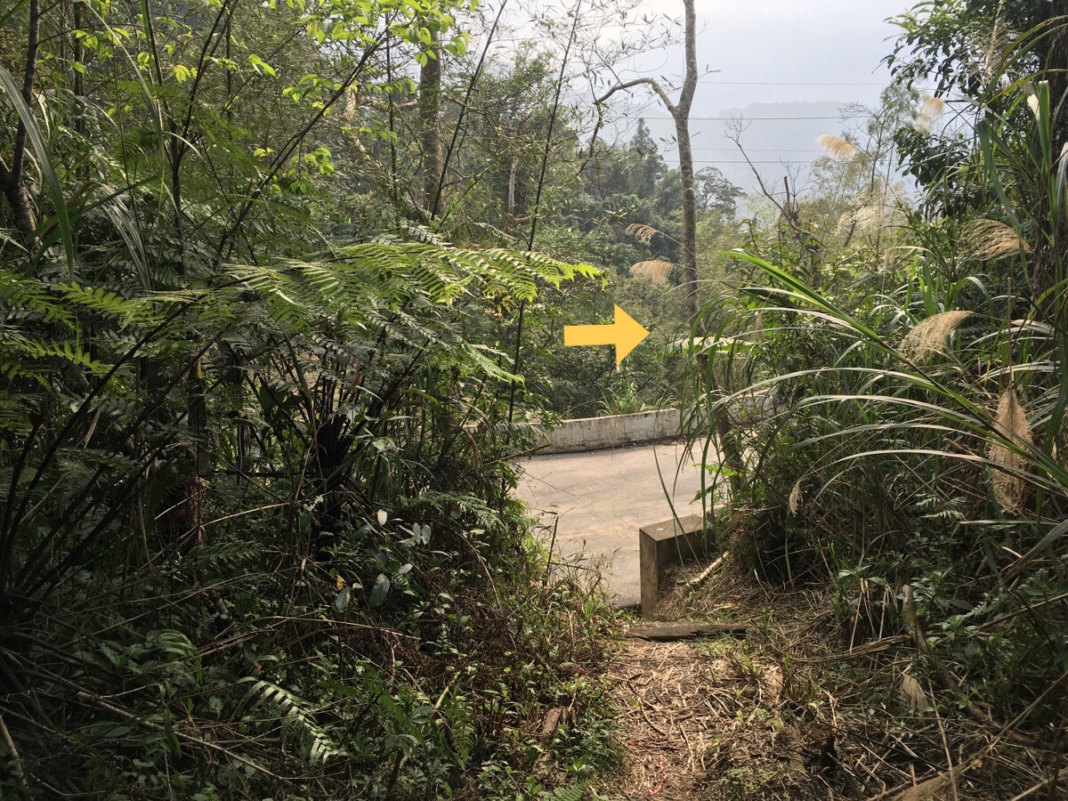
14:47 – We reached the trailhead around six hours after setting off and saw something small and shrew-like darting into the undergrowth just as we passed through the gate.
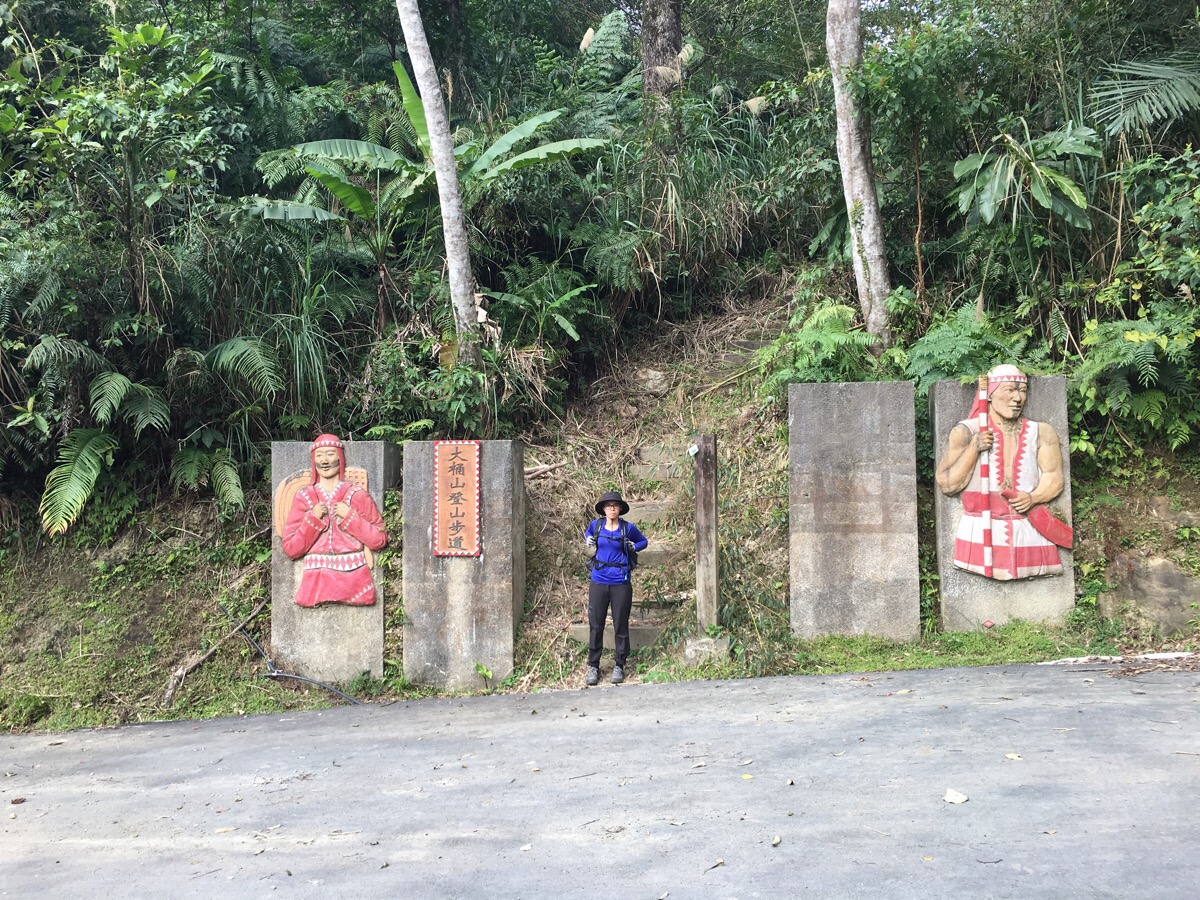
Despite it being literally in the middle of nowhere, this entrance was a lot more legit-looking than the one we’d started at.
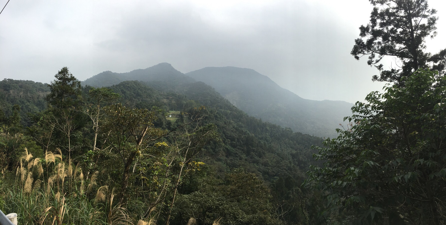
The view as we exited the trail was looking back towards the peaks we had just climbed.
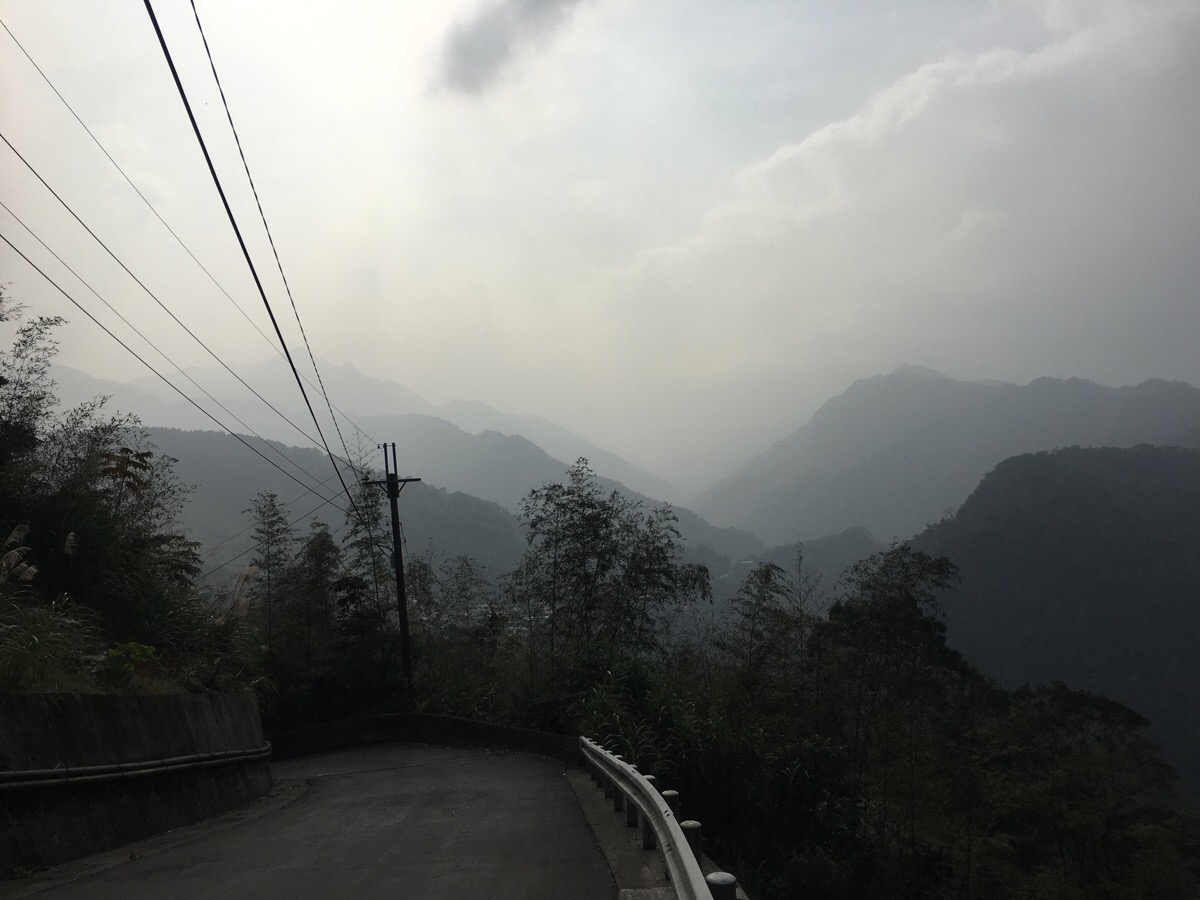
And as we followed the road down past the occasional house, the layers-upon-layers mountains to the east of where we we looked mightily inviting.
15:04 – At a junction we noticed a turn-off to the left for a coffee shop. It seemed like a really bizarre place to choose as the location for a business which relies on people visiting in order to make money. Teresa said it probably marketed itself as having great views – a draw for the romantically-inclined.
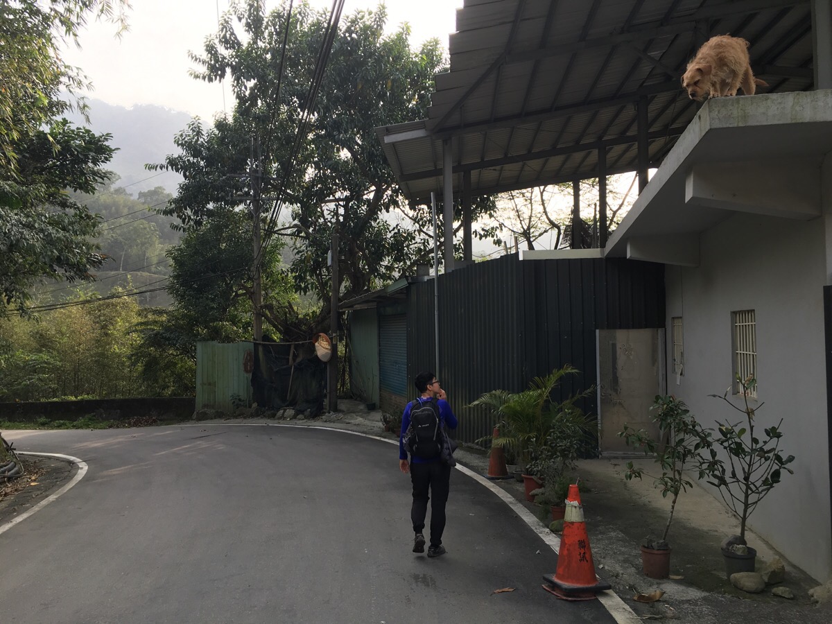
One unoccupied-seeming house on the way down has a living, breathing gargoyle. This pup’s serious underbite made him look rather ferocious, however the wagging tail belied his true intentions. I was just rather worried that he might jump down for some belly rubs and injure himself in the process.
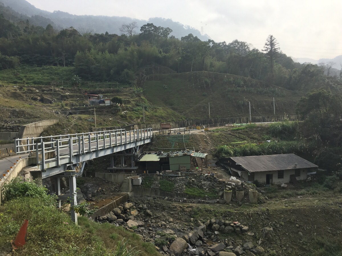
15:10 – A recent, large-scale engineering project has seen an ugly-looking bridge built over a constructed watercourse.
We could feel that we were re-entering civilisation proper when we passed 九玄聖 temple, (just to the right of the road). We kept following the road downhill.
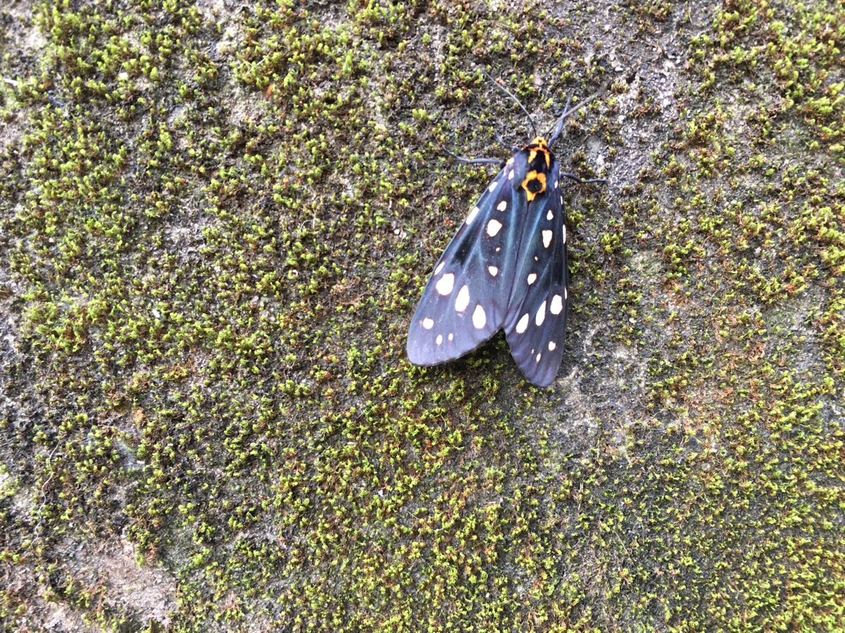
As the road descended into a small village we passed a taxi driver who seemed to be doing double duty as a beer delivery man by loading up large numbers of heavy crates then carrying them from his taxi into a building whilst noisy dog yapped excitedly around his legs. It was at this moment that we spotted this brightly coloured (when it opens up there’s a lot more yellow) moth fluttering around on the road as if it was just getting to grips with its wings. Later identification efforts using the wonderful tool that is Project Noah have informed me that this is a Histrio Tiger Moth (or Alglaomorpha histrio formosana).
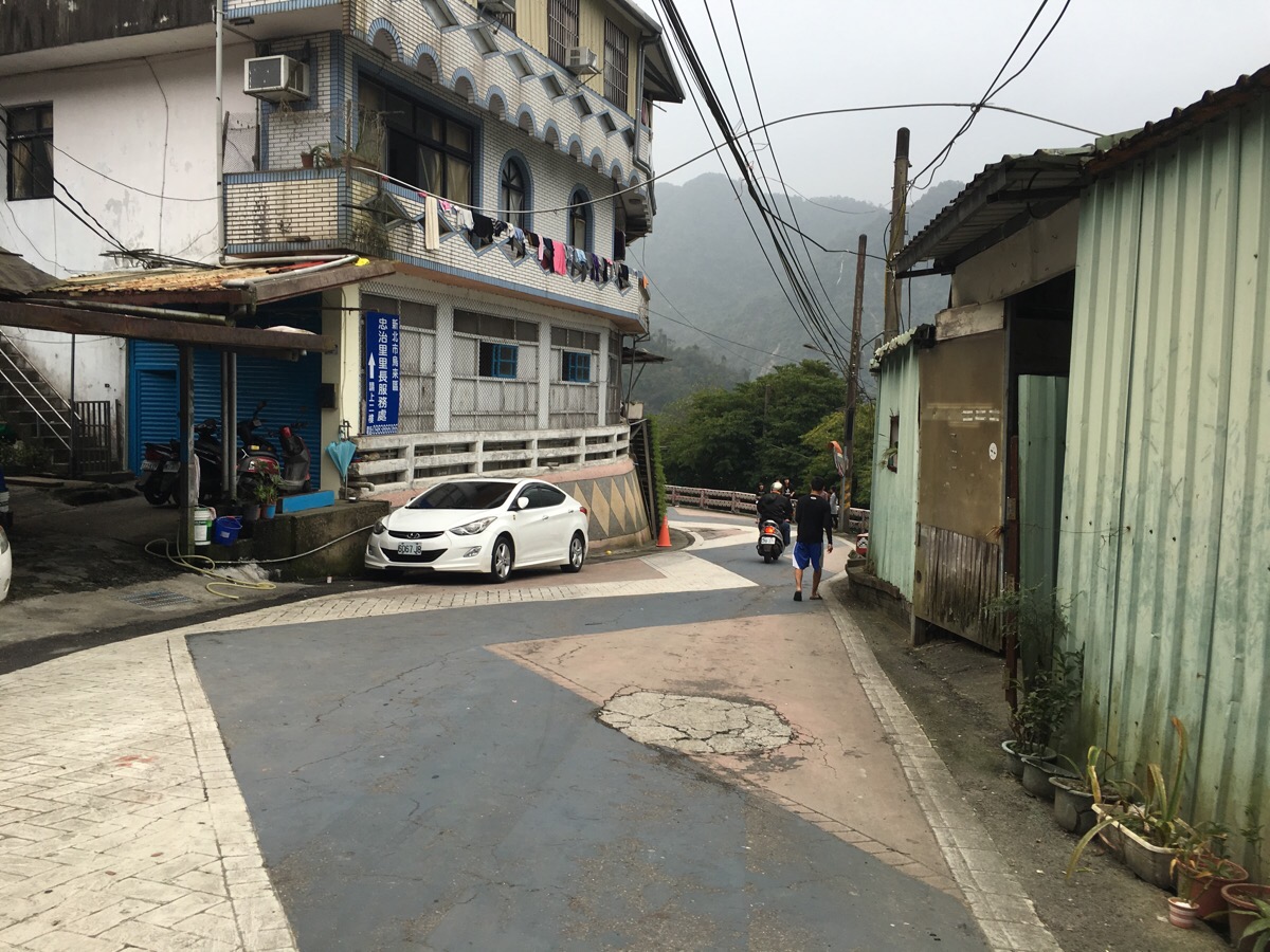
15:29 – Passing through a small community, I was conscious that I couldn’t understand any snippets of conversation from the people standing around in the small village square. That and the prominence of a Presbyterian church indicated that this village is populated mostly by Taiwanese Aboriginals – I shouldn’t have found this remarkable really, since Wulai is famous for being the home of the Atayal people.
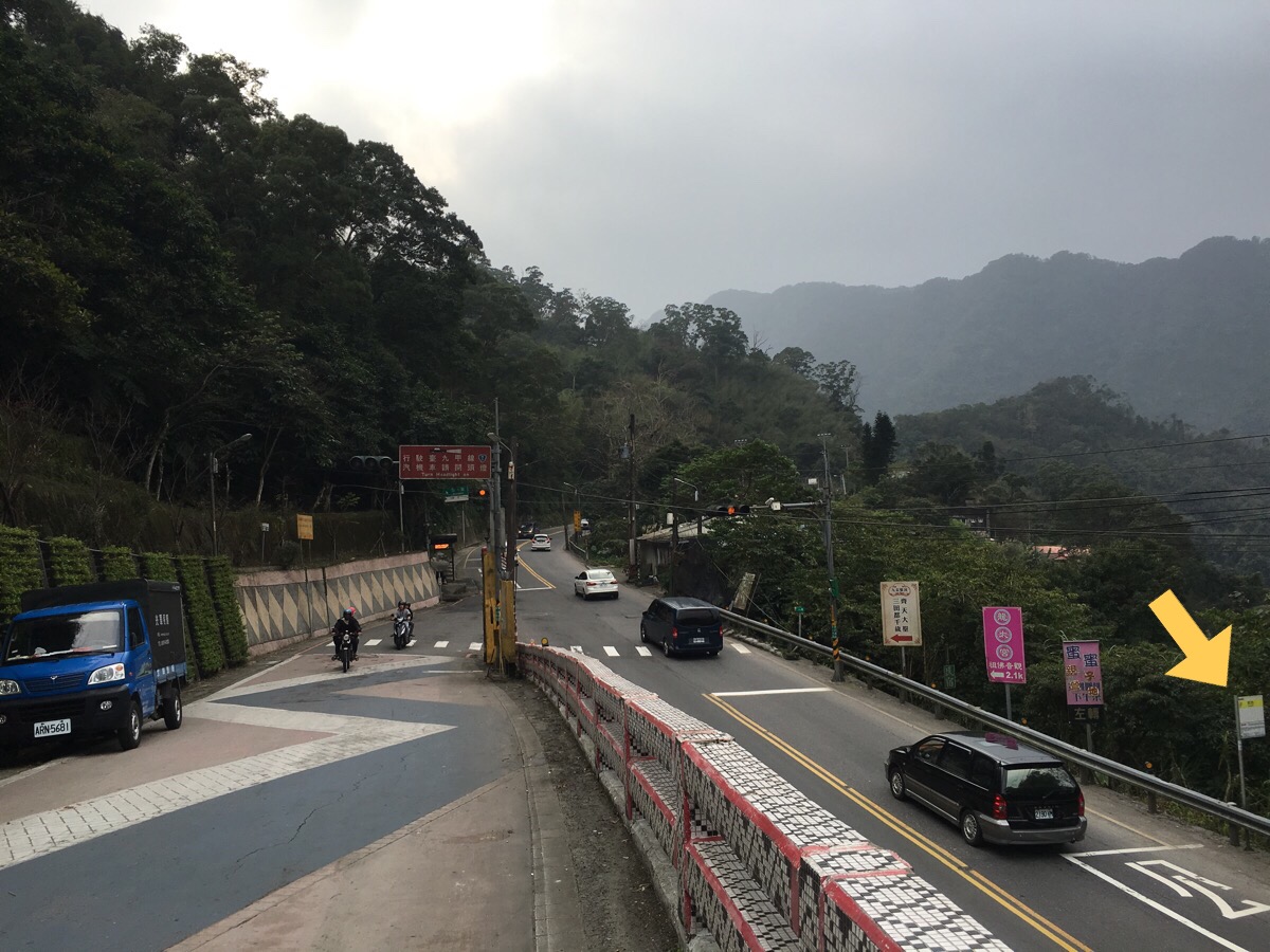
Upon reaching the main road, we had the choice to complete the loop by walking back to Wulai (this should have taken an extra hour or so), or to catch a bus back. Given that there was a high volume of traffic on the road, we opted for the latter and crossed the road to catch the 849 back to where we’d parked.
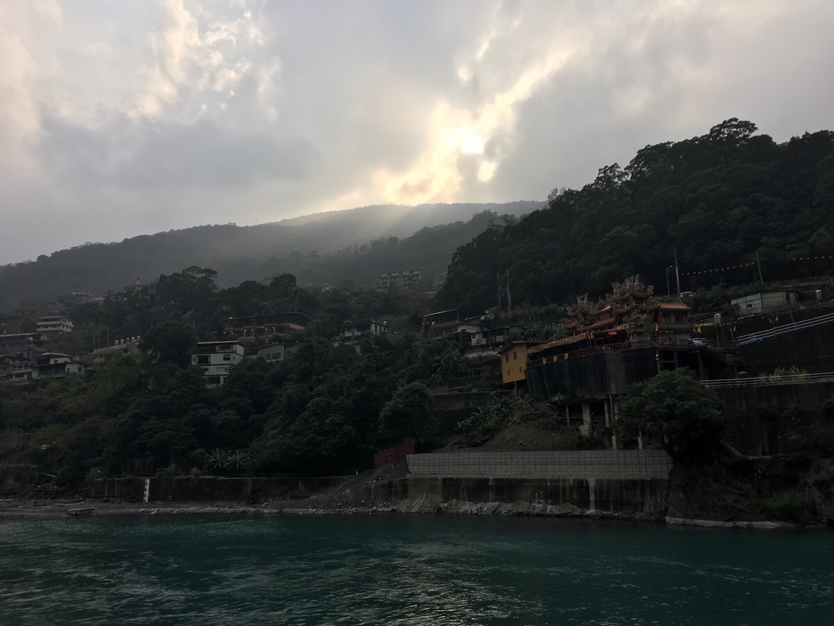
This was my first time to get out towards Wulai and I could see why it is such a popular destination, it is really rather picturesque.
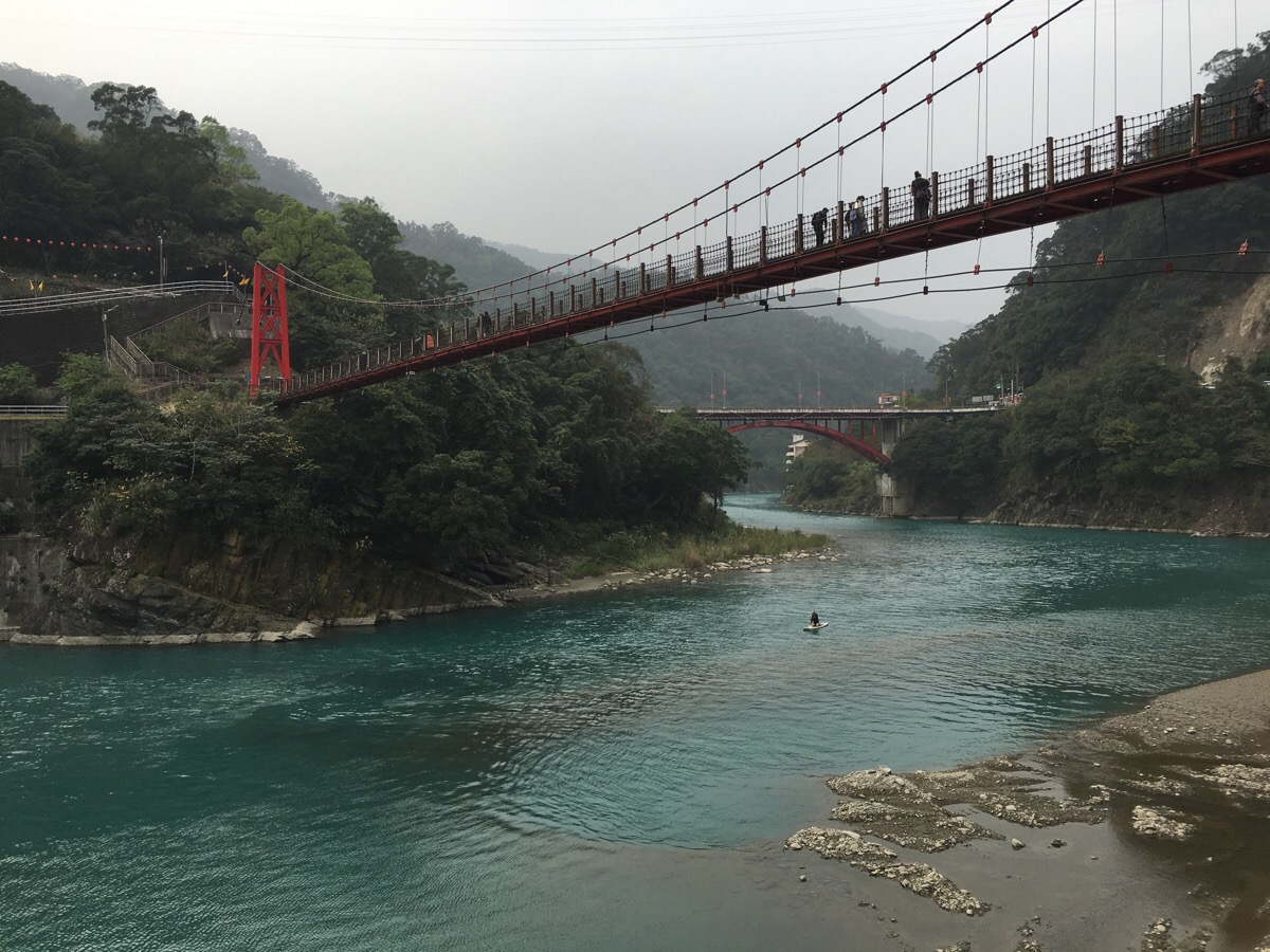
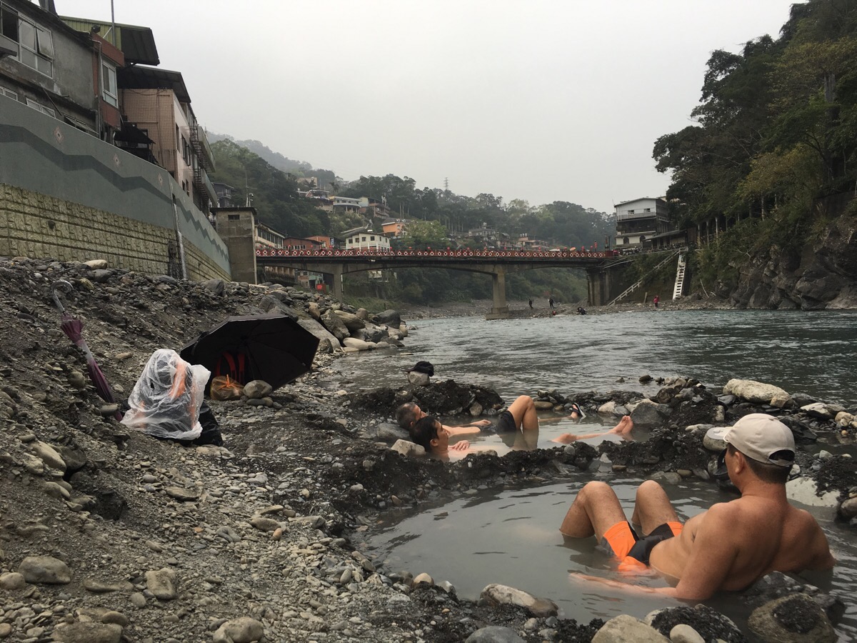
The blue of the water against the slate-grey rocks and rich green foliage is a beautiful palette of colours. After a nearly eight-hour hike, we were looking forward to getting our feet into the restorative waters of Wulai hot springs so we wandered through the old street picking up a coffee on the way to the free public access waters along the river. Technically the hot springs aren’t open for public use (as of February 2018) because the government is in the process of renovating the area, however the sign just bears a disclaimer saying that bathing is done at your own risk, and it seems like the locals couldn’t give a fig about health and safety disclaimers. The regulars have clearly got their own system and hierarchy, so we tried not to tread on any toes and instead just soothed our feet in the hot waters whilst a granny in a rather flattering swimming costume and shower-cap lounged in the pool with us.
How to get to Wulai Shan Trail
Google maps address: 233, New Taipei City, Wulai District – there are plenty of parking spaces here as long as you come early enough. The fee is a per-day rate payable via convenience stores and varies between regular days and holidays.
- Regular day small car: $60
- Regular day big car: $120
- Holiday small car: $90
- Holiday big car: $180
GPS location:
- Trailhead – N24 52.000 E121 33.100
- Hot spring – N24 51.640 E121 33.120
Public transport: there is good public transportation links between here and Taipei because the hike starts right from a famous sightseeing area. You can catch the 849 bus from outside Chiang Kai Shek Memorial Hall station and ride it all the way to it’s terminal station at Wulai. If you take this option, just make sure to get an early start – the bus takes about two and a half hours – see this link for hours of operation.
Further reading: given that this hike starts from such a famous spot, it is surprising that there seems to be almost nothing written about it in English, however it’s easy to find Chinese-language information like this or this.
Wulai Shan Trail Map
GPX file available here on Outdoor Active. (Account needed, but the free one works just fine.)
My new words learnt on this hike:
- 屁股甩一甩 / pìgu shuǎi yī shuǎi / shake your butt – from memory this was the commentary given for a toilet break.
- 很豐富 / hěn fēngfù / very rich
- mai tcha / (Taiwanese) 不要吵 / don’t be so noisy or shush
