The Taipei Skyline Trail (which should not be confused with the shorter and easier Taipei Grand Hike), is an almost 200km loop encircling the entirety of Taipei and much of New Taipei. Starting from Bitan in Xindian District, it climbs to Maokong, passes through Shiding, and takes you as far as Keelung before circling back. The northern arc cuts through Yangmingshan National Park, crosses Tamsui River at Guandu, strikes out for Yingge, then finally turns eastwards and slinks back over one final ridge to complete the loop at Bitan. Along its length, it passes over fifty peaks, eight or nine of which are included in the list of Taiwan’s 100 Minor Peaks, and if you complete the whole thing, you will have climbed in excess of 6900 metres–that’s about the same as scaling Ben Nevis (the UK’s highest summit) five times over.
The route has been split into ten sections, and I’ve split most of those in half for a more relaxing walking experience. Each section is well served by public transport, meaning that this route is ideal for completing one section at a time. What with weather, work and whathaveyou, it took me almost three years to complete the whole loop, but now I have, it feels very satisfying.
If you’ve hiked a lot around Taipei, there’s a fair chance that you’ve walked parts of this route already. The goal of the trail’s developers was to stitch together a long-distance route from paths that were already in use. Not only would this avoid the expense of having to build new walkways, but it could also capitalise on the tendencies of local hiking teams to repair and maintain the trails in their own neighbourhoods. (If you can read Chinese and are interested in finding out more about the inspiration, planning and decision-making process that went into bringing the TSLT into existence, then check out this PDF)
What sets this route apart from the Tamsui-Kavalan Trails or Raknus Selu Trail (two more of Taiwan’s long-distance routes) is that rather than following historic trails, it heads straight for the ridgelines, only coming down when it’s time to catch the bus home. The result is a thrilling journey encompassing some of the best views that Taipei has to offer.
TAIPEI SKYLINE TRAIL – SECTION 1A
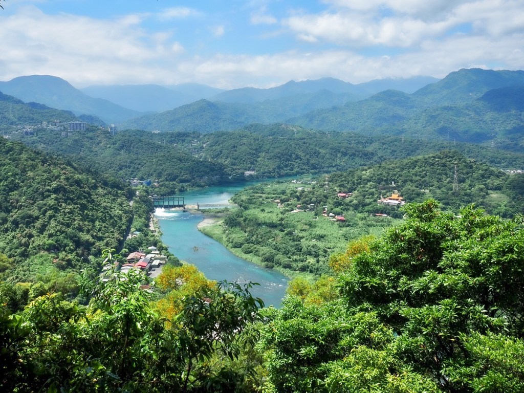
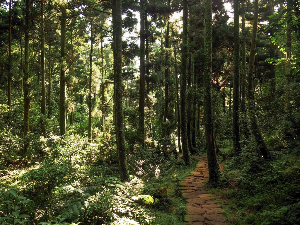
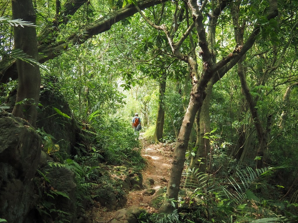
Climbing from the cerulean waters of Xindian River, the first section of the Taipei Skyline Trail takes you up to the ridge line that runs from Bitan over towards Shiding, getting steadily more rugged as it makes its way further east.
TAIPEI SKYLINE TRAIL – SECTION 1B
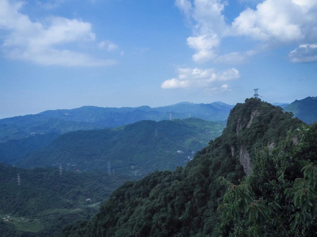
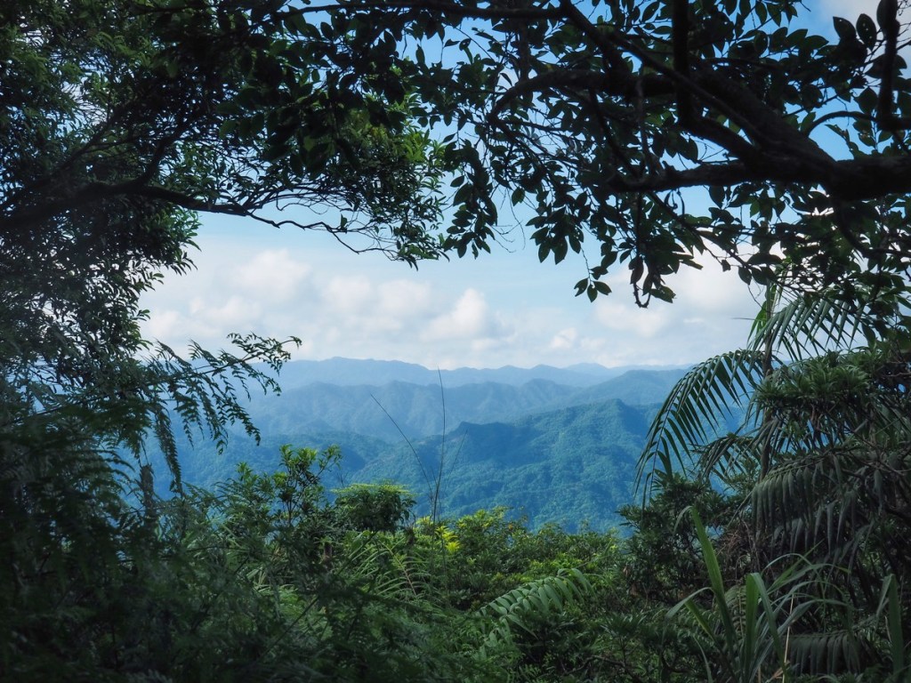
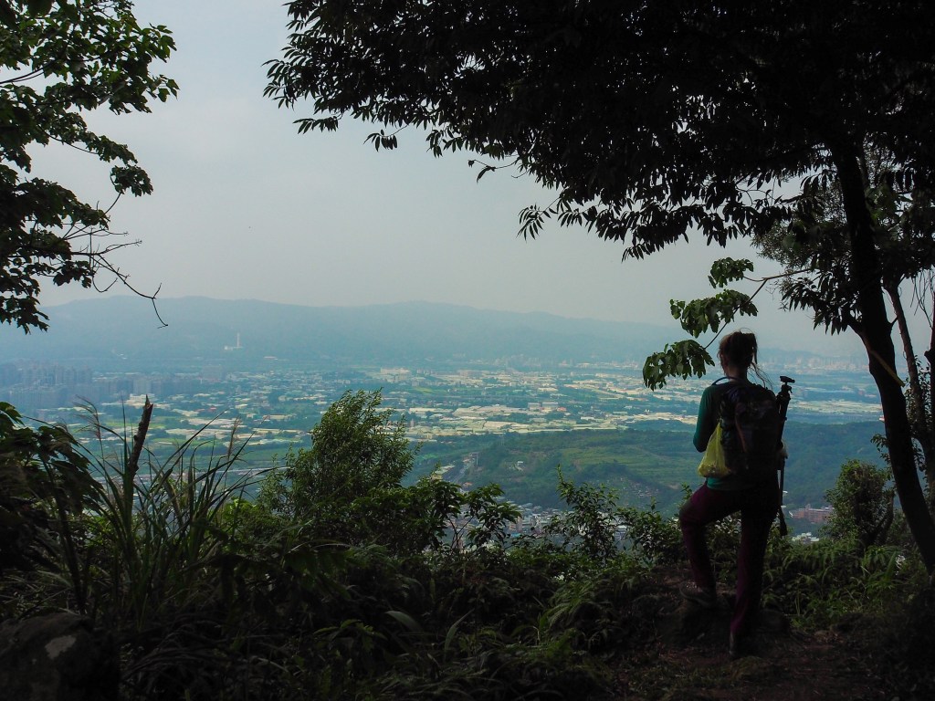
Taking you from Caonan in the east to Shiding in the west, the second half of section one offers thrilling climbing and some tantalising views over in the direction of the famous Huangdidian Ridge.
TAIPEI SKYLINE TRAIL – SECTION 2A
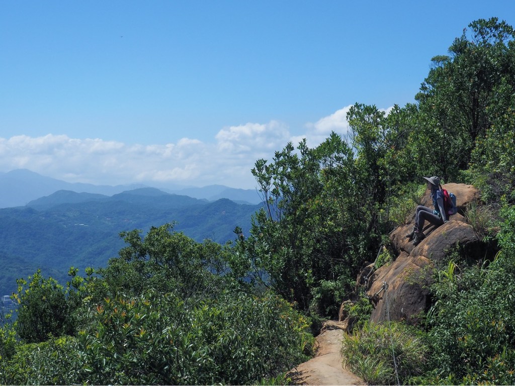
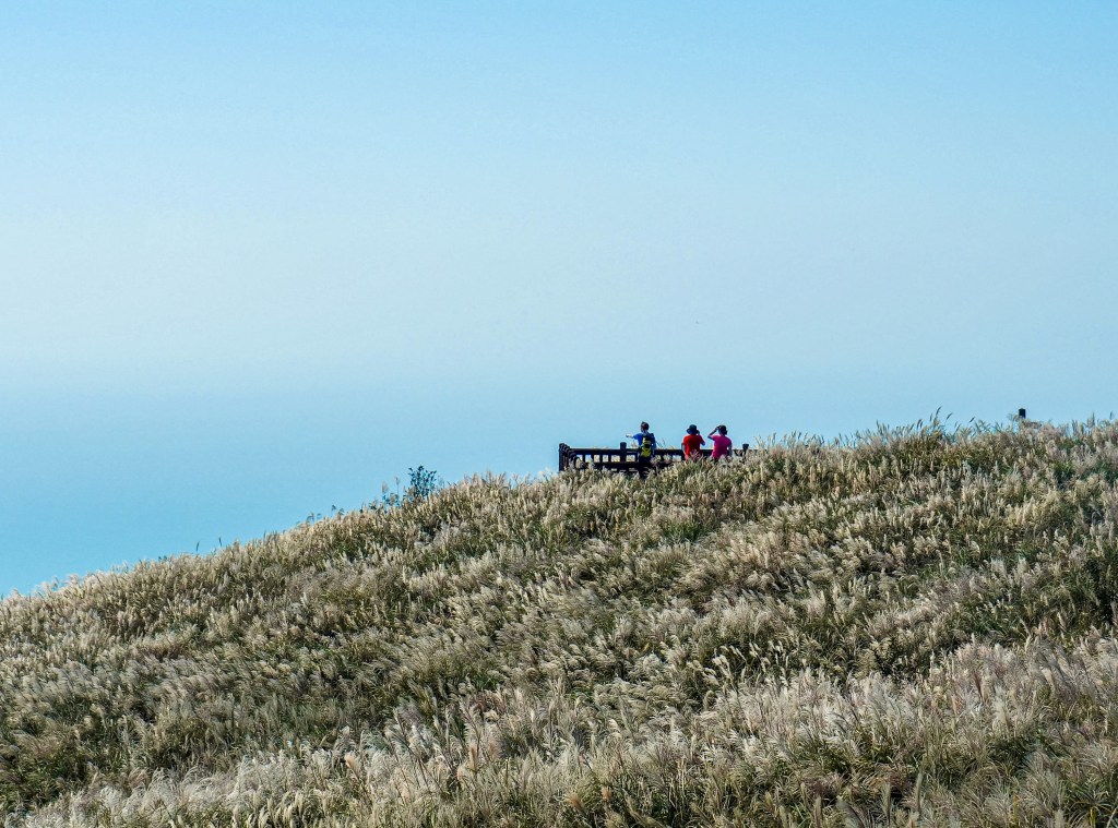
This section covers one of the quintessential Taipei day hikes: the spectacular Huangdidian. Bring a camera and a well-rested body, and come prepared for a very fun walk.
TAIPEI SKYLINE TRAIL – SECTION 2B
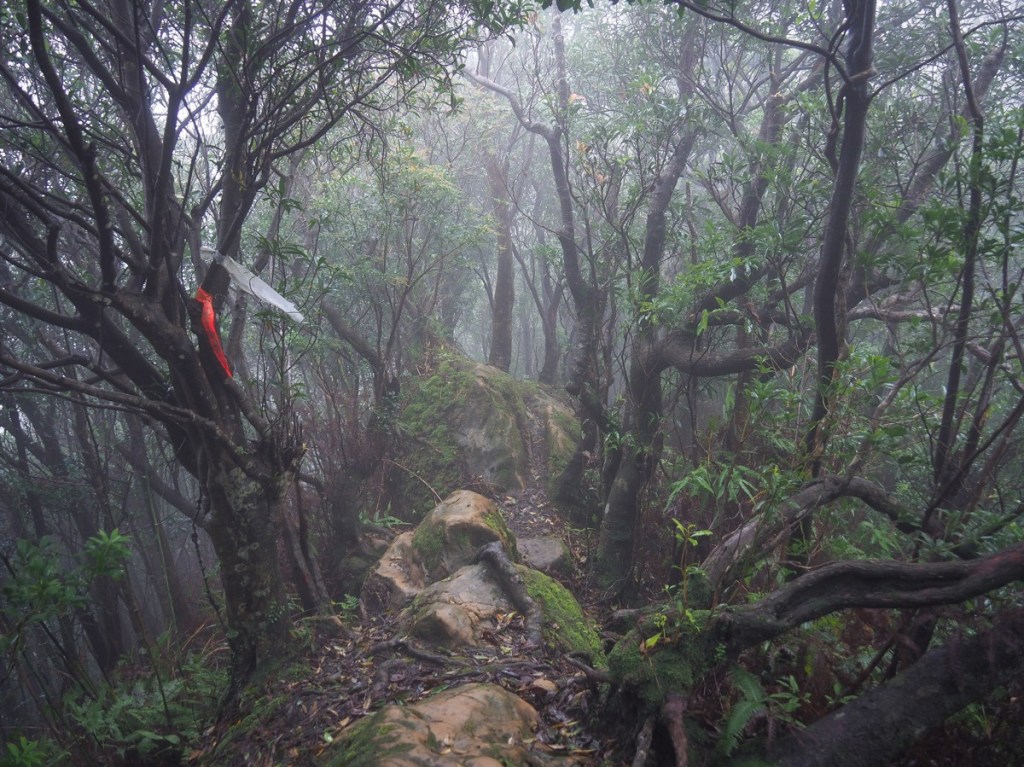
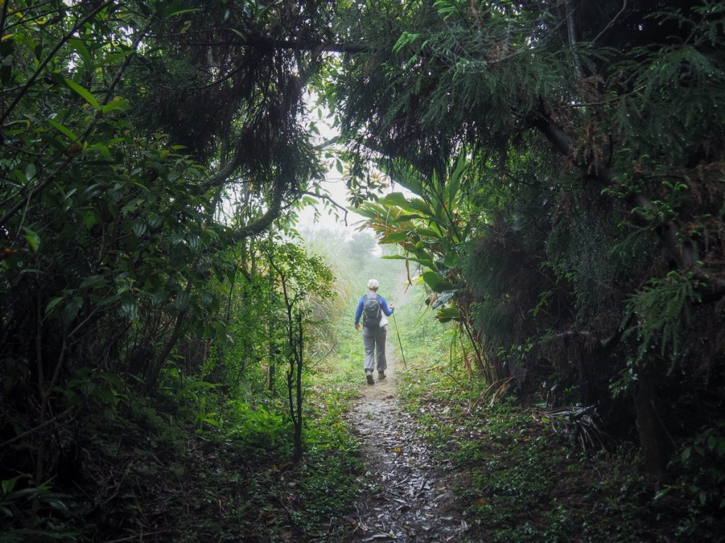
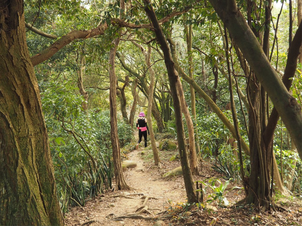
This section of the Taipei Skyline Trail was an unexpected delight. It has the twin charms of both a fun ridge walk and a temple-studded historic trail.
TAIPEI SKYLINE TRAIL – SECTION 3
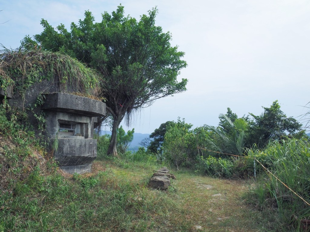
Straddling Xizhi and Ruifang Districts, Section three of the Taipei Skyline Trail offers a good workout, a few views, a historic fort, and one of Taiwan’s Minor 100 Peaks.
TAIPEI SKYLINE TRAIL – SECTION 4
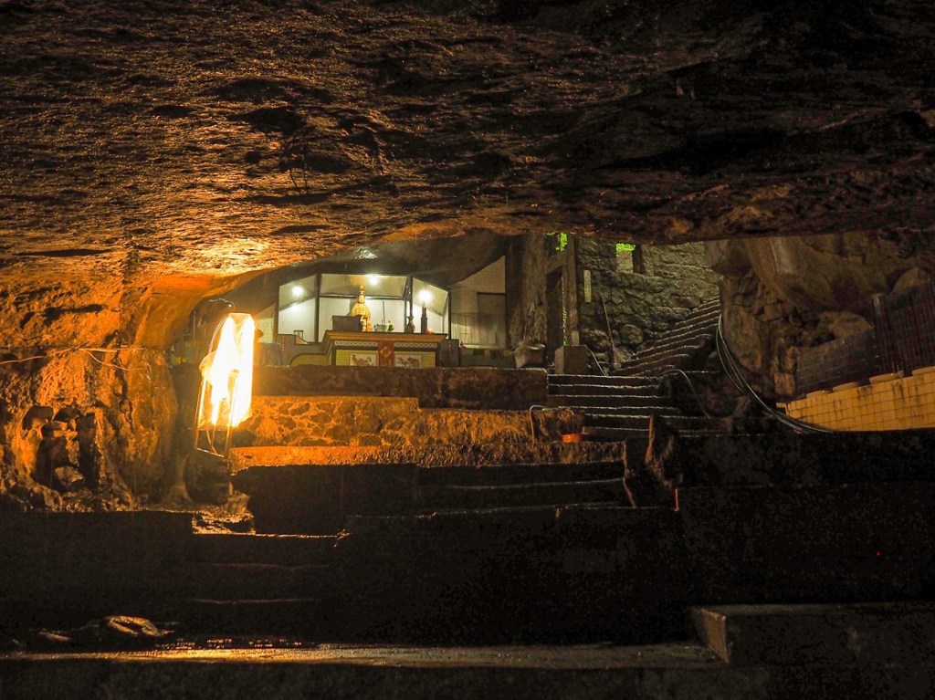
The highlight of this section of the Taipei Skyline Trail is unquestionably the exceedingly cool temple cave close to Mount Hongdan. That aside, it involves some pleasant wandering over less-travelled paths, and passes plenty of historic spots.
TAIPEI SKYLINE TRAIL – SECTION 5A
This section of the Taipei Skyline Trail takes you close to the coast as you explore some of the sights of Keelung.
TAIPEI SKYLINE TRAIL – SECTION 5B
The fifth section of the Taipei Skyline Trail sees you leaving Yangmingshan Park behind and entering Keelung. This section covers a long (muddy) ridge walk between Fengguizi and the very edge of Keelung City.
TAIPEI SKYLINE TRAIL – SECTION 6A
Most of the Taipei Skyline Trail’s sixth instalment covers trails within Taipei National Park. This first half takes you along the same route as the Taipei Grand Hike, and also happens to be one of the prettiest easily-accessed walks in the park.
TAIPEI SKYLINE TRAIL – SECTION 6B
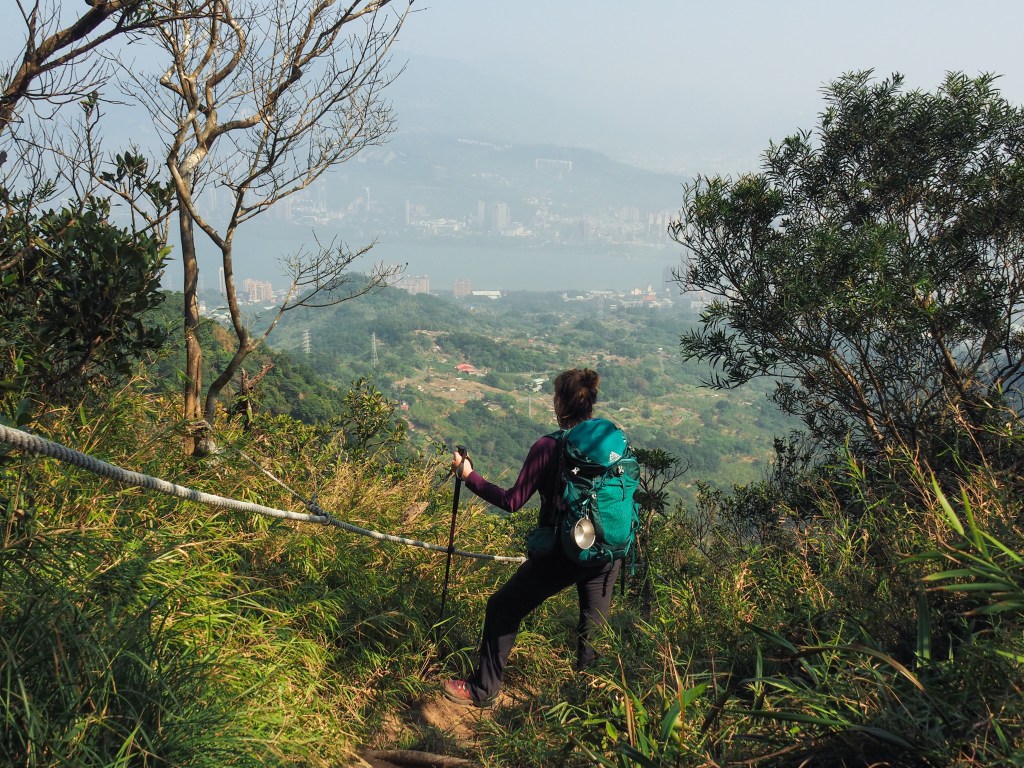
This section of the Taipei Skyline Trail offers grand views over Yangmingshan Park’s western hills, as it takes walkers over the steep (and often) muddy peaks of the Mount Datun range.
TAIPEI SKYLINE TRAIL – SECTION 7A
Section 7A of the Taipei Skyline Trail sees you scaling Mount Guanyin the hard way, before leading you along a quieter stretch of path to the place where Taiwan’s Robin Hood (allegedly) met his end.
TAIPEI SKYLINE TRAIL – SECTION 7B
This section of the TSLT picks up in Wugu and makes its way through some pleasant edge-of-the-city type trails as it skirts the northwestern edge of Taipei.
TAIPEI SKYLINE TRAIL – SECTION 8

This leg of the Taipei Skyline Trail (best done in one concerted push), takes you through along a pleasant and mostly very gentle ridge. As you make your way towards the centre of Taiwan’s ceramic industry, you’ll pass multiple peaks, an ancient banyan tree, and a legendary rock.
TAIPEI SKYLINE TRAIL – SECTION 9A
This section of the Taipei Skyline Trail is unique in that it is almost a loop. It covers conjoined ridges that form a horseshoe-esque shape stretching from Sanxia, out towards Daxi, and then back to Sanxia again.
TAIPEI SKYLINE TRAIL – SECTION 9B
Much of the Taipei Skyline Trail stitches together popular routes on the edge of the city. Not so this section, which looks like it doesn’t get many visitors.
TAIPEI SKYLINE TRAIL – SECTION 10A

Leading from Sanxia District and on towards Tucheng, this section of the Taipei Skyline Trail was an unexpected pleasure. Gently taxing and quiet ridge line trails offer a wonderful escape from the city.
TAIPEI SKYLINE TRAIL – SECTION 10B
This section of the Taipei Skyline Trail packs a lot of interesting spots into its not-quite-14km length. There are not one, but two Xiao Bai Yue, and one of Taipei’s most impressive land god temples.
