Distance: 8.8km
Time: 7¾ hours – This is more of a day hike than a morning hike.
Difficulty (regular Taiwan hiker): 4/10 – Tiring and requiring concentration, but not difficult.
Difficulty (new Taiwan hiker): 7/10 – The initial climb up to the ridge is a strenuous workout, but once on the ridge, it’s not that challenging (aside from a couple of roped sections). Having said that, this is the kind of walk where you can’t take your eyes off the ground, it’s uneven and full of tree roots and rocks.
Total ascent: 779m from a minimum elevation of 101m to a maximum of 642m.
Water: I got through most of my 2.5L on a warm day, (this also used for cooking).
Shade: Dappled shade throughout, I wore sunscreen.
mobile network: Patchy, but not too bad on the ridge.
Enjoyment: This is exactly what I think of as being fun hiking. Aside from one or two longer climbs, you are mostly following the ridge line and this means that the waking is taxing but not overly difficult, and because of this, you can spend more time enjoying the experience rather than just feeling tired. There are a few good views over the nearby countryside, and the trail can be accessed easily by public transport at both ends.
Other: Make sure to bring gloves and enough food to keep you going.
Jump to the bottom of this post for a trail map, GPX file, and transportation information.
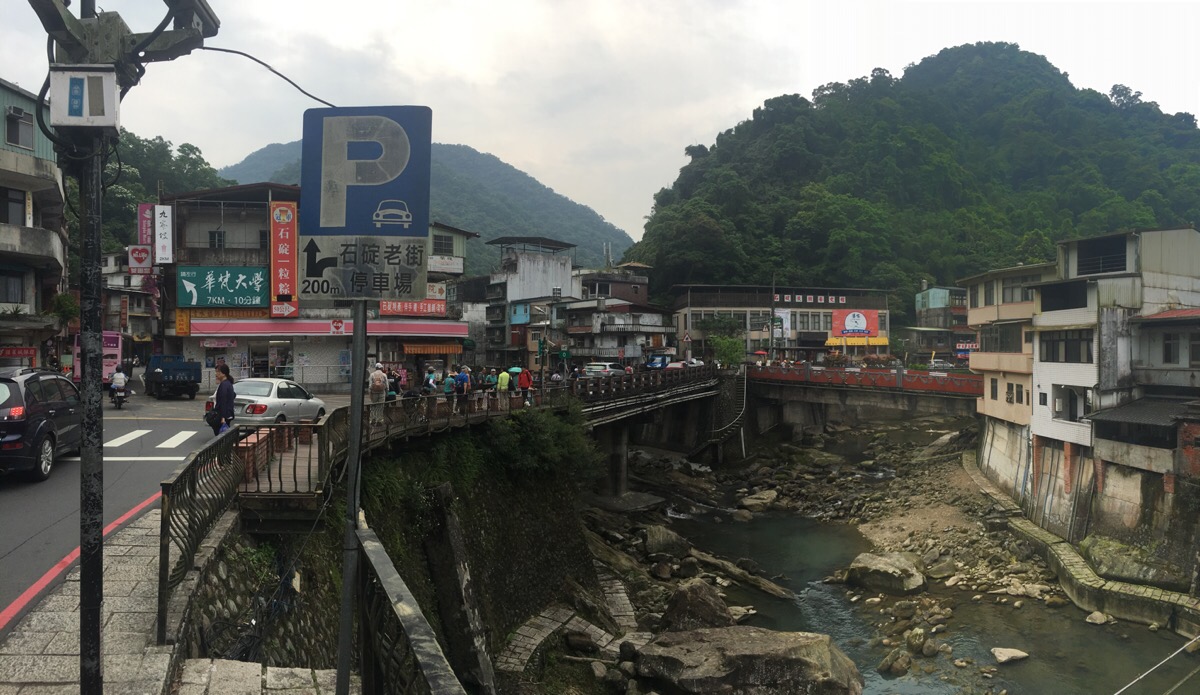
It was a relief to be able to pile off the overcrowded bus when it arrived at Shiding. Teresa popped into the OK Mart but didn’t see what she wanted so we got started.
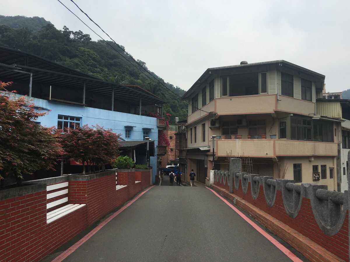
To get to the trailhead, turn right over the red brick bridge and follow the road past a small cafe, temple and several dwellings. We went on the weekend so there were a few people hawking vegetables from the street in front of their houses. By this point, the crowds that had got off at the same stop had all dispersed in other directions and there was only us and another small group of three hikers walking in this direction.
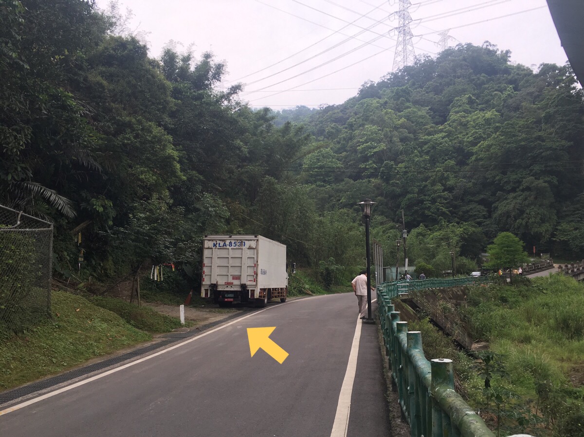
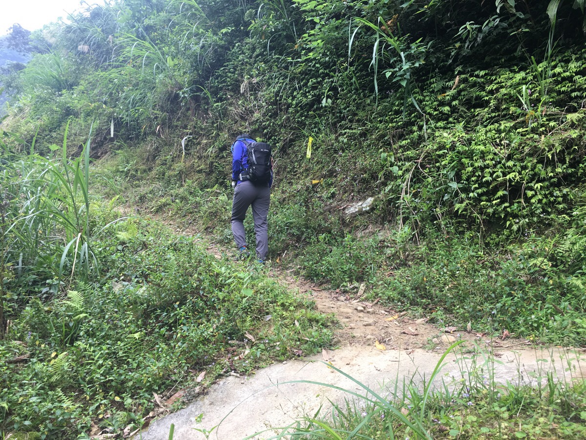
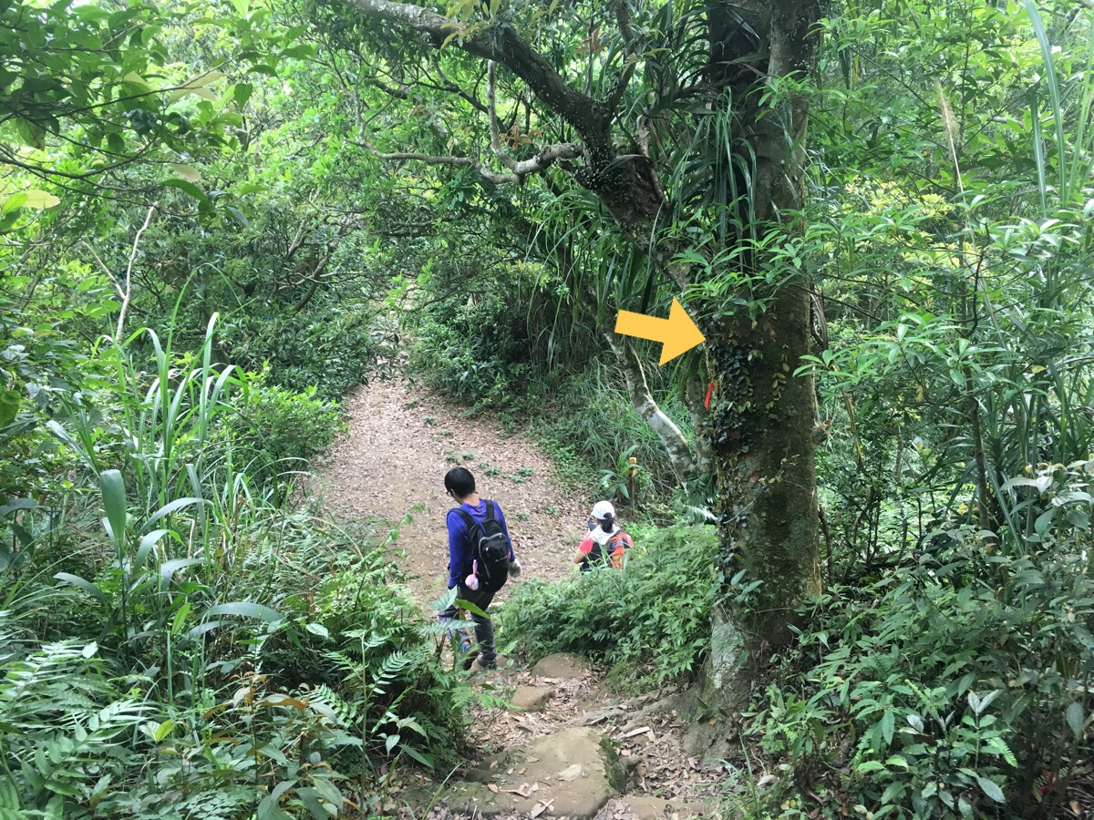
Just beyond where the road passes under freeway 5, a collection of hiking tags hanging from a tree indicate the start of the trail.
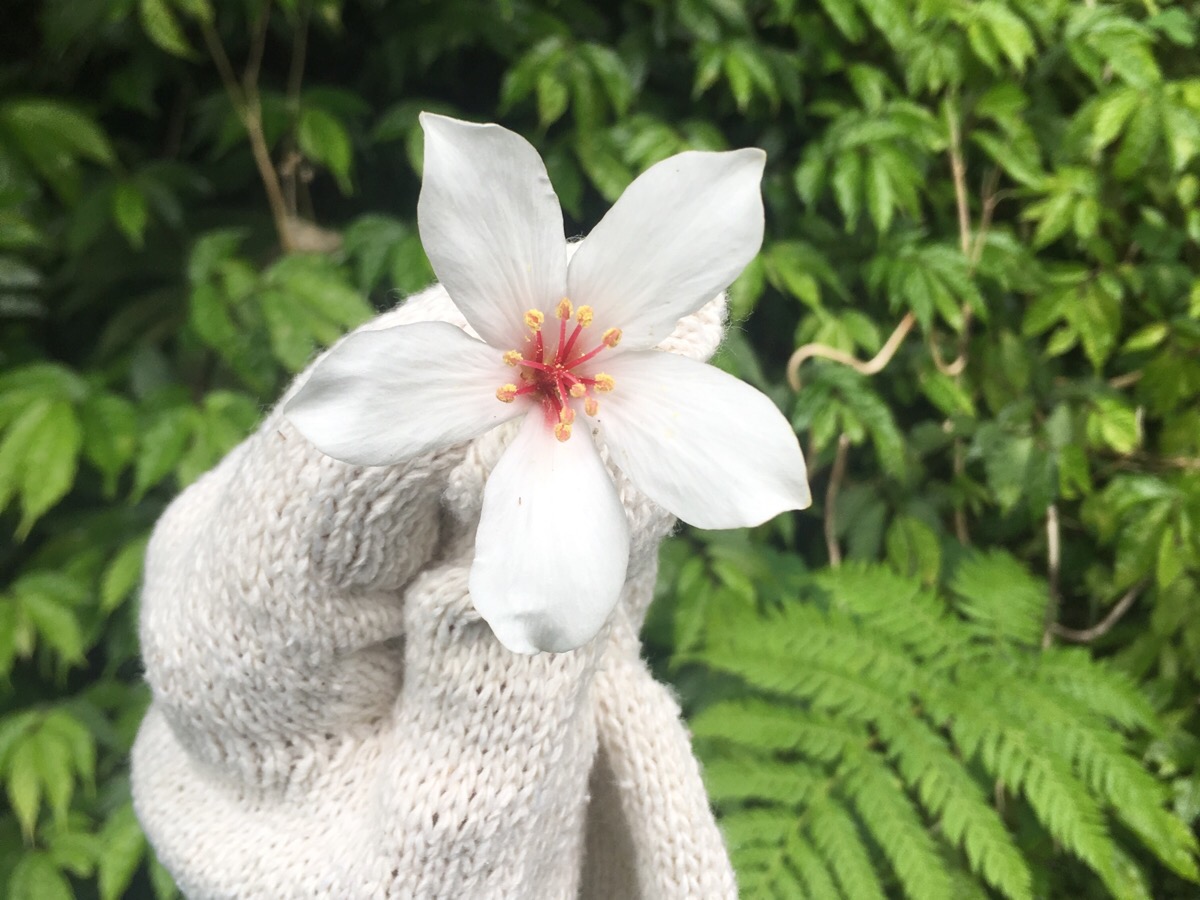
At the moment in Taiwan it is late April and so the mountainsides are strewn with the delicate white flowers of the tung oil tree. Actually, from around Chinese New Year onwards, the countryside here is beautifully decorated in a while variety of different colours. There is a whole spectrum of pinks and whites on display from the ‘April snow’ (or maybe ‘May snow’), of the tung blossom to the many pastels of cherry and peach blossom all the way to the vivid pink of bougainvillea.
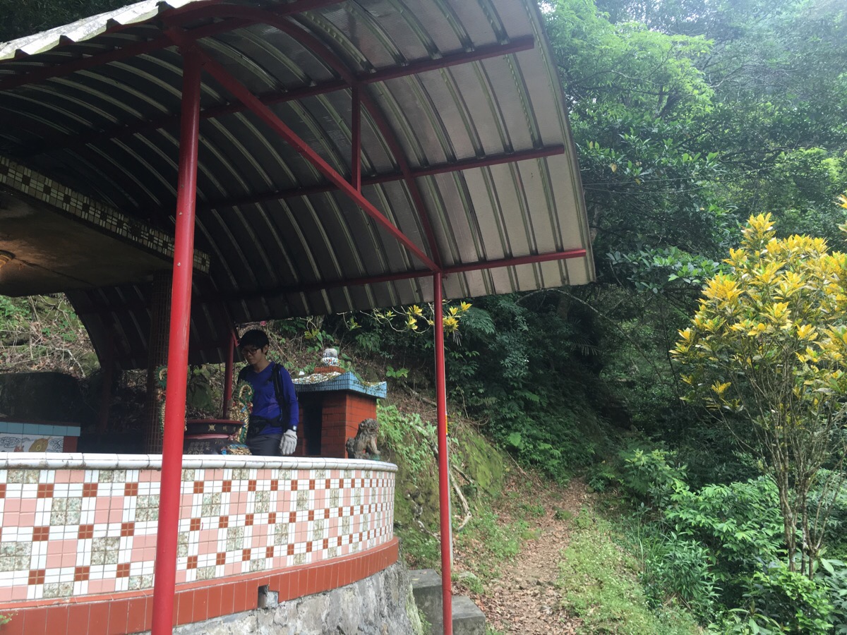
A short way up the trail there is a land god temple which Teresa went to say hello to before we continued.

Just beyond the temple, the path crosses a simple concrete bridge and then turns left.
Not far after the bridge, there is another left turn to take as the path enters farmed land.
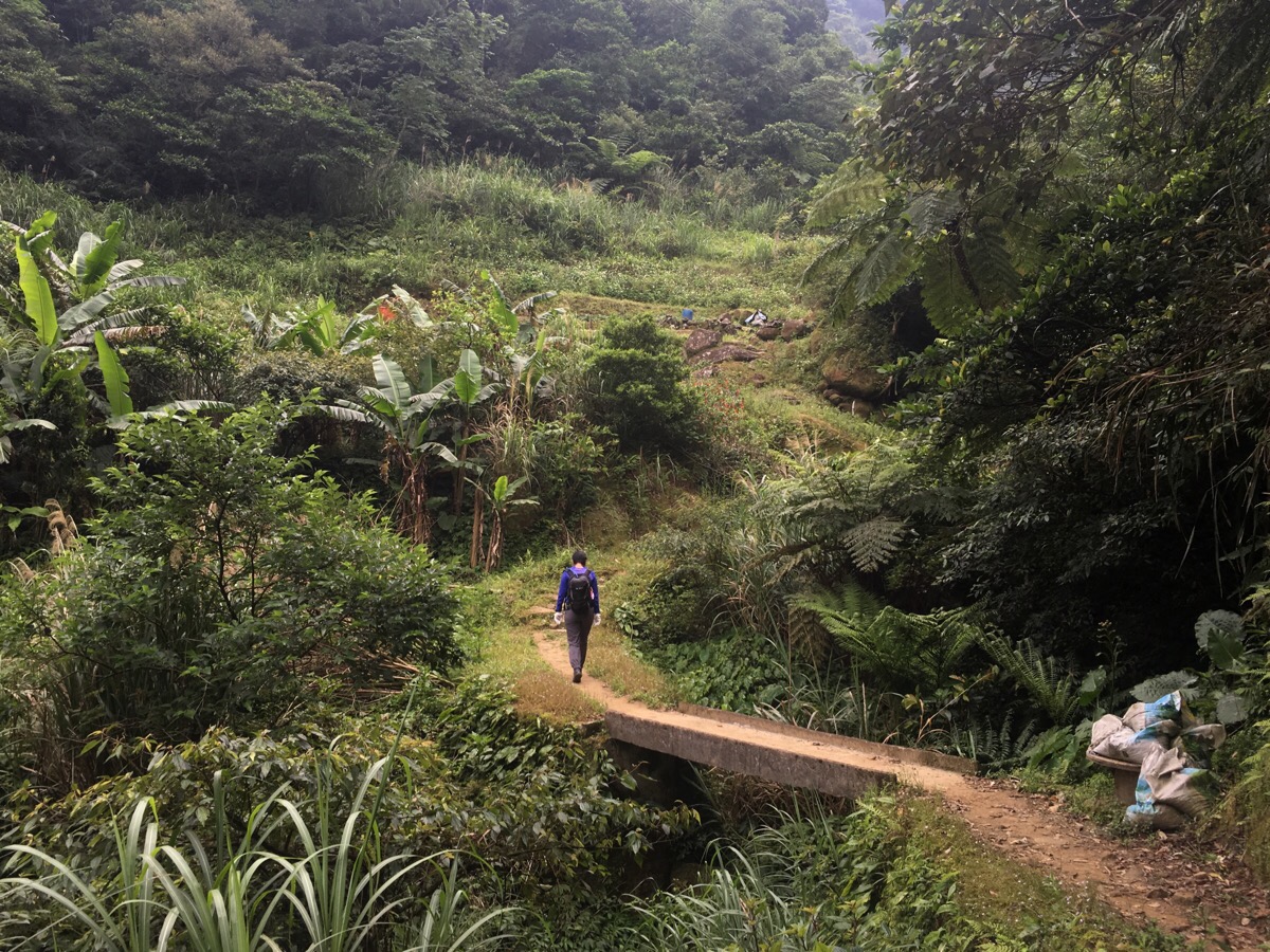
The farmed area sits in the valley which follows the cut of a stream and the path winds up through layers of bamboo and banana trees then beds containing sweet potato, tea bushes and some kind of squash.
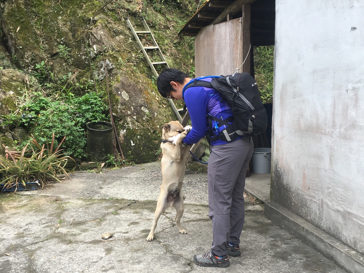
At the top of the farmland stands a traditional farmhouse, a stone sanheyuan with two outer wings flanking a central area. An old man sat out in the courtyard and enthusiastically invited us to help ourselves to tea. Teresa took this to mean that the invitation extended to petting his very affectionate 3-year-old dog.

As we drank their tea, the man told us that he is the third of five generations to live in this house. It was built by his grandparents, lived in by his parents and now him. He said that he sits out every weekend to chat to and offer tea to the hikers passing by. He was curious about what both of us did, and although his Taiwanese inflected Mandarin wasn’t that easy for me to understand, we had a little joke. When we’d finished our tea, we handed our cups back to his adult daughter who was sitting just inside the house and said our thank-you’s. We were sent on our way by him telling us that we had 50 people and a four hour walk ahead of us.
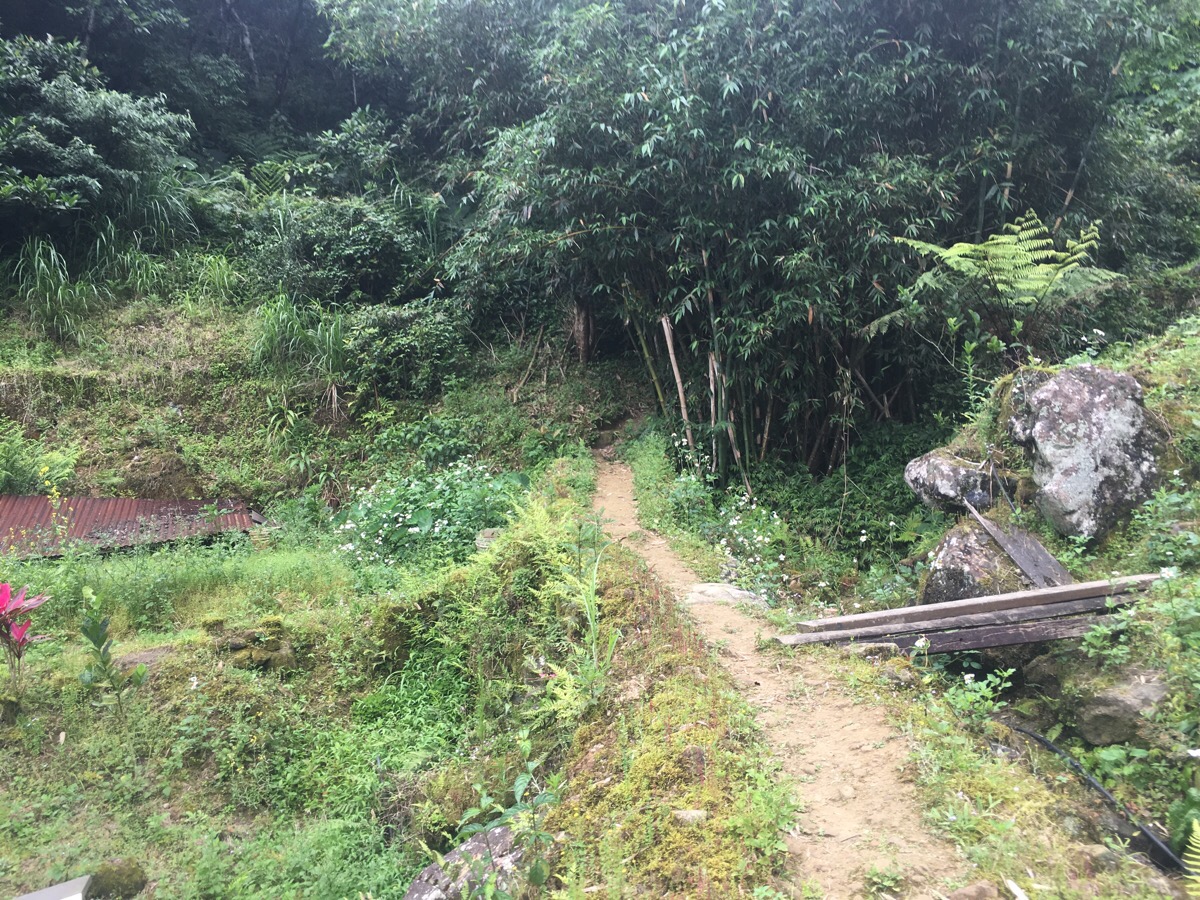
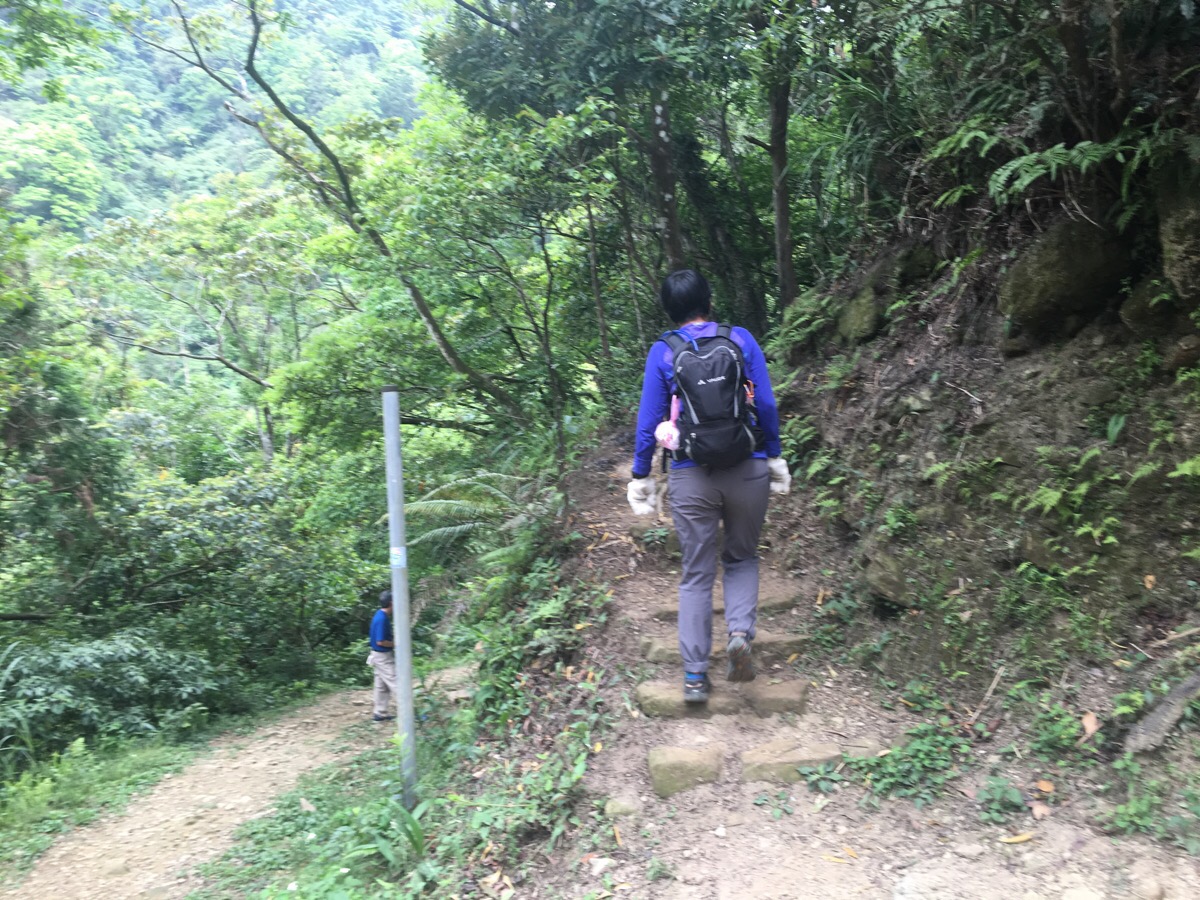
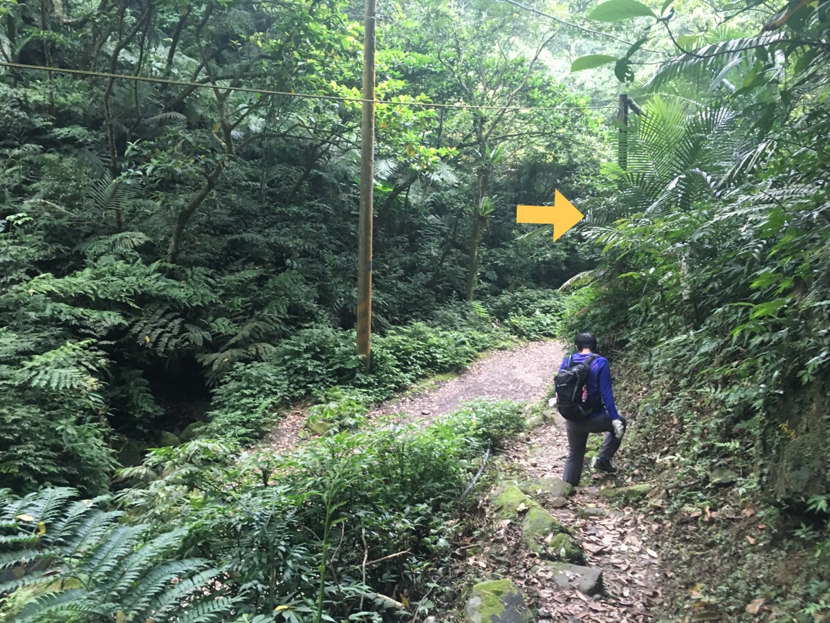
The path leads up by the back of their house and very quickly disappears into the tree-line. From here it is 20 solid minutes of up. There are a couple of steeper sections, but it’s mostly walkable rather than climbable. It was on this section that I picked up a hiking pole that had been dropped in the middle of the path – I was worried that maybe the group ahead of us had lost one. It turned out that it had been abandoned because it was faulty, so I ended up carrying it the whole way until I could find somewhere to dispose of it,

We reached the number one trail marker at the start of the ridgeline and turned right to follow it west-ish. This is one type of hiking that I really love. Mentally challenging, but not as physically strenuous as that initial 20-minute up.

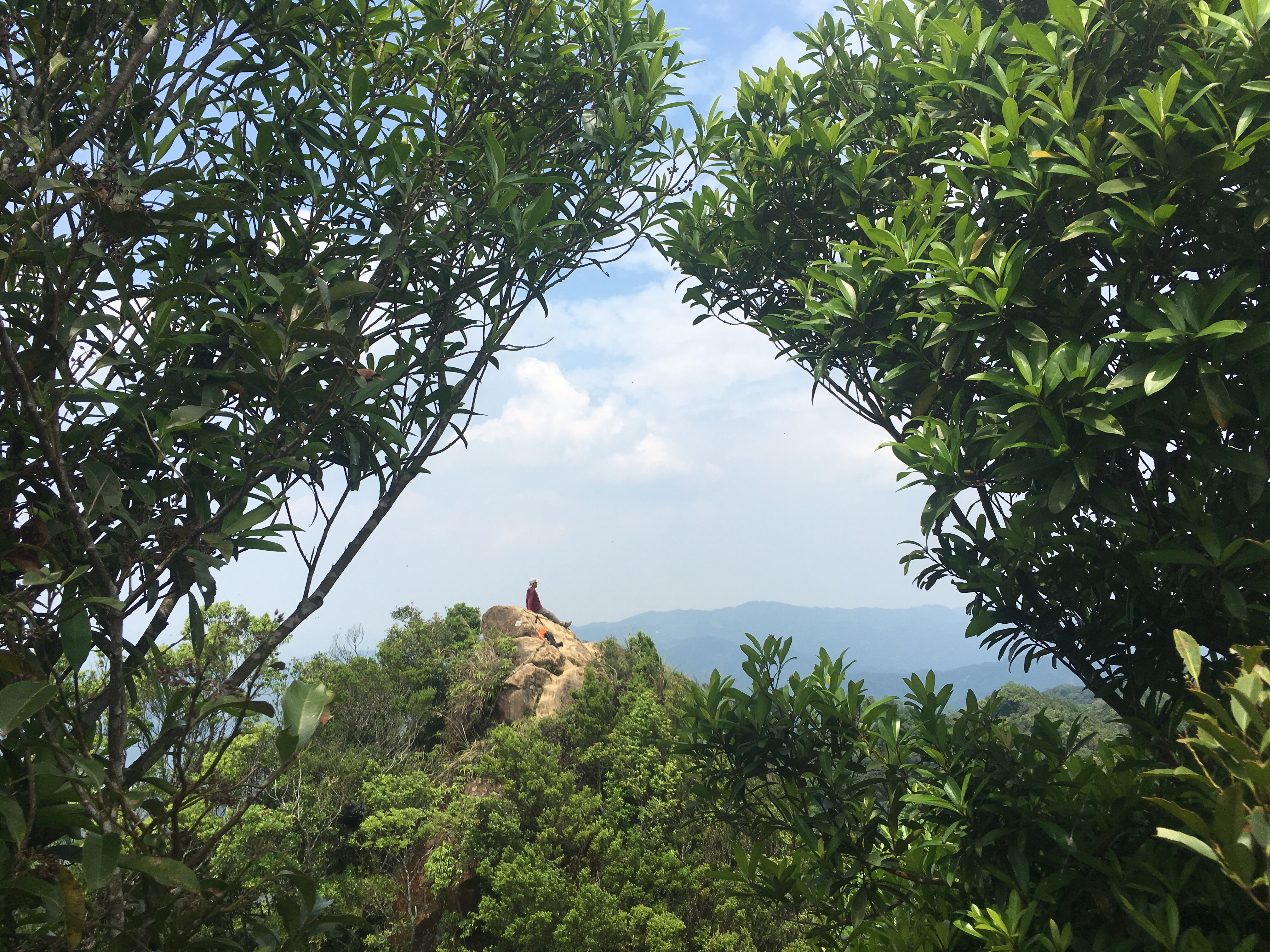
There are one or two strategically placed exposed rocks where you can scramble up for a rest whilst you admire the views. From here you can see freeway five sneaking off to disappear into the hills before it arrives at Yilan.
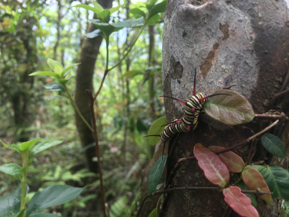
On a tree along the side of the trail we spotted this rather large and intimidatingly beautiful caterpillar. From what I can gather, it is a particularly vivid example of the Queen butterfly’s caterpillar stage. (Although I’m not fully convinced since it seems to have an extra set of protuberances.)

Route marker 2 was reached at 10:20, (an hour and a half after setting off).

Then number three was only a further ten minutes walk. Post four was twenty minutes beyond three, five was another twenty minutes after four. Five has a circle of benches arranged around a peak and was the first spot we passed that looked like it would be a good place to stop for lunch. We weren’t quite hungry enough though, so we pressed on.
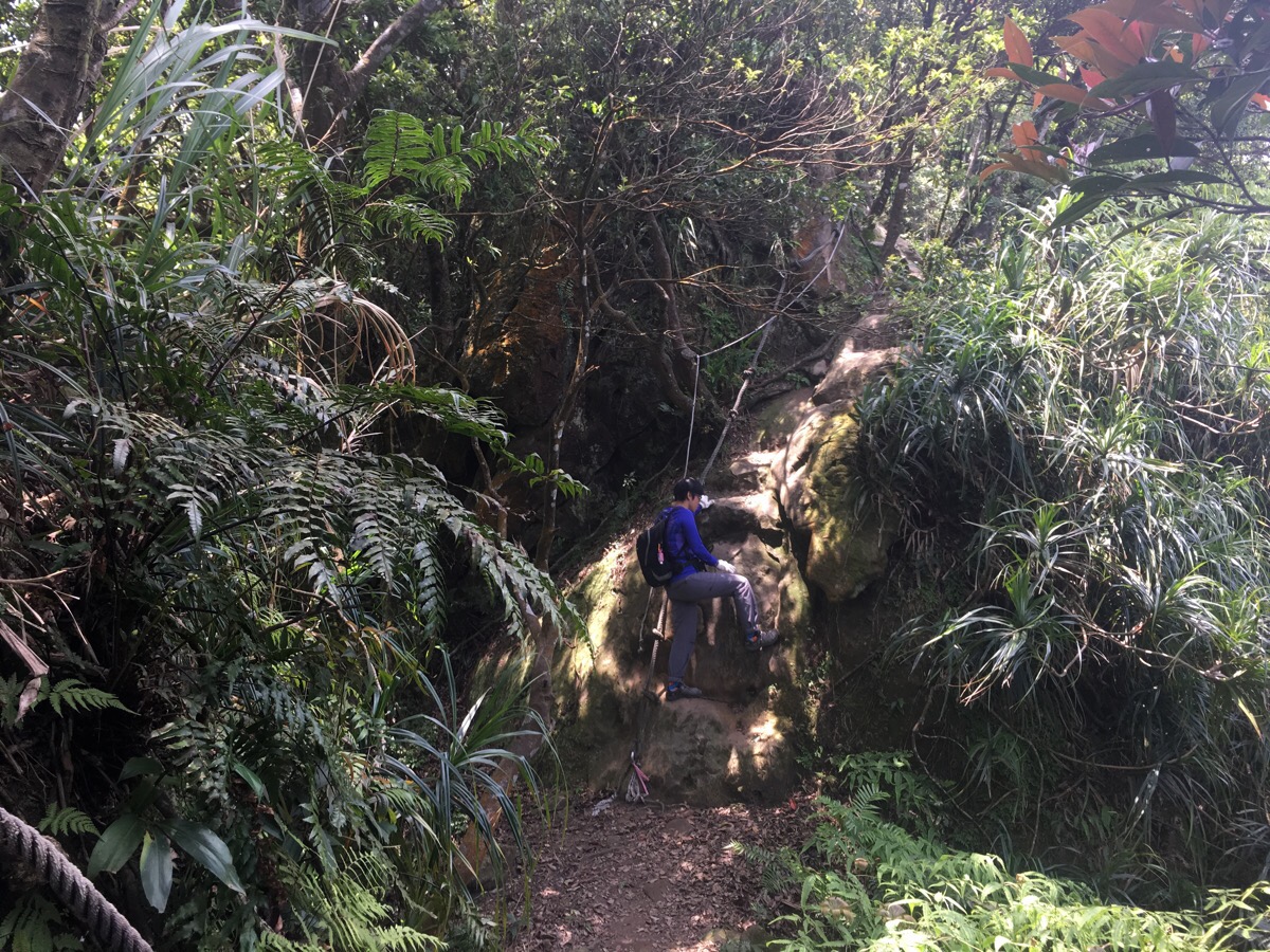
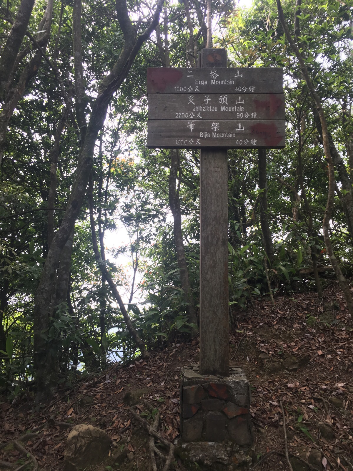
Between here and the twin peaks of bijia shan, there are a few slightly tougher sections with ropes, but nothing that difficult.

Right before reaching the small dip between the two peaks, there is a section where you need to climb sideways along a rock face – the rope wasn’t that stable here, so we took a little extra care.
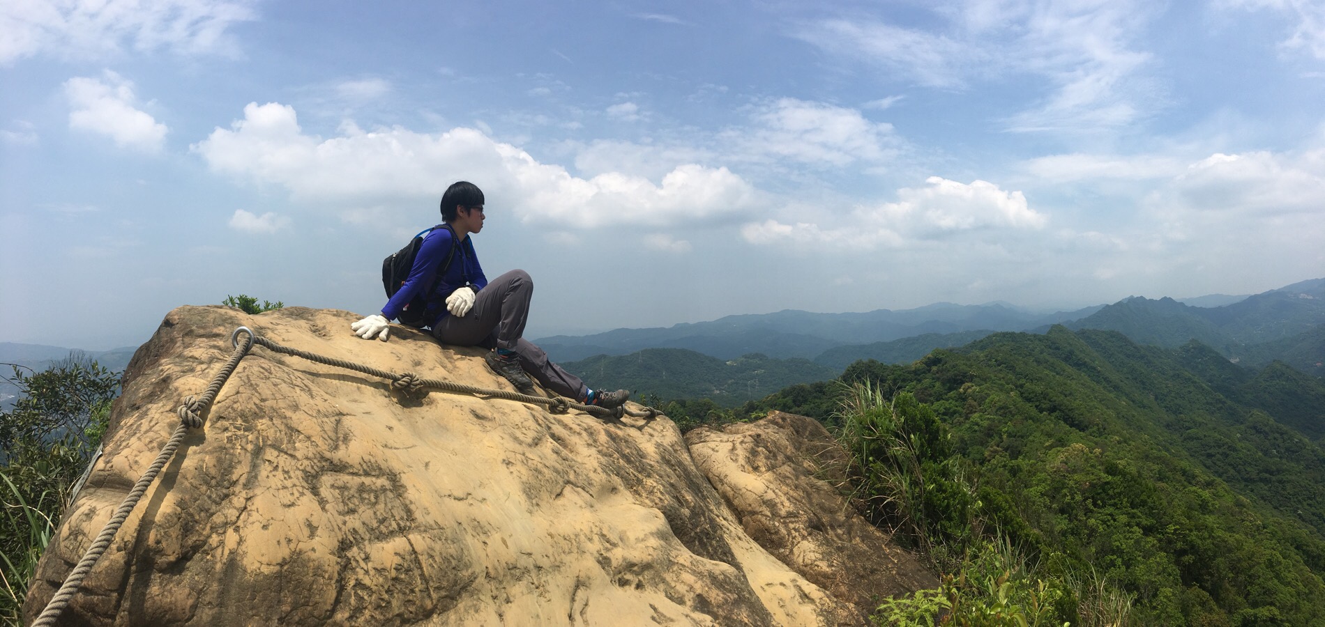
We climbed up to the first of the two peaks and enjoyed seeing the spine of the hill stretch back towards Shiding. I couldn’t stay out in the open for too long for fear of getting cooked by the sun, so we headed back down.
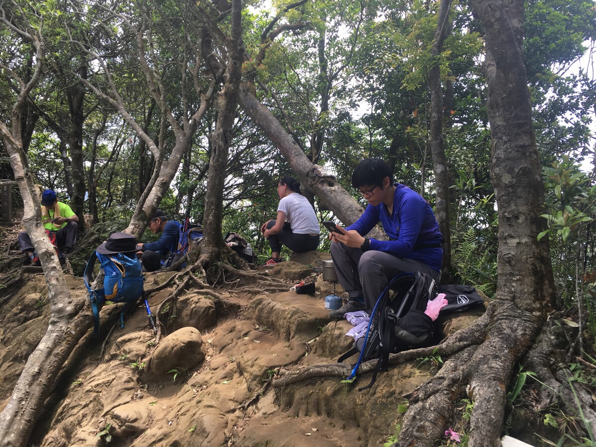
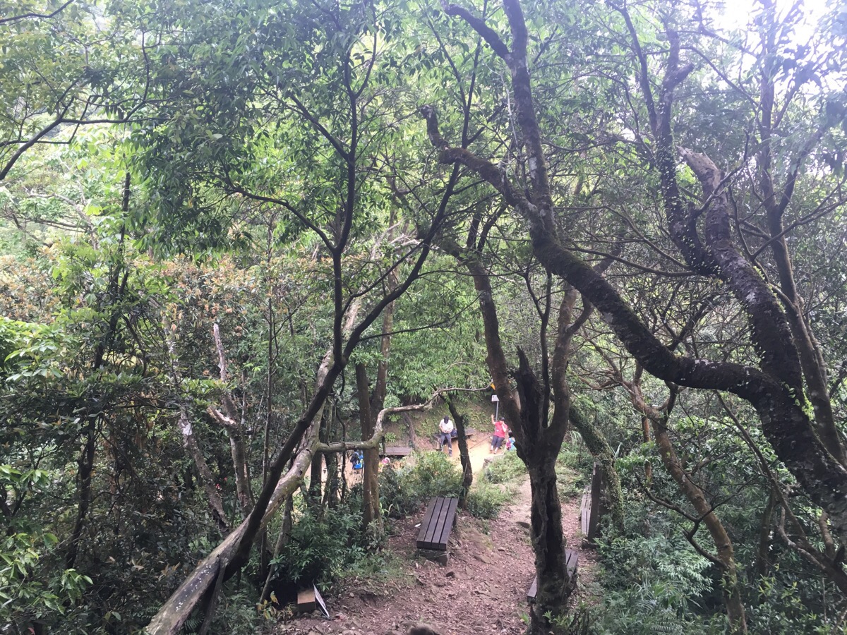
The small are between the two peaks had quite clearly been used by many walkers as a rest area, so we too stopped to make use of the shade and flat surface. Our quick lunch of noodles and vegetables made us the envy of the nearby trio of friends – we chatted with them about different trails in the Taipei area as we ate.
After packing up our lunch stuff, we made the short detour to climb the second peak. From here we watched one guy enjoying the east peak by himself and he watched us.
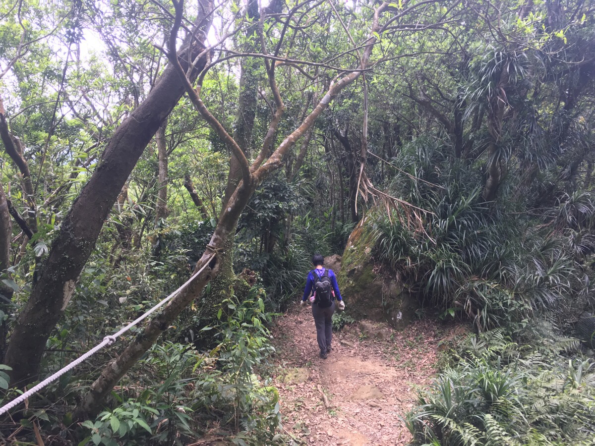
Heading on from bijia shan, the walking seemed to become easier.
The ridge line continued through dappled shade, and we were able to pick up the pace a little.
At one point, the path split into a high route and a low route. We took the high one. We also came across a large rock slab next to the trail which was positioned as if it were a throne from which the kings and queens of Taipei could survey their kingdom. We sat on it for a while to revel in the power of being in such a great vantage point. I took out the last of our guava and we ate it together. Then Teresa fell asleep. I have no idea how she manages to sleep anywhere, but it seems that she can fall asleep even on a slab of rock which overhangs a sheer drop.
As we rested on the rock, many of the people that we’d been leapfrogging with all day passed us again. After a while, this prompted us to think about making a move. We continued along the same path until we reached a small hollow where lots of people had gathered to rest. We’d passed through this place before when we’d walked erge shan.
We decided to continue along the ridge a little further rather than going down, so we left the clearing by going kind of straight over and up.

After a little more walking on a dirt track, the path became paved steps.
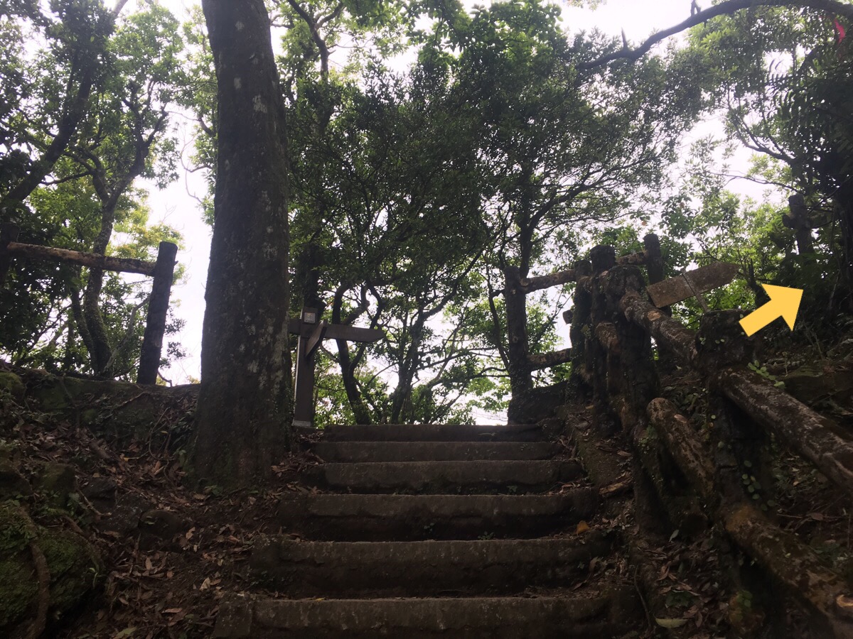
At the top of the steps, we headed right and up.
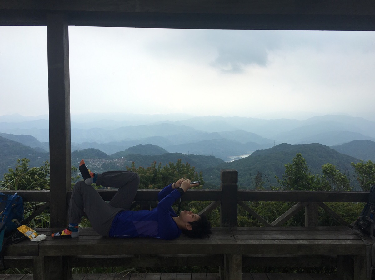
Not far beyond the top of the steps there is a pavillion built next to a minor peak trig point. Teresa and another woman seemed to think the location was comfortable enough for a quick lie down. (I on the other hand, got harassed by swarms of mosquitoes whenever I stood still.)
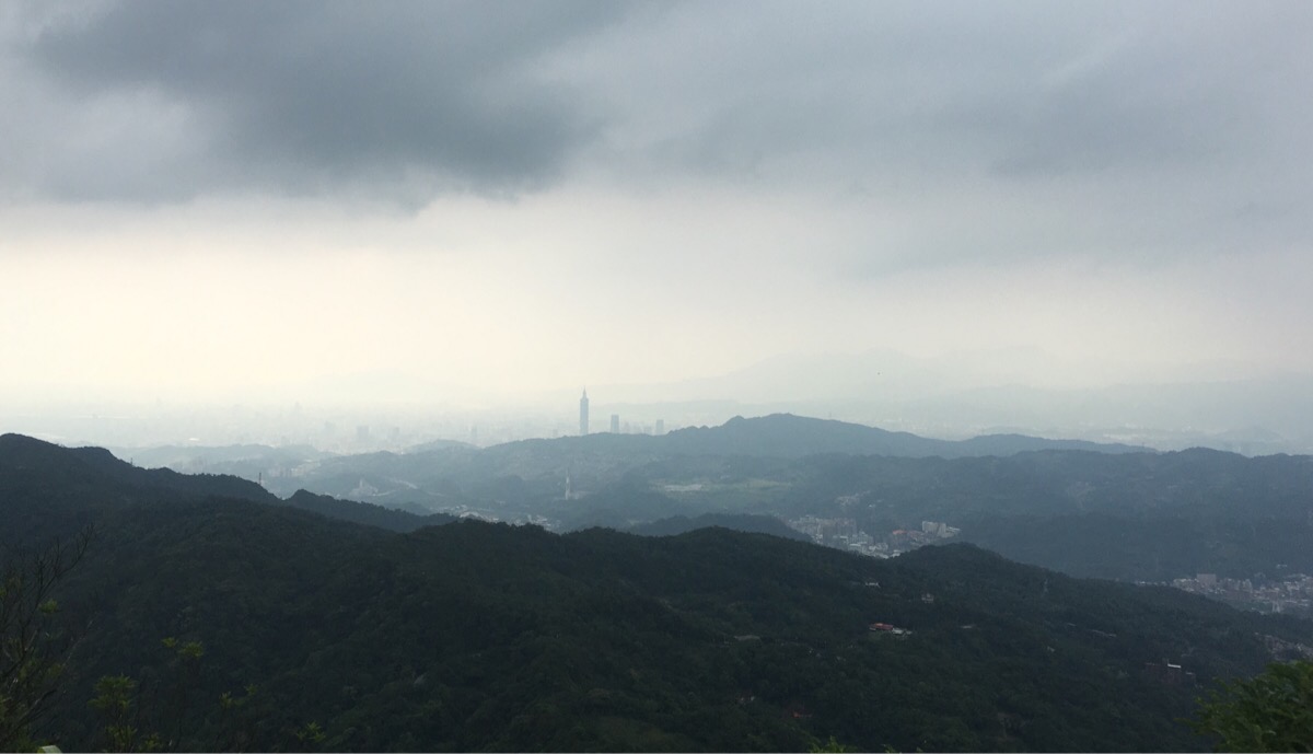
The view from here is great on both sides, you can look north towards the city, or south towards reservoirs and mountains.
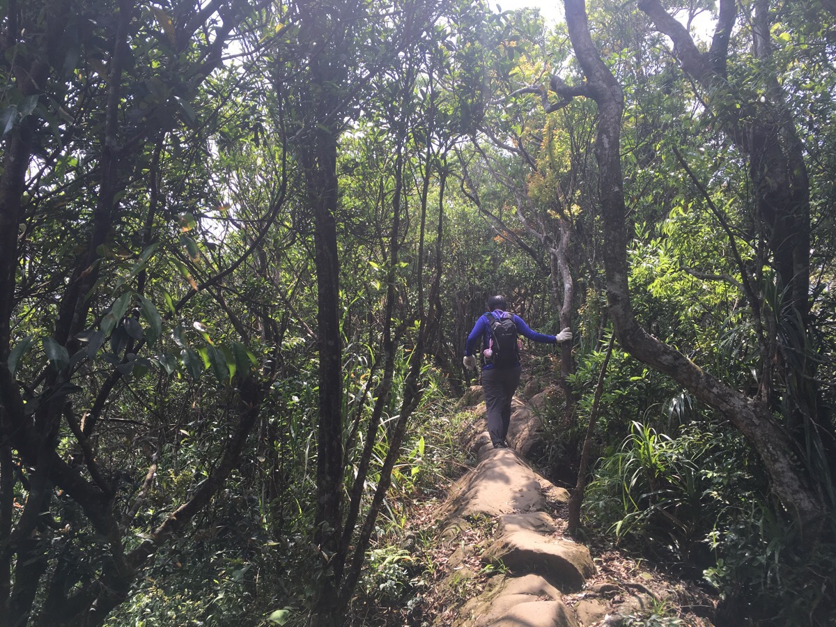
We continued on beyond the rest stop and I enjoyed the slightly flatter walking surface for a while.
We were originally aiming to continue a little further along the ridge, but by the time we reached the first turning down to the left, we decided to call it a day. There were a few indications that the weather was turning not so great; splashes of rain landed on my face and grumbles of thunder could be heard off in the distance. We didn’t fancy being caught up on a ridge in a thunderstorm (again), so we took that first exit.

This was actually the route we’d climbed up when we did a previous walk in the area, and as I’d remembered, the bamboo grove and the huge birds nest ferns were magestic.
We met an SUV making its way down the tiny road when we arrived at it, so we waited for it to pass before following the river down ourselves.
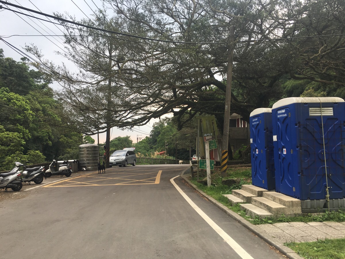
At the portaloos and giant banyan tree, I was finally able to leave the hiking pole that I’d picked up at the start of the hike. We turned left down the road, past the temple and continued walking down until we met a junction with a toilet block and a bus stop. The bus came just as soon as we arrived, we spent the journey sandwiched tight and wobbling into other people as our driver took the bends at great speed.
How to get to Bijia Shan Ridge Trail
Google Maps address: 223, New Taipei City, Shiding District – this is where the bus will drop you off. I definitely wouldn’t recommend driving here by yourself unless you have an A-B car setup.
GPS location: N24 59.488 E121 39.250
Public transport: the 666 bus goes all the way from Muzha station to Shiding. However, it gets extremely crowded on weekends and holiday, so if you want a seat, you might prefer to board somewhere before Muzha.
Further reading: this post from the Hiking in Taiwan website details the walk going in the opposite direction. And this post covers the walk in Chinese – the pictures in this one do a better job at showing what the tougher sections of the walk are actually like, somehow my seem to make it look easier than it is.
Nearby trails:
- Huangdidian
- Tamsui-Kavalan Trails – Shenkeng to Wutuku
- Taipei Skyline Trail – Section 1B
- Taipei Skyline Trail – Section 2A
Bijia Shan Ridge Trail Map
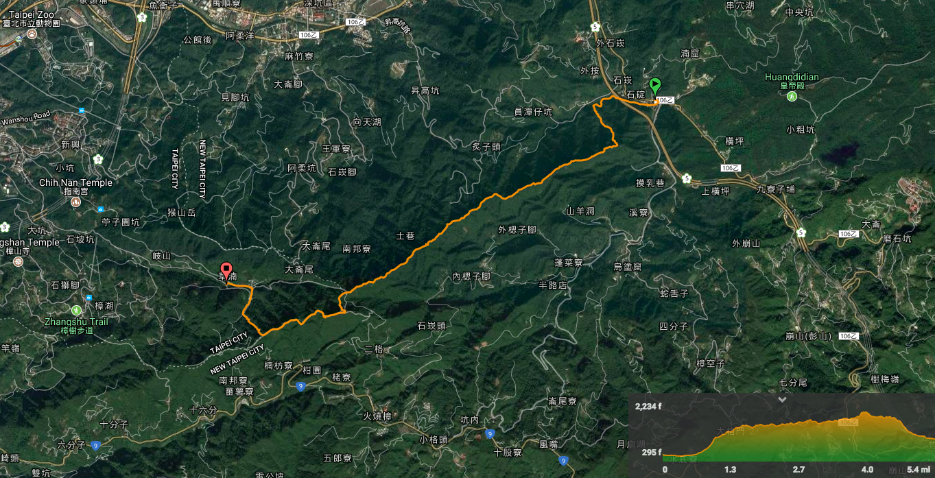
GPX file available here on Outdoor Active. (Account needed, but the free one works just fine.)
My new words learnt on this hike:
- 你有事嗎? / nǐ yǒu shì ma?/ what are you doing, or what’s your problem – this ought to be deployed with a kind of eye roll or some attitude to get the meaning correct.
- 我搞不懂 / wǒ gǎo bù dǒng / I don’t understand, or I don’t get it – this isn’t the same as 我聽不懂 /I don’t understand what you’re saying, it expresses that you don’t get the concept.
- 被壓扁 / bèi yā biǎn / be squashed flat
- 通通 (都有/挫賽/吃完了) / tōngtōng (doū yǒu/cuà sài le/chī wán le) / all (have/gone to shit/eaten)

I recognize those buildings with the river running underneath them. I love this place! The town is so cool with the buildings and the river. Such interesting architecture.
LikeLiked by 1 person
I didn’t spend much time here to be honest, it was just the starting point, however I do quite like all the little towns and villages that cluster around rivers here. They have a slightly old feeling.
LikeLike