*****************************************
WARNING: AS OF FEBRUARY 2019, MOST SECTIONS OF THE NANGANG ROPE TRAILS HAVE BEEN REMOVED DUE TO A NUMBER OF SERIOUS ACCIDENTS IN THE AREA. WITHOUT THE ROPES, THESE ARE TOO DANGEROUS TO ATTEMPT.
*****************************************
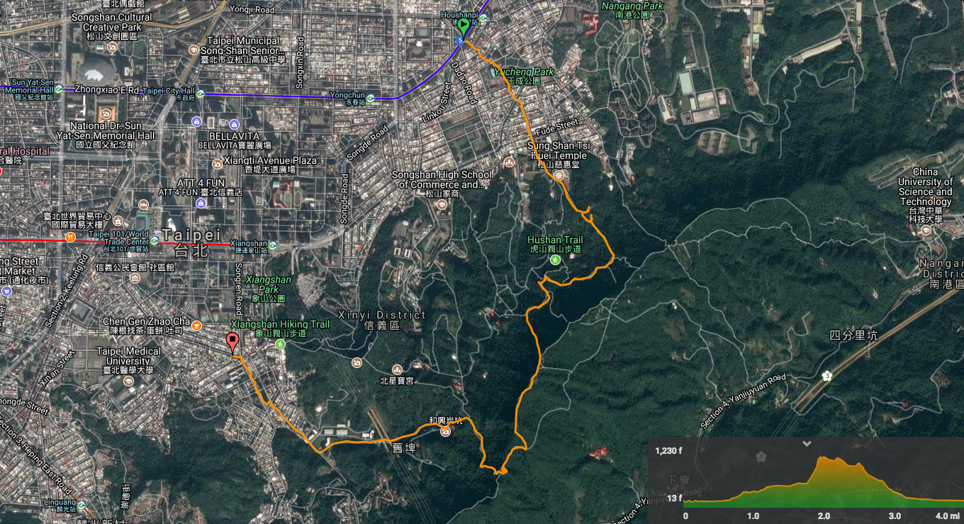
Distance: 6.5km
Time: 3¼ hours
Difficulty: 7/10 – actually almost the whole walk is closer to 2/10, but the one, short 15 minute section just before joining the Nangang trail is where the high difficulty rating comes from. It wasn’t even so much that it was technically too difficult, there were only a few places where I had to stop and work out how to make my next move. However, it is a long, nearly vertical section with absolutely no room for mistakes. If you slip, you’re falling all the way down.
Total ascent: 484m to a maximum elavation of 347m.
Water: 1L – I drank a little under 1L on a cool spring day.
Shade: patchy – I had sun cream on, but I didn’t need to get out the umbrella.
Mobile network: pretty good throughout.
Enjoyment: The adrenalin thrill of doing a tricky section like this is a big draw for me. And although I’ve explored this little patch of hills several times, it’s great to cover new ground as well as revisit some of the places that I enjoyed visiting before.
Other: take gloves for the roped section – I did it without but I wouldn’t recommend that. I would strongly suggest that you don’t do this one alone if you’re planning to do the tough route. It would not be a good idea to try this in rainy conditions or just after heavy rain – the drier the better.
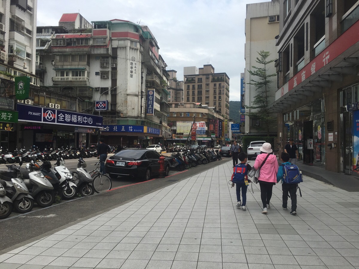
Leaving Houshanpi station from exit 2, double back the opposite direction of the escalator then turn right down Zhongpo South Road. I got some snacks from a convenience store here before starting.
At the park I crossed the road and took Lane 98, Zhongpo South Road.
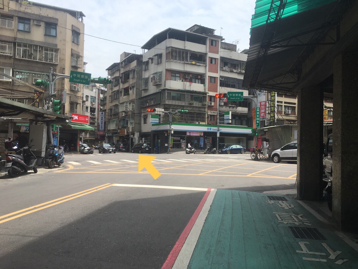
Then a kind of squiggly straight over at the next junction.
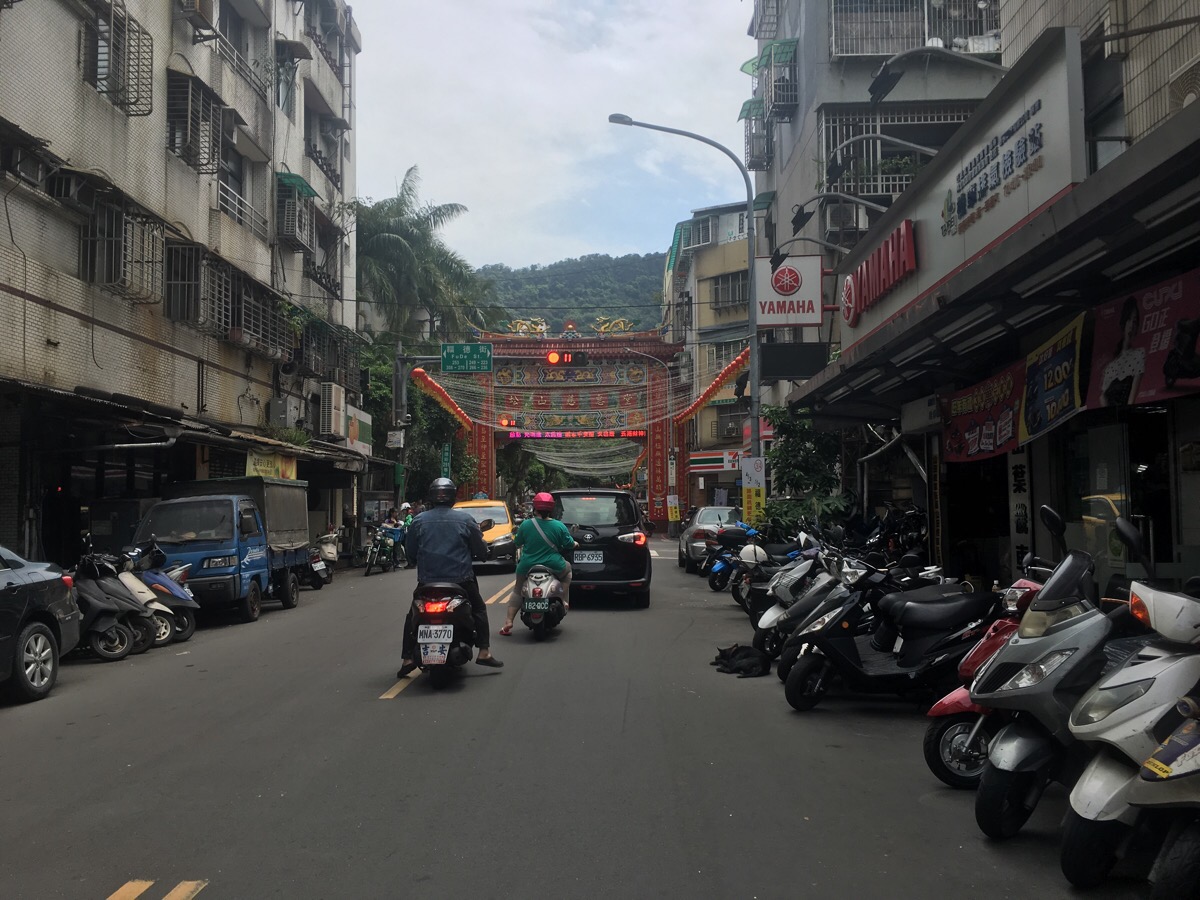
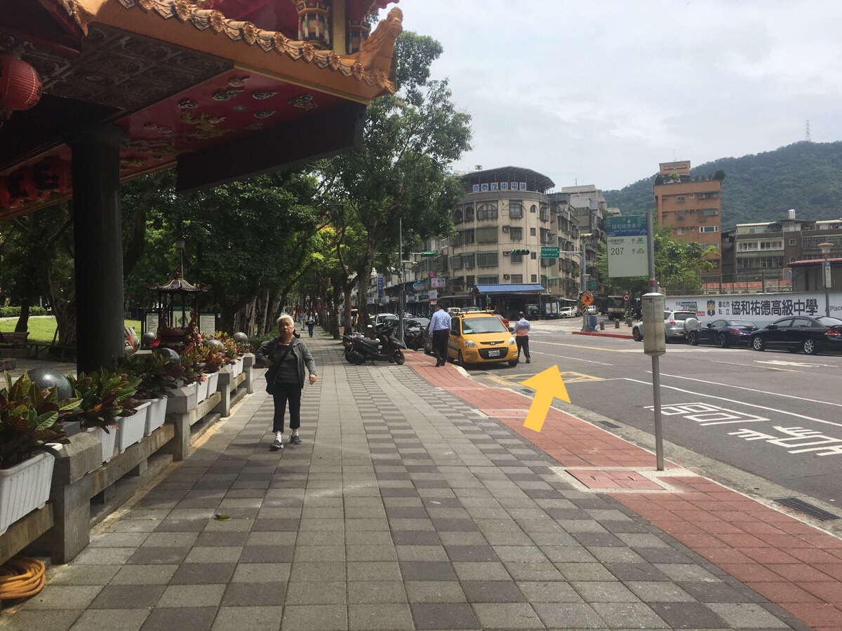
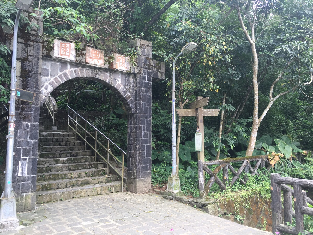
Head straight under the paifang towards Sun Sang Tsi Huei Temple and the hills beyond.
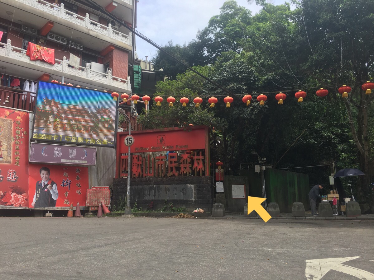
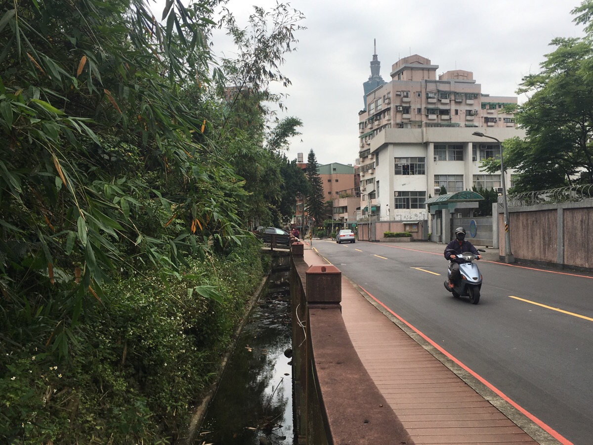
Where the road curves back around to the left, two paths lead off the elbow of the road. I took the steeper path which heads up the steps, the less steep one runs along a stream and looks pretty pleasant. The path is pretty much just steps, although not quite as steep as the ones found over at the popular elephant mountain trail. I also passed what looked to be a thriving mountain-side massage booth which had custom despite it being a Wednesday morning.
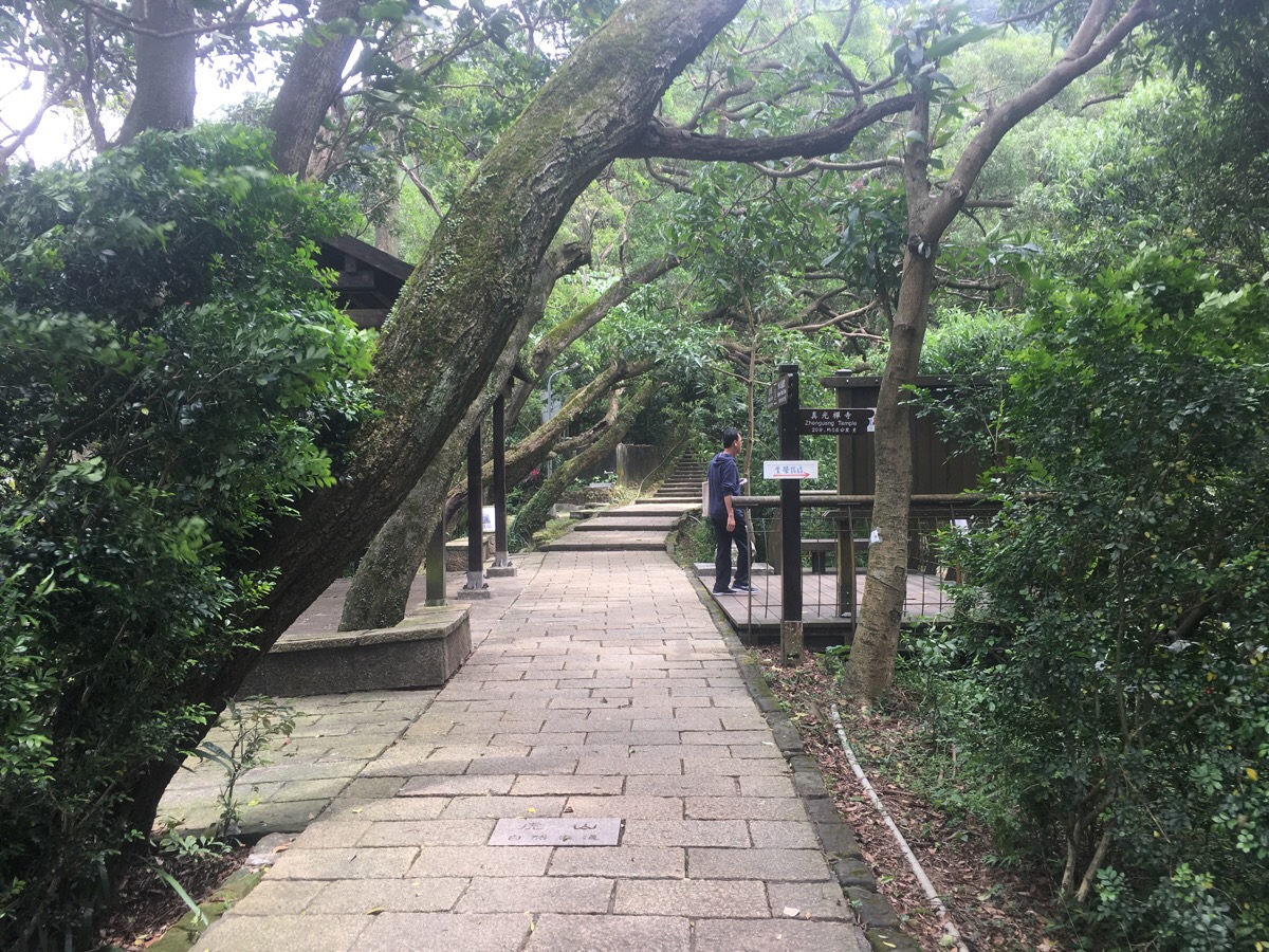
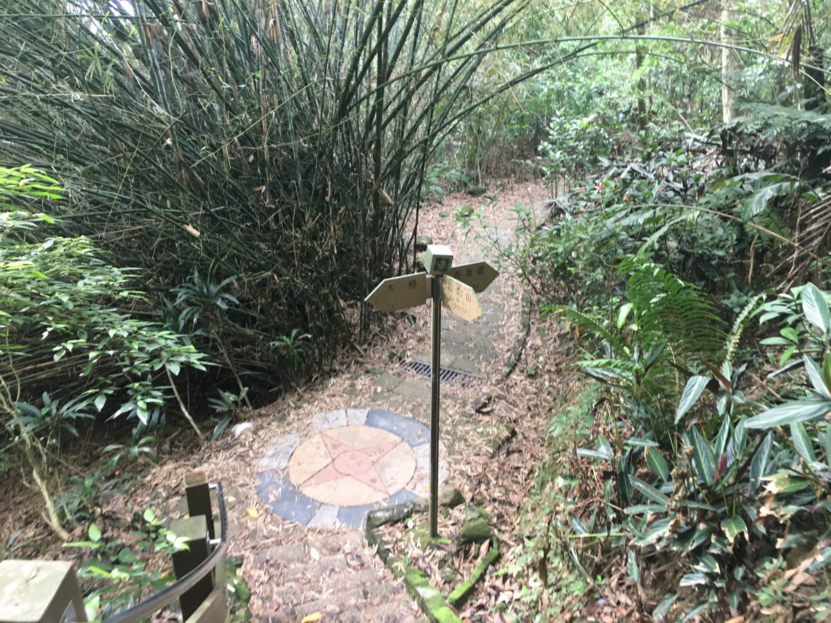
Since I wasn’t in any hurry I took my time to explore a couple of interesting-looking offshoots along the path before continuing on my climb up. At this first large junction I went straight on, but a sign about here noted that from mid April to early May, the little path to the right is a prime firefly spotting location in the evening.
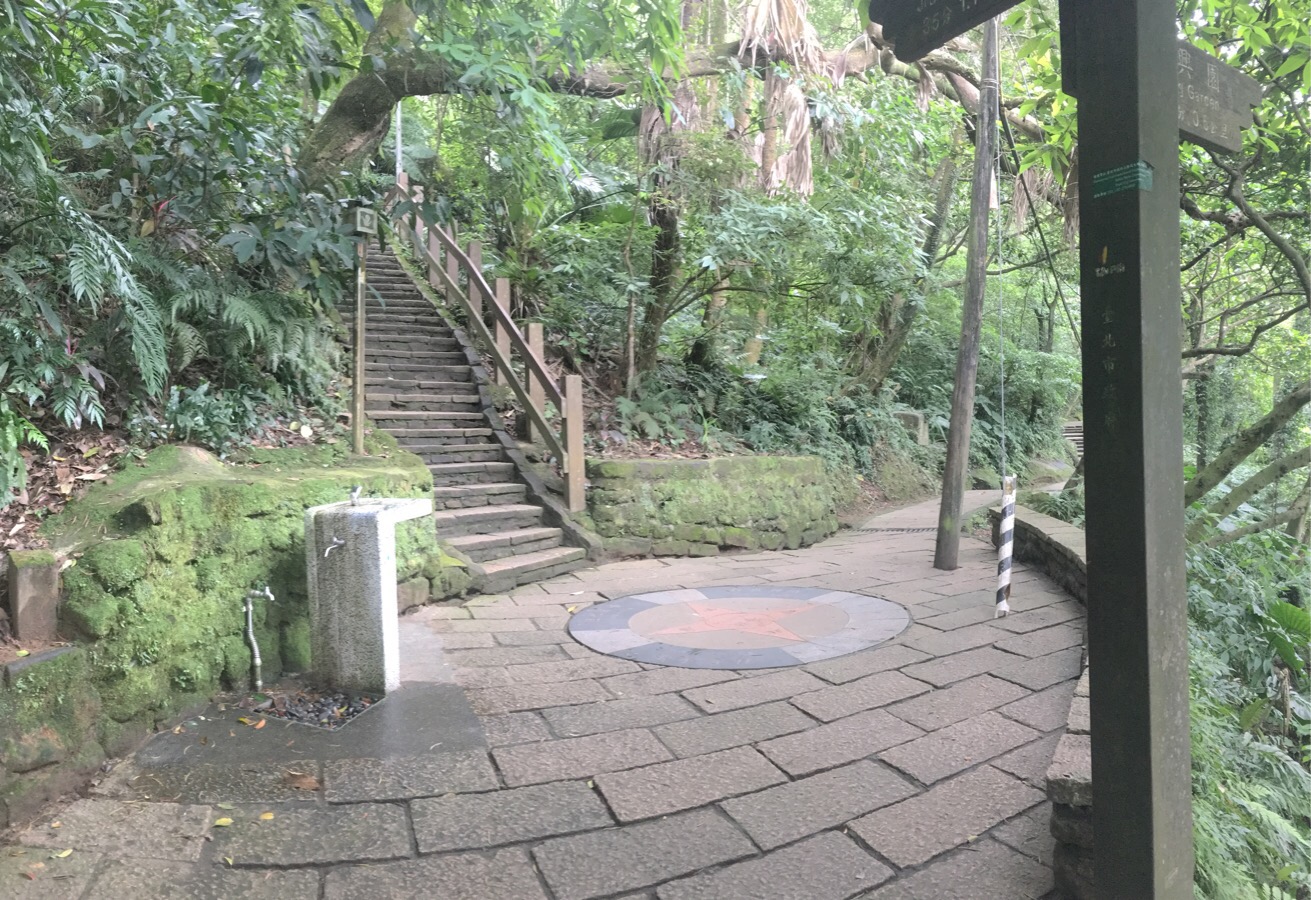
At the next junction, I decided to take the path on the right since it was a route I’d not taken before and my plan for the day was just to explore. (Heading straight up at this point would have taken me to the Nangang trail.)
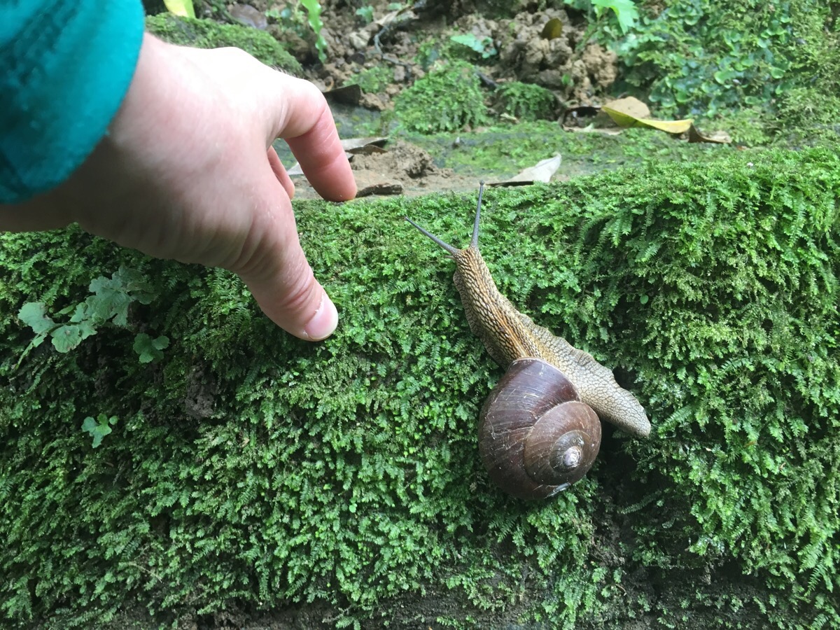
Not long after turning, I encountered this giant and rather charming creature. The angle makes it look smaller than it was, but the shell was almost as big as my whole thumb.
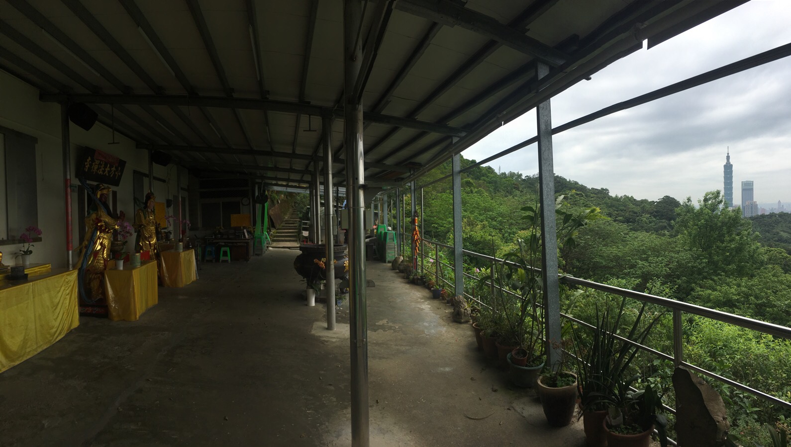
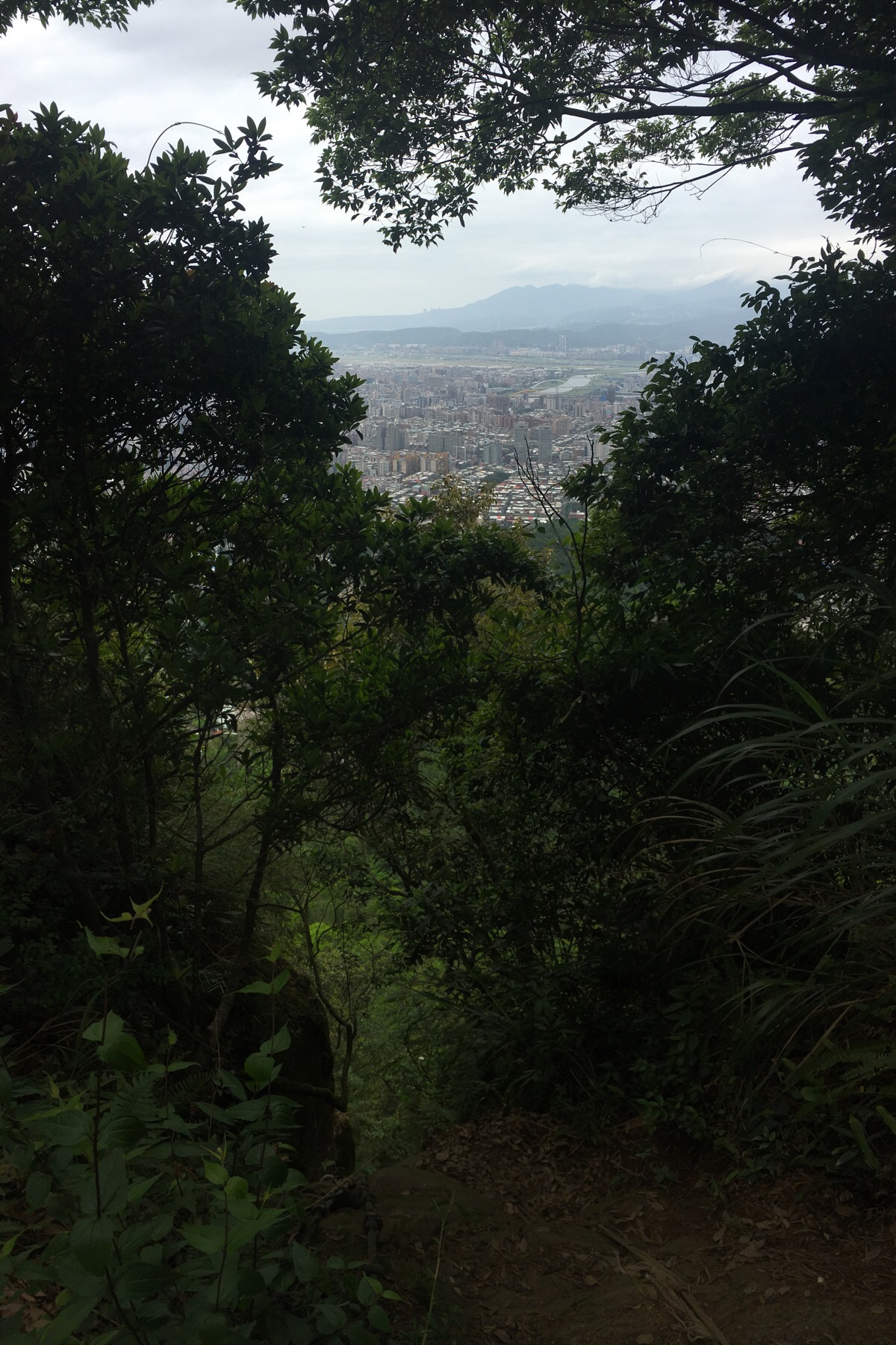
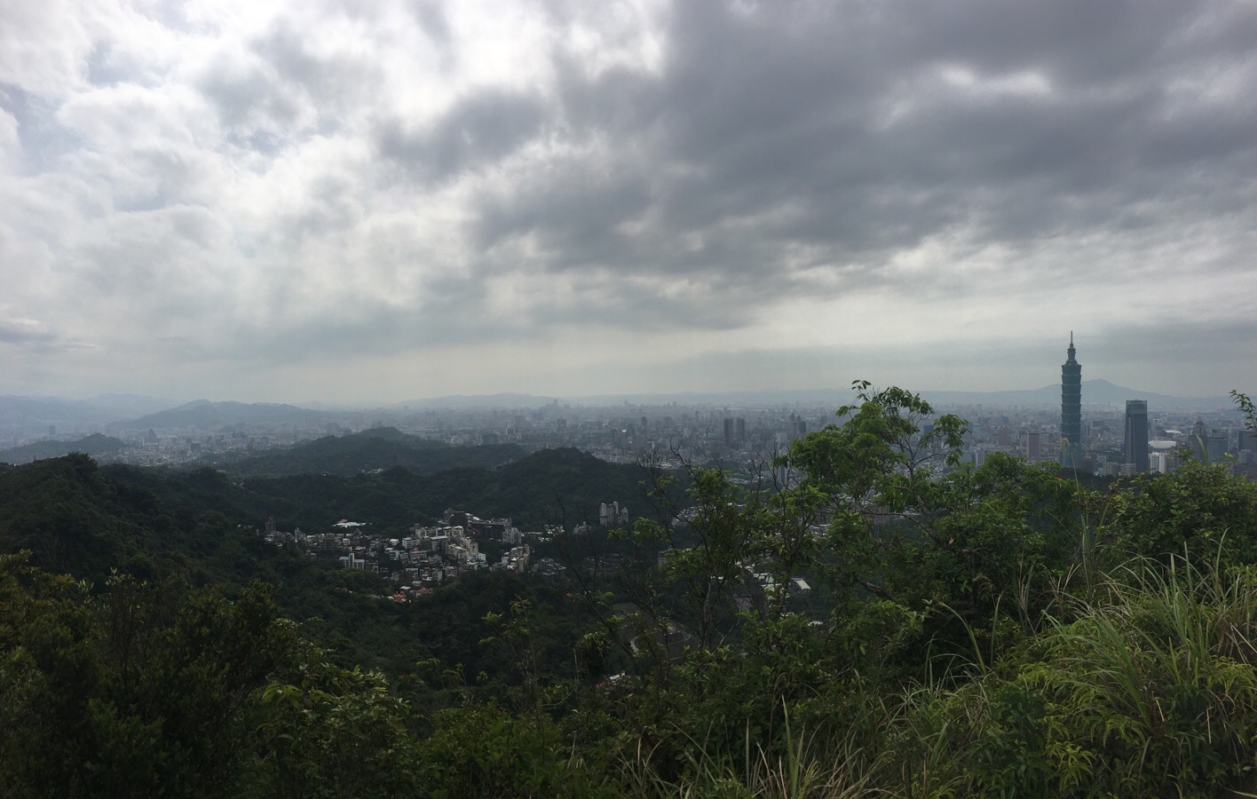
This route runs below and parallel to the Nangang trail so you get similar views, just from a lower vantage point. There are one or two small temples and dwellings along the way. This one had large vats of tea for visitors but I didn’t try any since I’d brought plenty of water with me.
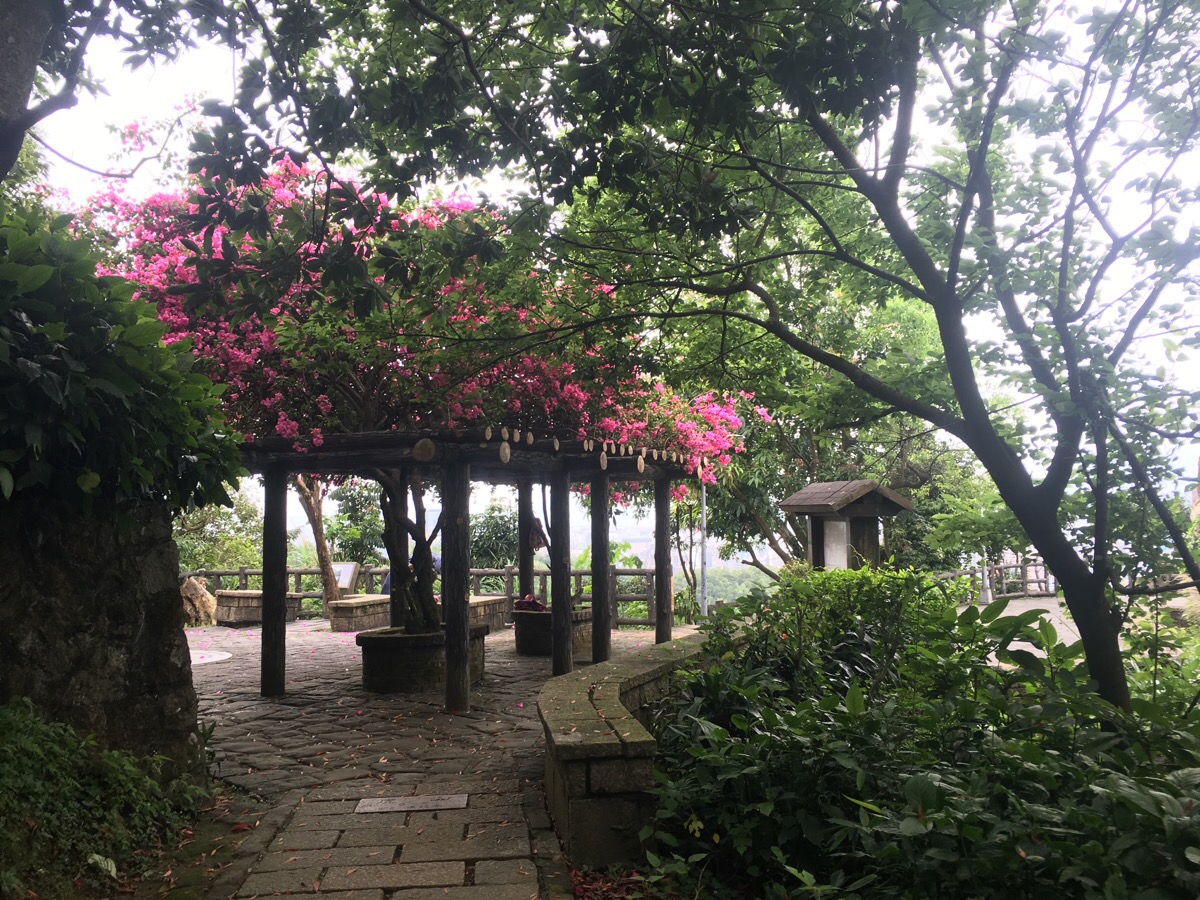
I passed what I thought was probably a small house with three dogs standing guard (lounging in the sun) outside, a guy walking in the opposite direction to me passed the same dogs seconds later and apparently he was not up to their standards since they woke up to bark at him. The path then emerged at a pavillion which had been magnificently draped in bougainvillea – there are views over the city from here but they’re not as pretty as further up.
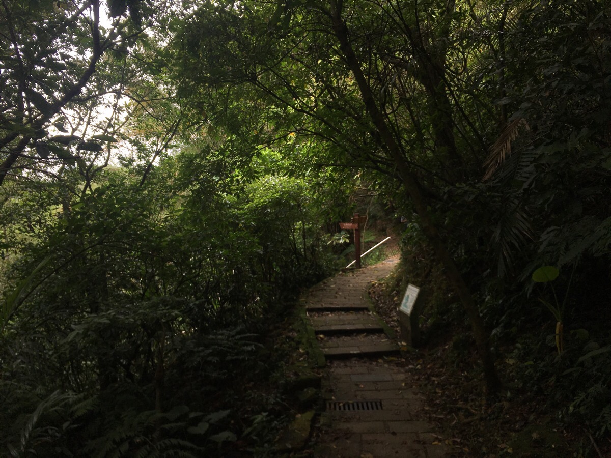
From the pavillion, I climbed up through what looks very much like the entrance to a railway tunnel. There’s another shelter here, but I took the path which leads to the right.
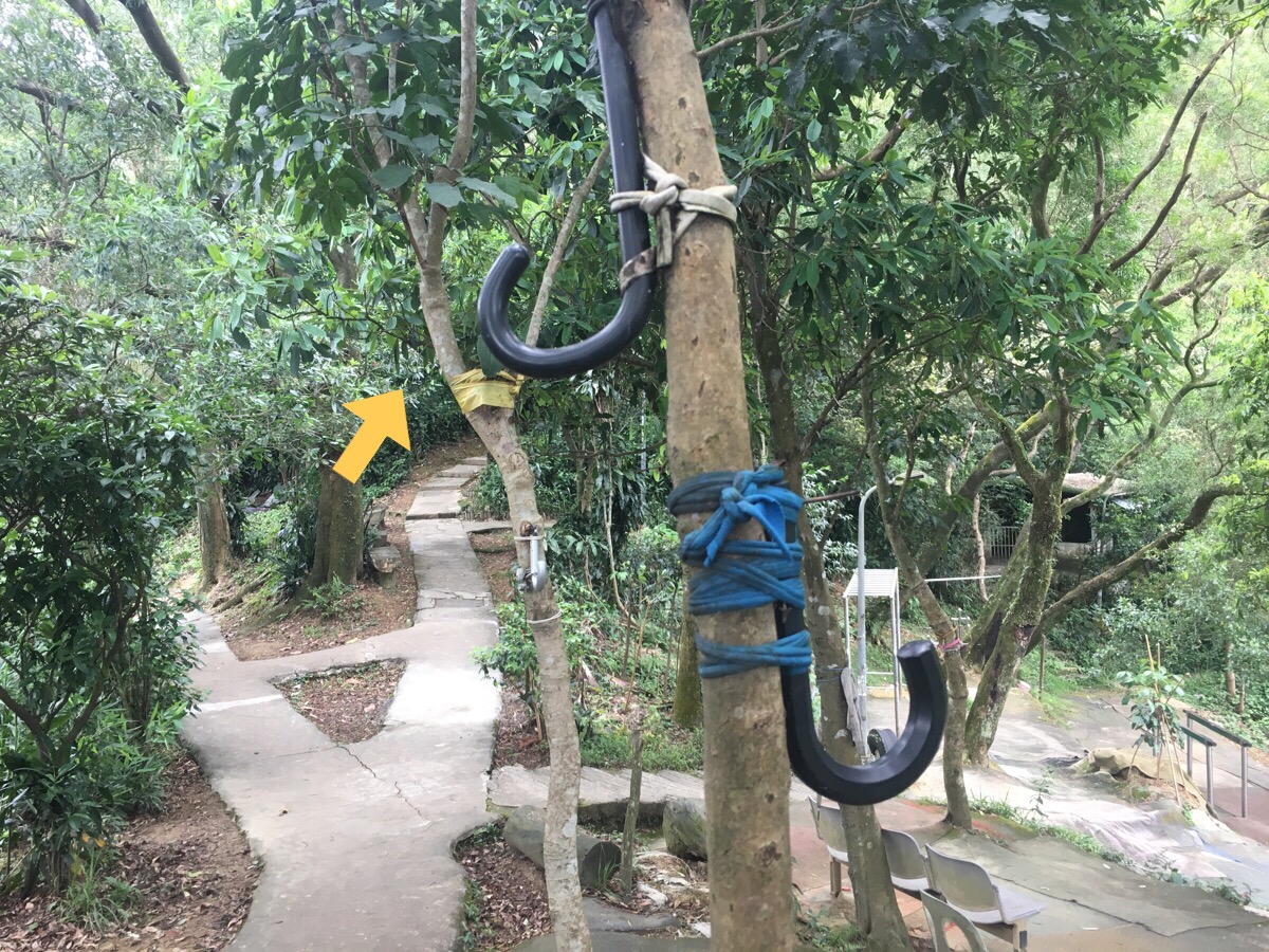
After a short distance, the path reaches another exercise area and does an almost 180° turn. The trees here are almost all bedecked with the handles of defunct umbrellas – I can just imagine what it’s like in the early morning when all the handles are being used to hold the jackets and bags of Taipei’s athletic geriatrics.
Continuing up, there’s yet another well-established exercise area – this one had a couple of people using the equipment.
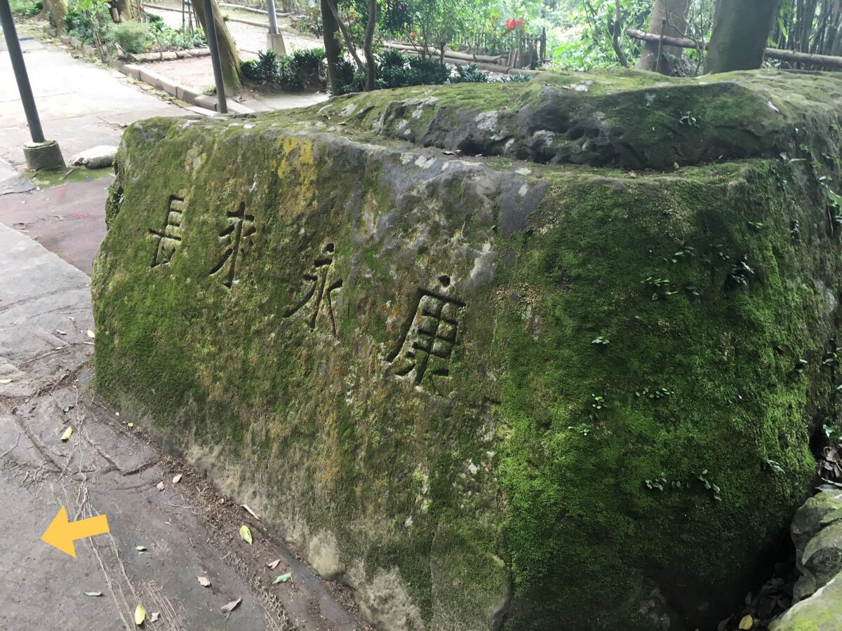
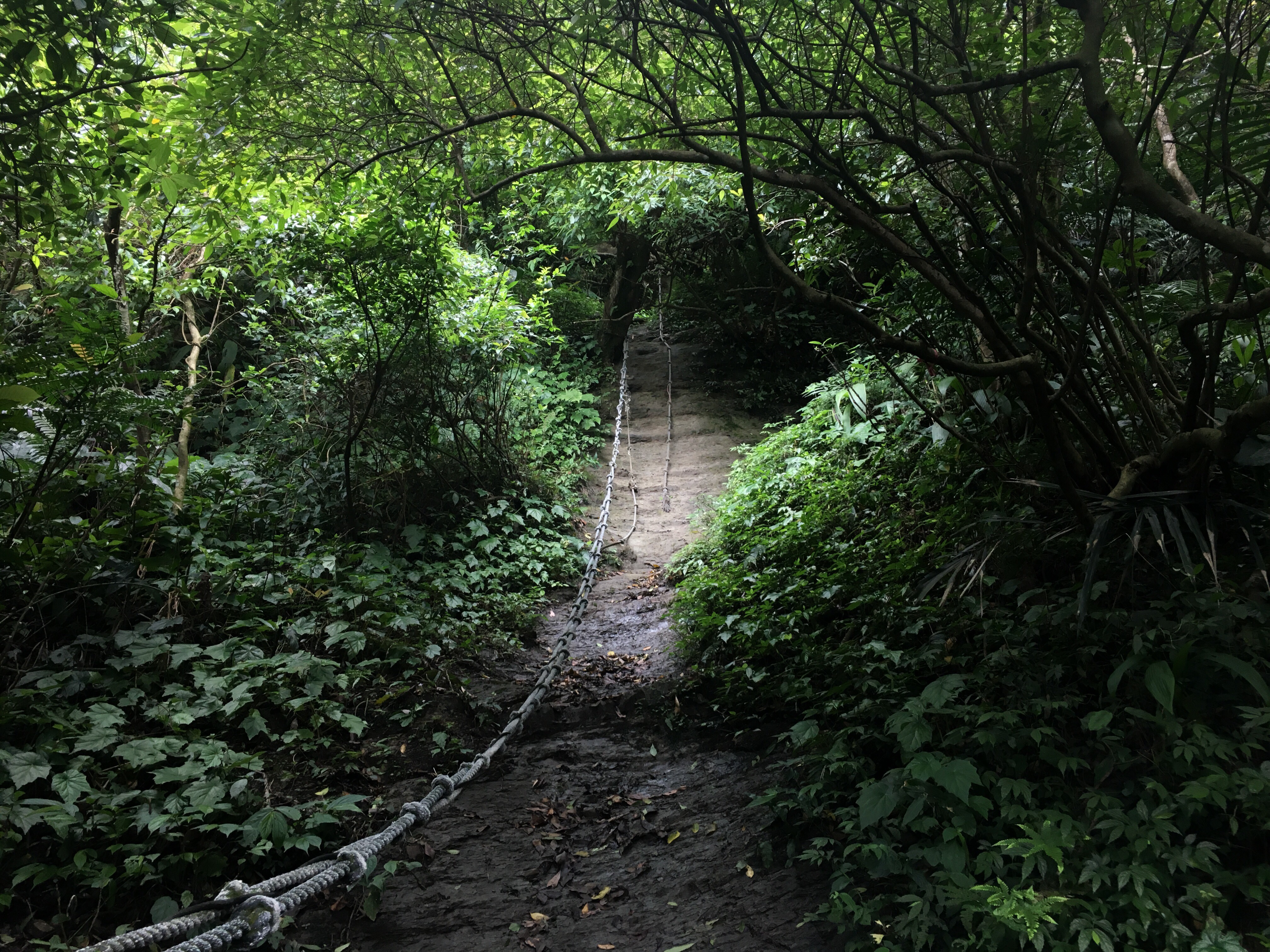
And just another minute or two beyond the previous exercise area there is another one. Actually, this is somewhere that I really should have taken a clearer photo because this is the point at which I veered off the main path, but unfortunately I didn’t. Upon reaching this rest area, you’ll encounter this large rock (the inscription on which is encouraging you to live longer I think) to the left of the path and if you look uphill beyond it, you’ll spot a roped path leading up.
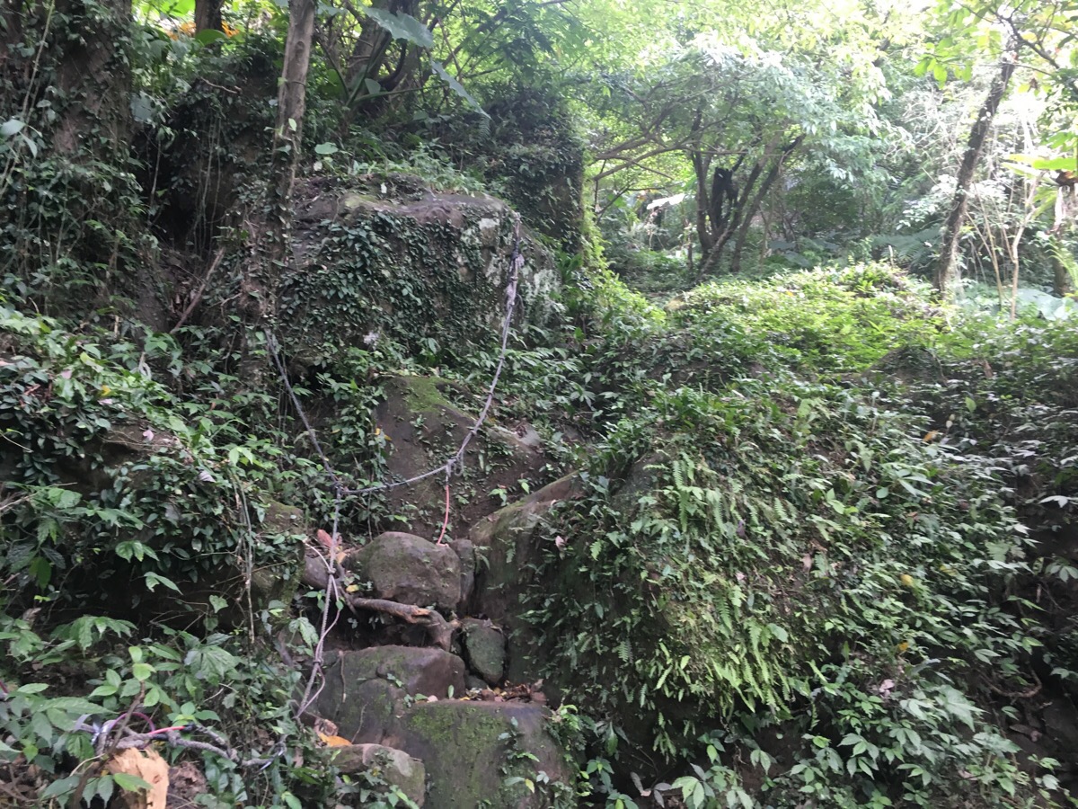
This is the route that you can see from the main path. It starts off being pretty straightforward, I didn’t even need to use my hands at first. The rocks were slightly slippery, but easy enough as long I watched where I put my feet.
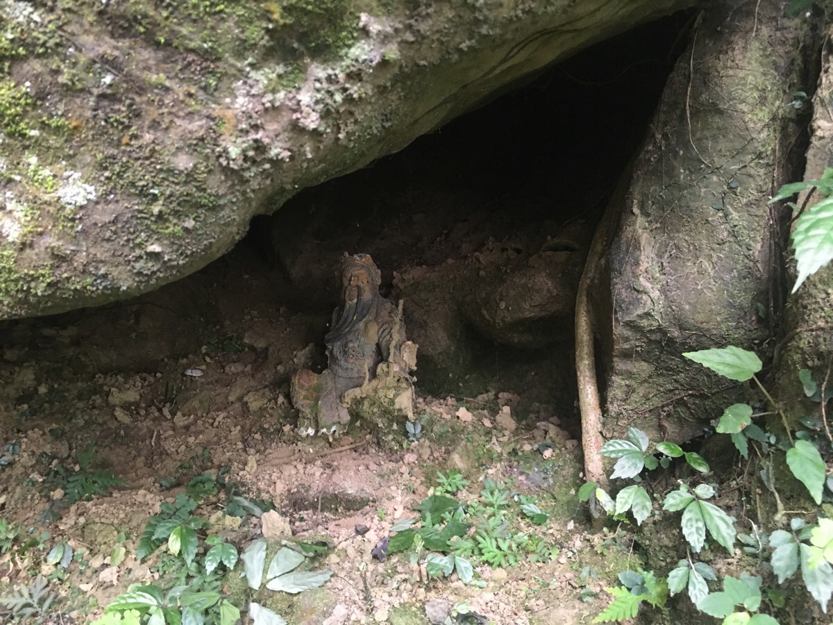
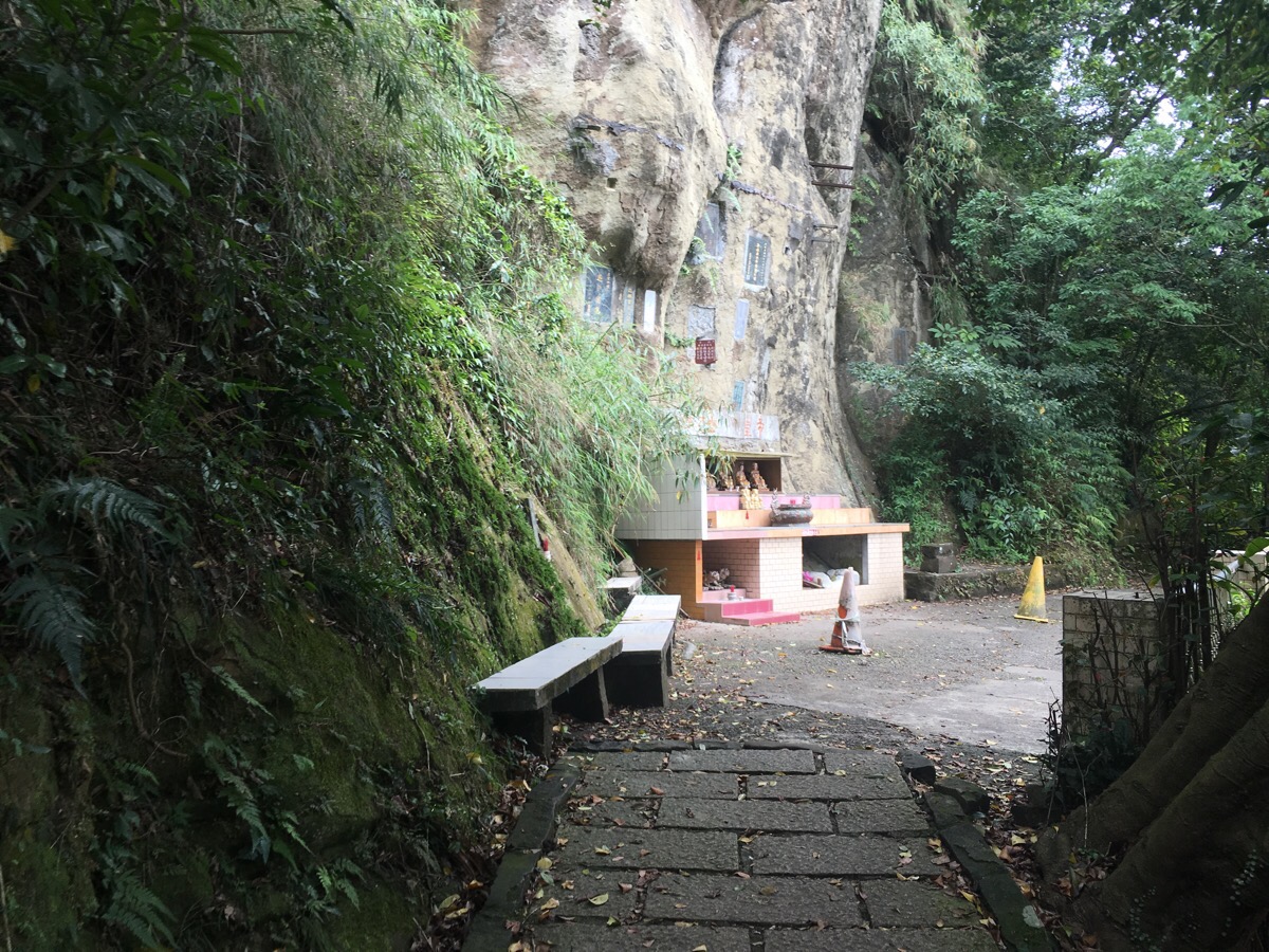
Part way up, your passage is observed by this cave-dwelling god. He’s placed in such a way that you wouldn’t be able to see him if you were heading downhill instead of up. He looks like he has been resting here for quite a while.
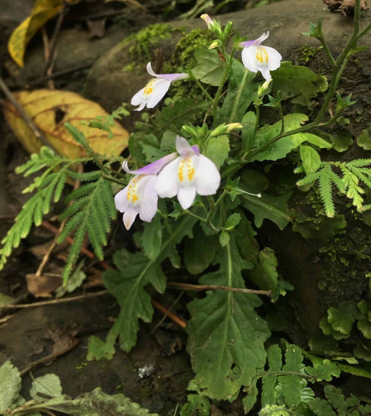
As well as loitering deities, there were also a lot of these dainty little flowers. I think they’re probably Japanese mazus, but there are a couple of very similar plants so it might be the other one.
About 10 minutes after leaving the main path was where the fun began. The first steep roped section wasn’t too bad, just a bit of a scramble up a rock face. The bottom portion was wet and slippery, but otherwise ok. Beyond that there was a slightly more difficult climb, but I took the lefthand route which was a little easier than the one on the right, so again, nothing too tough. That was just about to change.
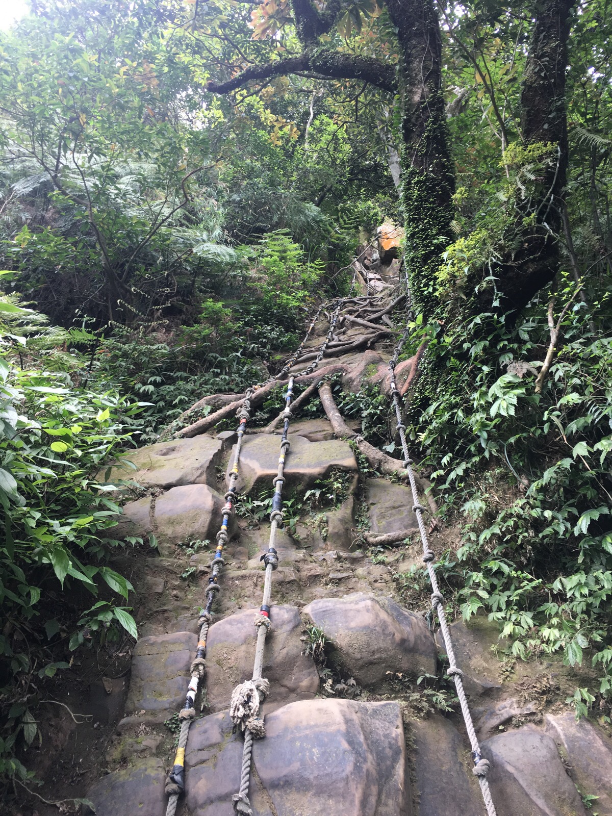
This was the final challenge of the route. Actually, I think it must have been more scary than I allowed myself to feel at the time because I can’t accurately say how high it was. I know it was at least double what you can see in the photo but I’m not sure. I had reservations about even attempting it. I could see just from standing at the bottom that it would be tiring and technical and that it would require upper body strength as well as tactical planning. I took a few minutes to have a drink and consider the route I would take, whether or not I actually wanted to attempt it (actually a path led off both left and right from here where it would connect to other less extreme roped sections), and where I would be able to stop and rest once I got going. Once I had made the decision to climb, I secured my backpack well and started. Actually, before I came to Taiwan, there is no way that I would have attempted this without a harness and an instructor of sorts, but my experiences here have given me a little more confidence in my abilities (although they haven’t diminished the healthy fear I feel at setting off up a vertical slope). I was pretty confident (writing that makes me feel like a dick – how can I even think that?!) that if I took it slowly, once step at a time, testing each handhold and foothold as I went, maintaining at least three points on contact and keeping my body close to the rock, I could manage it. Now I’ve done it, I don’t know that I’d want to do it again without someone else there, but at least I always felt as if I was in control of the situation and making sensible choices. The hardest parts were when I had to look down to make adjustments to my foot placement – the height was terrifying. And there was also one section where I had to make three attempts before I could get my foot to go where it needed to be because I was just a little to short to reach around a protruding boulder without letting go of both a handhold and a foothold. In the end, I was able to shift positions a little so that I was able to keep three points in contact with the roots and ropes, but it was still quite a haul and definitely the most nerve-wracking move I had to make.
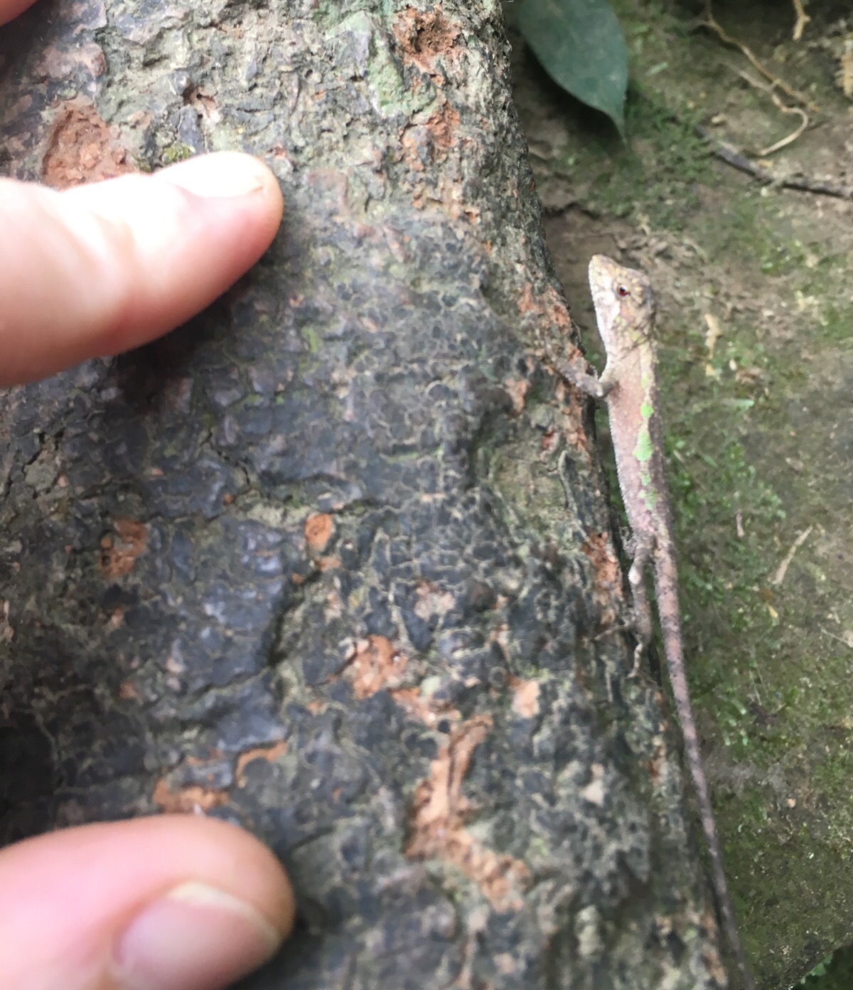
About 3m up, I met this little dude who was way more chilled about his current gravity-defying state than I was feeling. I tried to take my lead from him and will my hands to become sticky and my mind at peace with the vertical nature of the climb.
As the top came into view, the adrenalin caused my arms to shake slightly, but I was able to push that aside and get on with the business of pulling myself up to the top so that I could face the nerves on solid, flat ground. I would definitely not have wanted to do this in reverse, going up you can at least have a better view of where you’re headed, but going down you’re practically blind, (as you can see from the photo, the drop off is steep). I wouldn’t have gone over the rails if I had to go down.
As I appeared from the cliff, two middle aged gentlemen were passing and were somewhat perplexed to see me pop up from nowhere. I stood to catch my breath whilst looking back down and thinking that there was no way I would ever go back down that way, and they came to stand next to me to have a look. One guy was visiting for the first time, but the other seemed to be a frequent visitor. The one who’d been before had a pretty good knowledge of the trail system and the five roped sections – he said that the number two rope (the one I’d just climbed), was the hardest of the lot). He also mentioned that someone had died on it before – from what he said I had understood him to mean a man, but I could only find news of a woman who had fallen whilst attempting to climb rope number three. I can’t say that it was surprising to hear this. Given how close this trail system is to Taipei, and how popular the whole area is, it is likely to have high traffic and therefore more likely to have seen more accidents too.
After washing my hands in the very conveniently placed basin, I headed right and up towards 95 peak. It was pretty busy, several people passed through in the minute or two that I was there.
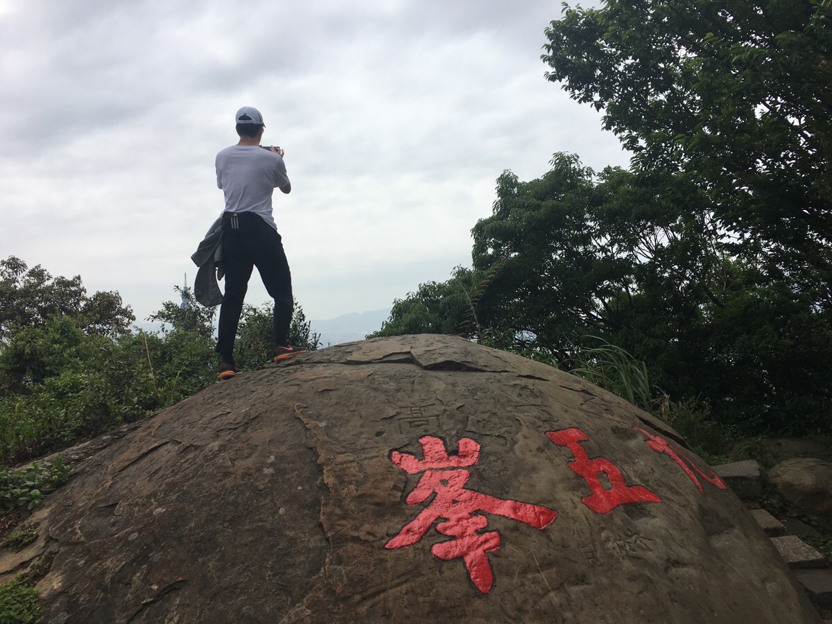
From 95 peak I continued on down the main path, passing the cliff-face shrine that I think is cute every time I pass it (I’m not sure why I particularly like this one – maybe it’s the altar dedicated to a tiger God left of and below the main altar). I also took the little spur on the left immediately after this shrine to head up to Muzha shan, because why not.
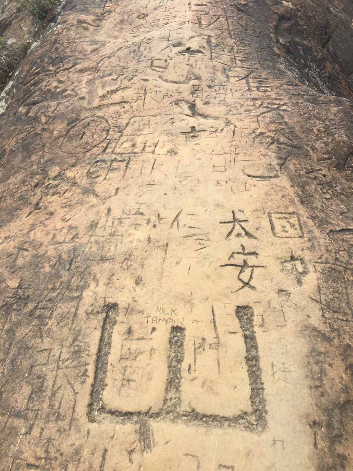
It’s only a minute or two off the main path and the views there are not the kind of thing you can tire of. Previous visitors have left their mark on the soft sandstone outcrop which makes up the peak.
When I arrived there was one other guy there, he left quite quickly and I was able to enjoy the quiet and the views by myself.
I ate a banana at the top and then continued on my way down. A squirrel squawked angrily in the trees above the path – there are always squirrels along this stretch of the trail and they are always vocal in weird ways. At the bottom of the steps I turned right towards Xiangshan.
Since I still had a couple of hours to spare, and I have already been to Xiangshan a number of times, I decided to take the next turning on the left. This is signposted as being a 10 minute walk to He Xing Tan Keng.
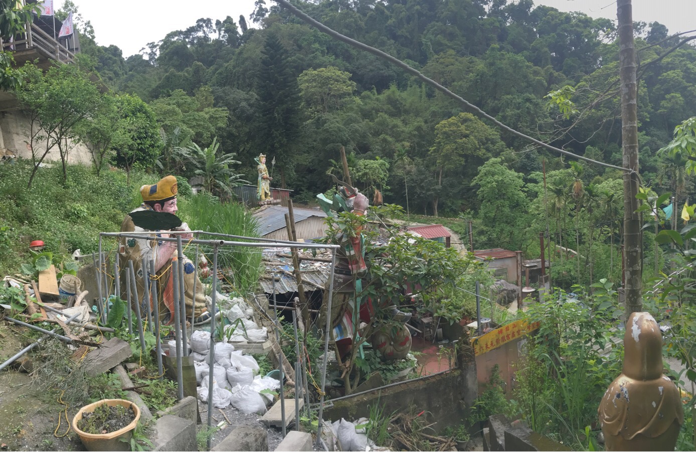
After a little while, the path arrives at a run down and sprawling temple – deities were strewn throughout the gardens/outside storage areas.
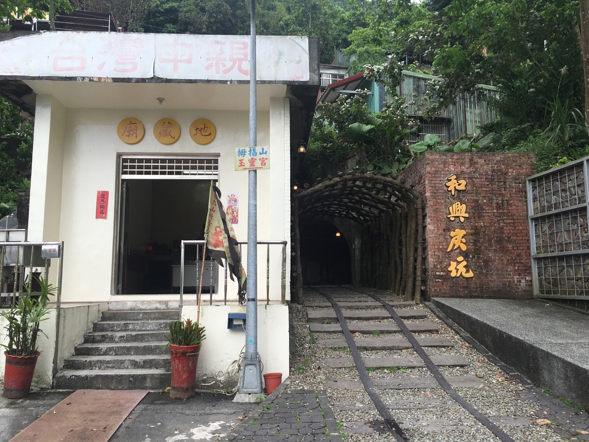
Following the steps down to the road leads you to He Xing Tan Keng, the opening of the old Hexing coal mine. This is marked in proper Taiwanese style by some coal carts and a statue of a cute pangolin miner. You can head into tunnel a short way just like you can over at the other mine entrance slightly over the hill.
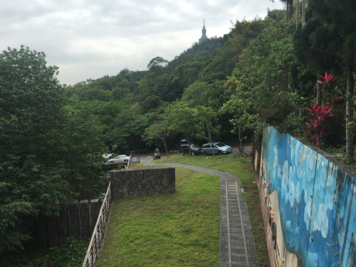
From here it’s all road walking. Just keep heading down until you’re walking along the stream.
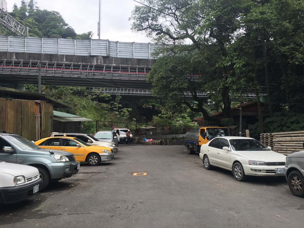
Follow the road under the freeway and then over a little bridge which crosses the stream.
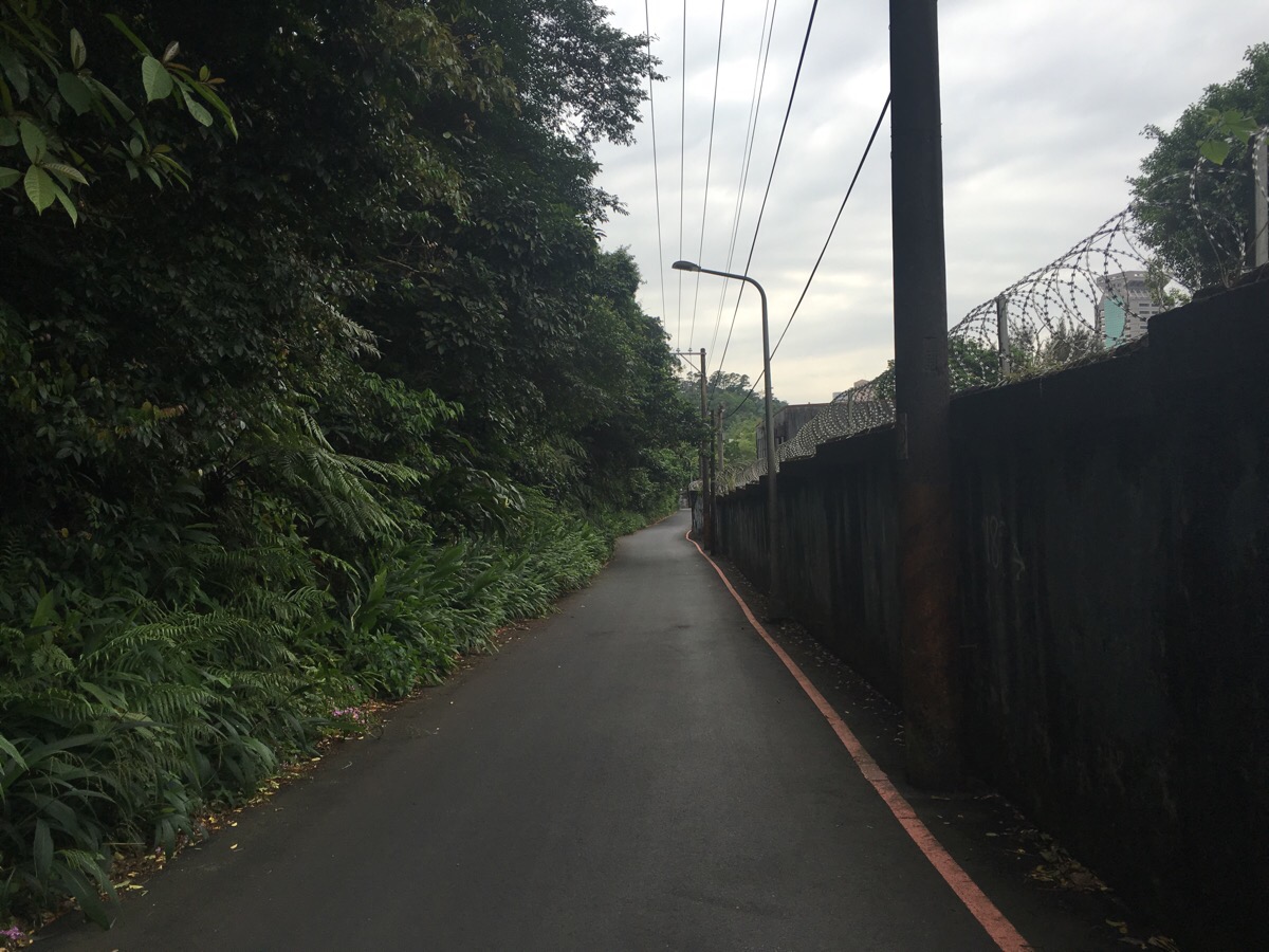
The narrow lane runs alongside what I think is some kind of military facility.
At the end of the narrow lane, head right on Lane 150, Section 5, Xinyi Road. From here it’s easy to just follow the road back.
Keep heading towards 101 and you’ll find yourself once again surrounded by transportation options.
How to get to Nangang Shan Rope Trail
Google maps address: Sung Shan Tsi Huei Temple, No. 33號, Lane 251, Fude Street, Xinyi District, Taipei City, 110 – this is the temple at the start of the trail. Scooter parking around here should be ok, and there is also a car park, but since this isn’t a loop walk you’re better off using public transport.
GPS location: N25 03.185 E121 35.246 – this is the location of the trailhead.
Public transport: it’s easy to walk from Houshanpi MRT station. There’s also a YouBike stand near the trailhead so you could cycle here.
Further reading: I’m not joking about the danger these trails present – this article in Chinese describes one fatal fall on the third rope section in 2014. For more descriptions in English of what it’s like to do this route you can read here.
A second trip to this area happened a couple of months after the first. This time we took a couple of videos. It was also made a little more nerve-wracking because of a series of signs that had been put up in the interim asking people to be careful – another hiker died here since I’d last visited.
Nangang Shan Rope Trail Map
My new words learnt on this hike:
- 我介意 / wǒ jièyì / I mind – as in “Do you mind if I skip work today?” – “我很介意!”
- 我不怪他 / wǒ bù guài tā / I don’t blame him
- gei gong eh (Taiwanese) / comparable Chinese would be 廢話 or 當然 / nonsense or of course – a kind of exclamation that what you’ve said is so obvious that it doesn’t need stating.
- 休假 / xiūjià / day off (more like a regular day off than a specific vacation) – “每一個禮拜三我有休假” or “I have a day off every Wednesday.”
- 冰棒 / bīngbàng / ice lolly
- 翅膀 / chìbǎng / wings (and maybe fins too?) – I knew this as part of the phrase before, but hadn’t considered that this part separately meant wing.
- 甜菜 / tiáncài / beetroot
- 臉書 / liǎn shū / facebook – more commonly I hear people say simply ‘FB’, but it seems the social media platform has a Chinese name too.
- 卯起來 / mǎo qǐlái / (do sth.) quicker, or pick up the pace – 卯起來做/do it quicker or 卯起來吃/eat quicker but accidentally – I still have an inexplicable enjoyment of Mandarin prepositional phrases (放進去, 走下來, 拿起來), so this is one that appealed to me instantly despite the fact that I’m not sure when I will use it.
- 我早就猜到(他會喜歡) / wǒ zǎo jiù cāi dào (tā huì xǐhuān) / I already knew (that he would like it) – I keep wanting to be able to express this idea of already knowing something or thinking something before knowing it. Previously I had learnt the phrase 我以為, but that translates more like I thought, with the implication being that my previous assumption has been been proved wrong.
