DISTANCE: 5.8km
TIME: 5½ hours without pushing to get anywhere quickly.
DIFFICULTY (regular Taiwan hiker): 3.5/10 – For elevation gain, steepness and rough trail surfaces in places.
DIFFICULTY (new Taiwan hiker): 6/10 – This is for the toughest of the roped sections, and taking into account the fact that it would be harder on a rainy day. However, with some experience and the right clothing/shoes, this isn’t nearly as challenging as the government websites and warnings would have you think. There are some steep sections, but for the most part, it’s in all in your legs – I never had to rely on my upper body strength, so I wouldn’t consider this walk tough by Taiwan standards. That said, I wouldn’t recommend this for first-time hikers; perhaps test out your cardio ability on the nearby Mount Miantian trail first.
TOTAL ASCENT: About 78om to a high point of 1079m.
WATER: I got through about 2L on a day when the temperature was high 20’s.
SHADE: Patchy—on a really sunny day I would have required a hat, since the open sections are mostly places where hands are required.
MOBILE NETWORK: Not great—I didn’t have coverage whenever I looked for most of the first hour and a half.
ENJOYMENT: This is definitely one of the more challenging and fun walks within the boundaries of the national park, but personally I feel it doesn’t compare to the excitement of Xiao Guanyin Shan trail.
OTHER: This trail is (theoretically) only open between October and February in order to preserve the environment as it’s an important habitat for insects, in practise I don’t think anyone adheres to this restriction. In addition, it shouldn’t be attempted during or after rain, you wouldn’t want to be scrambling down these slopes if the ground was wet. Bring gloves, and/or poles, the roped sections are steep and you wouldn’t want to be going home with rope burn. Also watch out for snakes – in reality, this is true of anywhere you go in Taiwan, but we came across one of the larger specimens that I’ve encountered here, so it’s worth just remembering that they’re out there sharing the hills with us. Also, it is part of the Taipei Grand Trail, if you’re interested in walking the whole thing you can find more information here.
TAIWAN 100 MINOR PEAKS: Number 1
PERMIT: None needed.
Jump to the bottom of this post for a trail map, GPX file, and transportation information.
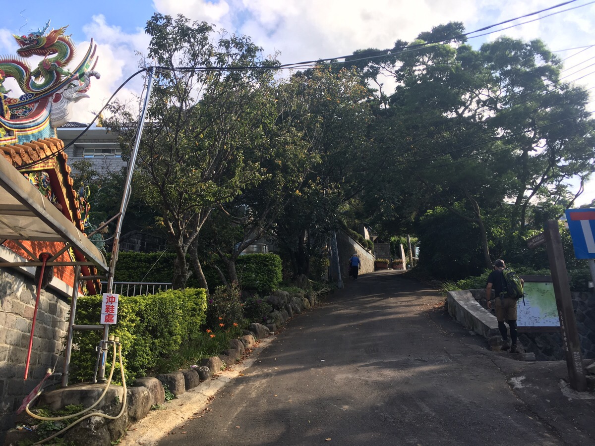
The bus stops at Qingtian temple and we promptly set off up the road to the right of the temple building. There was another group of three hikers who came in the same bus as us – they were headed the same way, but took a little time to sort their packs off, so we quickly lost sight of them.
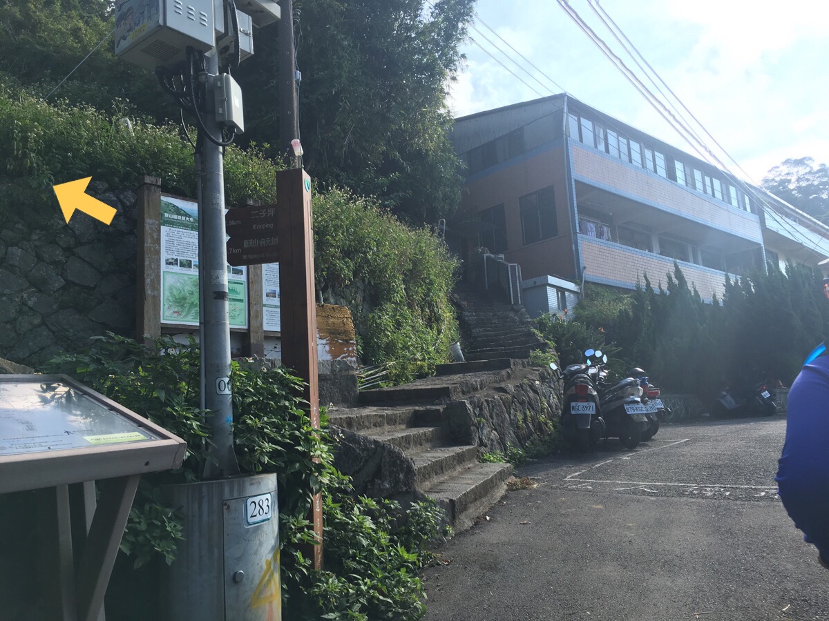
Almost straight away the steps start. The sign says that the steps less towards Erziping and Miantian shan.
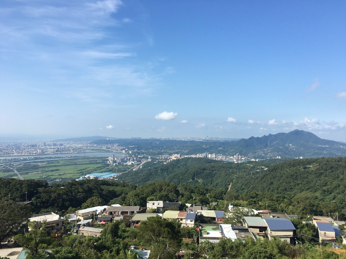
The path skirts in front of another temple (清水宮) with views of Guandu plains and Guanyin shan.
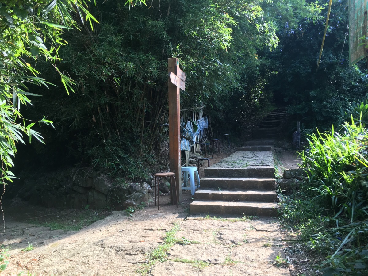
There are a couple of places where there are alternative paths, but it’s easy to keep following the path up. At this junction, there is a large assortment of stools and what looks to be a dwelling. Further up again there is a closed off temple. It was noted on the map as being San Sheng Temple/三聖宮, and in blog posts I’ve found dating back to 2012 it seems to be permanently shut. However, since the plants haven’t claimed it and the courtyard appeared recently swept, I’d guess that someone must be visiting – if only to maintain it and feed the dog who was calmly sitting behind the red gates. There was a group of walkers taking a rest here and comparing shoes, so we moved on quickly, but you can get a glimpse of beyond the gates here.
The steps continued upwards, and we ignored one trail shooting off to the left. (If you want to head up to see xiang tian pond, you could take this path or the next one).
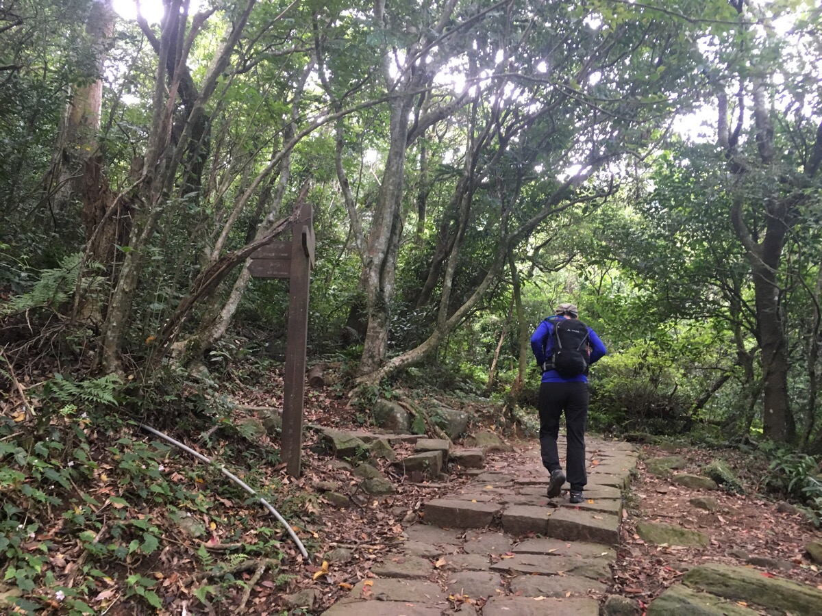
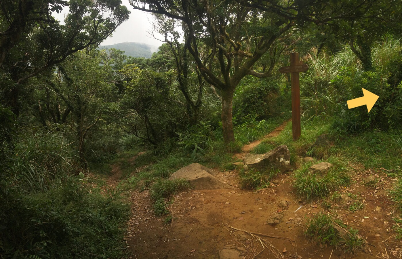
A little further on we ignored another trail to the left and headed for a pavilion at a crossroads. We took a rest here to eat a little fruit before making a start on the proper climb. We shared the place with a large bee and a pair of male walkers, one of whom was trying some kind of energy gel apparently for the first time, (he didn’t like it), and another who said that he had packed food despite only needing water to keep himself going. When we were ready, we headed up the trail towards datun west peak.
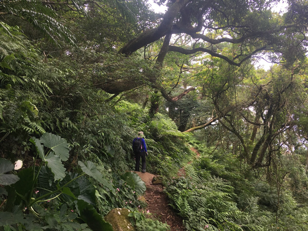
The walking here is markedly different to the steps we’d being climbing up to this point, all tree roots and rocks. There’s a time and place for both, but this type of surface is definitely fun.
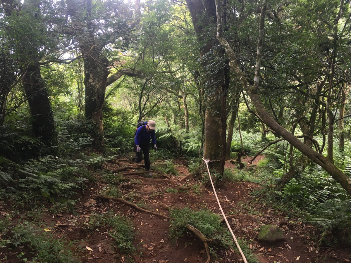
I was trying out a new pair of hiking boots on their first trail, so I was trying to get used to having extra ankle support but less sensation underneath my feet and a much bigger toe box. I really missed being able to feel the shape of the ground beneath my feet, but the extra support did work to avoid aggravating the problem I’ve been having with one of my toes recently. Teresa on the other hand was troubled by the lack of ankle support on the shoes that she was using.
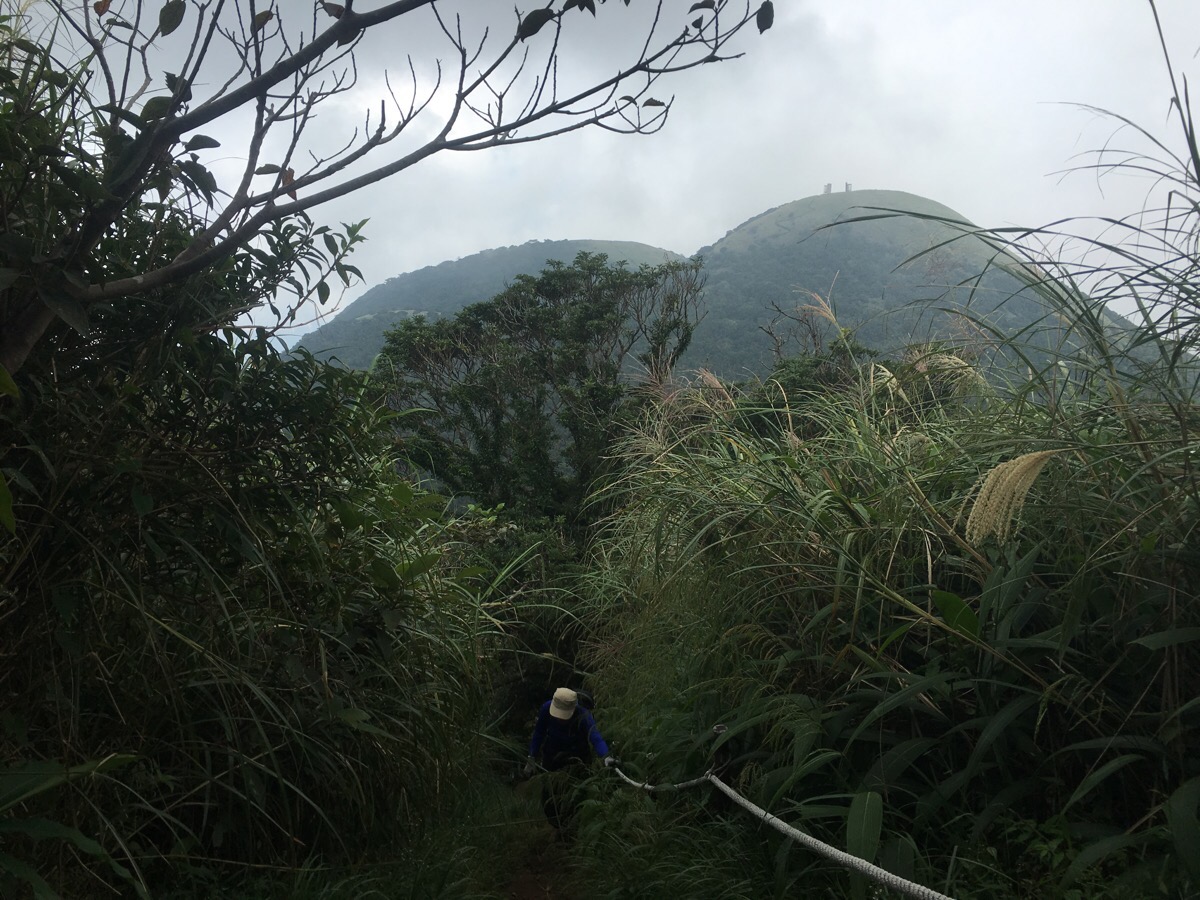
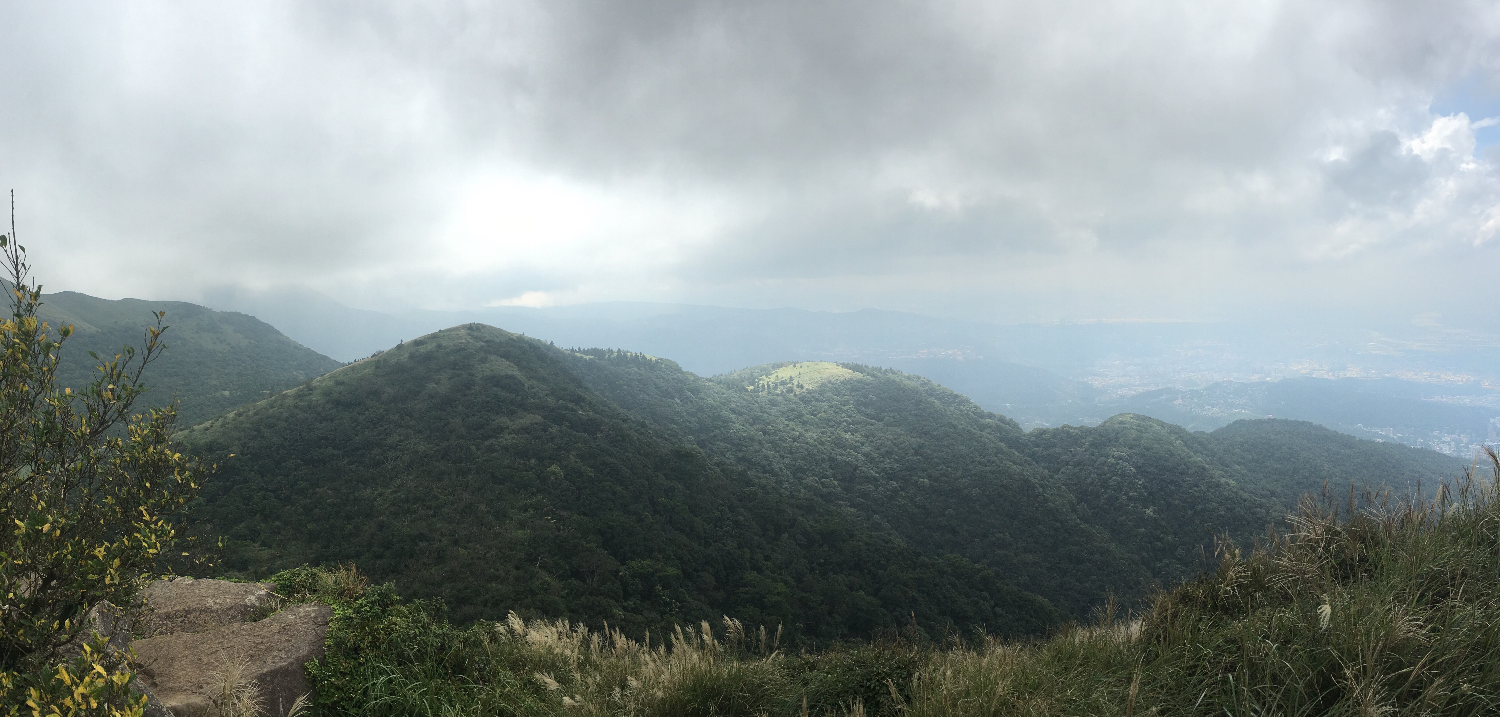
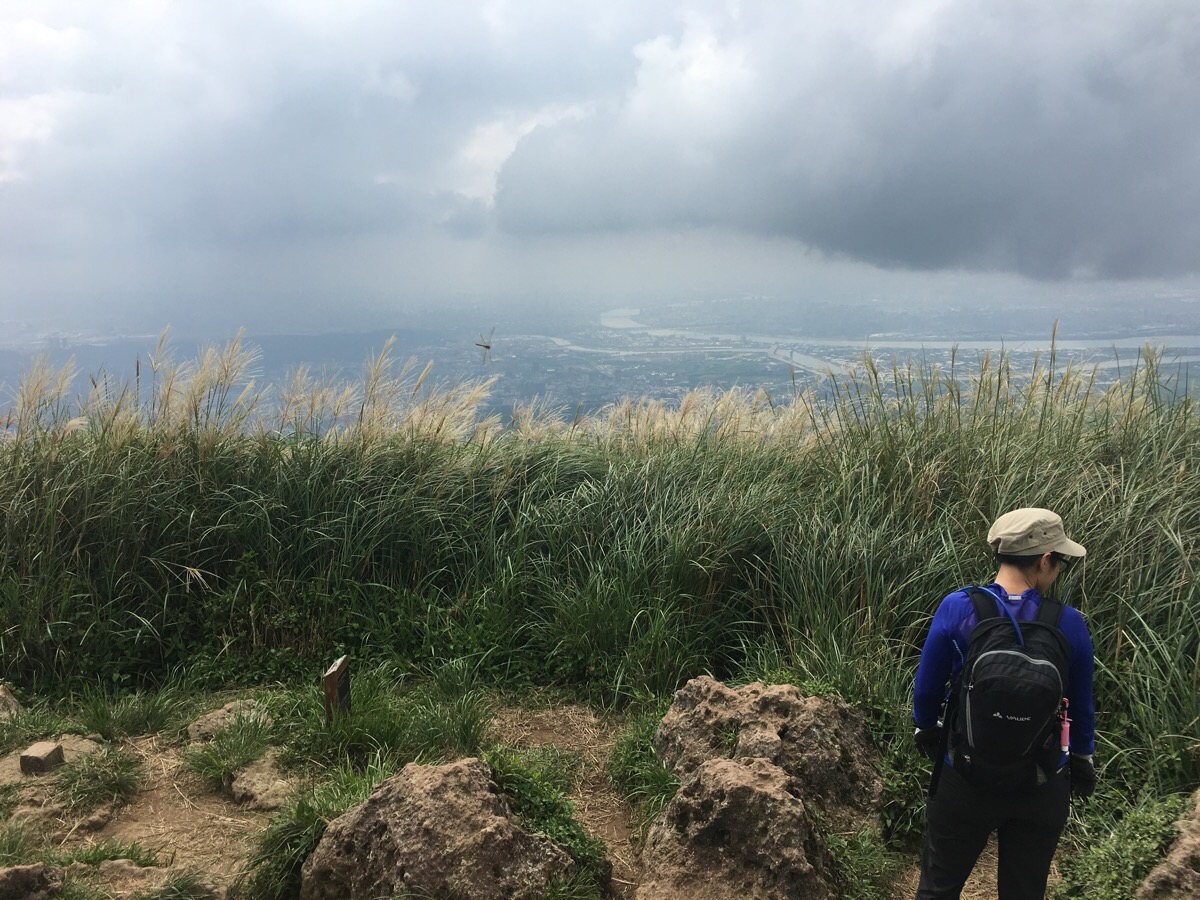
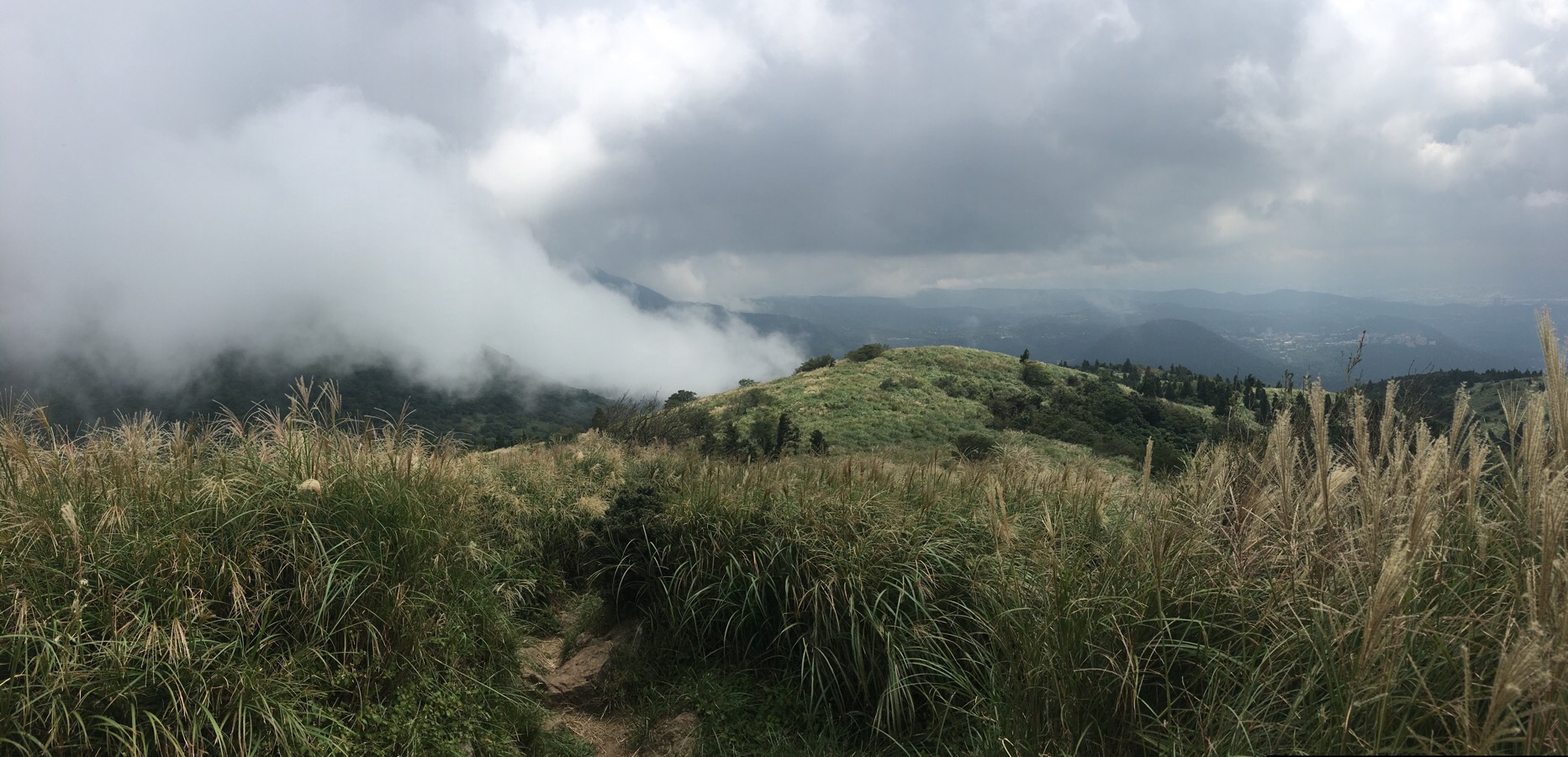
As the altitude increases, the trees gradually drop away, and the final climb to the west peak is through tall grasses. Looking back gives you views over towards the twin domes of 向天山 (left), and 面天山.
After arriving on the west peak, you can look over towards the next stop: datun shan south peak. We stopped here for a quick drink and rest before continuing on our way. The men with the disgusting energy drink and excess food from the pavilion were here too.
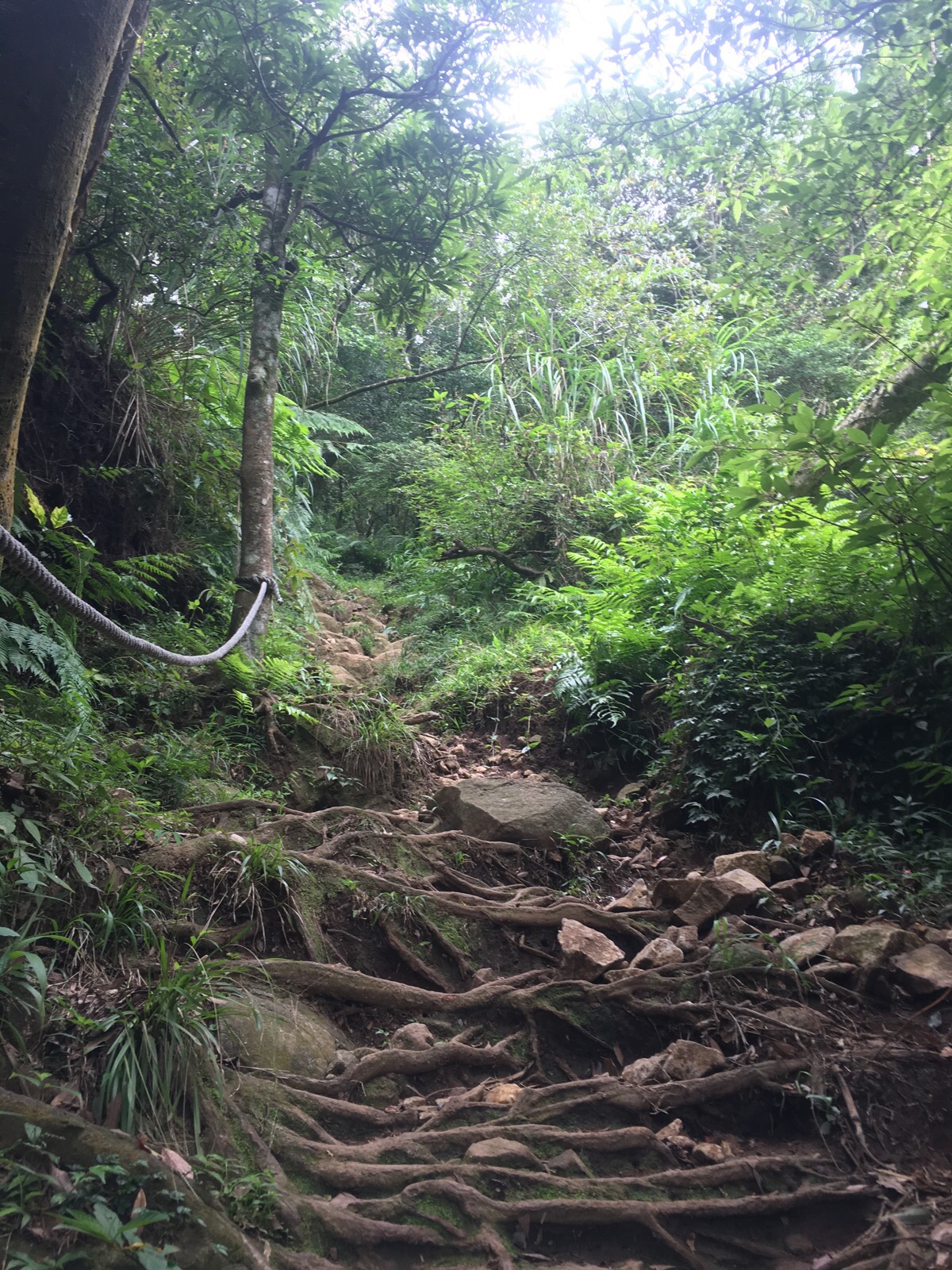
The path down is steep and rocky. It was done half walking forwards and half backwards – this bit would have been very muddy and unpleasant in wet weather.
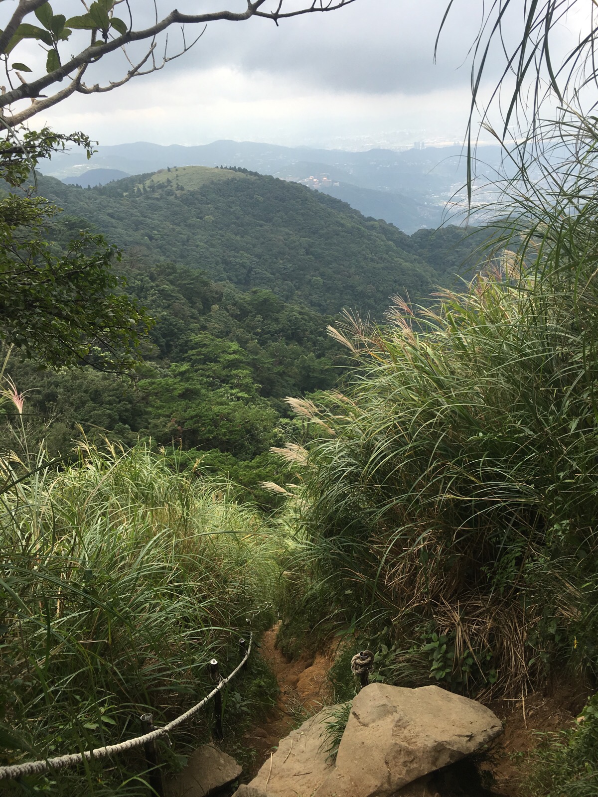
Adding to the difficulty was the fact that the views here were beautiful enough to be distracting. We took it slowly and carefully though, and reached a flatter section after 10-15 minutes of descent.
Almost immediately after reaching flatter ground, the trail fork: left towards datun ping (a hollow between peaks) and right towards the south peak. We chose to continue with the tougher trail up to the south peak, but if you’re feeling tired you could head down to where the trail becomes paved again.
For a short time the path is level. Through this section, the sides of the trail were decorated with light pink bergonias and something yellow and elegant which reminded me shapewise of dead nettle flowers.
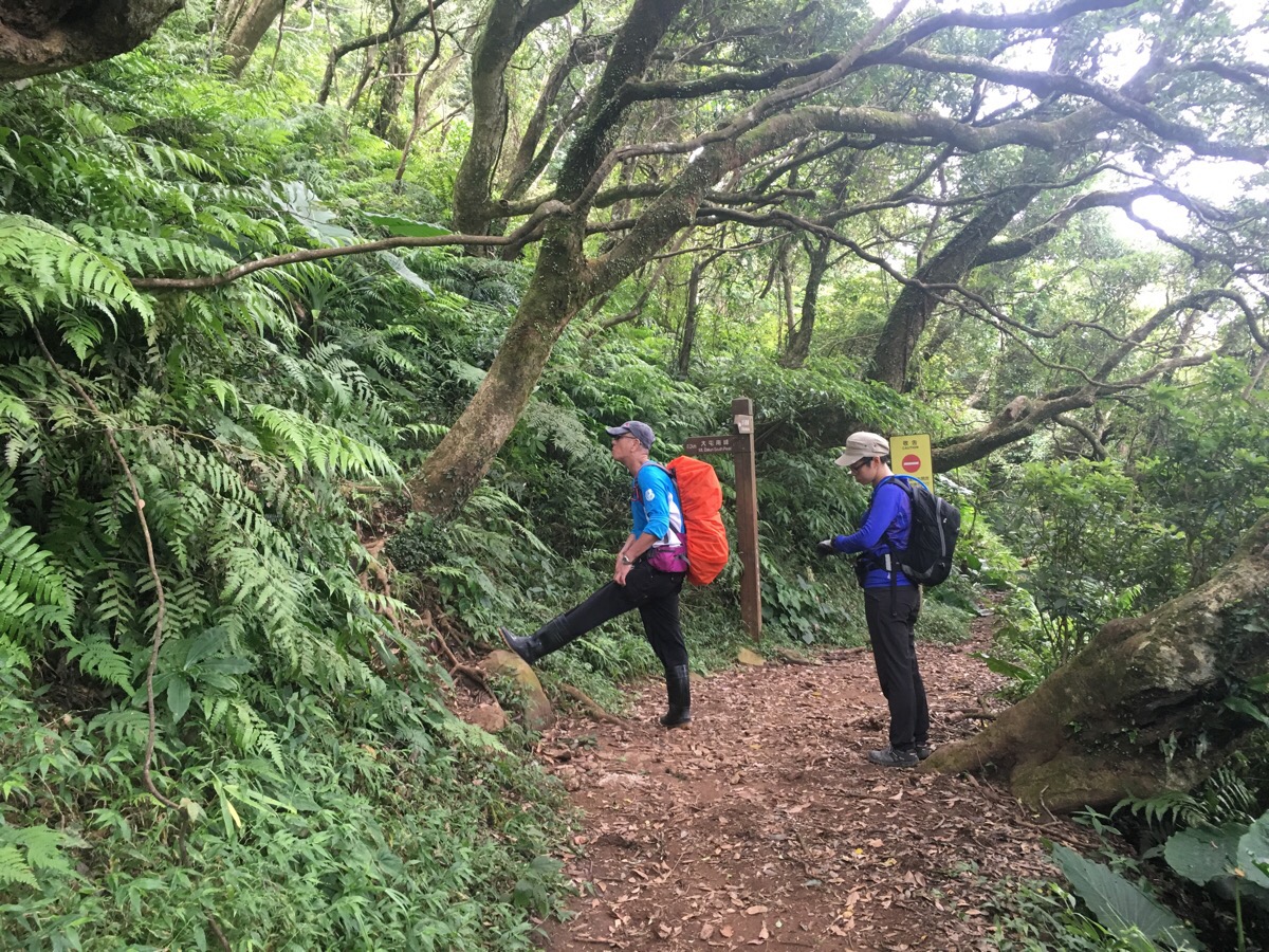
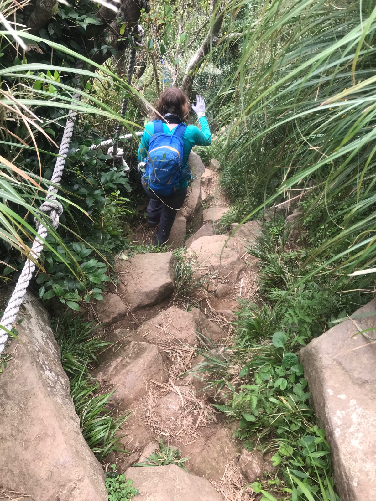
The path reached a junction, although a sign indicates that the trail ahead is closed, so an abrupt, upwards left is the only route. At this point we encountered a group of four hikers making their way down who had clearly not prepared for this type of walking, (one was wearing jeans). After waiting for them, we made it up about 20 metres before having to stop again for a large family group which was equally ill-equipped, (no, sandals are not appropriate footwear here). We waited at least five minutes for them to make their way down and pass us before we could continue up.
After letting them pass, it was a short, steep climb up to the south peak.
By this point we were getting a little hungry, but the lack of shade combined with the increasing heat of the sun meant that we decided to continue on to find somewhere more shaded for lunch.
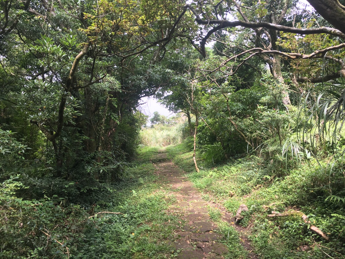
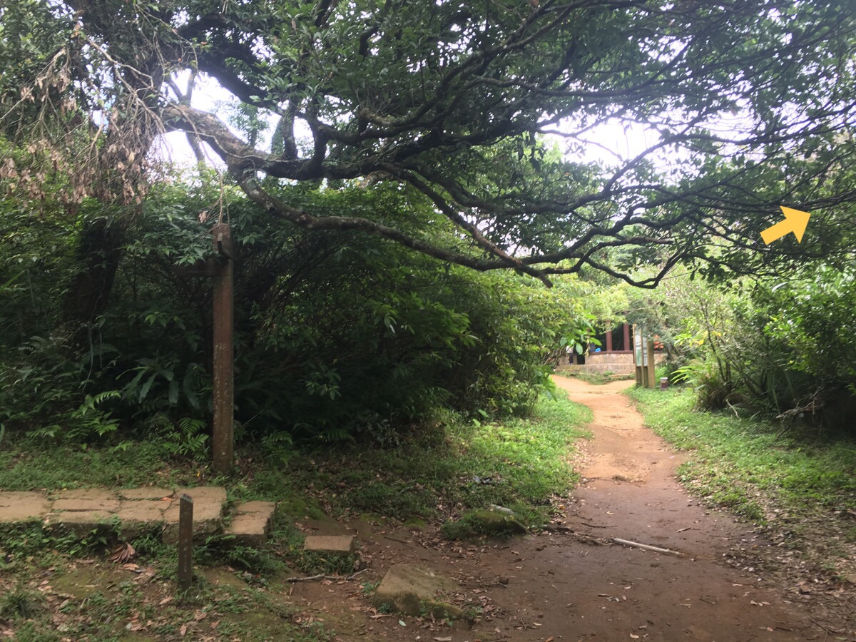
As the descent levels out, a paved path appears and the walking gets markedly easier. Soon we reached a junction, left went downhill towards Erziping and right went up to Datun Main Peak.
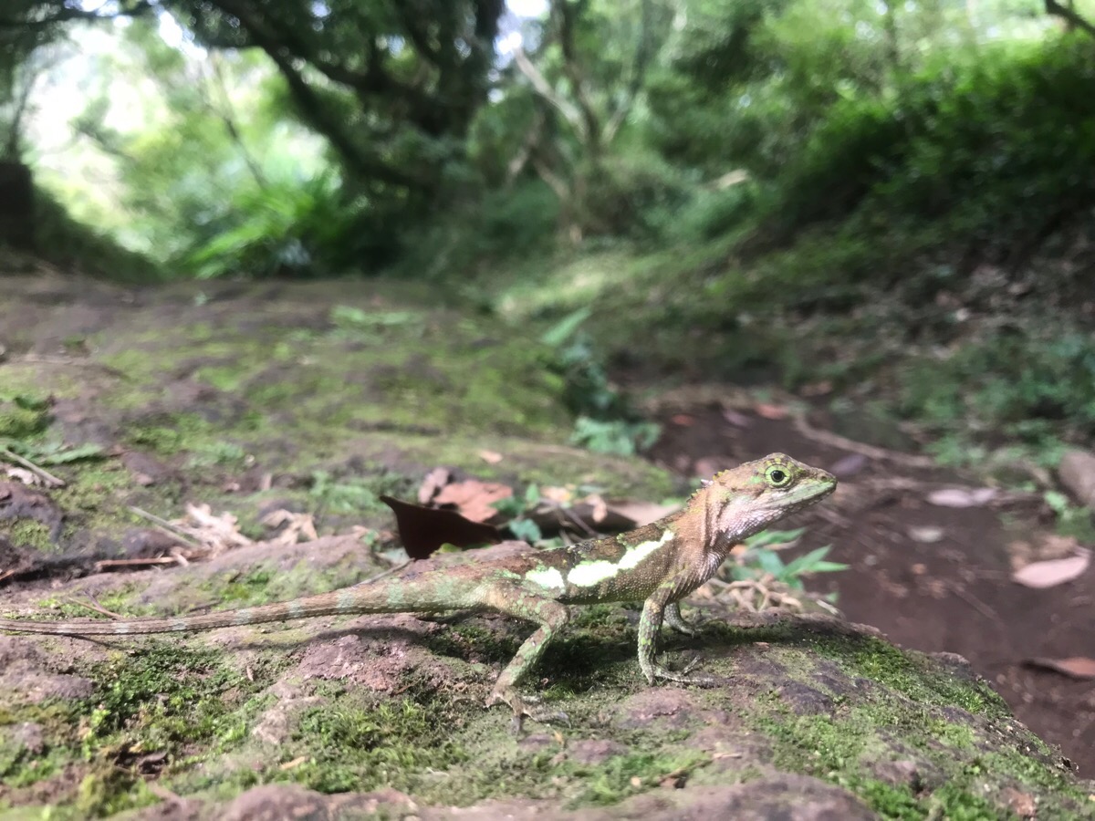
We went up to the right, but first we stopped to have lunch on the bench at the junction. As we were settling down, a man passed us and let us know that there was a snake just up the trail, a large tan-coloured thing which coiled back when it saw us. Thankfully it stayed further up the steps whilst we ate, and our only lunch guest was this extremely brazen tree lizard – it caught and noisily ate something just 15cm from where I was sitting before nonchalantly ambling off to observe us from a nearby tree.
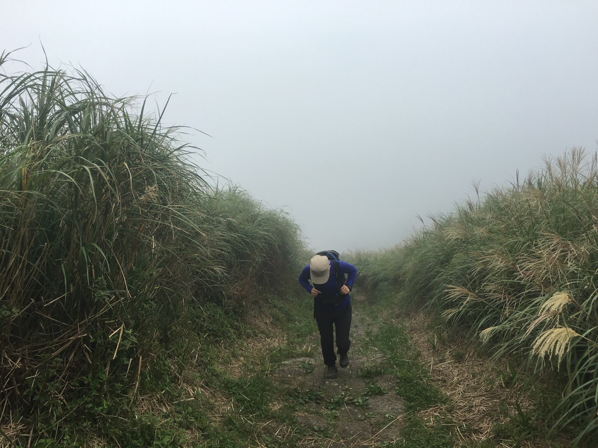
After refuelling, we started up the steps and almost immediately encountered the snake a second time. It had just moved about six steps up and we disturbed its sunbathing. The final climb up to the main peak is steep and unshaded. For a while, we had some good views, but then the clouds came down and it was just hot white mist.
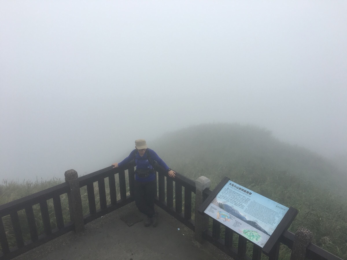
The peak itself is the high point of the trail at 1092m above sea level, but it was equally cloudy, so without much of a view to enjoy, we kept going. From this point, you can walk down the road all the way to Erziping Visitor Centre, or take the Anbu Trail down through the bamboo.
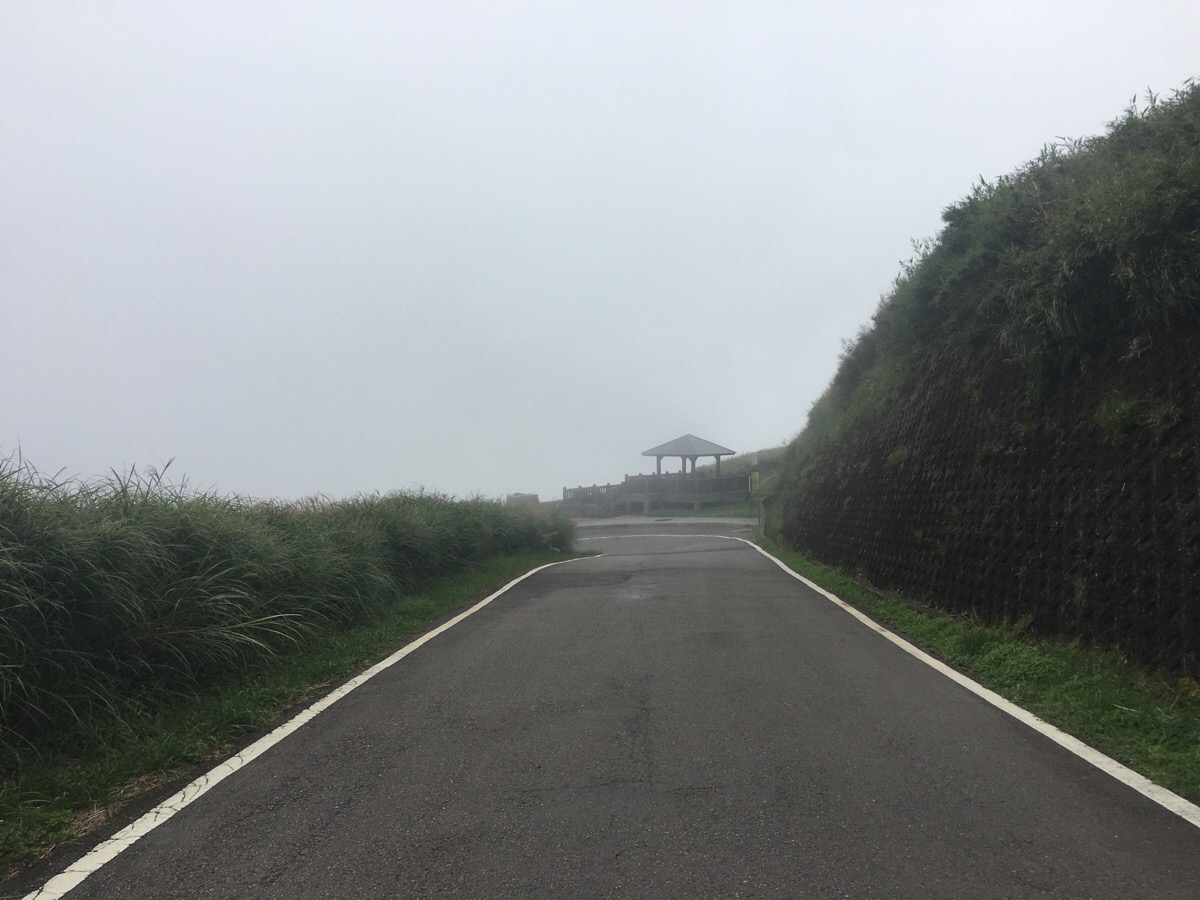
We didn’t take the first, (signposted) turning for the Anbu Trail, but at a lookout pavilion, we decided to take the trail down instead of the road since it was much shorter. Around this time, we just started to hear the rumblings of thunder in the distance; it seemed that we’d completed the walk just in time.
How to get to Datun Multi Peak Trail
Google Maps address: 新北投清天宮, No. 522, Fuxing 3rd Road, Beitou District, Taipei City, 112 – this is the address of the temple where the bus stops.
GPS location: N25 09.590 E121 30.040
Public transport: the S6/小6 leaves from outside Beitou station. Both the downhill and uphill services stop at the same place, so make sure to get on the uphill one (it will have 上山 displayed on a card in the windscreen). Get off at the final stop: Qingtian Temple. You’ll know you’ve arrived when you see a large banyan tree acting as a roundabout. Coming back, the S108 (make sure you get the correct one, not the one headed to Qingtiangang), departs from Erziping and terminates at Yangmingshan bus depot, from there you can catch buses back to Shilin (R5), or all the way to Taipei main station, (260).
Further reading: considering how easy this is to reach with public transport, I’m surprised that it is only mentioned kind of in passing in other places. Some people have done parts of it, or come near this walk, but I can’t really find any other English language descriptions, (there are plenty in Chinese mind). The Yangmingshan Park English language website has a little info, but not much.
Nearby trails:
- Fairy Shrimp at Xiangtian Pool
- Taipei Grand Hike Section 1: Guandu to Erziping
- Xiangtian Pool to Miantian Shan and Erziping
- Guizikeng Trail
Datun Multi Peak Trail Map
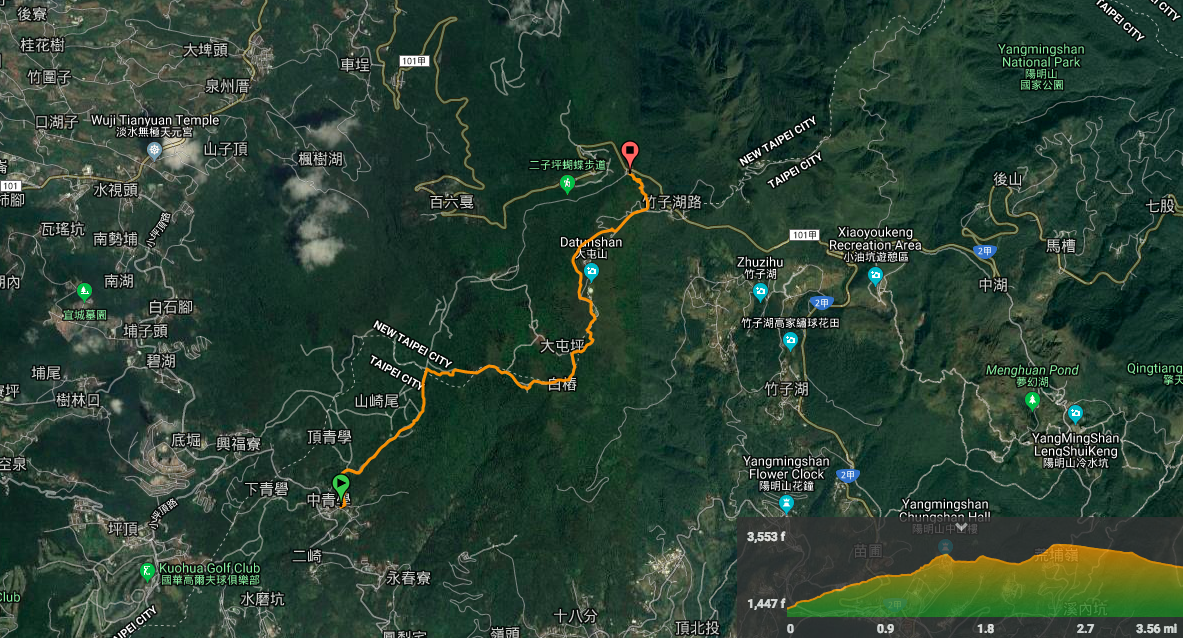
GPX file available here on Outdoor Active. (Account needed, but the free one works just fine.)
My new words learnt on this hike:
- 壽司 / shòusī / sushi
- 只有我覺得,還是…嗎? / Zhǐyǒu wǒ juédé, háishì… Ma? / Is it just me, or …?
- 仙女 / xiānnǚ / fairy
- 風險 / fēngxiǎn / risk – before going, we were discussing the best place to hike given that the weather looked uncertain almost everywhere: 每一個地方有風險.
- 順便 / shùn biàn / at the same time

Pingback: Yangmingshan National Park: The Perfect Outdoorsy Day Trip From Taipei - The Sandy Feet
Pingback: The Ultimate Hiking Guide to Yangmingshan National Park - Taiwan Scene | Online Travel Magazine