Distance: 7.2km
Time: 3½ hours
Difficulty (new Taiwan hiker): 2.5/10 – Easy but a lot of steps.
Difficulty (new Taiwan hiker): 5/10 – There are quite a lot of steps, which requires a moderate level of fitness. This should be ok for anyone who does some regular form of exercise, but it’ll still be a little tough if you’re not used to climbing large numbers of steps.
Total ascent: 850m to a maximum elevation of 961m.
Water: I got through between 1.5-2L on a hot September day.
Shade: Aside from some shaded stretches, there is a lot of unshaded walking. I had my umbrella out for a lot of the time.
Mobile network: Ok, but patchy, there are a few black spots.
Enjoyment: For a fully paved trail, this is very enjoyable. There are some great views over the city, and the magnificent scenery of Yangmingshan National Park is always worth it. Another bonus is that both ends are accessible by public transportation.
Jump to the bottom of this post for a trail map, GPX file, and transportation information.
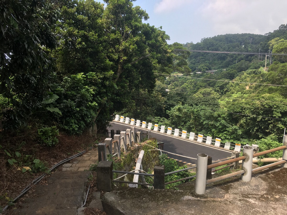
The bus stops at 清水宮/Qingshui temple, which is the start of the Mt. Datun multi peak trail. Actually, I could have started this way and joined up with where I was headed later on, but I had set my sights on the Mt. Miantian trail, so I wanted to start from the actual start. Because of my insistence on doing it the ‘proper’ way, I had a thirty minute road walk to get to the trailhead.
That involved first heading downhill a little, then bearing left past rural houses and through narrow streets. I passed a woman sat out in the street hand washing the laundry as an old dog watched her and me impassively.
At the first sign post, I kept straight l, following a footpath between buildings and then down a few steps.
At the bottom of the steps I joined the road again and went right.
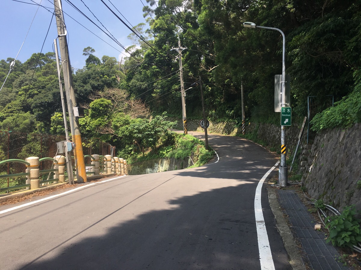
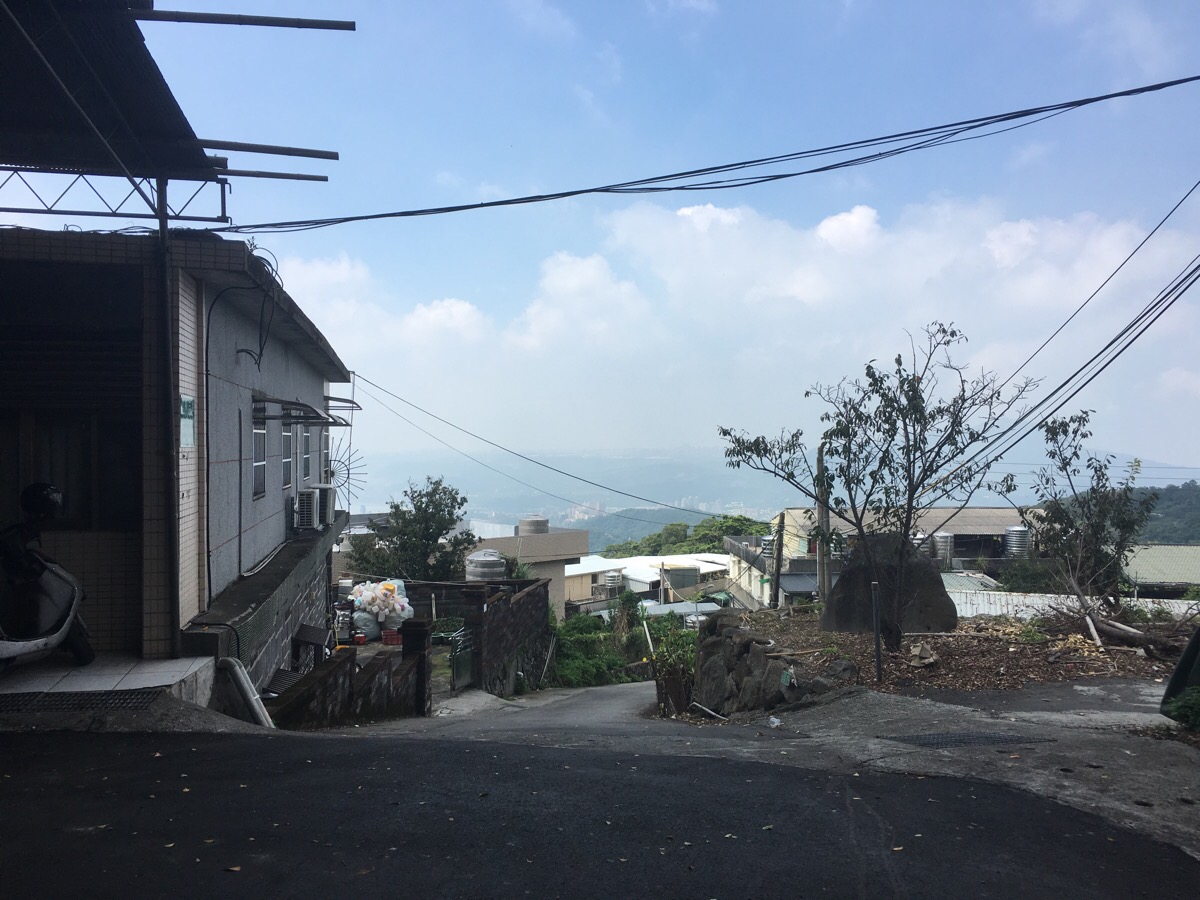
For a stretch, there are views south across the paddy fields of Guandu Plains, (which is apparently the home of the annual Beitou rice festival), and beyond. Then the road splits, I followed the higher, righthand one which was signposted as heading to Danshui.
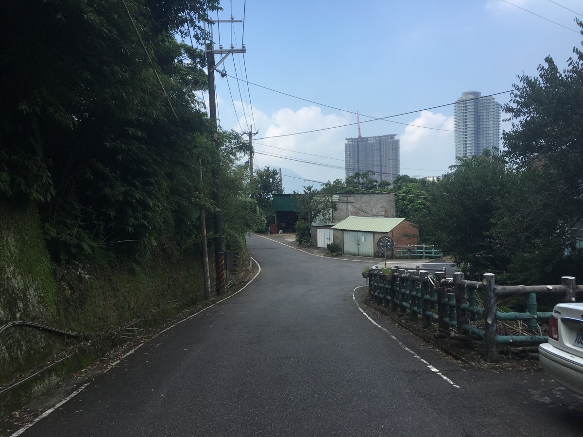
There was a bit of a climb, then a bend and the road headed downwards towards some high rise buildings which appear to be part of a slightly incongruous new development.
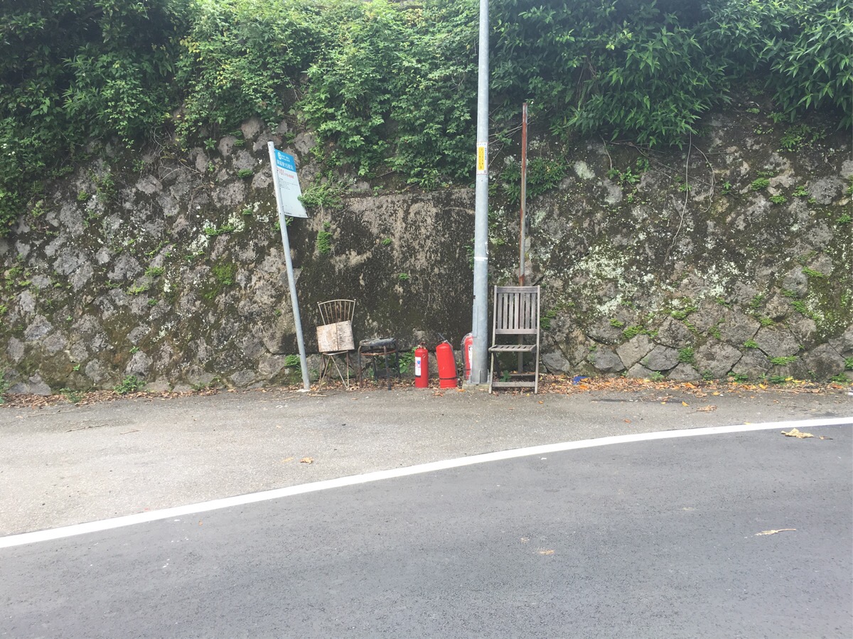
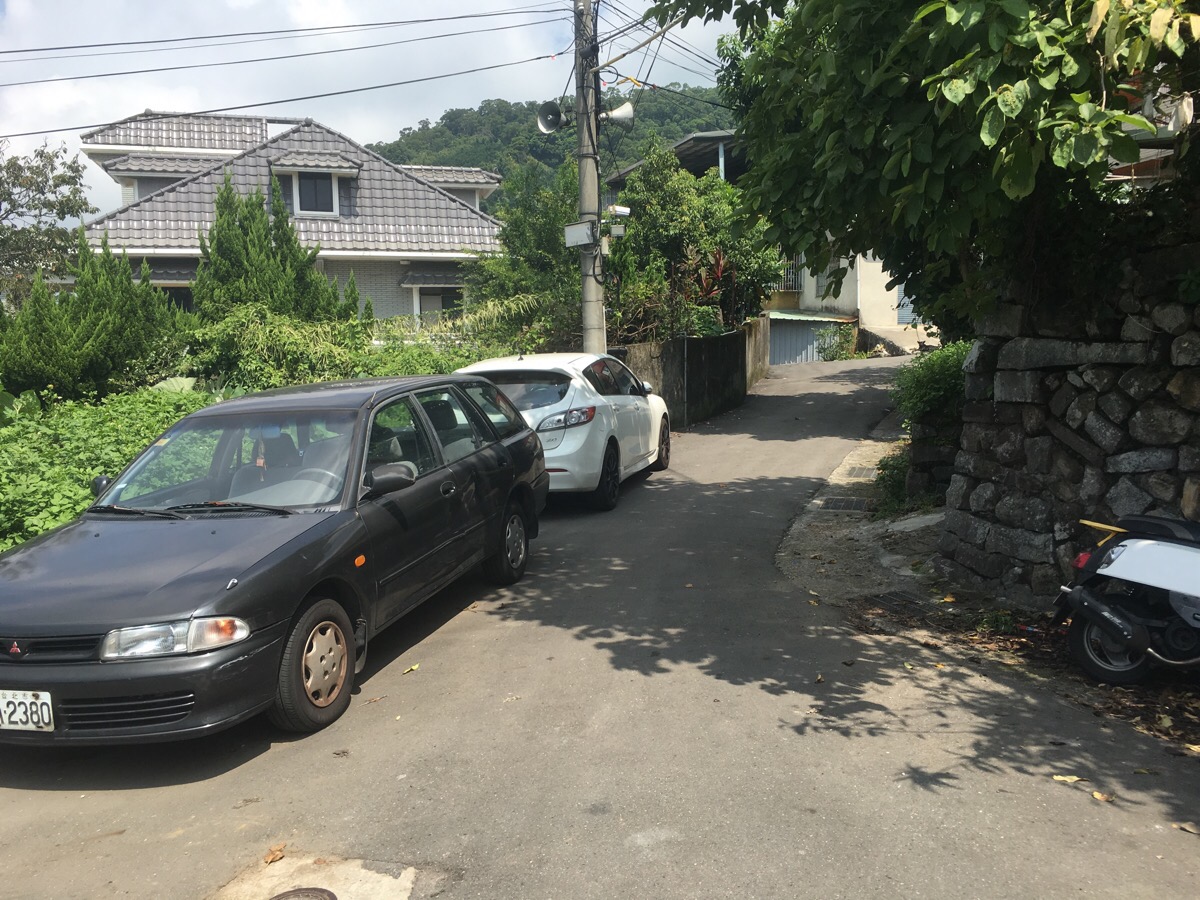
The road meanders through some very village-y scenes. I particularly liked the bus stop with chairs and a trio of fire extinguishers. I could have caught the bus up to here, but there aren’t frequent services, so it was more convenient to work from Qingshui temple.
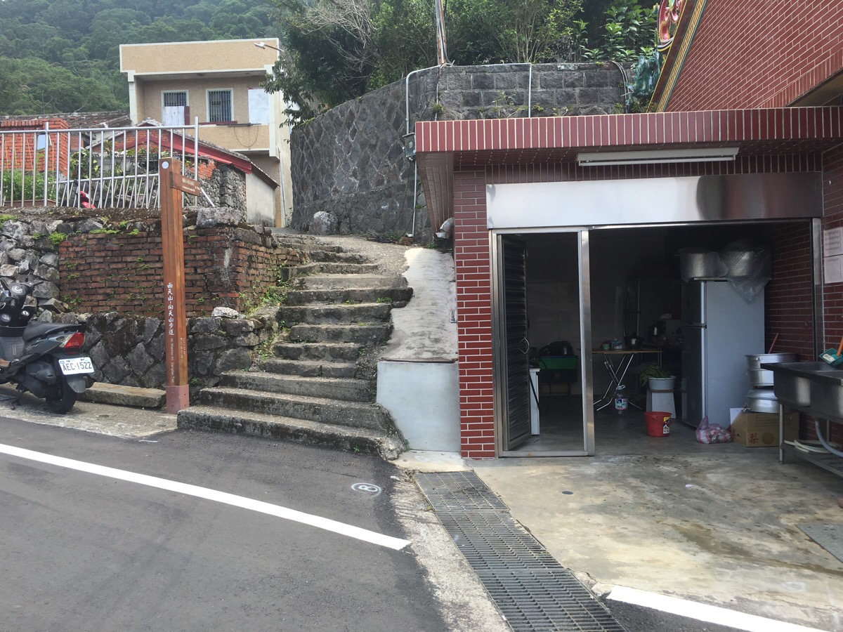
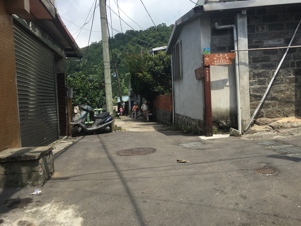
The road takes you up to 真聖宮/Zhensheng temple. There was a bit of a fuss going on here, people were setting up stuff on tables and going to and from the kitchen. Steps on the right immediately beyond the temple are sign posted towards the start of Mt. Miantian trail.
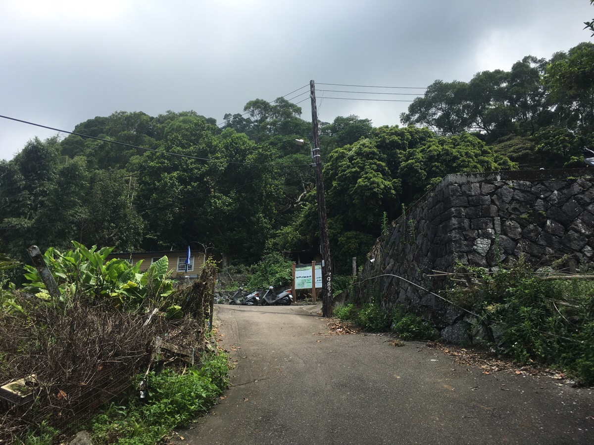
In the small street just behind Zhensheng temple, I encountered a geriatric dog who was having a morning pootle, and a grandma sitting out in front of her house to watch the world pass by. I nodded hellos to both as I followed the narrow lane around and up. There is a sign at the trailhead which offers a little information about the trail and the general area.
As I started up the steps, there was a scruffy ginger Tom cat surveying me somewhat imperiously, but he quickly darted off into the bushes to let me pass.
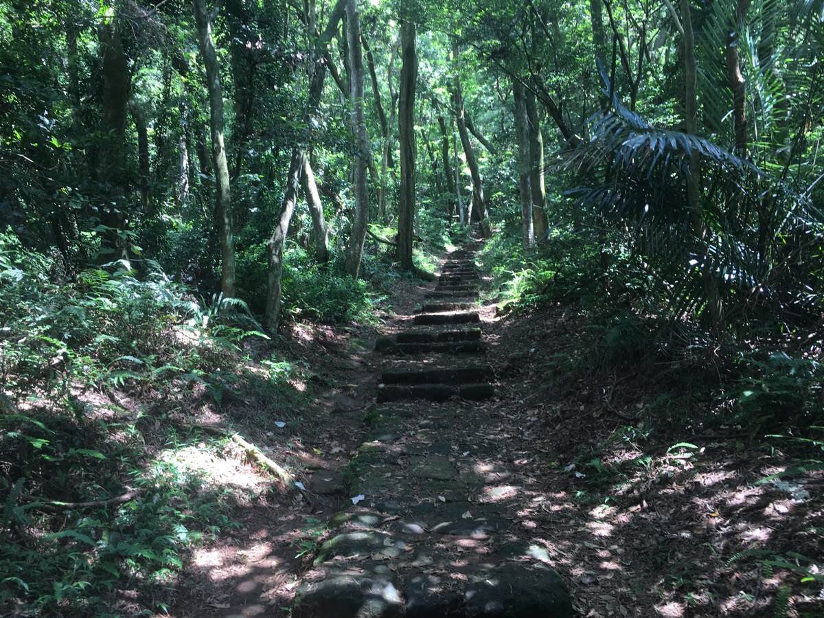
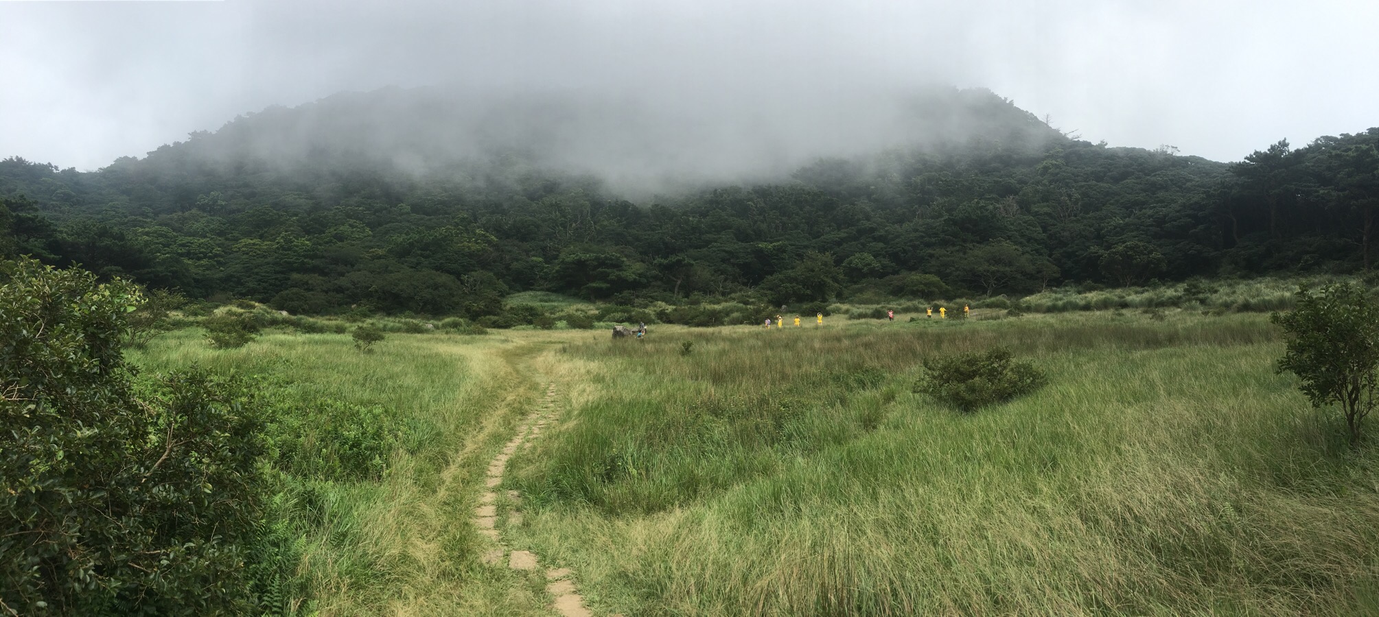
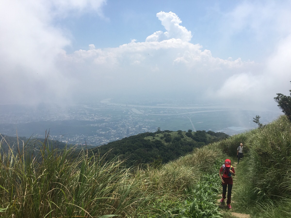
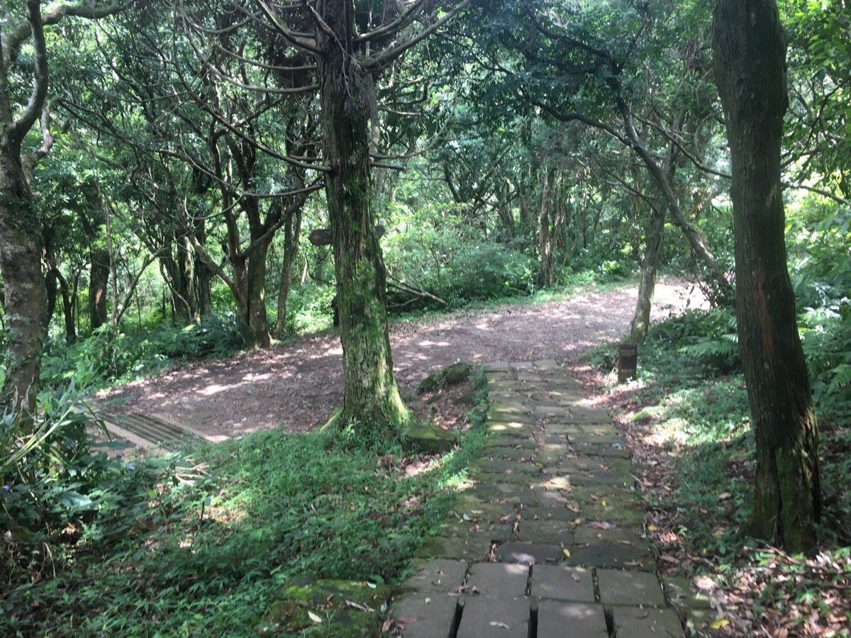
The path from here to Xiangtian pond was well maintained and easy to follow. It was also relentless uphill. After about ten minutes of climbing, I passed a couple of walkers making their way down. When I asked where they’d walked from, they said they’d started from the same place as me, only much earlier, and were on their way back. Another fifteen minutes in, I came across a large group say around taking a break from all the climbing. This was a very pretty forest walk considering that the trail surface was maintained to whole way, especially as the trees become larger and more knarled.
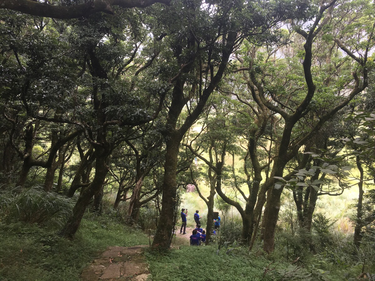
Just as the path crested the ridge surrounding the crater of Xiang Tian Chi (向天池), the sound of many people chattered enlivened what had been a, so far, very quiet walk. There was a group of maybe 30 or so hikers sitting around eating – the ones nearest the path were busy discussing why some people have sore muscles the day after a hike. I didn’t stay to find out the answer, but I should have – it might have spared my aching butt on Monday. From the crest, the path drops a little into the crater basin. Here there was another group of people observed some religious activities playing out in the grass.
Several people dressed in yellow were doing some chanting and making dance-like movements. I had to walk past them to get to the path beyond the crater, and when I was close I could hear that they didn’t seem to be speaking either Mandarin or Taiwanese in the songs, (although when I passed by more of them later they were definitely talking Taiwanese).
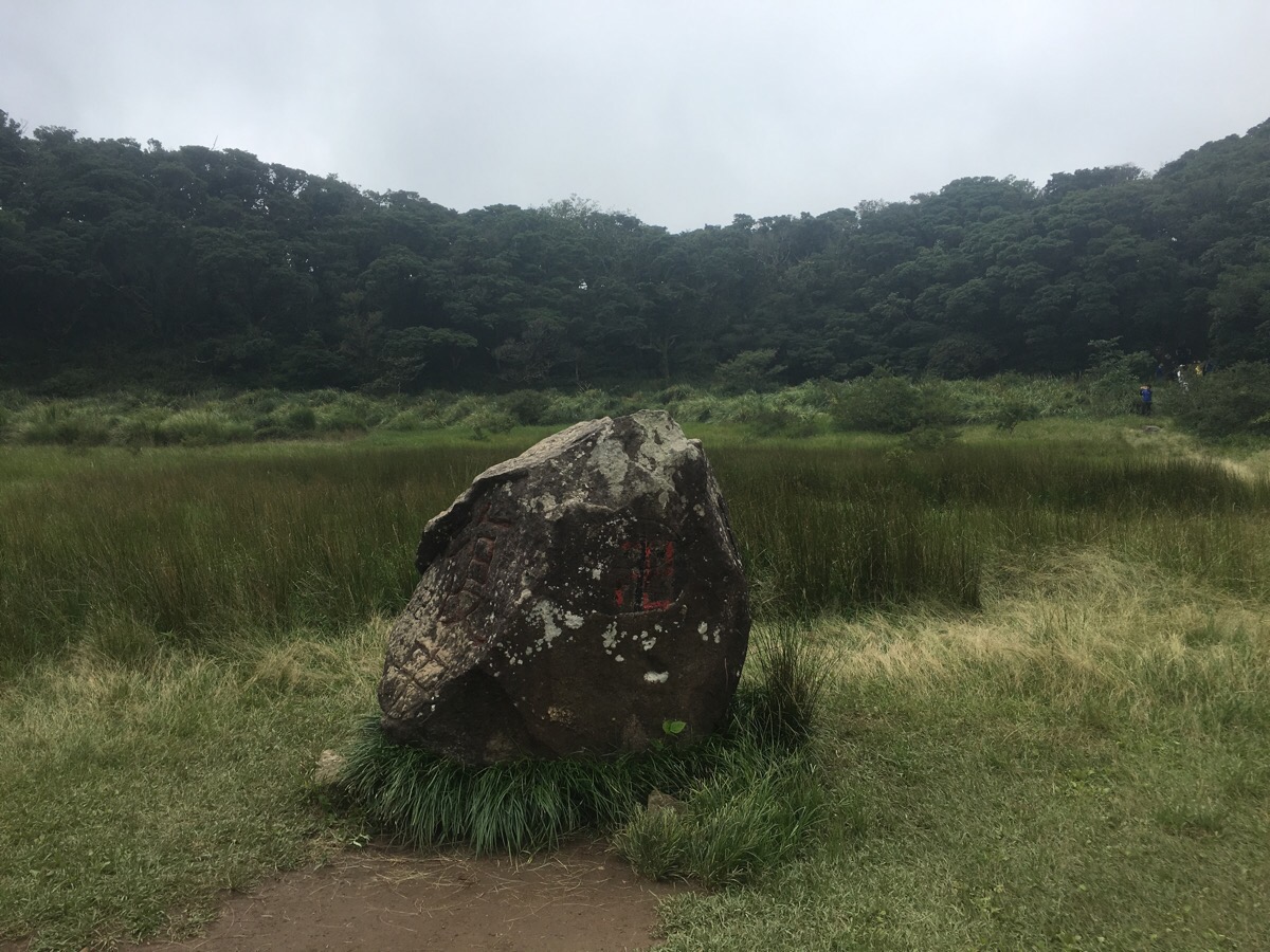
In the middle of the crater, there is a large boulder which has been carved into. A quick look at the location on Google Maps will show you the rock standing surrounded by water. According to a nearby sign, the pond can reach depths of five metres after heavy rain, (that seems unimaginable when you see it on a dry day), but since the ground beneath the hollow is porous, water doesn’t stay for long. Evidently these conditions are no barrier to life since there are at least two kinds of shrimp which survive here; one is the clam shrimp, and the other is a fairy shrimp. Both of them are kind of cute looking – if you like crustaceans.
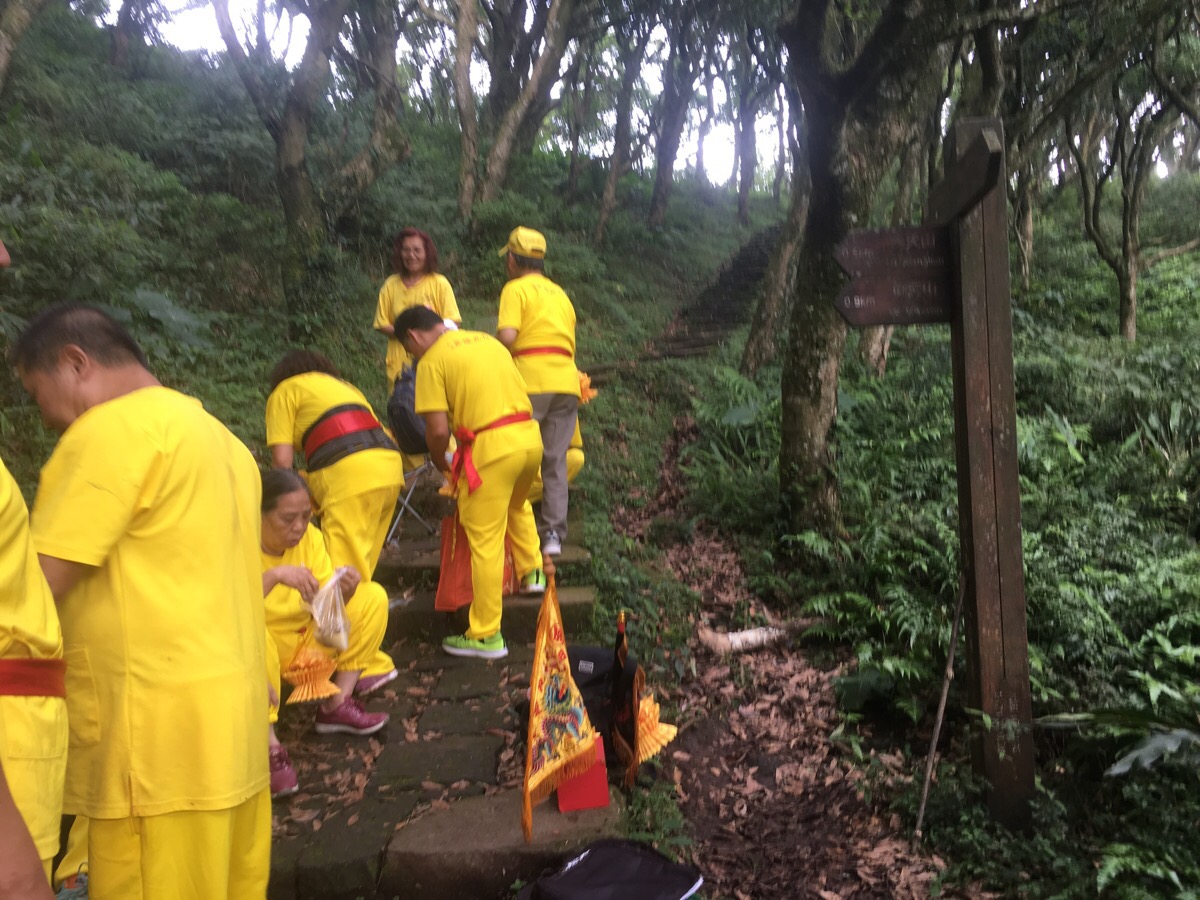
There seemed to be a path running all around the pool, but I went through the middle then veered to the right a little. As soon as I’d left the treeless area, I ran into a large gathering of yellow-clothed individuals. They had kind of taken over the path, so I dodged them as I went left following the signs to Miantian Shan.
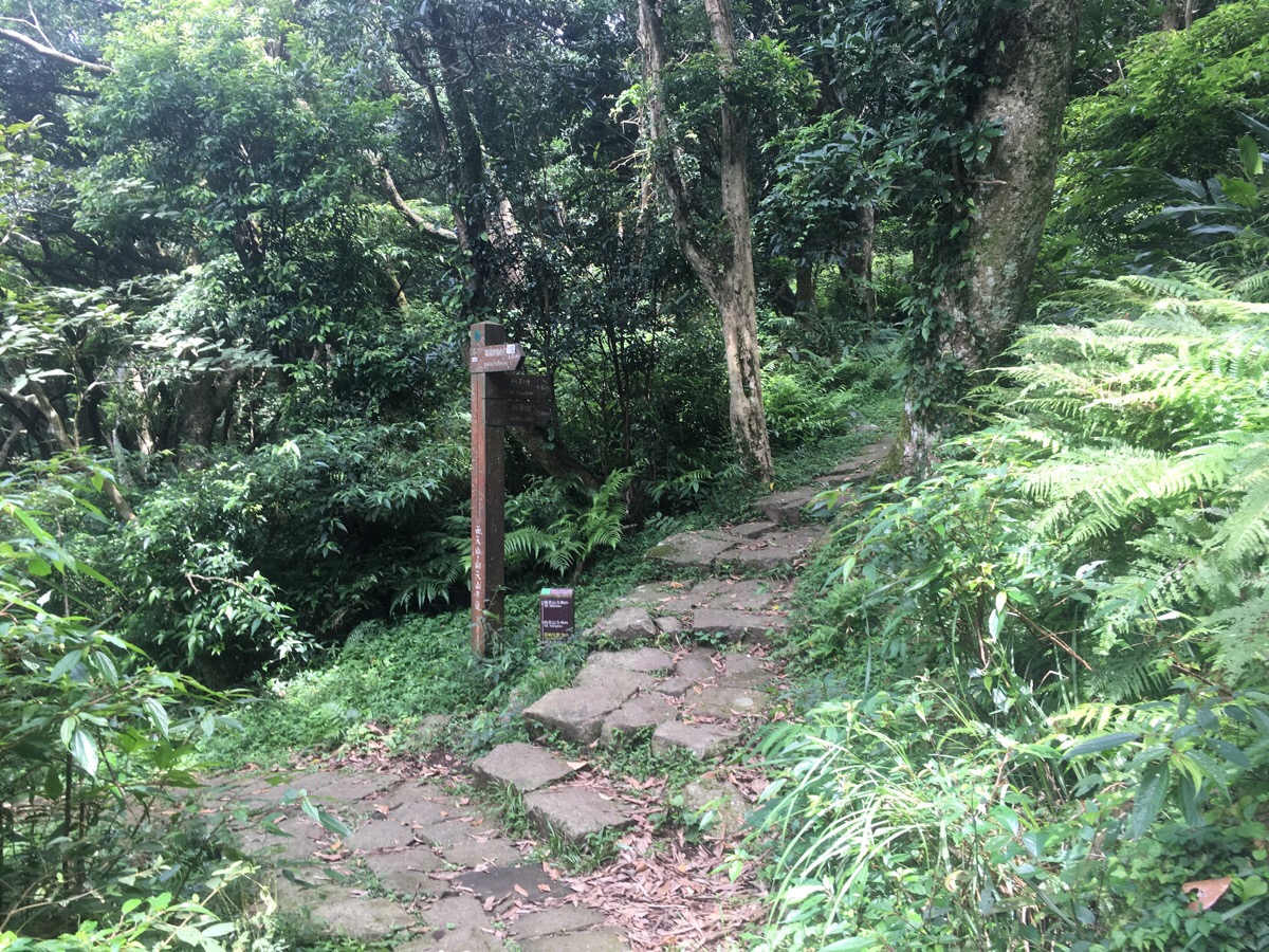
The path hugs the curve of the crater, although you can’t really see it through the trees. At the next junction, I sat on the step to have a quick snack before taking the steps up towards Mount Miantian. Whilst I was eating, a woman passed me looking perplexed. She came back and looked at the sign again, so I asked her where she was heading – the same place I was – so I advised her which way to go, and we spent the next hour or so leapfrogging each other as one of us would stop to enjoy the view or catch our breath.
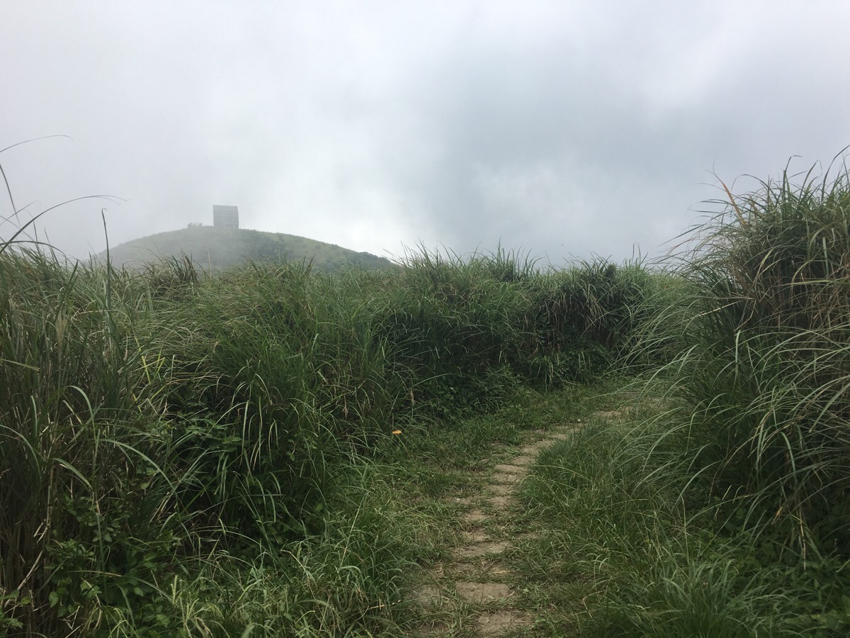
After a fifteen minute climb, the trees drop back and are replaced by tall grasses. Not far from where the view opens out is the marker for xiang tian shan (向天山). It’s not especially noteworthy, so I just kept walking.
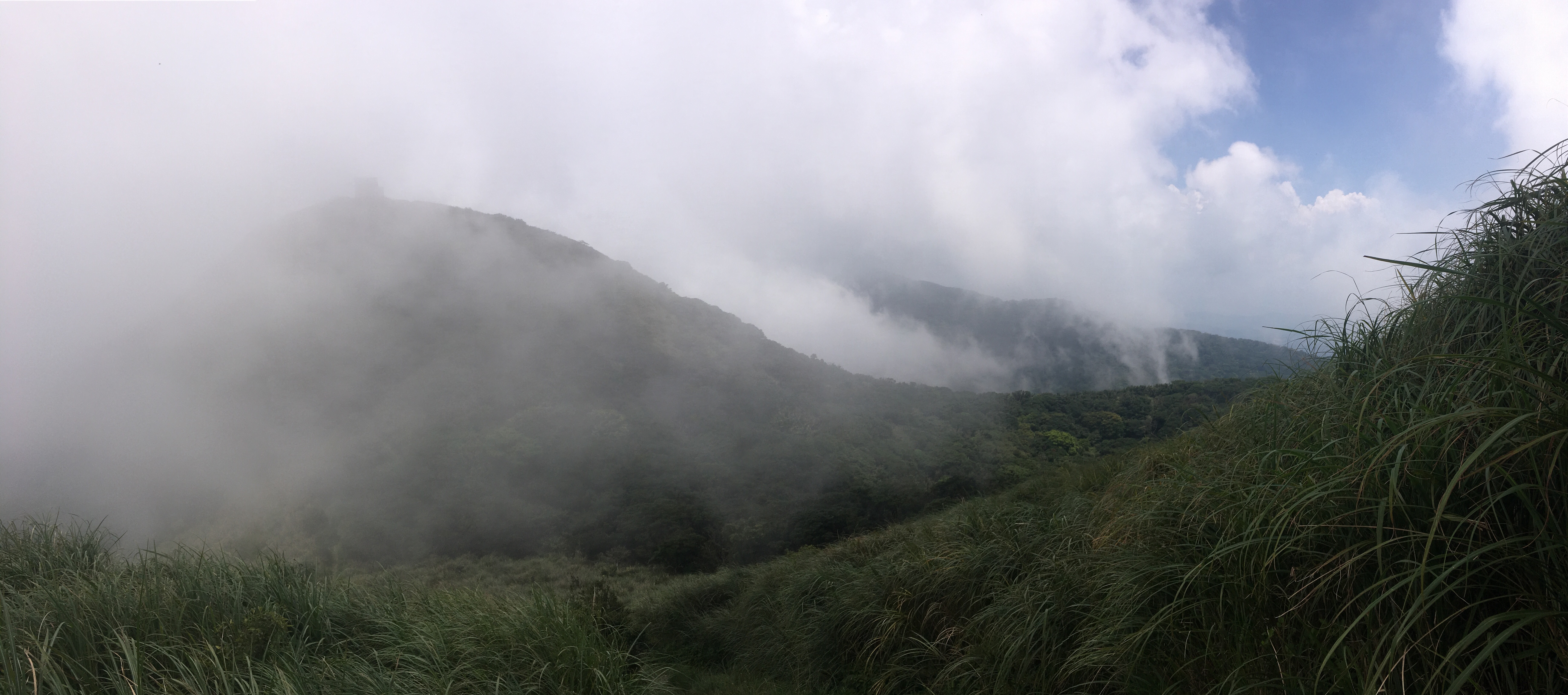
As I started to head down into the dip between xiang tian shan and mian tian shan, the clouds rolled through, shifting to hide and reveal the view of where I was headed.
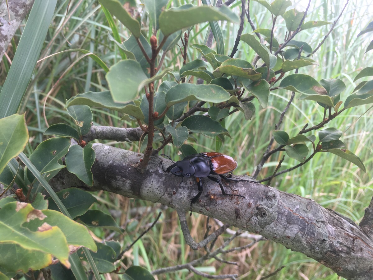
On the way up, I’d seen a couple of these rather charming stag beetles, (Neolucanus Swinhoei Bates). The others had all been in less well lit places though, so I wasn’t able to photograph them. The lower part of the shell is an amazing polished-mahogany colour, and the others that I’d passed had reared up in self defence when I’d got too close. (Don’t worry if you encounter these, they are harmless, but they might fly away if disturbed.)
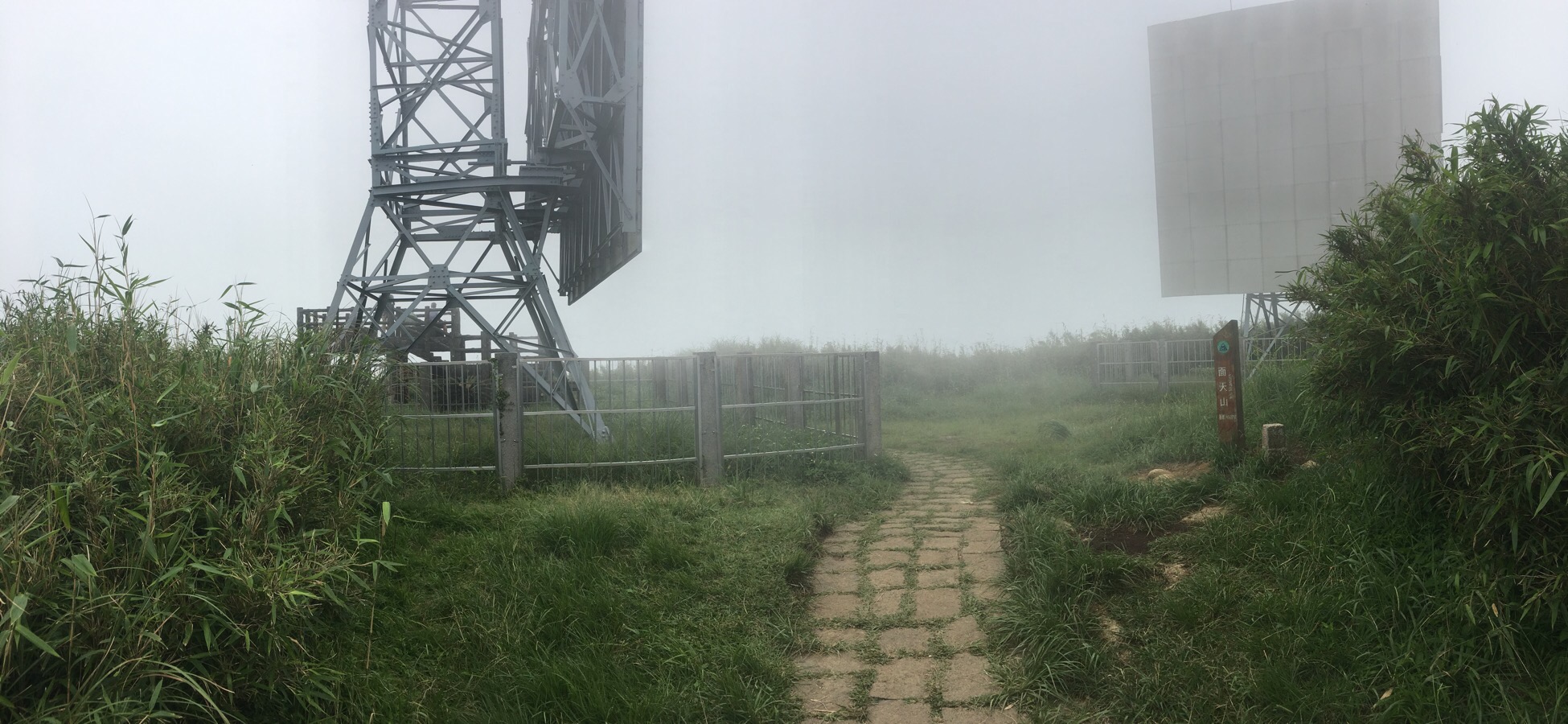
A short, steepish trail climbed up to mian tian shan. You know when you’ve arrived at the top when you’re greeted by two huge reflective boards. These are passive repeaters – essentially just large reflective surfaces which allow signals to be transmitted through areas which would otherwise be blocked. Walking between them, you can take time to rest and enjoy the views from a lookout point. However, when I was there, the view was mostly just white.
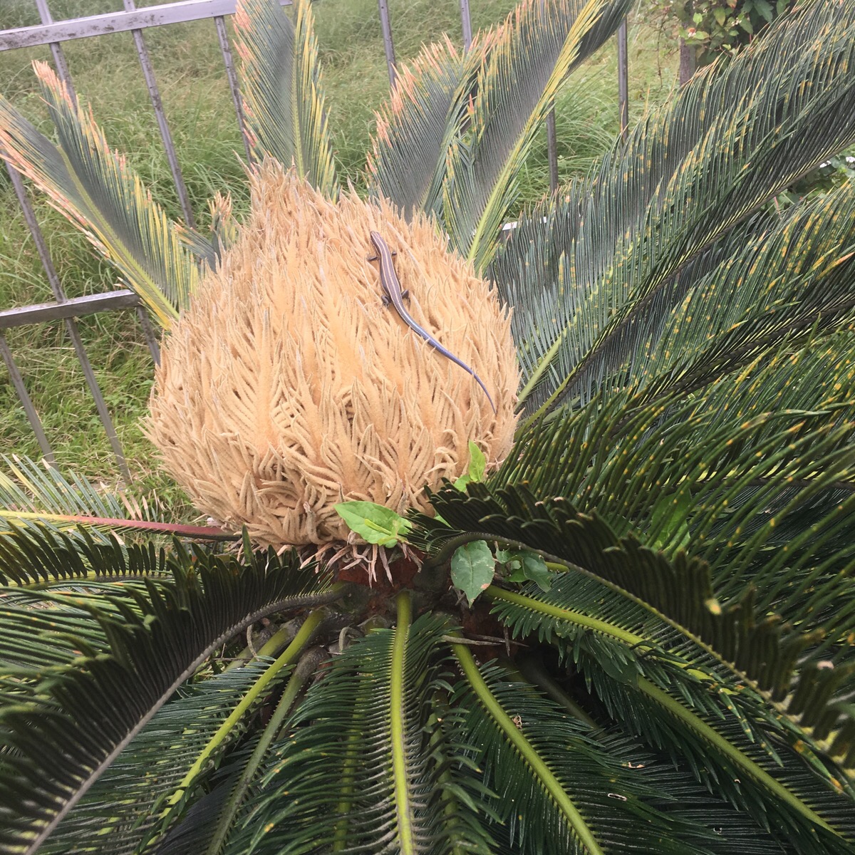
The one interesting think I was able to spot from the viewing platform was this rather faded, (but still magnificent), elegant five-lined skink. I have never seen one with colours quite so dull, so I imagine that it must be a veritable Methuselah of it’s kind. This one was catching some sun atop a sago palm, but there were more of this type of skink near the top of h=this mountain than I’ve ever seen in one place before.
After having a little snack at the top, I continued my journey towards Erziping. The views as the path turns a corner just down from the top are fantastic. This exposed section doesn’t last long though, and I was soon back under the shade
The steps level out onto a dirt track, and I headed left following the signs to Erziping. From this point onwards I passed quite a lot of people heading in the other direction.
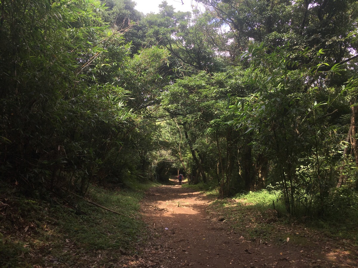
Actually, there is a choice to either follow the dirt track, or to take a narrow footpath which runs kind of alongside the track. I decide to stick to the wider road, since the stones that comprised the surface of the footpath were that terrible, slippery type that seem incredibly common on the paths all over Yangmingshan Park.
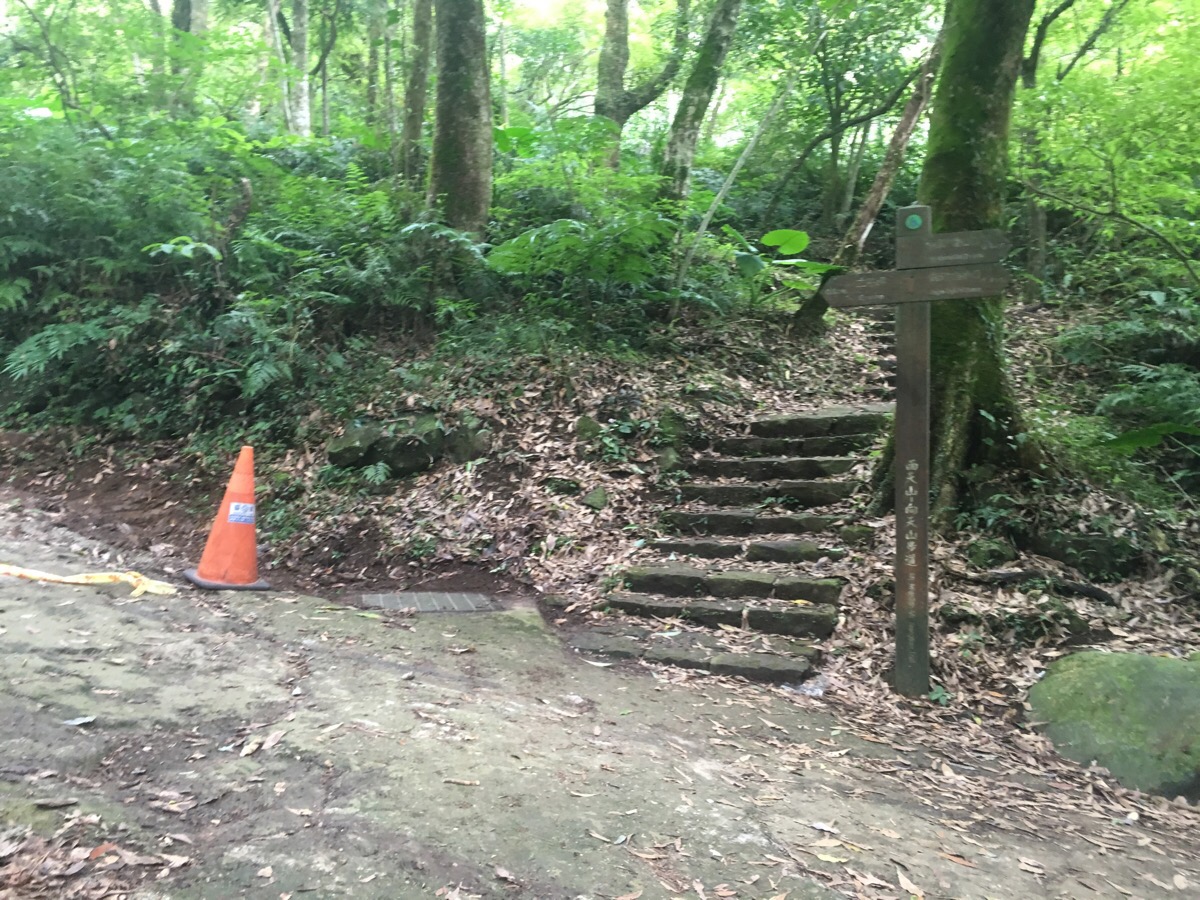
Eventually though, I had to take the path when it headed up some steps to the right, (the road/track was under construction). From here it is a very short walk to Erziping.
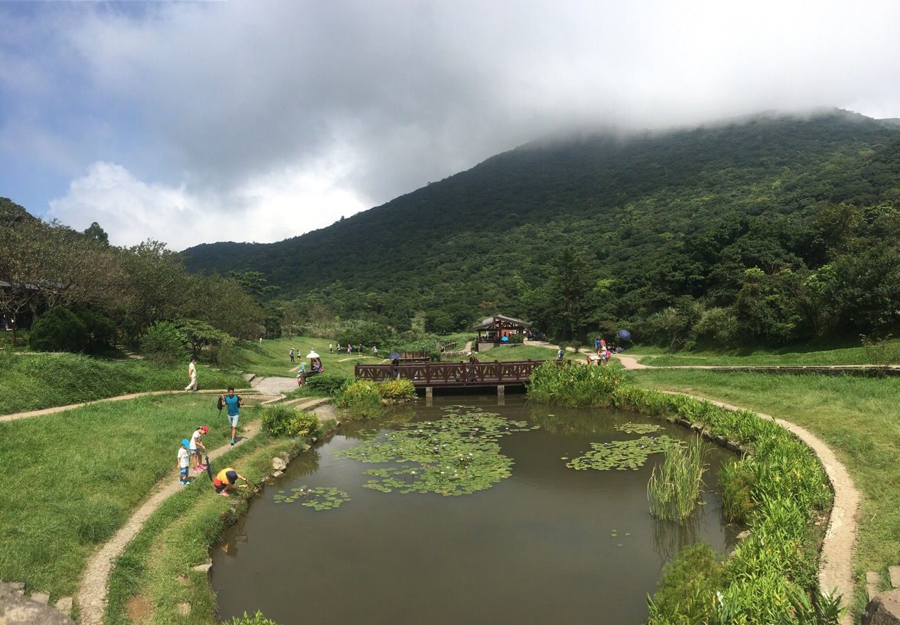
It was my first time to make it out to this corner of the park. It is indeed beautiful – especially when framed by moody clouds and lit by mountain sunlight. It certainly seemed to be popular with local families.
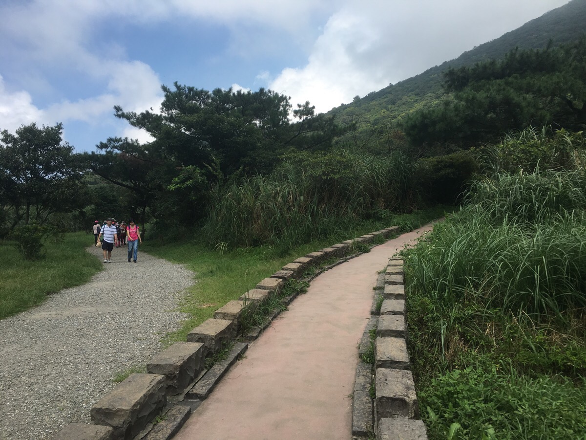
Despite the beauty, I felt somewhat overwhelmed by the sudden increase in the number of people, so I didn’t stick around to explore. Instead, I took the Erziping trail back to the visitor centre. This has apparently been designed as a barrier-free place in which to enjoy nature. What that means is that there is a wide, flat gravel track, as well as a smooth walkway which winds a little high through the trees. I took the higher route until it reconnected with the flatter path again.
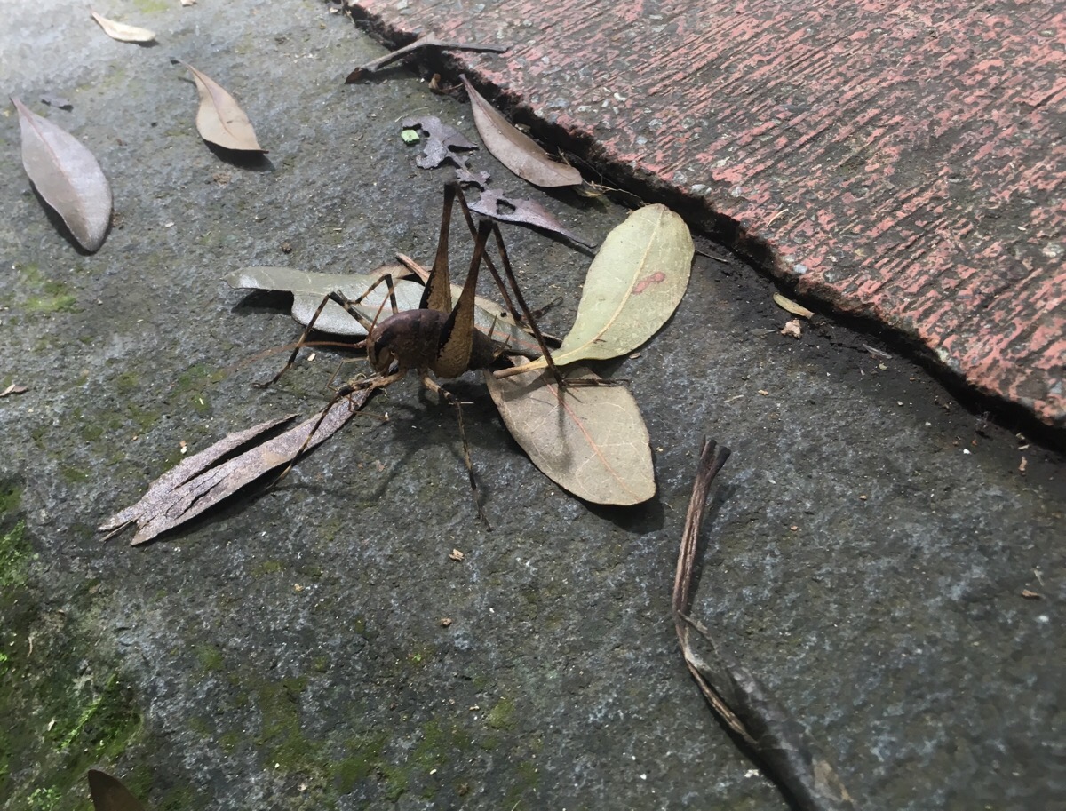
Shortly before arriving at the car park and visitor centre, I saw this strange looking insect on the ground. It is clearly designed to hop, so a cricket or a grasshopper of some kind, but I’ve not seen one quite like it before. The bus was pulling in to the car park just as I arrived, so I quickly climbed on and rested as it took me back to Yangmingshan bus depot.
How to get to Mount Miantian Trail
Google maps address: the Xinfu Liao trailhead is here: 真聖宮, 251, New Taipei City, Tamsui District, or to do the walk in reverse, start from the Erziping Visitor Centre.
GPS location: the Xinfu Liao trail head is at N25 09.960 E121 29.570.
Public transport: the F101 bus runs between Tamsui and Xinfu Liao (興福寮), but since there aren’t many services per day, I took the S6/小6 from outside Beitou station. Both the downhill and uphill services stop at the same place, so make sure to get on the uphill one (it will have 上山 displayed on a card in the windscreen). Get off at the final stop: Qingtian Temple, and walk along the road to the trailhead, (or take the path behind the temple and connect up with the Xiangtian Chi path later). Coming back, the S108 (make sure you get the correct one, not the one headed to Qingtiangang), departs from Erziping and terminates at Yangmingshan bus depot, from there you can catch buses back to Shilin (R5), or all the way to Taipei main station, (260).
Nearby trails:
- Guizikeng Trail
- Mount Datun Multi Peak Trail
- Taipei Grand Hike sections one and two
- Taipei Skyline Trail – Section 6B
Further reading: The Yangmingshan Park website has this walk listed here. The site covers a few basic details, but my favourite part is what is and isn’t deemed part of your essential kit:

Mount Miantian Trail Map
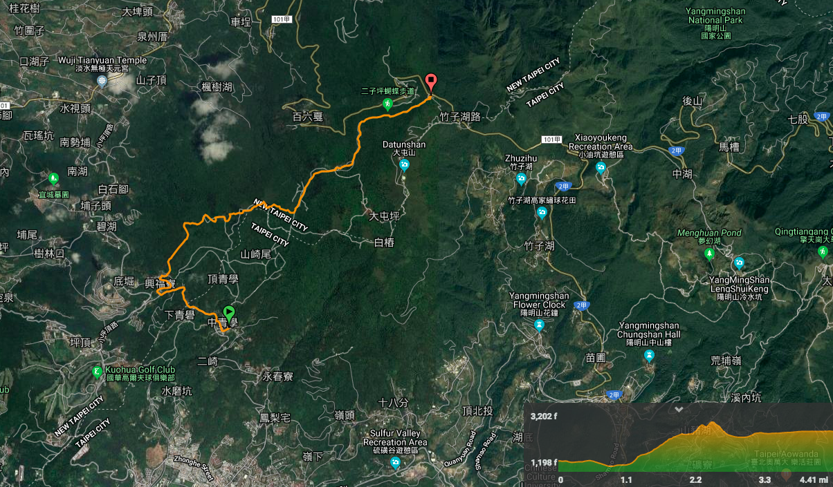
GPX file available here on Outdoor Active. (Account needed, but the free one works just fine.)

Pingback: The Ultimate Hiking Guide to Yangmingshan National Park - Taiwan Scene | Online Travel Magazine