
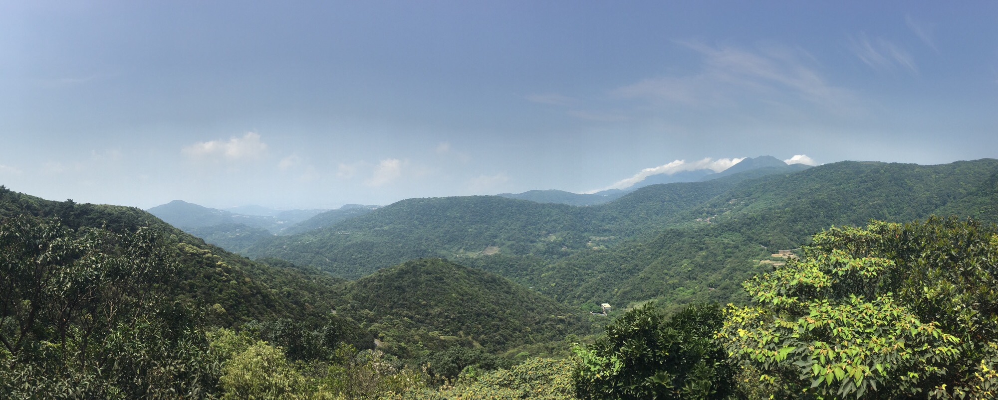
The fourth installment of the Taipei Grand Hike takes you to some beautiful and quiet corners of Yangmingshan National Park, as well as some of the more popular scenic spots in Neihu. The best thing about this portion is that it has an abundance of water, from the natural and charming stream running alongside Shuangxigou Old Trail, to the manmade Sweet Water Lake, and the easily accessible Yuanjue waterfall.
DISTANCE: The official guide lists this section as being about 14km long, and 14.8km was what I recorded on my tracker, but almost a kilometre of that was me getting sidetracked up to Liyu Shan.
TIME: Including quite a lengthy break at Bishanyan, it took me about 5½ hours from start to finish. The website suggests allowing 6-7 hours, but it might take a little longer if you need to find your hiking legs.
DIFFICULTY (REGULAR TAIWAN HIKERS): 3.5/10 – for distance, the fact that you need to watch where to put your feet, and a few signage problems. Aside from that, it’s nothing taxing.
DIFFICULTY (NEW HIKERS): 7/10 – novice hikers will need to pay attention to the same things as people more used to hiking in Taiwan, but finding the right path is likely to be the toughest part of this walk. Otherwise, remember to pay attention to the walking surface, and start early to give yourself plenty of time.
TOTAL ASCENT: Since this section starts out higher than it finishes, the overall elevation loss is greater than the gain. However, my tracker seems to have recorded some very odd results for this, so I’m not sure they’re worth sharing. Suffice to say that there is some climbing, but there is more heading downhill.
SIGNAGE: Not amazing on this section. I only went the wrong way once, but that was more because I knew where I should be going than because the signs were great elsewhere.
WATER: As with all these walks, I filled my 3L water bladder, but I think I still had about 2L left by the time I finished.
SHADE: On and off, the road sections don’t have any shade, so I needed my umbrella
MOBILE NETWORK: A bit hit and miss – I noticed the network drop out in a number of places.
ENJOYMENT: 7/10 – The highlights of this section for me were the mountain stream at the start, (minus the spiders), the view from Bishanyan, Baishihu suspension bridge, the lake hidden amongst the trees, and the lovely walk back along the stream running down from Yuanjue Waterfall.
SOLO HIKE-ABILITY: I wouldn’t recommend this one to solo hikers unless you’re already confident and familiar with Taiwan’s hills. Whilst not the most difficult or dangerous, this is probably the least trafficked section of the trail, and that will bring its own set of risks. If you do go it alone, make sure someone knows where you’re going.
OTHER: You should probably take some snacks to keep you going, although if you go at the weekend, there should be lots of cafes open around the suspension bridge and the strawberry farms.
TAIPEI GRAND HIKE PHOTO POSTS: Only one if you don’t head up to Feng Gui Zui At the start. (You can get that one when you do the Qixing Shan section.) The ‘南’ character is located at the entrance to Daxigou Waterside Park.
TAIPEI GRAND HIKE OFFICIAL ROUTE:
- Feng Gui Zui / 風櫃嘴
- Feng Gui Zui Trail / 風櫃嘴步道
I skipped these first two, I’ll add them to the Qixing Shan section.
- Wanxi Agricultural Road / 萬溪農業道路
- Shuangxigou Old Trail / 雙溪溝古道
- Meihua Shan / 梅花山
- Bi Shan / 碧山
- Da Lun Tou Trail / 大崙頭北面步道
- Sweet Water Lake / 甜水鴛鴦湖
- Wishing Trail / 許願步道
- Bishan Road / 碧山路
- Houhu Wetland / 後湖濕地
- Baishihu Suspension Bridge / 白石湖吊橋
- Bishanyan Kaizhang Shenwang Temple / 碧山巖開漳聖王廟
- Yuanjue Temple / 圓覺寺
- Yuanjue Waterfall / 圓覺瀑布
- Yuanjue Waterfall Trail or Yuanjue Temple Trail / 圓覺瀑布步道 or 圓覺寺步道
- Yeh Ancesteral Temple / 全臺葉姓祖廟
- Dagouxi Waterfront Park (nán) / 溝溪親水公園
- Dahu MRT Station / 捷運大湖公園站
OPTIONS FOR SPLITTING THIS SECTION: Bishanyan seems to be the only viable place for splitting this section. You can catch a bus back to Neihu from near the suspension bridge.
MAP:
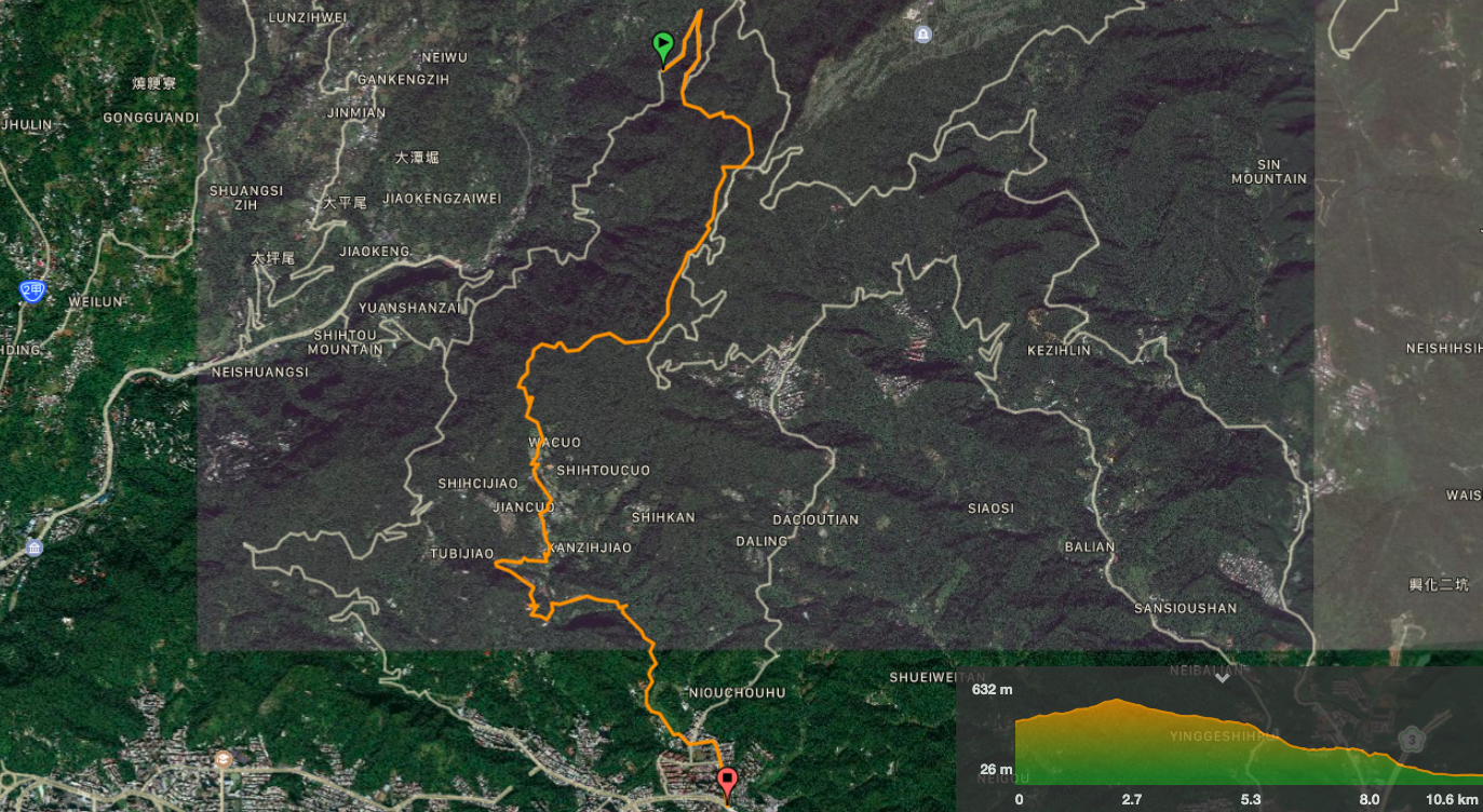
GPX file available here on Outdoor Active. (Account needed, but a free one works just fine.)
DIRECTIONS:
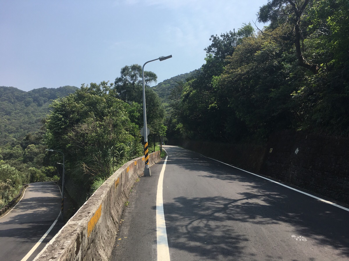
00:00 – Just like the last section of the Taipei Grand Hike (TGH) that I walked, this one kicked off with a nauseating trip up the windy mountain roads. The driver grumpily admonished a couple of passengers for pressing the alarm too late, and when the Feng Gui Zui stop was approaching he gave us a mini lecture about the fact that if we planned to visit Feng Gui Zui itself, then we would have to get off here and walk up by ourselves.
00:06 – The steps up to Feng Gui Zui are tucked into the corner of a bend. Since the next section of the TGH will take me past this point, I decided against being a completist (this section is meant to start from Feng Gui Zui), and instead just continued up the road as it winds right.
The road climbs gradually, and there is a waterfall just to the left of the road about half way up.
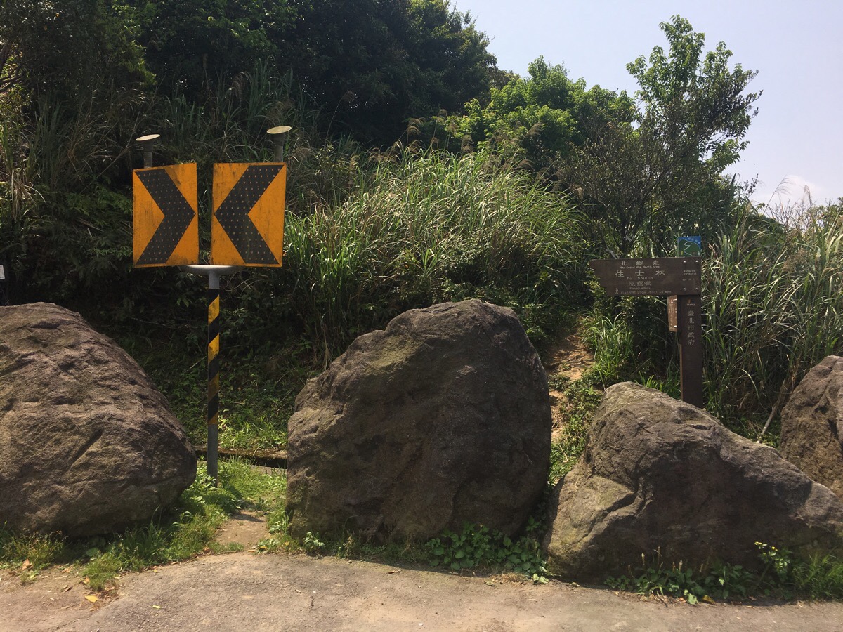
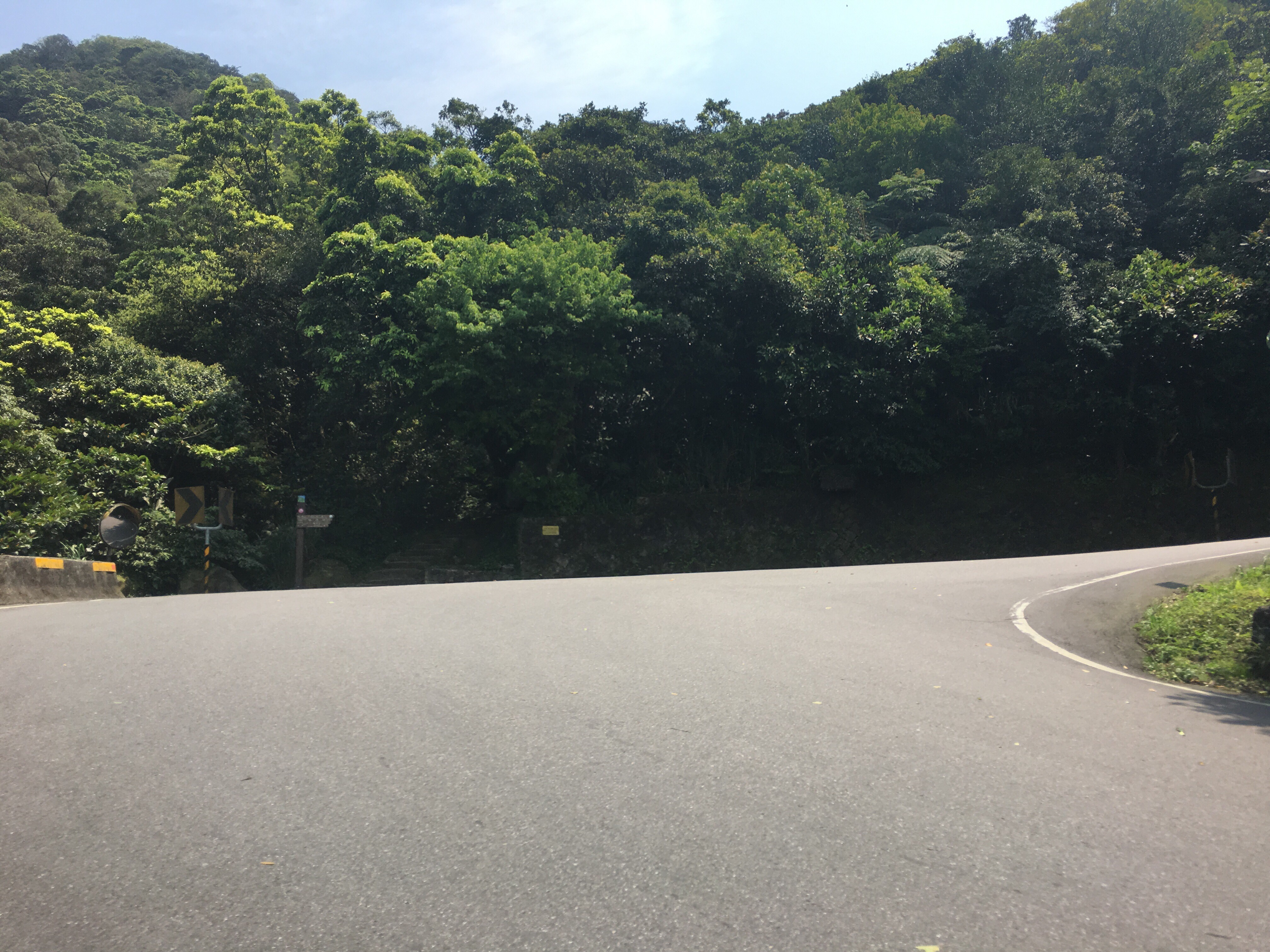
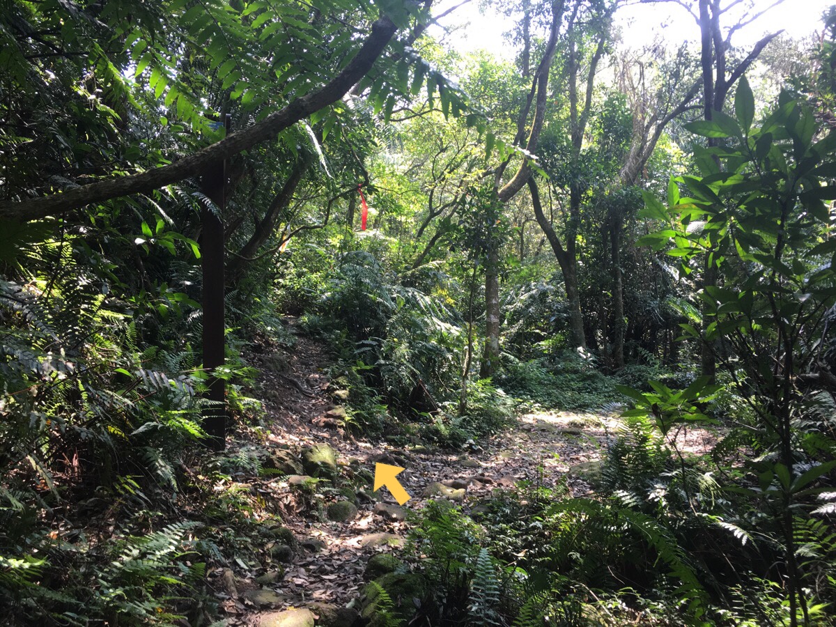
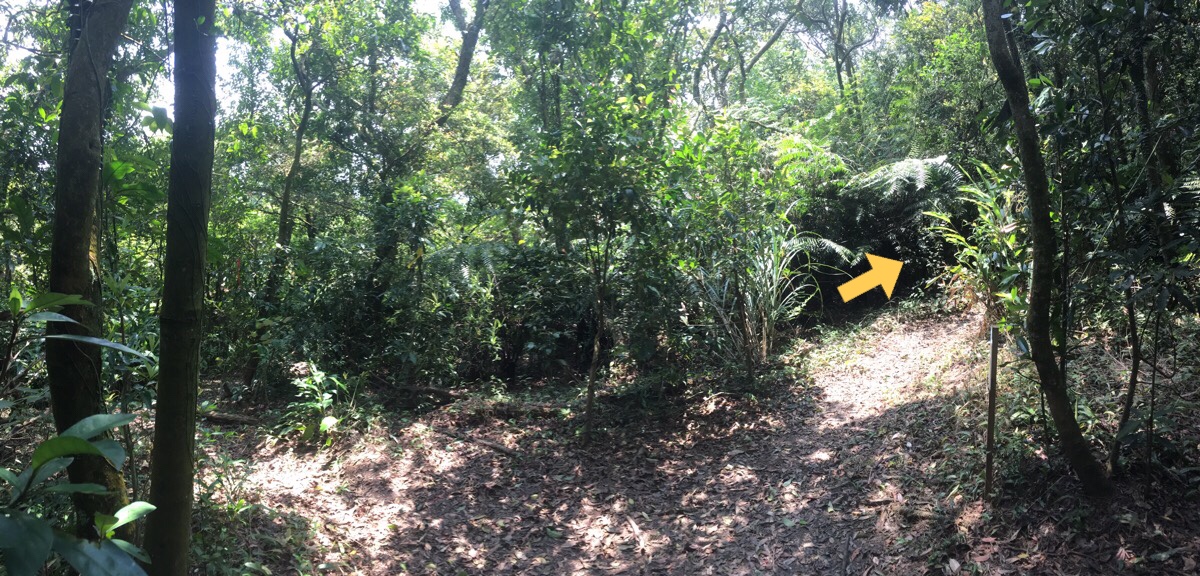
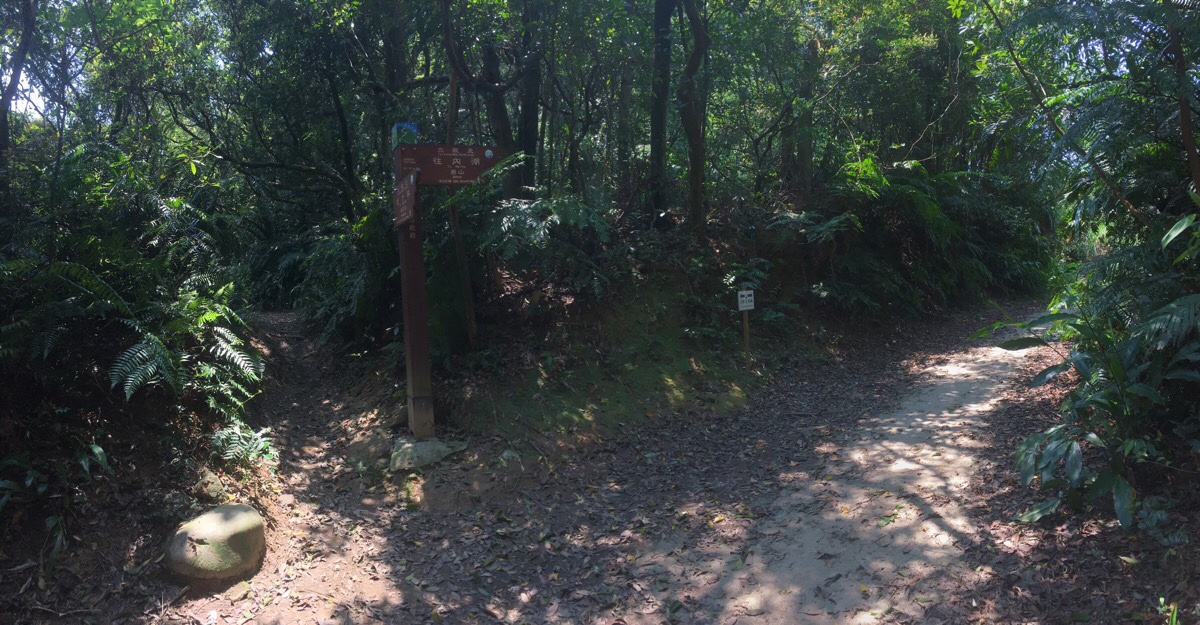
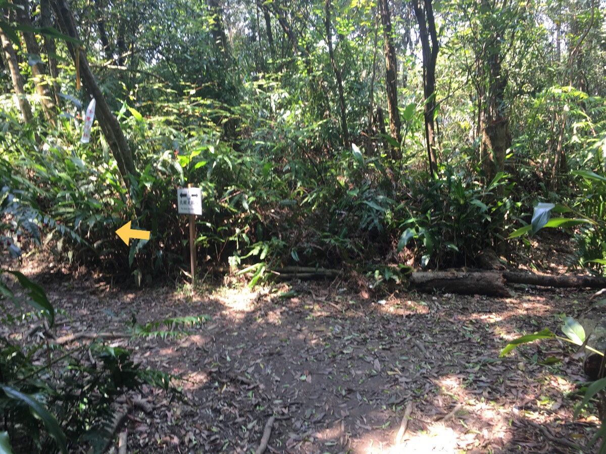
00:16 – At the next 180 degree bend a stand of rocks hides the signpost and the trail leading off the road.
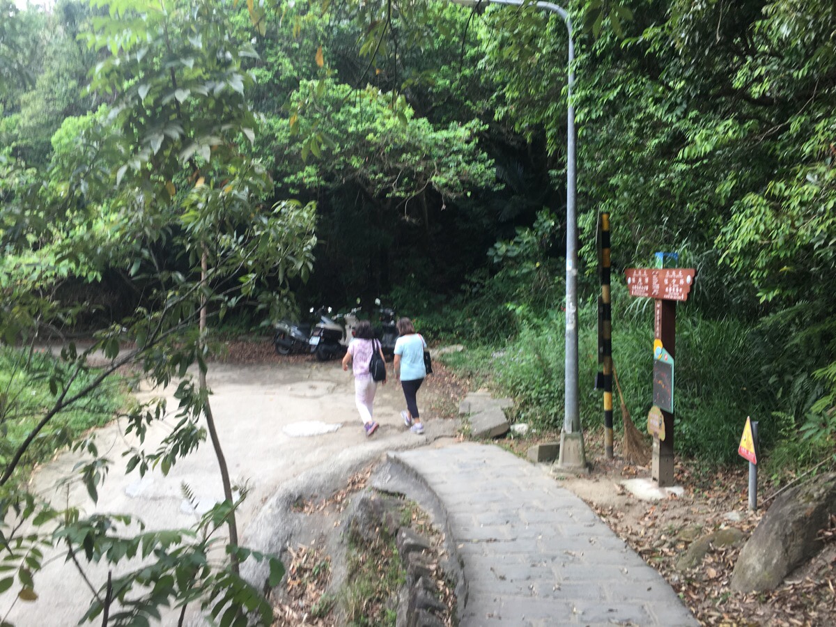
00:19 – Right from the start the path is a lot rougher and more narrow than the sections I’d walked so far, a natural rocky surface and spiders webs strung across between the trees. In fact, there were so many spiders webs that I am pretty sure I must have been the first person to pass that way since the day before.
The progress was pretty slow. I picked up a stick with which I hooked the narrower edge of each web and moved it to one side of the path. There wasn’t anyone around to observe, but if there had been, it would have appeared as if I was doing something like waving a magic wand whilst practising tai chi.
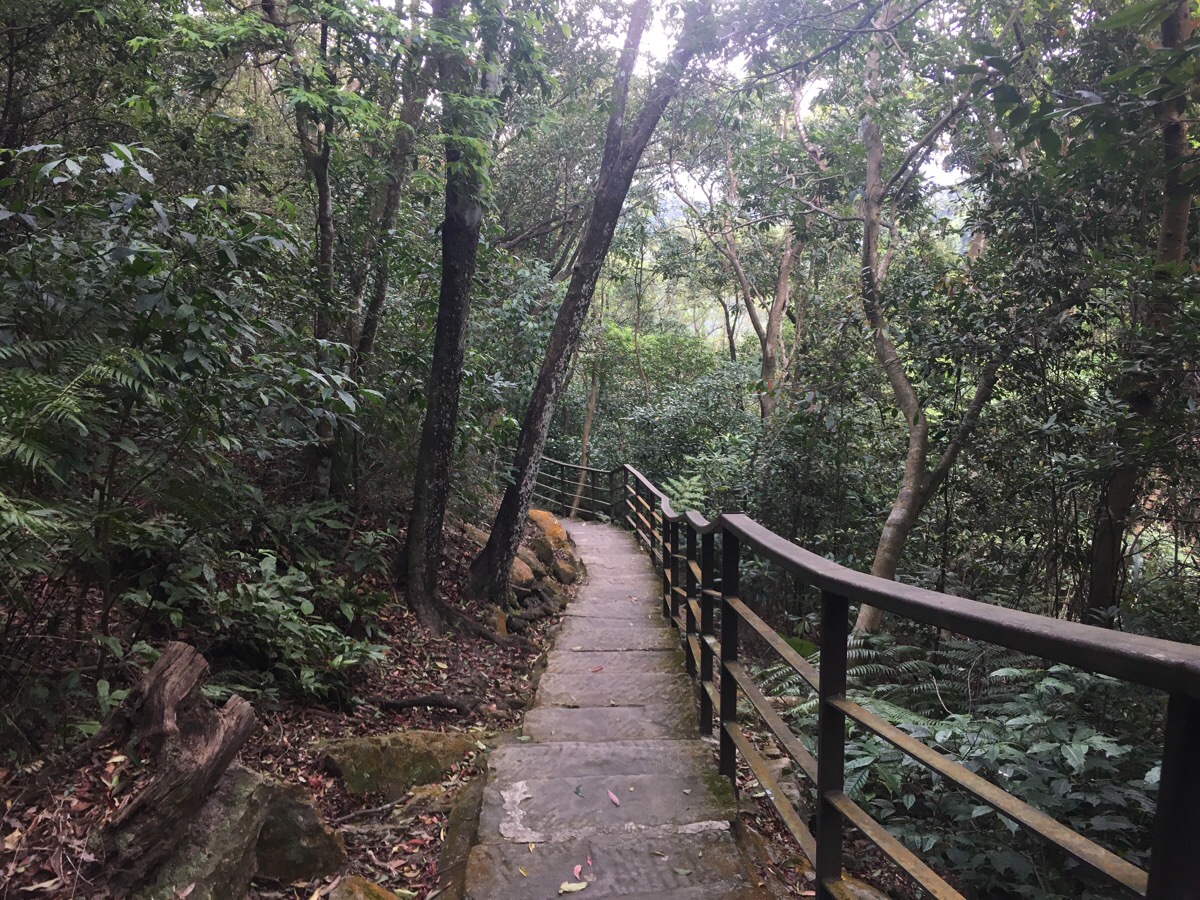
00:28 – Despite the spiders, this part of the walk was really very beautiful. A stream trickled and babbled alongside the path to my right, and the surrounding forest was beautifully lush. At the first junction, a signpost stands to show the right way to go. The right hand fork that I didn’t take is Shaungxigou Old Trail (雙溪溝古道), this looks like it would be a very pleasant walk to try out.
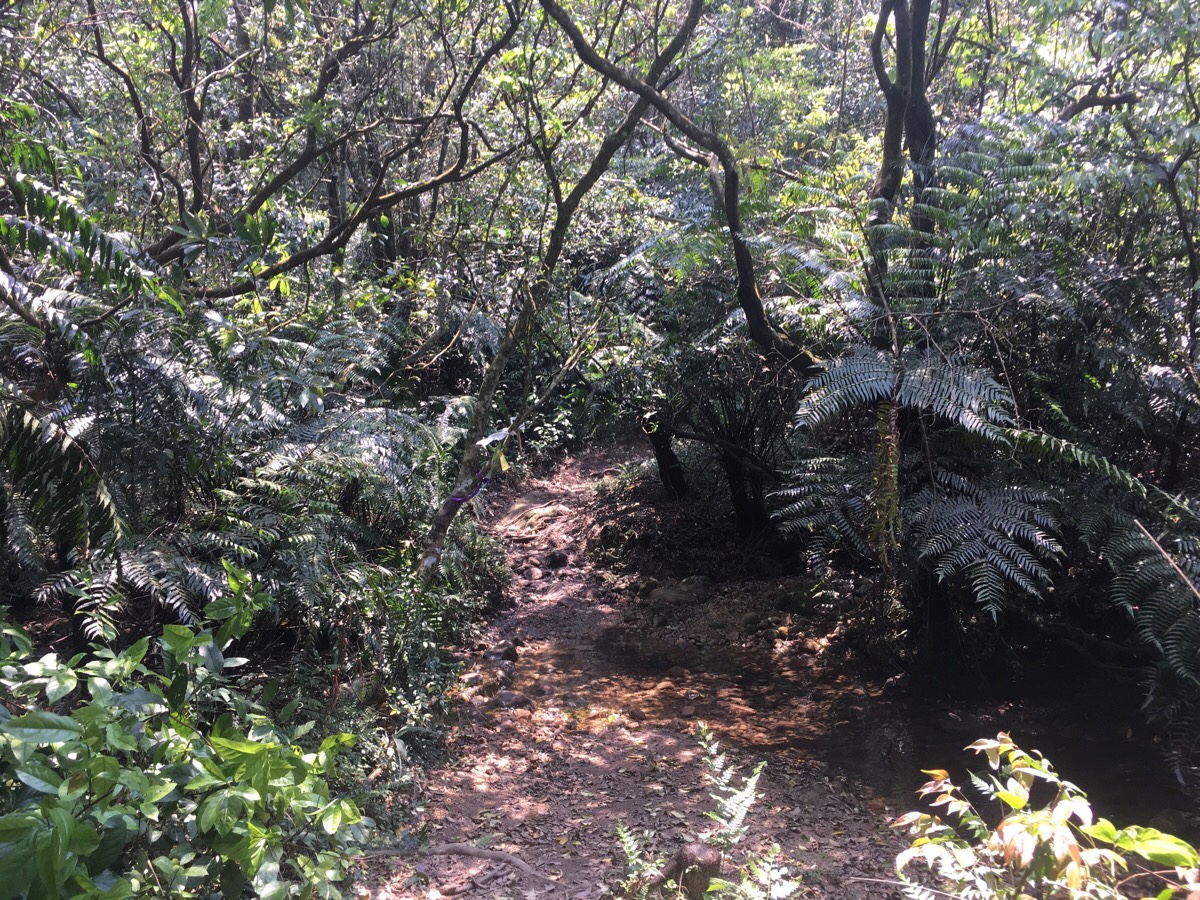
00:38 – At a couple of points you have to step across the stream. When I visited, there hadn’t been any rain for a while, so the water wasn’t covering the stepping stones that had been laid down by previous travellers, but even still, it was impossible to keep my boots dry and I was glad to be wearing fully enclosed, waterproof shoes.
I really wish that I had been the second or third person to pass this way, then I could have spent more time enjoying the beautiful surroundings rather than fretting over all the arachnids in my way.

00:48 – A little ways after leaving the stream behind, a portaloo which has been pushed off the road down onto the trail is the first sign that you’ve reached Wuzhushan Agricultural Road. Although this little strip of tarmac appears to be in the middle of nowhere, there are actually a couple coffee stalls just around the bend to the left. They’re positioned right next to Wuzhi Shan observation pavilion and (if the pictures on their Google Maps pages are anything to go by), they seem to have sprung up in response to the large number of cyclists and bikers passing through the area. I didn’t stop to check them out, but it might be a nice place to grab refreshments before the last little push to the end if you’re doing the walk in reverse.
The path here seems to split in two, with one part following along the road and another heading uphill, but actually they both arrive at the same place. I took the more defined lower route, and after a few metres it turned uphill and away from the road.
00:55 – A signpost at the next junction indicates that the TGH continues to the left, however if you take a very short detour right here (maybe only two or three metres), you will find Mei Hua Shan. I had a quick look, just to say I’d been there, but there’s no view, and it doesn’t even really feel much like a peak, it’s more just a small clearing amongst trees.
01:16 – The following 15-20 minutes was spent waving away more spiders, and doing a demented-looking swipe-at-my-face move every time I failed to spot a web before walking into it. The forest here was thick and surprisingly sheltered from the sounds of the nearby road. The muddy and leaf-strewn floor was also a good indicator of who and what had passed through before me. As well as hiking boots and the odd dog print, I could make out a single mountain bike track and the unmistakable double half-moon shaped tracks left by wild boar. The first set I saw was unclear, so I didn’t fully believe that I’d identified it correctly, but the following ones were all very clear. I was somewhat surprised to find evidence of boar in Yangmingshan park, I thought that wasn’t much in the way of large wildlife left there.
At the junction I met a guy walking the TGH in the opposite direction to me. As with most of the other people I’ve met on different sections of this walk, he was a little confused. We both arrived at the junction at the same time, but the route he had approached it from was not one of the ways that seemed to be indicated by the sign. We chatted a little, and I told him he was lucky because I’d just cleared out all the cobwebs for him.
01:20 – A few minutes further on, I realised how the guy had come to be approaching the previous junction from a different way to me. I arrived at the next fork in the path straight on as of it were a T-junction. Luckily I have an inbuilt compass, so I knew I needed to turn right, but it really isn’t that clear.
Generally I am not phased by this type of thing. I like to get out into the hills, so I make sure I am adequately equipped to find my way. But this is a trail which is being promoted as an event, as a once in a lifetime opportunity (a little hyperbolic, but I suppose it may be true for some), by the local government, so I kind of expect it to be mostly idiot-proofed before being rolled out. I’m sure that there are several places where I wouldn’t have had problems if I were proficient at reading Chinese, but I am certain that my confusion isn’t all attributed to that. The other hikers I’ve talked to with the same problem were all experienced, and particularly familiar with the hills around Taipei. I imagine that some of these issues will be ironed out over the coming months and years though. It’s quite a big project to get right on the first go.
That aside, this junction signalled the blissful start of spider-free walking. The path from here on out is wider and seems to be more commonly traversed.
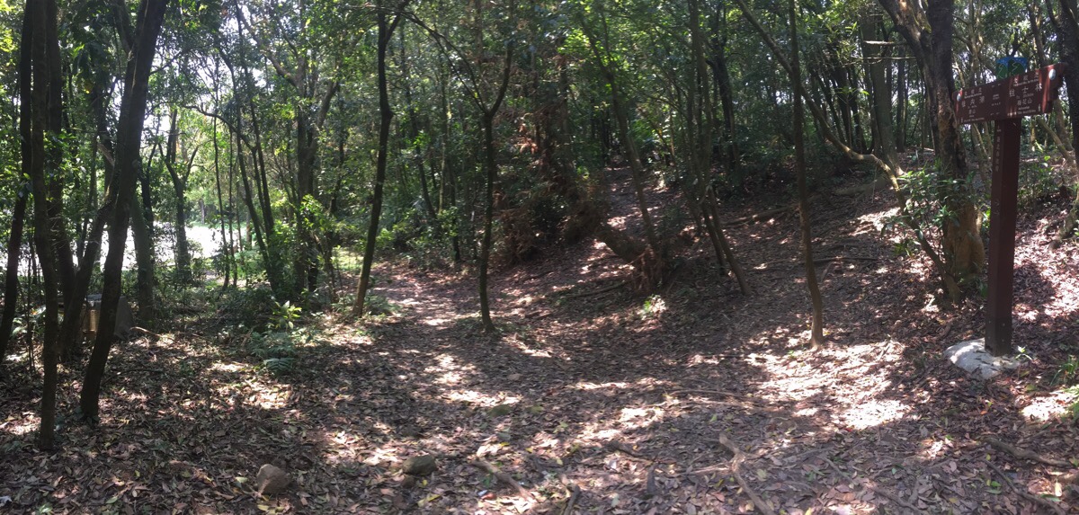
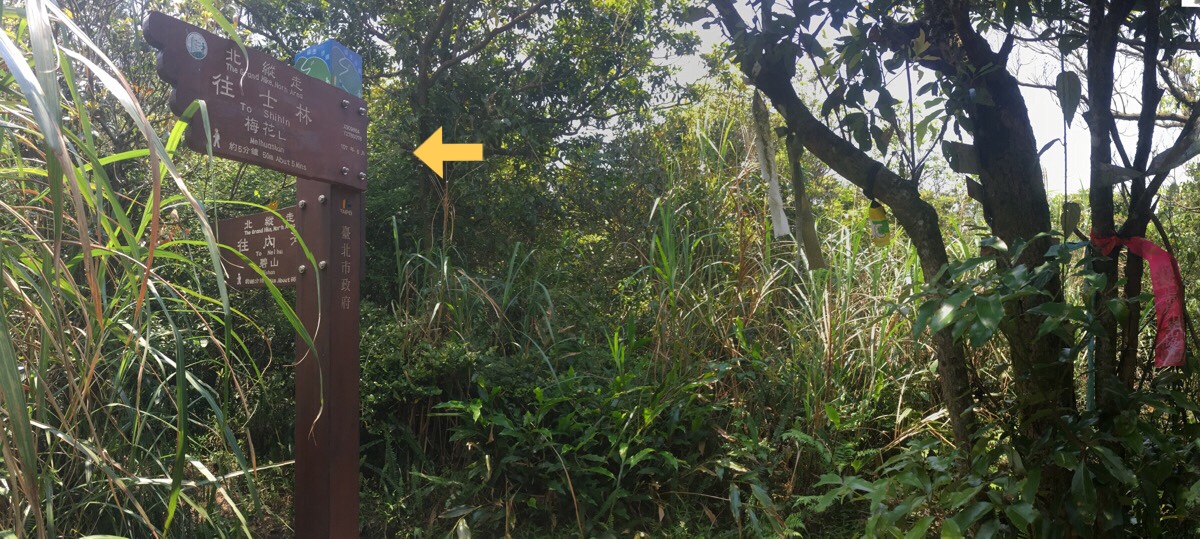
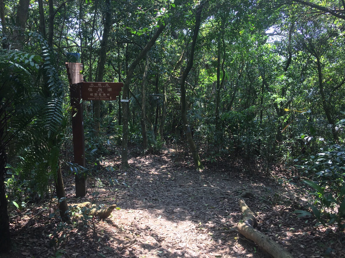
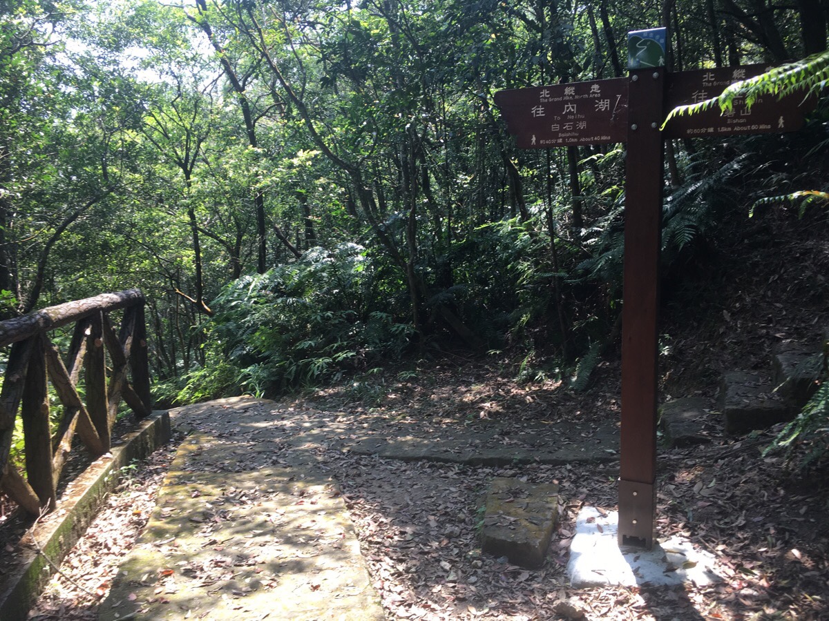
01:24 – The path winds into view of the road again where a sign post directs you straight on and suggests that Bishan is another 40 minutes away. There are a few paths running together here, (one of which is the Shuangxigou Old Trail that I passed earlier joining from the right). Make sure to stick to the one that is signposted.
There is another junction a few minutes further on, but again it is clear which direction to head in.
01:38 – For a while the path changes from bare earth to the moss-covered laid stone which hints at the presence of a historic trail. Here I passed the second person I’d seen since starting the walk, a local woman in her fifties or sixties. We both commented on the fact that the other was walking alone, (aside from a foreign female walking alone, I’d say an older foreign local woman walking alone is perhaps the rarest type of hiker to encounter), so we were both curious about each other. She too was headed in the direction I’d just come from, and she remarked that I’d have quite a way to go before arriving at my destination.
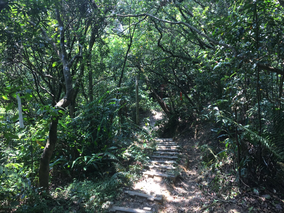
After enjoying the prettiness of the old stone trail for a while, the stones give way to wooden steps as the path starts to climb down a little.
01:39 – The steps lead down to an incongruous and forgotten looking tarmac road cutting through the trees. A signpost here indicates that the path veers right up the concrete for a short way and not straight over.
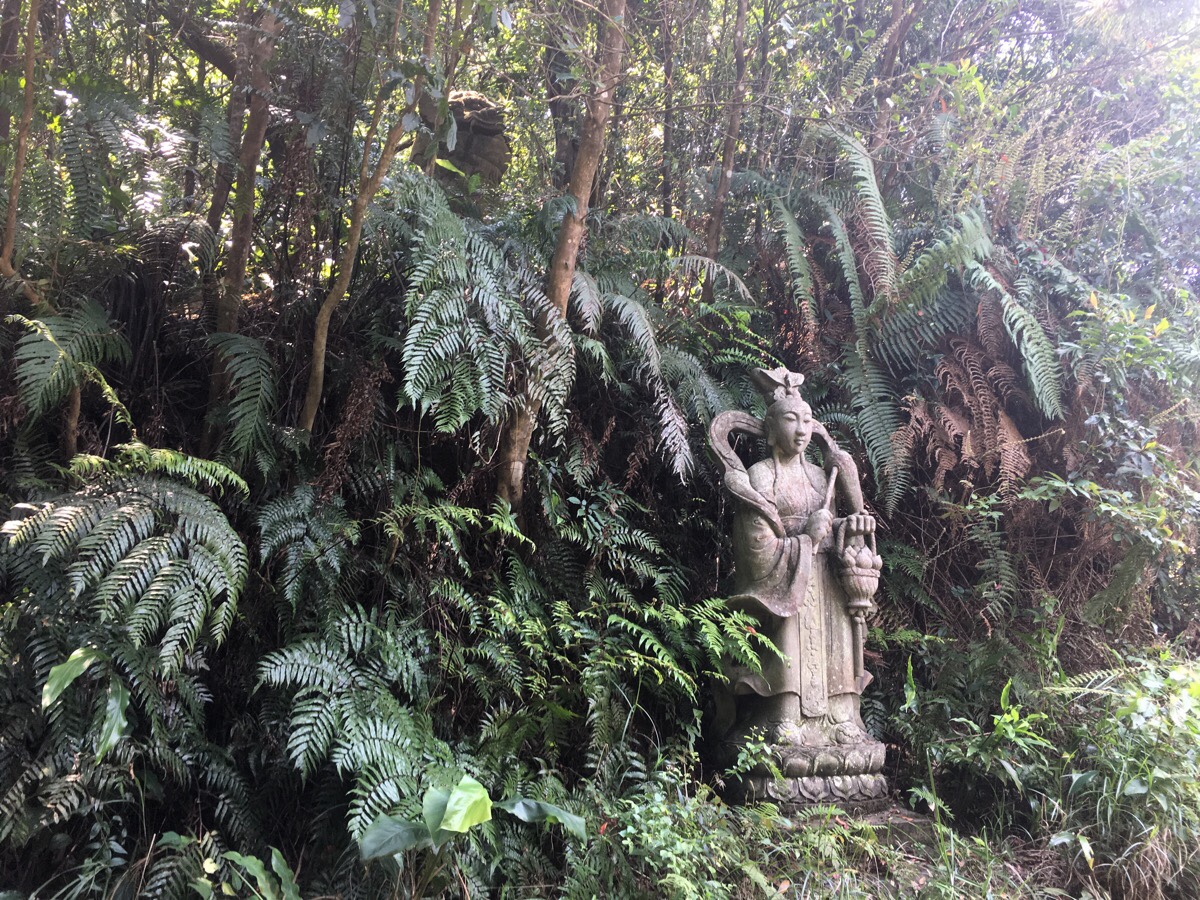
Almost immediately after turning right, there is another junction. I got a bit of a start when I first noticed a statue to the right of the path – a slightly larger than life concrete deity. And then another start when I caught sight of a lion placed just uphill and behind him as if guarding his back. This whole unnecessary frightening of myself was repeated when I noticed the similar statues (pictured) on the left hand side. The lions particularly had the effect of raising the hairs on the back of my neck, so perfectly were they placed in a defensive, guarding position. Walking between them felt like I was prey. I have tried all I can to find out why these are here, but all the mentions of them that I can find just say that they exist.
After walking between them, the TGH turns left towards Bishan. This is the start of Daluntou Old Trail, and it starts off wide and easy to pass.
01:43 – Just as I was checking the turn off on the left here, (this is the turning for Bishan), I heard the improbable sound of an approaching scooter engine. I stepped to the side so as to be out of the way of whoever it was, but as soon as I saw him approach, I felt a little uncomfortable that I’d stopped since I felt that it was making me look a little uncertain. An old guy on a battered scooter bounced past me a little quicker than he should have done, then stopped and waited in the middle of the road.
Fresh from my confrontation with the lions, I was already slightly on edge and this guy’s presence was not putting me at ease. He called back at me to ask if I was walking alone (not an unusual question, both the previous hikers I’d encountered asked the same thing). I walked level with him and reluctantly said that I was because it was clear that I wasn’t with anyone. He said that I shouldn’t walk alone – again, that isn’t entirely usual, but it normally isn’t something I hear from hikers or people in the hills, it is more likely to come from the months of those who aren’t used to being outdoors. I responded with something about how I’ve walked a lot in Taiwan and found it to be safe, but he gave me an irritated look and restated his point. He went on to say that he could have hit me with his scooter because he had drunk a bit (probably really quite a bit actually), and that there were some people who had god in their hearts, but others who had something else. I didn’t know all the words he was using but his point was clear. Some people are bad. I just wanted him to go on his way, but he was insistent on getting his point across, so I said that I normally hike with a friend, just not on this occasion. He continued by telling me that I could run into someone who was stronger than me and I wouldn’t be able to do anything about it. Not knowing what to do, I asked if he meant someone like him and he said no, he was just camping in the area, but I should be careful and bring a friend. He said he had his dog with him to protect him – a pretty mottled brown and black thing with pretty eyes who had been listening to us without much interest from the footwell of his scooter.
With that he drove off along the road and left me alone. In the time I’ve spent in the hills in Taiwan I have been scared of animals, of heights, of changeable weather, of treacherous conditions, rockslides, earthquakes, of illogical and irrational things brought on by watching too many scary films, but I had never been scared of people until now. I probably don’t need to be scared of people, the most likely truth is that this was a slightly drunk old guy who saw a foreigner alone in a corner of a forest where visitors are uncommon and he thought that I was unaware of the dangers. But his repeated mentions of people with bad things in their heart was pretty unsettling. (In hindsight, I wonder if perhaps the guy is part of a homeless community living up here away from people. I don’t know why else he would be camping in this area.)
Because of this, I decided not to make the climb up to Bishan, I wanted to conserve my energy just in case, and taking the flat route seemed smarter. Also, since the guy had gone the same way as I was headed, I could at least follow the sound of his scooter for a way and hear that he was still heading away from me.
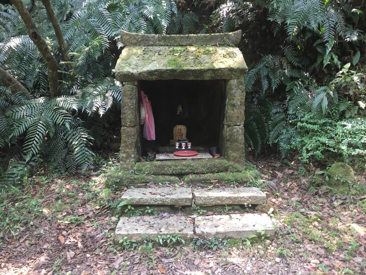
01:47 – Despite feeling longer, the whole, tense conversation had taken less than five minutes, and once I got on my way again I quickly passed an old Land God shrine. If I hadn’t been so jittery, I would have stopped to have a proper look, but I was still on edge.

01:48 – At the next signpost, the TGH heads straight on, but the flat road I was on curved to the right. The sound of the scooter had continued along this flat route, so I was glad to head straight over and away from it. (If you take the detour up to Bishan, then you’ll find it comes down to this junction here.)
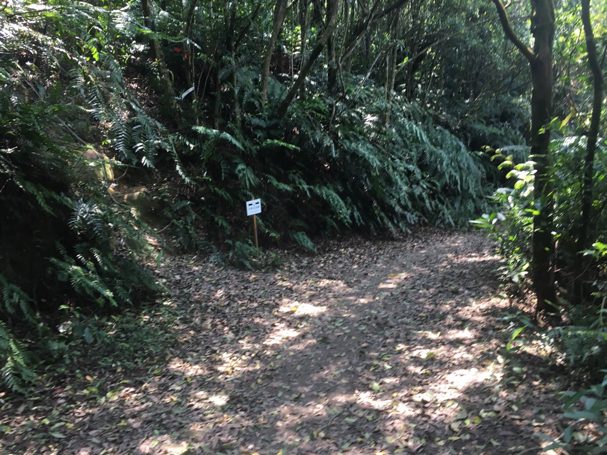
Just beyond this turning there is another junction, but it has a temporary sign pointing you in the right direction.
01:57 – I kept up a good pace despite the path climbing slightly. I wanted to put some distance and a few junctions between myself and scooter guy. To compound my anxieties, the fifteen minutes walking away from this point had really bad phone reception, and I was unable to get in contact with Teresa to let her know about the odd conversation.
The path hooked left at the top of a climb, a trail seems to lead off to the right too, but I don’t know where it goes to.
01:59 – And then it very quickly swung right and downhill again. (Actually straight on can also arrive at the same place.)
After turning right, the trail drops steeply downhill for a bit, and then up again. On the upwards portion there is a mountain farm and shelter, but there was no sign of anyone nearby.

02:04 – Further signs keep directing you towards Neihu. A little beyond this point I started to feel that the landscape was familiar.

02:09 – At the next junction my thoughts were confirmed when I saw the trail I needed to take headed down to the left. I had passed this way around Chinese New Year when I walked the Xiao Xi Tou trail with Teresa.
02:14 – (Picture recycled from my previous description of Xiao Xi Tou trail to save space.)
The path here switches from dirt back to stone steps and then heads downhill. A tiny frog hopped over the trail in front of me – last time I was here the water had been teeming with tadpoles. Turning left at the bottom of the steps offers a shortcut to the lake. I’d recommend you take a look because it’s pretty, but it is just off the path, so you can skip it if you prefer. *
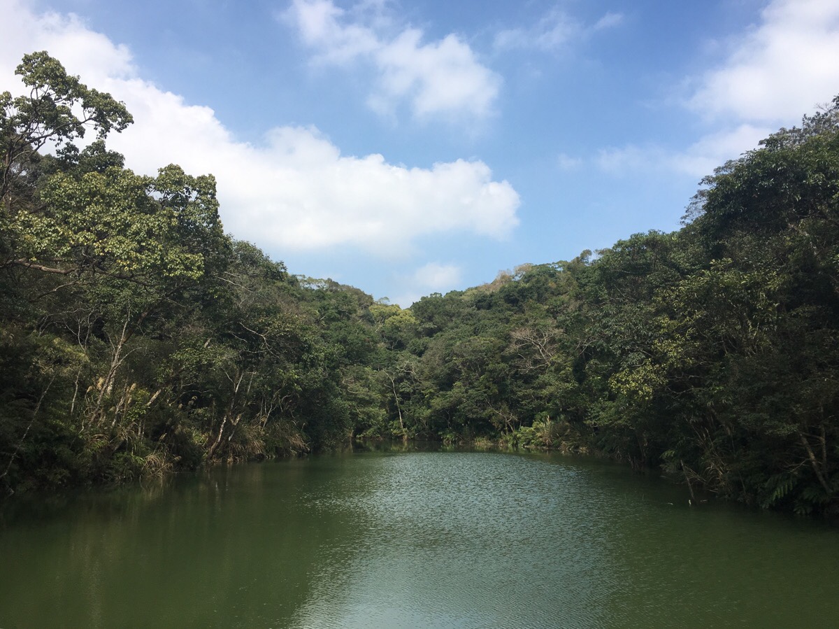
Having put half an hour’s worth of walking and several junctions between me and creepy scooter guy, I felt comfortable enough to stop and rest a while. The sun was strong on the unshaded viewing platform in front of sweet water lake (甜水鴛鴦胡湖). I took out a sandwich that I’d brought with me and watched the fish. At one point a dinosaur-like turtle rose from the depths and floated with just its head above the surface, but at the first sign of movement from me it dipped down and disappeared with a swift kick of its back flippers.
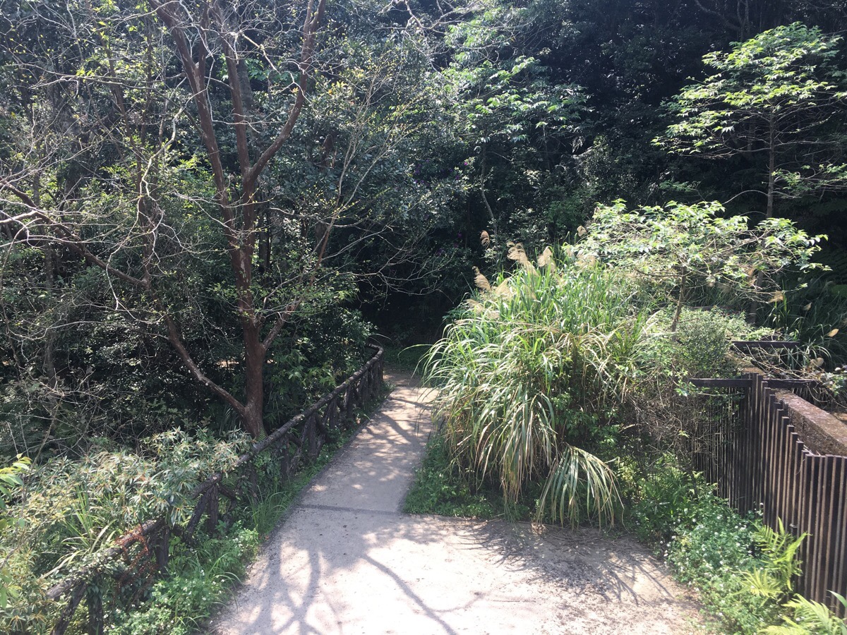
After a bit of a rest, I got back on my way. I left the lake from the same side I’d walked in from, but rather than taking the shortcut, I kept on the stone path.
02:29 – *Very soon the path joins back up with the one that I’d turned left off of. Just keep heading left and downwards.
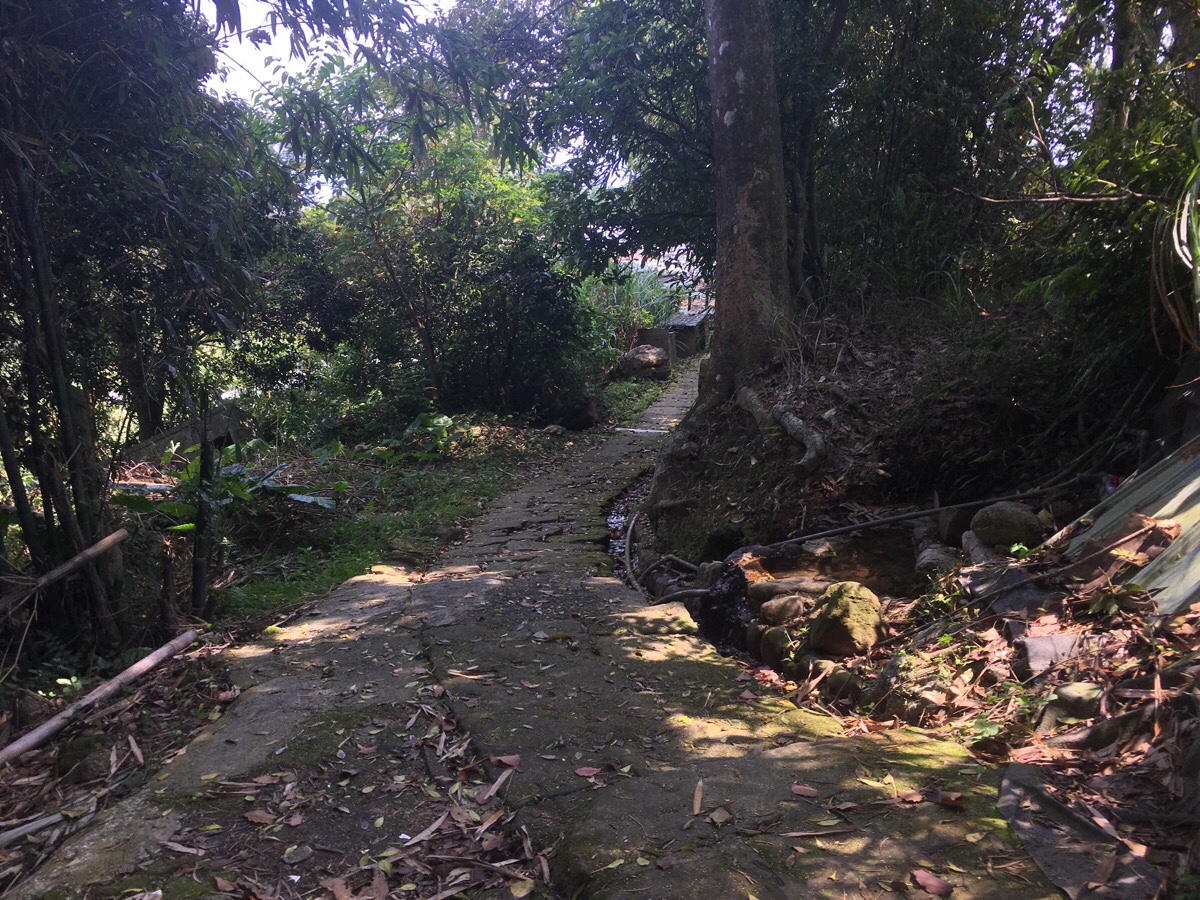
02:36 – After a while, the trail edges towards some farms and it is a little unclear where to go. Keeping the buildings on my right, I kept with the path as it dropped down and then turned right.
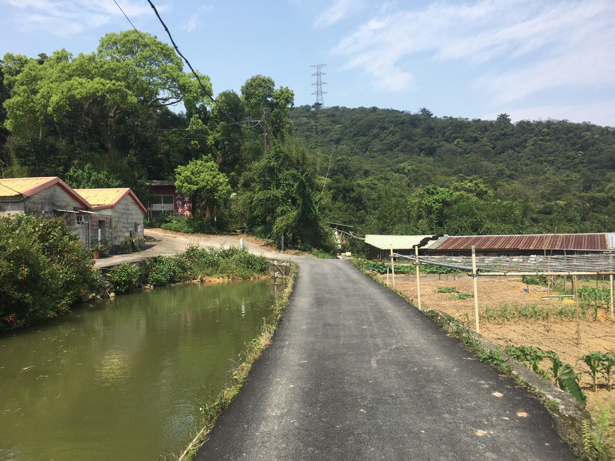
02:38 – This picture was taken looking back at where I’d just come from. It was an unexpectedly pretty farming scene. Just to the left there was an old courtyard house and to the right farmland stretched out for a way downhill. On the map this little group of dwellings is labelled as Wacuo (瓦厝).
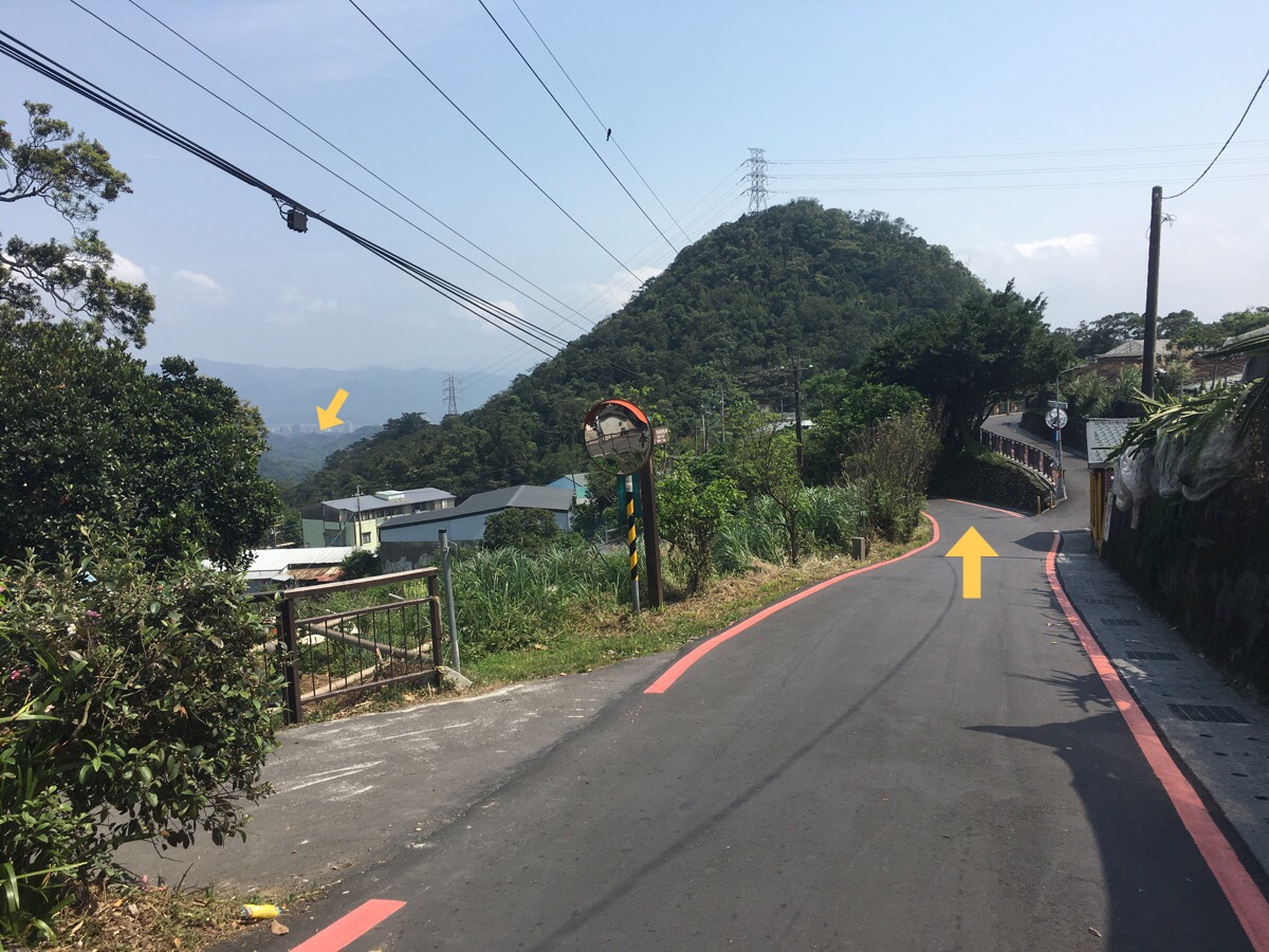
02:39 – The road winds prettily through farms with views of the city beyond the closer peak of Carp hill (Liyu Shan), or maybe it is Yuanjue Shan.
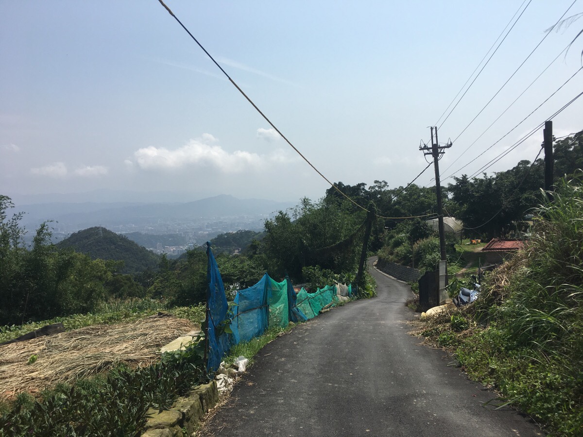
02:42 – The little farm road joins the slightly larger Bishan Road, but the TGH goes straight over to some wooden steps and down the wide path. The trail between here and the next road is called the Wishing Trail. Running alongside the path is fenced in private property, and just beyond the fence sat one of the largest Alsatians I’ve ever seen. It watched me, alert and placid.
02:48 – The road narrows into steps next to the wishing tree and a dwelling. The tree is a Formosan Michelia, a flowering species in the magnolia family and a native species to Taiwan which can be used to make all sorts of wooden items. This particular tree is known as Wu Xin Shi Grandpa (wu xin shi or 烏心石 being the Chinese name for this tree species). He has been designated as ‘the wishing ambassador’ for the Baishihu area. From his spot up here on the mountainside, he receives and guards the wishes of anyone who whispers their dreams to him.
If you stand next to Wu Xin Shi grandpa and look across the valley you can just make out the bald outcrop of Longchuanyan on the far ridge. When I turned around from admiring the view over the valley, I noticed that the elderly gentleman who (presumably) lives in the house here was oblivious to my presence and was relieving himself in his garden.
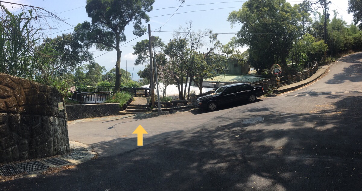
02:52 – The wishing trail ends by letting you out through a passageway between houses. Here you’re back on Bishan Road for the second time. Turn right along the road.
02:56 – The road passes farms and farm shops. This area is famous for being the place where Taipei-ers come to pick their own fruit. Strawberries seem to be the key product, (the long picking season runs from December to May), but there are pick-your-own farms offering a whole array of fruits and vegetables up here.
Hidden just behind a mirror is a sign pointing left towards “the couple trees“. Technically speaking, they are no longer a couple since the husband tree was fatally damaged when typhoon Souledor ripped through Taiwan in 2015. The locals couldn’t bear to see the wife tree alone, so they have planted a son for her.
After paying a visit to the mother and son trees, I returned back to the main road and walked the next 50-100 metres to Houhu Wetlands.

03:02 – As with many places in Taiwan, there seems to be a variety of naming options for the next step on the TGH. On the map the area is called Houhu Wetlands. The signs nearby call these ponds Concentric Ponds or something similar, and this is indeed one possible translation of the Chinese name (同心池). However I think the meaning of the name as it would be read by Mandarin speakers is more sweet than that, 同 means same, whilst 心 means heart, so that would be something like ‘one heart’, or ‘with the same wish/goal/heart’. No wonder they went with the easier to translate ‘concentric’.
Whatever the name, this place seems to have become a popular spot for courting couples to come and visit – particularly during winter when it is brightened by the vivid red of poinsettias.
From the platform in the middle of the lake, the walk continues up and then left a bit.
If you’re feeling hungry, it would be a good idea to grab some food at one of the little cafes in this area before heading on. They’re not all open all of the time, but even on a Wednesday afternoon there were a few open for business.
03:10 – The path skirts around the back of the ponds and then dives right. It is signposted as heading towards Baishihu Suspension Bridge. One of the cafes in this area was cooking something that smelled absolutely delicious, it reminded me of the smell from a Cornish pasty shop back home.
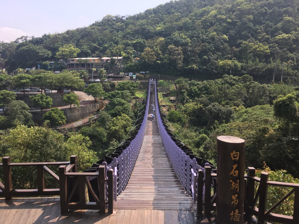
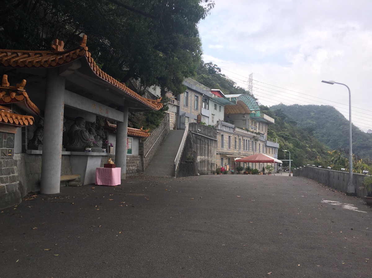
03:14 – When I arrived at the suspension bridge, I was alarmed to see that it was impassable due to the fact that workers were giving it a new coat of paint. Fortunately, it is possible to take a slightly longer route by looping around the road and back to the far side of the bridge.

IF YOU’RE PLANNING TO SPLIT THE TRAIL INTO TWO SECTIONS, TAKE THE MINIBUS BACK TO NEIHU FROM HERE.
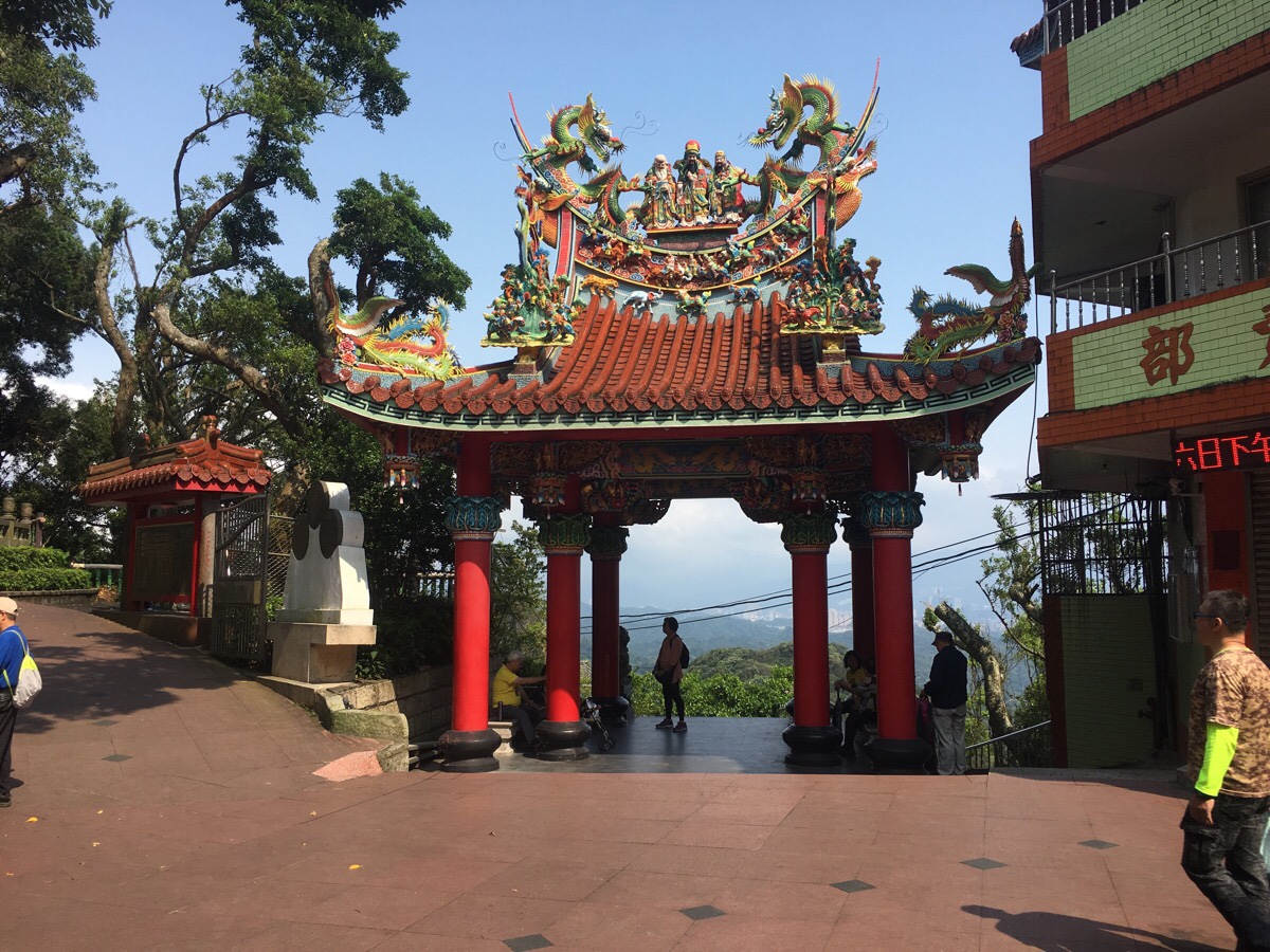
03:27 – From the other side of the suspension bridge, the path heads left a little and then through the front arch of Bishanyan Kaizhang Shengwang Temple. (Photo cribbed from from the Bishanyan to Jiantan portion of the TGH.) There is a 200-300m section here where the official path intersects with itself, although you can skip that and turn left before going up the steps if you’ve already seen the temple and don’t wish to go in again. I went in though because I wanted to wash my hands and I needed the toilet.
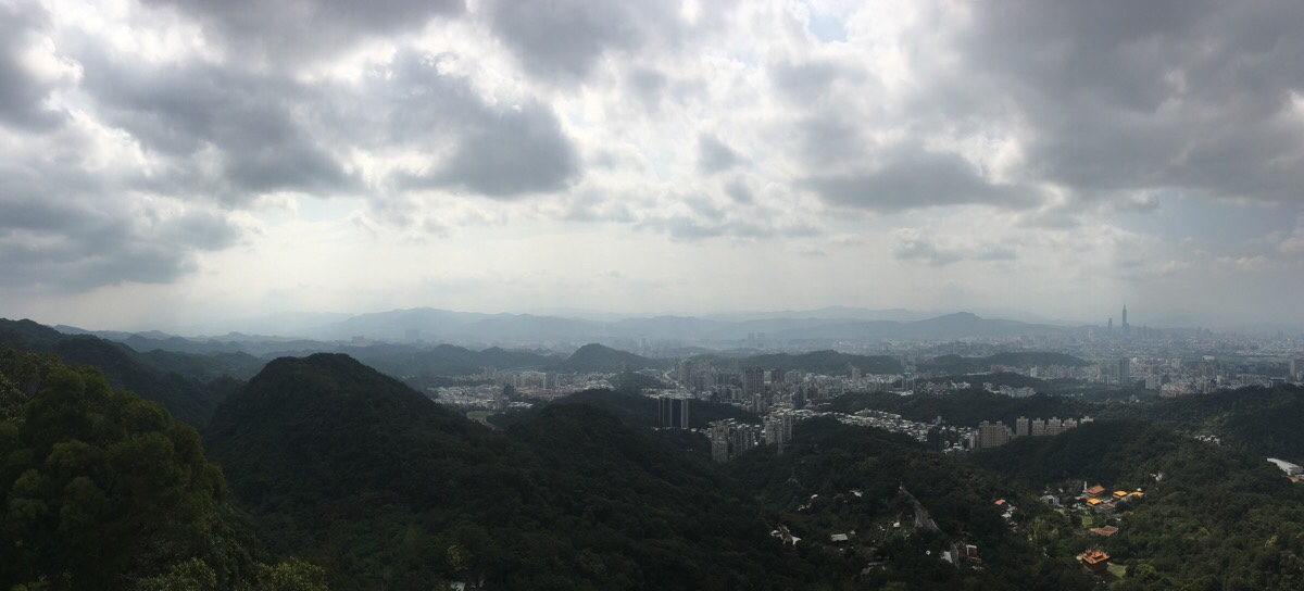
Whilst I was there I decided to get a coffee from the temple’s small cafeteria. They only sell one type, (black), and you chose how much you pay by dropping your money into a donation box next to the counter. I probably wouldn’t choose to drink here again, but the views from the cafe’s balcony are really enjoyable. (Again, this photo comes from my previous visit – this second time, the sky was bluer and the whole scene was even nicer.)
I somewhat sank into a daze whilst sitting on the balcony, and I ended up stopping for close to 40 minutes. When I was ready to set off again, I took a different set of steps down.
The path comes down the steps on the right and then doubles back on itself to continue down a little further.

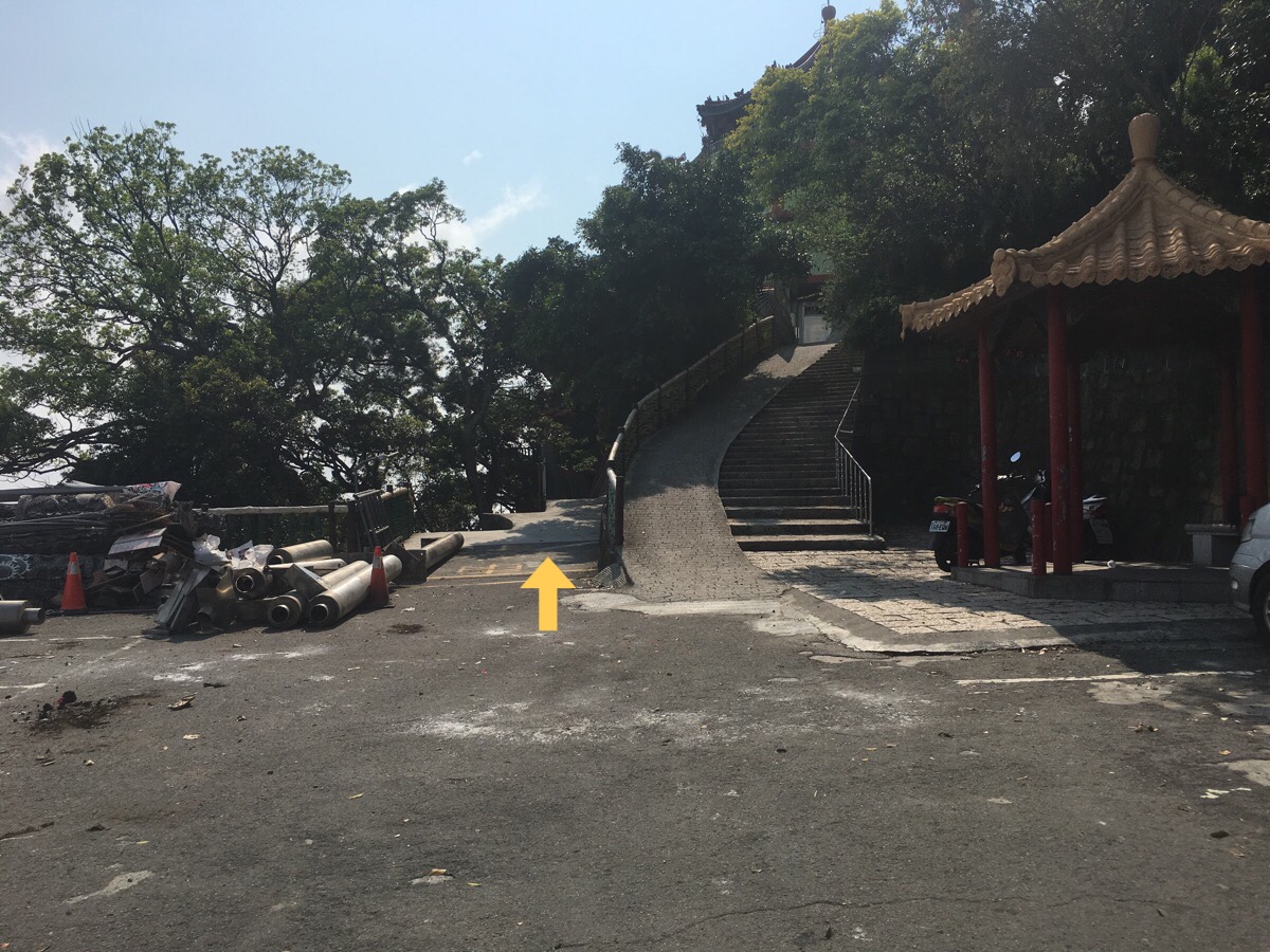
04:40 – For a third time, the trail intersects with Bishan Road. The steps on the left are the steps heading down from the temple. As you come down from here you need to turn left (right in this picture, but left if you are coming from the steps), and through another temple archway on the smaller road.
I found the directions here to be particularly unclear. Coming from this direction, there is no TGH trail marker, and none of the signs indicated which way it was to Yuanjue Waterfall, (one does indicate the way to Yuanjue Temple, but I hadn’t stored this in my mental list of points of the trail). After wandering around the junction a bit, I noticed a sign directing me towards the Yeh Ancestral Temple, and since I knew I would pass it, I thought it must be the right way. Fifteen minutes later, I reached a pavilion at the top of Liyu Shan and realised that I’d gone wrong. So I headed back to the junction in the photo and went the right way. (I did also decide that I needed to come back and do a proper walk up Liyu Shan because it is an interesting trail.)
04:47 – The road passes a Land God temple with an interestingly jutting rock formation, steps here lead back up towards the suspension bridge, but just ignore them and keep on the road.
The sound of Buddhist chants alerted me to my arrival at Fengbishan Yuanjue Temple. Evidently this temple was established in 1924, making it the first Buddhist temple to be constructed in Neihu District. Although when it was first built, it wasn’t called Yuanjue Temple, it was known as Yuanshan Hall (原善堂). It’s built using sandstone (presumably local stuff since that is what the area is famous for), so to my mind it looks kind of like a rural farmhouse.
Passing the temple on your left, head down some steps at the far end of the road. Here the TGH continues down some steps. (Next to a map at the junction you can also see a natural trail heading up – this goes towards Yuanjue Shan.)
As the steps round a corner you may notice a small dwelling to the left and a tree stump which looks uncannily like a velociraptor on the right. If you turn back when you draw level with the velociraptor, you should notice a large boulder which has been inscribed with: 諸惡莫作。深信因果. Roughly translated, it means something “don’t do evil, know that karma exists.”
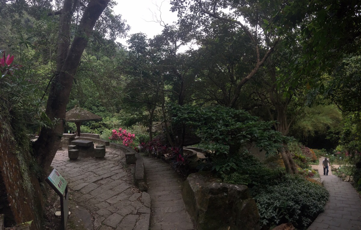
04:58 – The steps open out on a well-maintained area of gardens which has been teeming with healthy-looking retired people every single time I’ve been here. (Walking the TGH was my first visit to the area, but I’ve been here many times since.) This is the rest area at Yuanjue Waterfall so it’s worth taking a brief detour to have a look.
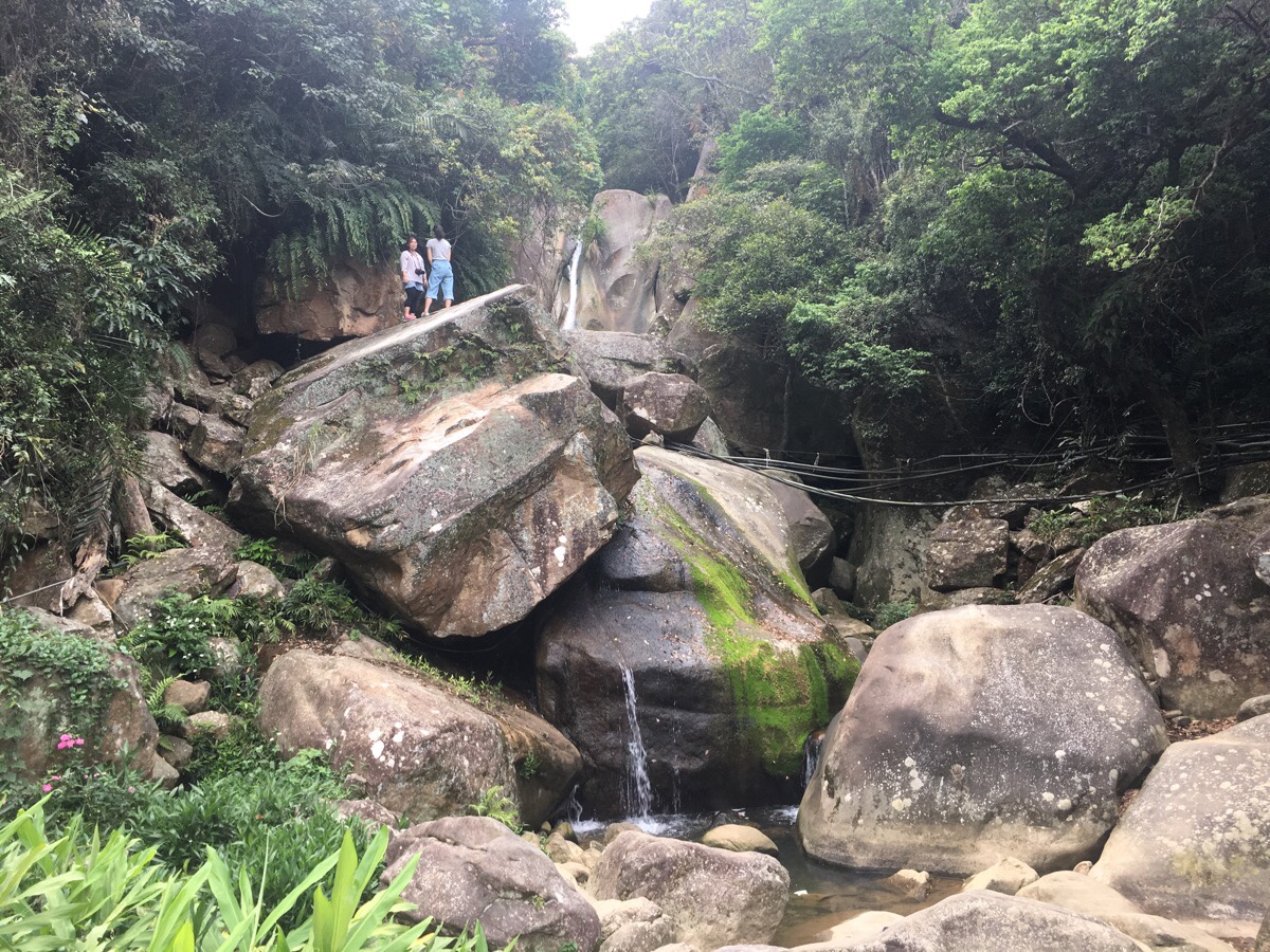
I went on a day when there hadn’t been much rain, so it wasn’t much more than a slim thread of water, but still a pretty sight. I don’t know why I’d not made it out this way previously.
05:06 – The walk down from the waterfall is really very pretty. The locals seem to be doing a good job of keeping it clean, as there was almost no litter – impressive for such a well-worn path. The path meanders gently alongside the rocky riverbed, sheltered inside a tunnel of trees.
It also gave me plenty of ideas for future walks. On the left a short way down there is an unmarked trail leading over a little metal bridge towards Dragon Boat Rock. Then on the right about half way down, I passed the turn off for Liyu Shan.
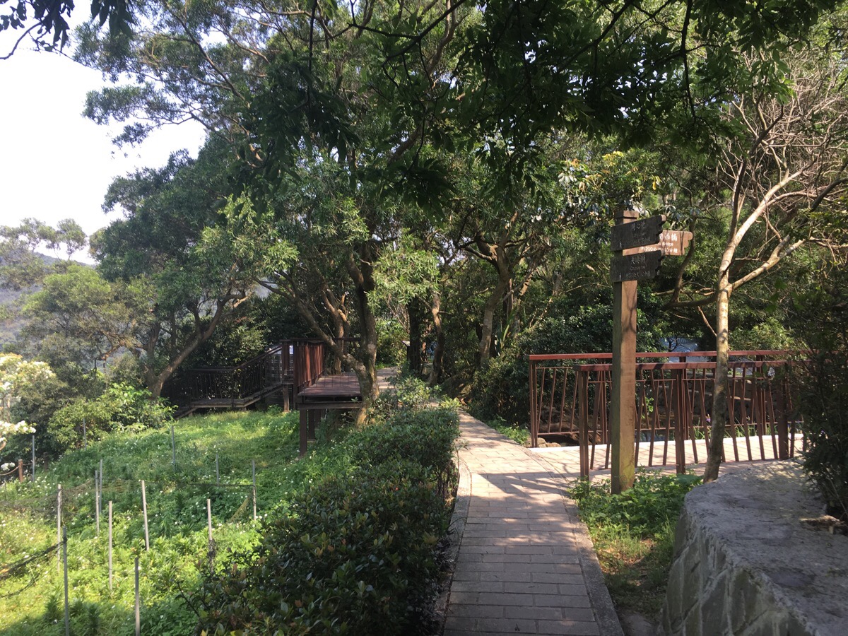
05:13 – After following the path all the way to the end, it heads up a lane. (Veering slightly away from the stream.) The path slopes vaguely upwards and then the gates of the Yeh Ancestral Shrine appear on the right. Mere metres beyond that is the entrance to Bihu trail – yet another of Neihu District’s escapes from the city.
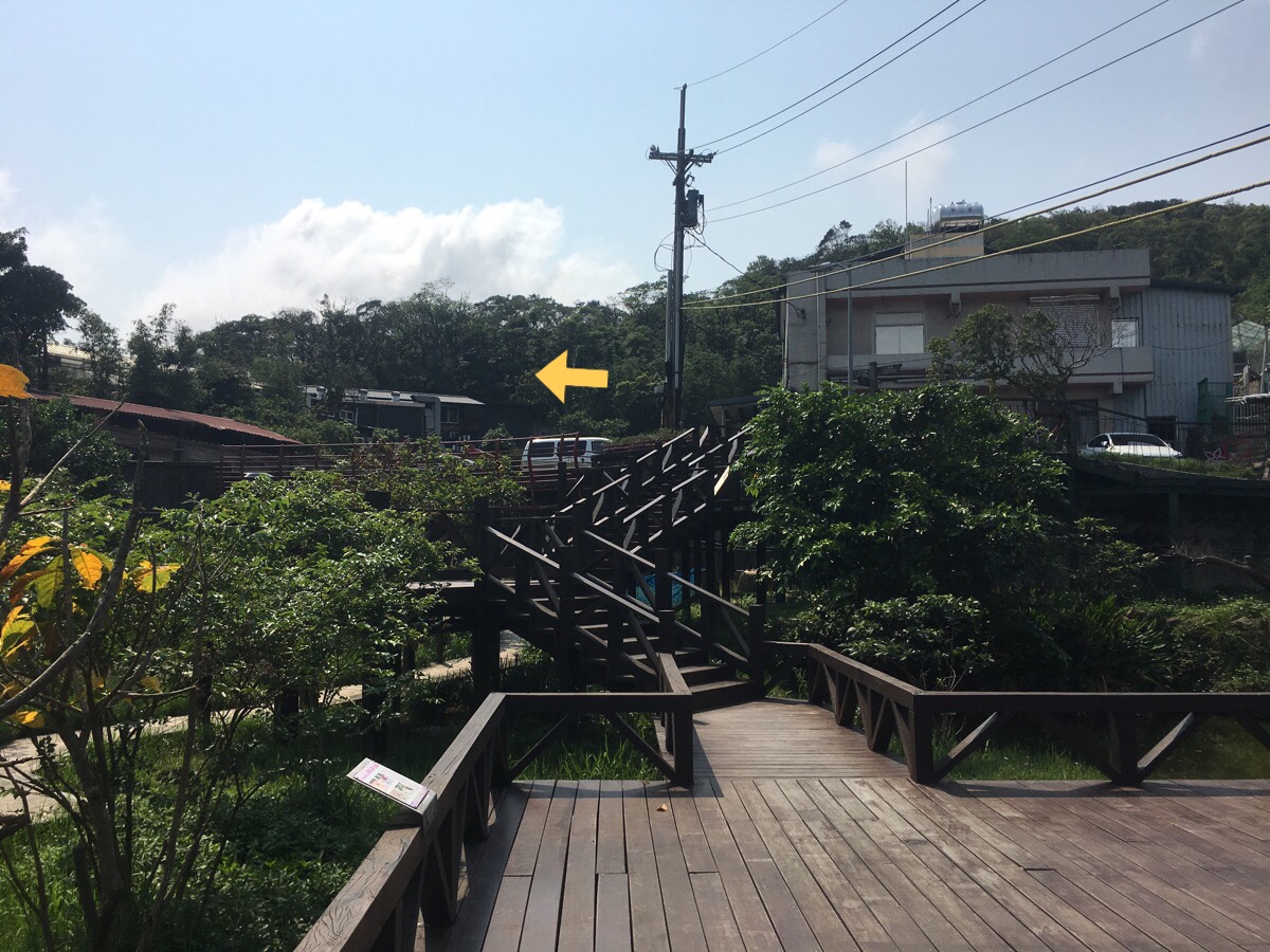
05:17 – A few more metres along the track, the TGH takes a a left turn into the riverside park.
I walked along the road the whole way, but there is also a path running along the river (which you can take if you turn left over the water at the point where the path ends and becomes road).

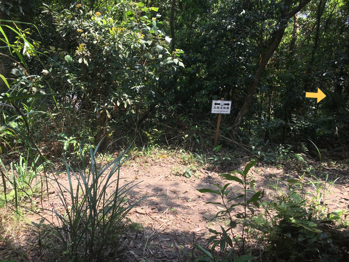
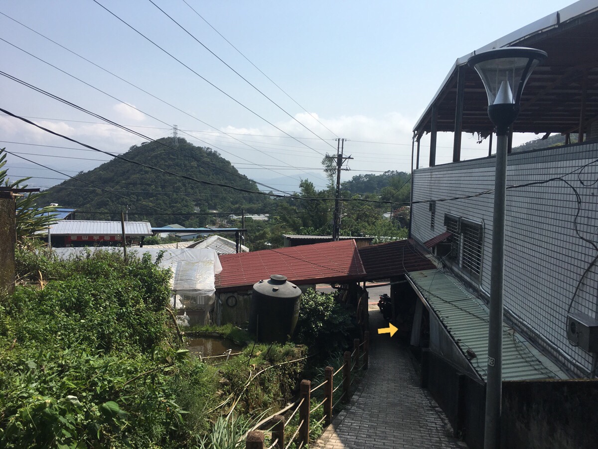
05:23 – After walking back along the road which runs next to the park, I reached the main entrance where the park joins Dahushanzhuang Street. There is a TGH post here, the 南 character.
From there it is just a straight 5-10 minute walk on back to Dahu MRT station.
HOW TO GET THERE
google maps address: the Feng Gui Zui bus stop is here – you have to walk up the road to the trail head. At the other end, the trail starts from Dagouxi Waterfront Park.
GPS location:
- Feng Gui Zui bus stop – N25 07.920 E121 35.830
- Trail head at Feng Gui Zui end – N25 07.845 E121 35.930
- The bus stop at Bishanyan (if you plan to split the trail) – N25 05.900 E121 35.270
- Dagouxi Waterfront Park trail head – N25 05.320 E121 35.915
public transport:
- The M1 gets to Feng Gui Zui, it is a scheduled bus service, and it leaves from Jiantan MRT Station. On weekdays there are only three buses a day, and on weekends there are five. Because this part of Yangmingshan is so poorly served by public transport, it makes sense to start your walk from here.
- If you plan to split the trail at Bishanyan, you can take the S2 back to Neihu MRT Station.
- From the Dagouxi trail head, it is a short 5-10 minute walk back to Dahu MRT Station.
further reading: If you want to look at the route explained in Chinese, this post details a slightly extended version of what I did, (they included Feng Gui Zui, Bishan and Daluntou Shan). Also, Tony Huang walked this section in reverse to me, and he too found some sections in the middle confusing.
This is the bit where I come to you cap in hand. If you’ve got all the way down this page, then I can only assume that you’re actually interested in the stuff I write about. If this is the case and you feel inclined to chip in a few dollars for transport and time then I would appreciate it immensely. You can find me on either Ko-fi or Buy Me a Coffee.

Loved your detailed description of your hike. I wish we had found your blog before our Taiwan trip. 🙂 Those gorgeous greens are so welcoming.
LikeLiked by 1 person
There’s always a next time! Taiwan definitely has a lot to offer on a second visit, especially if you’re based near-ish.
LikeLiked by 1 person
Yep! We’re in Seoul. Just 2 hours away. 🙂
LikeLiked by 1 person