 This is my newest favourite walk in Neihu. It has a stream, roped sections to tire me out, wonderful views from Dragon Boat Rock, the oldest house in Neihu District, cute little Tudi Gong Temples and a waterfall.
how to get to
MOUNT HEMEI TRAIL (和美山步道)
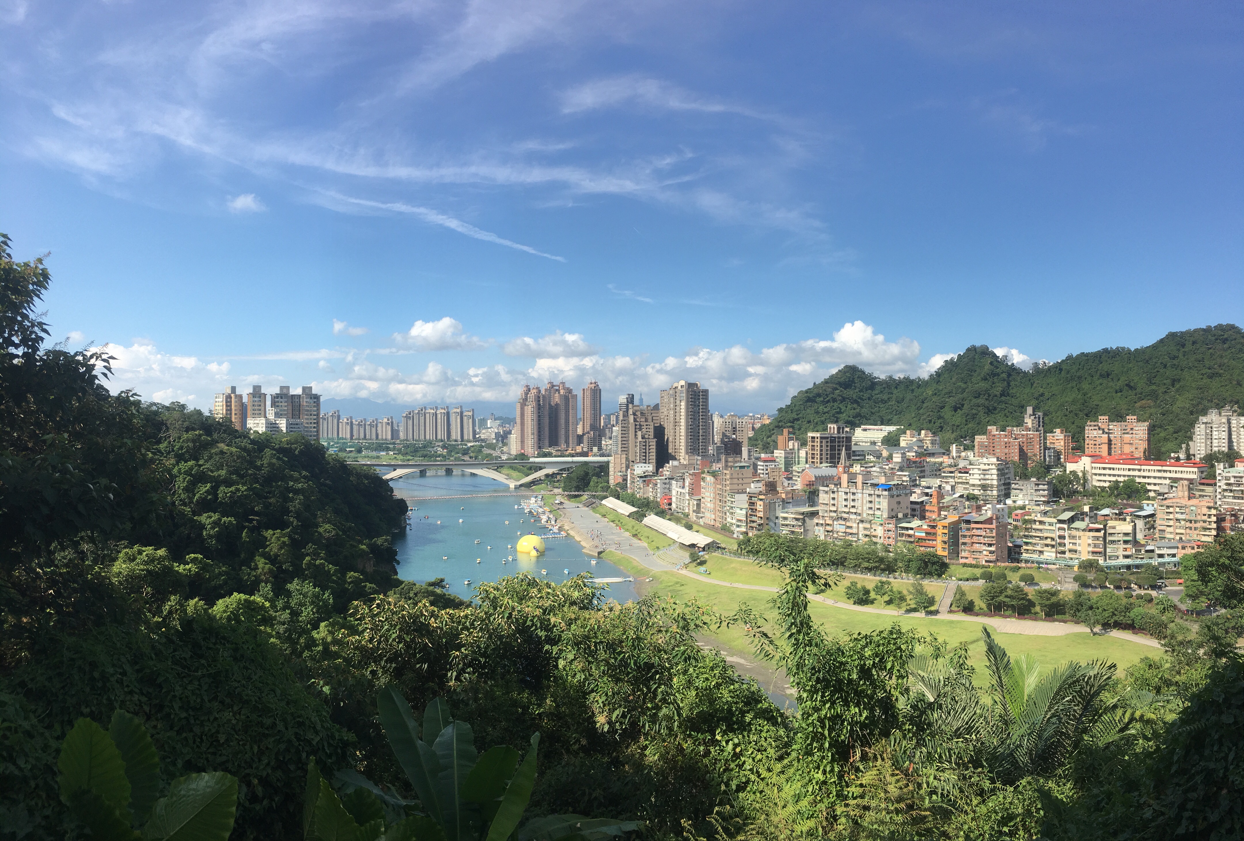 Once a highlight of Taiwan’s domestic tourism industry, Bitan is now a relaxed feeling, end-of-the-line destination, mostly populated by families looking for an easy day out. To see a different side of this weekend hotspot you can cross over the suspension bridge and take a walk up one of the trails up to Hemei Peak. With it’s abandoned amusement park and the return trip on the lone surviving paddle ferry, this really is a wander into Bitan’s past.
HUANGDIDIAN (皇帝殿)
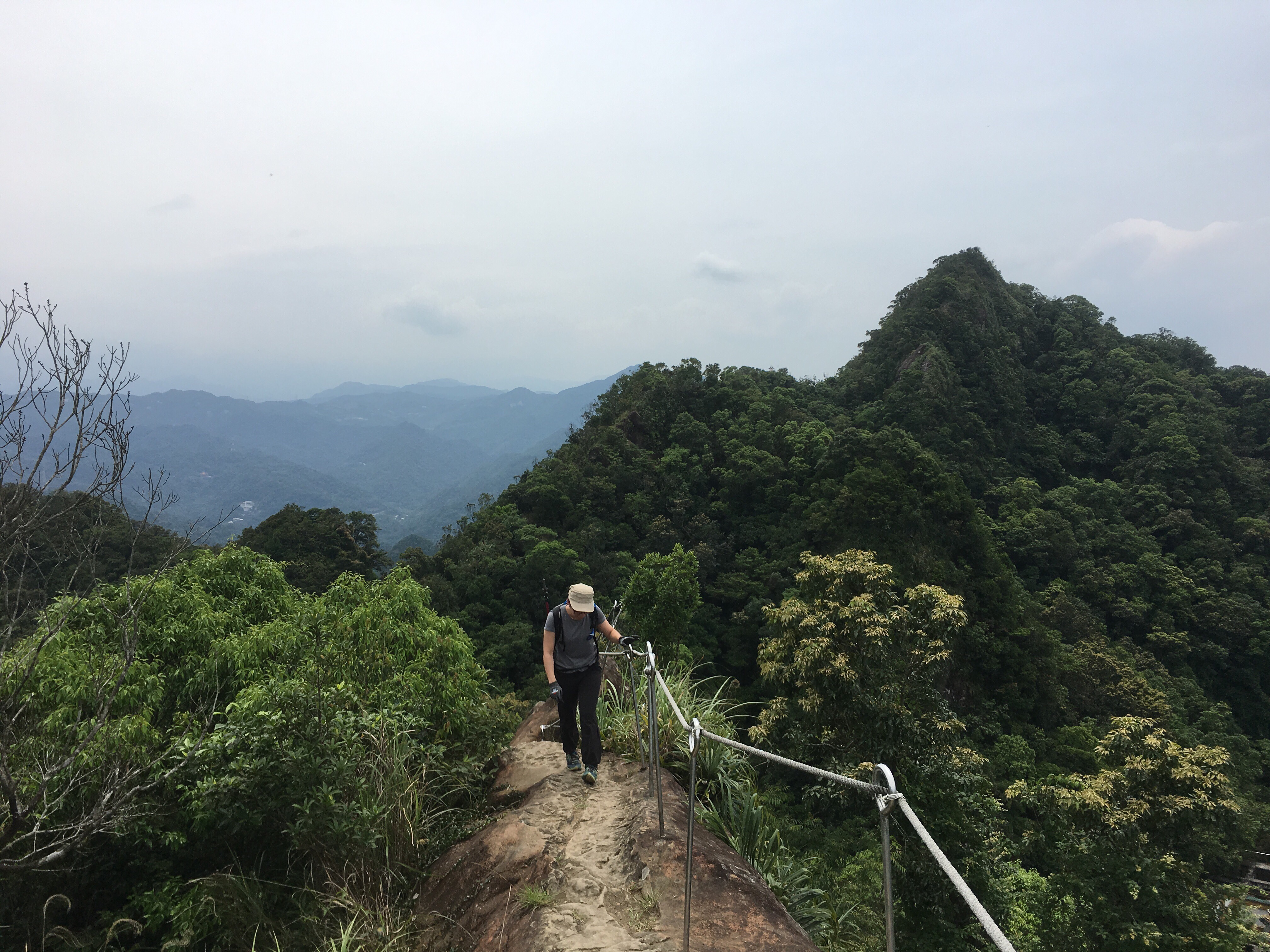 This is the hike that made me fall in love with the trails and landscape of Taiwan. The first time I walked it was before I lived here, and the impression it made ran deep. This trail pretty much has it all: enthralling mountain views, exhilarating ridge walking, invigorating climbs and, (if you’re feeling bold enough), the opportunity to experience that famous Taiwanese friendliness by trying your hand at hitchhiking rather than walking back along the road.
JINMIAN SHAN – a longer route (金面山)
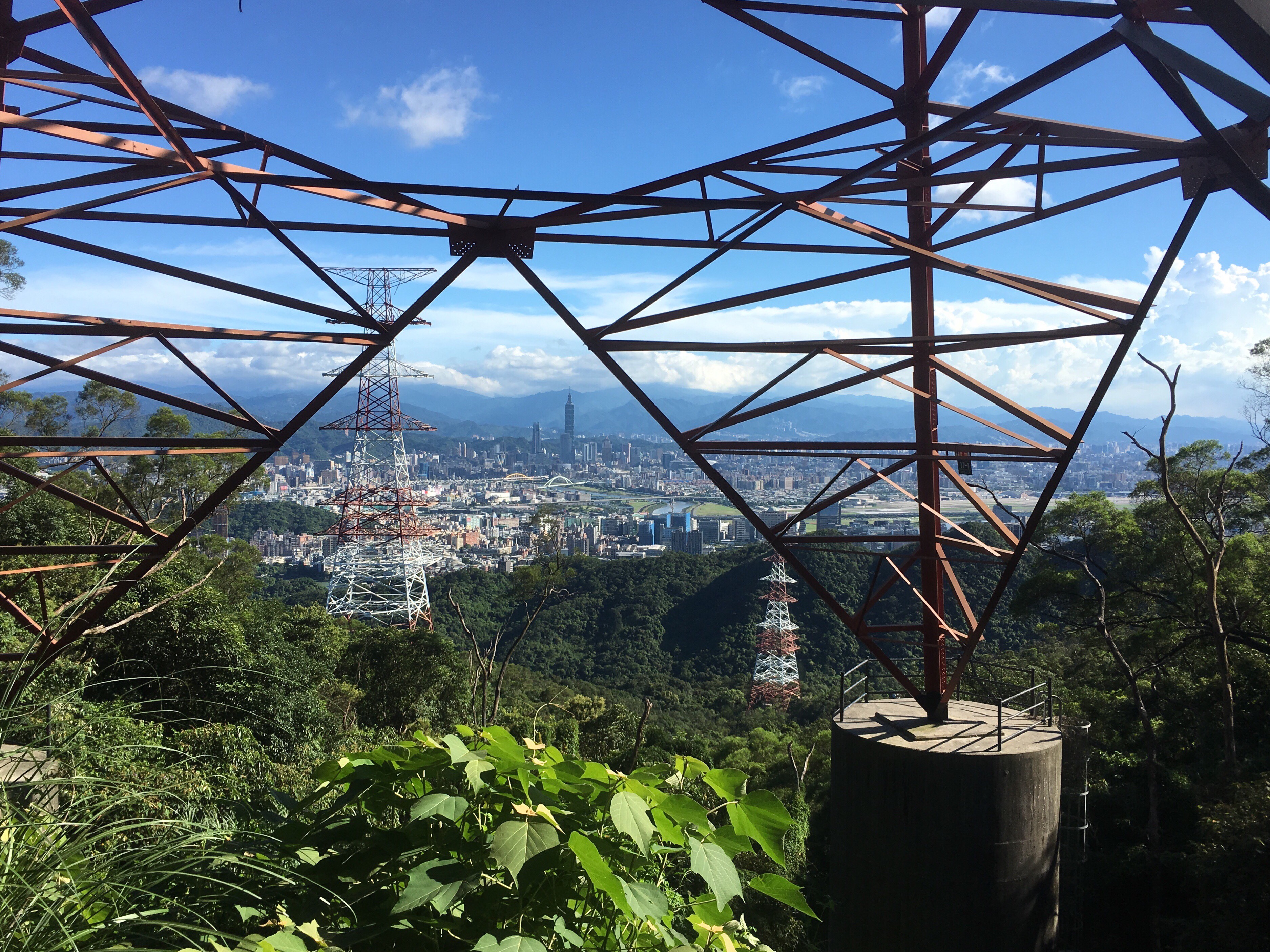 A great trail taking in one of Taipei's most Instagrammable spots. This walk can be done in a morning or afternoon and is easy to get to from the MRT.
KANGLE SHAN TRAIL (康樂山步道)
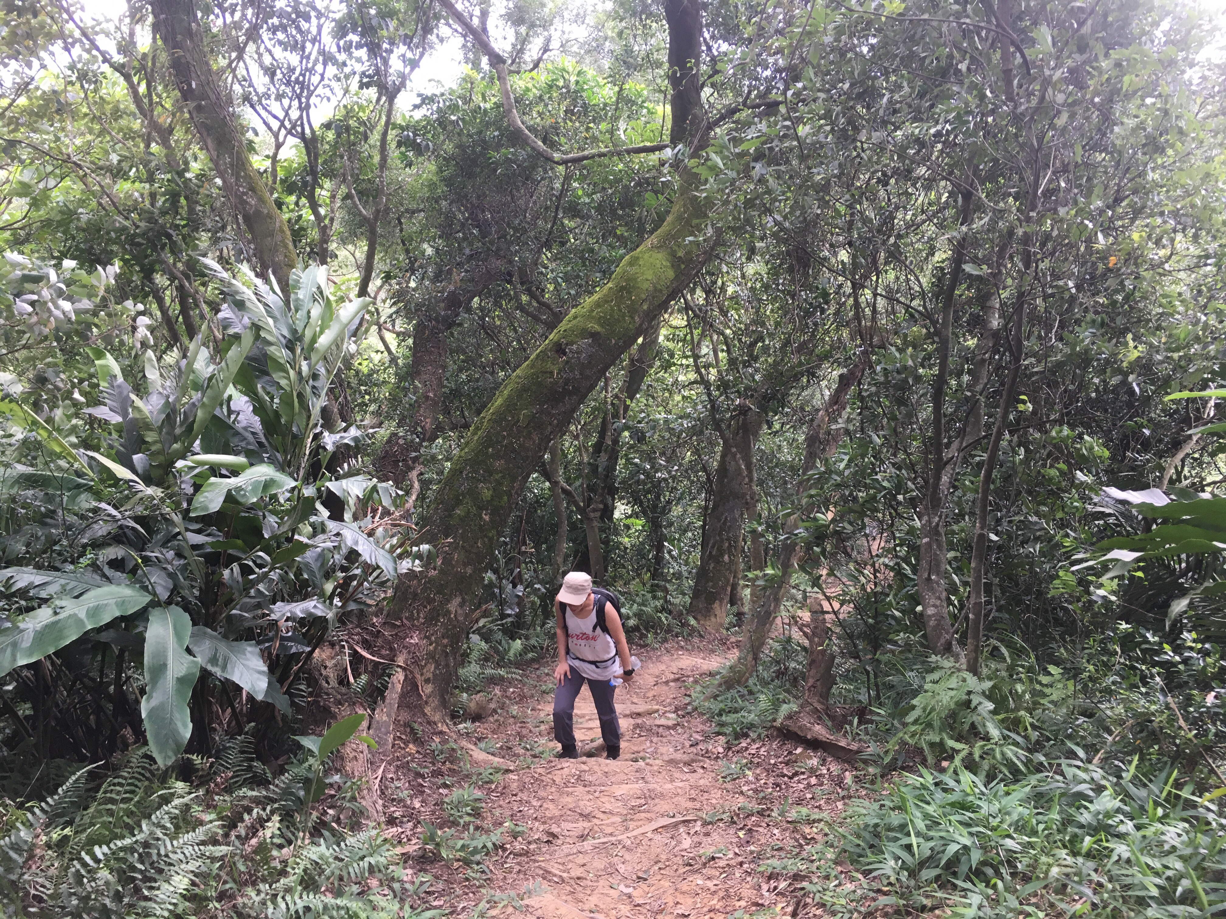
A short, unpolished trail in Neihu District. This walk has a couple of views and leads back through some allotments.
JINGMEI RIVER CYCLE PATH (景美溪自行車道)
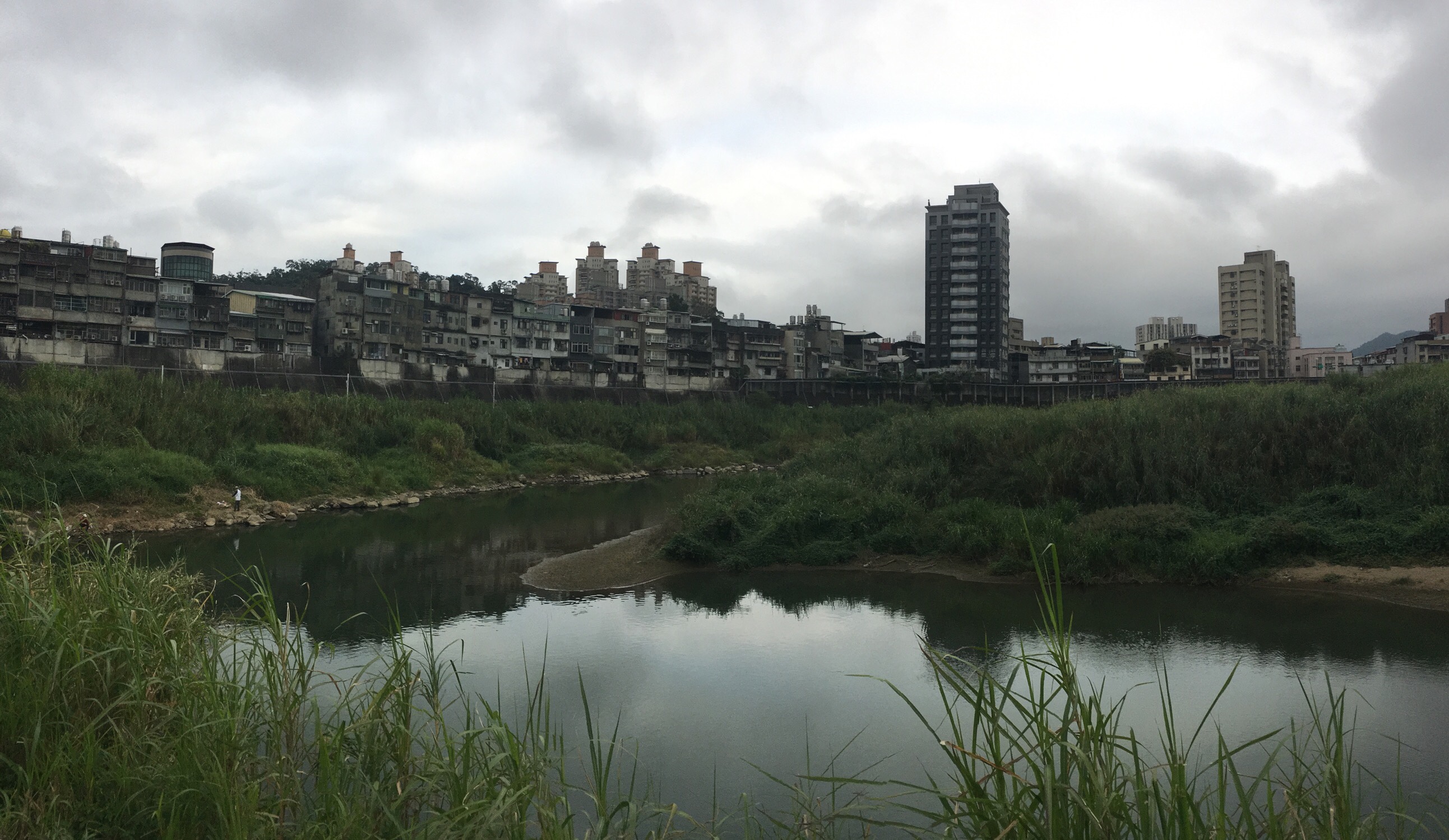 A short and simple river bikeway which can be combined with a trip up to Maokong. For the more adventurous, you can turn this into an all day, three-modes of transportation trip by then walking down from Maokong via Yinhe Cave.
TAIPEI GRAND HIKE – MAOKONG (南區茶鄉大縱走 – 貓空)
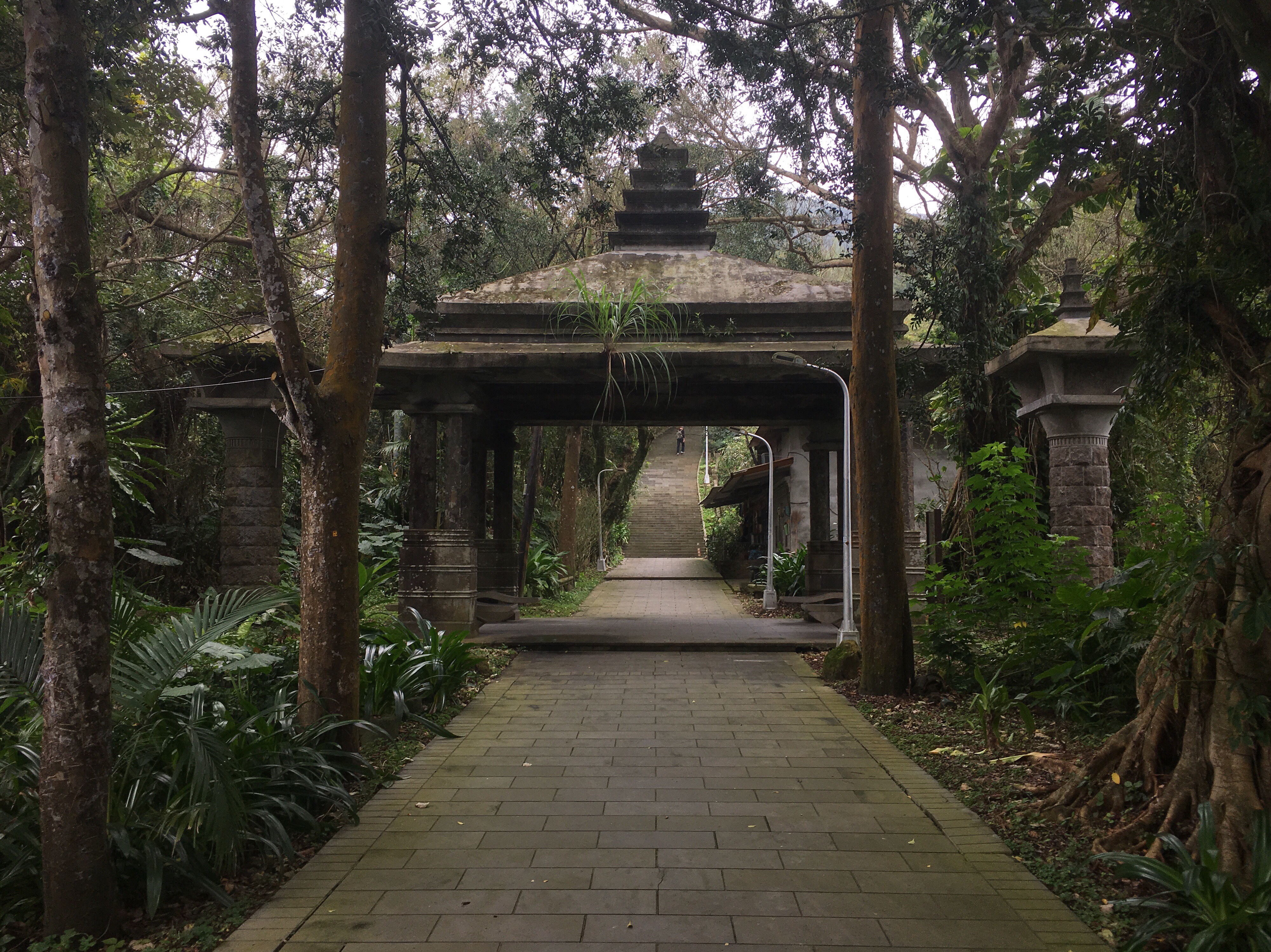 The closing section of Taipei's long distance path leads you up into the tea-growing hills of Muzha. There's a waterfall, one of Taiwan's top 100 religious sites, (Chihnan Temple), and the opportunity to take a rest stop in your pick of Maokong's famous tea houses.
TAIPEI GRAND HIKE – NANGANG MOUNTAIN RANGE AND FUYANG BRANCH LINE (南區茶鄉大縱走 – 南港山系/富陽支線)
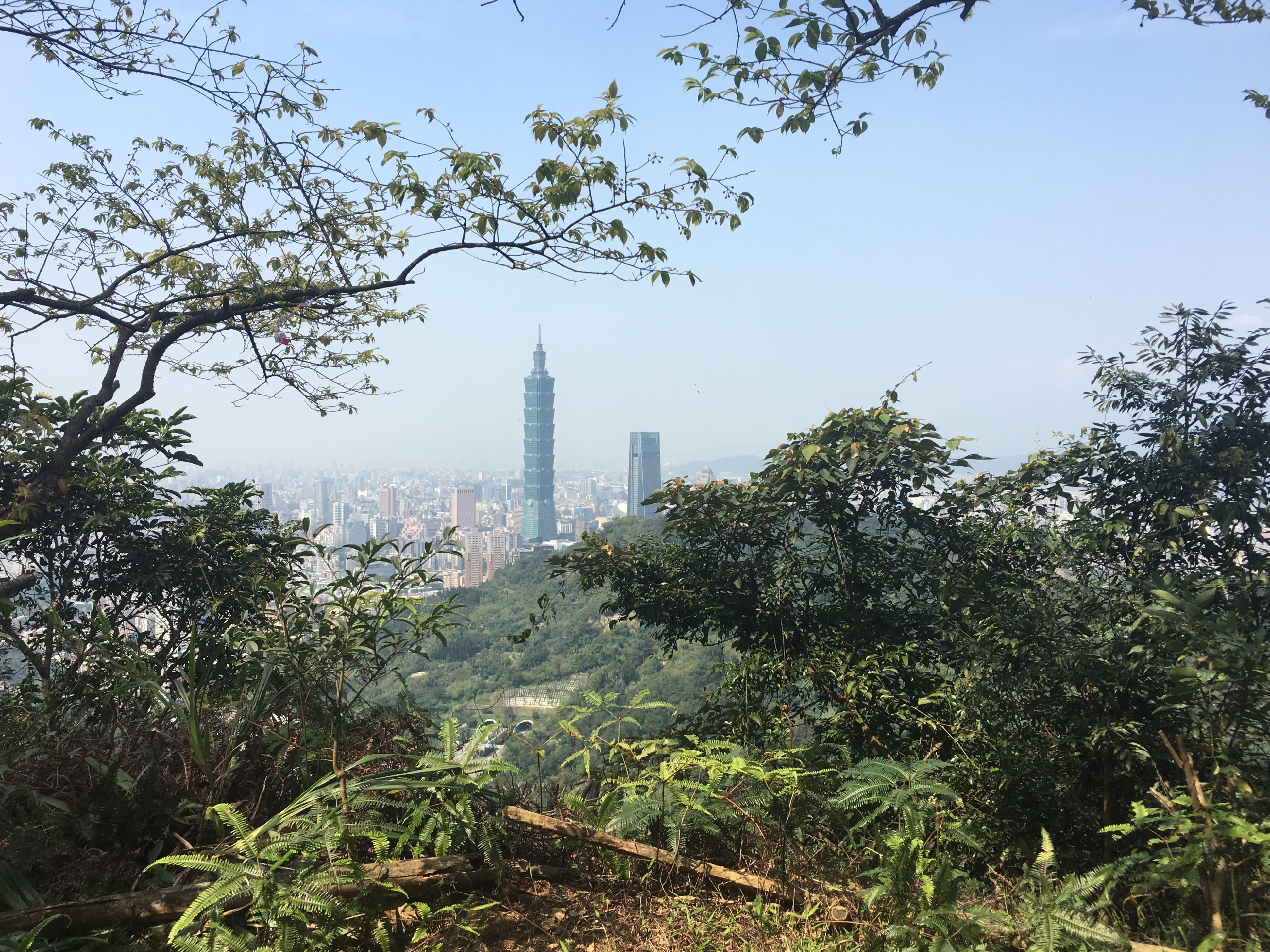 The Taipei Grand Hike’s southern arm stretches over the peaks of the Nangang mountain range and up to the huge temples and tea plantations of Muzha. In this section, you will experience wonderful views over Taipei, some of the most popular trails in the city as well as some much quieter, less frequented routes. Take in 360 degree views, historic trails, a mountain-side cemetery and a whole load of temples. This walk is a great way to start your Taipei Grand Hike adventure.
TAIPEI GRAND HIKE – FENG GUI ZUI TO DAGOUXI RIVERSIDE PARK (北區稜線大縱走 – 風櫃嘴/大溝溪生態治水園)
 The fourth installment of the Taipei Grand Hike takes you to some beautiful and quiet corners of Yangmingshan National Park, as well as some of the more popular scenic spots in Neihu. The best thing about this portion is that it has an abundance of water, from the natural and charming stream running alongside Shuangxigou Old Trail, to the manmade Sweet Water Lake, and the easily accessible Yuanjue waterfall.
TAIPEI GRAND HIKE – FENG GUI ZUI TO XIAOYOUKENG (北區稜線大縱走 – 風櫃嘴/頂山/石梯嶺山/小油坑)
 The third installment of the TGH has you climbing to the highest peak inside Taipei City. Go on a clear day and your effort will be handsomely rewarded with 360-degree views of the surrounding area. As well as big views, this route also takes in some really pleasant forest and ridge scenery on the Mount Ding - Mount Shiti Trail.
TAIPEI GRAND HIKE – ERZIPING TO XIAOYOUKENG VIA DATUN SHAN (北區稜線大縱走 – 二子坪/大屯山/小油坑)
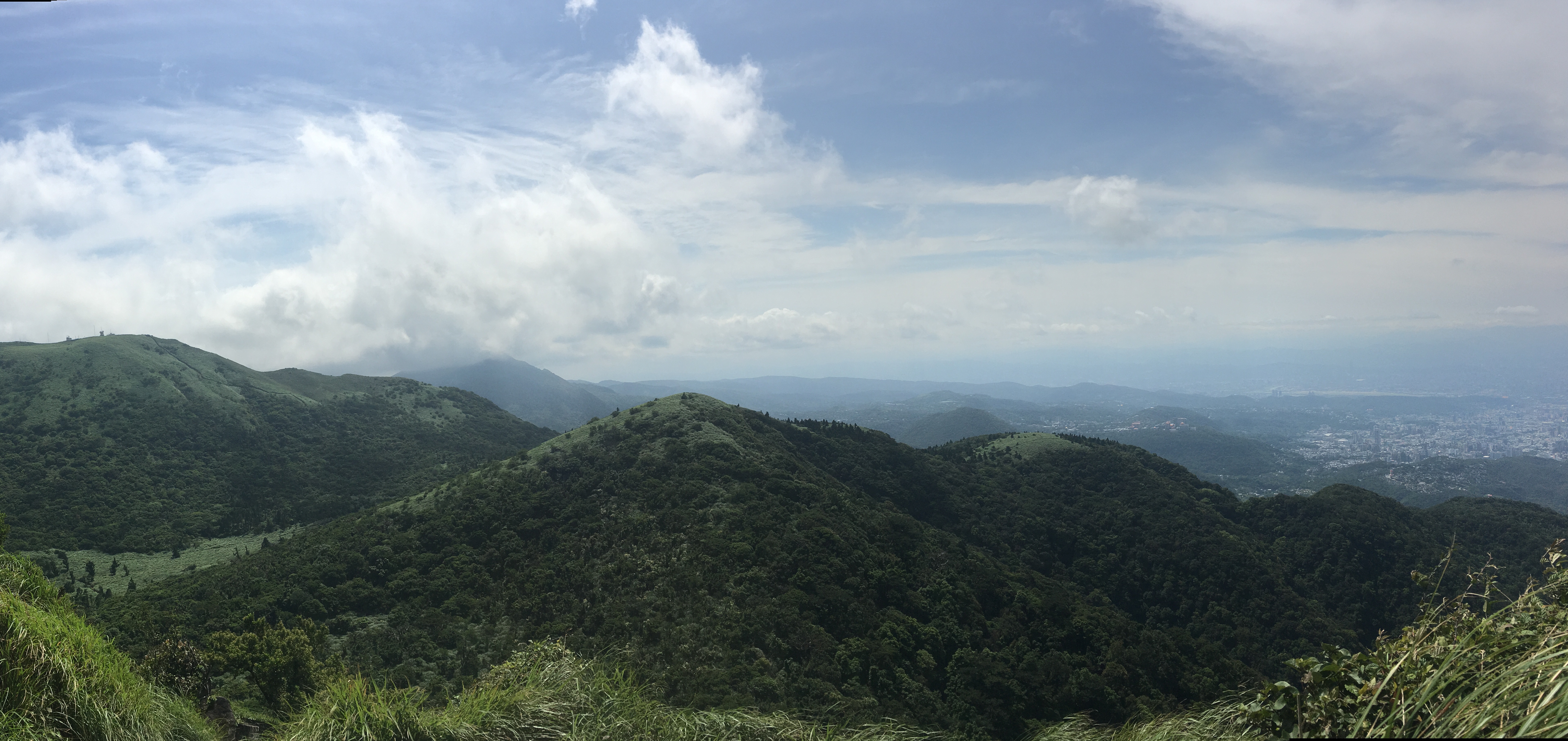 The second leg of the Taipei Grand Hike climbs some of the wilder peaks in the west of Yangmingshan National Park. This section starts from Erziping and takes in three peaks on the Datun Multi-Peak Trail before dipping down into the picturesque scenery of Dinghu. Then finishes by climbing along a stream to the steaming crater of Xioayoukeng.
TAIPEI GRAND TRAIL – SECTION 1 (臺北大縱走-第一段)
 The first part of the the Taipei Grand Hike has you putting in some serious legwork to make it all the way from the flat land of Guandu right up into Yangmingshan National Park. This section takes in art, grand tombs, an irrigation canal, and many, many steps.
GOUYINQIN OLD TRAIL ALONG WEILUN CANAL (狗殷勤古道/尾崙水圳/平頂古圳步道)
 Tucked away behind the National Palace Museum you’ll find the unassuming entrance to this trail. If you’ve eaten your fill of museum exhibits and choose to follow the old stone steps up the hill, then you will come face to face with one aspect of life in old Taiwan which is still very much alive. The historic waterways in this area have been supplying water to the farms here for generations, and what could be more soothing than walking alongside flowing water.
DAKENG TUNG BLOSSOM TRAIL (大坑桐花步道)
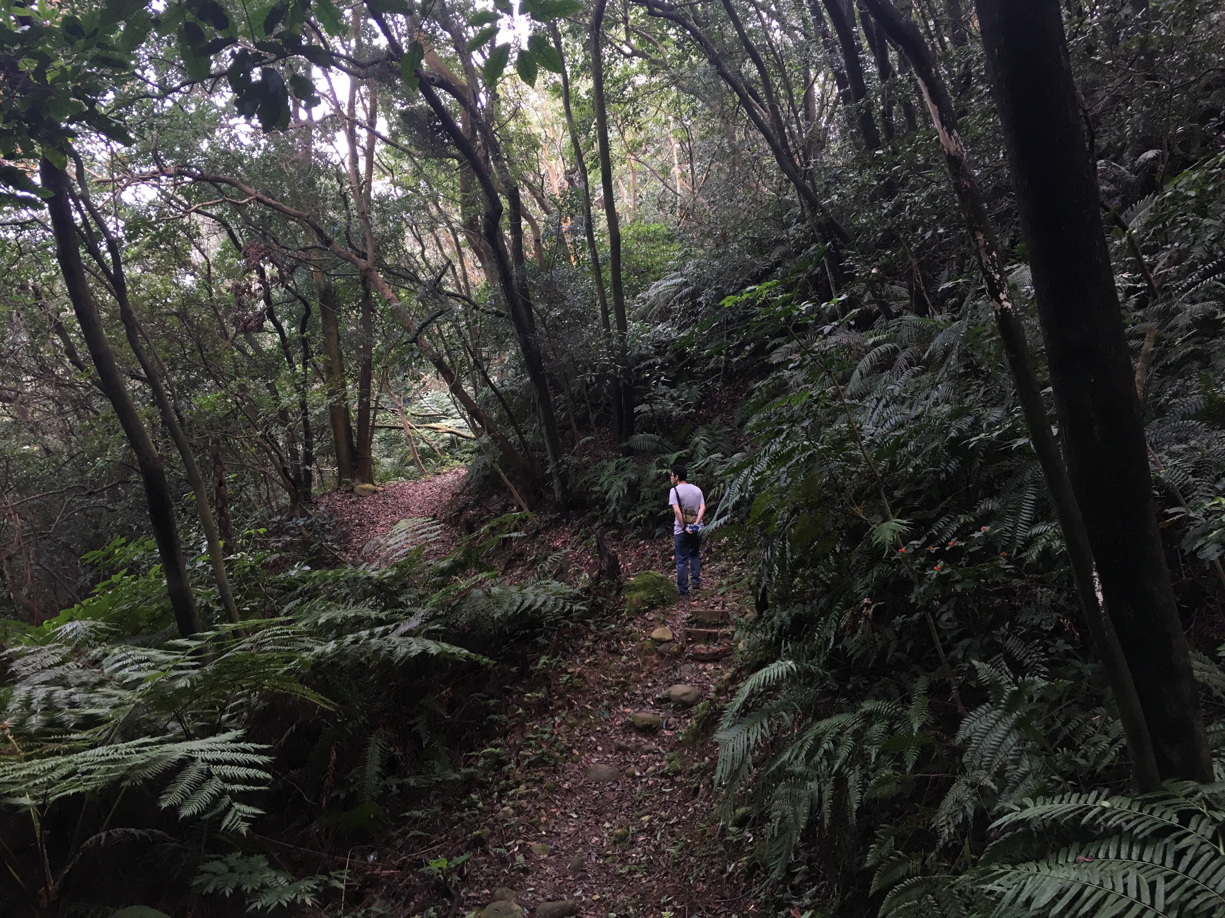 A quiet leg-stretch through the hills and farmland of Guishan township. Come in April or May to enjoy the tung blossom that gives the trail its name.
BEIDELAMAN GIANT TREES (北得拉曼巨木步道)
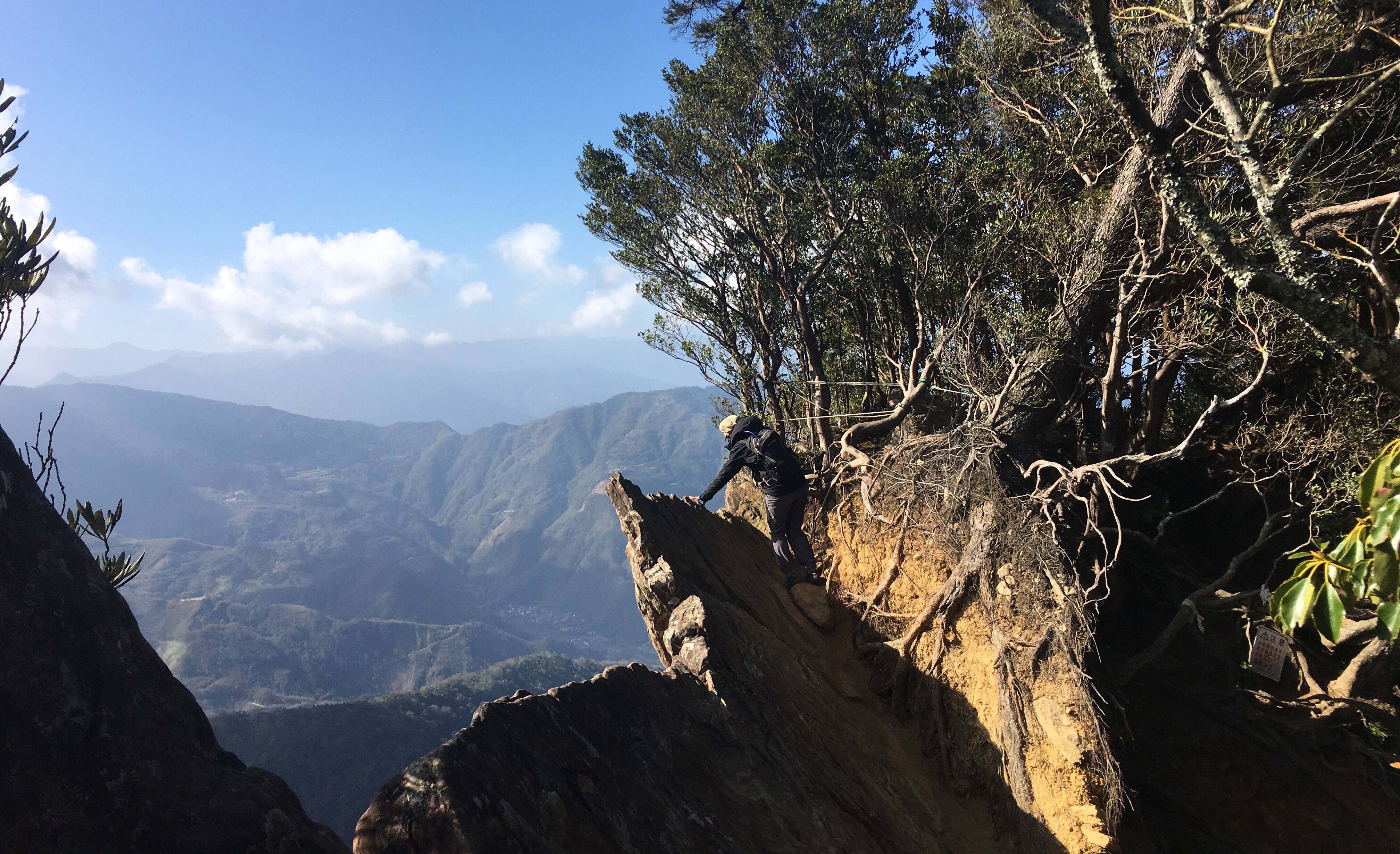 Although most of Taiwan’s giant trees are found in remote forests with permit-restricted access, there are some just a short drive out of Taipei which can be seen by anyone willing to make the climb. (And who wouldn’t be willing to put in a bit of effort to visit these venerable old spirits.)
 Taiwan Trails and Tales