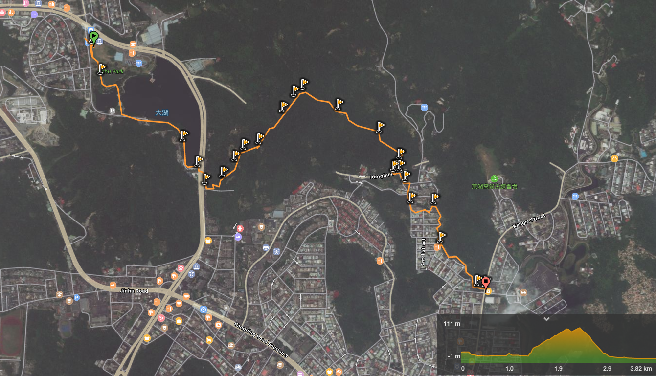
Distance: 3.8km – this doesn’t include the cycle/walk back to the MTR station from the end of the stream section.
Time: 1 hour and 20 minutes – again this doesn’t include the final getting back to the station part.
Difficulty: 2/10 – there are some unpaved sections, a couple of steep sections, and signposting isn’t great, but the walk isn’t really physically challenging.
Total ascent: 120m to a high point of 111m.
Water: we went on a hot summer day and got through about 1.5L between the two of us, but in cooler weather you wouldn’t need nearly as much.
Shade: patchy – I needed my umbrella a lot.
Mobile network: mostly ok I think.
Enjoyment: I enjoyed parts of this walk, (Dahu Park is lovely, some of the more natural sections of path were fun, and the walk down along the stream was a unique experience), but overall it was nothing too special.
Jump to the bottom of this post for a trail map, GPX file, and transportation information.
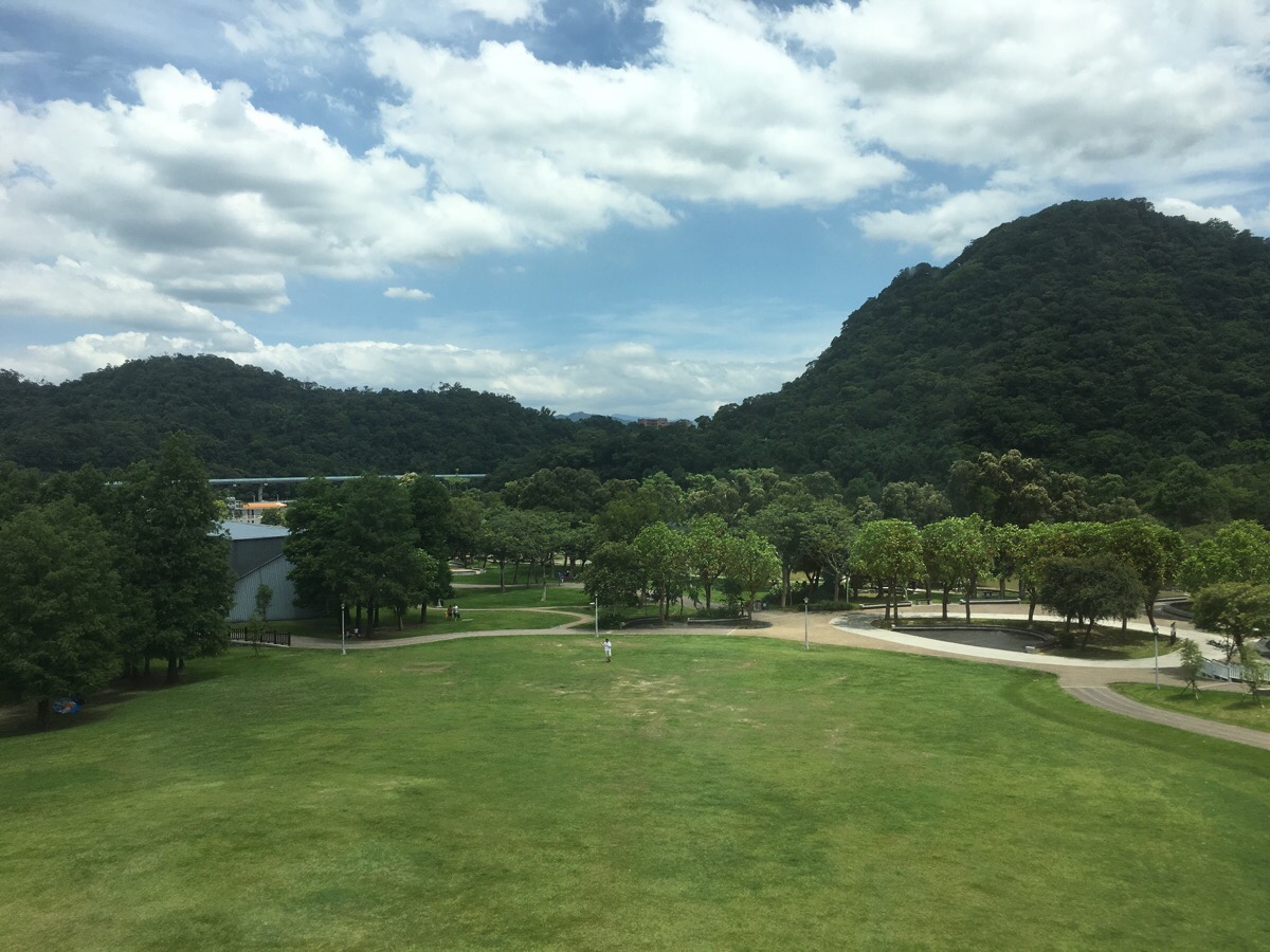
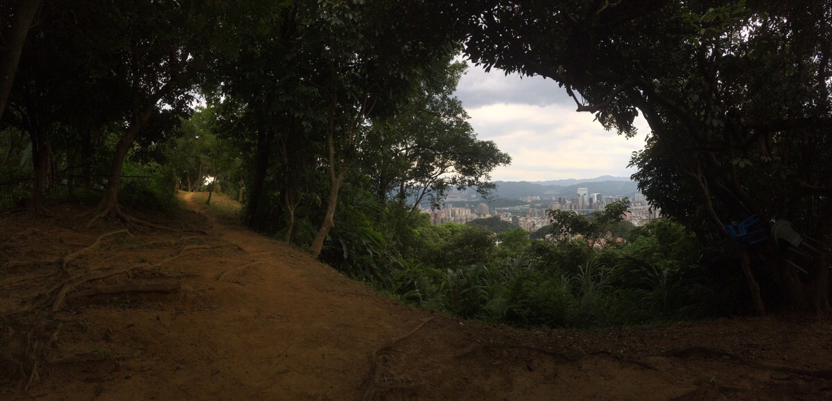
This walk starts from exit two of Dahu MRT station. As you head towards the escalator, you can get a first look out over the park. The start of the trail itself can be found in the dip in the tree line just to the left of Egret hill, (the highest peak in the picture).
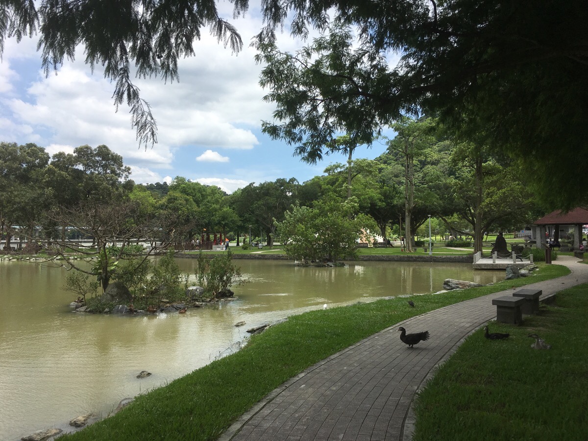
You can walk through the park over the moon bridge, keeping the water on your left, or walk around the right edge. Both will get you there. We chose to walk through the park since it was the prettier option. As we walked through, we encountered a strange family comprised of two ducks and a young Taiwan goose. The ducks seemed to be taking their parental duties very seriously and were following the gosling around beak-to-tail. Near the moon bridge, we watched a fisherman pull a fish out of the water, slam it violently against the path, then again on a rock on the side of the lake before dropping it back in. A man, and a mother and daughter challenged him about what he was doing, and although we weren’t close enough to hear, I assumed it must be an invasive species that the fishermen are trying to reduce the numbers of, (we’d seen another of the same species dead earlier on). A little googling later suggests that this is really the case – they were bottom feeding ‘rubbish fish‘ which have apparently been affecting the ecosystem. I was quite please to see that there were locals who were willing to call out his behaviour. I wouldn’t have expected anyone to say anything.
After following the water to its very far end, the path arrives at a double temple, (the trail head for the Egret hill walk is here), and we headed to the road then crossed under the MRT line and headed right.
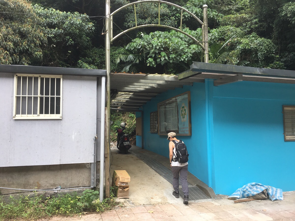
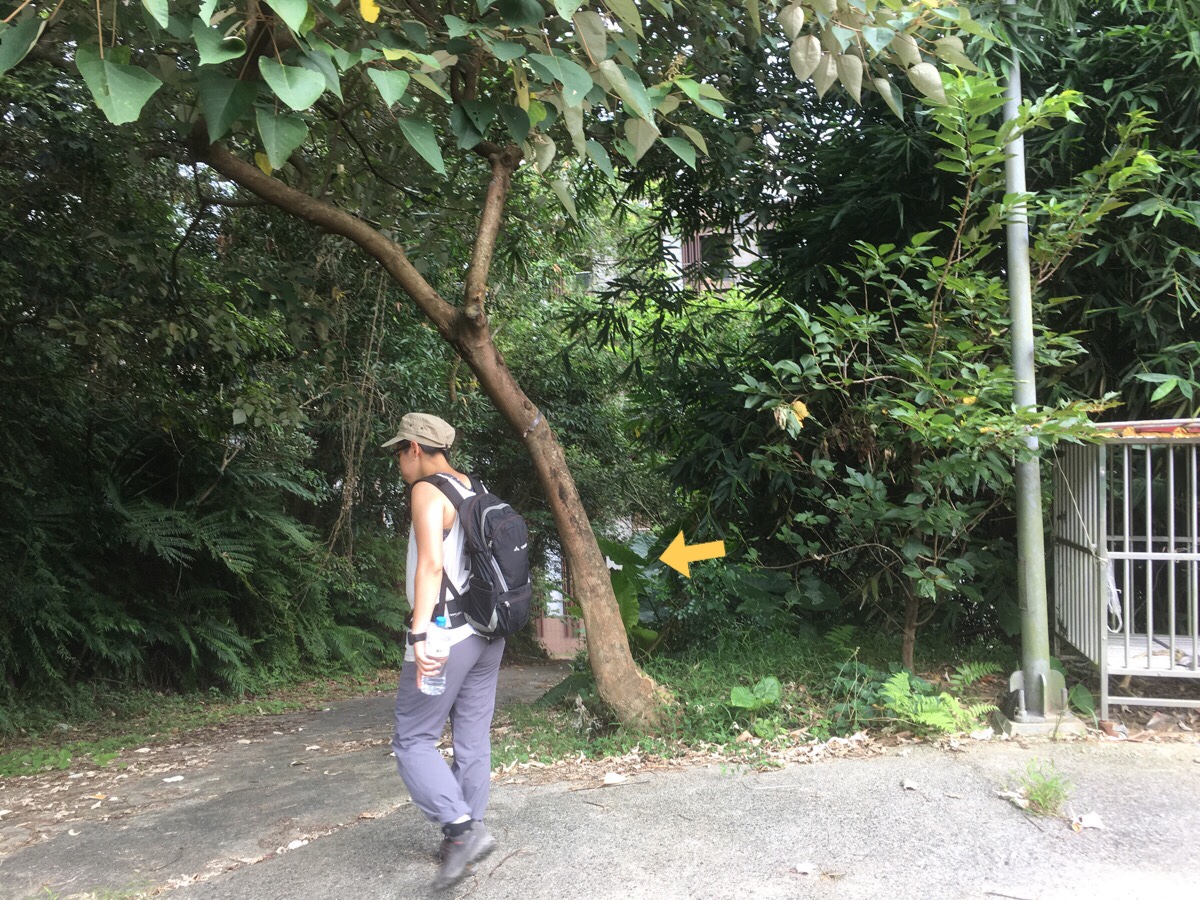
A small sign against the building indicated the start of the trail, but it would be very easy to miss it as it disappears between some buildings.
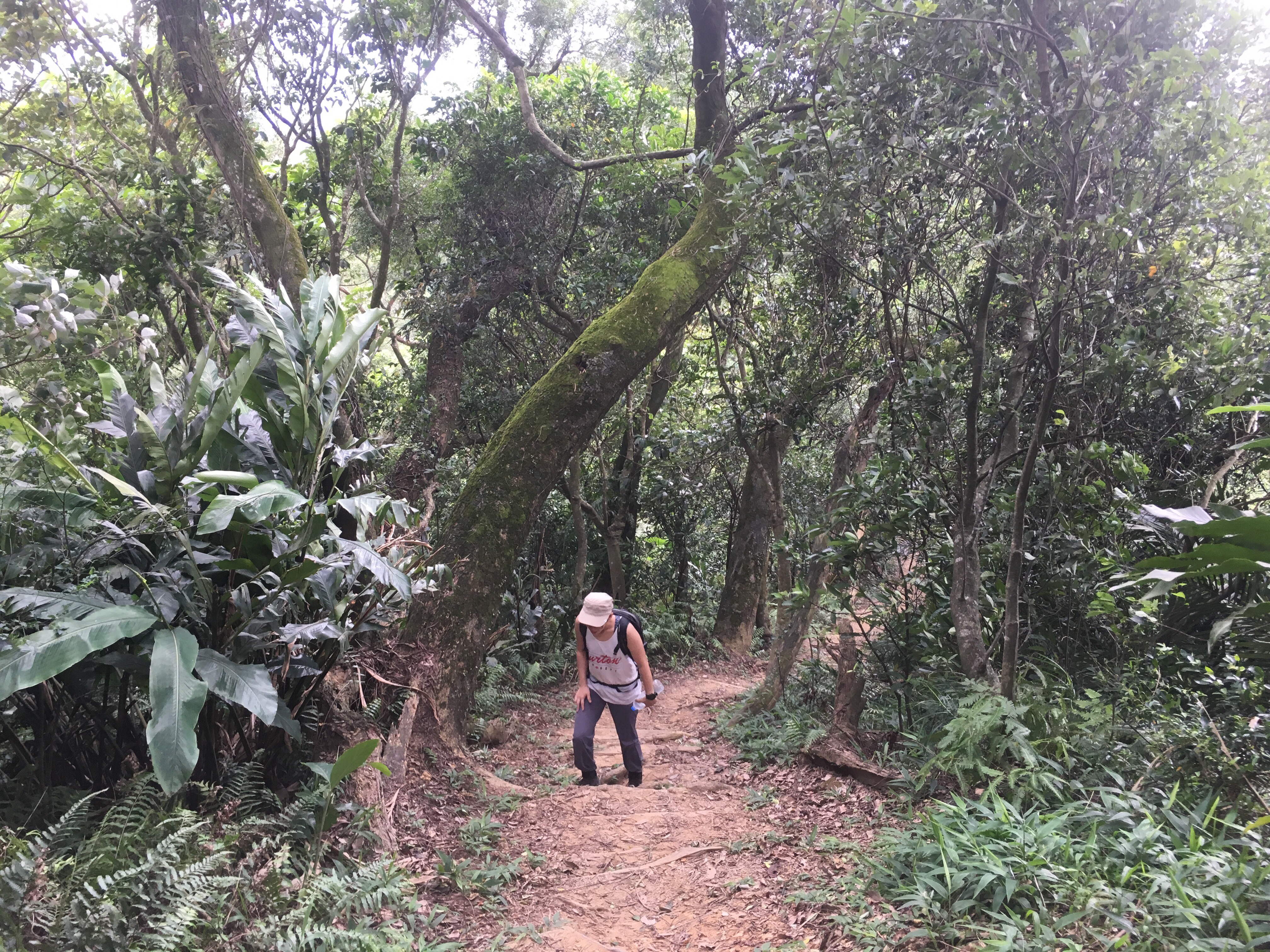
At first, the trail starts up some concrete steps, then passes another house. Then a little way further it crosses a small (rubbish-filled stream) and enters a small patch of farmland. Ten minutes into the walk and just beyond the farmland is an abandoned building and here the concrete trail terminates. A sign seems to be warning people against continuing, but it just says be careful since the path beyond isn’t maintained.
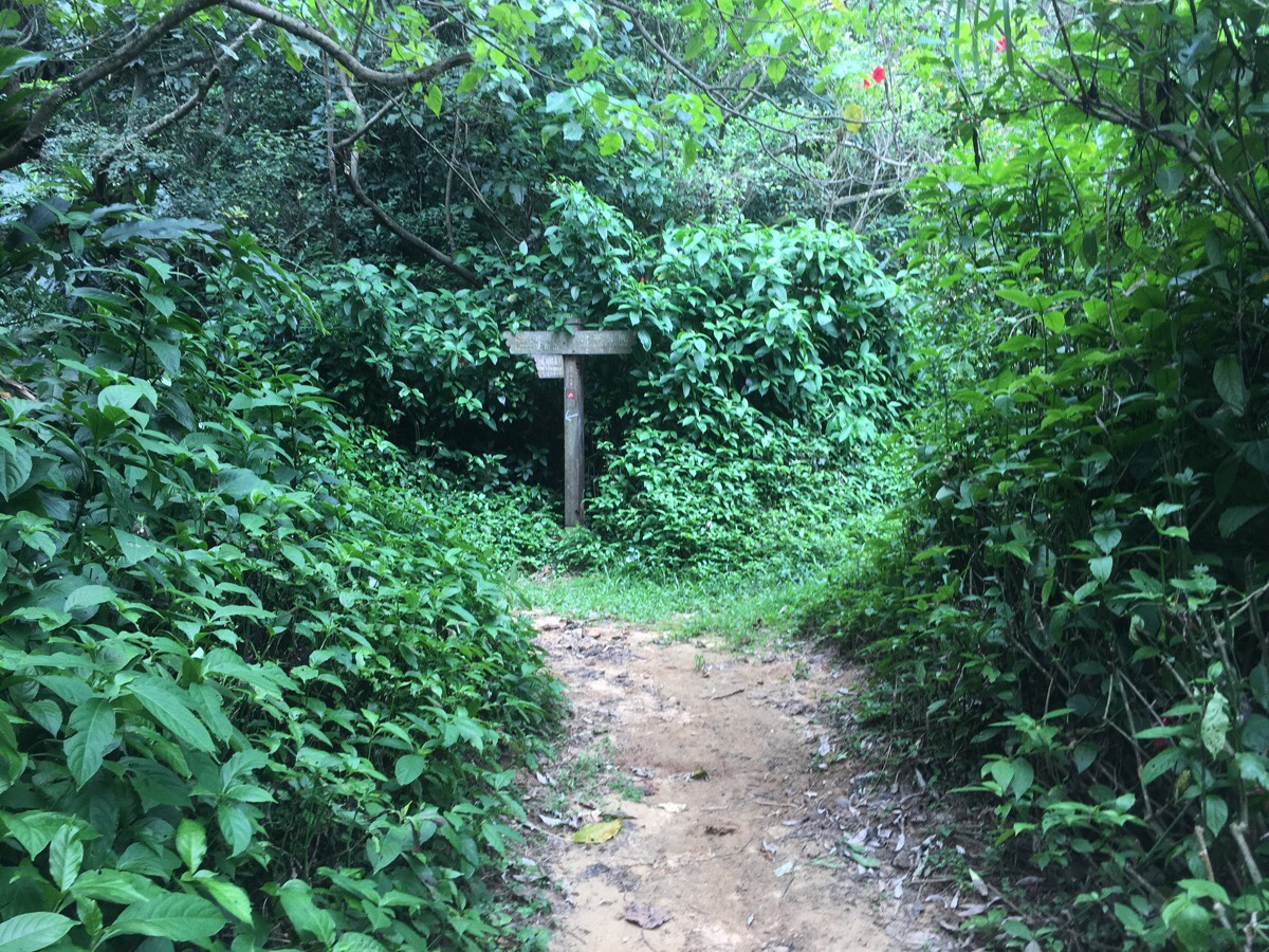
Past another abandoned structure, the path arrives at a junction. Left up towards Kangle Shan – the right hand path just goes back to the road.
The section between here and Kangle Shan was quite pleasant. Some ups and downs, but nothing challenging. It reminded me somewhat of my old stomping grounds over at Yangchou Trail, (although that one is definitely better). Teresa complained up a storm about the heat, but I’d been stuck inside due to illness for two consecutive weekends, and any other free time over that past month has been lost due to poor weather – I was going up a hill or I was going crazy.
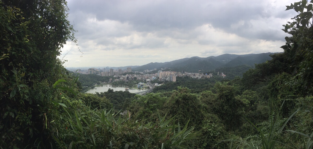
20 minutes after leaving the road, the path arrives at the first of two views that you’ll get on this hike. This one is a quite pretty look down over Dahu Park.
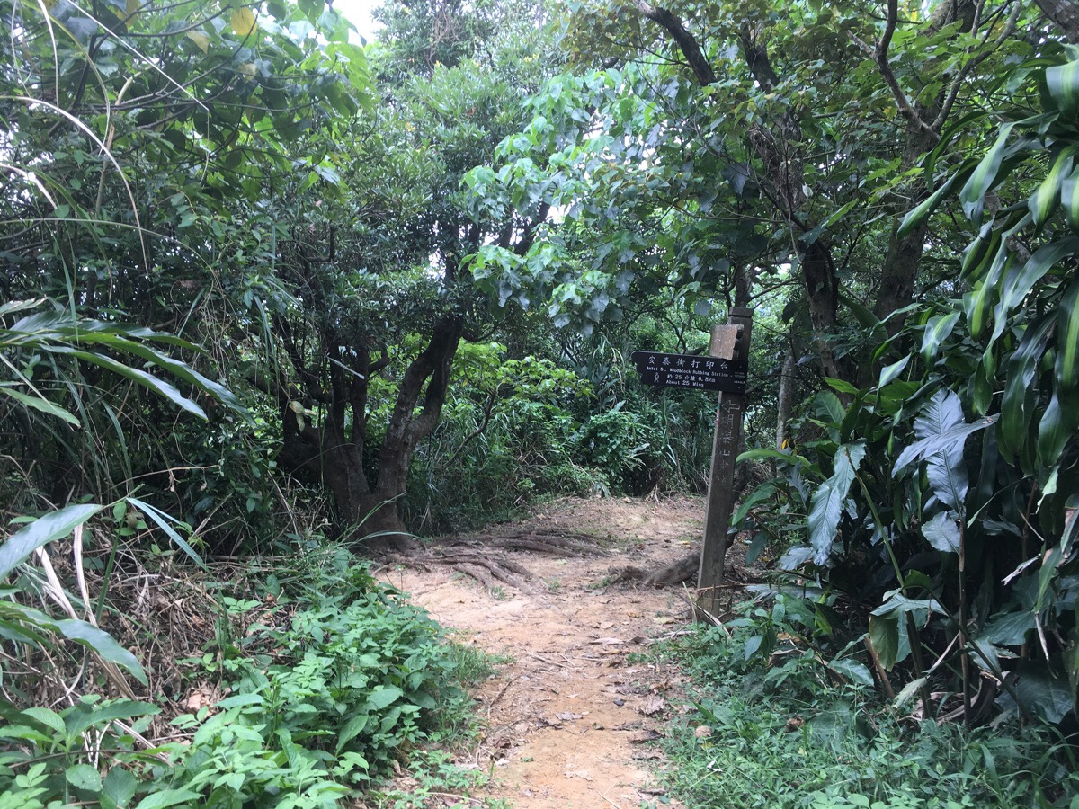
Continuing on from the vantage point, the path reaches a fork. We wanted to do the Kangle Shan trail so we headed right. We’ll have to come back some other time to check out the other route. It seems like there might be a small lake there to that I’d like to find, and there are a whole load of little paths connected.
The first sign that we’d reached our goal was this natural window frame on the southern edge of the hill.
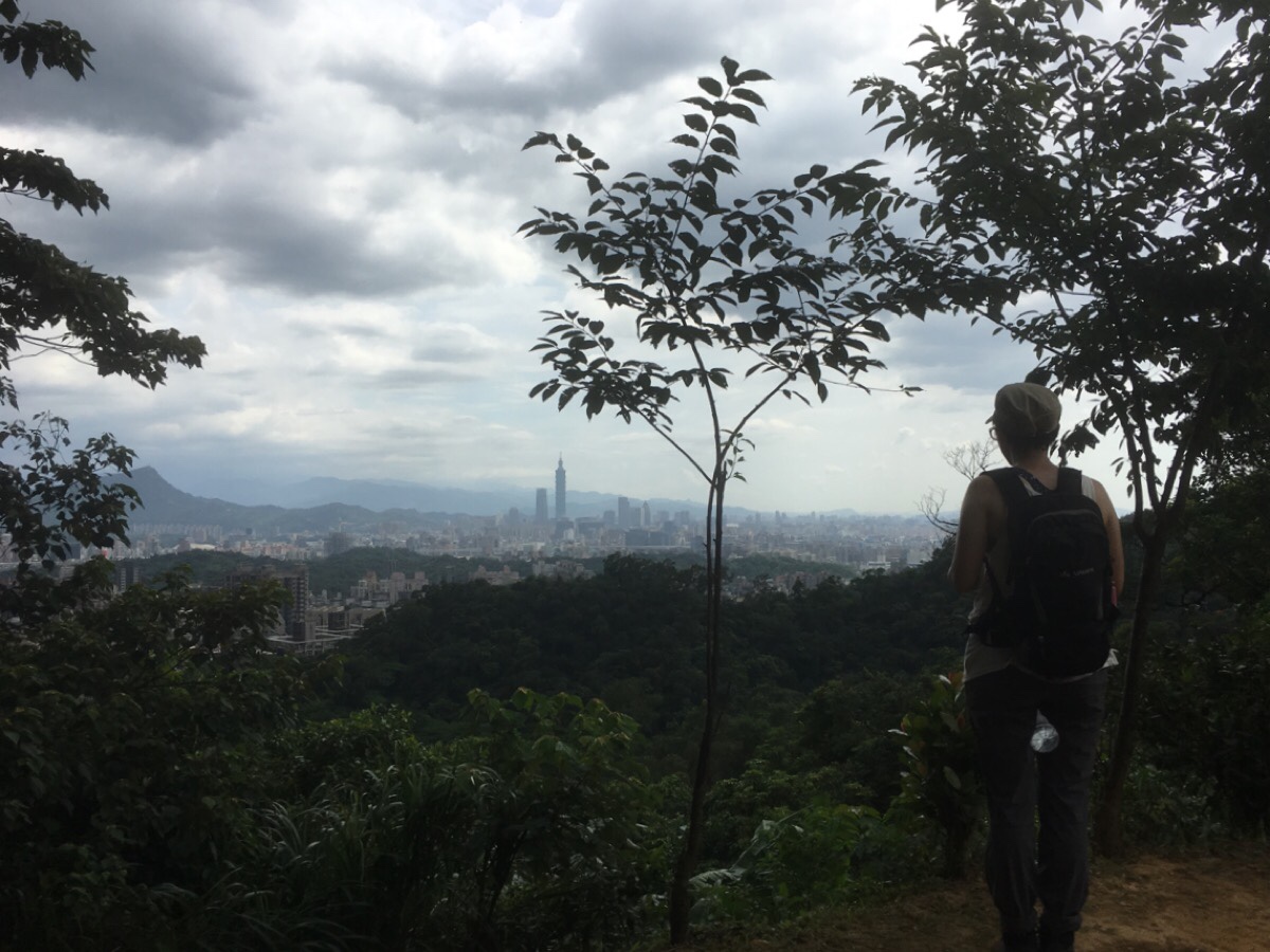
From there the path leads up to the proper top of Kangle Shan – foot-flattened earth around a trig point and a gathering of hiking tags collected on the branches of a tree. A sign indicates that the peak lies 121 metres above sea-level – not nearly as as high as the distance Taipei 101. From this angle, the building looks quite far away from the Nangang Shan ridge – (and how steep that looks! No wonder the ropes are so vertical.) We watched a plane drop in to Songshan airport from the east – they always look too close to the buildings when you’re up a hill.
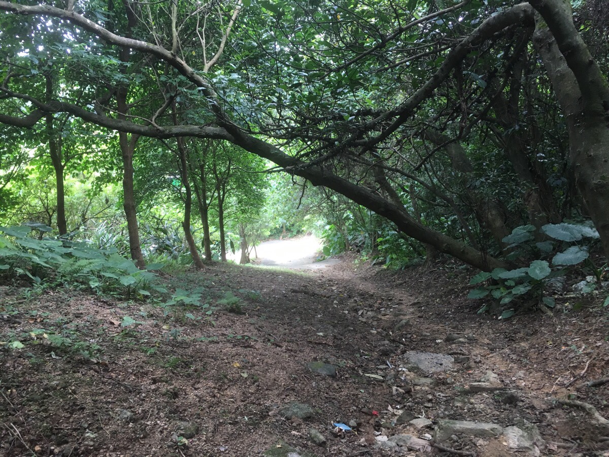
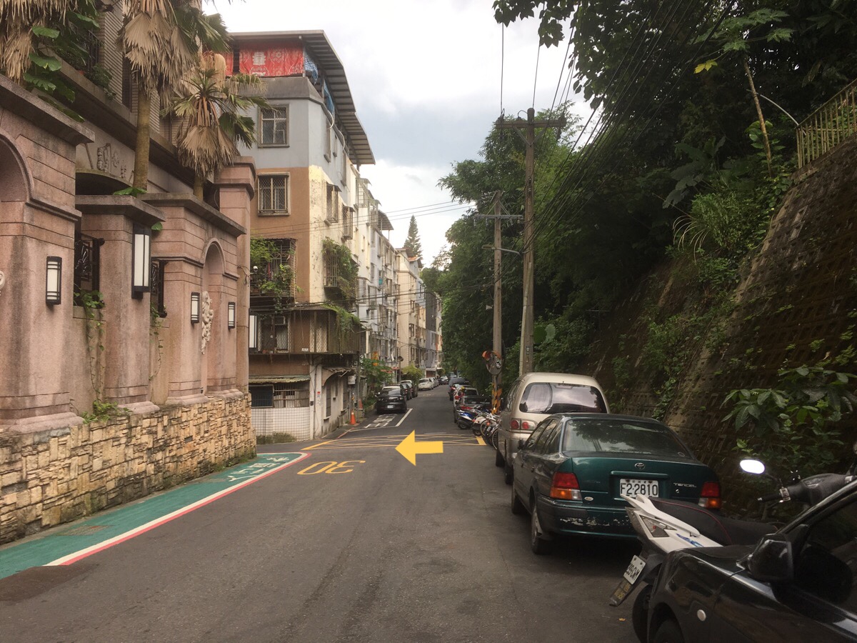
Gathering grey clouds drove us along the path, and we very soon found ourselves back on the road.
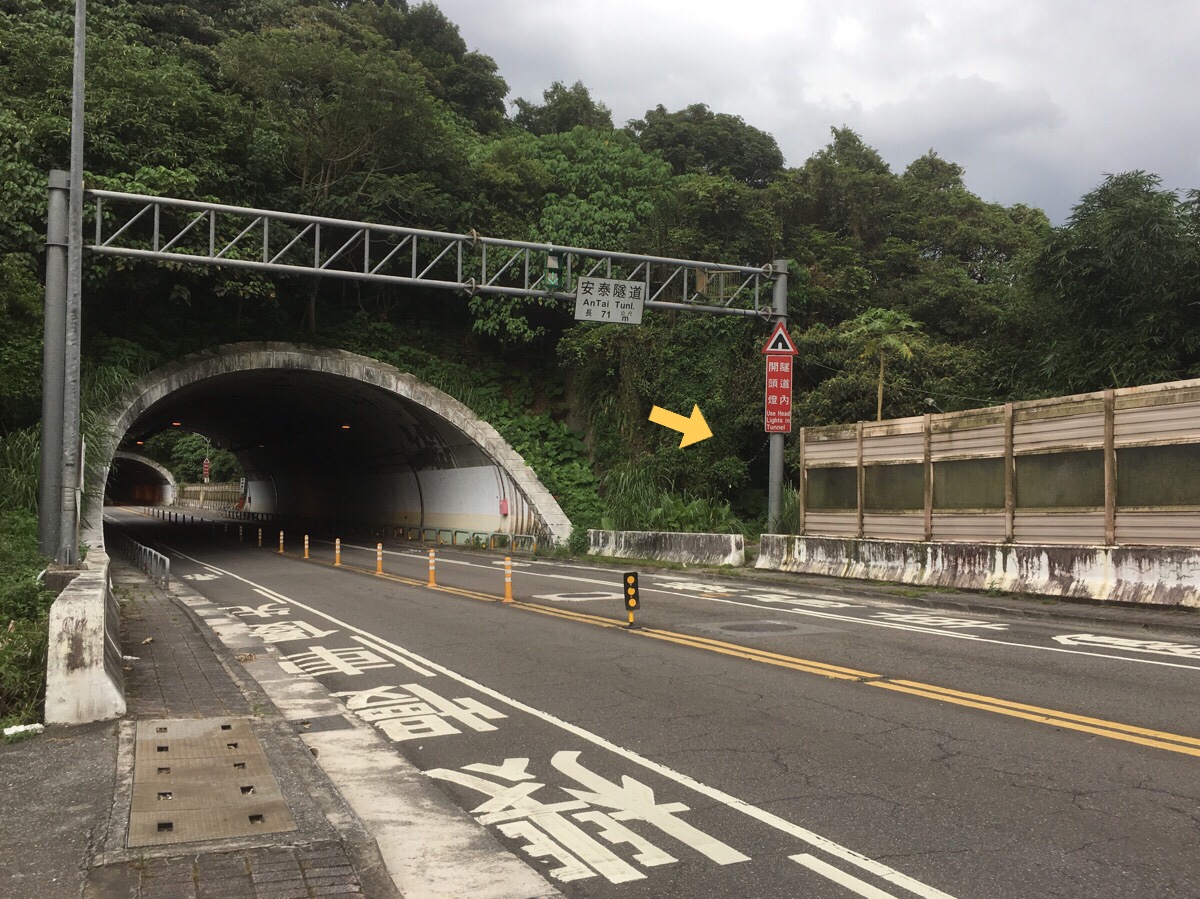
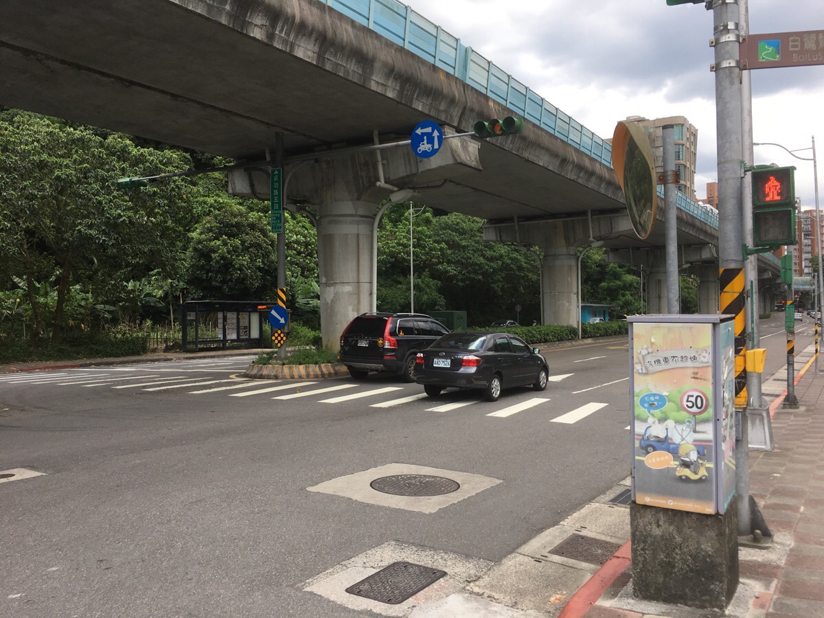
Its an odd stretch of road, it doesn’t really seem designed to be visited by pedestrians, and it felt weird to cross in front of the mouth of An Hai tunnel. On the opposite side of the road, we cut through a gap in the concrete road barrier.
Just the other side of the barrier was a container/hut which looked like it may have been lived in, but wasn’t any more. On the right we saw farmland through the trees, and then at the bottom of the shirt lane we headed left towards a bigger road. Upon reaching the junction with Antai Road, we turned right downhill. I’d noticed that there was a path along a stream that I’d hoped to find.
The second junction on the left is Lane 83. If you look up to the second or third floor of the corner house you might spot the incense burner of a private temple. It seemed kind of incongruous to see it up there, but perhaps I just haven’t been observant enough to notice this kind of place before.
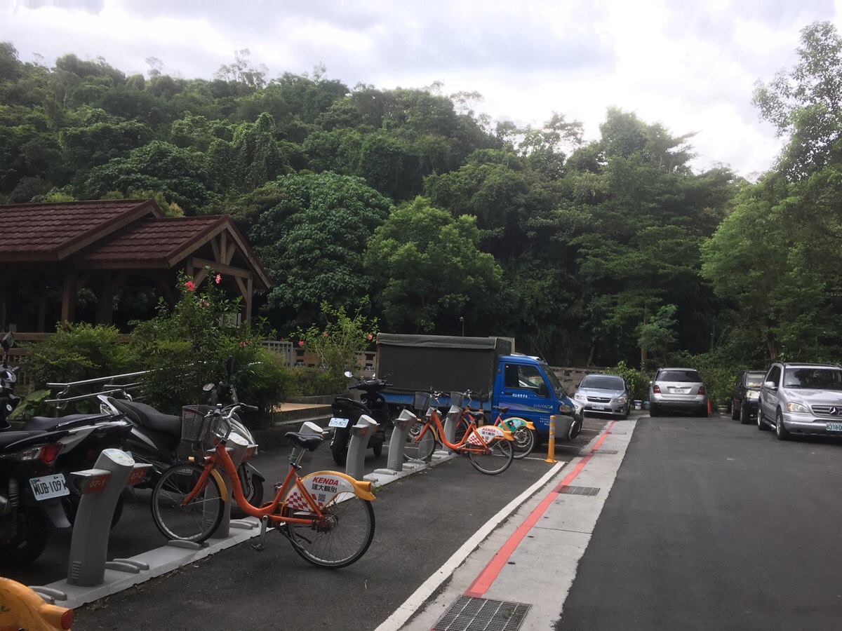
Just after the YouBike stand we crossed the little wooden bridge over the water, then bore right and followed the stream as it flowed downwards.
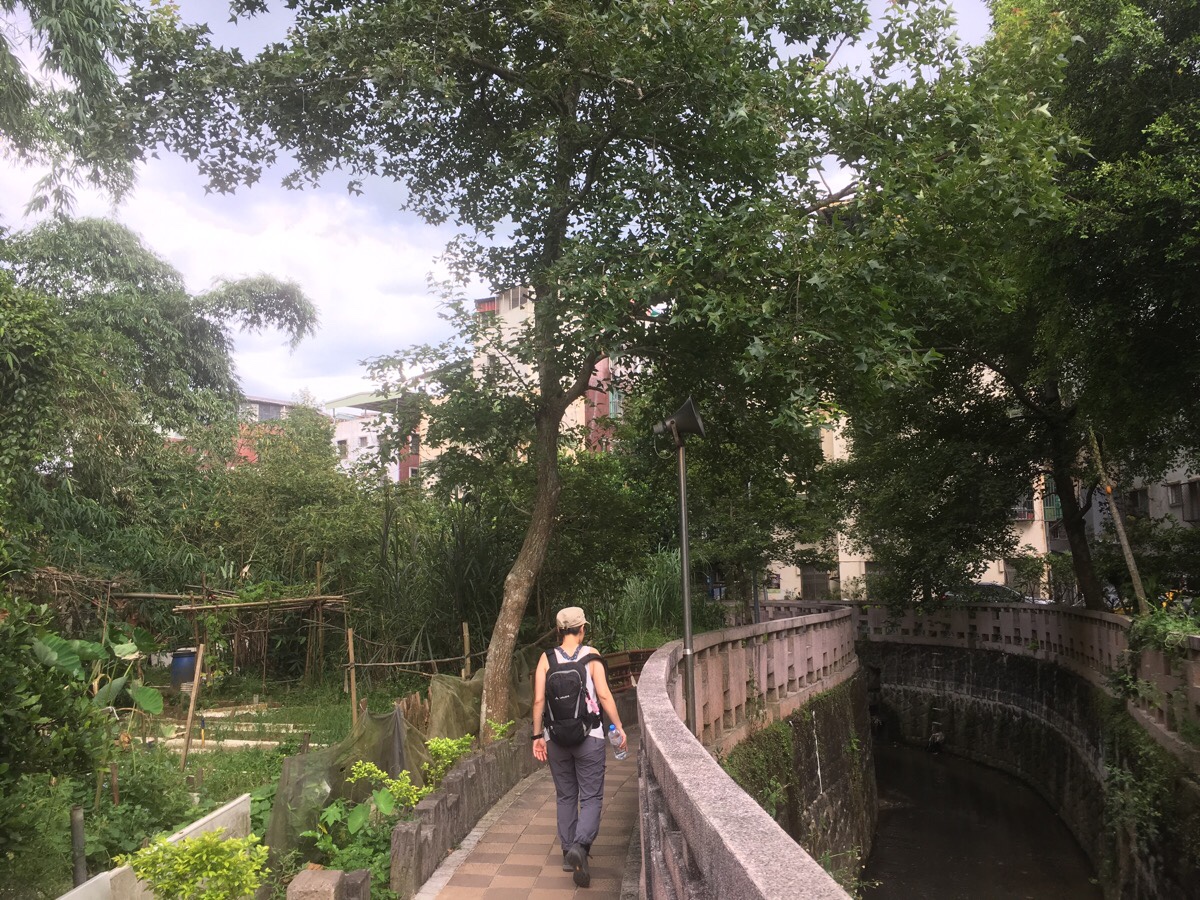
This was the first time I’ve come across this type of environment in Taipei – on the right was the water, and beyond that were houses, but the land on the left had been kept as a narrow strip of allotments. There wasn’t anyone out tending to them in that heat, but they seemed well-cared for. Indeed, the whole little area seemed to be looked after as there were signs of community all the way down. Statues here and there, a free library inside one shelter and portraits of birds hung up by another shelter/bridge that seemed to be a popular spot with the local grandpas.
We followed the water until it met up with Antai Street again and another YouBike stand—there, we got bikes and headed back to the MRT Station.
How to get there
Google Maps address: the trailhead is across from Huangshigong Temple on Section 5, Chenggong Road.
GPS location: the trailhead near Dahu Park is at N25 04.648 E121 36.433. The trail emerges the other end at N25 04.689 E121 36.931.
Public transport: this is easily accessible by MRT. I walked from Dahu Park Station, but the trailhead is about equidistant from Dahu Park and Huzhou Stations. The end of the trail doesn’t have an MRT, but there is a YouBike stand which you can cycle back from.
Nearby trails:
Kangle Shan Trail Map
GPX file available here on Outdoor Active. (Account needed, but the free one works just fine.)
My new words learnt on this hike:
- 別傻了 / bié shǎle / Don’t be silly – I’ve heard this a lot, but not really consciously understood it.
- 直到 / zhídào / until
This is the bit where I come to you cap in hand. If you’ve got all the way down this page, then I can only assume that you’re actually interested in the stuff I write about. If this is the case and you feel inclined to chip in a few dollars for transport and time then I would appreciate it immensely. You can find me on either Ko-fi or Buy Me a Coffee.
