Egret Hill is probably not on most people’s radar, but if you’re looking for a place for a family stroll, a lazy day walk then it’s definitely worth considering. As well as offering a short and straightforward walk through some pretty trees, the path leads you back to the MRT station via the beautiful Dahu Park.
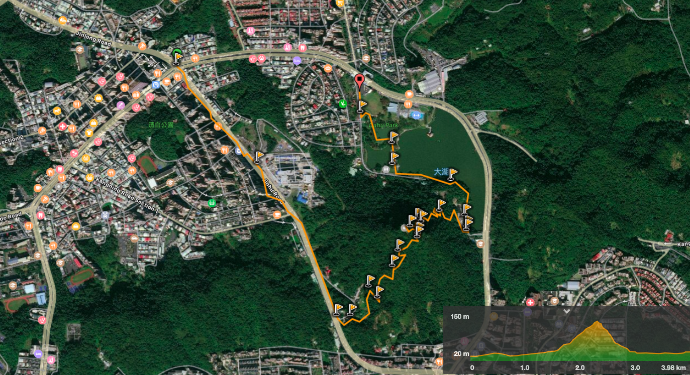
Distance: 4km
Time: About an hour and twenty minutes from station to station, but could be quicker if you’re just out for the exercise.
Difficulty: 1.5/10 – It is only not a 1/10 because there are some steps, I think this is short and gentle enough for most people, even those who are out of shape or not regular hikers.
Total ascent: 130m to a maximum elevation of 150m.
Water: A regular water bottle should suffice. Plenty of the local grandpas were powering up there without any liquids at all.
Shade: On and off—the sections of the hill are not at all shaded and I needed an umbrella.
Mobile network: Good throughout.
Enjoyment: If considered as a pre-work workout, a family walk or (very) lazy weekend amble then it’s a good choice. But if you’re looking for excitement, then definitely try somewhere else.
Jump to the bottom of this post for a trail map, GPX file, and transportation information.
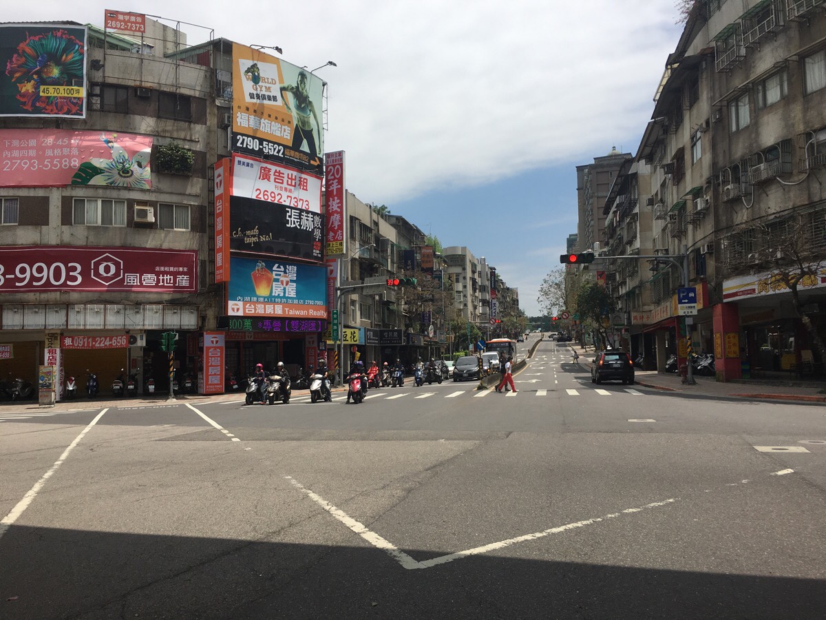
From Neihu station, walk south up Jinhu Road. On the left along here you’ll pass the American Institute in Taiwan, and then a little further up on the right is an interesting-looking bar that I might check out sometime in the future.
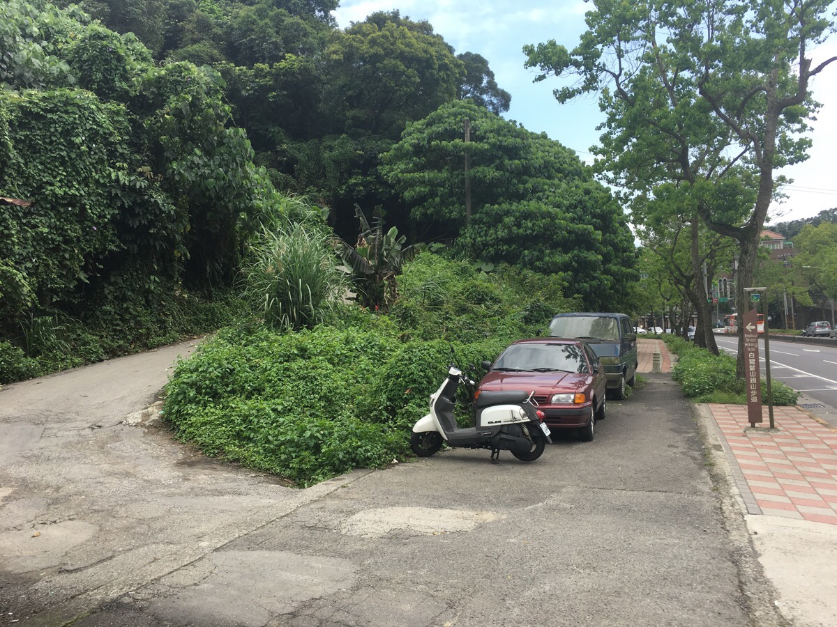
After 10-15 minutes of walking along the road, I spotted a brown sign indicating that the trail starts up the lane to the left.

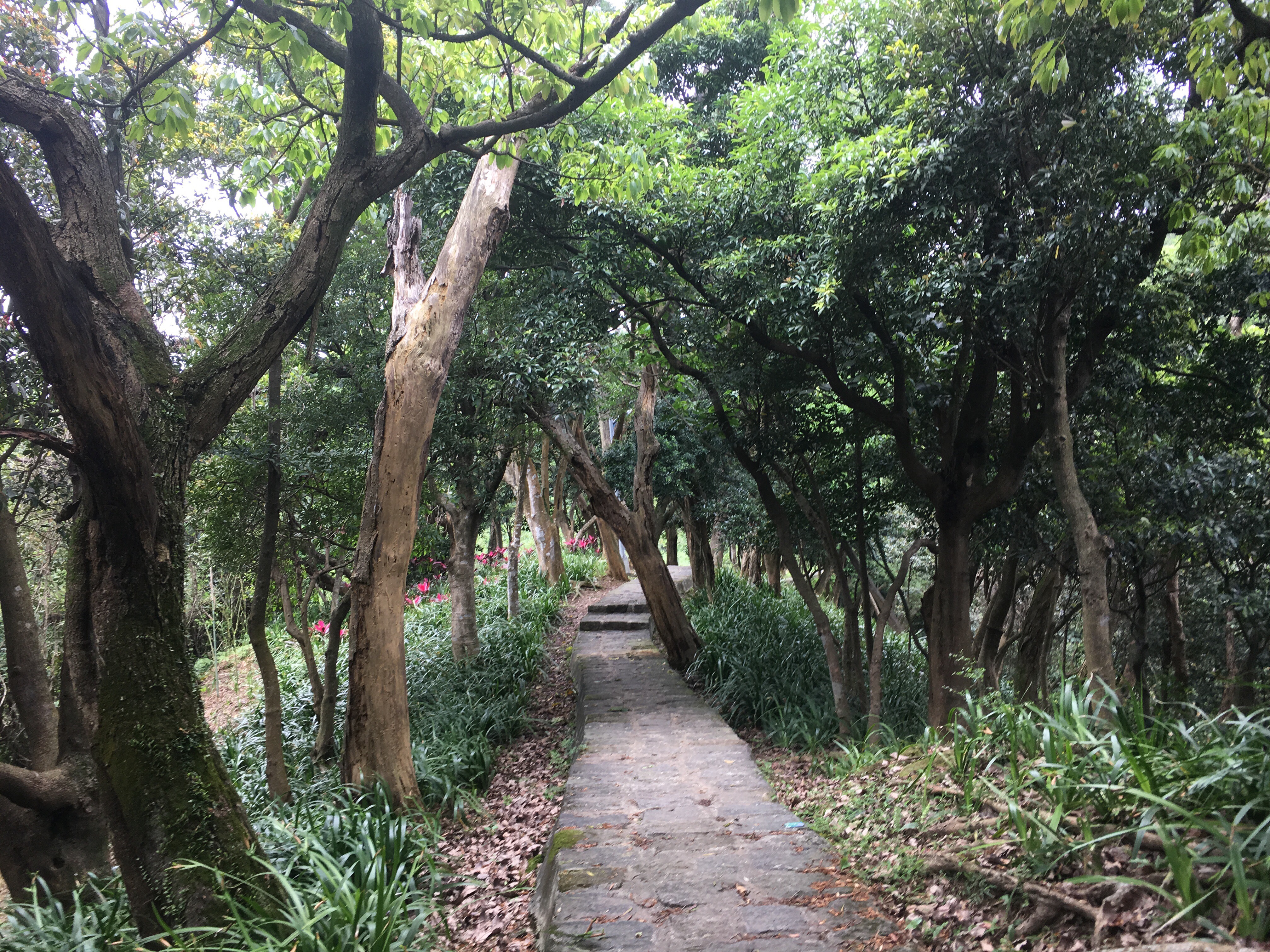
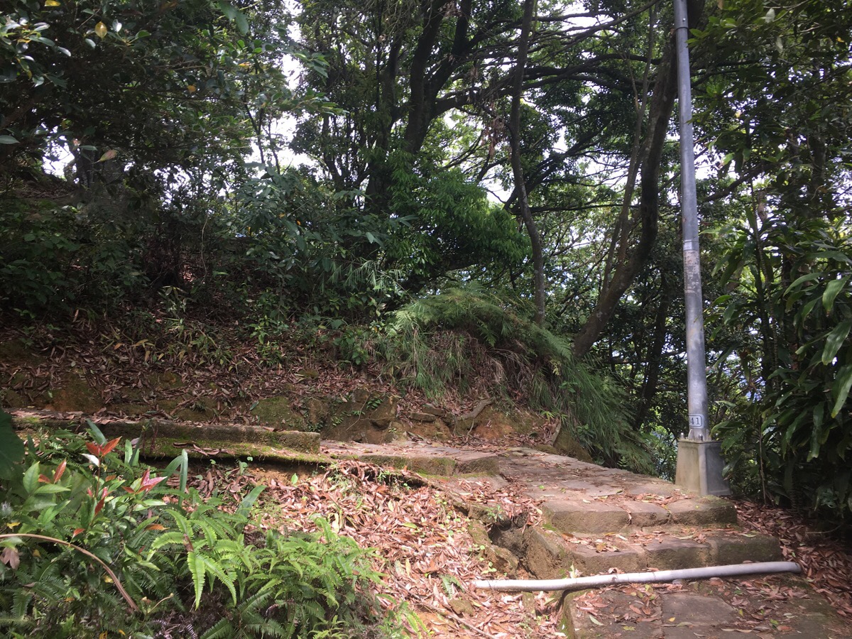
Less than 100m up the lane there is a stone and a trail plaque marking the entrance to the Egret Hill Trail. A sign here which says it is a 1km and 30-minute walk up to the top of the hill, (it took me 20 minutes at a very gentle pace). As it heads away from the road, the path leads up through allotments and winds around the hill past a shelter.
I found the path to be unexpectedly pretty in places. It is paved the whole way, (although there is also an alternative natural trail which takes a more direct route uphill), but it is still a pleasant walk.
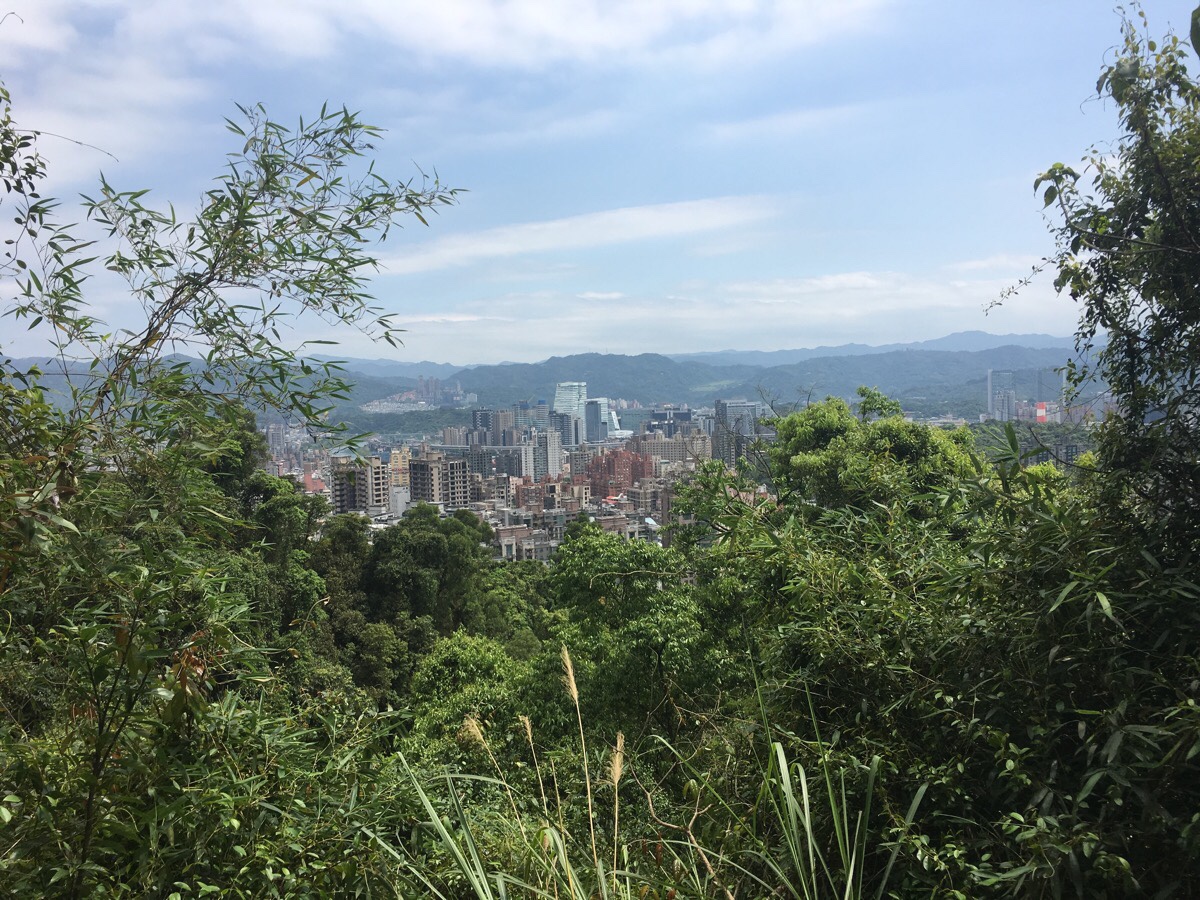
As the trail climbs higher, there are a couple of spots which give you views over the surrounding city. Here the trees part to show you Nangang, (the large building is the CTBC Financial Plaza).
Near the top, a side trail heads off on the right, (marked on my map as being 白鷺鷥山親山步道支線 – this seems more like a straight line so I would expect it to be steeper and a little tougher). Keep to the main path and head up towards the shelter.
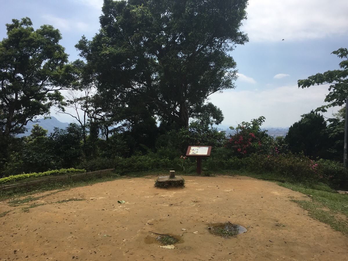
People have built a shelter with chairs, exercise equipment and a foot-massage path adjacent to the trig point at the top. The peak itself is not especially noteworthy, so I continued down the path on the right here.
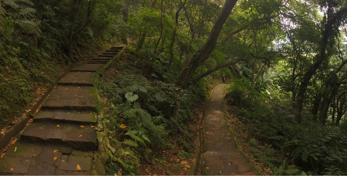
The way down is gentle and never too steep thanks to the construction of a zigzagging path. At times I find this kind of path irritating since it seems to be taking an age to get where it’s going, but in this case I really enjoyed it. With temperatures climbing to nearly thirty in recent weeks, I was grateful for the chance to linger in the shade of the trees.
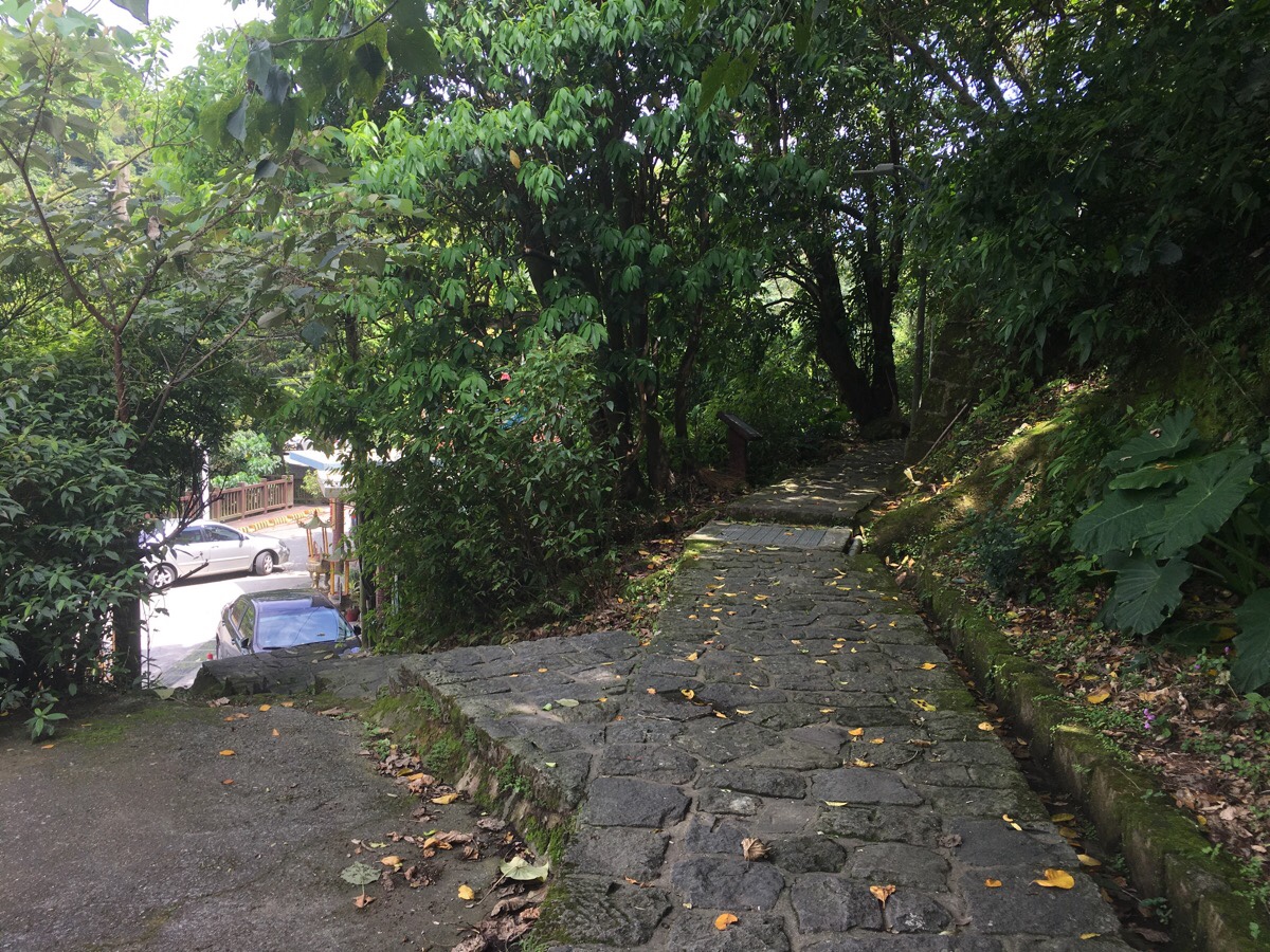
All too soon, (20 minutes or so after leaving the peak), I found myself at the road. Here you can either turn left down the steps and turn left again by the small temple or continue straight for another few metres and then turn left. Either way, this is the end of the trail.
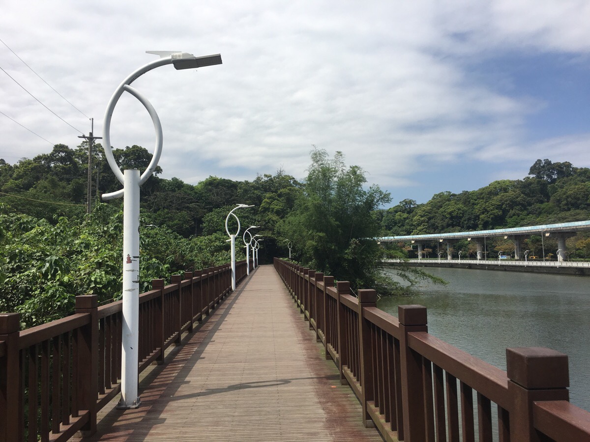
After turning left, the path becomes a wooden walkway over the narrow bottom end of the big lake for which Dahu is named.
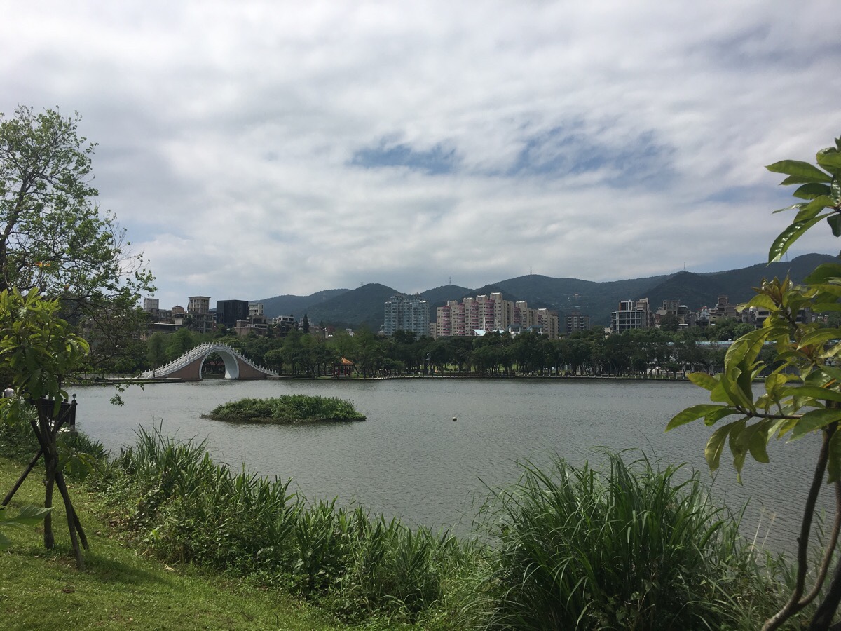
The pictures don’t do the park justice. It is a really lovely park. The array of birdlife here is especially interesting. Shortly after taking this picture, I stopped on a boardwalk near the floating island to get a better view of the bridge and the terrapins who had pulled themselves up onto the side of the island to sunbathe. As I watched, a moorhen (in Mandarin, they are called 紅冠水雞, or ‘red-crowned water chicken’ – simultaneously more exciting and duller than the English somehow), swam towards the deck which caused her two tiny chicks to make a dash away from the safety of the island to follow her. The more timid one stayed close to the grass, but the bolder, (or hungrier), of the pair kept following her, indignantly chirping for her attention. As I watched, a local man commented that these bird are kind of odd since they don’t have webbed feet like most waterbirds. He chatted to me a bit more about Taiwan, China and feeding bread to ducks.
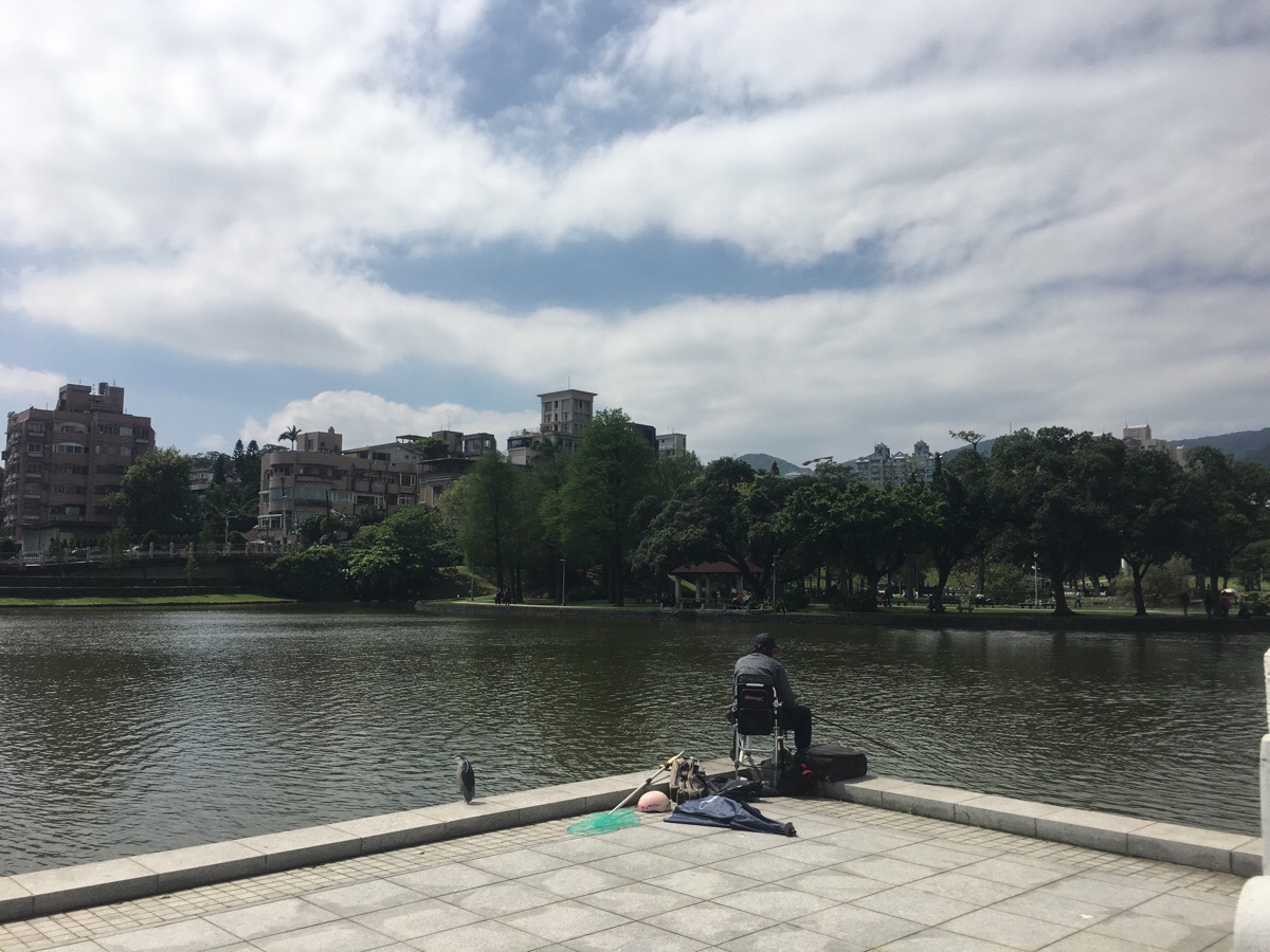
Continuing on through the park, I crossed the moon bridge. Right next to the bridge was this pair of fishermen. The one on the left is a black-crowned night heron, one of my favourite species here. I love how perpetually surly they look.
Further on I encountered a family feeding the ducks that had gathered on a small island near the shore. As well as mallards, there were egrets, more night herons, a moorhen, a black drongo and a grey treepie—the last, a haughty-looking thing which would swoop down to steal food from between the pair of night herons that were engaging in some kind of Mexican standoff over who got first pecking rights.
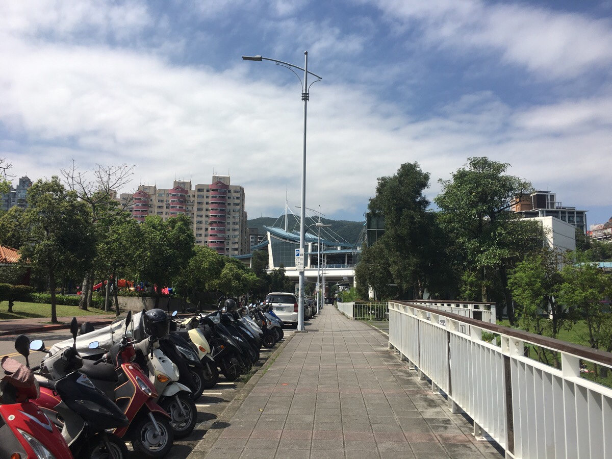
After enjoying my fill of birds, I made my way to the northwestern corner of the park, where you can find Dahu MRT station.
How to get there
Google Maps address: 白鷺鷥山步道西登山口, 114, Taipei City, Neihu District – this is the trailhead from the Neihu side. From the Dahu side you can find the entrance next to a small temple.
GPS location: The trailhead on the Neihu side is at N25 04.526 E121 36.094, and from Dahu it is at N25 04.709 E121 36.379.
Public transport: Both trailheads are easily accessible from the Wenhu (brown) Line.
Further reading: This has been written about by a couple of people. Here is is covered in a post which also covers some of Neihu’s other hills.
Nearby trails:
- Bihu Trail Carp HillDragon Boat Rock and Yuanjue WaterfallKangle ShanNeihu Double Heart LoopTaipei Grand Trail – Section 4
Egret Hill Trail Map
GPX file available here on Outdoor Active. (Account needed, but the free one works just fine.)
My new words learnt on this hike:
- 人情味 / / human touch, humanity (in the sense of how we treat other people)
