Distance: 4km – this is from station to station, the trail itself is only a little over a kilometre.
Time: about an hour, but I was dawdling. It would be possible to do it quicker if you were out to exercise rather than wander.
Difficulty: 1/10 – there is a small number of steps, but never too many at once. The path is well-maintained and wide, and it should be impossible to get lost.
Total ascent: 60m – this sticks to the base of the hill without going up very far.
Water: just a small bottle. I took my afternoon coffee with me.
Shade: some shade, but not enough for me in the summer.
Mobile network: ok, except for a short stretch where it dropped out just before reaching the end of the trail next to Daxigou Waterfront Park.
Enjoyment: 5/10 – the best thing about this trail is the fact that it is accessible to anyone who can climb steps. For myself though, if I’m honest, Daxigou Waterfront Park is my favourite thing about the walk. The pretty stream there, and the wildlife. I watched a kingfisher fishing from a rock next to the small pond. The trail itself is a bit too easy for me. But it might be a good place to bring our old dachshund for a stroll.
Other: if you want more exercise, you can combine this route with a climb over Egret Hill, that way you can do a big loop back to Neihu station.
Jump to the bottom of this post for a trail map, GPX file, and transportation information.
Directions:
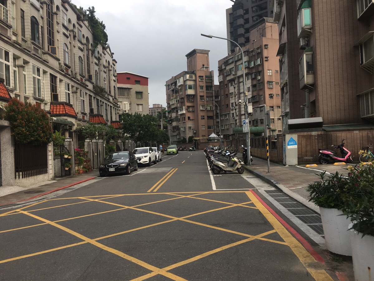
Leaving Neihu station from exit one, turn north up Jinlong Road.
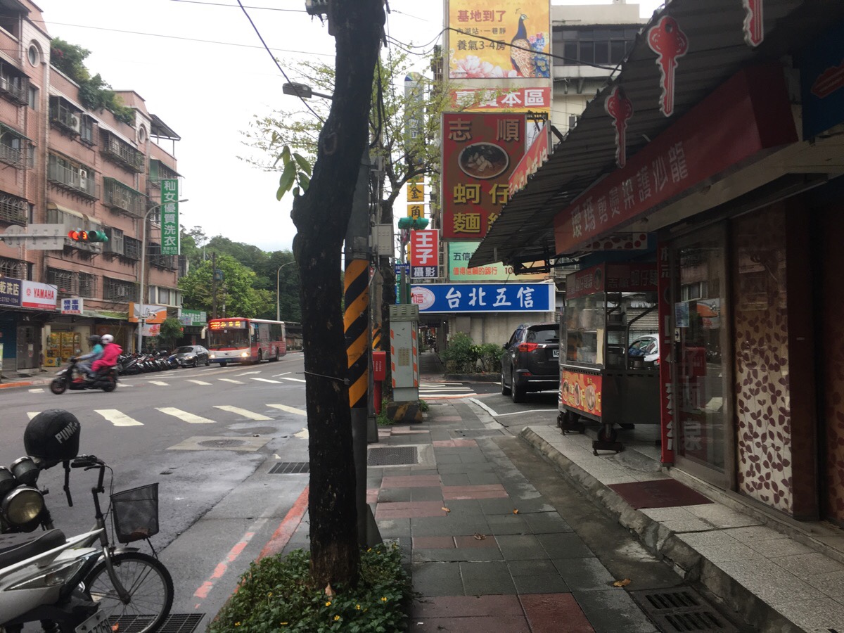
Cross over, and at the second (well third really, but one is a dead end I think), turn right onto Section 3, Neihu Road. Here the road immediately splits into two forks, both eventually end up in the same place, but the left one is more direct.
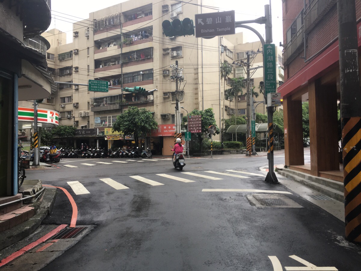
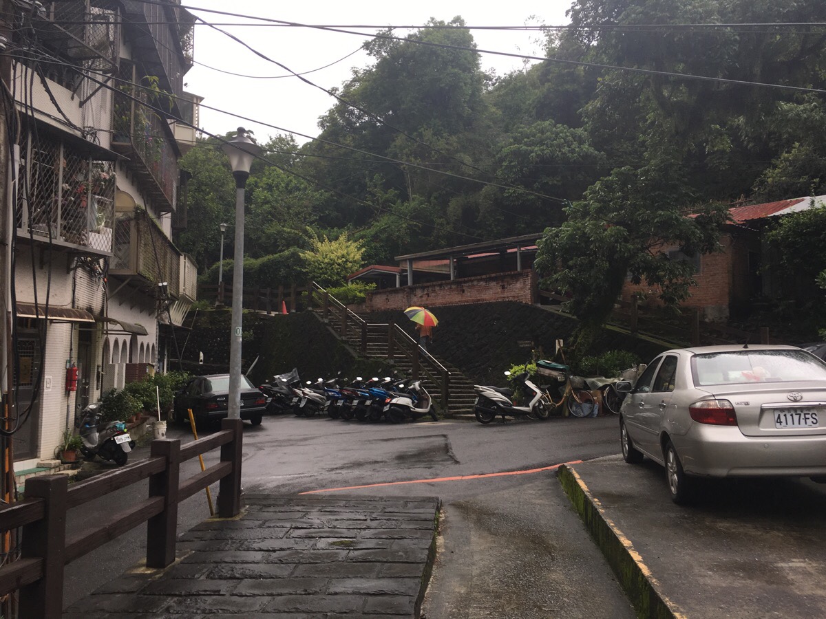
At a crossroads, look for the sign indicating towards Bihu Trail and follow it up Neihu Road, Section 3, Lane 60. You’ll pass a park with a temple.

Passing the temple on your left, you’ll arrive at another junction where you’ll spot the entrance to Bihu trail. The path heads up some steps (which were slippery in the light drizzle), and skirts along the edge of the houses.
For a brief moment, you re-emerge onto the street and pass some old-style houses, but then a signpost at the bottom of some steps gets you back on the trail.
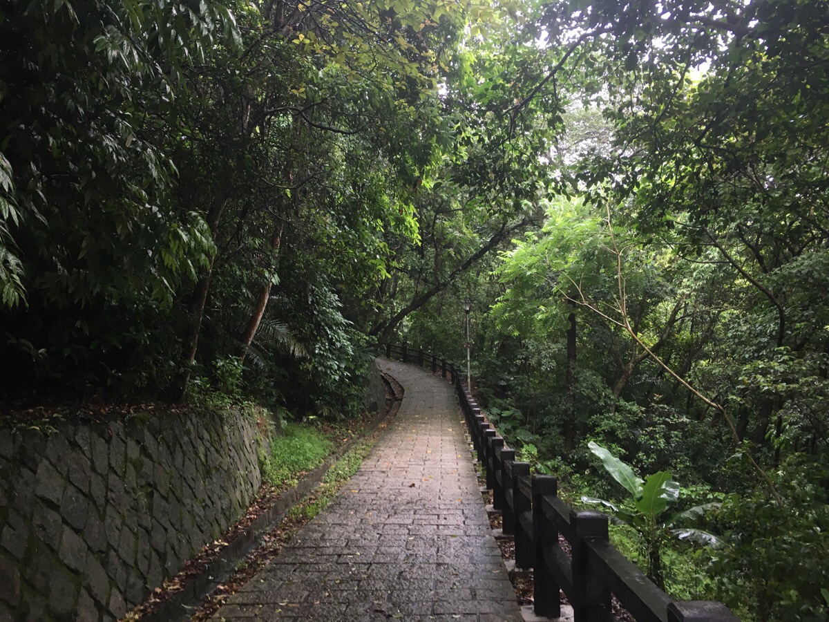
The path is wide and paved, and would be fine for pushchairs if it weren’t for the steps at both ends. I’m pretty sure it would be fine for kids though.

Along the route there are information boards. Some detailing the local flora and fauna, others giving a bit of background detail about the mining history of the area. Here a couple of benches are placed next to boards showing information about the tools used by the minors. Whilst I was reading them, an old man walked past and stopped to chat. He asked what route I was planning to take and told me that if I went right, I could go and have a look at the view before heading down the steps. I took the opportunity to ask him about the graves that I’d noticed hidden just off the side of the trail, and he said that a long, long time ago some rich local had paid to have their grave built there so that they would be able to enjoy the view in death.
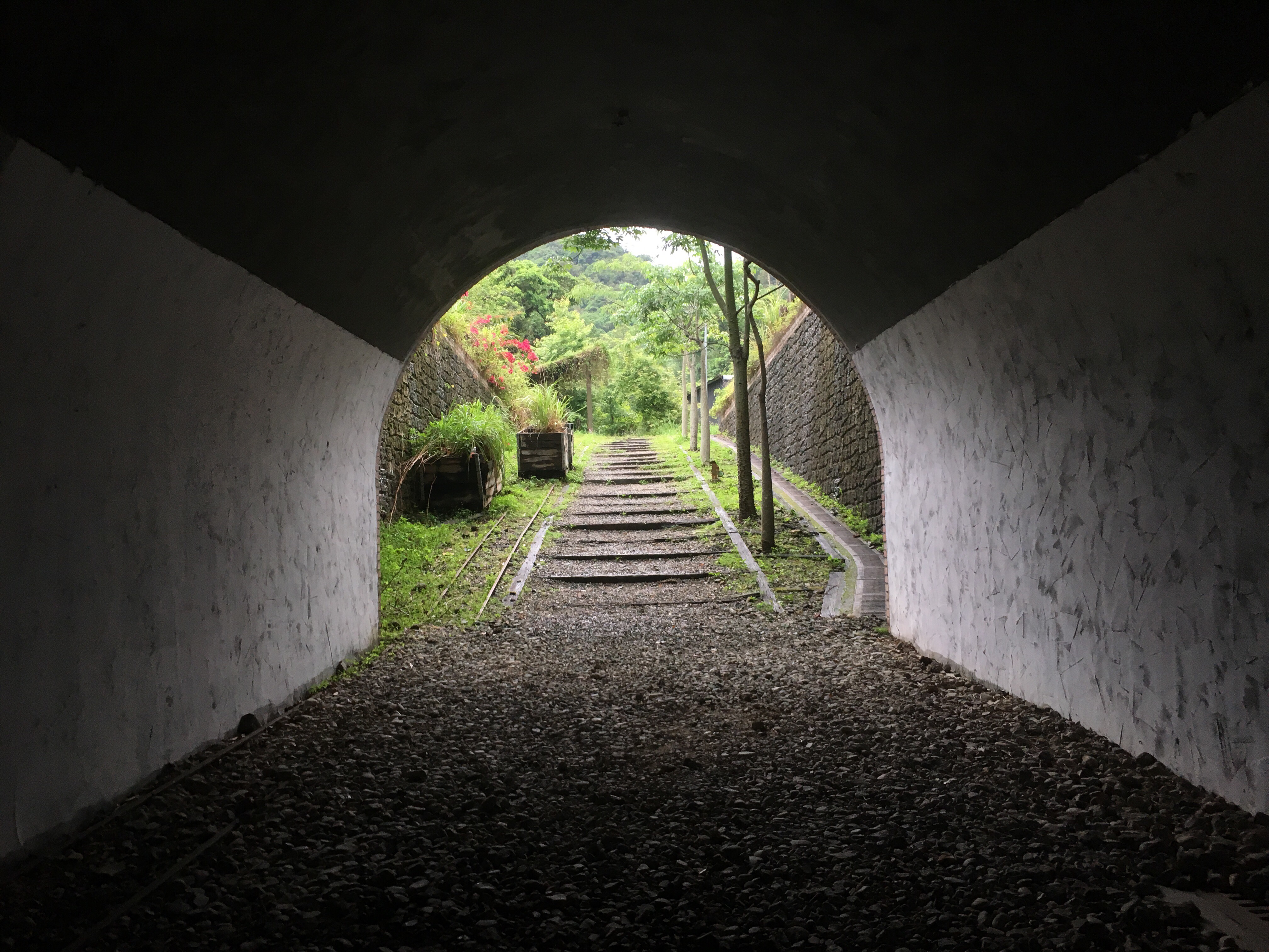
Walking downhill from the benches, the path briefly has three iterations, with a choice between wooden, brick and stone steps. From here you walk through farmland until the path arrives at a short tunnel.
It’s possible to walk either through or over the tunnel and then up over a wooden bridge at the far side. This picture is taken looking back at the way I’d come.
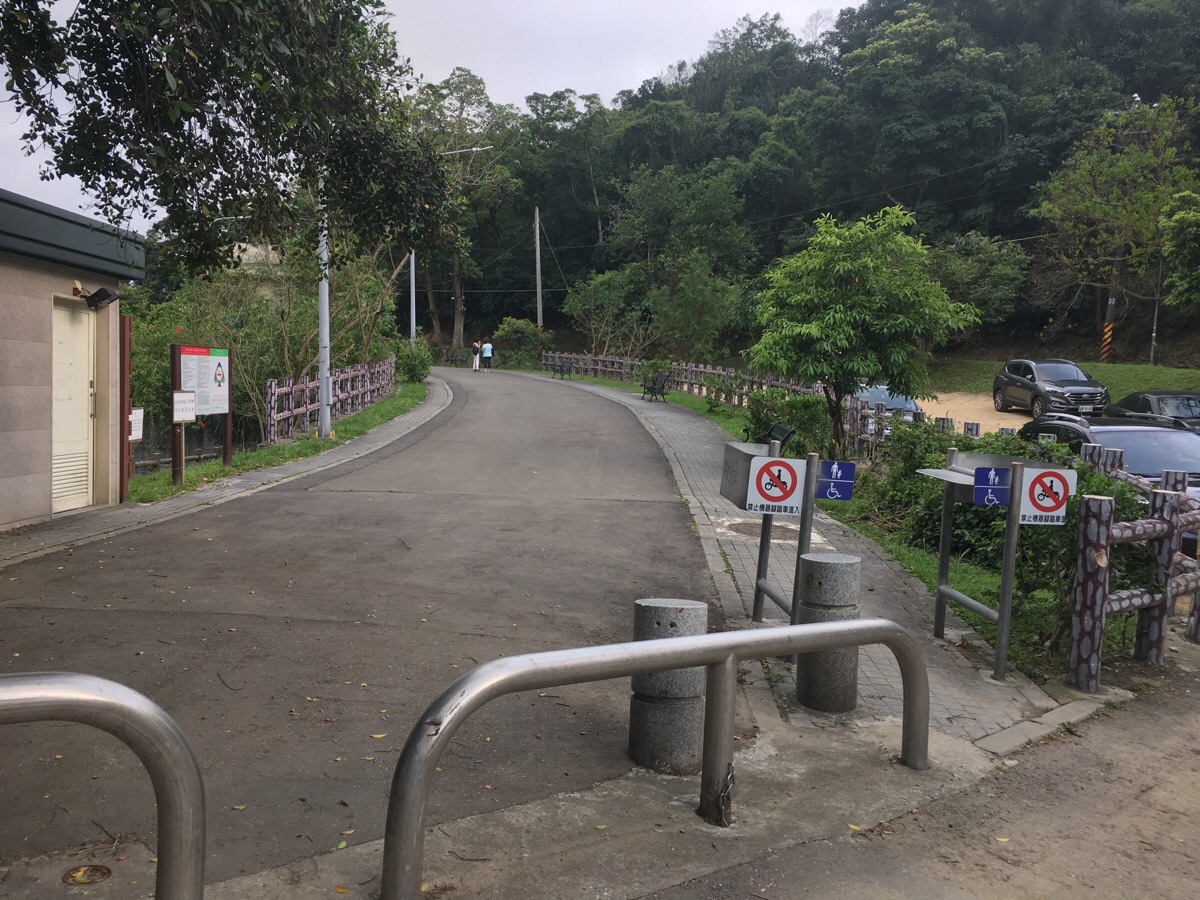
At the end of the trail, take a brief right and then turn into Dagouxi Park.
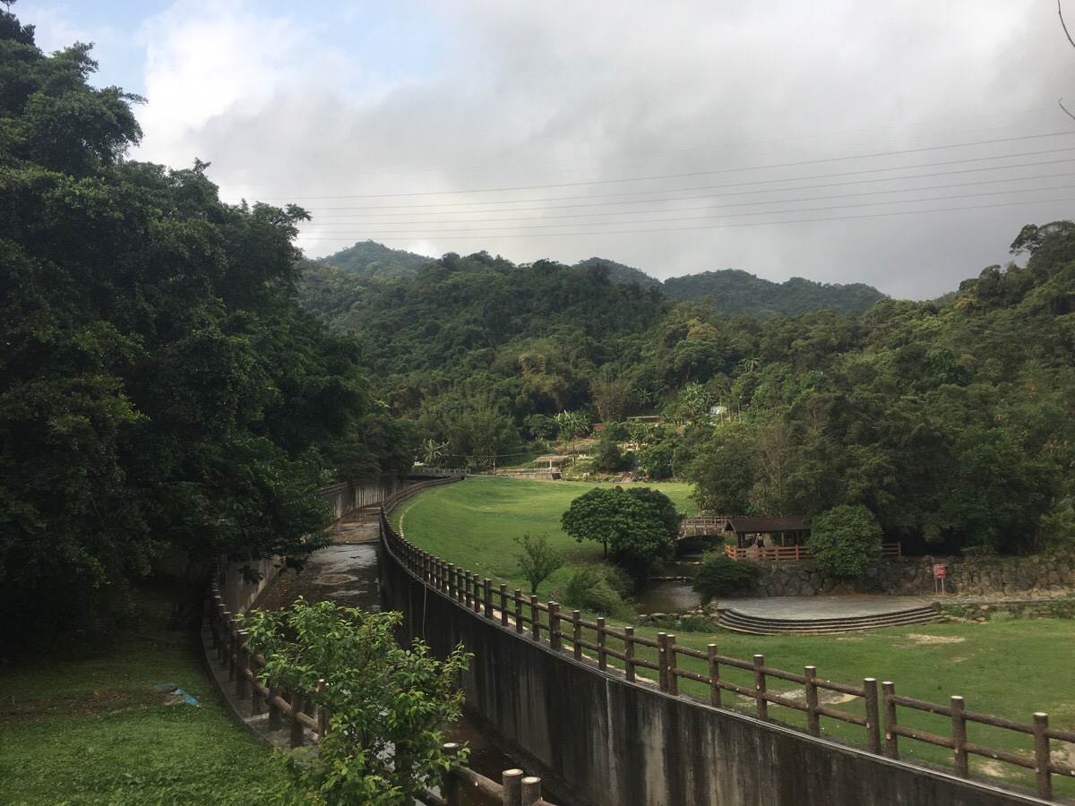
You can either walk along the road back to the entrance of the park, or head down and walk between the pond and the stream. I took the latter option and was lucky enough to see a kingfisher sitting on a rock and doing his thing.
From the park head all the way along the same road until you get back to Dahu Station. If you’re in need of my exercise, just keep going into Dahu park and up Egret Hill.
How to get there
Google maps address: the first part of the trail starts around here: 114台北市內湖區內湖路三段60巷12弄5-13
GPS location:
- Neihu MRT Station trail head – N25 05.270 E121 35.550
- Dahu Park MRT Station trail head – N25 05.460 E121 35.750
Public transport: the trail can be accessed by walking from Neihu MRT Station, and at the far end you can walk to Dahu Park MRT Station.
Nearby trails:
- Egret Hill
- Carp Hill
- Dragon Boat Rock and Yuanjue Waterfall
- Kangle Shan
- Taipei Grand Hike – Fengguizui to Dagouxi Park
- Mount Kaiyan
Bihu Trail Map
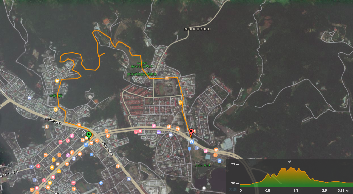
GPX file available here on Outdoor Active. (Account needed, but the free one works just fine.)
This is the bit where I come to you cap in hand. If you’ve got all the way down this page, then I can only assume that you’re actually interested in the stuff I write about. If this is the case and you feel inclined to chip in a few dollars for transport and time then I would appreciate it immensely. You can find me on either Ko-fi or Buy Me a Coffee.
