Distance: 7.1km
Time: 2½ hours – a little less than two of these were spent walking.
Difficulty (regular Taiwan hiker): 2.5/10 – for steep steps and possible dog wrangling.
Difficulty (new Taiwan hiker): 4/10 – the trail is pretty easy to find and follow, but much of it is steep stone steps which can be tiring if you’re new to Taiwan’s hilly terrain. Also, this trail is infamous for the pack of dogs that live in the houses of the abandoned village – by all accounts they’re more noisy than aggressive, but you have to be confident that you can stand your ground.
Total ascent: about 480m to a high point of 564m atop Xiao Jingua Peak.
Water: 1L should be enough – the walk ends at Jiufen where you can get refreshments.
Shade: some shaded parts, but if you burn easily you’ll need to take some sun protection in bright weather.
Mobile network: pretty good throughout.
Enjoyment: it’s neat to be able to walk up to Jiufen, it makes you feel somewhat more adventurous than all those being bused in, and the old village is a fascinating glimpse into the past. Not so keen on all the steps, but this is still a perfectly pleasant trail for small adventure days.
Permit: none needed.
Jump to the bottom of this post for a trail map, GPX file, and transportation information.
Directions:
I was one of a handful of people who got off at the Houtong stop – that number could be split into two groups. One group was comprised of camera-toting cat-seekers, most of whom got caught up in the cuteness of the station-master cat. The other group was made of retired local hikers, me and one other foreign guy, we headed straight for the exit and turned left. The foreign guy veered off into one of the shops, the older hikers got tempted by some of the stalls selling snacks, and then there was only me left making my way along the road next to the train tracks.
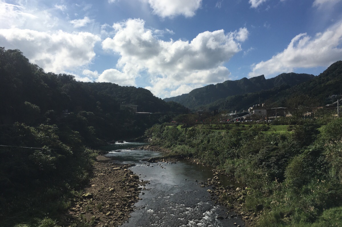
Before the railway enters a tunnel, the road I was following turned right over Jieshou Bridge (介壽橋). The view back is a good example of why this part of Taiwan is so popular with tourists, there is so much dramatic beauty in the landscape before you’ve even climbed a single step.
Over the bridge, I turned left and followed the small Houdong Road running along the back of the village. There was a handful of little shops including one of those throwback barber shops which is basically just a mirror and a swivel chair in the family living room.
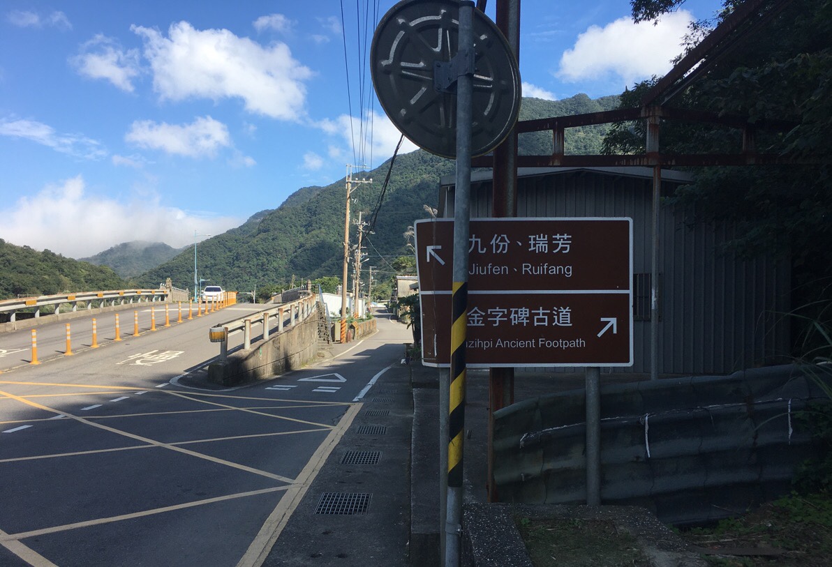
The road splits where it crosses a smaller tributary flowing into the larger river, and I took the road heading up to the right. It’s signposted as heading towards Jinzipi Ancient Footpath (金字碑古道, otherwise known as the Golden Letters Trail or Jinzibei Trail) since both trails start from roughly the same place.
Just after turning right, you’ll notice a large semi-abandoned collection of buildings to the left of the road. This is the former Houtong Elementary School – abandoned after it was damaged by a landslide triggered by a typhoon and heavy rain in 2000, it has since been rebuilt a little further down the road.
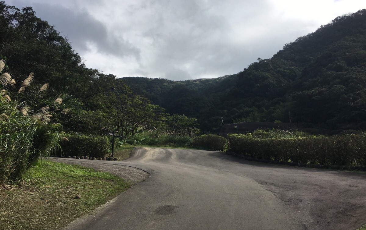
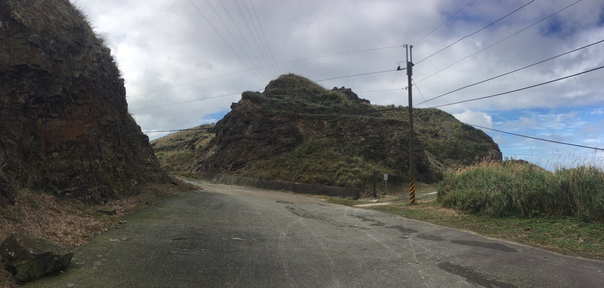
Follow the road up all the way, here follow it as it doubles back and passes a small land god temple before twisting back again. (On the right in the above photo is the entrance to the Jinzibei Old Trail.)
A little further on I got barked at by some half-hearted guard dogs. One or two got up to walk to the end of their driveway, but none came any further.
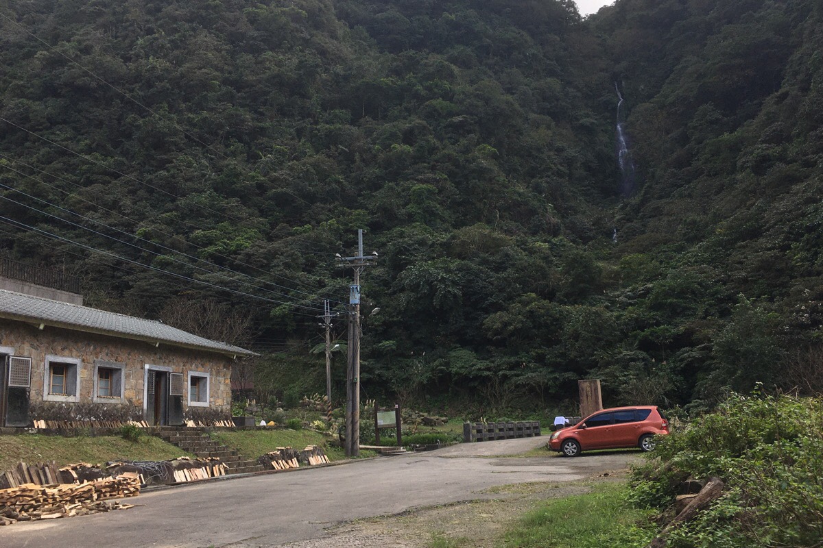
After following the road as far up as it can go, I arrived at the entrance to the hiking trail. I paused to have a look at the map and the giant, thundering waterfall which seemed to be falling from the sky, and when I turned around, an old guy had come out of the house to see who had just walked up. I asked him the name of the waterfall and told me that it’s Cai Dao Lun Waterfall (菜刀崙瀑布, as he very precisely explained to me, detailing which characters were used). We covered some of the usual ground, where was I from, (oh, British accents are the best English accents to have), what I was doing in Taiwan and all of that kind of thing, but conversation took a less predictable route after he asked me if I was walking alone. Instead of warning me that it was dangerous for a woman to hike solo, (which is what the overwhelming majority of people do), he presented me with a big stick. Having previously read on previous travellers’ blogs that there are some territorial dogs up ahead, I asked if it was to protect myself against them, and he said yes. Apparently I just needed to bang the stick on the ground to show them who was boss, and I could dispose of it any way I wanted once I was finished with it.
With renewed trepidation upon receiving the stick, (were these dogs truly so aggressive that I needed to be armed?!), I set off up the steps.
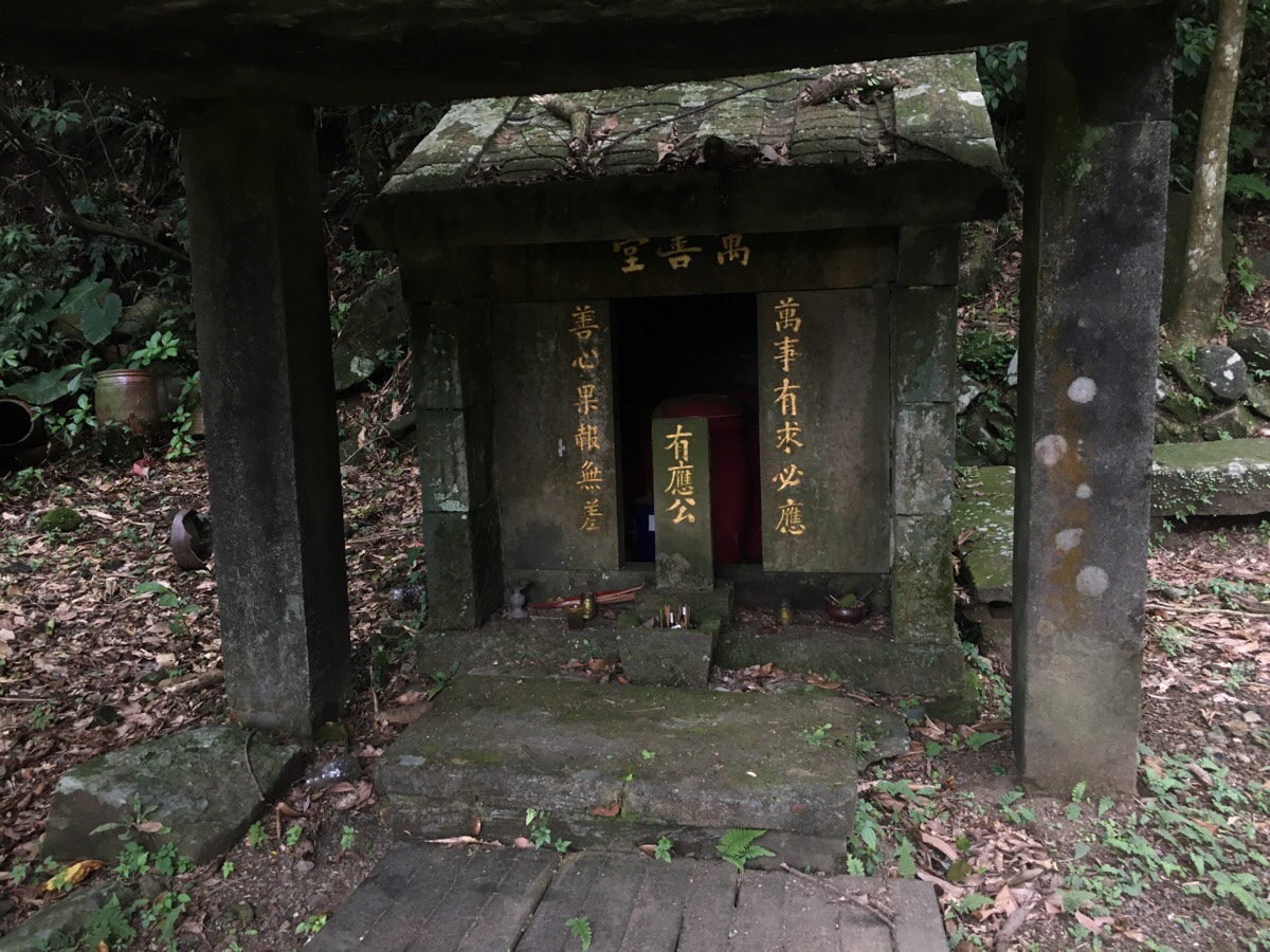
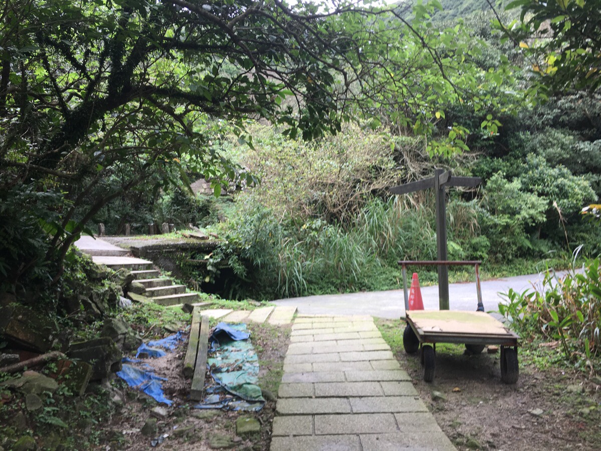
A little way up the trail there is a Youying Gong shrine – perhaps it isn’t surprising that there are plenty of lost bones in the area since has been so recently and widely settled.I haven’t seen one of these shrines with so many urns placed inside before though.
The path starts to cut up some switchbacks and away from the river, and as the turns became tight, I started passing the occasional remains of dwellings. (On the left before you reach the village you’ll spot a turning on the left towards 小粗坑.) With each building I passed, I got a shot of adrenaline – apparently I was more anxious of these dogs than I realised. Somewhat miraculously, I arrived at the still-maintained part of the village without hearing so much as a yip.
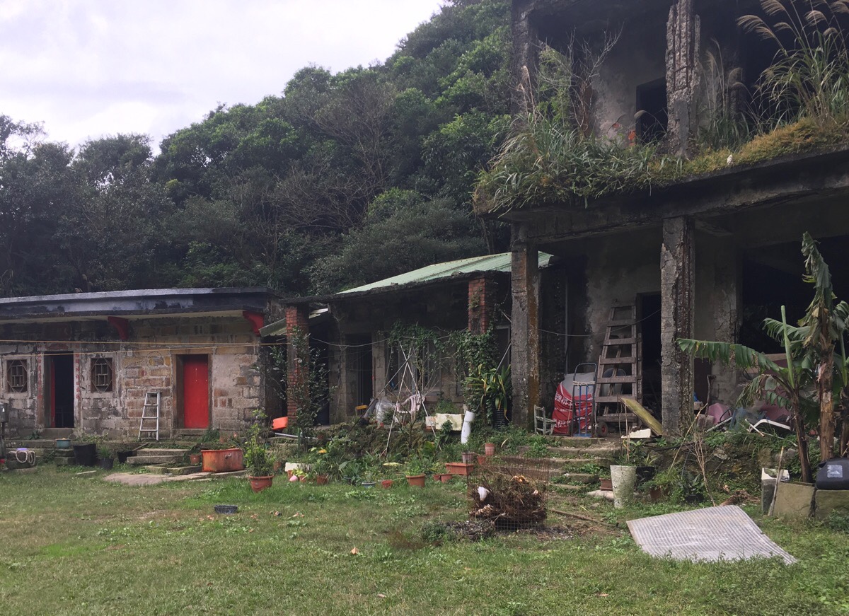
The crumbling two-storey building is the old elementary school; in the past there used to be enough people living in the area that a school was necessary. The well-maintained building to the left is Dade Temple (大德宮), even if I hadn’t read about (or indeed, met) the guardians, I would have known that the deities inside were still being cared for. When I went, there was a marquee placed outside the front of the temple covering the incense burner and the courtyard looked to have been recently swept.
If I had passed through just fifteen minutes later I would have met the guy who comes to feed the dogs and tidy the temple every day.
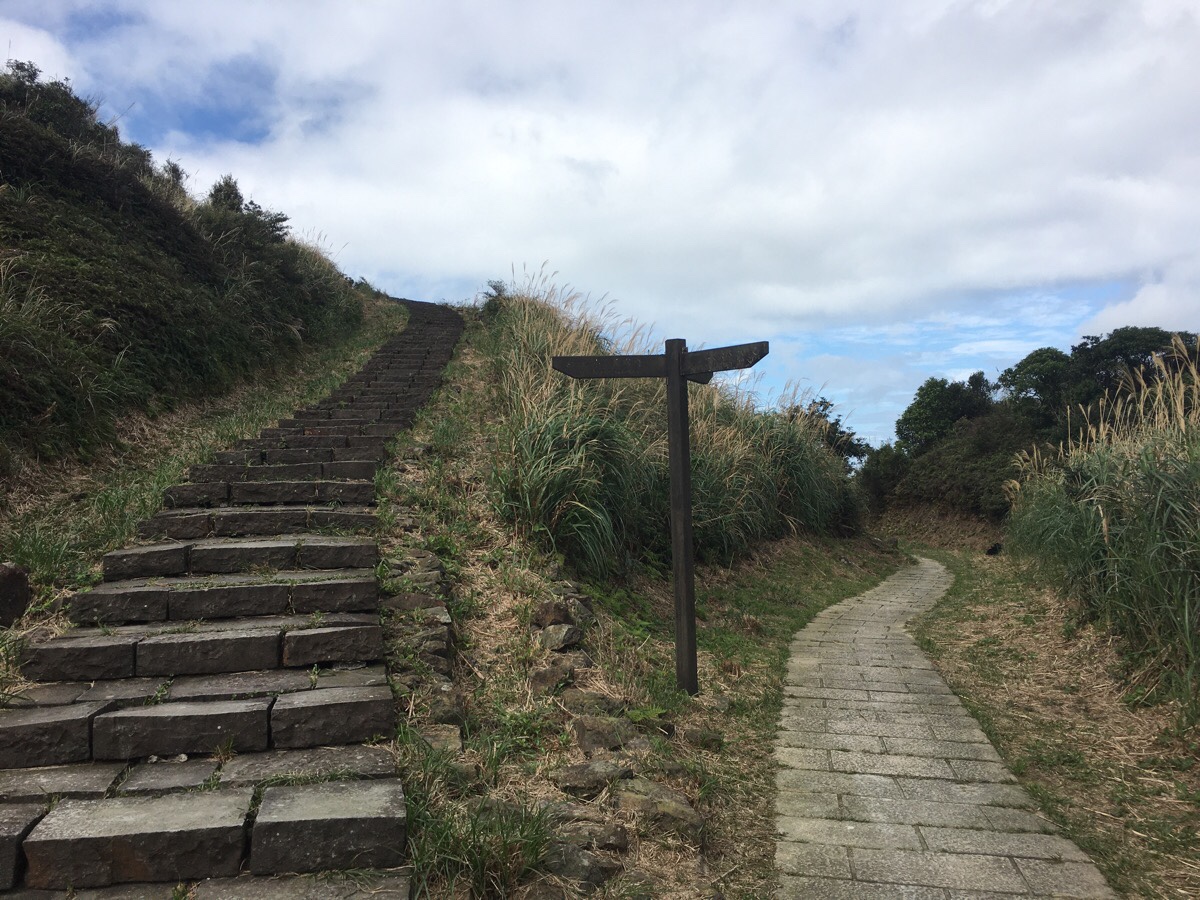
Walking on from the collection of buildings, the trail reaches a junction, to the right is a small road, and to the left is a set of steps that will take you up the hill more directly and rejoin the road later on. Just left of this junction there is a two-story house which was apparently the village’s main store. These days it is a roofless shell of a building with its front open to the elements, but according to others online it had a roof until relatively recently when it was ripped off by a typhoon. I would also be told later by a one-time resident of the village that it was home to the area’s richest family.
Turning uphill after the two-storey house, the path then climbs up a brutal, surreal flight of concrete stairs – other English-language posts on the walk describe them as appearing to float above the hillside, and whilst I can’t really square the heavy concrete appearance with the airiness of floating, they certainly do appear to have just been transposed onto the landscape. As I started climbing up, I noticed a man sat square in the middle of the top step, and he noticed me, standing up and walking just out of sight when he saw me, (I’m pretty sure he did this so that I could photograph the steps without him in it).
Upon my reaching the top step, he greeted me with a hello and asked if I’d encountered the dogs. I said I hadn’t, and he proceeded to tell me that there were five or six of them, and something about only one of them being a real problem, maybe something about it having to be put down due to being excessively aggressive, but I’m not sure because he was speaking so rapidly that I struggled to keep up. He then wandered a little closer, and upon realising that I wasn’t a local, he slowed down his speech a little. He said that really the dogs were fine as long as you stood your ground and didn’t run away from them, they’d only be noisy, they wouldn’t ever bite. Dog conversation over, he continued to tell me that he used to live in the village and that him and his friend visit most days – he rides his scooter to come here and watch the view, (and in this corner of the world with its dramatically billowing clouds, you really can watch the view). He also told me that in years gone by there used to be over a thousand people living in this valley, all mining families, hundreds of households. It was he who told me that the richest family used to live in the house at the foot of the steps, and that Wu Nien-jen (吳念真) – one of Taiwan’s most esteemed scriptwriters – came from the village. Similar, if not virtually identical facts pepper other articles written about the village, almost all of which also mention running into the dogs and village guardians. I wonder if these two friends feel they are entirely responsible for telling the story of their birthplace. If he hadn’t told me that there were hundreds more structures dotted about on the mountainside, I may have had no idea of the scale of this village, and if they hadn’t maintained the few structures around the trail, they could easily have been swallowed up by the vegetation by now. The pair of them are getting on now, I’d say probably in their late 60s or 70s – I wonder how much will have changed in another 20 years, (although Taiwan being what it is, there is always a possibility that a typhoon will rip through next year and the place will be unrecognisable).
After five or ten minutes of chatting, his friend drove past us in a car on his way down to feed the dogs, and my new acquaintance bid me farewell and scootered off to join him. I stayed for long enough to see the pair of them appear as miniature figures moving around on the patch of grass outside the elementary school, and watched as the dogs emerged noisily from the bushes to get their brunch.
From the steps, I turned left and followed the track uphill until it became a proper road where I went left again.
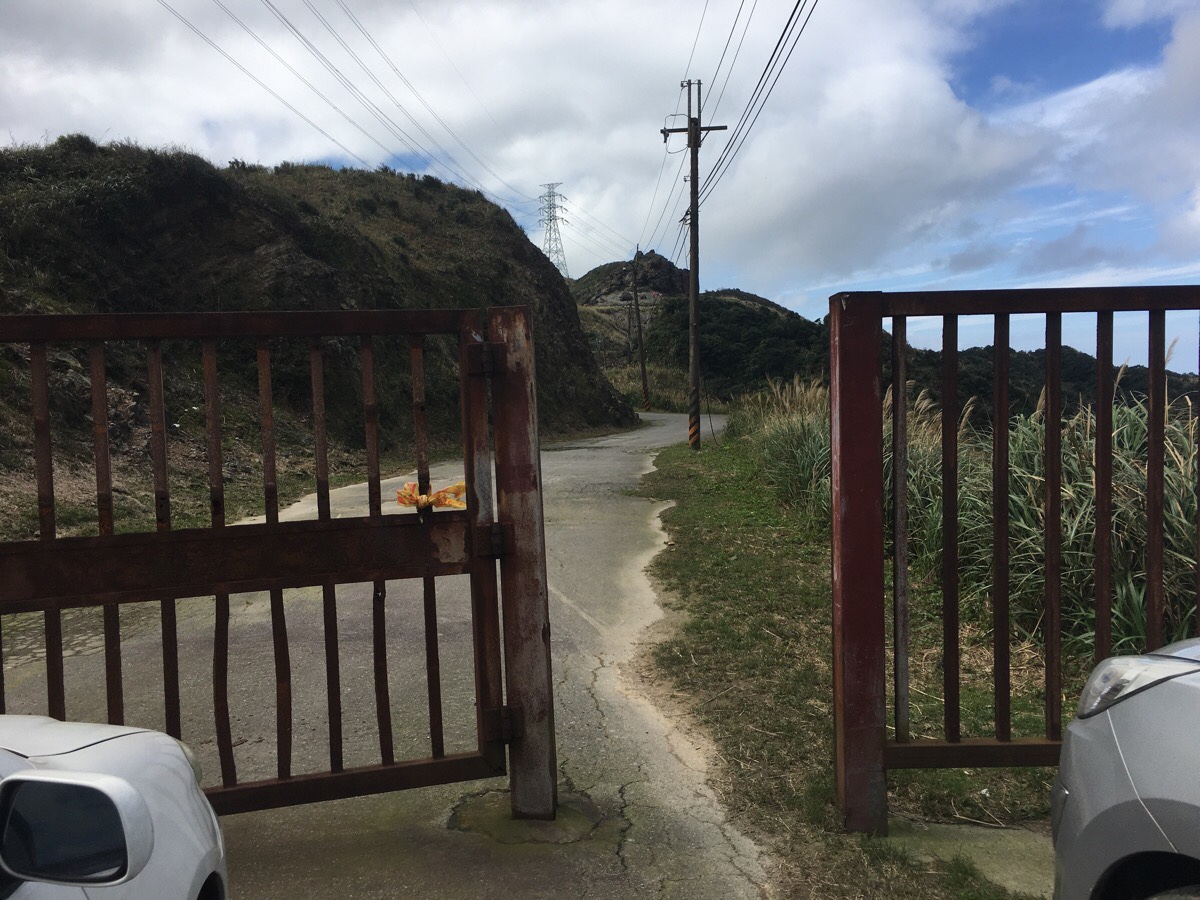
Almost immediately, a trail heads through some metal gates on the left. It looks a little like it wasn’t really meant to be open, but the map suggested it led towards Jiufen, there were hiking tags and there were no ‘no entry’ signs, so I decided to give it a try.
After briefly following the road, I noticed a signpost indicating that Jiufen could indeed be accessed this way. The path started again just to the right of this rocky outcrop.
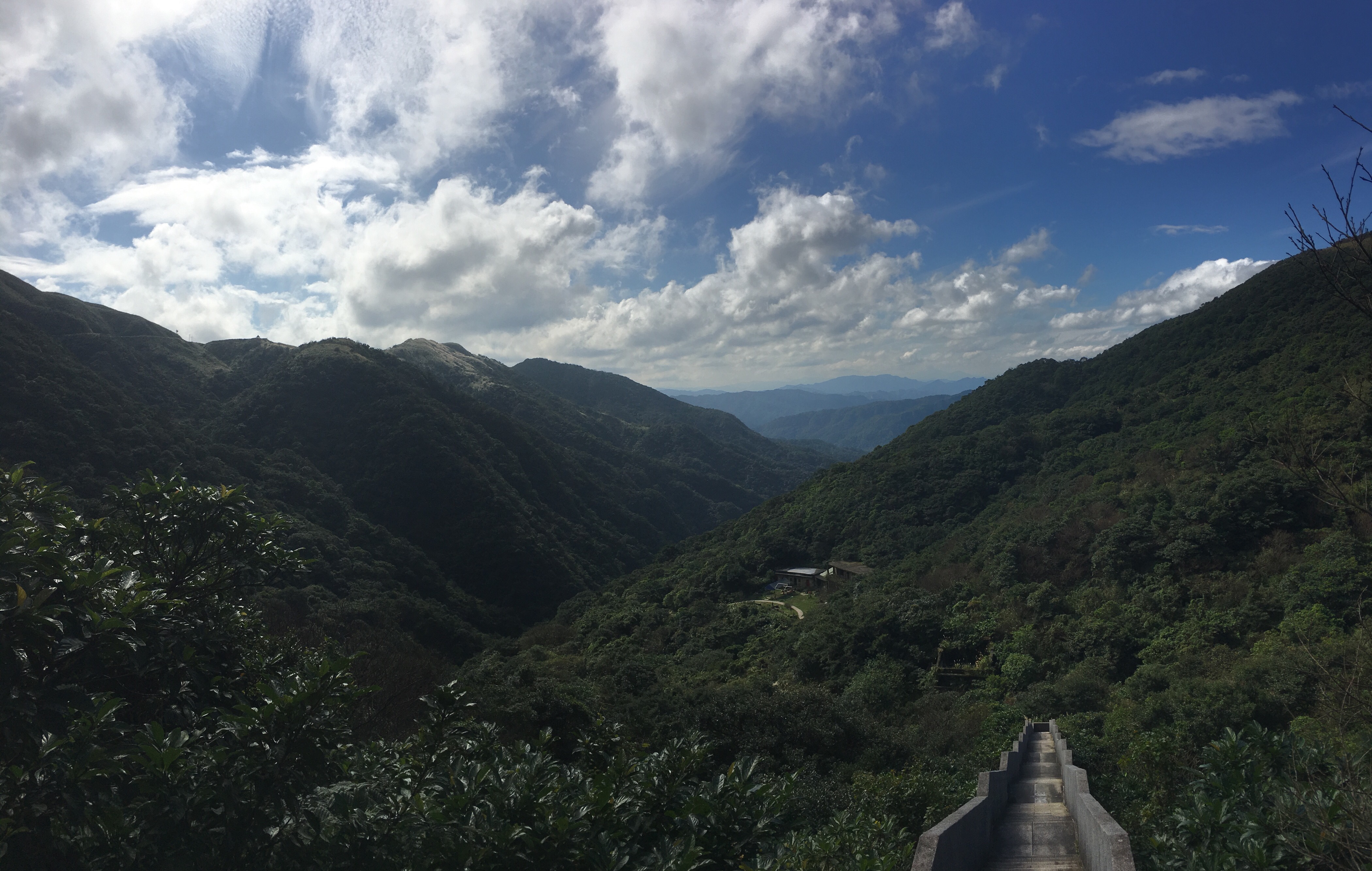
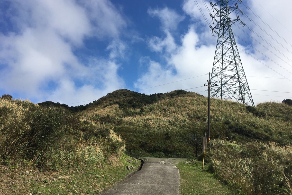
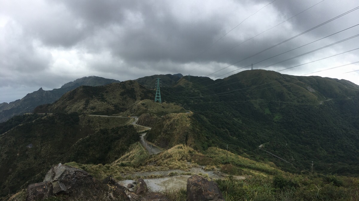
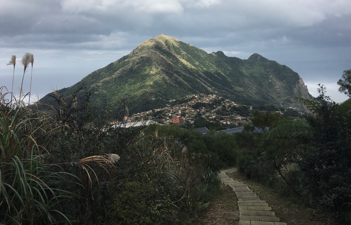
Although the path I needed to follow to get down is the one on the right here, I decided to head up to the left first to Lu Tou (露頭), (also known on the map as Xiao Jingua Peak/小金瓜露頭) to see what the view was like. There is a circular path around the peak, but the easiest access or from the side away from Jiufen.
When I arrived at the peak I got instantly weirded out by the group of hikers taking pictures. I must have somehow developed a sixth sense for picking up on who isn’t going to play by the generally accepted social-etiquette rule book, and sure enough, I turned around from admiring the view to find two of them pointing cameras at me. Unlike most people (who would cease such behaviour upon being caught in the act), one of them went on to follow me with her lens for the next minute of so, and consequently I sat myself down at the edge, facing away from the group and just waited for them to leave. I could have said something, but I don’t know what I could have said that would have come across as being not too confrontational, whilst at the same time not encouraging further communication. Anyway, they soon left and I had the peak to myself.
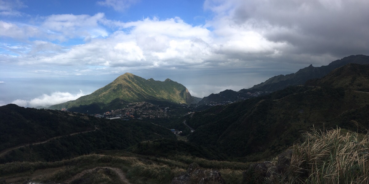
To the east you can see Mount Keelung rising behind Jiufen, and to the right of that you can see the slope rising to the prominent knob of Teapot Mountain, then heading even higher to the ridge that includes the fabulous Stegosaurus Ridge trail and Mount Banping.
Looking south, the view is mostly blocked by the nearest peaks, but at the tail end of silver grass season, the tall grasses were still picking out highlights on the slopes.
Leaving Lu Tou behind, I returned to the earlier junction and headed down the steps towards a school.
The steps down couldn’t have taken more than five or ten minutes, and I soon found myself emerging onto a road next to a school. From here I followed the road as it wound downhill towards the town.
Just after a temple, there is a right turning. Here you can either head into the temple forecourt or continue on a narrow road through a graveyard.

I had a look at the temple and then kept going through the graves. There is a basketball court nestled between a carpark and more graves, and the road bends round to the right.
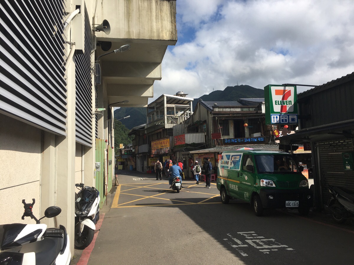
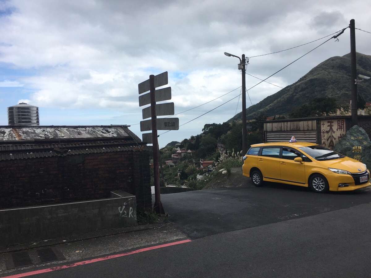
Just before joining the main road, I doubled back on myself, (the lower road on the right, behind the yellow car), and walked down until I arrived at the main entrance to Jiufen’s crowded old street.
The mass of tourists shuffling through the narrow alleys was overwhelming after the relative quiet of the hills, and I stayed just long enough to fill my belly at the vegetarian meatball shop before leaving again.
How to get to Dacukeng Trail
Google maps address: the trail starts from Houtong Station, (that of Cat Village fame). There is parking here, and you could do a loop back down via Xiacukeng to return if you want to come in your own transport – (see this Chinese language write up for more details).
GPS location:
- Trail head near the train station – N25 05.470 E121 50.520
- Trail head on the Jiufen side next to the school – N25 06.270 E121 50.780
Public transport: local trains from Taipei (Taipei Main Station, Songshan Station and Neihu Station) heading towards Su’ao will all stop at Houtong. If you board an express train you’ll have to change at Ruifang Station, (there are generally announcements in English to remind passengers that they need to change).
Further reading: Being a reasonably popular trails with tourists, you can quite a bit of information about this walk. Taiwan Everything has a write up of it, likewise, Over The City has written about it here, and 4 Corners 7 Seas has a more extensive network of paths covered here.
Nearby trails:
- Mount Keelung Trail
- Teapot Mountain
- Mount Banping
- Stegosaurus Ridge
- Jinguashi Aqueduct Trail
- Tamsui Kavalan Trails – Ruifang to Fulong
- Tamsui Kavalan Trails – Ruifang to Shuangxi
Dacukeng Trail Map
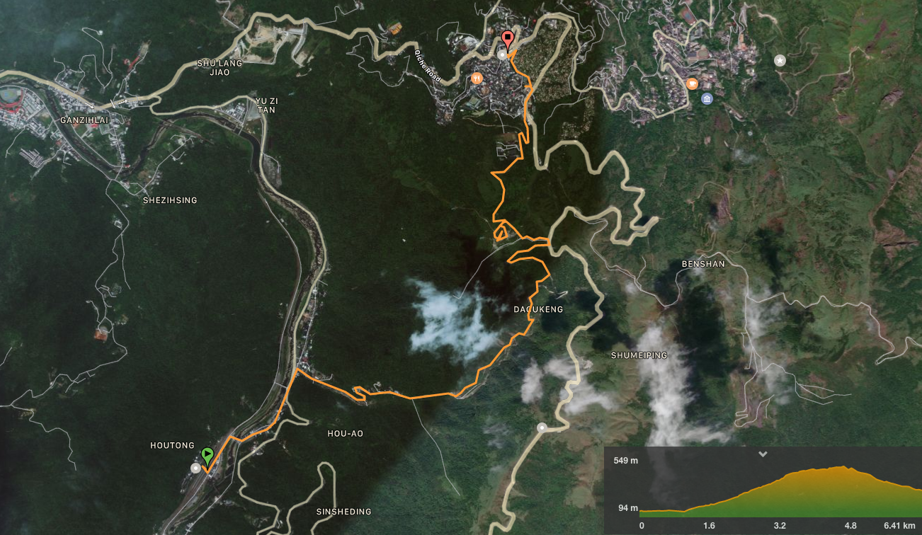
GPX file available here on Outdoor Active. (Account needed, but the free one works just fine.)
This is the bit where I come to you cap in hand. If you’ve got all the way down this page, then I can only assume that you’re actually interested in the stuff I write about. If this is the case and you feel inclined to chip in a few dollars for transport and time then I would appreciate it immensely. You can find me on either Ko-fi or Buy Me a Coffee.
