Distance: 16.5km – With options to extend to almost anywhere along the river park network or shorten at any of the MRT stations along the way.
Time: 2 hours at a relaxed pace.
Difficulty: 1/10 – It’s a very comfortable and easy route.
Total ascent: Around 20 metres.
Water: One bottle was enough for me on a cool day, there are also places where you can stop and buy more if necessary.
Shade: There’s not really any shade here, make sure you take suitable precautions.
Mobile network: Clear the whole way.
Enjoyment: This is one of my favourite stretches of river bikeway, especially at the right time of day.
Jump to the bottom of this post for a trail map, GPX file, and transportation information.
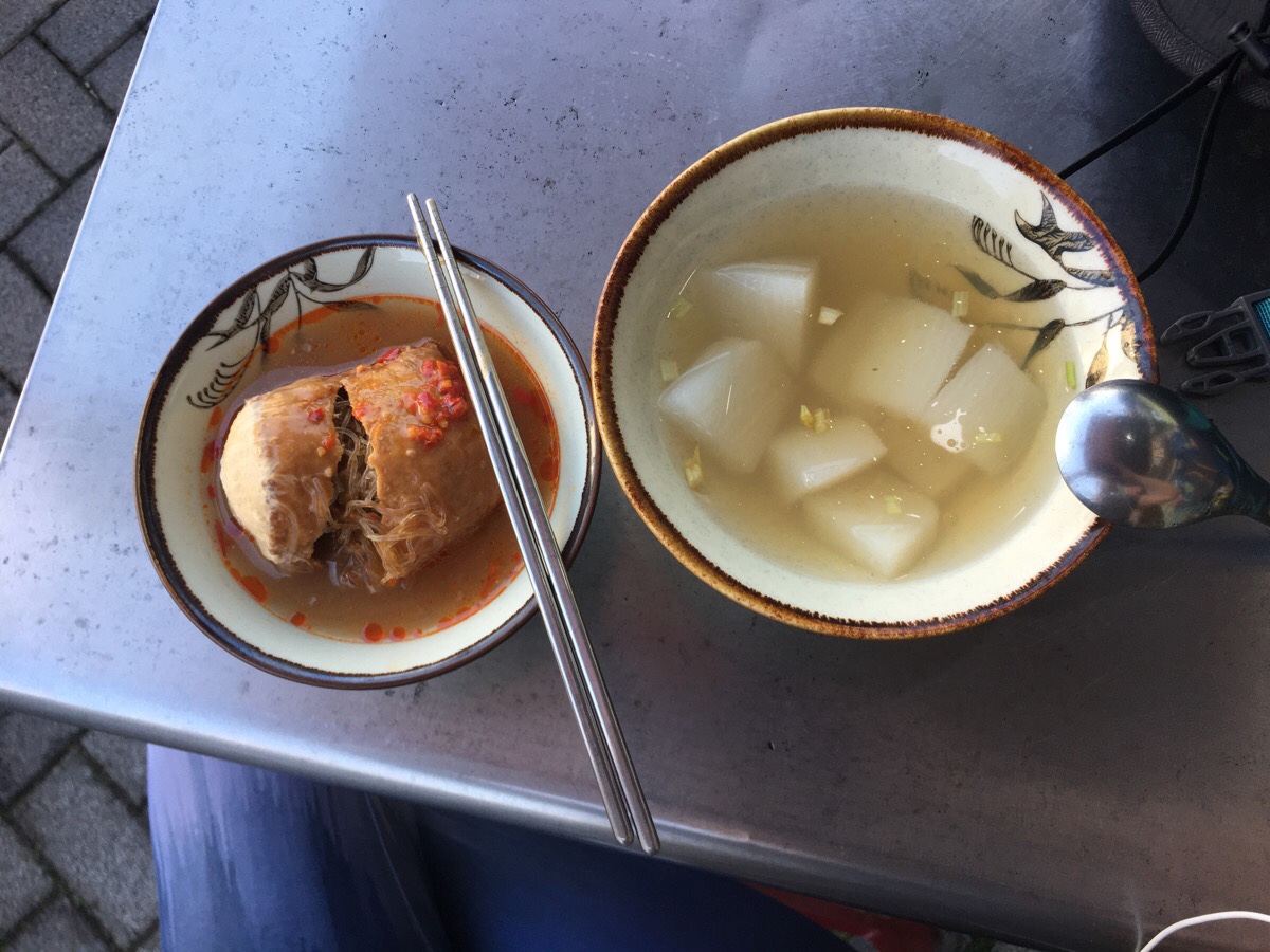
I think I did this the wrong way. Tamsui should probably be the end point for this bike ride, then you would be free to stroll along the waterfront, enjoy the many and varied delights of the old street – but I had a mission to accomplish today, (tending to some geocaches), so in fact Tamsui was only the midpoint of my day’s efforts. It was also the start of the purely-for-pleasure section of my ride, and so I decided to make the most of my trip to the far north of New Taipei City and get some food. Besides, what would a trip to Tamsui be without a-gei. Given that is is fried tofu stuffed with rice noodles and pork, the traditional version isn’t veggie, but luckily for me, there was a vegetarian shop right next to the YouBike stand which had a-gei on the menu.
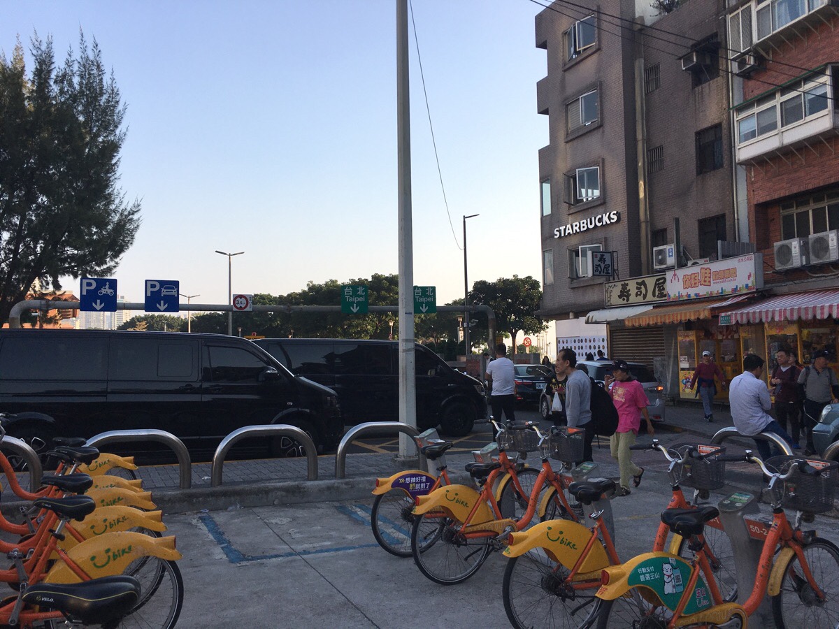
Belly full and muscles refuelled, I headed to the bike stand to grab my ride. Each time I visit here, I am reminded anew of the terrible planning that went into this YouBike station. There is no obvious way in or out without having to lug your bike over the curb. Grumblings aside, it’s very easy to get started, just head towards the river and the crowds.
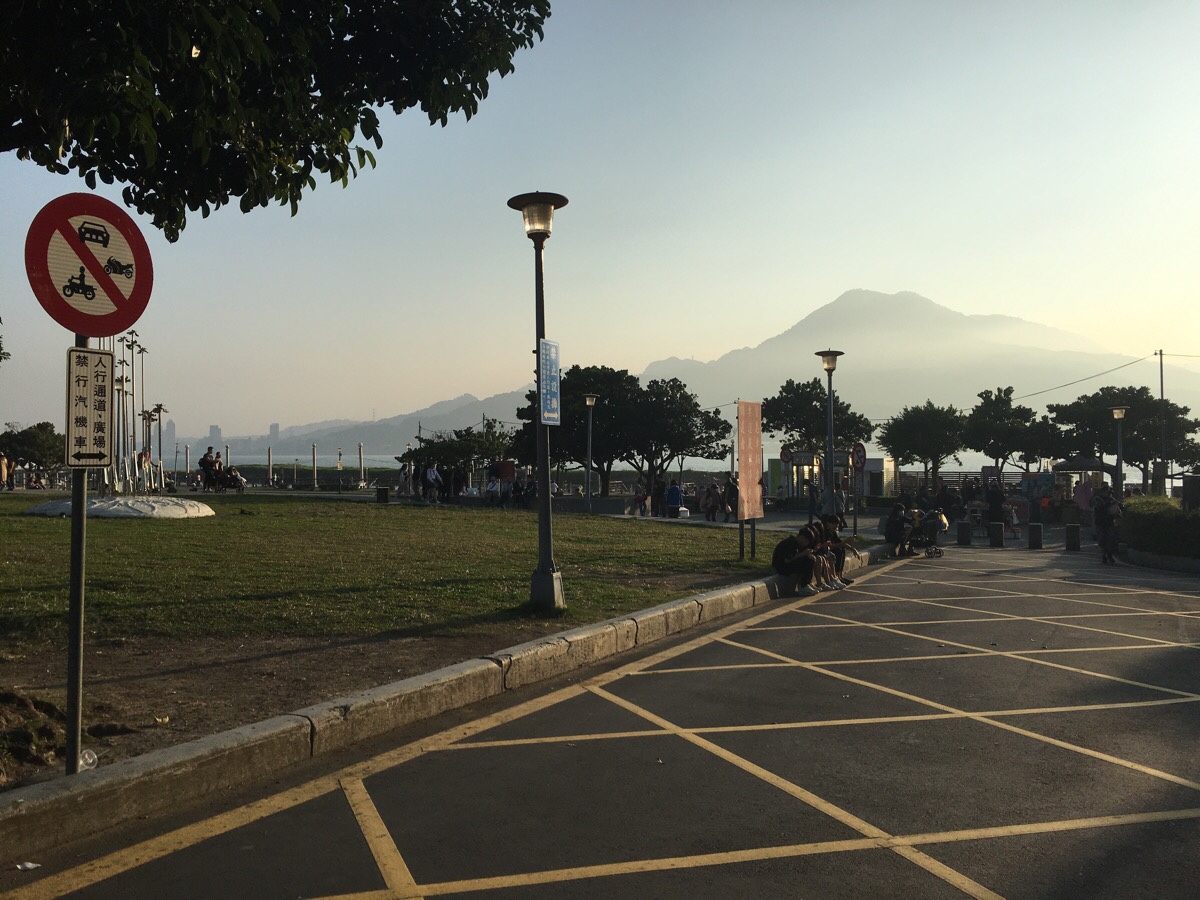
On a weekday afternoon I was able to make my way down to the waterfront relatively easily, but if you visit on a weekend this area will be heaving with visitors. Head down to the cycle path near the water and then turn left.
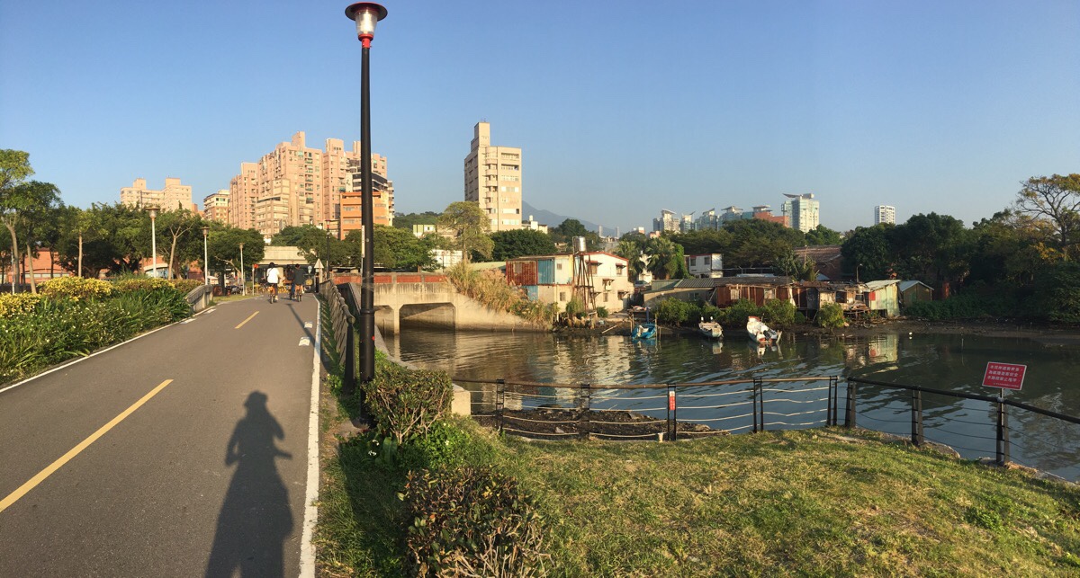
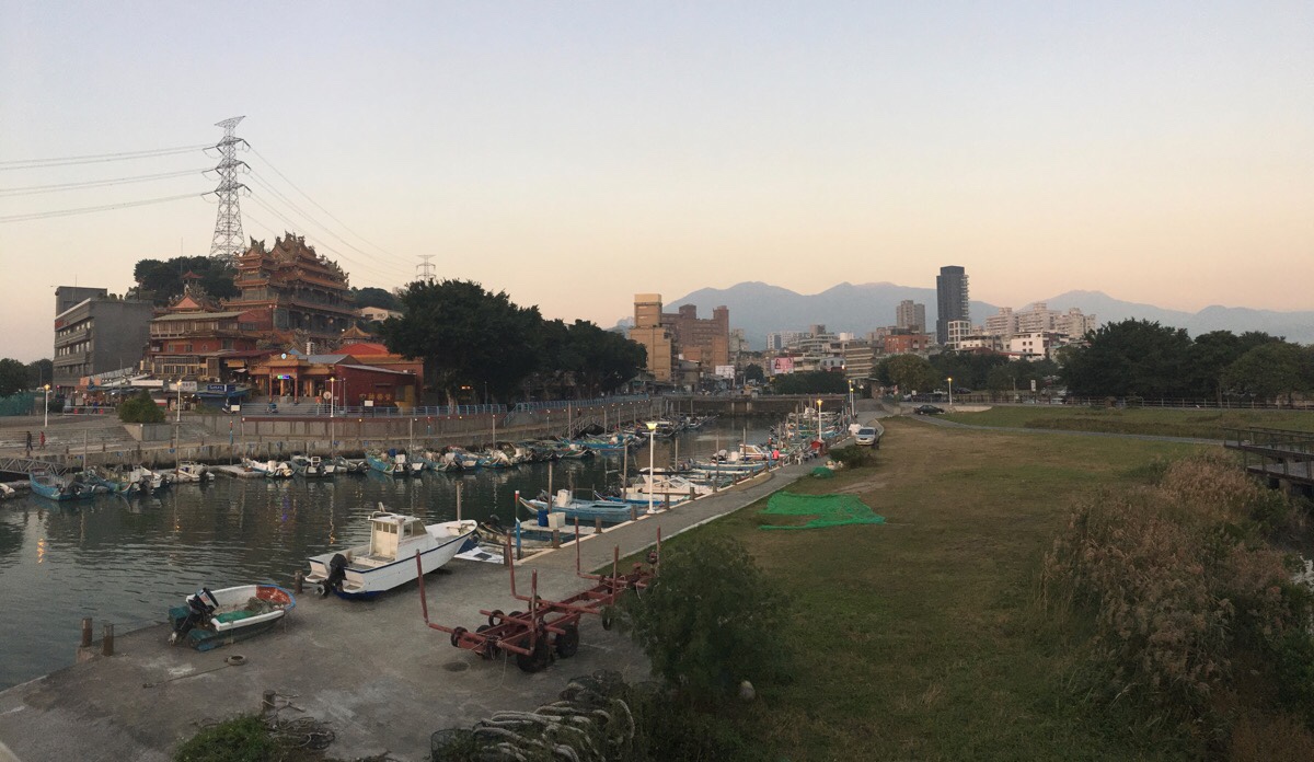
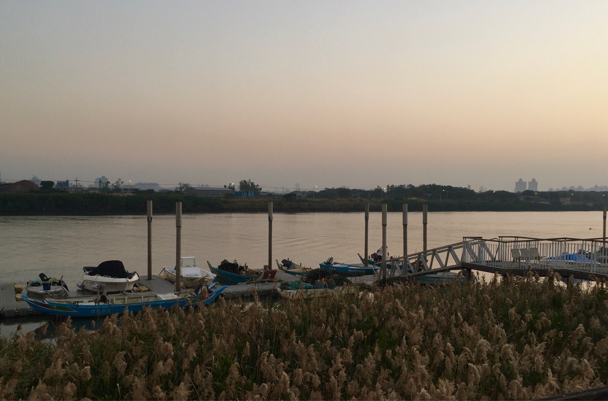
From here it is really very straight forward, you just need to keep the water on your right. Just after the path passes these boats moored up next to some stilt houses, the path briefly exits the path before veering right and slightly up passing the former British merchant warehouse and a nearby cute little coffee shop.
A little further on you’ll also pass the unremarkable-looking Tamsui meteorological observatory – first built by the Japanese in 1937.
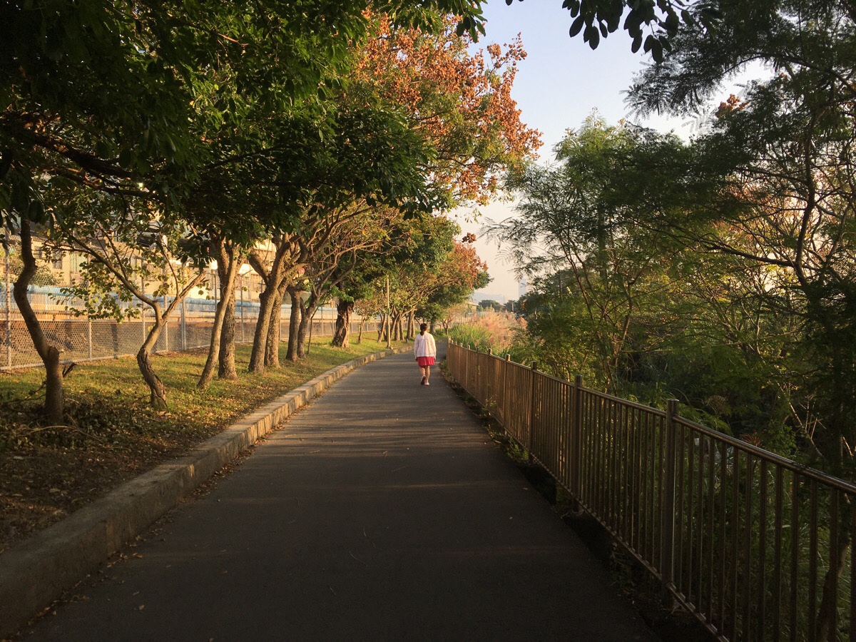
For the first couple of kilometres, the cycle path runs tightly parallel to the MRT line, and beyond the weather station the road conditions are almost uniformly perfect. I was starting my ride in the late afternoon, leaving Tamsui around 4pm, so I was cycling back with some beautiful light.
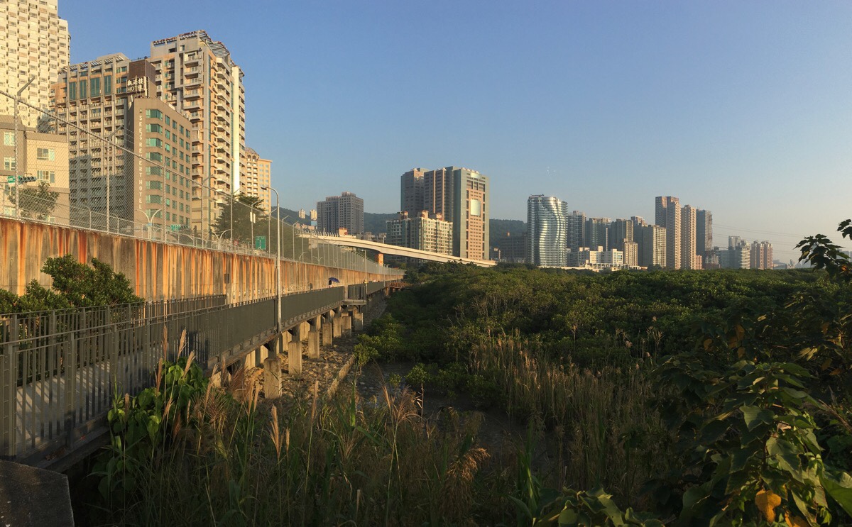
As the rails head towards Hongshulin station, the bike path drops slightly lower and becomes a narrower walkway between a wall and the mangrove forest.
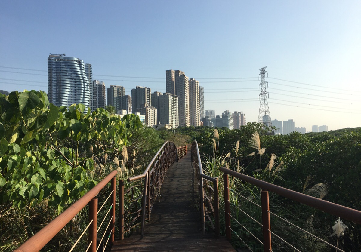
Partway along the wall, you’ll notice a wooden walkway jutting out over the water. You can’t take your bike here, so I secured my YouBike and went for a brief wander. If you go when the waters aren’t so high, you can spot crabs darting for cover in their burrows below the path. There are mudskippers here too, I didn’t see any today, but I have seen them on the opposite bank before. The nearby Hongshulin MRT Station houses a small educational centre which aims to educate visitors about mangroves.
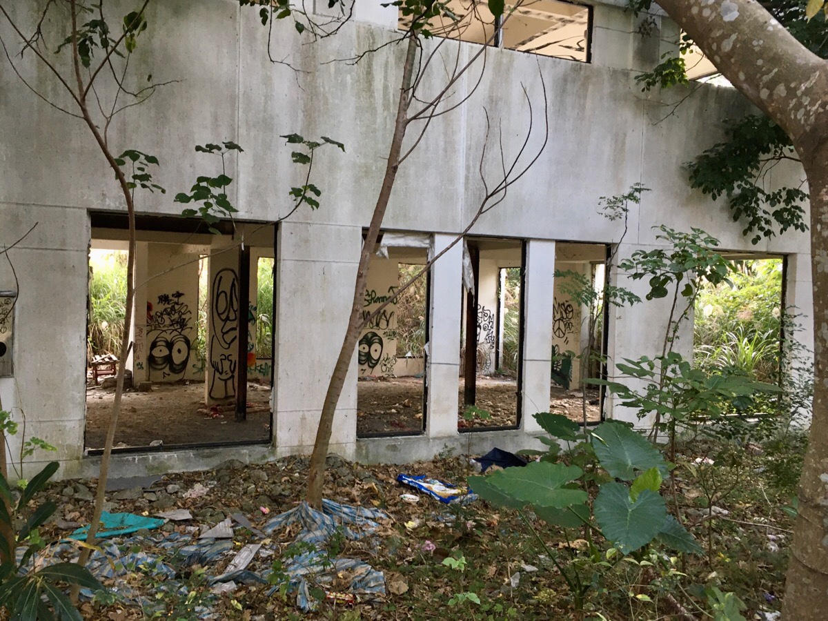
Just after the cycle path skirts round Hongshulin Station you will notice the skeletal remains of what appears to be a never-finished apartment building. Curious as to why it was left this way I searched online for information – but it seems there is none. All I came across was this description of a techno party held there a few years back. It still seems to be popular with the occasional explorer, there was a couple making their way up the exposed staircase as I rode by.
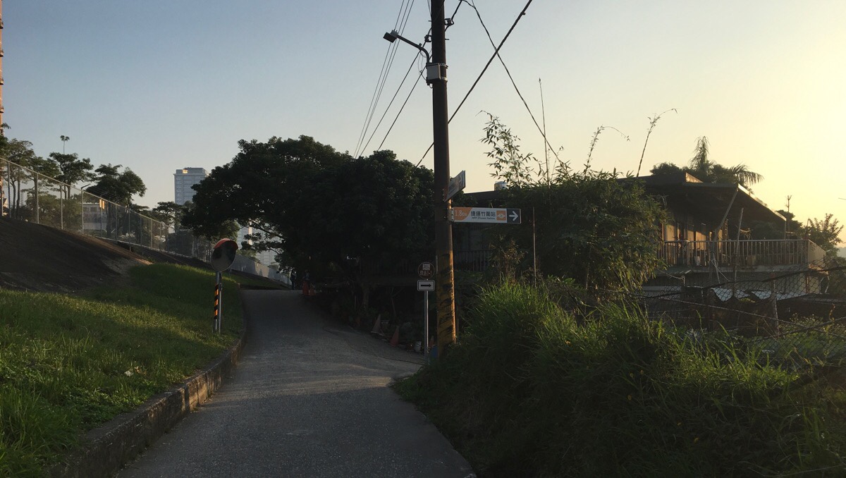
A couple of hundred metres beyond the MRT station, the path splits in two. The straight ahead option runs along next to the train tracks, whilst the path to the right follows the river. The riverside option is far prettier, so I always choose to head that way. After turned right down onto a gravel path, you need to head left past a temple. The nicely surfaced cycle path returns almost immediately.
The path alternates between showing you mangroves and showing you an unobstructed view over towards the far bank. There are also plenty of places to stop and enjoy the view.
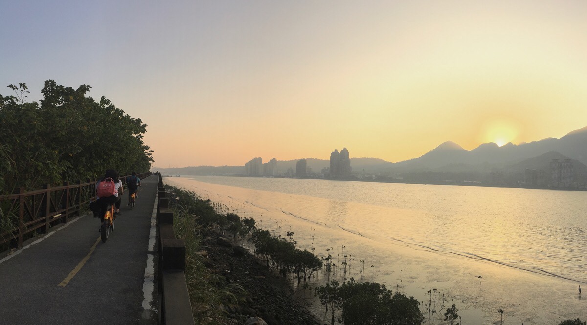
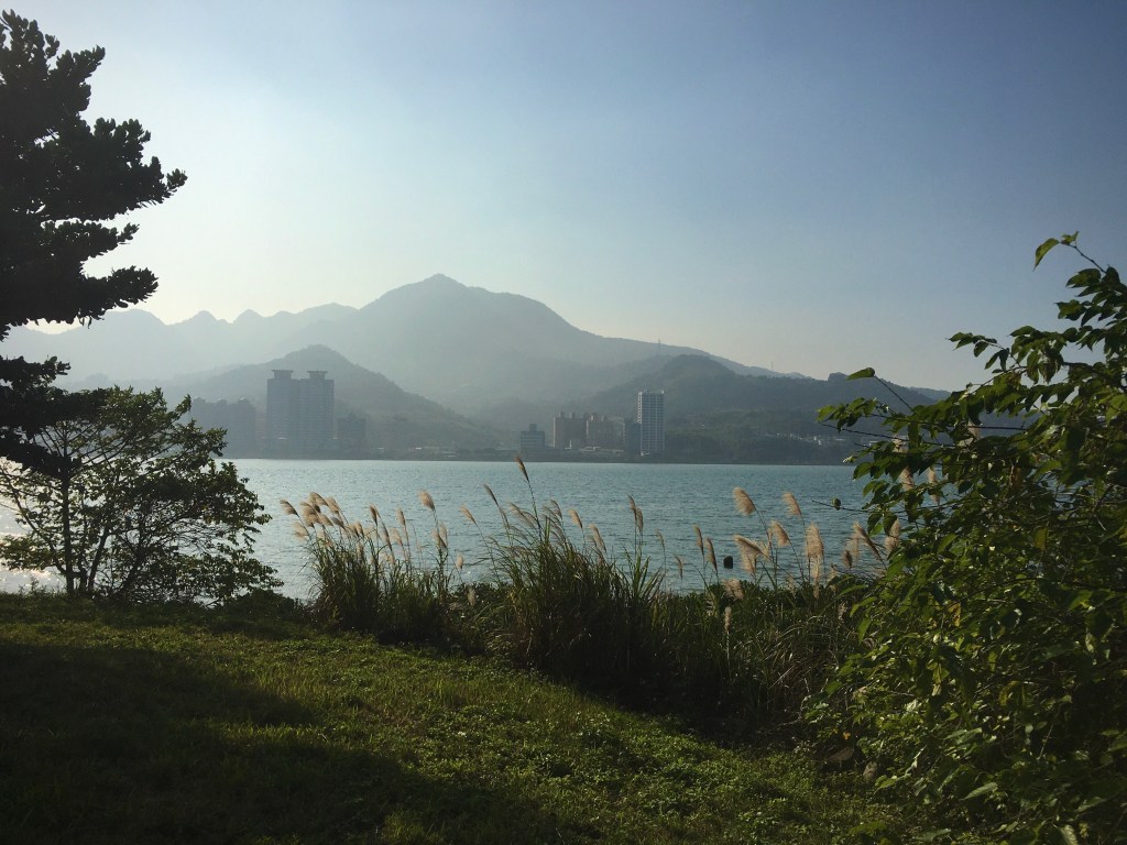
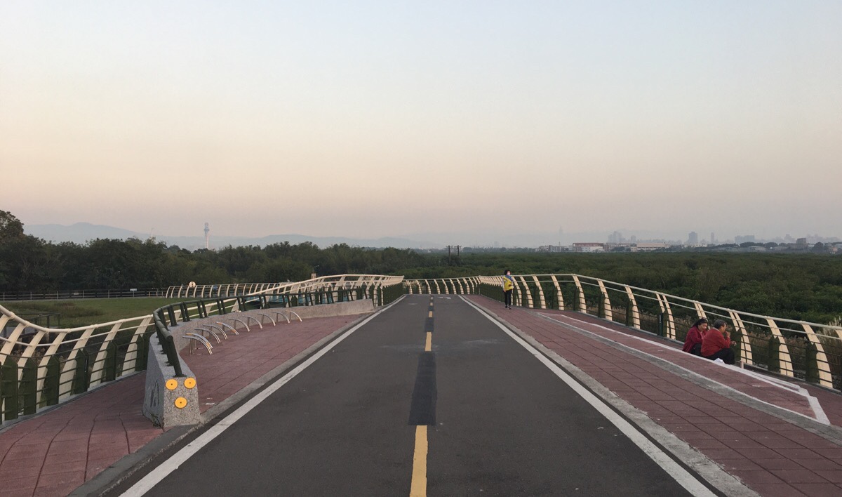
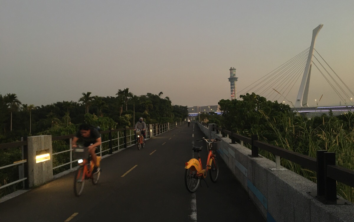
As I headed roughly south, the sun started to dip below the knobbly ridge line of Guanyin Shan – rays of light cutting dramatic lines through the (unfortunately polluted) air. If you stop and stand still on this raised pathway at high tide on a windy day, you can feel the force of the water wobbling the structure. Even on this calm day the motion of fellow cyclists can set it off.
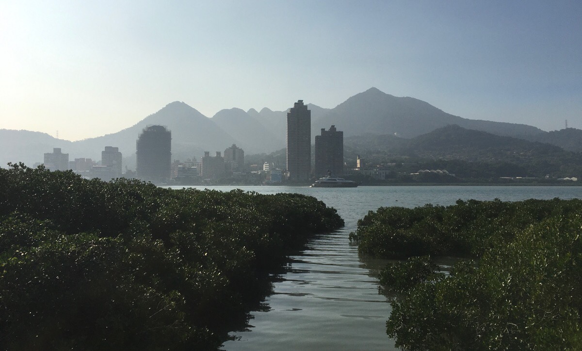
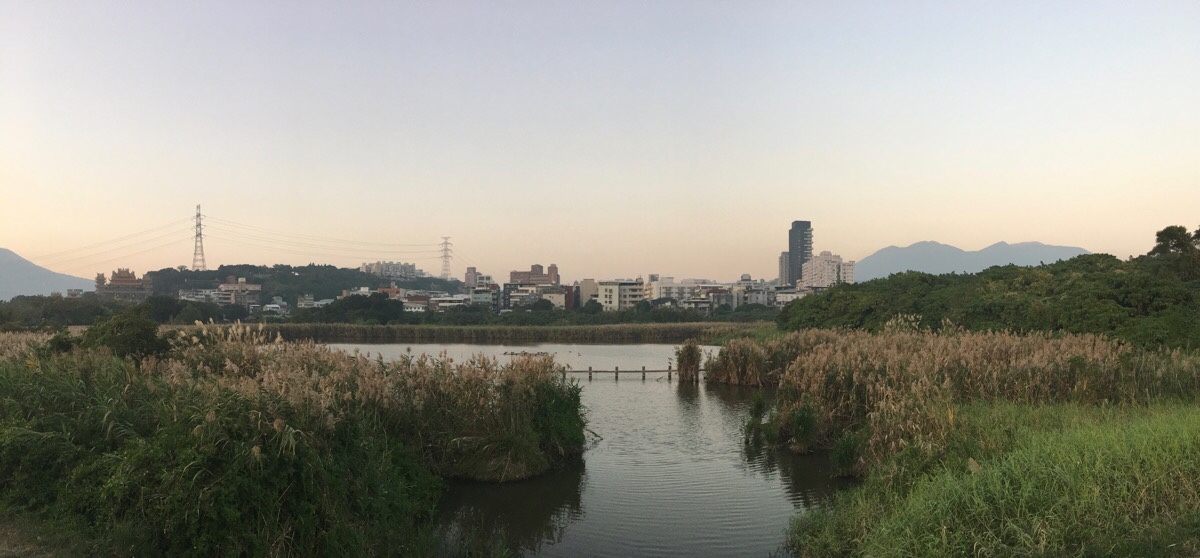
A little beyond the small Zhuwei Pier, (one of several areas along the path that is often populated with lazy stray dogs), there is a break in the mangrove trees, a small channel which seems to be maintained, but for no obvious reason. On the way up earlier I had stopped to photograph the apartments on the opposite bank with the hills rising behind them.
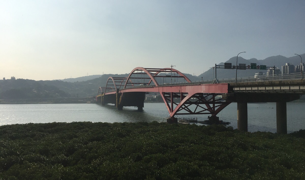
The bright red span of Guandu bridge is the next feature to catch your attention. This was my first time passing this way since about six months earlier, and I was interested to see the teams of workmen in boats at the base of one of the bridge’s supports and the scaffolding cladding several sections. I wonder how many times it’s been checked since it was built, (in 1983 – this bridge is older than me), and whether the presence of maintenance teams is in any way related to the Nanfangao bridge collapse earlier in the year. I’d never seen any signs of maintenance work being done before, so it seems slightly coincidental that it’s being done now.
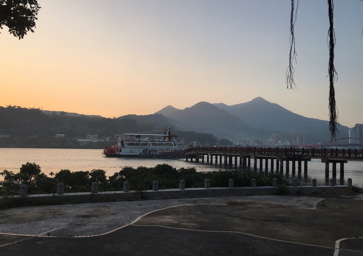
A large passenger boat sits moored at Guandu Pier. It can be rented out for big events, and I think they do special evenings where you can book a seat for a meal and some sight-seeing. As I was passing by, I had the strange experience of nearly being smacked in the face by two huge macaws – an older gentleman had brought his pet macaws to the park for some exercise. How has he transported them here you ask? In true Taiwanese style, he had got them to sit on the handlebars of his scooter. The birds were busy flying wide loops over the area, (they can go amazingly fast), then every couple of laps, they would return to their scooter perches where they had collected a group of admirers.
As you’re cycling, you will notice a grand building on your left. This is Guandu Temple, a large temple context which is well worth a visit. I’d already been several times, so I skipped it on this occasion, but if you’ve never been, I highly suggest you go. There is a YouBike stand just outside, so you can park up and go to take a look. The temple has many distinct halls, gardens, a cave and other beautiful features. (It also has clean toilets and water fountains where you can fill up your bottles.)
This raised bridge is where I photographed Guandu Temple from, (it’s on the left), and to the right you get a view out over the point where the Keelung and Tamsui rivers converge. The mass of green to the right is Guandu Nature Reserve, (the green to the left is Guandu Nature Park), and as the sun was starting to set, it was alive with the calls of thousands of birds. Herons and egrets of all sizes could be seen dotted around, a king fisher had staked out a spot on one of the anti-erosion tetrapods, and pockets of the mangroves were quivering with hundreds of noisy little somethings, (I couldn’t see them, but I could hear them).
Over the bridge, I headed right along the cycle path.
The views to both sides were lovely. On the right were the ponds of Guandu Nature Park. Many water birds were hanging out here.
To the left you can see Shezi Island beyond the span of the Keelung river.
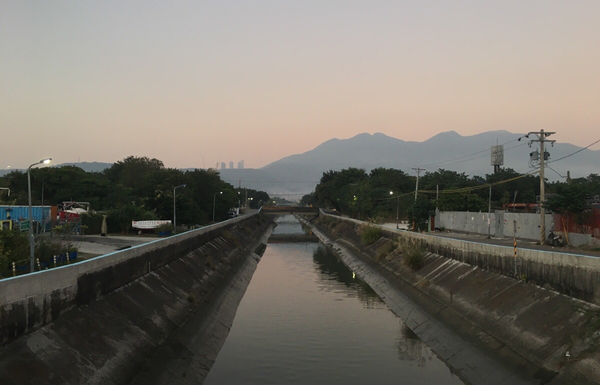
Once you leave the nature park behind, the landscape on the right becomes a path work of small industrial buildings and farmland. If you followed this canal all the way up you would eventually find yourself at Guizikeng.
The bike path was popular – a mixture of early-finishing office workers, sporty types and the occasional Korean tourist. I imagine that weekends are a lot busier, but on a weekday evening there was more than enough space for everyone.
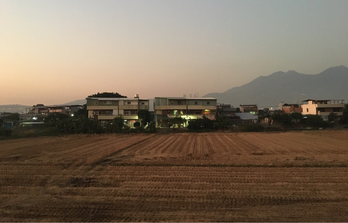
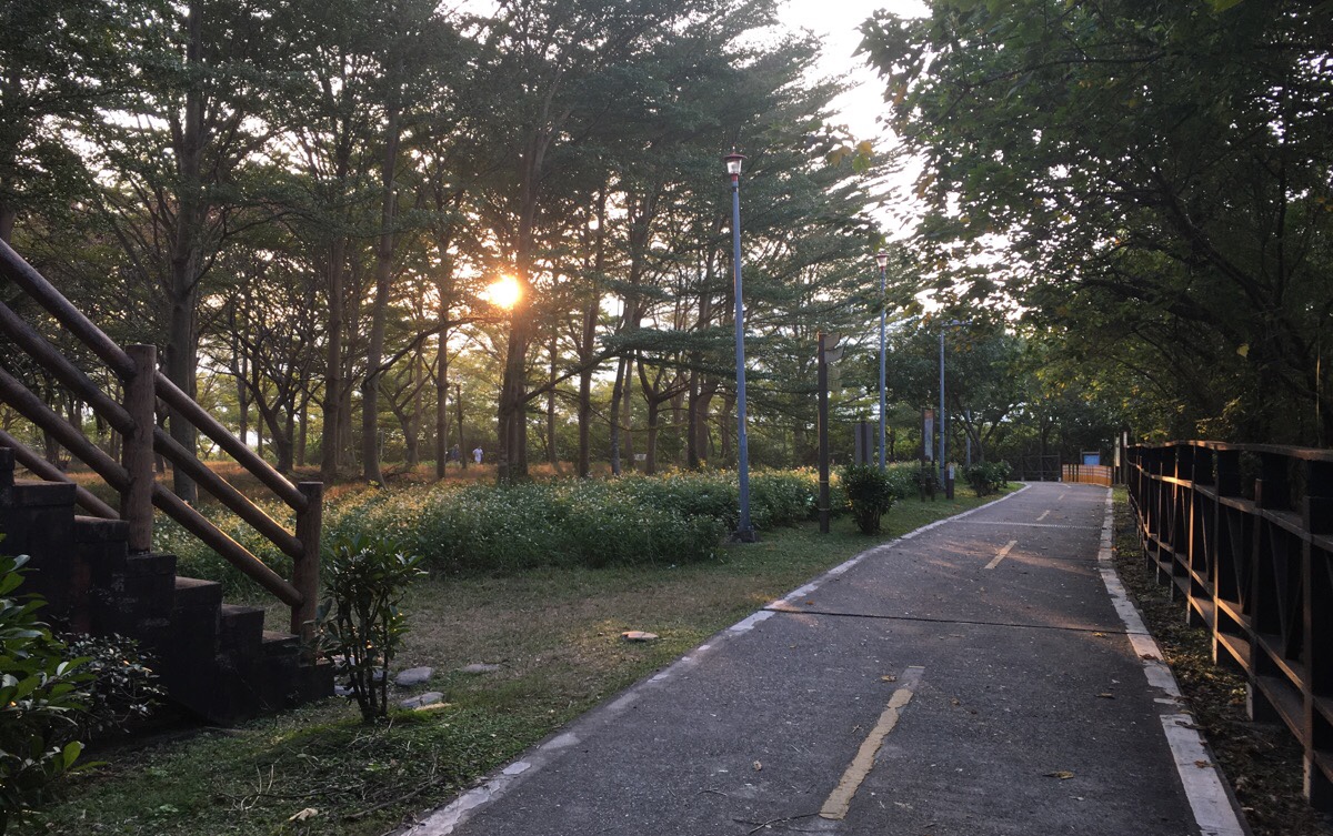
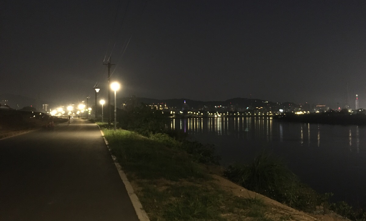
I found myself entranced by the magical quality of light. All those tints of gold, peach, rose and lilac – combined with the farming scenery and mountainous backdrop completely transports you out of modern-day Taipei.
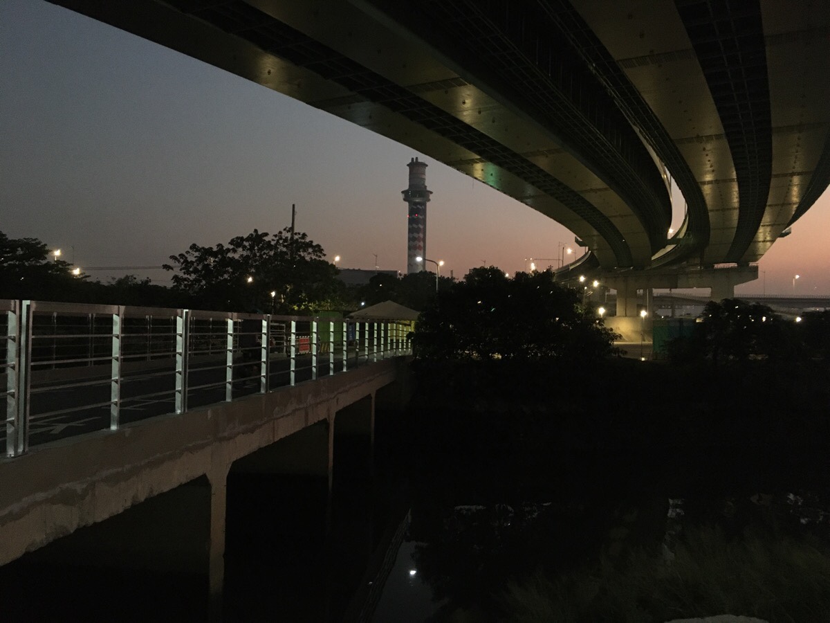
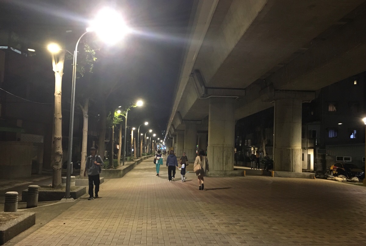
Once it had decided to fall, night came quickly. Thankfully the cycle paths are well-lit and still relatively well-populated even when it gets dark. I turned right over this bridge underneath the Zhoumei Expressway – on weekends this is a hive of cyclist activity, (there is a bike shop located here), but in the twilight it has become a completely different place. The shrill trilling of many hundreds of birds turned the evening into a concert of avian music. Despite the noise, I didn’t catch sight of a single one. Twitter experts suggest they were probably mynas or starlings of some variety.
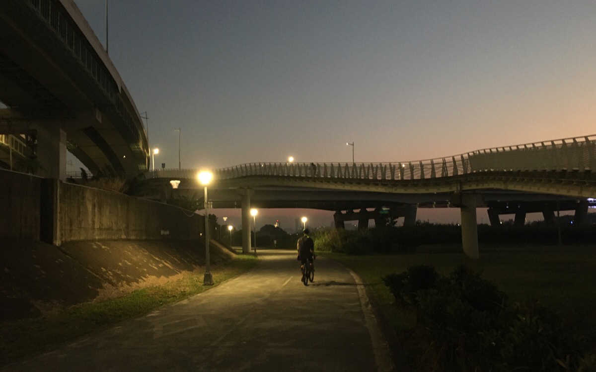
The cycle network gets a little complex here with paths splitting off in all directions. Just follow the main path under the bridge and keep going.
It was about this point that I felt very grateful for the fact that Taiwan is such a safe place. I’m not sure I would cycle off into the unknown dusk of a riverside cycle path back home, but here on Taiwan I wouldn’t think twice. (It’s like all places, it has a few problems, but overall Taiwan is a remarkably safe place to live.)
This next section appeared to me under construction – I almost didn’t recognise it in the dark and with the work that’s been done already.
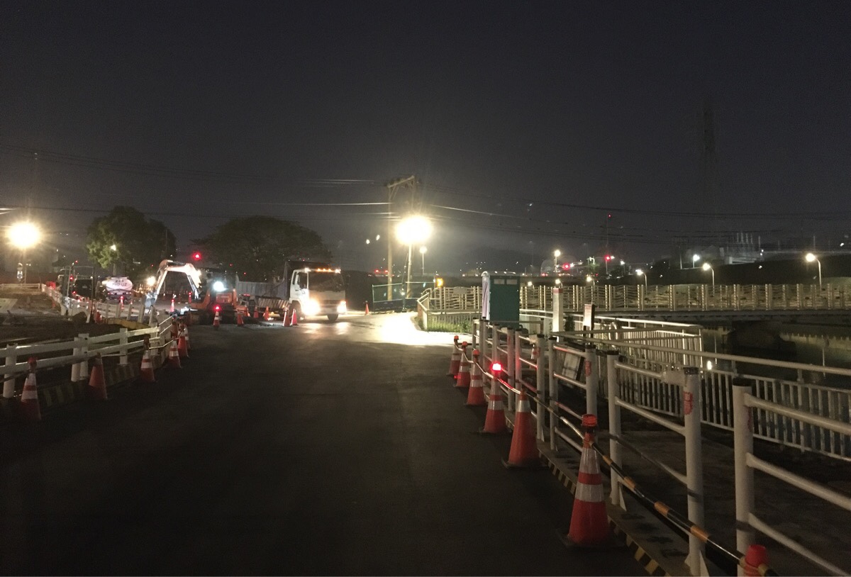
More signs of construction were evident as the cycle path approaches a bridge and a junction. The way straight was blocked, and I wanted to go to Shilin anyway, so I crossed over the bridge and took a left – the Taipei Children’s Amusement Park visible a little further along to my right.
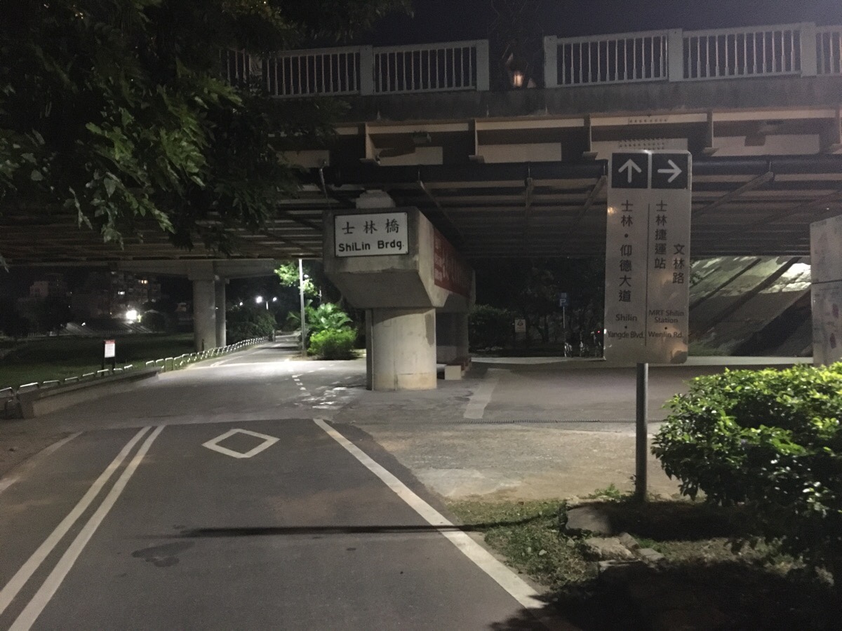
From the bridge crossing, it was only a matter of minutes before I reached Shilin bridge – my exit point for the day’s riding.
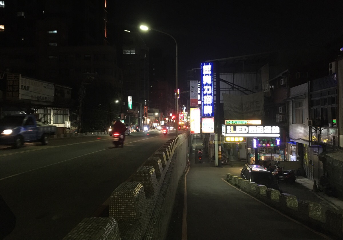
After heading up the ramp, I cycled down the narrow Wenlin Road and took a sharp left underneath the bridge and cycled towards the MRT line.
Once I’d made my way back to the MRT, it was just a few more minutes cycling down to Shilin station where I parked the bike and headed home.
How to get there
Google Maps address:
- Tamsui YouBike Stand – 251, New Taipei City, Tamsui District, MRT Tamsui Station
- Shilin YouBike Stand – 111, Taipei City, Shilin District
Public transport: the YouBike stands are located close to Tamsui and Shilin MRT Stations so it’s very easy to get there and back.
Nearby cycle paths:
Tamsui River Bikeway
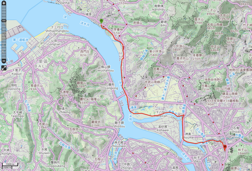
GPX file available here on Outdoor Active. (Account needed, but the free one works just fine.)
This is the bit where I come to you cap in hand. If you’ve got all the way down this page, then I can only assume that you’re actually interested in the stuff I write about. If this is the case and you feel inclined to chip in a few dollars for transport and time then I would appreciate it immensely. You can find me on either Ko-fi or Buy Me a Coffee.

Have you gone there recently?
I usually go walk from Zhuwei to Tamsui and then back, but with the Level 3 restrictions I haven walked the path anymore.
Would you still feel safe to walk there at night?
LikeLiked by 1 person
The last time I visited the area was maybe April, but that time I went from Tamsui up a bit further towards the fisherman’s pier. I haven’t been to this particular river park at night, but several other that I’ve visited after dark have been fine. They’re normally well lit and full of people exercising until at least 10:30.
LikeLike
Thanks!
LikeLike