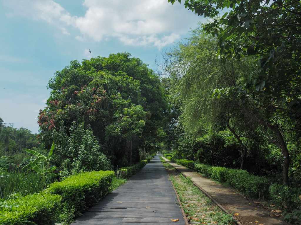
 This gentle ride in Taoyuan has been deftly stitched together from the remains of the old Taolin coal railway. The scenery cannot be described as breathtaking, but it’s a fun way to explore part of Taoyuan that’s well off the tourist trail.
what to do in Taipei
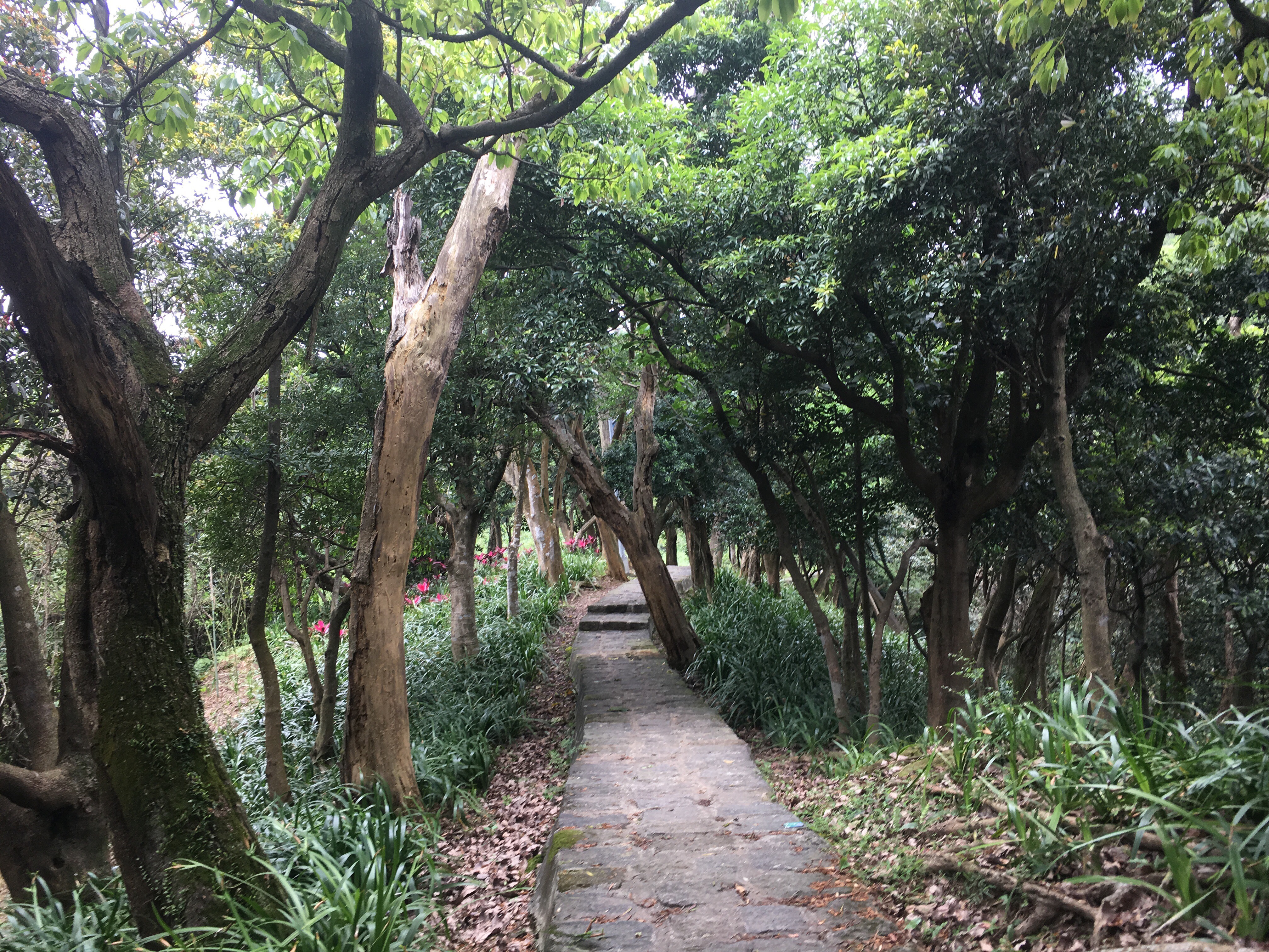
NANGANG TEA MOUNTAIN TRAIL (南港茶山步道 )
 If you picture Nangang District in your mind what do you see? The train station? The exhibition centre? The giant software park? I bet you didn’t envision quiet hillsides cloaked with neat rows of tea. This trail offers an insight into a side of Nangang that not so many people know about.
NEISHUANG CREEK and XIN ZHEN TOU PEAK (內雙溪/新圳頭山)
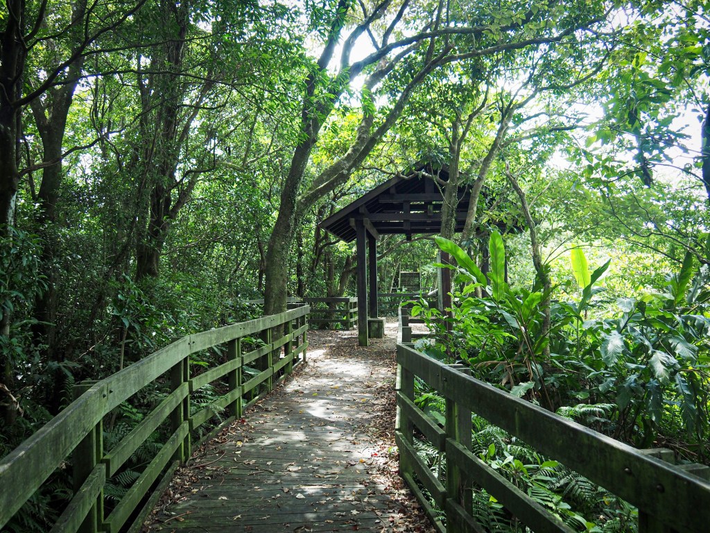
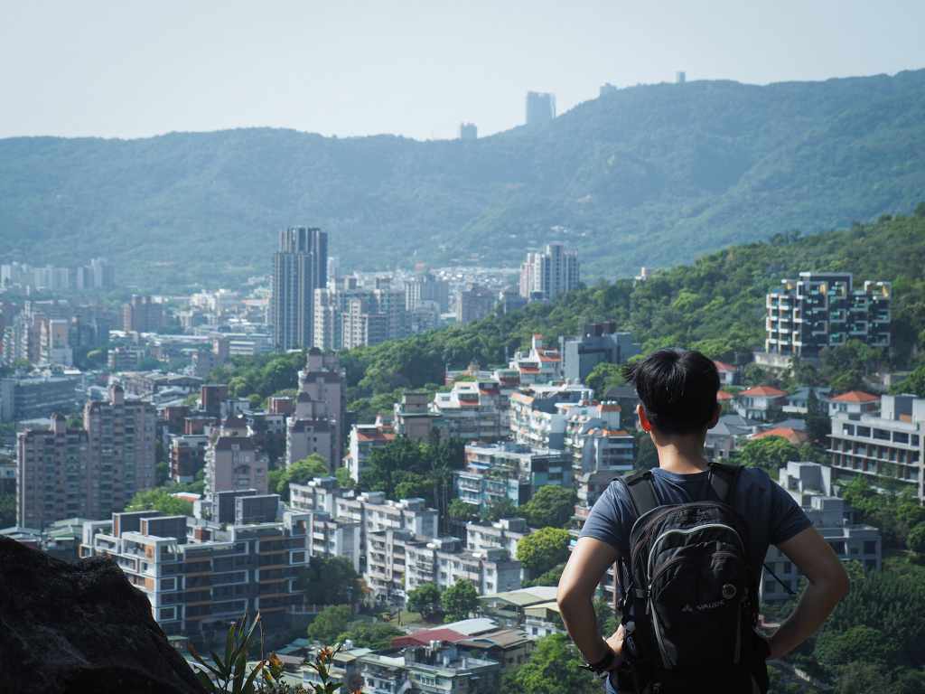
A short walk in the southeastern corner of Yangmingshan National Park. This trail would make the perfect picnic walk to beat the summer heat.
XINDIAN LION’S HEAD MOUNTAIN HIKING TRAIL (新店獅頭山登山步道)
 Lion’s Head Mountain is unassuming peak at the sourthernmost terminus of Taipei’s Songshan-Xindian line which holds unexpected opportunities for adventure. Popular with the local population of retirees, this network of paths is well furnished with shelters, and looping trails around the hillside with changing city-scapes at every turn.
BIHU PARK AMBLE (碧湖公園)
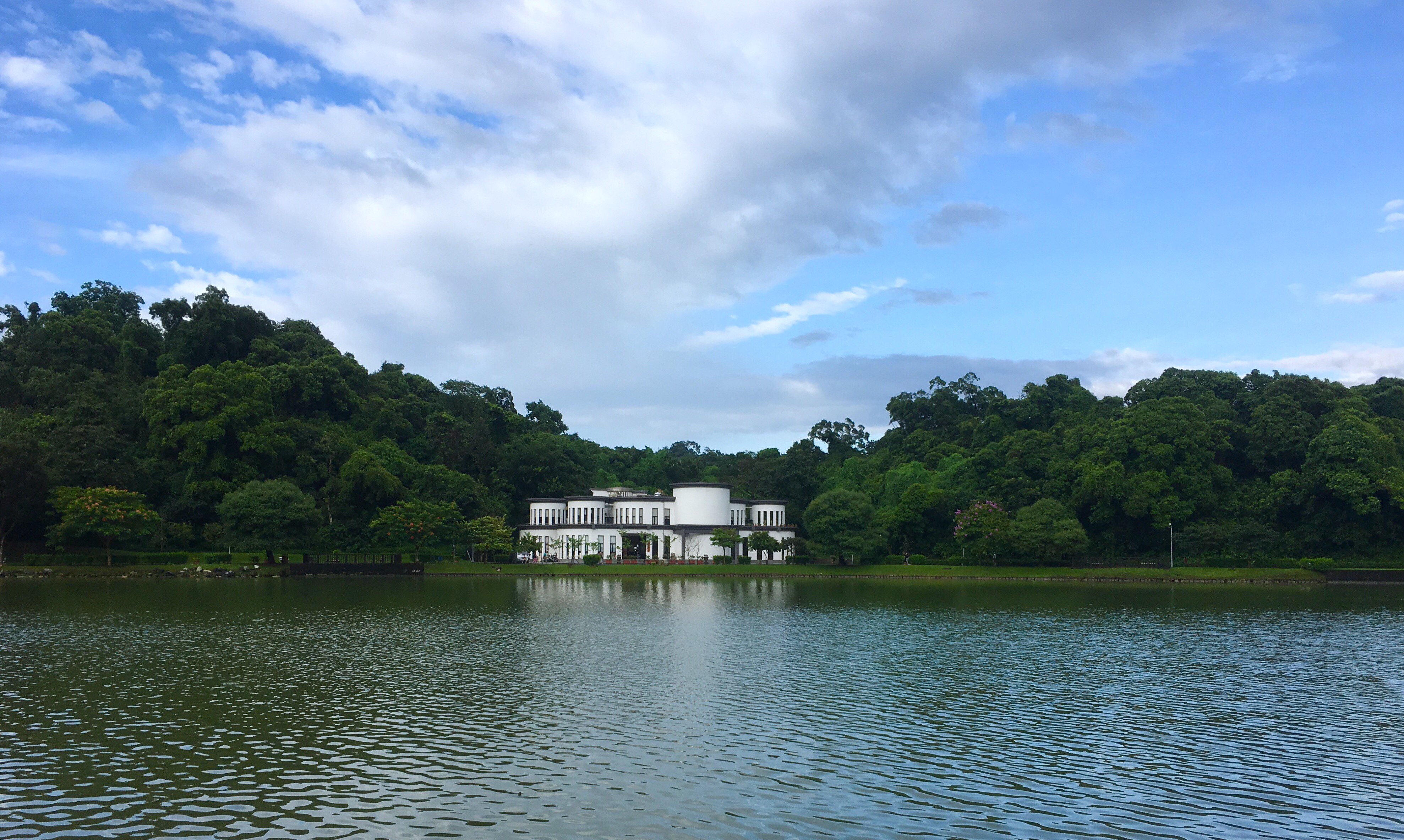 A very short and simple stroll around a pretty lake. This walk should be an easy one to do if the weather isn’t being cooperative, or if you want to bring the kids.
JINMIAN SHAN – a longer route (金面山)
 A great trail taking in one of Taipei's most Instagrammable spots. This walk can be done in a morning or afternoon and is easy to get to from the MRT.
CHERRY BLOSSOM, OLD CANALS AND HOT SPRINGS IN BEITOU DISTRICT (風尾步道/頂圳步道/拐圳步道/龍鳳谷步道)
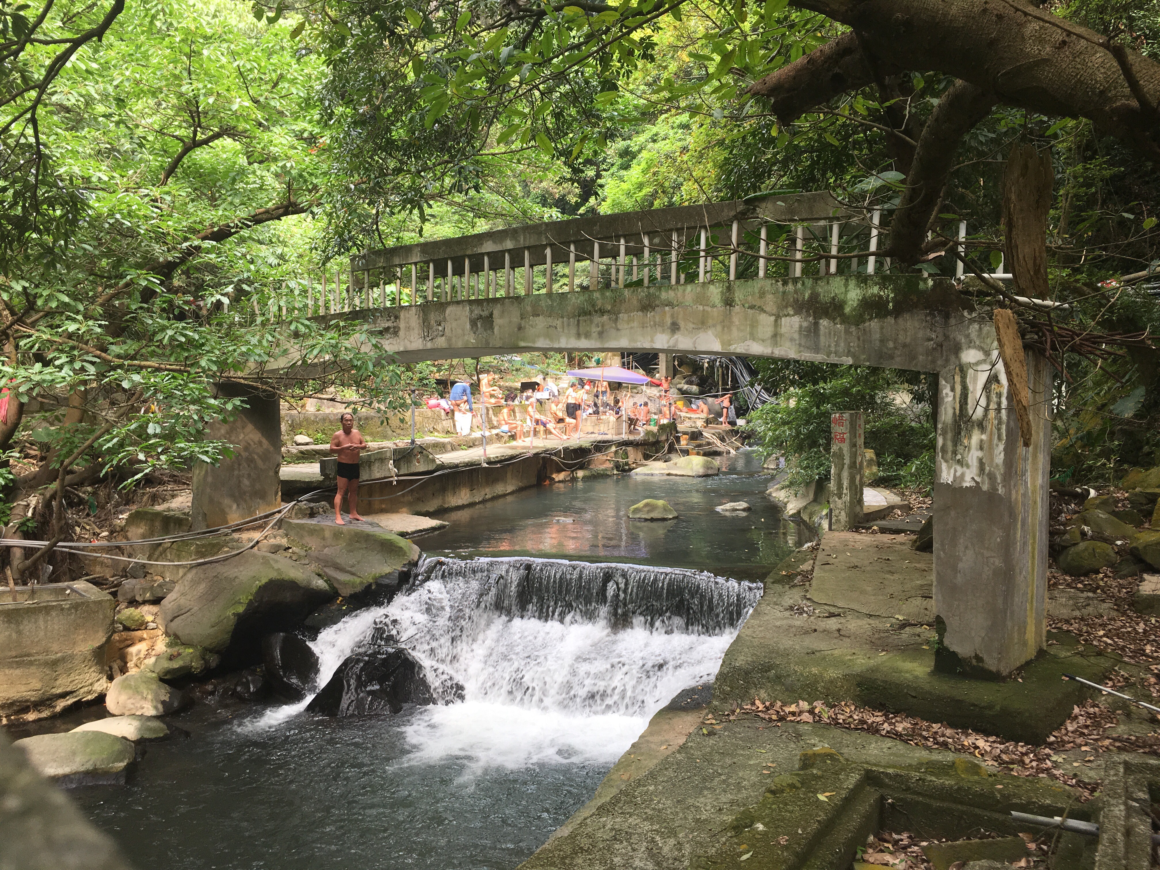 During the first three months of the year, this trail in Beitou is popular with sakura seekers. But even if you miss out on the beautiful blossoming trees, this walk still has plenty to offer. It takes in irrigation canals, streams, plenty of small temples and the dramatic sight of Sulphur Valley.
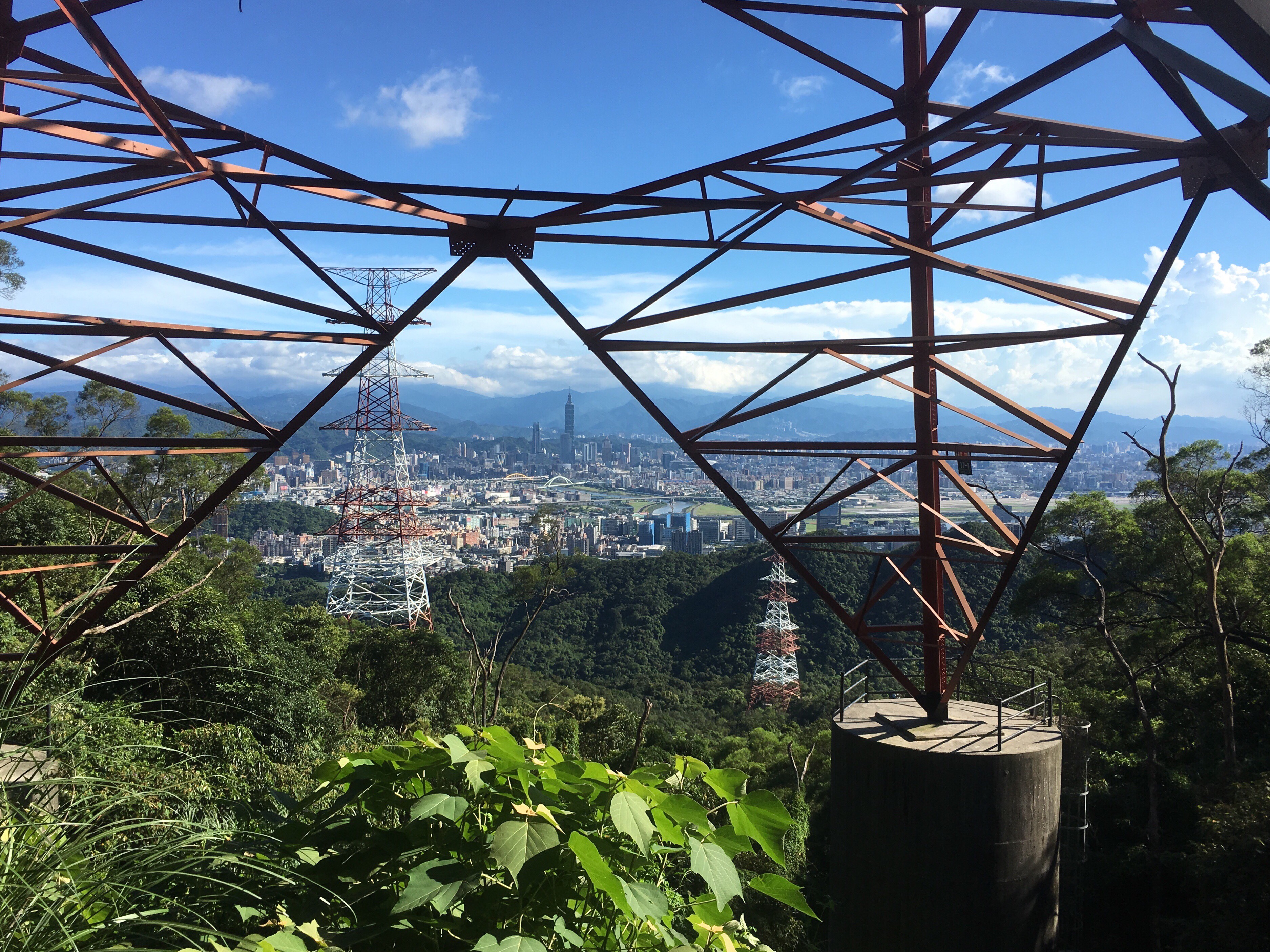
TAIPEI GRAND HIKE – NANGANG MOUNTAIN RANGE AND FUYANG BRANCH LINE (南區茶鄉大縱走 – 南港山系/富陽支線)
 The Taipei Grand Hike’s southern arm stretches over the peaks of the Nangang mountain range and up to the huge temples and tea plantations of Muzha. In this section, you will experience wonderful views over Taipei, some of the most popular trails in the city as well as some much quieter, less frequented routes. Take in 360 degree views, historic trails, a mountain-side cemetery and a whole load of temples. This walk is a great way to start your Taipei Grand Hike adventure.
TAIPEI GRAND HIKE – ERZIPING TO XIAOYOUKENG VIA DATUN SHAN (北區稜線大縱走 – 二子坪/大屯山/小油坑)
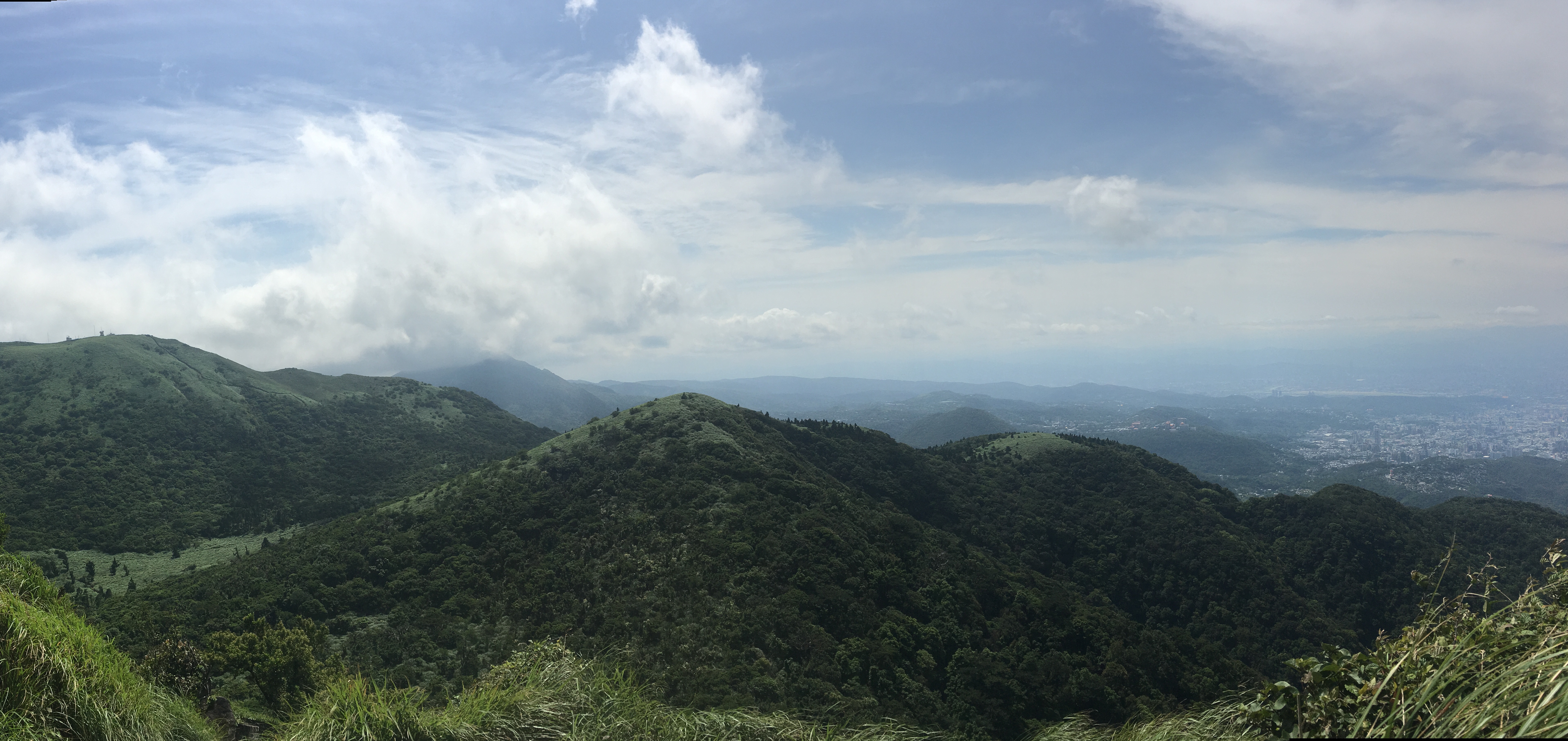 The second leg of the Taipei Grand Hike climbs some of the wilder peaks in the west of Yangmingshan National Park. This section starts from Erziping and takes in three peaks on the Datun Multi-Peak Trail before dipping down into the picturesque scenery of Dinghu. Then finishes by climbing along a stream to the steaming crater of Xioayoukeng.
EGRET HILL (白鷺鷥山)
 Egret Hill is probably not on most people's radar, but if you're looking for a place for a family stroll, a lazy day walk then it's definitely worth considering. As well as offering a short and straightforward walk through some pretty trees, the path leads you back to the MRT station via the beautiful Dahu Park.
XIAO XI TOU LOOP TRAIL (小溪頭環狀步道)
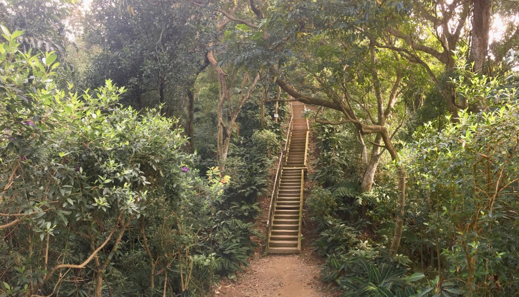
 What starts of being a bit of a stair master soon gives way to reward you with a tree-sheltered lake, quiet forest scenery, squirrels, and even a couple of views.
SANCHONG AND LUZHOU CYCLE LOOP
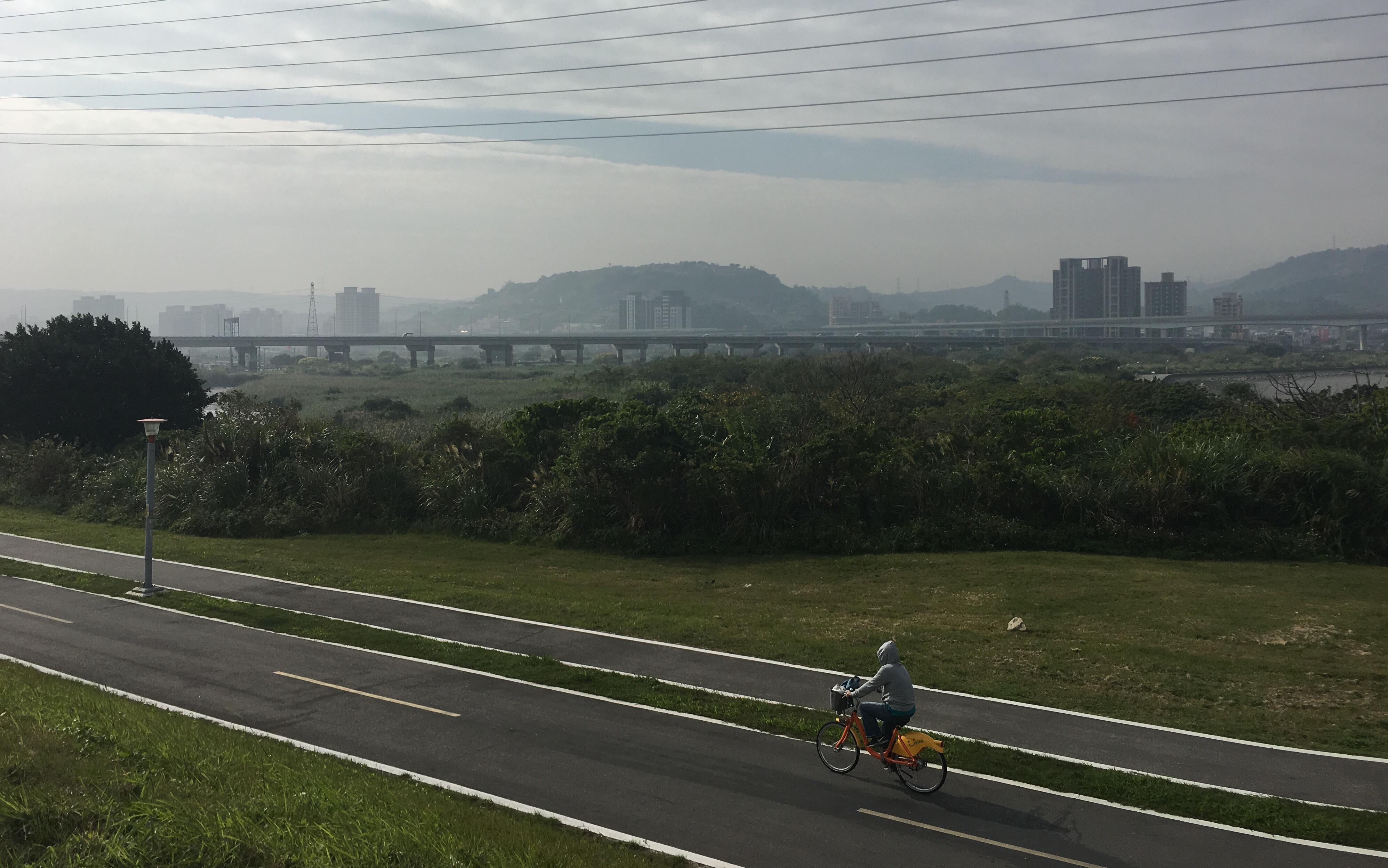 If you look at Sanchong and Luzhou on a map, they seem to form an island, cut off from the rest of Taipei by rivers and parks. Luckily for the residents of this area, these unbuilt-up spaces house a great network of cycle paths where you can enjoy either a good bit of exercise or a laid back bike ride depending on your mood and energy levels.
DATUN STREAM TRAIL LOOP (三板橋/竿尾崙山/小觀音山西北峰/大屯溪古道)
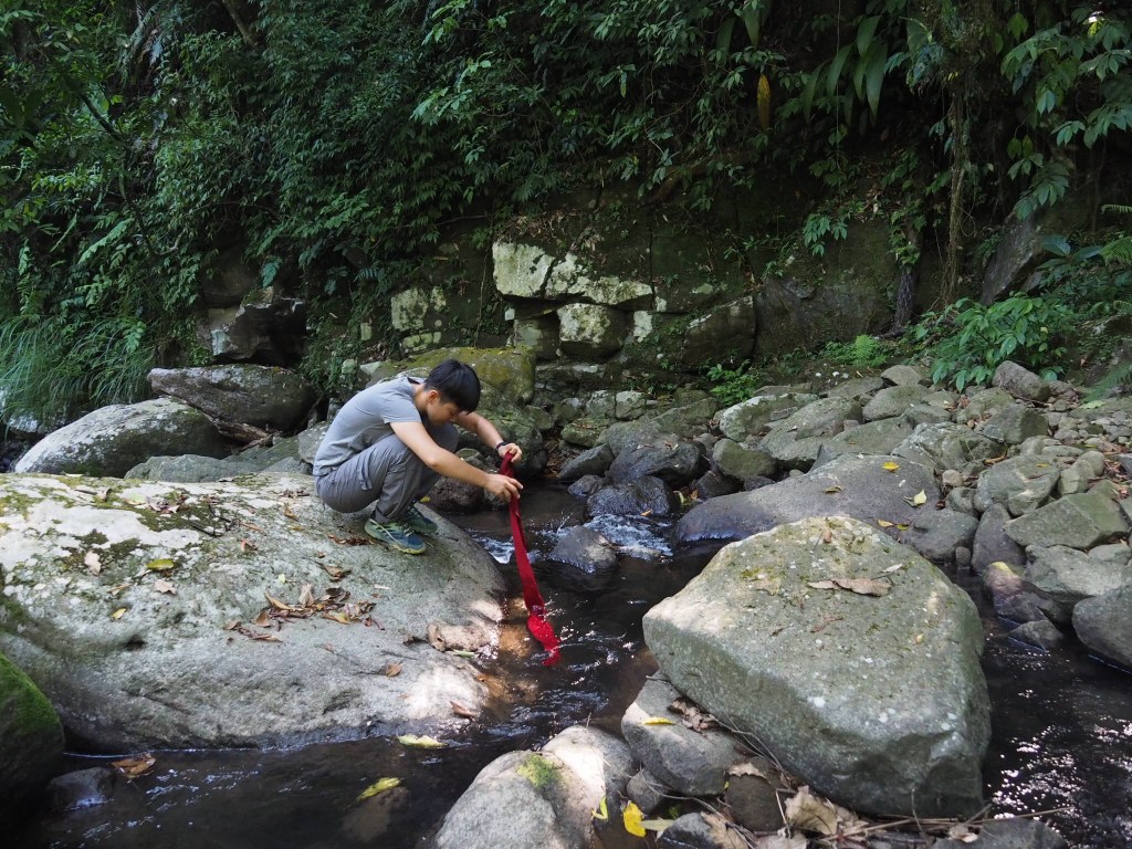
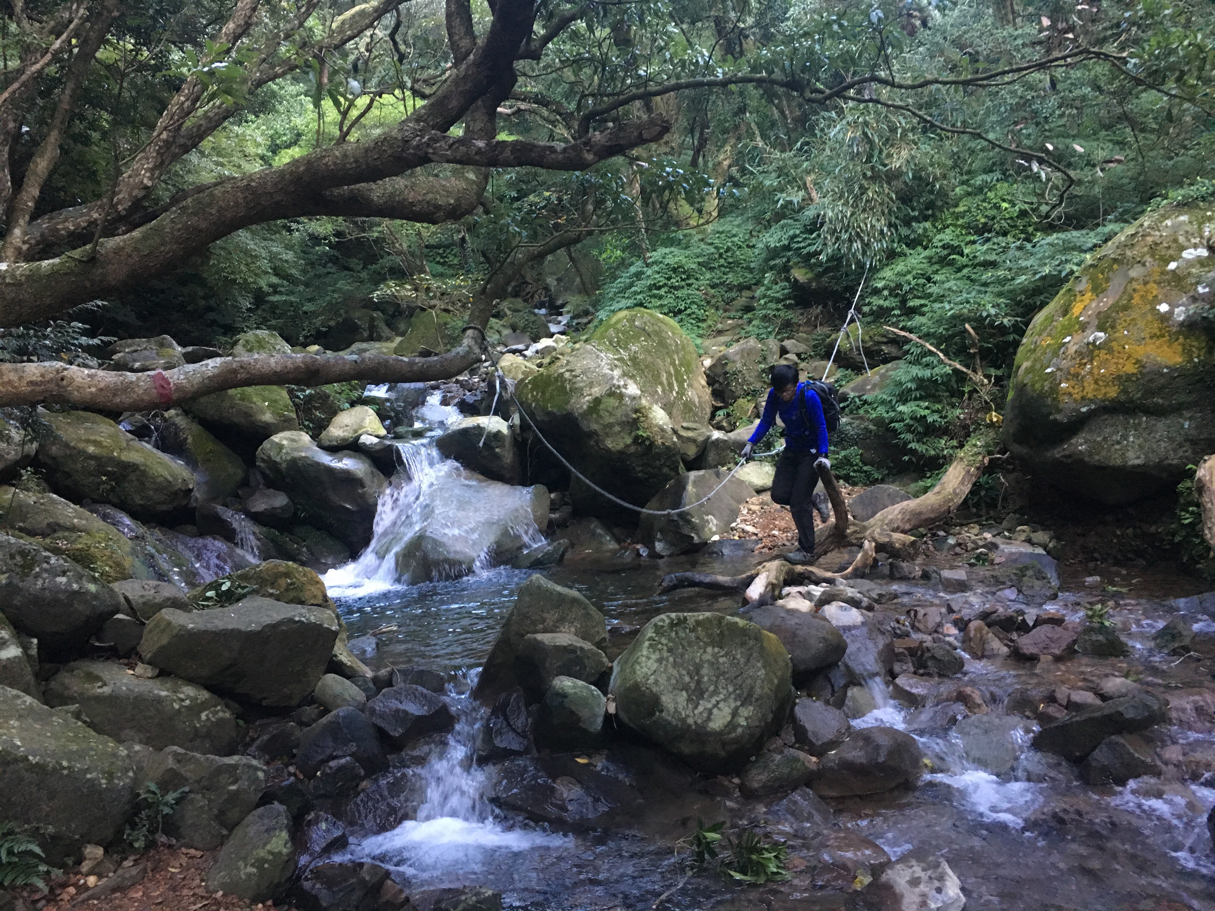 This loop trail takes you to a wilder edge of Yangmingshan Park that many visitors never see. The first section is a tough climb through quiet, dense forest. The mid section takes you scrambling from peak to peak through a maze of bamboo. And during the final section all your hard work is rewarded as you experience the sheer pleasure of following a delightful stream carving its way down through a luscious valley.
QILIAN TO XIN BEITOU VIA REHAI CLIFF (唭哩岸站/熱海攀岩場/新北投)
 Most walkers in the area come for Battleship Rock's photogenic qualities, but if you've been there and done that, perhaps your next walk could be this alternative route through the hills of Beitou District.
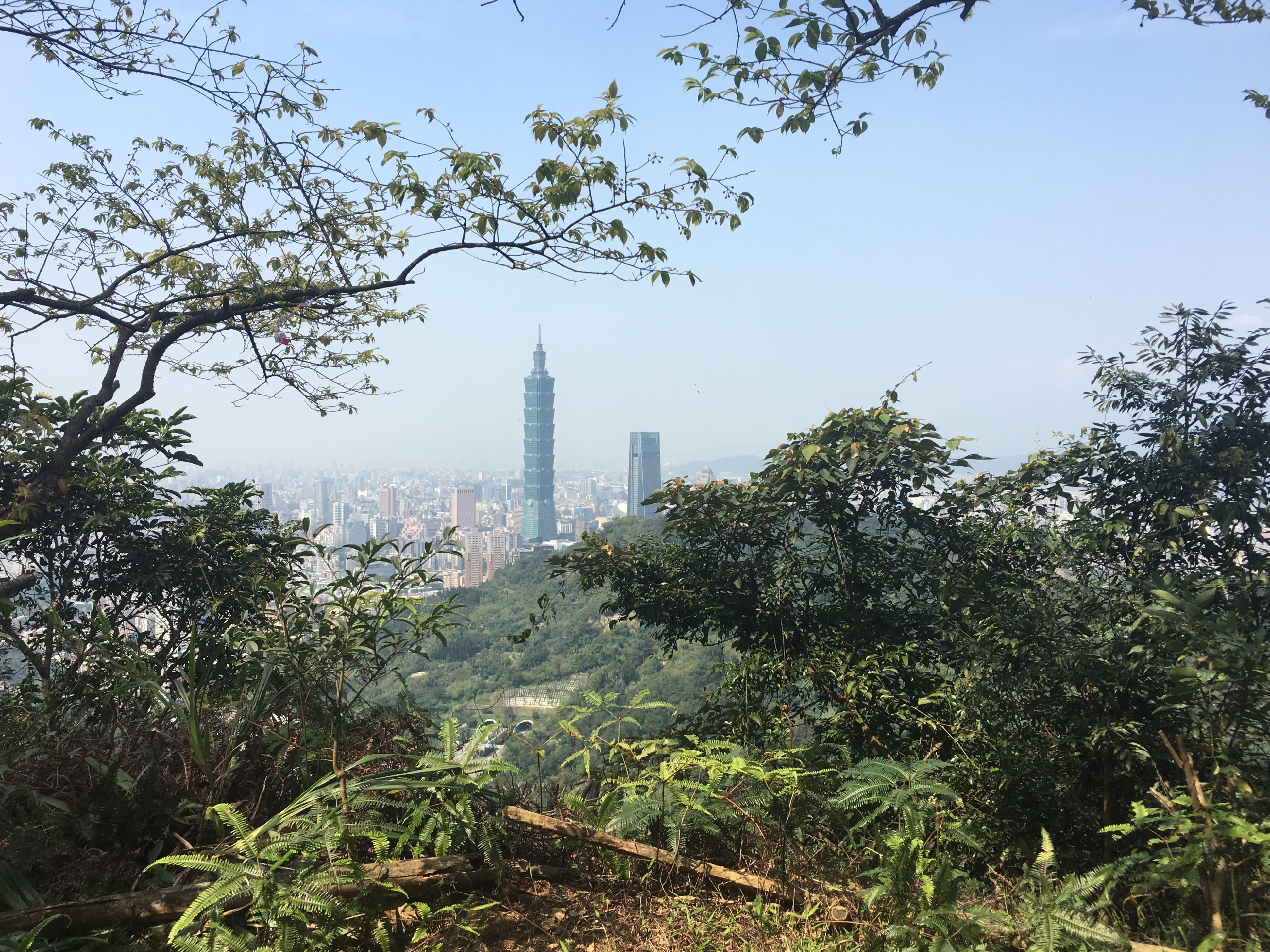
JIANTAN HIKING TRAIL TO WENDE (劍潭山親山往文德)
 Sandwiched between the busy Zhongshan district and the more northern Shilin district rises a green ridge stretching from near Jiantan station in the west to Neihu in the east. A big network of trails of varying difficulties crisscrosses this area and offers the city explorer plenty of opportunities for fun.
