
Distance: 4.5km – It could be a little shorter if you cut out the bit with the lake, but I recommend that you do that bit.
Time: 2¼ – We were going at a pretty gentle pace for most of the way.
Difficulty: 3/10 – If you don’t do the lake, 4/10 if you do. The main trail is pretty well sign-posted and mapped, the difficulty just comes from the fact that it is pretty much 50% climbing and 50% heading downhill, so there are a lot of steps. The added difficulty from the lake section comes from the fact that this section of the trail isn’t so well marked (no English signs and some unsignposted junctions), and the path is all natural (roots, rocks, stream). However if you’re physically able to get up to the high point of the walk, this shouldn’t be beyond you.
Total ascent: 284m to a high point of 458m.
Water: I got through 0.5L on a warm February day, and wanted more after finishing.
Shade: On and off—I used an umbrella quite a bit.
Mobile network: Mostly ok, but the section by the lake had no service.
Enjoyment: This is a very serviceable lazy Sunday walk. During the first third, I was of the opinion that it was going to be a nothing special walk which was good for exercising, but nothing else. However, our decision to make a slight detour to the little lake, and the downwards portion elevated it to something a lot more enjoyable.
Jump to the bottom of this post for a trail map, GPX file, and transportation information.
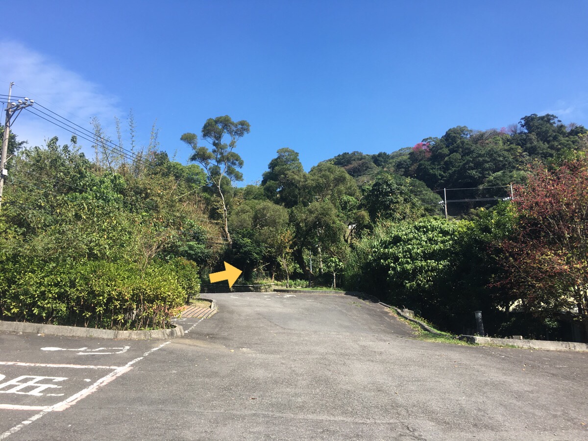
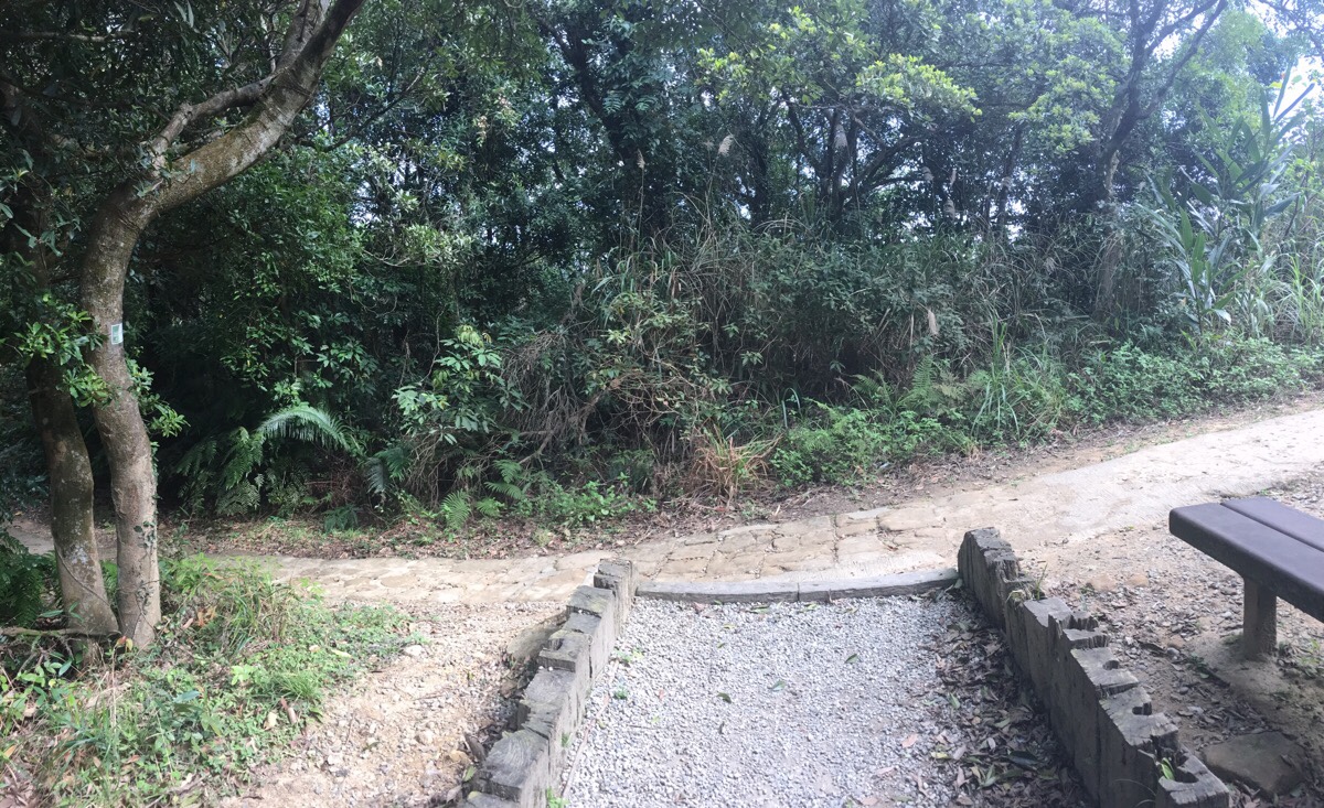
We scootered up to the carpark here, which was just a little down the hill from where the proper walking started. This being the day when most normal people were settling in at home for a final burst of da sao-ing before welcoming in the new year, the only other occupant was a sunbathing black dog. He managed to raise his head to see who we were before giving in to the unseasonably warm sun.
Where the road arrives at a kind of outdoor amphitheater, take the trail on the right.
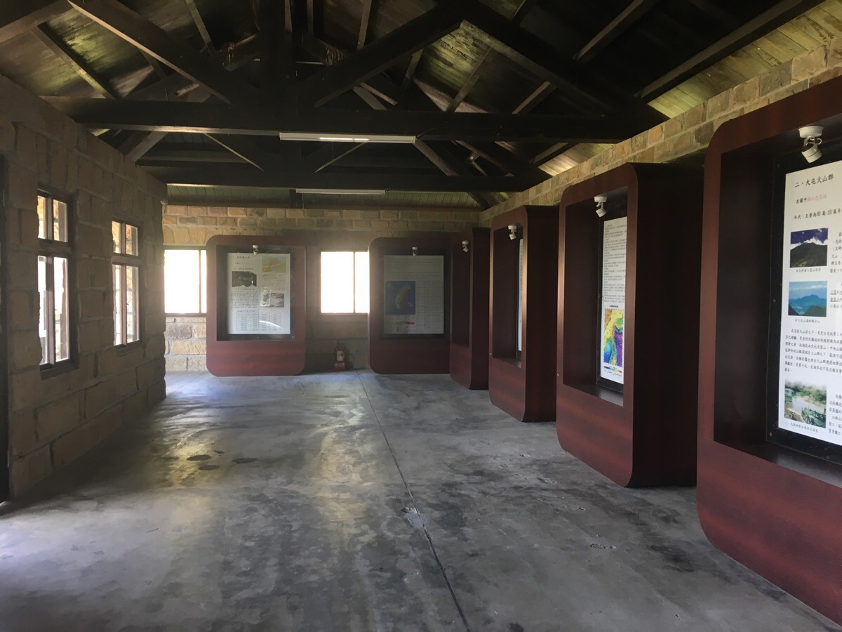
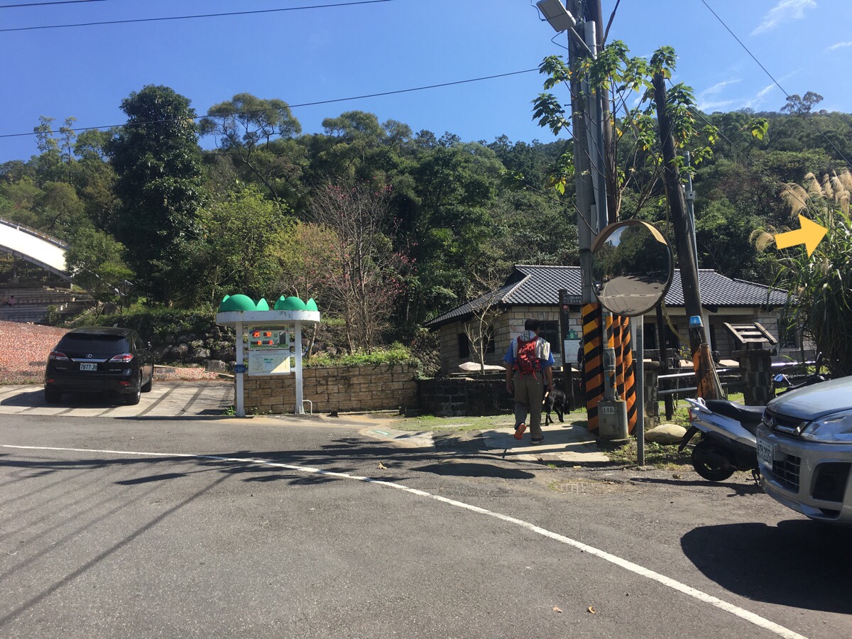
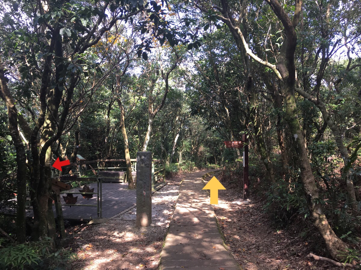
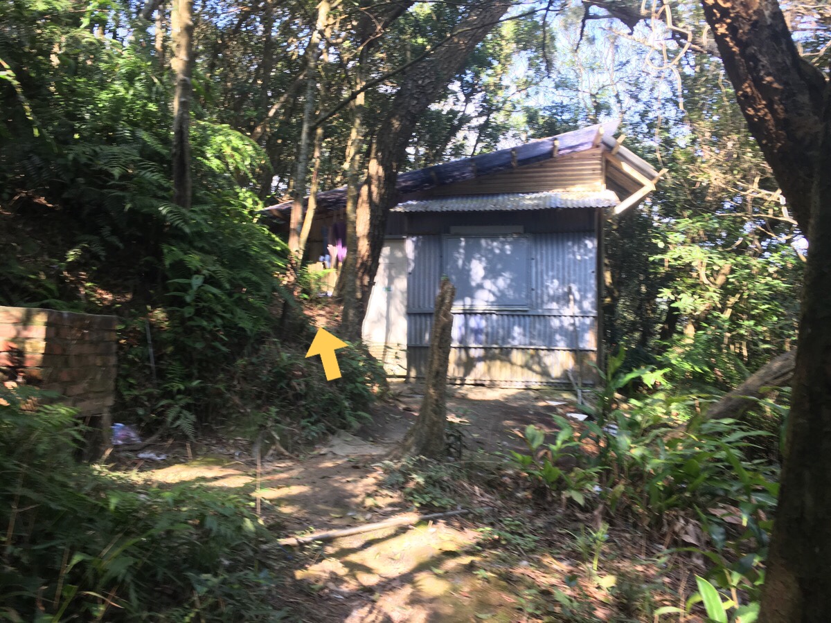
A large house sits just back from the road. This is an example of the type of houses that the wave immigrants to Taiwan built down hundred years ago. This particular one has been reconstructed after being dissembled (for an unspecified reason). Inside there are information boards describing various aspects of Taiwan’s geology to anyone who has a good enough grasp of traditional characters. In front of the house was a small pool which was full of tadpoles and unseen, but loud frogs which were surviving despite the scummy sheen on the surface.
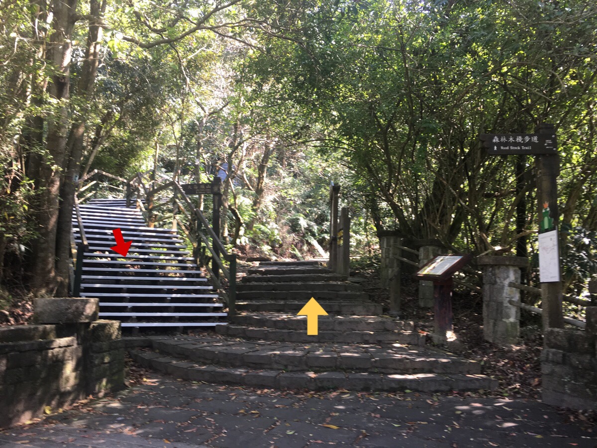
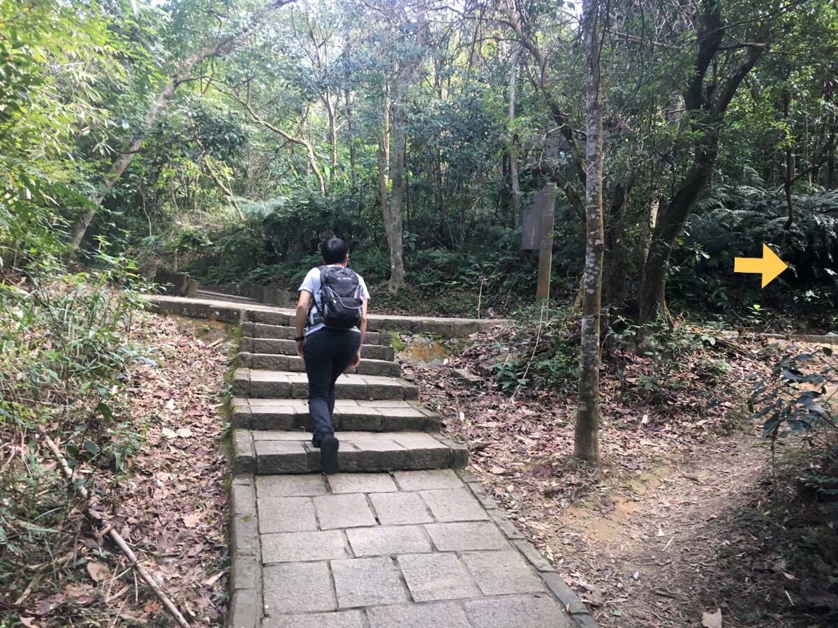
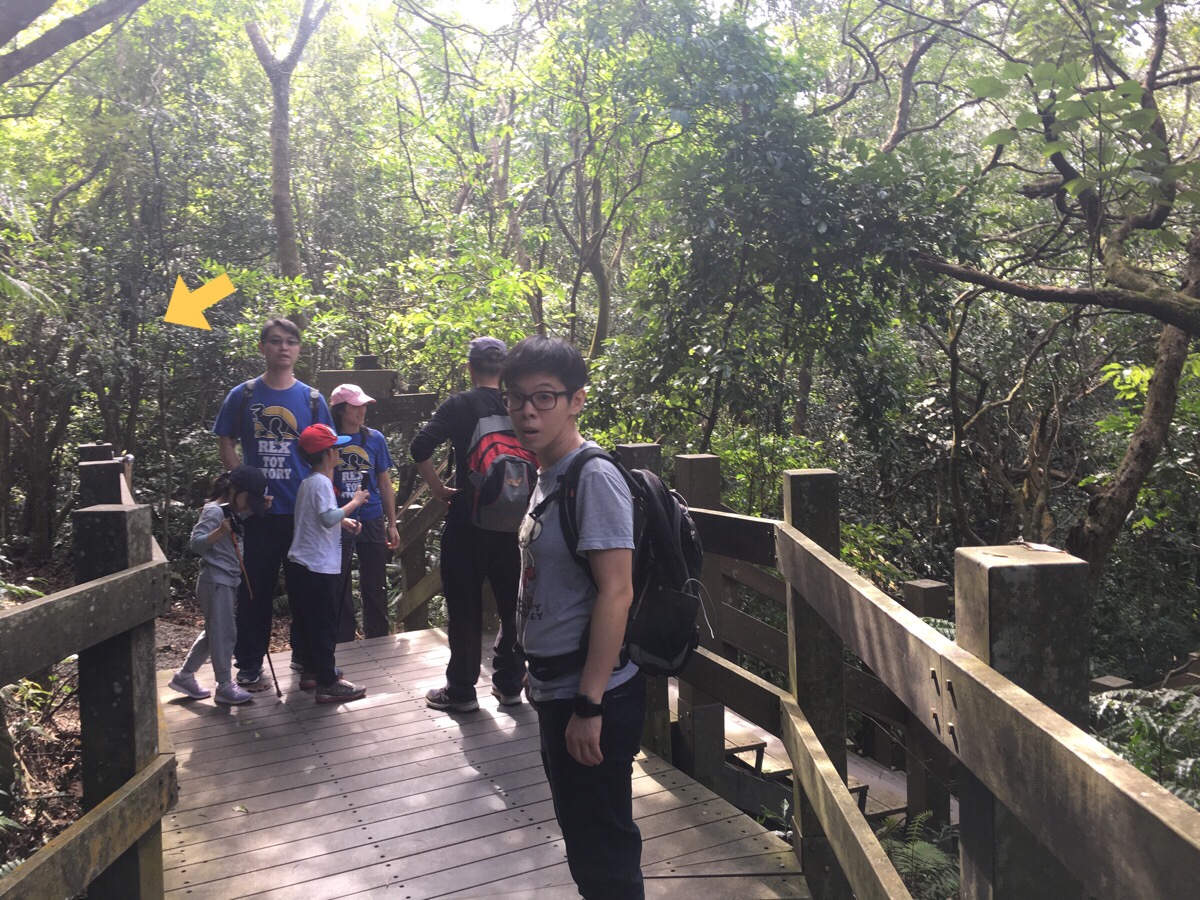
Just beyond the stone house, the trail splits in two. We took the right one and ended up coming back down the left one. I strongly advise you do it this way too since the wooden steps on the right side are noticeably older and rustier than the nice new stairs to the left, going this way allows you to see where the supports have rusted away.
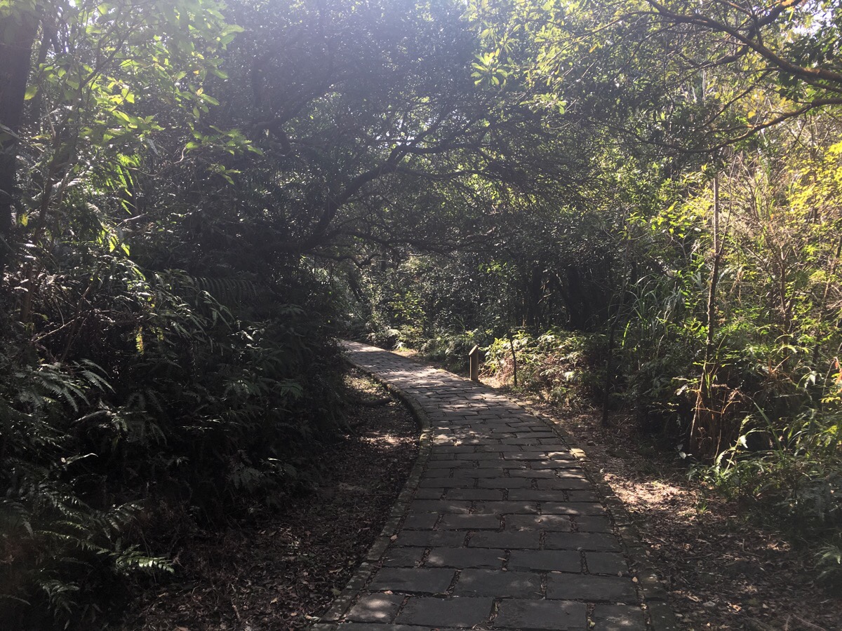
The walk starts off easy enough, stone path, shade, a few steps up and down. Along this section we were accompanied by a family consisting of grandpa, grandma, father and son. The little boy was showing off and testing his independence by running up to walk just behind us.
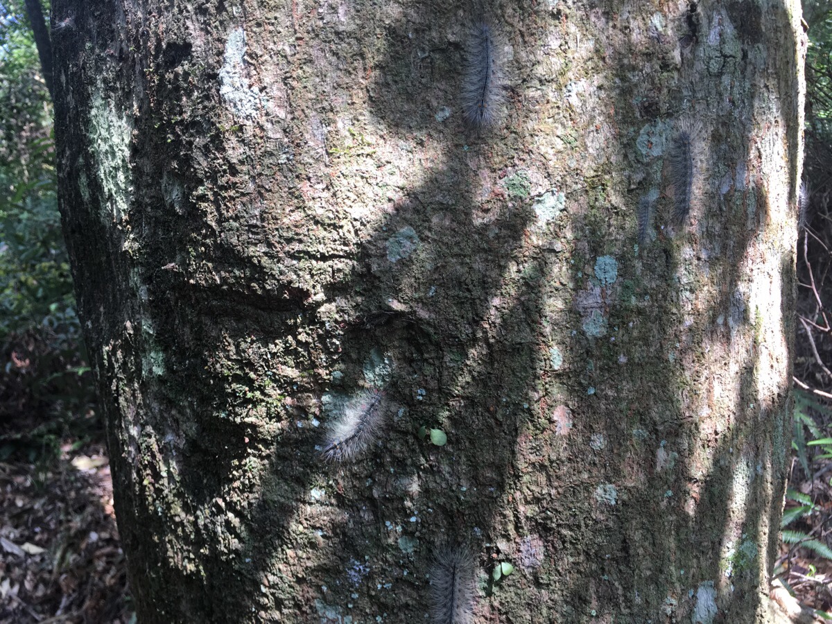
When we spotted these caterpillars which had infested a tree (and indeed all nearby trees of the same species), we pointed them out to him, but he was too shy to stop to look.
The trail starts to climb a bit and there are two strange viewing platforms built just off the trail proper. One is built in the shape of a club (the poker clubs platform) and the other a spade (the poker spades platform) from a pack of cards. As well as the apparent random nature of their design, I was unsure as to why they’d been put in these particular locations, since the only view was trees.
Perhaps that was the point.
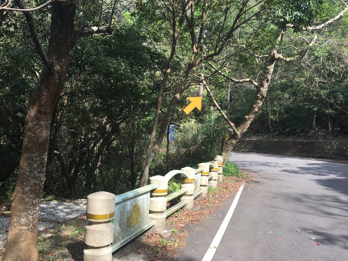
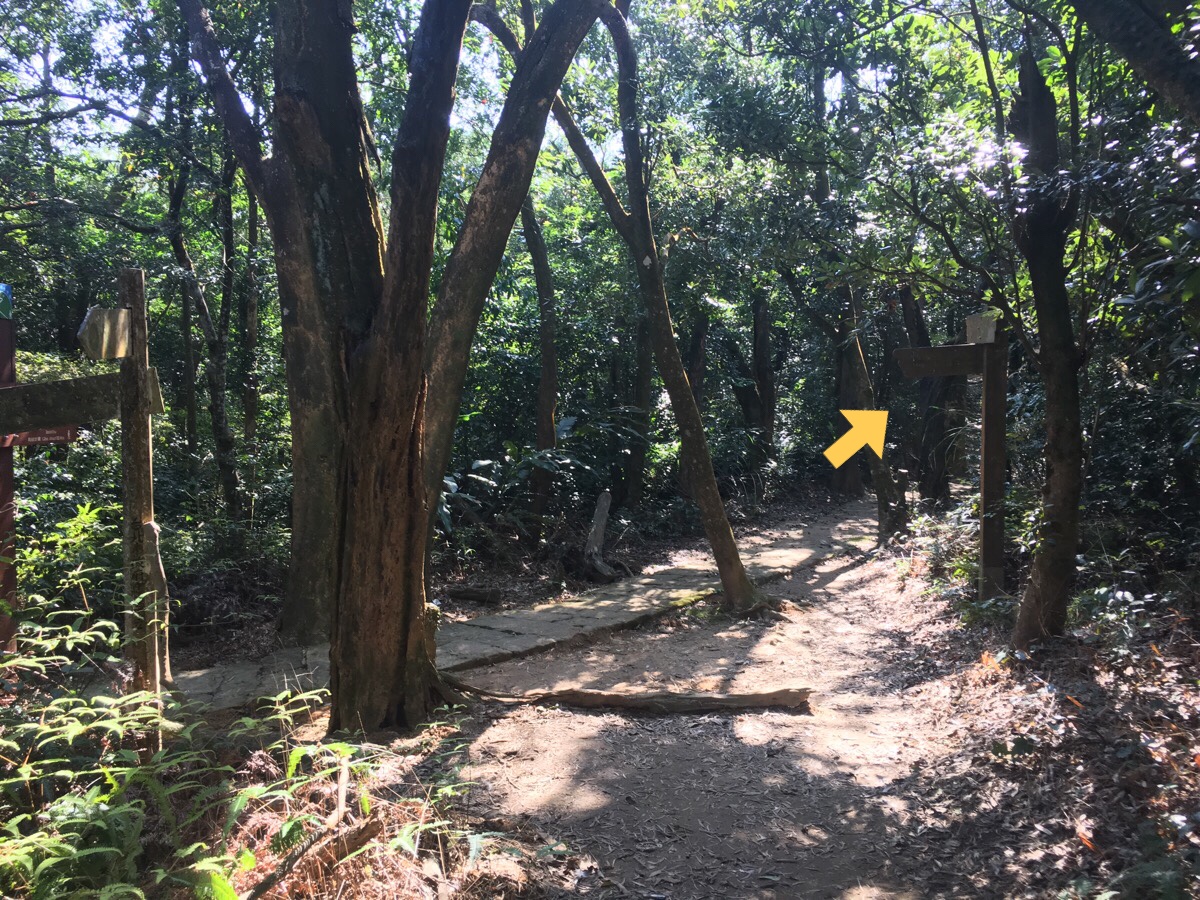
At a junction, we went right in order to catch the next section of the trail heading up over the road.
The first turning on the left up to the road was roped off due to an old structure, so we kept going and veered left, walking just alongside and below the road for a way.
At this point, we looked down to our right and noticed a pair of slightly older folk who’d clearly been around the block enough times to know how they like to do their kind of hiking. They had lugged reclining camp chairs down to a spot on a bridge where they could smoke (or at least grandpa could), and watch the water flowing by.
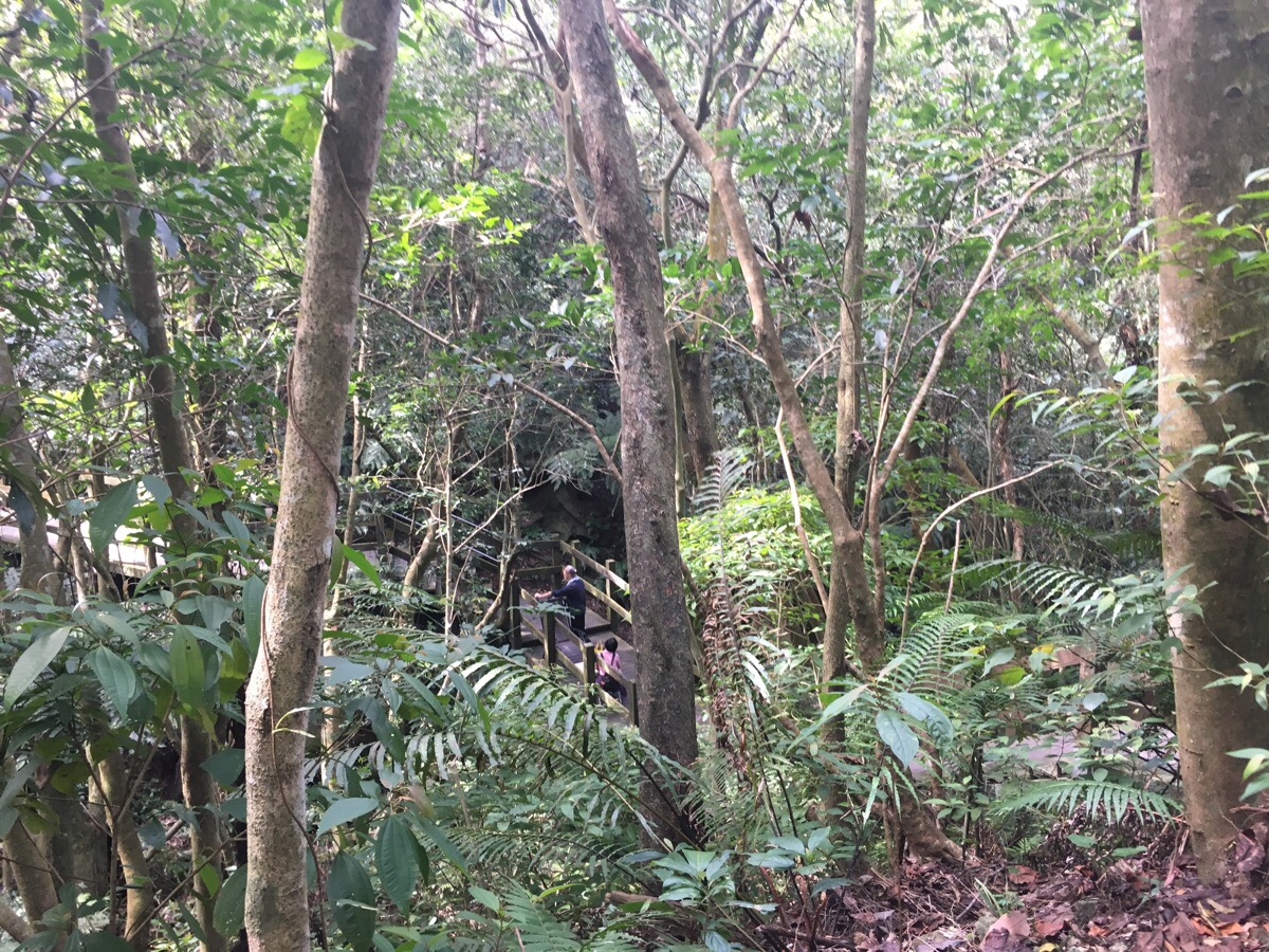
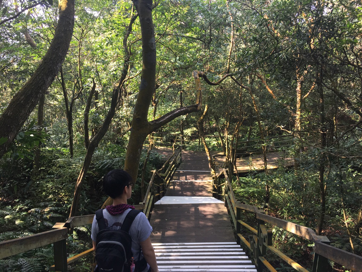
Aftee passing a noisy water pumping station, the path reaches the road, and we turned left and crossed at the portaloo. From here the steps that go up are wooden with metal supports. Both the wooden slats and metal parts are in the process of decaying, but not yet bad enough to warrant being redone (in Taiwan at least, I’m sure they’d have been roped of/ripped up back home for fear that someone would stage a costly accident on them). Anyway, it’s worth just watching where you tread.
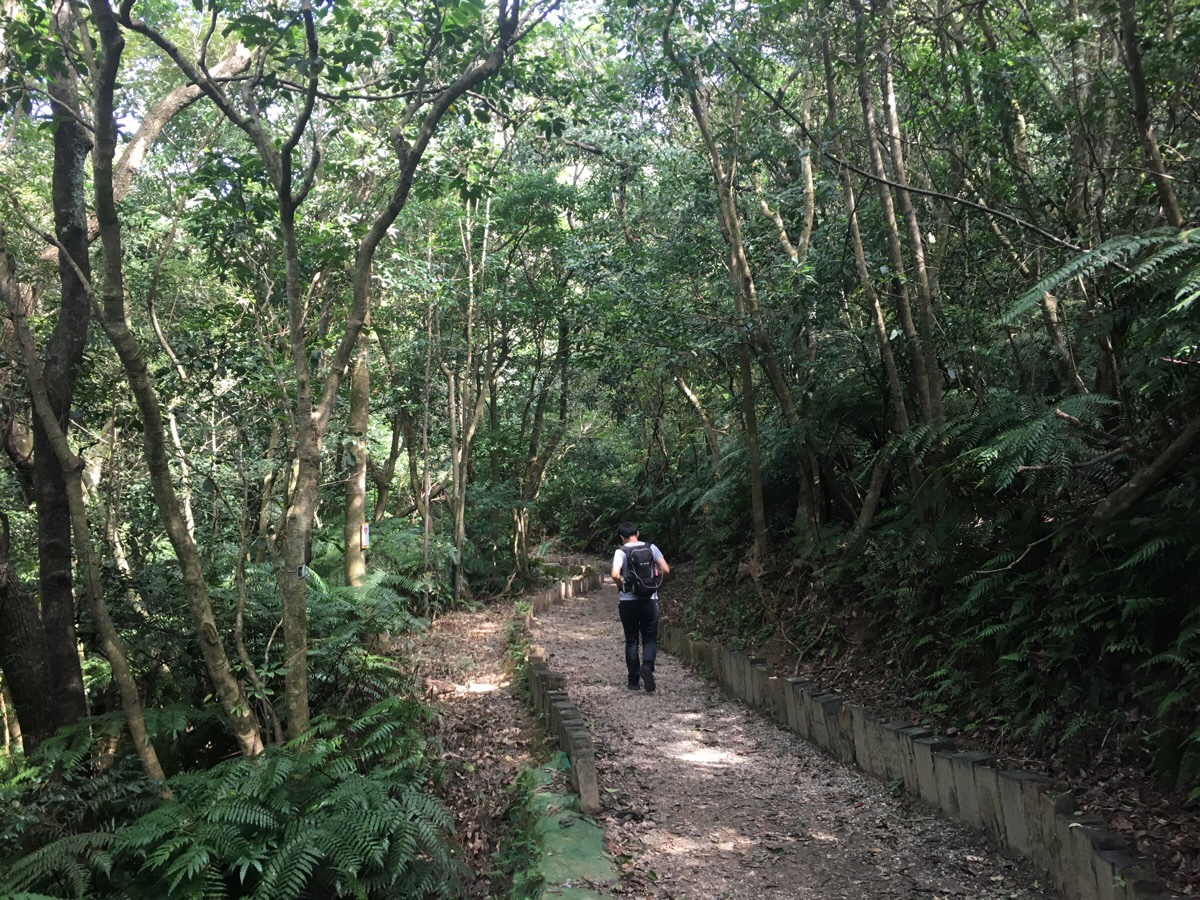
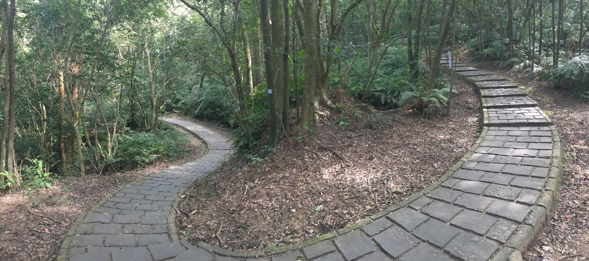
The sections which aren’t comprised of wobbly steps are mostly loose gravel, so the walking is easy.
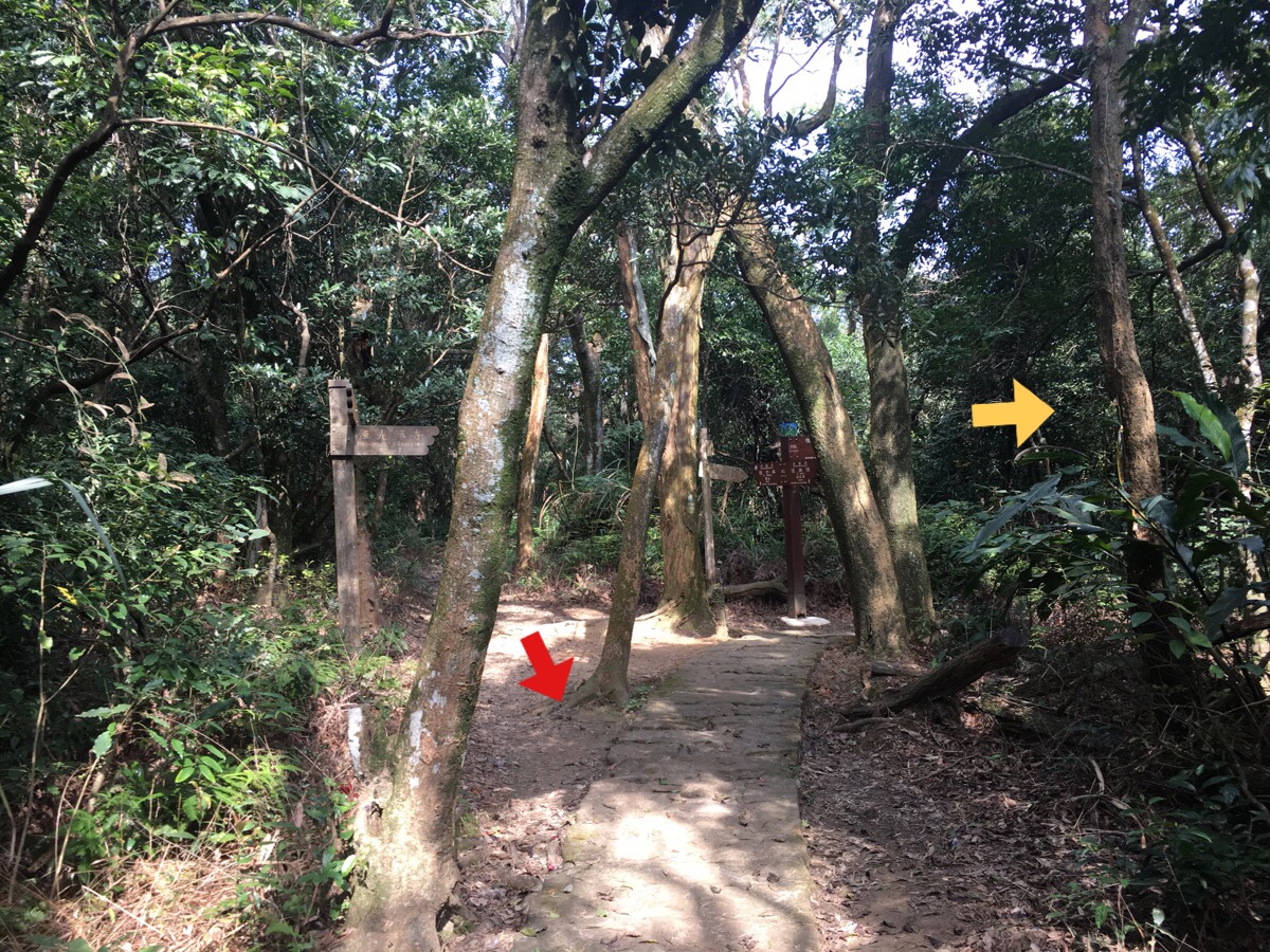
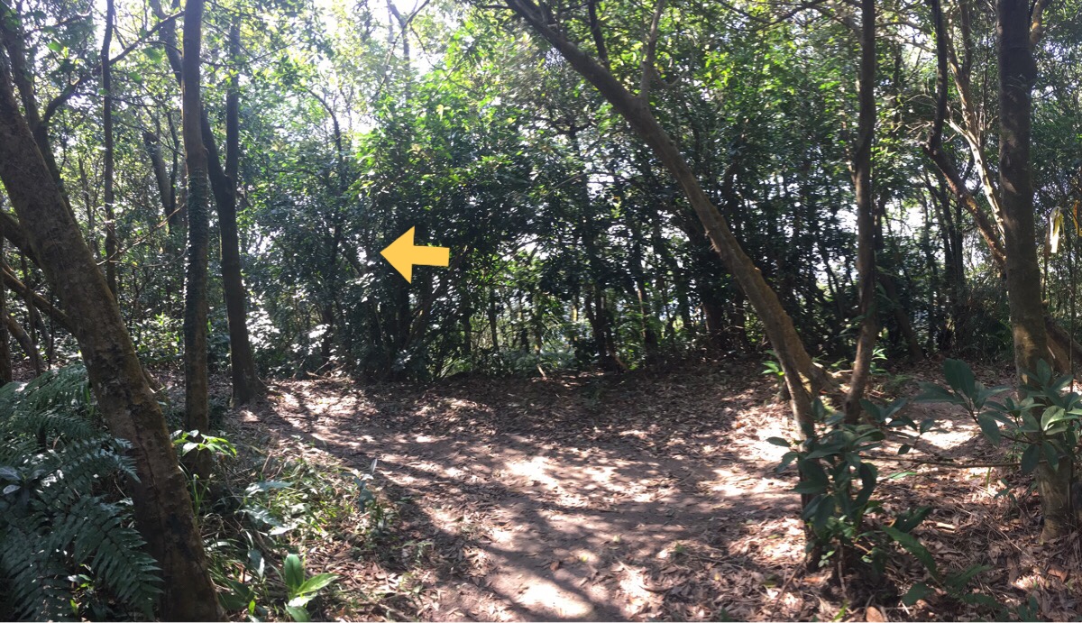
At the junction we took the path heading downhill.
If you feel like it, you can take a detour up to the observation platform of Daluntou Shan, but my sights were set on a different sidetrack, so left it was.
The next junction reached was the way we would eventually head downhill, but first we headed straight to see if we could find a small lake.
(*Red indicates the way we went when we later returned here.)
There are a couple of small paths beaten through the trees before getting to this junction, but they weren’t the ones we wanted. Instead we turned left here. (**Again red indicates the way we came back the second time we passed this junction.)
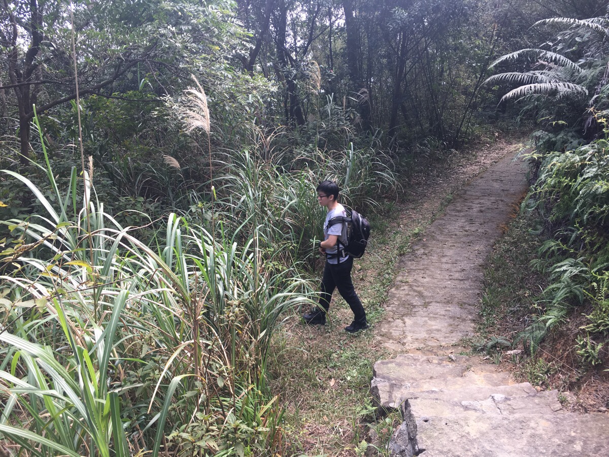
After a short way, we caught glimpses of the water through the trees to our left, then at the bottom of a flight of steps, a small and overgrown path doglegged back to the left and towards the lake.
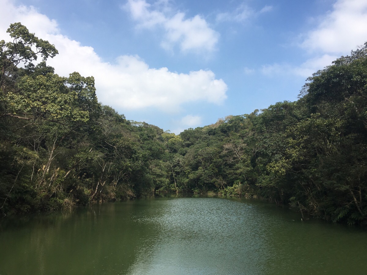
The English translation of this lake’s name is along the lines of Sweet Water Lake – something I am sure must be lost in the process of translating though, since the water doesn’t look all that sweet. At the front end, a concrete wall has been built up, and in front of that, a wooden platform. It really was quite an out-of-place feeling scenic spot, complete with an information board which stated that after 1983, the lake started to lose water until eventually between 2008-2010 the Taipei City government decided to drain the lake, fix the leak and put in a fancy new platform. The lake seems to be home to a fair number of fish, tadpoles, and (if a picture on google maps is to believed), at least one turtle.
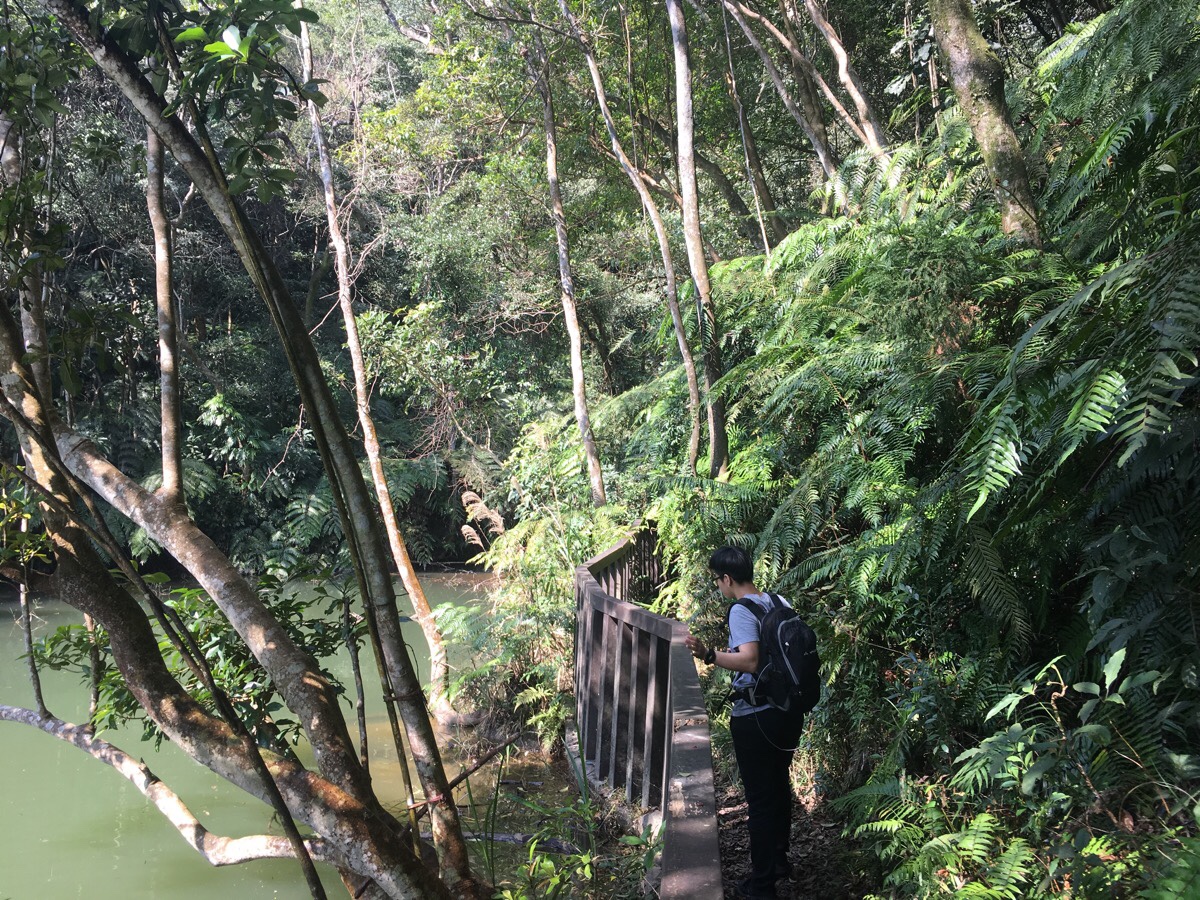
Always preferring a loop where one is possible, we decided to take the path which lead back from the opposite side of the lake. As we neared the far end of the water, a trio of Frenchmen burst forth from the trail ahead, somewhat allaying Teresa’s concerns that I was taking her into completely uncharted territory. We’d only come out for a gentle walk, so weren’t wearing particularly scramble-appropriate clothing.
A little further up, Teresa’s worries were further quashed when she found a stream to dip her towel in – something which always seems to bring her a small amount of happiness. This is the first walk in a couple of months when it’s felt rather hot and sweaty – already I am not looking forward to the summer.
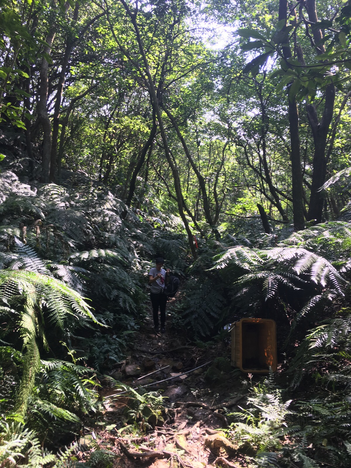
At a small junction, we veered left and up. A sign nailed to the tree indicates that it leads back towards 大崙頭山.
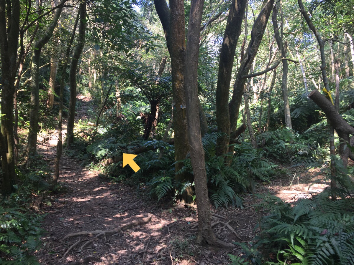
There are two small junctions in quick succession. We headed right at the first (just before this photo), then left up behind this shelter.
With that, we were back on the main ridge-line trail again and headed left back towards where we’d turned off.
**Arriving back at the junction where we had previously turned down towards the lake, this time we went straight and back the way we’d come from.
*Then we came to the top of the steps leading back down to the start of the trail and the stone house. From here it is very straight forward all the way back to the road.
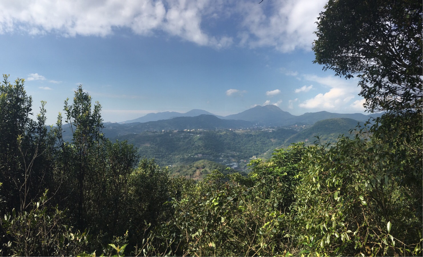
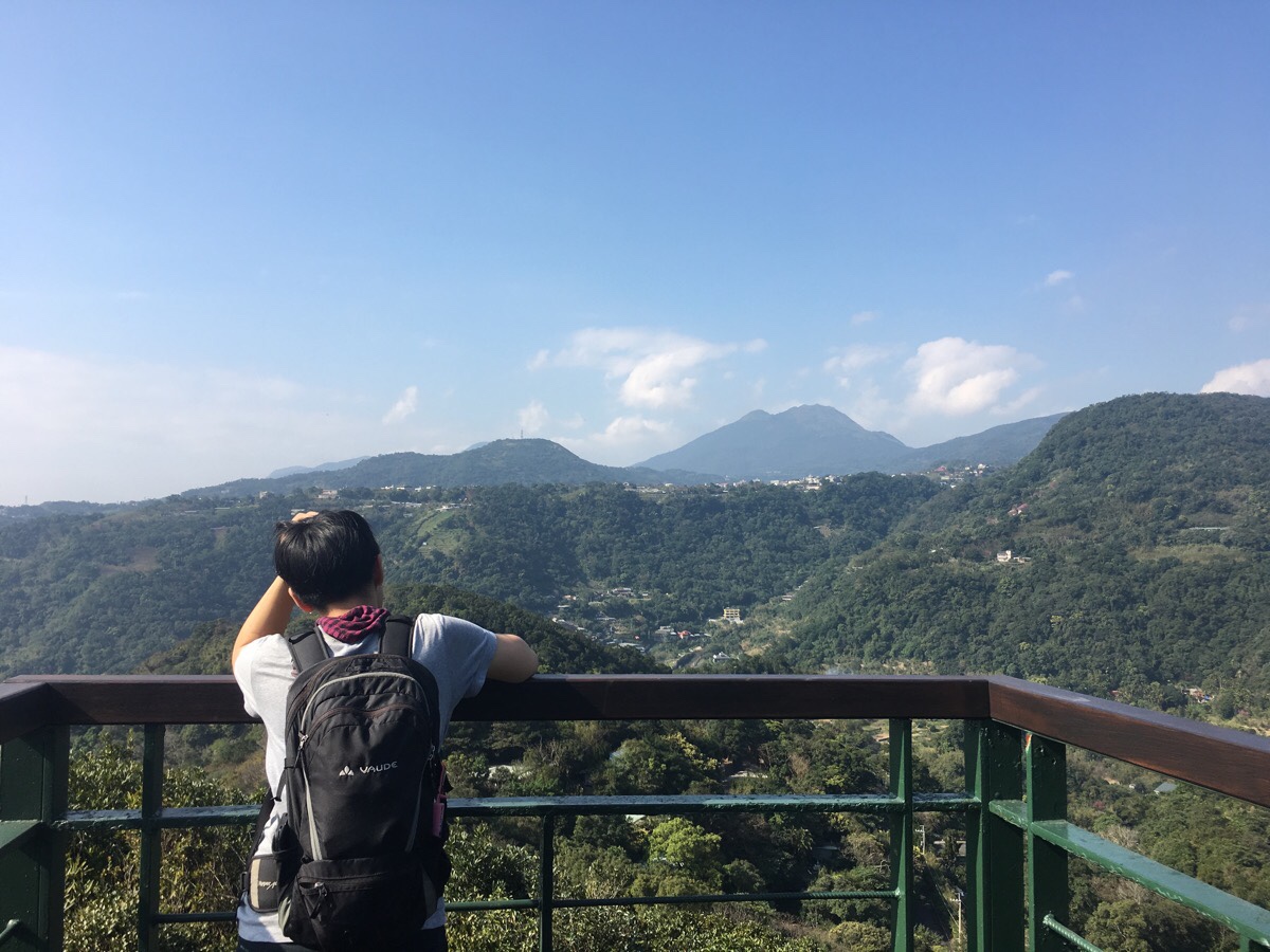
A small rest platform built just to the side of the trail offers pleasing views towards the Datun mountain range (left of centre), and Qixing Shan (the highest peak).
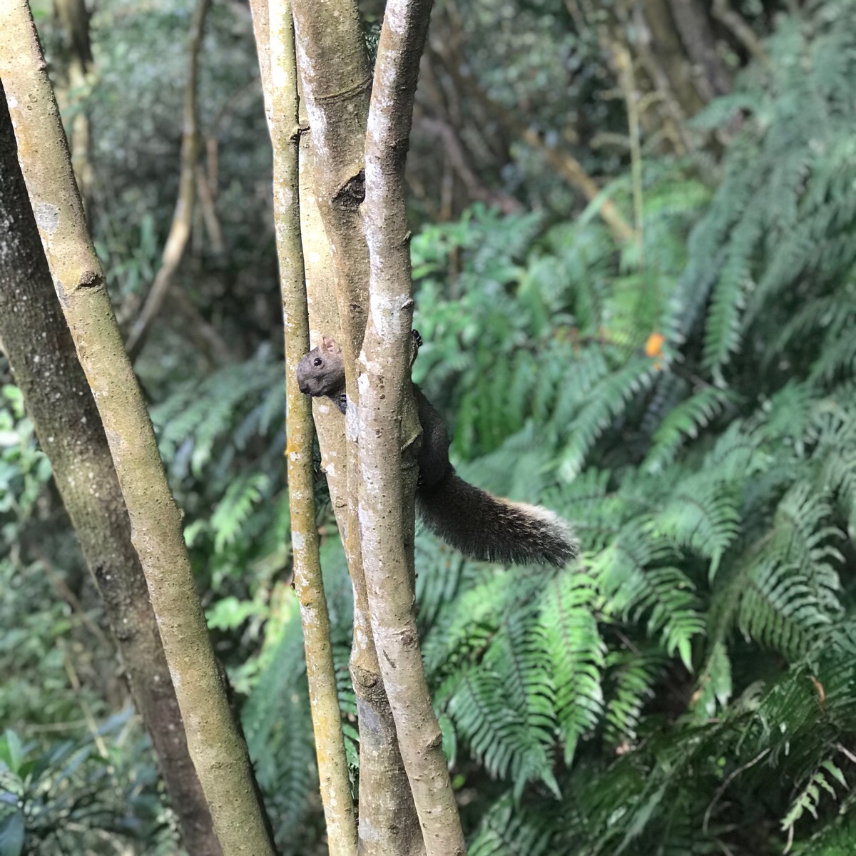
Also present around the platform was a small group of Pallas squirrels (or more descriptively, red-bellied tree squirrels). They weren’t quite brazen enough to come right up to us, but they were pretty undeterred by our presence. They are a common enough sight on the trail for their likeness to have been worked into the metal work along the railings
It was around here that I really started realising that this is a walk which needs to be done in an anti-clockwise loop. That way, you’re not huffing and puffing your way up the pretty half, and you can take your time to enjoy the surroundings. Given that this is quite a long way from being a natural trail, I felt that whoever was managing it had done a good job of building around the geographical features rather than building over them. The path had holes left to incorporate trees, it meandered to skirt around giant boulders (which had their own information boards), and dipped and fell with the terrain, always staying a little above ground level.
A short spur on the right here is signposted as leading to the ‘wind facing coppices platform’. We decided to go have a look whilst we were there.
The brief detour was rewarded with a climb up a weirdly unsupported looking platform which juts out over a low forest of sequin myrsine. The platform also has an alarming jiggle to it.
Heading down again from the platform we came to a road. The path continues over the other side and continues until it ends up back at the stone mansion. And it was this part which put a bit of a downer on my afternoon.
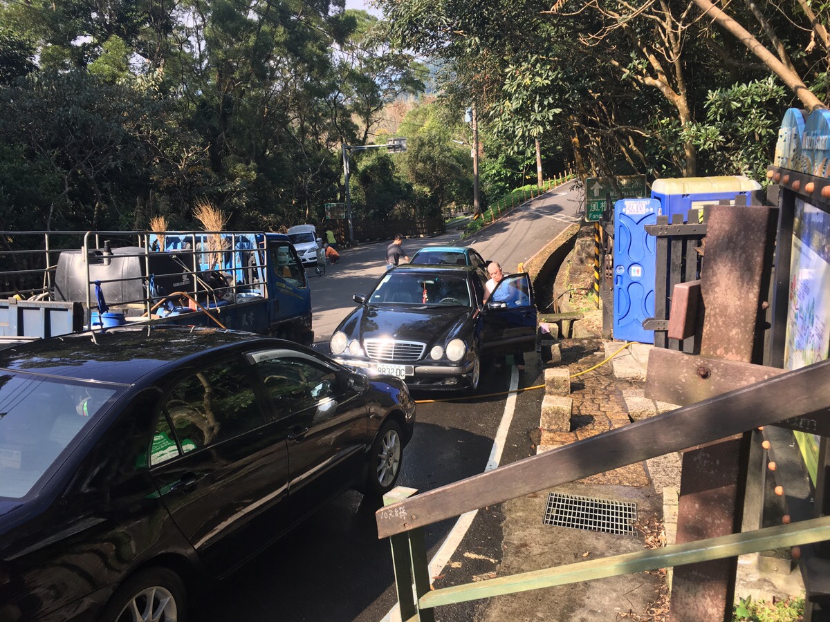
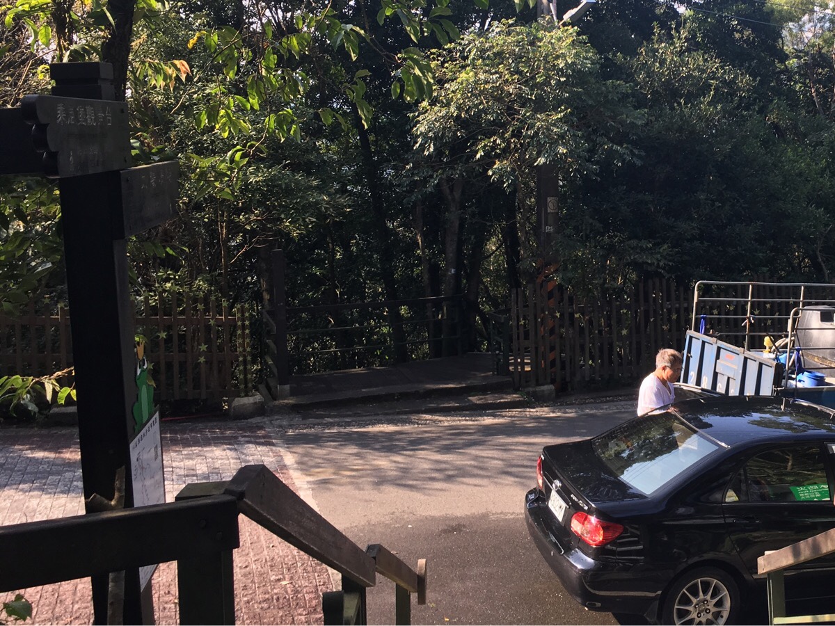
Parked up two cars deep in places were seven to eight cars all in the process of being washed with clean water from the mountain stream, and one truck which was busy filling its tank with water. The runoff from this, including soap suds, was then rinsed off back into the stream. We followed the water as it ran downhill, and the reason for the ugly sheen on the frogs’ pond became unpleasantly clear.
However, everything except this environmentally unfriendly practise was very enjoyable.
How to get to Xiao Xi Tou Trail
Google maps address: No. 136, Lane 150, Section 3, Zhishan Road, Shilin District, Taipei City 111 – there’s a free parking lot here with spaces for cars and scooters.
GPS location: we parked at N25 06.937 E121 34.636, but the path actually starts at N25 06.830 E121 34.850.
Public transport: The S18 goes from Shilin station to the main road below where the hike starts. You can walk up the footpath to the point where we started, it will probably add another 30 minutes to the walk.
Further reading: I couldn’t find any English resources, but Tony Huang has a description in Chinese of almost the same route.
Nearby trails:
- Gouyinqing Old Trail
- Kaiyan Shan and Dragon Boat Rock
- Pingding Canal Trail
- Taipei Grand Hike – Section 5
Xiao Xi Tou Shan Trail Map
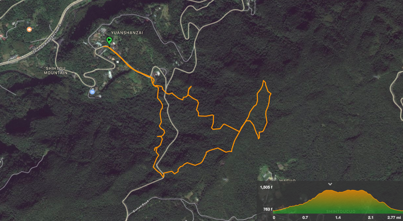
GPX file available here on Outdoor Active. (Account needed, but the free one works just fine.)
My new words learnt on this hike:
- 暴力 / bàolì / violent, violence
- 偷懶 / tōulǎn / be lazy

A picturesque setting. From your photo the lake looks beautiful.
LikeLiked by 1 person
It was a real treat and a surprise to find it there. In a way, this was the best kind of walk, we set out with no expectations and it gave us lots to enjoy.
LikeLiked by 1 person
I find that too — when you have no expectations it’s always a surprise
LikeLiked by 1 person