
Tucked away behind the National Palace Museum you’ll find the unassuming entrance to this trail. If you’ve eaten your fill of museum exhibits and choose to follow the old stone steps up the hill, then you will come face to face with one aspect of life in old Taiwan which is still very much alive. The historic waterways in this area have been supplying water to the farms here for generations, and what could be more soothing than walking alongside flowing water.
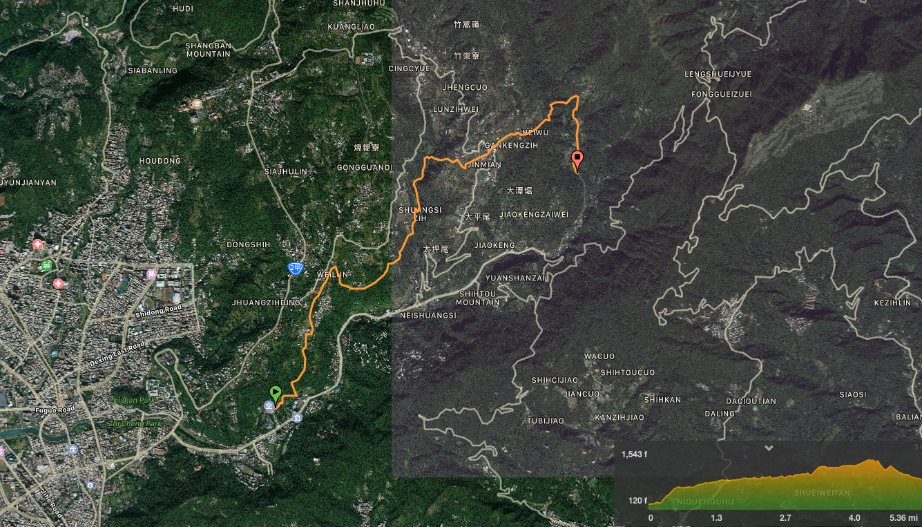
Distance: 8.6km – This can be shortened by a couple of kilometres if you catch a bus back from Pingding village instead of continuing along the Pingding Canal Trail portion.
Time: About 4 hours, again that could be cut short by finishing earlier, or could be increased by taking more time to enjoy the water.
Difficulty (regular Taiwan hiker): 2/10 – Apart from the three sections where there is a reasonable climb, this is a pretty gentle stroll along flat, well-surfaced paths. At nearly nine kilometres, it’s longer than a lot of the easier walks around Taipei, but walking next to water is refreshing enough to prevent it from becoming tiring. Navigation-wise, you need to have an idea of where you’re going until you arrive at the canal section, since it isn’t signposted at all from the direction we came at it.
Difficulty (new hiker): 5/10 – There are four sections which have a reasonable climb, (just after the start, just before arriving at Pingding village, from Pingding village to the next canal, and from Neiliao Stream to the junction beyond), you might find these steps tiring if you haven’t done much cardio work recently, but the comfortable environment should help with that. Additionally, you would be better off downloading the GPS file so that you can find your way – since there aren’t really any signs until you’ve almost arrived at Pingding, (having said that, it’s pretty easy to follow the water once you’ve found it). Alternatively, you could start from Pingding Village and walk back down to the National Palace Museum, that would be easier.
Total ascent: 680m to a high point of 470m.
Water: I didn’t drink enough on this walk, maybe less than 700ml, but I think that was because of all the running water alongside us.
Shade: Pretty shady for the most part, but I would have needed protection from the sun if I’d gone in spring or summer.
Mobile network: More or less OK throughout as far as I remember.
Enjoyment: I love walks that follow water, they are extremely relaxing, and can take the heat away even in the summer.
Seasonal: Visit between December and January to enjoy cherry blossom in Pingding Village.
Other: There is a convenience store in Pingding village, but nothing before that for quite some way, so it would probably be best to take some snacks. Likewise, the toilet block just as you leave the National Palace Museum is the last one that you’ll be seeing until you arrive in Pingding, (and the trail is a bit too exposed to just do your business anywhere).
Jump to the bottom of this post for a trail map, GPX file, and transportation information.

I have been looking for hiking routes around Taipei for nearly three years now. I’ve gone through phases of thinking I’ve already found all the ones I want to do, but so far I have always been proved wrong. A case in point is this walk. I’d never even noticed it on maps before, or if I had, I’d dismissed it for being little more than a series of pedestrian shortcuts between village lanes. How wrong I was to dismiss it!
The bus dropped us off right outside the National Palace Museum, and we quickly walked back up the entrance drive that it had come in on. I’m not sure you’re meant to walk here, since there are no pavements and the buses swing around the curve without giving much space, but it’s only 100m, so just be careful.
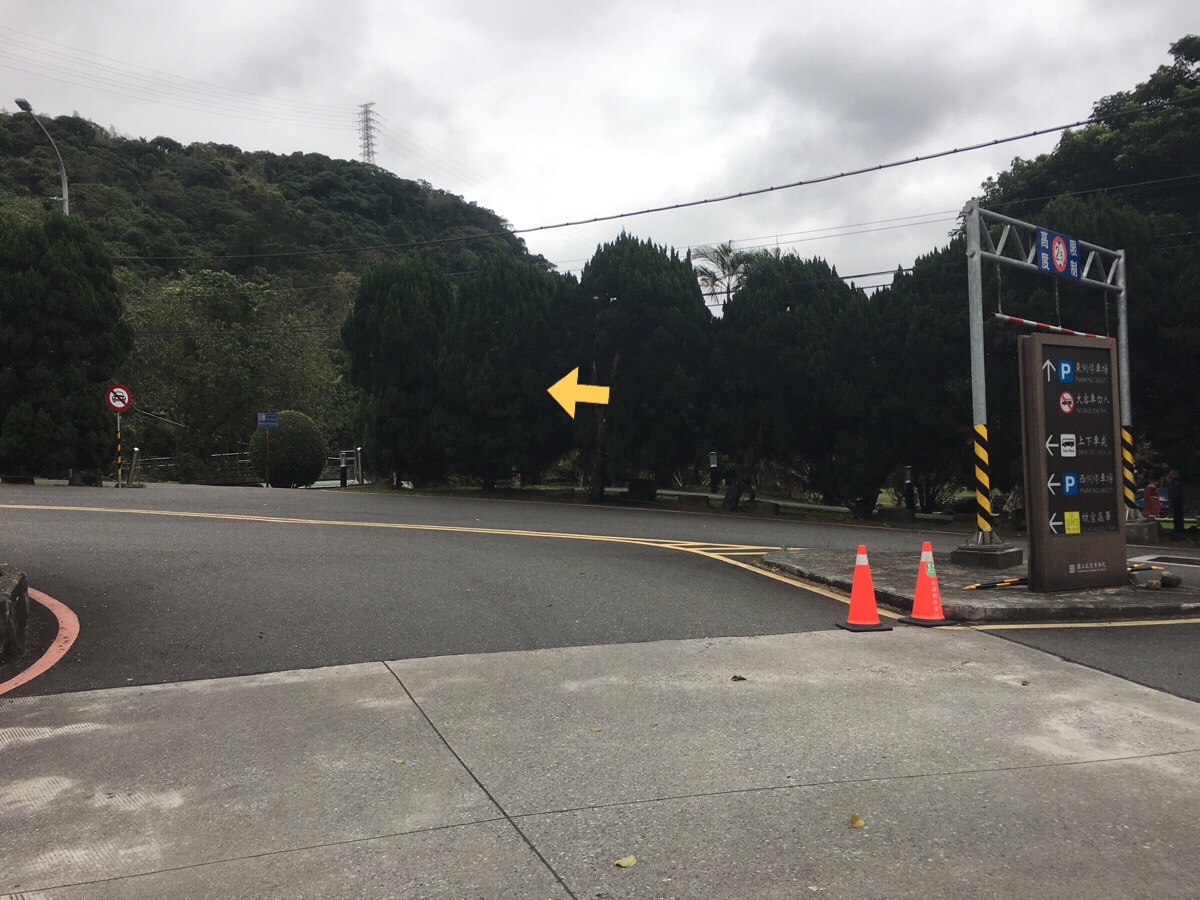
Crossing the road and cutting into the park, head north with the river on your right until…
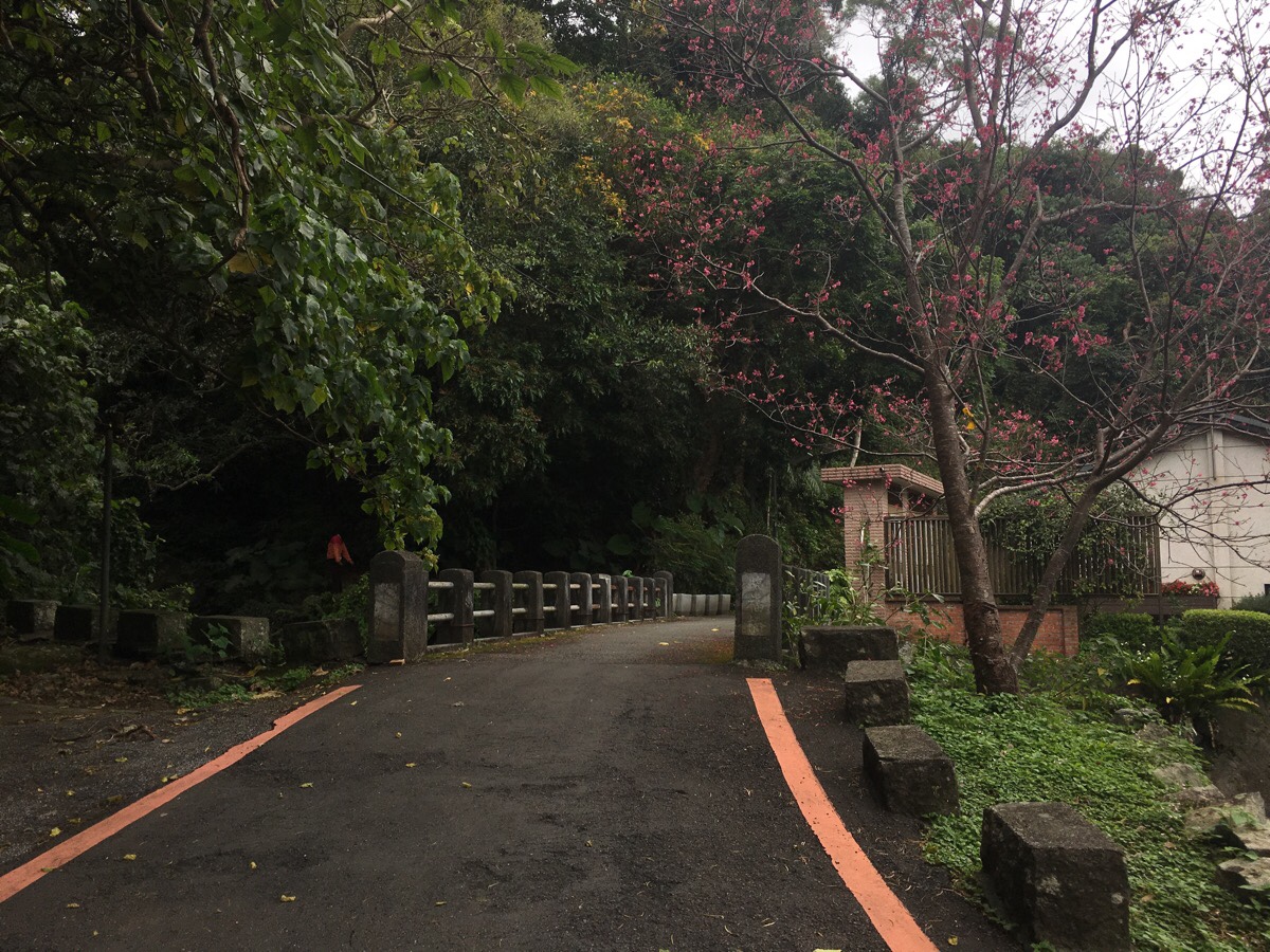
…you arrive at a bridge which you need to cross over. The road narrows here to become a small footpath running behind some buildings.
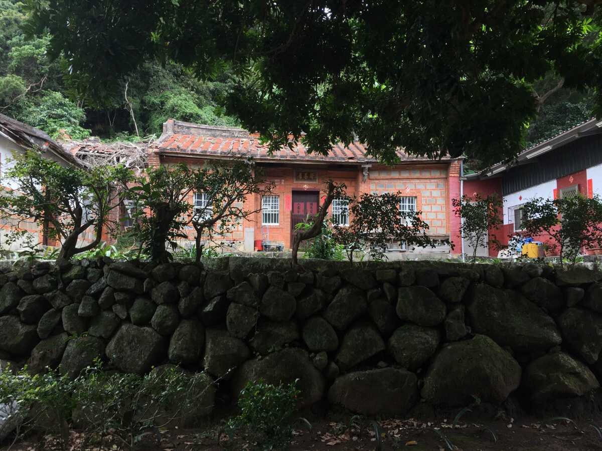
As the path enters some farmland, one of the buildings you’ll pass is thos still-lived-in sanheyuan.
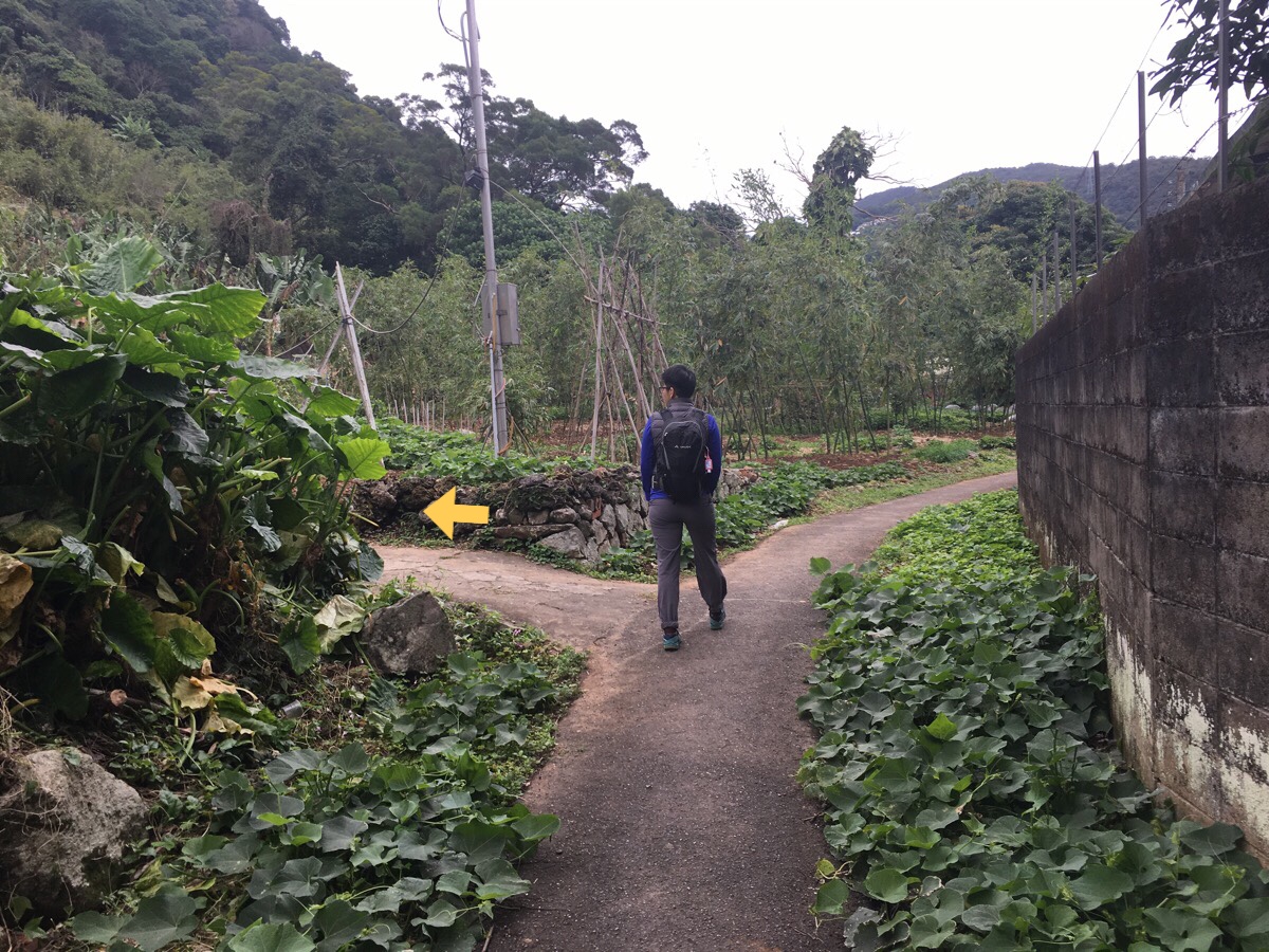
Just a few steps further and you’ll notice this unsignposted path heading left. It appears to be heading into private farmland, and if I hadn’t got a map suggesting that we should find a path here, I would never have thought to come this way. Another old house sits to the right of the path, a cat guarding the entrance with feline haughtiness.
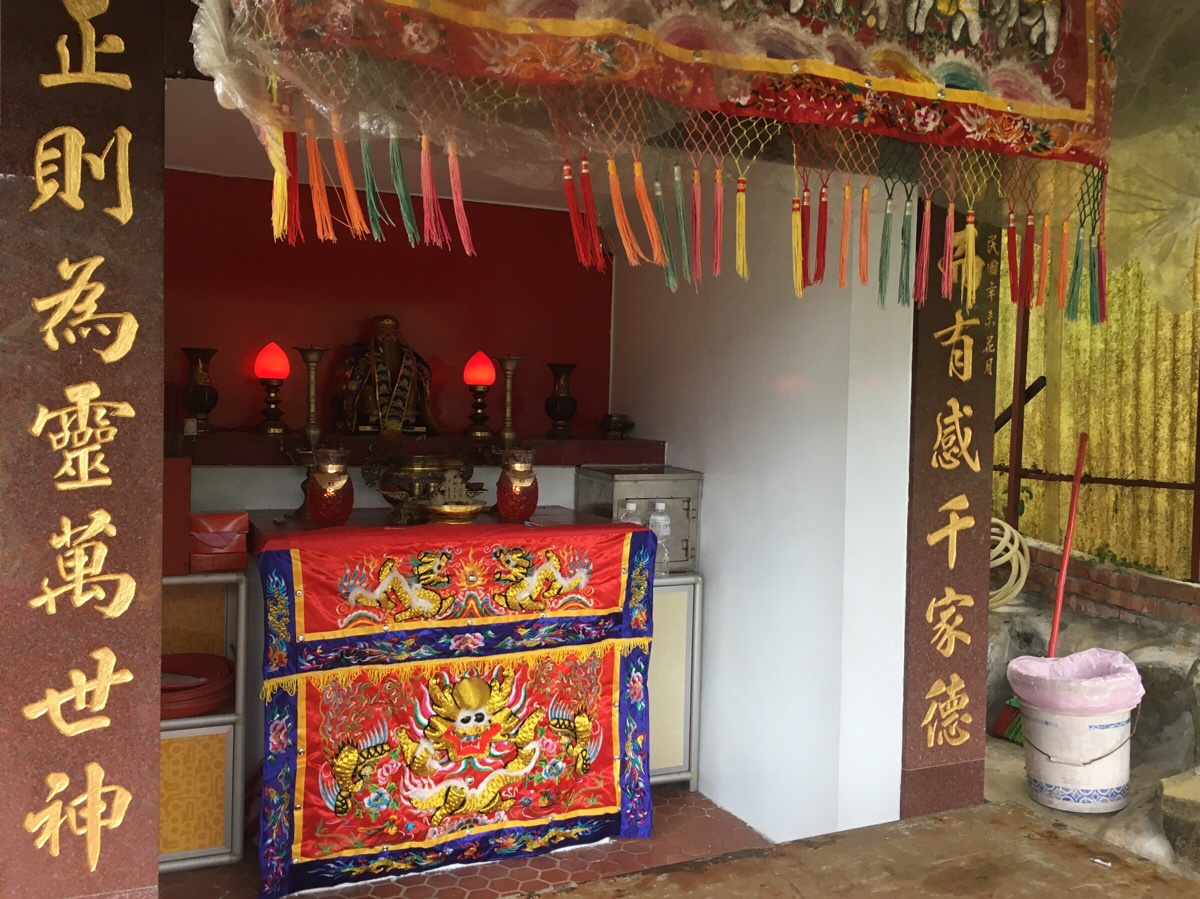
Just beyond the house and in the middle of some farmland sits a Tudi Gong temple. It looks to have been built (or more likely rebuilt) recently. The path passes right through the sheltered front area of the temple and then disappears into the trees beyond.
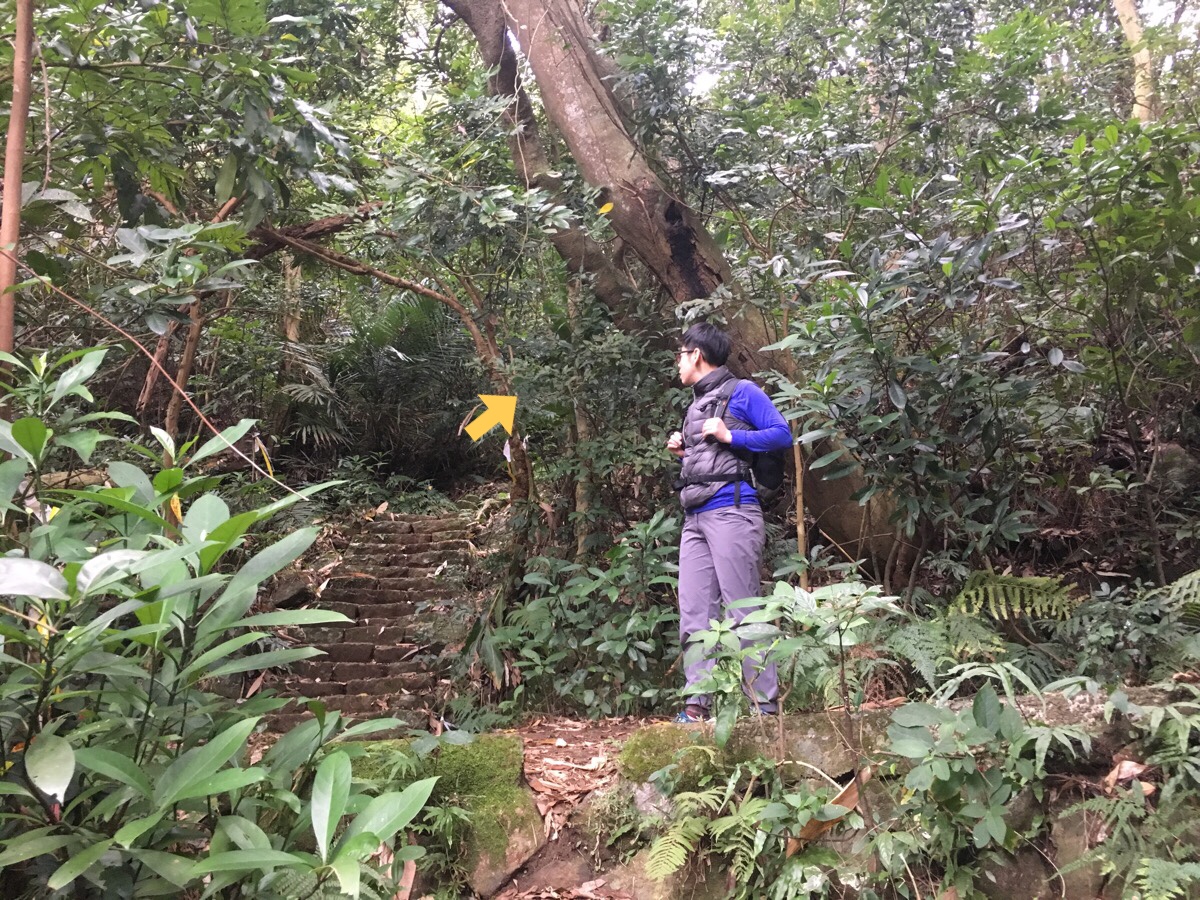
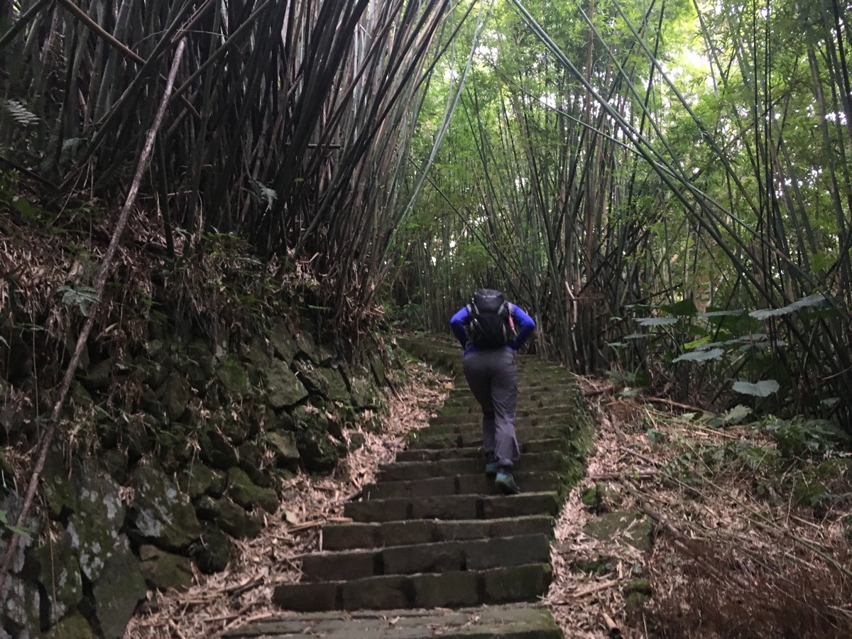
The start of the walk is the toughest 10 minutes of the whole trip, (surface-wise anyway, some of the steps later were tough after having gone so far already), the path is made of stones and there was a big log which had called down around knee height – right at the kind of point where you were likely to walk into it. Teresa did exactly that and woke up the next day decorated with a huge bruise.
After about 10 minutes of walking, the trail arrives at a junction. We headed up and across, then followed the steps as the led up through creaking bamboo.
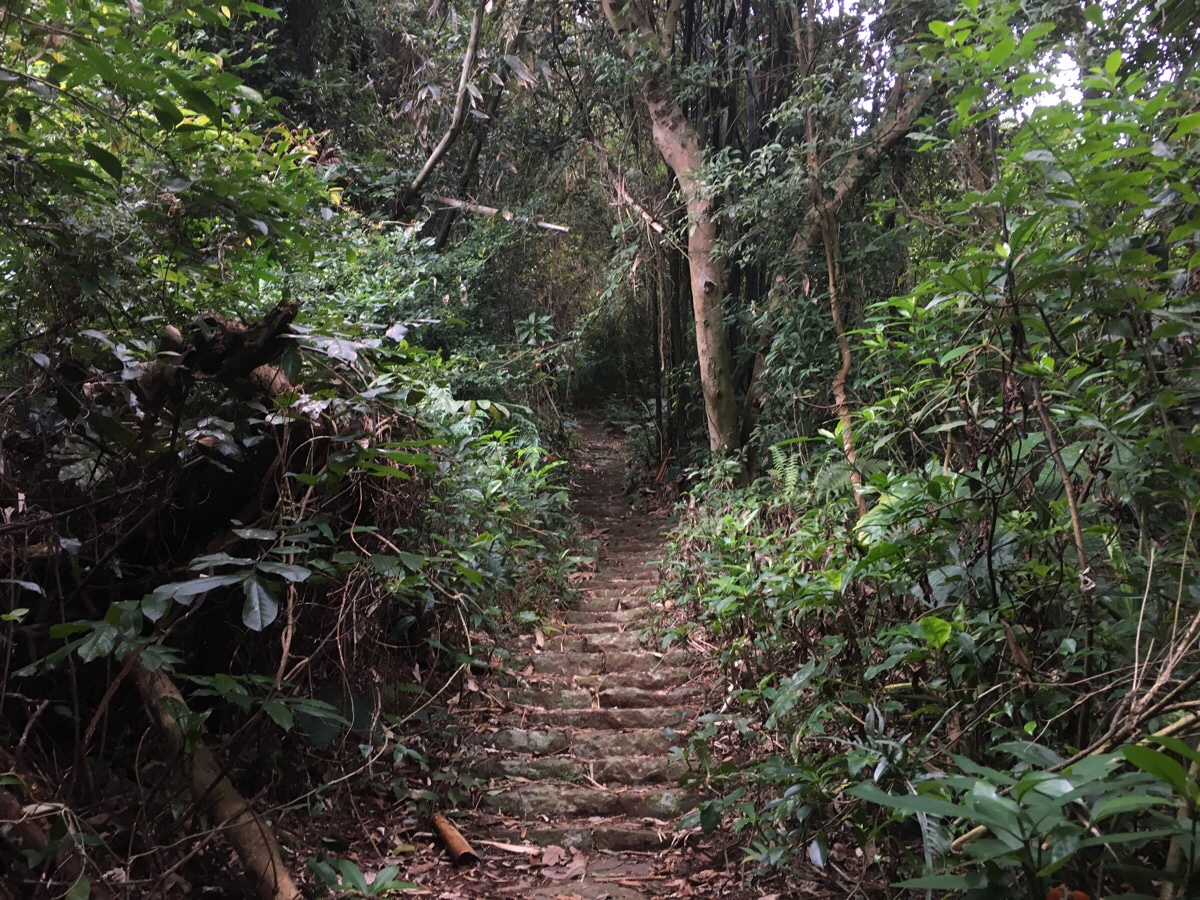
Considering how surrounded by city and people this is, it was amazing how comparatively unwalked it appeared. There was quite a lot of debris on the path, and few signs that it is a popular spot. I suppose there must be other more popular ways up to the start of the canal trail.
I suspect this portion of the path would have been a lot busier in days gone by. If you look to the sides of the trail, you will see the remains of sturdily built walls staged evenly up the hill – as if it had previously been landscaped in order to allow for parcels of flat land that can be farmed. Right near the top, there is on area which looks marginally clearer, as if the bamboo there is harvested, but besides that, nature has reclaimed the land.
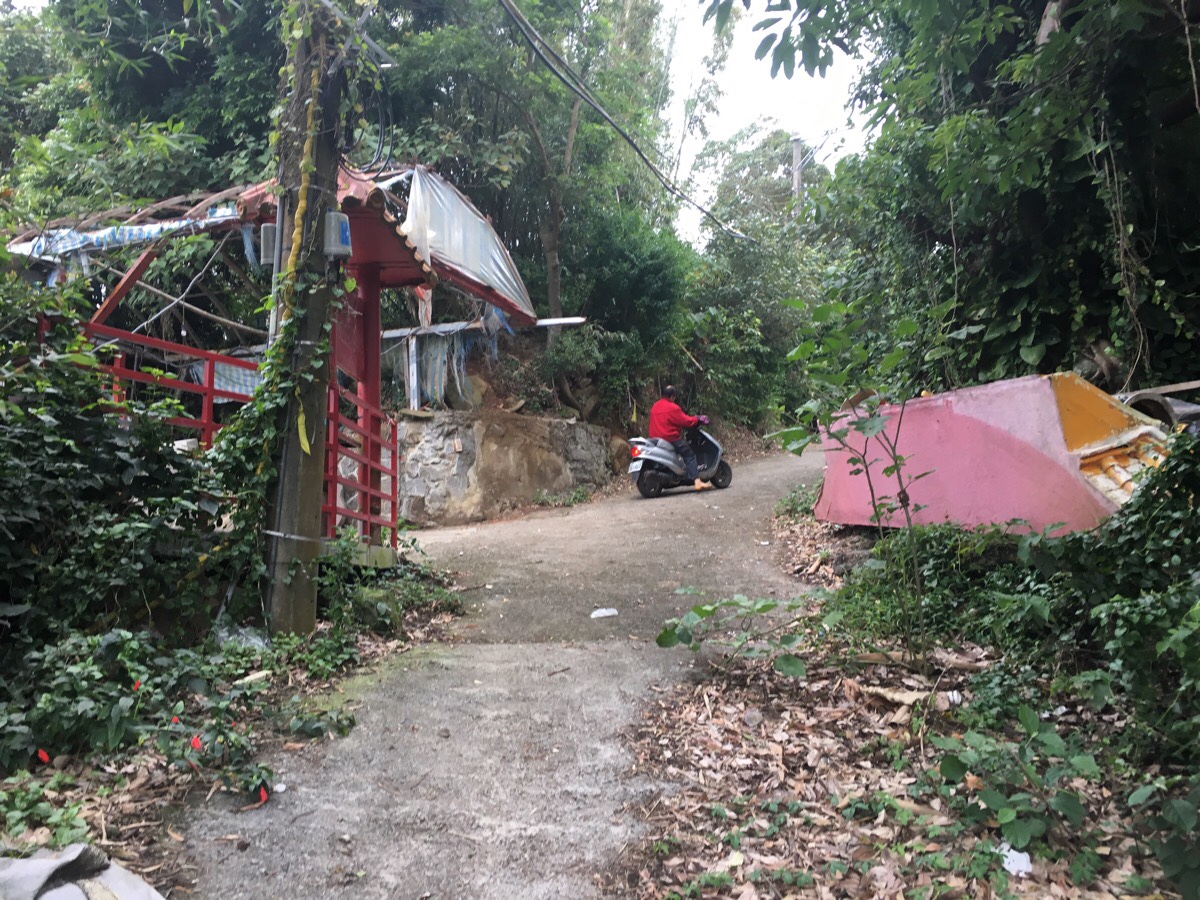
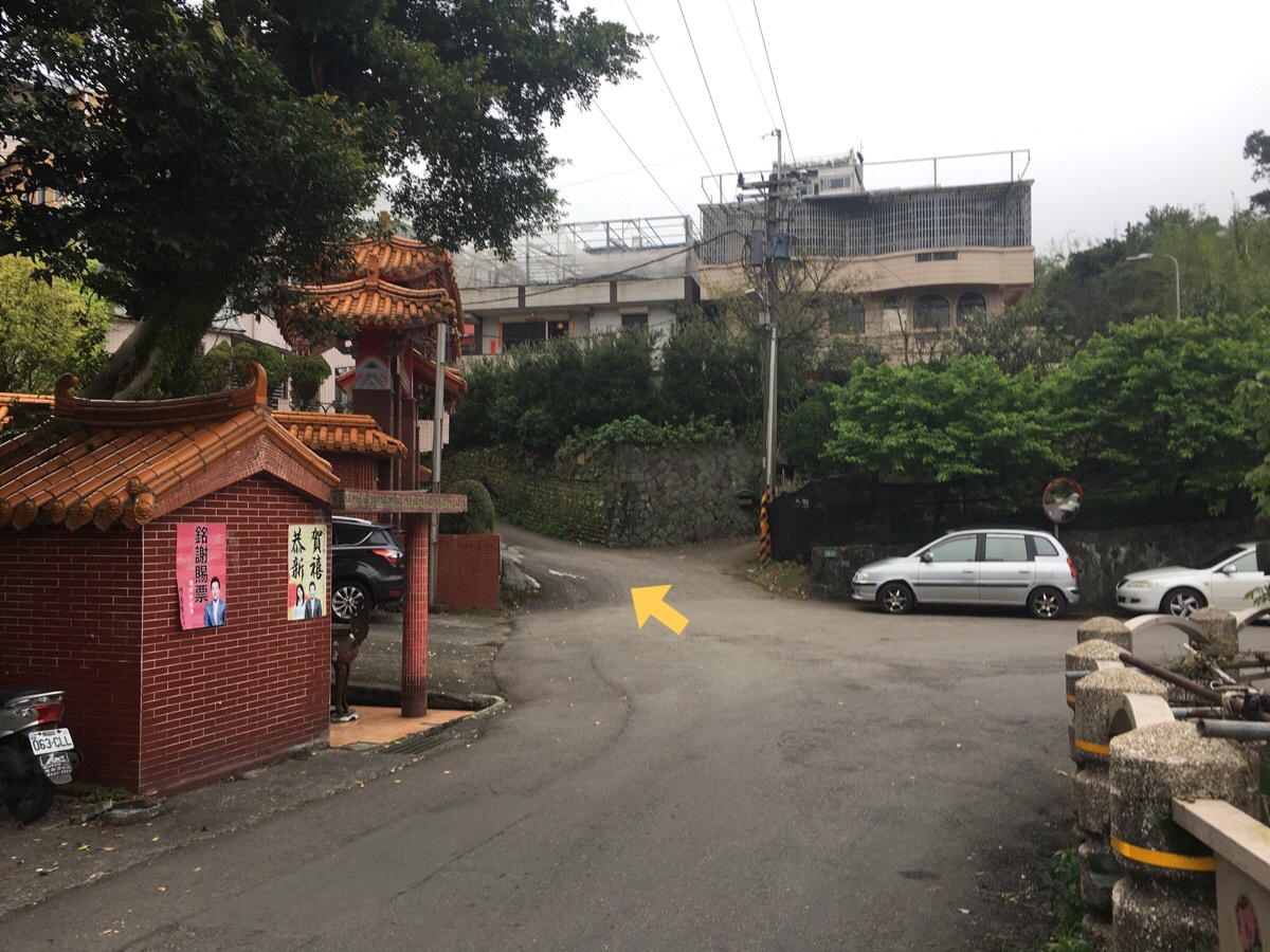
The steps let out onto an agricultural road, right seems to disappear into more bamboo, but turning left will take you past this (possibly) temple. A dog barked at us, and then woman came out on her scooter just as we were about to walk up. She shouted at the dog to go away and it slunk off into the bushes. After we’d passed the gate, it came out again and resumed diligently performed its guard dog duties with its friend by glaring at us from a distance.
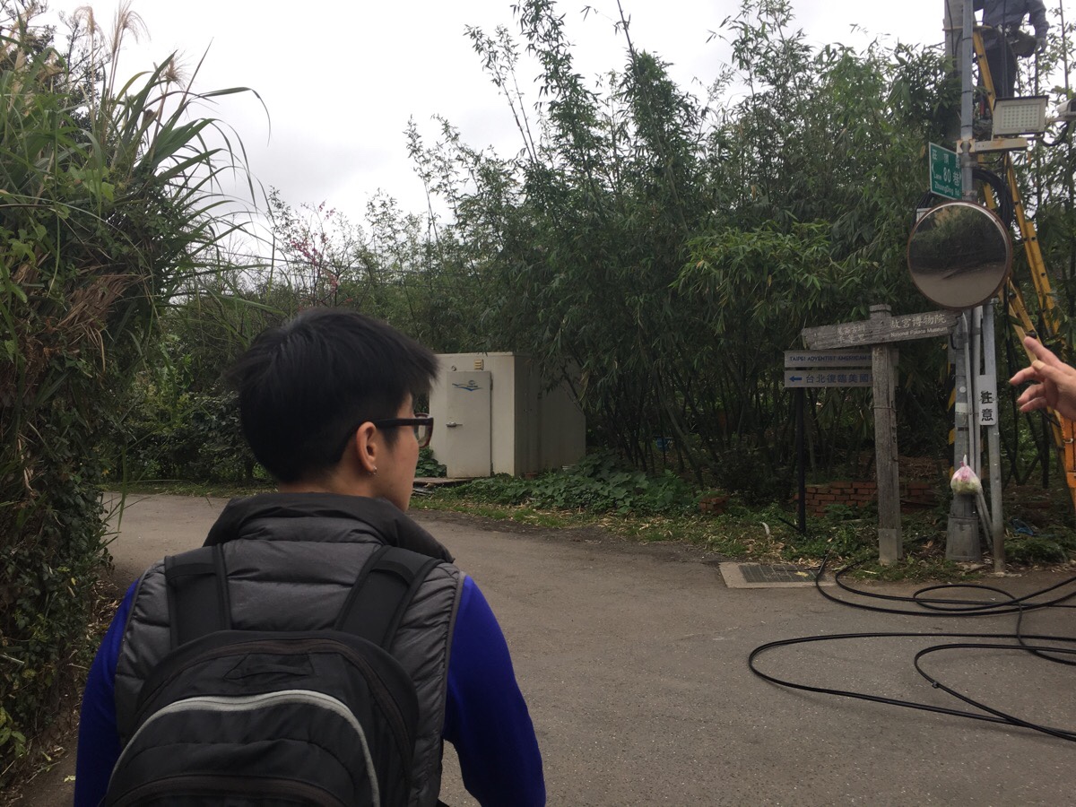
After about five minutes of walking down the road we arrived at a junction where we were directed by a local aunty to take the (kind of) straight-over path heading towards the Taipei Adventist American School. She also decided that she needed to confirm Teresa’s gender before sending us on our way.
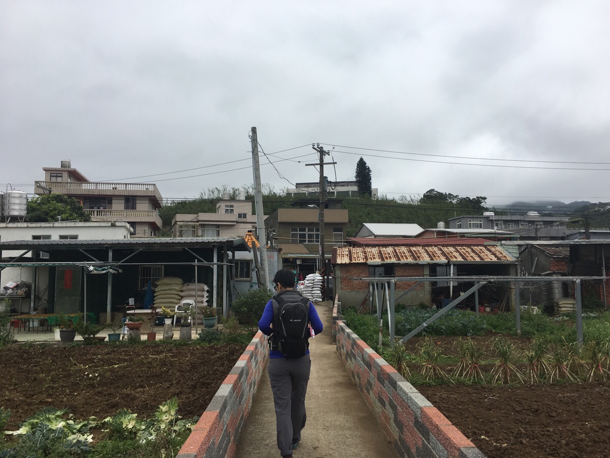
Passing the school on the right, the road ends and becomes a path running between patches of farmland. The view to the right looked particularly charming with the the clouds hanging low over the hills beyond.
When the path hits the road, head right.
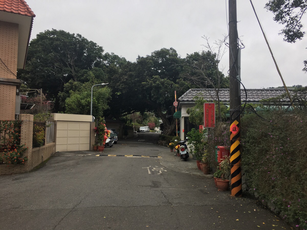
The road curves to the left and arrives at the entrance of a gated community called Pine Village. The security guard nodded and smiled at us as we passed his booth.
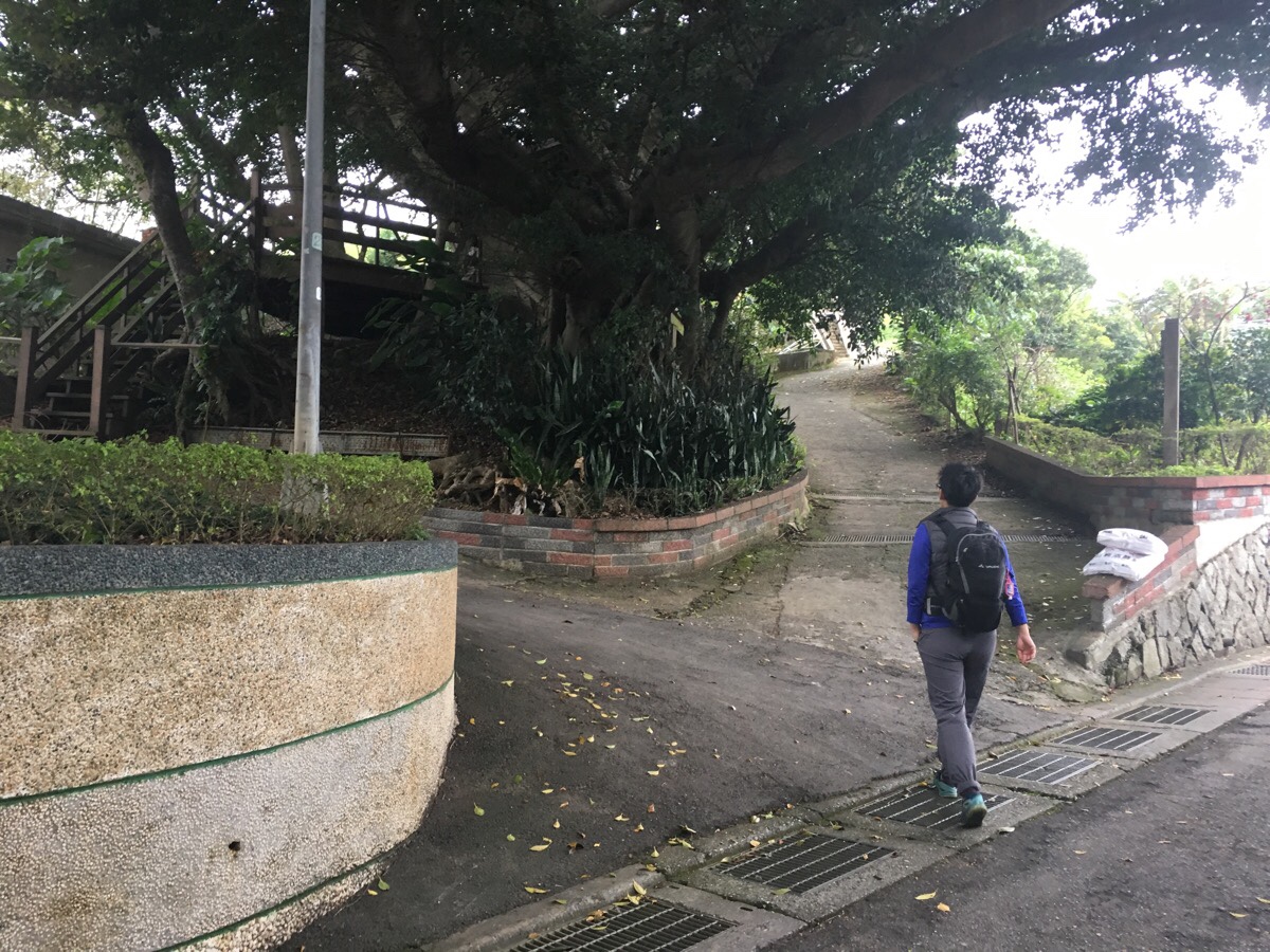
Almost immediately after entering, the sound of running water beckons from the left. Either the road here or the wooden steps will take you up to the canal that the path follows for the next couple of kilometres.

The first time you encounter the water, it is rather heavily infringed upon by pipes. There is an impressive array of MacGyvered tubes and spouts and metal sheeting (hammered down to protect the concrete in places where it would otherwise be quickly eaten away by the water). Also, the road runs up parallel to the walkway I was on when I took the photo – you really don’t need to be up here, but I am still quite childish in that when I see a raised path next to some water, then that is the path I will take.
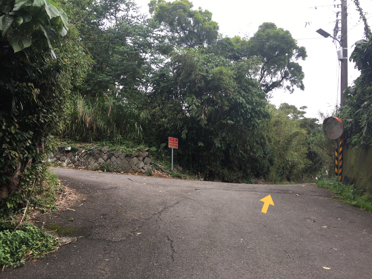
After a very short way, the water disappears under the road, but you can still hear it gurgling through the storm drains. Keep following the water and road straight. The red sign is a warning to stay off private property, but it is referring to the land on the slope behind.
The water resurfaces and the road becomes something more akin to a track which edges between a small village’s worth of houses and farmland. One interesting feature along this little stretch are the several sunken troughs set in along the side of the road on the water side. They look as if they may have been fashioned to provide somewhere to sit, closer to the water if you need to use it for washing. Regardless of whether or not that is what they are really intended for, thinking about it provokes Teresa into remembering her grandmother once telling her about how she used to carry her dad on her back while she took clothes to go and wash them.

At some point, the track became more of a path and made an upside-down ‘v’ on the map as it curved around the side of the valley. It seemed like we were getting away from the houses, but looking at the route on a map later, the trail is never far from dwellings—that’s just an illusion created by the surrounding trees.
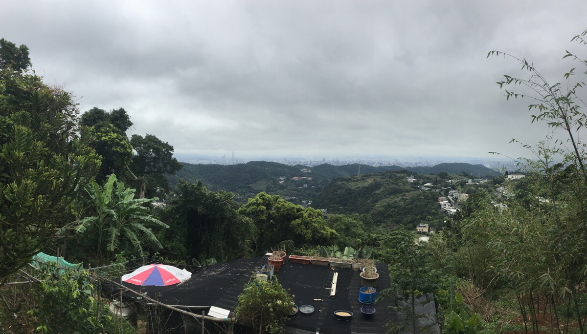
A couple of spots along the walk give you views out over Taipei, but the overcast weather hid the mountaintops over the other side of the valley.
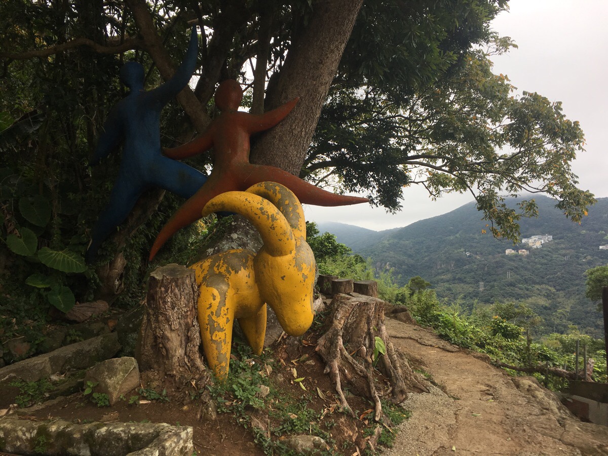
About an hour into the walk, we arrived at this area with a couple of benches, a good view and an inexplicable fibreglass goat wedged between a tree root and a rock as well as two fibreglass people shapes pinned to the tree. There were also quite a lot of other walkers taking a rest here. Two women were sat on a bench next to the stone water tank chatting, they looked like they’d arrived there a long time previously, and they were still there when we left. An ‘accompanied’ aunty hiking group (four women with one guy) were busy arranging themselves for a photo with the goat -“腳腳起來”, “stick your foot out”, ordered the guy and all four women balanced on one foot whilst giving the peace sign. After they’d managed to get a photo that most of them were happy with, they set off on their way, the uncle was so busy organising his troop that he forgot his own walking stick and had to run back for it. A solo male hiker walked straight past and another couple, the woman stylishly dressed in a hiking skirt, came and stopped next to us. Strangely, these were the only other walkers that we’d seen so far, and all congregated around here. I’m pretty sure we didn’t see any afterwards either, at least not until we’d arrived at the point where the canal tunnels through the hill.

As the path hugs tight to the curves of the hill, there are a couple of paths leading up to the left – several of which are marked as private/impassable due to damaged paths. This one, however is not impassable. This one will take you up to Gong Guan village’s Guandi Temple. We didn’t bother going up to check it out and instead kept on walking.
The path unfolding in front of you as you walk is really very pretty. I kept stopping because I wanted to enjoy how the sinuous curves of the water and the trail wound together as well as the many beautiful textures and colours of the plants around us. All the walls running along the back edge of the canal are either natural or made of fitted-together rocks, both of which have their own special textures. The natural surfaces are all covered in moss and lichen, with brown-yellow roots billowing just on or below the surface of the water. And the rock sections are decorated with vibrant green ferns which poke through the cracks with artful randomness in their spacing and sizes.
I cannot emphasise just how much I enjoy these canal walks. They really are very satisfying.
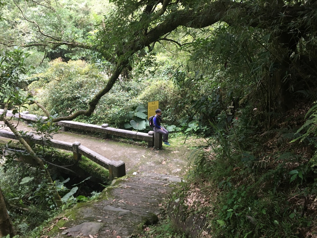
About two hours after we started walking, we arrived at Gongping Bridge. Just before the bridge, (near where I was standing to take this photo), sits a stone Tudi Gong shrine – a common sight on these old trails. And if you look closely to the left of the bridge you can see that the canal disappears here into a tunnel. Actually, the canal doesn’t exist for much further, it is fed directly from Qinglan Stream (青礐溪), the stream that the bridge crosses here.
As we walked over the bridge, we heard the shouts and splashes of people playing in the water. Just the other side of the bridge there is a pavilion to rest in and a group of people had set up camp there for the day. Despite the temperature being around 18 degrees, several of the group were splashing around in the stream. If I hadn’t heard them speaking, I wouldn’t have believed that they were Taiwanese, since most of the Taiwanese people I know would think you are asking to get sick if you so much as nip to the 7-Eleven without a jacket when it is that cool, so swimming outside is like begging death to take you away right now.
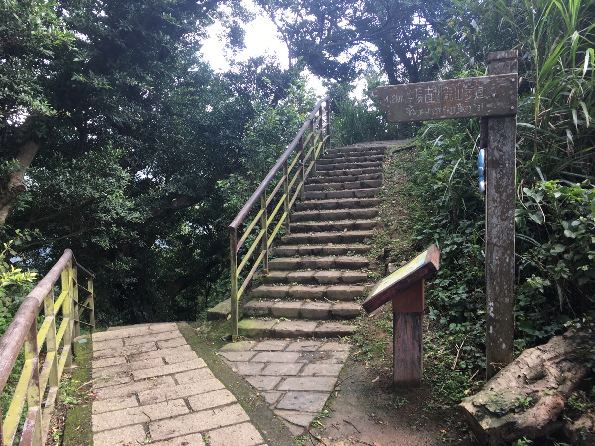
Beyond the stream crossing, the trail starts to climb up some steps, a sign at the top of the steps says this section is known as Zhulin Trail (竹林步道), although I think it might be more commonly known as Pingjing Street Zhulin Trail, since that’s what it seems to be referred to as online.
The steps are about 20 minutes of straight climbing, but we stopped at a pavilion near the top to eat our fruit. I would have liked to have had a coffee too, but we’d decided against bringing the stove.
Where the trail hits the road, we turned left on Pingjing Street, Lane 42.
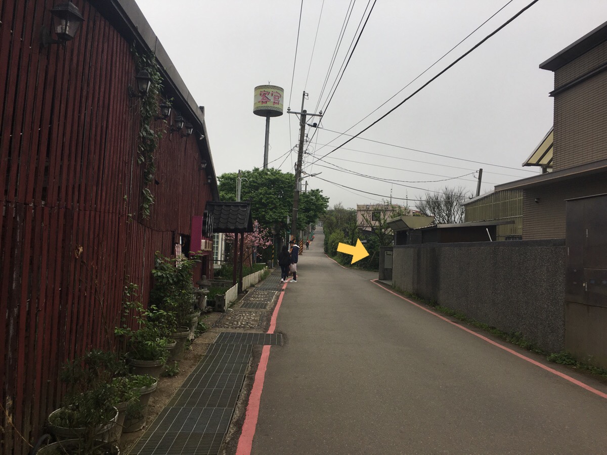
After about only 50 metres, we took the first road on the right
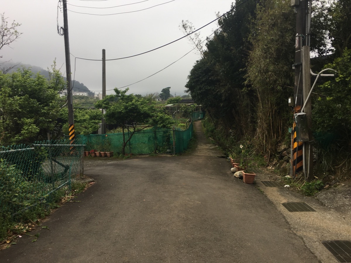
The road is very short, and soon switches to become a footpath. The sound of water running through the drain on the right will let you know you’re on the right track.
Following the footpath, after a little less than 100m, it bends left and opens out onto a view across the shallow valley. This area is a popular cherry blossom viewing destination, and since we went at the tail end of the season, there were still quite a few people wandering around looking at the trees, but I imagine it is busier in early February. From here we could hear music carrying over the dip of the valley, but at that distance it was unclear whether the music was coming from a karaoke bar or temple.
The path edges past a small Land God temple before emerging onto a road. Head left at the road, passing a larger temple where I stopped to use the toilet because all this walking along water had left me rather desperate to go. (The toilet is signposted in Chinese, it’s on the left and up the lane to the left, just after you pass the large paper burner.)
By the time we had arrived here, the music had resolved itself into something more distinguishable, neither temple nor karaoke music, but funeral chanting. To my ears, this sounds more upbeat than you would expect funeral music to be, but trees said she doesn’t have that impression.
At the end of the road there we took the straight over, but bending left road. Just out of sight of here, it becomes steps which head up between the houses.
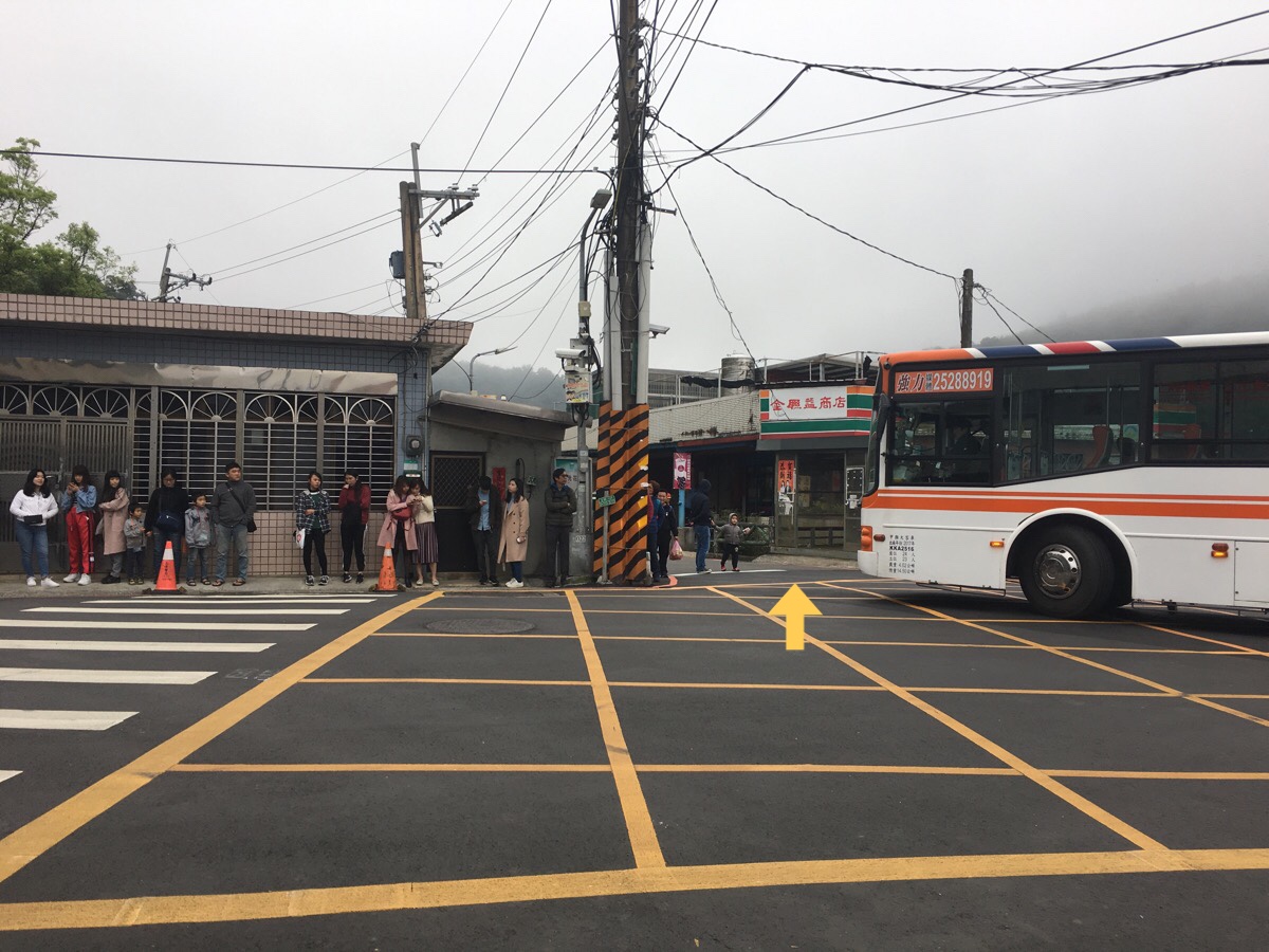
We arrived at the road (which is actually Pingjing Street, the same road we were on earlier), just as the 303 bus unloaded the next load of sakura seekers. We could have caught the bus back from here, but instead we pressed on towards the 7-Eleven knock-off convenience store.
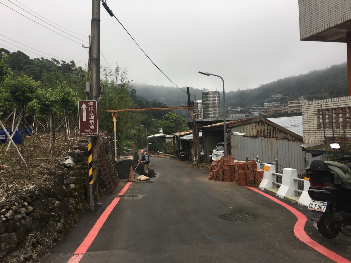
The road splits in two by the store, we took the right-hand lane, which is signposted as heading towards Pingding Canal Trail.
Keep on the lane all the way up without turning off.
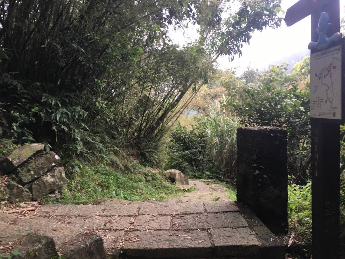
After a bit of a climb, a map and a sign indicate that you’ve arrived at the start of the Pingding Canal Trail. We were overtaken by a trio of very muscular elderly guys as we were climbing the steps up to the rest area.
At the pavilion, we went straight over and down the steps.
There is another walk crossing over here which runs up the spine of the hill from Goose Tail Mountain (鵝尾山), up past Xinzhentou Mountain (新圳頭山) and eventually arrives at Qingtiangang. One day, when we have more energy, hopefully, we can come back and try this one.

The path levels out after a brief distance and for a short way, it is accompanied by water once more. As with earlier, we were walking against the flow of the water. The channel here is Pingding Old Canal. This one was built in 1834, and as with the other waterways in the area, it was constructed in order to supply the nearby villages with water for their farms.

At the steps, turn right and head down into the valley.
The previous time I was in the area, I went left, but this time I wanted to go somewhere I hadn’t been.
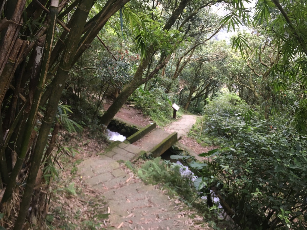
The steps head down, crossing two other manmade water channels. There is some information here which kind of explains the waterways. The first one that you cross over is Pingding New Canal, and despite the fact that it is the newer one, it is still about 170 years old now, (it was built in 1849).
Just a short way downhill you will cross over the third manmade waterway. This one is Dengfeng Canal (登峰圳), and it is quite a bit younger than the other two, (although still over a century old). It was built in 1909 during the Japanese occupation of Taiwan, and is a lot less well-known than the Pingding Canal. Both these two water courses can be walked, so I’d love to come back one day and explore the whole length of them. I reckon it would be a great summer walk.
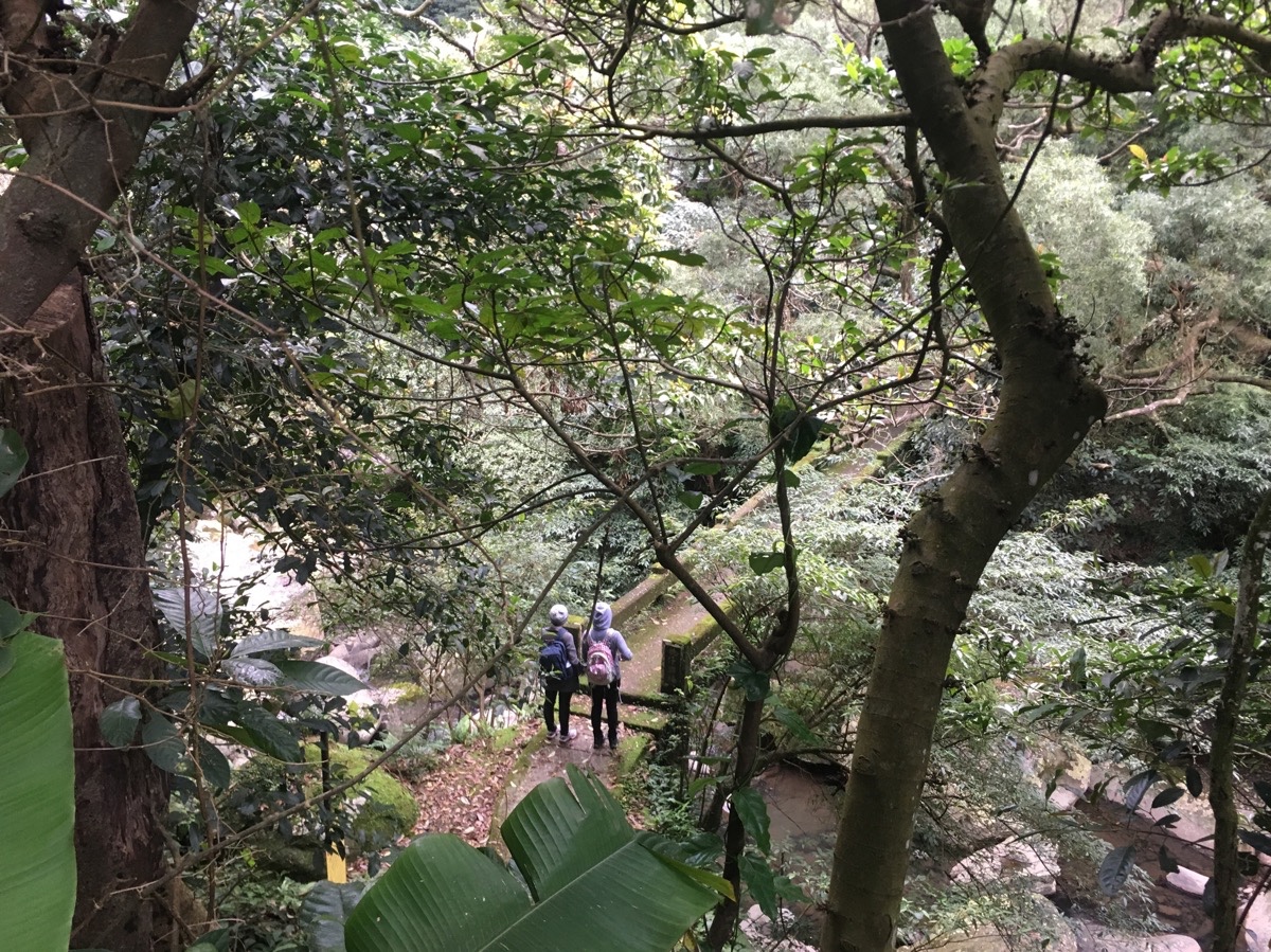
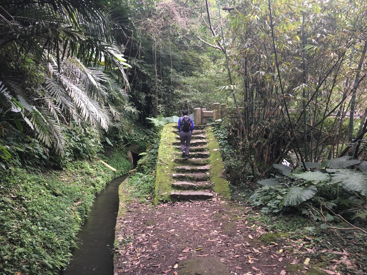
As the trail reaches its low point, there is a pavilion sat just up from a bridge across Neiliao Stream. It’s an incredibly pretty spot. There isn’t much of a view either upstream or downstream, but the atmosphere is very comfortable, water, trees, moss-covered rocks.
Beyond the bridge, the path starts to make the final climb.
After just under five minutes, the small stream that we’d been following up heads in another direction and we arrived at a junction. We took the right path heading down towards Zhishan Road, and once more found ourselves walking through a corridor of creaking bamboo.
The steps terminate at a bridge, (this is the same Neiliao Creek that the path crossed a little earlier). Here we crossed the bridge and turned left past the house once we had reached the far bank. If you have time, you can take a look at the little shrine which is immediately to the right after you cross the bridge.
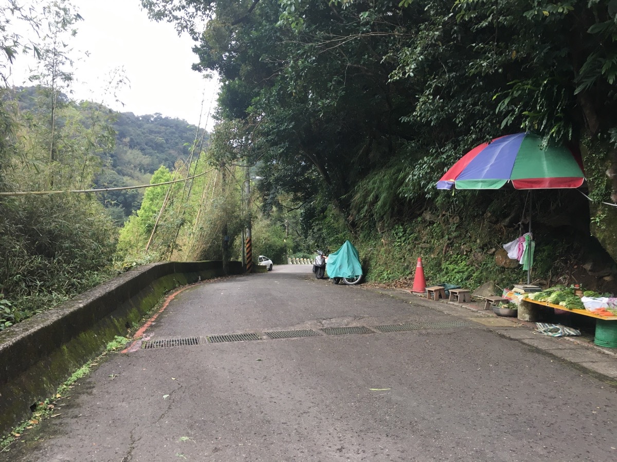
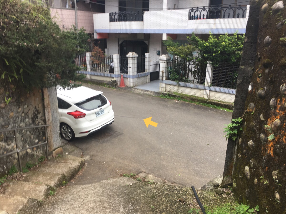
A small stone path runs along the side of the house and comes out onto a road. We went left and downhill passing an unmanned vegetable stand and a Land God Temple a little further on. At the temple, we encountered a couple of dogs, they ran out to see us but were actually very timid.
We walked down the road for a little over ten minutes until arriving at the bus stop, (just in front of the building in this picture). After that we had another ten-minute wait for the bus,
How to get there
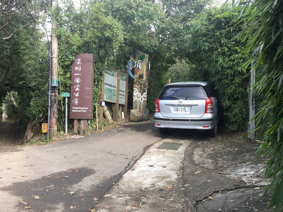
Google Maps address: the trail starts from the National Palace Museum and ends at Shengren Falls bus stop. There are parking spaces at the end bus stop, but public transportation is so convenient that it would be better to go by bus.
GPS location: the start of the trail is at N25 06.192 E121 33.013.
Public transport: there are many buses which will get you to the National Palace Museum. We took the S18 from outside Shilin MRT Station, but you could also get on the S19, 304 or 815 since they all stop at the National Palace Museum.
If you’re planning to do the shorter version, you can catch the S17 minibus (not such a regular service) from Shilin Station and get off at Zhifu Temple which is near the start of the first canal section, then stop in Pingding and can catch the bus back from here.
Further reading: the English sources are scarce for this, but if you’re after Chinese, then this group, (mostly aunties), did the same walk as far as Pingding village. And if you want a map with details (also in Chinese), this blog has one.
Nearby Trails:
- Dengfeng Canal Trail
- Eweishan Paddy Terrace
- Neishuang Creek and Xinzhentou Shan
- Pingding Canal Trail
Gouyinqing Canal Trail Map
GPX file available here on Outdoor Active. (Account needed, but the free one works just fine.)
My new words learnt on this hike:
- 綁架 / bǎngjià / kidnap – I can’t remember why now.
- 印象 / yìnxiàng / impression, as in my impression of sth is X – I think I’ve had a growing consciousness of this for a while, but without really ever having worked out what it meant.
- 火就來了 / huǒ jiù láile / suddenly got angry – (literally fire just arrived/came) – think of the Hulk.
- 意見 / yìjiàn / opinions – the phrase I first heard it in was 你可不可以沒有這麼多意見?
