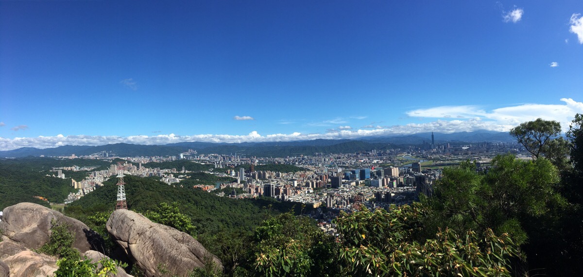
A great trail taking in one of Taipei’s most Instagrammable spots. This walk can be done in a morning or afternoon and is easy to get to from the MRT.
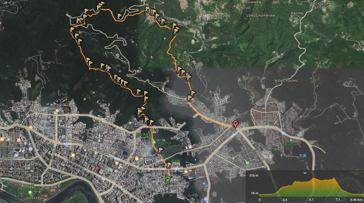
Distance: 9.5km
Time: 3 hours, (with very little stopped time)
Difficulty (regular Taiwan hiker): 3/10 – some steep scrambles, (fun, not challenging), plenty of paths branching off, so you need to know where you want to be going, and moderate distance/elevation gain.
Difficulty (new Taiwan hiker): 7/10 – if the huffing, puffing and cursing of several inappropriately attired young walkers is anything to go buy, this is quite tough for new hikers. There are roughly surfaced paths for the initial climb up to those photogenic rocks – you’ll need sturdy shoes, also it would be best to follow a map and/or go with someone who knows where they’re going since there are a lot of paths to choose from.
Total ascent: 457m to a maximum elevation of 318m.
Water: I drank about 1.5L on a hot day (34°C) – and even then I wished that I’d taken more. If you do the slightly alternate ending, (finishing at Dahu Park Station), you can get more water from the Bishanyan Kaizhang Shenwang Temple.
Shade: on and off throughout the walk. I’ve done this with both the face+neck covering hat, and an umbrella. The umbrella was a bit annoying on the climbing sections, but overall I think it’s more comfortable than the horrible hat.
Mobile network: patchy – the section where the path climbs between the zig-zagging Jinlong Rural Road has pretty much no signal, as do parts of the trail from Jinlong Rural Road to Zhongyong Shan.
Enjoyment: It’s a great walk, easily accessible from the city and long enough to be a good leg-stretch. It’s even better if you walk down past the waterfall.
Jump to the bottom of this post for a trail map, GPX file, and transportation information.
Summer is a tough time for the teachers on this island. Extra classes. Hot rooms filled with kids who would rather be anywhere but a classroom. A staffroom full of over-tired colleagues. My daylight hours are mostly spent in air-conditioned boxes – which may or may not have windows, and in which the AC is invariably struggling to cope with the exertion – so any reasonable amount of free time that can be spent outdoors is precious. And all the recent threatened storms have meant that almost every Sunday has had unstable weather.
So when I was able to get off work around 1pm on a weekday with perfect blue skies, I decided that I had to get out and away from it all. I decided to do a walk near my house, and started with a trail that I had walked before (in the opposite direction) up to the ever-popular Jinmian Shan.
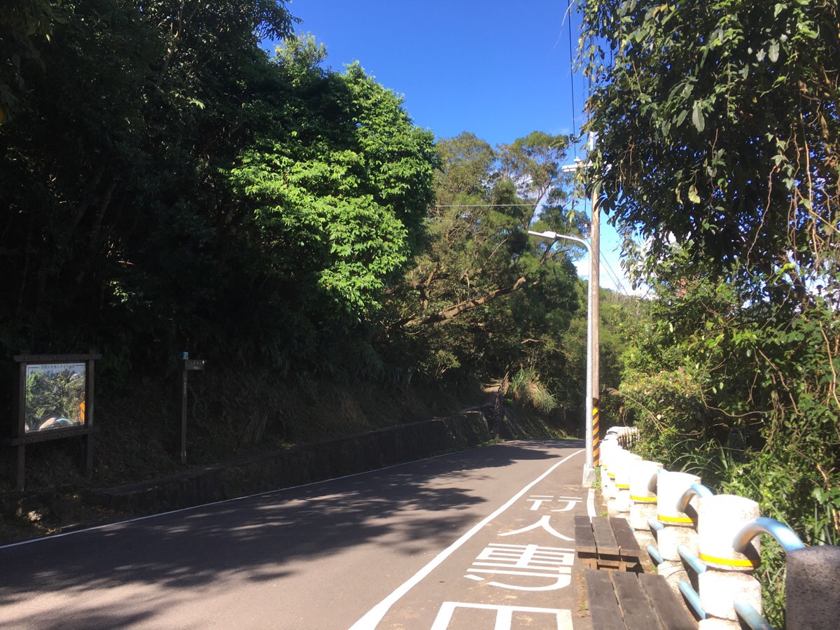
Starting from Wende MRT Station, I took Lane 101, Wende Road up towards Bihu lake.
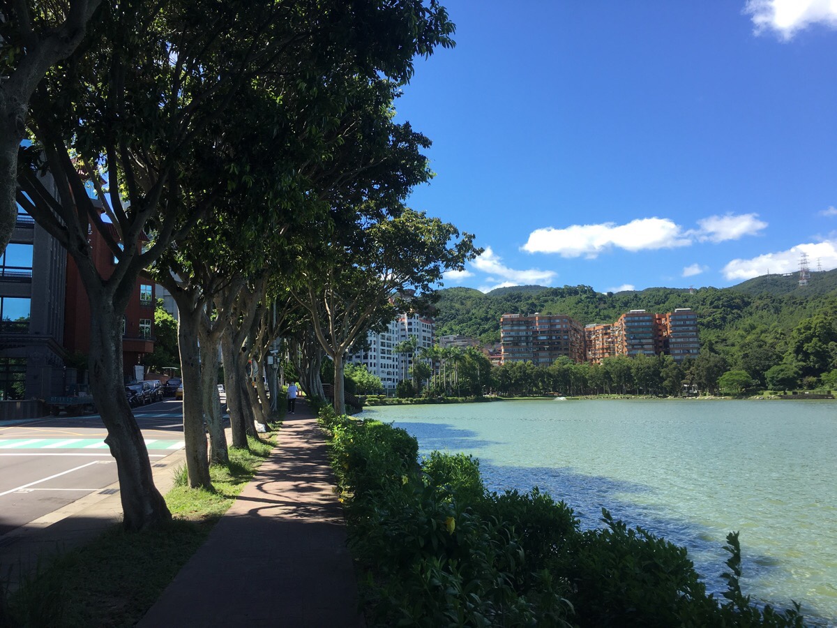
The weather was hot, but the clear blue skies were all the refreshments I needed. I followed the pavement along Lane 101, keeping the lake to my right. Where the path splits, and a wooden walkway runs along the edge off the lake, I decided to stick to the road and I passed the small outdoor swimming pool, (which was recently sensationalised in the news as the location of a cobra sighting).
At the end of Lane 101, you need to cross over to the far side of Huashan Road and bear left. Then take the first right up Lane 30, Huashan Road.
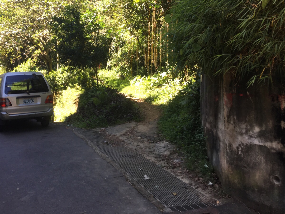
About 20 metres or so up the lane there is a dirt track leading up on the right. It’s unsignposted, but there are quite a few hiking tags added to the bushes.
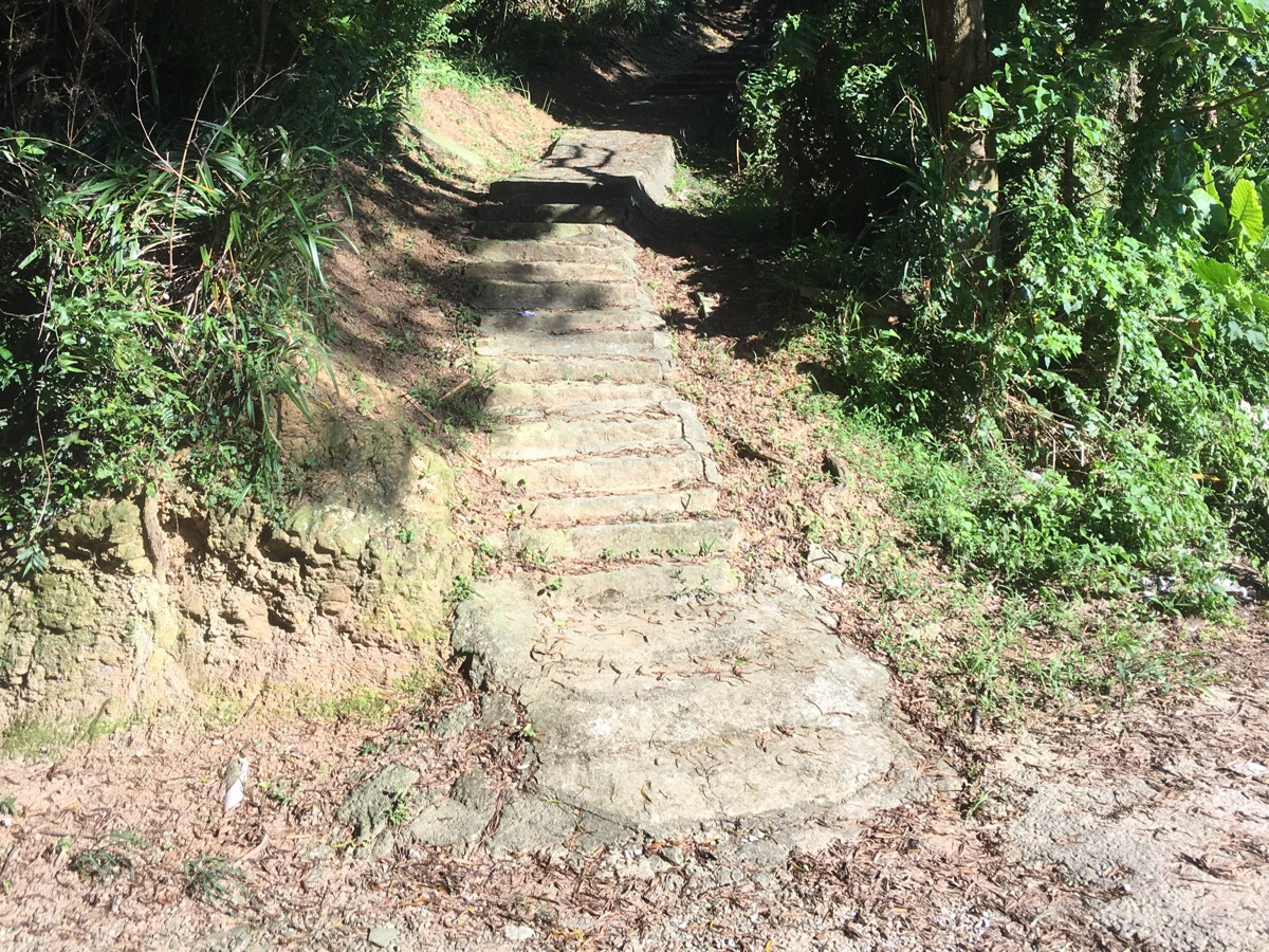
The trail leads up a way, then steps appear heading up on the right. I ignored the first flight of steps, and headed up the second, (again, unsignposted). Actually, both arrive at the same place, but the first steps look slightly less well maintained.
The path climbs steeply upwards, once or twice offering openings out over Bihu Park. As a ridge appears ahead, the path splits in two. You can either head left, or up to the ridge and then left – they both join up after a while. I headed straight up and then left. At the top, I met a guy who had come from the path on the right, (it comes up from the other side of Bihu Park). He asked me where I’d come from and if I’d already passed Jinmian Shan or not.
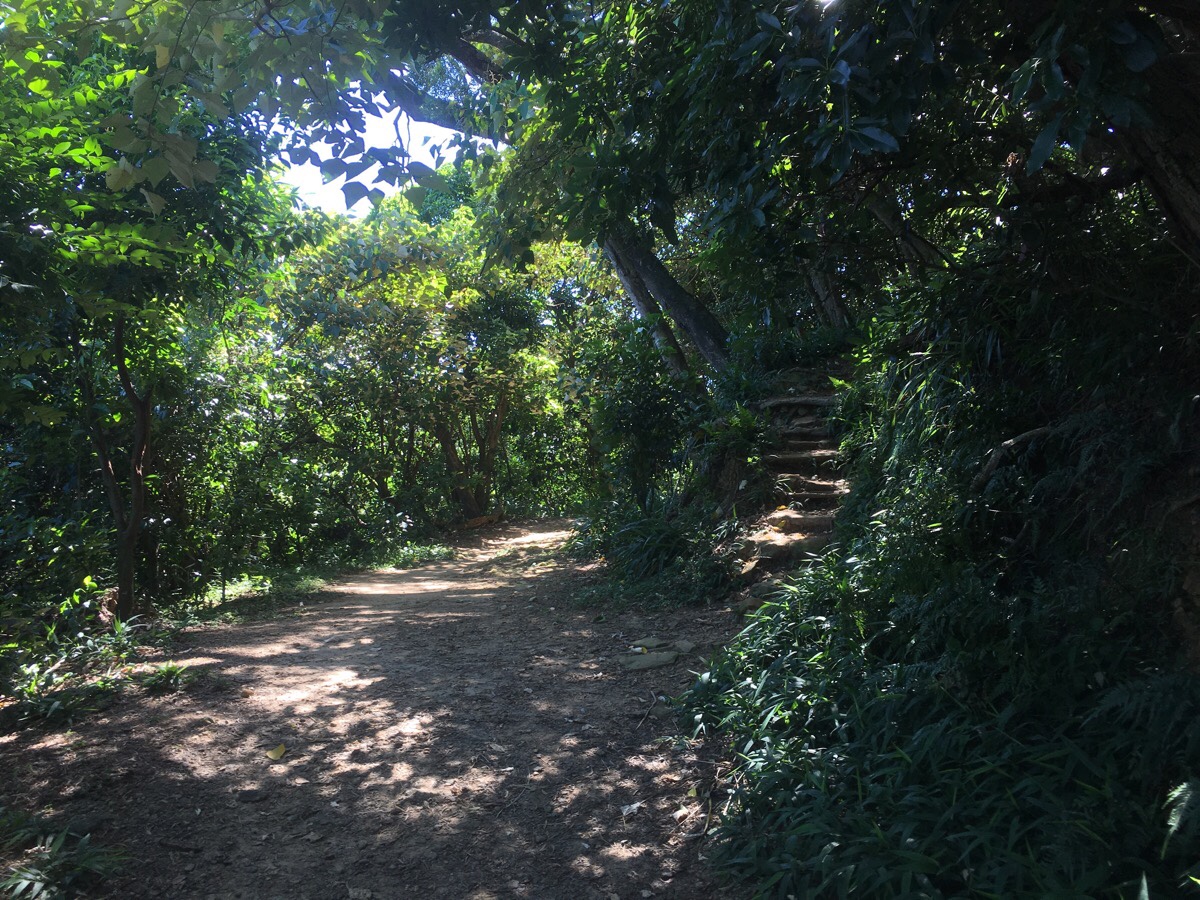
The path to the left dips down, then climbs up, then dips down and climbs up again several times. This is the result of the trail following a dramatic ridged spine that is visible and enticing from several nearby routes.
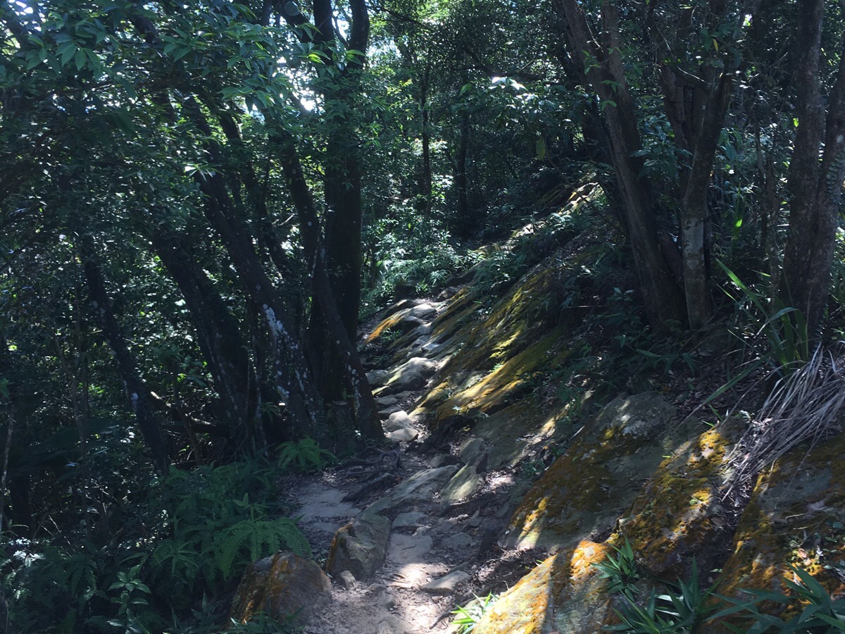
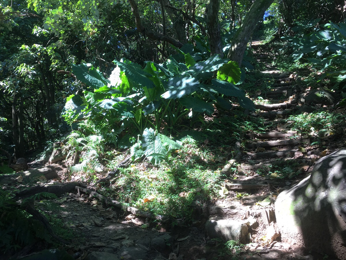
There are some really nice sections along here – much of the path is steps, but the sections where it is a natural floor path are just great. You need to watch where you put your feet, but it’s really pretty and just the right amount of mentally taxing. And the higher up you get, the more it becomes a scramble.
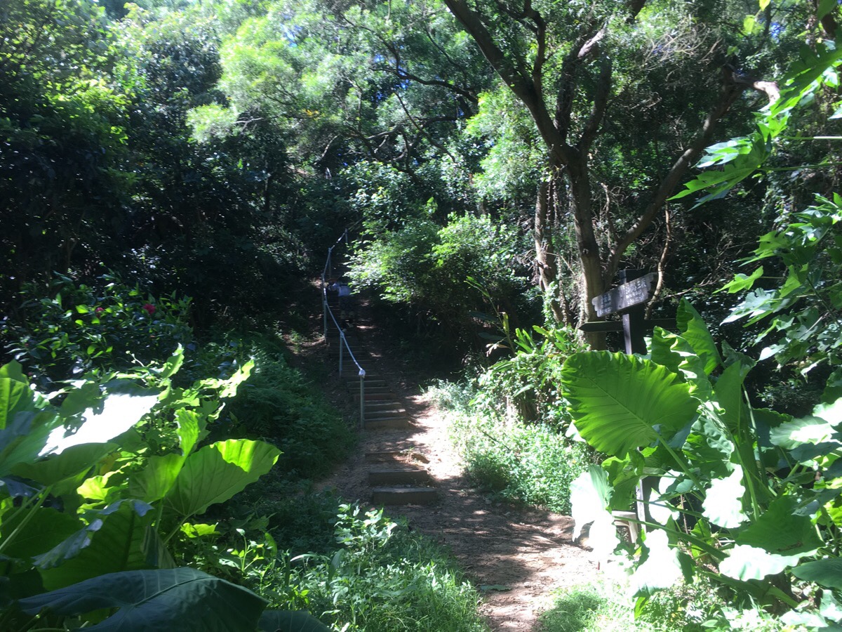
There are several path branching off left and right along the way, but just keep following the route (more or less straight) towards Jinmian Shan.
Jinmian Shan itself is passed with little fanfare – just a small sign in a clearing, but keep heading up and you’ll soon come across the much instagrammed vista that this walk has become popular for. There was just a couple working their thing and being cool on the rocks when I arrived, and an aunty doing breathing exercises.

I headed on from the peak, and soon found myself at a junction. The path I followed heads right, but I took a quick peak to the left first. The sounds of friendly chatting we’re coming from the bottom floor of a shelter. I set my pack down to get some nuts, and looked over the guardrail. There was a group of maybe ten or so of Taiwan’s finest retirees cooking up tea and conversation on gas stoves at the table below me.
I left them and went back up to the junction where I took the right path downwards.
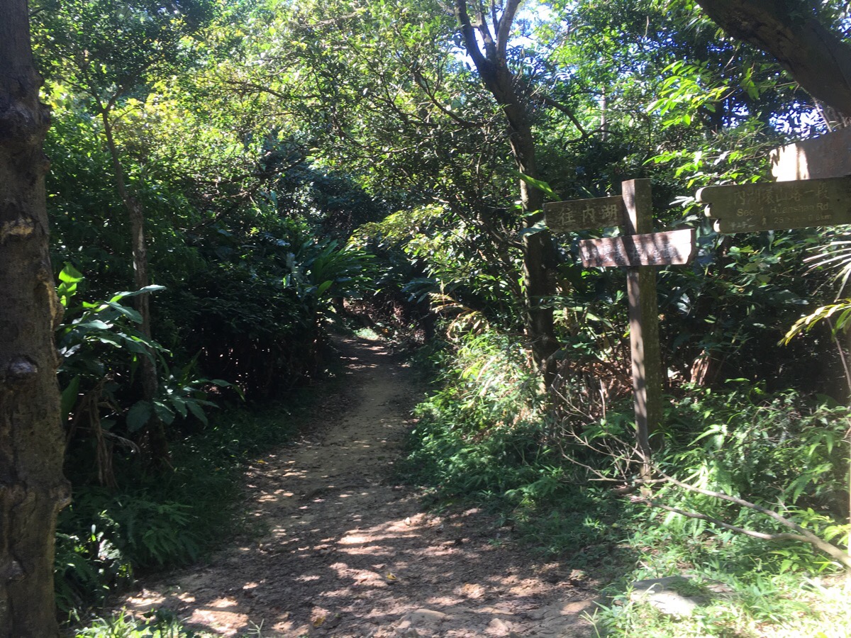
There are a couple of junctions. Here a path joins from the left (signposted as heading towards Section 1, Huashan Rd), keep heading straight. A little further on there is an unsignposted fork – I took the left path, but both go in the same direction.
A third junction appears – here again I kept straight.
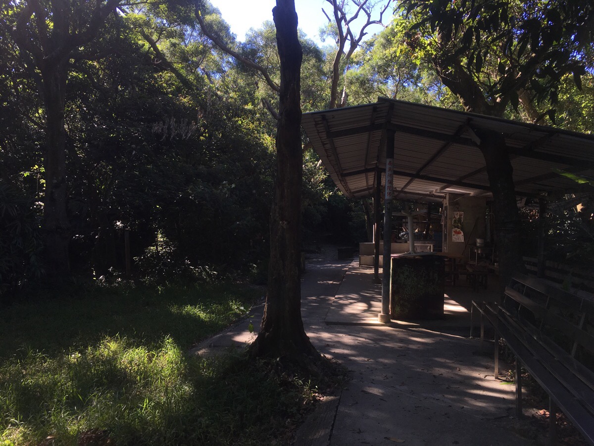
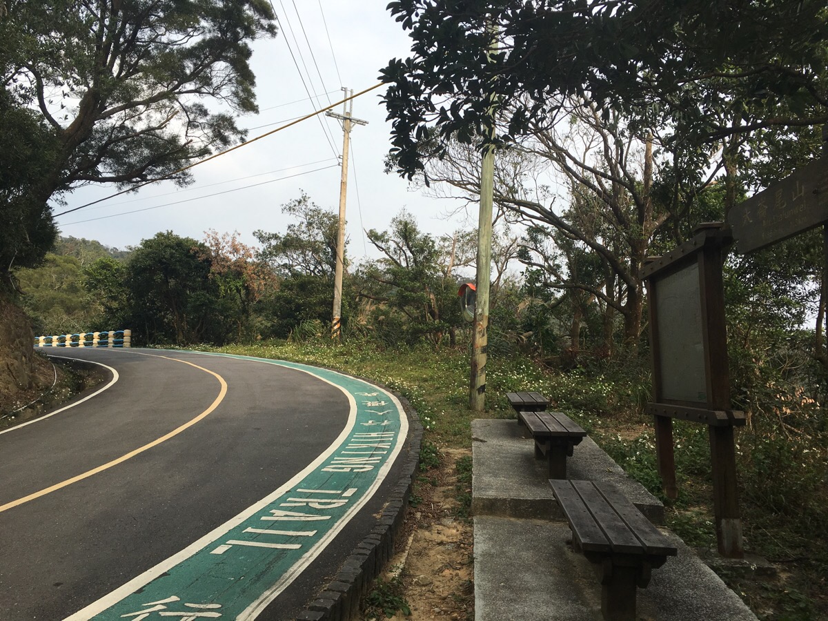
A short while later I arrived at the shelter where the trail intersects with the Taipei Grand Hike, (the Bishanyan to Jiantan Section). There was a single gentleman chilling out topless in the shade, and since I didn’t want to intrude on his alone time, I got on my way and headed straight on the main path. (The path here splits in three ways – a stone trail heads left towards Wenjian Shan and straight, toward Dalunwei Shan, there is also a third natural path which dives up into the trees. The signpost was inaccurate when I passed though.)
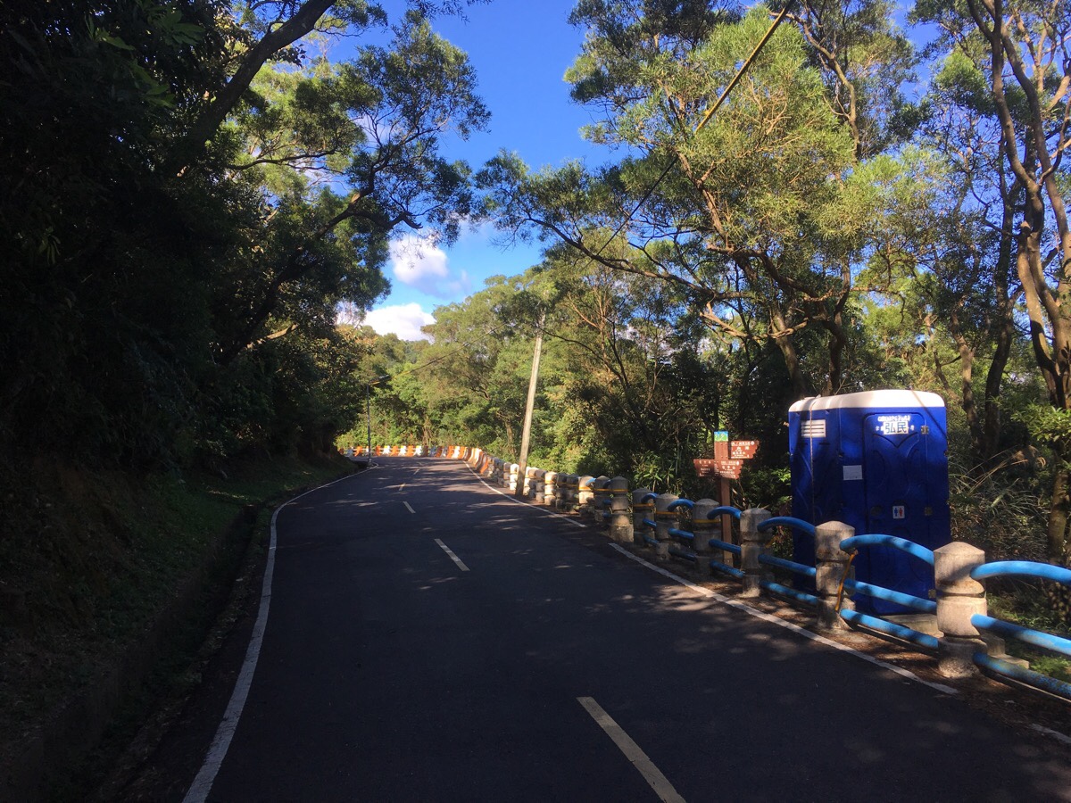
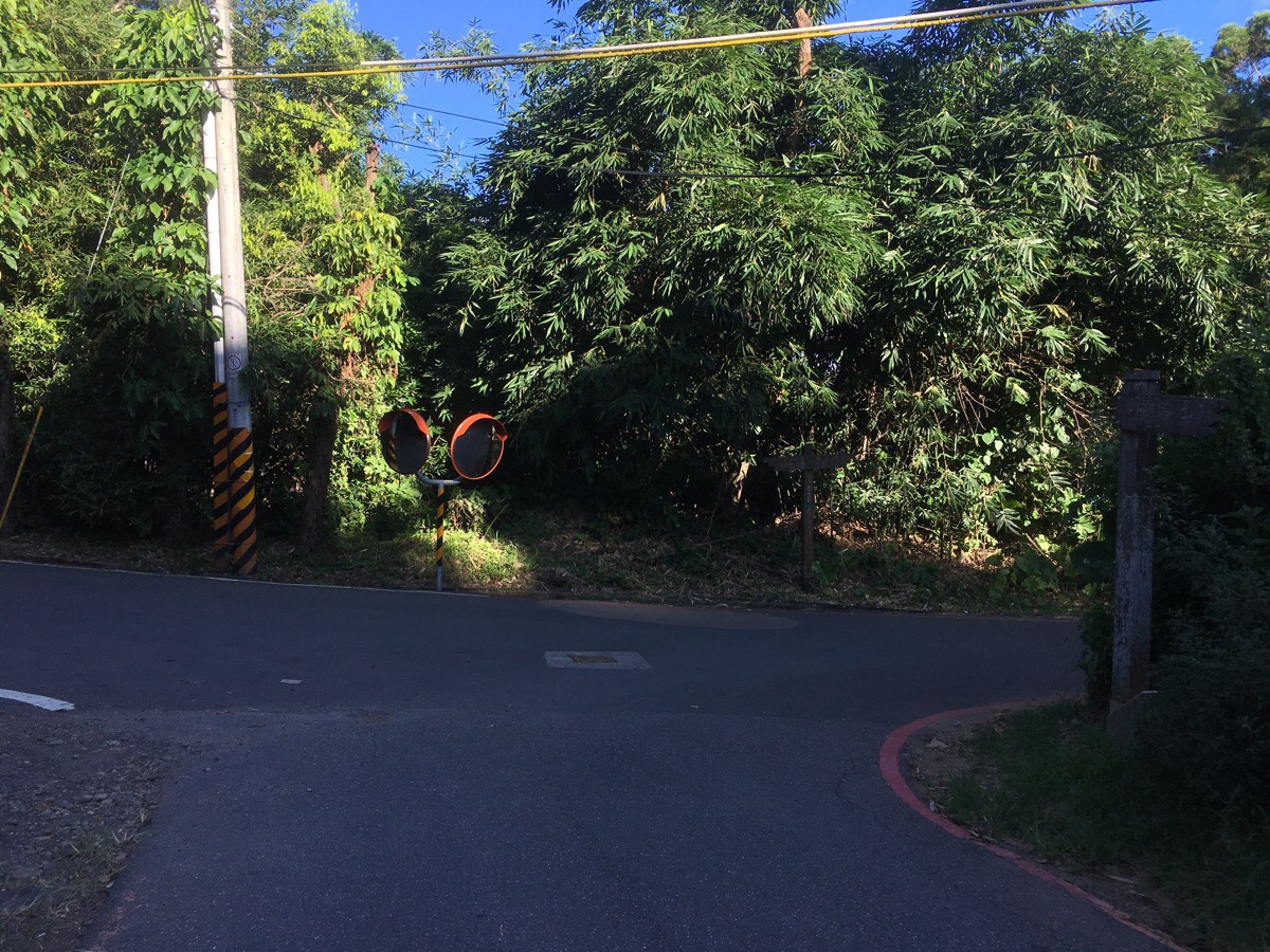
After a brief climb, the path arrives on a road, then crosses over Jinlong Rural Road and continues climbing into the trees on the far side.

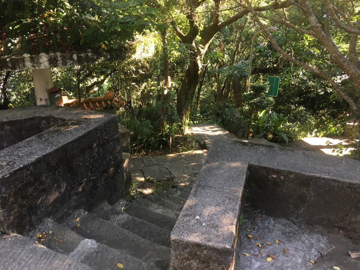
If you look down to the left just as you start up the steps, you might notice this Qing dynasty grave along the side of the trail. A little further up there are two Land God temples, the second only a short distance from where the trail emerges back onto the road again.
The steps arrive at Jinlong Rural Road for a second time. (The road winds it’s way up the hill, but the trail cuts a more direct route.) I sat on the bench to get a drink and noticed a pack of three stray dogs heading my way. I decided to stay put to get a sense of their behaviour, but I needed have worried. They were all three very timid, the leader jumping up into the underbrush on the opposite bank as it came closest to me.
I turned right and followed the road around a bend to another land god temple.
What followed was 5-10 minutes of road walking. There are two paths leading off the road, (first one on the left, then another on the right), that I ignored, and instead I followed signs pointing along the road to Zhongyong Shan. After arriving at the next turnoff point, (the second on the right, and the third in total), I took the steps down onto the path. Here I was covering ground I’d walked as part of the Taipei Grand Hike, but in reverse.
The path is really pleasant, it dips and curves though woodland, and at one point it crosses a small stream. Then after climbing for a short distance, the path cuts through Neihu’s third cemetery. Steps lead down to the cemetery’s access road, and then immediately back up the other side.
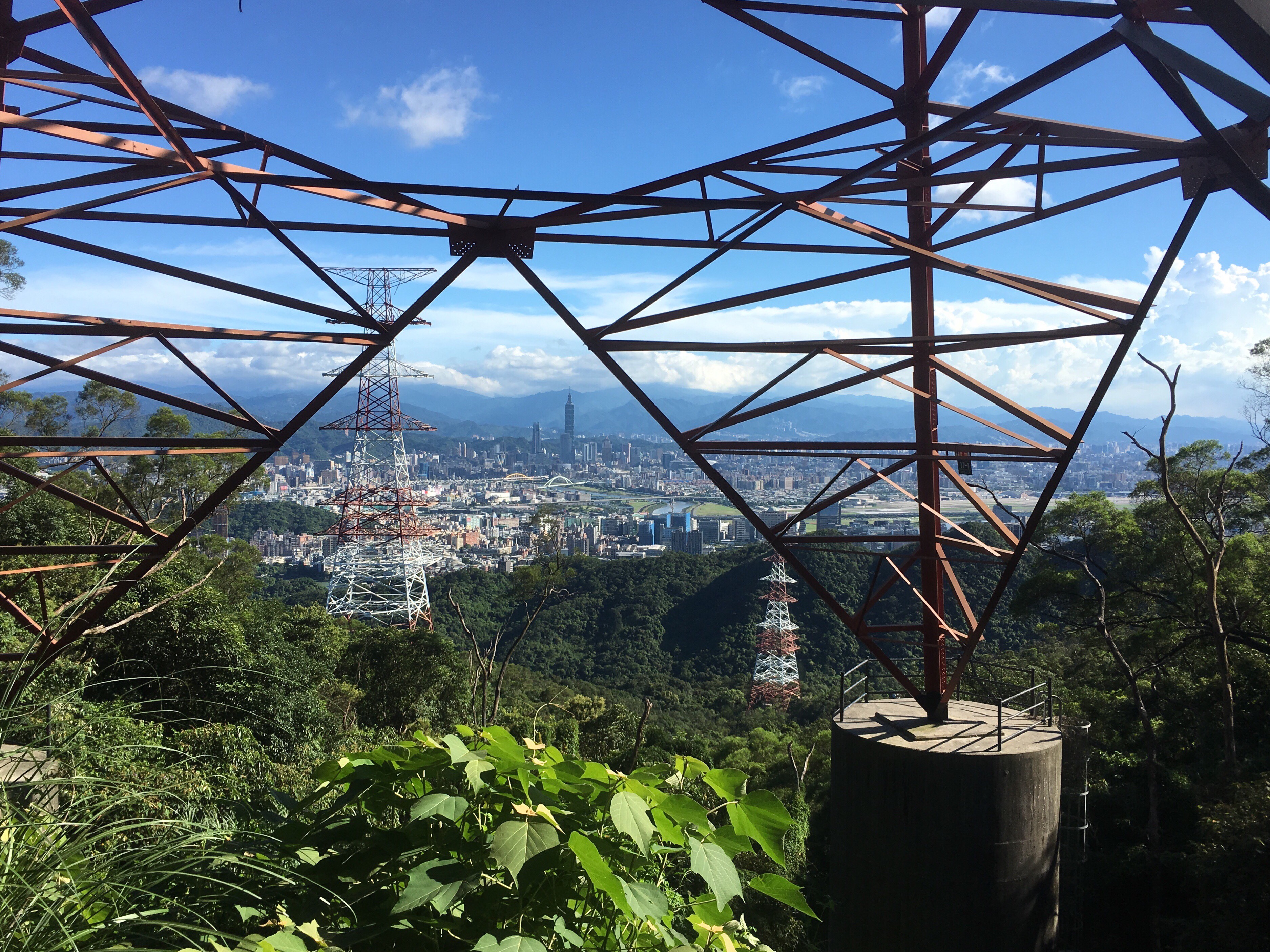
There is a little more climbing before the path arrives at Zhongyong Shan, and I passed under the pylons that I’d seen from across the valley.
As the path draws close to Zhongyong Shan, you can see a large number of weekend karaoke dwellings set up in the trees.

The peak itself was teaming with older folk either shooting the breeze with friends or working on their iron physiques.
Here you have a choice about which way you want to go down. You can either head to Bishanyan Kaizhang Shengwang Temple, (well worth a look if you’ve never been), and then down past Yuanjue Falls to Dahu Park Station. Or take the first path on the right down towards Neihu station.
Since I have already walked the Yuanjue Falls Trail so many times, I decided to go the other way and head down the trail towards Jinlong Temple.
Numbers sprayed onto the steps indicate the amount of steps already gone down and remaining to go.
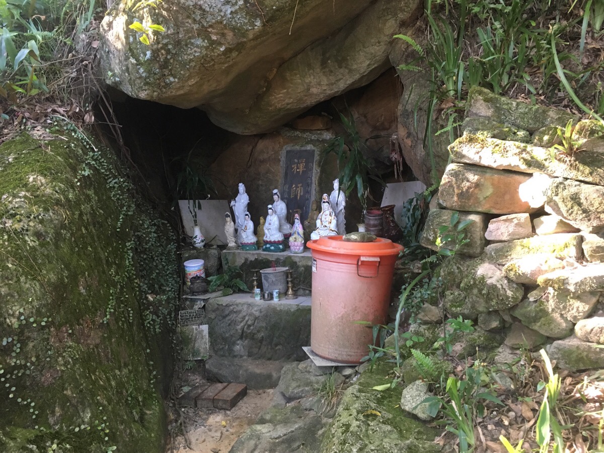
Not far down from the peak, a small unmarked spur off to the right houses this little shrine to the goddess Guanyin in a cave.
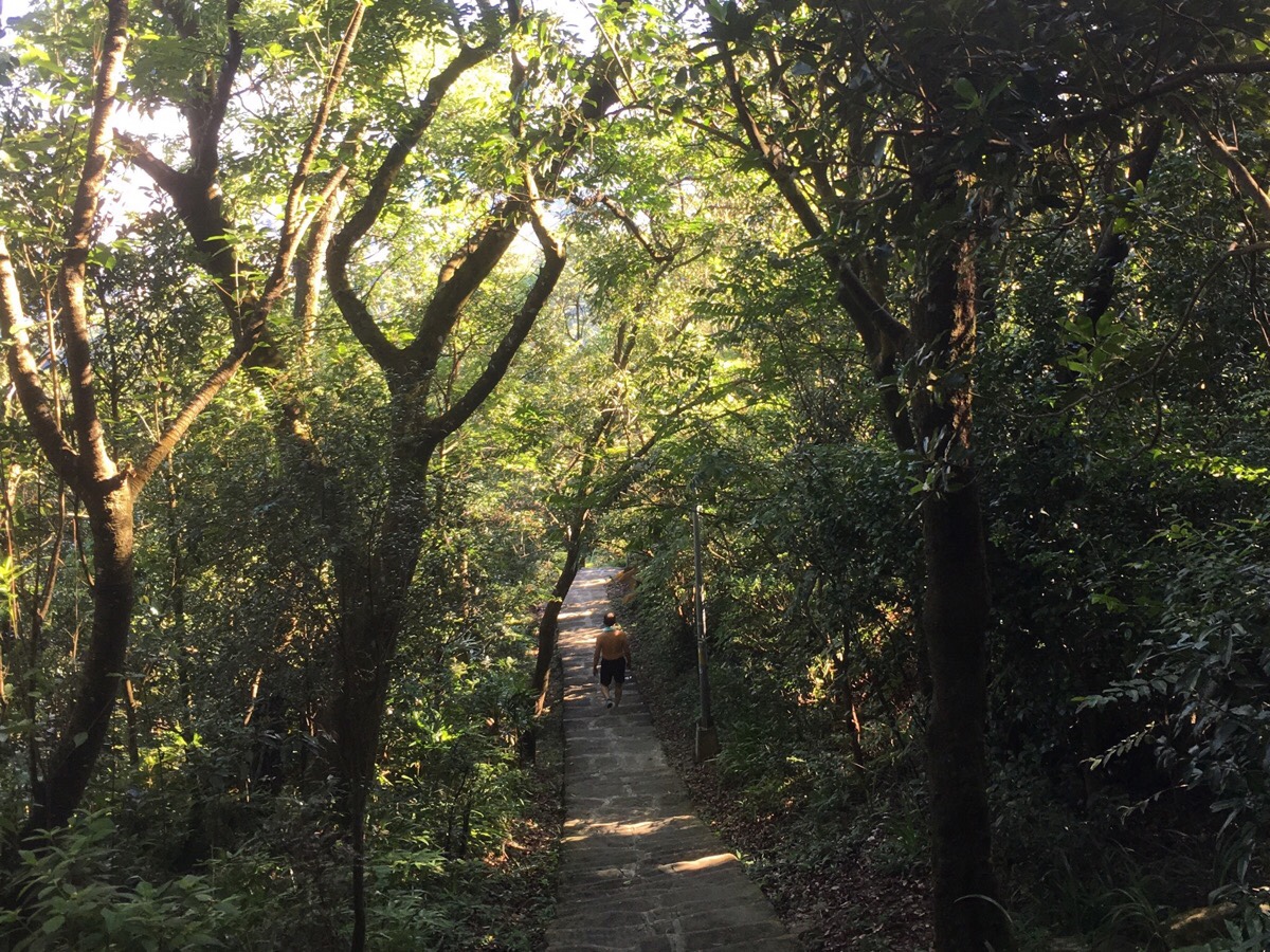
The path down is quite pretty, (if a little steep). I passed a few huffing young couples and several sprightly elderly walkers making their way up.
Where the path comes out there is another temple to Guanyin, this one had a much bigger statue out front.
After following the road down a short way there is a junction. Following the road right and downhill will lead you back towards the city.
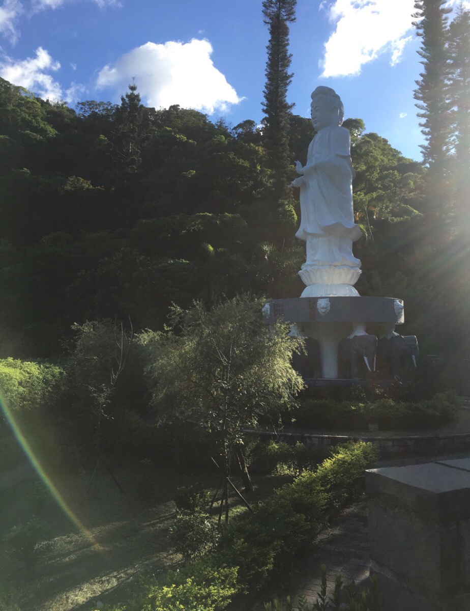
The road curves past the third religious establishment – this one with a giant Buddha atop elephants. I remember seeing this from the viewing area in front of Bishanyan Kaizhang Shengwang Temple and wondering where it was.
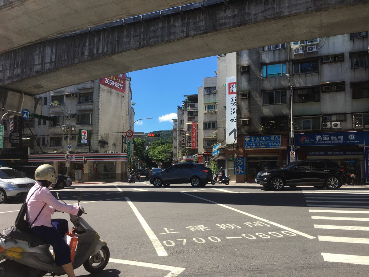
The road runs downhill along a river until it gets to the houses. Here you can turn right (towards a 7-Eleven sign).
At the 7-Eleven, you just need to turn left and then follow the road all the way back to Neihu Station.
How to get to Jinmian Shan
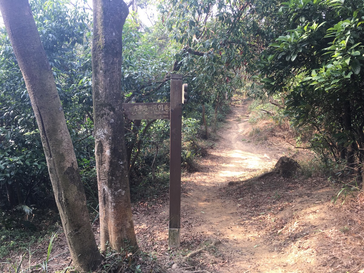
Google Maps address: the trail starts from Lane 30, Section 3, Huashan Road, Neihu District. To do it in reverse, you can make your way to this red-roofed temple just up the road from Jinlong Temple.
GPS location:
- Bihu Park trail head – N25 05.109 E121 34.796
- Jinlong Temple side trail head – N25 05.634 E121 35.088
Public transport: both entrances to this trail are served by the Wenhu Line. The Bihu Park trail head is a 10 minute walk from Wende Station, and it is a 20 minute walk or so from the Guanyin Temple at the other end to Neihu Station.
Further reading: this walk covers a similar distance and the middle section is the same, however, the end points and start points are different. Indeed, since doing the hike written about here, I did a similar route, but instead of heading down to Neihu Station from Zhongyong Shan, I went to the big temple at Bishanyan, (where I ended up watching a ghost month activity – a middle-aged woman flinging trays of sweets and coins at the gathered people), and from there down the Yuanjue Falls path. I think I preferred this slightly longer route. And for more photos to give up an incentive to get up there you could check Josh Ellis’s photoblog.
Nearby trails:
- Bihu Park Amble
- Dragon Boat Rock and Yuanjue Waterfall
- Egret Hill
- Neihu’s Path Less Travelled
- Neihu Twin Hearts Trail
- Scissors Rock Night Hike
Jinmian Shan Tail Map
GPX file available here on Outdoor Active. (Account needed, but the free one works just fine.)
This is the bit where I come to you cap in hand. If you’ve got all the way down this page, then I can only assume that you’re actually interested in the stuff I write about. If this is the case and you feel inclined to chip in a few dollars for transport and time then I would appreciate it immensely. You can find me on either Ko-fi or Buy Me a Coffee.
