Distance: 9.2km
Time: 50 minutes at a semi-leisurely pace.
Difficulty: 1/10 – short, pretty flat and easy to navigate.
Total ascent: 98m
Water: I took my 0.5L bottle and barely touched it.
Shade: not really any shade.
Mobile network: perfect the whole way.
Enjoyment: 5/10 – short and sweet, but it wasn’t quite enough for me. I’m thinking of combining it into a longer route at some point though. Also, despite skirting right around the bottom end of Taipei, the views are minimal.
Jump to the bottom of this post for a trail map, GPX file, and transportation information.
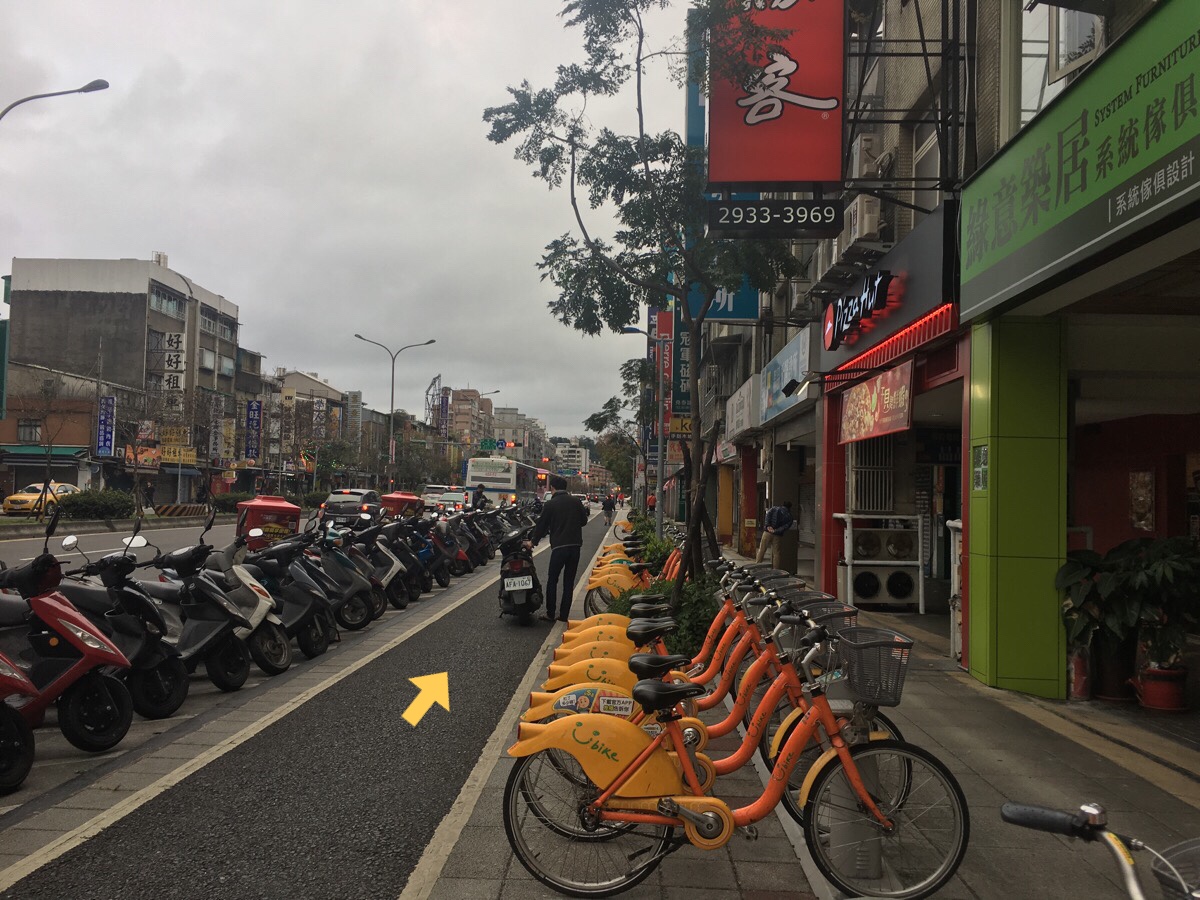
Take exit one from Wanlong Station, the YouBike stand is right outside the exit.
Take the first right onto Wanlong Street.
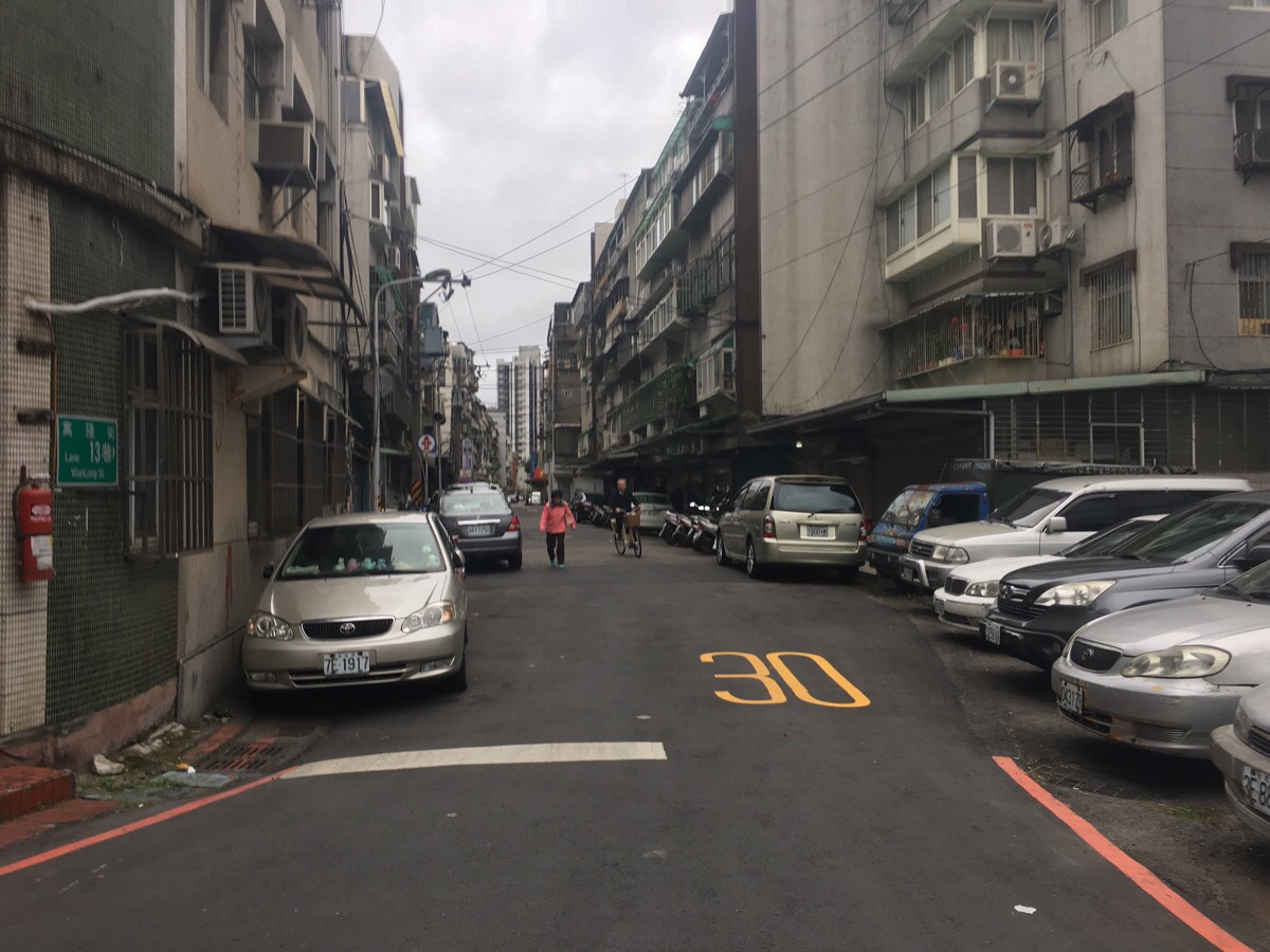
Then the first left onto Lane 3, Jingfu Street.
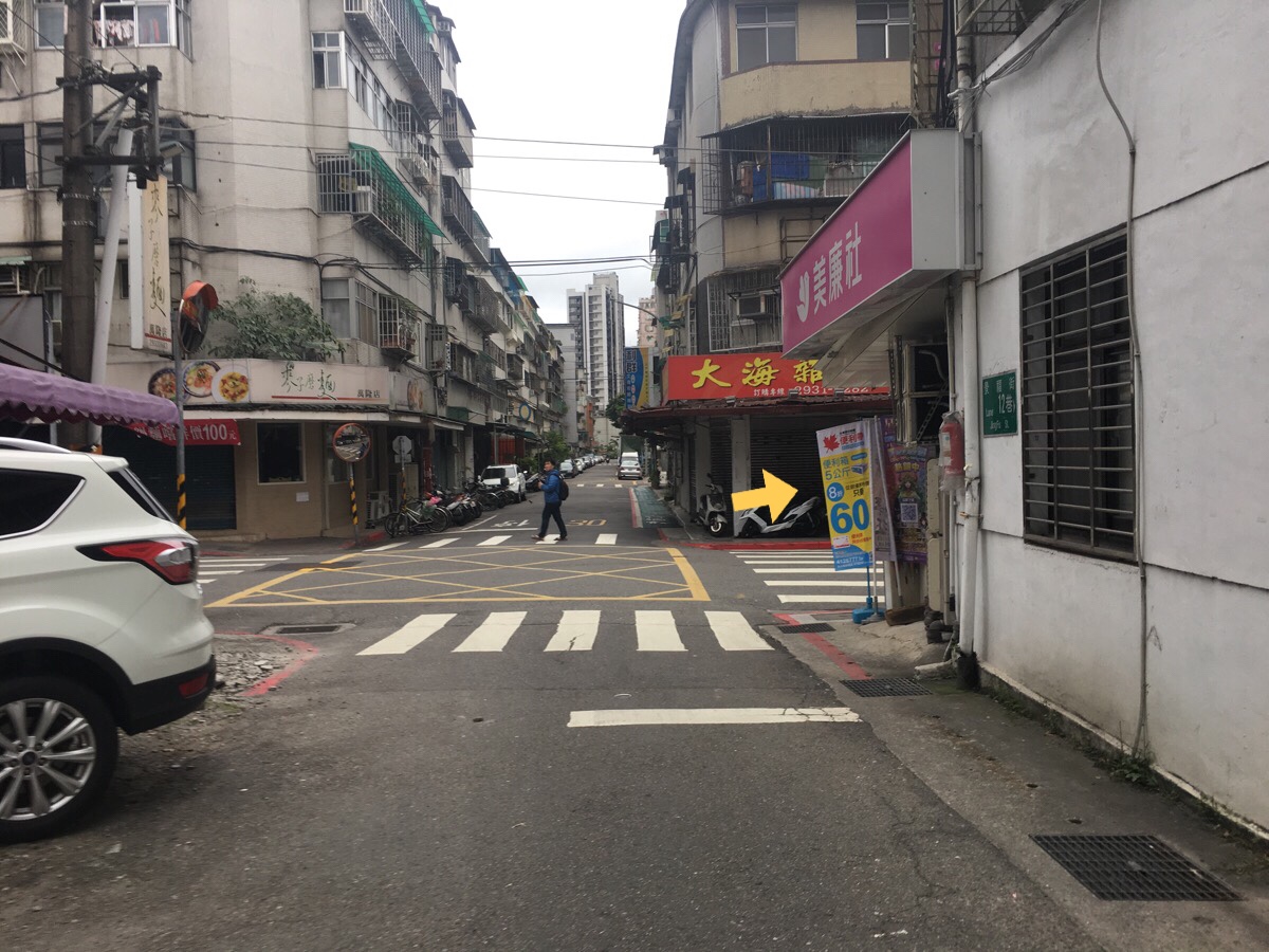
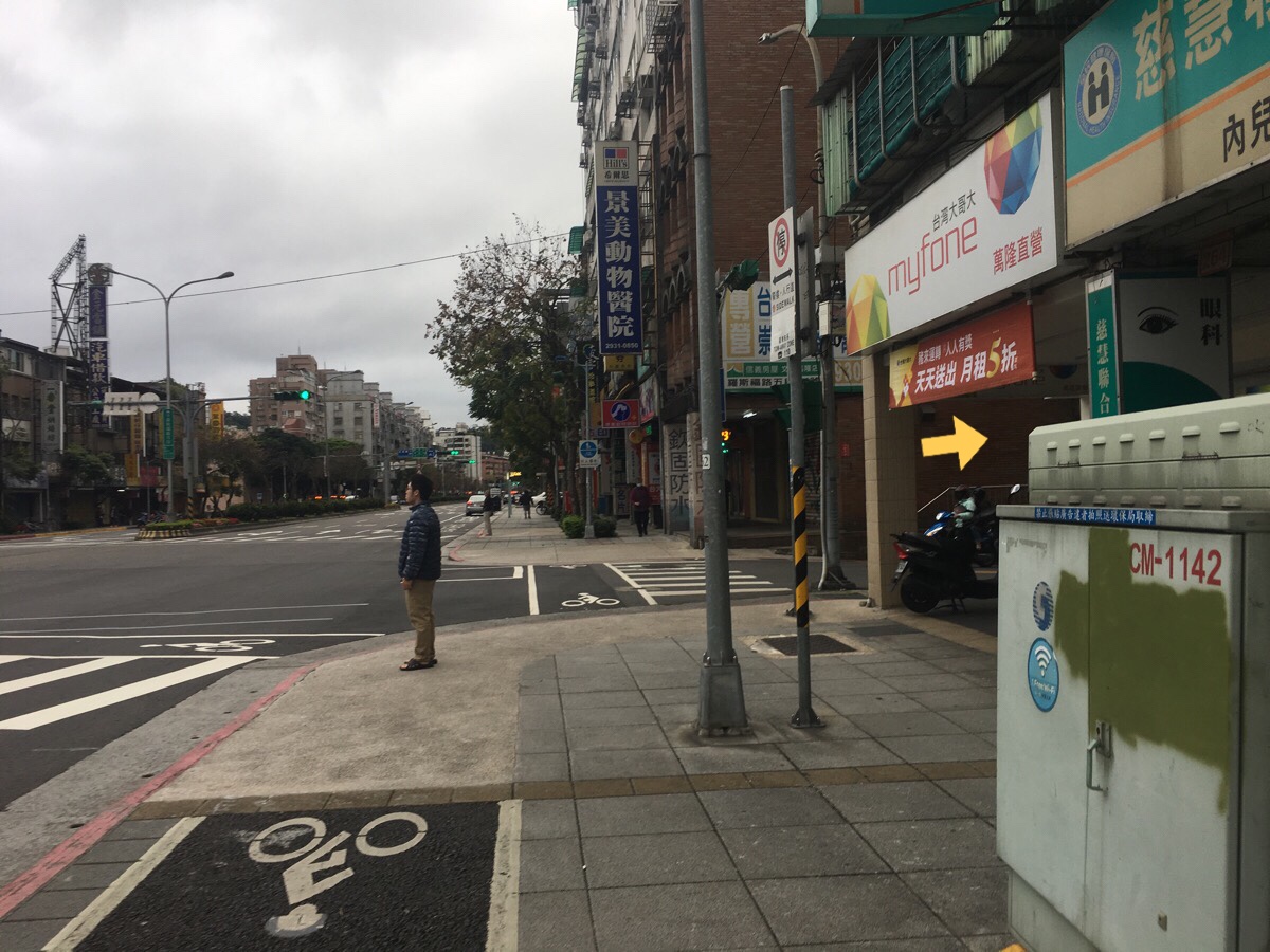
At the junction, turn right onto Jingfu Street and keep going until the big junction will Lane 142 Roosevelt Road.
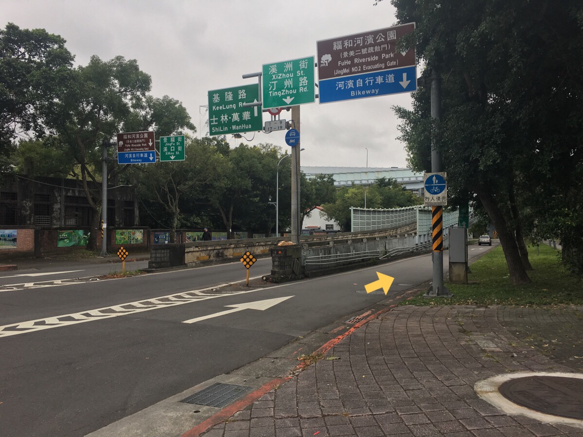
At the junction, follow the signs for the bikeway and Fuhe riverside park.
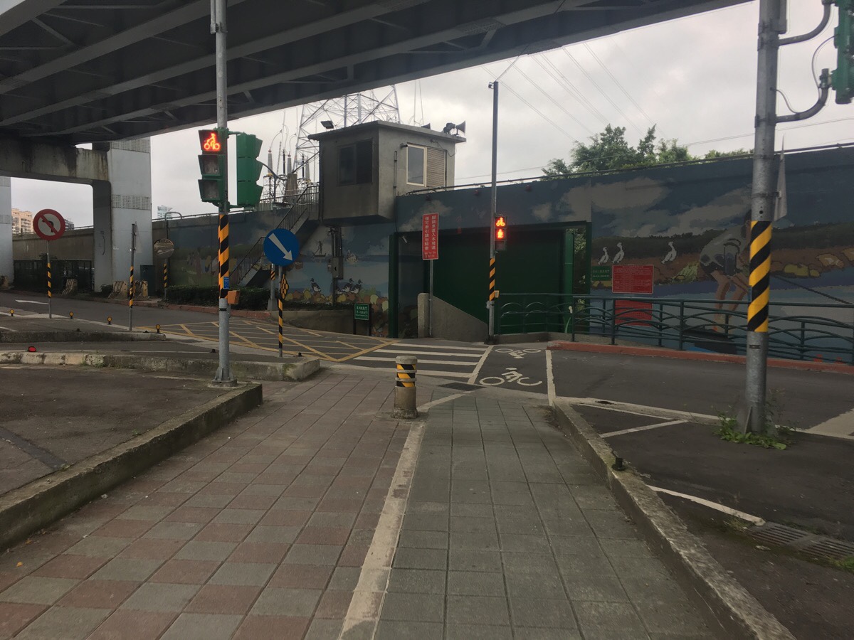
Head through the evacuation gate and bear left. Be aware of scooters and cars as you cross, the junction was kind of busy.
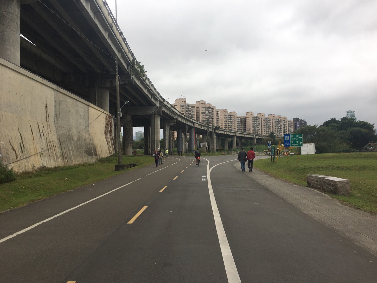
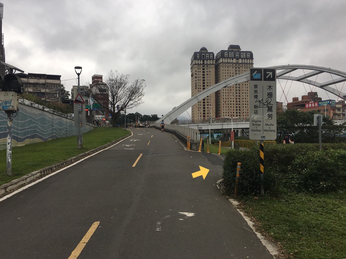
Almost as soon as I got into the park, I took the lefthand cycle path signposted as going towards Jingmei. The sign is hard to read in the photo, it indicates that Jingmei is straight while Xindian is right, the path over the bridge is the one towards Xindian.
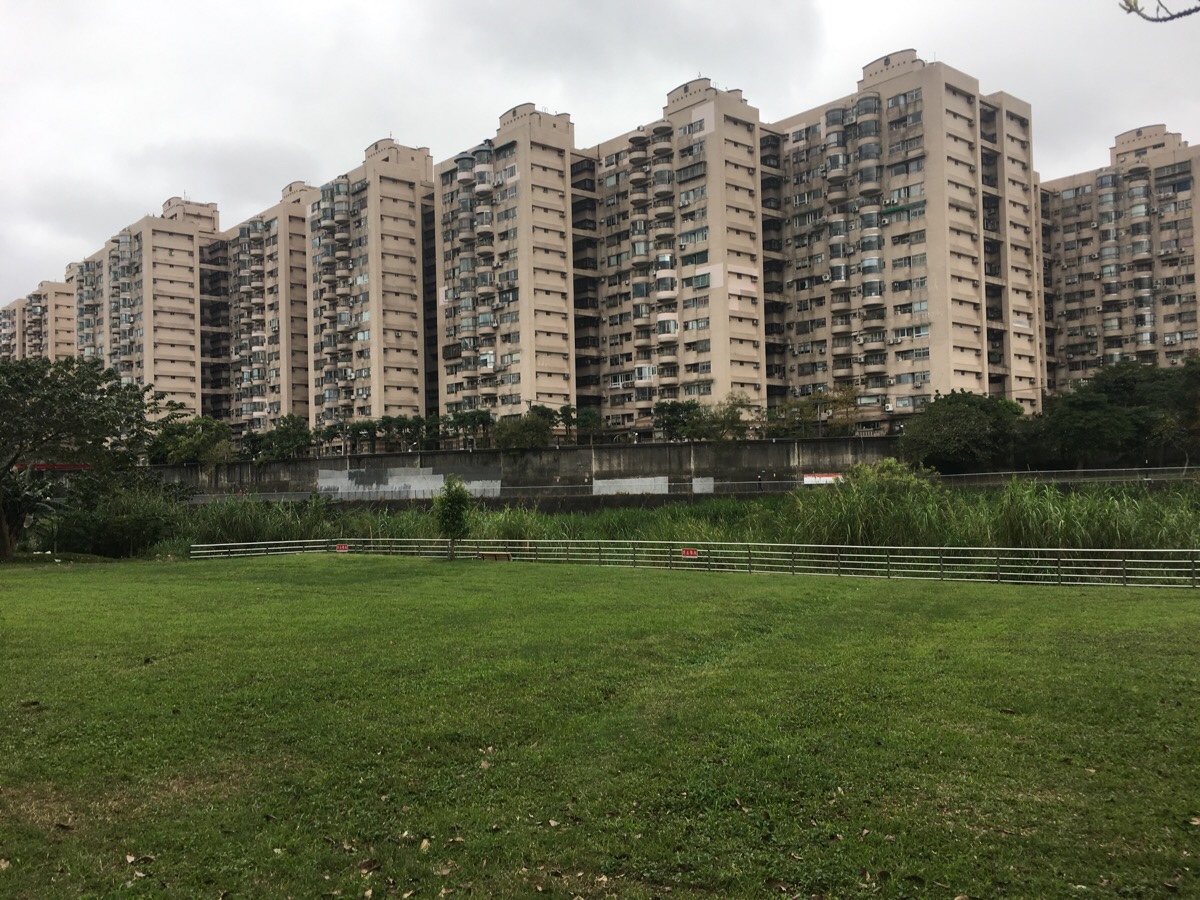
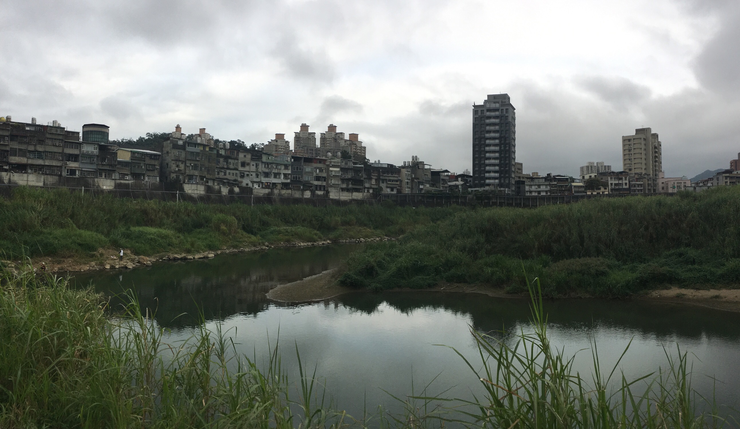
The buildings on the opposite bank reminded me of the uniform blocks of Hong Kong housing estates.
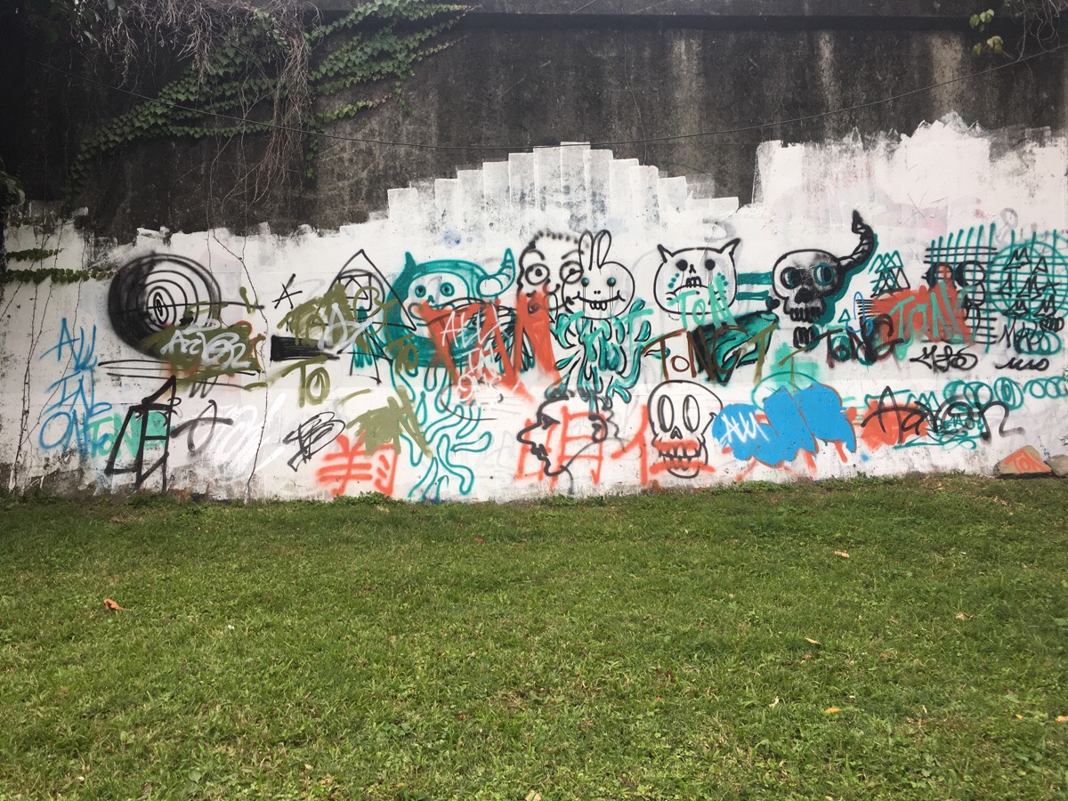
Unlike most of the other river parks, this one doesn’t really have much art. Just this graffiti and alter some decorative tiles.
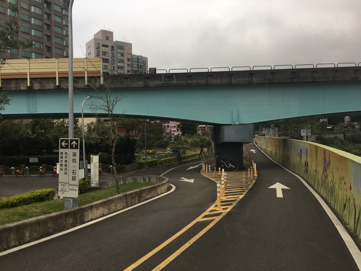
Just before a bridge, the path splits in two again, keep following signs to Muzha.
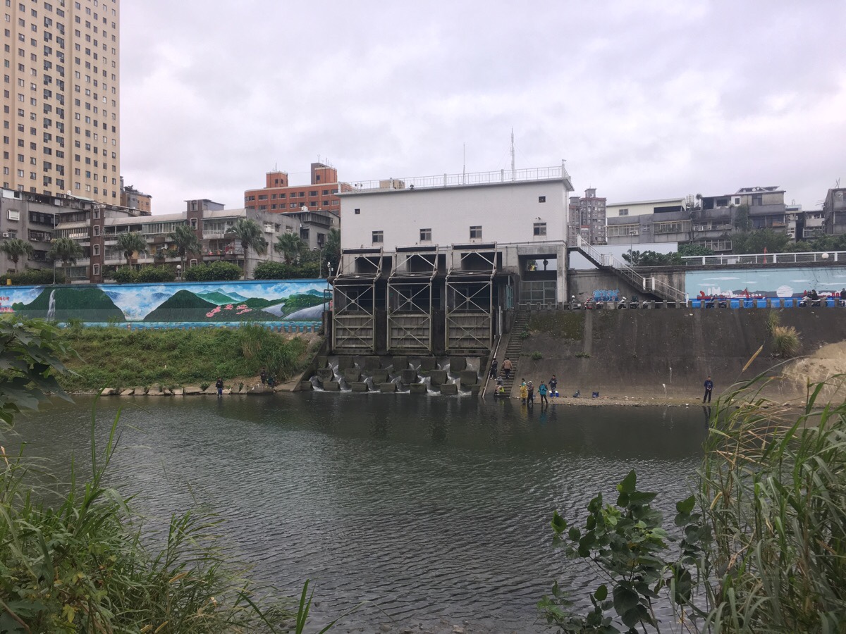
At a couple of spot along the river, water from city streams and drains empties into the main water course. Around each of these there is a large number of fish churning up the water. A couple of them have attracted fishermen looking for an easy catch – although I am certain that no one is going to be eating the fish from here.
The river bends around a couple of times. The further upstream you go, the older the buildings seem to be. On the opposite bank just a little further up from this photo are a load of low-roofed industrial units. They seem pretty old, and from google maps it looks as if several of the roofs have large panels stripped away.
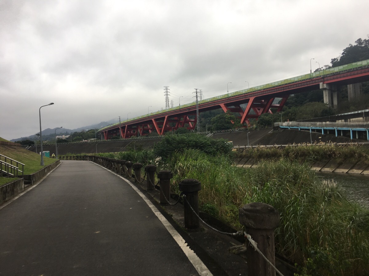
As the cycle path approaches Yishou bridge, the huge support struts of highway number 3 curve into view.
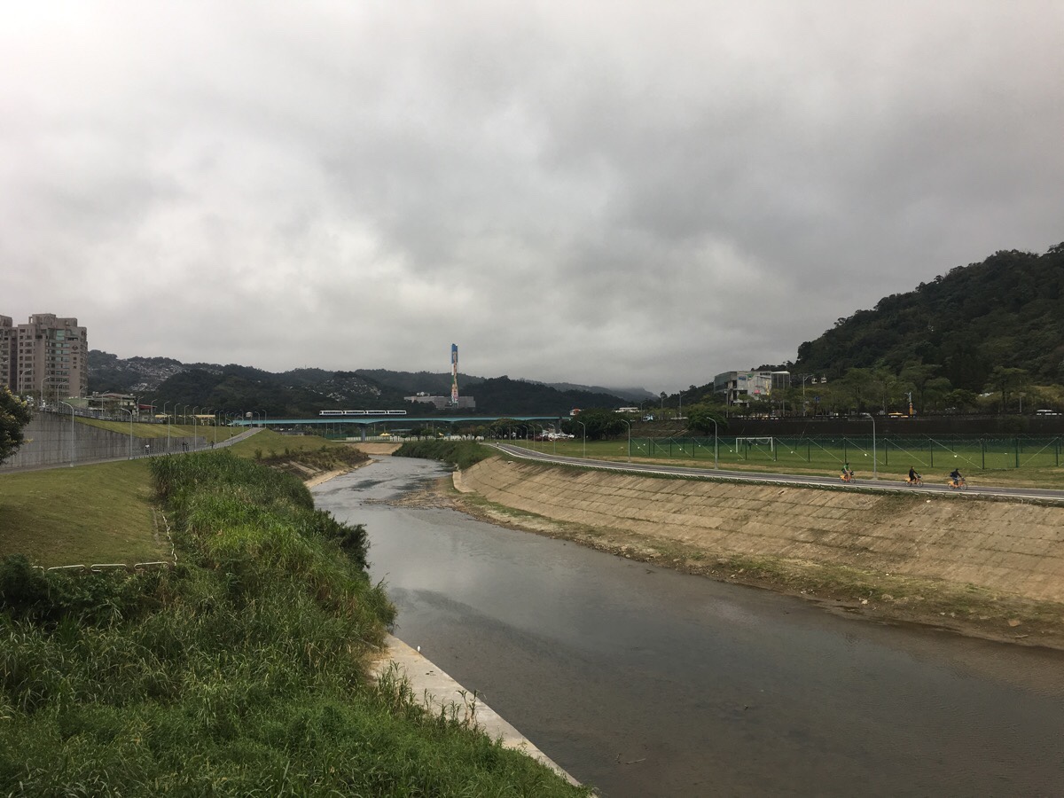
The park along the final stretch of the cycle path looks to be undergoing some renovation, and it looks like there will soon be a very well-equipped kids’ playground here. The MRT bridge is the goal, on the far bank is the cable car station and Taipei zoo.
I only wanted a small amount of gentle exercise to get the blood flowing through my legs after all the walking I’d done over the holidays, so I parked my bike up under the bridge and caught the MRT back. But if you’re feeling energetic, I think it’d be possible to cross over and cycle back on the opposite side.
How to get there
Google Maps address: I got into the park via Xizhou Evacuation Gate, 116, Taipei City, Wenshan District, Lane 142, Roosevelt Rd.
GPS location: N25 00.001 E121 32.119 – again, this is where I got into the riverpark.
Public transport: Wanlong MRT station is the closest, and there is conveniently a YouBike stand right outside.
Jingmei River Bikeway Trail Map

GPX file available here on Outdoor Active. (Account needed, but the free one works just fine.)
\
