
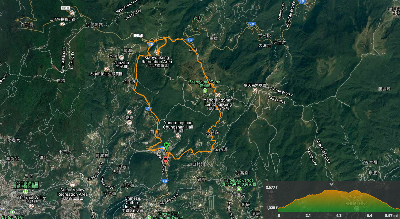
Distance: 13.9km (including a short detour to Lengshuikeng).
Time: 5¼ with only a short break
Difficulty: 1-3/10 – the whole of this walk is pretty easy. Depending on how far you want to go, it can be either a super easy walk or a long easy walk. There are a few ups and downs and the path can get a little slippery in places but otherwise, there’s nothing tricky. It’s also mostly well-signposted.
Total ascent: 753m (all of that done between elevations of 397m and 816m).
Water: 0.8L – Actually, I’m not sure we drank that much but that was because the weather was cool. Also, you don’t need to overpack as you can refuel with tea, coffee and snacks at Xiaoyoukeng visitor centre (which is a little under halfway if you start from where we started).
Shade: On and off – I needed an umbrella for parts of it and for the better-shaded parts the umbrella doubled as a walking stick to support me over slippery rocks.
Mobile network: Mostly good but with a few black spots.
Enjoyment: My levels of enjoyment yoyo-ed quite dramatically over the course of this walk. The low points were the two longer road sections without any path, and I’m not a big fan of fully paved paths, however, there were plenty of things which made it more enjoyable. Firstly it’s not so easy to find walks which allow you to cover more than 10km in a day (especially if you start in the afternoon), so I was happy to be able to stretch my legs a bit. Also, this route takes you past or close to some interesting spots: Yangmingshan Visitor Centre, Xiaoyoukeng, Lengshuikeng public hot springs, Jingshan Suspension Bridge, Zhuzihu, Menghuan Pond, Juansi waterfall (it would require a detour to go and see the waterfall via the waterfall trail), and a lot of seasonal attractions which are famous for calla lillies, hydrangeas or cherry blossom. It would be possible to include visits to most of these places on the hike as long as you start in the morning – and this would be an excellent way for you to experience some of Yangmingshan Park. It was also pretty enjoyable to hike up to these tourist hotspots and then walk away leaving the crowds, noise and traffic behind – even though the path frequently ran right next to the road, the fact that it was hidden by trees gave the whole walk a kind of secretive feeling, like you were sneaking along next to everyone on the roads and they didn’t know you were there. Added to that, there’s the fact that it’s a loop, easily accessible by public transport and has conveniently placed rest stops made it pretty enjoyable.
Jump to the bottom of this post for a trail map, GPX file, and transportation information.
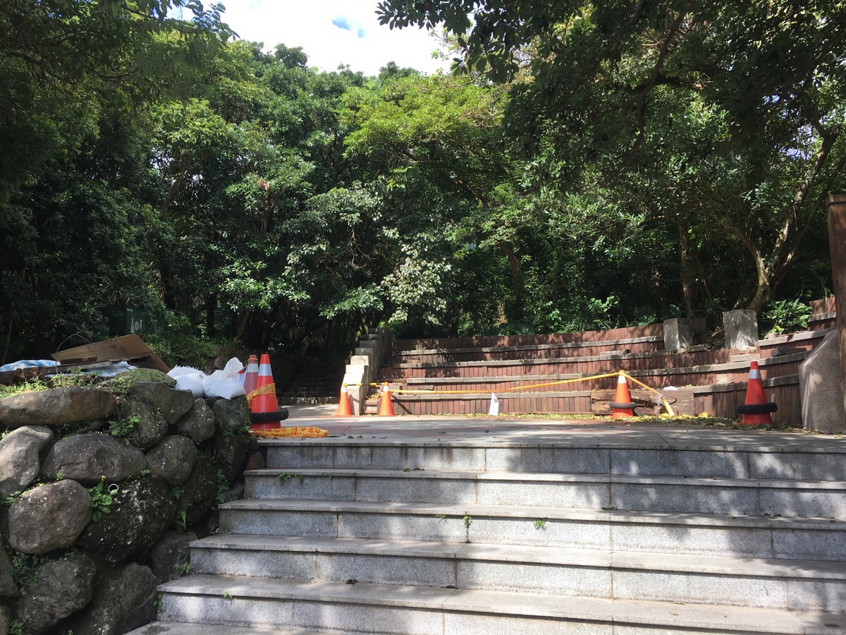
Getting off the bus at Chungshan Hall (中山樓), we continued heading in the same direction as the bus. Actually, we walked into the main bus depo and then under the road to get to the start of the steps, but it wasn’t really necessary to. We could have just carried on up the road until we reached this shelter and the steps.
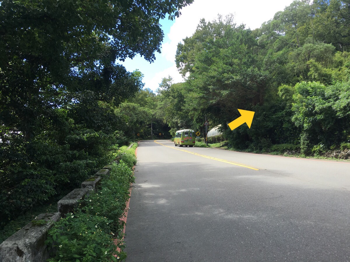
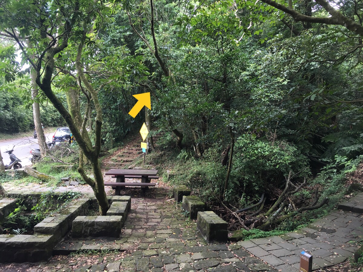
It’s not clearly signposted on the road but as soon as you step in there is a post with the name of the trail written on it.
Follow the path until it reaches Yangmingshan Visitor Centre.
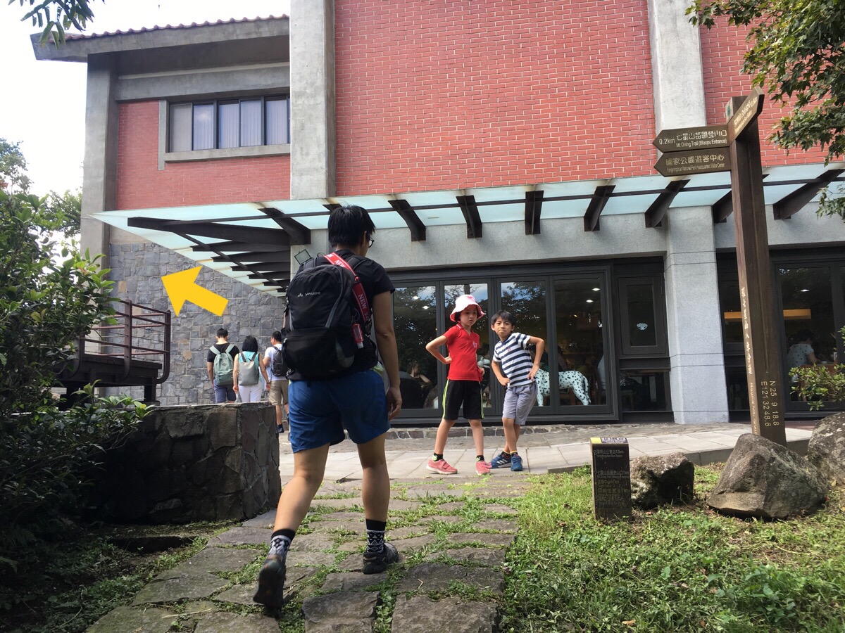
At the visitor centre the signs disappear for a short way but it’s not too difficult to work out where to go.
Head over the car park and walk up a road (I think these trees on the left are cherry trees).
At the end of the road the path stats again—here it’s signposted as Miaopu Trail for a short way.
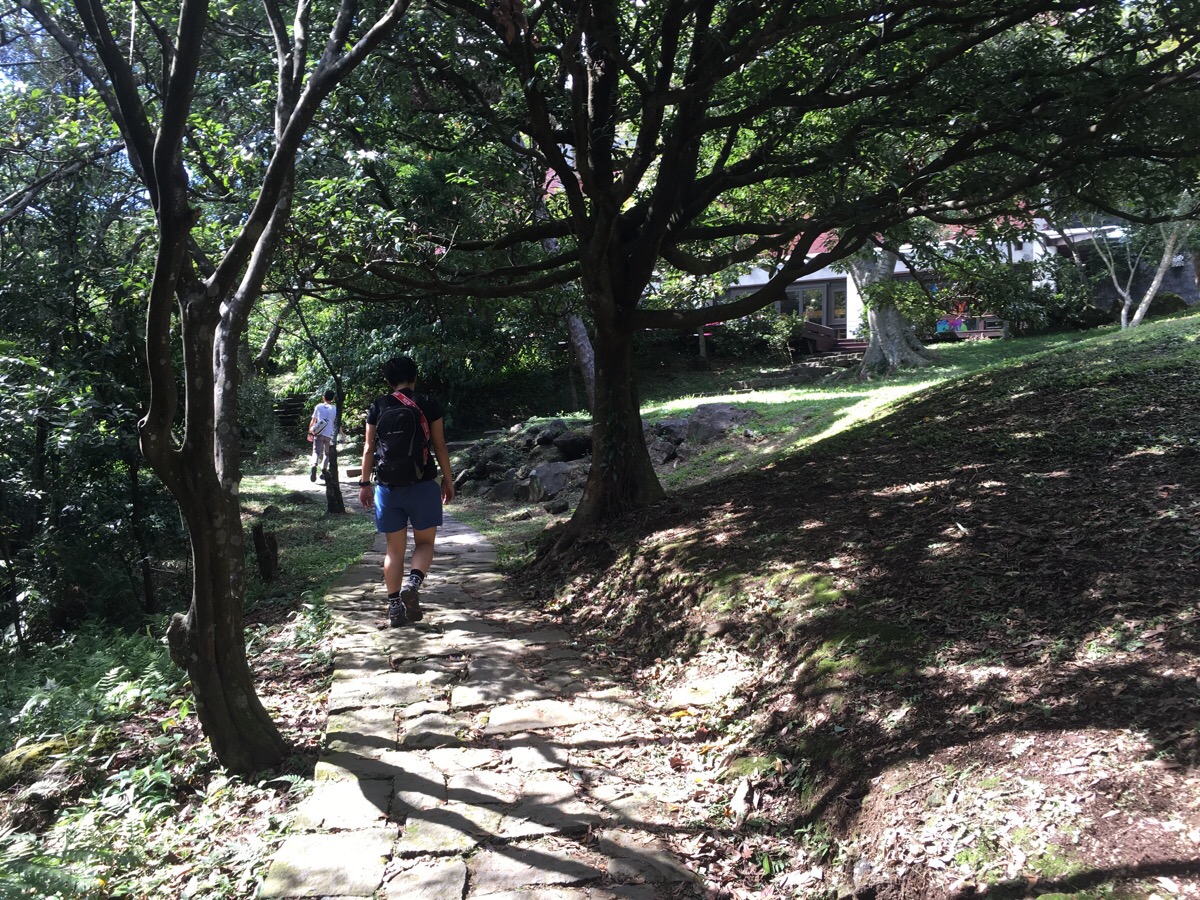
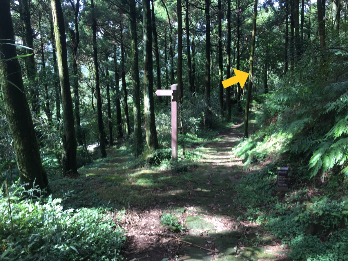
The trail passes a Scout activity centre and then the Miaopu trail branches off on the right. We continued straight on the round mountain trail.
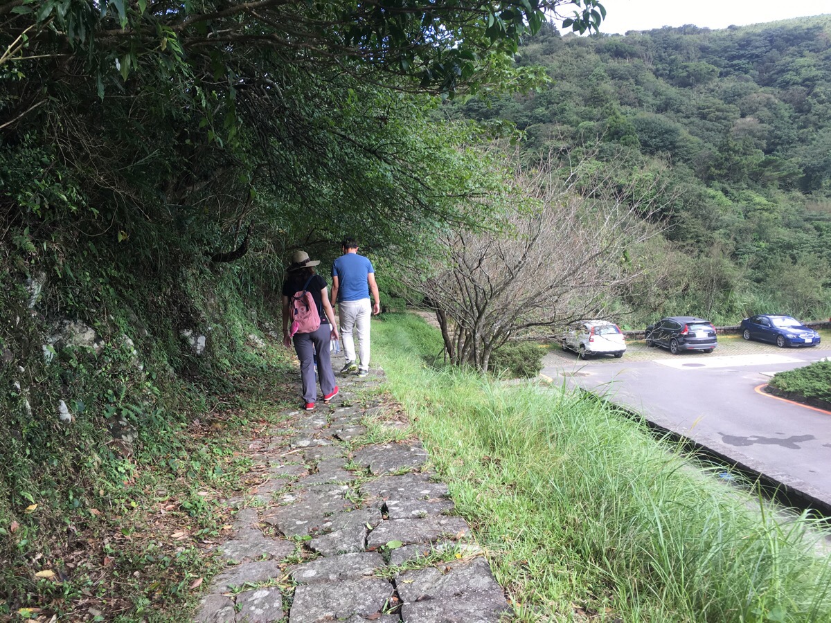
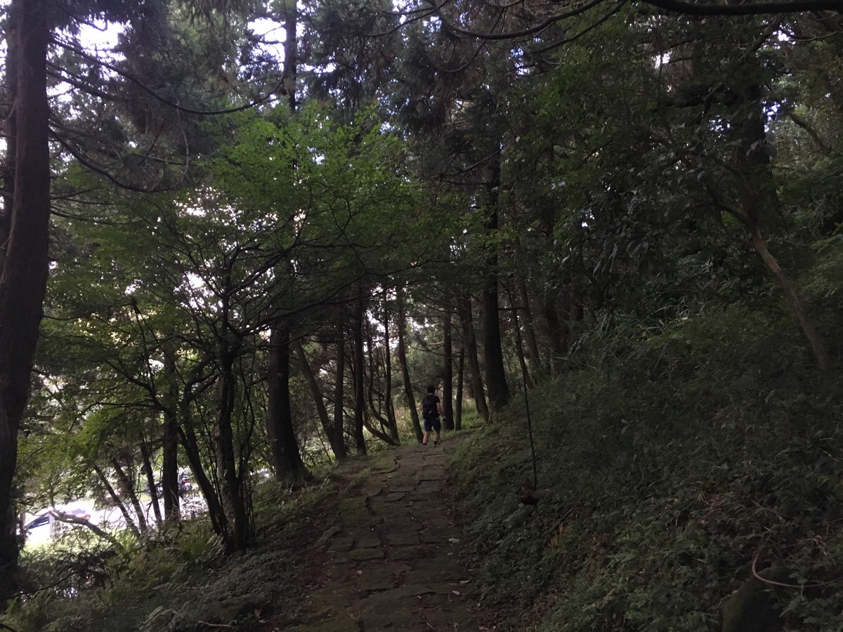
This is the first section where the trail veers away from the road for a bit and the many tourists reduced down to one or two hikers.
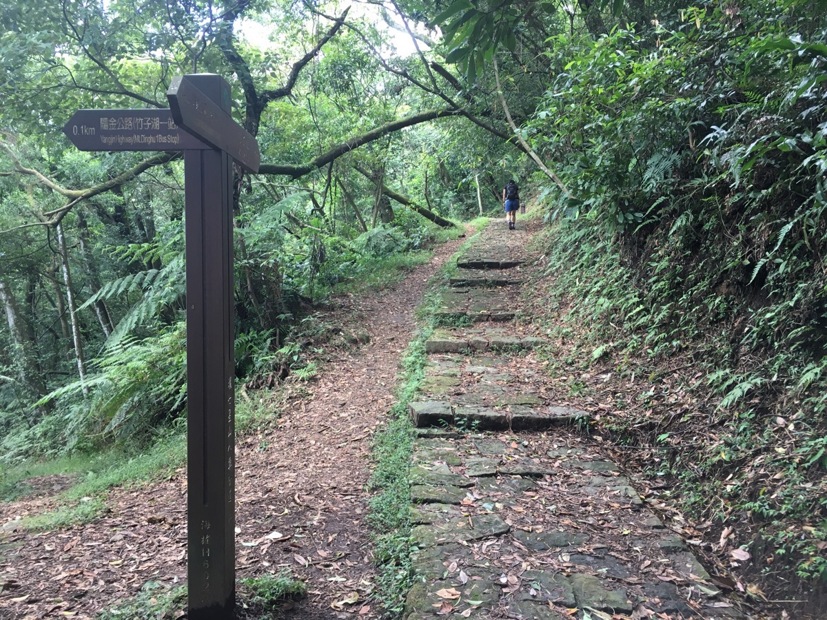
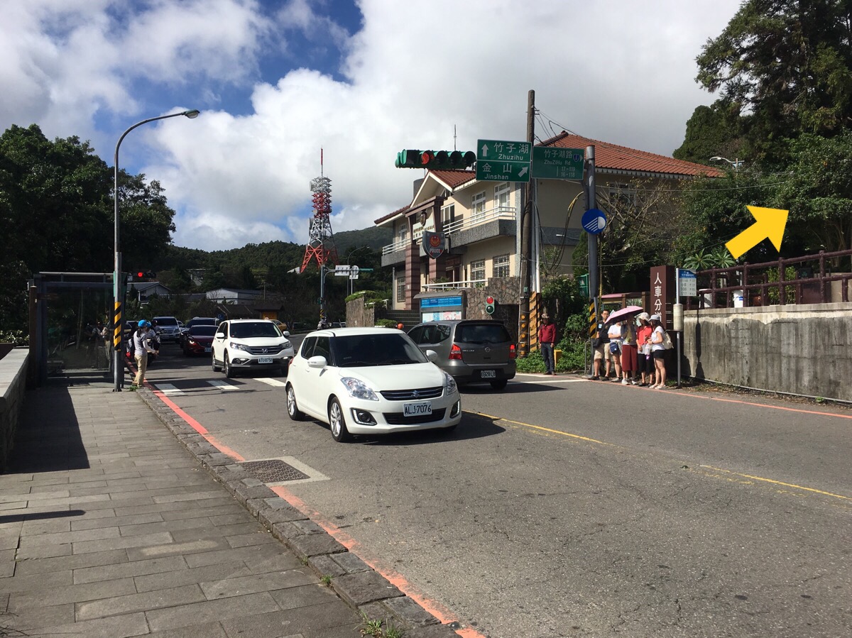
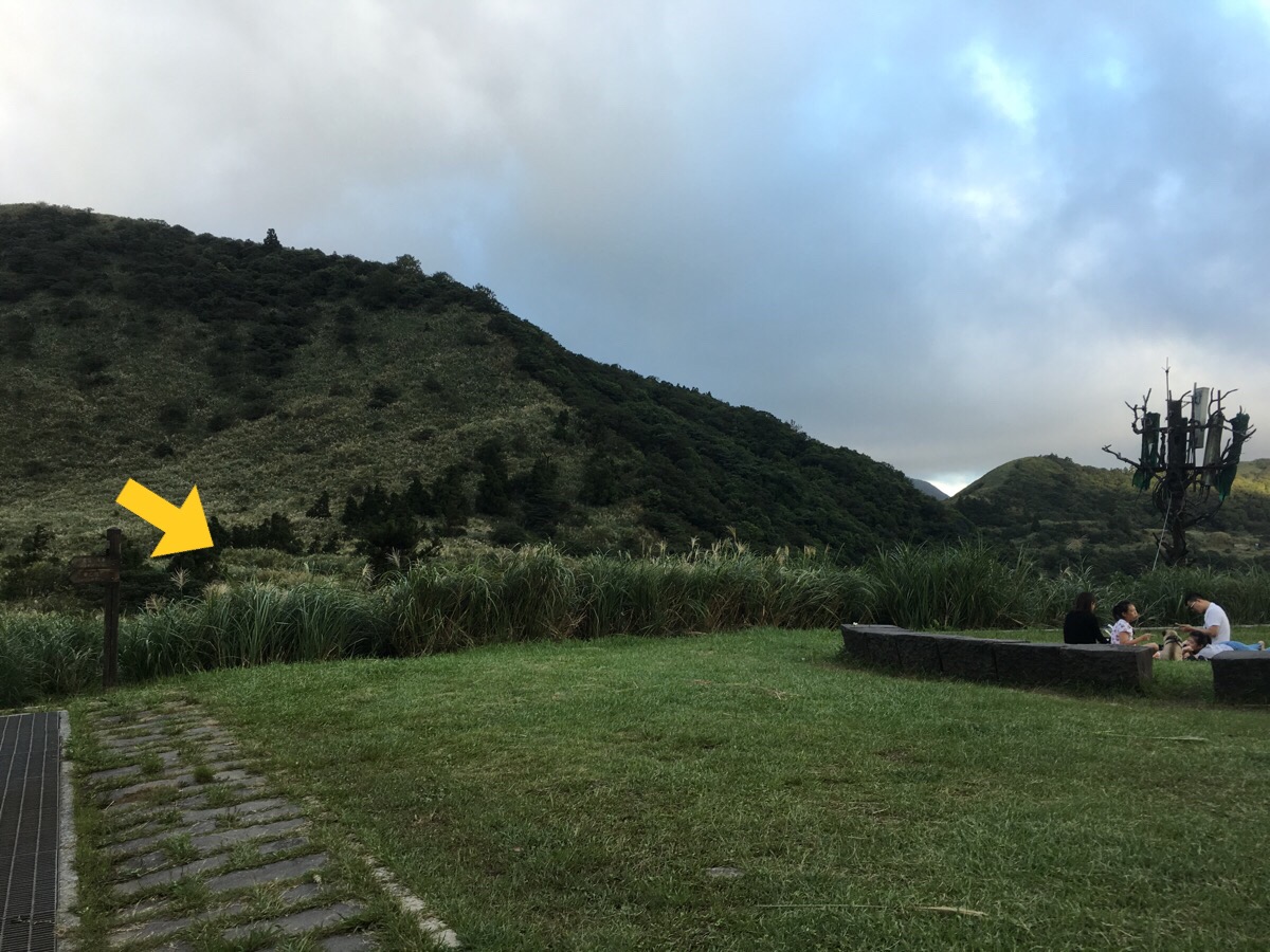
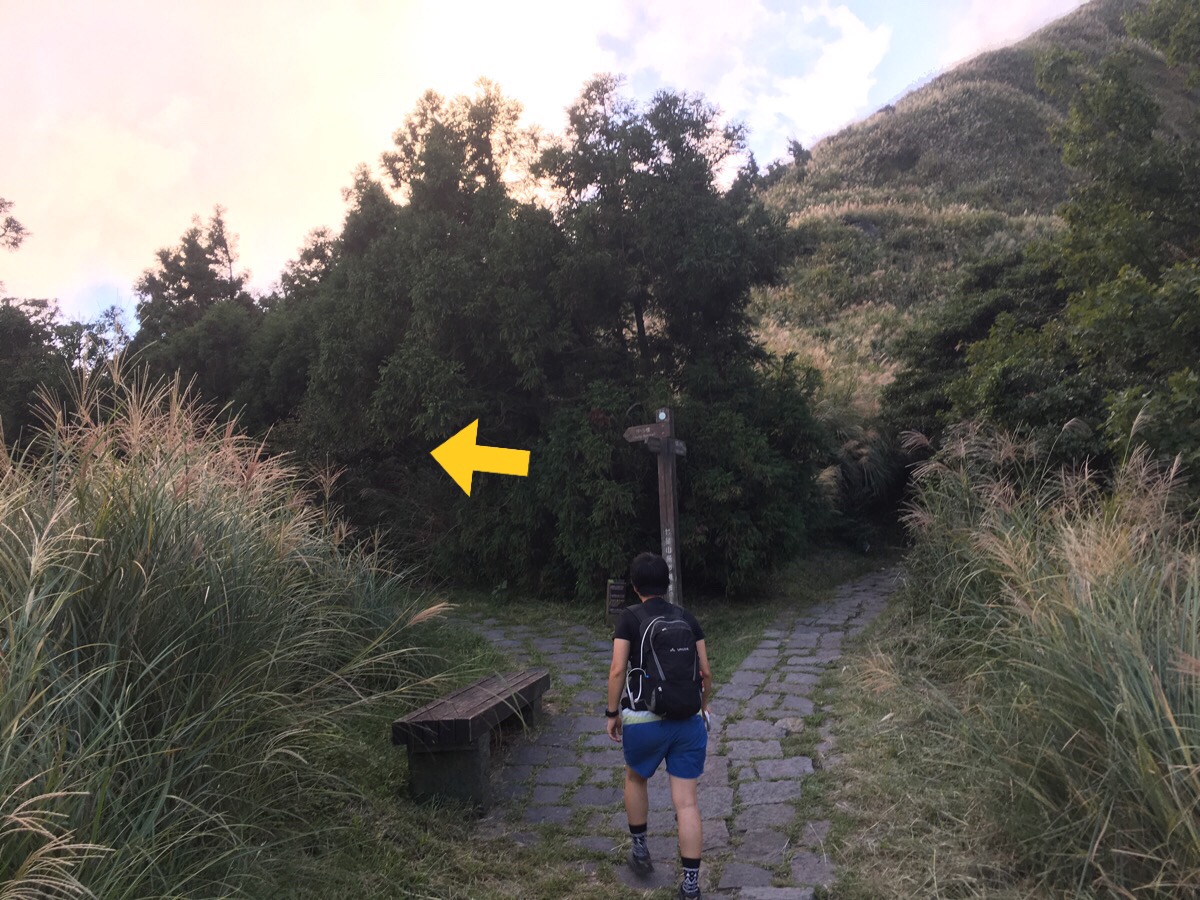
Keep following signs to the next point of interest: Zhuzihu.
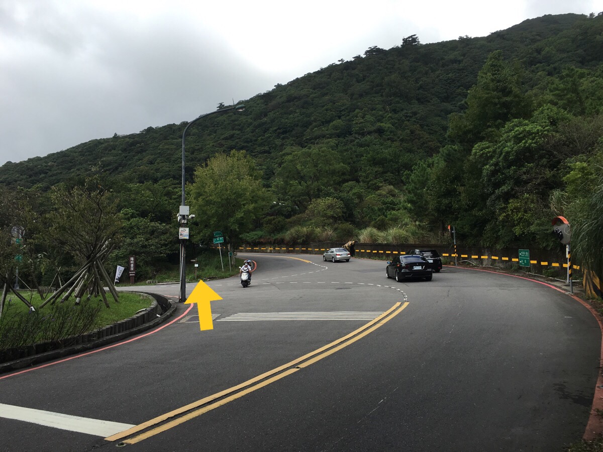
The path emerges at the Yangmingshuwu bus stop, and crosses the road to disappear into the trees on the other side. This next section runs very close to the road, just dipping in and out of the trees most of the way to Zhuzihu police station.
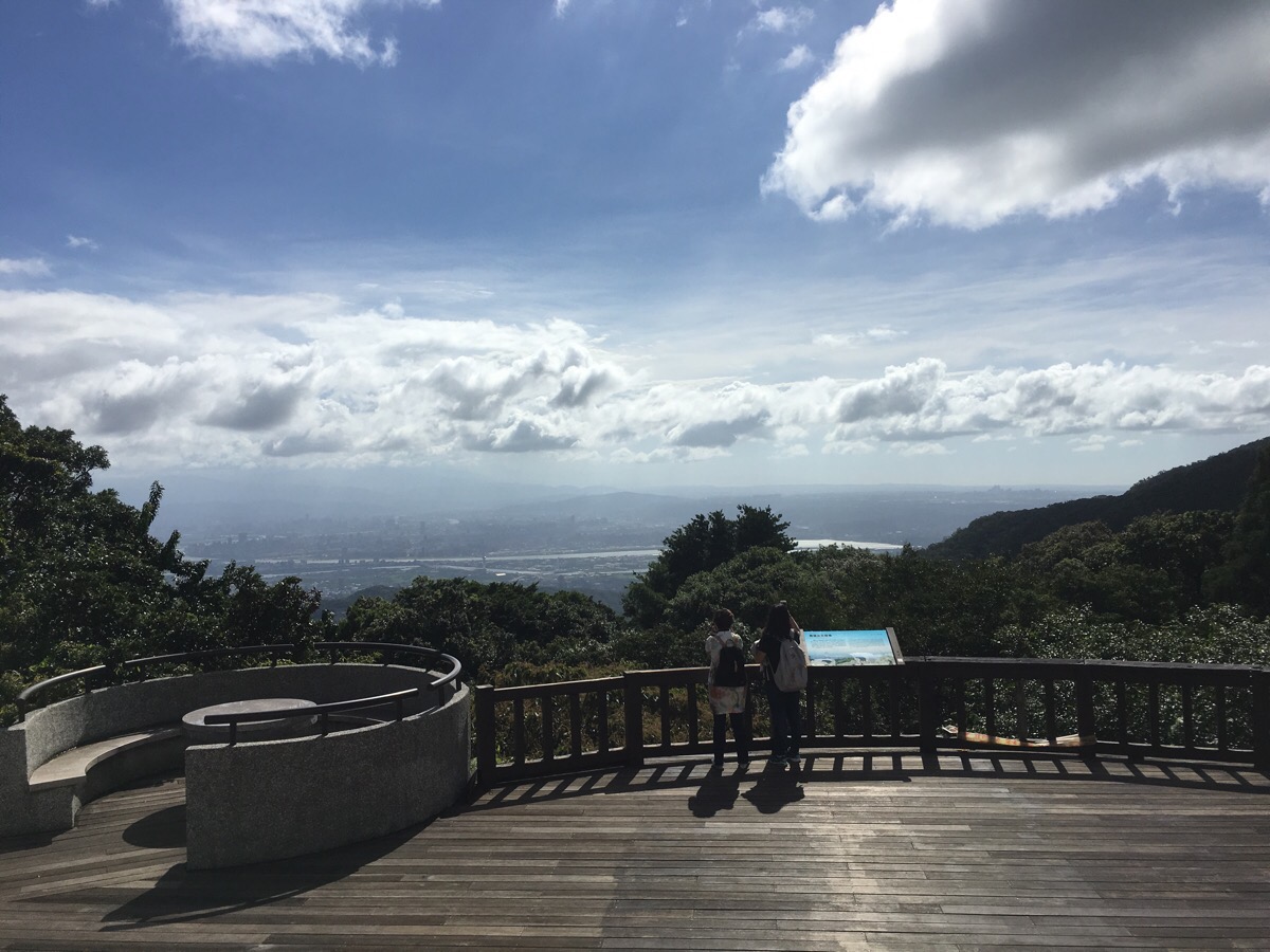
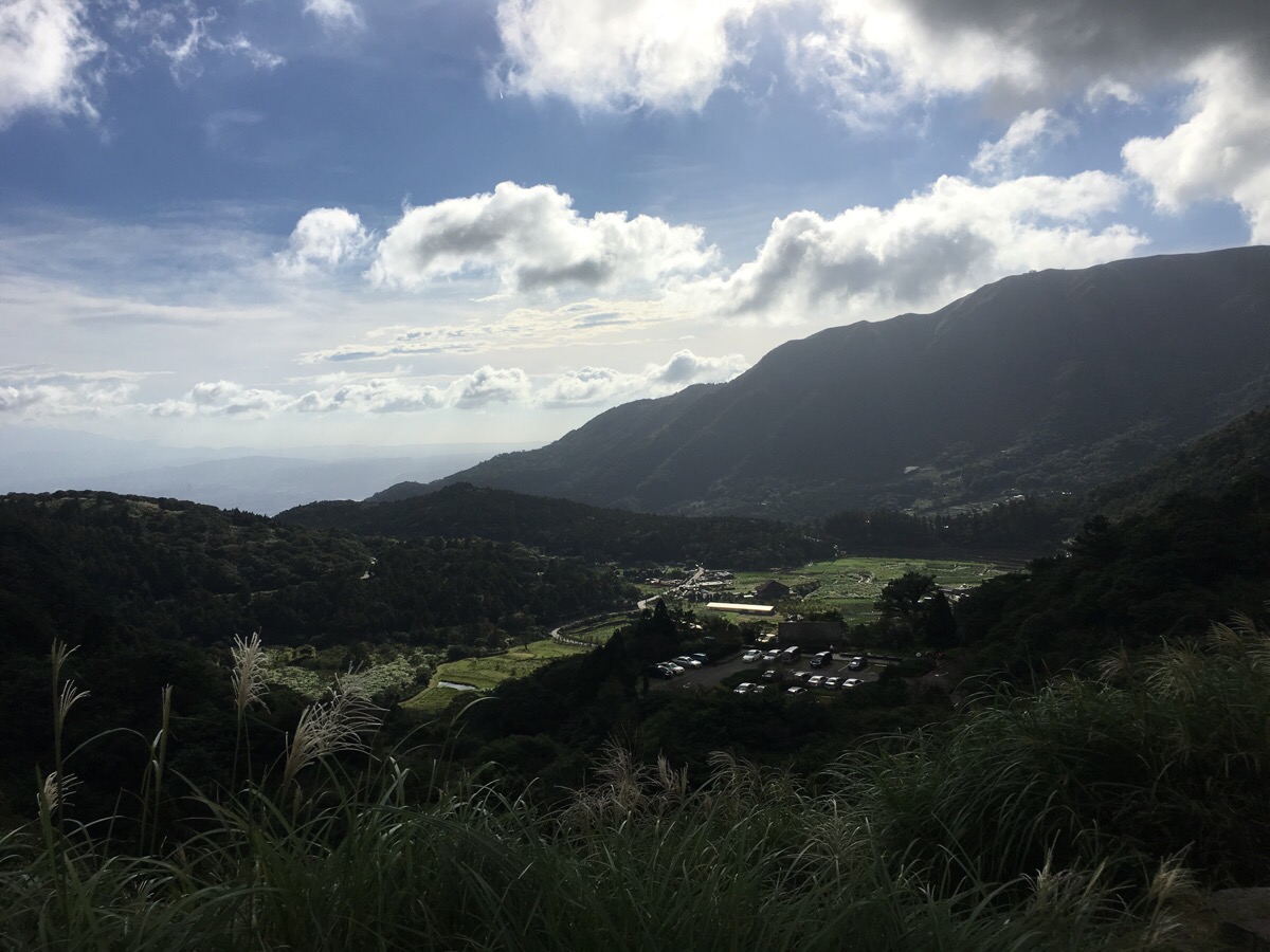
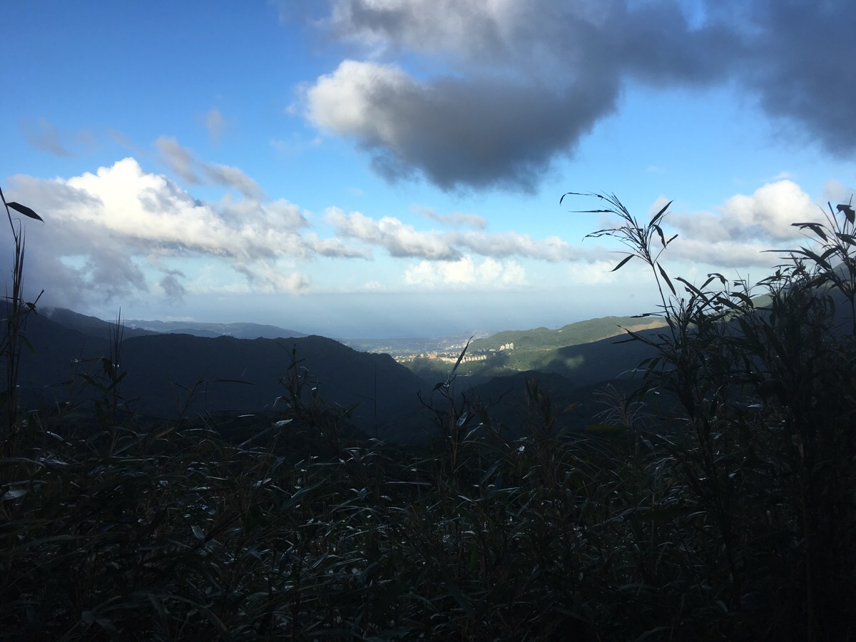
Opposite the place station, there is a viewing platform with views across the Taipei basin. This was the first time I’d been up in Yangmingshan Park in such good weather so I’d never been able to see this before.
The path disappears up some steps next to the public toilets and it goes away from the road again.
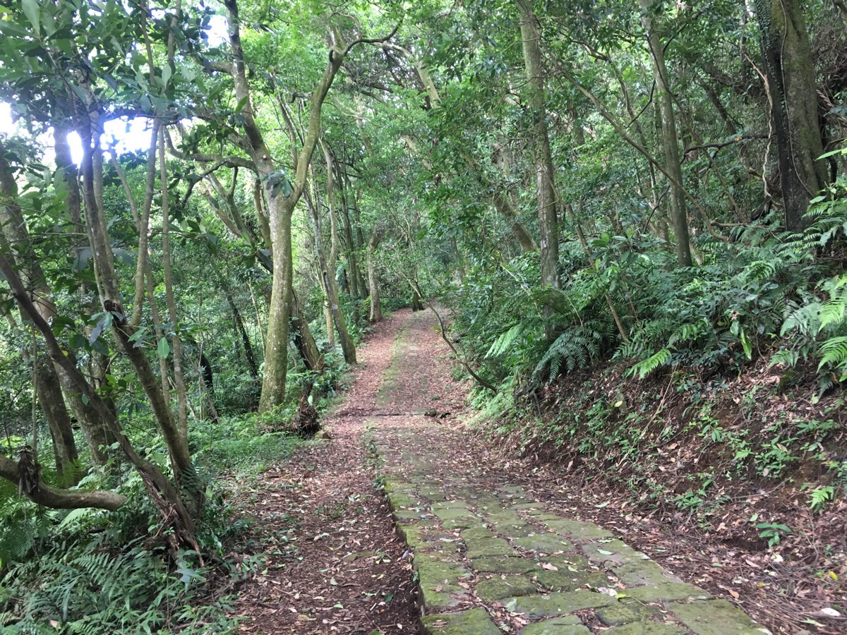
I quite liked the forest along this section, it seems more dense along the northern section of the route.
Once again, the path emerges and you have to dart through traffic to meet it again. Along this section we passed an honesty box selling flowers and lots of lizards – actually, the lizards were all over the whole trail but one this section we met one especially cute baby tree lizard.
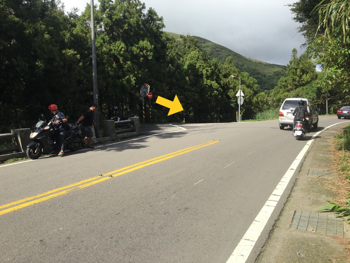
The smell of sulphur starts to become pervasive as the path heads ever closer to one of Yangmingshan’s big attractions: Xiaoyoukeng – once you see the bridge looming ahead of you, you’ll know you’ve hit the bottom viewing area for this impressive natural occurrence.
This point is actually well below the sulphuric, steaming hole but you can stand on a bridge over the pale water and look up at the ominously smoking crater before continuing along the path.
From the base of Xiaoyoukeng, the path runs over a small stream where we stopped for a while and Teresa dipped her feet in the stream – I had spotted a few dragonfly nymphs camouflaged against the bottom and dim childhood memories of being nipped by them prevented me from joining in. At the next point where the path comes out, we crossed over (cutting off a corner), and went through the car park to rejoin the trail.
There are toilets here but they were being manned by a grumpy a-bei who didn’t seem to want people using them.
After a short climb, the path emerges at Xiao Guanyin parking lot and if you stand next to the old concrete bunker, you get a nice view back down to Zhuzihu with the peaks of Miantian Shan and Datun Shan rising somewhere on the left.
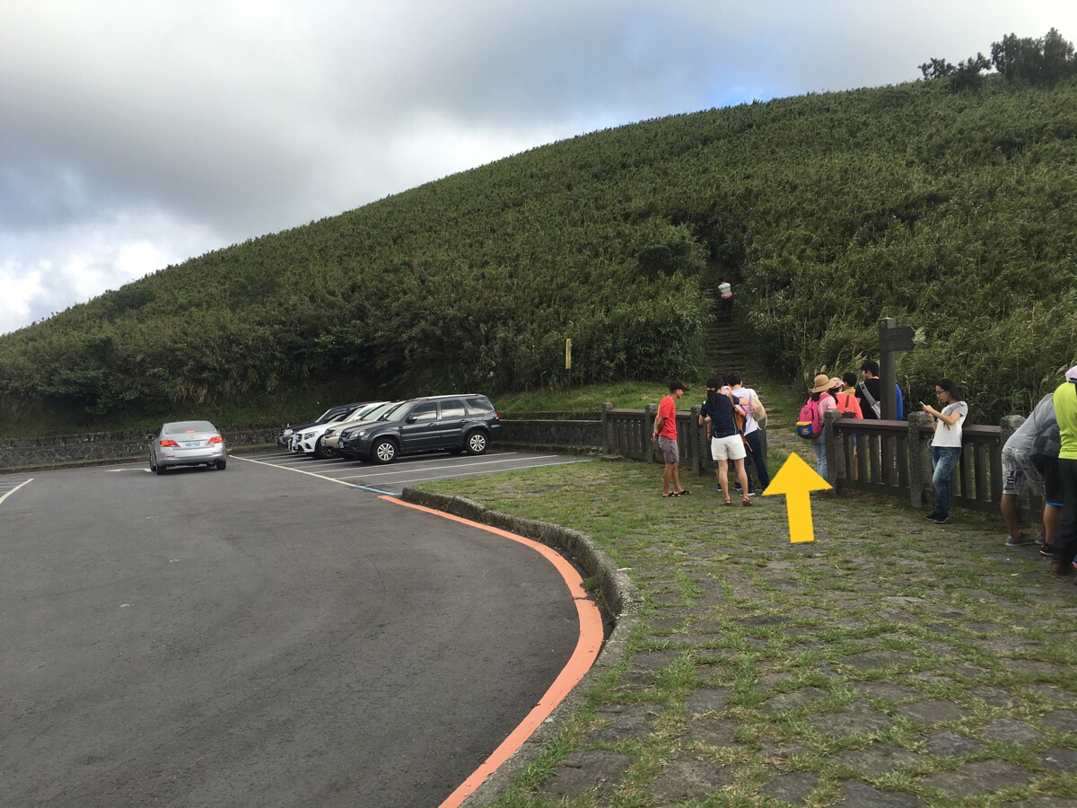
Continuing on, the path climbs out of the back of the carpark.
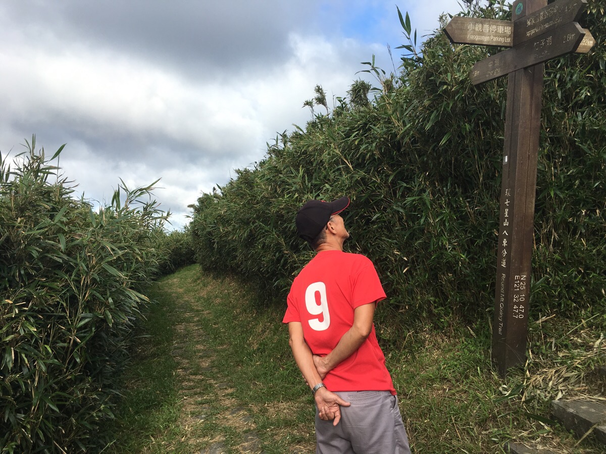
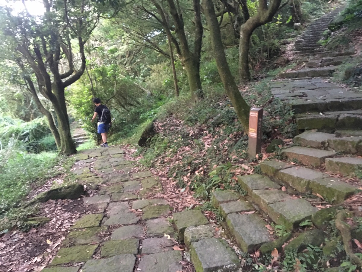
We quickly parted ways with most of the walkers – they all turned right but we continued on straight through an interesting bamboo corridor. The smeuses disappearing into the plants on either side hinted at the hidden bamboo partridges that we’d seen around this area before.
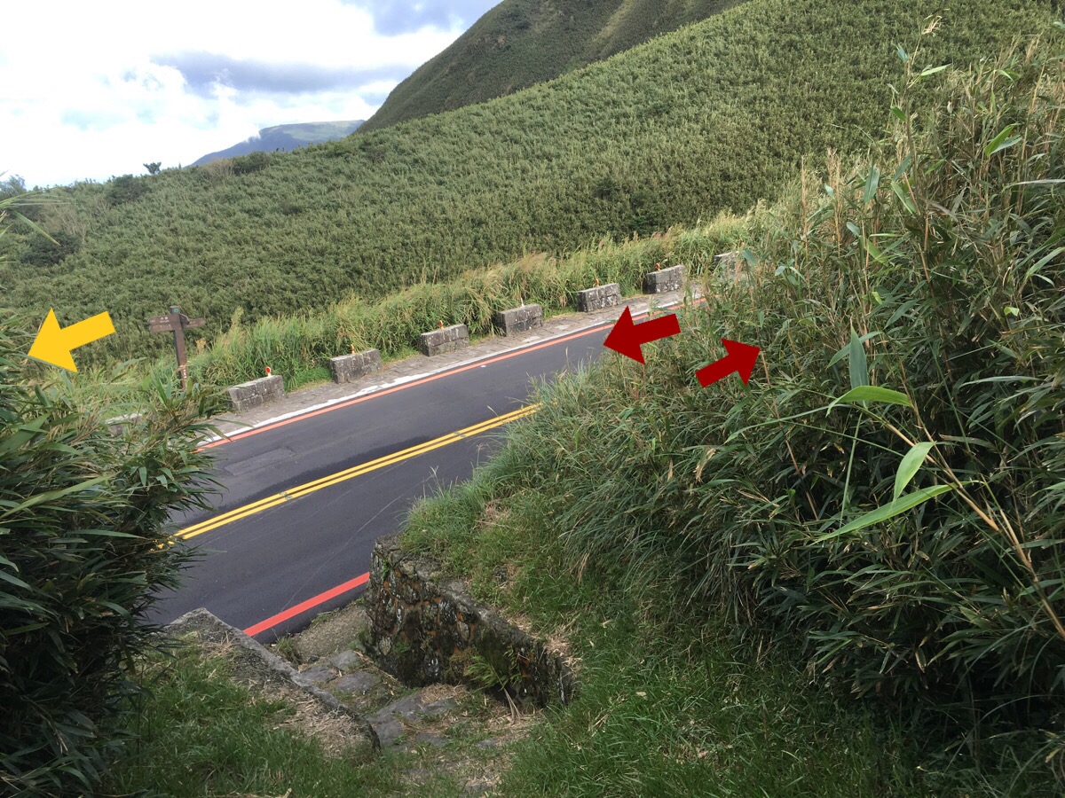
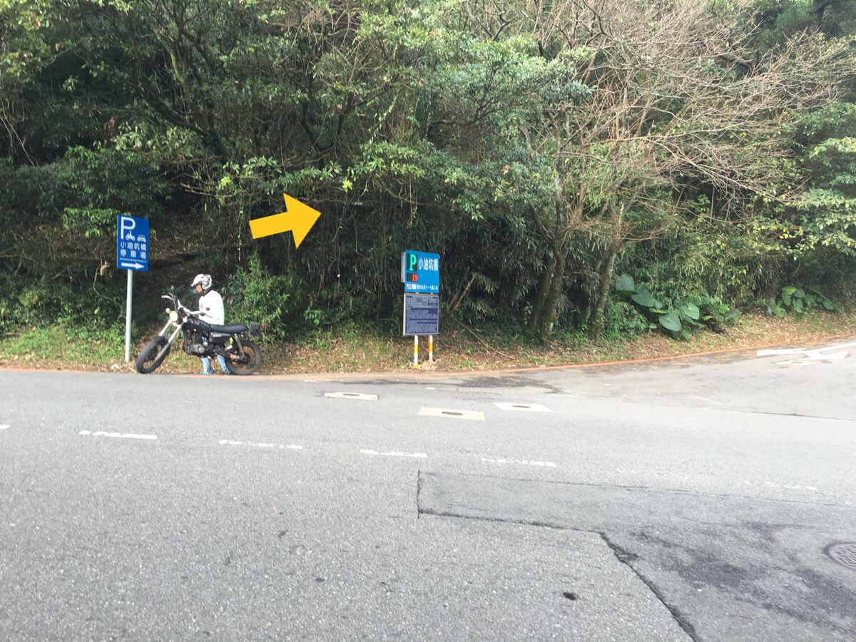
Where the path next meets the road actually we needed to go left to keep on the round mountain trail, however, we decided to make a pit-stop at Xiaoyoukeng Visitor Centre. Here we were able to sit inside and enjoy an ice cream together as well as get some snacks to go, (the carrot crackers are way tastier than they sound – I can’t believe I’ve not encountered them before). Despite the good weather, the temperature up here was a fair bit cooler than at city level and the added wind made me quite glad that I was wearing long sleeves.

After enjoying a short sit down and rechecking the map we calculated that we’d have to pick up the pace a bit if we were to complete the whole trail before sunset and so we headed off again (back the way we’d come) to do the most beautiful stretch of the walk.
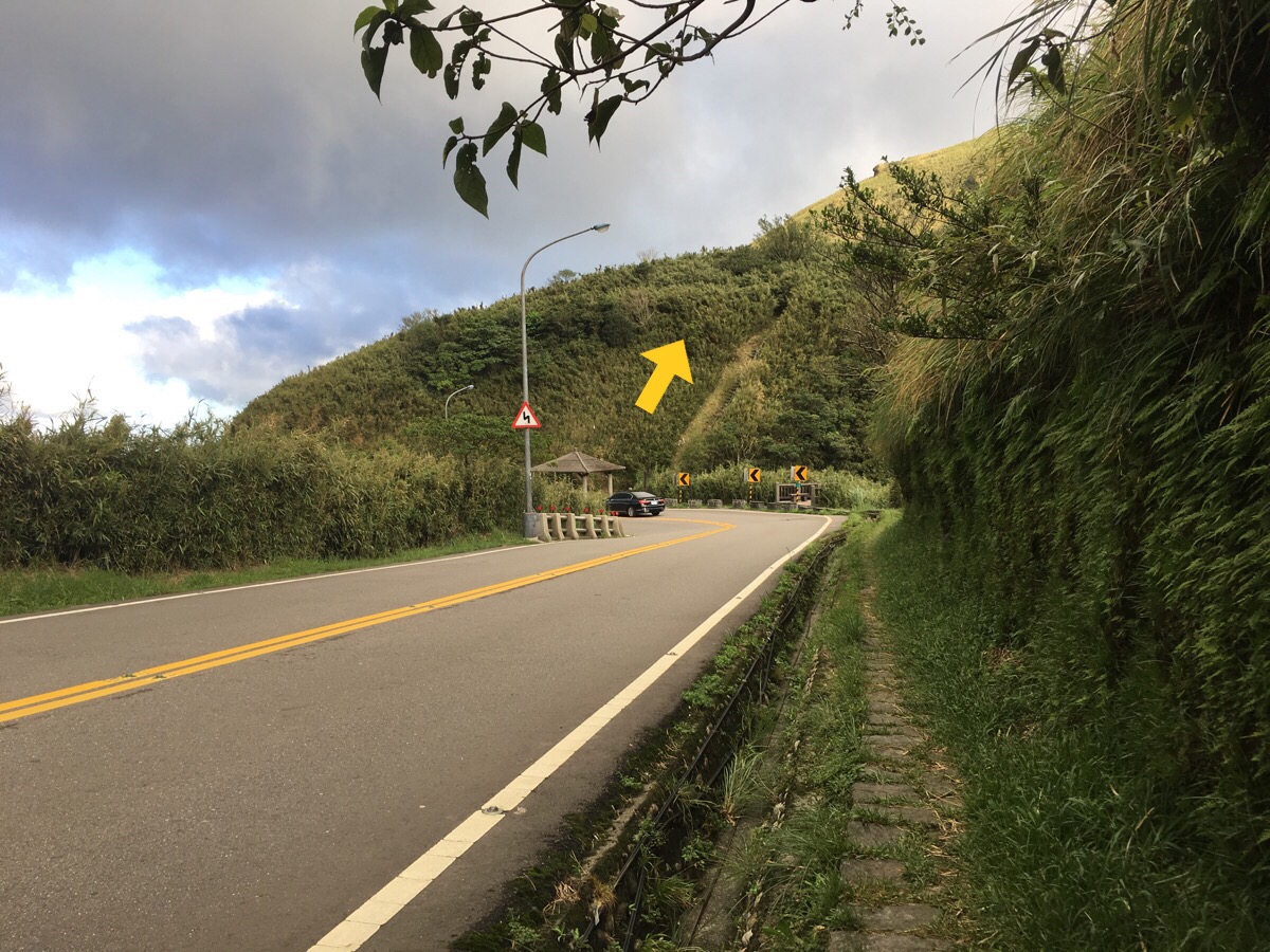
A short, steep climb takes the path away from the road.
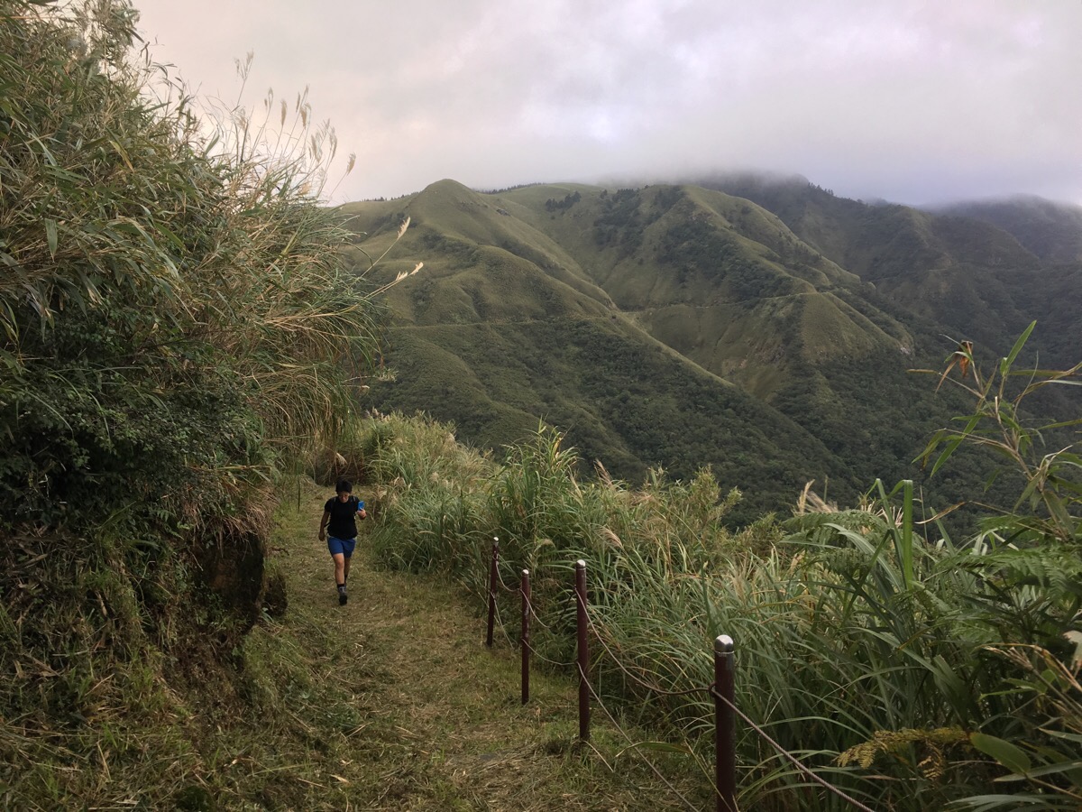
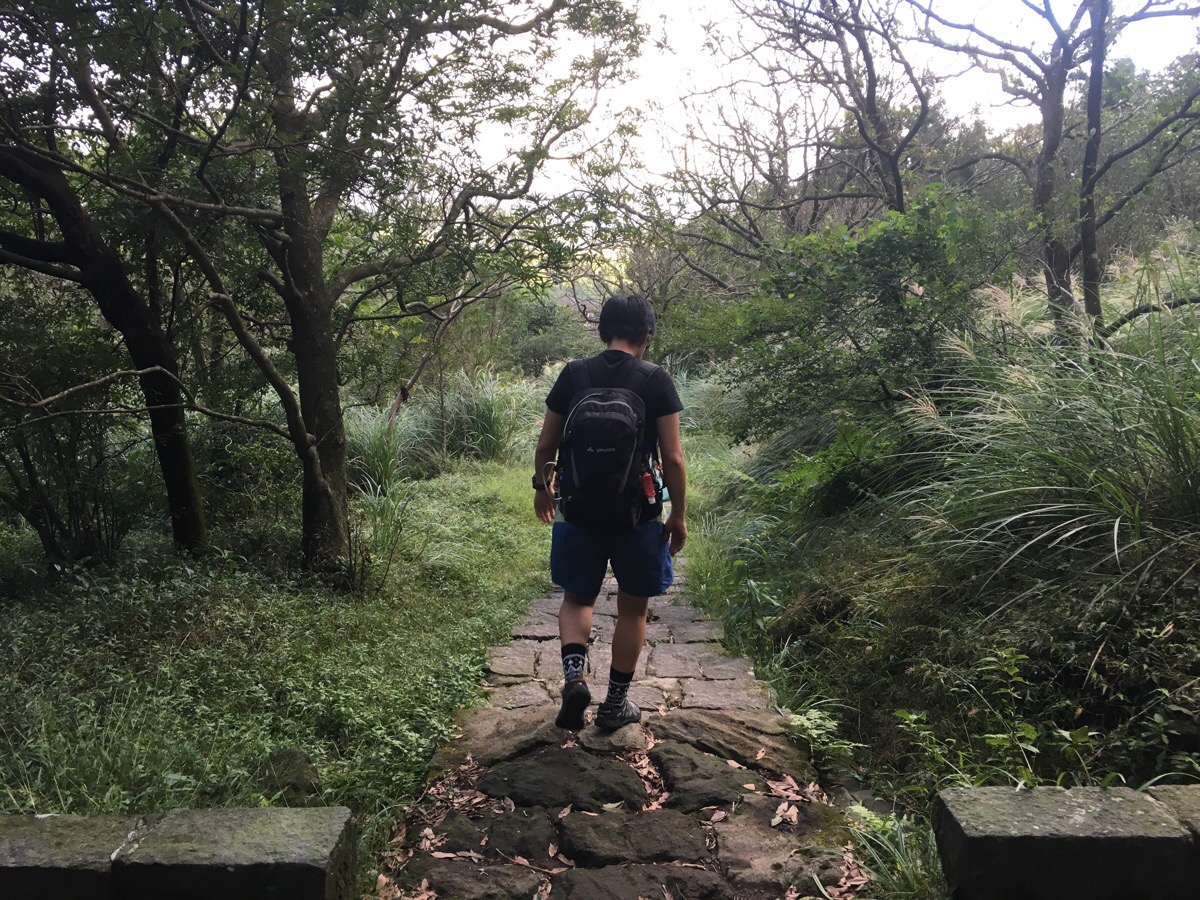
Then you follow a grassy trail with lovely views to the left over towards the opposite side of the valley.
As the trail curves a little, it’s even possible to catch sight of the buildings of Jinshan district over on the northeast coast. After a while, you’re spat back out onto the road and although I didn’t really like this section because of the lack of path, the views were still lovely.
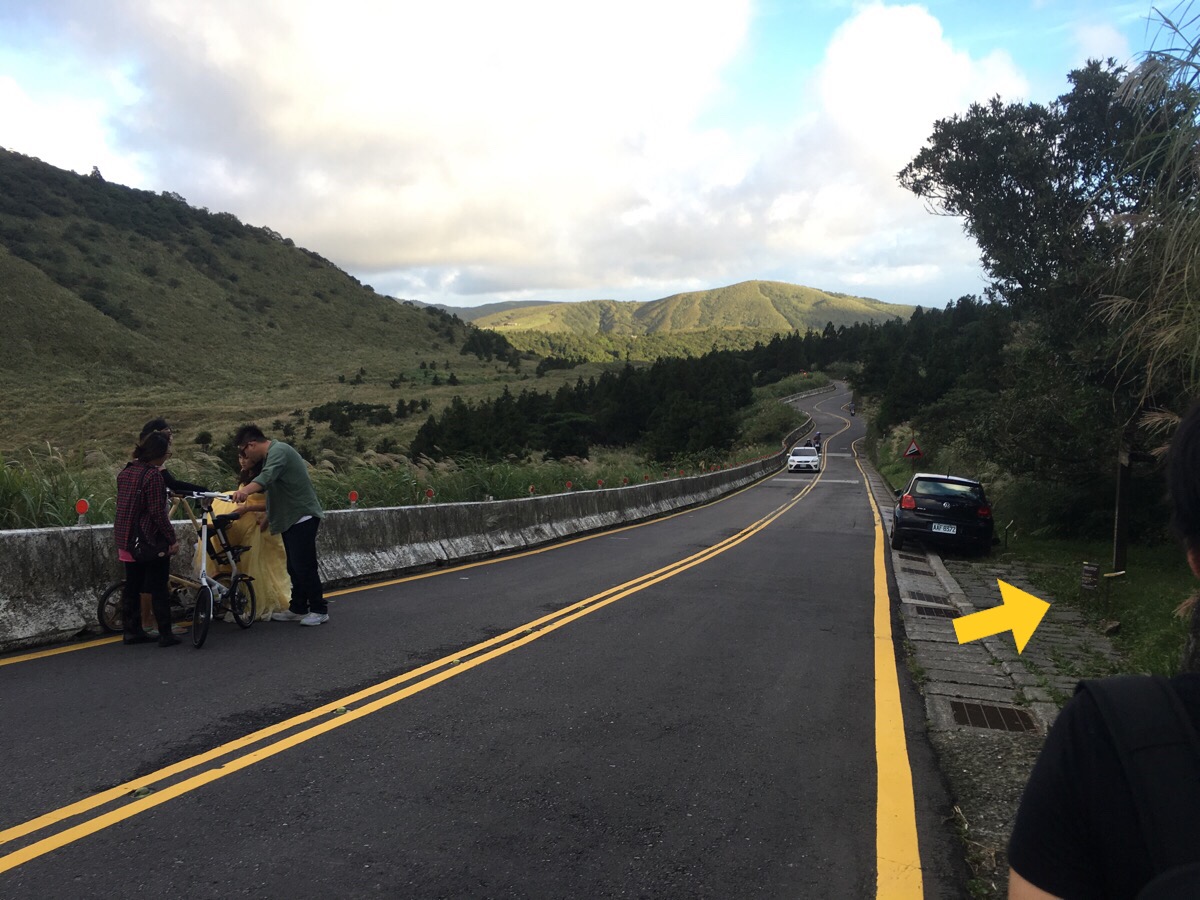
Fortunately the road section isn’t too long and we were soon able to get back on a path (after watching a couple struggle to get wedding photos taken on such a busy road).
At the next junction we turned left into the carpark (but actually I think both left and straight get you to the same place). There are toilets here.
The path exits down at the far end of the carpark.
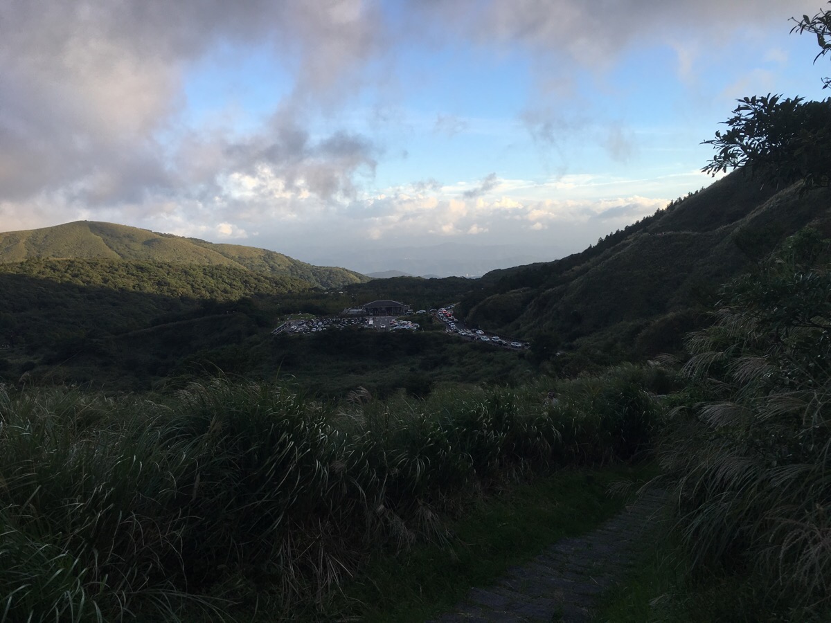
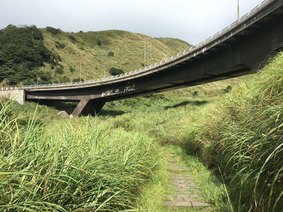
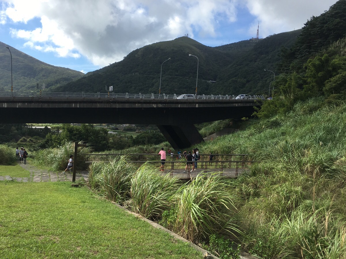
Here you can see over towards Lengshuikeng Visitor Centre and beyond it on the left you can see Jingshan Suspension Bridge and grassy slopes of Qingtiangang.
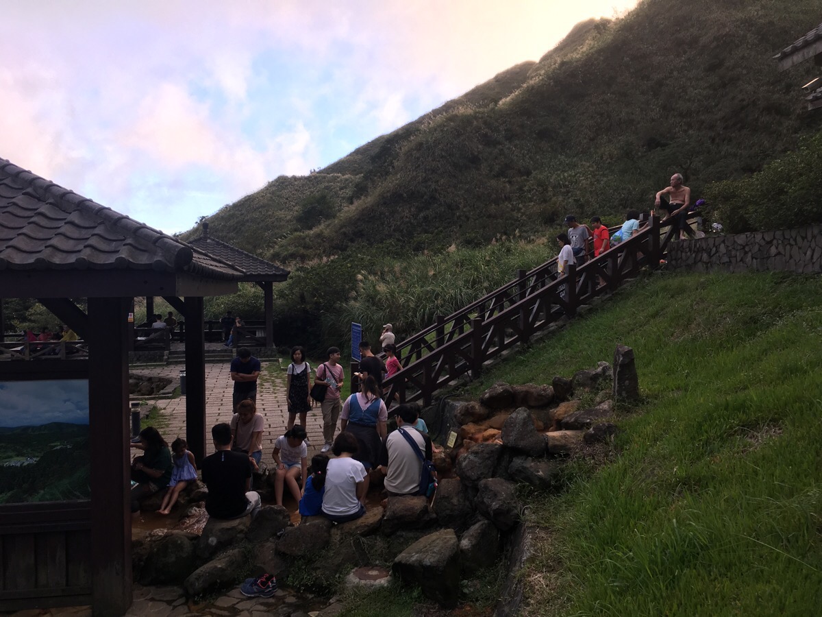
The path drops down behind the police hot springs of Lengshuikeng – if we’d had more time (and there were fewer people), we would definitely have enjoyed dipping our feet in the waters outside – but we were time-pressed and the national holiday meant that there were loads of people there.
So we kept on instead, following the road towards the visitor centre. (I believe there are more toilets here as well as some refreshments.)
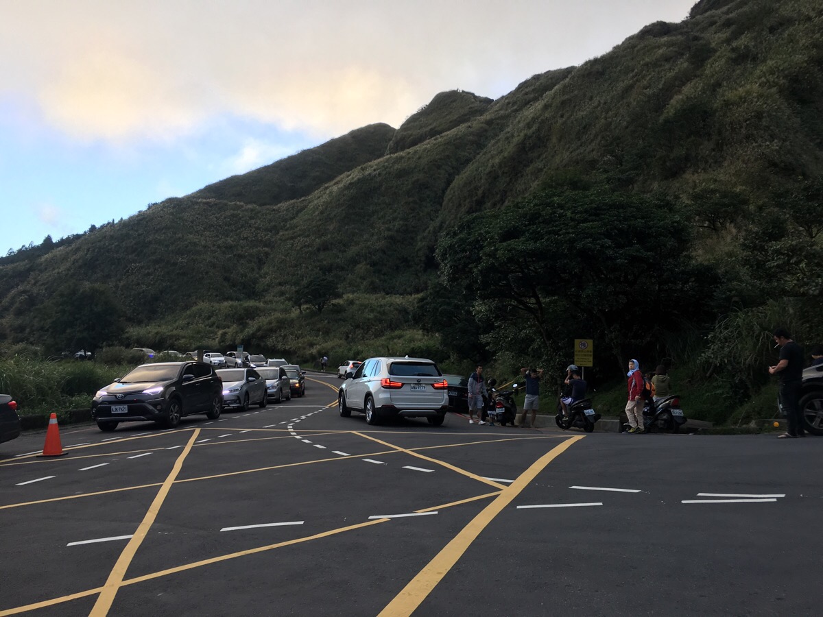
As we passed the visitor centre carpark we watched the over-full buses carrying park visitors back to the city and I felt rather glad to be continuing on by foot.
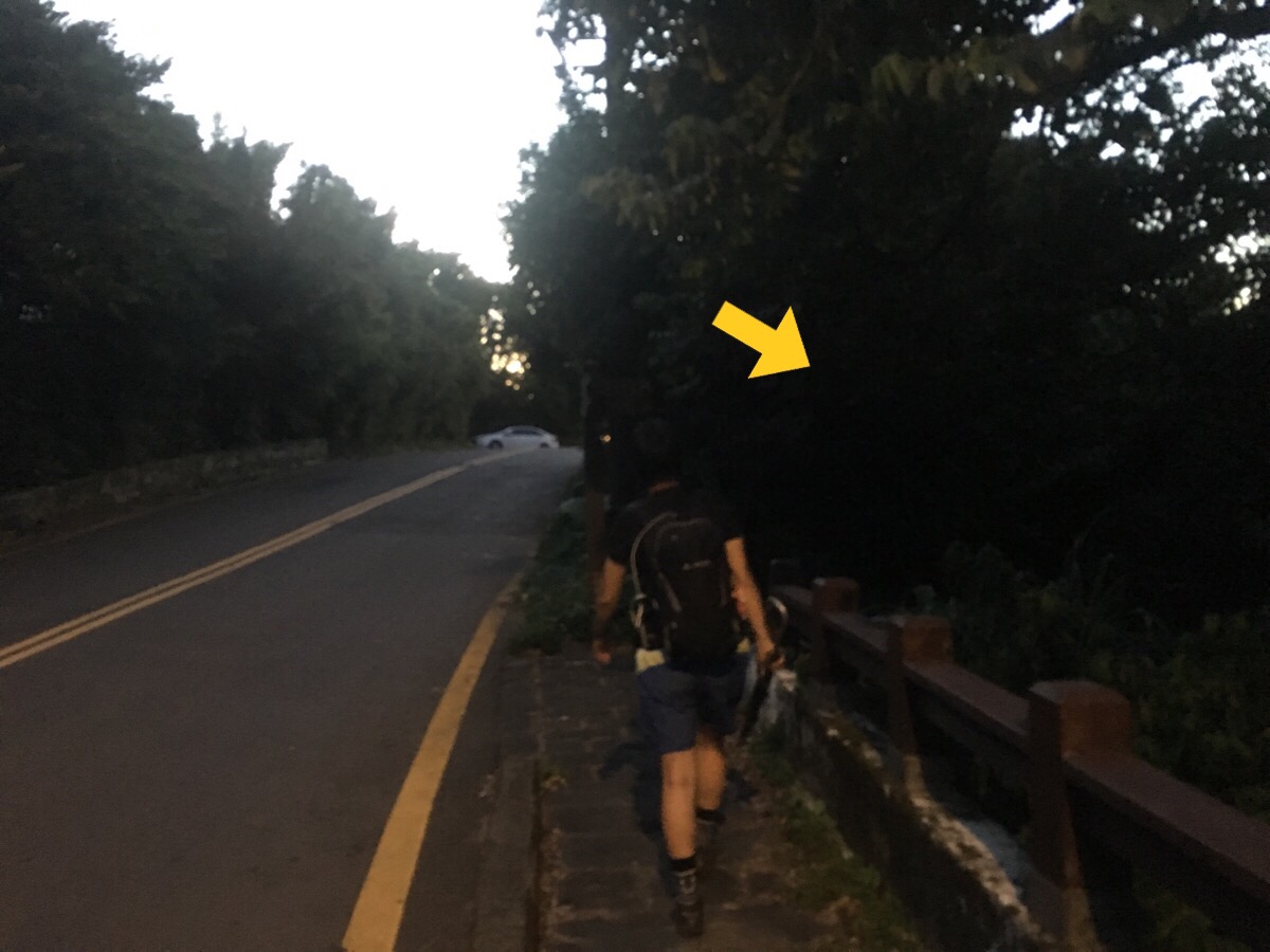
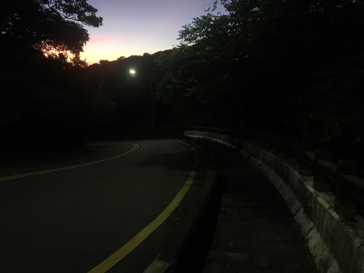
At a little after 5pm, (and 3km yet to go), the light started to dim. Looking at the map, it seemed that most of the walk would be road walking, so we decided to continue despite not having lights with us.
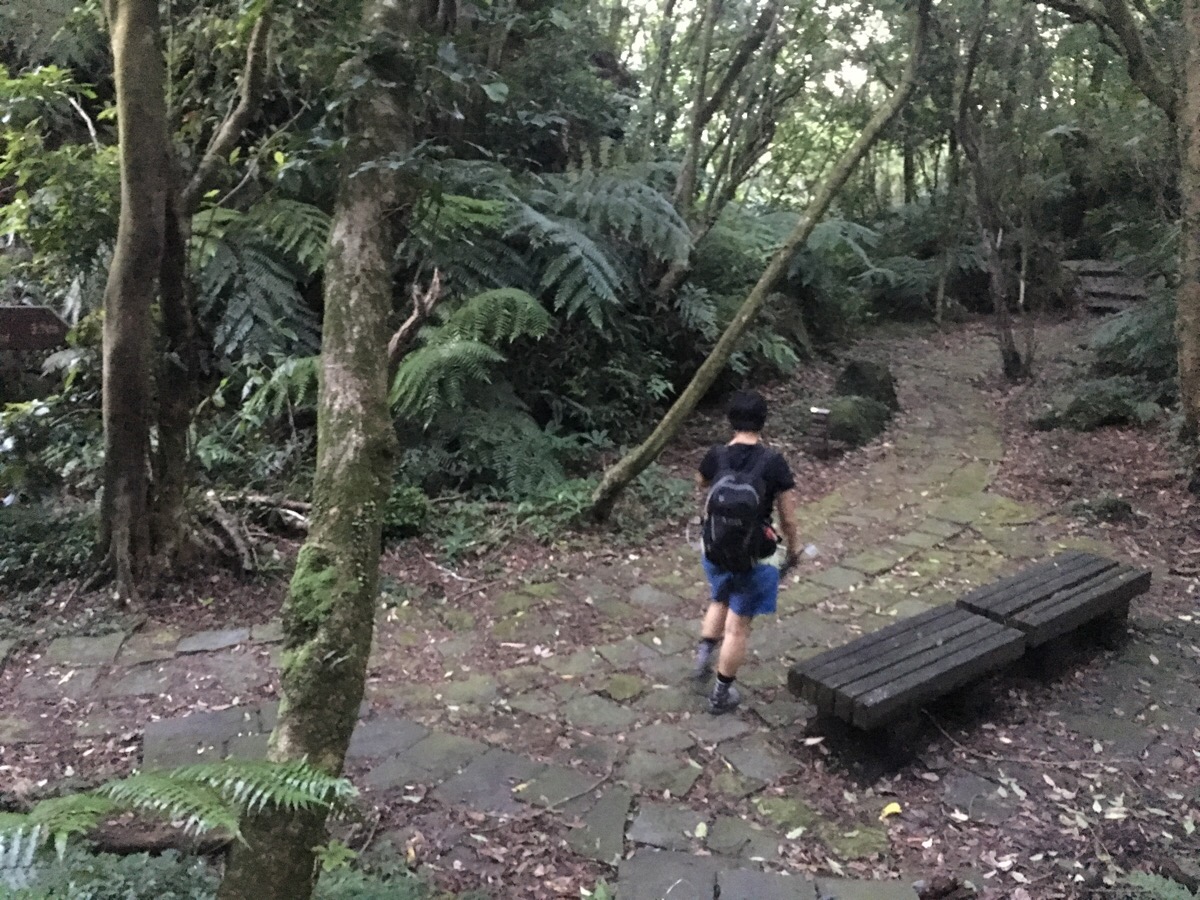
The more wooded sections became a little harder to traverse, but our eyes had adjusted with the light so we were still ok.
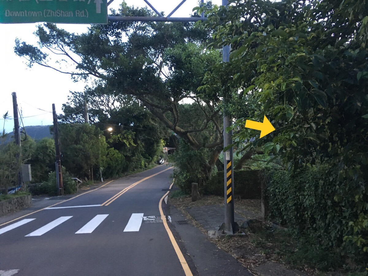
The signage here was really easy to follow.
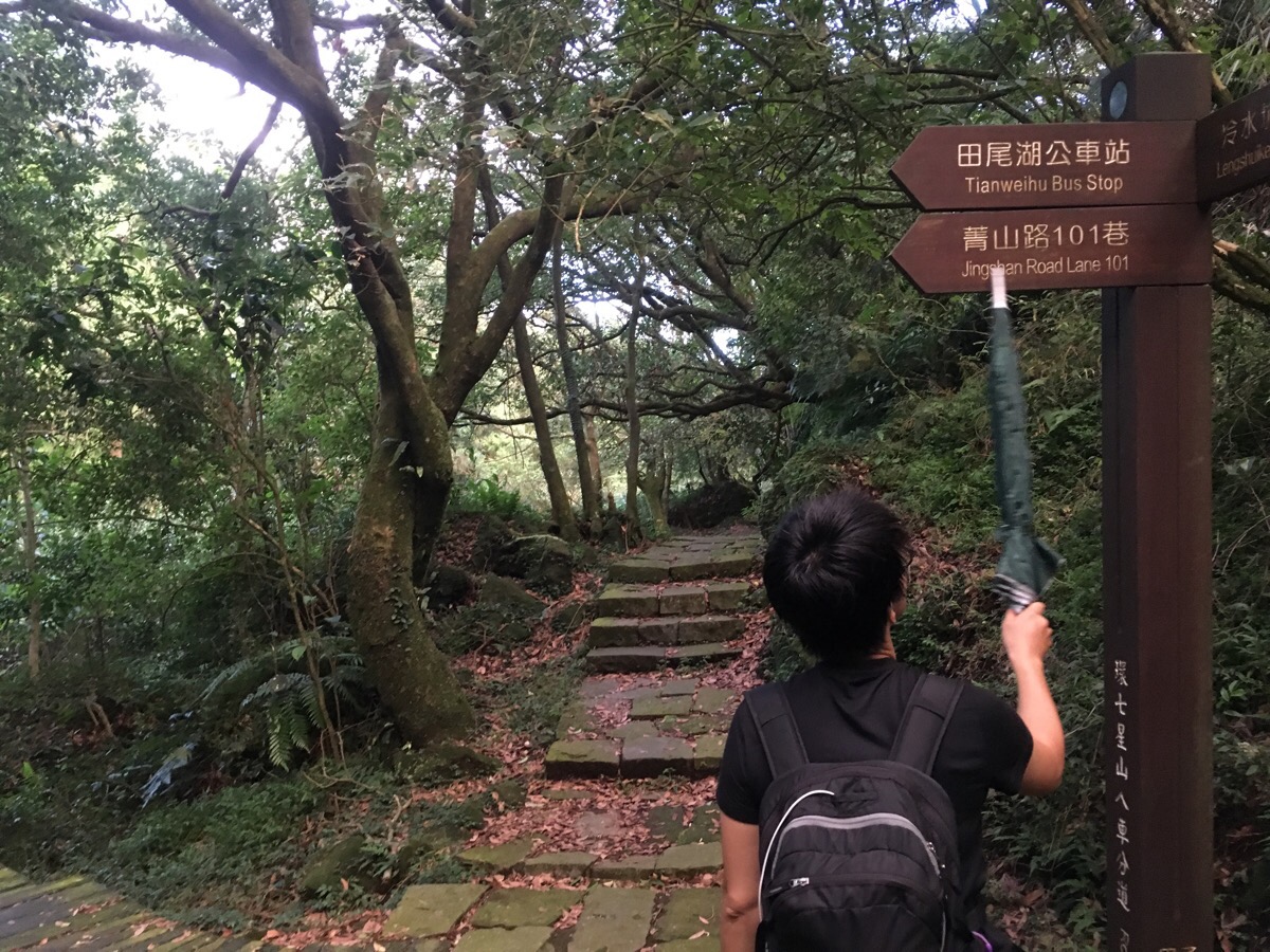
We just kept following signs towards Chungshan Hall (straight on in this picture, not left).
We even passed another couple of hikers heading in the same direction but they were planning to stop sooner than Yuanshan.
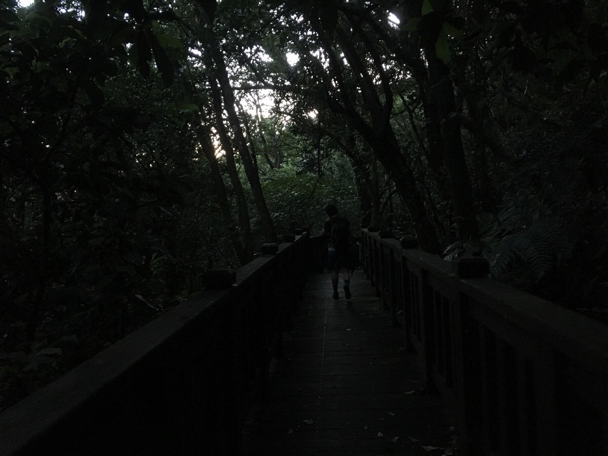
As the path entered a wooden bridge section, we really started to feel the absence of light.
But before long, we were on the road where we were aided by streetlights.
This shortcut is not really worth it’s. It just cuts a corner. Then the path runs along the road – there is an actual path but it is in disrepair so we had to walk on the road itself.
By the final section away from the road, it was 5:45 and properly dark in the trees but we reasoned that at only 200-300m we’d be ok. I’m glad we did because a mere 20 metres off of the road we spotted a MacClellend’s Coral Snake.
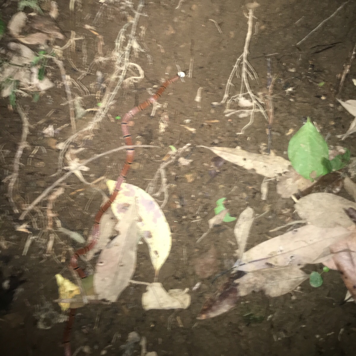
I couldn’t get a clear picture because the thing zipped away pretty quickly but it was cool to see one. These snakes are in the protected category below dangerous in Taiwan.
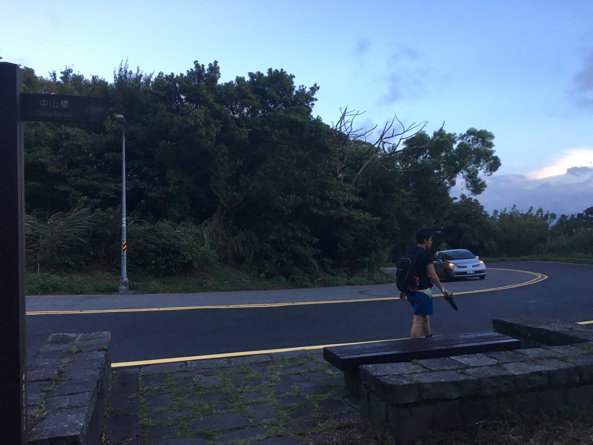
After finishing the path section, it was back onto the road for the final push.
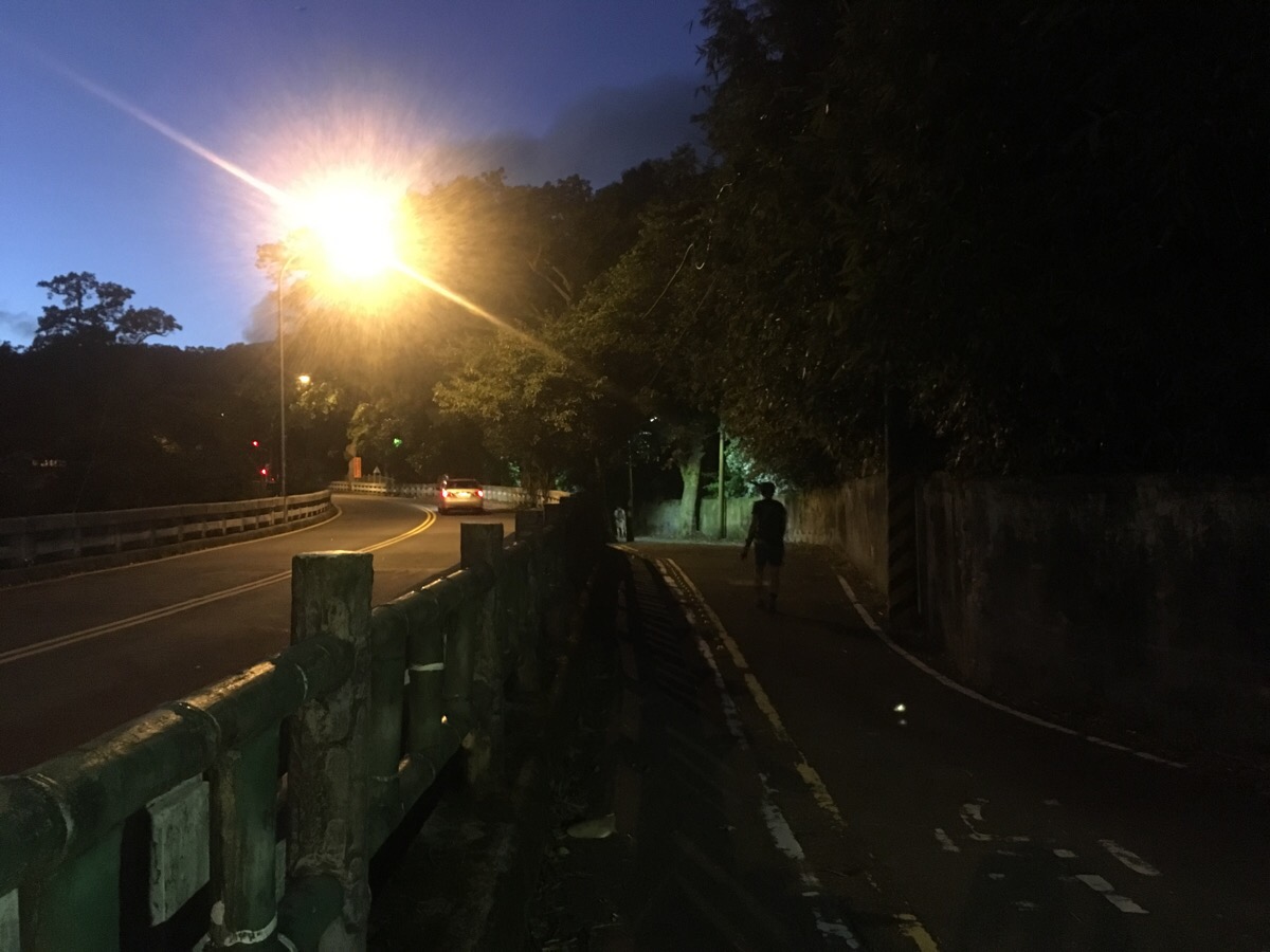
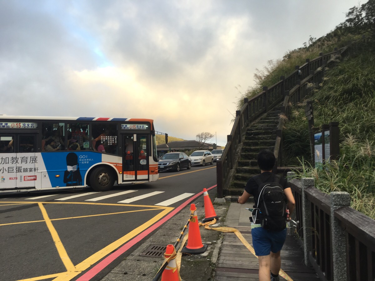
We opted to walk on the side street rather than the main road since there was less traffic – the road comes out right next to the bus stop where we started so we crossed the road and waited for the next bus back to Shilin.
How to get to Qixingshan Round Mountain Trail
Google Maps address: Chungshan Building, 112, Taipei City, Beitou District – we started from out the front of this building but you could just as easily start and finish from any point around this loop. In the end it worked out quite well for us to start here since it meant that as the night came down around us we were closer to street lights.
GPS location: N25 09.079 E121 32.975
Public transport: there are a whole load of buses which run up here from Shilin, Jiantan or other stops along the red line. We took the 260 but the 1717, 111 or R5 are all possibilities. Likewise you can get out at the Chungshan Building stop or stay on most of them to the Yangming Mountain bus terminal which is only a stop or two further.
Nearby trails:
- Juansi Waterfall
- Qintiangang
- Taipei Grand Trail – Section 2
- Taipei Grand Trail – Section 3
- Taipei Skyline Trail – Section 6A
- Taipei Skyline Trail – Section 6B
My new words learnt on this hike:
- 很專業 / hěn zhuānyè / very professional
- 專家 / zhuānjiā / expert, a professional
- 態度 / tàidù / attitude
- 其實 / qíshí / actually, in fact – as in 我現在其實不太餓 / actually, I’m not too hungry at the moment.
- 透明的 / tòumíng de / transparent – as it can be used in English, this also has a similar (maybe more negative?) meaning when used to describe someone’s character.
- 鎖 / suǒ / lock
- 緊身 / jǐnshēn / tight fight (as in clothes)
- 很憂心 / hěn yōuxīn / very worried – apparently, this is more textbook Chinese rather than how it is actually spoken, 擔心 is more normal.
- 網路 / wǎng lù / the Internet or web
- 我必須 / wǒ bìxū / I have to, I need to
- 很嚴肅 / hěn yánsù / very serious
- 安排(位子) / ānpái (wèizi) / arrange (seats), arrangement
- 溜冰 / liūbīng / ice-skating
Qixingshan Round Mountain Trail Map
GPX file available here on Outdoor Active. (Account needed, but the free one works just fine.)

Good work!
Would it be possible to to the trail with a mountain bike?
LikeLiked by 1 person
Thanks, I’m not a mountain biker myself, so I’m not sure what makes for a good biking trail. However I guess this one isn’t really too suitable, the path is almost entirely made up of stone steps. Many people do bike around Yangmingshan National Park, but I haven’t seen any mountain bikers, only road bikers who like cycling uphill.
LikeLiked by 1 person