Distance: 4km – This is including the part of the walk that I failed to track.
Time: 2½ hours (with one of us definitely not at peak-walking speed).
Difficulty: 3/10 – Just steps really, it wasn’t all that well sign posted but easy enough if you know where you’re heading.
Total ascent: 444m
Water: 0.8L – You’ll probably need a little more than this but there is a temple which provides free tea at about halfway and plenty of refreshments to buy once you reach the top.
Shade: Mostly shaded but I did use an umbrella on and off.
Mobile network: Mostly good and you’re never that far from other people.
Enjoyment: The temple was a pretty good one, and I always like to do a one-way walk with transportation back. However, Teresa was a little under the weather on this trip and I prefer the Yinhe Cave walk up to the same finishing point.
Other: The small detour for the temple is really worth it – the tea is lovely and the views are pretty good too.
Jump to the bottom of this post for a trail map, GPX file, and transportation information.
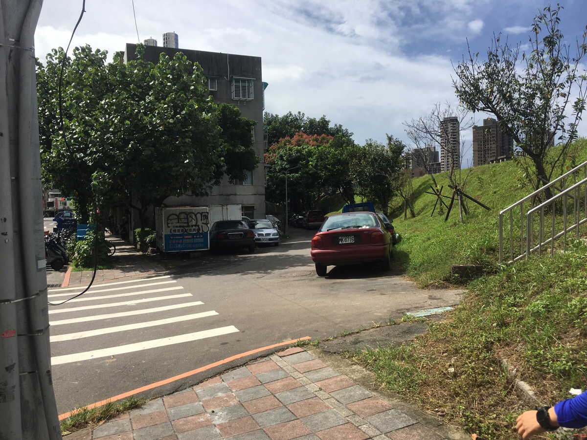
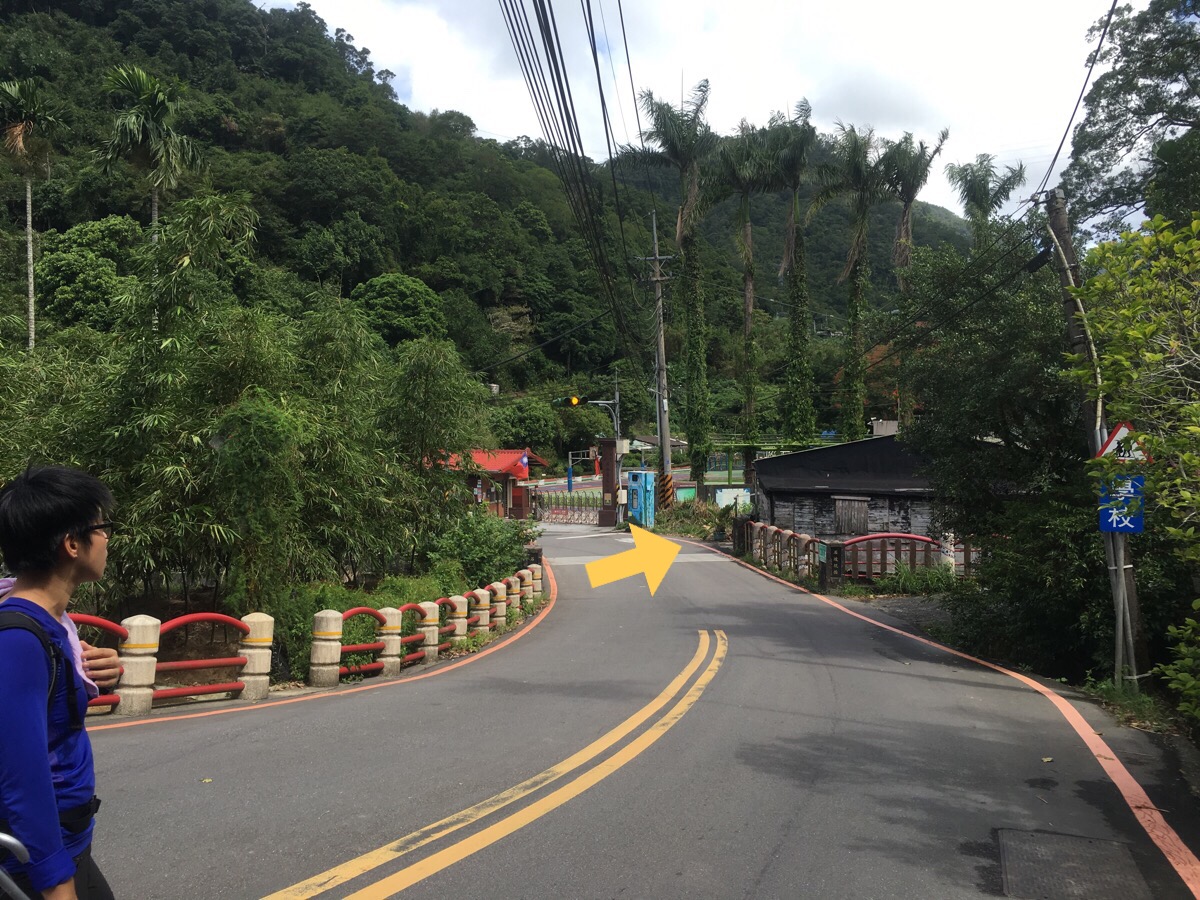
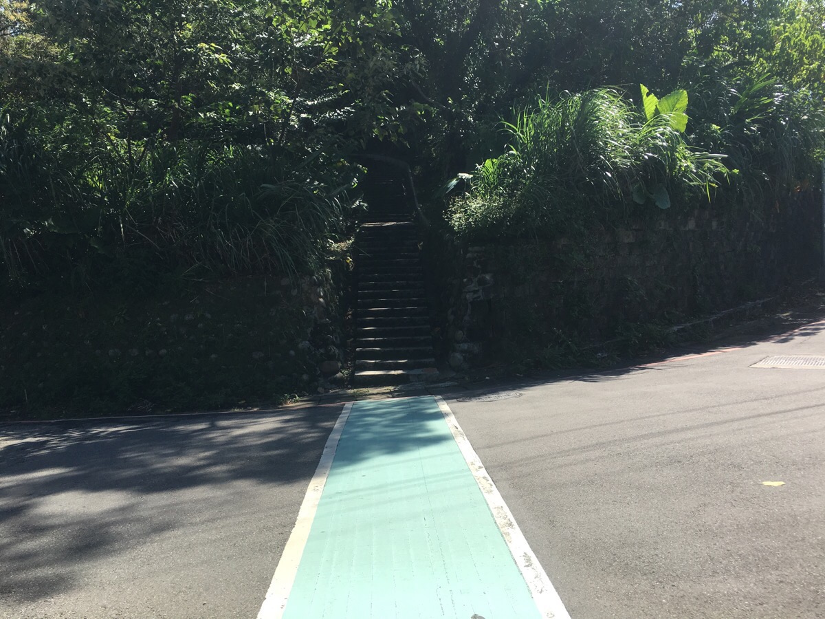
I didn’t turn my tracking app on immediately so you can’t see this part on the map. We started near Taipei Zoo Station, (turn left as you walk out of the station exit), and walked along Xingguang Road Section Two until we reached these steps (on the right of the picture).

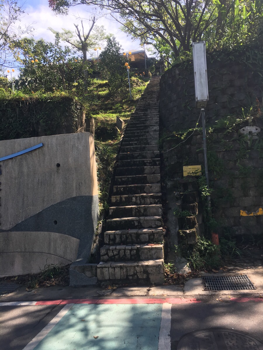
The steps lead up onto the river park wall.
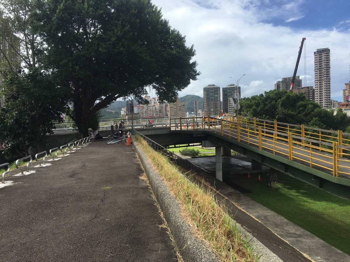
We kept heading along the wall until we got to this bridge where you are forced to to go down and under it.

Walking through the park we turned left past some basketball courts.
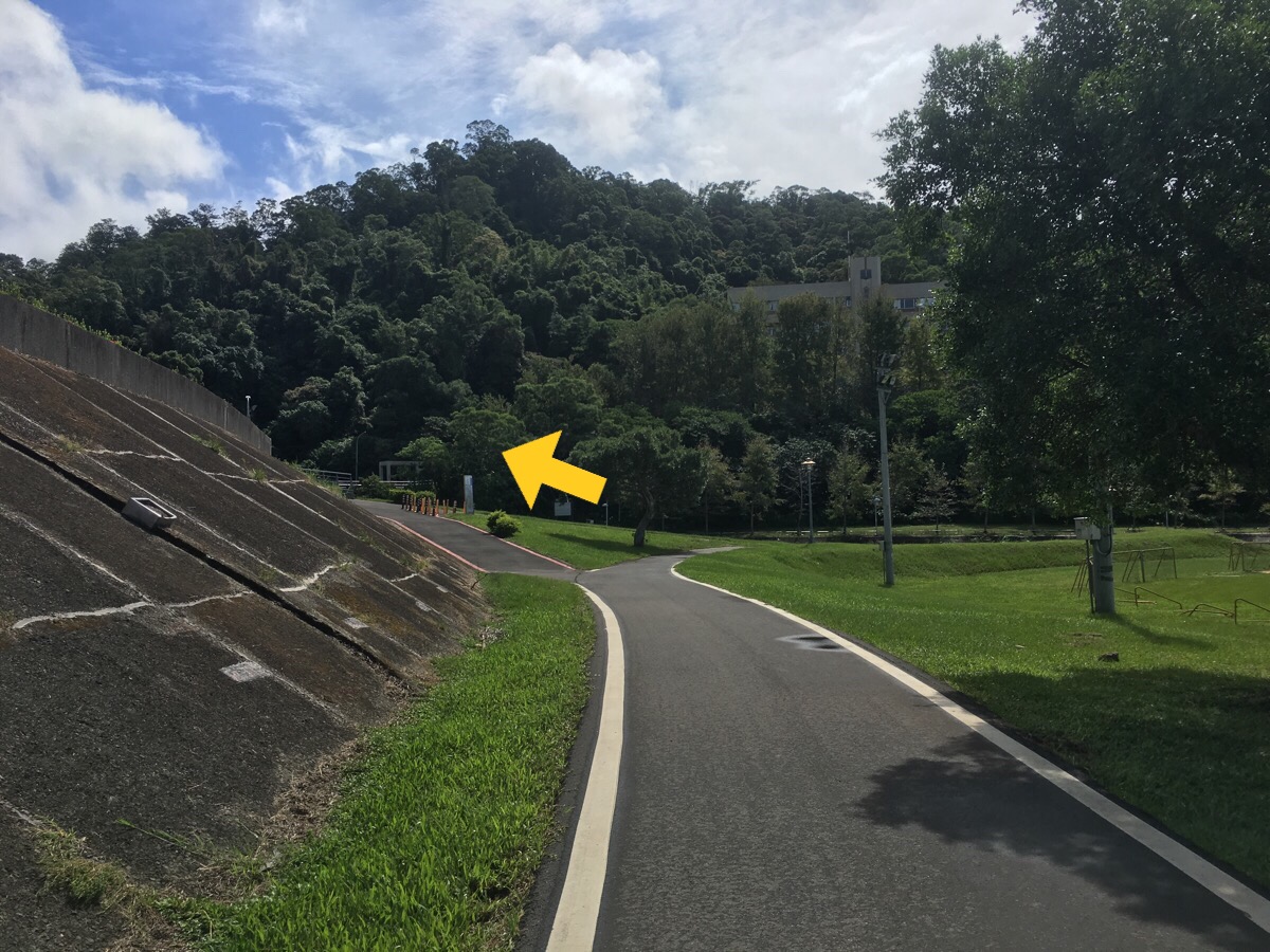
And left again up a slight incline.

Turning right over a bridge we could see where we were headed. We took the steps down to the left at the far side of the bridge and walked up the stream for a short way.
Only a short distance up the stream there’s a path heading up on the right.
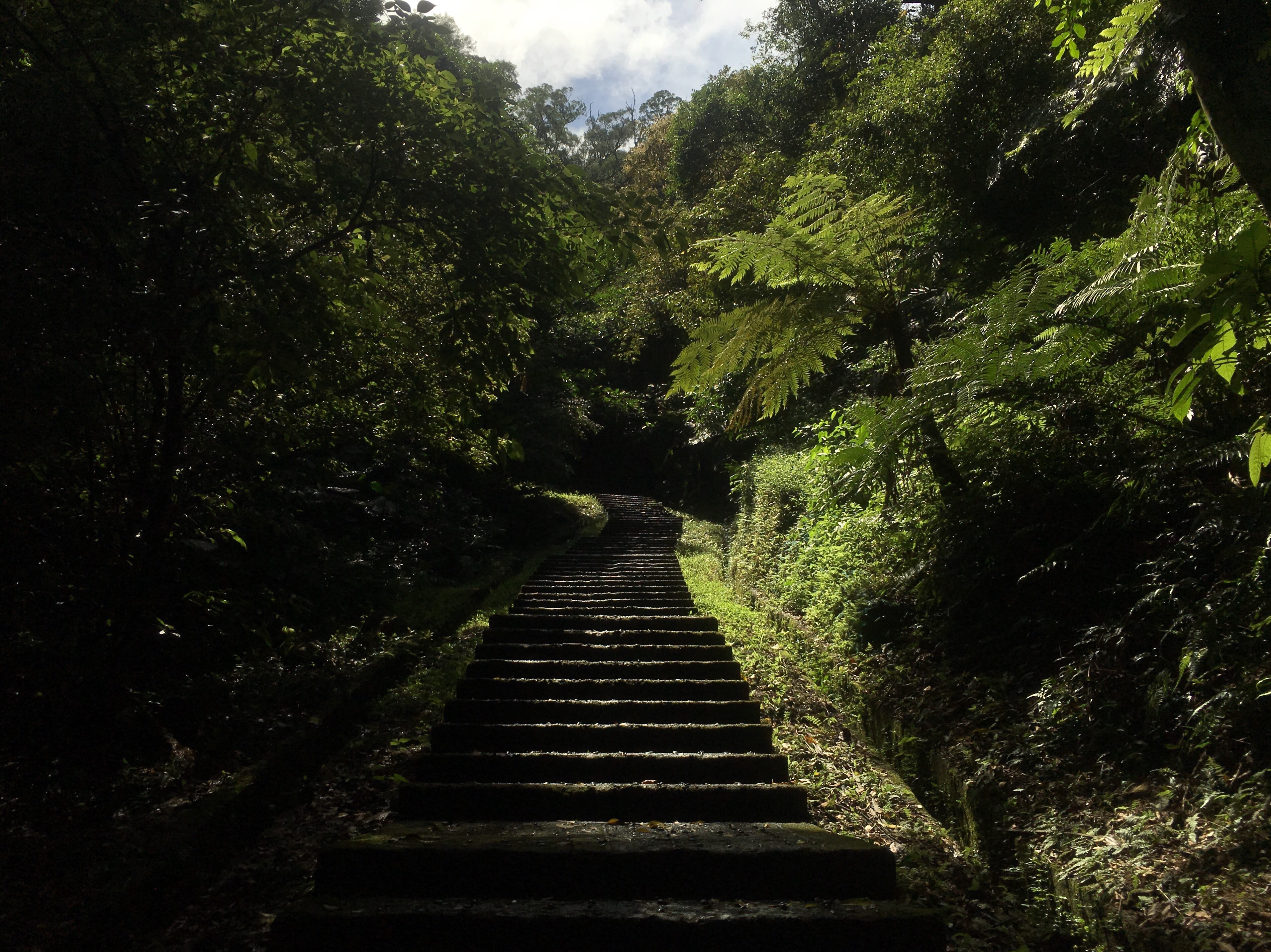
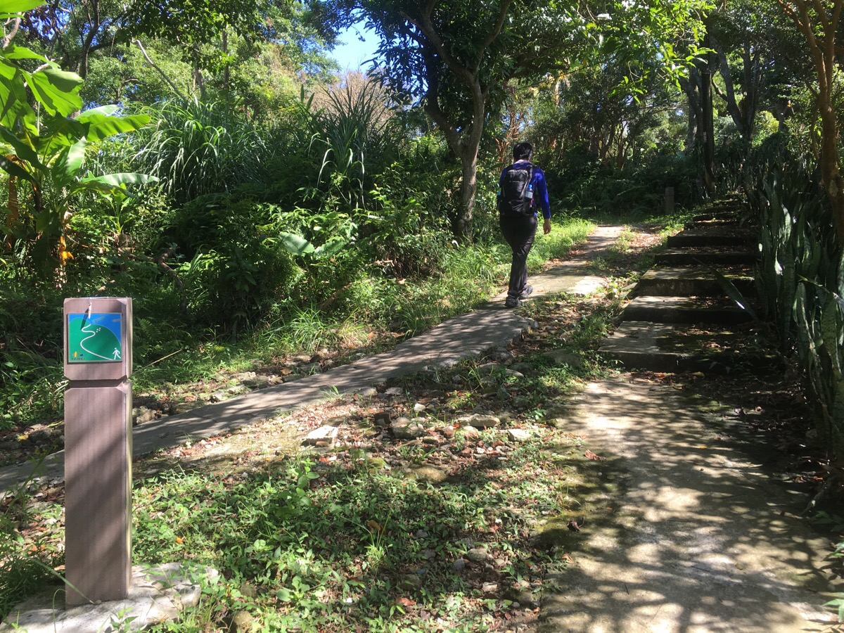
The theme of this walk is evident from the start: steps. Steps, steps and more steps.

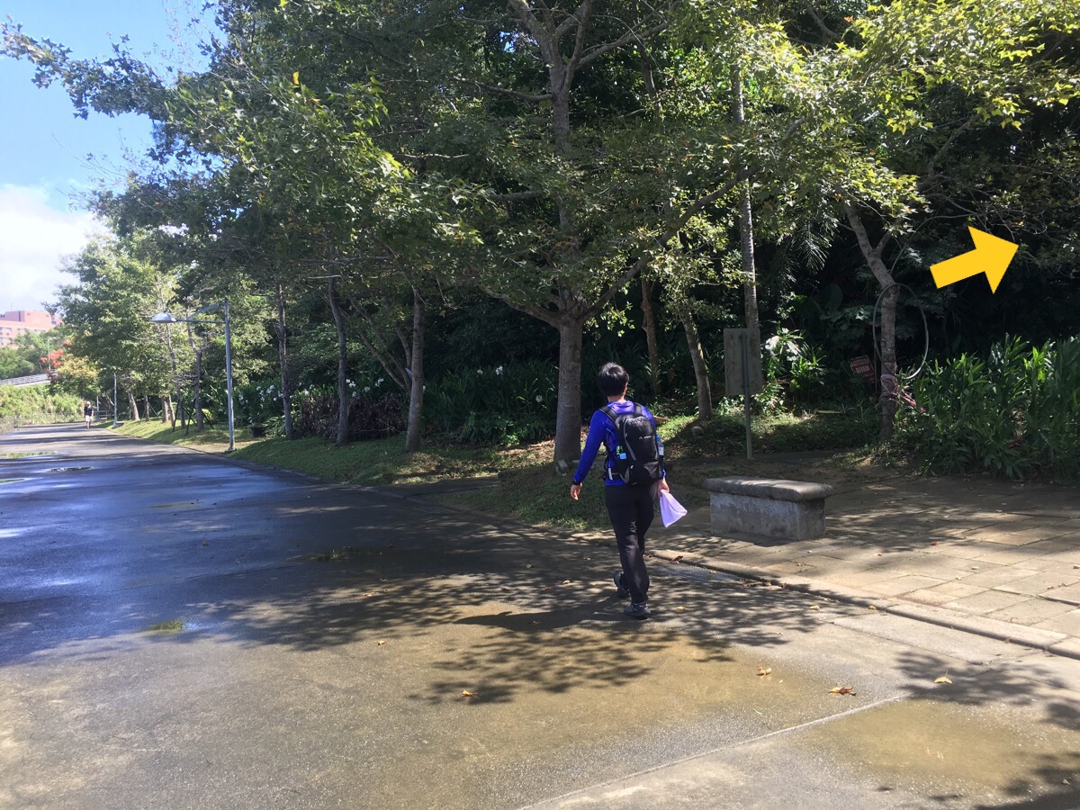
At the first junction we kept to the left filling signs for 環山網球場, (something along the lines of mountainside tennis courts).
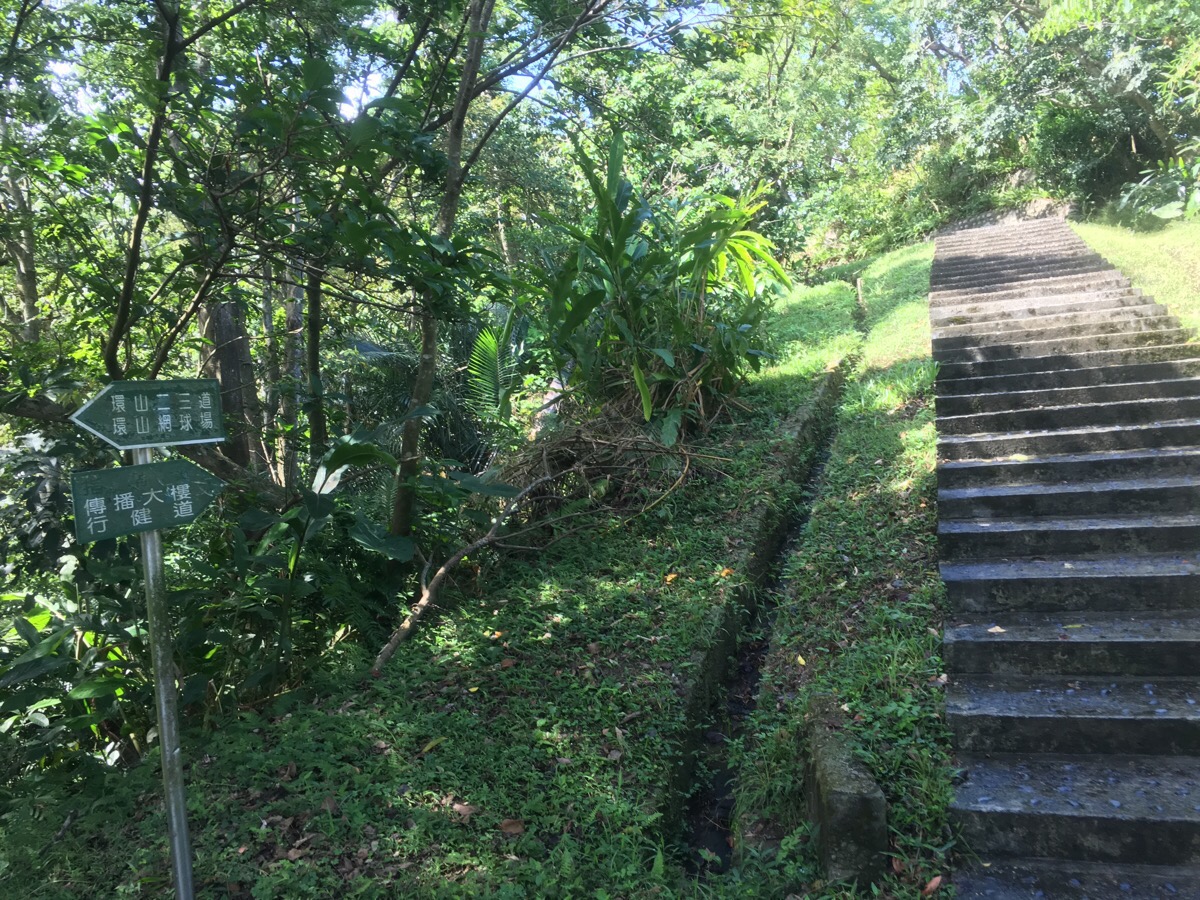
At the second junction we stopped heading towards the tennis courts and instead took the righthand steps up towards 傳播大婁行健道.

Reaching a kind of peak, the path curved to the left and we found ourselves heading momentarily downhill.

The path/road meets a carpark and then heads directly up the hill on the opposite side. It was around here that Teresa really started flagging, (tiredness and the trail-end of some unidentified general malaise), we debated turning around but instead pressed on slowly.

I actually quite enjoyed this part of the walk, dappled shade through an avenue of trees.

At some point it seems to cut across some kind of boundary but I’m not sure what the fence really signifies.

From the fence onwards it’s up more steps until you get to this junction here. We actually wanted to continue by going left down some steps but first, we went an extra 30m or so up to 樟山寺/Zhangshan temple.
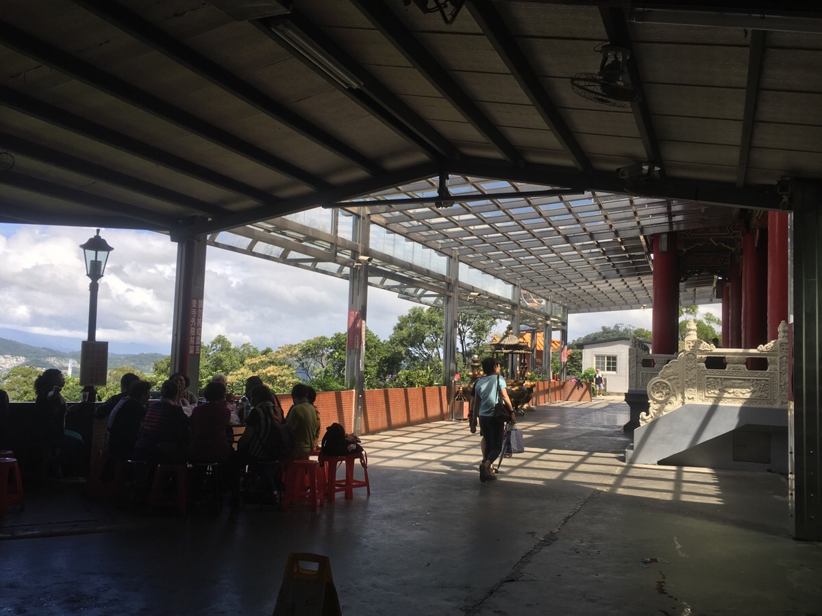
The temple forecourt was the liveliest spot we’d seen on the whole walk, it was full of walkers sitting around, eating, chatting and drinking tea.
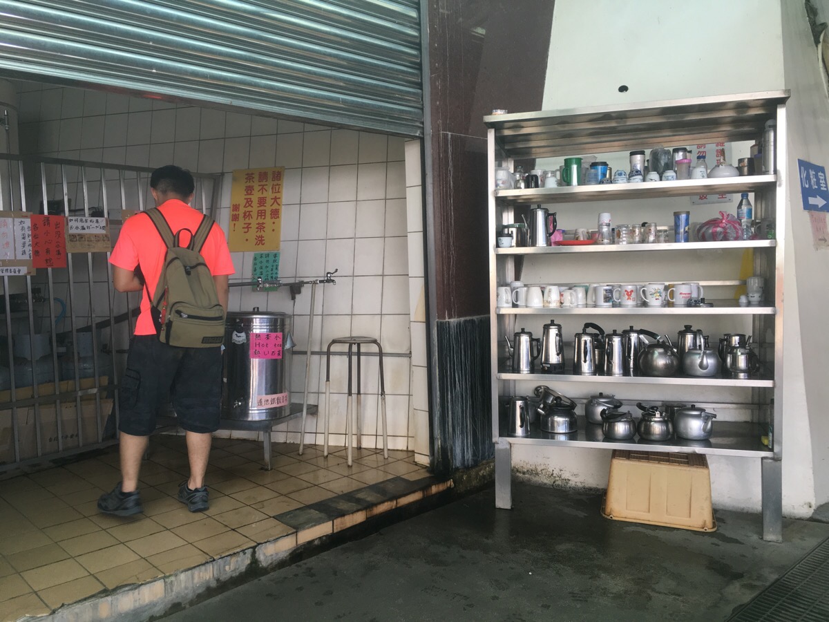
The reason for the large number of tea-drinkers was at least in part to the overwhelming array of teapots and cups available for public use. There were also large vats of hot water and tea. I think they might also have been a kitchen available to use since it seemed people were taking things to cook but I didn’t go to explore.

The front of the temple courtyard drops away to reveal views back over the city and we caught a glimpse of some jets trailing plumes of red, white and blue smoke as they passed over the city for Taiwan’s Double Ten Day celebrations. When we were ready to move on we filled up our water bottles with tea and headed back the way we’d come.
The steps heading down are pretty steep and I’d imagine that they get slippery in wet weather. Across the valley it’s possible to see what I think is part of the large Chih-nan Temple complex.

As the path starts to level out a little it passes some semi-abandoned-looking farms, they’re clearly still occupied but in that falling-down way that lots of rural houses in Taiwan are.

The path crosses a road and goes straight down the other side next to a small pavilion. This part of the trail passes small bamboo and betel nut groves and was very slippery even in dry weather.

It’s a little bit of a maze of small roads and private driveways but mostly down all the way.
After the path breaks out onto a proper road for a short way, it dives off on the right and starts climbing again, There are a couple of graves on the right as the steps start to climb.
After about half an hour of climbing, the path merges with another path coming in from the left but we kept on heading upwards.

From this point it’s really quite straightforward, the path heads up straight and regularly crosses the road as it zigzags up in the same direction.
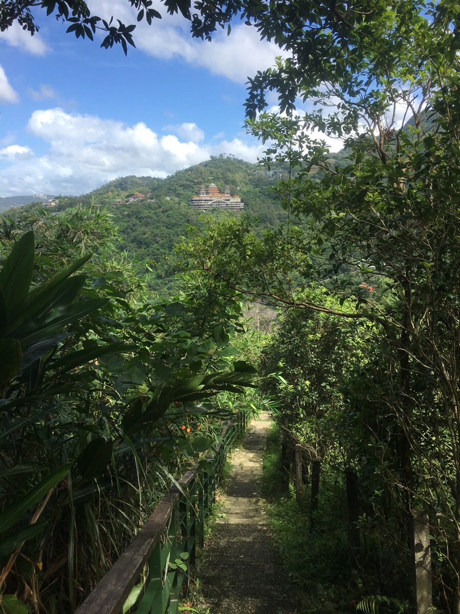
Getting closer to the top we started to pass places like the teahouse which is just about visible in the top photo.
And it’s impossible to not know where you’re headed.

Soon enough, the cable car whirred into view and we found ourselves emerging from underneath it.
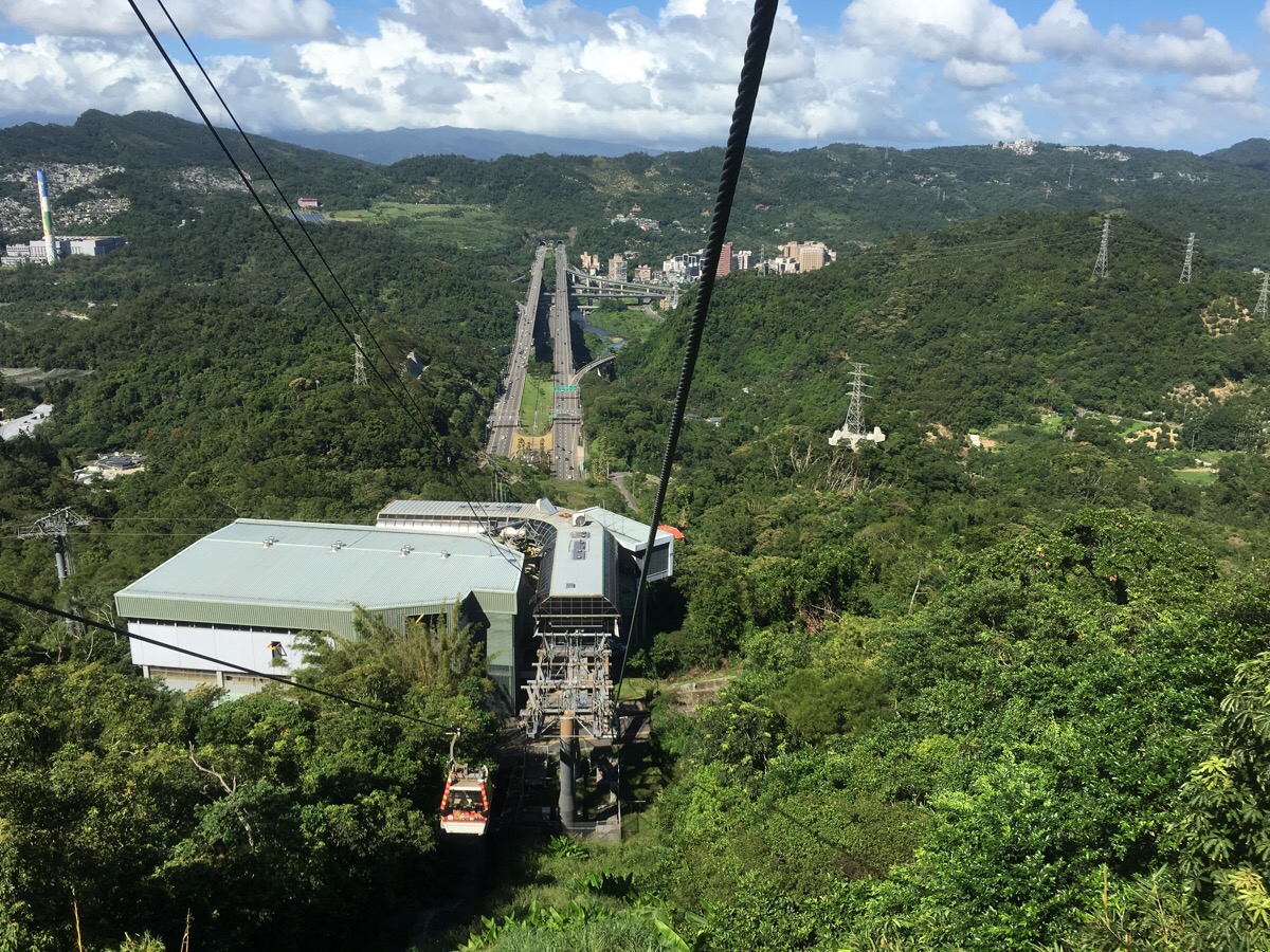
We spent a while at the top enjoying some drinks from the busy holiday vendors and then made our way back down in one of the gondolas. It was at this point that we discovered that Teresa doesn’t really like gondola rides.
How to get there
Google Maps address: the entrance to the park can be found around here, whilst the start of the hike itself is unmarked on the map and can be found near here.
GPS location: the trail starts from N24 59.088 E121 34.543
Public transport: this walk is perfectly suited to public transport and can be done as a loop from Taipei Zoo station, the last station on the brown line.
My new words learnt on this hike:
- 沈默是金 / chénmò shì jīn / silence is golden – apparently this is one of those phrases which does translate.
- 悶悶的 / mènmèn de / stuffy or muffled depending on the usage
- 透氣 / tòuqì / breathable
- 脖子 / bózi / neck
- 煎 / jiān / fried
- 豆芽 / dòuyá / beansprouts – Teresa really does not like beansprouts, but every time she forgets to tell the staff not to give them to her.
Dragon Trail Map

GPX file available here on Outdoor Active. (Account needed, but the free one works just fine.)
