Quantoumu Trail is a short and easy walk in Yilan’s Sanxing Township. Its name means “fist” and is a reference to the fact that some feel the protuberance resembles a small clenched fist. It’s currently a managed forest area, and the whole hill has been planted with Formosan michelia (a member of the magnolia family). We visited at the tail end of a national holiday and enjoyed a quiet wander among the falling blossom.
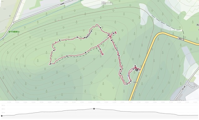
Distance: 1.7 kilometres.
Time: 30 minutes to 1 hour — We were on the slower side.
Total ascent: Almost exactly 100 metres.
Difficulty (regular Taiwan hiker): 2/10 — A generally very easy walk. It’s a well-signposted trail with a small amount of elevation gain.
Difficulty (new Taiwan hiker): 3/10 — As mentioned above, this is a very easy walk. As long as you’re OK with a few steps, you’ll be fine with this.
Risks and dangers: The short stretch of tarmac leading up to the start of the path is very slippery, otherwise, there are no obvious dangers here.
Water: I took 0.5 and drank about half of it. You’ll have to take your water with you since there’s nowhere to buy it near the trailhead.
Shade: This is a very shady walk the whole way.
Mobile network: I had clear signal throughout.
Enjoyment: This isn’t a destination hike. By that, I mean, I wouldn’t plan a trip to Yilan based on doing this, but if you’re in Yilan and want an easy walk that’ll kill an hour, than I can certainly recommend this. It’s quiet and pretty, and in January, the white blossom falls from the trees like snow.
Bathroom facilities: There are no toilets on this trail. The nearest are located in a temple about 1.3 kilometres away.
Route type: Lollipop loop
Permit: None needed
Jump to the bottom of this post for a trail map and GPX file.
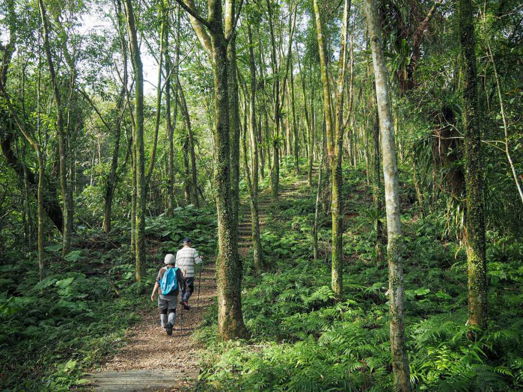
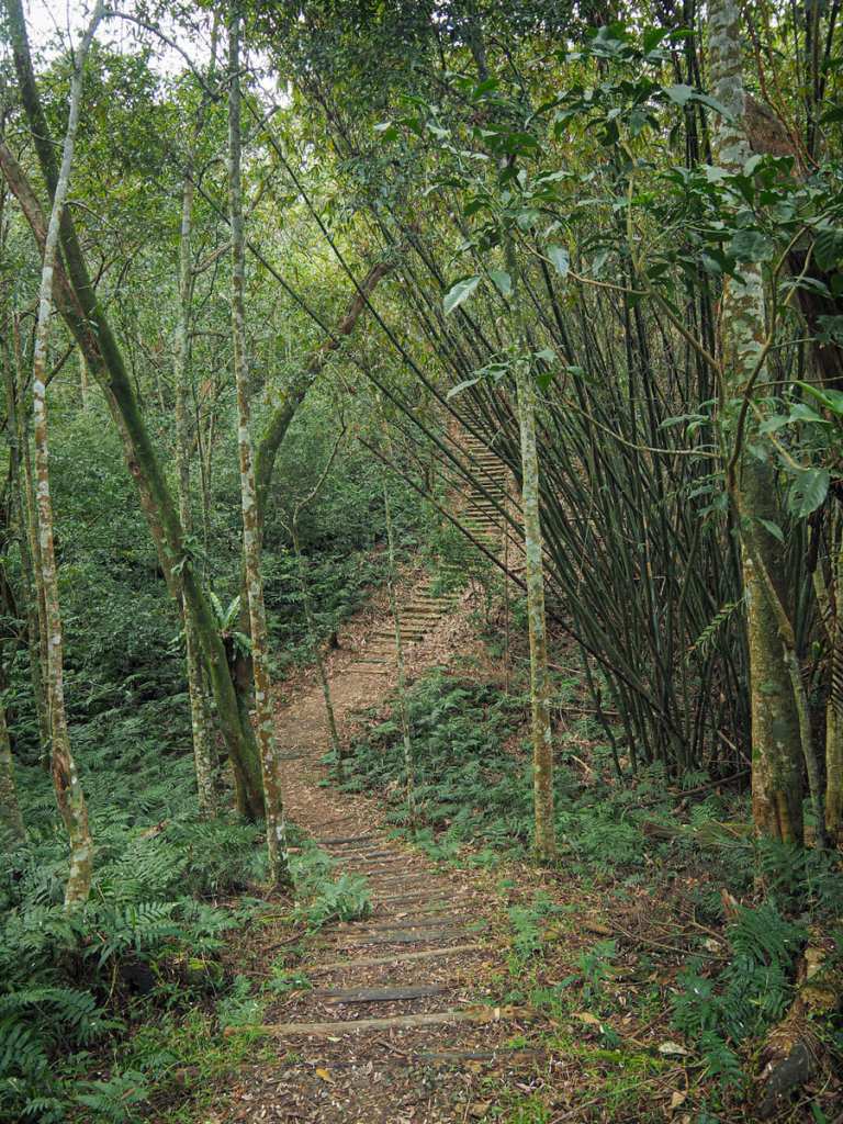
From the trailhead carpark, a short and slippery track leads to the start of the trail and an info board that gives a little background information to the forest.
The majority of trees here are Formosan michelia, tall, skinny with a high leafy canopy. They are artificially planted (which I know from the trailhead sign and from the little tags adorning each), and when used as a crop tree, they produce dark, hard wood that is good for using in furniture.
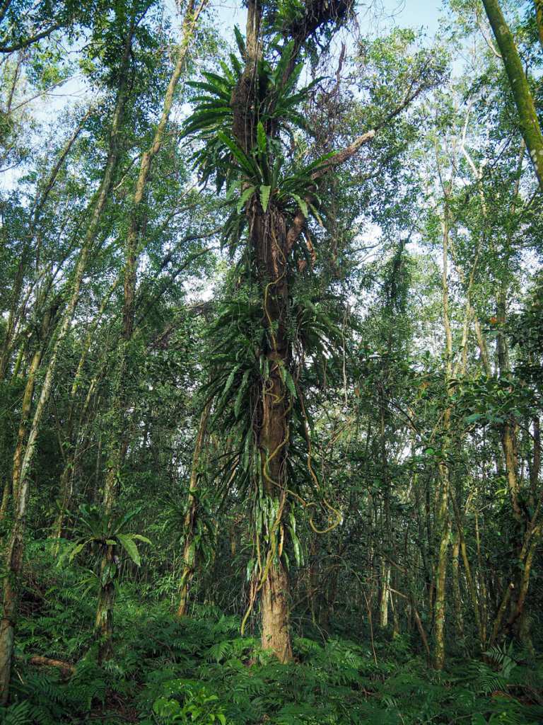
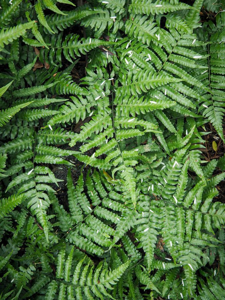
In addition to the Formosan michelias, the forest is very ferny. From the forest floor to the canopy, there are ferns of all kinds to be spotted and on our January visit, those lower down were decorated with a sprinkling of thin white petals from the trees.

After a few minutes of climbing, we made it to the first of two observation platforms. This one overlooks Lanyang Plain. From up here, the rice paddies are bright spots dotting the landscape with Turtle Island swimming just off the coast.
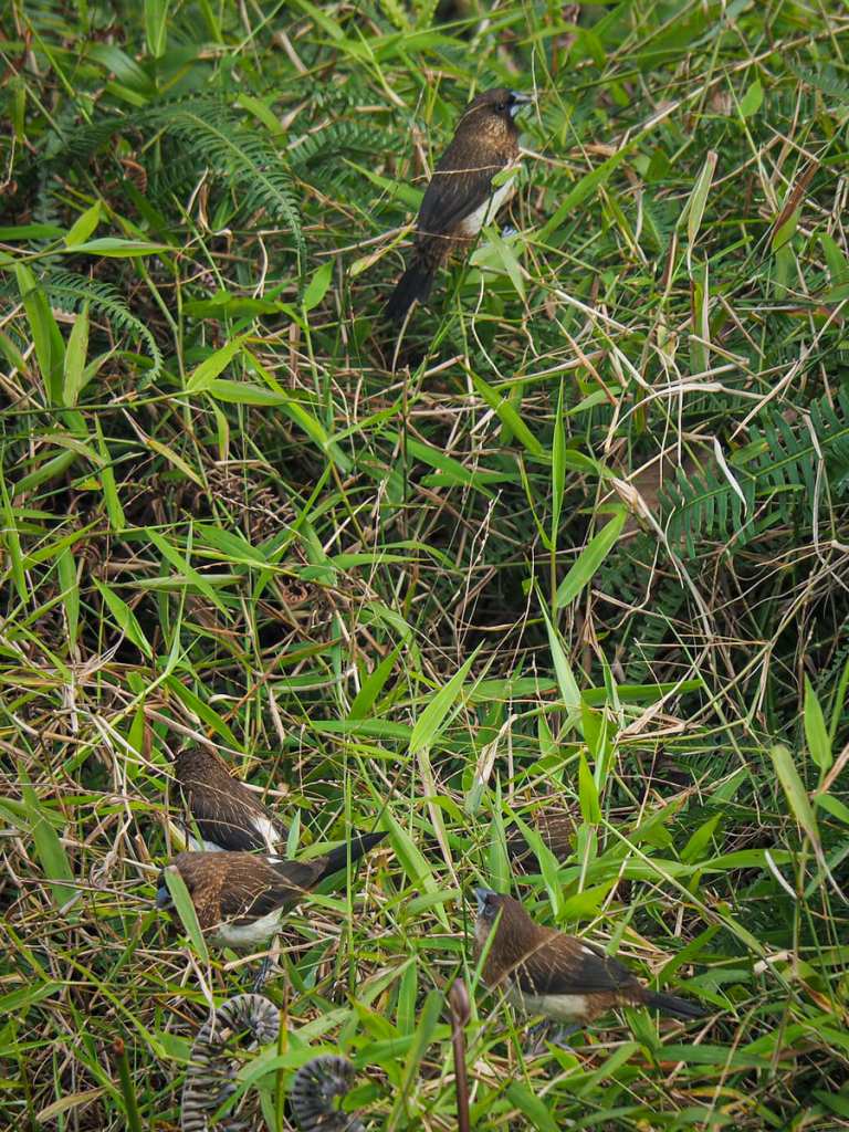
Standing on the deck, we observed a flock of white-rumped munias stripping the grassses of their seeds.
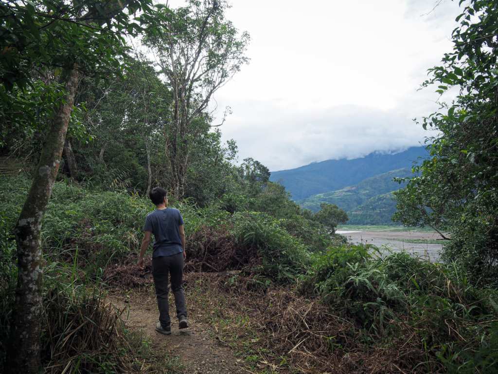
From the platform, we returned to the main trail and set off on an anticlockwise loop of the hilltop. This way offers a longer but gentler climb — so much gentler that when it came to the descent, I couldn’t believe we’d actually climbed that far.
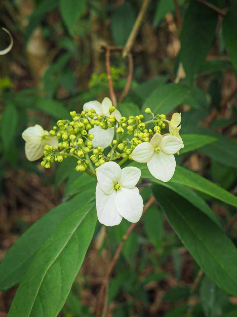
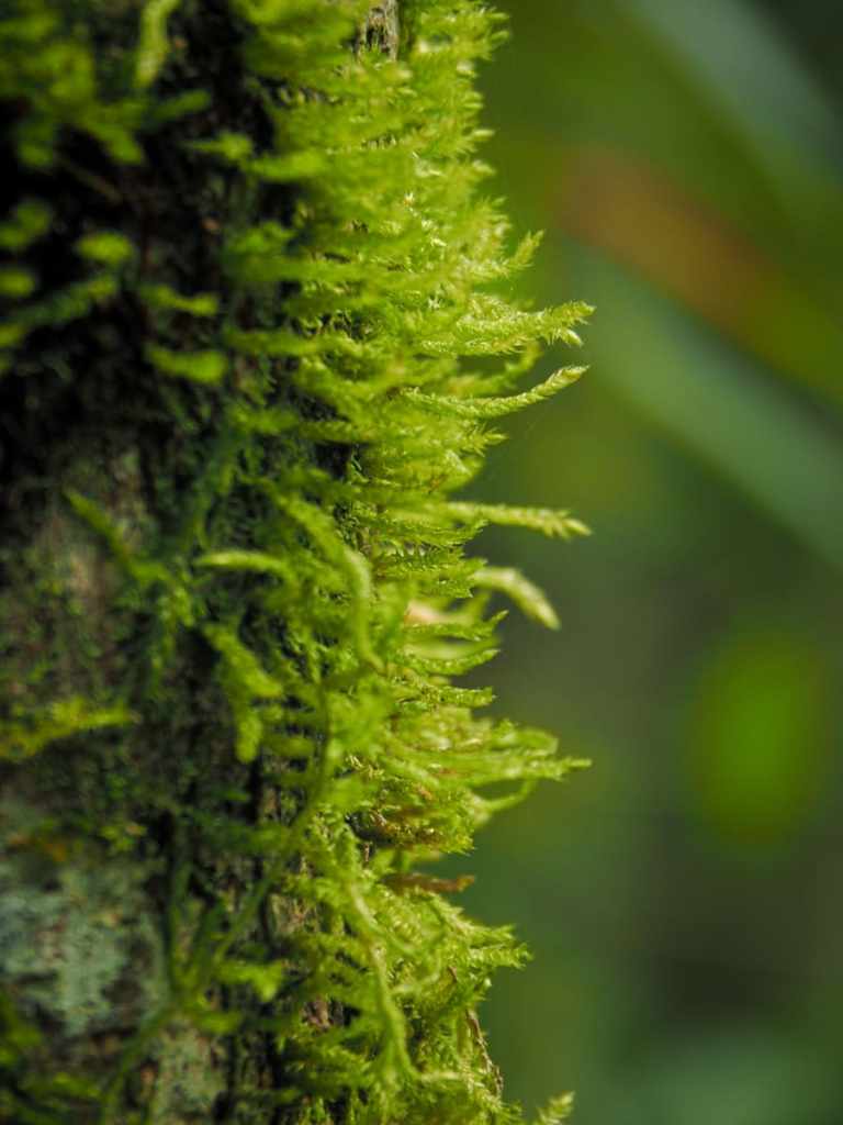
Chinese hydrangea flowers on the left and thick moss on a tree trunk on the right. Despite being relatively low in elevation, the trail is green and mossy — I guess this is a benefit of Yilan being so notoriously damp.
The trail dips and climbs along its northern edge, and if you look at the understorey, you’ll find it riddled with loads of animal tracks. I’d love to come back here at dusk to see what kind of wildlife is around.
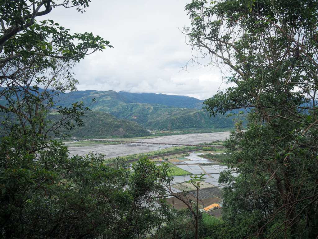
The second observation platform offers a north-facing window over Lanyang River and Atayal Bridge, but judging by the tree growth, this viewFrom is just a couple of years away from becoming totally blocked.
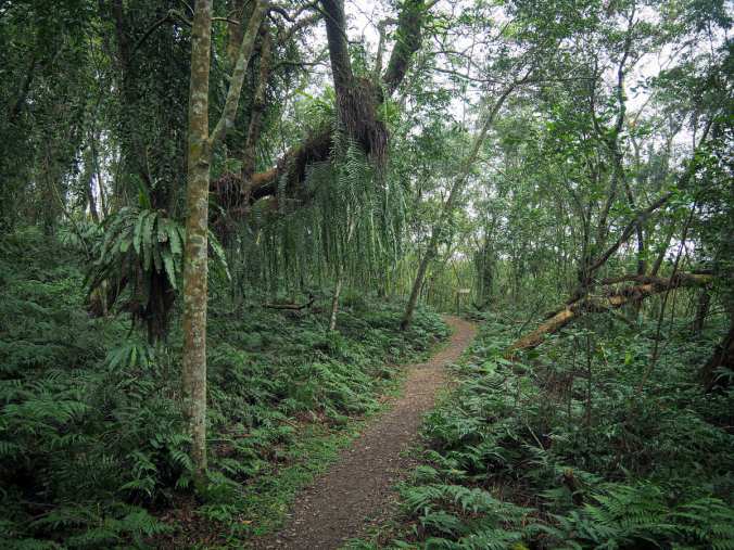
From the second viewing platform, the trail climbs a short distance further before beginning to curve left and head downhill again.
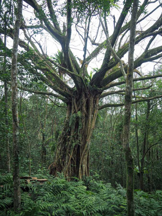
A short spur trail on the right leads to a clearing beside a photogenic banyan tree, and then before you know it, you’re back at the start of the loop.
How to get to Quantoumu Trail
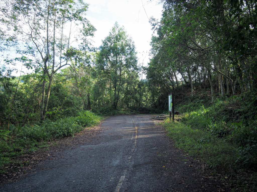
Google Maps address: The walk starts from a small carpark just off Provincial Highway 7C. The turn-off is easily missable though, so if you’re driving, drive slowly as you approach.
GPS location: N24 39.405 E121 36.890
Public transport: It’s possible to do this walk by using public transport, but unless you’re into slow travel and want to make a day of it by visiting the little village where the bus stops, its probably not worth the hassle. The closest bus stop is Tiansongpi (Fushan Police Station), which is served by buses from Luodong TRA station and is about 1.2 kilometres away from the trailhead on foot.
Nearby trails:
- Jiuliao Creek Trail
- Naoliaokeng Trail
- Songluo Trail
- Xinliao Waterfall Trail
My new words learnt on this hike:
- 子宮 / zīgōng — uterus
- 志工 / zhìgong – volunteer (n.)
Quantoumu Trail Map
GPX file available here on Outdoor Active. (Account needed, but the free one works just fine.)
