
An Easy Waterfall Walk in Wulai District
In the final couple of days of my parents’ visit to Taiwan, we did several short and gentle day trips from Taipei (all of which seemed to centre around finding a coffee shop to structure the day around). One of those days, we visited Wulai and did this very easy walk beside Nanshi River.
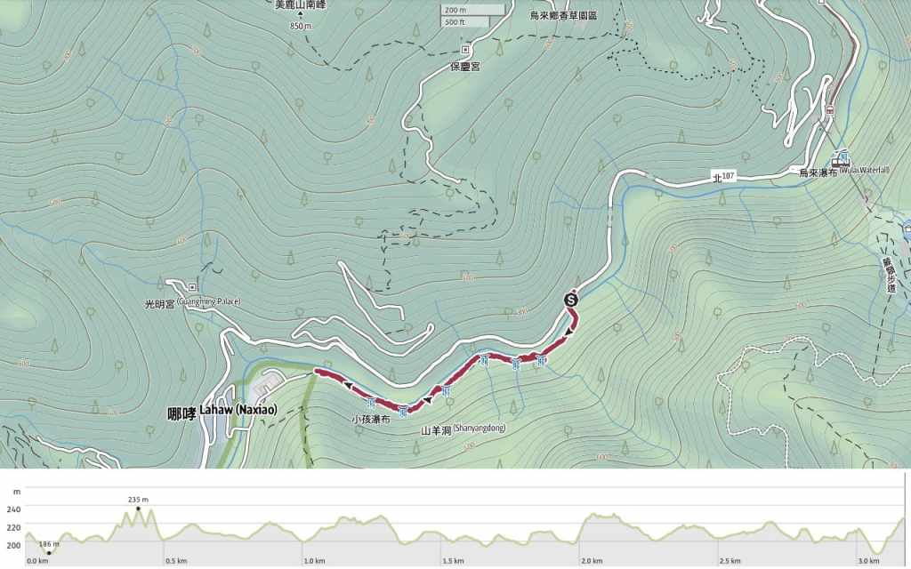
Distance: 3.2 km
Time: We spent a relaxing 1½ hours here, but if you’re a quick walker, you’ll be able to do it in half the
Difficulty: 0.5/10 – This is very easy. The walk is short, flat and there are regular benches along the way.
Total ascent: The tracking app I use suggests that this trail has around 100m of elevation gain, but I’m a little sceptical. The elevation profile shows several short, steep fluctuations in elevation, but we encountered no such ascents/descents.
Water: A small bottle would suffice.
Shade: Quite shady for most of the way.
Mobile network: Mostly clear.
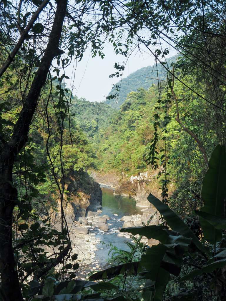
Enjoyment: There are some wonderful views of the gorge, particularly early on. The end part of the walk isn’t so interesting, but you can extend it by walking a little further and into Neidong National Forest Recreation Area.
Route type: This is a there-and-back walk (or point-to-point if you have someone to drop you off and pick you up.
Permit: None needed.
Jump to the bottom of this post for a trail map and GPX file.
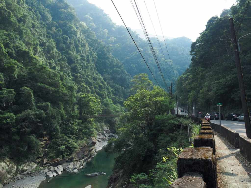
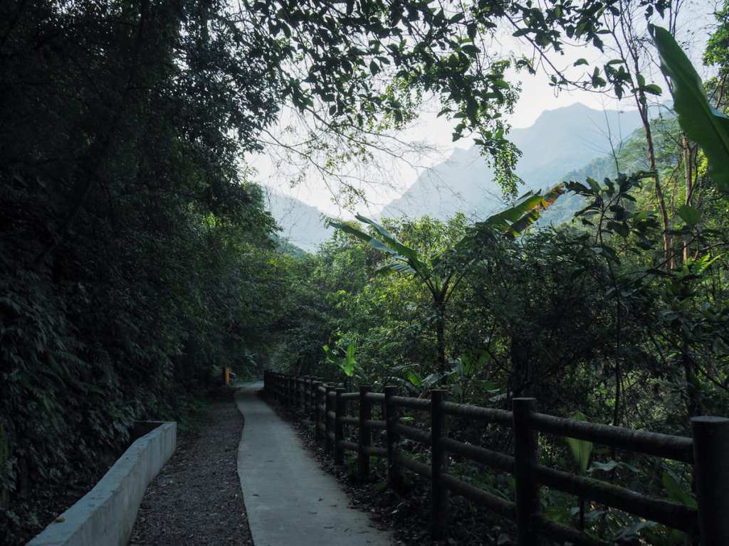
If you’re driving, the walk starts from a rather nondescript spot partway along Xinfu Road. (Although if you’re coming using public transport, it’s another 2km of roadside walking from the top station of the Wulai Scenic Train, which, while not as dull as it might sound on account of the river scenery, is still a lot of walking beside a road.)
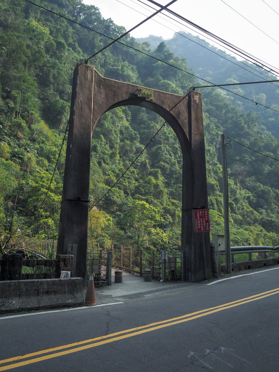
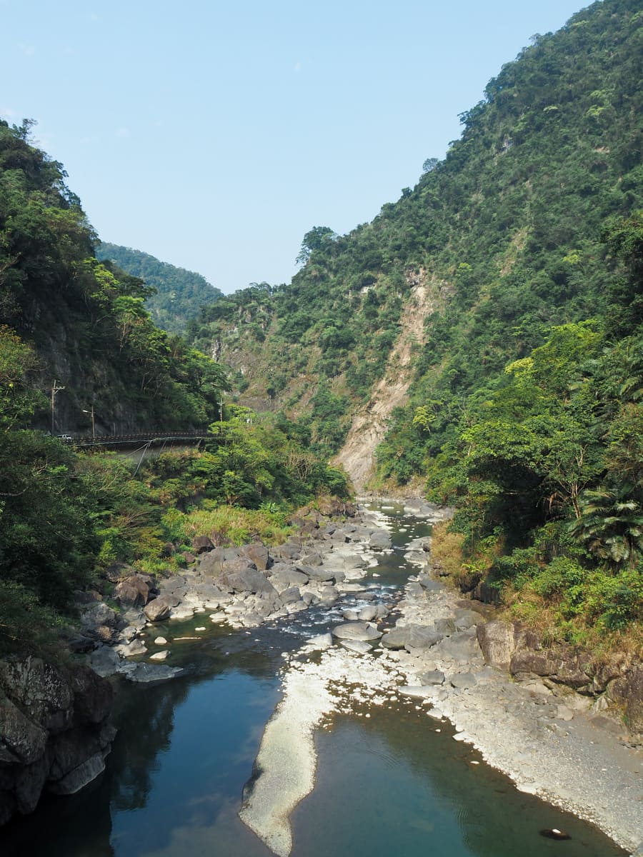
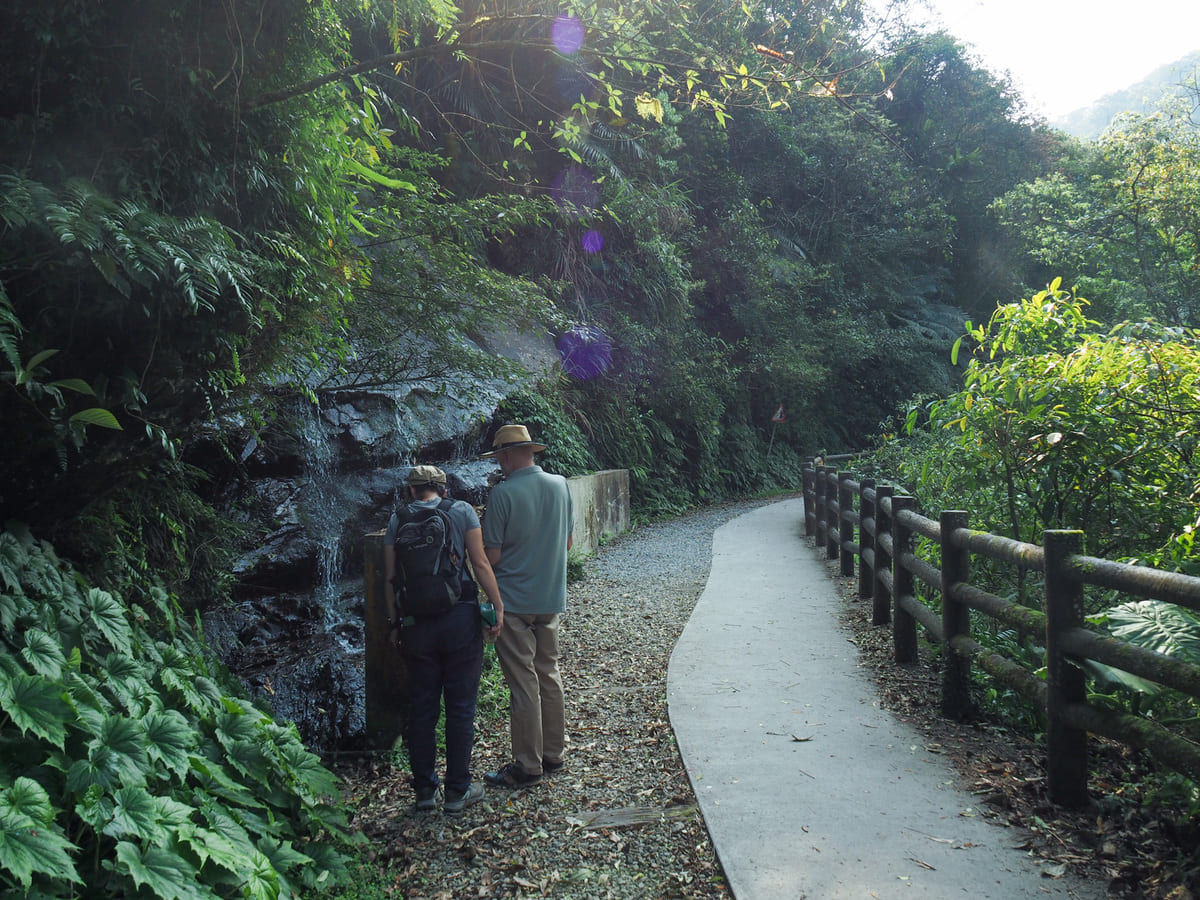
The trail leaves the road and crosses Xinxian Suspension Bridge. There are pretty views of the river from both the upstream and downstream sides of the bridge.
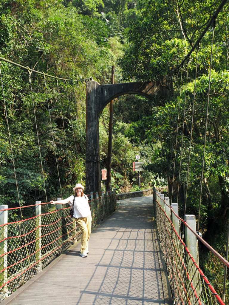
Mum, who had spent the past three weeks observing many a photoshoot at many a scenic spot, knew exactly what was expected of her.
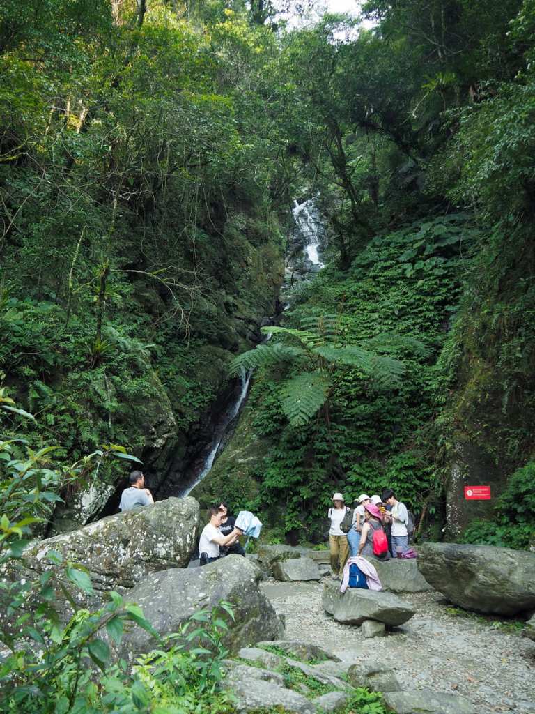
In under five minutes, we found ourselves at the first (and most impressive) waterfall of the walk.
The air here was noticeably several degrees cooler here than it was along the rest of the trail. The mist kicked up by Shenglong Waterfall’s tall, sinuous falling stream of water stealing some of the day’s heat. Plenty of people were taking advantage of nature’s air conditioning and had set up here to enjoy a comfortable rest. It seems this is probably a regular occurrence, because the local government has installed a toilet here.
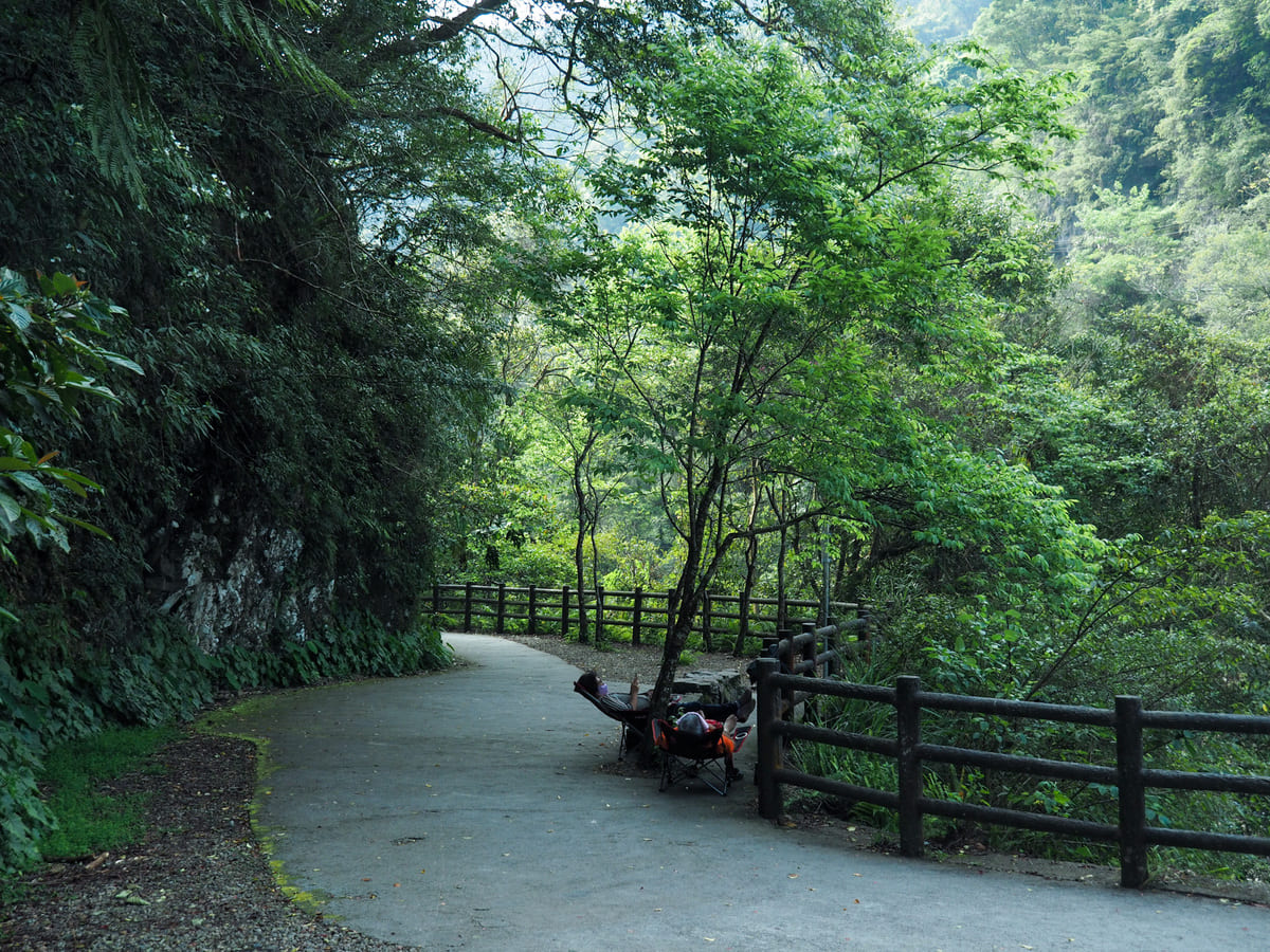
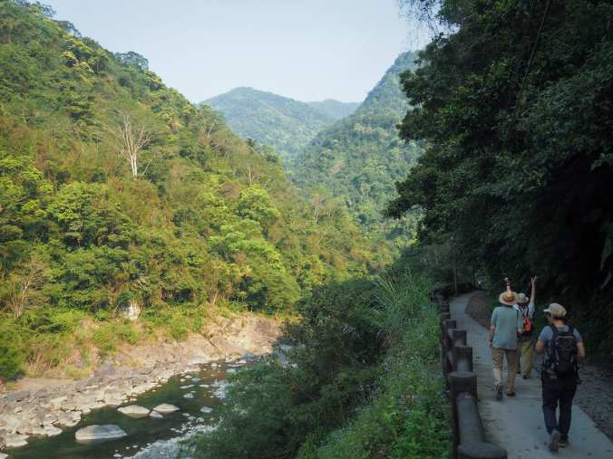
Leaving Shenglong Waterfall behind, the path constitutes an easy, meandering route beside the river.

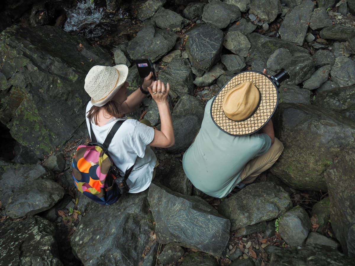
Although the first is the grandest by a long shot, there are actually ten waterfalls of various sizes along the trail. Beside one of the smaller ones, all of us took it in turns to try and photograph this jester butterfly.
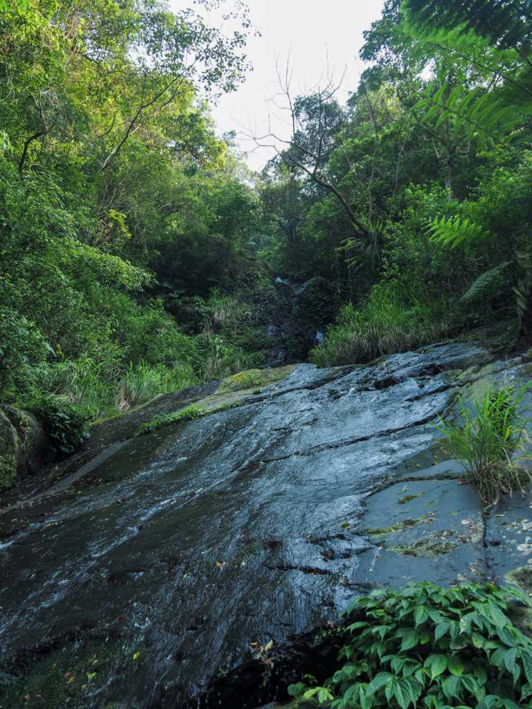
The very aptly named Stonewall Falls (石牆瀑布).
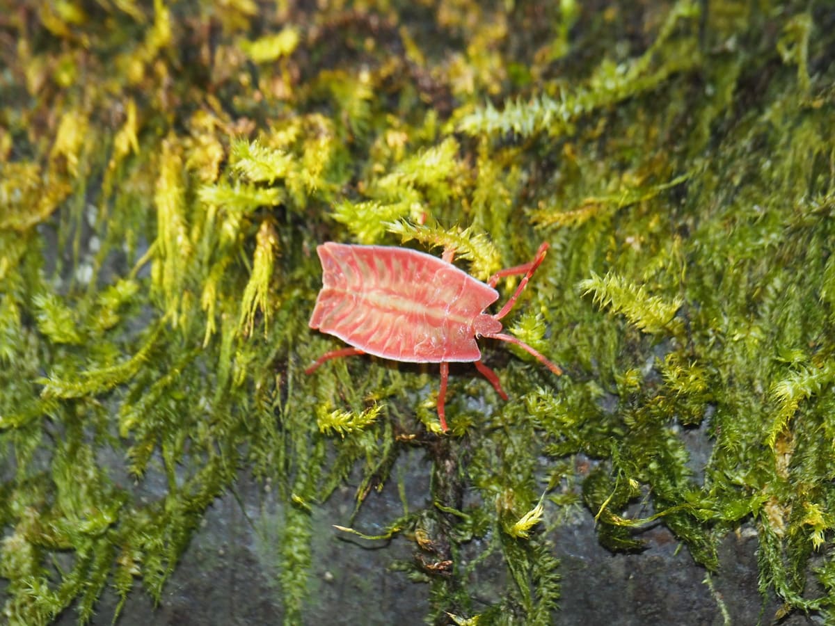
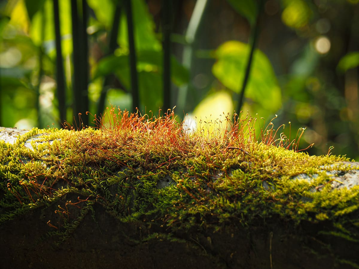
As with other walks in this area, the moss-life here is splendid. (As is the bug-life, but I’m assuming most people are less interested in that.)
When we were about three quarters of the way along the path, we bumped into a four-person aunty team, who were all excited to whip out their “Nice to meet you!” greetings. Teresa (very foolishly) told them that no one else had greeted “the foreigners”. The aunties seemed to take that as a dire failing of Taiwanese hospitality, and so they stopped to have an awkwardly polite conversation with us in which we learned that one of them had a daughter who studied in Glasgow. They also strongly advised us to take mum and dad to Neidong Forest Recreation Area (which we would have loved to, but in the heat, it seemed like a little too far).
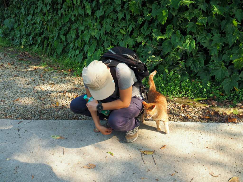
Before long, we reached the carpark which signifies the end of Xinxian Trail. It was guarded by this deceptively cute looking cat. Why deceptive? Well, as soon as Teresa stopped petting it, it went over to a pile of shit and began to wipe its face in it.
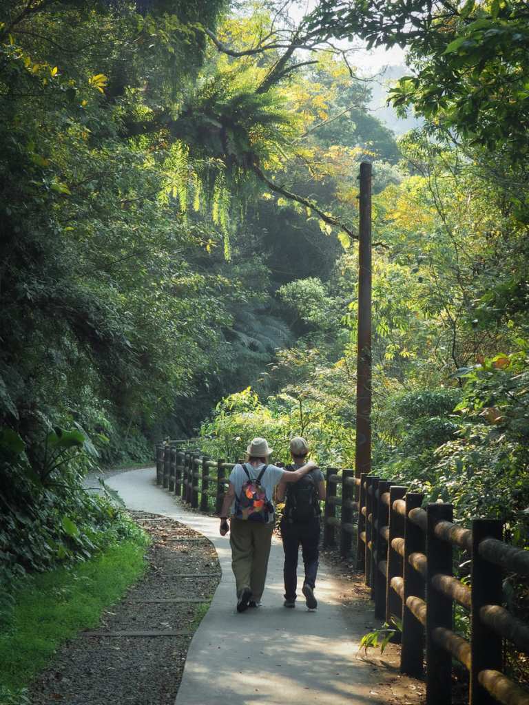
We turned back and retraced our steps past all of the waterfalls. Inspired by the man walking in front of us, mum attempted some stretching exercises as she went. I must have been here too long, because for me, this seemed thoroughly normal, but according to mum, doing this back home would make her a topic of village gossip.
Retracing our steps allowed us to admire some of the views had missed on the way out.
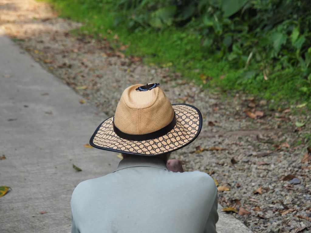
When we got about halfway back, we enjoyed a magical moment in which dad got to unleash his inner Disney princess. This blue admiral butterfly a liking to his sun hat.
After returning to our car, we stopped at the little tourist village by Wulai Falls. Whilst here, we bumped into the friendly aunty team from earlier. They were dismayed to hear that we hadn’t taken their advice to head on to Neidong, but decided to make up for the disappointment by offering us all sour plum candies. With their sweet treats to accompany them, we put mum and dad on the Wulai Scenic Train. (We kind of had an unspoken challenge to get dad on as many different types of train as possible during this visit.) We met them at the bottom end and had a little wander around Wulai Old Street before heading home.
How to get to Xinxian Waterfall Trail
Google maps address:
GPS location:
- Xinxian Suspension Bridge – N24 50.515 E121 32.460
- Xinxian carpark – N24 50.360 E121 31.805
Public transport: This one is accessible by public transport, but it’s a hassle. First you’ll need to get to Wulai. Assuming you’re starting from Taipei Main Station, this would involve catching the 849 or 849 Quchi Community bus from Taipei Main Station (Qingdao) bus stop. Ride the bus all the way to Wulai Terminal Station. From there, you’d had to walk through the village, over the bridge, and find your way to the Wulai Scenic Train. Purchase a one-way ticket (it only sells one-way tickets), and ride the little train up to the top station. From there, you need to walk along the road to the start of this trail. So, it’s possible to do this on public transport. But is it worth it? Probably not. At least, not unless you also plan to continue on to Neidong National Forest Recreation Area.
Further reading: This post from Bike Hike Taipei details a longer version of the walk which follows the instructions outlined above.
Nearby trails:
Xinxian Trail Map
GPX file available here on Outdoor Active. (Account needed, but the free one works just fine.)
