Qingtiangang to Shilin
The Fisherman’s Trail, is one of those vexing places in Taiwan that goes by a myriad of names. You might have heard it called the Jinbaoli Trail, Yulu Historic Trail, Fish Road, the Japanese Cannon Trail, the Henan Soldier’s Road, or some variation of the above. With so many monikers, it took me a couple of years to realise that they were all referring to the same route (and it took me even longer to get round to walking of any of it). When most people talk about this trail, they are just referring to a short and pretty section that connects Qingtiangang and Shanghuang Creek carpark (which I’ve covered separately in its own post here), but the trail stretches far beyond that, connecting Jinshan on Taiwan’s northeastern coast with Shilin of Shilin Night Market Fame.
The trail’s roots likely lie with the first inhabitants of the area, the Basai peoples and other indigenous groups within the Ketagalan umbrella. The path’s presence before the 1600s suggests its use as an early trade route for these indigenous communities. Then, with the arrival of Han settlers in the 17th century, the Jinbaoli Trail witnessed a surge in activity. Farmers and traders adopted it as a key route for transporting goods, primarily fish and sulfur mined from the region’s fumaroles. Plenty of terrace farms from this era can still be spotted if you peer carefully into the trees. The Japanese occupation in the late 19th and early 20th centuries also left its mark in the form of more sulpur mining operations and the construction of the “Cannon Trail.” Designed for defense purposes, it meandered up the hills from Bayan to Qingtiangang, crisscrossing the original steeper route on a wider and gentler track to accommodate horses pulling heavy artillery.
At just under 30km, it should be possible for a very fit hiker (or more likely, trail runner) to cover the distance between Jinshan and Shilin in a single day. But for me, the enjoyment lies more in having the time to enjoy the scenery along the way, so I have done the walk over two separate days. Also, since finishing in either Jinshan or Shilin means you have easy access to food and transportation at the end of the walk, I have decided to start both walks at Qingtiangang rather than try to replicate a more historically accurate journey heading entirely in one direction. This post covers the southern part of the journey.
Distance: A little under 14km.
Time: 5-7 hours. I walked this in 6 and a bit hours with a coffee break and lots of pauses to look at things I found interesting.
Difficulty (regular Taiwan hiker): 3-4/10 – While not a challenging or technical walk, I would class this as being on the harder end of easy, or easier end of moderate for hikers who are familiar with Taiwan’s hikes, and it certainly wouldn’t be my first choice if I was looking for an easy or relaxing walk.
Difficulty (new Taiwan hiker): 6-7-10 – For hikers new to Taiwan’s trails, this walk would be on the harder end of moderate. It requires some map-reading, following unsignposted routes and walking through trails that don’t always appear to exist.
Total ascent: Almost 300m of elevation gain, but much more significant is the over 1,000m of descent.
Water: I took some snacks but just 0.5L on a cool day. I made a brief detour about halfway through the walk to have a coffee and get provisions. On a hot day, I would have wanted a litre with me.
Shade: This walk is long and varied, with some shady sections and some exposed.
Mobile network: Mostly OK, but with one or two brief dark spots.
Enjoyment: This is not going to be everybody’s cup of tea. I enjoyed it because it felt like I was feeling my way through trails that are close to being forgotten and almost like I’d escaped into a corner of Yangmingshan that I’d not seen before. However, if you’re looking for stunning views and relaxing walking, this shouldn’t be your first choice.
Other: Gloves and a hiking stick might help in a couple of sections, but they’re not essential.
Bathroom facilities: There are toilets at the visitor centre at the start and you can detour to a convenience store with a toilet about halfway down.
Route type: Point-to-point.
Permit: None needed
Jump to the bottom of this post for a trail map and GPX file.
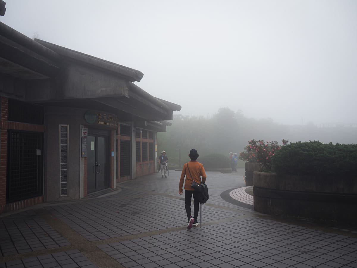
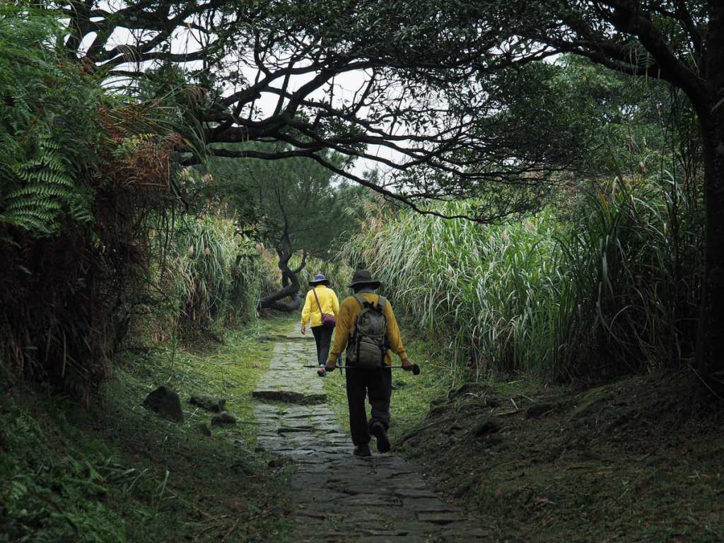
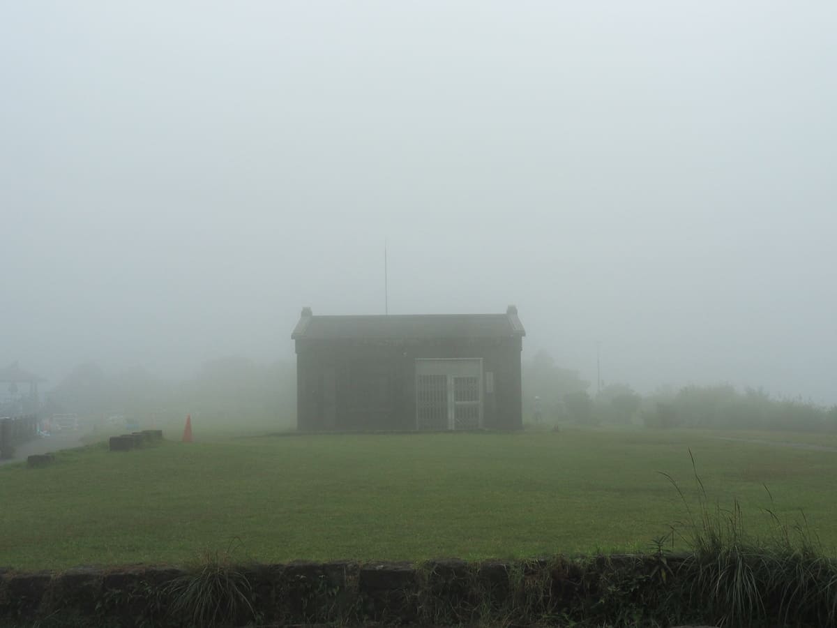
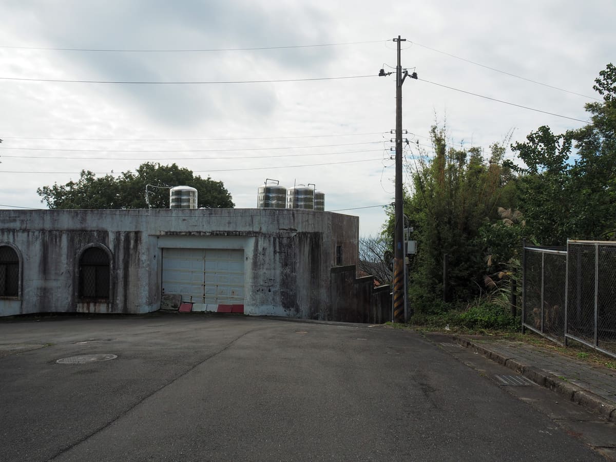
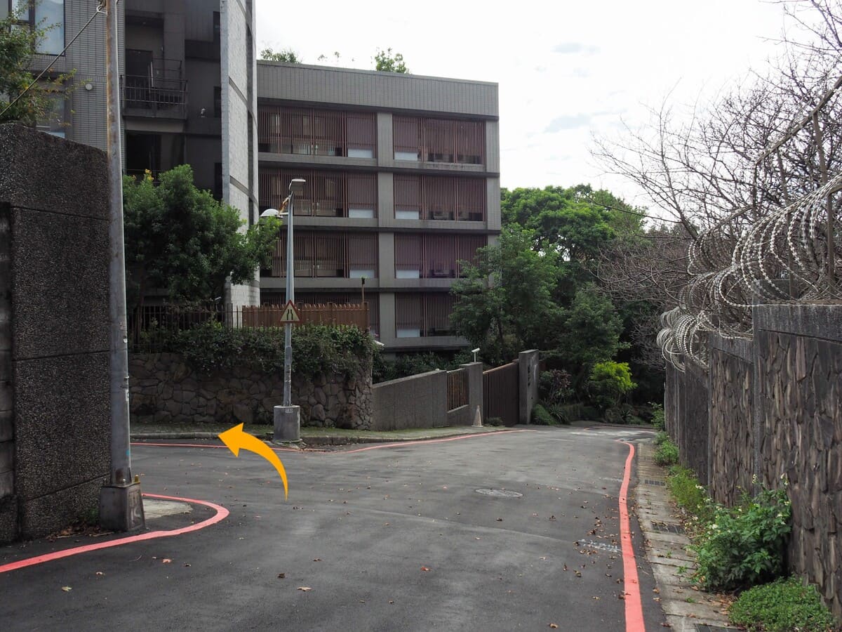
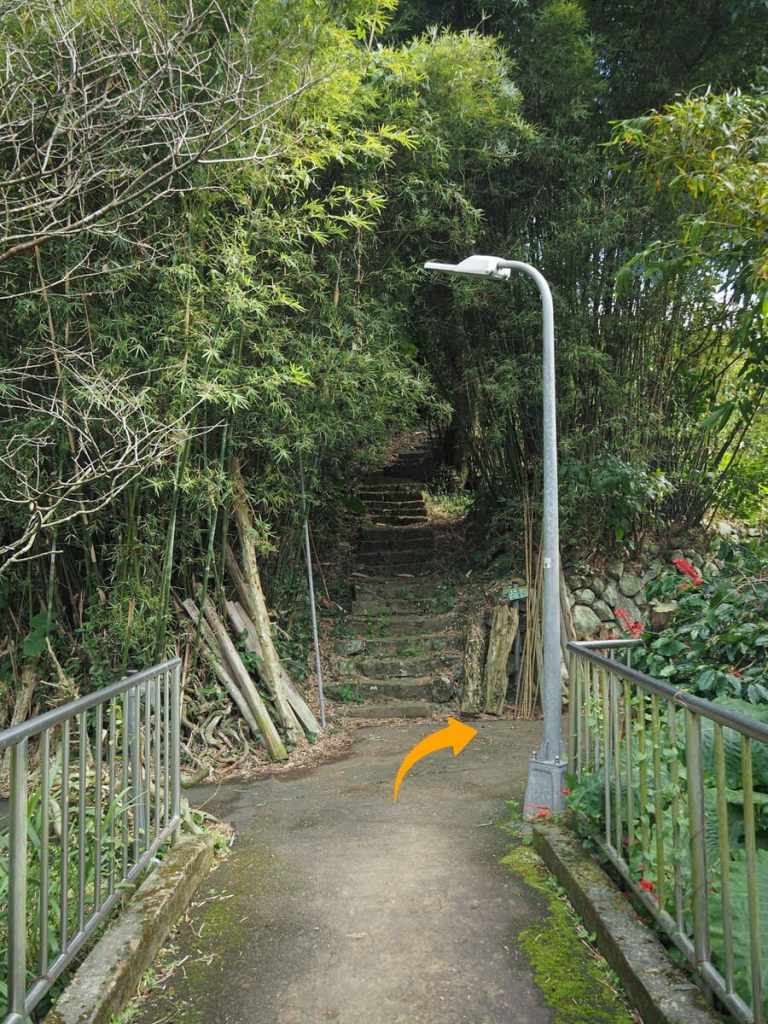
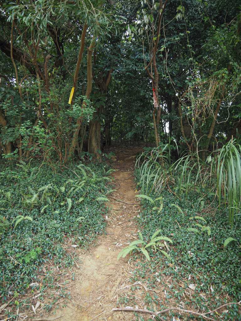
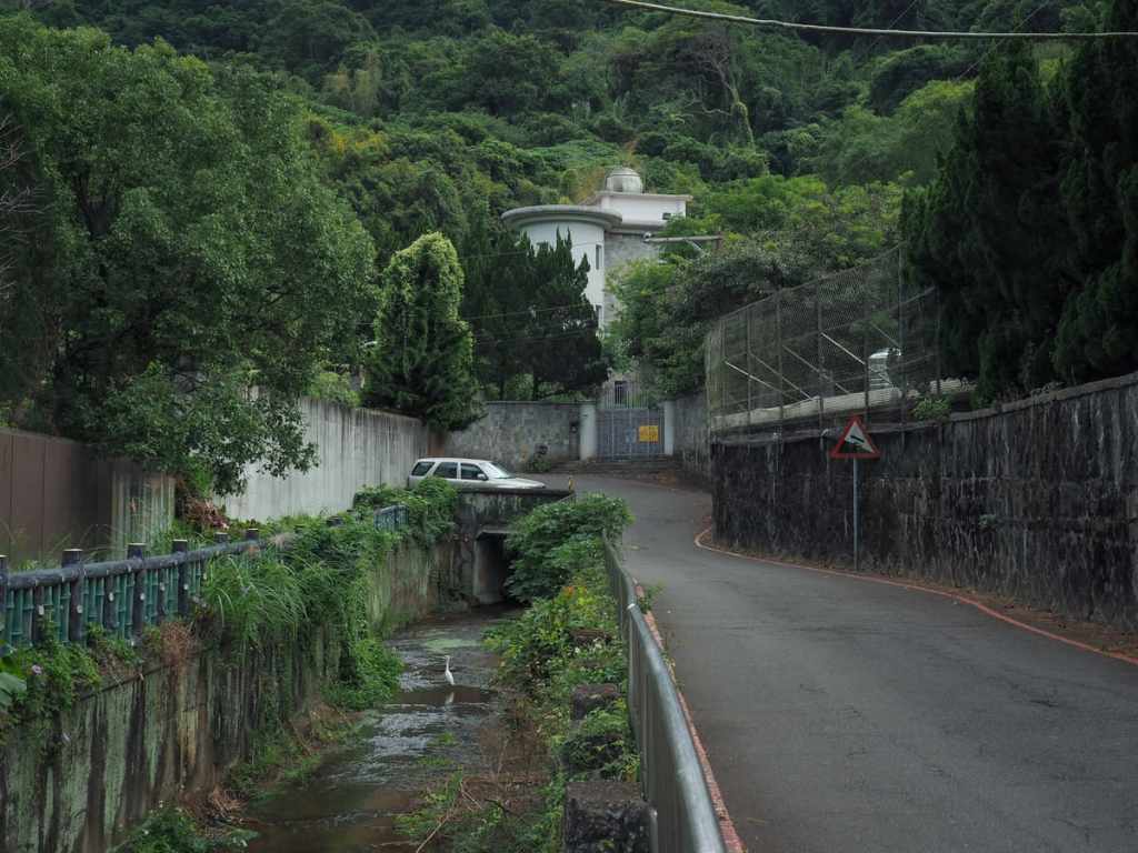
09:50 – The southern section of the Fisherman’s Trail runs between Qingtiangang and Shilin, so that meant I spent an uncomfortable half an hour being jiggled around in the back of a tightly packed minibus. To get going, head past the visitor centre (which was closed because I was there on the last Monday of the month), then take the steps leading uphill beside the small store.
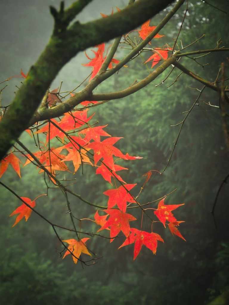
The maple trees beside the visitor centre shop were putting on a spectacular display of autumn colour.
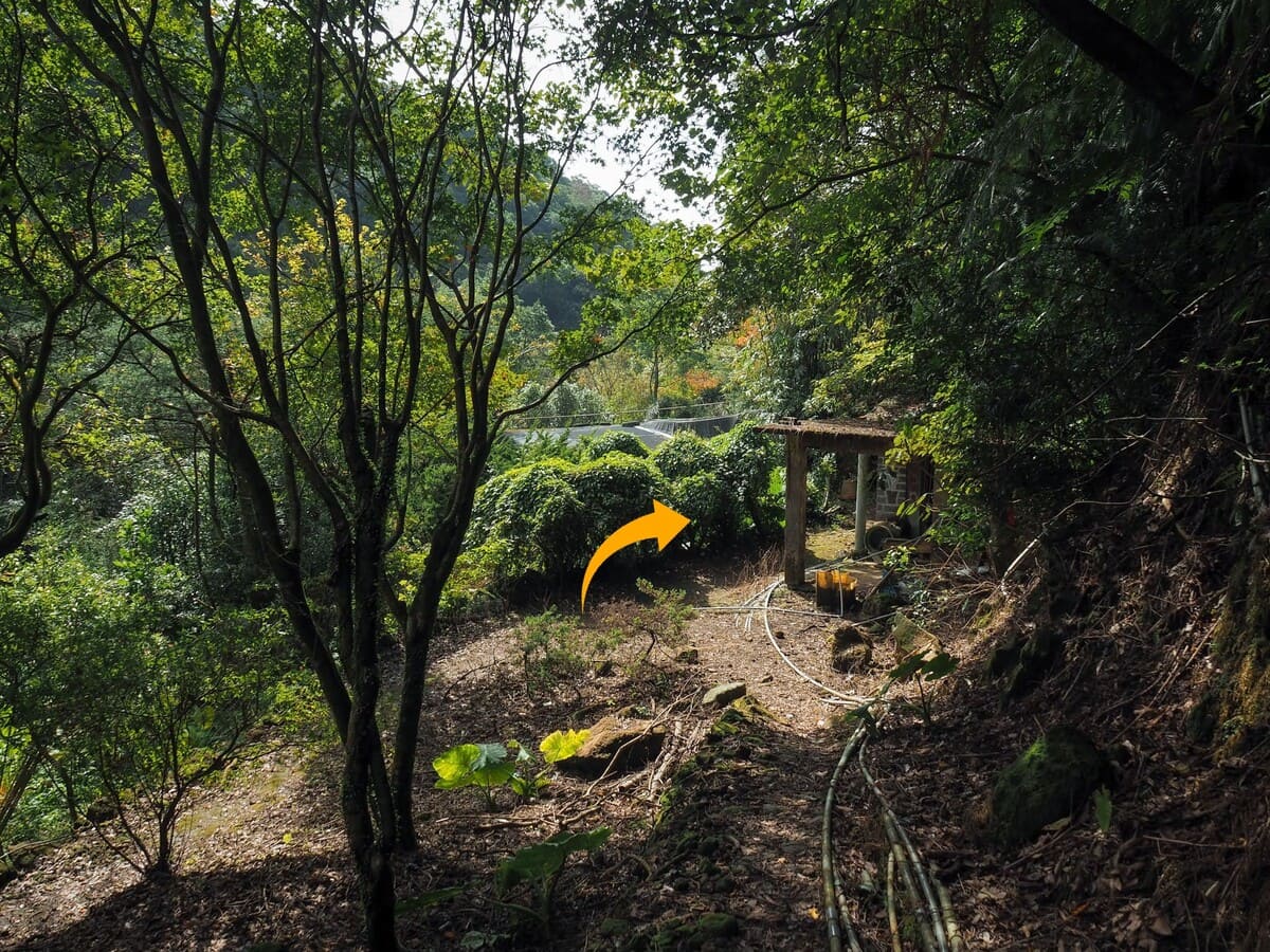
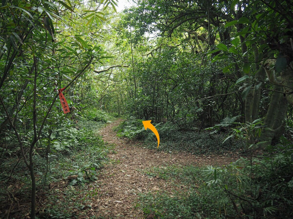
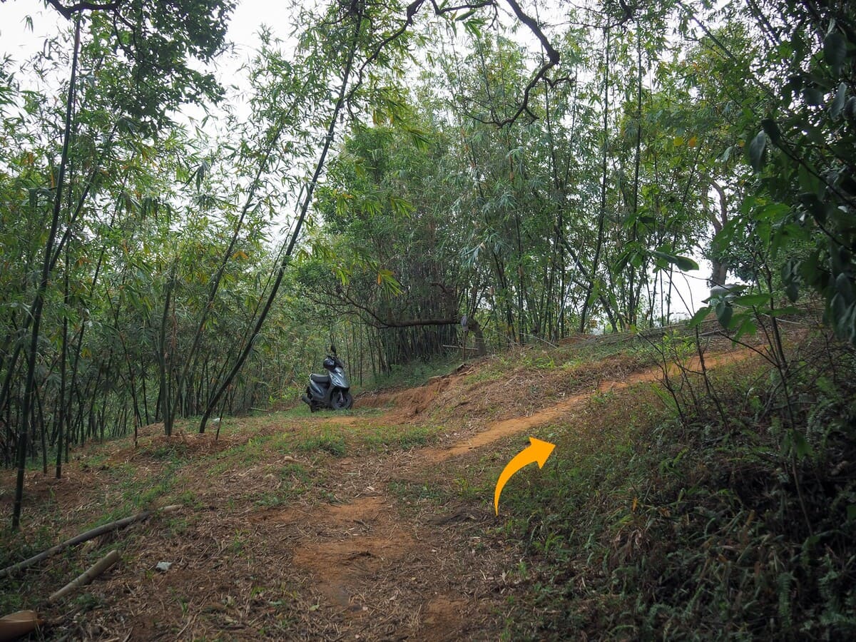
Instead of heading towards Qingtiangang Grassland, take a right turn following signs to Juansi Waterfall. Around the back of this storage building, you’ll find yourself on a stone trail leading downhill.
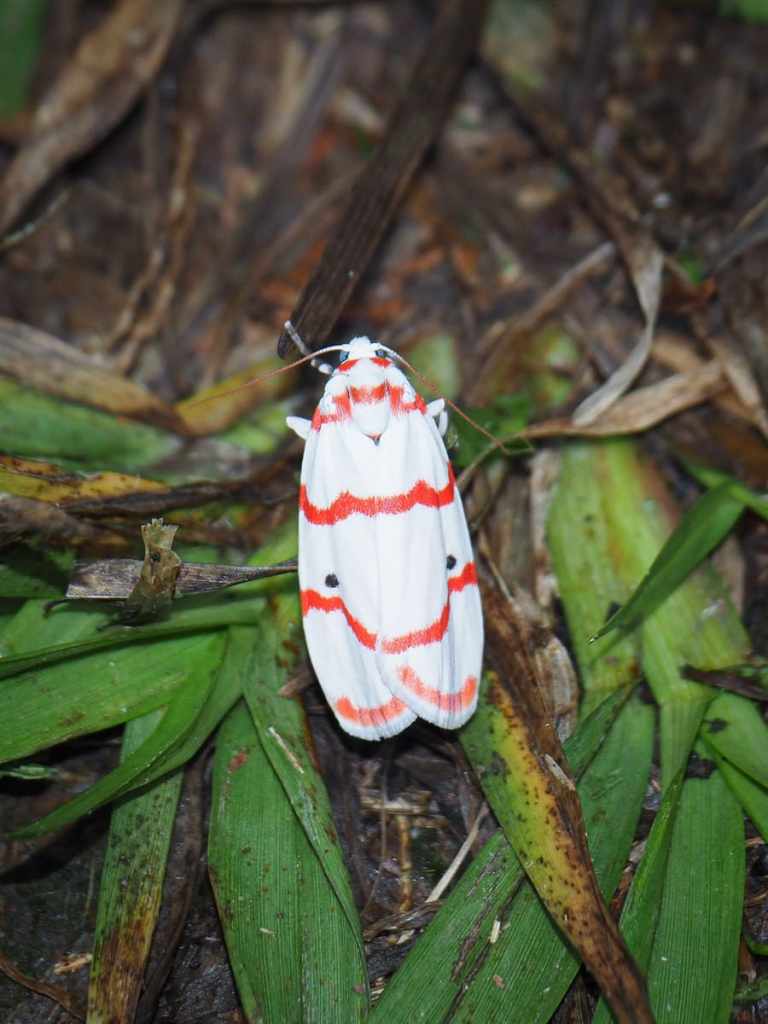
A snazzy Cyana hamata that stood out among the scenery’s greens, greys and browns.
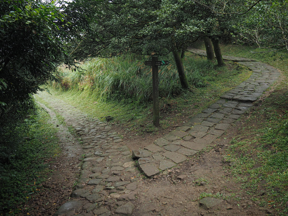
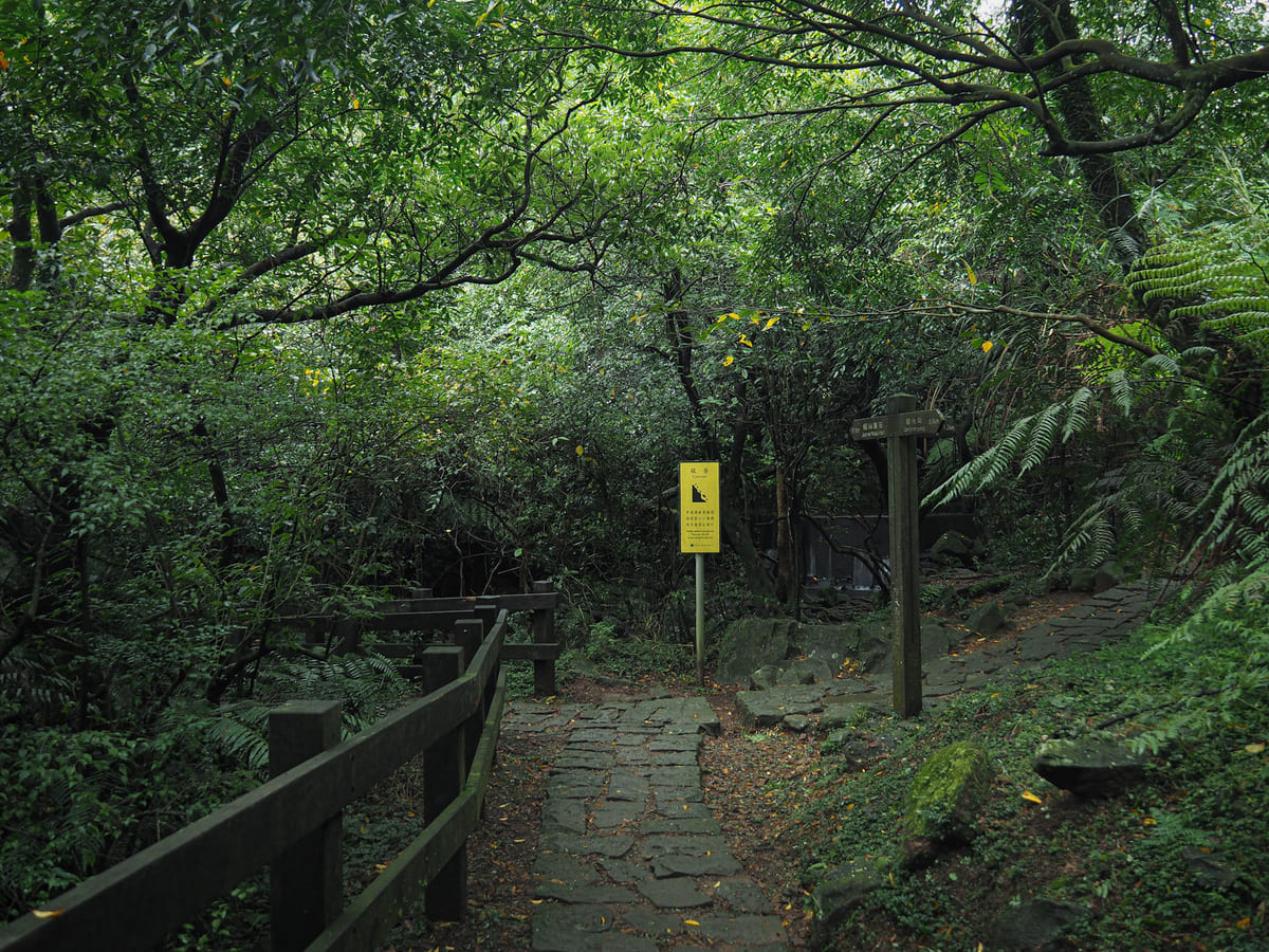
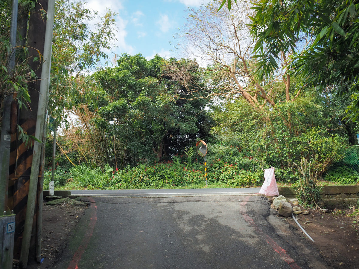
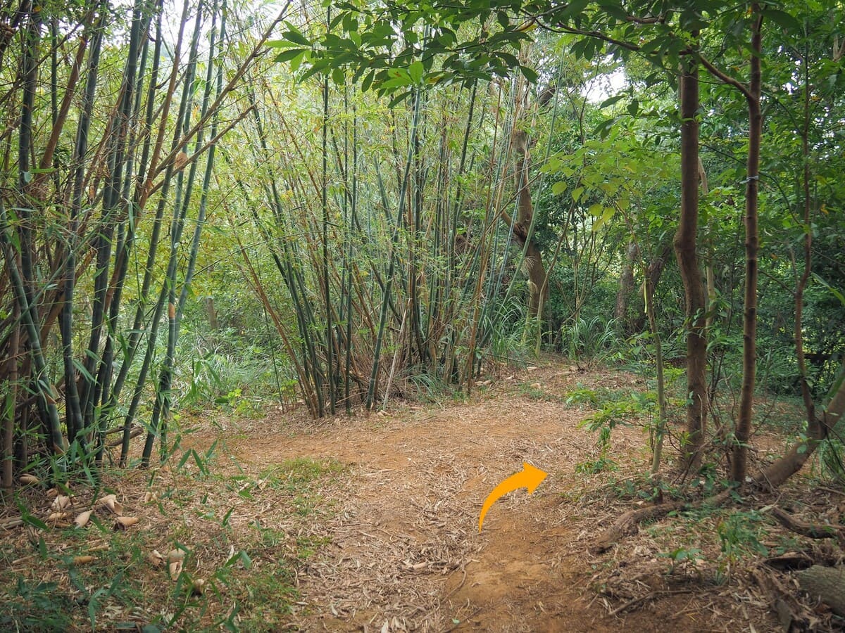
This trail has A LOT of junctions. The photos here will help, but making sure you have a map and/or GPX file to follow would be even better. At this first junction, head right, then at the section junction take the left—in both instances, the path is signposted as going towards Juansi Waterfall.
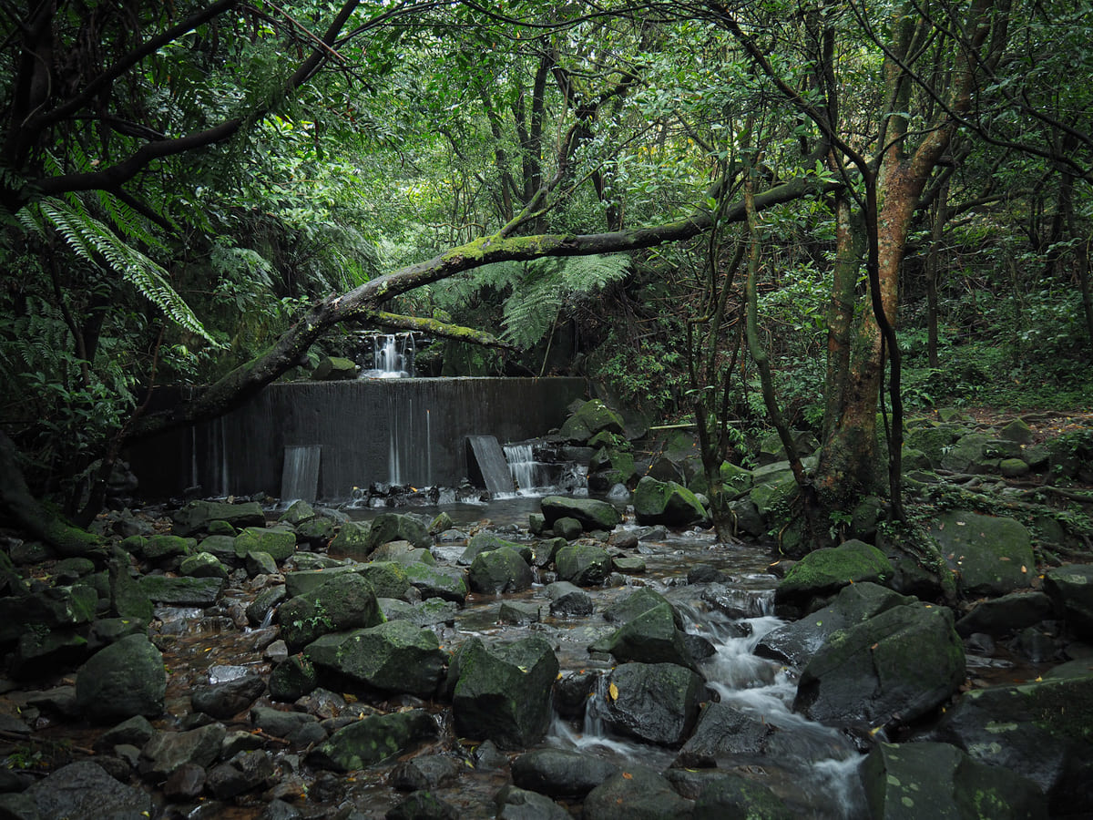
10:10 – The trail runs down to meet Zhusong Stream (竹嵩溪). Turn left and cross over the water and keep following signs towards Juansi Waterfall.
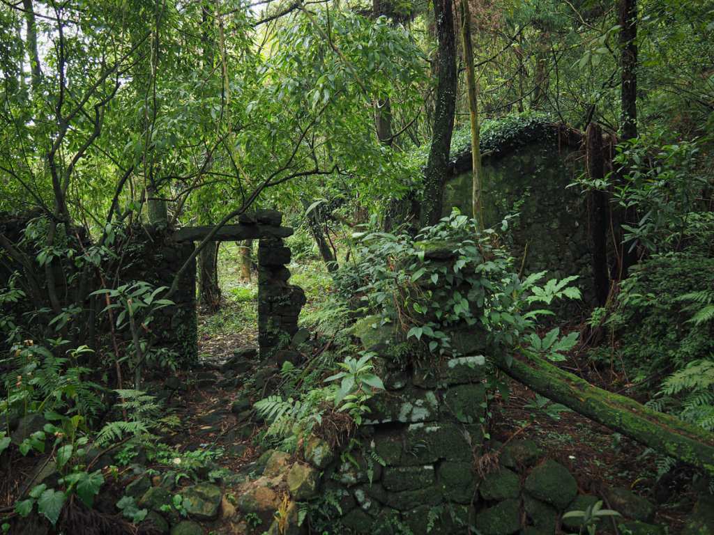
Look out for a signboard on the right drawing your attention to these old ruins. It belonged to the Taipei Farmer’s Association and is the former site of the Yangmingshan Farm Office. Back in Yangmingshan’s cattle farming heyday, association employees lived and worked here.
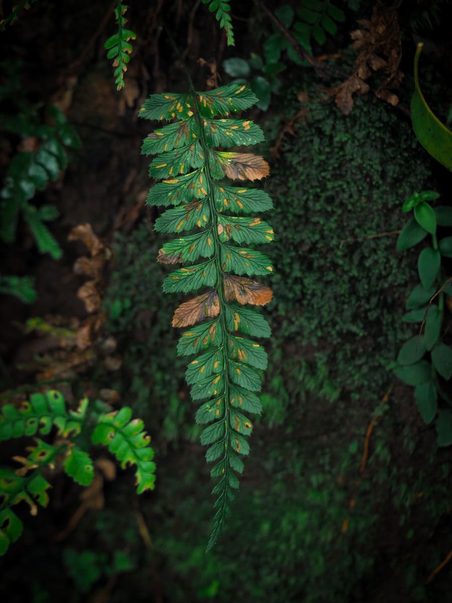
A fern frond that appears to have been decorated by a bug.

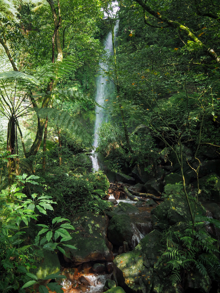
10:32 – Juansi Waterfall is marked by several picnic benches.

The falls were more impressive on this visit than they had been the last time I passed by, but it’s not so easy to get a clear view of them.
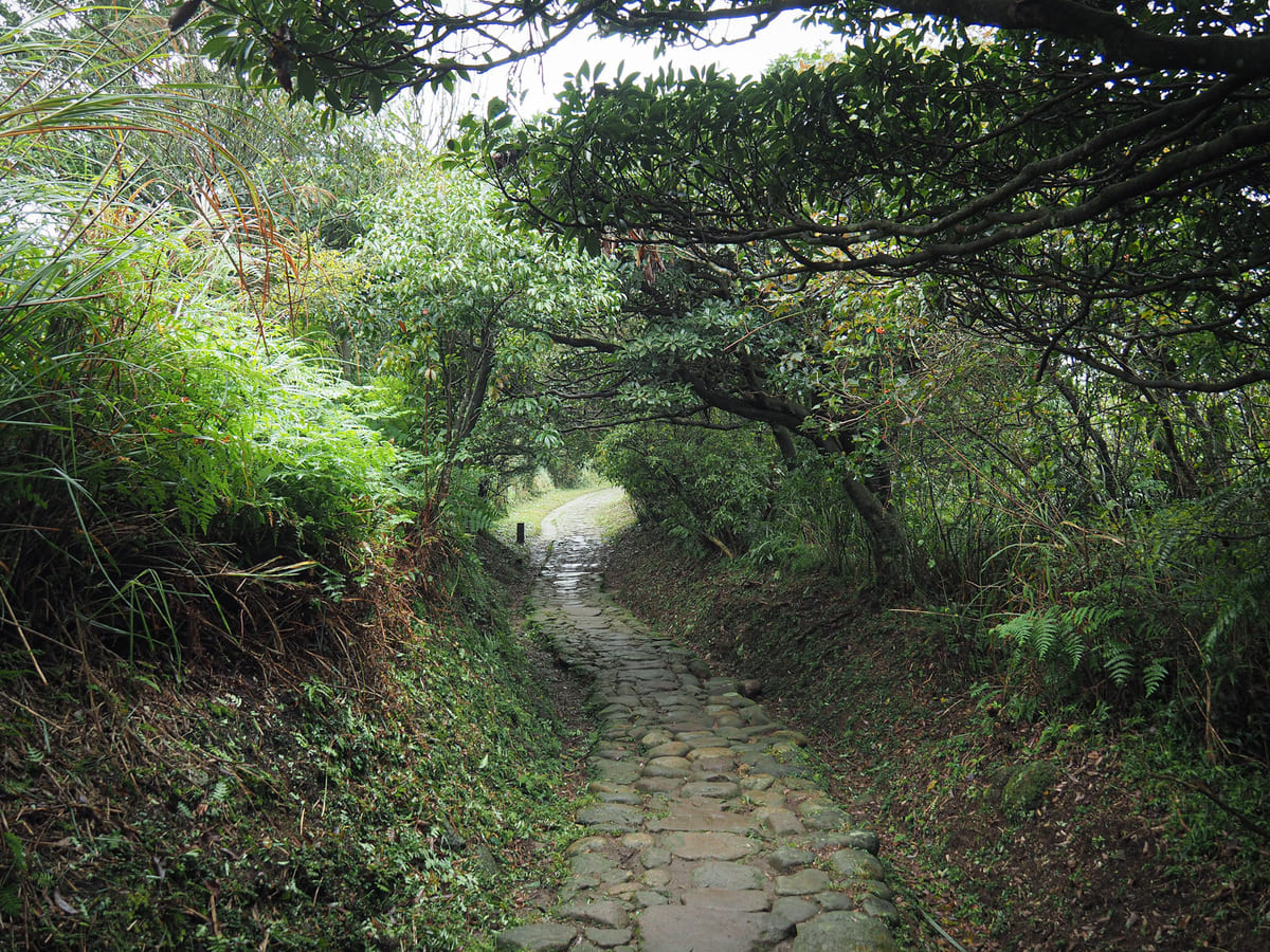
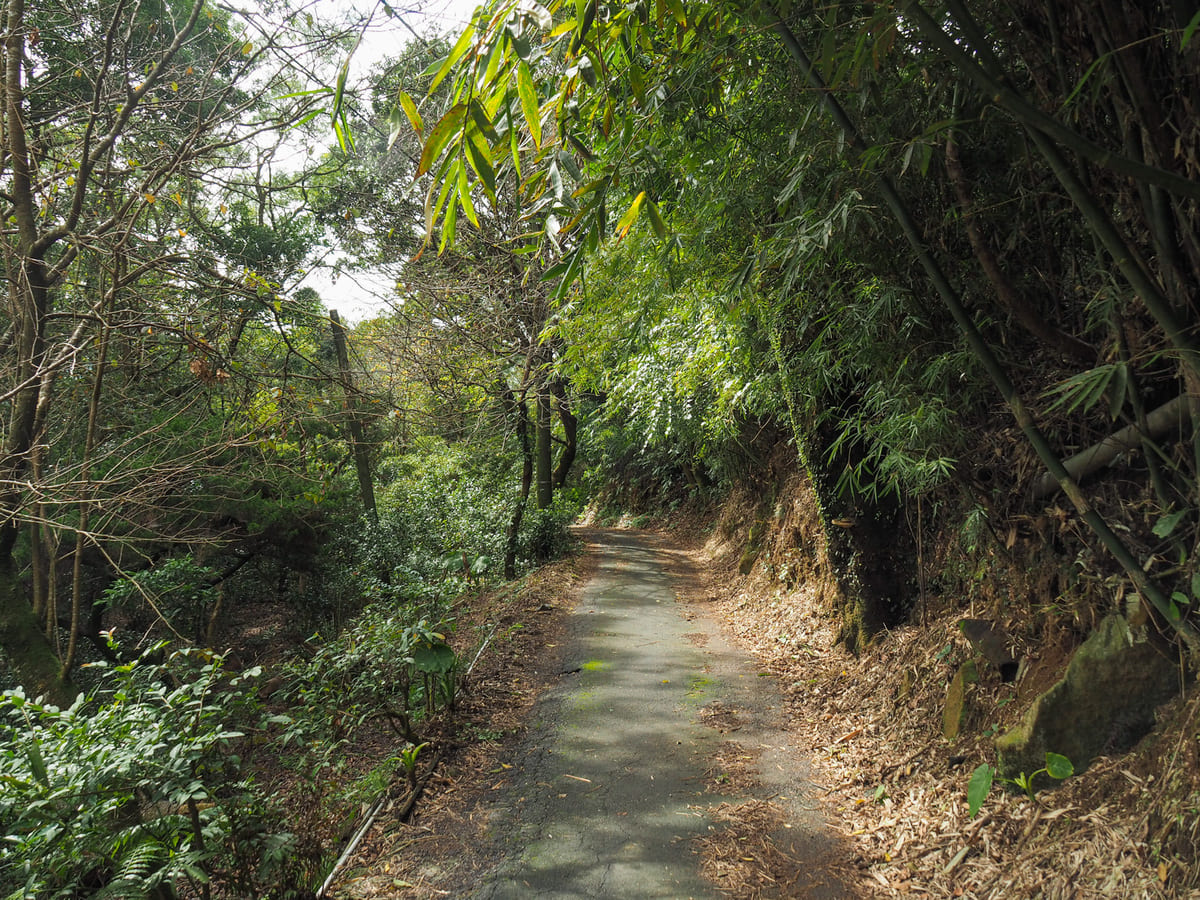
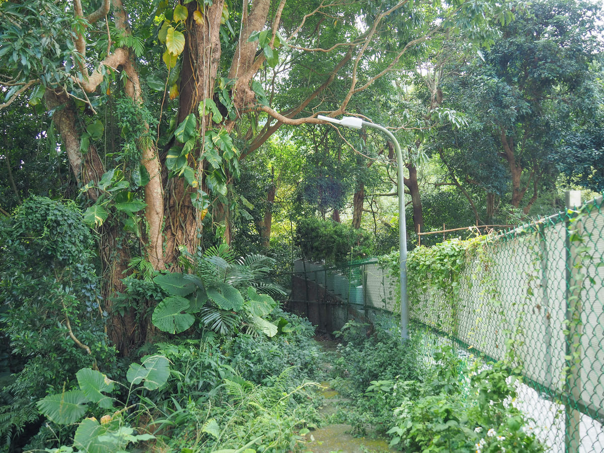
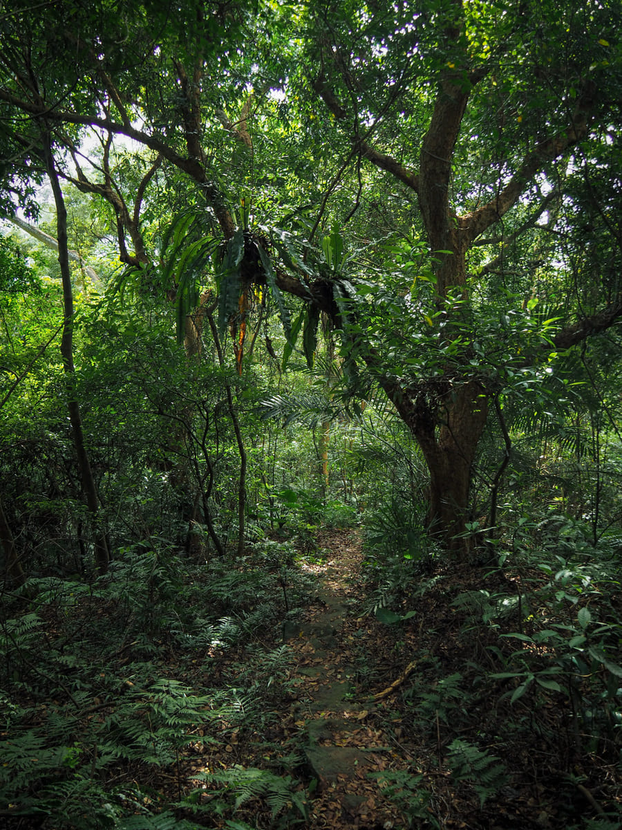
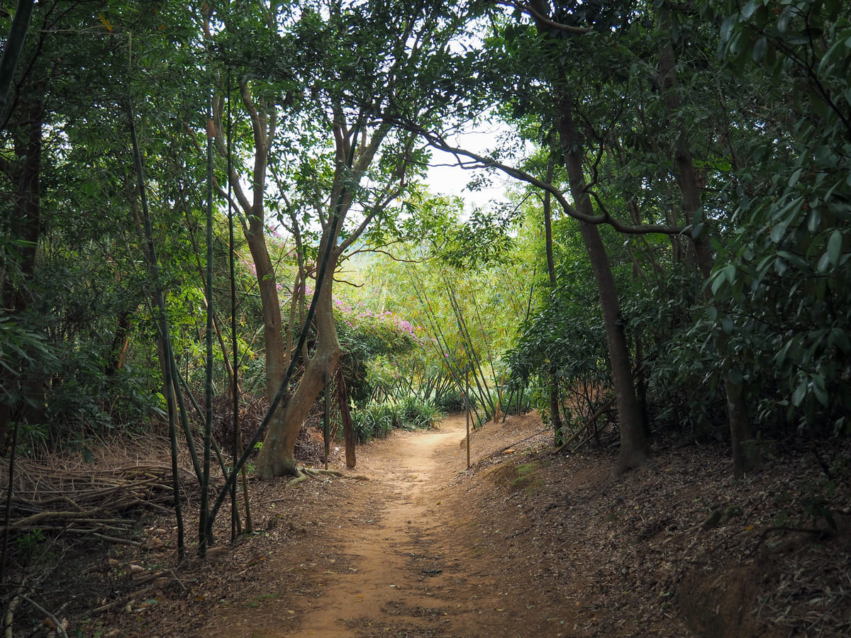
From here, the path continues down, following close to the stream. It’s lush and beautiful and smells divine.
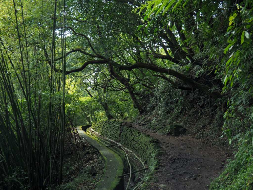
After a while, the path falls instep with Shanzhuhu Irrigation Canal (山豬湖). This is one of many similar irrigation channels that were built in the area from about the 1800s onwards, this one was built at some point during the Japanese occupation and no longer holds water along the whole of its route.
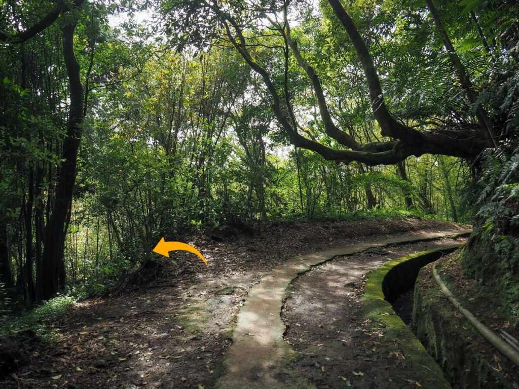
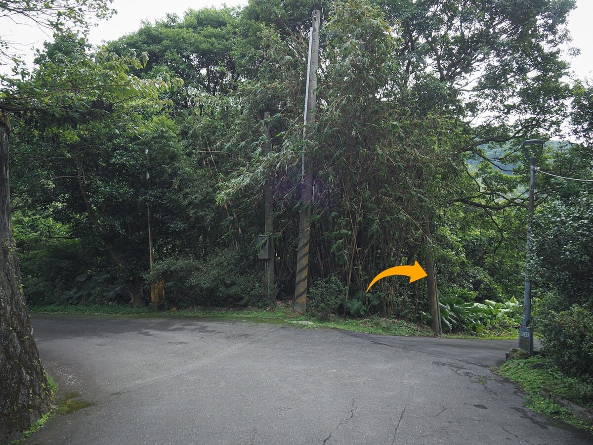
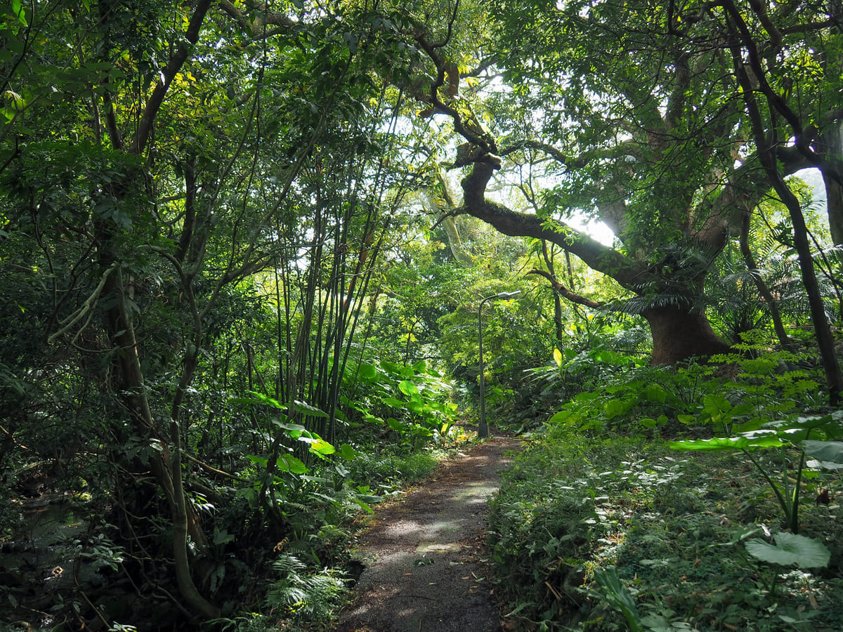
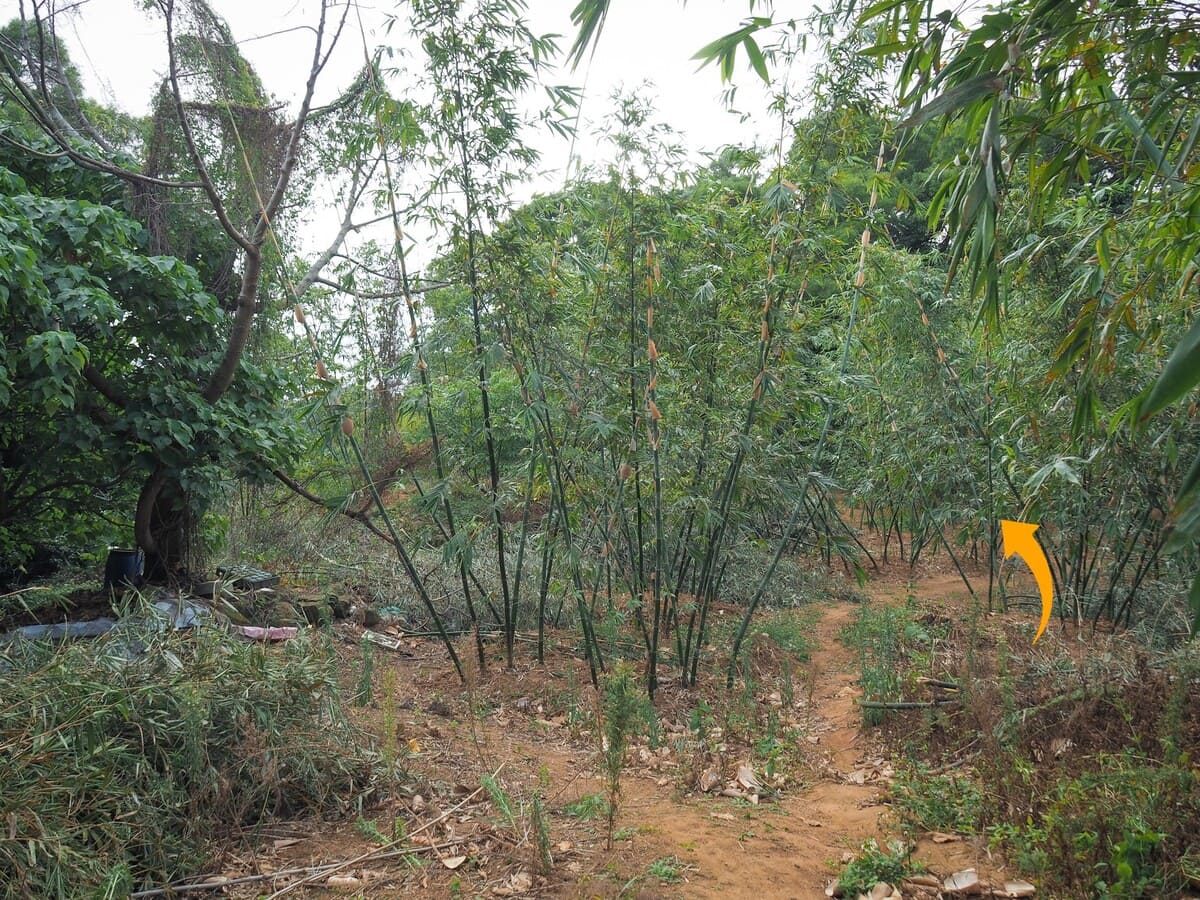
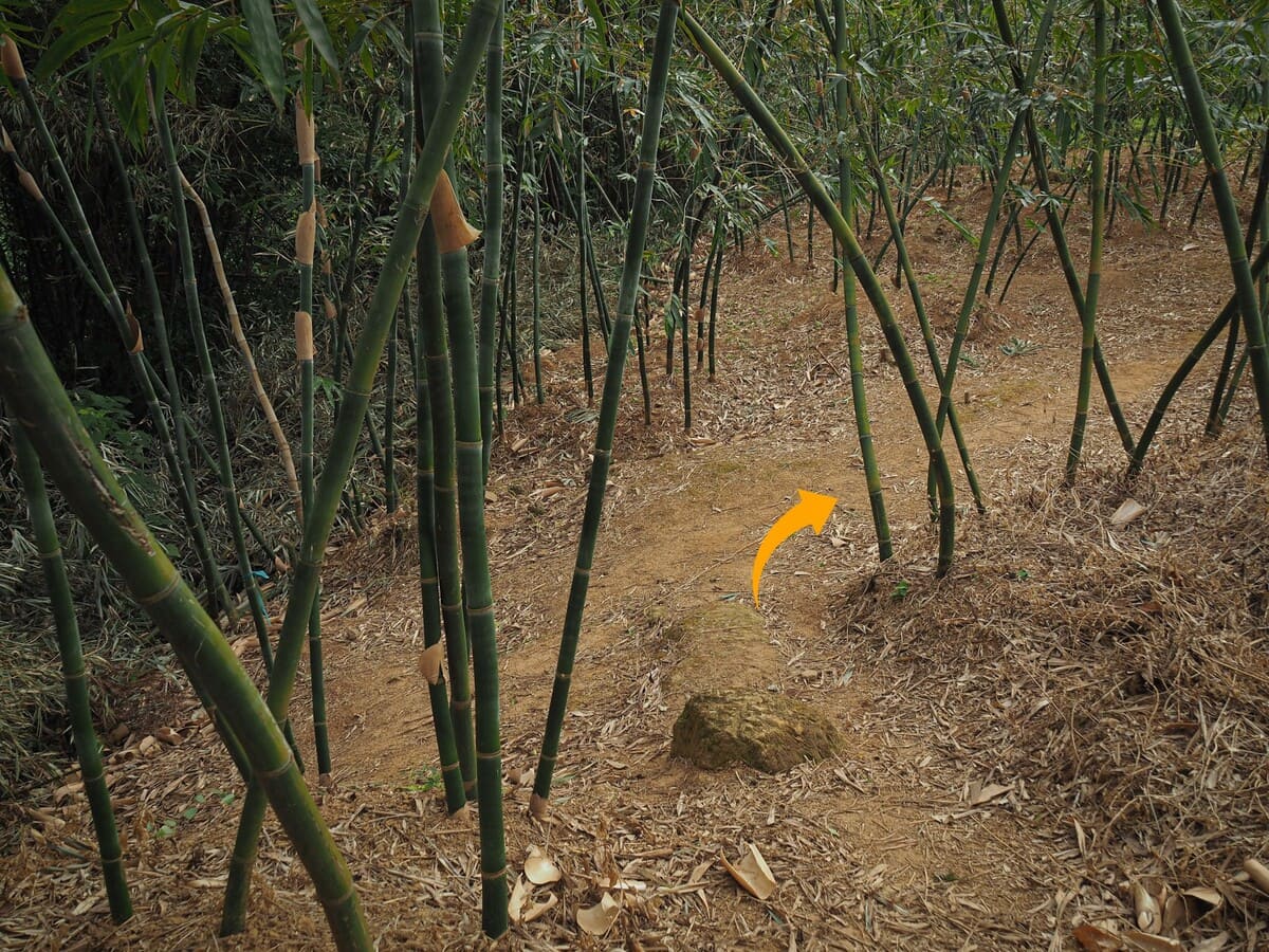
10:54 – You’ll need to keep your eyes peeling for the next junction. I overshot by a hundred metres or so and had to retrace my steps to find the path leading off the main trail on the left here. From this point on, the remainder of the day’s journey follows a stitched-together mishmash of all-but-forgotten historic paths crisscrossing the roads that replaced them.
After a brief but steep and zig-zagging descent, turn right onto another path.
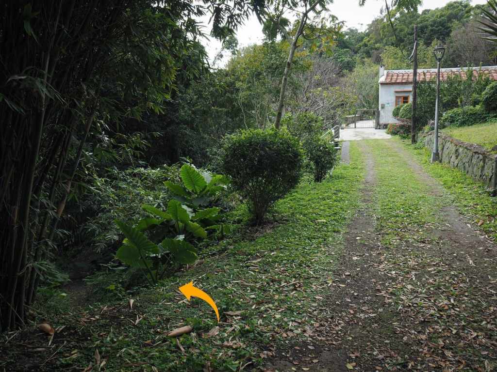
I found myself passing an abandoned temple and heading through what seemed to be an abandoned garden before joining a track.
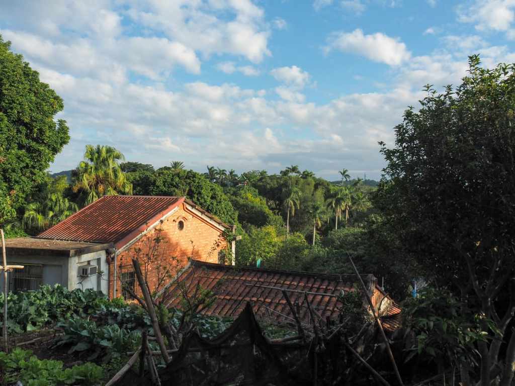
The track passes a couple of houses and an area which I would probably call an orchard—or at least I would if the trees were fruit trees, but they’re mostly not.
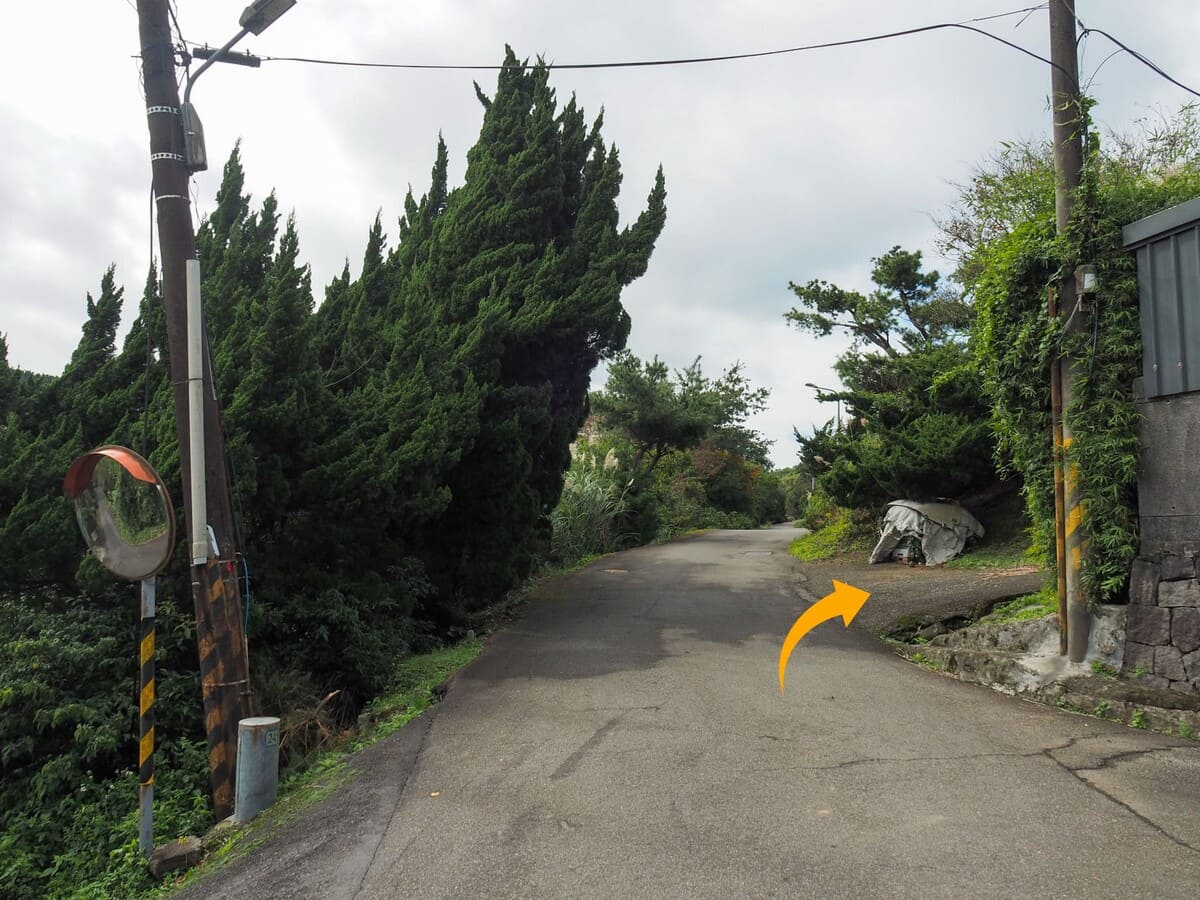
Keep heading straight up the track past several houses. Then at the junction with the mirror, turn right up a path running between a property and a patch of unused land.
11:18 – The grassy path becomes a flight of steps which becomes a narrow path leading you alongside a row of private houses.
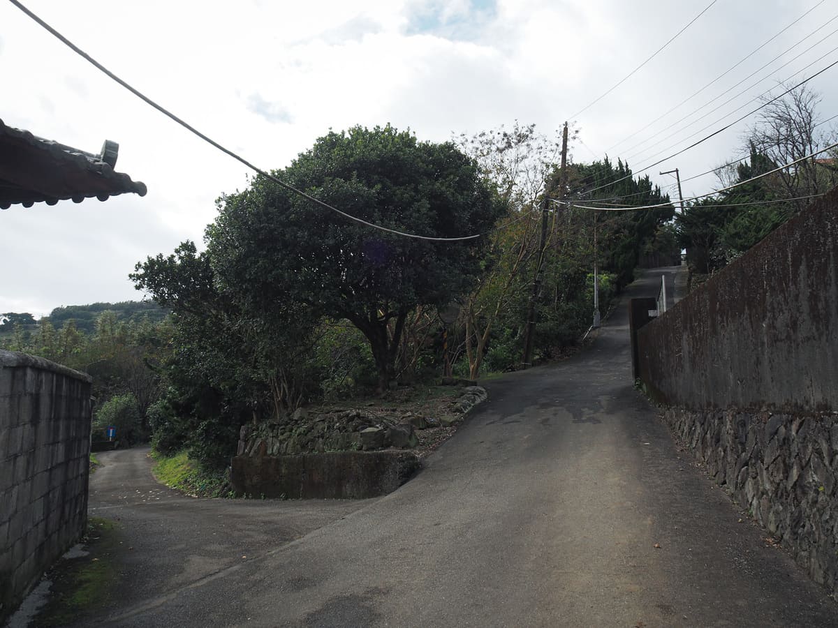
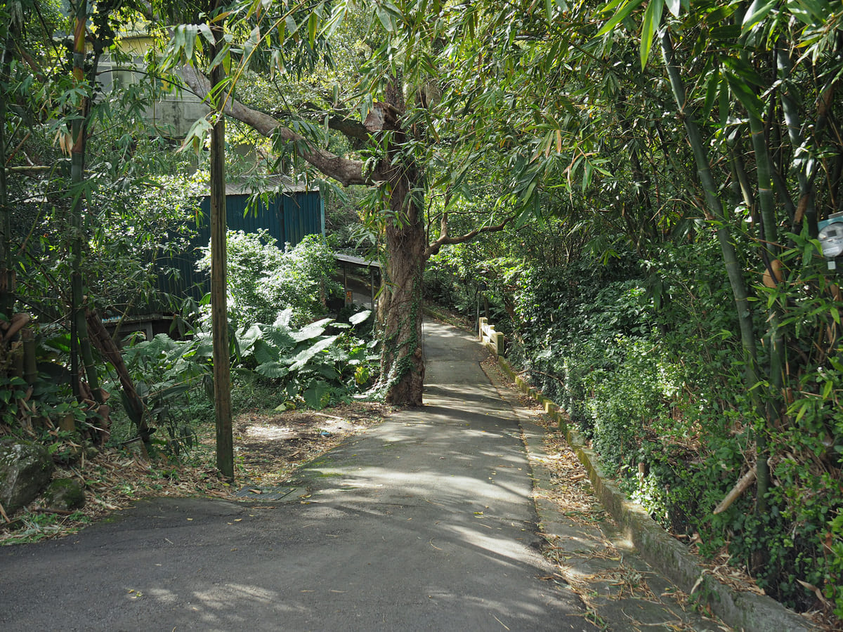
Once you’re past the houses, you’ll arrive on Jingshan Road. Turn left onto the road, then stick with the road as it veers to the left and begins to head downhill.
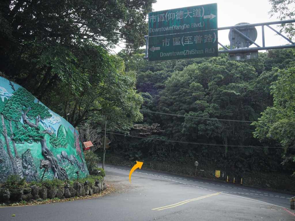
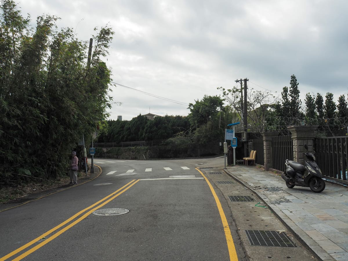
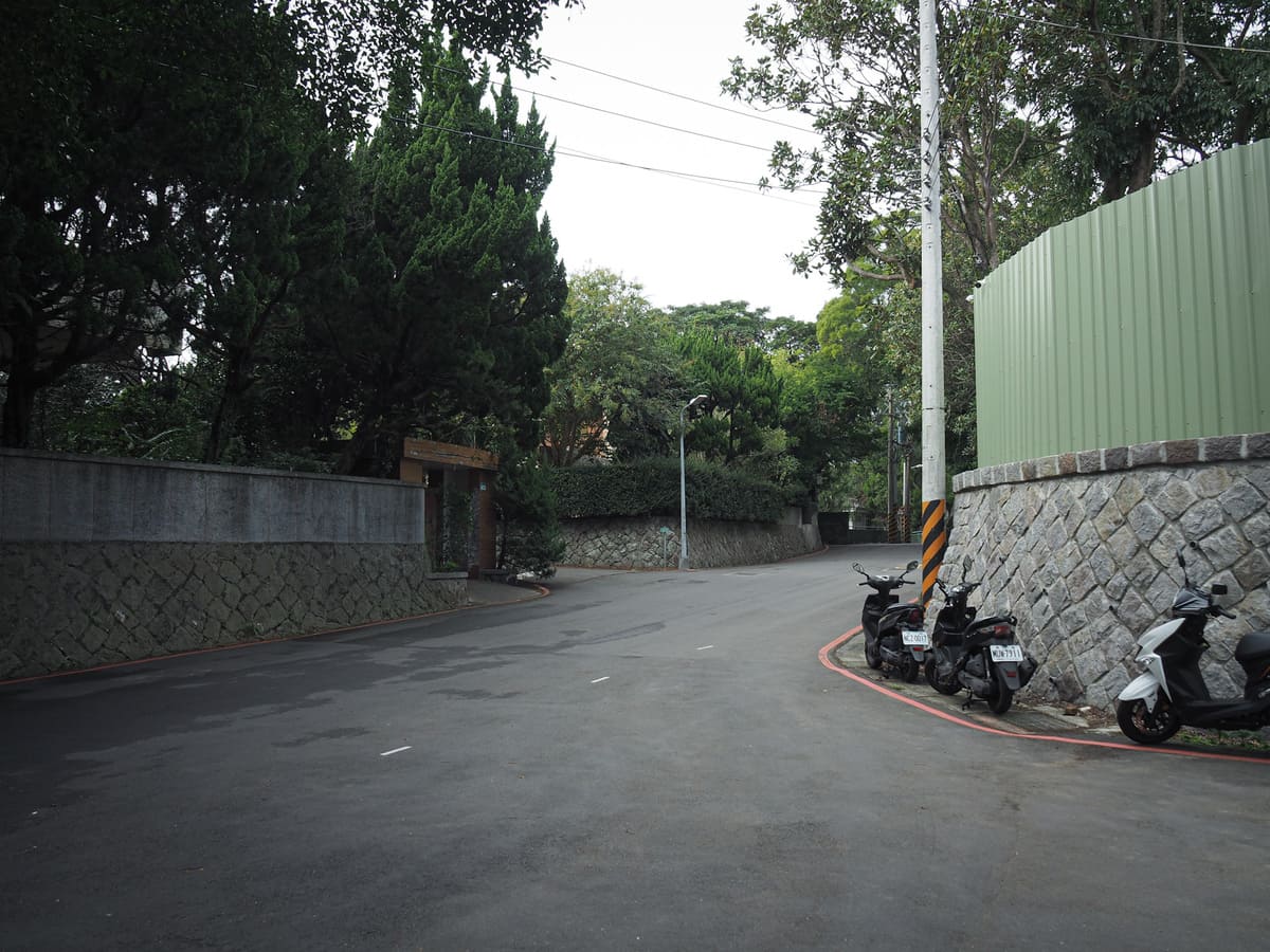
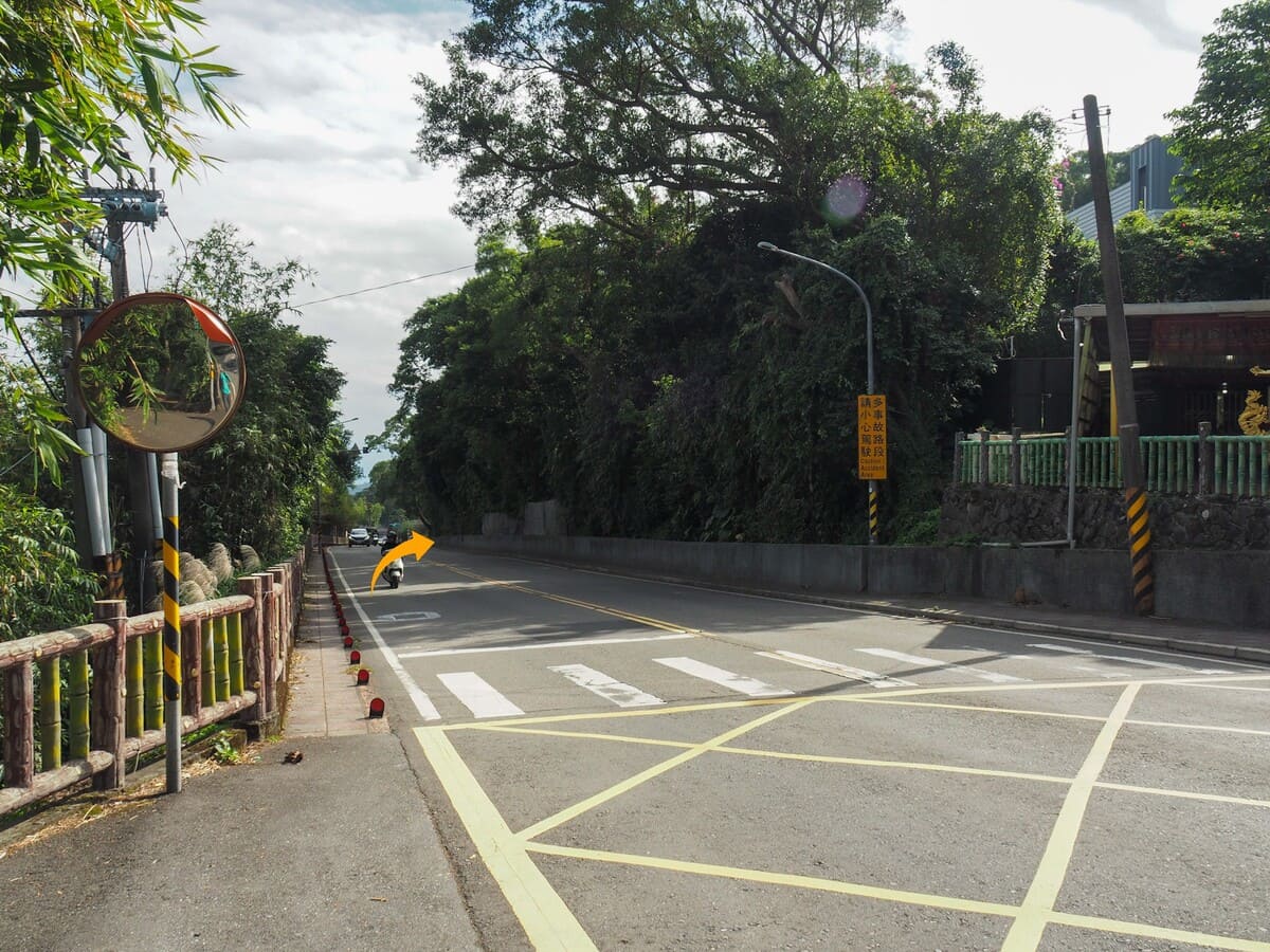
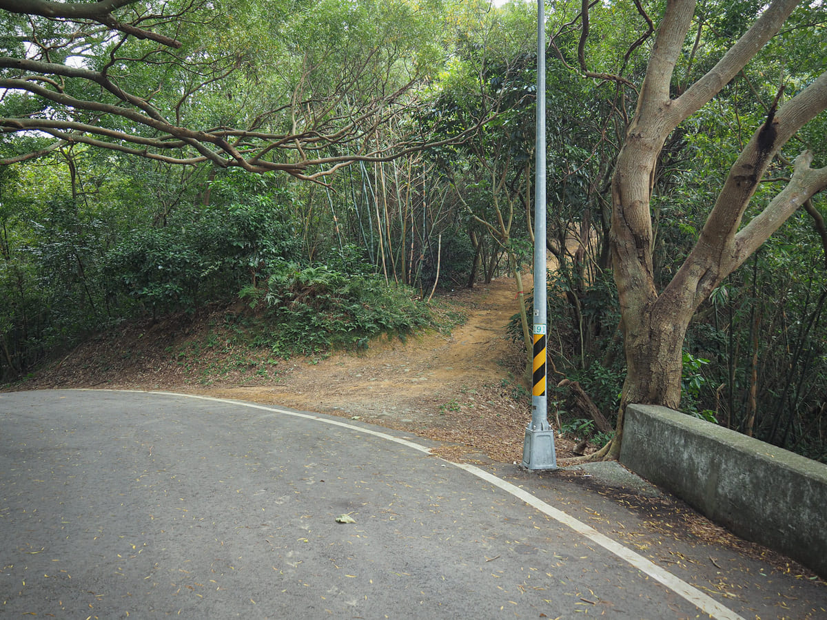
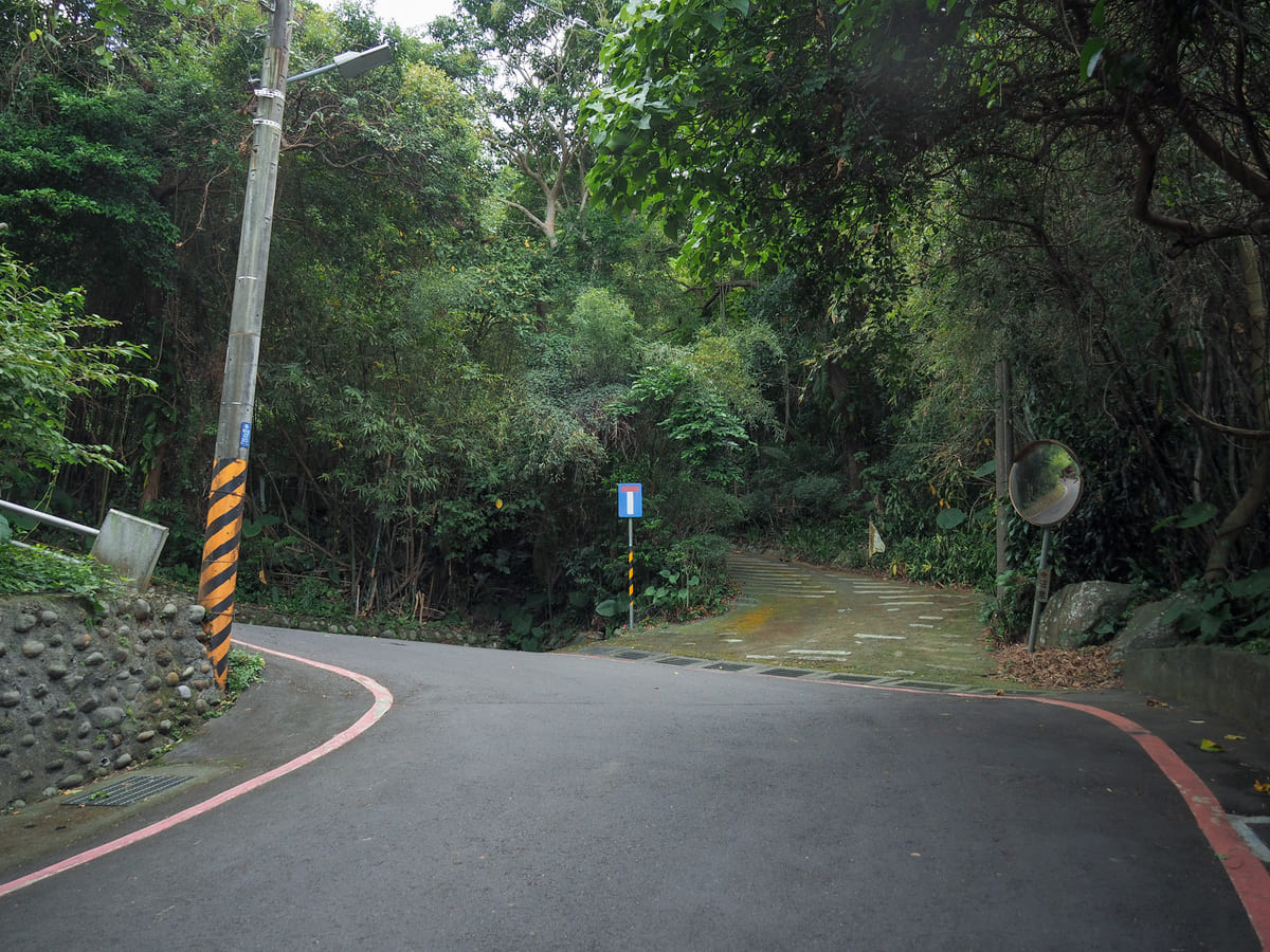
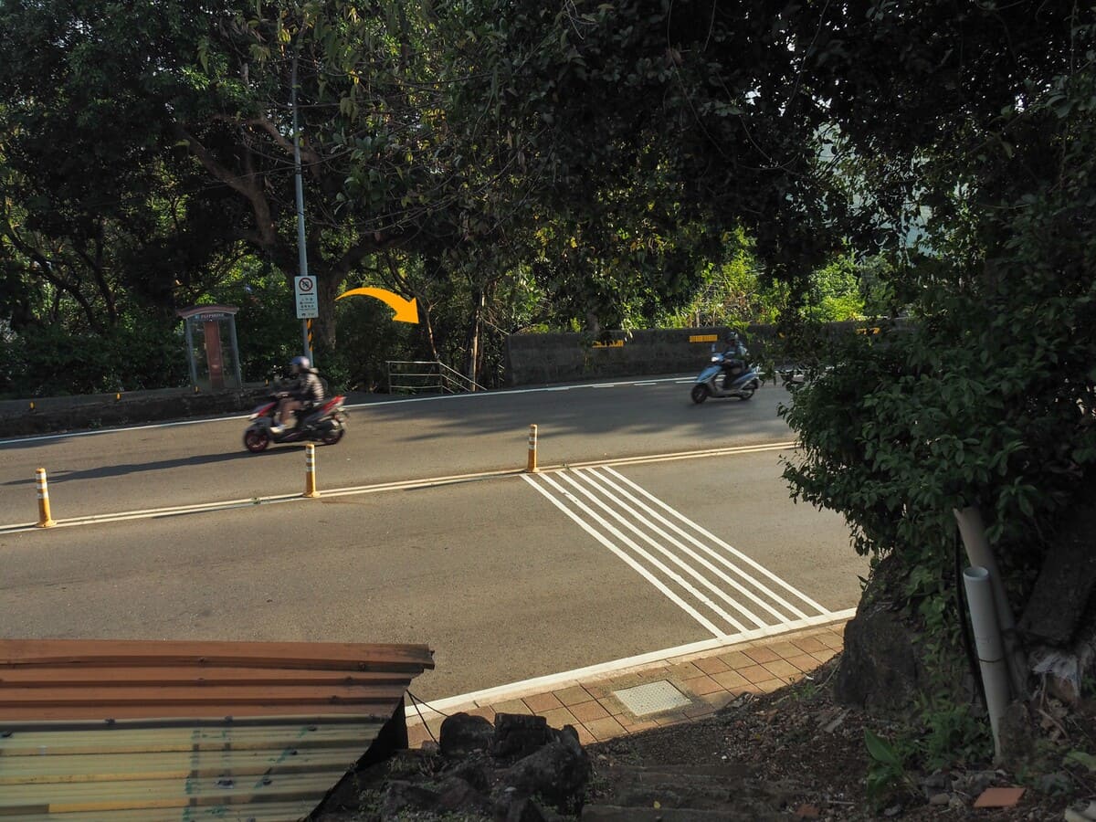
11:33 – Jingshan Road soon brings you down to this big junction. Head straight over and find the faint trail heading up into the greenery on the far side.
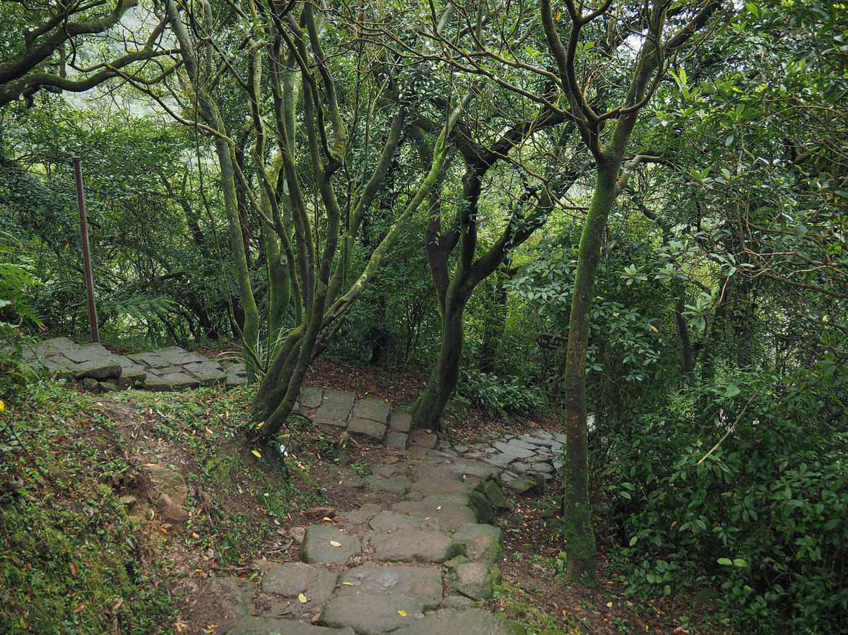
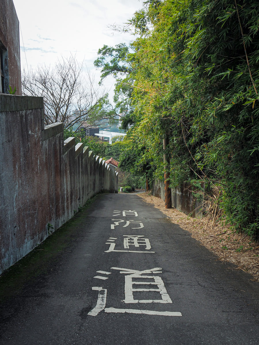
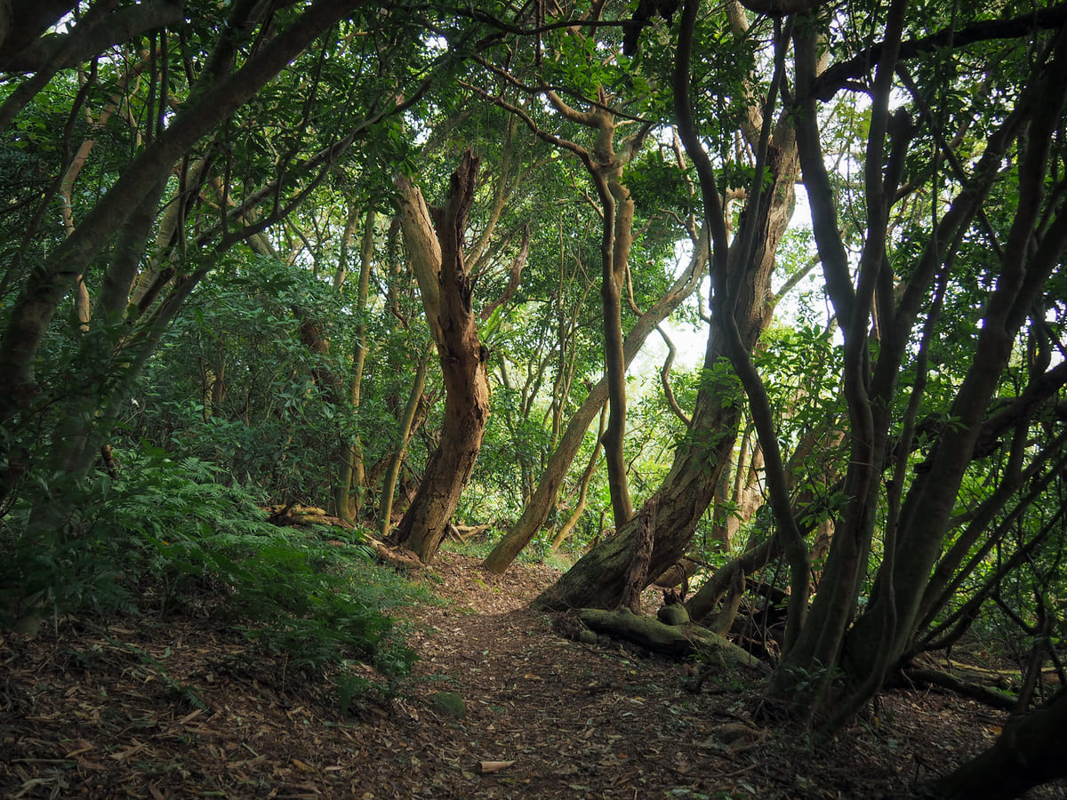
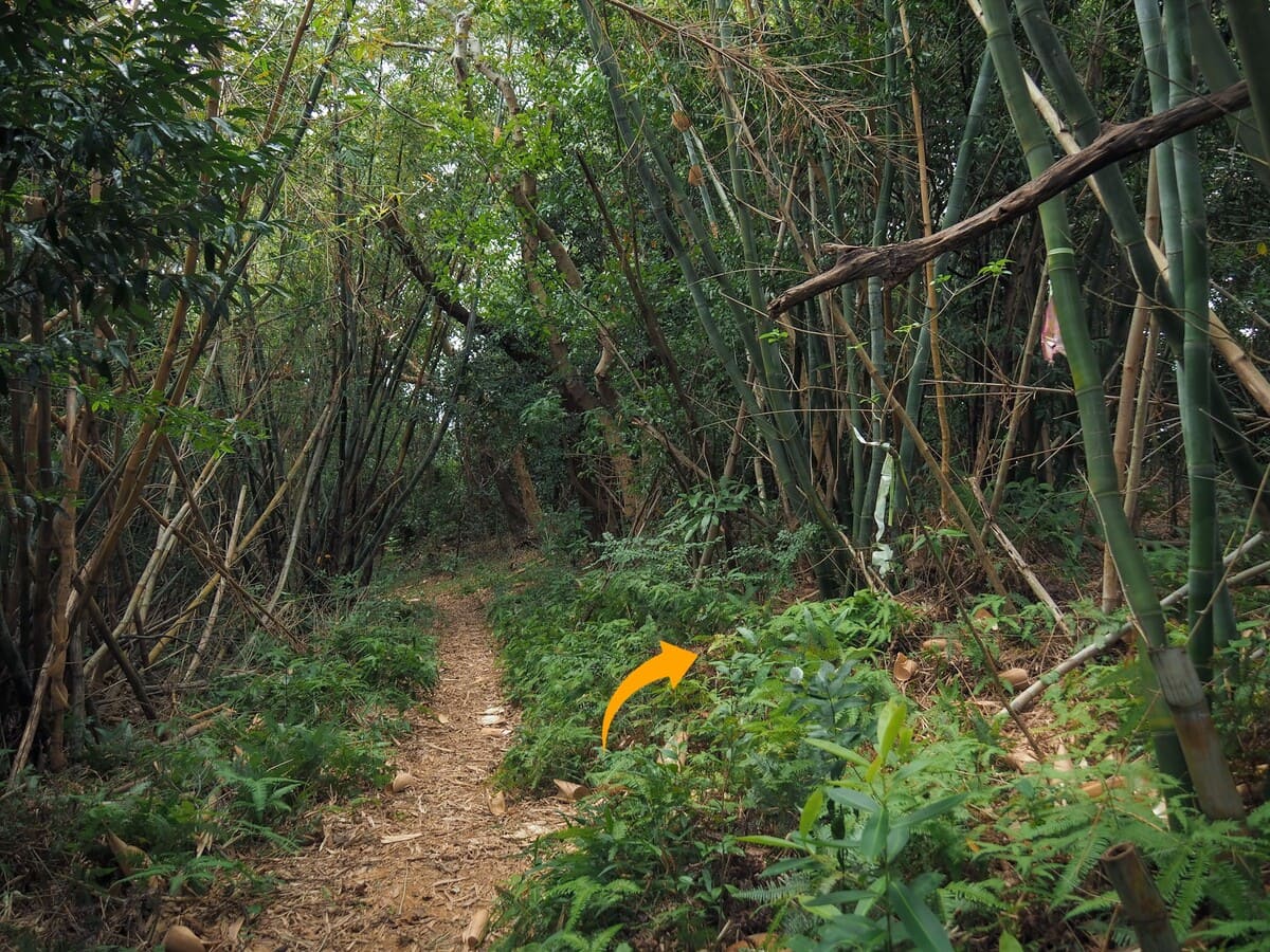
This section of old trail is very obviously almost forgotten. I tramped over shell ginger leaves and through spider webs following the almost imperceptible path.
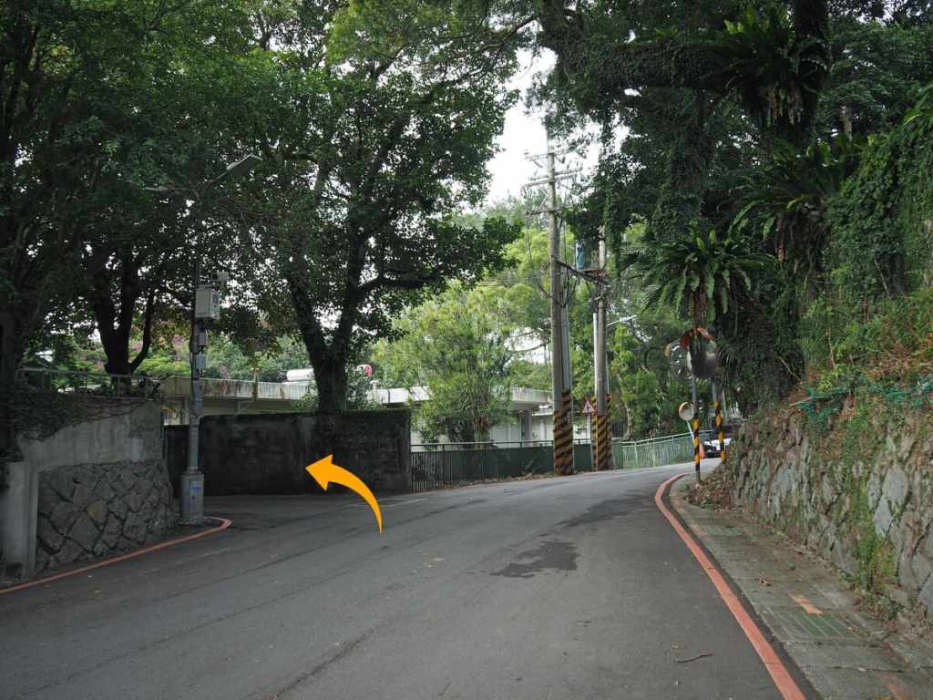
11:44 – After around five minutes, the trail emerges onto a higher road. Turn right and follow the road to what looks like a dead end. It’s not a dead end; the route continues down a narrow lane on the right of the dirty white building.
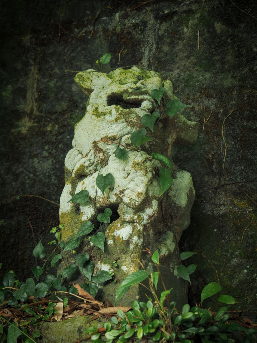
The road heads down past a long-abandoned temple. Only the archway and a pair of guardian lions give away its location.
There were a lot of maple trees planted alongside the road here, adding colour to the ground.
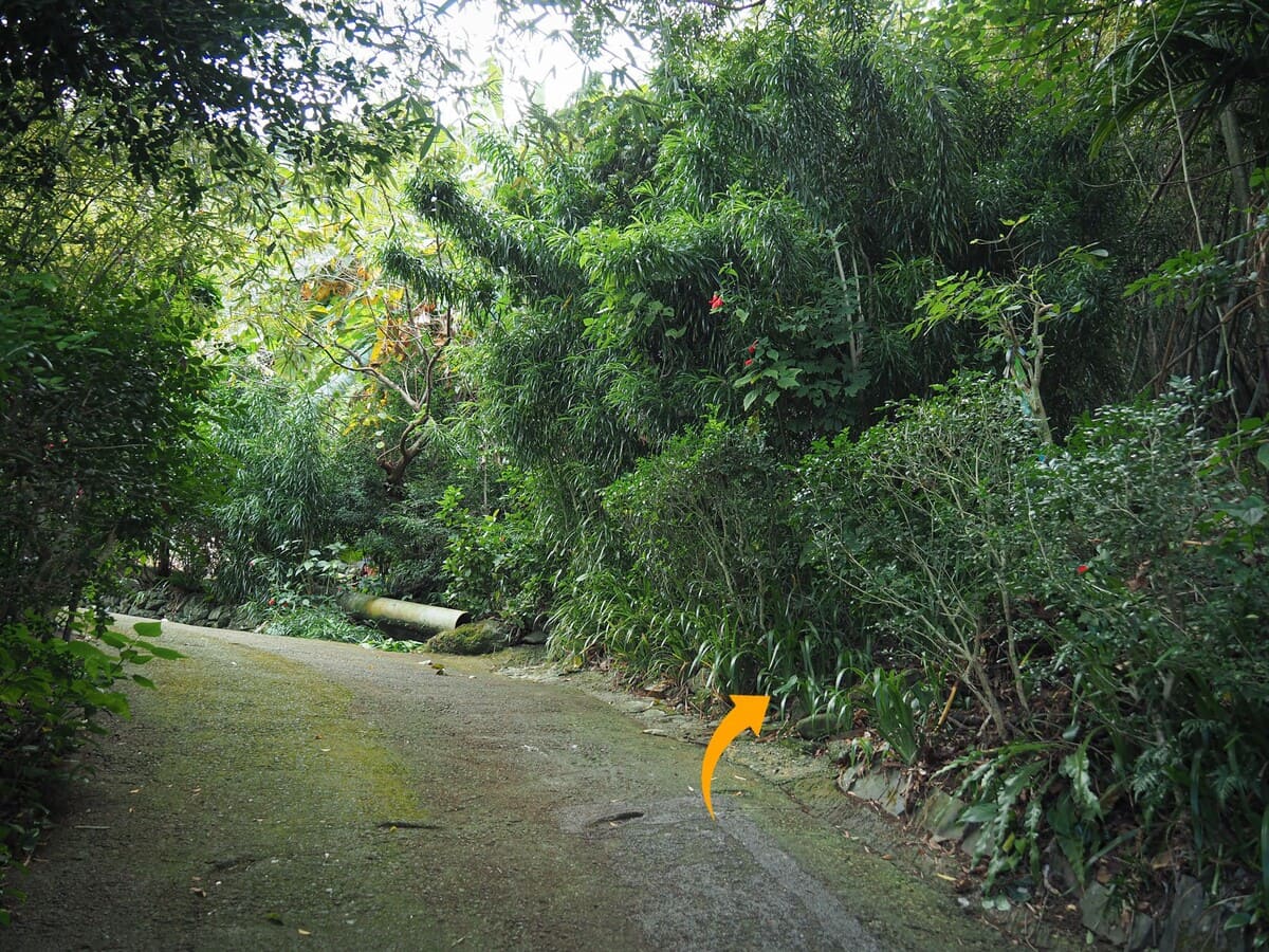
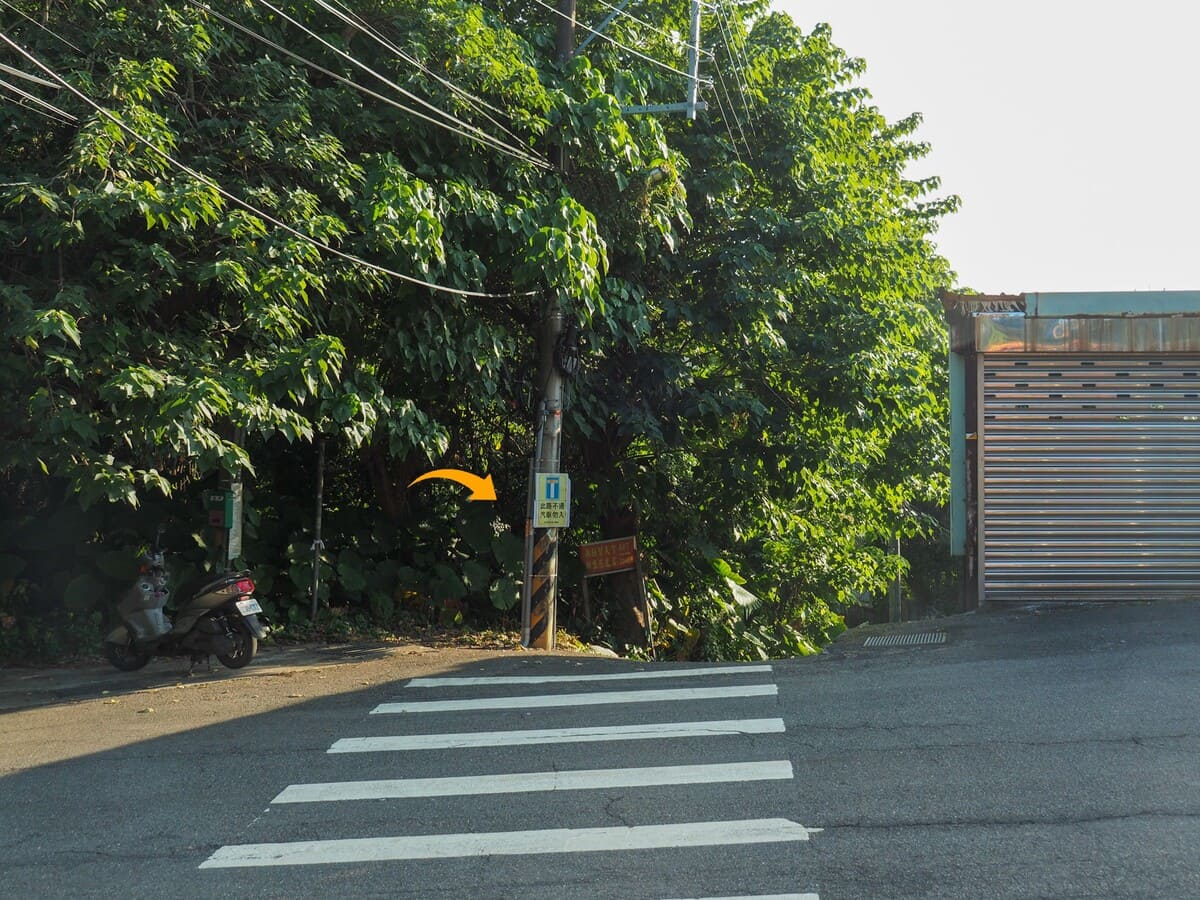
11:53 – At the next junction, turn left onto Jingshan Road, Lane 20, then after about twenty metres, turn off the lane and head down an unnamed alley.
11:55 – The alleyway peters out, but before you reach the end, look out for some steps disappearing into the greenery on your left.
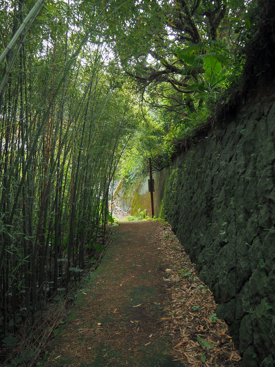
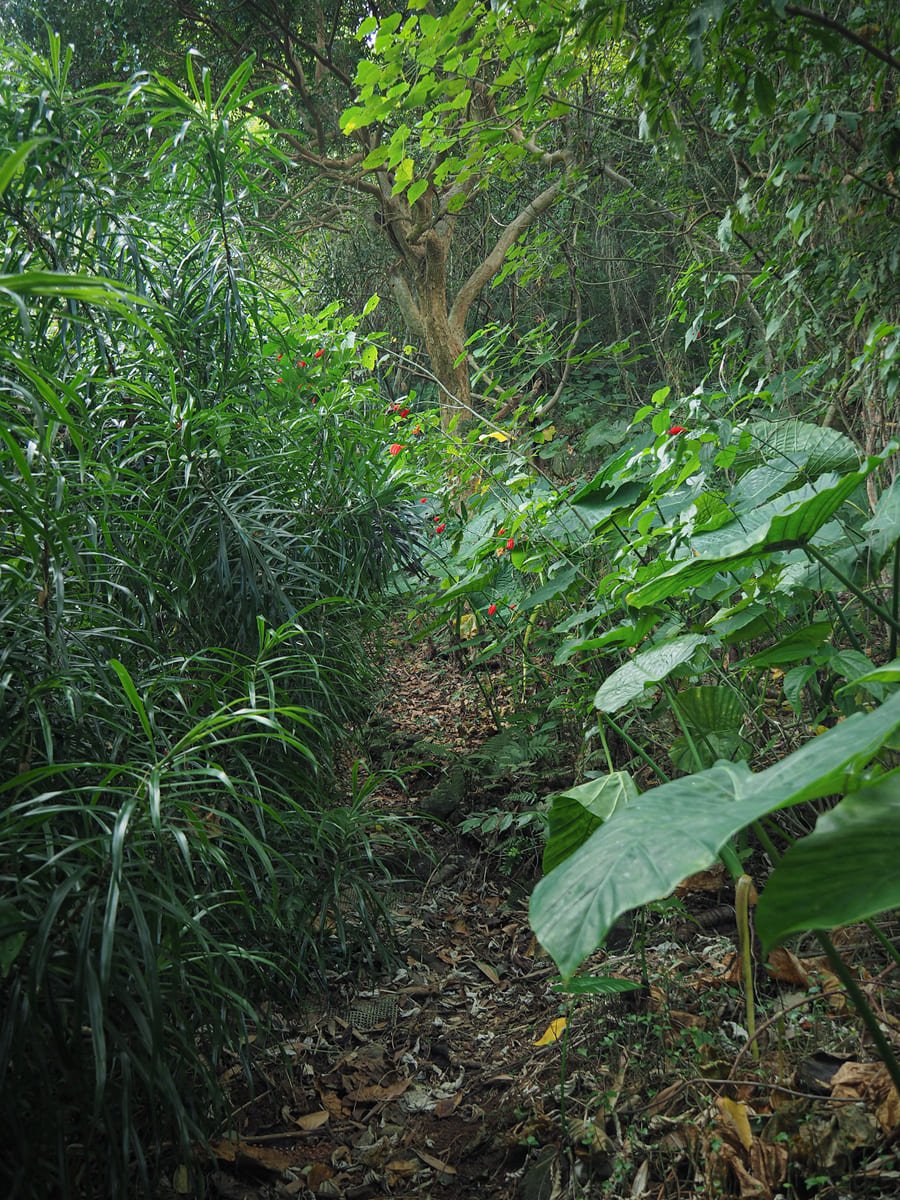
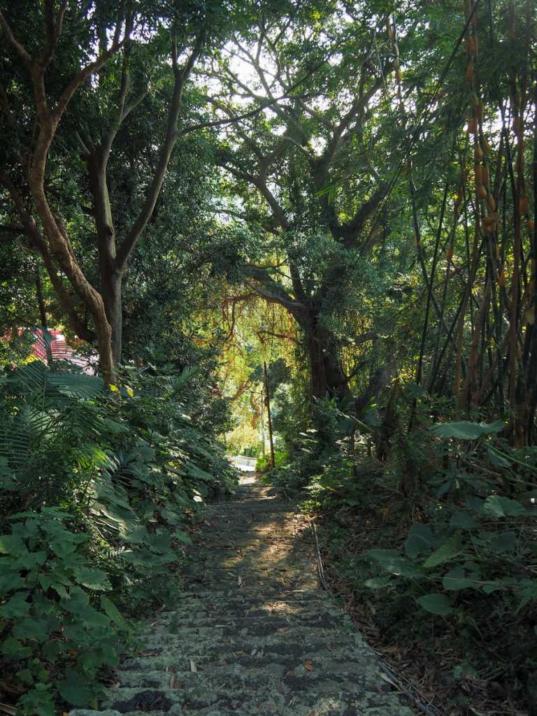
As with most of the other short sections of trail found on this route, it feels like this short cut-through path has mostly been forgotten by time.
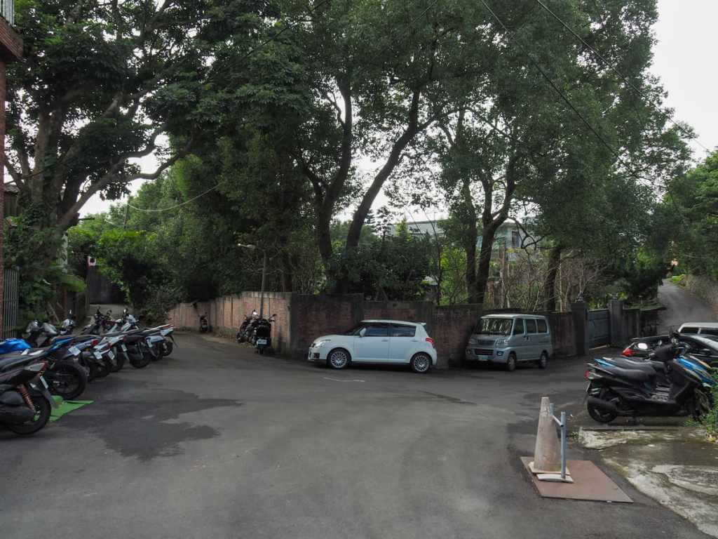
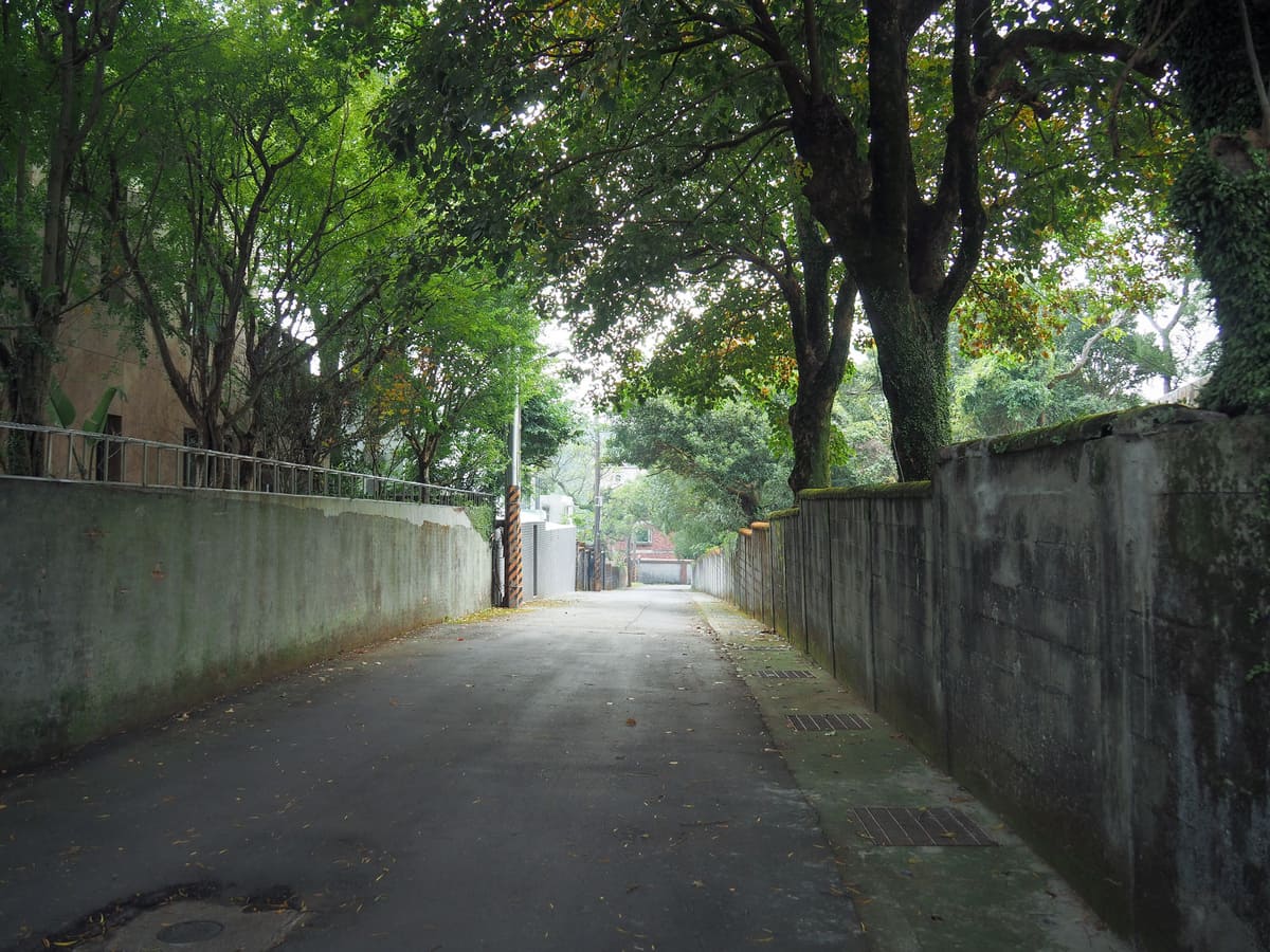
12:00 – The path spits you out for a minute somewhere around the back of Taipei European School. Keep on heading straight over past the rows of parked scooters and follow the lane until it reverts back to a trail again.
This trail skirts close to buildings, not that you’d necessarily know it to look at the picture.
After another few minutes, the trail emerges at a right-angle bend on Zhongyong First Road, Lane 35. Turn right onto the road, then after about 100m, merge rightish onto Zhongyong First Street.
12:09 – If you want to stop for refreshments or a bathroom break, this is probably the best moment to do so. If you head straight on from here, you’ll find yourself on the main street close to the Chinese Culture University. There are coffee shops, restaurants, and a convenience store or two. If you’re all set and don’t need to stop, turn left onto Zhongyong First Road, Lane 14.
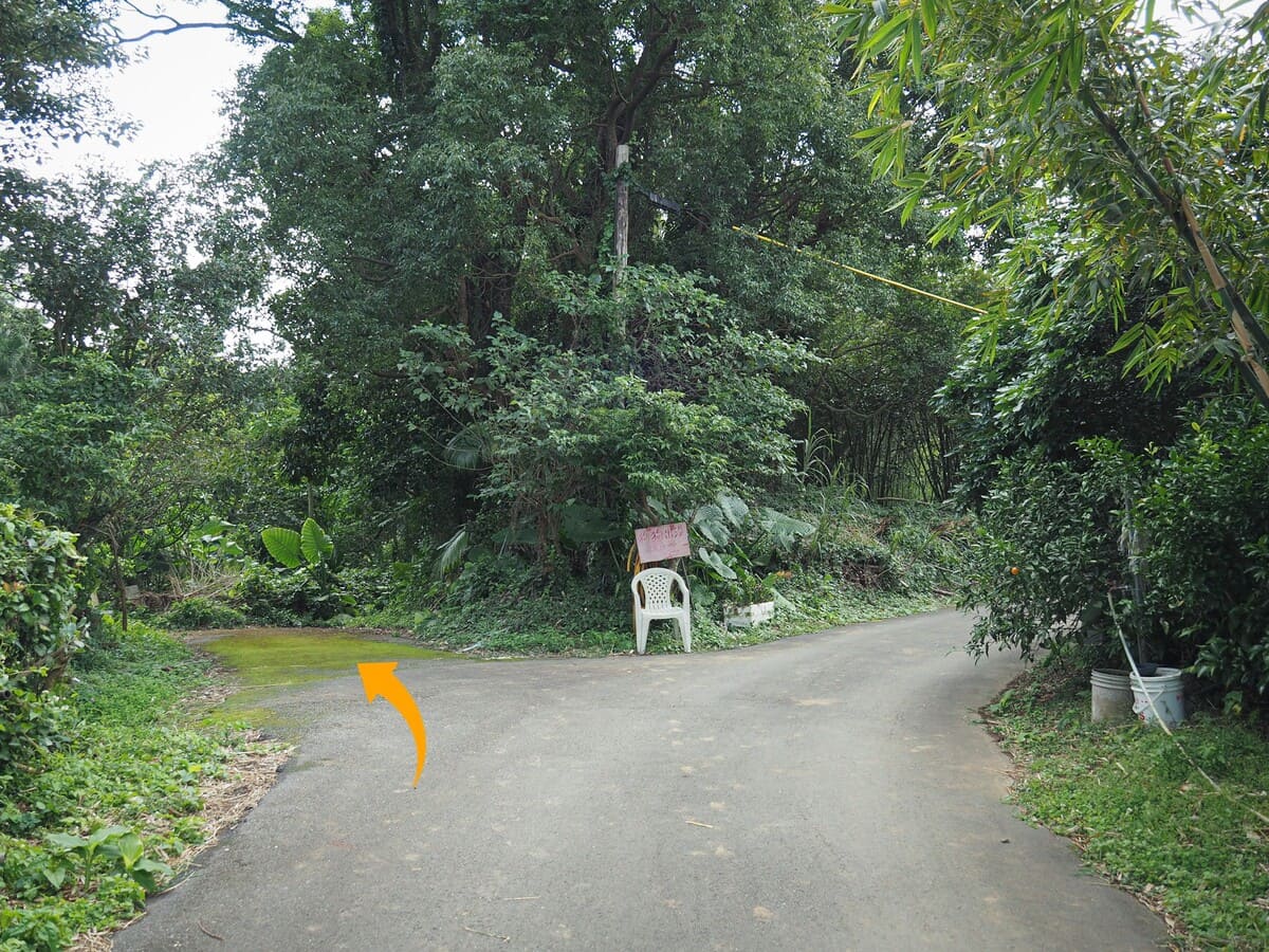
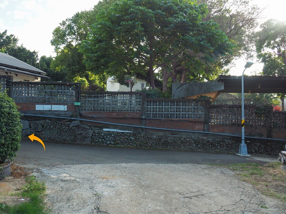
12:50 – (Time jump due to a coffee break.) If you follow the lane as far as you can go, you’ll arrive at this spot with two tracks and a sign. The sign indicates that there’s a dog down the right-hand side and that you should not go that way.
Sure enough, as I made my way along the perimeter fence of the property, a dog stirred and began barking its objections at me. The path leads down to and crosses over a beck before heading past a grand old tree to arrive in a hamlet.
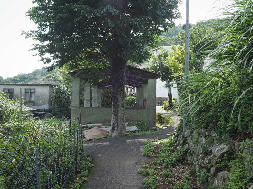
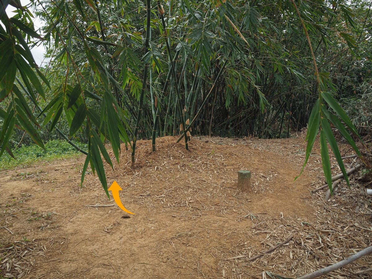
12:58 – Head to the right of this shed/scooter shelter.
Just beyond the scooter shelter, you’ll need to turn left and follow the lane down to a bridge crossing back over the stream.
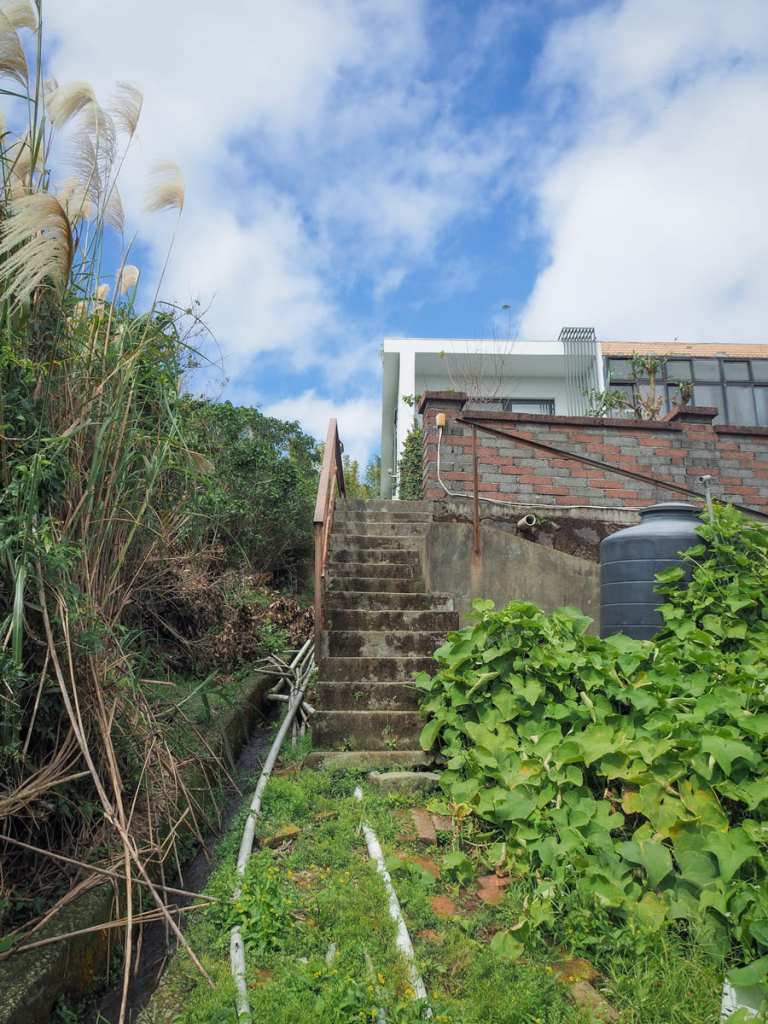
13:00 – Once over the far side, you can choose to either turn right directly or head up the steps. Both options lead to the same spot soon enough.
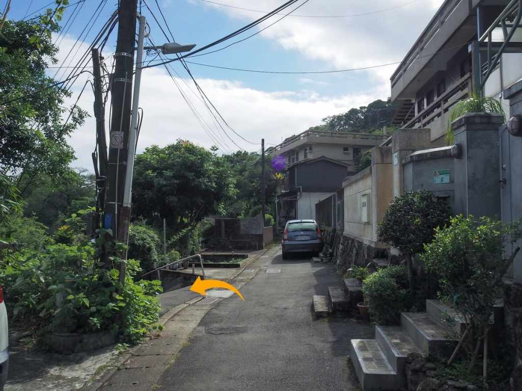
Whether you turn right or take the steps, you’ll emerge at a junction in about a minute and will need to turn right, following this lane first down, then up to the main road. Cross over the main road, then head for this easily missable dip in the pavement barrier.
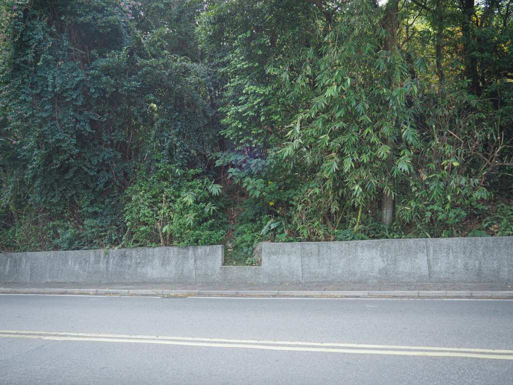
13:06 – There is almost nothing here to make you think you’re on a trail. It honestly just feels like you’re blundering off the road and into the trees.
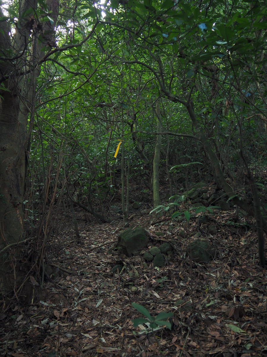
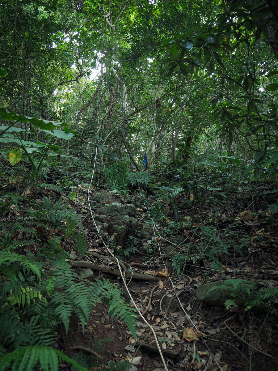
It’s only short, but this next 200-300m section felt like it took an age. I found myself scrambling up long-forgotten bamboo terraces and scouring the land ahead of me for the next yellow tag. I had to retrace my steps a couple of times, and at one point, I glanced up to find a 4cm-long spider crawling along the underside of my hat’s brim—literally right in front of my eyes.
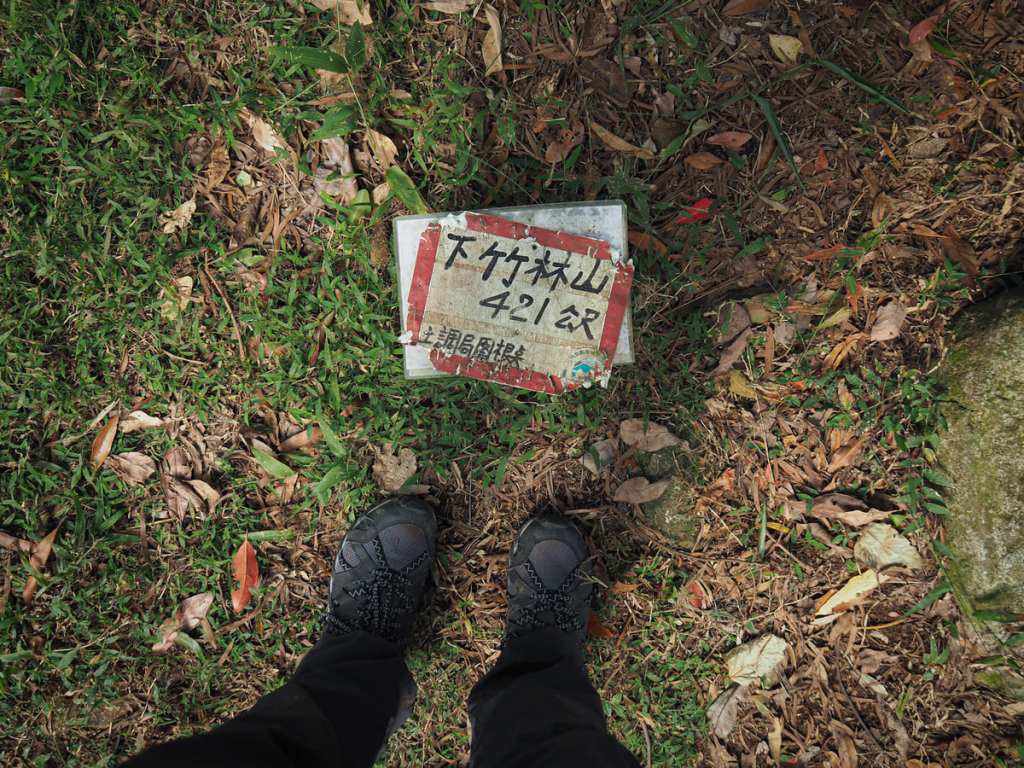
13:29 – Once I was almost at the summit of Xiazhulin Shan (下竹林山), I lost the path entirely. However, by this point, I could see the summit clearing separated from me by two metres of undergrowth, so I forged my own path.
The path leaves the mountaintop clearing from its southern edge, then no more than ten metres back onto the trail, you need to take the left fork at this junction.
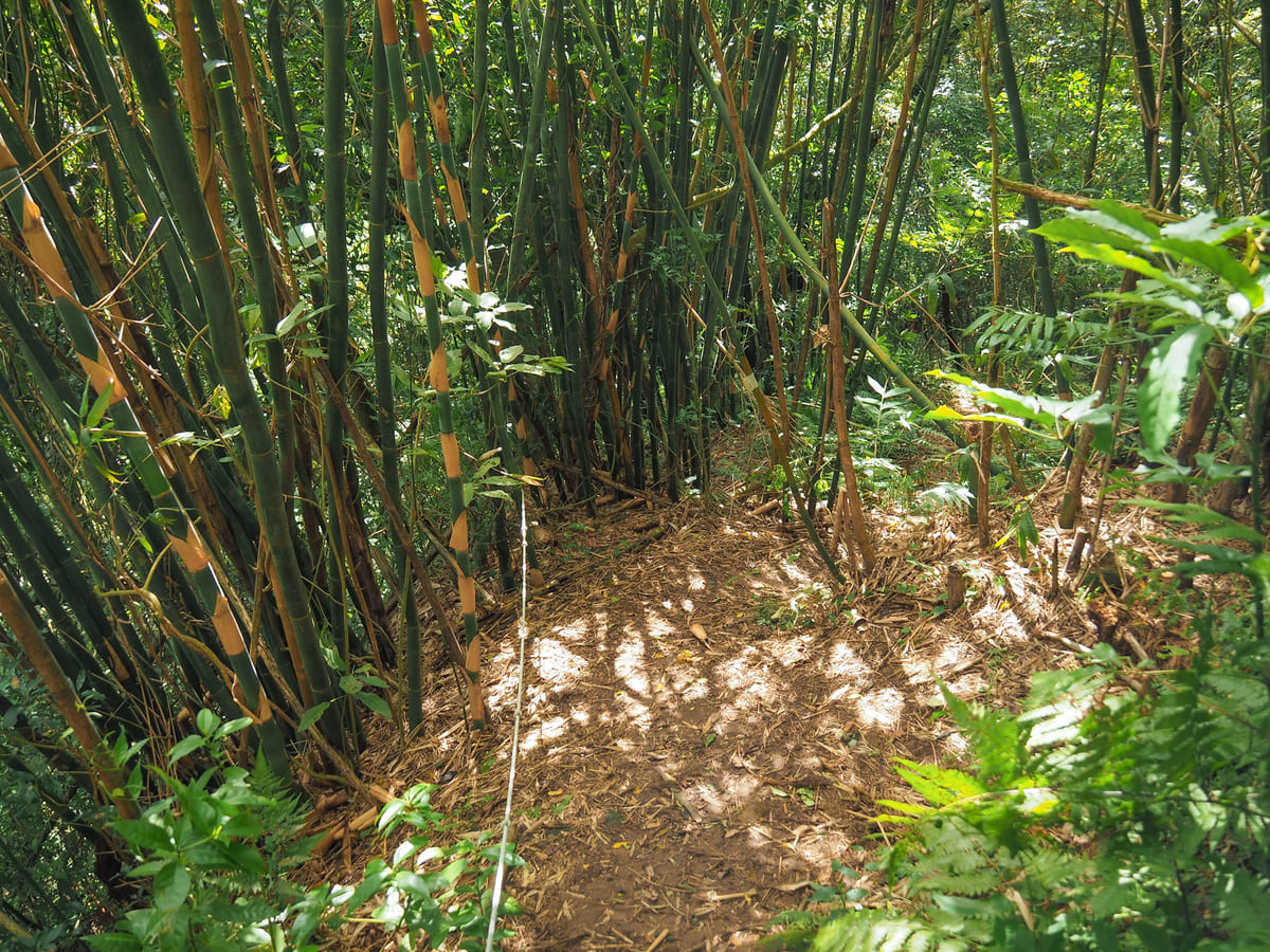
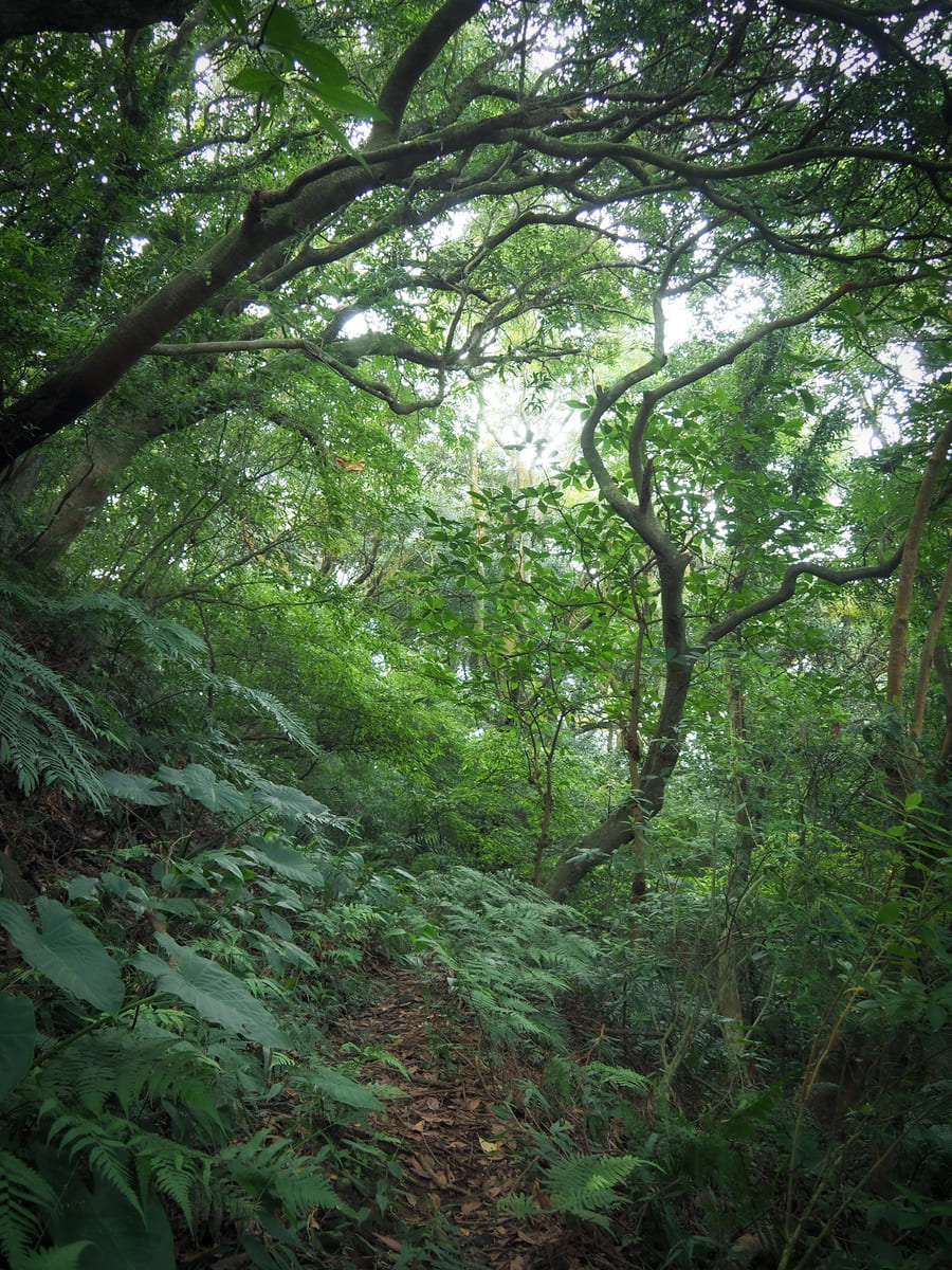
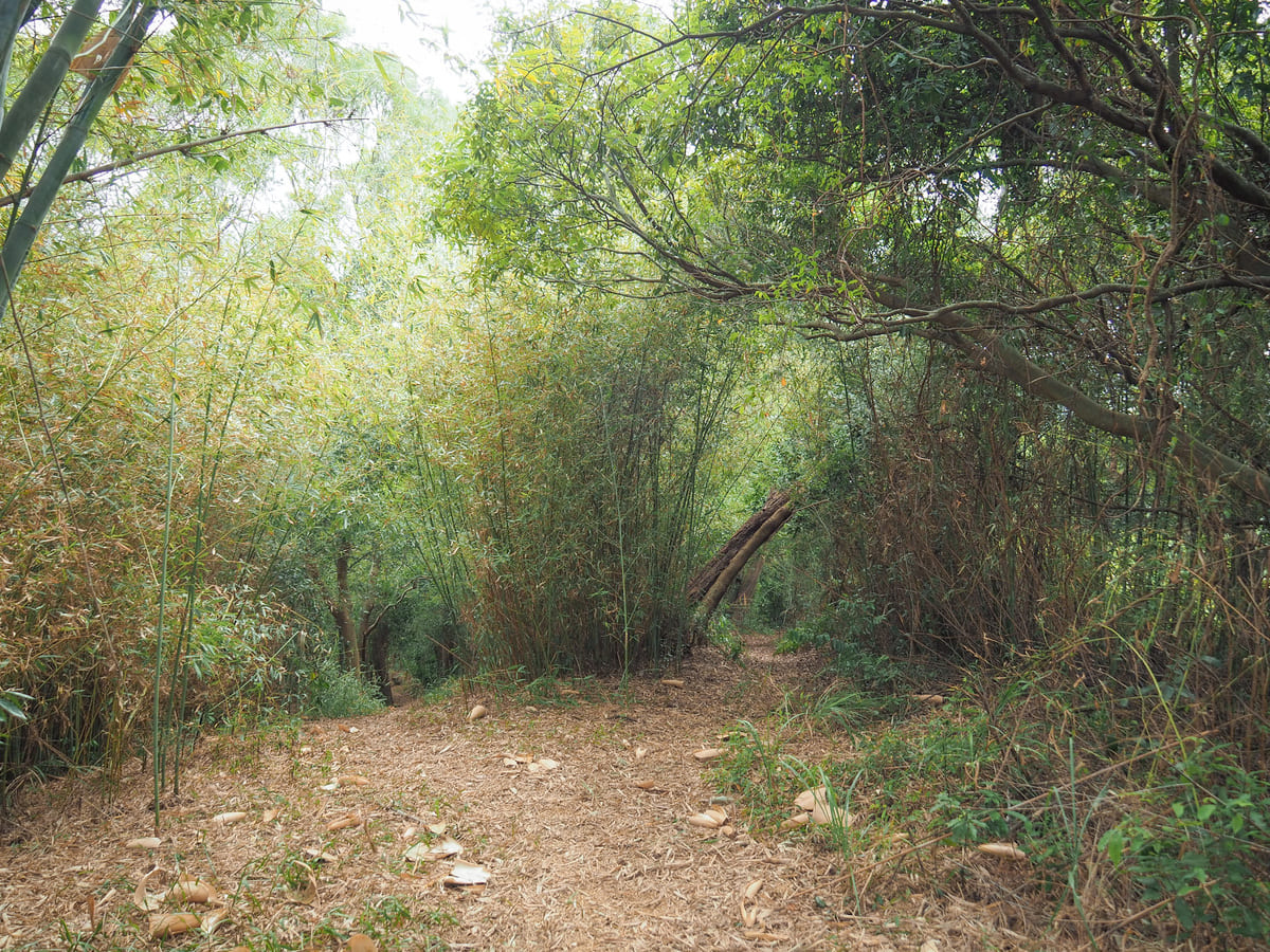
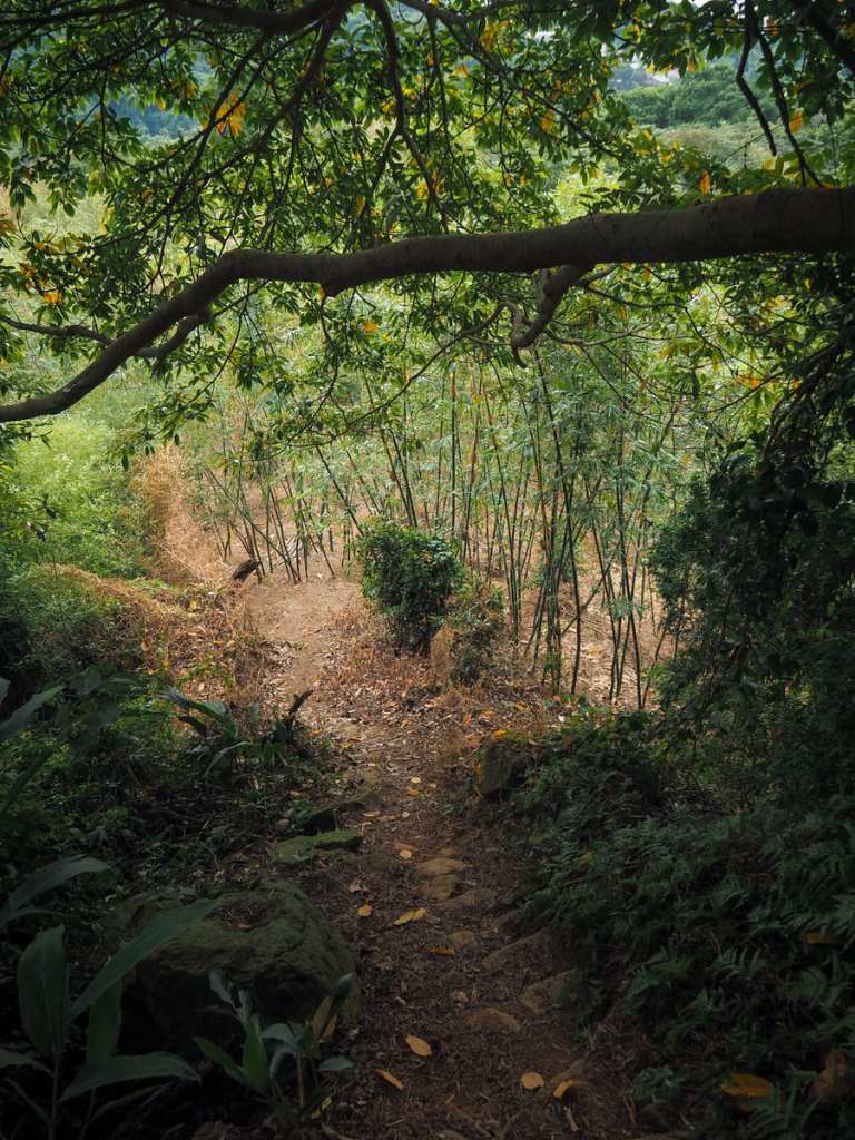
The trail still feels a little unloved, but it is at least clear to see where you’re going. At first, I found myself passing through scruffy woods, then soon I arrived at the top of a long slope of farmed bamboo. (The map I was using indicates that there are two side trails joining on the left from the main road along this stretch, but I didn’t notice them.
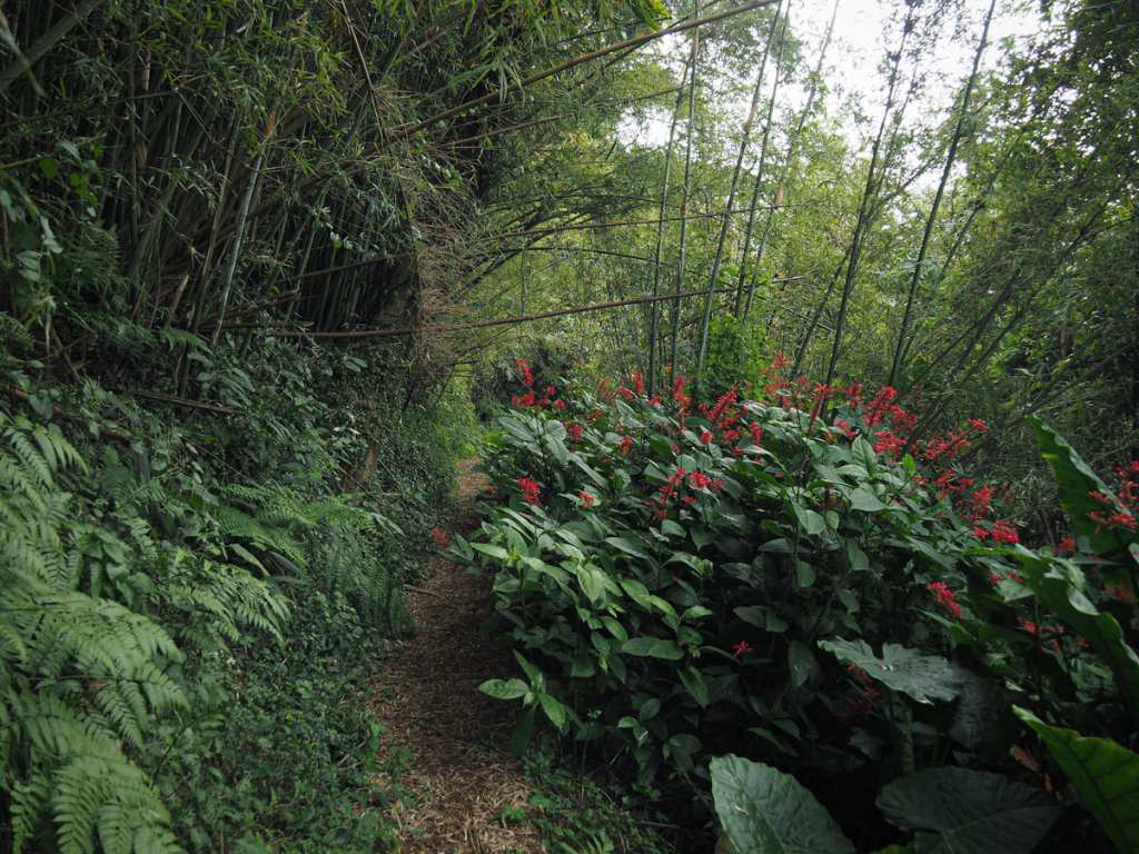
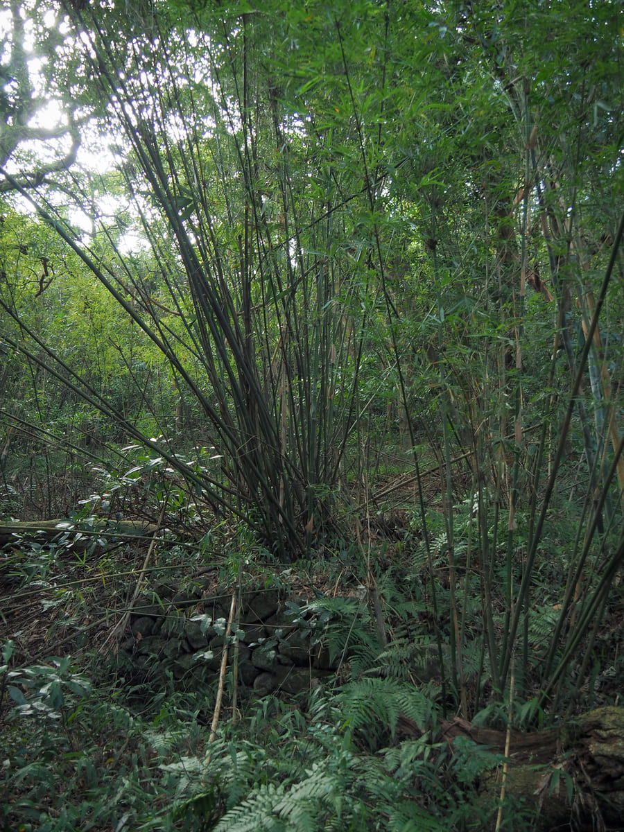
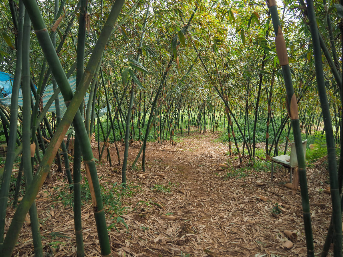
13:35 – I really liked the walk down the edge of the bamboo terraces. It had the most obvious historic trail feeling of any part of the day’s walk.
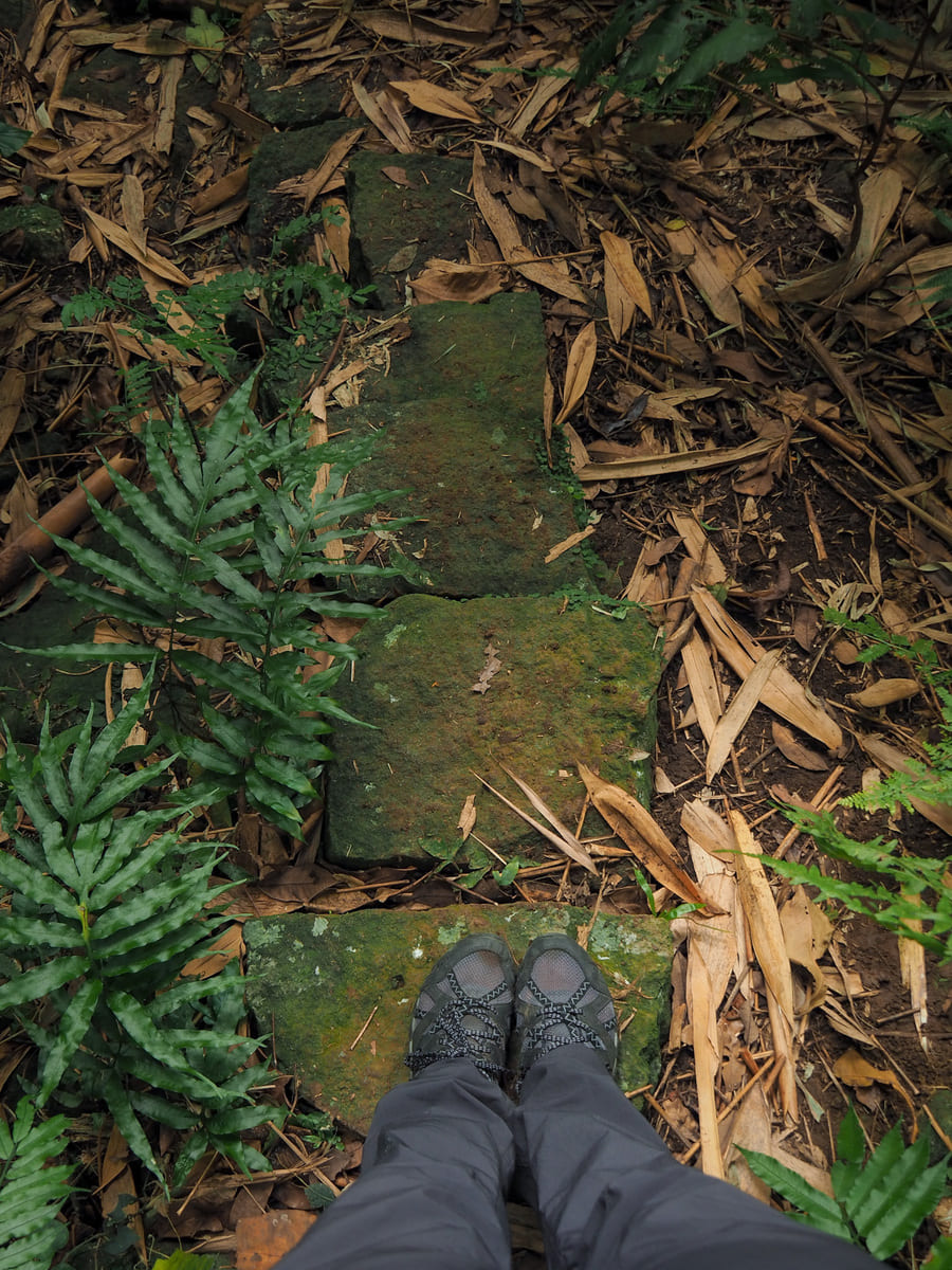
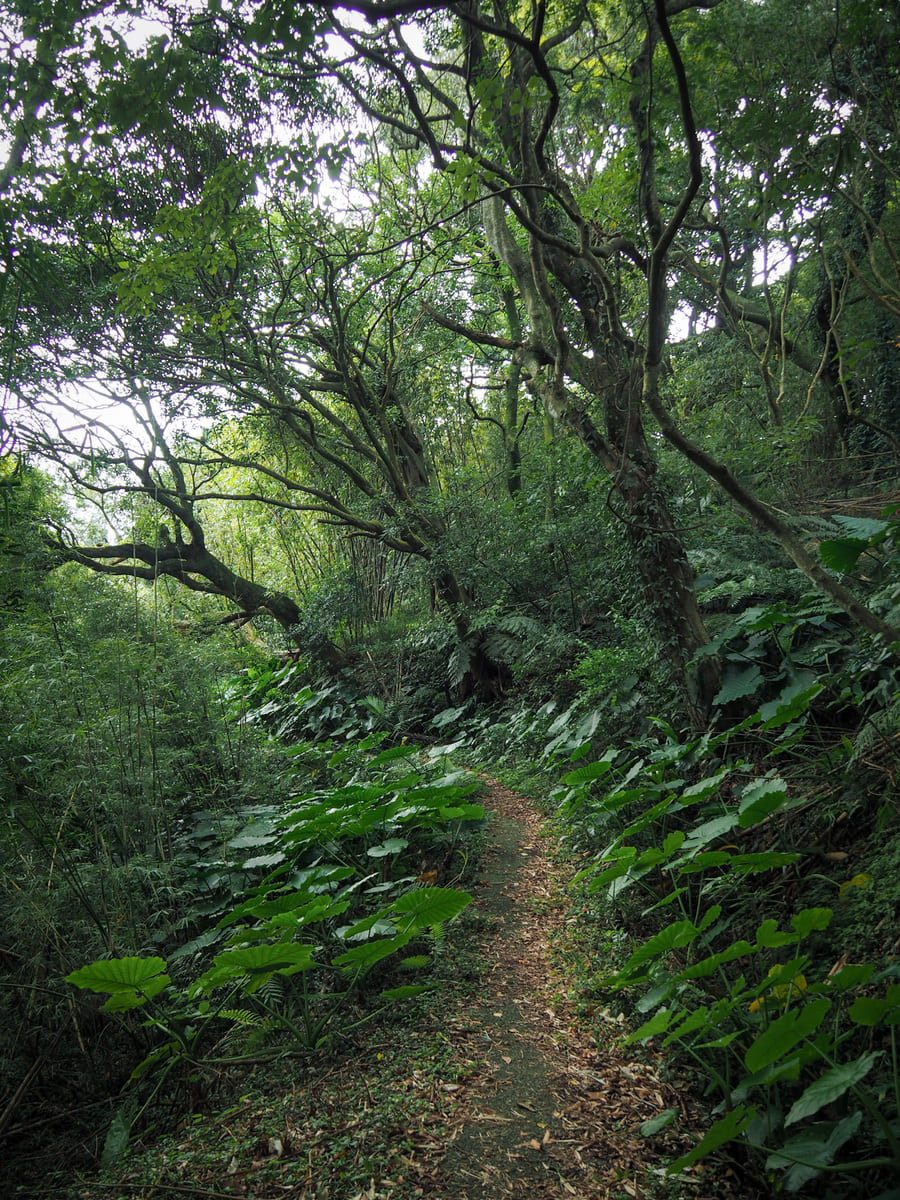
The trail hooks a left turn at the bottom of the bamboo farmer’s patch and dives back into woodland that is littered with more old stone walls. The path itself is clearly an aged trail too. On more popular routes that required sturdier trails, trail builders of old places a large flat central stone between two smaller supporting ones, but on small trails like this, farmers made do with less durable single-file steps. In places, one or two of the steps had rolled away, but most of it was still walkable.
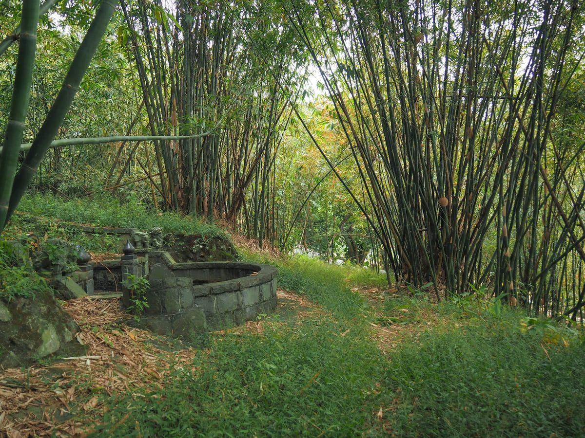
14:06 – As the trail starts to level out again, it enters another bamboo grove—this one also home to a grave or two. Once you reach the road, turn left and head uphill again.
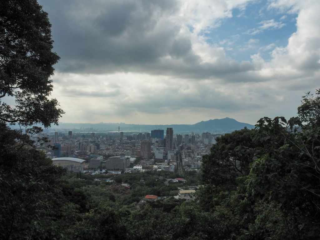
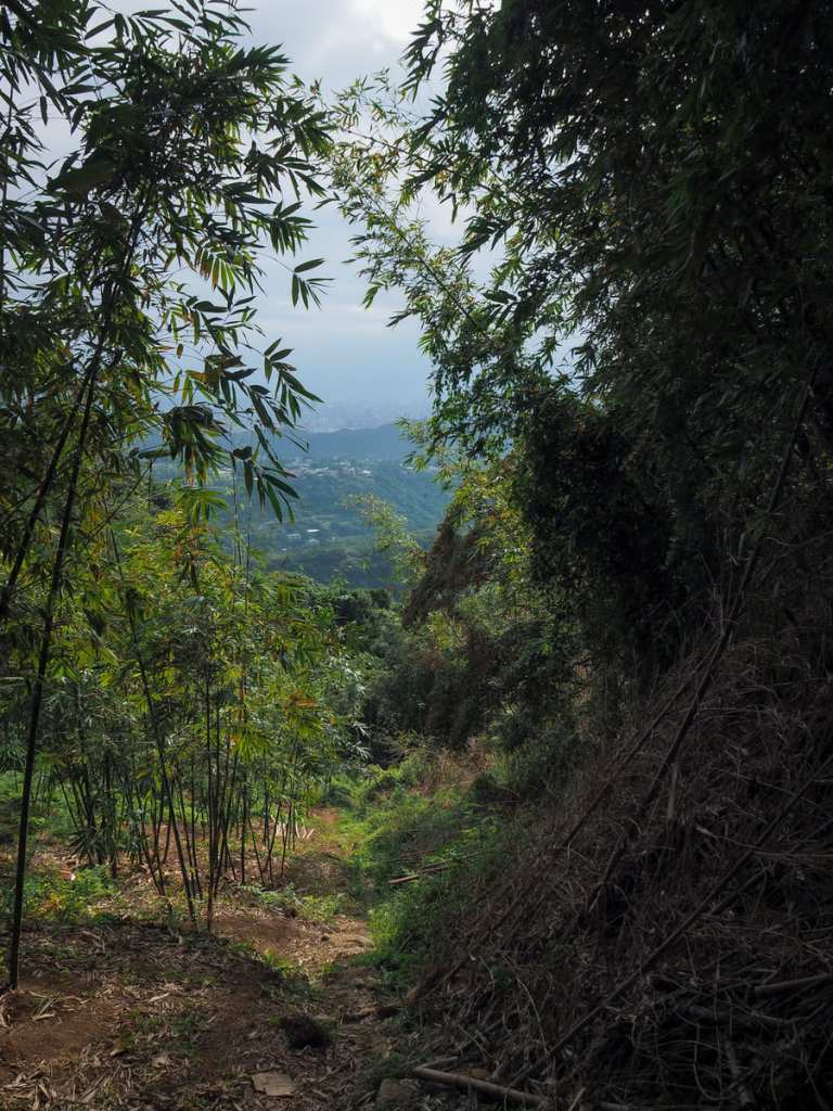
Just before you dive back into the trees, the walk gives up one of its very few views of the city. You can see the incinerator tower and/or restaurant over by Guandu, as well as Mount Guanyin rising in the distance. And that collection of buildings on the horizon to the left of Mount Guanyin is Linkou.
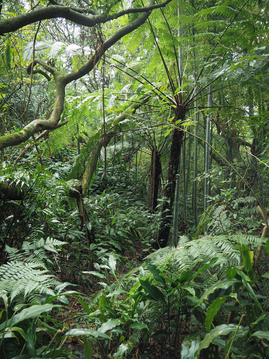
14:13 – Just beyond the spot with the view, the road crests a hill. Right at the high point, turn right off the road. This little part between here and the next road is a bit of a bamboo maze.
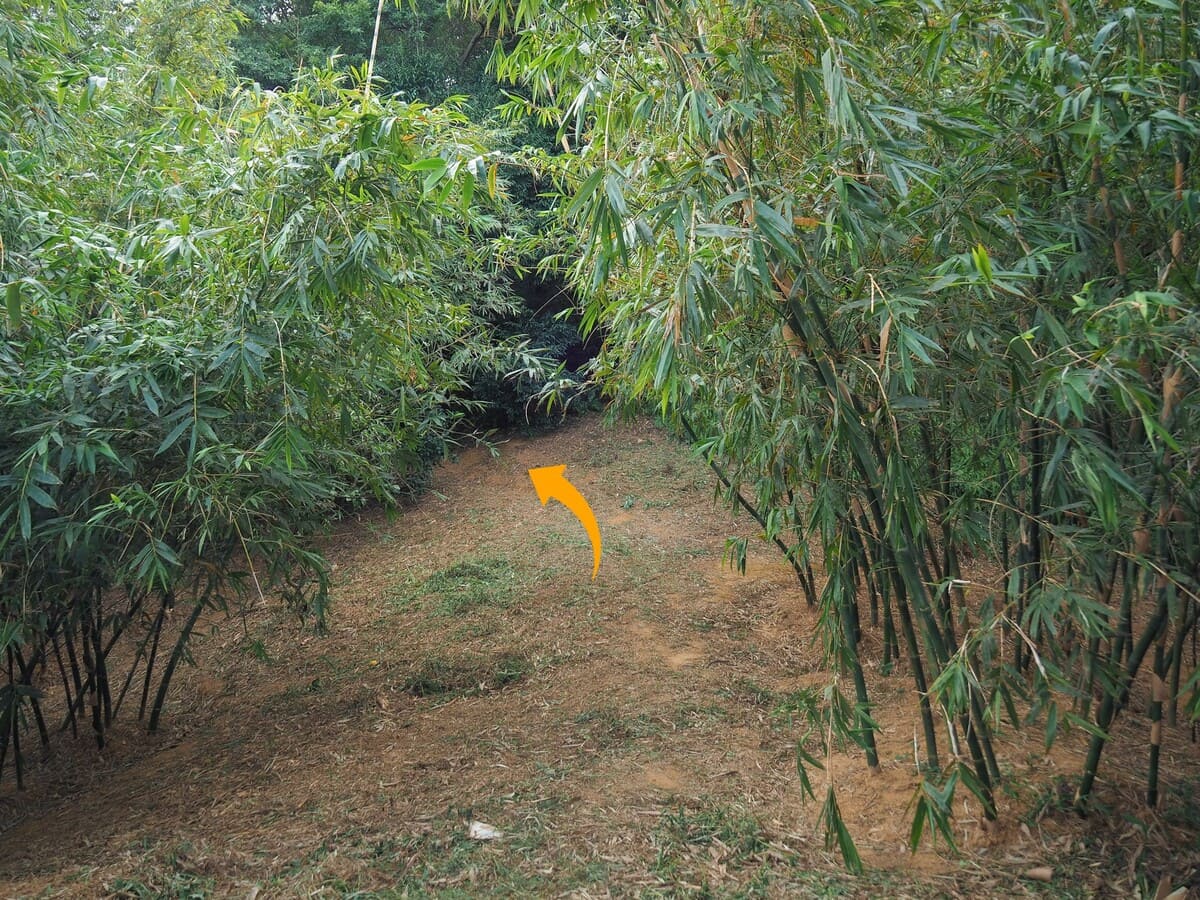
The path makes its way through a bamboo farm. At first, it looks like there’s no through trail, but just keep heading straight and you’ll find a trail leading away into the trees. A short while later, the path veers to the right.
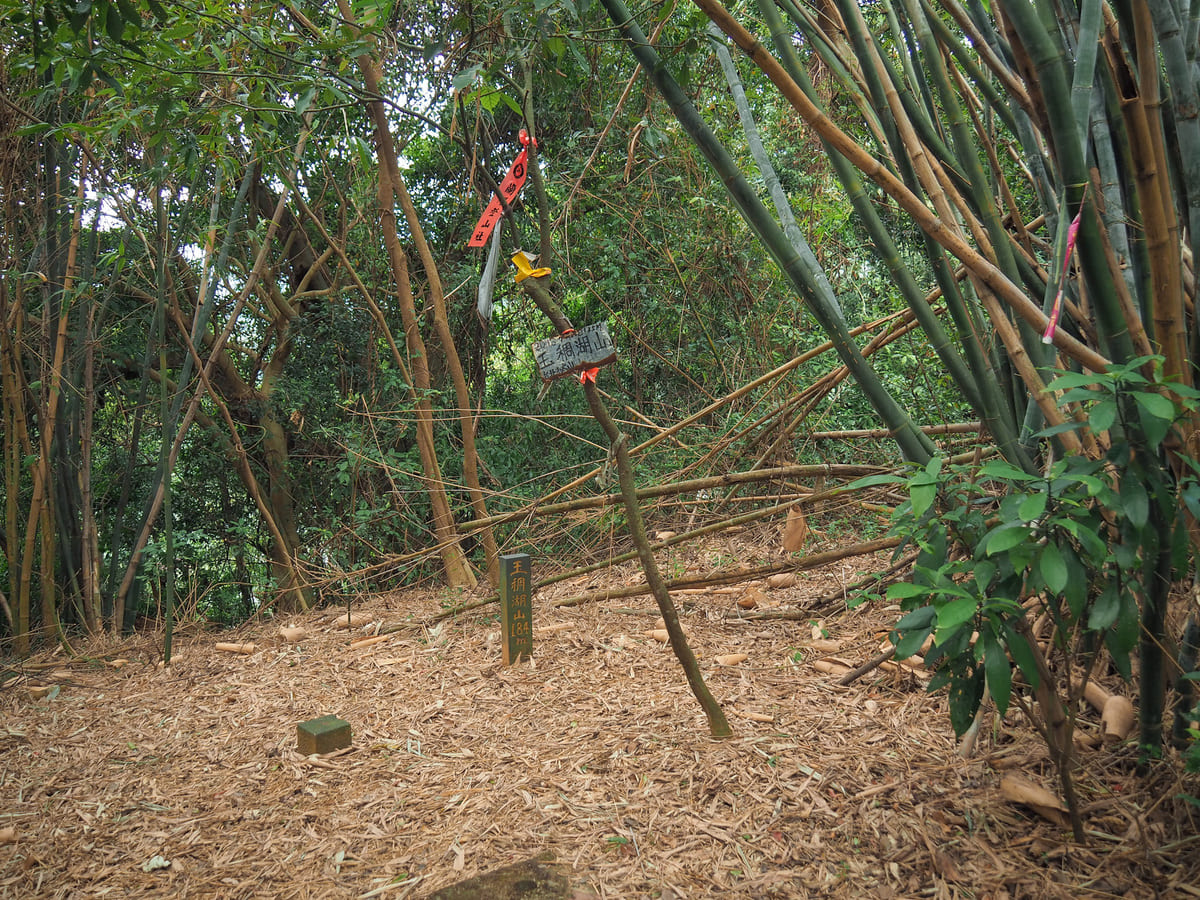
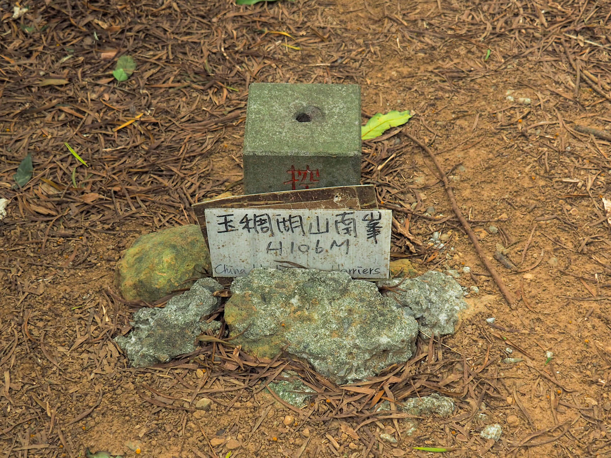
14:22 – Along this next stretch, you can take a 30-second detour to Yuchouhu Shan (玉稠湖山). The peak is nothing special, just an unremarkable summit marker in an unremarkable clearing.
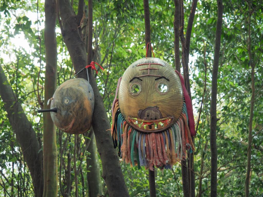
What was far more remarkable (not to mention unnerving) was this collection of clown masks fashioned from old scooter helmets that I found hanging from trees in the next clearing along the trail.
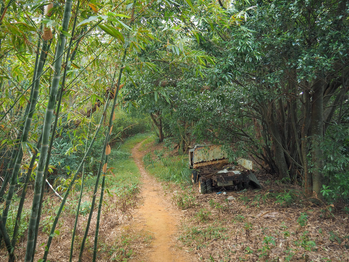
Rusting farm equipment sat beside the path a little further along. It must have been a good few years since the track up here was wide enough for farmers to drive a cart through it. This next junction isn’t really a junction, both the left and right trails reconnect after a short distance.
Once the two trails from the previous photo reconnect, the path heads down a little further before taking a sharp right turn. Then, at the next almost junction, two more trails seem to split and then reconnect. I took the straighter of the two.
The trails converge again right at the far edge of the farmed area and the path disappears into the trees.
14:43 – Yuchouhu Shan’s southern peak sits just inside the tree line. Like the main peak, it is not all that significant. From here, the path heads down to rejoin an alternative route joining from the farm. Turn right and keep going downhill.
Another brief section of old stone steps marks the edge of more farmed land.
The steps descend to join another trail coming in from the left. Merge right onto the path, then veer to the left of this marker stone. From this point, it’s a steady descent to the road.
The trail starts to pass a few old outbuildings, then passes some semi-abandoned buildings just as it is arriving at the road. This spot is a mosquito disco. It was impossible even to pause to take a photo without one of the fuckers taking it as an invitation to feast on my blood.
14:58 – The trail rejoins the road by passing through a gate that has been rusted open. Turn left onto the road, cross over the boxed-in stream, and make your way uphill.
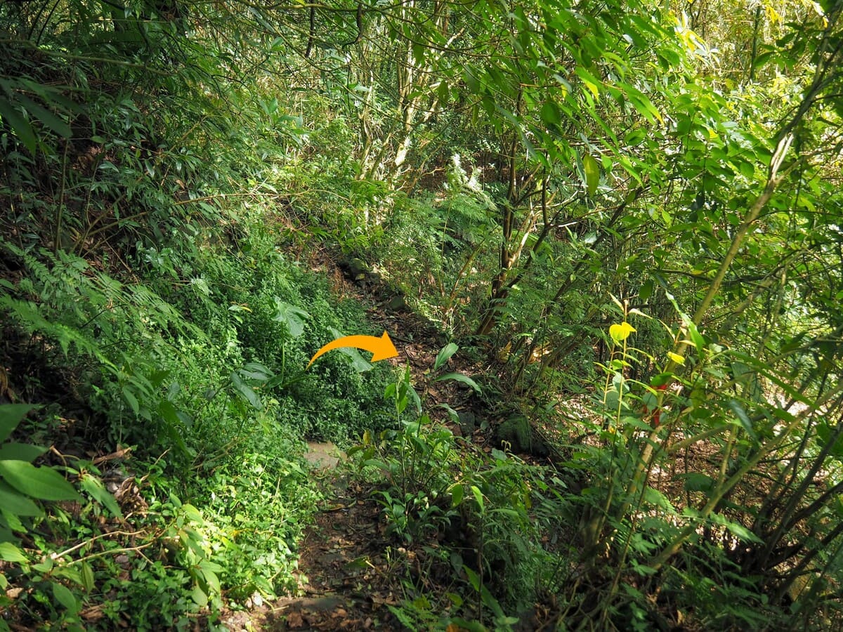
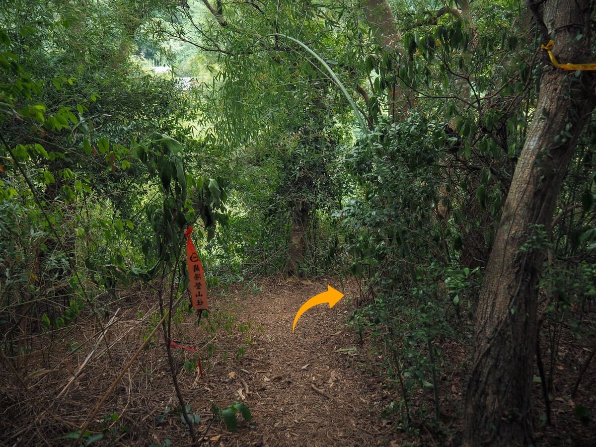
15:12 – (Time jump due to another short break. I had a brief rest at the temple that’s near this junction before heading back into the trees) After just a few minutes, the road reaches this junction and the trail heads steeply up again. Then, almost as soon as you leave the road for the track, you need to leave the track for the trail. An easy-to-miss path dives off the track up the right.
This is the walk’s very last section of “forgotten path” and it is short but steep.
At the top of a brief scramble, I found myself following along the base of a perimeter wall and then up some steps alongside it. The residents are obviously slightly anxious about the security risk of having a building that borders woodland because the walls are topped with barbed wire and watched by an army of CCTV cameras. (Looking at Google Maps, it would appear that one of these properties has a mini private golf course, so perhaps they have good financial reasons to worry about security.)
15:22 – The steps emerge onto a lane and almost straight away, you need to turn right.
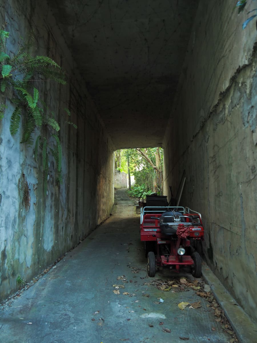
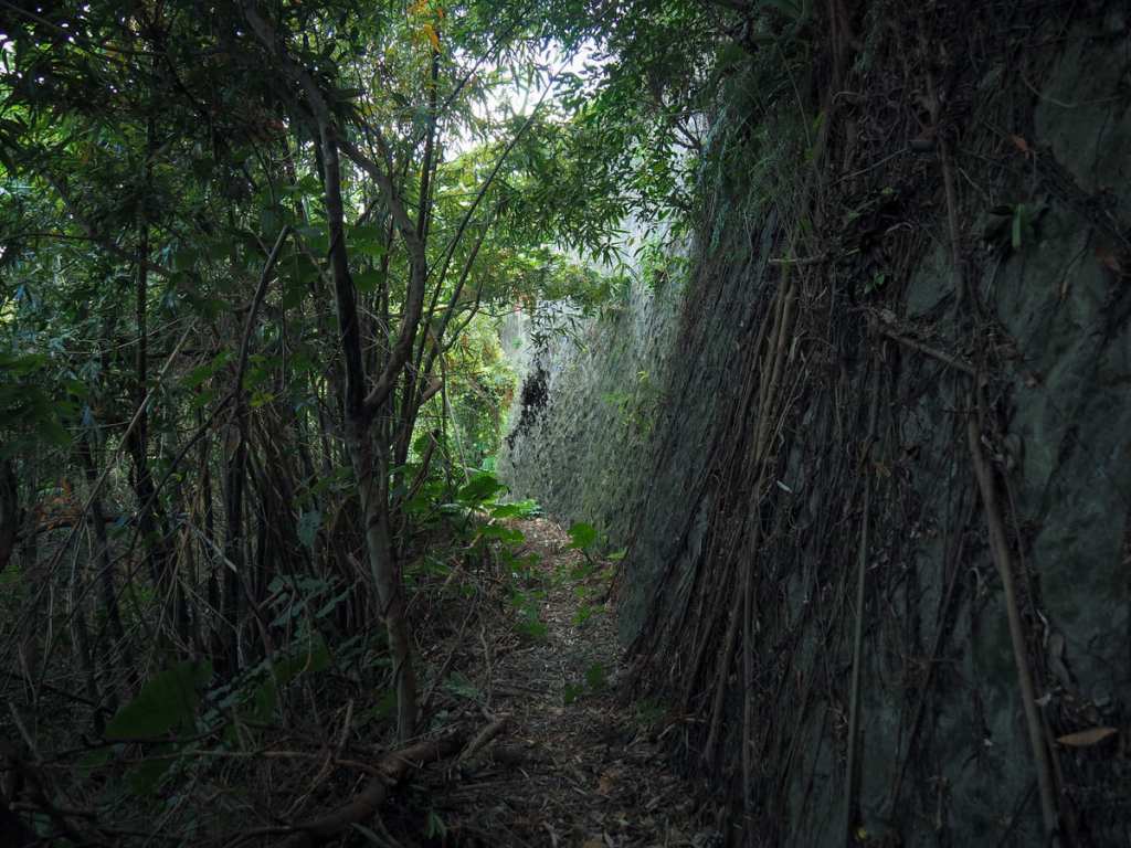
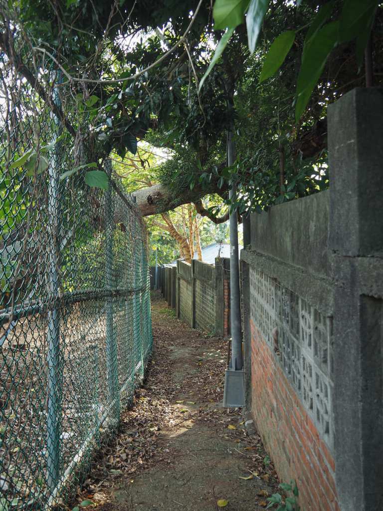
The lane heads through a box culvert tunnel, then along a narrow fenced-in path. It really does feel like you’re walking the forgotten ways.

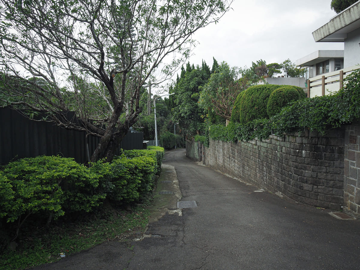
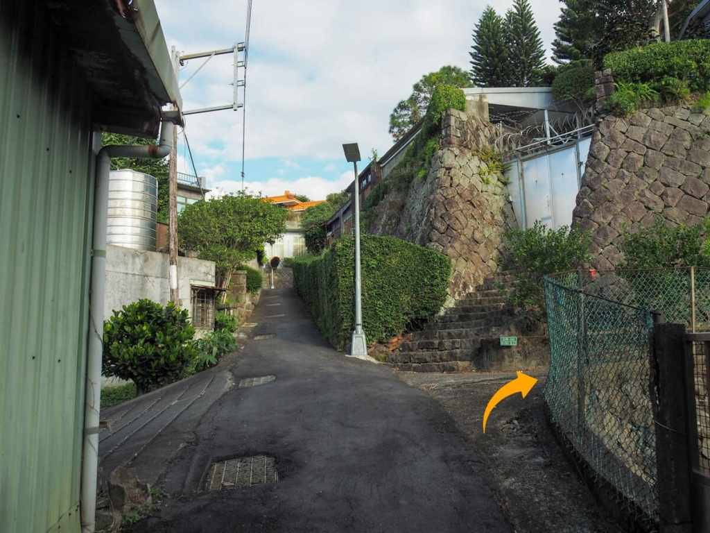
15:28 – When the path turns back into a lane, turn left and walk another 50 metres to a second junction where you’ll need to turn right.
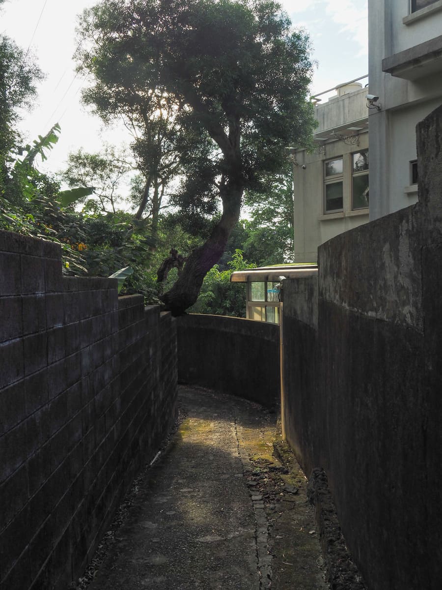
Once more, I found myself squeezed between buildings and fences.
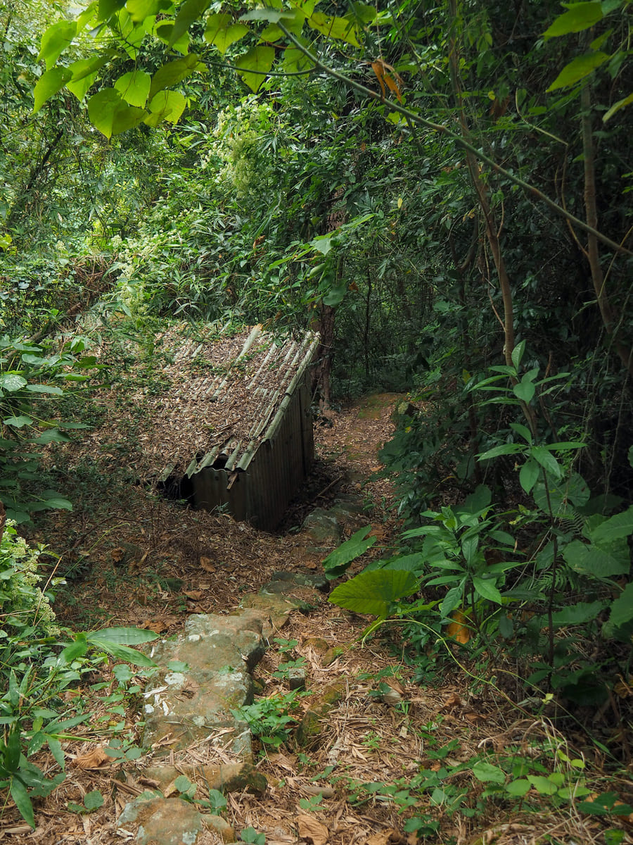
15:33 – Just as the trail heads down to cross the main road, I passed this red brick building which looked rather pretty in the sunlight.
The trail continues straight over from where the path arrives at the road, but I needed to walk down to the crossing then back up. The short flight of steps terminates at a small temple, and once more, you’ll need to cross the road and keep heading down.
Tall trees coat the slopes to either side of the steps, and there’s a biggish temple here too (but the gate was shut).
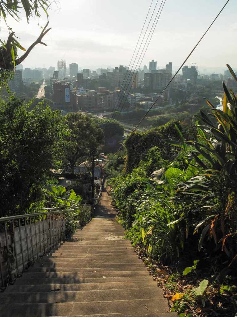
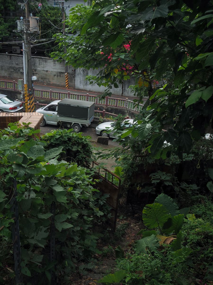
A little further down the steps, you can suddenly see just how close you are to the city.
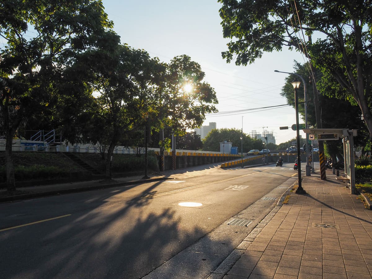
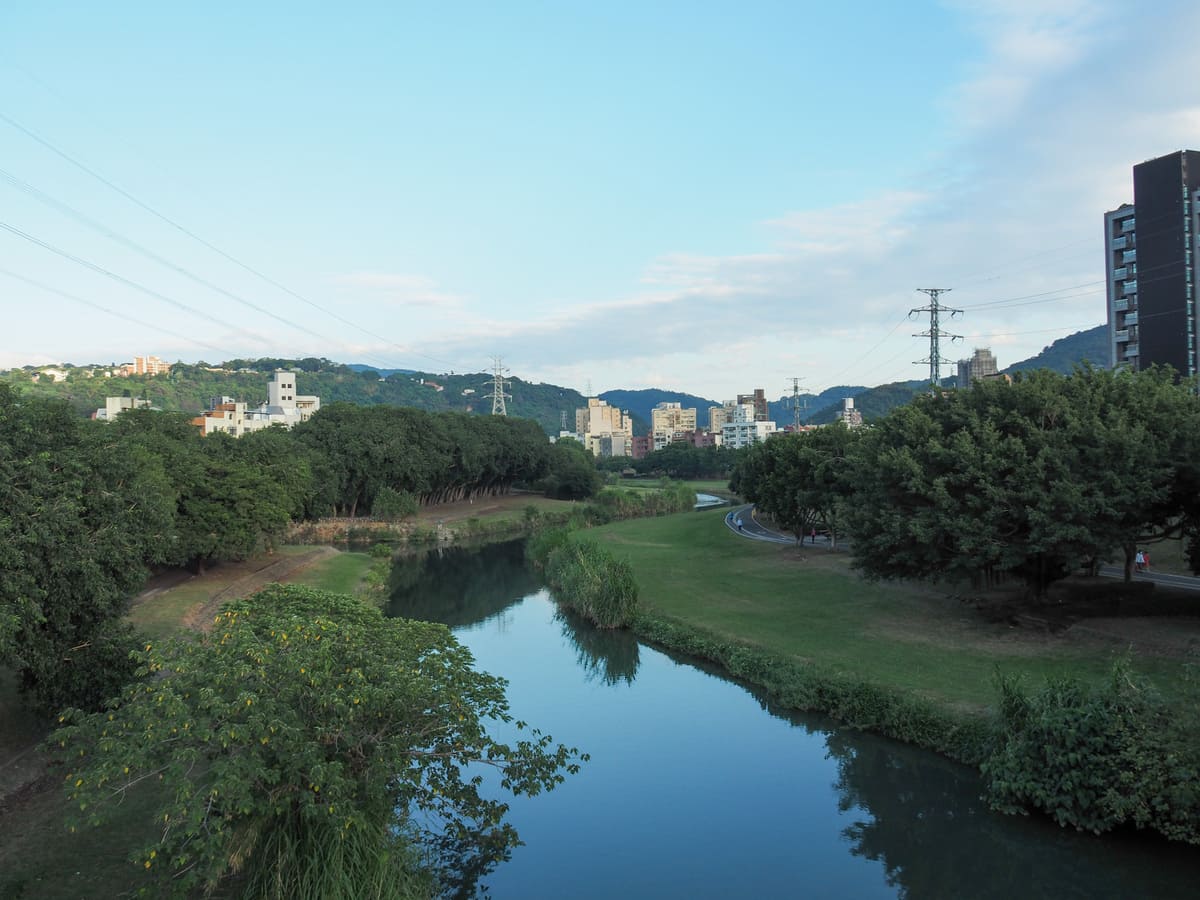
15:50 – Depending on how tired or hungry you are and whether or not you’ve been to Zhishanyan before, this might be a nice little highlight to end your trip. The temple-topped mound would have certainly been an important landmark on the route for travellers in the past. I was tired, and I’ve been to Zhishanyan several times, so I headed straight over Yangde Boulevard and along Zhicheng Road.
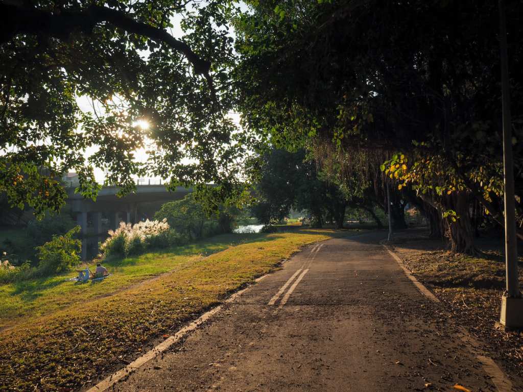
You could follow the road all the way, but I decided to climb up and over the flood embankments to walk along the riverside park. The winter afternoon light was beautiful, and it was catching some of the silvergrass plumes along the water’s edge.
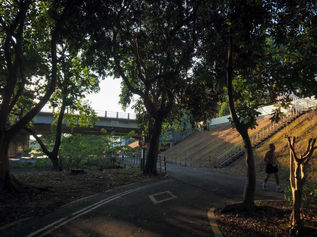
Just before reaching Fulin Bridge, I headed back up to join the path.
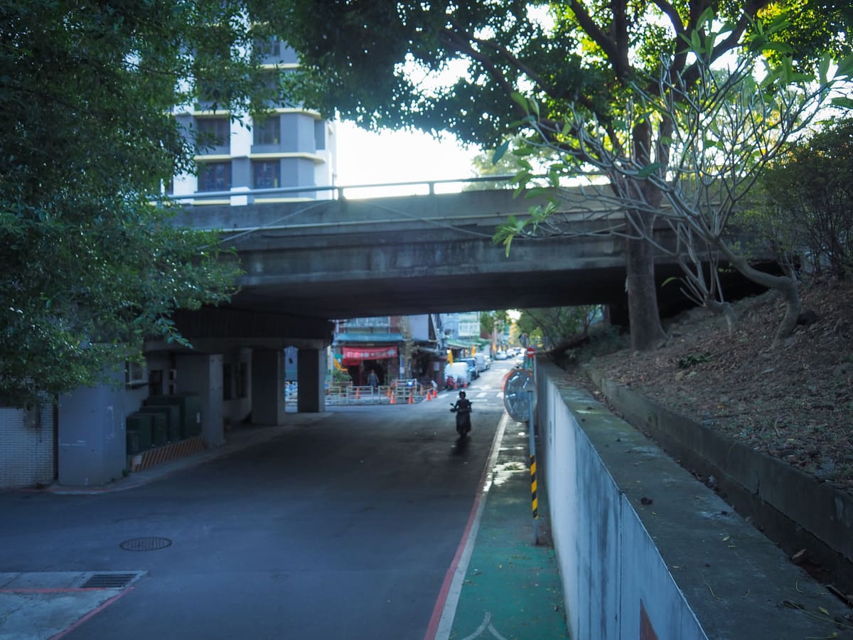
Cross over the water, then at the far side, take the steps leading down and turn right to pass under the bridge.
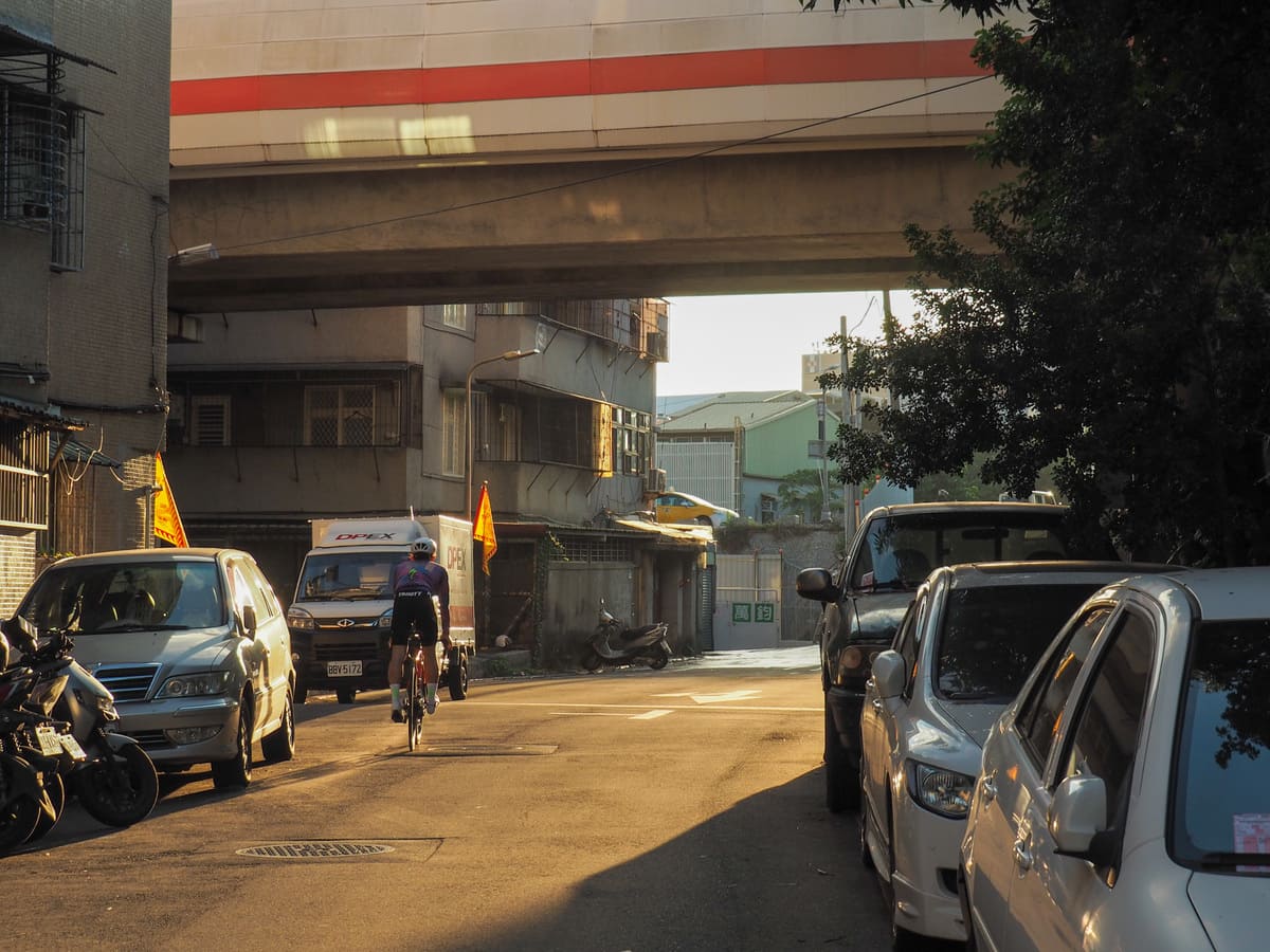
Follow this lane until you reach the elevated MRT line, then turn left.
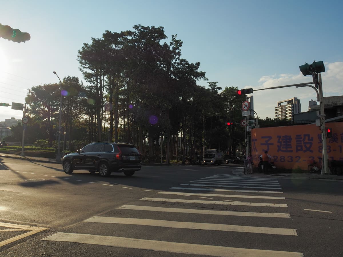
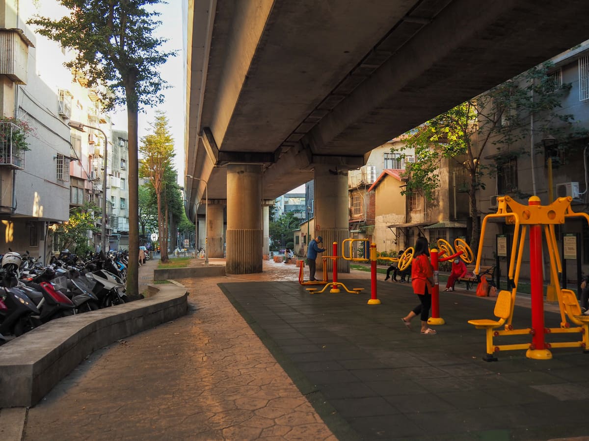
16:22 – From here, you just need to walk in the shadow of the MRT line all the way back to Shilin Station.
Getting There
Google Maps address: The walk starts from Qingtiangang Visitor Centre and ends at Shilin MRT Station. There is parking at both ends, but it would be more sensible to use public transport.
GPS location:
- Qingtiangang trailhead – N25 9.955 E121 34.465
Public transport: You could do this walk in either direction, but it’s probably slightly easier to start at Qingtiangang and walk down.
- Getting to Qingtiangang – Take the S15 minibus from outside Jintian Station. The bus also passes Shilin Station, but take it from someone with hard-won experience, you do not want to catch it anywhere except the first stop on the route. Ride the bus all the way to Qingtiangang.
- Getting back from Shilin – Since this walk ends right beside an MRT station, you can just hop on and go wherever you need to go.
Nearby trails:
- Juansi Waterfall
- Qingtiangang Circular Loop
- Taipei Grand Trail – Section 3
- Taipei Skyline Trail – Section 6B
Fisherman’s Trail Map
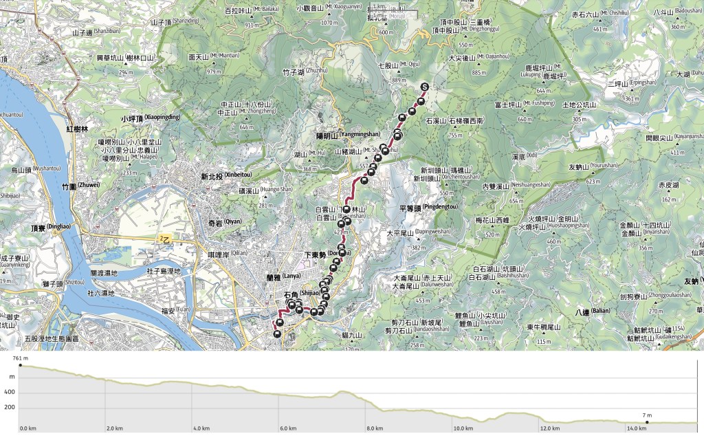
GPX file available here on Outdoor Active. (Account needed, but the free one works just fine.)

Well done! I don’t think I would dare to try this trail – I would get lost!
LikeLiked by 1 person
I did have to back track a couple of times while walking this route. The southern section in particular seems to have been largely forgotten.
LikeLike