Distance: 3.4km
Time: 2 hours
Difficulty: 4.5/10 – It’s not really difficult, just slightly patchy signage and plenty of natural flooring. We also encountered a short roped section.
Total ascent: A little over 200m
Water: 0.5L at a cool November 17°C.
Shade: On and off, I would have suffered a little in the sun I think.
Mobile network: no problem.
Enjoyment: 8/10 – This walk is a lovely mixture of views, climbs and culture. Additionally, it’s accessible by public transport and with the end point being Xin Beitou it is possible to head up to take in the thermal valley, too.
Jump to the bottom of this post for a trail map, GPX file, and transportation information.
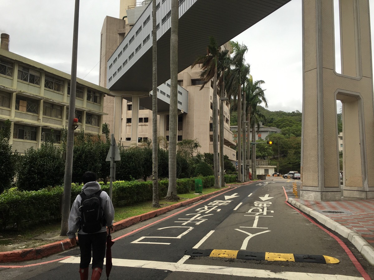
The trailhead is located behind Taipei Veterans’ General Hospital so as we walked through the grounds we made use of the toilet facilities and filled up our water bottles from the hot water machine in the cafeteria area.

Towards the rear of the hospital, we passed a hellish-noisy power plant on the left before starting to climb a little.
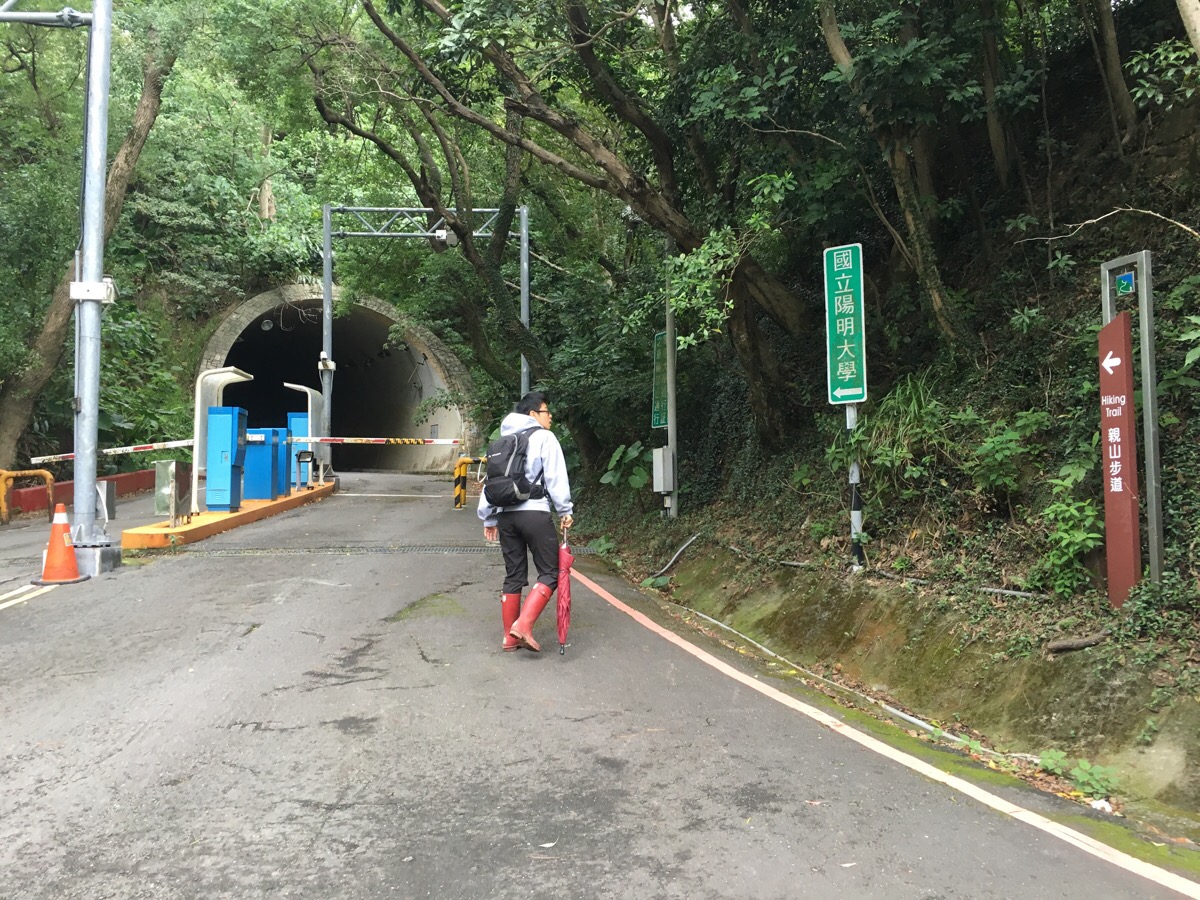
The road heads through a tunnel which looks a lot more ominous from the entrance than it really is.
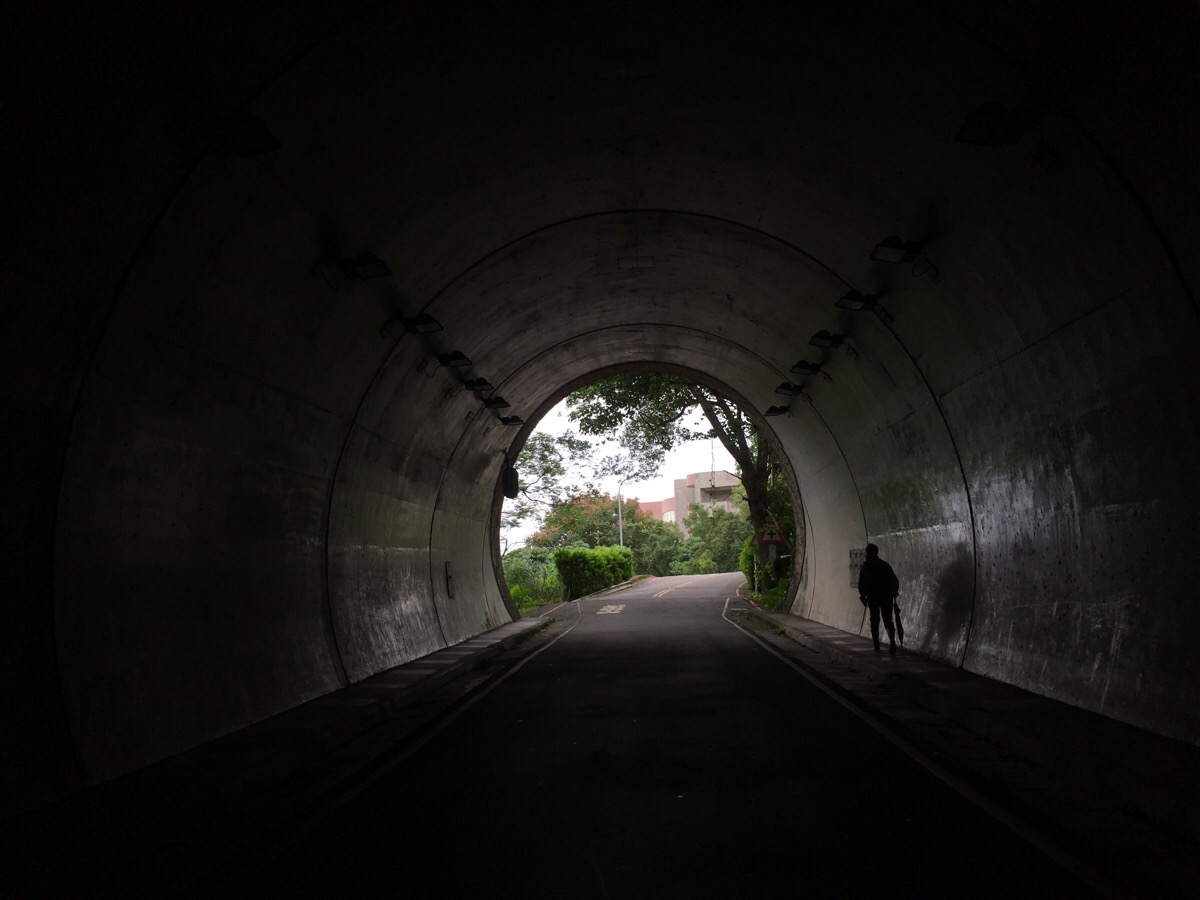
The tunnel ends at the edge of a university campus and we followed the road as it curved up to the right.

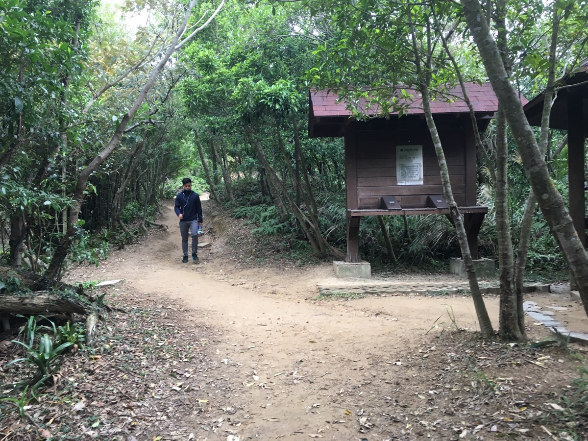
After a short distance, there is a map and some steps heading off on the right. This is the start of the trail.
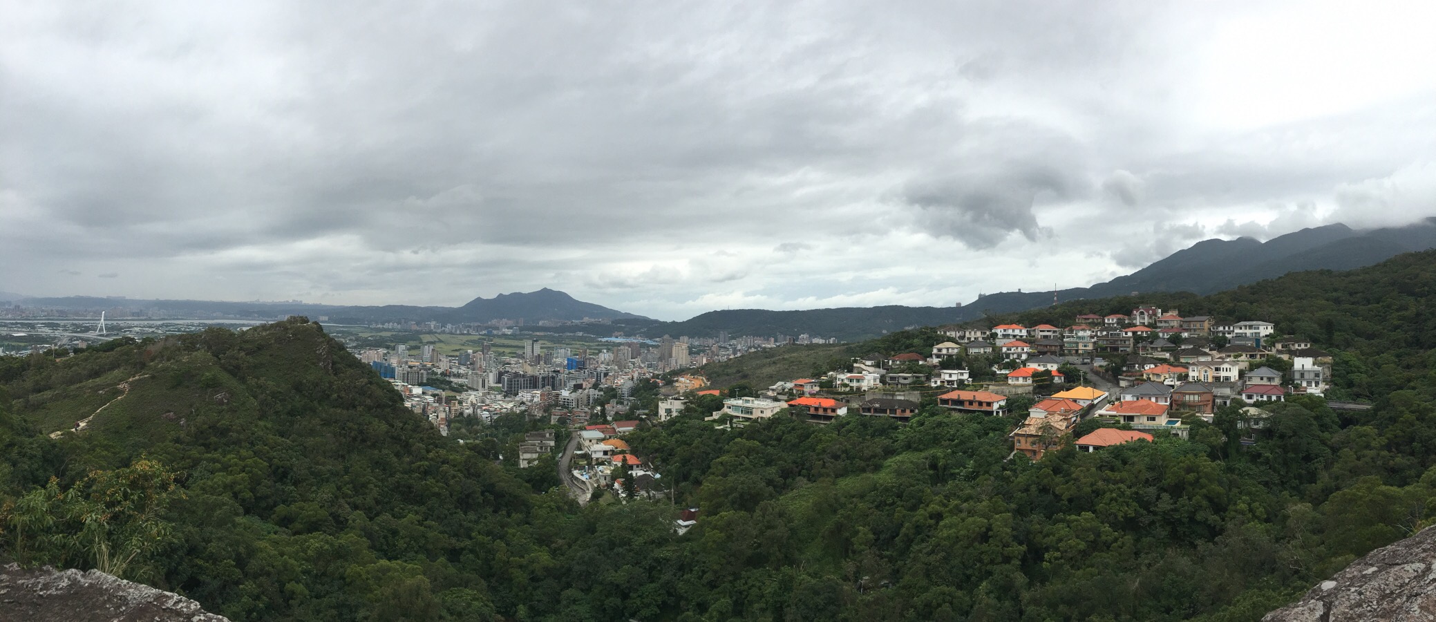
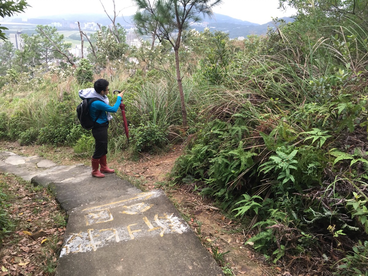
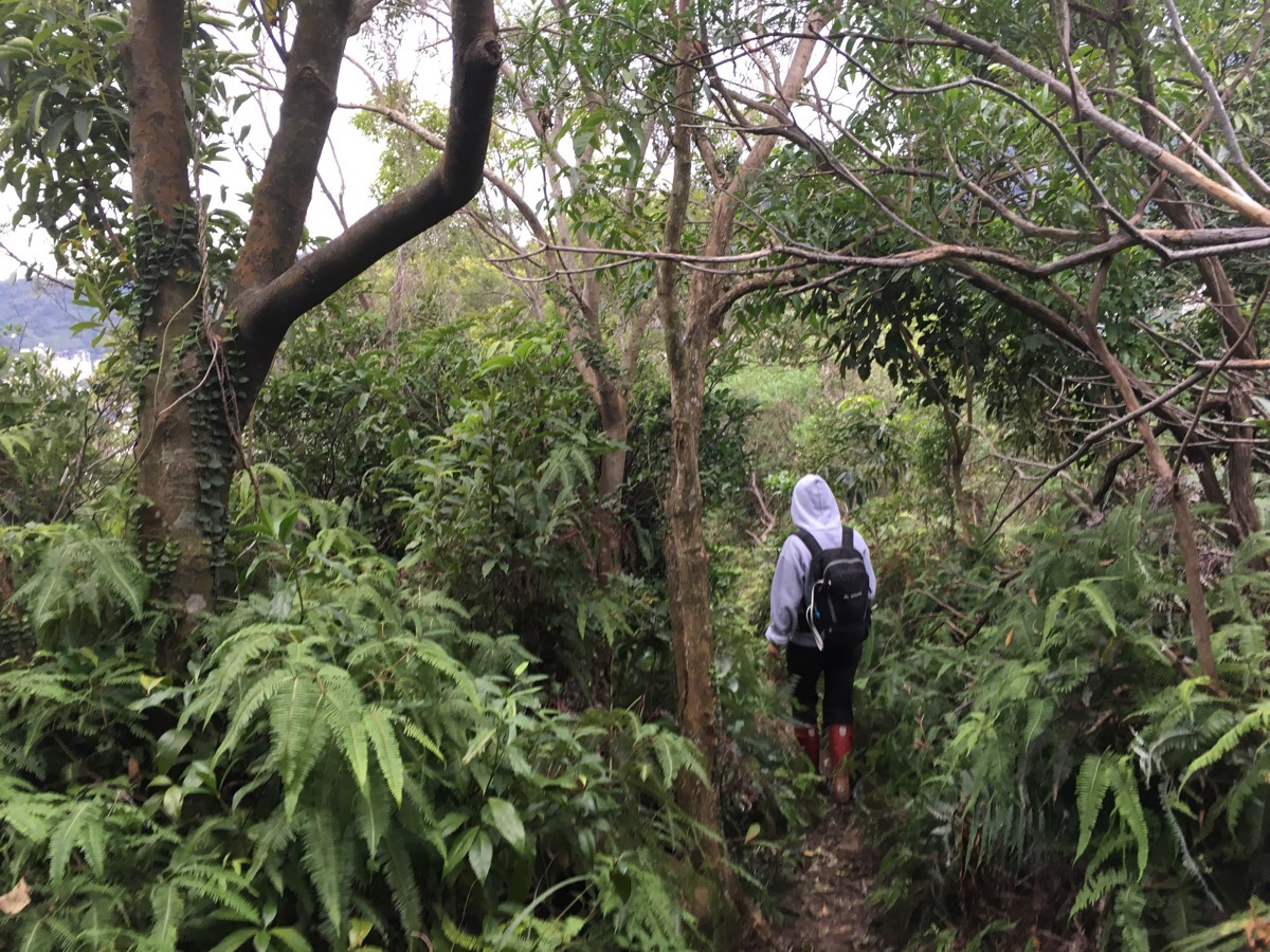
Heading up the steps we got views to the east over Beitou district. The neighbourhood closest to the path seems to have several large houses that were abandoned before construction could be finished. We also saw a large group of climbers who looked like they’d come up the hard way.

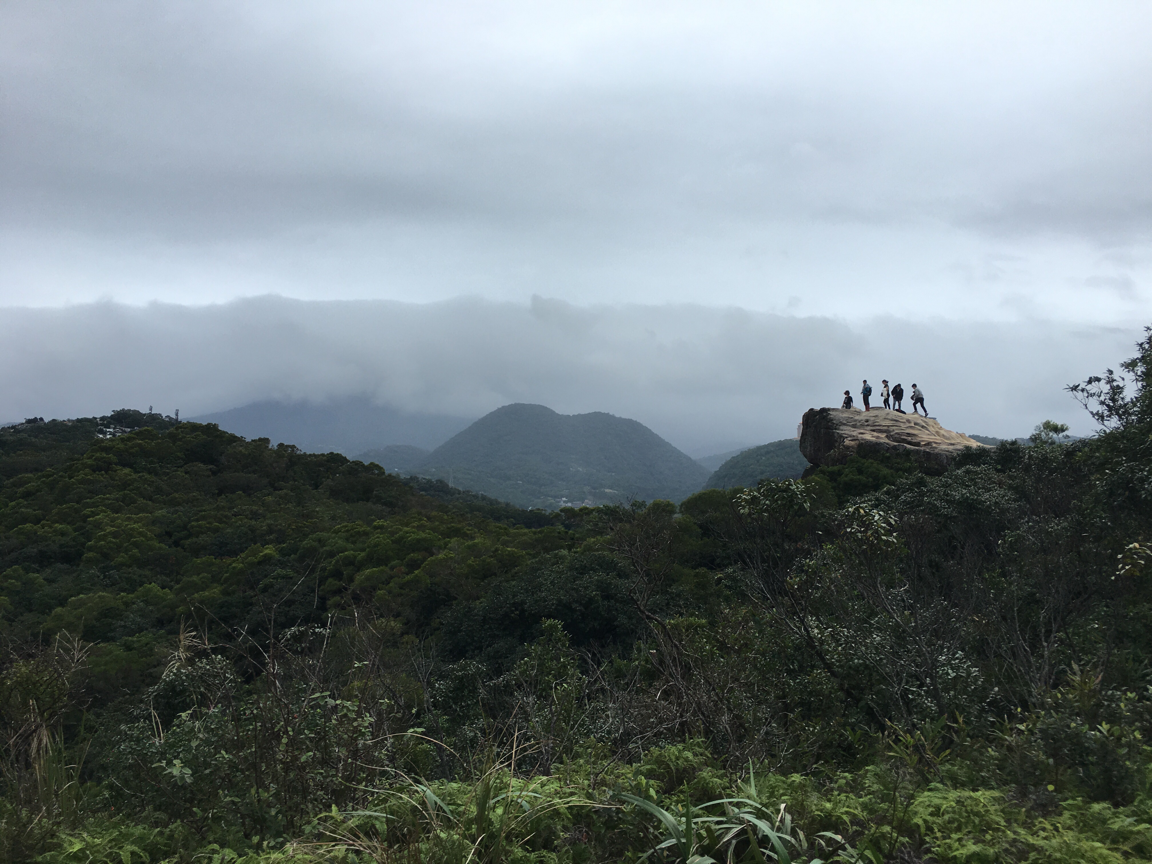
As we reached the highest area, the ground became beautifully weathered sandstone.
In fact the battleship rock that this walk is named after is formed of pale sandstone.
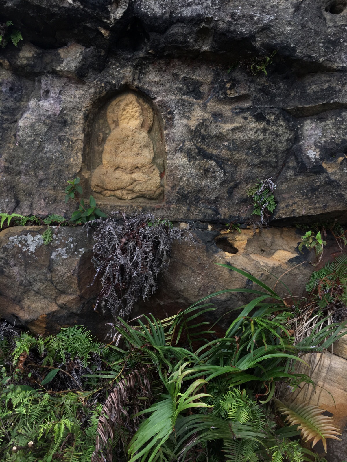
The top of the rock was full of school children and selfie-snappers so I explored around and found this carved into the side of the soft stone.

When we were ready to go we headed down the back of the protruding rock, (near the carving), and continued north towards Beitou and Zhaoning temple.
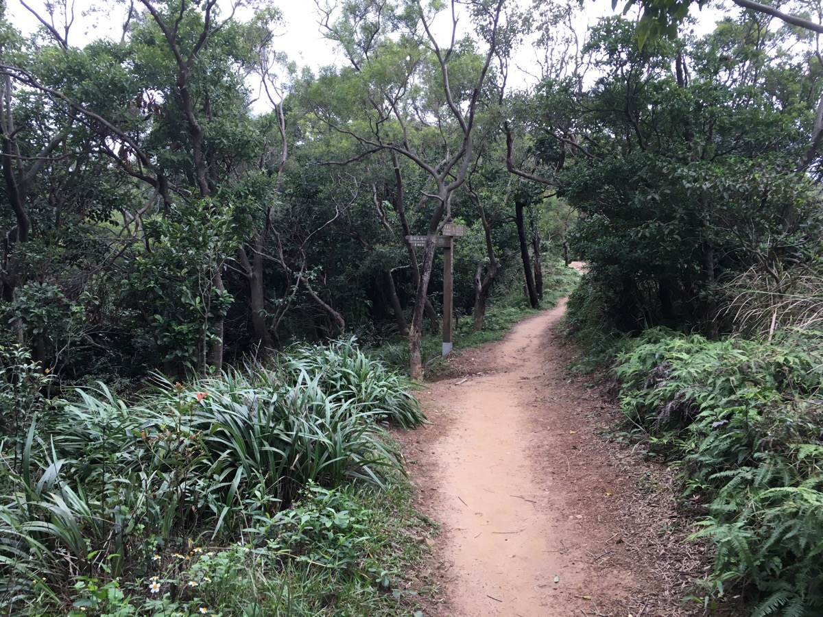
The sandy path passes an old-person exercise area on the left, with a sign indicating that Wellington Heights is only 150m down the path. We followed the sign which said 1100m to Zhaoning temple.
A little further on we passed a shelter and a brass rubbing station, (these seem quite common in hiking areas in the northern areas of Taipei).
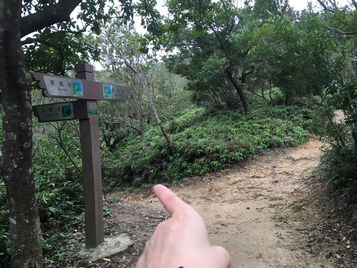
At the next junction we decided to head left, again following signs to Zhaoning temple, but looking at the map, it seems that either route would have been ok.
I can’t remember if this next turning was sign-posted, but it was an almost 90° turn to the right.
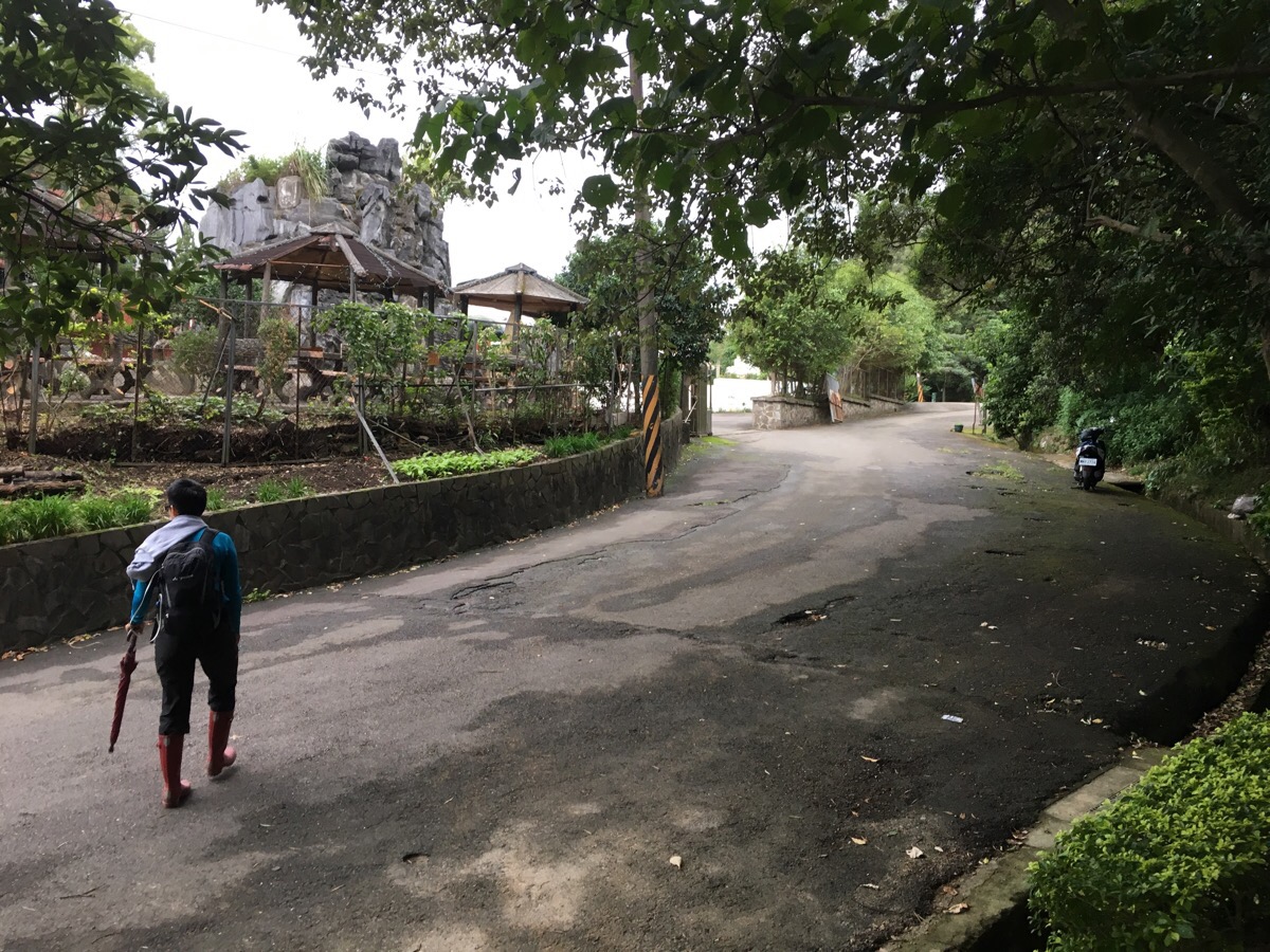
After a short and gentle downhill, we emerged onto the road and arrived at Zhaoning temple. The gates were open and a sign invited people in but it was weirdly off-putting, there was a feeling similar to that of an abandoned park coming from the place and we decided to just pass by instead.

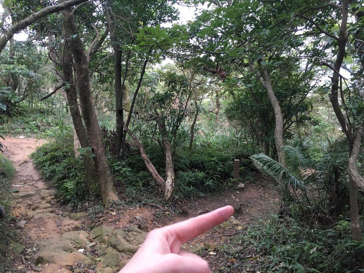
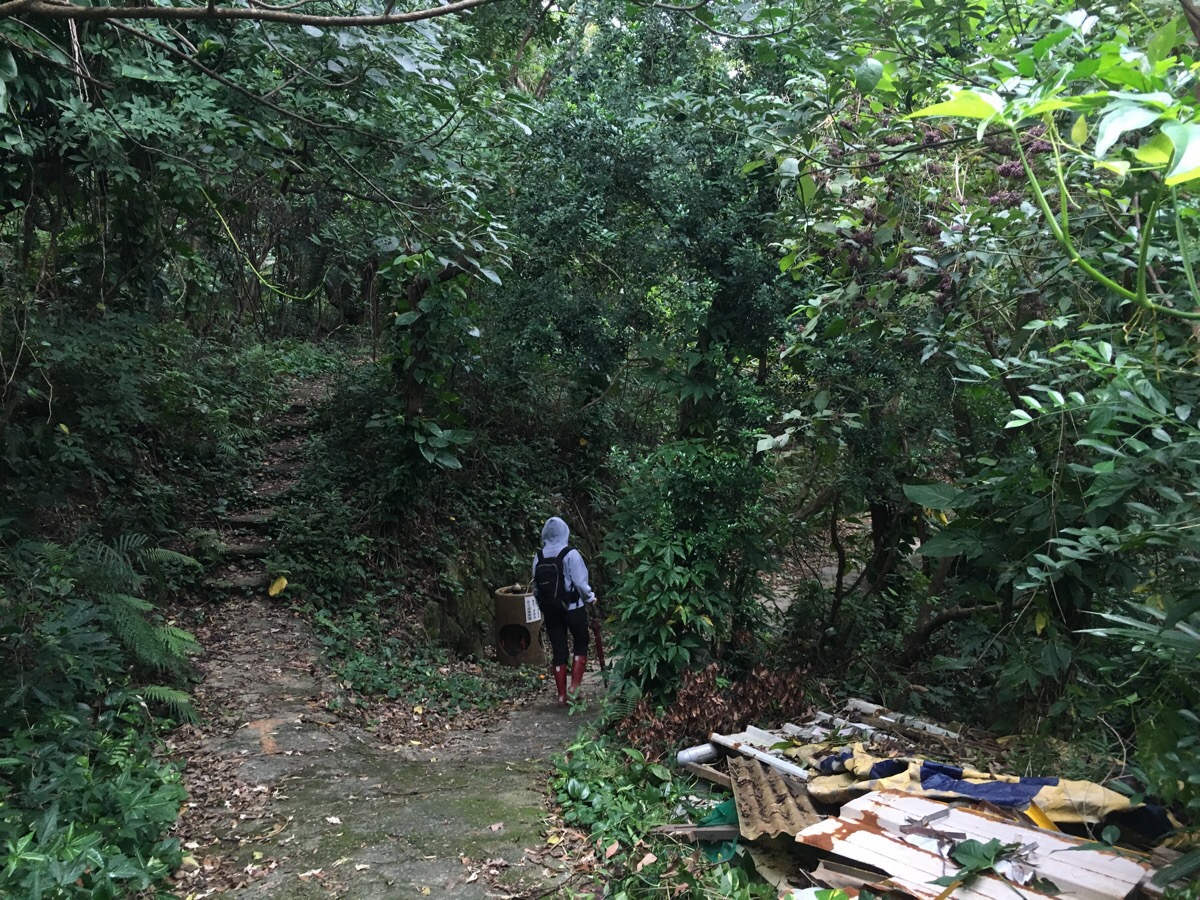
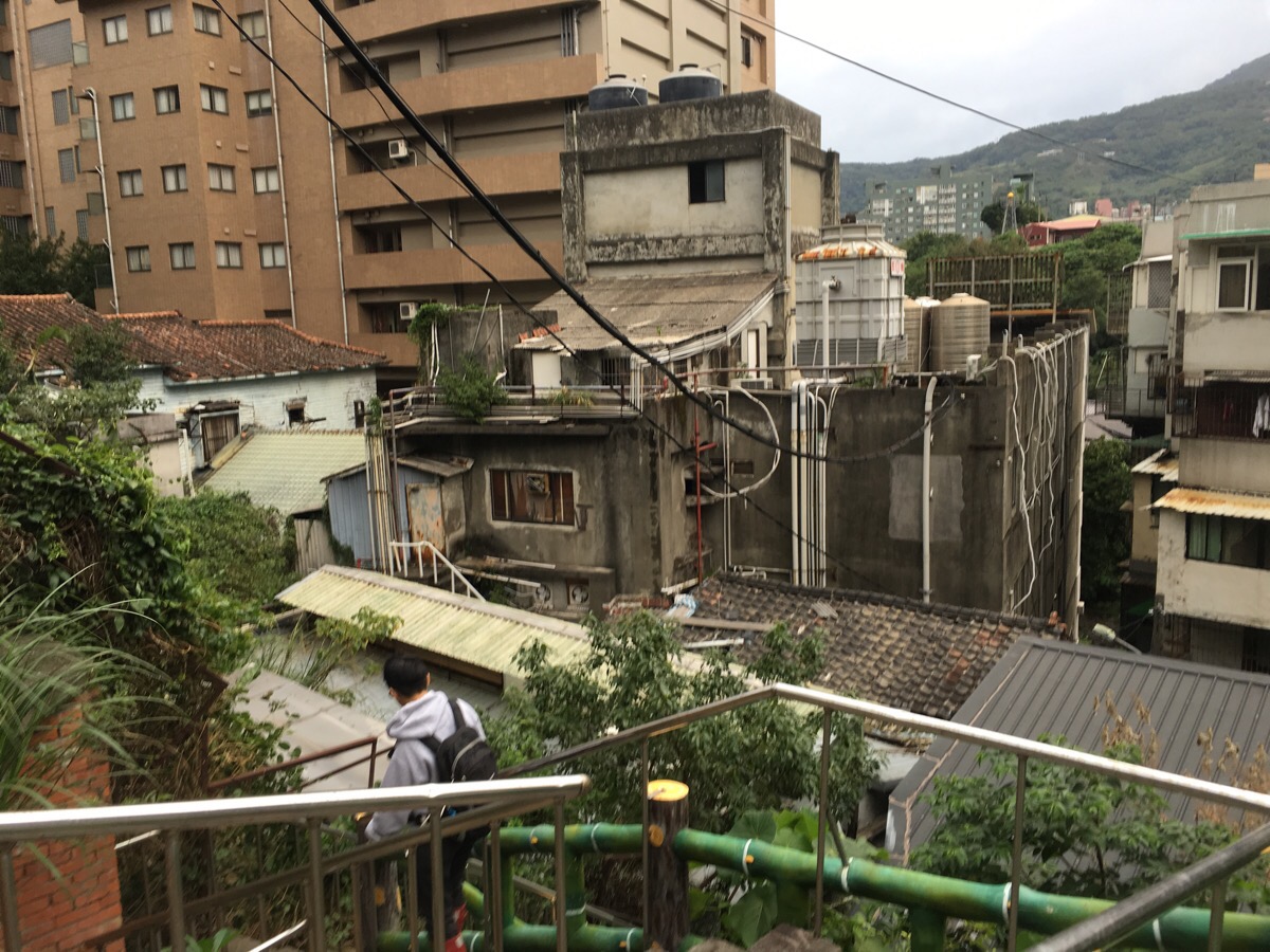
Heading up past the temple the road ends and becomes a path again,; it is possible to see signs of previous inhabitants, rusted barbed wire fencing runs alongside the track, a street number sits incongruously in the undergrowth and there are odd expanses of concreted ground.
As the path reaches a junction we turned left downhill.
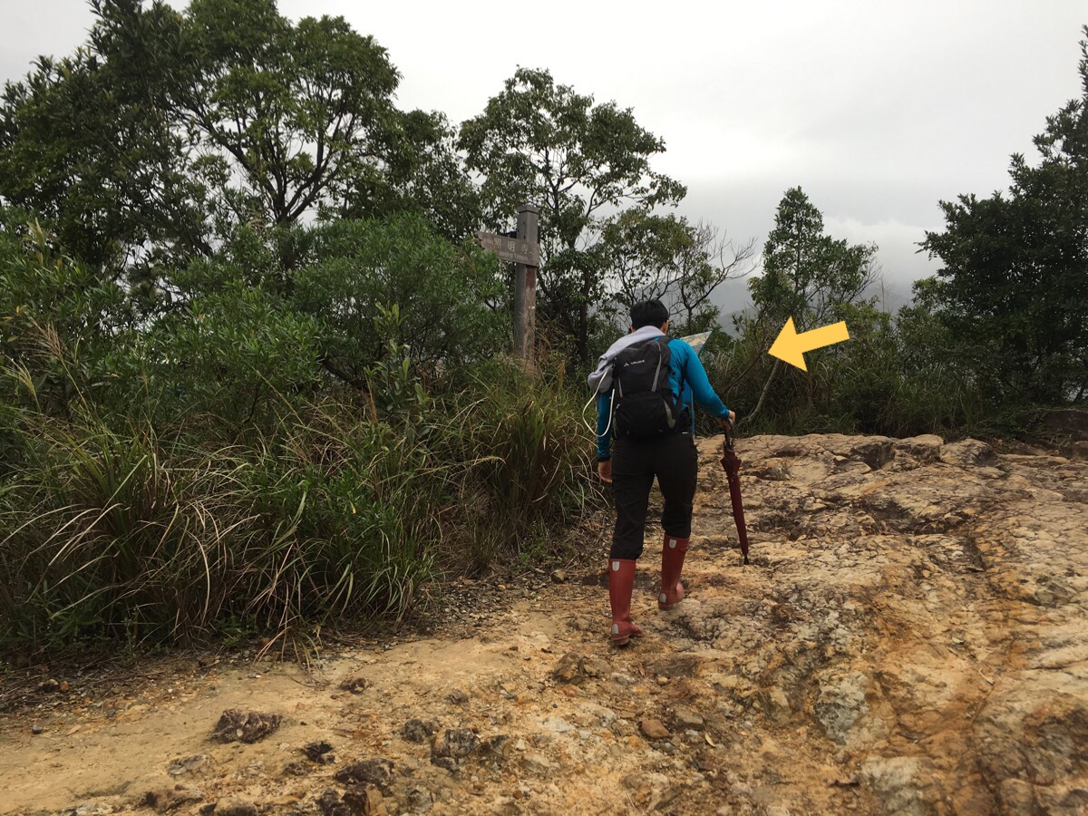
Two or three minutes later we came across a small junction which was signposted only by some words written on the ground. The writing indicated that there was a temple just a few minutes down the side track.

Less than five minutes after leaving the main path we came to 弘法大師岩, an old Japanese shrine to Kūkai, (a Buddhist monk and poet). If you search online, you can find old photos of how it looked during the Japanese occupation. It seems that in the years since then, nature has reclaimed a lot of the space around the large rocks. It also seems that the shrine is only sometimes open since when we went, the shutters were closed. There are lots of photos online showing what it looks like with the shutters open though.
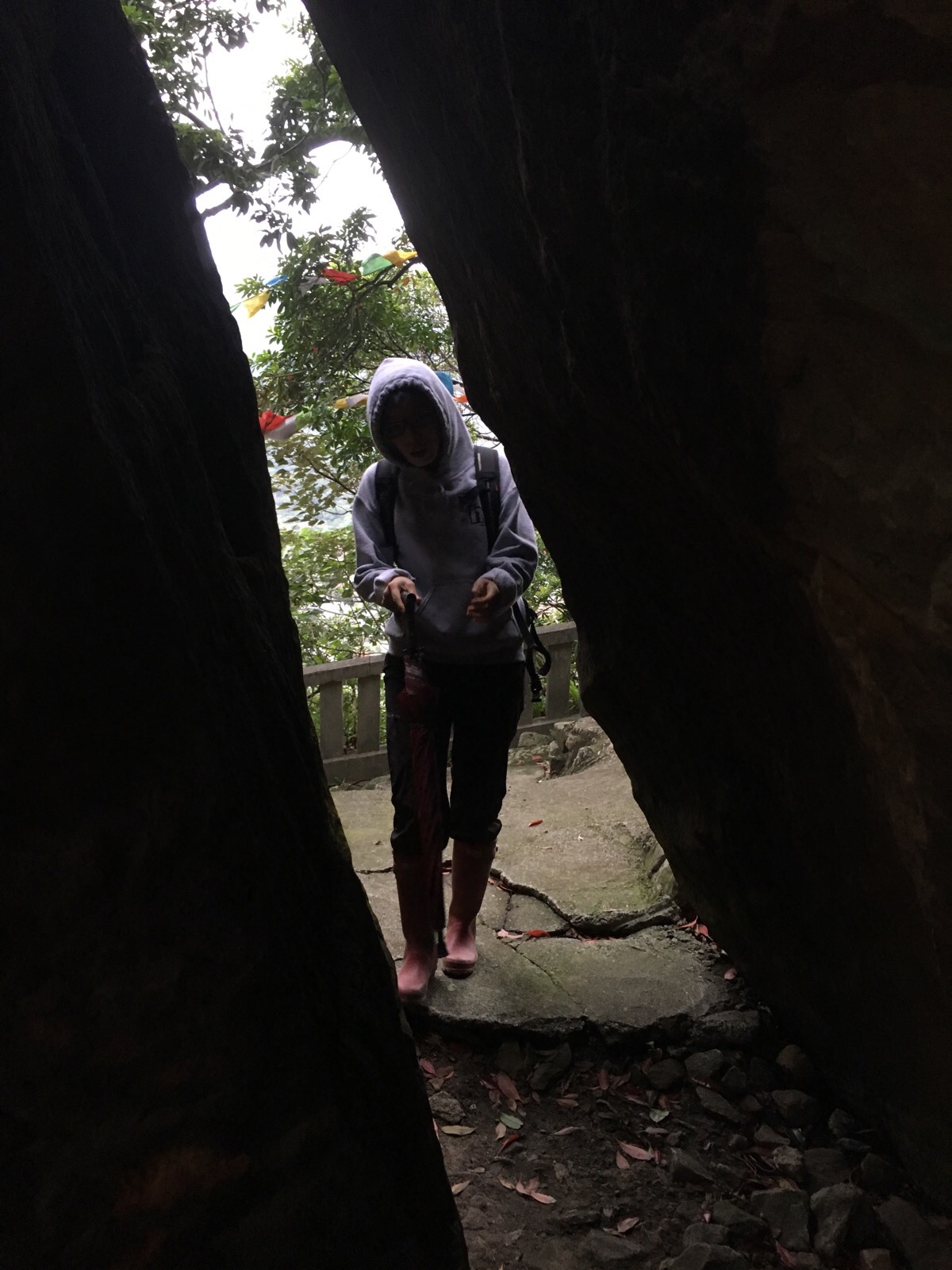
There are two little shuttered shrines, one carved into the front of the rock and the second round the back, a narrow gap between the rocks acts as a passageway between the two.
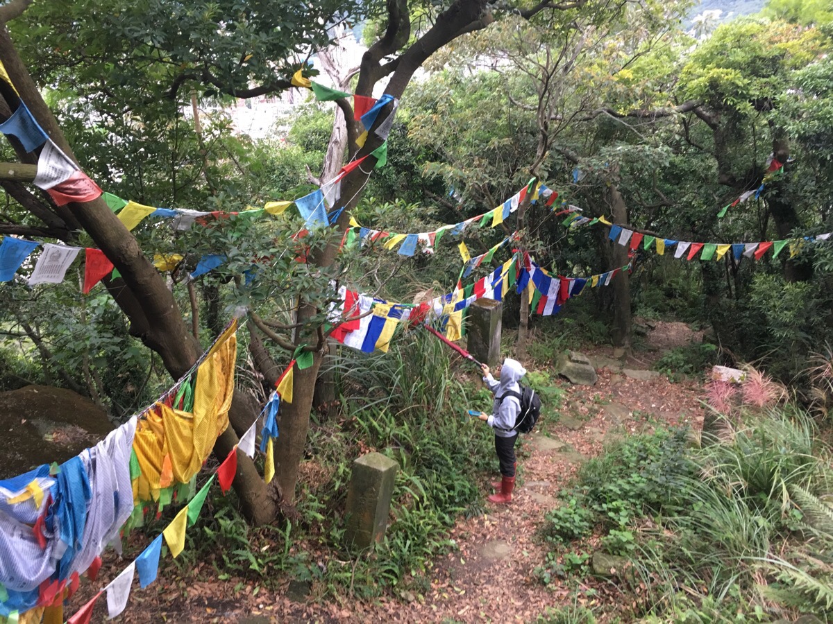
As with a lot of the Japanese mountain shrines still visible in Taiwan, the area is strewn with Tibetan prayer flags.
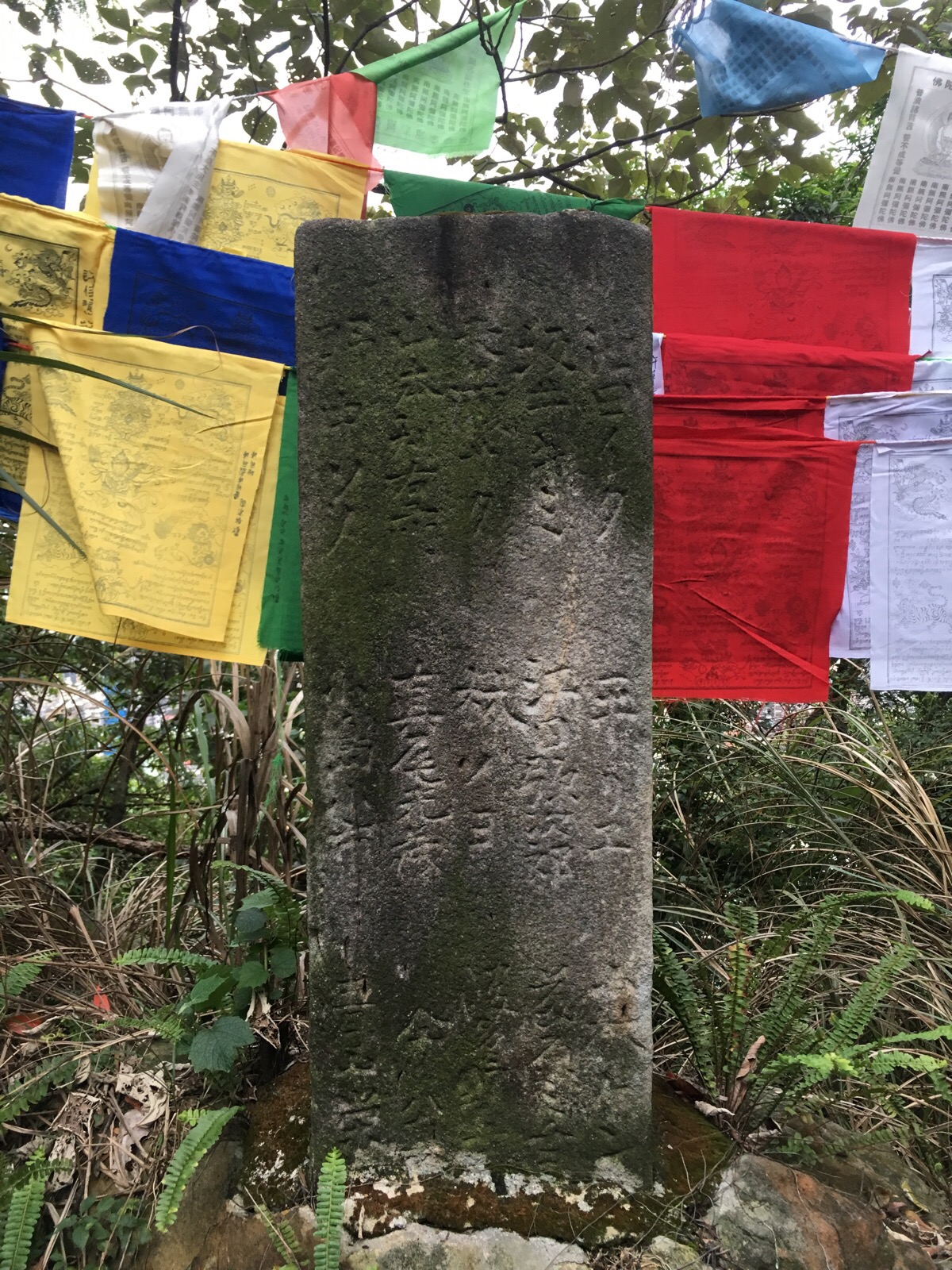
Words carved into small pillars flanking the path also attest to the fact that this place was constructed whilst the Japanese were in power here.
Once at the shrine we decided to just continue heading straight towards Xin Beitou instead of turning back and continuing down the orignual path to Beitou. This path was the narrowest and most overgrown of the whole walk.

At one point there’s a small junction, both paths go to pretty much the same place but we took the righthand one.
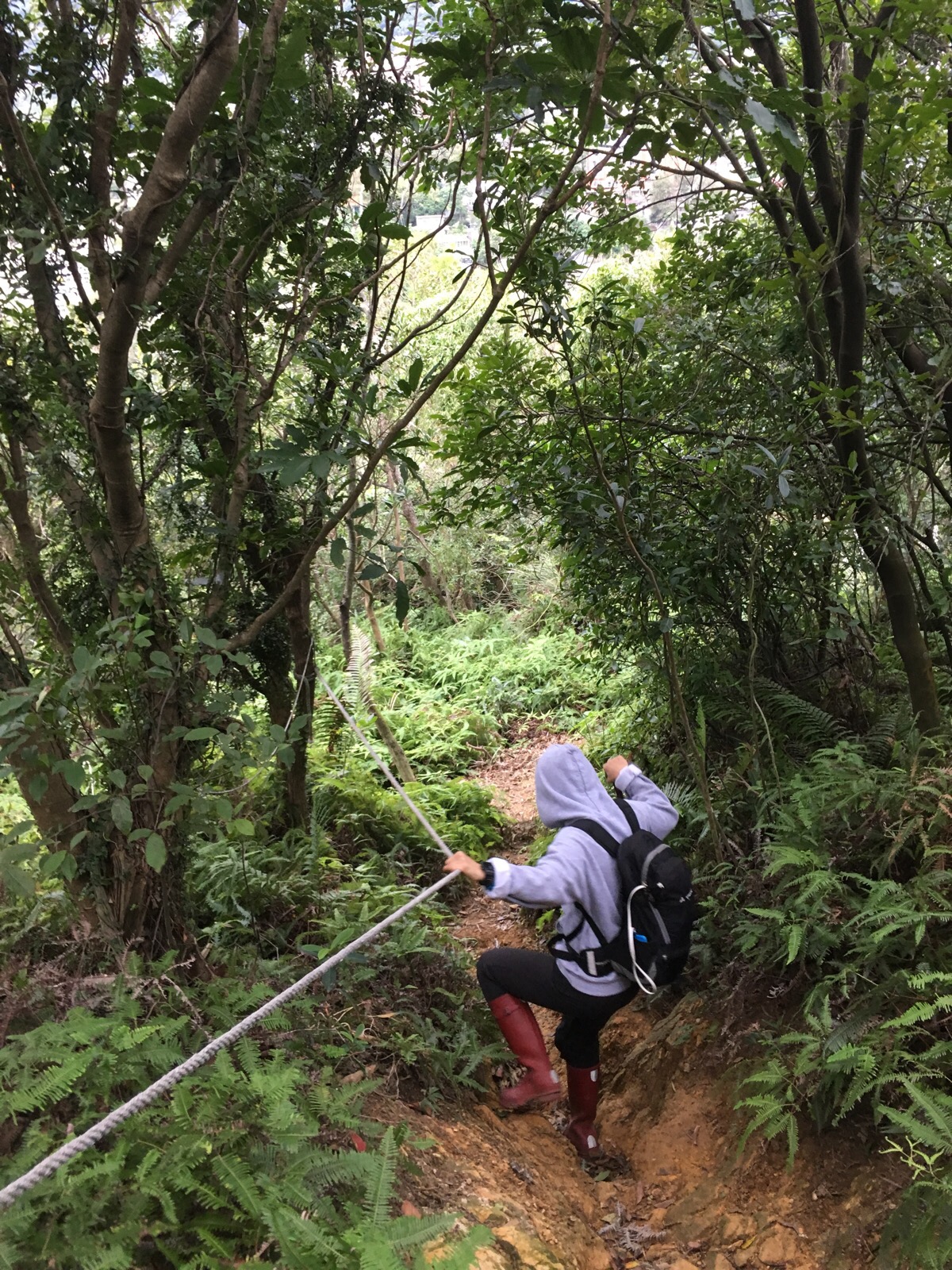
There was a short, roped section but it would have been ok without the rope.
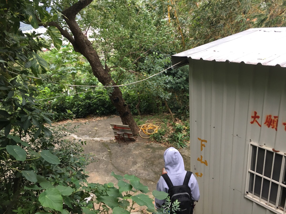
Five minutes after leaving the temple we arrived at the trail exit. Arrows on the building indicate that the way down is to the left.
After a few short steps, the second route down from the shrine joins the path. In this area, it was actually a little hard to work out where to go, but we headed straight until we got to something that looked likely.
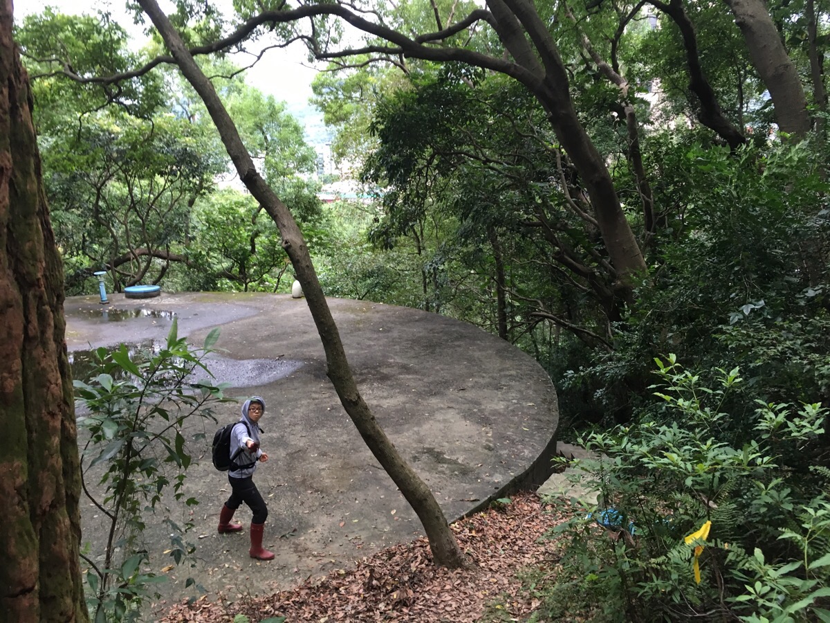
At this large, circular reservoir/helipad we took the stairs on the right which led down to the road.

The steps emerge out on a small road where we turned left downhill.

At the bottom of the small road we crossed over and headed down the steps.
As we headed down, we noticed a big, covered tank of hot spring water with steam rising off of it. It seems the house here get it pumped directly in.

The steps emerge out near Beitou park and hot spring museum so if you’ve got time, it might be interesting to check these out before heading to the train station.
How to get there
Google Maps address: 軍艦岩親山步道陽明大學登山口, Section 2, Linong St, Beitou District, Taipei City, 112 – this is the trailhead rather than the hospital.
GPS location: N25 07.417 E121 31.033 – again, this is the trailhead.
Public transport: You can walk to the hospital from Shipai station. Alternatively, you can take a bus to close to the trailhead from Shipai station.
Further reading: Over the City has some short but interesting sounding write-ups of other routes in the area around Battleship Rock and Hiking/Cycling in Taiwan has a similar route to what we did but coming down a slightly different way.
My new words learnt on this hike:
- 脾氣不好 / píqì / temper – as in 她的脾氣不好
- 預計 / yùjì / plan on or expect, but I’m not sure how to use this
- 屋子 / wūzi / house – I’m sure I’ve learnt this before and forgotten it
- 屋頂 / wūdǐng / roof
- 下一整天雨 / xià yī zhěng tiān yǔ / rain the whole day
- 學 / xué / study or copy – I knew this one to mean study before but I didn’t realise that it could also mean copy.
- 複製 / fùzhì / copy or duplicate (學 cannot be used to mean duplicate)
- 複製人 / fùzhì rén / clone – a cloned person
- o bei gong / nonsense – this one is Taiwanese, I hear it a lot both at home and at work, it became something of an earworm for me on this walk.
Battleship Rock Trail Map
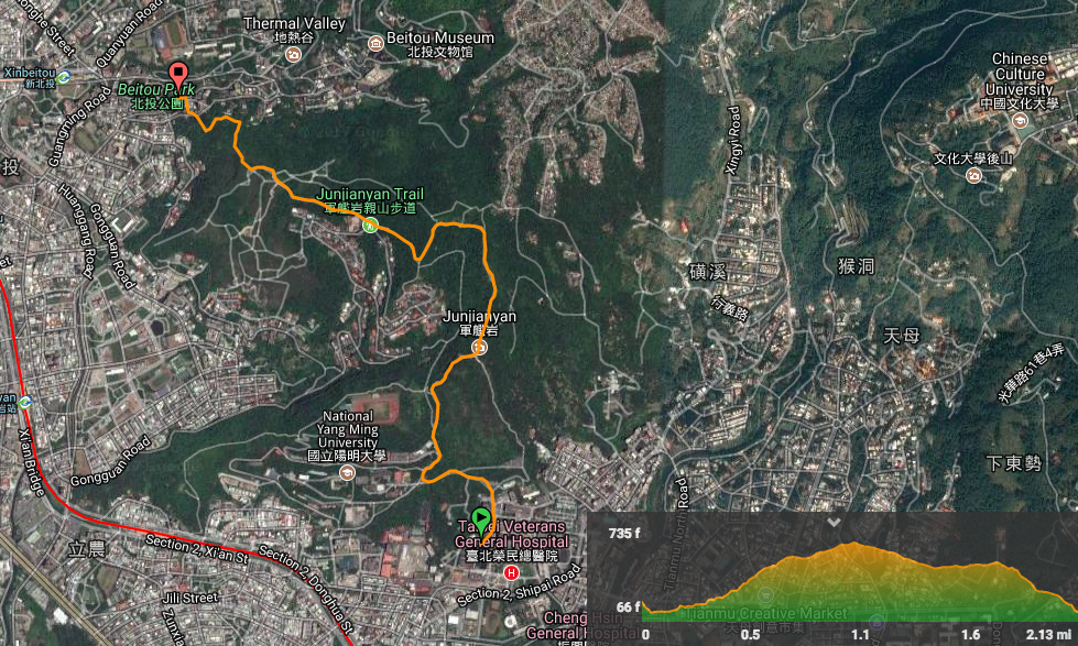
GPX file available here on Outdoor Active. (Account needed, but the free one works just fine.)
