Distance: 5.4km – Including the walk up to the trailhead from the bus stop.
Time: 2¼ – Walking by myself, I tend to be quicker than when I walk with Teresa.
Difficulty: 4/10 – It’s a pretty straightforward walk and most people should be able to do this. There are quite a lot of upward, uneven steps which might be tiring if you’re a beginner. Also, if you choose to take the Mount Ejiaoge diversion, there is a couple of roped sections, but you can cut that out if you don’t feel up to it. With the Ejiaoge section this is an easy-moderate hike. Without it it’s a more strenuous-easy walk.
Total ascent: 210m
Water: 1L – I was quite thirsty after all the up.
Shade: Patchy, I needed an umbrella for some bits but I had to put it away for the Ejiaoge section, luckily the sun had gone in by that time.
Mobile network: On and off. There were a few places where I noticed that I had no service.
Enjoyment: If you factor in the temple in a cave behind a waterfall, the unpaved and fun scramble section and the gondola ride home and the fact that it’s a public-transport accessible loop, then this is a pretty awesome city hike. Only the road section at the start and all the horrible pipes transporting water down from the stream slightly detracted from the enjoyment.
Jump to the bottom of this post for a trail map, GPX file, and transportation information.
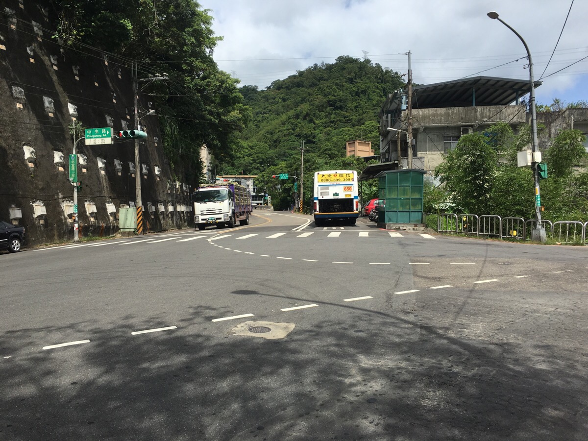
At Zhong Sheng Qiao Tou bus stop, I got off and kept heading up Beiyi Road
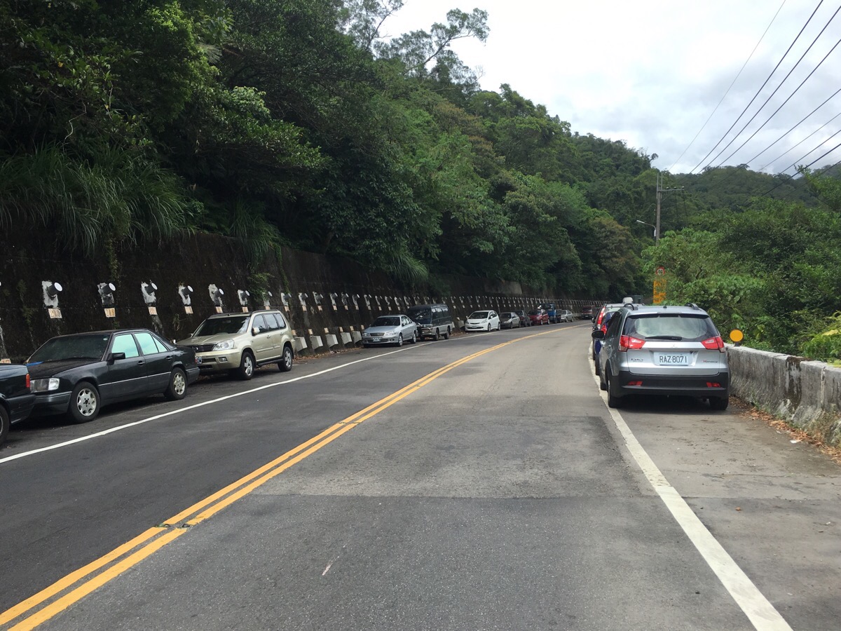
This road is the least pleasant part of the walk, there are no pavements, the traffic goes pretty fast and there are parked cars on both sides which seemed to be either abandoned or stopped for the occupants to take a lunch break. But it’s only about 10 minutes of brisk walk and there weren’t too many passing cars.
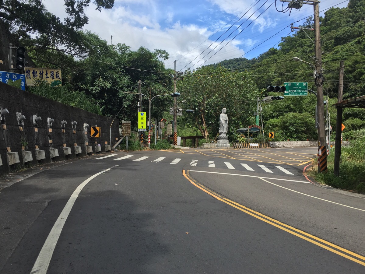
At the far end of a bend and next to a statue, you need to take Yinhe Road. It’s signposted as being the right route for Yinhedong Trail, the sign says it’s 1.2km up which is pretty accurate – it took me 15-20 minutes to get to the trailhead. As you walk up Yinhe Road you’ll find a few houses and small businesses. I was a little anxious that I might meet some company guard dogs but luckily there doesn’t really seem to be any. The road follows the river up and if you look over the rail, you can see fish darting around in all the larger pools. I also saw evidence that this area is much busier on weekends in the form of a mound of discarded coconut husks dumped into the stream. It really frustrates me when I see things like that, doubly so since I’m not sure that as a foreigner I have any right to pass judgment on what Taiwanese people do in their own country.
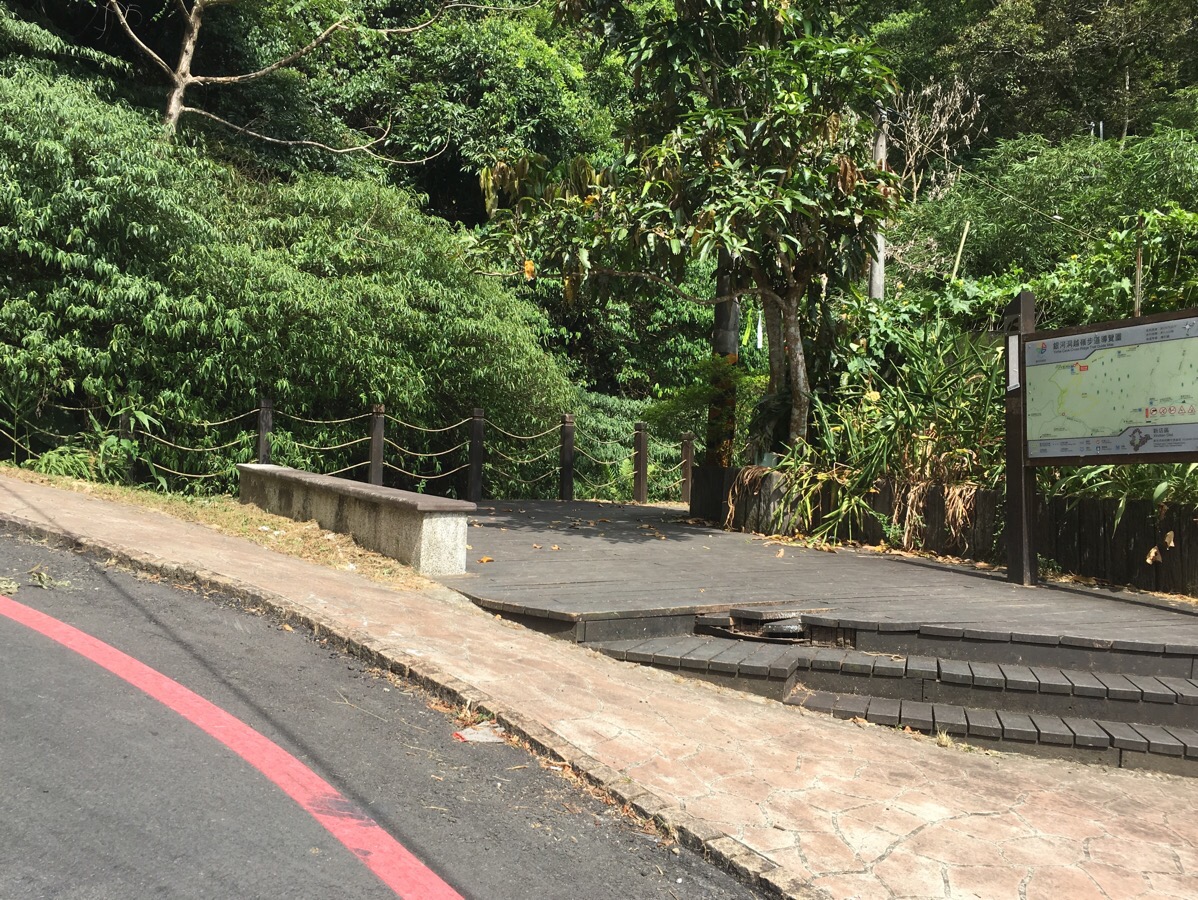
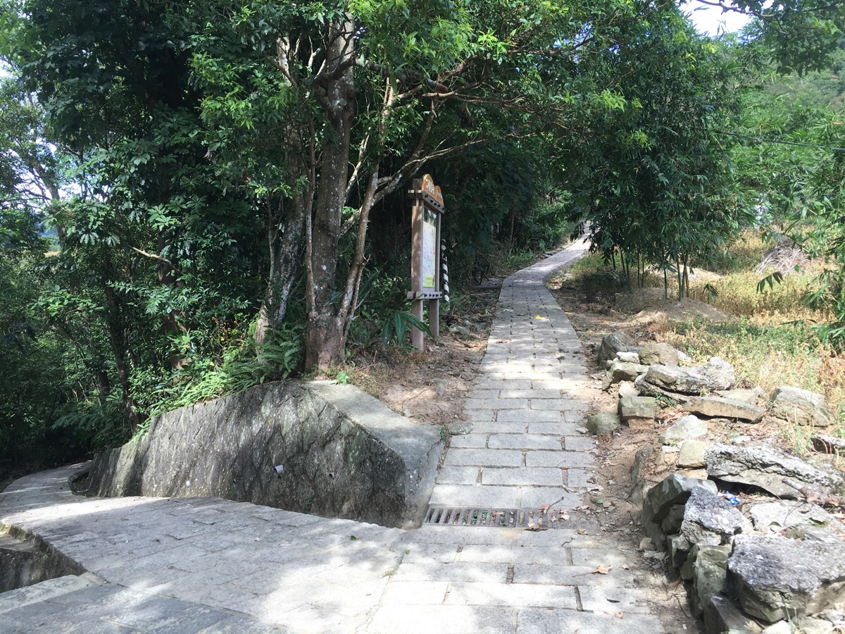
The trail starts at a bend in the road (just before penglai xian guan/蓬萊仙館 – the English translation works out to be Penglai Fairy Hall which I think sounds charming, but fairy here is likely to mean god or spirit). The first section of the path up is really straightforward, just keep following the water uphill.
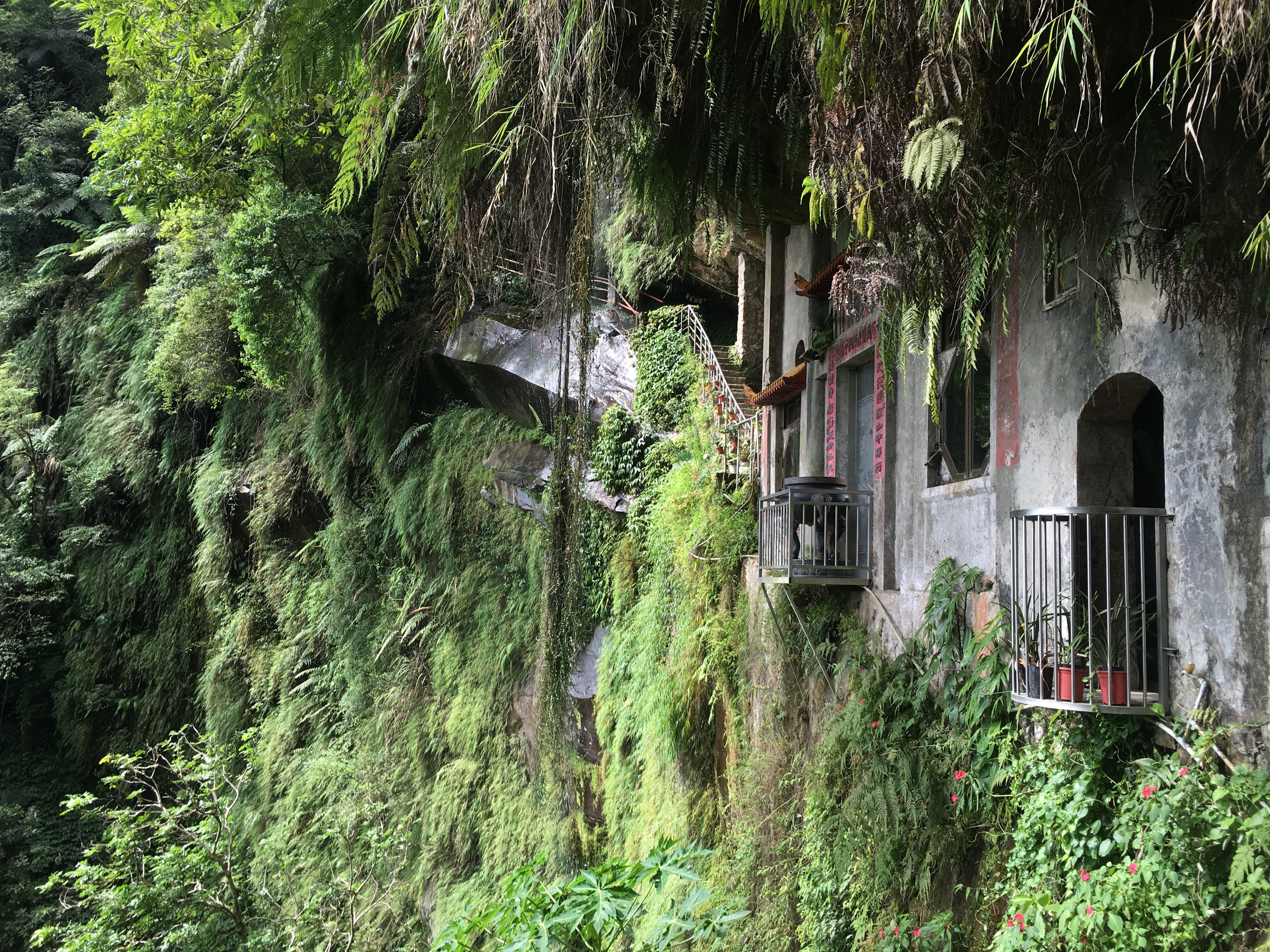
The temple, which is the main draw of this hike, is built into and on the side of a cliff face and there is a lovely vantage point where you can look through one of the windows towards the rest of the temple and the waterfall – it’s the view on the cover of this post and you’ll find something similar on most blogs about this walk (like here or here or here). The last time I came here the waterfall was in full flow after some heavy rain, this time just a trickle fell from the ledge above.
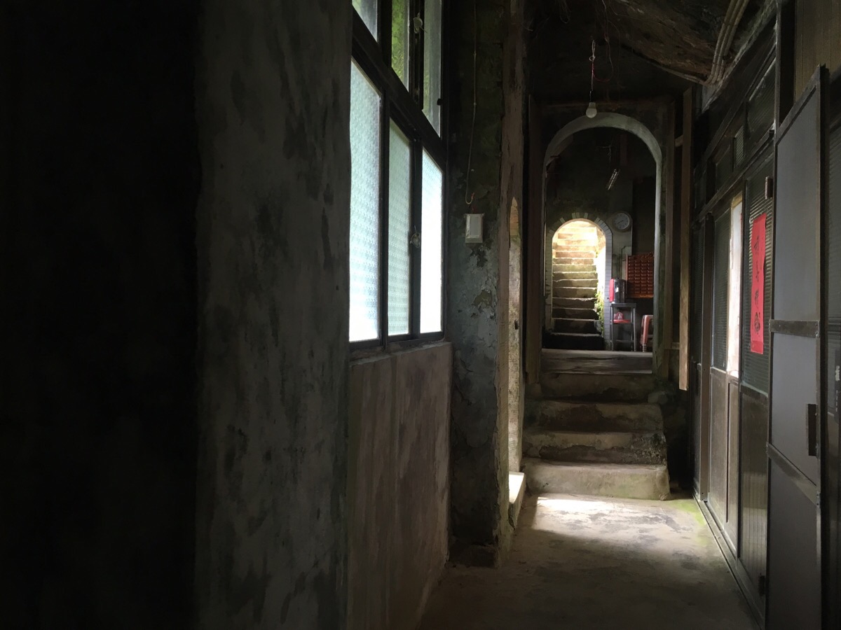
Walking through the temple you can hear the drip of the water into strategically placed plastic buckets and the walls bring some respite from the summer heat.
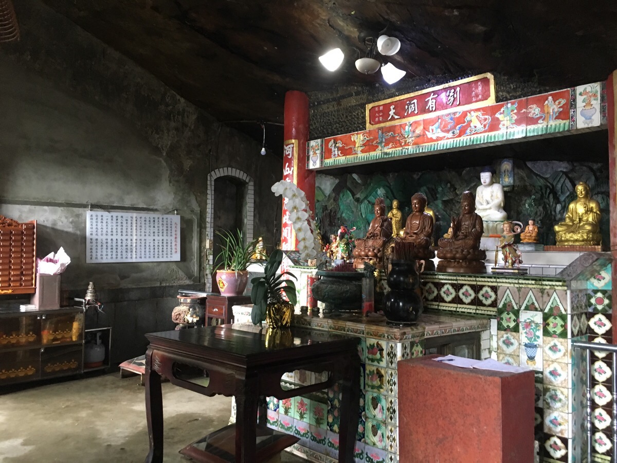
The main altar is crowded with deities and it has that very distinctive feeling of a religious space that’s somewhat removed from civilisation. I’ve felt it at a temple on top of a mountain in small churches in rural Scotland. I don’t want to get all mystic or spiritual and I’m not at all religious, but there’s just something about the hills and more wild landscape which provokes a receptiveness to larger ideas.
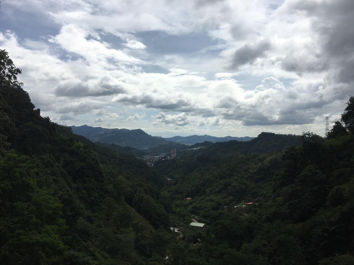
From a meditation area set into the rock you can look back out over the valley and I can see why someone was inspired to worship here. On this occasion, I was the only person at the temple but on the previous visit there were about five people sat with their eyes closed, silent and meditating. I sat by myself for a while, enjoying the sound of the water and the feeling that I was an eye in the sky, able to look down on all that was below me.
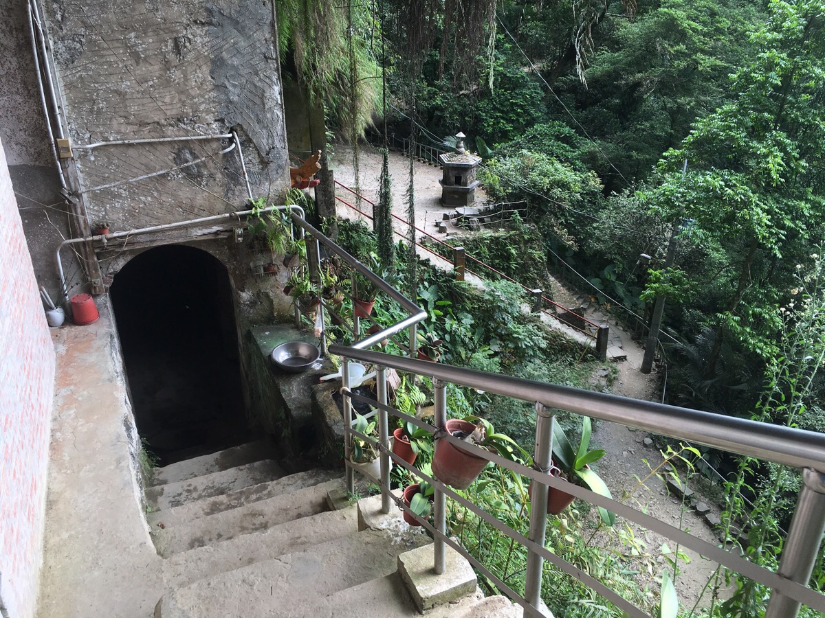
There’s a sink next to the temple which is fed directly from an ugly bowl set under the waterfall.
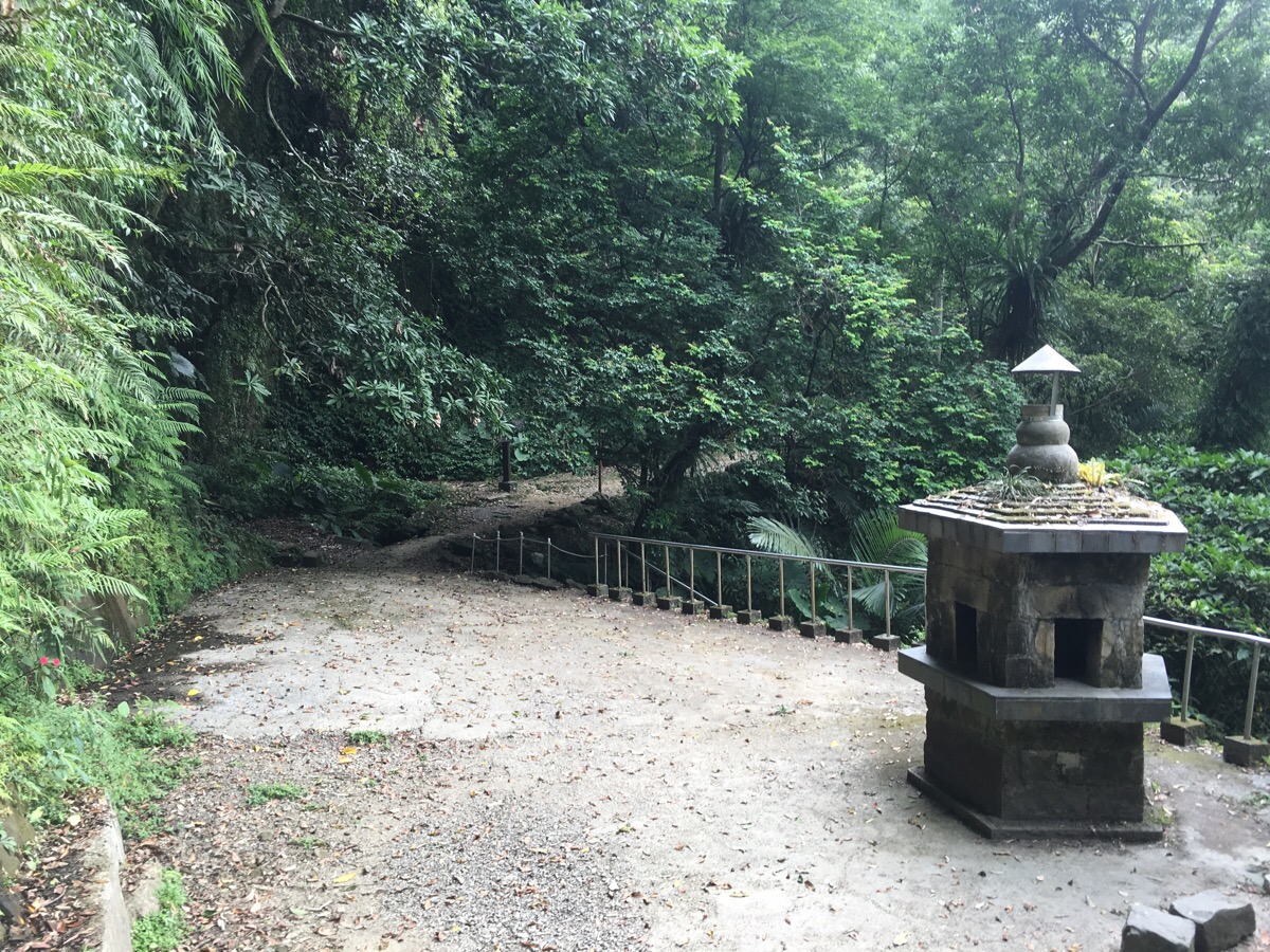
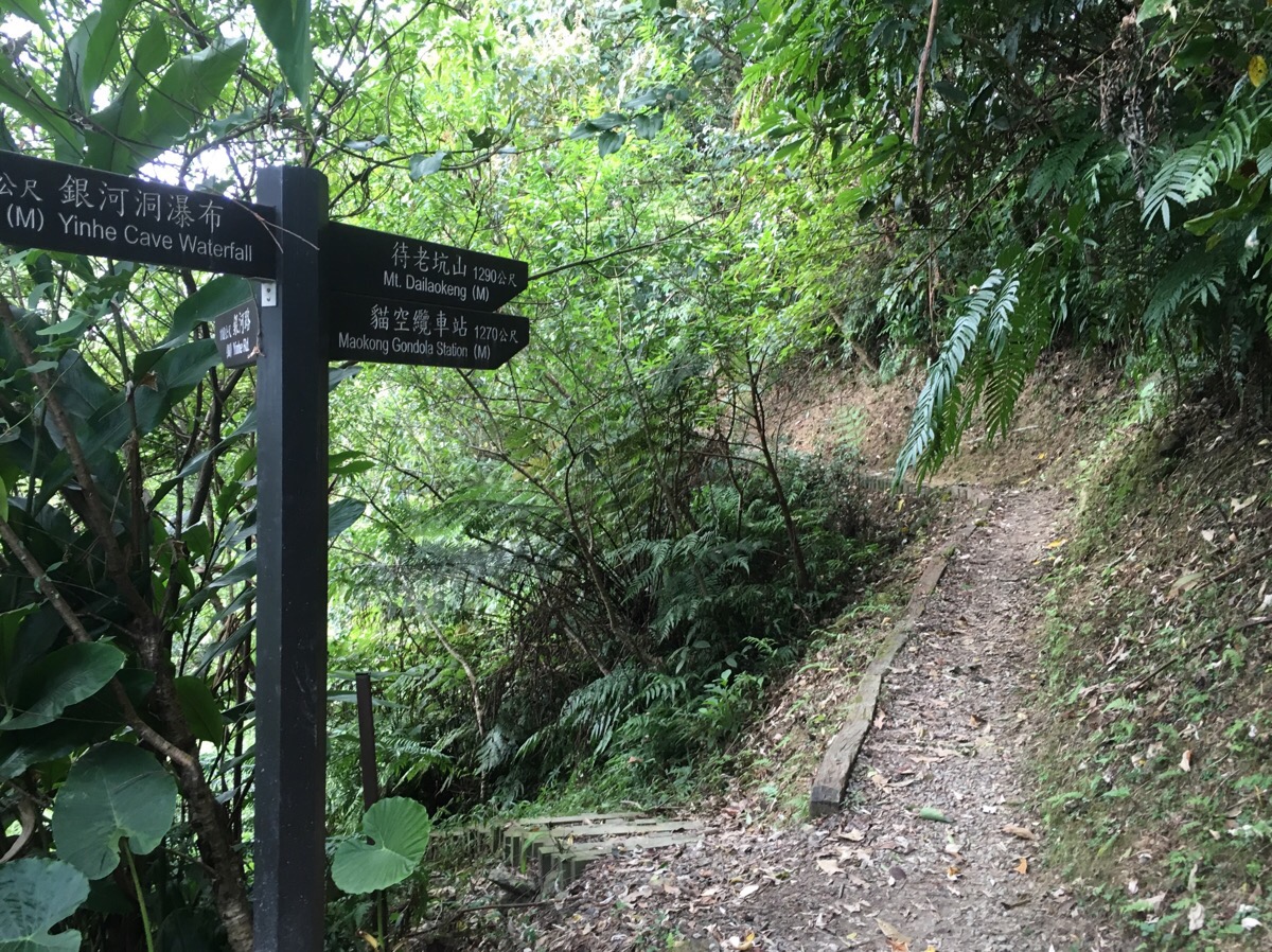
If you’re only interested in seeing the temple you can turn around and go back the way you came but I’d recommend that you keep going because the whole walk is pretty worthwhile. Follow the path leading off beyond the incense burner – there’s another waterfall here, when we came in February it was a strong and steady stream but this time I only saw droplets falling down a mossy rock face. A signpost says that it’s (a very precise) 1905m to the Maokong gondola station and 1930m to Mt. Dailaokeng.
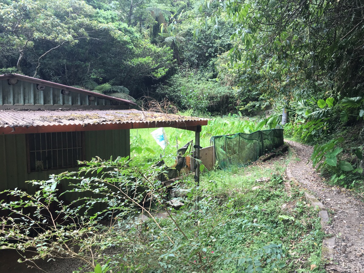
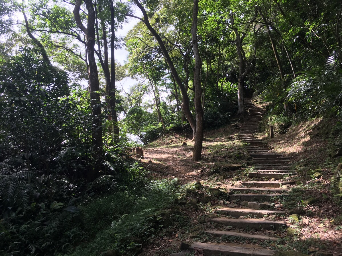
Much of the path is made up of stone steps or loose shale-like rocks so I imagine it must be pretty slippery after rain. The path hugs the stream for a way, passing an old farm building. The stream pools were full of fish. It started to rain, but only that really fine, light rain which feels more like mist, I think the heat from my body must have been enough to evaporate it as it landed on me.
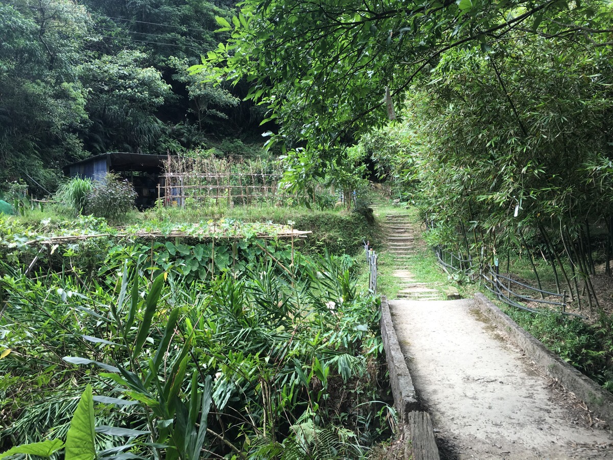
At a farm area, the path goes over a bridge and up some steps. There’s a map and a signpost at this junction. The signpost and the map suggest that this is the only route from here but using my GPS app, it looks like at least five paths converge on this point – the other paths seem to be a lot harder and rougher, not the sort you’d want to do alone or unprepared.
At the next junction, I headed right and up towards Maokong gondola station; the left-hand path just goes back to a road.
Soon there’s another turn-off and again, I kept heading towards Maokong.
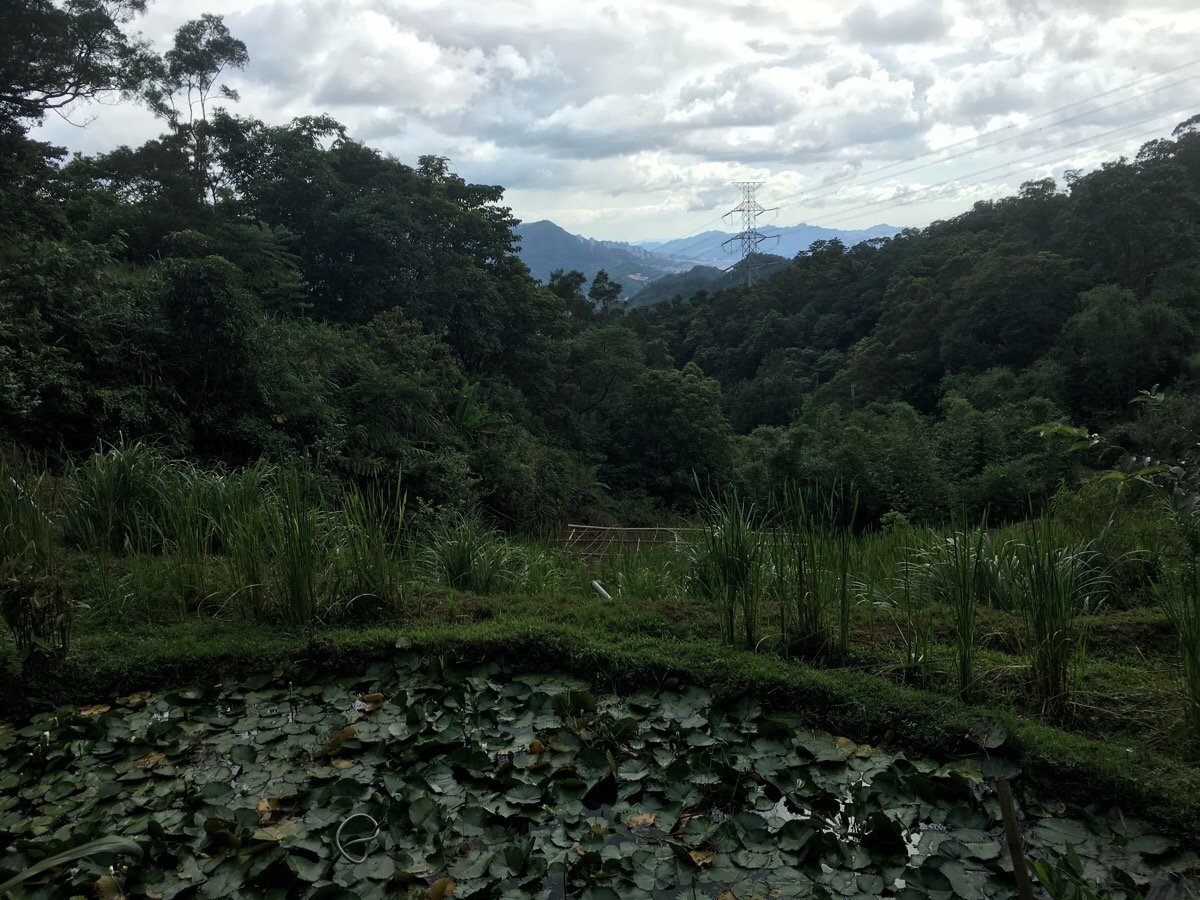
For this part of the walk the path curves around the side of a hill with the up on the right and the valley on the left. At the inside of the curve, there’s a very lived-in traditional farm building. When I passed it the radio was blaring out Taiwanese songs, there was a woman laying out slices of white radish to dry in the sun and a man cleaning out the drainage area of a small lotus pond.
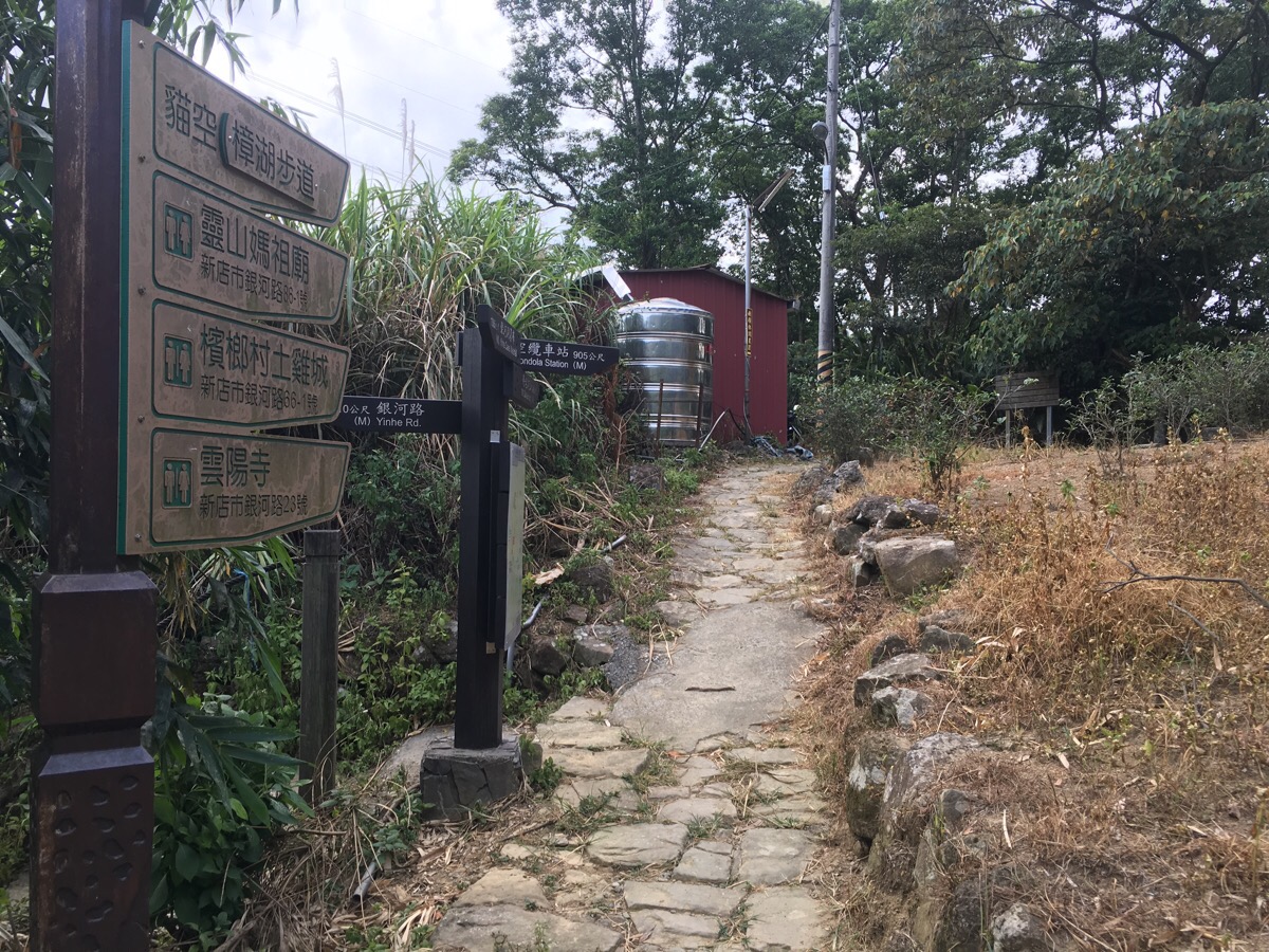
After passing through the farm’s adjoined tea plantation, the path reaches a complicated junction. Basically, I just kept following signs towards Maokong, (up to the silver water tank and then turn right).
It’s the only uphill path away from the convergence of routes and the sign says it’s about a further 900m to Maokong if you go by the main path.
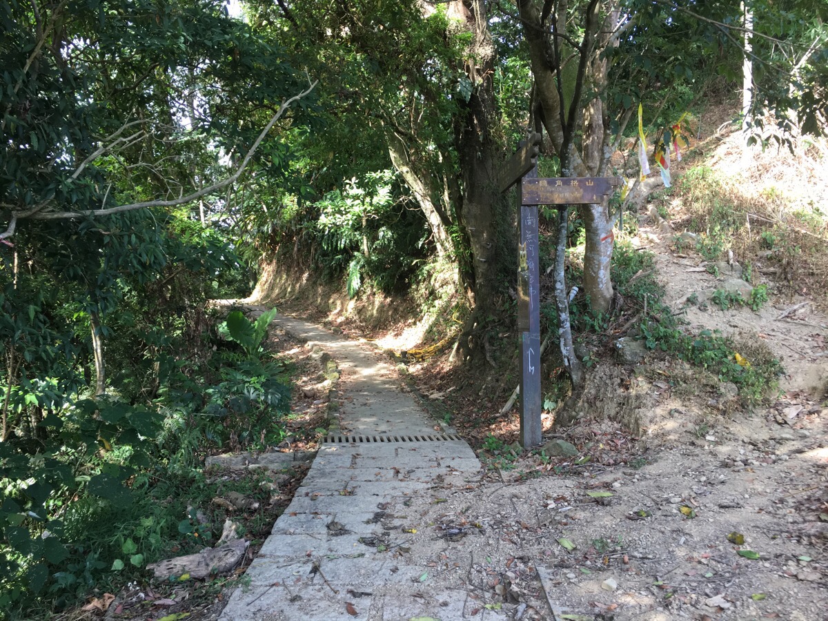
But I didn’t go via the main path. At this small junction, I noticed a smaller, more exciting-looking path going up and right to Mt. Ejiaoge – I’d noticed that there was a geocache listed at this location, the sign suggested it was only 15 minutes and since the map seemed like it shouldn’t be too tough and I had plenty of time, I decided to give it a go. If you don’t fancy a climb then you can just skip this section and keep on the path*.
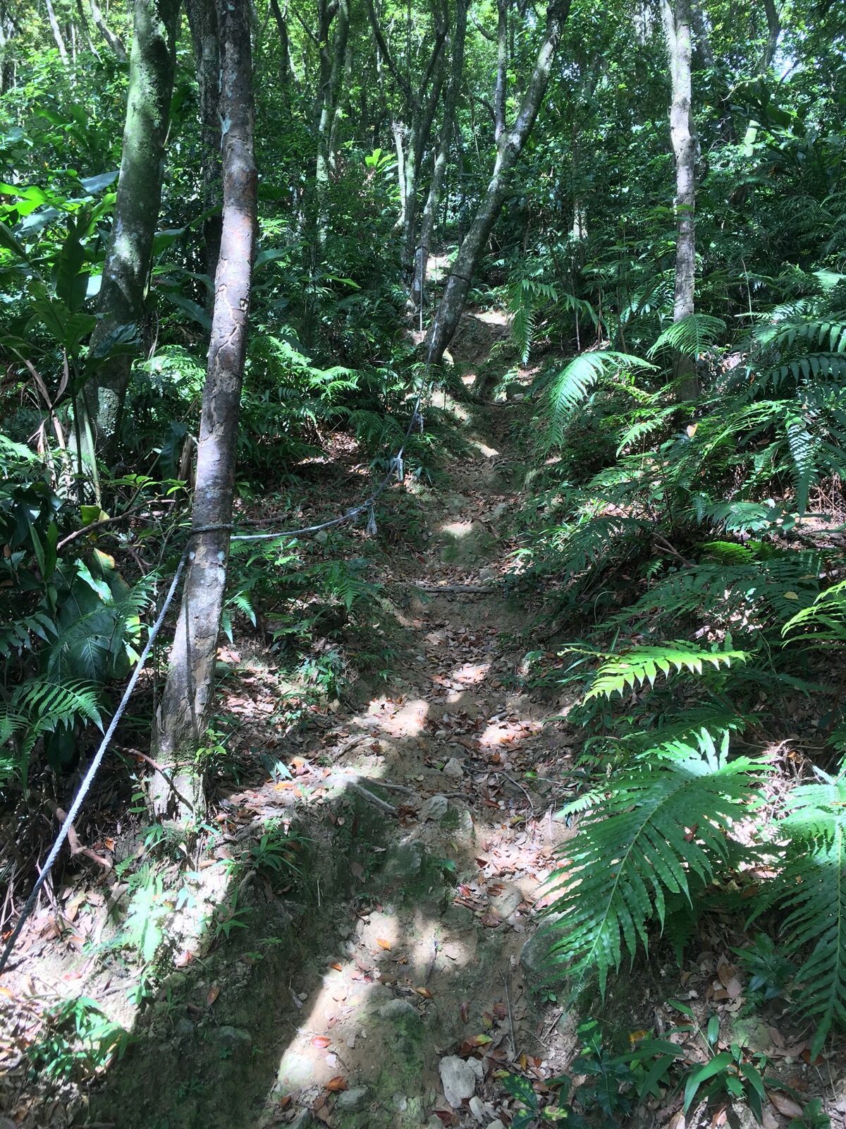
This was the hardest section of the path, there were a couple of ropes to pull yourself up but actually, I think they would only be necessary if you were coming down in wet conditions, the climb really wasn’t that strenuous. It was really fun to do a spot of scrambling after all the paced path I’d done so far.
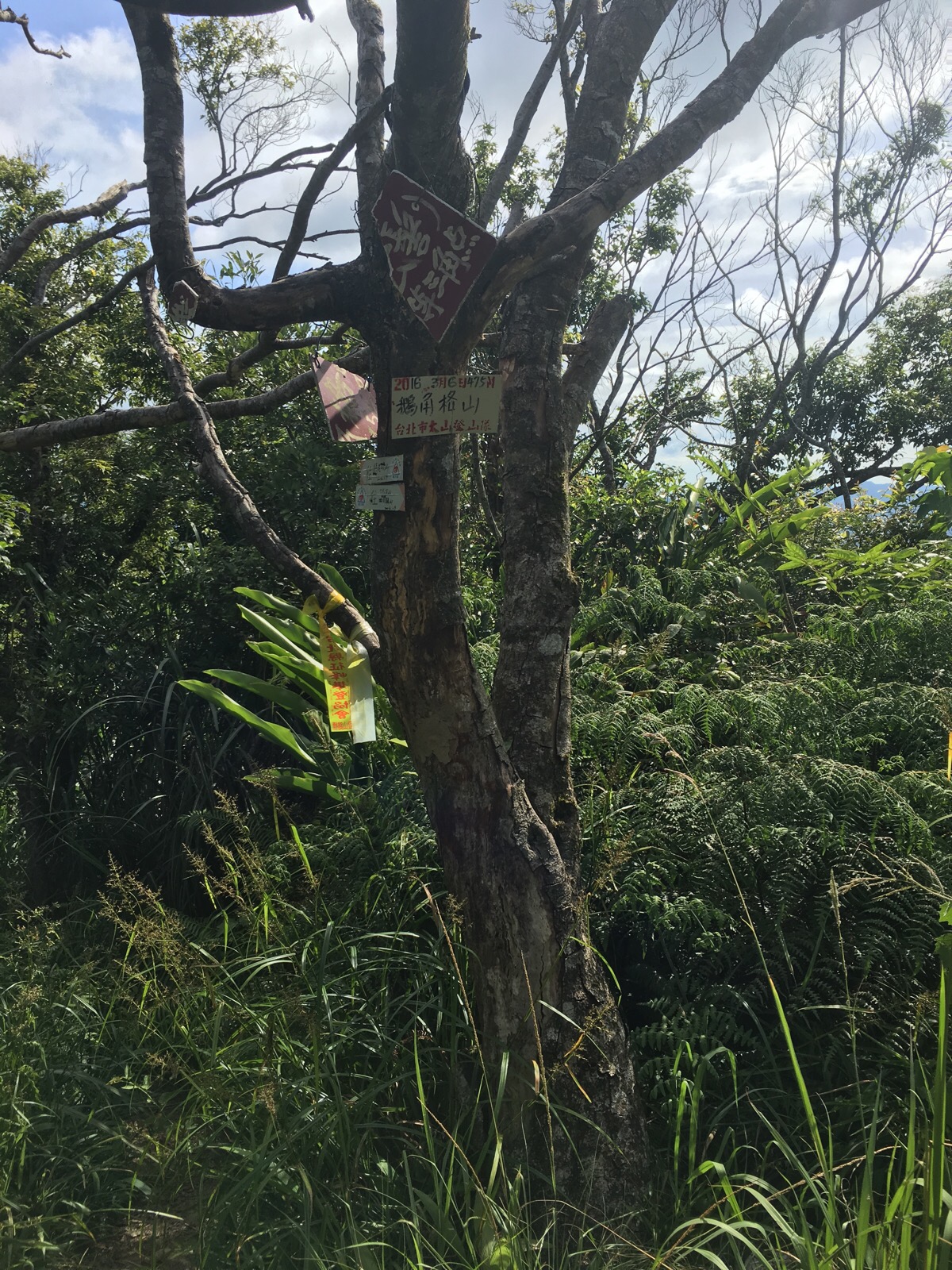
Mt. Ejiaoge peak isn’t especially worth the climb but I found the clue I needed to get the geocache and headed off down the other side of the peak. The English signs disappear up here but there’s only one way to go so you can’t go wrong.
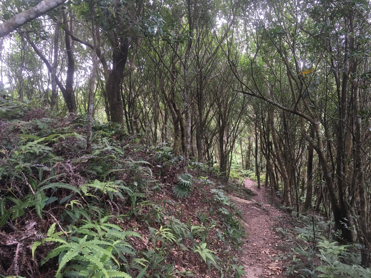
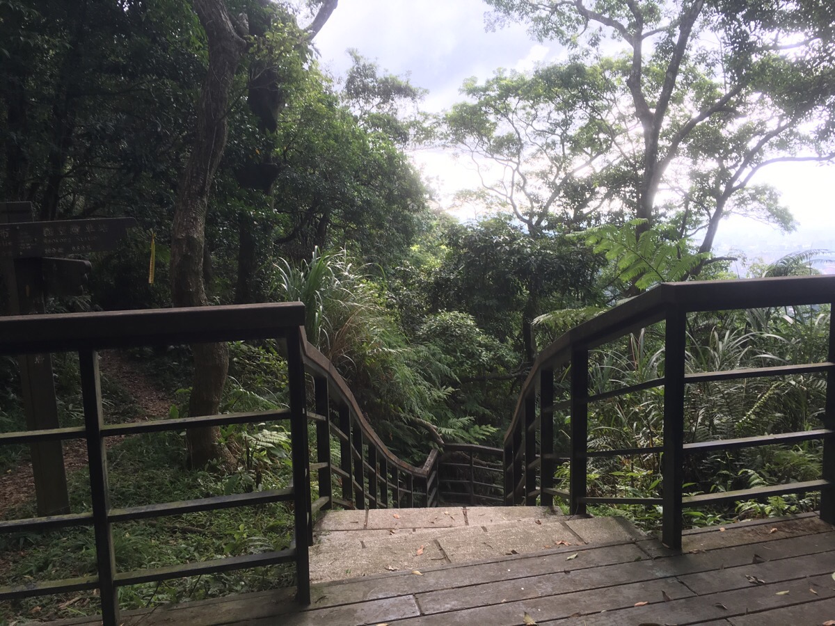
It’s about 500m from Mt. Ejiaoge to the place where the track connects with the main path and the trail is pretty fun, a narrow path on a natural surface which twists and turns through the trees.
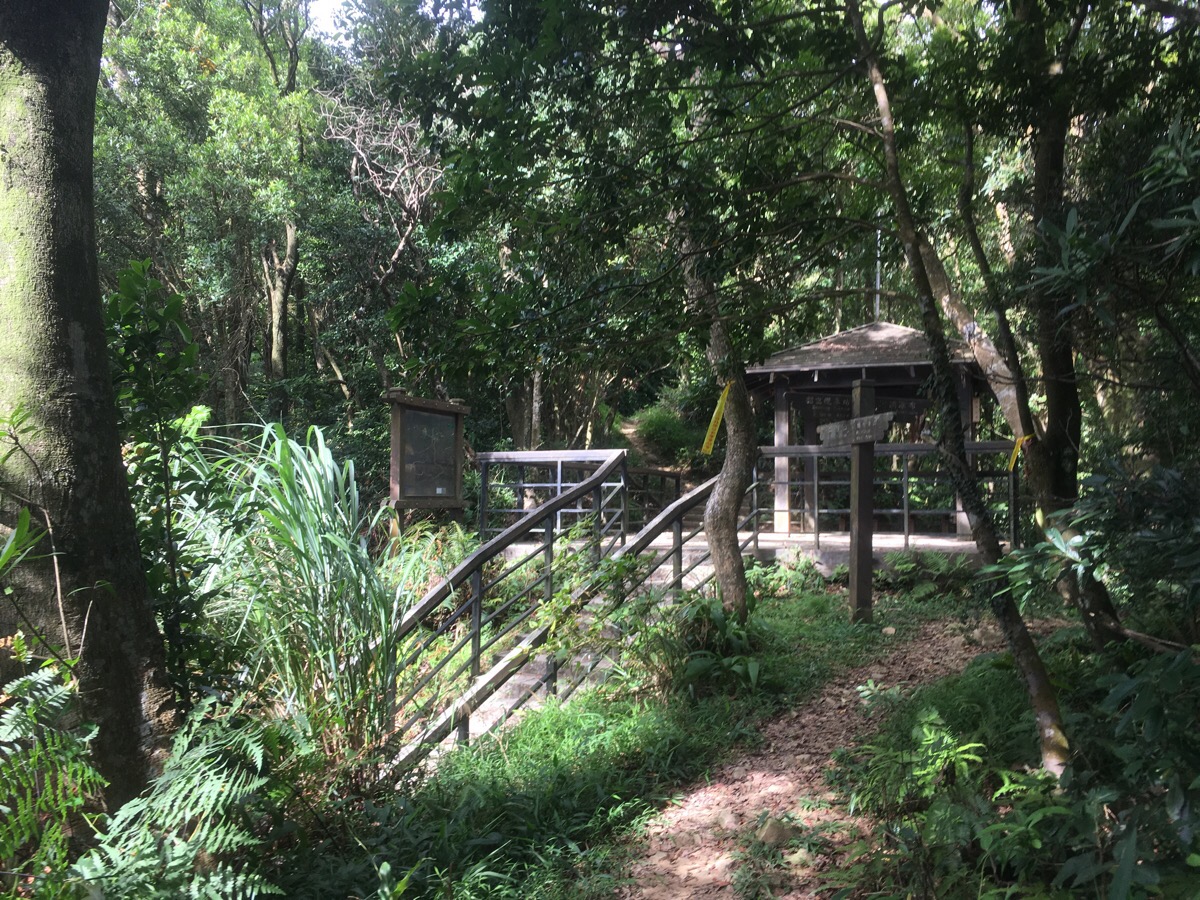
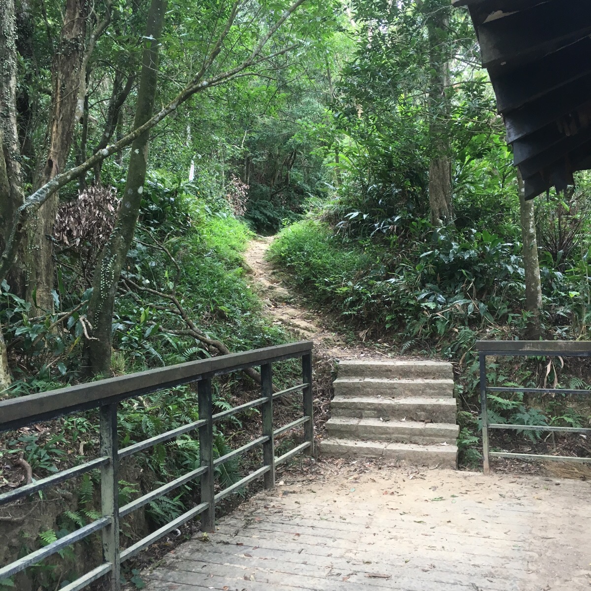
Eventually the path spits you at next to a decaying mountain shelter.
I decided to head up the short way beyond the shelter to find the geocache and what I heard was the best view of the hike.
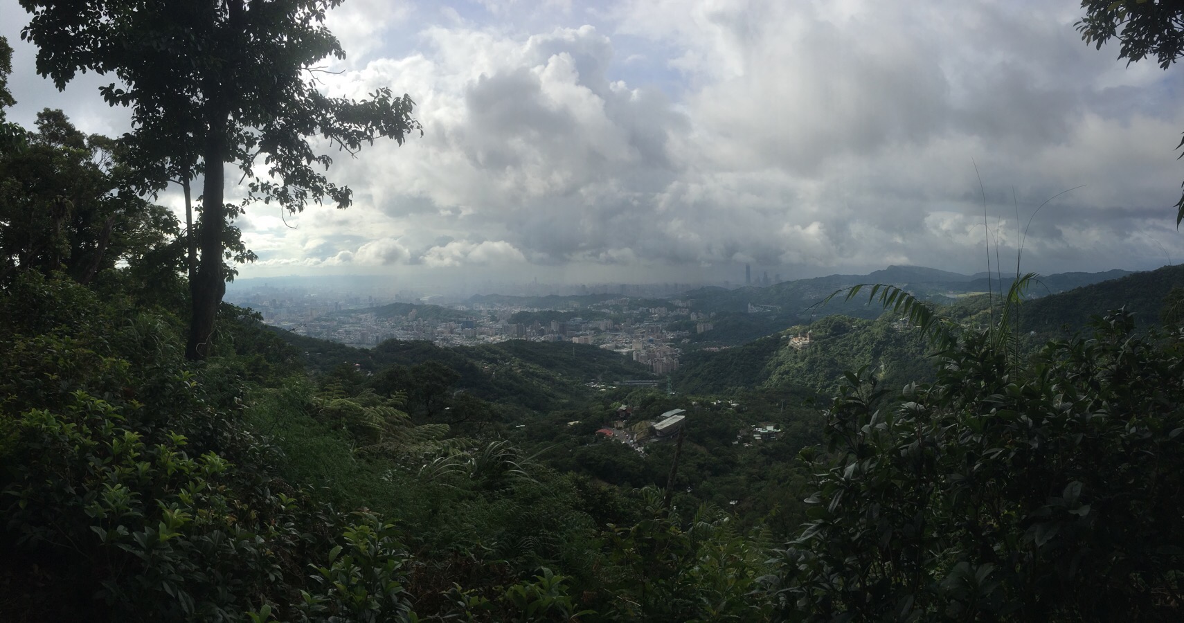
They weren’t lying – the trees open up to give you a nice look back at the city and Taipei 101 (I am thinking that I might have to change the name of this blog to something like “walks to places where you can see Taipei 101 because it really everywhere).
After finding the geocache I headed back down and followed the steps going towards Maokong.
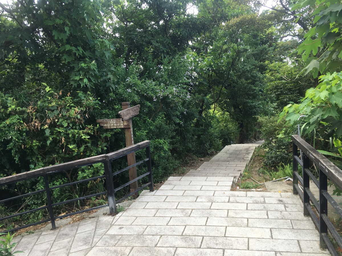
At the junction, I kept going down. *The path coming in from the left is the way that the more direct route brings you to Maokong.
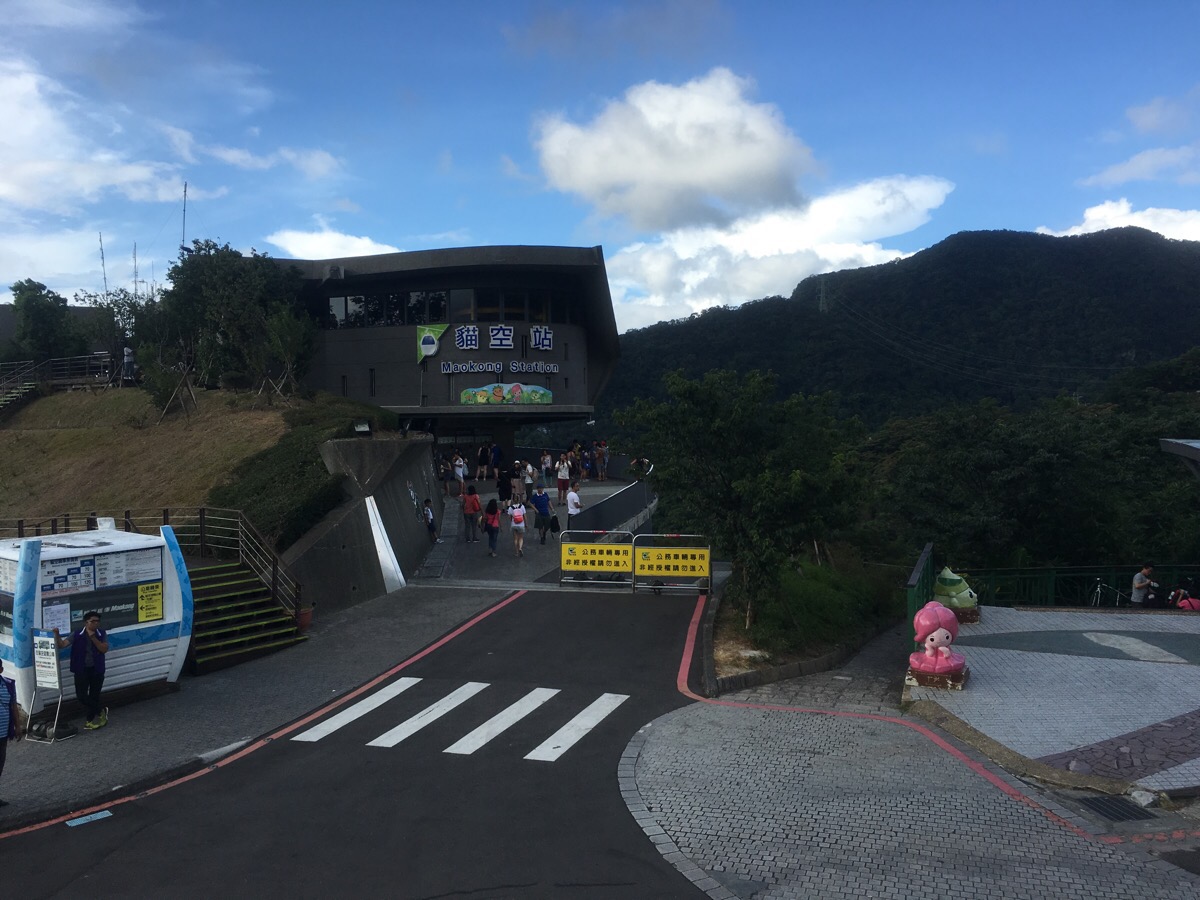
The trail terminates right in front of the gondola station and I bought an ice lolly from the 7-Eleven to eat whilst watching the cable cars head down.
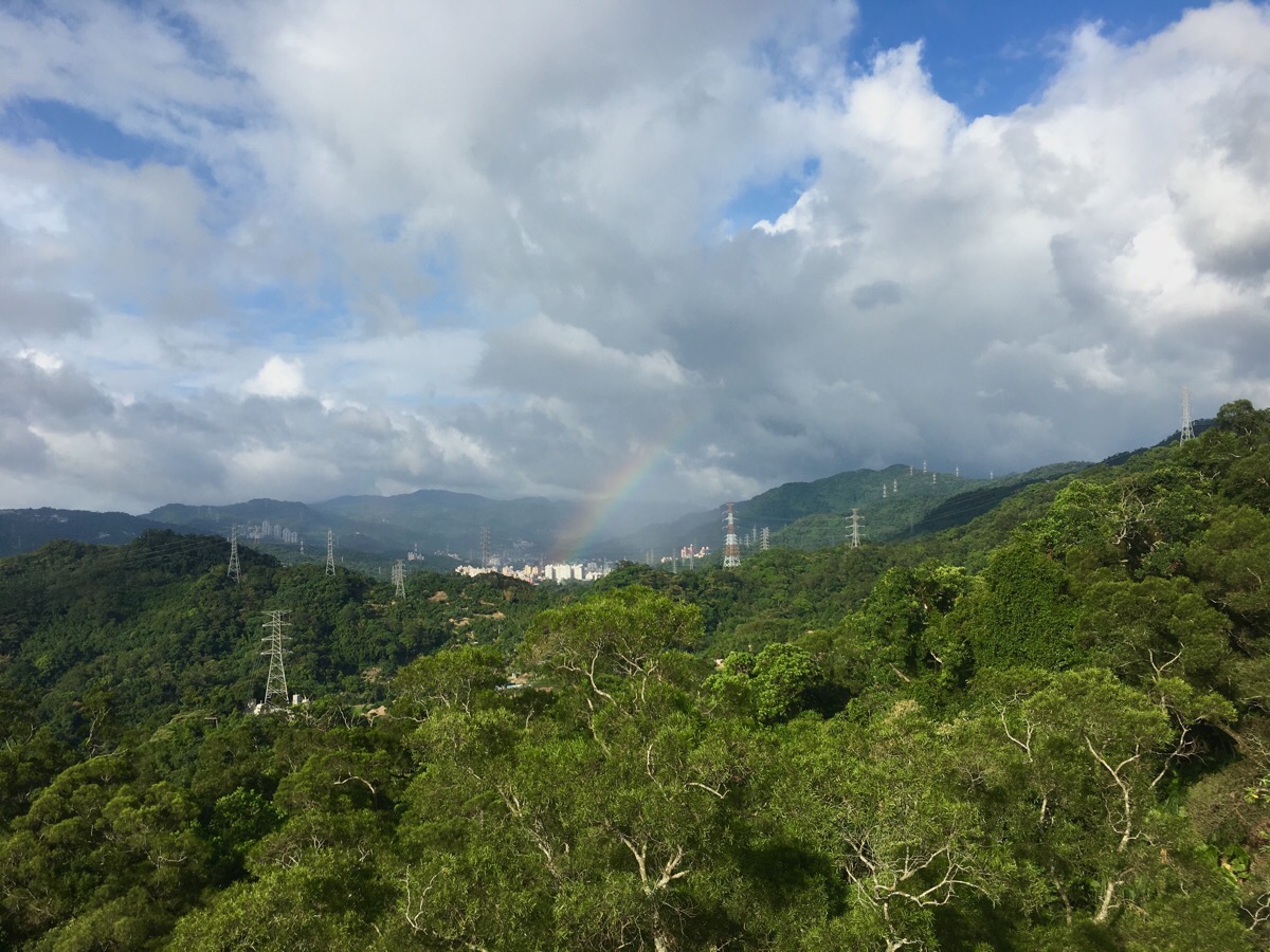
This was my first time to come to this area and my first time on the gondola, it’s $120 one way which seems pretty steep after all the cheap buses and MRT transportation, but I have to admit that I was glad I went down this way. I got put in a car all by myself! Just me up in the air over the hills. It was late afternoon by this point so the sunlight had taken on that oversaturated, warm yellow hue which looks beautiful on all the greenery and as the gondola neared the halfway point, I was treated to a lovely rainbow.
How to get to Yinhe Cave
Google maps address: Yinhe Cave Hiking Trail, 231, New Taipei City, Xindian District
GPS location: N24 57.554 E121 34.817
Public transport: to do it the way I did it you can get either the 650 or GR5 buses from right outside of Xindian Station (green line). The bus costs about $15 and takes about 15 minutes. You need to get off at Zhong Sheng Qiao Tou stop and walk about 30 minutes to the trailhead. You could also take the gondola up and then walk down – take the brown line all the way to its final stop (Taipei Zoo), then walk to the gondola station. However, I think it is more enjoyable to end with the gondola ride.
Nearby trails:
- Erge Shan via Nanbangliao Shan
- Houshanyue
- Taipei Skyline Trail – Section 1A
- Taipei Skyline Trail – Section 1B
- Xindian’s Lion’s Head Mountain
Yinhe Cave and Waterfall Map
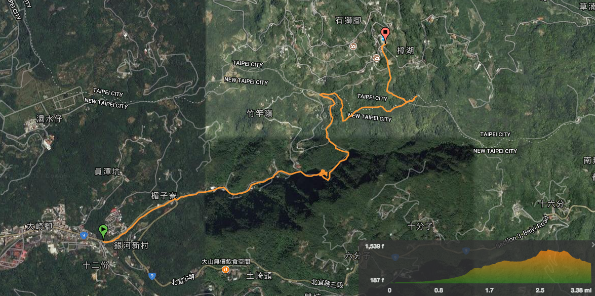
GPX file available here on Outdoor Active. (Account needed, but the free one works just fine.)
