This easy coastal stroll in Hualien combines the simple pleasures of a pebble beach, where keen-eyed visitors can pick out quartz, marble, gneiss, and serpentine among the stones, with sweeping bay views from the grassy bluffs of 48 Plateau.
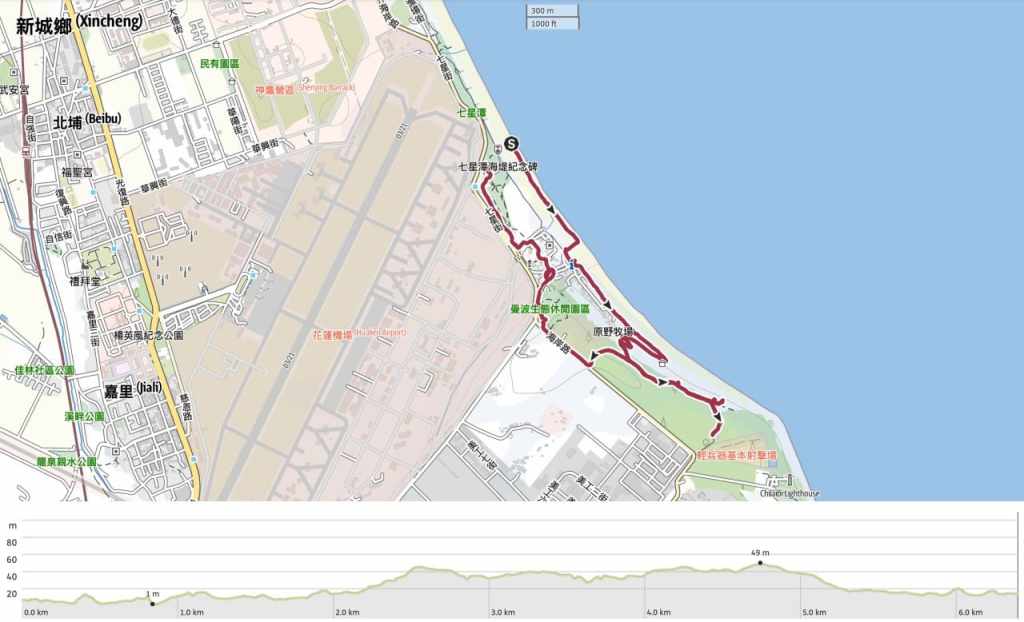
Distance: About 6km.
Time: We spent about 3½ hours here. One hour of that was spent sitting on the beach and looking at stones, and at least another half an hour was spent having snacks and ice cream. If it’s hot, you won’t want to be walking fast.
Difficulty (regular Taiwan hiker): 0.5/10 – There’s nothing difficult about this walk.
Difficulty (new Taiwan hiker): 1/10 – Only the bright sun and heat makes this walk slightly tiring.
Total ascent: Just under 50 metres.
Water: We took a small bottle each and got an ice cream from the convenience store on the way back.
Shade: Not very much shade. I had to make use of my umbrella.
Mobile network: Clear throughout.
Enjoyment: There are some very pretty views here that you can enjoy with minimal effort. It’s also lovely to spend some time relaxing on the beach.
Other: You probably don’t want to be doing this in the summer. Even in March, it was verging on uncomfortably hot.
Route type: Kind of loopy.
Permit: None needed.
Jump to the bottom of this post for a trail map and GPX file.
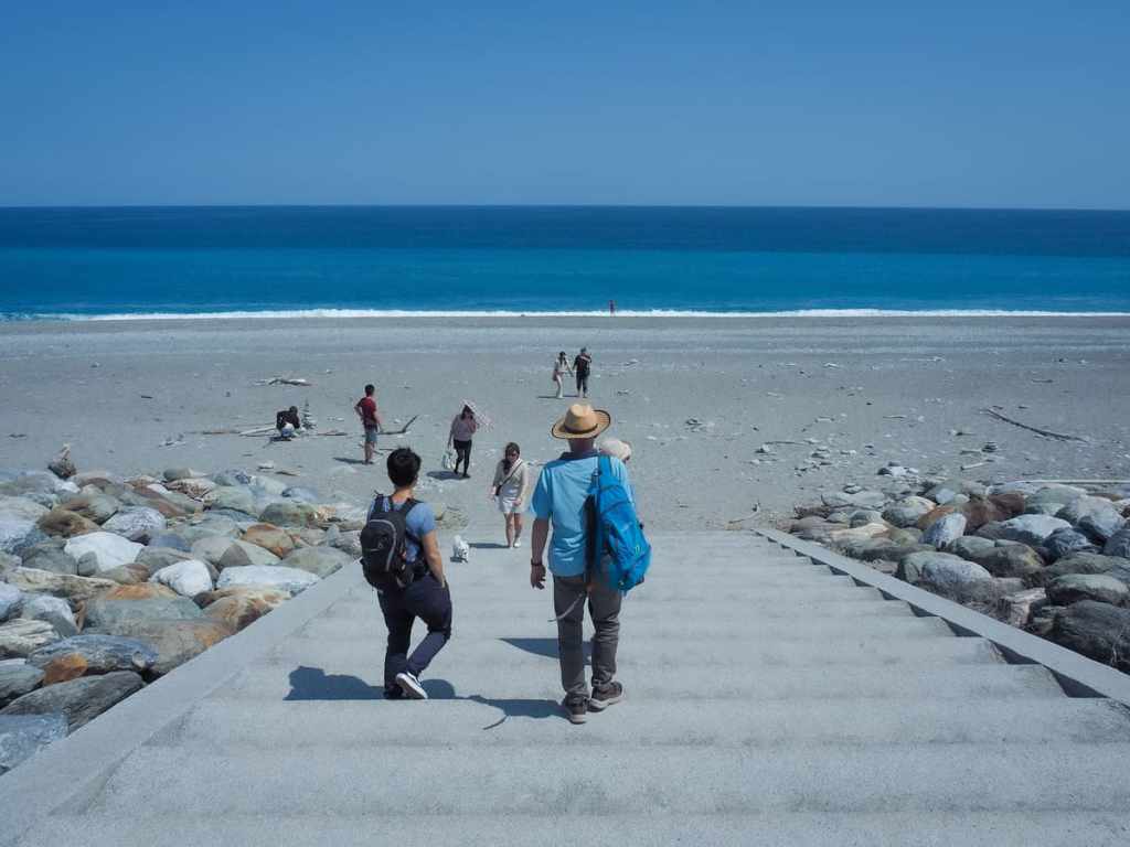
We parked in the main carpark for Qixingtan Scenic Area and made our way past stalls selling unfairly enticing sausages to the steps which take you down onto the beach.
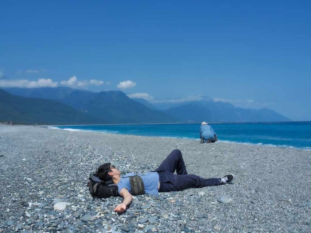
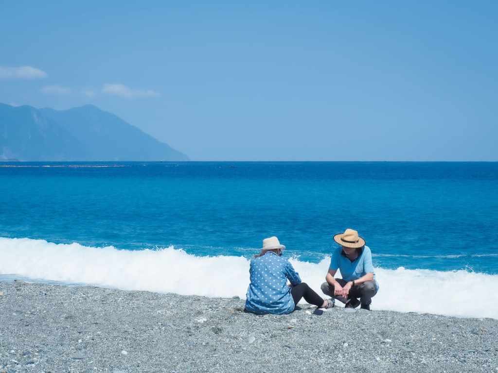
Very quickly, Teresa and mum made themselves at home doing what the pair of them do best (which is napping in Teresa’s case, and fiddling with things in mum’s).

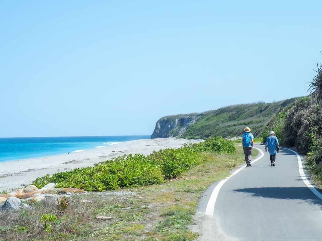
The vivid blue and calming murmuring of the shingle being raked down the shore by the waves was exceedingly calming, and the weight of the sea-smoothed, sun-warmed pebbles in my hand was satisfying.
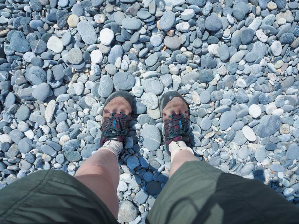
The beach is almost entirely formed of smoothed pebbles. When dry, the overall colour seems to be mostly light grey, but if you look closely, there are many different types of stone. You can find quartz (white and a little sparkly), white marble (also white, but softer than quartz, so if you scratch a marble pebble with a quartz one, only the marble will be marked), chert (these are the plain grey rocks or those with white veins of quartz in them), granite (speckly), gneiss (many fine light and dark grey stripes), and serpentine (greenish). We enjoyed picking up and admiring many of them. My mum even took several photos of some she thought were particularly interesting (there’s a pretty hefty fine for removing stones from the beach).
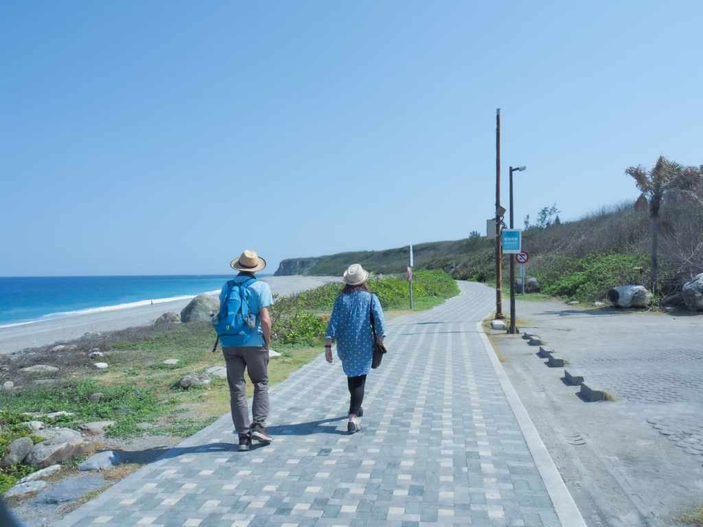
After spending almost an hour on the beach, we set off south along the waterfront to wander along the trails leading to 48 Plateau.

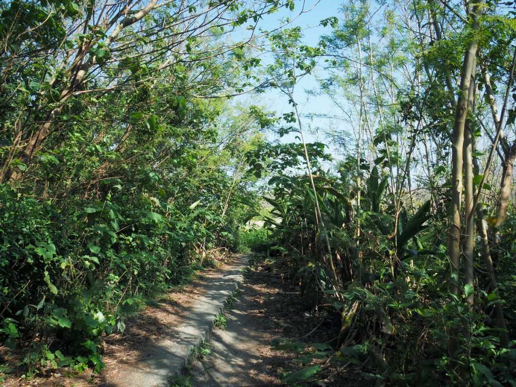
I think this was built to be a cycle path because much of it is beautifully flat and smooth. We paused at a shelter part-way up to enjoy the shade and have a snack.
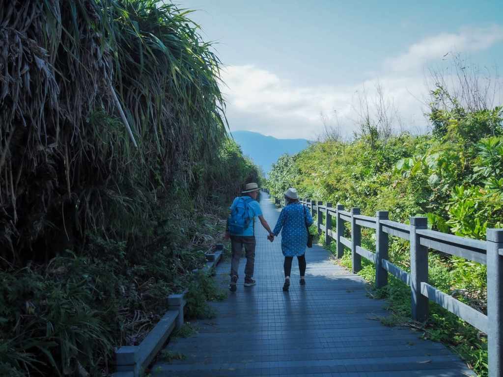
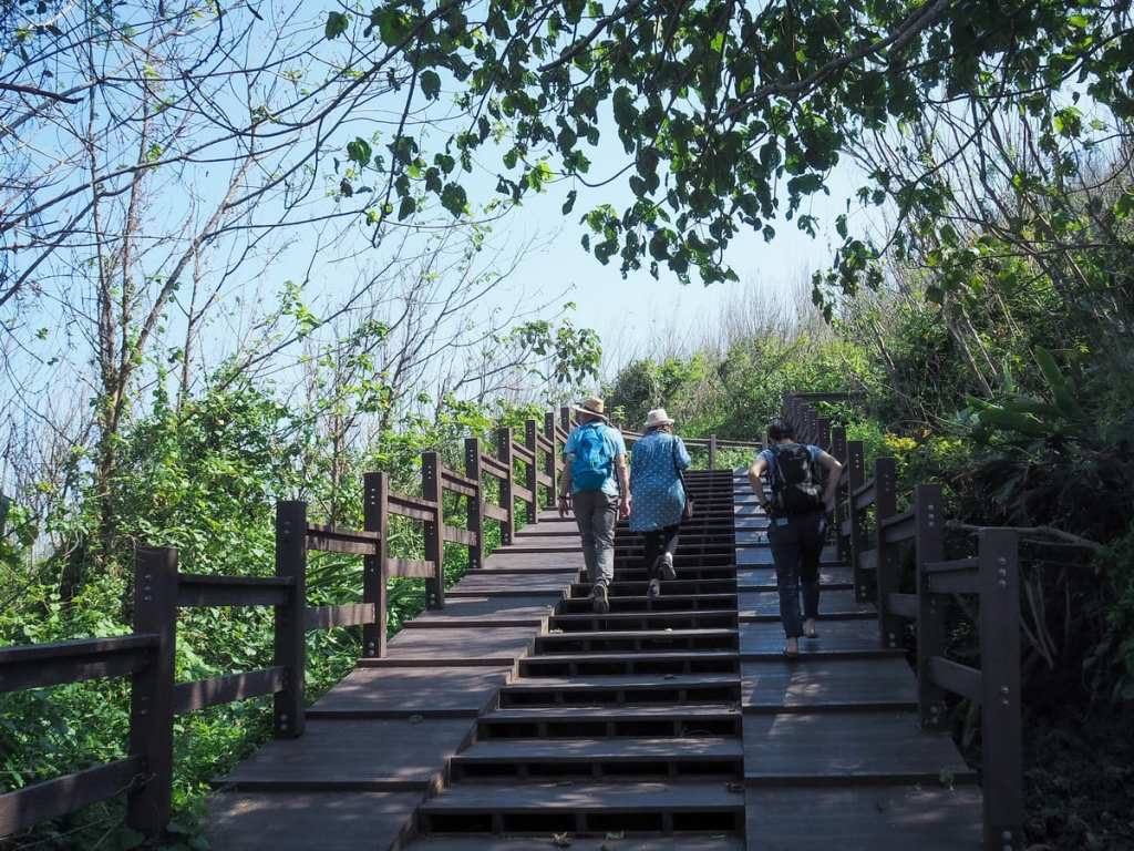
The path has a couple of gentle switchbacks and climbs a few steps. Where there are steps, there are also ramps for pushing bikes up/down (although I’m not sure how easy they are to use because someone with a pushchair had abandoned it at the top of the steps and decided to carry their kid down).
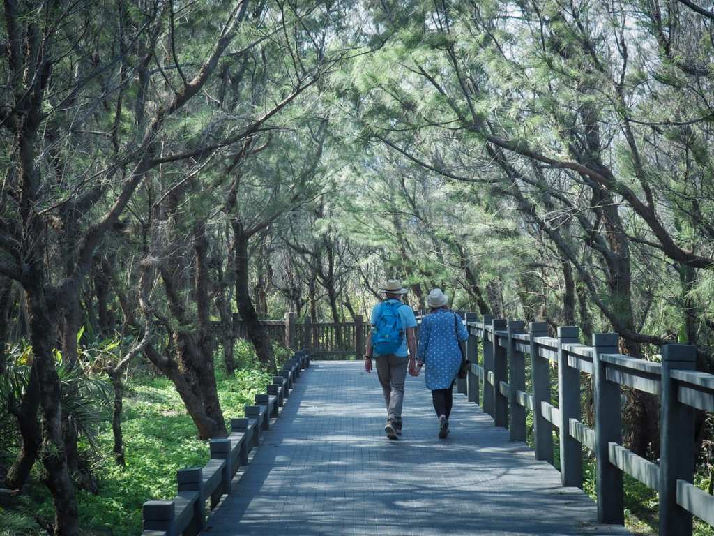
This was the only shady part of the walk. I don’t know what these feathery trees are, but they’re pretty.
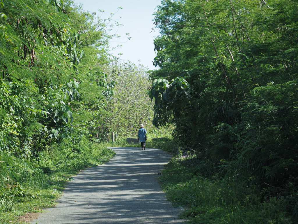
Once the trail levelled out again, the view was mostly obscured by trees.
Although in one spot, there’s a short side trail which leads through them to this spot overlooking the ocean. I went to have a look by myself, and when I stepped back onto the trail, Teresa (who had been hiding in the bushes) jumped out at me. I screamed (of course), but she also managed to startle a pair of cycling foreigners.
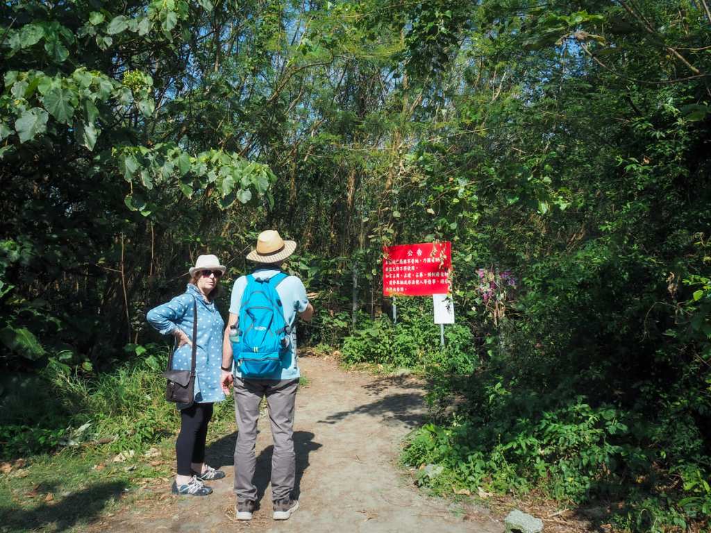
Look out for a warning sign just to the left of the path. (This is informing people that there is a firing range a little further away.) The trail cuts around the edge of the fence and heads through the undergrowth and out onto a patch of grass.

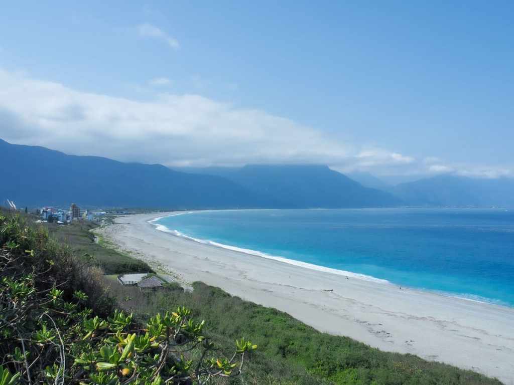
This is a spot that has become popular among Instagrammers for its sweeping views of the bay and mildly dramatic cliffs.

It is undoubtedly very beautiful, but the sound of soldiers lobbing grenades around just beyond some bushes is somewhat disconcerting.
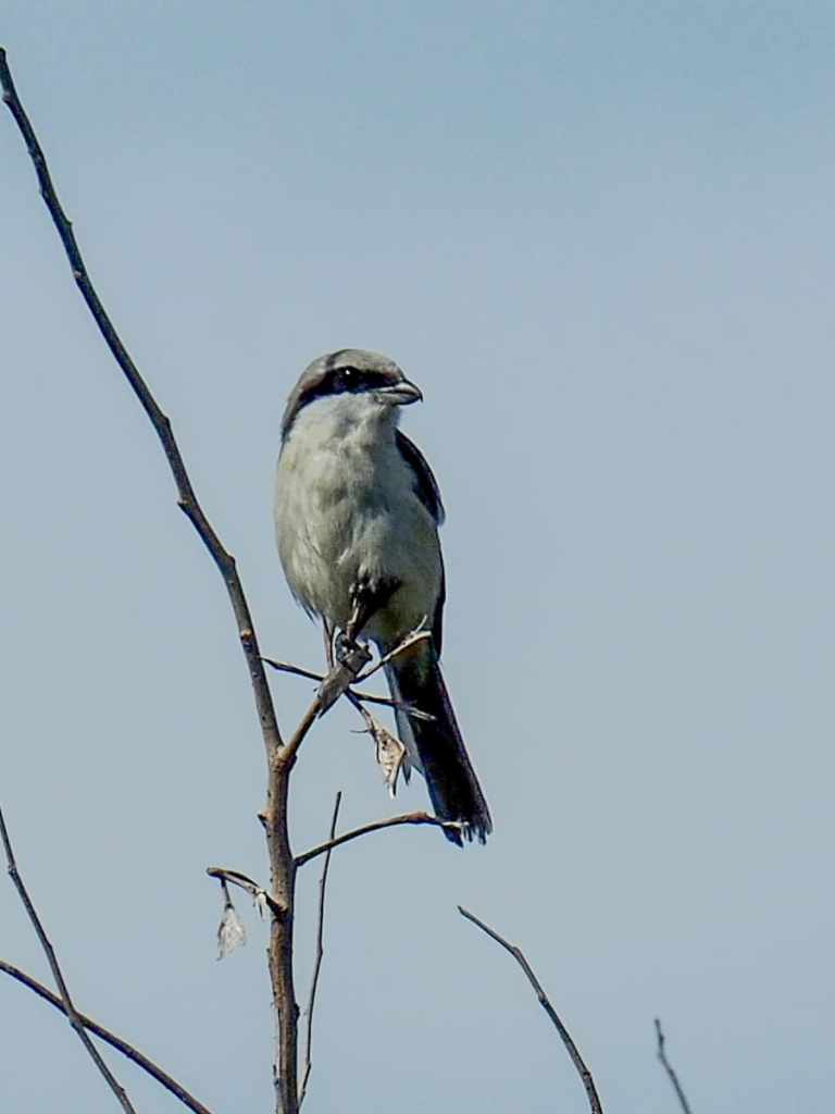
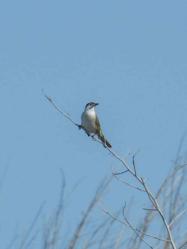
There was quite a lot of bird life in the undergrowth beside the trail. We saw prinias and thrushes, but neither of those were as obliging as this shrike and Styan’s bulbul.
From the grass area, we turned back and started to retrace our steps before turning off the path to take an overgrown track heading towards the road.

The track morphed into a grassy trail and I was glad my parents had both worn long trousers — Taiwanese mosquitos and bitey things seem to have a particular thirst for fresh foreign blood.
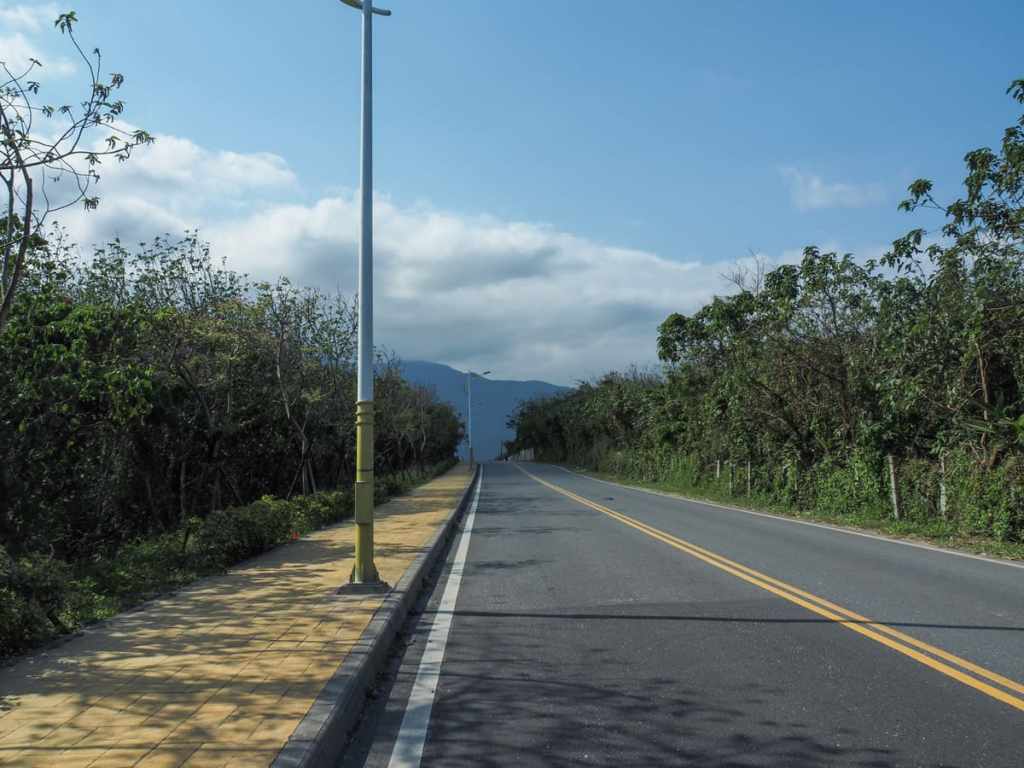

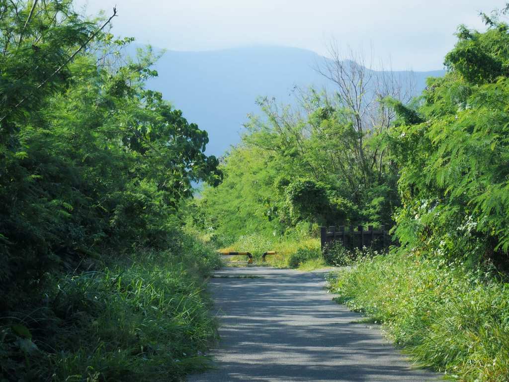
Reaching Hai’an Road, we turned right to make our way back to where we’d started. Along the way, we passed the entrance to the 48 Plateau’s tunnel network (we couldn’t go in because it was closed on the day we visited).

Heading through the collection of buildings near the beach, we popped into a convenience store to enjoy the air conditioning and some ice cream before making our way back to the car.

How to get to Qixingtan Beach
Google Maps address: If you’re driving or riding, you can park in the main carpark for Qixingtan Scenic Area.
GPS location: N24 01.850 E121 37.580
Public transport: The 310 Taiwan Tourist Shuttle runs from Hualien Bus Station to Qixingtan Beach stop once or twice an hour.
Nearby trails:
- Mount Meilun
- Sakual Waterfall Trail
Qixingtan Map
GPX file available here on Outdoor Active. (Account needed, but the free one works just fine.)
