The network of trails around Battleship Rock have plenty to keep a hiker happily occupied for a few hours, and it’s somewhere I’ve visited numerous times. On this occasion, the plan was to follow the route outlined in the Hiking Notes application’s list of Taiwan’s 100 best hiking trails, so I hopped off the MRT at Qilian Station and made my way through the grounds of National Yang Ming Chiao Tung University to the trailhead.
DISTANCE: A little over 6 kilometres if you include the walking to and from MRT stations.
TIME: 2-3 hours depending on how fast or slow you’re going.
TOTAL ASCENT: About 220 metres.
DIFFICULTY (REGULAR TAIWAN HIKERS): 2-3/10 – This should be a fun but easy workout for those used to hiking in Taiwan.
DIFFICULTY (NEW HIKERS): 4/10 – The maze of paths and occasionally loose sandstone-dust trails put this on the tougher end of easy for those new to hiking in Taiwan.
SIGNAGE: There is bilingual signage at every junction, but the signs all point to landmarks rather than indicate the direction of any specific trail, so it’s only helpful if you’re familiar enough with the area to know which each landmark named is.
FOOD AND WATER: 0.5L was ample on a cool day.
SHADE: There is patchy cover on this it s trail. I was ok in winter, but would have needed protection on a sunny day.
MOBILE NETWORK: Mostly OK, but the signal disappeared for a while in the middle of this walk.
ENJOYMENT: This walk has a little bit of everything (that you could hope to get from a city hike). There are city views, quieter trails than places like Elephant Mountain, some dirt paths (as opposed to all concrete steps), and a dash of temple culture thrown in too. If I’m being entirely honest, I prefer the route covered here, but if you’re into doing the whole Hiking Notes sticker collecting thing, then this is the route to follow.
SOLO HIKE-ABILITY: This should be absolutely fine for a solo hiker so long as you have a map to follow.
ROUTE TYPE: Point to point.
PERMIT: None needed.
Jump to the bottom of this post for a trail map and GPX file.
DIRECTIONS:
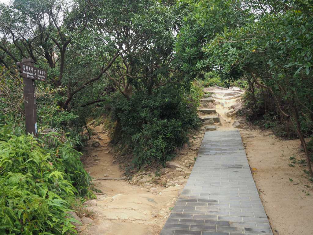
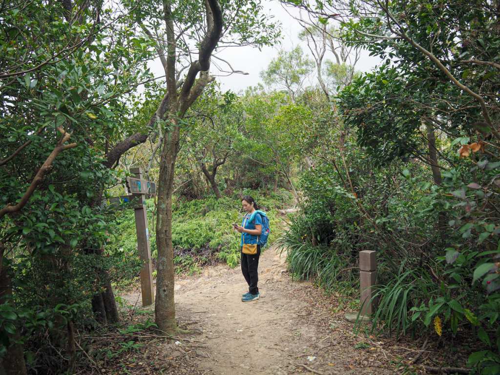
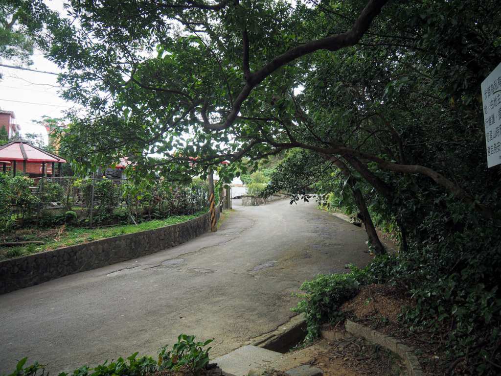
There are several routes you could take to get to arrive at the trailhead. In the past, I’ve walked from Shipai through the grounds of Taipei Veterans’ General Hospital, but this time I came from Qilian and walked up through National Yang Ming Chiao Tung University until I reached the start of the steps.
The first climb (and the final descent of the walk) are pretty much the only sections of concrete steps.
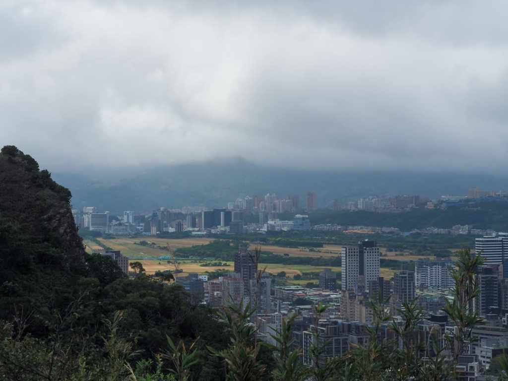
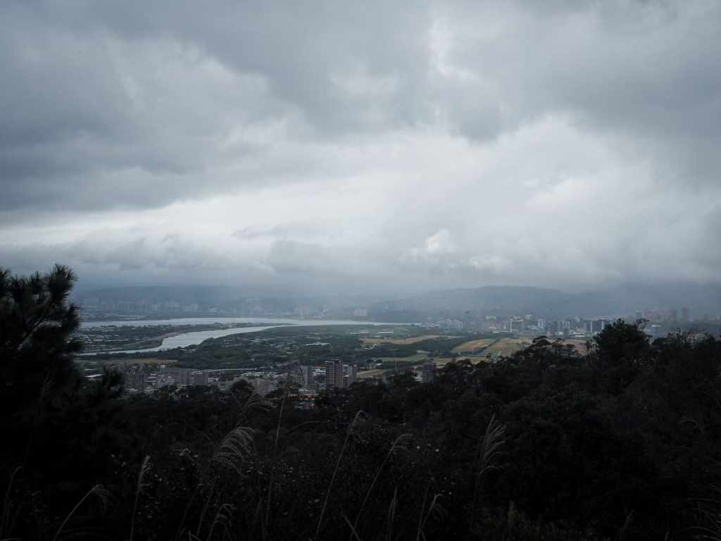
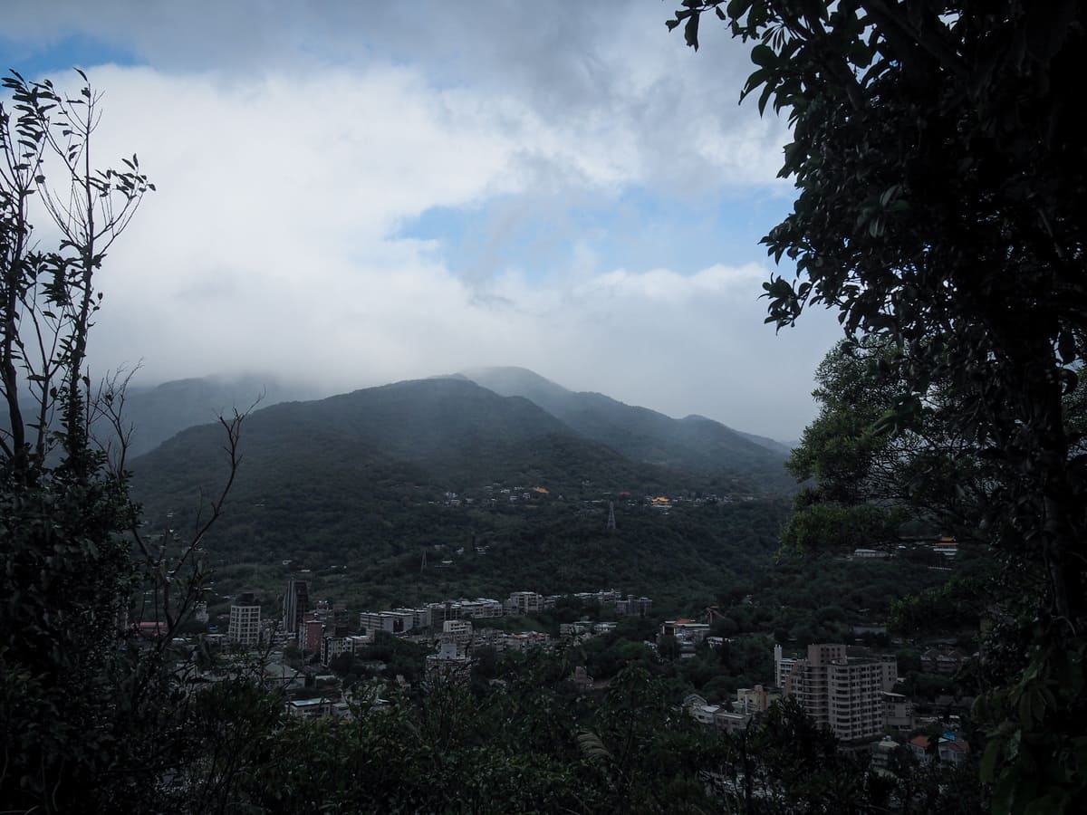
As you climb, look out for the rocky ridge trail on the left that joins from Mount Qiyan. Just to the right of the peak, you can glimpse the flat, spread of Guandu Plain sandwiched between two rows of high rises, and to the right of that, there is a whole village’s worth of dilapidated hillside villas.
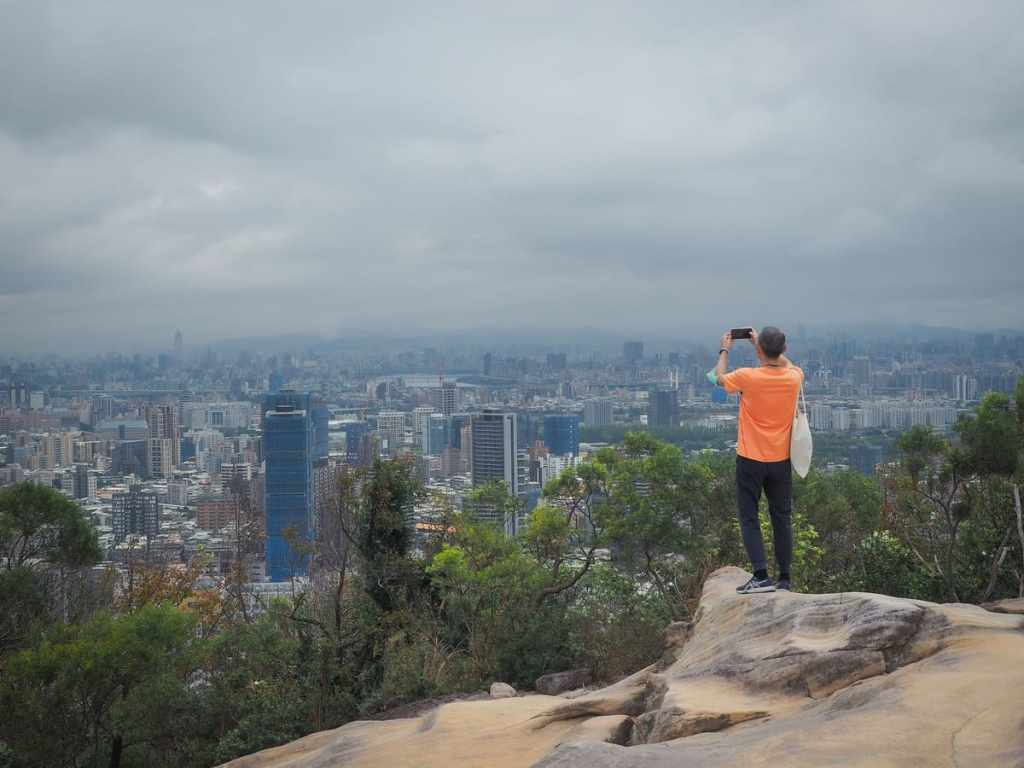
After about 20 minutes, the trail reaches Battleship Rock. In actual fact, the trail diverts to the left before you reach the rock, but it’s worth climbing to the top for the 360° views of Taipei.
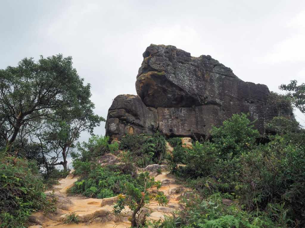
Once you’ve enjoyed your city scenery, head back down to join the path leading northish. If you pause to turn around and look back, you might be able to see where the battleship name comes from — seen from this angle, it almost looks like the prow of a mighty warship.
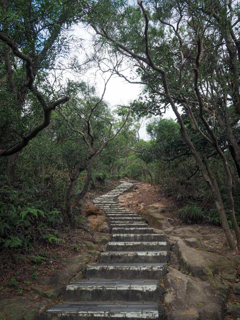
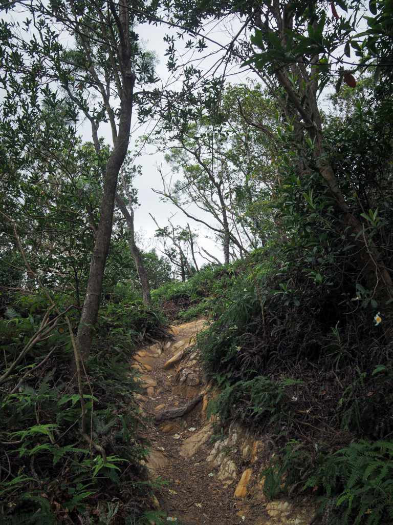
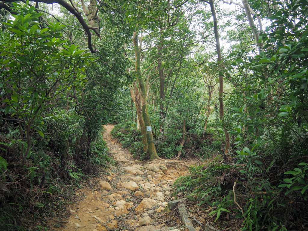
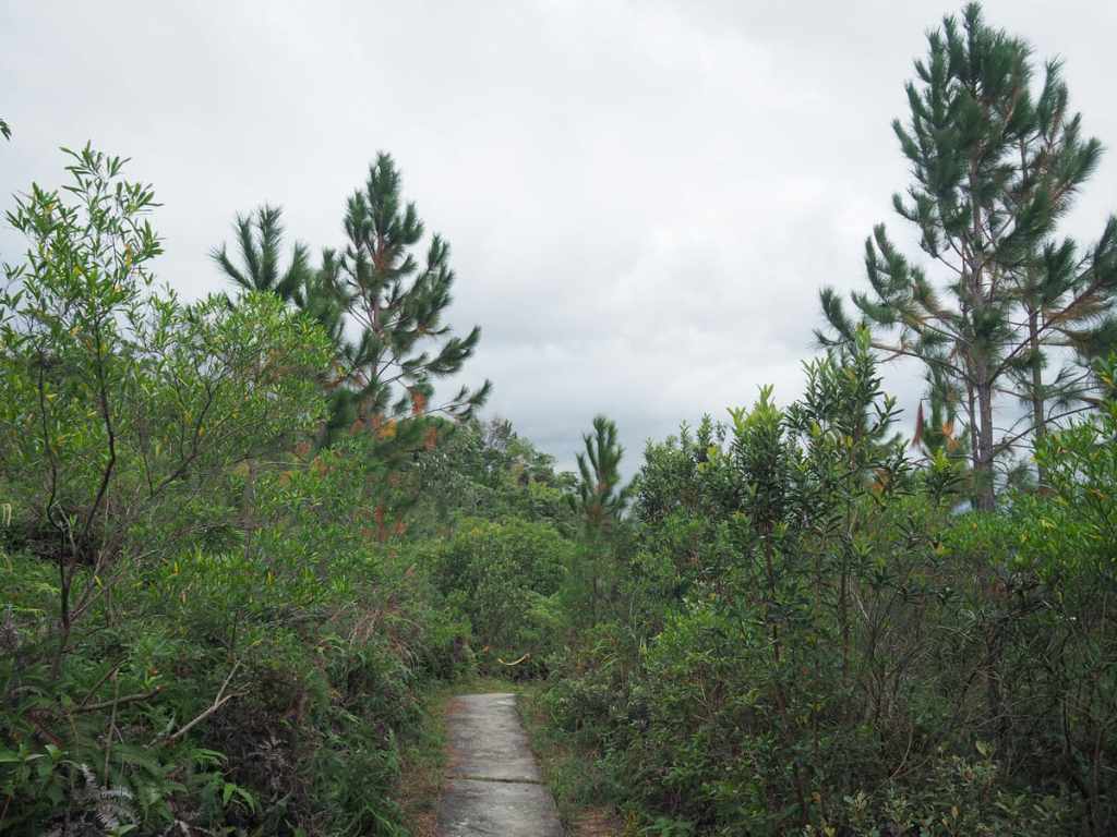
From this point on, there are lots of paths branching off. For the most part (as is the case in the two photos above), just keep heading straight.
This spot doesn’t look much like a junction, but the path forks left and right here. The route I was following takes a sharp left to head downhill, but I headed right first to visit a small peak.
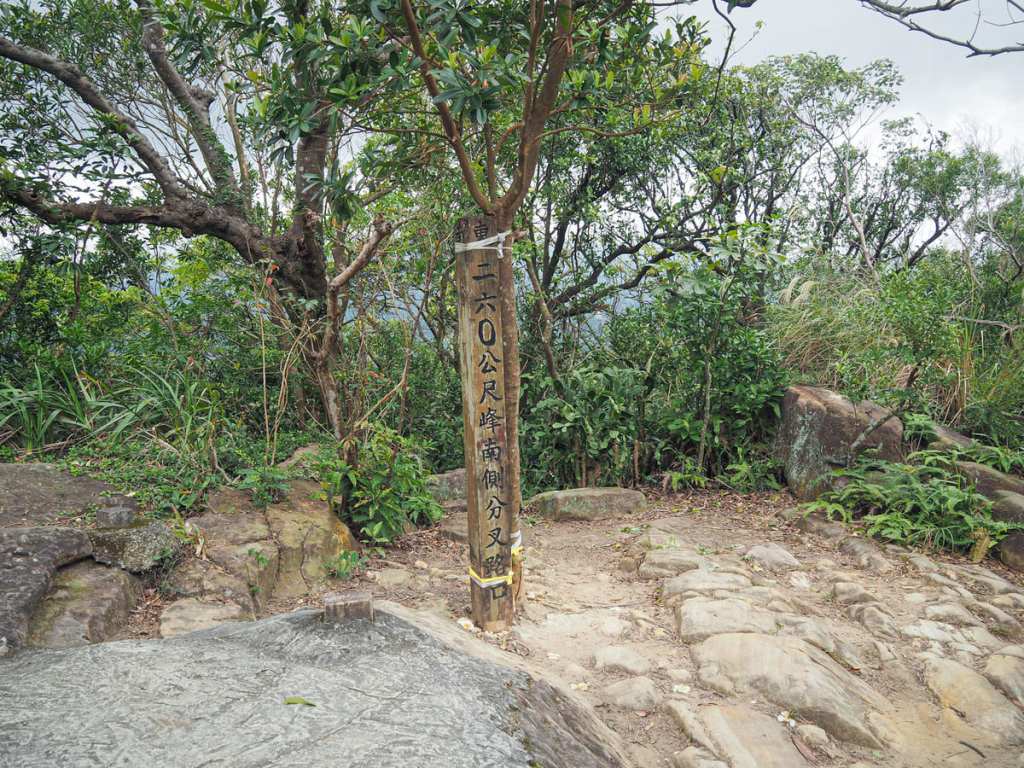
The peak doesn’t appear to have any name save for the rather dull 260M Peak.
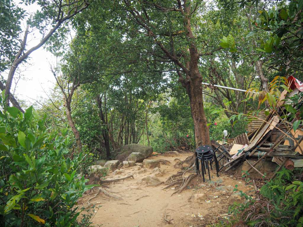
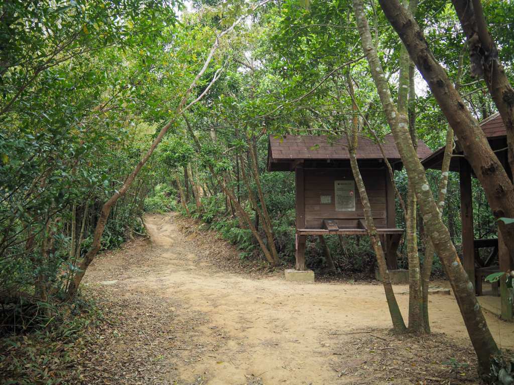
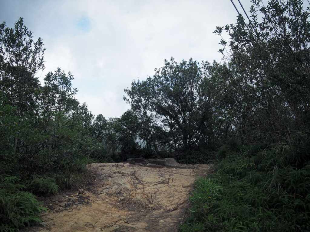
Before long, the trail arrives at a collapsed shelter. I wonder if this was demolished by the typhoon earlier this year because it certainly not like this the last time I passed through. Take a left here and start down what looks to be little more than an animal track with views overlooking the spot where Keelung and Tamsui Rivers meet.
The rougher section is mercifully short — no more than a couple of hundred metres — and then you’re very quickly back on one of the main trails. Take a right here. (Left would soon take you back to just below Battleship Rock.)
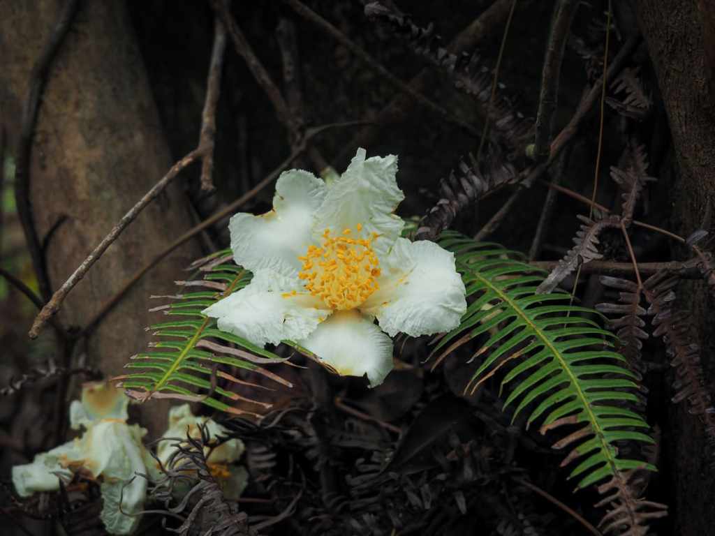
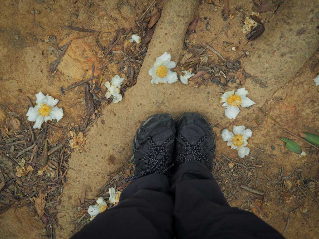
In December, the fried egg plants (Polyspora axillaris) were dropping their flowers all over the trail.
The trail bends sharply round to the right and follows a badly eroded track down to emerge in front of Zhaoming Temple. Turn right here and dive straight down another path. From here, you’ll be following signs to Mount Danfeng (丹鳳山).
There are a couple of trails leading off to either side, but ignore those until you get to this T-junction then turn left.
Almost as soon as I turned, I was hit with a sulphuric waft that told me straight away that I was in Beitou. Glancing to the right, faint wisps of steam gave away the location of Beitou’s Thermal Valley, and immediately behind that, I spotted the strange, cylindrical form of Lingxiao Apartment Building.
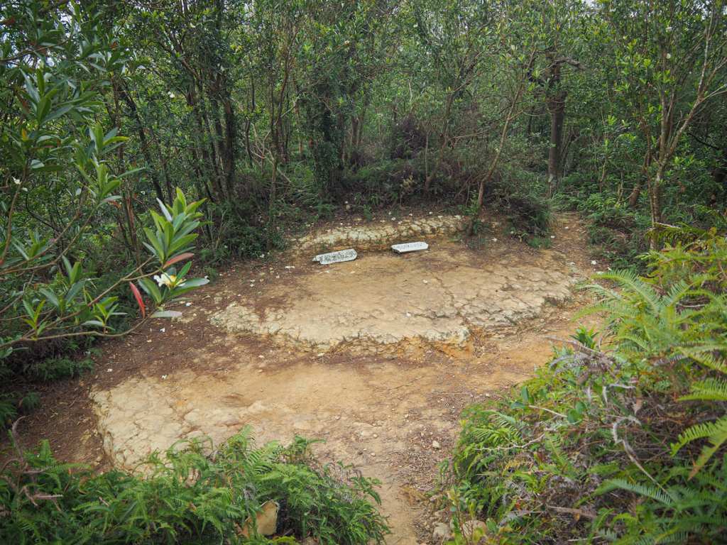
Keep your eyes open for an unmarked turn-off on the right. This is where the trail diverts to visit Phoenix Mountain (also called Danfeng Mountain )and Kobo Daishi Shrine (l波切不動明王尊). Later you’ll need to return to this point and continue down the steps.
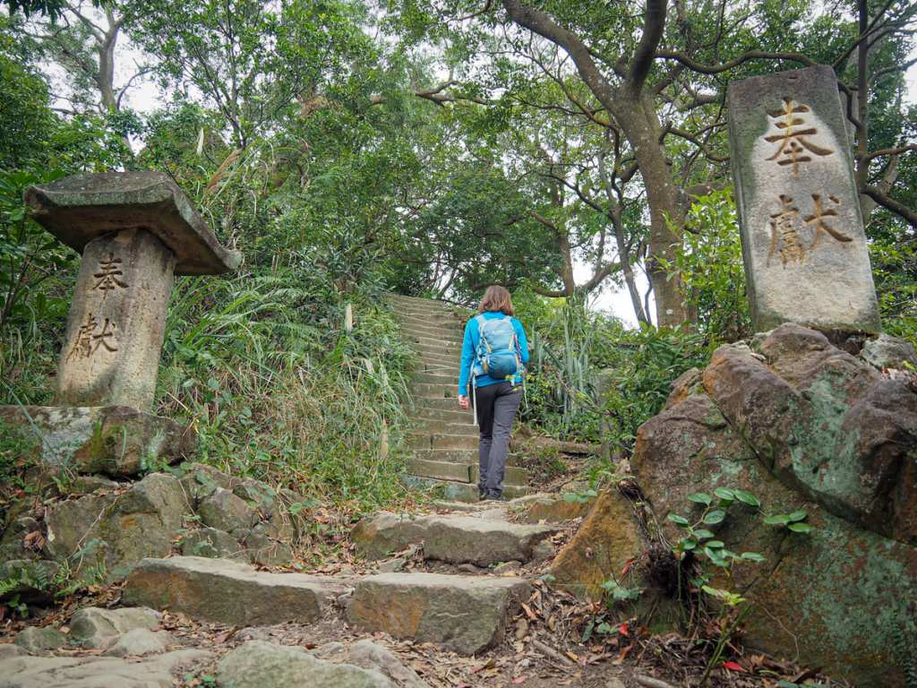
The shrine is located a short 20-30 metres off the main trail and the triangulation stone for Mount Danfeng is hidden in the trees and rocks just above the shrine. The clearing is small and many of the stone tablets are damaged, but the overall feeling is peaceful and pleasant.
Kobo Daishi was a monk and a very important figure in Japanese Buddhism, and Beitou’s thermal springs meant the region was popular with the Japanese authorities during the period of colonial rule, so perhaps it’s not so surprising that this shrine exists here.
Stone pillars flank the steps leading to the shrine — one of them missing its top, and somewhere in the clearing there is a stone tablet engraved with “台湾よ、永に幸なれ” — “May Taiwan be forever happy.”
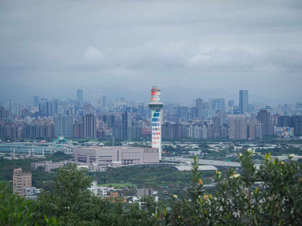
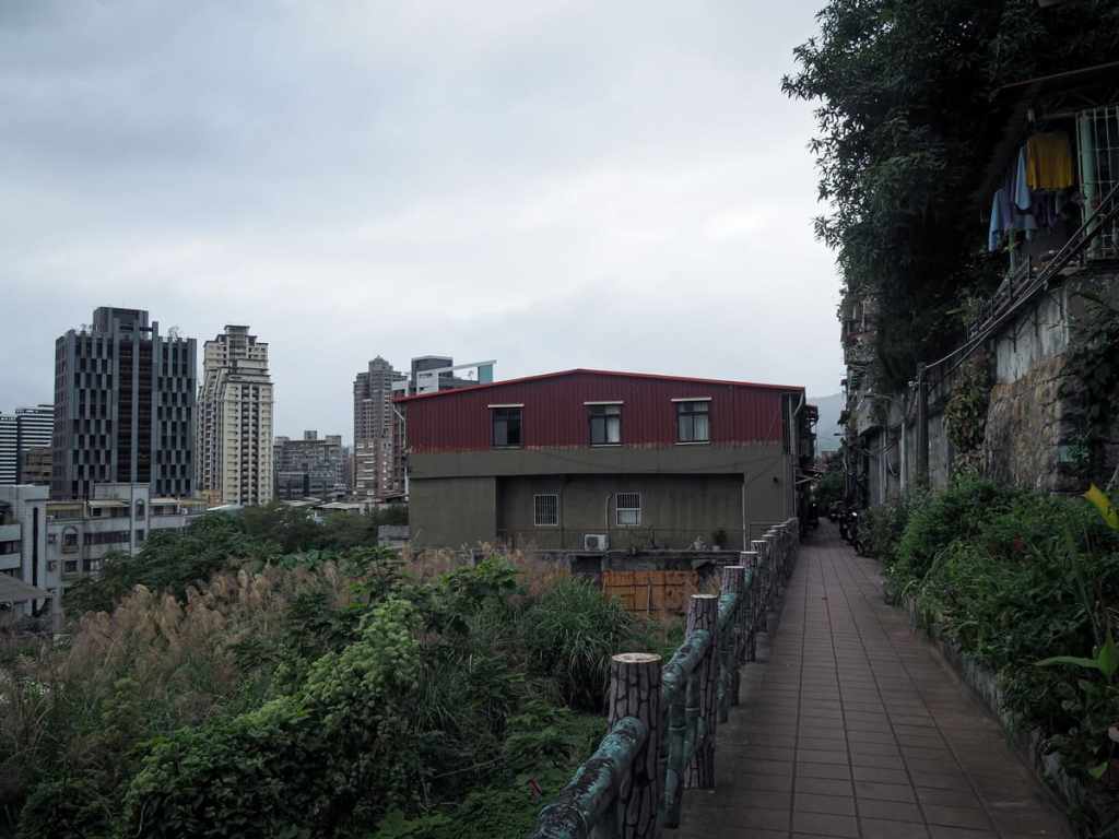
Heading back to the main trail, I continued my descent back into civilisation. Right, the rainbow tower of Beitou Refuse Incineration Plant Observation Deck.
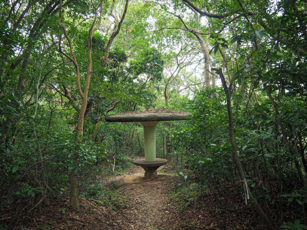
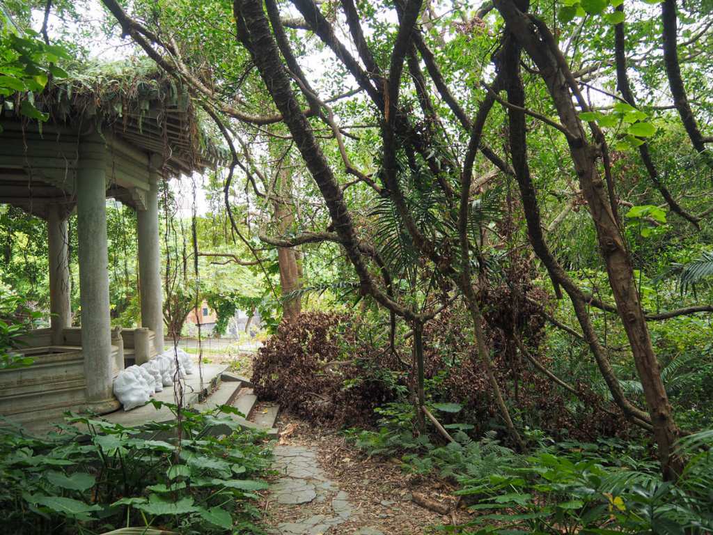
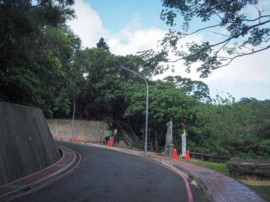
As the trail nears the road, I found myself passing through a strange area full of falling-down park structures. The trail just seems to peter out at this point and you have to kind of fight through to the road.
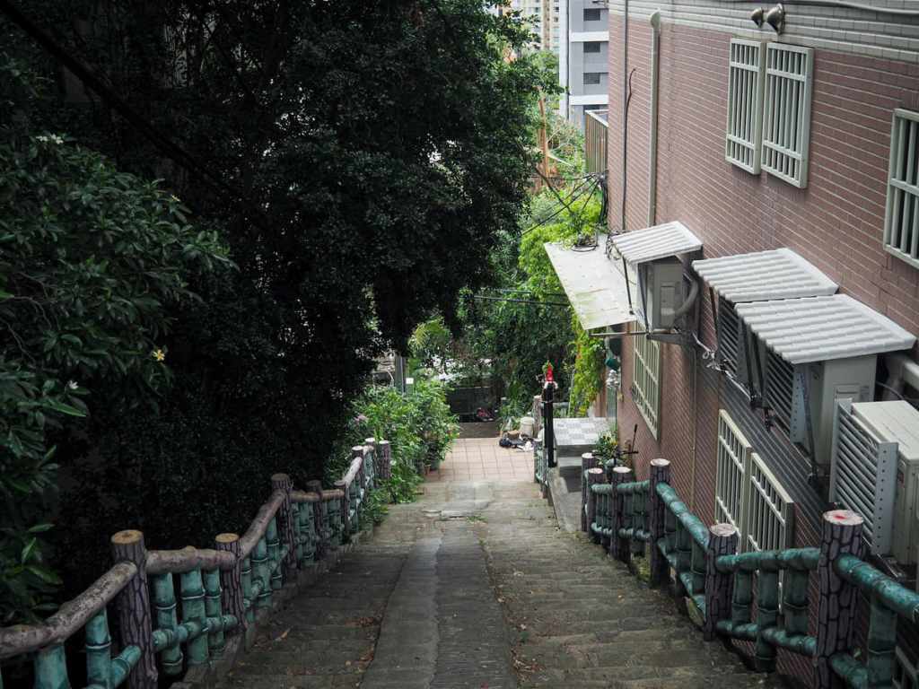
From the trailhead, I cut down a flight of steps heading down between buildings before turning right to cut across between two rows — the entryways to some of these houses are so cramped and narrow!
At the far end of the row, the path veers left and continues down more steps, passing twin land god and wandering spirit shrines as it goes.
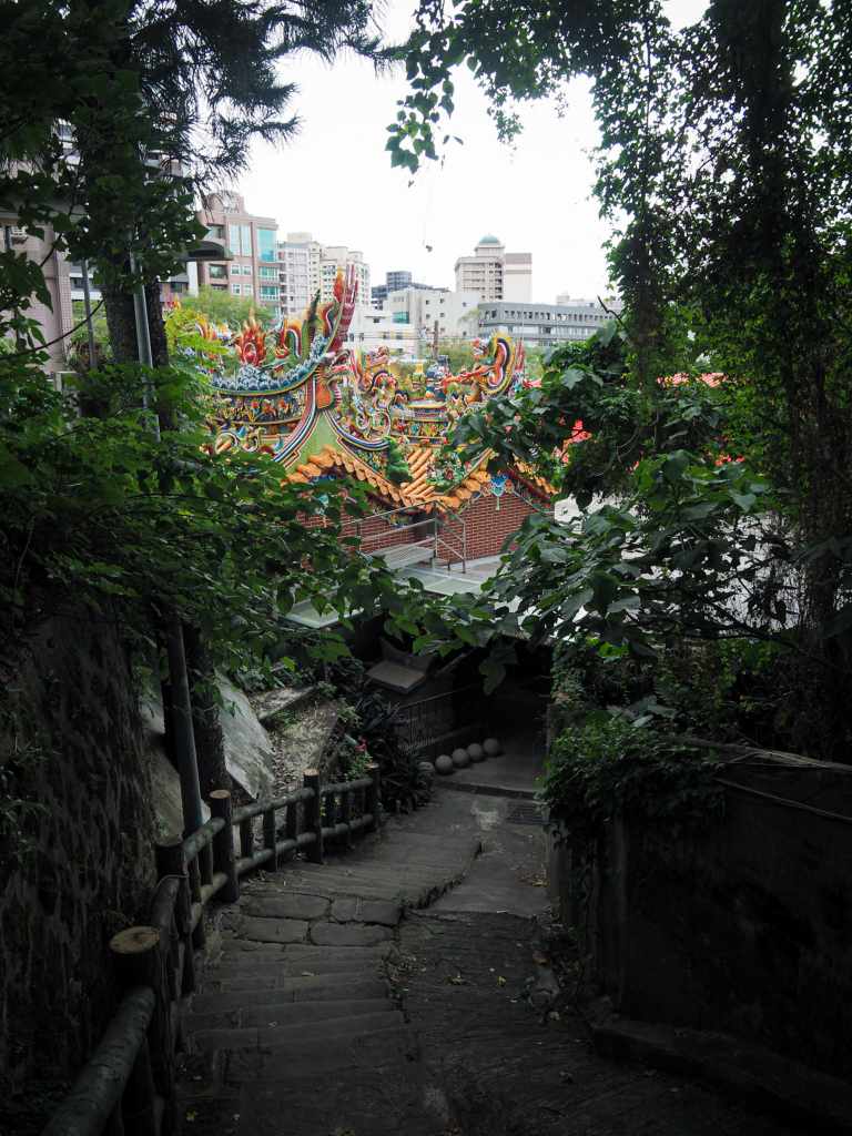
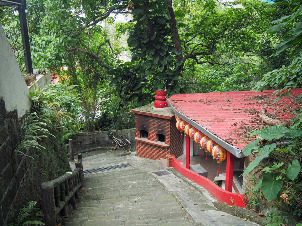
You’ll know you’re nearly there when you spot the rear entrance to Beitou Fuan Temple. The steps head straight down into the temple, passing the stone structure that once housed an earlier iteration of the temple (the roof of which is just visible in the centre of the photo here).
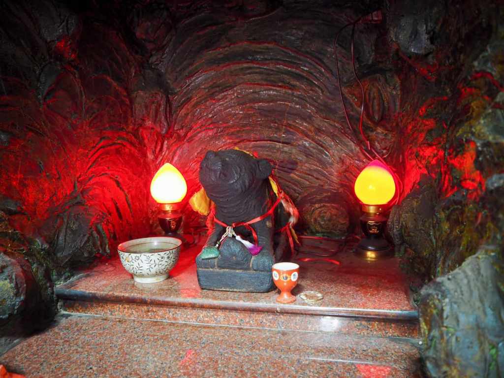
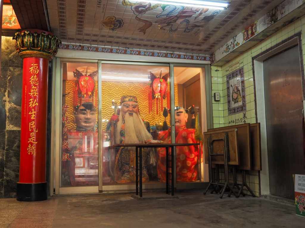
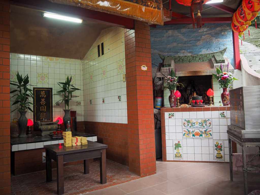
Make sure you take a little while to enjoy the character of this temple, including the oversized gods in glass cabinets and Huye in his cave before continuing on your way.
From here, it’s just a short walk along Daxing Street back to Beitou MRT Station.
HOW TO GET TO BATTLESHIP ROCK
Google Maps address: The walk starts close to National Yang Ming Chiao Tung University and Taipei Veterans’ Hospital. If you’re coming with your own transport, you should find ample scooter spaces and plenty of paid car parks, but public transport is probably your best choice for this walk.
GPS location:
- Entry trailhead — N25 07.420 E121 31.025
- Exit trailhead — N25 07.855 E121 30.300
Public transport: If you’re coming on public transport, the MRT is the easiest way to get here. You can walk to the trailhead from Qilian Station and on the far end, you can hop back on at Qiyan.
Nearby Trails:
- Battleship Rock — Exciting Version
- Battleship Rock Night Hike
- Mount Zhongzheng Trail
- Tianmu Water Pipe Trail
- Zhishanyan
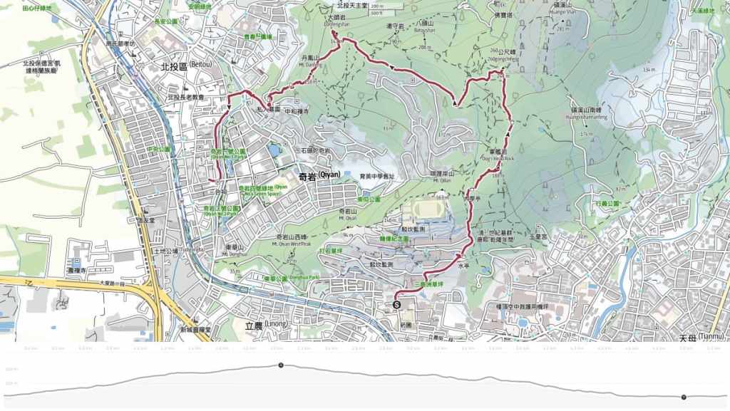
BATTLESHIP ROCK TRAIL MAP
GPX file available here on Outdoor Active. (Account needed, but the free one works just fine.)
