Penglai is a small Indigenous village deep in the hills of Miaoli’s Nanzhuang Township. The village itself is small, and for most visitors it’s this trail rather than the village that draws them in. The creek side walkway was built as part of efforts to boost and protect the waterway’s fish populations, which had been depleted after advances in fishing technology outpaced the river’s ability to regenerate. All along the path, you’ll encounter signage that explains how the villagers were able to successfully pull off the transformation.
Distance: About 3.2 kilometres, but there’s an option to shorten that.
Time: 60-90 minutes. It took us about an hour to complete a short loop.
Total ascent: A little under 70 metres.
Difficulty (regular Taiwan hiker):
Difficulty (new Taiwan hiker): 2-4/10 – Even new Taiwan hikers should find this walk pretty easy.
Risks and dangers: Some slippery steps and a mildly uneven trail surface in areas. If you walk up the road, you’ll need to watch out for traffic.
Water: I took 0.5L but drank almost none of it on a cool January day. There is a mom-and-pop-style convenience store in the village where you can buy bottled water, and if you visit on weekends or holidays, there are stalls selling snacks at the lower trailhead.
Shade: The riverside portion is very shady, but if you plan to walk back up the road, you’ll find that section exposed.
Mobile network: I had clear phone signal throughout.
Enjoyment: This is a great walk for people who want to see animals with minimal effort (although better go on a weekday when there are fewer people around to increase your chances of seeing something).
Bathroom facilities: There is a toilet block at the lower carpark.
Route type: Loop if you include a road walk or there-and-back.
Permit: None
Jump to the bottom of this post for a trail map and GPX file.

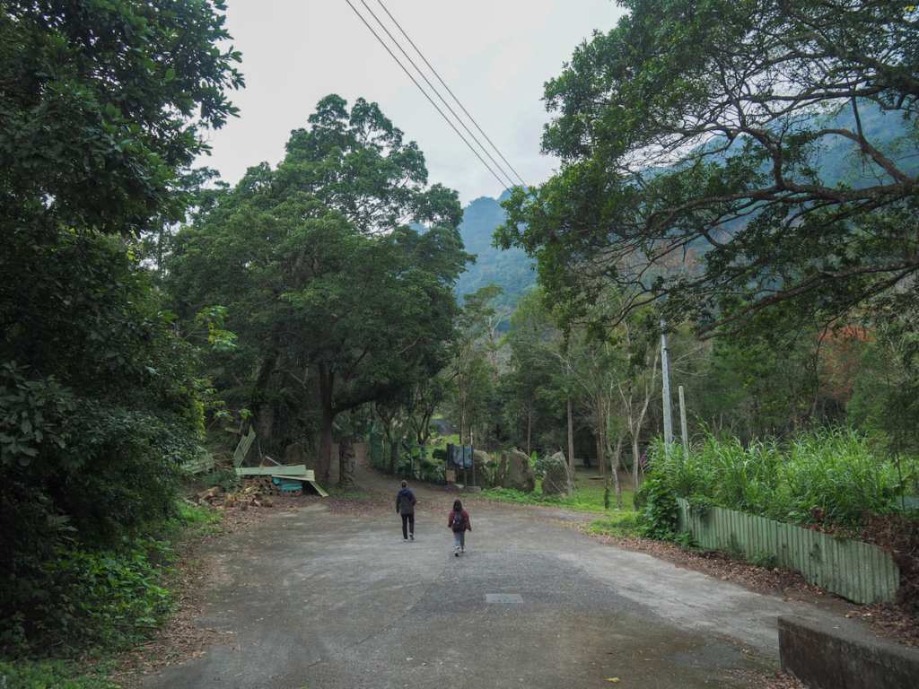
We started our walk from right beside Penglai bus stop. The route isn’t signposted at this point, but if you head down this decorated lane, it’ll soon bring you to the southern trailhead.
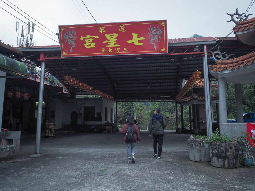

The land ends at Qixing Temple (七星宮) and we found ourselves walking through the temple’s covered courtyard.
For a brief while, it feels as if you might be trespassing on private land, but just on the face side of this concreted area, we spotted a carved totem pole decorated with river fish and a sign indicating that we were at the start of Penglai Fish Watching Trail.
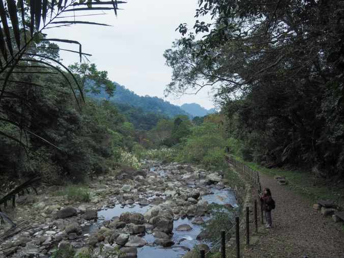
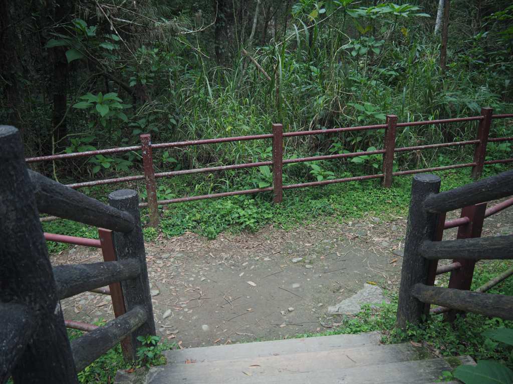
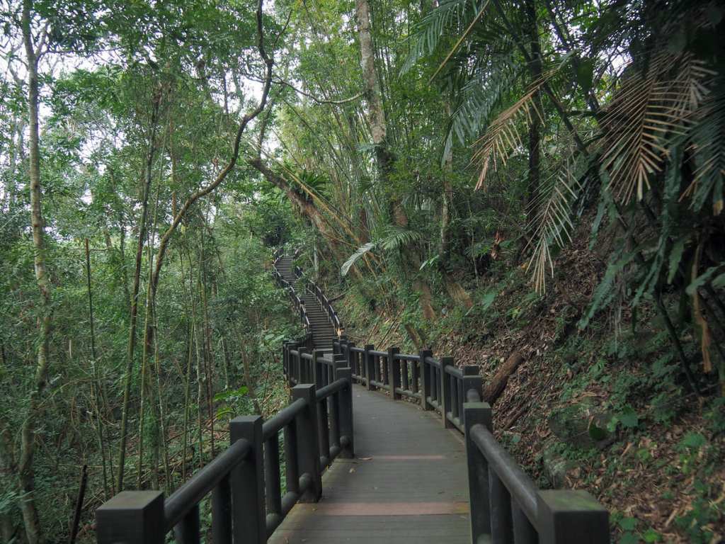
Steps descend through lush forests towards the ever-louder rush of water.
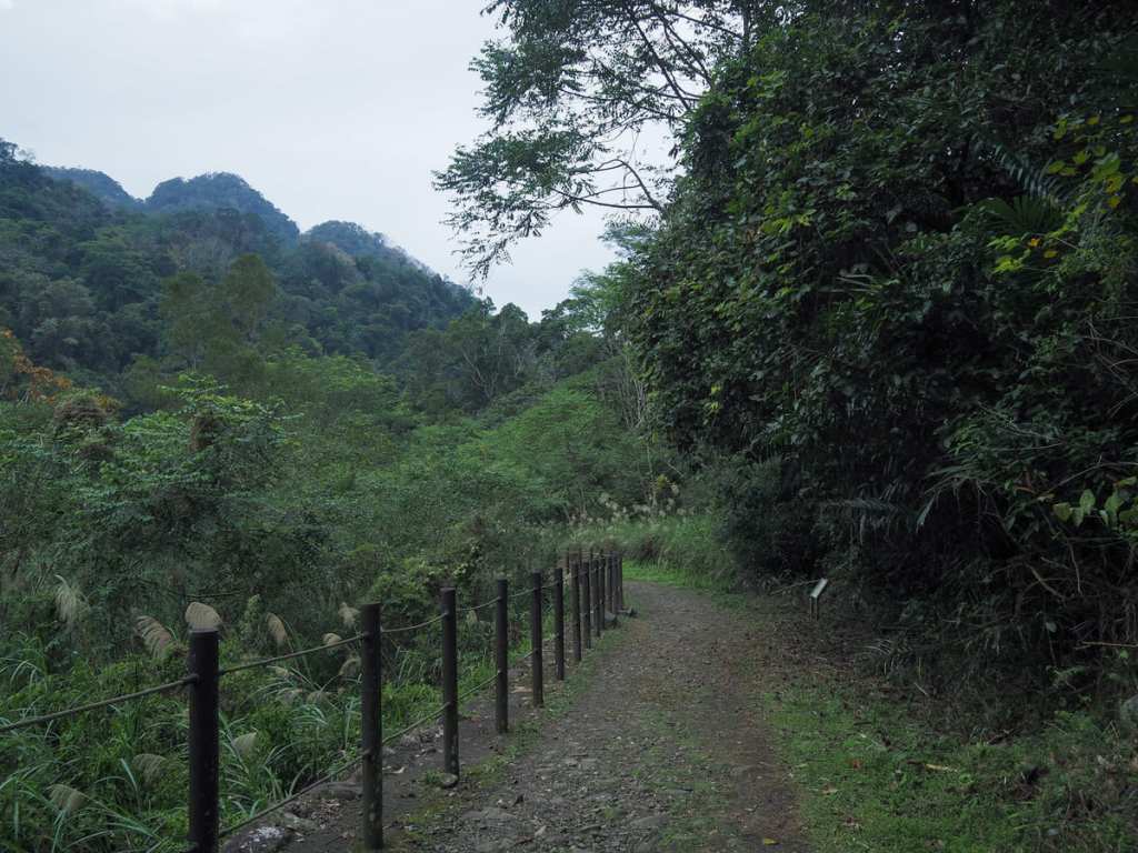
And after about just ten minutes, we found ourselves walking along the flat riverside trail (although at first, any view of the water was obscured by miscanthus grass and other waterside plants).
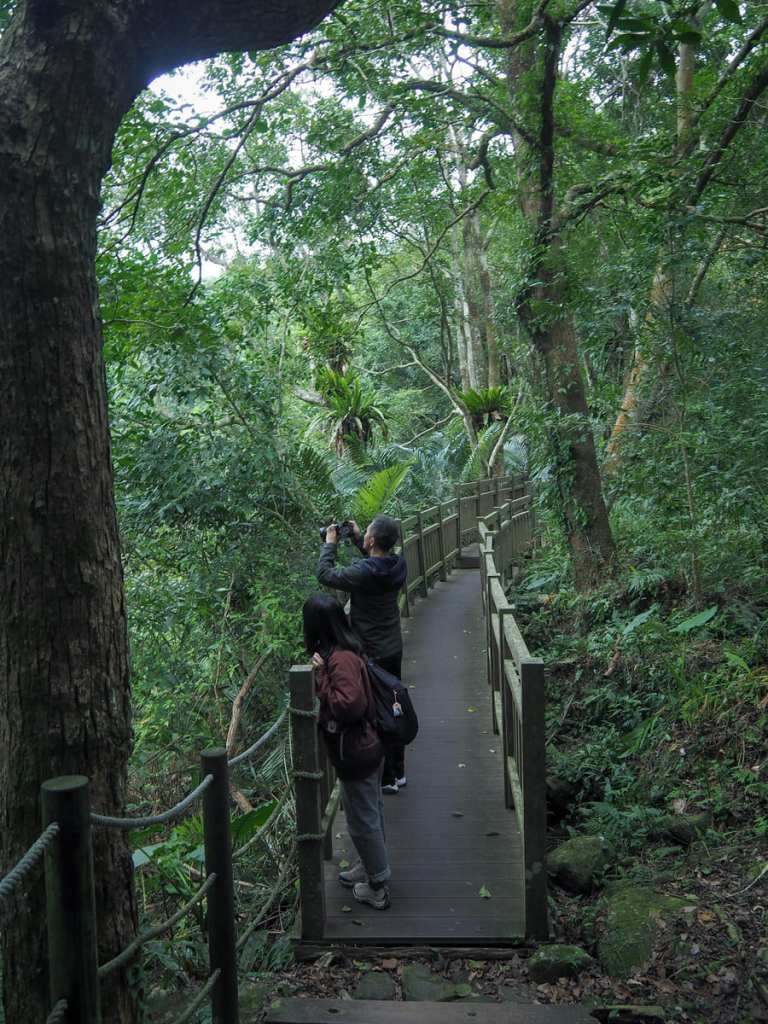
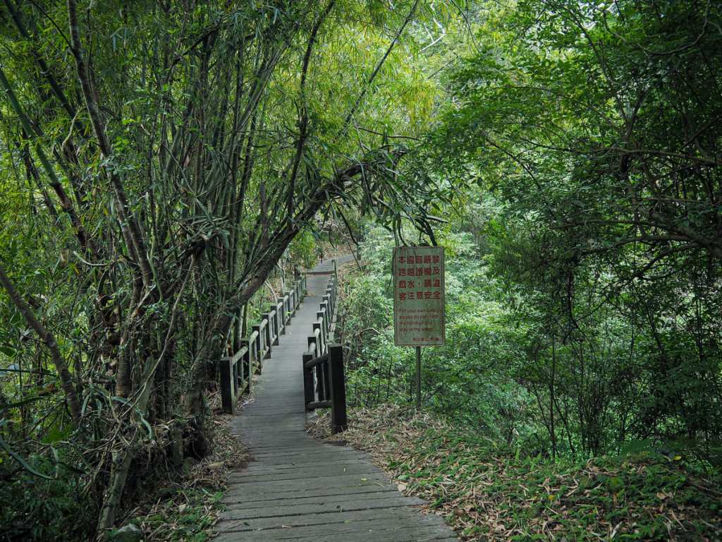
Wooden boardwalks made up some sections of the trail, and from one of them, we noticed a muntjac taking a drink on the far bank.
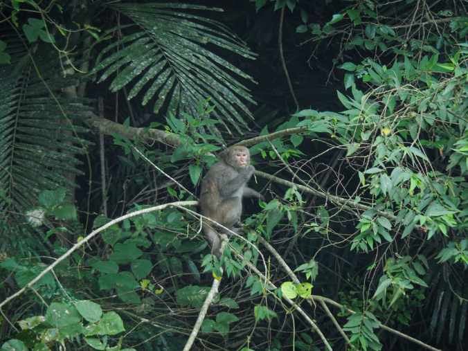
Muntjacs weren’t the only animals either, we also saw a few monkeys snacking on some leaves.
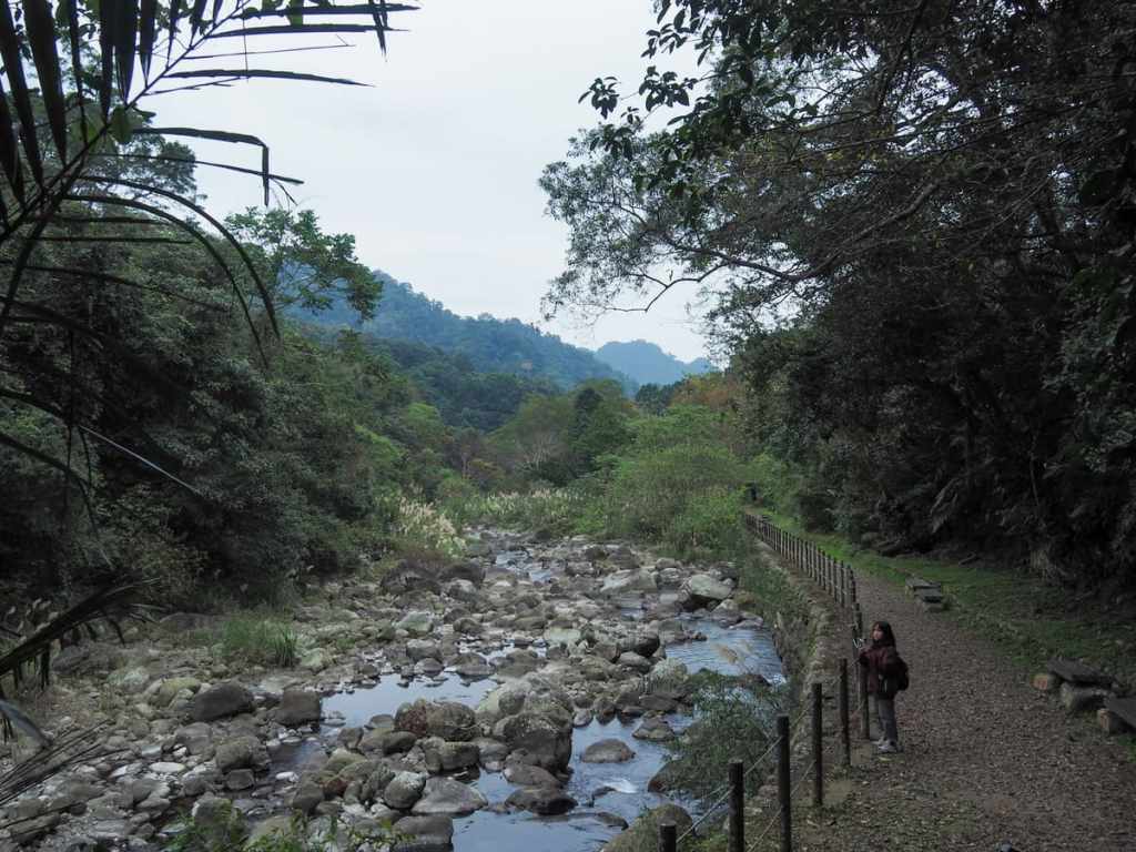
My favourite parts of the walk were where the buffer of trees between the park and the river dropped away and you could see down into pools full of chunky fish. I think it used to be possible to paddle in one or two places, but that’s no longer the case — the river is fenced off the whole way.
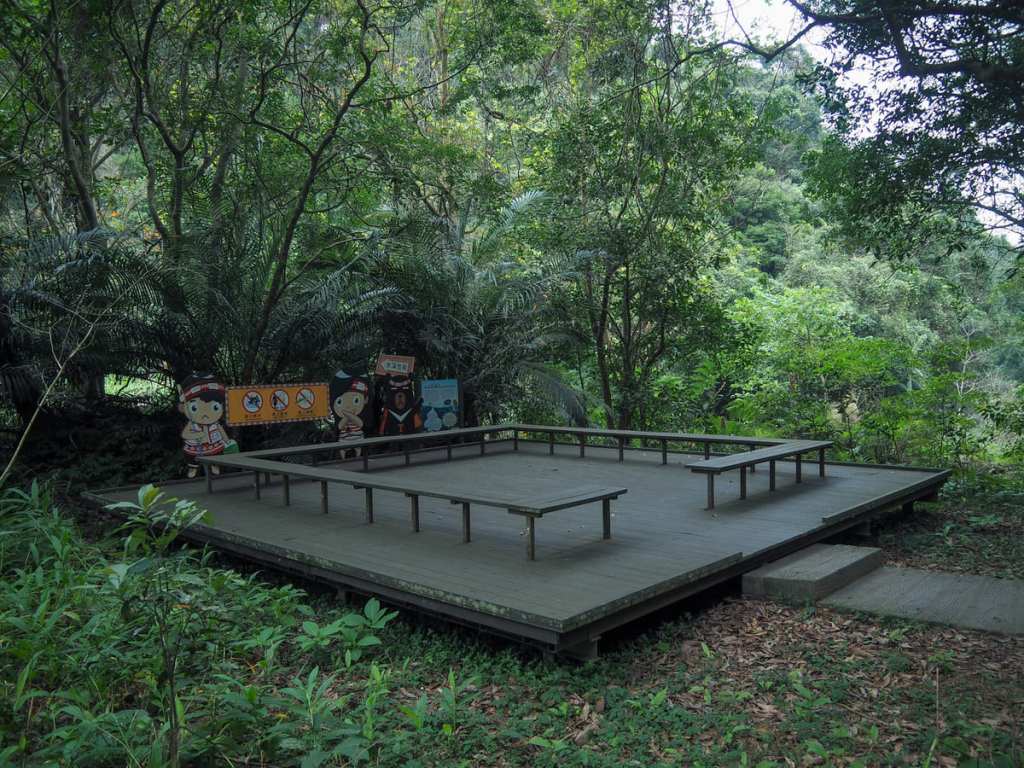
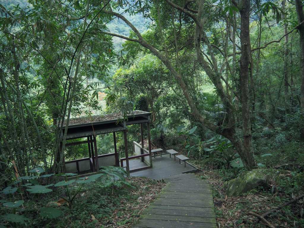
About halfway along the riverside portion, there is a fork in the trail. The right hand path leads directly back up to the village, while the left hand one will take you along the river a little further before gradually terminating at the northern trailhead. Just beyond the junction, there’s a large rest area with an information board detailing the history of the place. In fact, it’s worth pointing out that the sign boards along the way have a higher than usual standard of English and provide plenty of interesting information about the ecology and geology of the trail.
Eventually, the steps begin to lead up and away from the water and we were soon in the trailhead carpark. We were there on a weekday, so none of the vendors were open, but there was a row of small stalls that presumably operate on weekends.

A statue of Xiaohua, the trail’s shoveljaw carp mascot stands beside the road to welcome visitors. From here, we turned right onto the road and walked all the way back up through the village (on a weekday there was minimal traffic, but it would likely be less pleasant to road walk on weekends).
How to get to Penglai Fish Watching Trail
Google Maps address: The walk starts and finishes at Penglai, a small Tayal village in Miaoli County’s Nanzhuang Township. If you’re driving, you’ll need to take County Highway 124 out of Nanzhuang and stop at Penglai Fish Watching Trail Car Park.
GPS location:
- Lower trailhead – N24 33.065 E120 58.365
- Upper trailhead (the one this route guide starts from) – N24 32.625 E120 58.285
Public transport: If you’re staying in Nanzhuang, the 5822 runs from Nanzhuang to Penglai several times a day. If you’re not staying in Nanzhuang, you’d have to catch the 5805 from Zhunan bus station to Nanzhuang first. It’s not impossible, but it’s a lot of work for a short trail.
Further reading: I wrote about this walk as part of a longer article on Shitan and Nanzhuang Townships for Travel in Taiwan Magazine.
Nearby trails:
- Jiali Mountain
- Lion’s Head Mountain
- Raknus Selu – Day 8
- Raknus Selu – Day 9
- Raknus Selu – Day 10
- Shen-Xian Trail
Penglai Fish Watching Trail Map
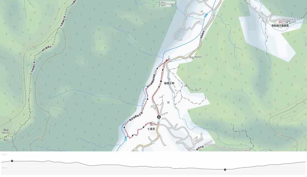
GPX file available here on Outdoor Active. (Account needed, but the free one works just fine.)
