On the final day of a four-day stop in Hengchun, I got up a little before Teresa and my parents to sneak in one last walk up a hill that I’d first seen and wanted to walk about three years earlier.
(If you came here looking for Turtle Island in Yilan, or Turtle Hill in Taoyuan, you’re in the wrong place.)
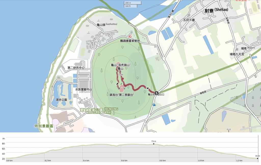
Distance: 1.3km if you park at the trailhead.
Time: 30-50 minutes. I was on the trail for about 40 minutes.
Difficulty (regular Taiwan hiker): 1/10 – Some uneven steps but otherwise very easy.
Difficulty (new Taiwan hiker): 2/10 – This is an easy trail with just a few steps to climb.
Total ascent: A little over 50 metres.
Water: I just took my morning cup of coffee with me.
Shade: Mostly quite exposed.
Mobile network: Clear throughout.
Enjoyment: This is a neat little walk big you’re in the area and have a spare hour. It would be even better if done early enough to enjoy the sunrise.
Other: It took me about 12 minutes to reach the sunrise viewing platform, but if I’d been focused on getting there quickly to see the sunrise, I could have walked it in under ten minutes. I think it should also be possible to enjoy sunset from the second viewing area.
Route type: Lollipop loop.
Permit: None needed.
Jump to the bottom of this post for a trail map and GPX file.
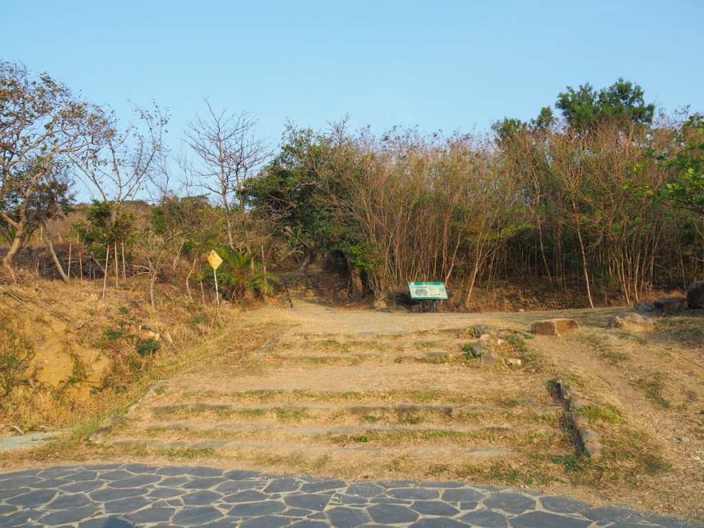
The start of the trail is on a quiet road that’s not far from the National Museum of Marine Biology and Aquarium. There are toilets by the trail’s carpark, and an information board marking the start of the climb.
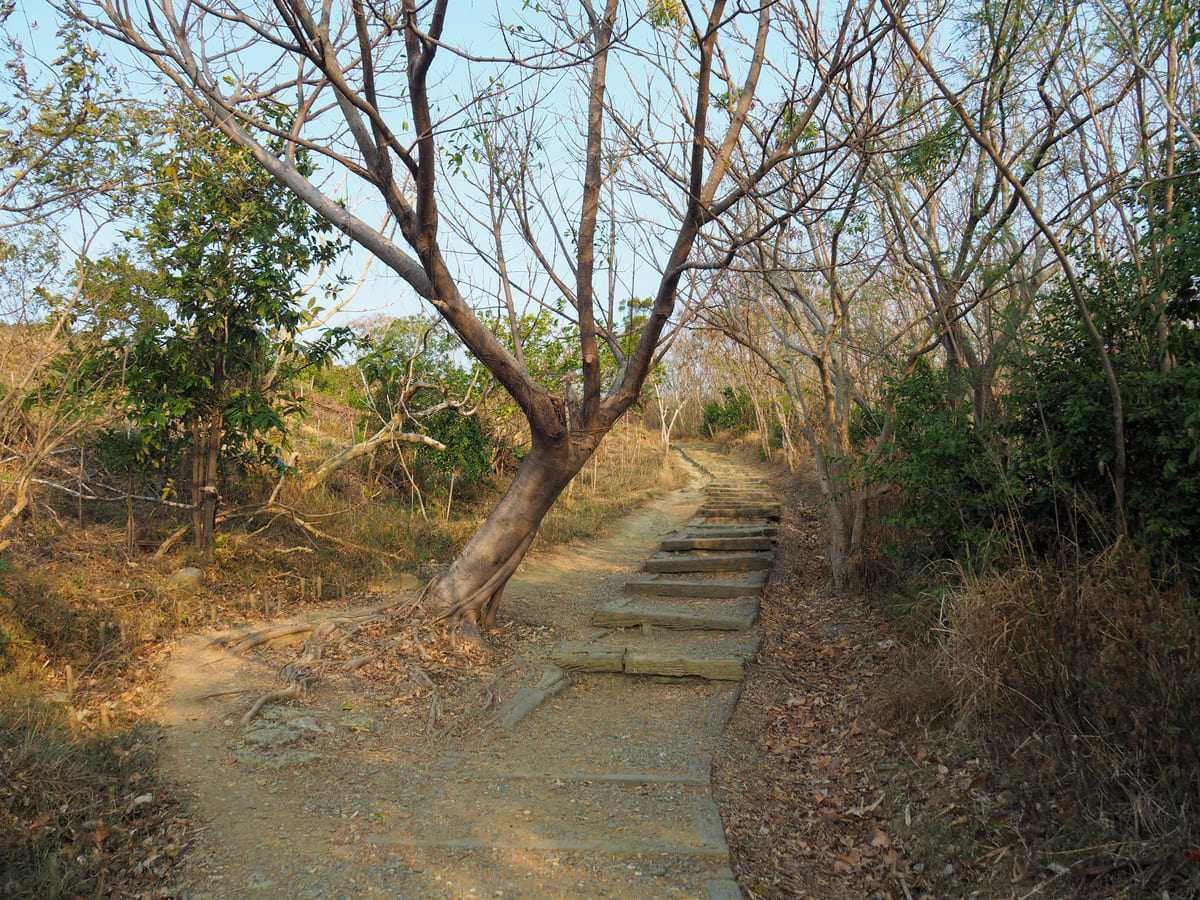
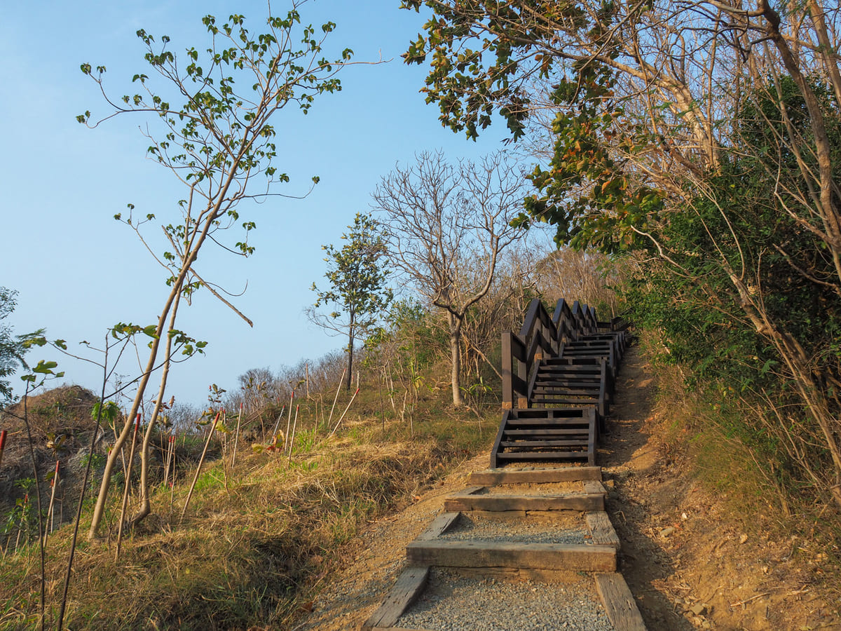
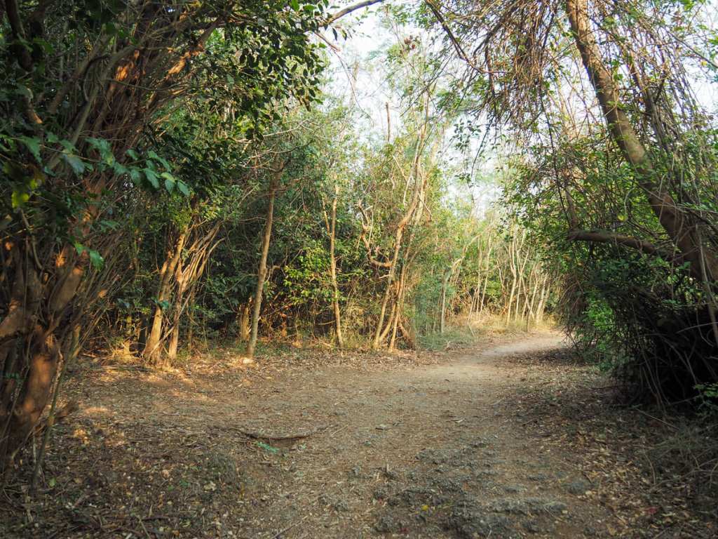
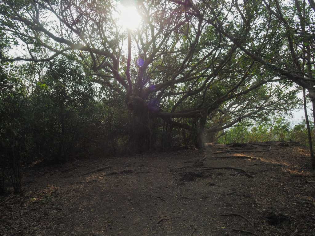
The walk consists of a short and not too steep climb, followed by a mostly flat loop around the top. The box-frame steps are precisely the wrong length, they’re the kind where you end up using the same leg to climb each time. The newer-looking wooden steps are more pleasant though.
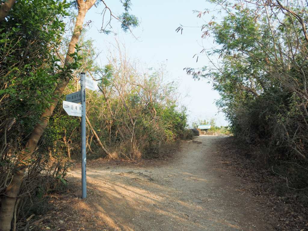
At the top of the steps, you can choose to go left or right. The right-hand trail looked more appealing to me, so I started an anti-clockwise loop.
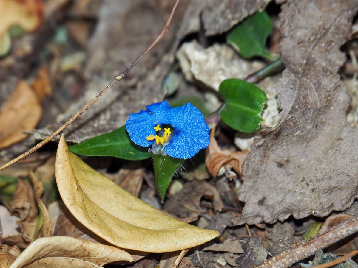
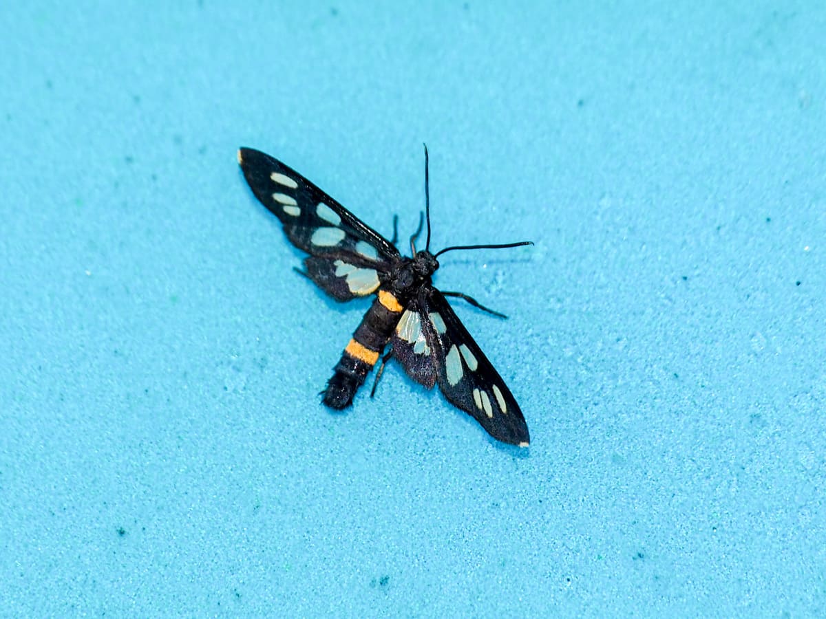
The area is currently experiencing a drought, so this bright blue dayflower stood out amongst the dusty leaves. There were more signs of bird and insect life, though. These moths were particularly populous and seemed to be drinking the dew from the signboard.
A trail joins from the left. (Ignore this, it’s just a cut through from the other side of the loop.)
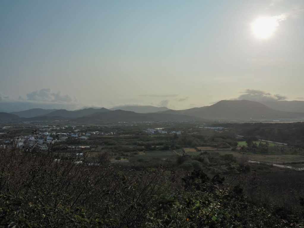
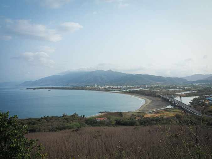
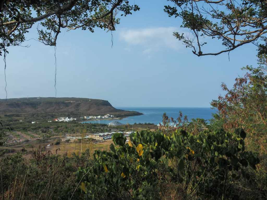
From the sunrise viewing platform, you can just about make out Hengchun (although you can’t see it in this photo), as well as lots of little villages scattered around the coastal plain. It would have been a great spot to see the sun come up, and had I known beforehand, I would have tried to get here a little earlier.
A little further along, I came across the next viewing area.
This one looks north over Guishan Bridge and the village of Sheliao. I think this view is probably better in the evening or when the sun is high in the sky.
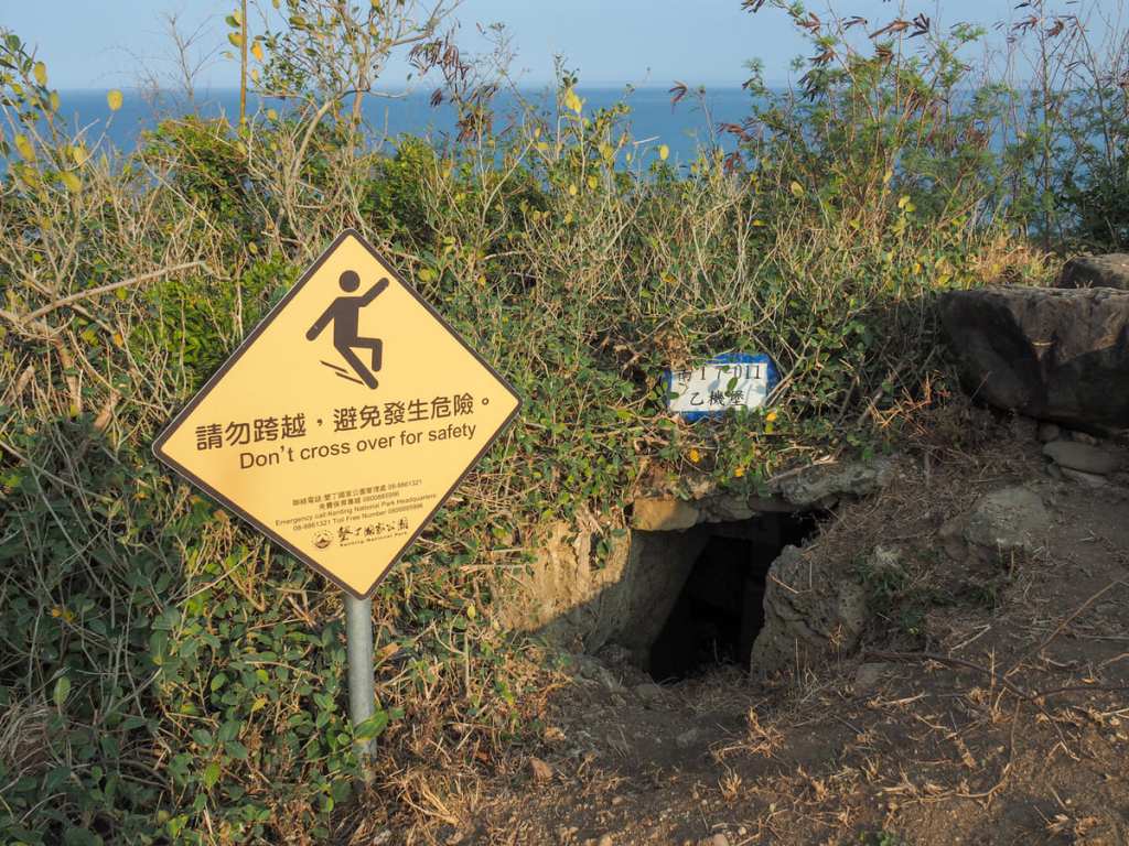
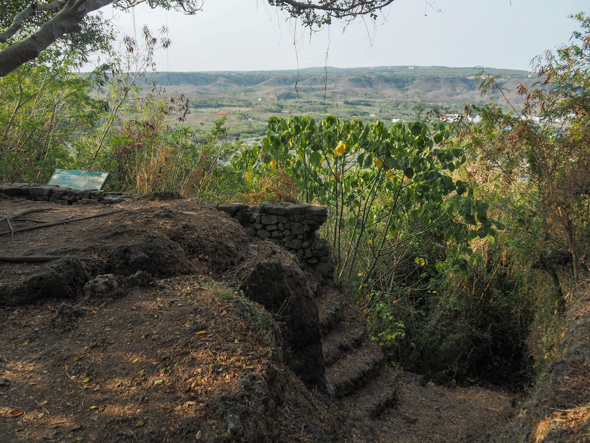
To the western side of the clearing, I saw the first of several old military installations that are dotted around the hilltop.
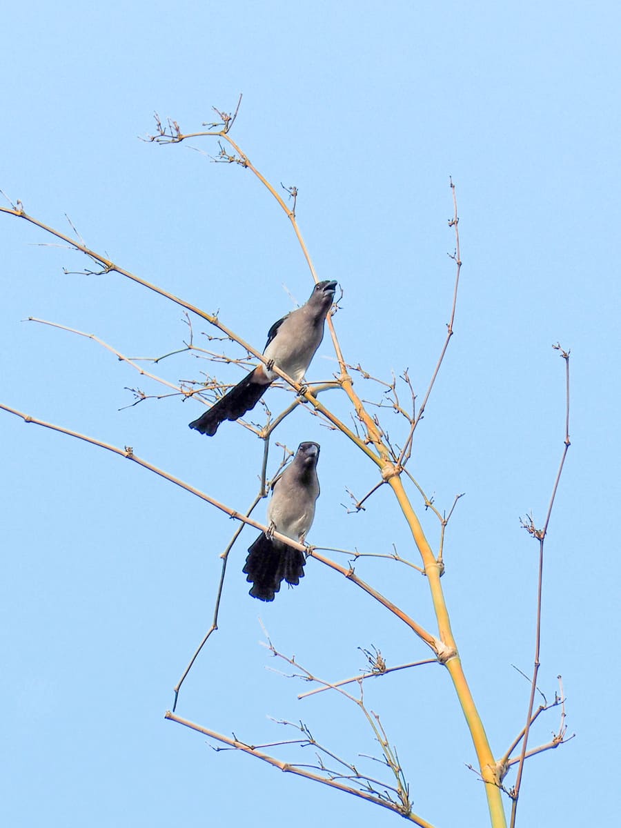
As I continued my walk, I saw more defensive structures and this pair of noisy grey treepies.
The trail continues on to a clearing. Here I met the other end of the cutting-across trail that I’d passed shortly after reaching the top of the hill. Just keep going straight here.
There’s one final view to enjoy here before you start heading down again. The odd fish-shaped building (as well as all of the other structures) belongs to the National Museum of Marine Biology and Aquarium. I’ve never visited myself, but I’ve heard that it’s a pretty good aquarium.
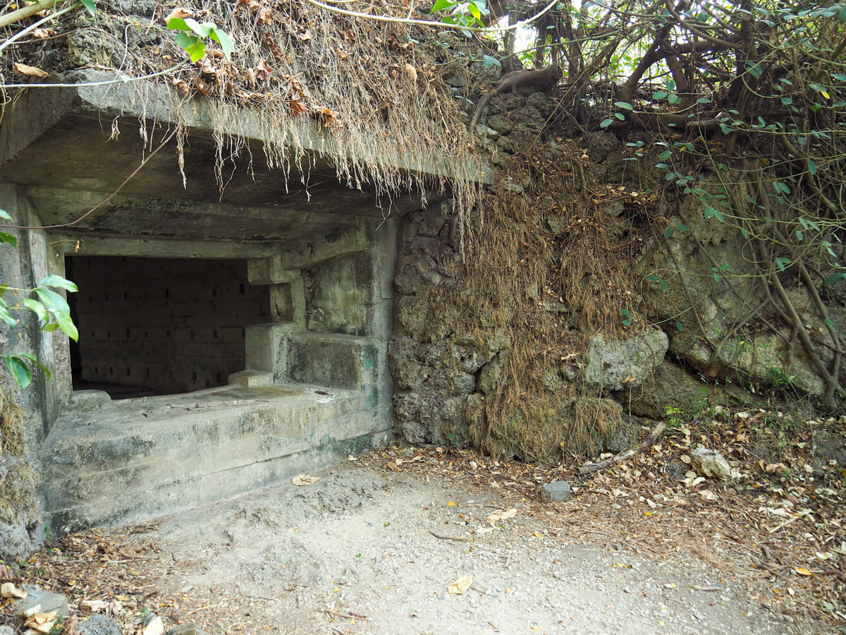
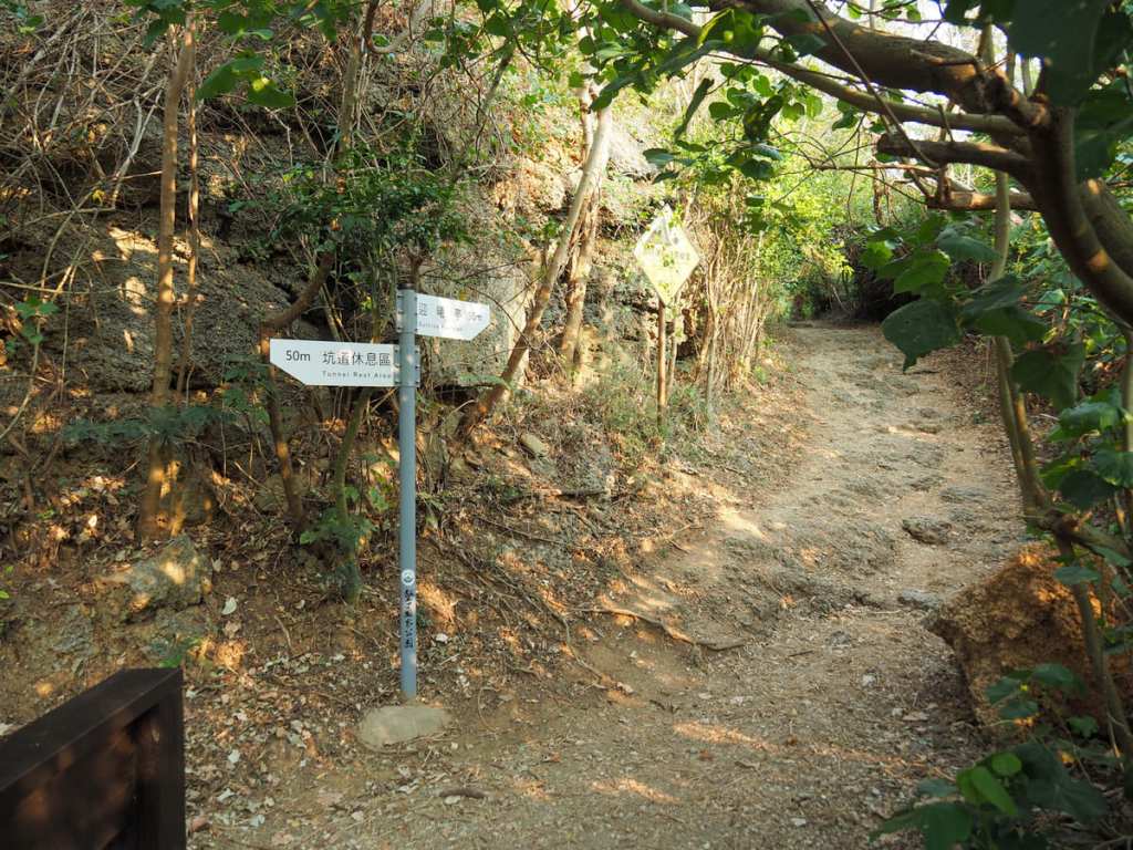
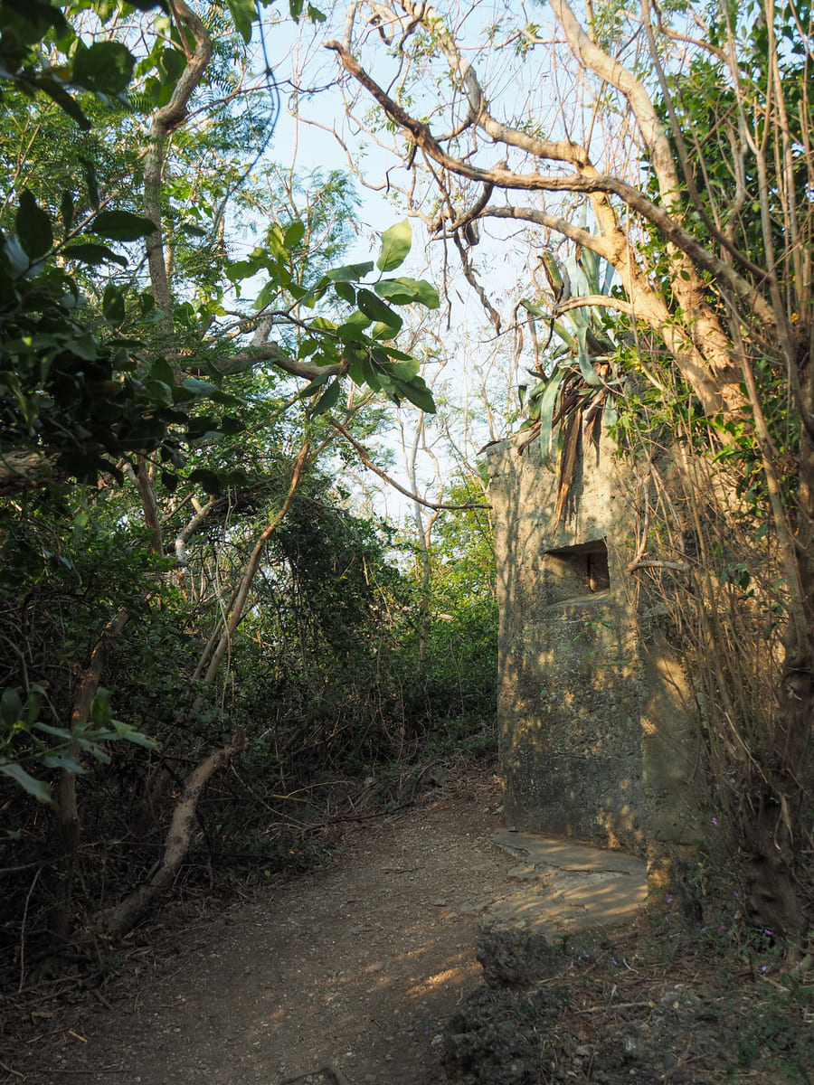
The trail seems to disappear, but in fact, it just heads down some steps. At the bottom of the steps, take a left and when you find yourself at the window lookout into this observation post, climb through it.
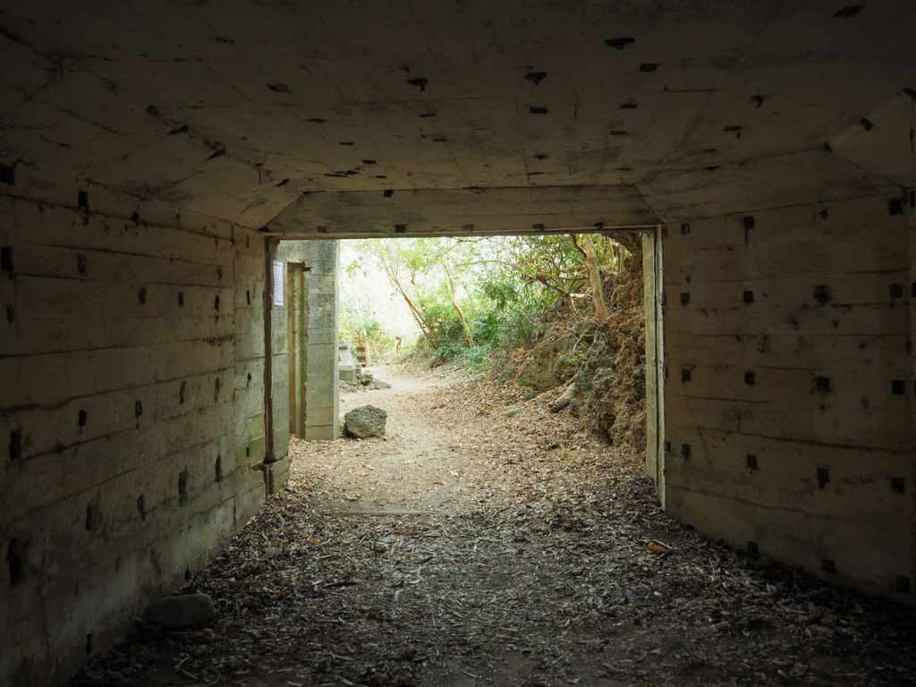
The trail actually continues straight through the concrete structure and out the other side.
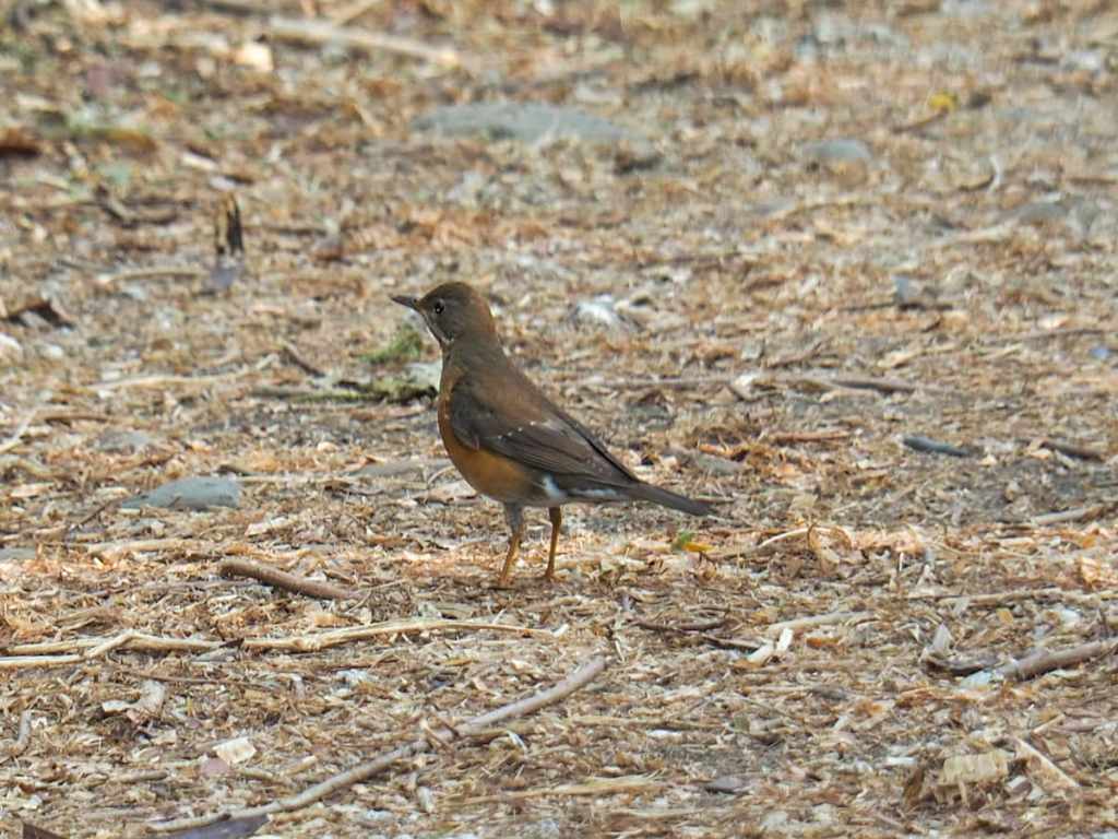
From the tunnel rest area, a pair of brown-throated thrushes bobbed and ducked along the path in front of me to lead me back to the steps.
How to get to Turtle Hill
Google Maps address: The walk starts from Pingtung District Road No. 153. There’s a carpark with space for several cars, and plenty of places for scooter parking.
GPS location: N22 02.980 E120 42.240
Public transport: There are two 308 bus service a day every Monday to Friday that go almost straight to the trailhead from Hengchun Tourist Centre/Transfer Station. The first leaves at 6:15 and the second at 16:05. If those times don’t work for you, it’s also possible to catch several other services (the 201 Kenting Shuttle, the 8239, the 9117, the 9188, and the 9189), that leave Hengchun Tourist Centre/Transfer Station and will get you as far as the National Museum of Marine Biology Transfer Station. From there, it’s a 25-minute (or 2km) walk along the road to the trailhead. Honestly, it’s probably only worth coming here if you have your own transport.
Nearby trails:
- Frog Rock Coastal Trail
- Hengchun City Walls
- Kenting National Forest Recreation Area
- Mount Dashanmu
- Mount Lilong
- Taiwan’s Southernmost Point
Turtle Hill Trail Map
GPX file available here on Outdoor Active. (Account needed, but the free one works just fine.)
