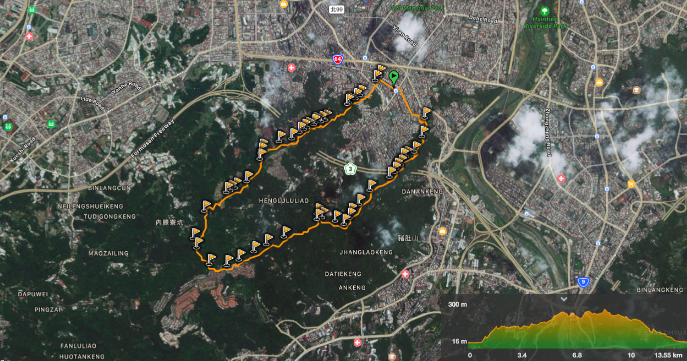
Whilst Taipei’s northern and eastern hills tend to get most of the attention, this trail to the southwest of the city has plenty to offer the traveller who strays from the well-trodden trails of Yangmingshan Park. Indeed, as the locals know, Yonghe District has well-trodden paths of its own to explore. This route takes in ancient banyans, views to both the north and the south, all manner of trail types and enough temples to satisfy the very keenest of temple aficionados.
Distance: 13.5km – It’s possible to do shorter sections of this without doing the whole loop, I’ve done a walk up to Hongludi Nanshan Fude Temple before, and there are many ways to do a shorter trail on the Flag Ridge side.
Time: 5¾ hours – I spent about an hour and a half of this stopped apparently, (it didn’t feel like that though).
Difficulty (regular Taiwan hiker): 3.5/10 – Mostly for length and navigation. It’s fine if you’re following a GPX map, but English signs are sporadic.
Difficulty (new Taiwan hiker): 7/10 – If you’re new to hiking here, you will probably find the maze of trails quite challenging. Likewise, when I started here, I often felt quite anxious about finding the trailheads leading off from small roads (there are several place where this trail intersects with a road), as it looks like there is nowhere to go. This is especially true on trails which have a low traffic volume – the westernmost portion of this trail was very quiet. The trail itself isn’t that physically demanding, but I recommend that you try a few shorter rough-around-the-edges walks first so that you can feel confident in your navigation abilities.
Total ascent: About 590m to a high of around 300 metres above sea level.
Water: I took 3L and had drunk nearly 4L by the time I arrived home. You can stock up with more water at Hongludi Nanshan Fude Temple, but that is 9km into the walk.
Shade: Partially shaded, and the shaded sections were quite patchy. I used an umbrella for most of the walk.
Mobile network: Patchy like the shade. The signal comes and goes as you dip into sections of the valley, but I didn’t notice being without reception for that long.
Enjoyment: There’s an awful lot of culturally interesting things to see here, and some good city landscapes, but the natural views aren’t quite as spectacular.
Other: You’ll probably want to take a little food if you’re planning on doing the whole thing.
GPX file available here on Outdoor Active. (Account needed, but the free one works just fine.)
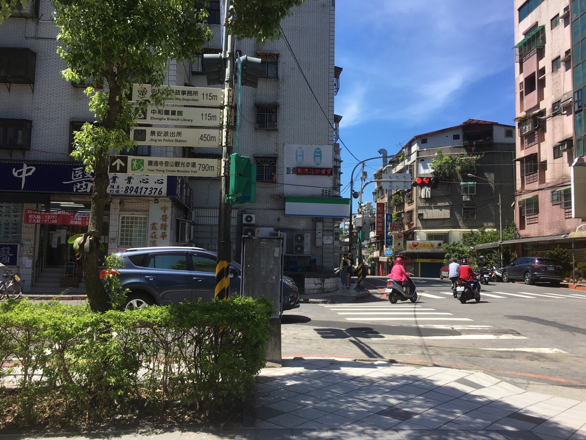
00:00 – Leaving Nanshijiao MRT Station by exit one, I set off by walking to the end of the station plaza, then turning left and crossing the road to walk up Lane 399, Nanshan Road. There’s a Family Mart here if you still need supplies, and a sign points towards Yuan Thong Temple Hiking Trail.
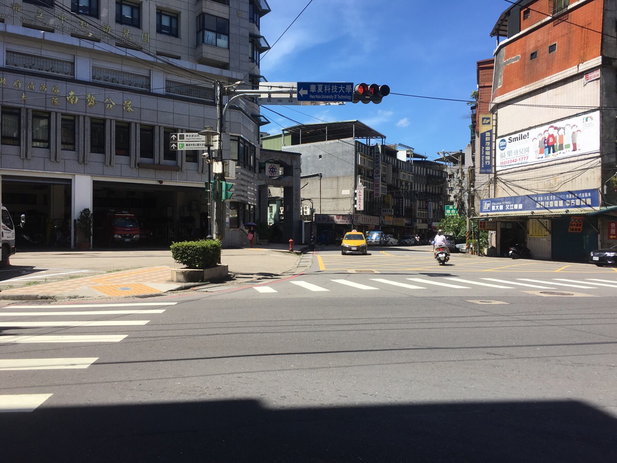
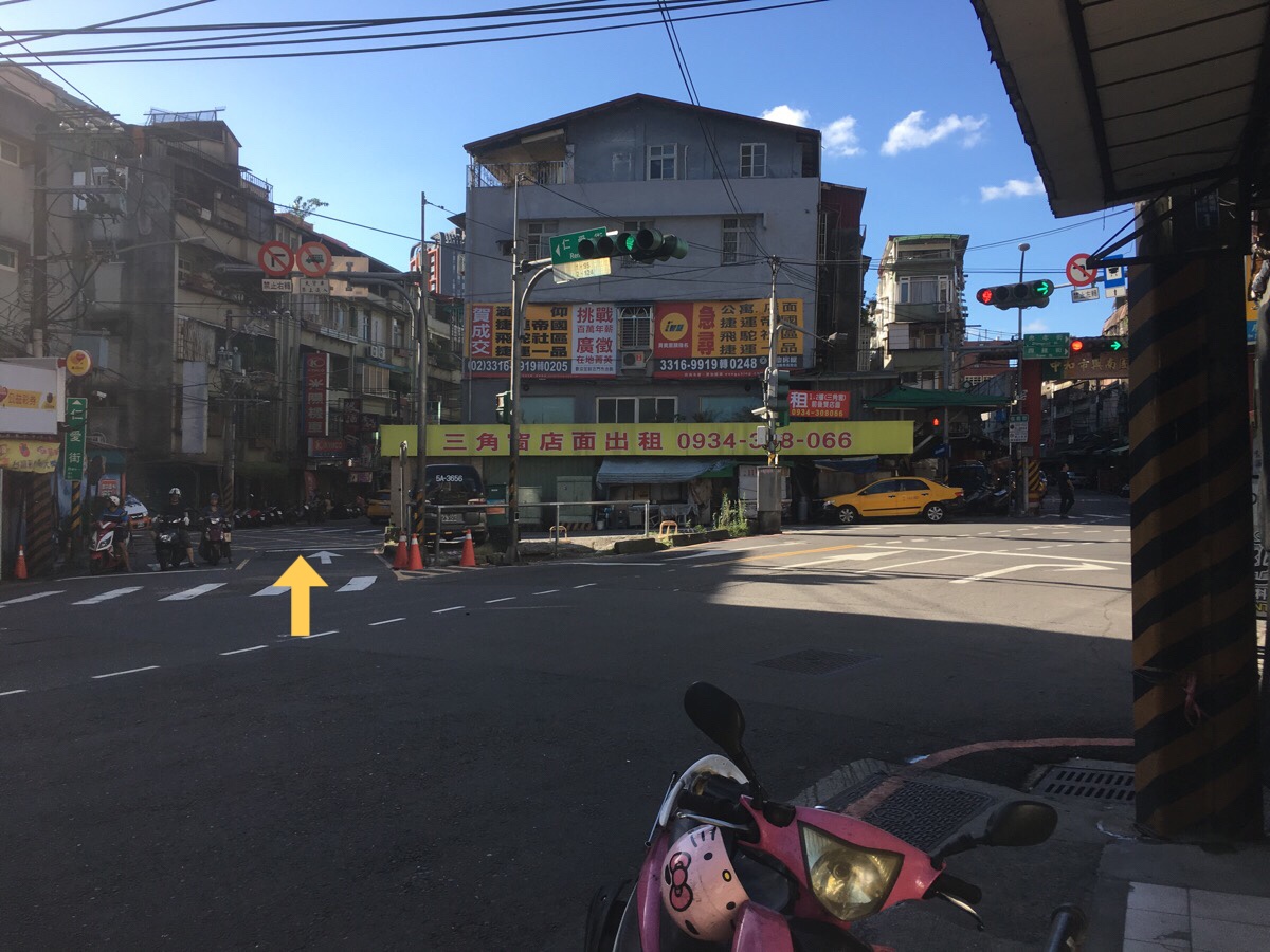
At the next junction you’ve got to do a complicated reshuffling of roads, cross over Nanshan Road, then walk towards the police station on Fuxing Road, then turn left at the corner of the police station onto Lane 236, Nanshan Road. The road passes a small temple on the left, and someone has turned old scooter tyres into painted hanging baskets for plants.
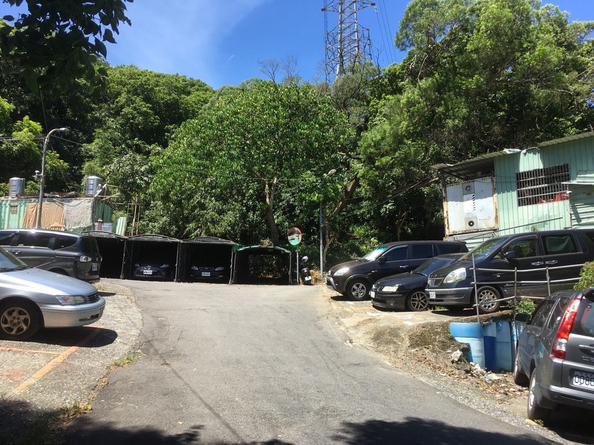
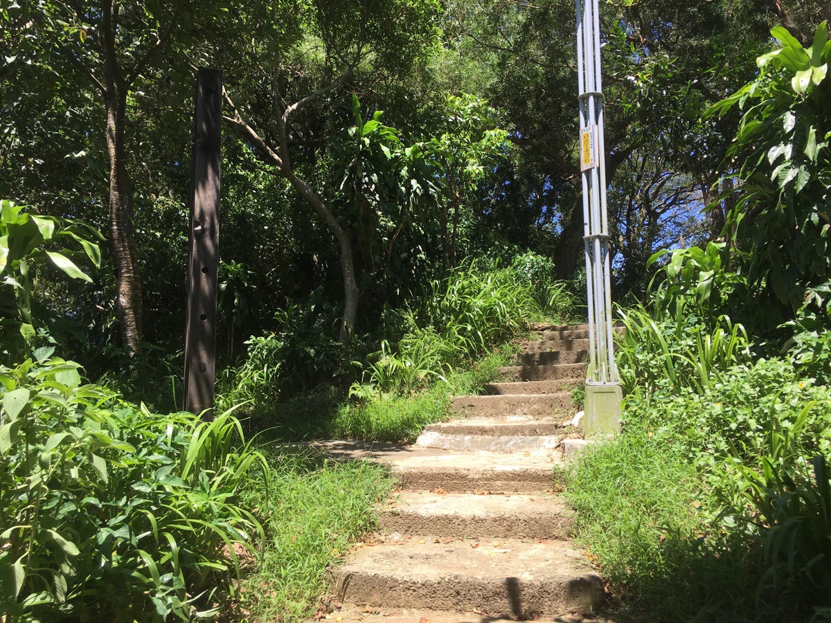
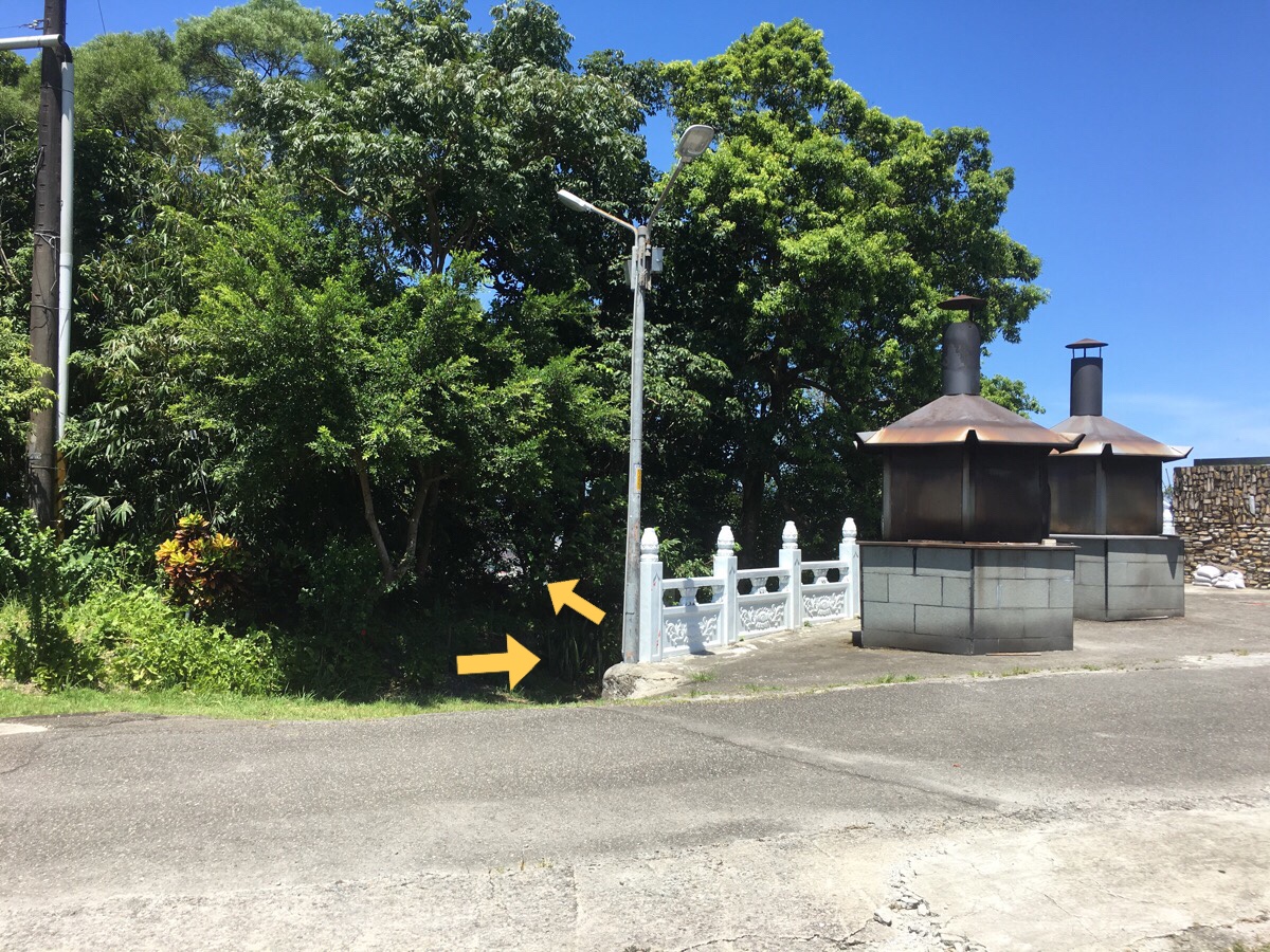
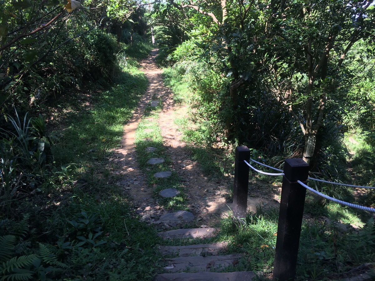
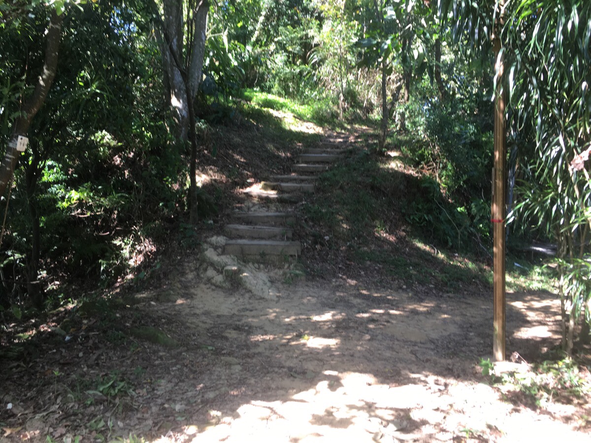
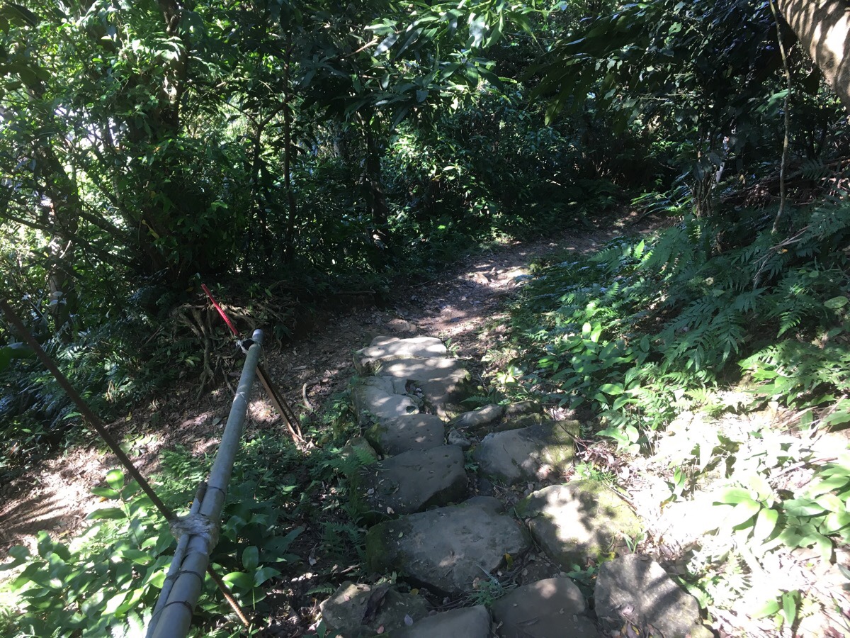
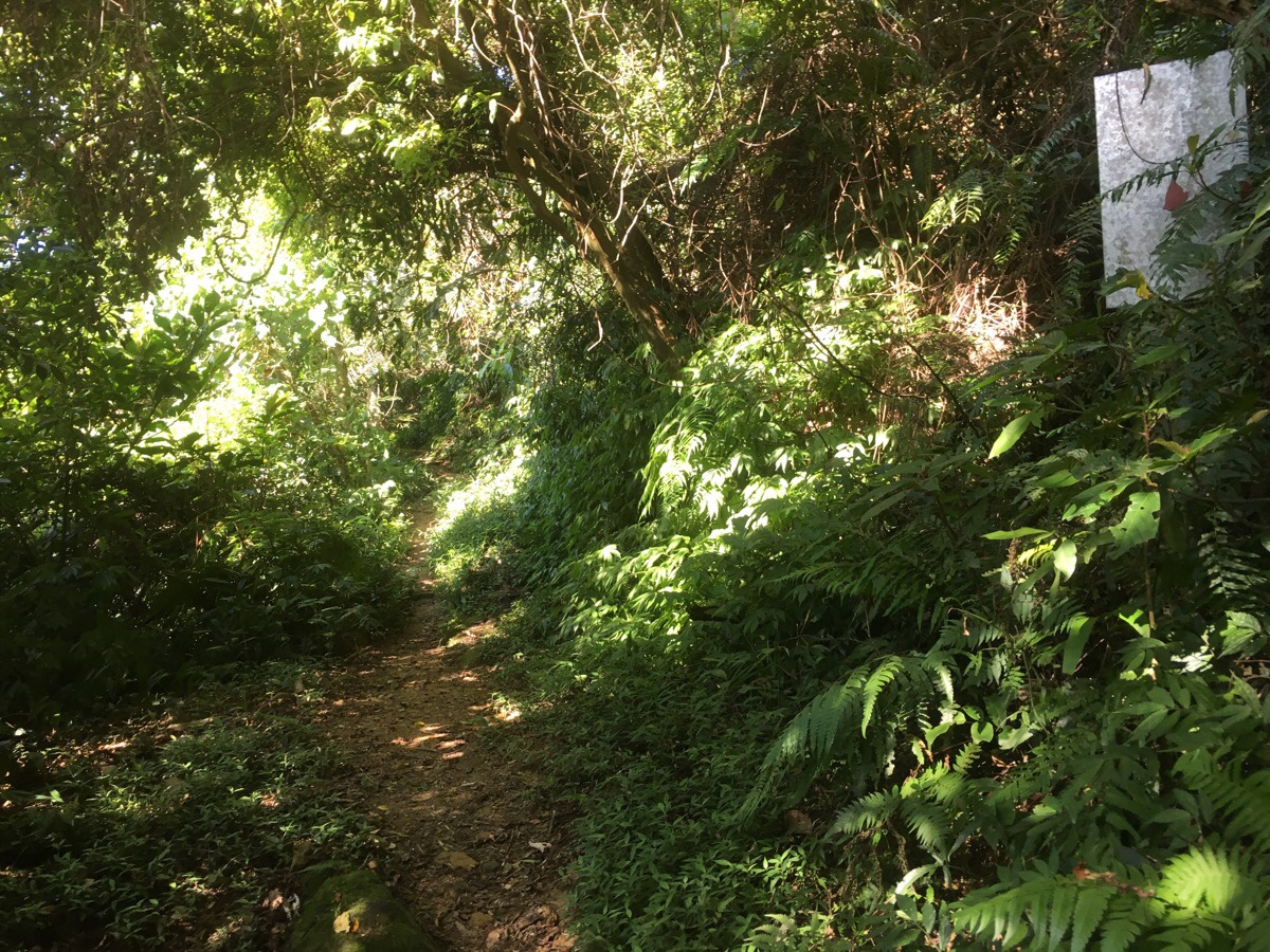
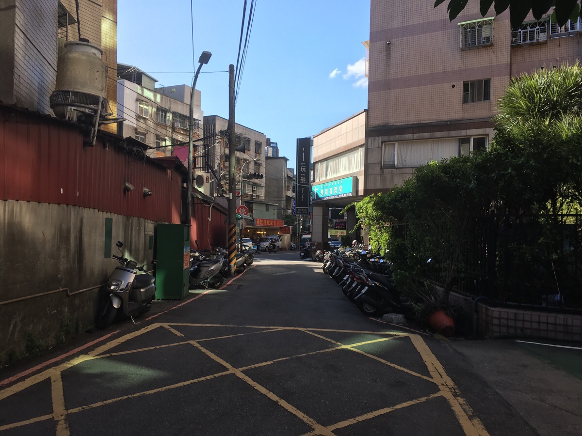
00:09 – Keep on Lane 236 right until it ends at a car park. There aren’t any signs indicating where to go here, so I was a little unsure, but as I walked through the barrier, I caught sight of some steps heading up into the trees just to the right of the traffic mirror.
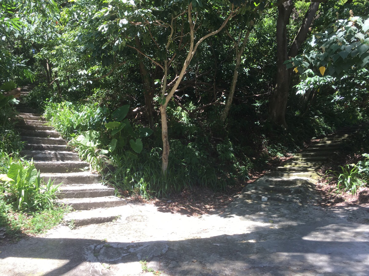
The path splits in two here, but both head up to the same place and rejoin after a matter of metres. It doesn’t look like the most inviting start to a trail, but I was quite quickly reassured that I was heading the right way by the presence of exercising grandpas.
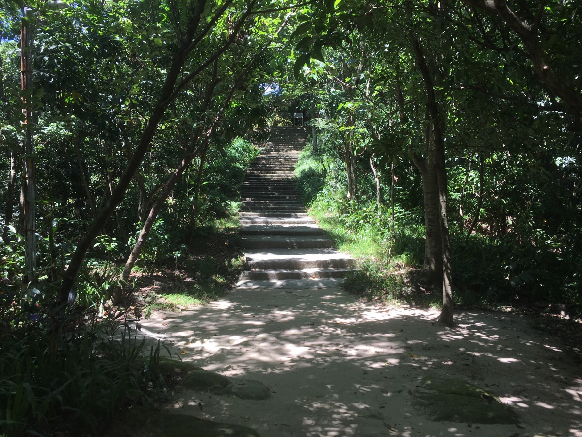
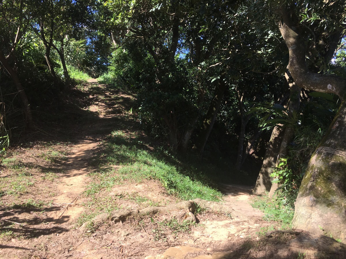
Less than five minutes after starting, the trail reaches the ridge line and I turned right to continue upwards.
At the top of the steps sits a collection of large stones (迎日石), sunrise stones. So called because any early-riser standing atop them would be able to see the first rays of the sun.
There is a maze of paths up here, but generally speaking you just need to stay on the ridge, so at the rocks I kept to the left and past the shelter to continue.
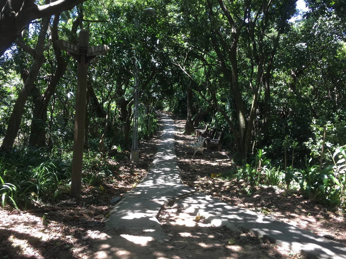
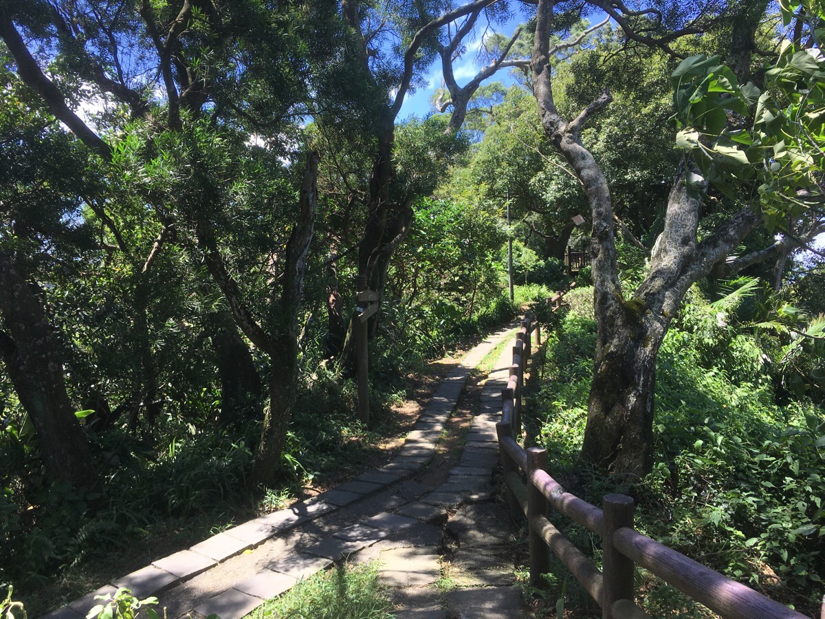
Beyond the shelter the path heads straight on, and there are occasional signposts, but they are only in Chinese. I followed the signs which said 往國旗嶺 (towards Flag Ridge, or Guoqi Ridge). Despite being concreted, the path was very pretty with the strong morning sun playing through the leaves.
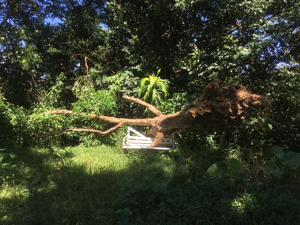
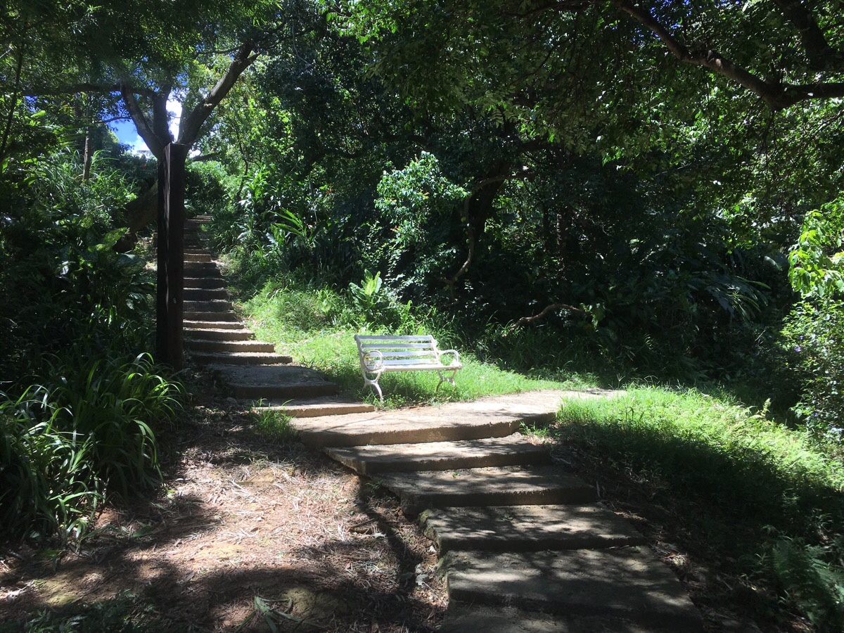
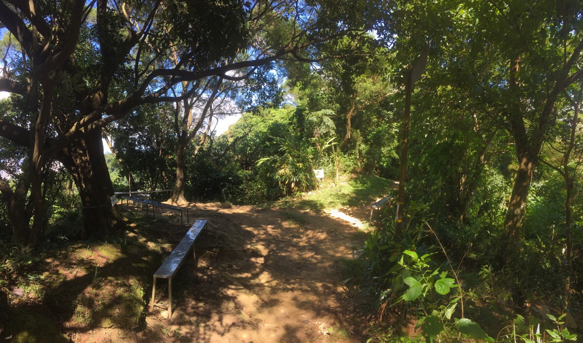
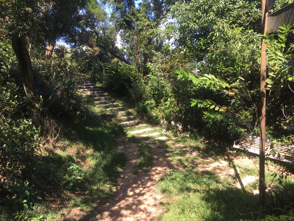
The path has clearly been maintained with the more mature and genteel class of recreational walkers in mind – the numerous benches and shelters adorning all flat portions of land speak to morning spent shooting the breeze with friends. This bench had clearly seen better days though.
00:29 – At another junction, I kept right and uphill on the ridge line, still following signs towards Flag Ridge/國旗嶺. I passed a number of walkers coming the other way, all were either older gentlemen (often shirtless), seriously going about their daily exercise, or else older couples who seemed to be enjoying the experience a little more.
At the next junction you can either turn left immediately and skip Flag Ridge, or head up and follow the path* as it curves left uphill.
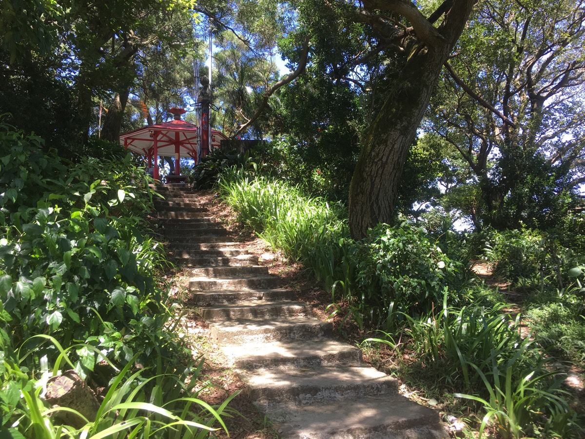
00:32 – At the top of the steps you’ll find 國旗嶺/Flag Ridge – so named because a flag pole here on the peak bears Taiwan’s national flag. There is also a dainty red pavilion which, upon my arrival, was full of middle-aged and older walkers. They stared and silently nodded polite greetings at me, until I offered them a 早安, and they took that as an invitation to ask many questions. We chatted for a little bit, and I got distracted and forgot to have a look at the actual flag, then I left via the path on the left heading downhill.
*At the bottom of the steps, the shortcut from two pictures back joins on the left. I ignored it and headed right.
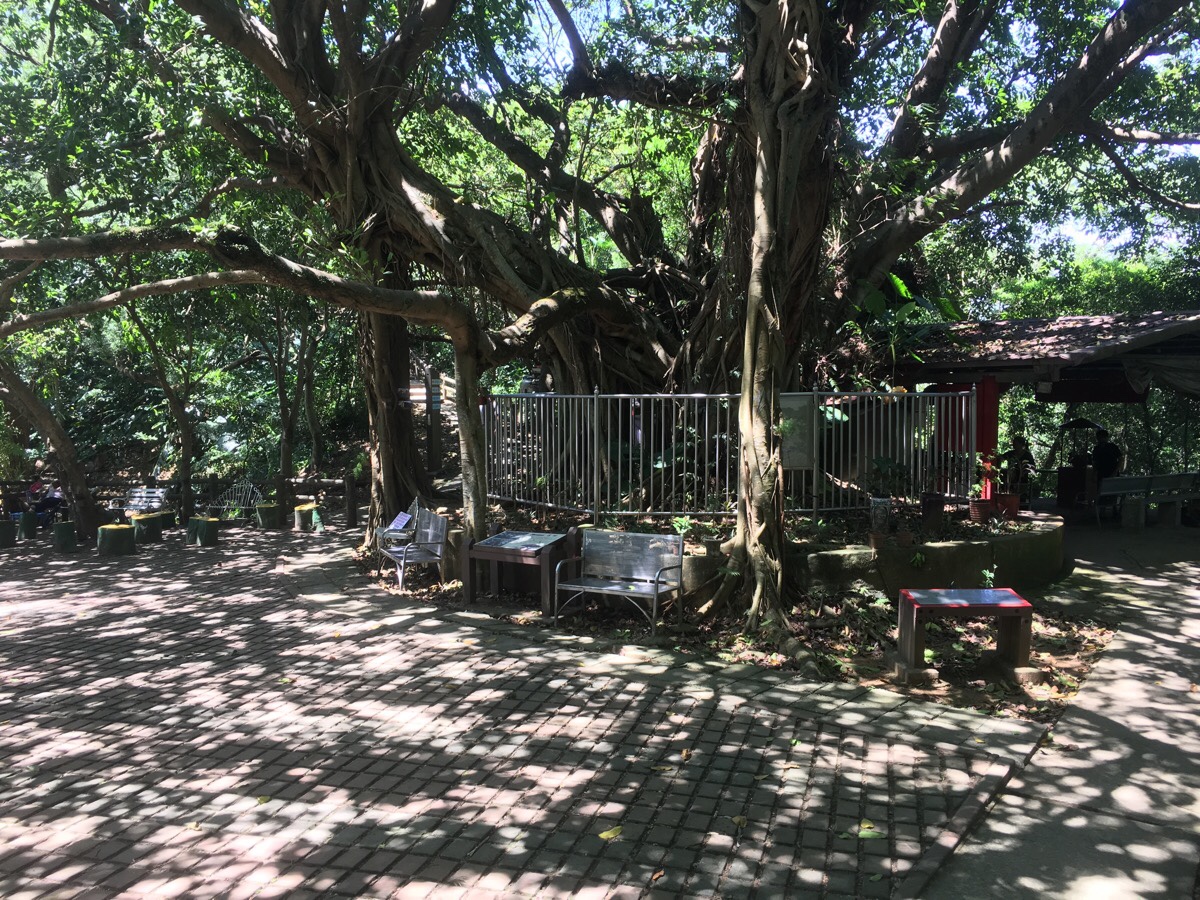
00:39 – Very soon I found myself at another landmark of this trail – a 360 year-old fig tree. The tree is (a Ficus Superba, Red Fruit Fig Tree, Sea Fig or Large-leaved Banyan depending on what you prefer to call it), it one of the ‘precious trees of New Taipei City’ – presumably its protected status is why it has a fence around it now. It’s secondary trunks spill over the barrier and extend into the space between the benches. There is also a land god temple constructed in the shade of the tree, which (according to a sign) was built by coal miners in the area who wanted a bit of protection to help them return home unscathed.
There is a convergence of paths here, but to continue, I kept to the high point of the ridge and headed more or less straight over with the banyan tree and temple to my right. A sign here points towards 圓通寺/Yuan Tong Temple.
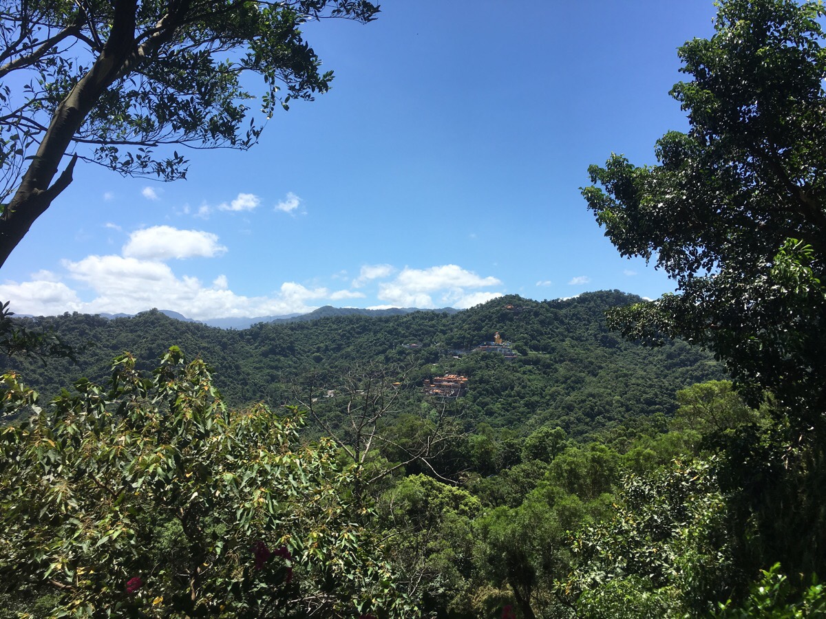
A few steps further up there is a gap in the tree line and I got the first clear view over to where I was aiming for – the giant land god of Hongludi Nanshan Fude Temple. The people at the Flag Ridge pavilion had estimated that it should take a couple of hours to get there, and although it doesn’t look far across the valley, they weren’t far off in their guesses.
Just next to the vantage point is a memorial stone that was installed a decade before I was born – I don’t know who it commemorates – a person, maybe more than one.
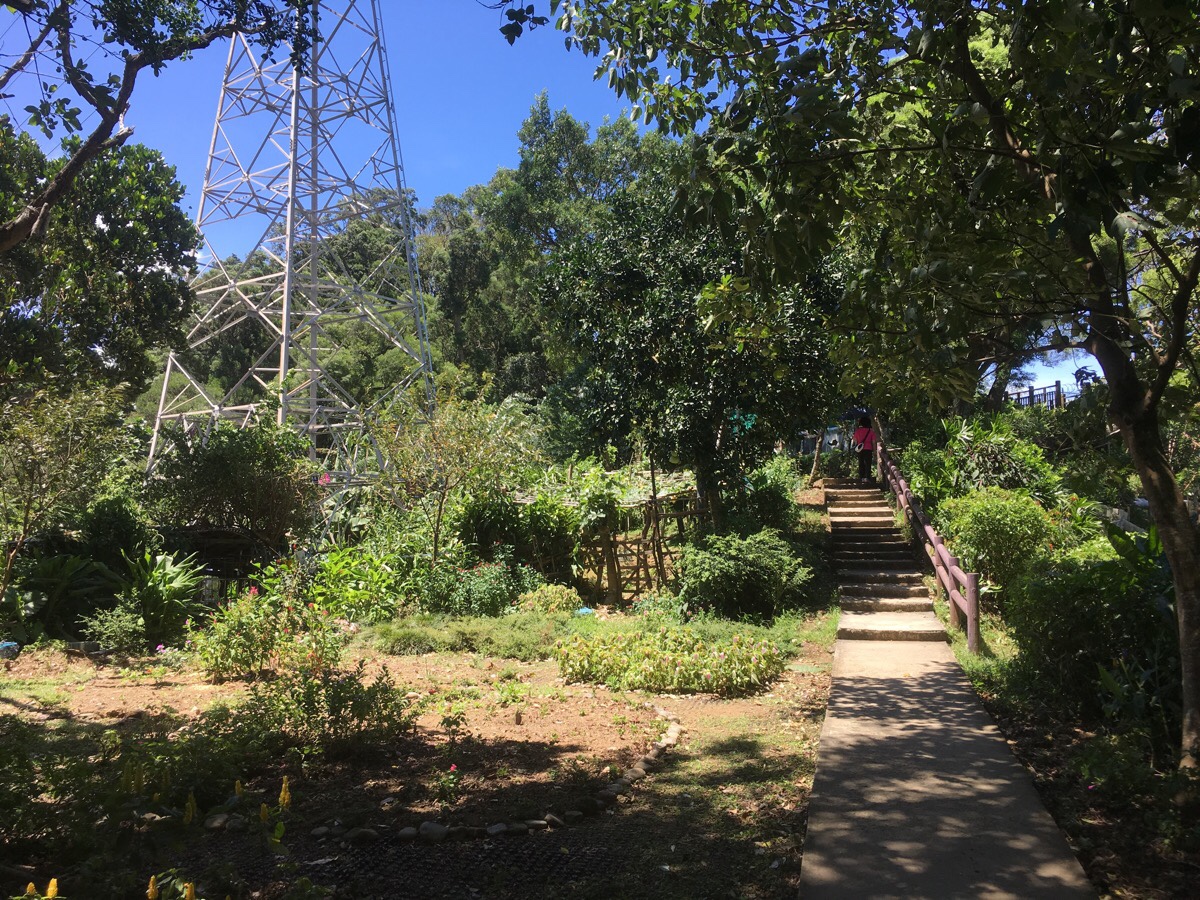
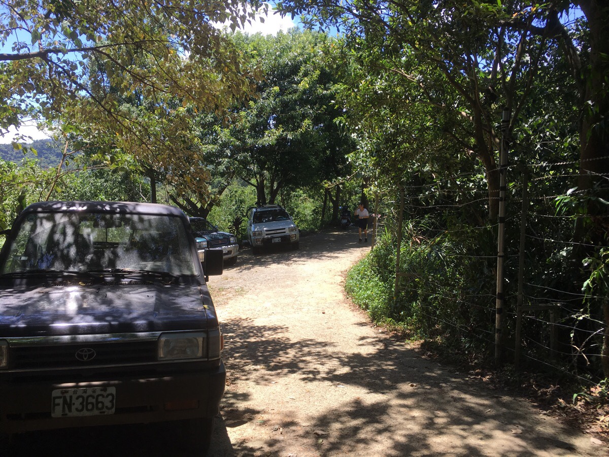
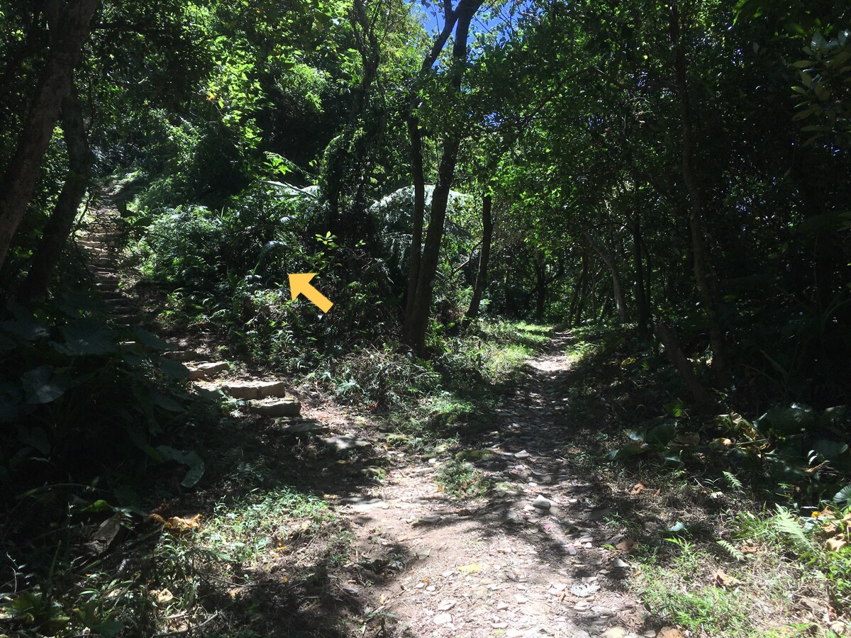
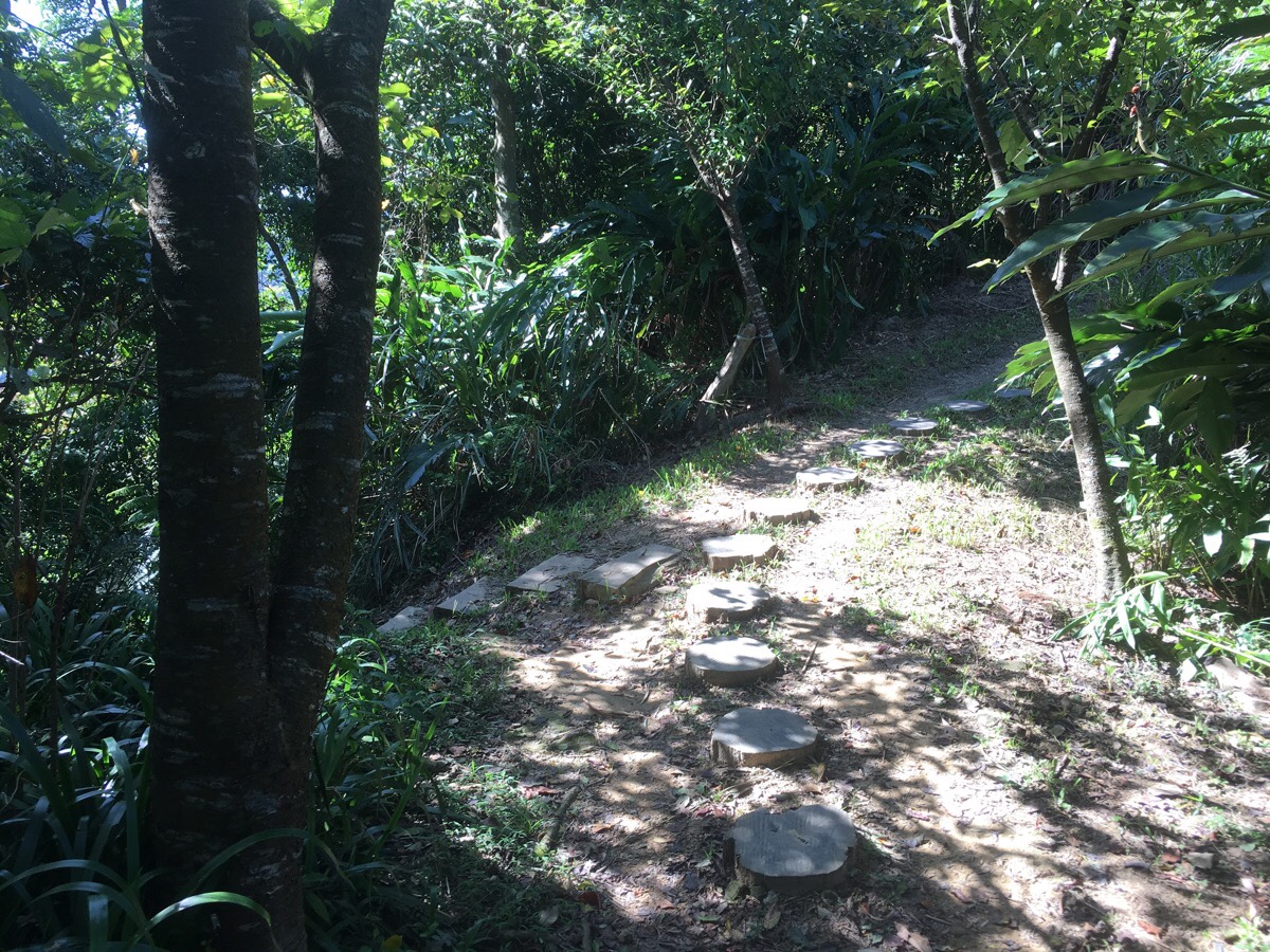
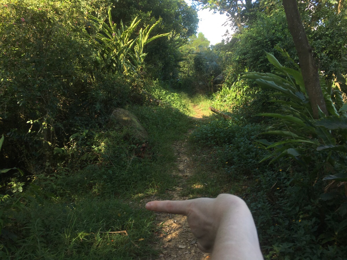
Leaving the view and the memorial stone behind, the path keeps climbing through some land that has been reclaimed for faming. Right where the woman is in the above photo the path splits. I took the path on the right as it seemed to hold more potential for views, but they both converge again** in around 5 minutes.
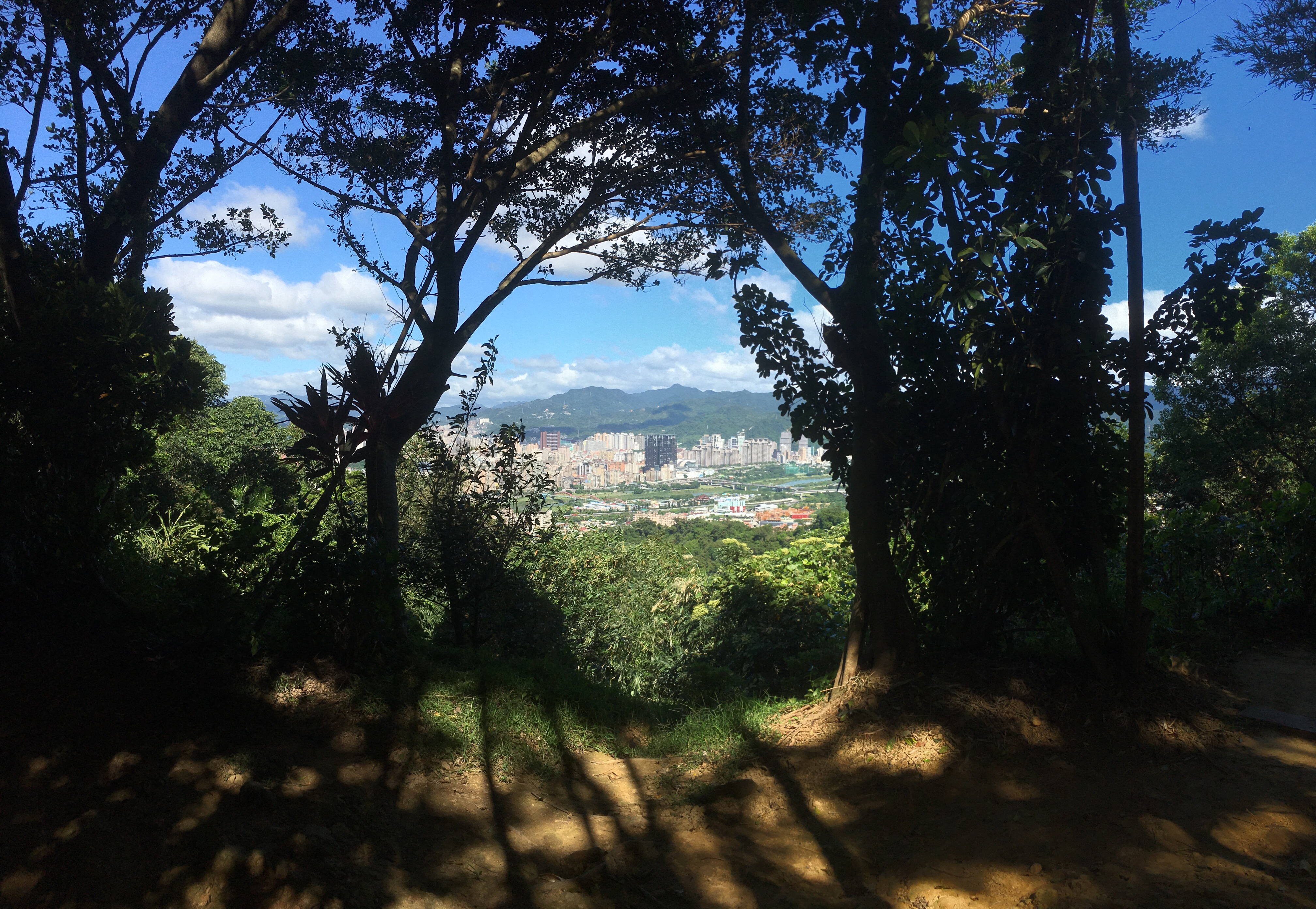
It was the right choice – just short way up I got a lovely peek at the view through twin gaps in the hedgerows – greenery framing the city for me. Then a little further up is the 鄧公嶺/Denggong Ridge Pavilion and viewing platform there is another good lookout point.
**The path goes down a short way and the other branch of the trail rejoins on the left.
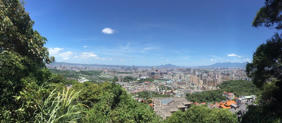
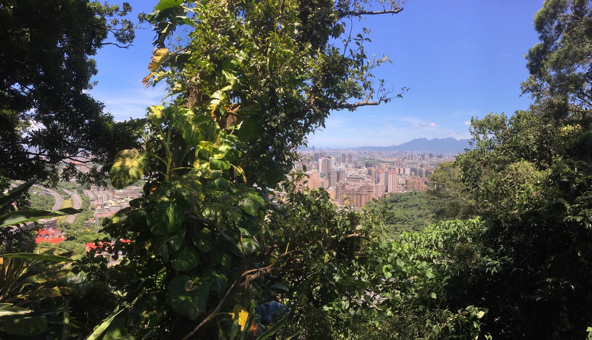
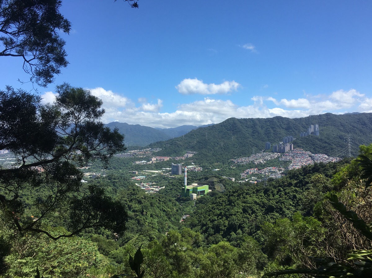
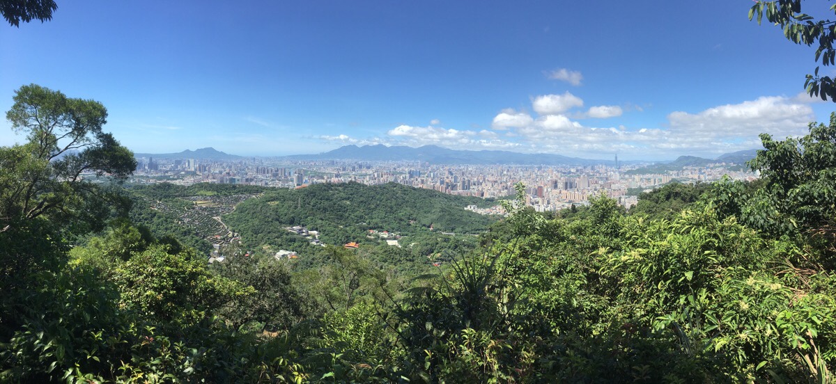
A little further along there was another area where the trees opened up and I got a good look at the city. I don’t often get to see it from this angle and it was interesting to spot all the landmarks – especially given how wonderfully clear the air was. In the far distance, the peaks of Qixing Shan and the multiple humps of the Datun mountain range sloped down towards the Tamsui River – intruded upon by the very prominent housing development at Xiaopingding. Smaller than the Yangmingshan Park peaks are the lines of Guanyin Shan which rise just to the west of where the Tamsui River joins the ocean. What surprised me the most though was that it was possible to see as far as Linkou, which from here appeared as a clutch of high-rise buildings perched atop a hill – it is clear to see why Linkou is so commonly shrouded in cloud. Further to the left and behind the ridge that rises up from Shulin to Datong Shan I noticed a whole load of strange angular shapes jutting up into the skyline, it took me a while to realise that I must be looking at a shipping container yard, but frustratingly I really can’t work out where it was I was seeing. (Please let me know if you think you have the answer.)
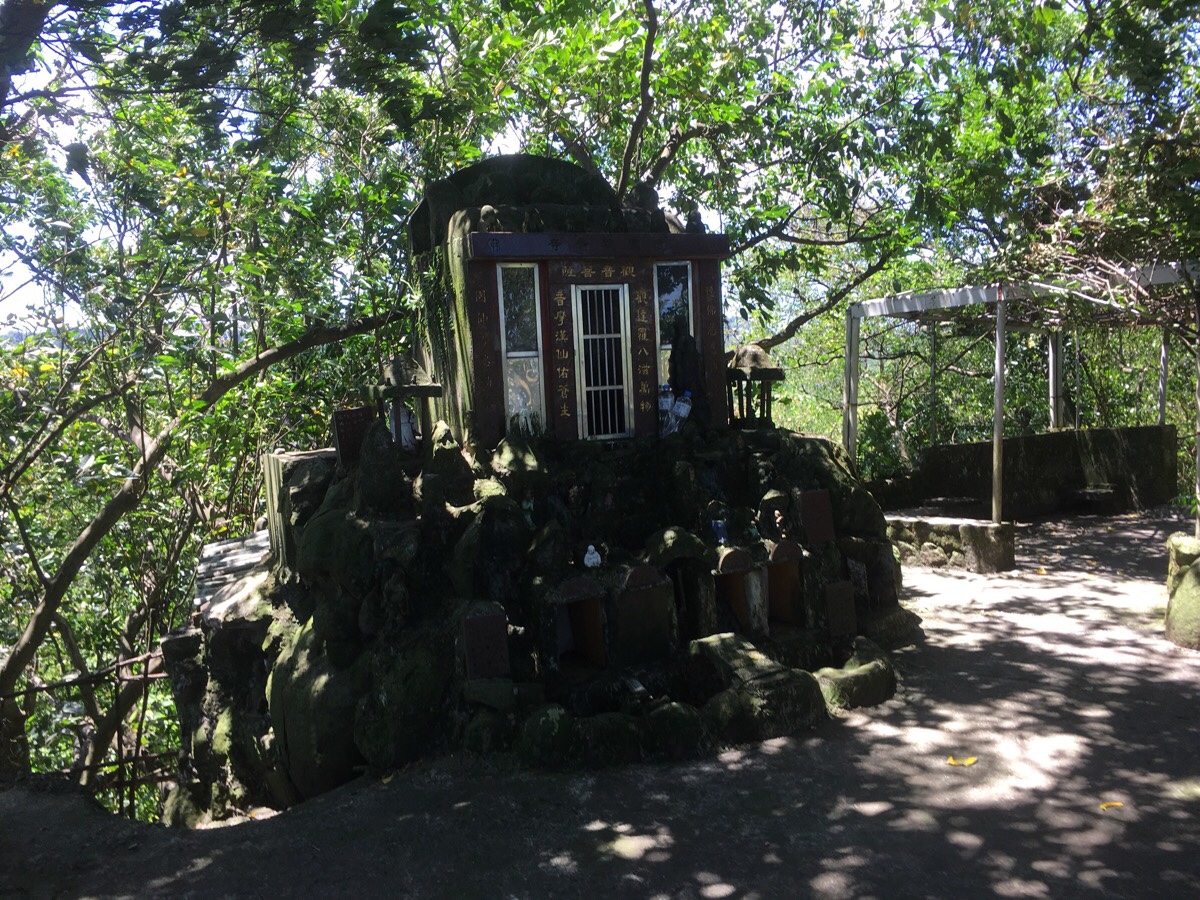
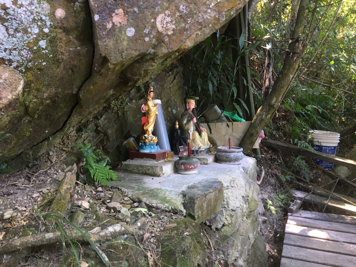
The next point of interest is another small shrine, this one – dedicated to Guanyin – had many little figurines of deities cemented into the surrounding rocks.
A brief downhill walk away from the little shrine the path splits in two. Actually both routes can take you to the same place. I took the left path and walked up behind a larger temple, (Renci Buddhist Temple), then turned right keeping the temple on my right, but if you take the lower path, you’d have to bear left and keep the temple to your left.
This one is taken just as I came down from behind the temple. You have to kind of walk down to the front and then find the steps leading up to the left.
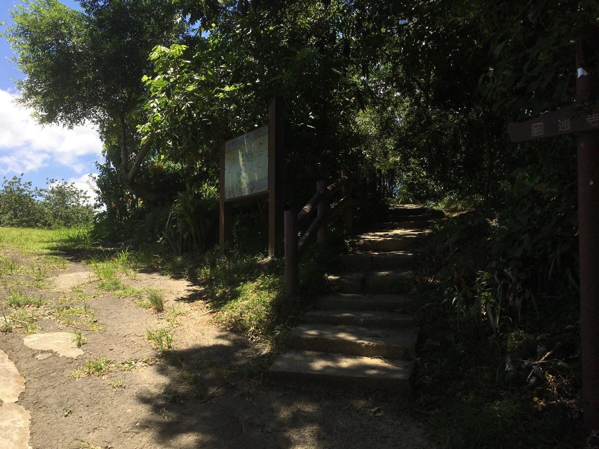
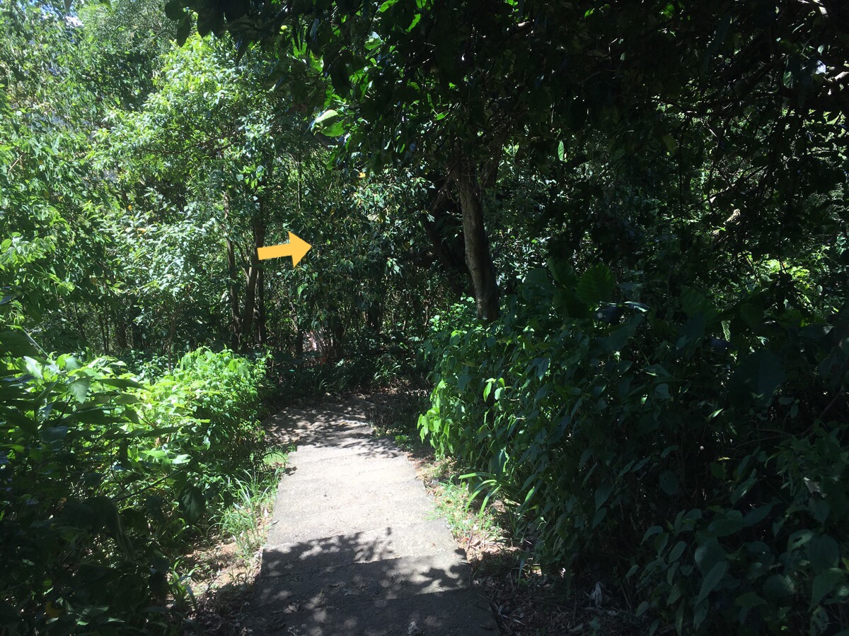
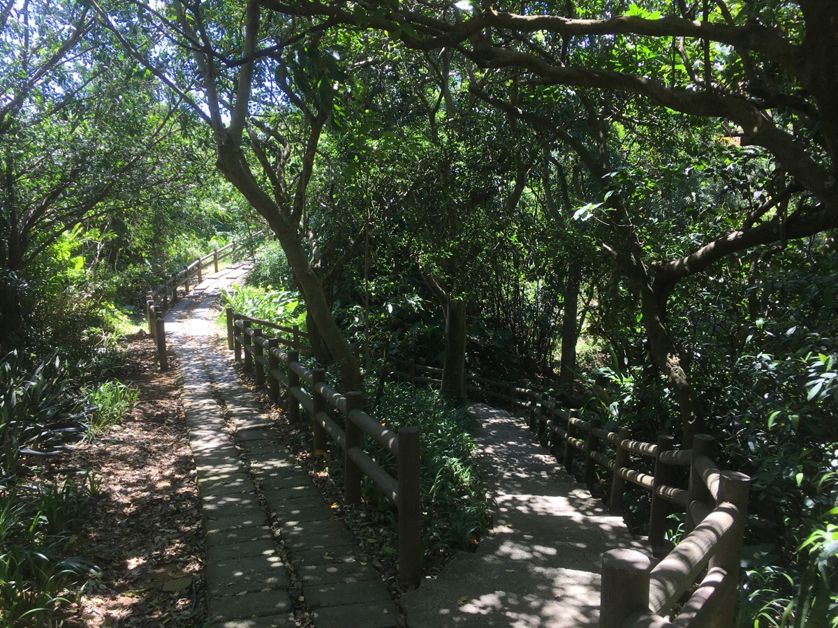
There is a map at the entrance to the steps, (with an arrow pointing back along the path I’d just come from). The trail runs parallel to the road for a way, but stays on a ridge just above it.
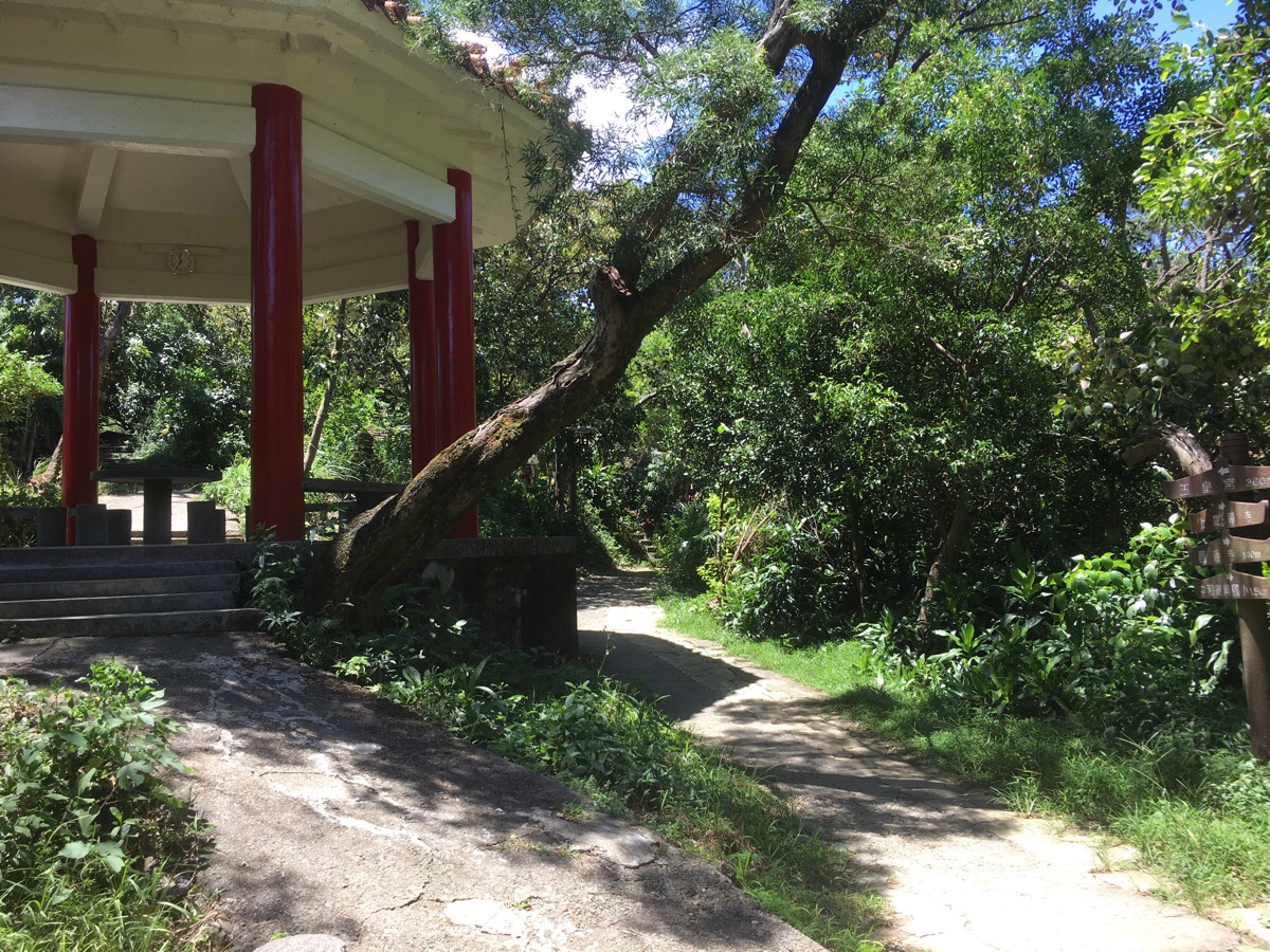
A red-roofed pavilion marks a meeting of junctions – I think this is where a lot of people start to head back down to the city and a lot of the blogs I saw diverged from my path here. My goal was to complete a loop though, so I took the left path through the pavilion and then through a collection of very well-established mountain dwellings and vegetable gardens. These shelters looked so well-equipped that they could be mistaken for proper houses. Competing radios from either side of the trail filled the air with music, and although no one was speaking, the purposeful click of chess pieces told me that these people were masters in the art of enjoying your free time.
Walking away from the gardens the path follows a kind of ridge with the valley to the left and some badminton courts to the right. Then it dips to join a road. I was a little unsure as to where the path goes here because it wasn’t really marked on my map as being a road and there was also a small trail leading off the path to the left. I asked a guy who seemed to be jogging backwards and forwards on a 50m section of the road and he said that I could head up the road but that it didn’t go anywhere so I’d need to come back the same way. I decided to go and take a look for myself since the path seemed to head that way on my map.
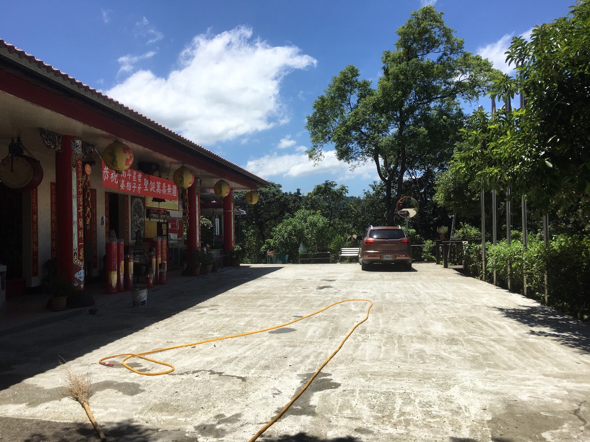
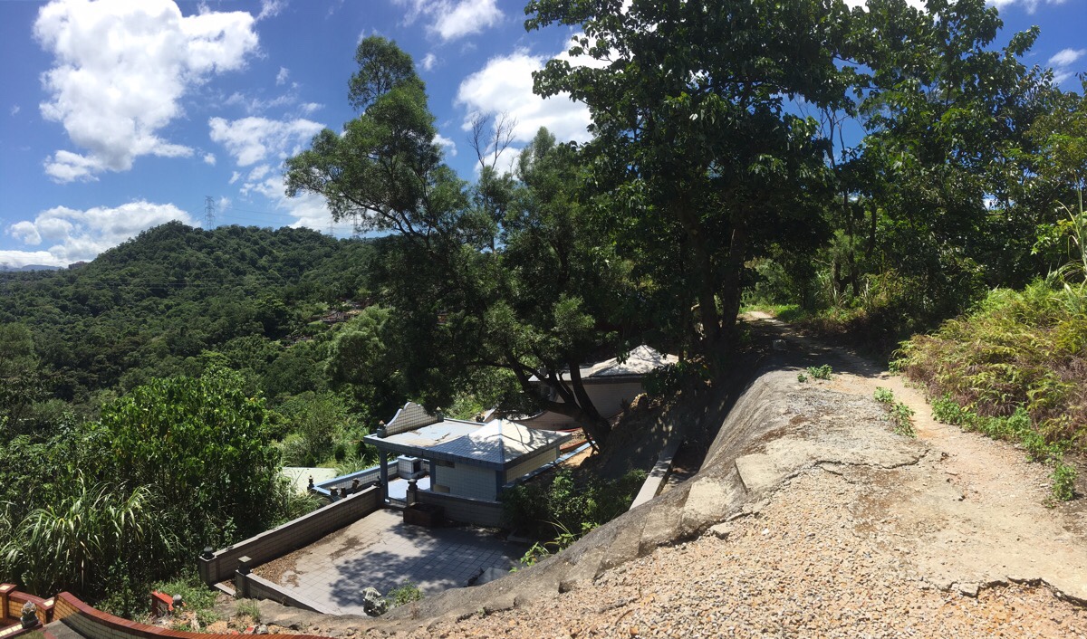
The road ended at another temple, (Yonghe Jade Palace Tiangong Temple). You know that commonly repeated not-quite-truism that you’re statistically never more than six feet away from a rat? Well this area of Taiwan is so temple-dense that I feel you could replace the word ‘rat’ with ‘temple’ and it would work.
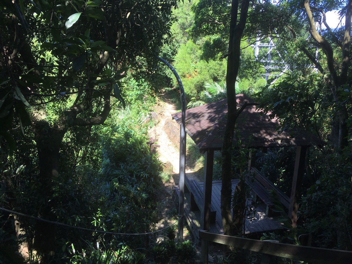
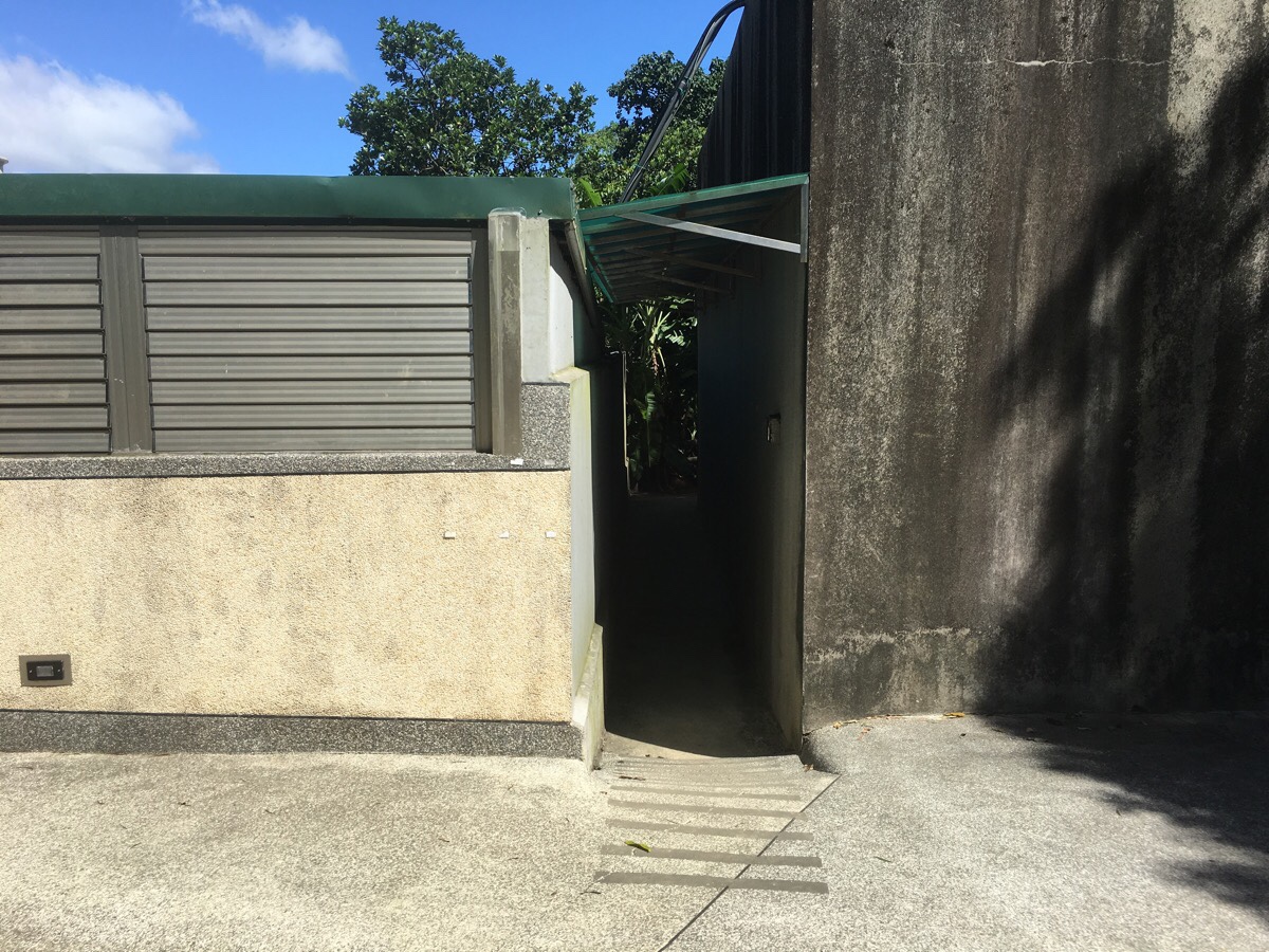
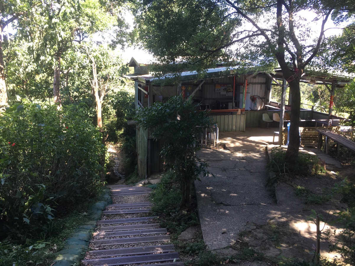
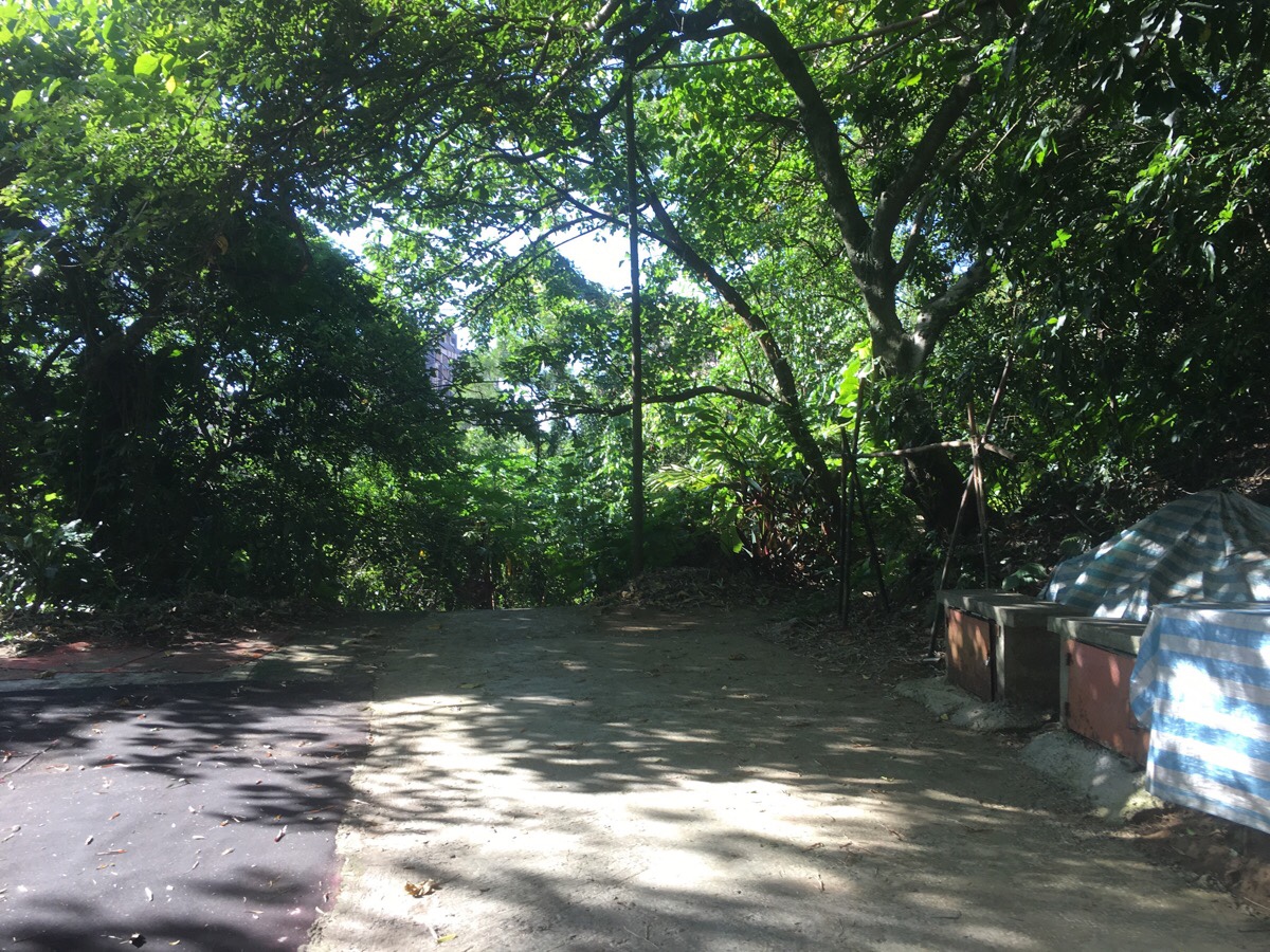
I walked all the way to the end of the road and saw a trail headed down right at the far end of the temple. The open space beyond the temple seemed to function as a kind of food preparation and there was a number of people sat around tables chatting. There was also a toilet tucked away next to the steps.
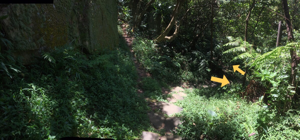
Just down from the shelter there is a huge rock face the path kind of splits – I went down a little and then immediately left. If you look back over your left shoulder about 10 metres along the path you’ll notice a collection of tall standing rocks. (I vaguely remember there being a second trail leading off on the right quite soon after the rocks.)
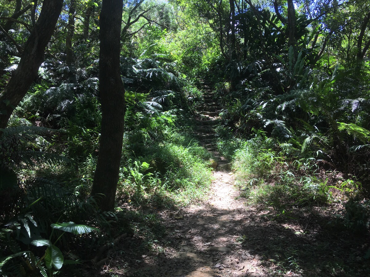
Next there are two trails on left to ignore. One was just before these steps heading up and the second was after. Once I was up on the ridge again the immediate landscape was kind of strange. The path followed a kind of channel funnelling between narrow raised banks. I really don’t like the feeling of this type of trail, my overactive imagination means I always imagine predators lurking in the undergrowth to either side. For this reason, although I was curious about how it had come about, I was happy to get out of the passage.
A little further on, there is an impressively upcycled, (or maybe downcycled) portaloo constructed of palettes and the sheets of plastic that are used for political hoarding come election season.
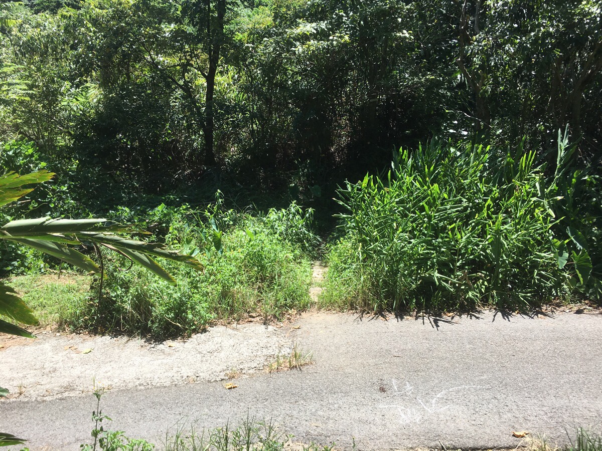
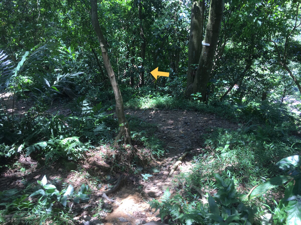
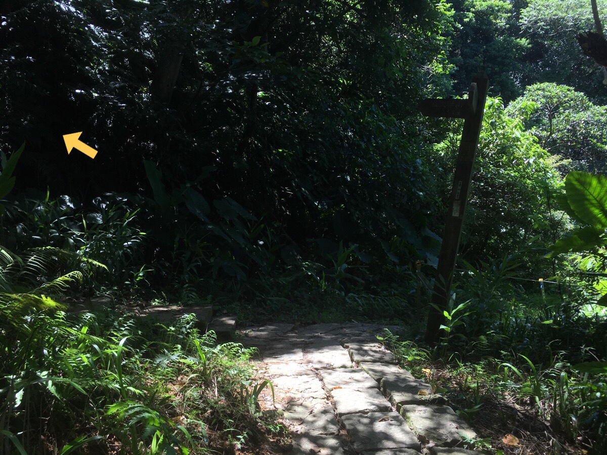
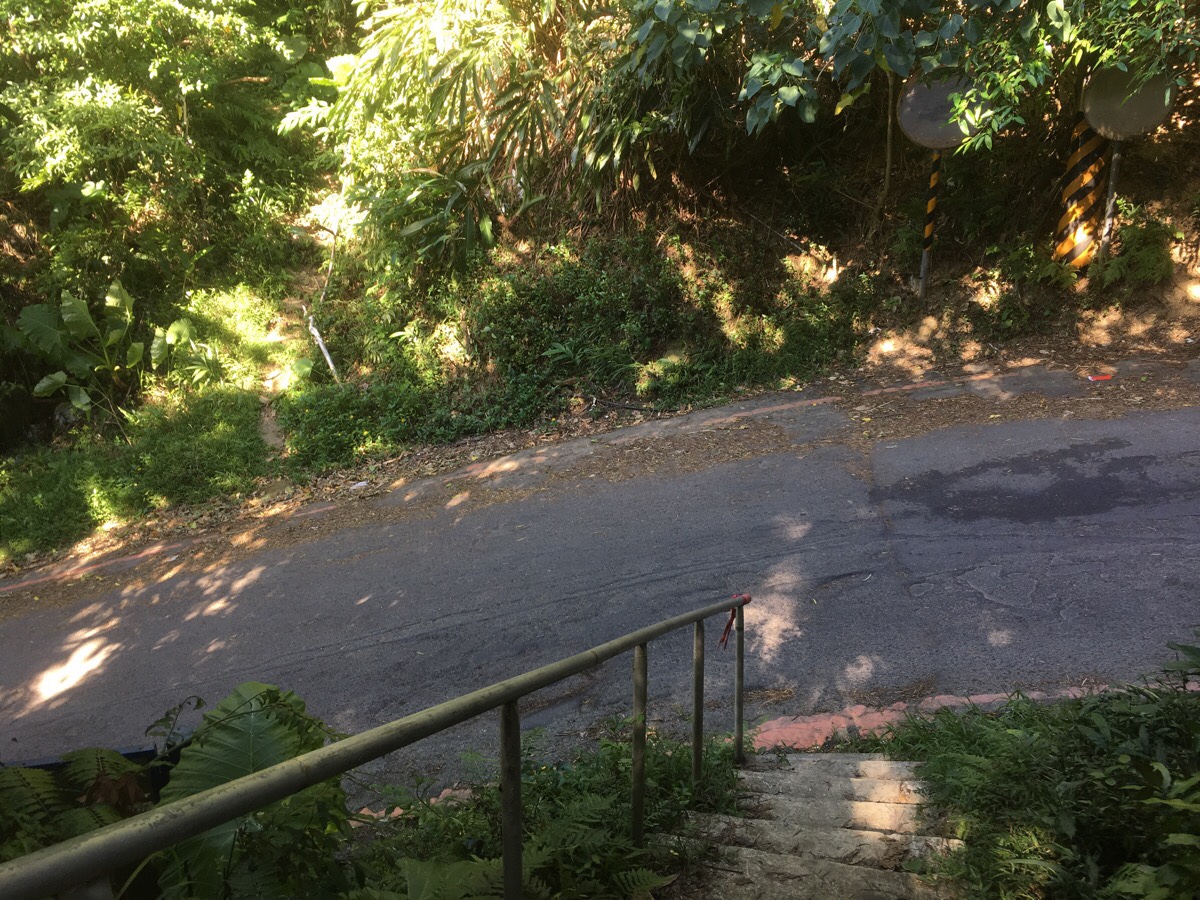
After the toilet, the path heads down a few steps and then straight over the road and up a small path on the far side. There was a sign indicating as much on the side that I came from, but it was almost overgrown.
The path got a bit less overgrown after climbing a little way, and I saw a tiny little tree frog in the trees when it leapt across the trail. On a slightly more open section as the path climbed a bit I either knocked my umbrella on a branch, or else something (bird? Giant grasshopper? Flying frog?) made contact with it. I’m pretty sure it wasn’t me being clumsy, but I have absolutely no idea what happened. There was a sound, I felt the pressure of something pushing on it briefly and then everything was normal. Usually I would lose my shit over this kind of thing, but if it was some animal I encountered, then it was very clear that it was far keener than me to escape the situation, and so my heart rate returned to normal pretty quickly.
The path peaked briefly, and as it turned to head downhill, I encountered the first person that I’d seen for quite a while. We nodded in acknowledgement of each other but said nothing. Where the path levels out, there’s a junction and I headed left. There was a tap right next to the junction with a small bowl. I made use of the water to wash my face and cool down a little.
The next place of note was a cemetery. At the time I felt like I was walking along the top of a small place, but from looking at the map later, I realised I was right at the bottom of Shi Shan Xianjing Cemetery. The graves extend much further to the right of the trail. (I also realised upon looking at the map that all the barking I could hear was probably/possibly coming from the relatively nearby animal rescue shelter.)
The path soon joins a short road where I kept straight on, following all the graves with a view of the valley to the left until the road runs out.
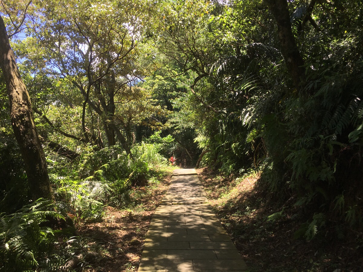
The track ends at a paved path, and from here the path is wider most of the way.
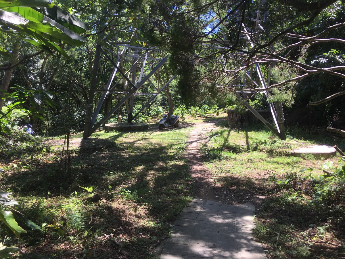
About five minutes after walking out of the cemetery the path led me down into a clearing with a pylon and two parked up scooters. To me there’s something vaguely ominous about finding scooters parked up in these very out of the way places (that overactive imagination again), the absence of their riders is unsettling. But of course, (except for that one time on a remoter section of the Taipei Grand Hike), I don’t think I’ve ever really had anything to worry about.
The trail leads through the pylon, and then immediately after that it takes a left up some steps. At the top of the steps there is another path branching off to the right which I ignored. A short while later there is a track sloping down to the left which I also ignored, and then a third trail heading off to the left, (this one signposted towards 牛埔頭山). Basically it was just a case of staying on the paved trail and not taking any of the side routes – although it would have been possible to take the Niuputou/牛埔頭山 trail since it met back up with the trail I was on at a later point.
At a T-junction I headed uphill following the sign towards 文筆山. The path edges past another pylon on the way up.
A couple more paths join from the right. Then the path from Niuputou rejoins on the left.

At right around this point I reconnected with my own footsteps tracing ground covered in the opposite direction from the first time I’d attempted to walk this loop. I’d got as far as this junction then turned back to catch a bus because of the weather closing in and because I didn’t have the energy to deal with (my fears around) finding a rough path on that occasion.
(2022 UPDATE) Take the trail on the left. (The right leads to a private gated community, don’t go in there.)


Take a right when you hit the road and follow it past a house or two.


Just after leaving via the steps, the path splits and I took the steps on the left leading up.
Very quickly the trail started to give me some great views. The green blocky building in the centre is Xindian Refuse Incinerator, and somewhere south beyond that ridge lies Wulai.
Despite this being the second time I’d walked this route, I still found things I hadn’t seen before. Like this tiny shrine hidden awkwardly under a large rock on the left of the path. I also had forgotten just how pretty this section of trail is.
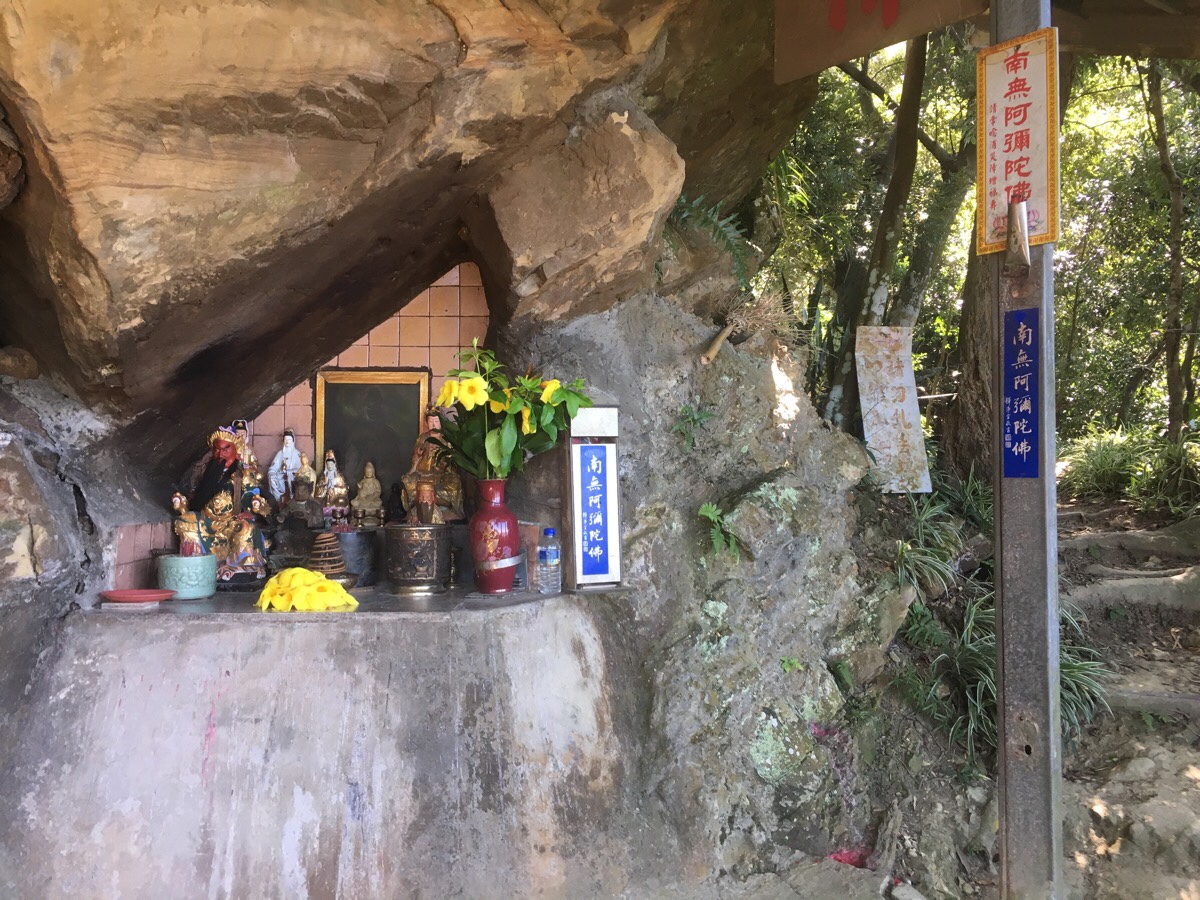
This was one of the shrines I did remember from my first walk – I found the shape and location of it just as satisfying this second time around.
At a crossroads a shelter has been set up. I sat here a while to snack and have a drink before heading straight over.
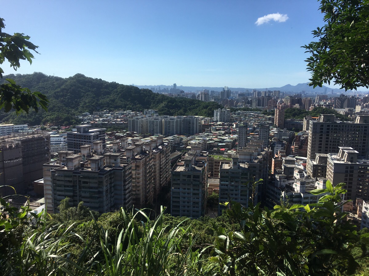
Now the trail switched to showing me vistas to the north. The whole of Taipei spilled out over the landscape between here and the mountains of Yangmingshan Park.
A fork in the trail marks the point at which you have to choose if you want to head to Hongludi Nanshan Fude Temple or just skip it. If you haven’t been before, you definitely have to pay it a visit. This temple commands some of the best city views and it has toilets and water machines too. I wanted to make use of their hot water to get a coffee, so I took the path on the left heading up.
Right where the steps come down into the temple complex, there is a narrow alley on the right between some buildings. This is where you will need to return to to continue the walk.*
The path leads you in from behind the temple with the main building on your right.
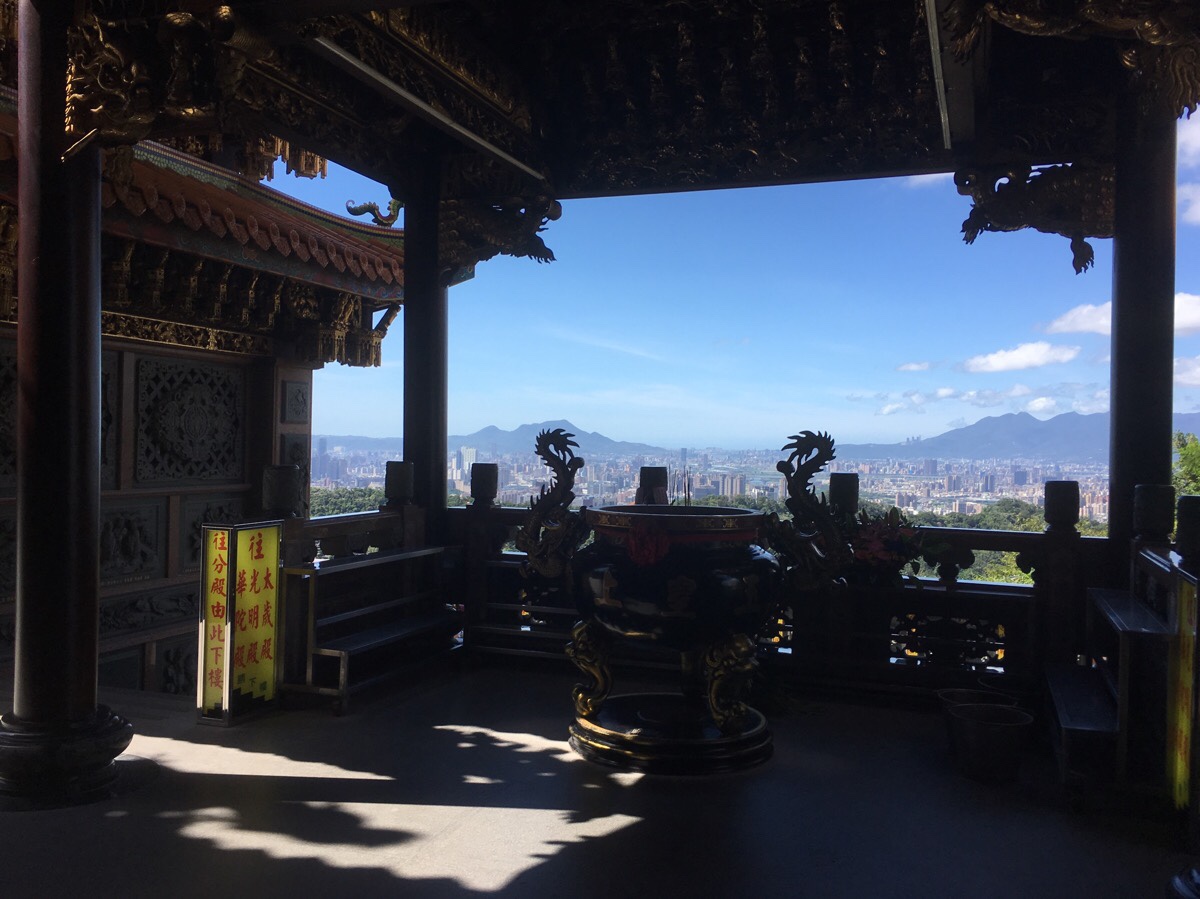
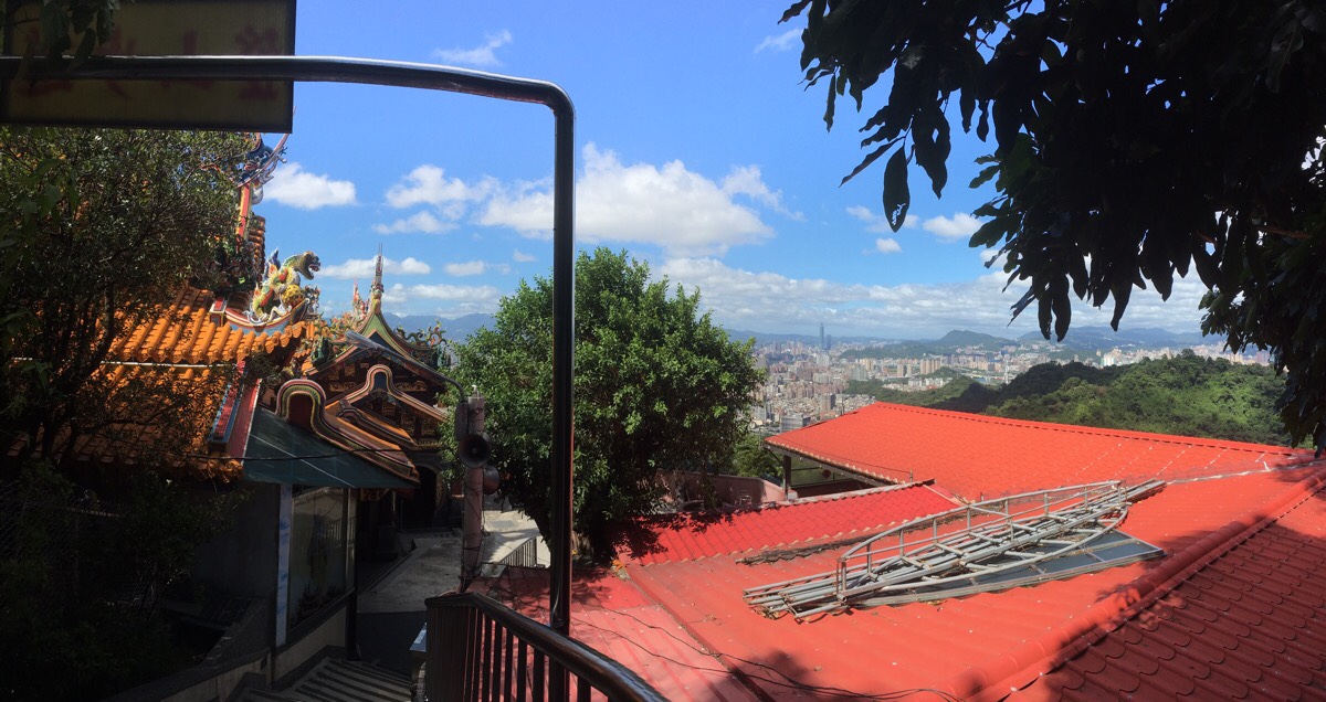
Crossing in front you get to see the wonderful views that the gods here are treated to every day.
I continued on into the courtyard area where the sinks, shop and water are. Here I made a coffee and sat for a while to enjoy it.
*When ready to continue, I picked up the trail from where I had left it at the entrance to the temple buildings.
Very soon the path that I could have taken to avoid the temple joins from the right, just as the trail passes a shelter named 好地方 (good place).
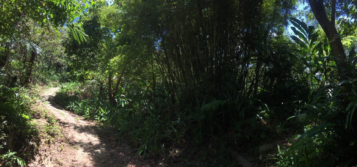
The paths around here are varied and not really signposted. However, as a general rule you need to stick to the ‘main’ trail and on the ridge. If you’re worried, it would be worth downloading the GPX route. In the above photo, the path heads straight over.
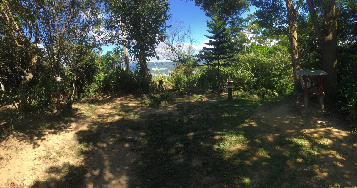
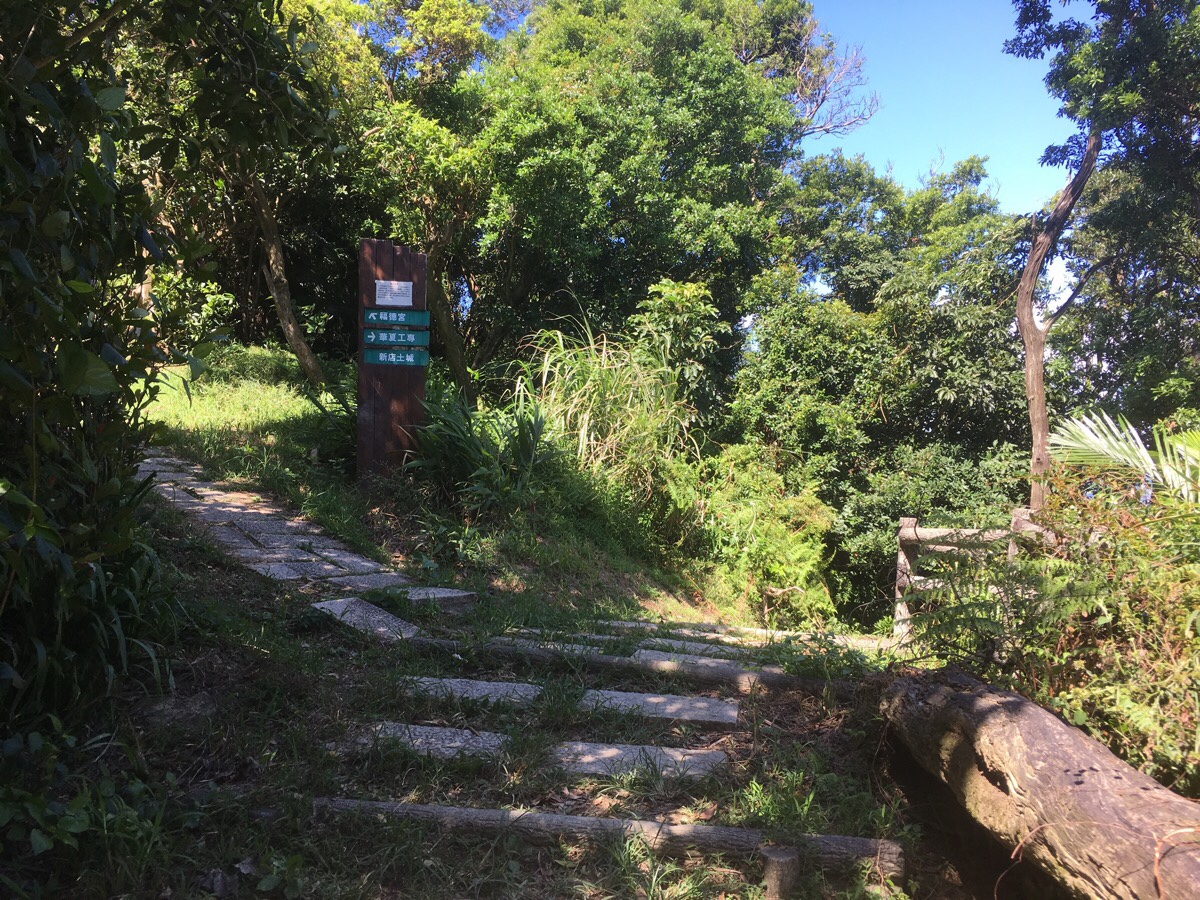
I stopped at the clearing with some benches and a teapot to drink some tea and have a brief chat with another passing walker. Then I followed arrows pointing left downhill towards 華夏.
Not far downhill from the teapot there’s a turnoff on the right to ignore.
And then a second on the left.
Another junction where the trail keeps to the left. A couple of metres up from here there is a view to the right of the path.
At the next junction both left and right are possible, I headed right, but the paths rejoin within metres.
Here both straight up and left are possible, the left route is significantly steeper though and the paths diverge for quite a way**. I headed straight up the steps. Not much further up there is a shelter which has some resident stray dogs, one barked aggressively, but I’d encountered the same dogs a couple of months earlier and I knew that they weren’t actually aggressive so I stopped moving and talked to them the way Teresa always does. It worked a treat. They started wagging their tails and forgot all about the barking. I know there are aggressive guard dogs in Taiwan that you need to be careful around, but pretty much all the dogs I’ve met on these kinds of well-trafficked trails tend to be noisy but gentle, (although it’s taken me three tears to feel confident enough of this fact to hold my ground, and even still my heart rate shoots up each time I have an encounter).
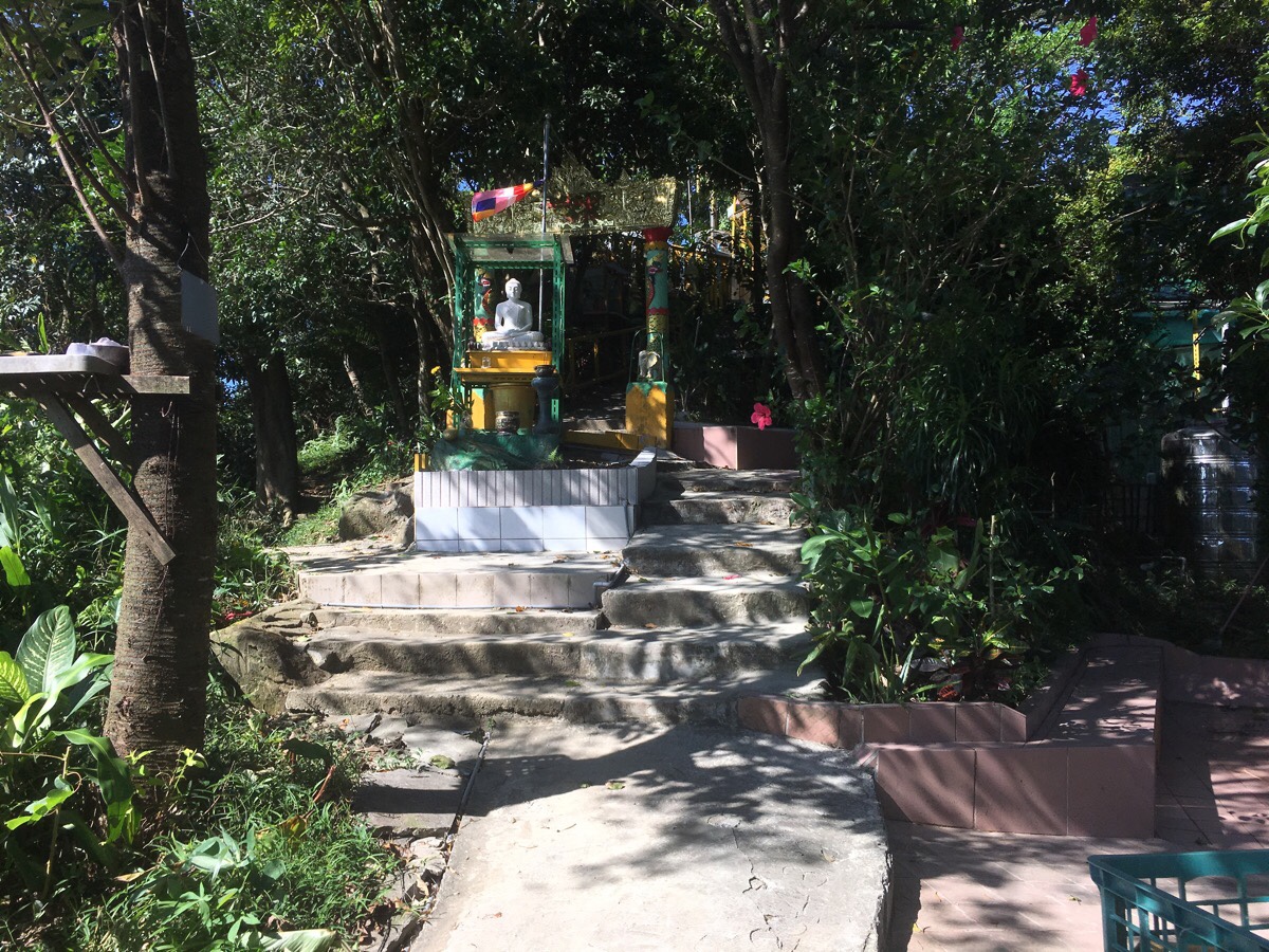
The next temple the trail passes is dedicated to the Eight-faced Buddha. A man working on the gardens wanted to tell me that it comes from Myanmar – I imagine that the proximity of this and Yognhe’s ‘Little Burma‘ community are not coincidental. After saying bye to him, I kept moving, following the trail leading down to the left of the temple. (Go up an have a look if you’ve not been before though, this style of temple is unusual in Taiwan.)
Keep heading downhill, then at the next junction it’s left again and through some farmland.
The path passes under a building built half on stilts and half into the side of the hill. Then immediately afterwards take the path heading down rough steps on the right. It’s hard to see the turning until you’re actually on it, so make sure you’re paying attention
At the bottom of the steps the path splits again. Head right and keep going down towards the road.
**The path on the left is where the steeper path from four pictures ago will bring you.
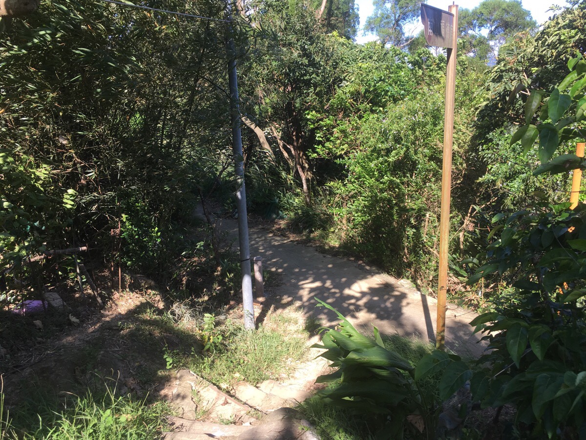
After descending to the small road, the trail immediately crosses over and heads up the far side. The path here isn’t so well kept, but it’s clear and easy to follow.
Upon reaching a small peak, you get a view over towards where this walk started out as it climbs towards Flag Ridge.
There are two ways down from here, either go straight and just follow the path down, or go left down some steps here. (This is just after a view out to the right of the trail which looks over the freeway.) I went left down the steps.
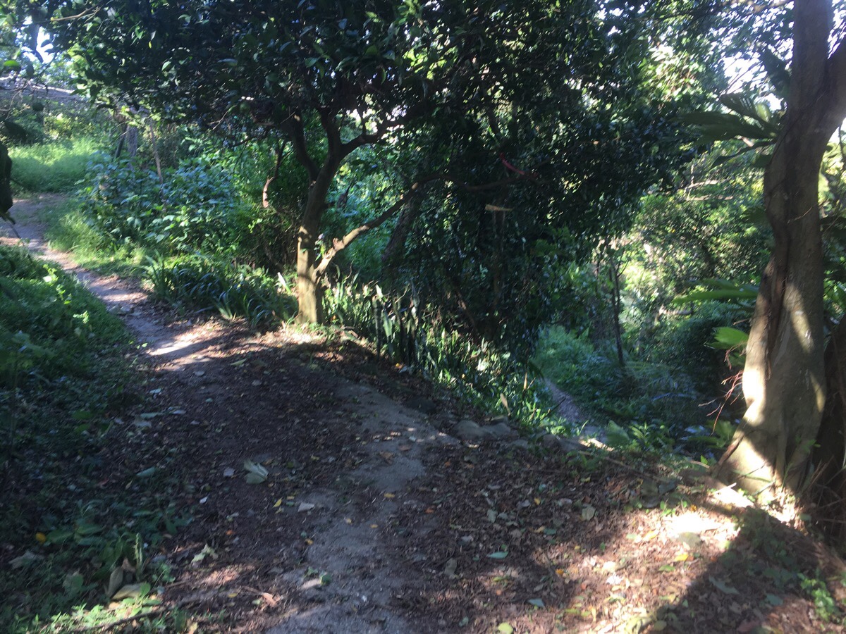
Immediately at the bottom of the steps I headed right. The trail passes through some farmland next to a shelter which has housed old men playing mahjong every single time that I’ve passed.
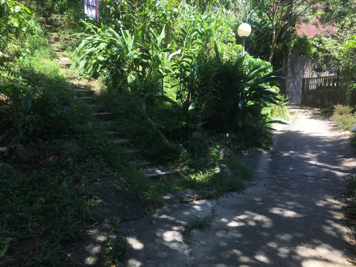
After leaving the farms, the path turns to a concreted trail. Here I kept straight and headed down the track in the centre of this picture (you can’t really see it in the picture).
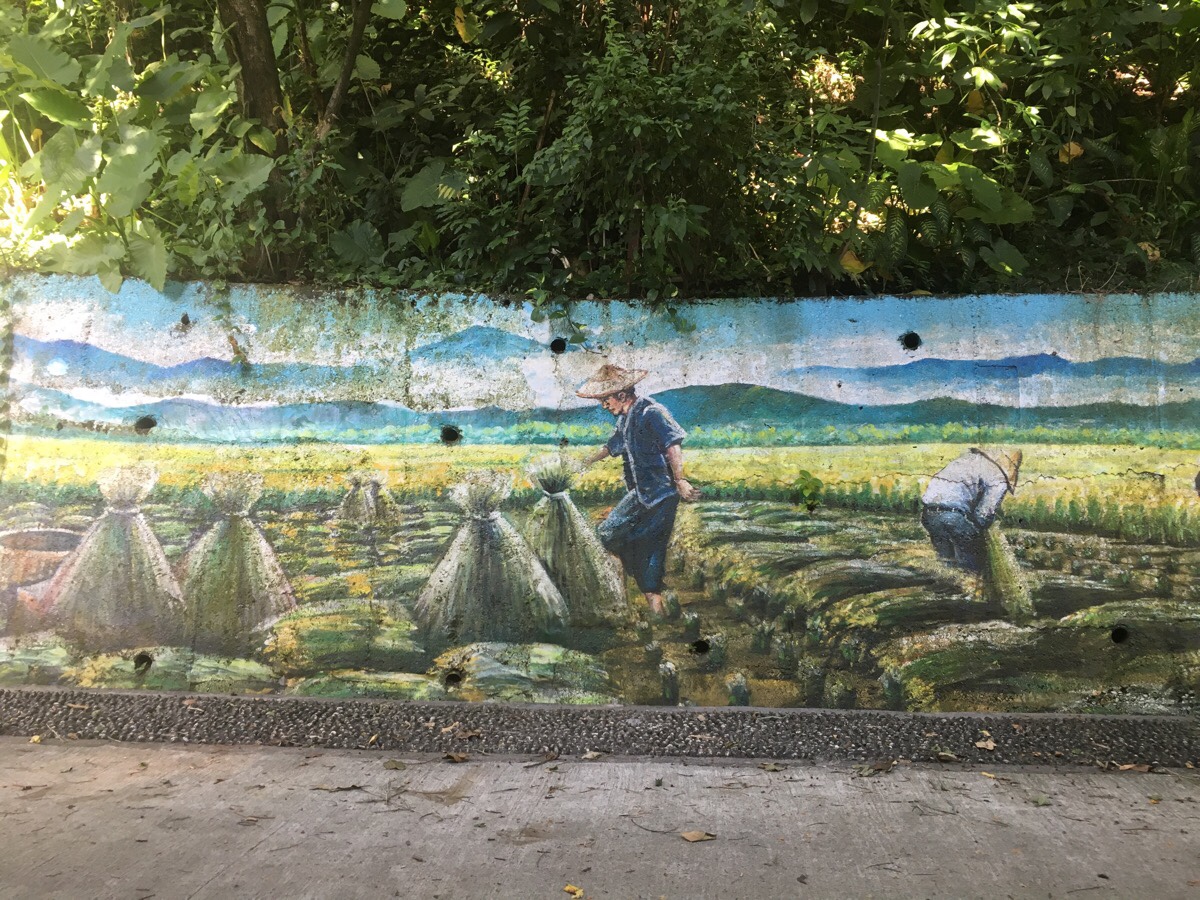
The trail turns into a road with a long mural depicting the season’s of farming (I think). The road is Alley 39, Lane 496, Jingxin Street and it curves downhill. Someone in this community has attracted soy milk container plant pots to almost every utility pole.
I crossed straight over Lane 496 and went along Alley 28.
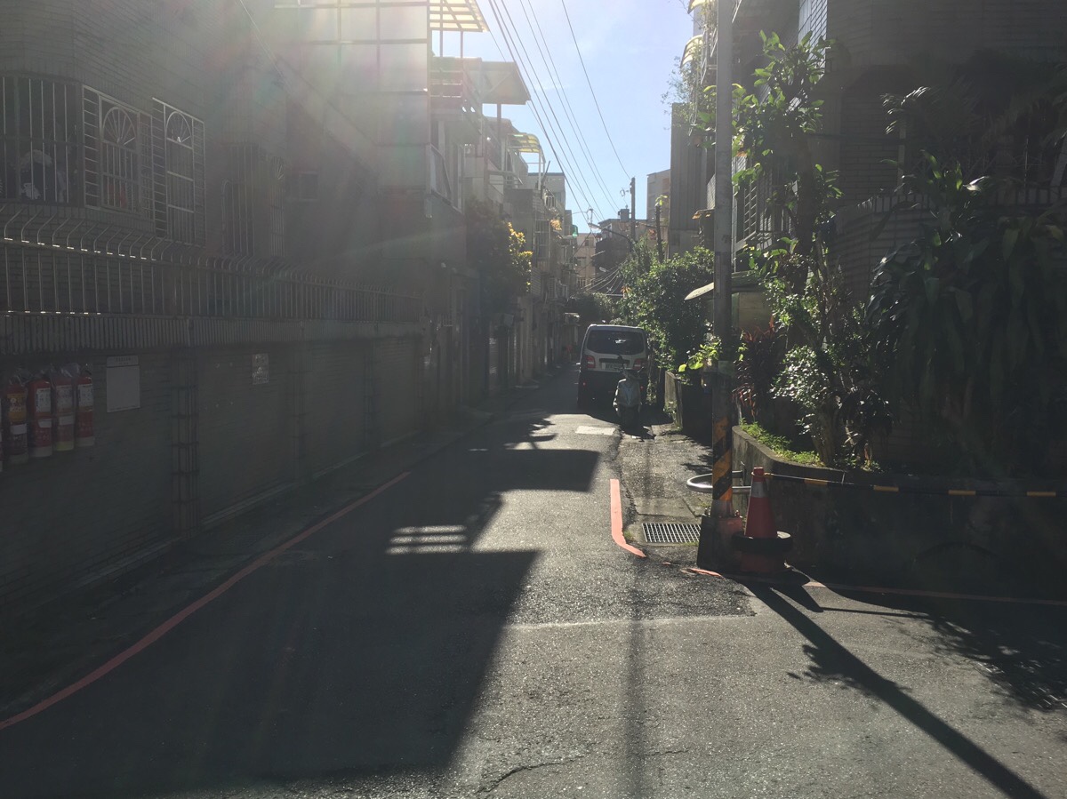
Then at the end of Alley 28 I turned right towards all the shops.
After getting back to the main road it was just a case of following Ren’ai Road all the way back to the station.
How to get there
Google Maps address: the walk starts and ends at Nanshijiao MRT Station.
GPS location:
- The Flag Ridge/Guoqi Ridge/國旗嶺 trailhead is in a carpark at N24 59.250 E121 30.210.
- The place where I left the trail is at N24 59.092 E121 30.850.
- There are also multiple other entrances, particularly at the start.
Public transport: the MRT is extremely convenient for this walk.
My new words learnt on this hike:
- 國旗 / guóqí / national flag
Zhonghe Loop Walk
GPX file available here on Outdoor Active. (Account needed, but the free one works just fine.)
This is the bit where I come to you cap in hand. If you’ve got all the way down this page, then I can only assume that you’re actually interested in the stuff I write about. If this is the case and you feel inclined to chip in a few dollars for transport and time then I would appreciate it immensely. You can find me on either Ko-fi or Buy Me a Coffee.

Hi,
Thanks for detailed explanation and GPS files!
After signs that you mentioned about “No entrance”, trail ended with a locked door and razor wire fence. Now that private community is taking trespassing seriously I guess.
However I was lucky enough, after around 10 minutes of waiting an old guy let me in and I could complete the loop. Other fellow hikers may look for another way around or expect for a resident coming as I did 😀
LikeLiked by 1 person
Thank you for the information, I plan to walk a route in the area over the coming months so I will see about updating the information. Looking at the map it seems like you can take a left turn down to a road just before entering the private area and then rejoin the trail beyond the housing estate.
LikeLike