Distance: about 6.5km if you discount the extra 500m or so I did when I was planning to continue the walk. That number includes walking to and from public transport.
Time: 3½ – this time includes my diversion and a rest stop at the big temple. I’d say it’s about right though.
Difficulty (new Taiwan hiker): 2.5/10 – the trails are a bit of a maze, but the walking is easy enough.
Difficulty (new Taiwan hiker): 5/10 – almost all of the difficulty here comes from poor signage. As well as that, a lot of the walking surface is really uneven and in some cases the measures that have been taken to provide steps have actually made it harder to walk, (think half rotten wooden slats and metal rods sticking out of the dirt and hidden by plant growth). For these two reasons I would rate this as being a little more difficult than easy. However, for a seasoned Taiwan hiker it should be a piece of cake.
Water: 1L at the start – I did this walk knowing that is be able to refill my bottles part way. Likewise, if I’d carried on, I would have bought more at the OK Mart that the trail passes later on. Totally, I probably consumed about 2L total on a hot day.
Shade: dappled shade for much of the way, but enough to burn someone like me.
Mobile network: pretty much perfect throughout – I’m more conscious of signal when in by myself and I didn’t have any need to worry.
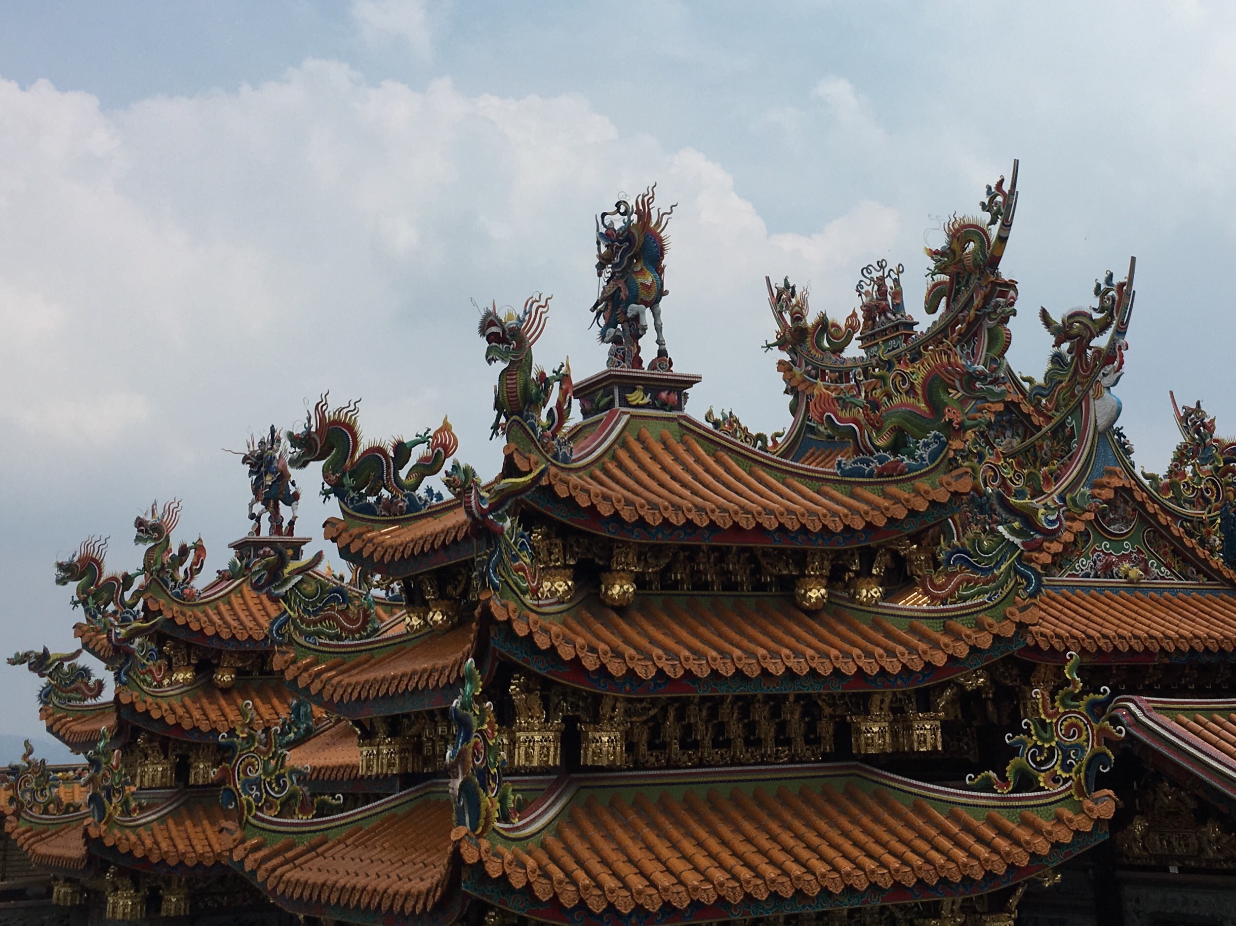
Enjoyment: Perhaps because I was by myself, and perhaps because I was unable to complete the loop that I wanted to complete, this walk didn’t quite satisfy me. Having said that, it’s a pretty impressive temple to walk up to, and the feeling of visiting somewhere that’s clearly a popular place on a day when there are almost no people there was really quite cool.
Other: I was glad to be wearing long trousers since there were parts of the trail where the plants had taken over.
Jump to the bottom of this post for a trail map, GPX file, and transportation information.
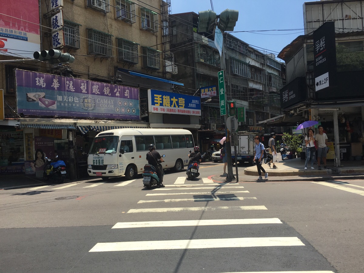
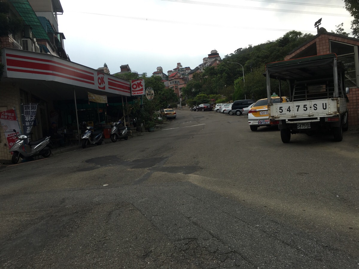
There’s a bus from the MRT station, but you may as well start how you mean to go on and walk. Taking exit four, cross the and head down Ren Ai Street. I stocked up with water and extra snacks along here.
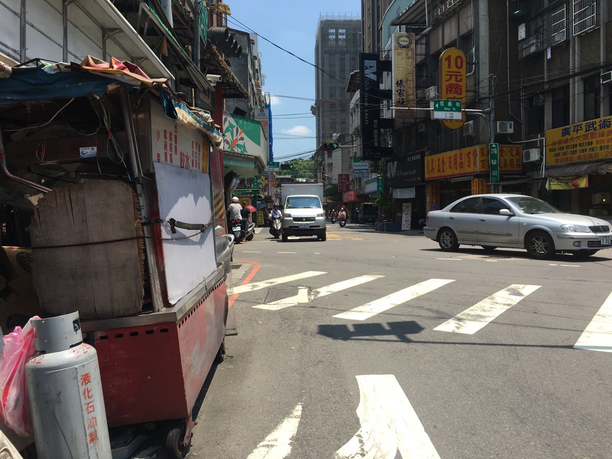
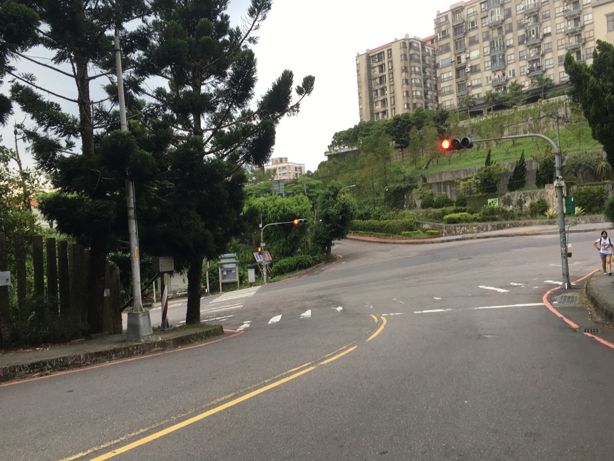
At the junction with Siwei Street turn left.
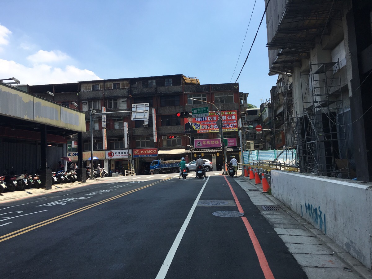
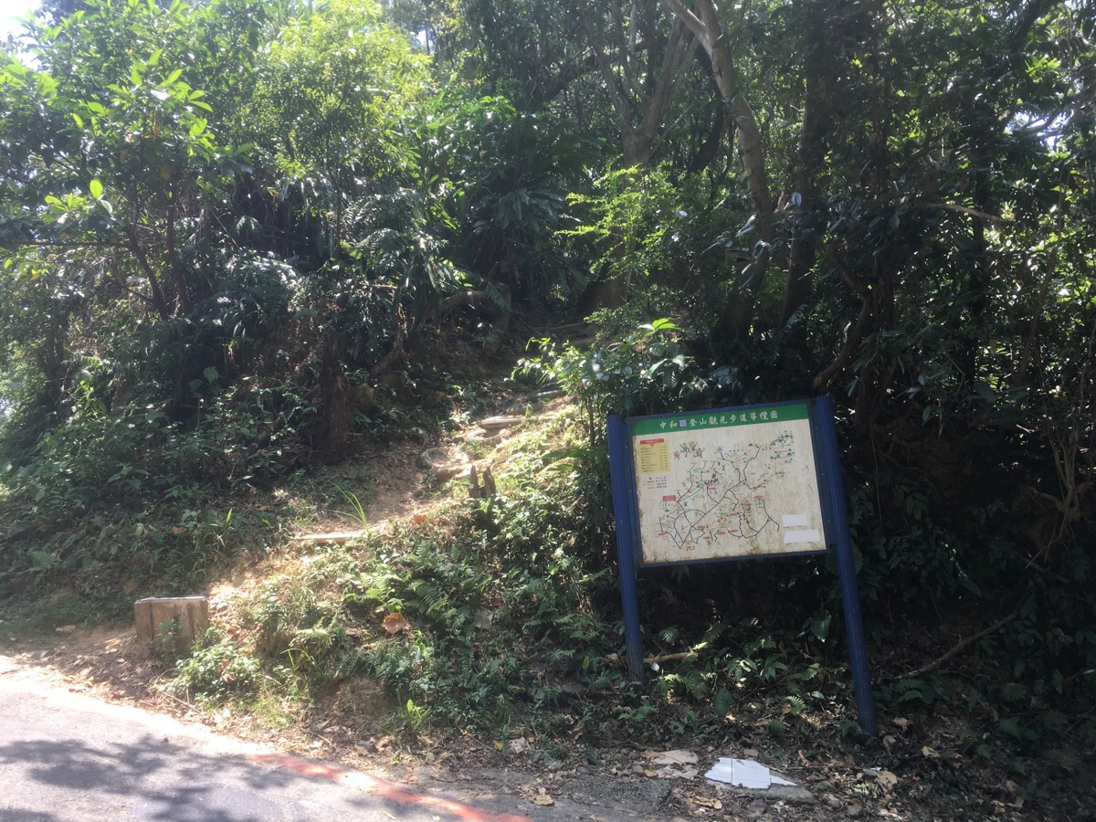
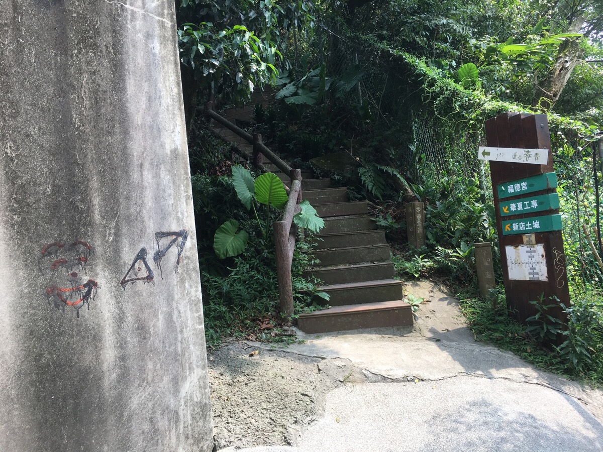
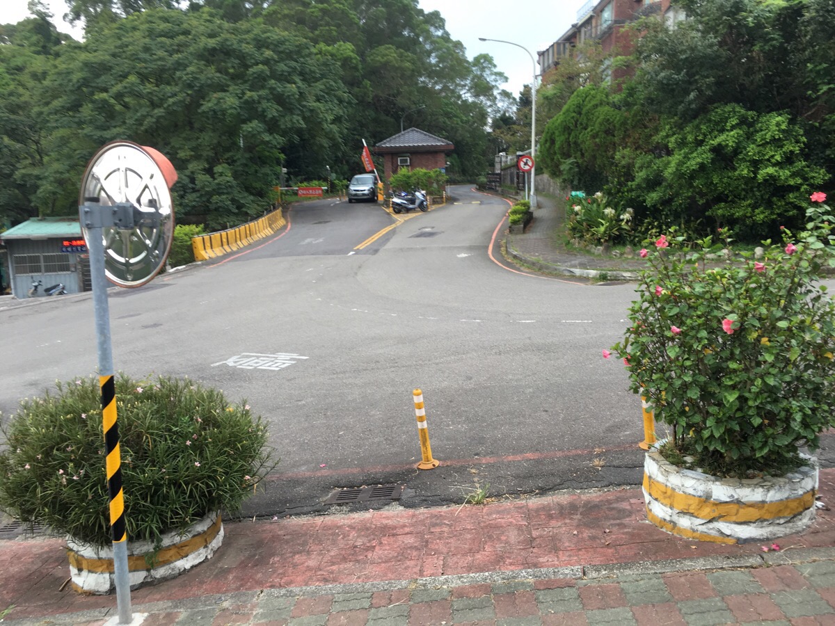
Siwei Street soon terminates at Jingxin Street where you need to turn right. Keep walking on Jingxin Street for about 200m until you spot the trail map on your right.
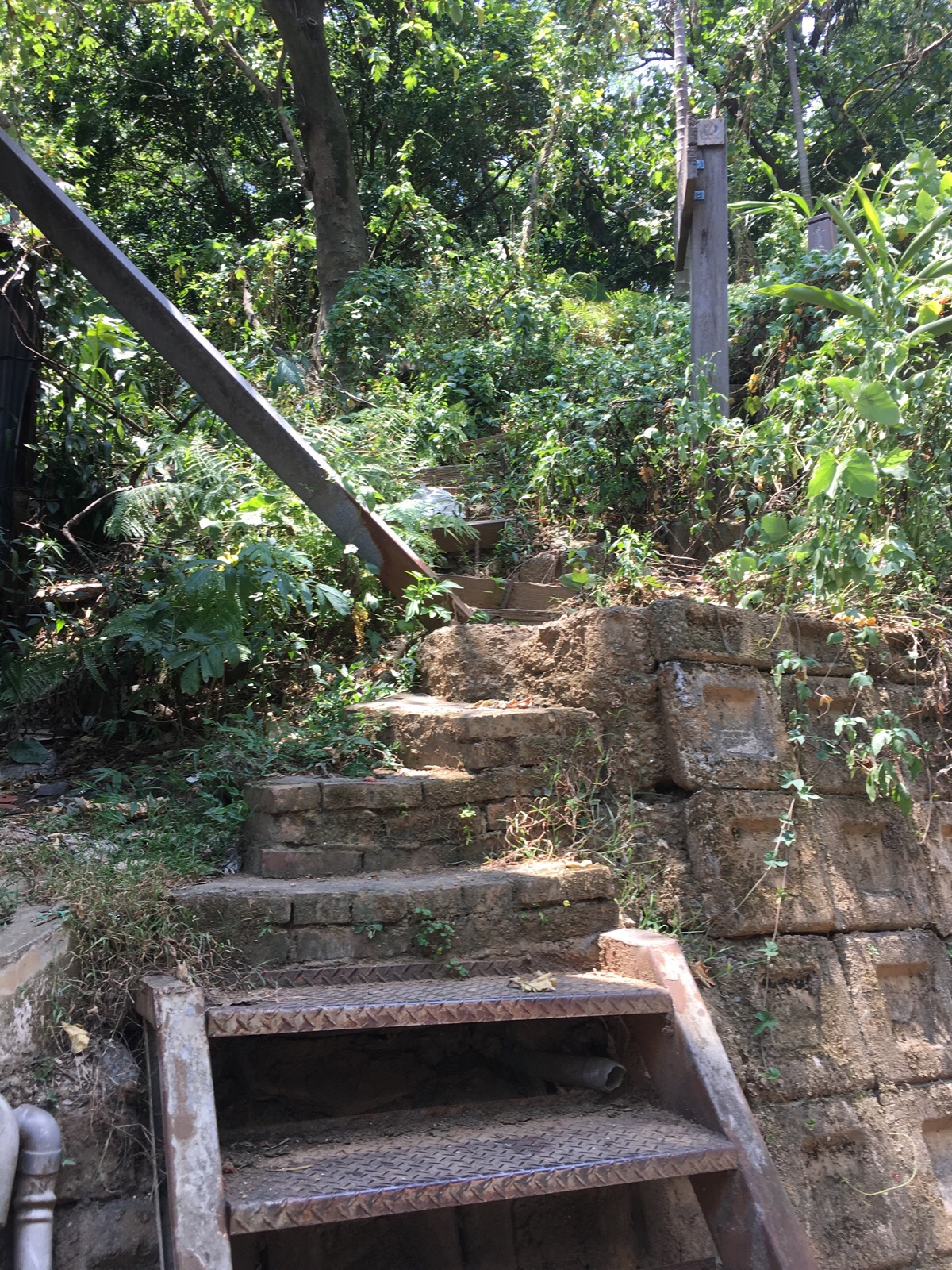
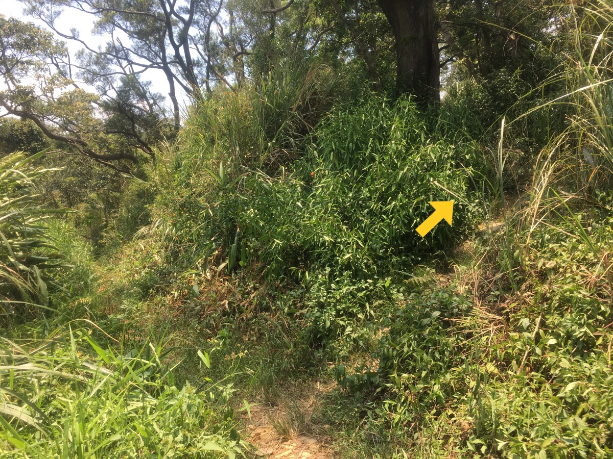
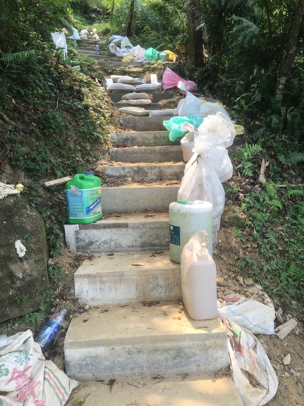
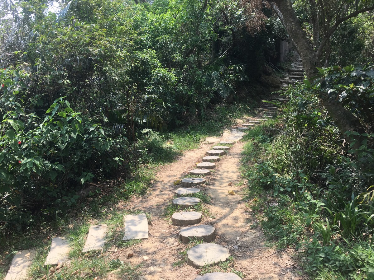
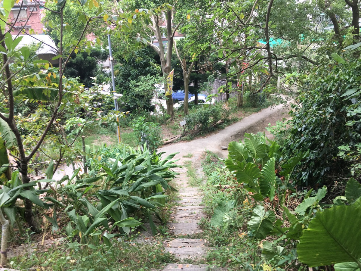
This path doesn’t have the most salubrious of entry points, a small flight of metal steps climb the concrete bank and I quickly found myself amongst the junk and detritus that unfortunately gets left at the edges of inhabited land. There was really quite a lot of rubbish and I spotted a homeless dog searching through our castoffs to find something edible. I am cautious around stray dogs, especially when walking alone but I’ve rarely encountered dangerous homeless dogs here (guard dogs are another matter altogether, they are a very effective deterrent for me), so I waited a while for her to move along and then continued on myself. I soon came across her further up the path with her young and nervous pup, she slunk off up the steep bank and watched as I passed by, her little pup mewled as it tried to use it’s too-short legs to scramble after her.
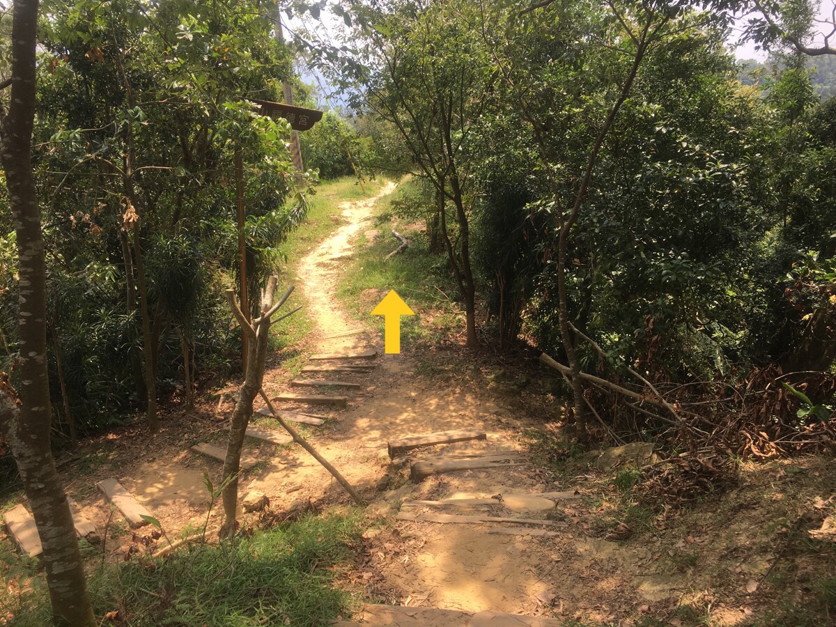
The first junction was at a small clearing, I went left (right just goes back to the street). The path passed a lot of small plots of farmed land and a shelter where I saw my only other people for this first stretch: a gathering of old gentlemen who were there to drink tea and discuss whatever pressing matters old folk discuss around here. They cautioned me to be careful, (I got the impression that this was just because they thought they should say something than because they thought I would encounter any danger – there was no urgency to it), and then I was up the hill and climbing.
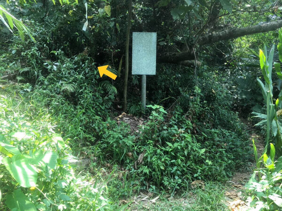
At a defunct sign I took the left-hand fork because it looked clearer – it seems that both of these paths meet up again later on though. The steep ascent passes what looks like an abandoned house, but it could also be a weekend shelter.
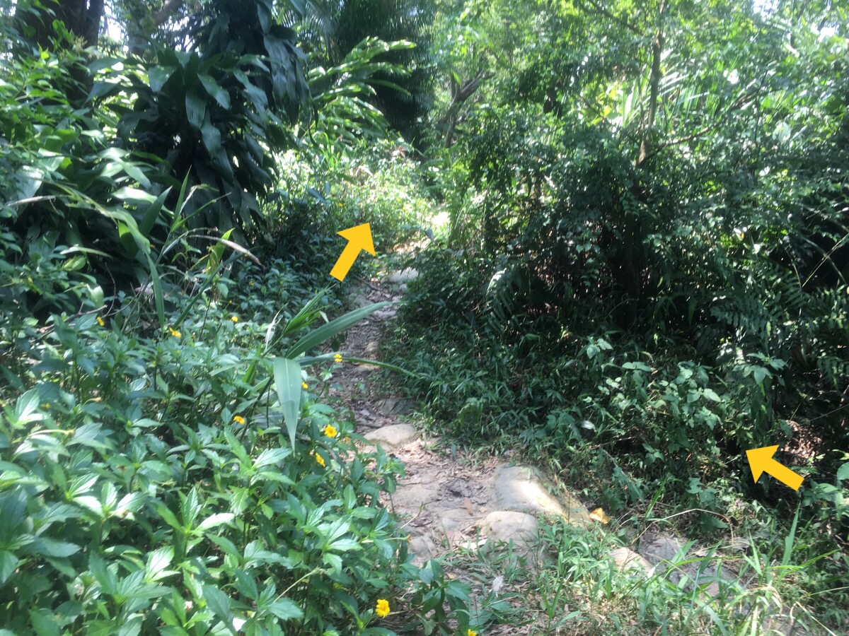
At the top of the climb there’s an unsignposted T-junction, I turned right and almost immediately came across an electricity pylon. For a while you walk along the spine of a ridge with only minor ups and downs.
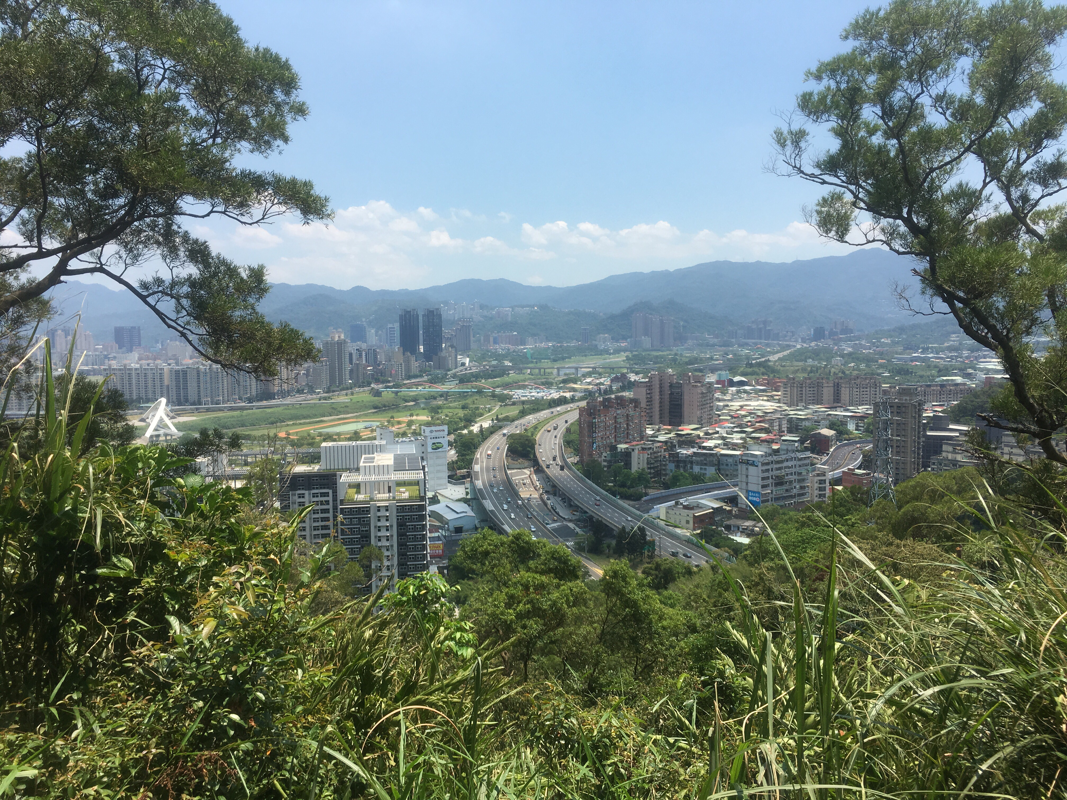
At one point the trees open up on the left to give a clear view over Freeway Number 3 and Xindian River winding their ways towards Bitan Scenic Area.
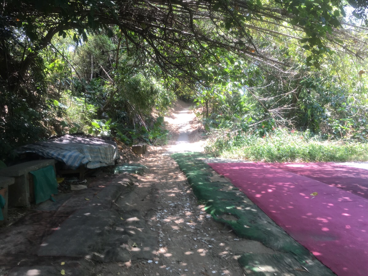
Immediately after the view on the left, the path takes a slight right uphill to what I think is Wai Wa Zi Shan / 外挖子山. There are more exercise hoops for the early morning walkers as well as more matting, (really, this trail had an excessive amount of carpeting). The views northwest over Zhonghe District weren’t as pretty as the southeasterly views. Heading down from the peak required quite a bit of care – it seemed that there were steps at one point in the past, but they’d mostly gone and all that remained were metal rods sticking up ready to trip you over at the slightest wavering of your attention.
At the low point between two peaks, the path crosses a small road, there seemed to be quite a few taxi drivers parked up here for a lunch break when I went through. As soon as you cross the road, the trail starts climbing again.
At the first junction I headed left up the steps. (That trail on the right has a fun rope and ladder scramble that’ll take you up to the point further along the route where you get the first sight of Hongludi’s giant Tudi Gong statue.)
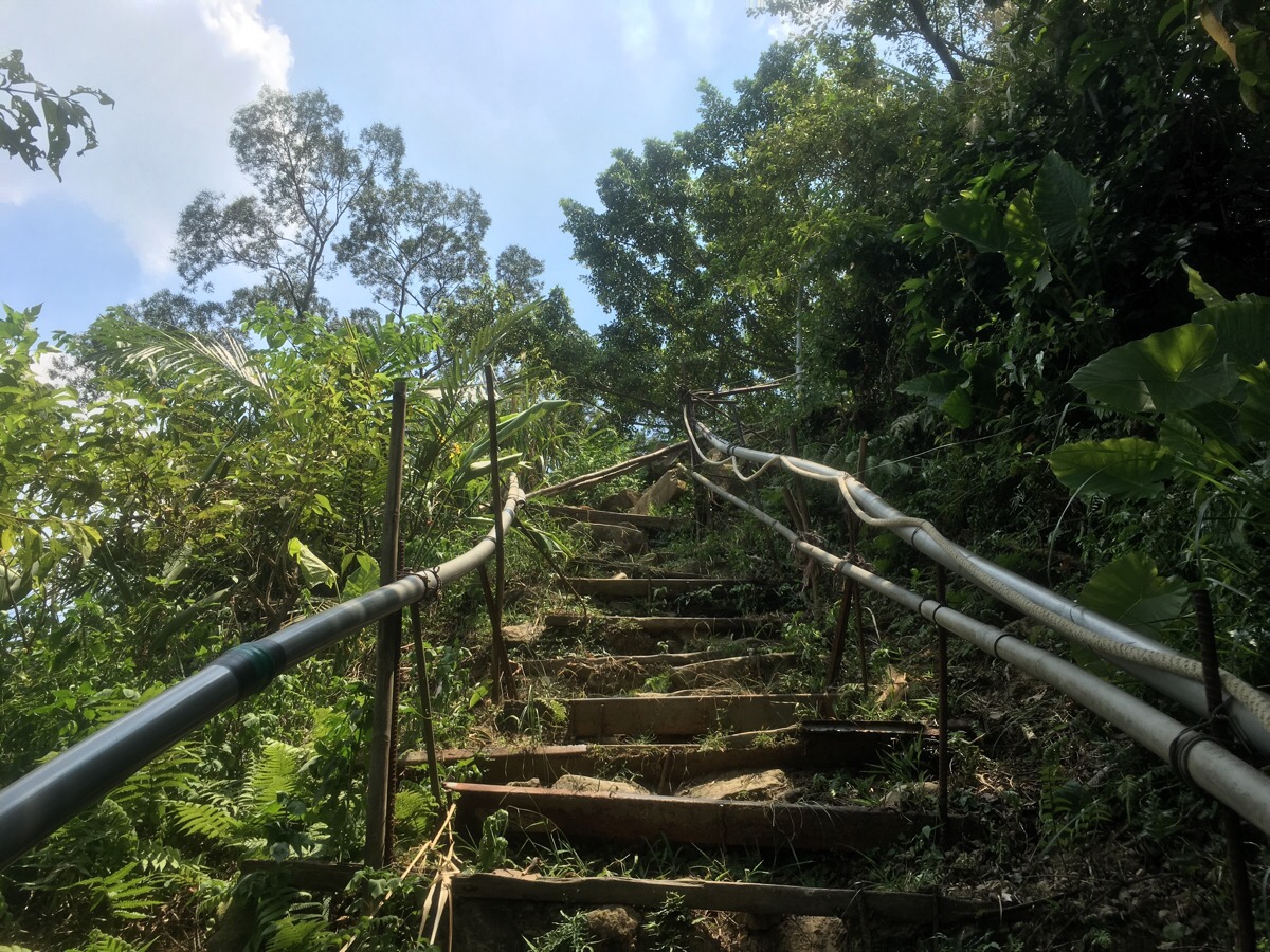
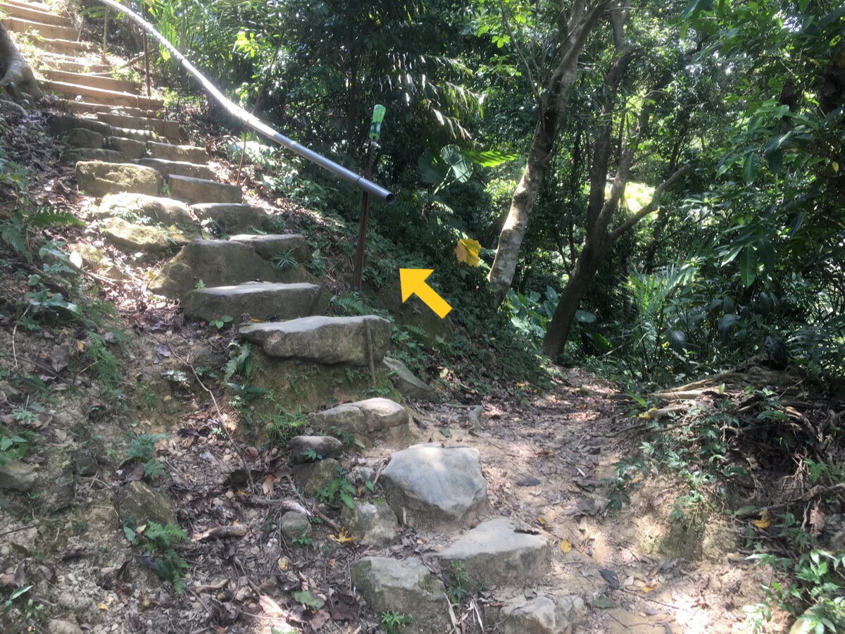
They were quite ramshackle steps, made of a combination of rotting wooden slats, stones, metal rods and plastic pipes.
The route passes under one farm structure/mountain shelter. Judging by the amount of buildings and farmed land up here, I have to imagine that it gets extremely busy here on weekends, but on a summer Wednesday, I had the path almost entirely to myself.
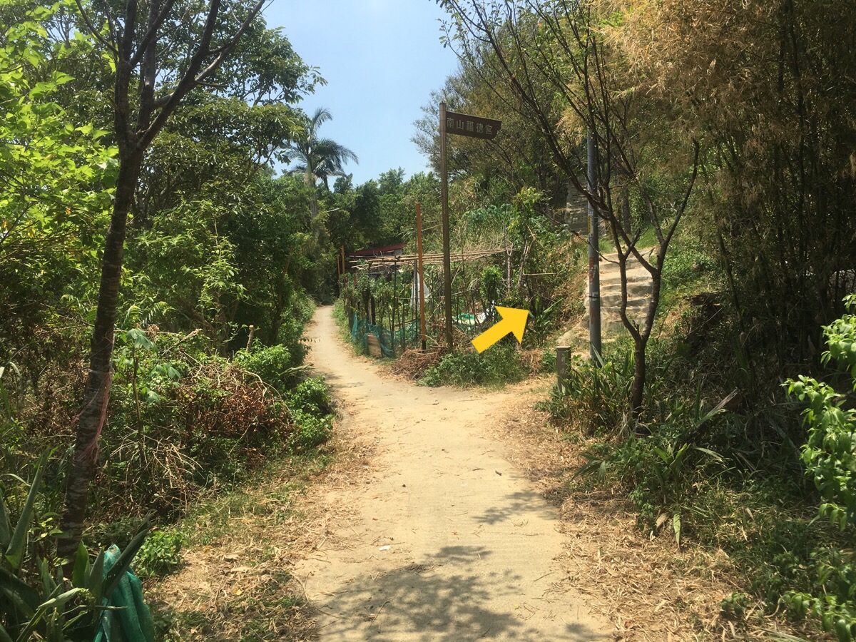
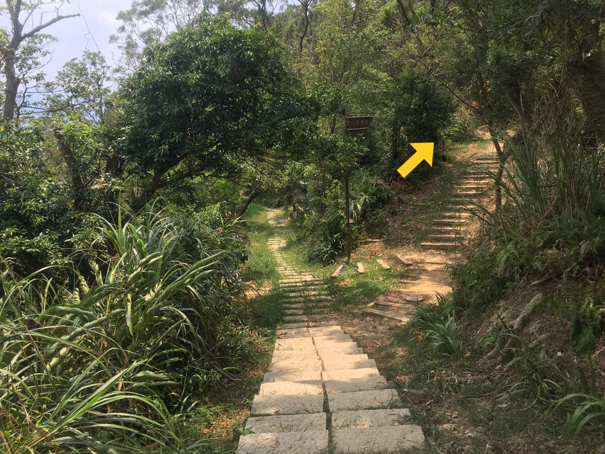
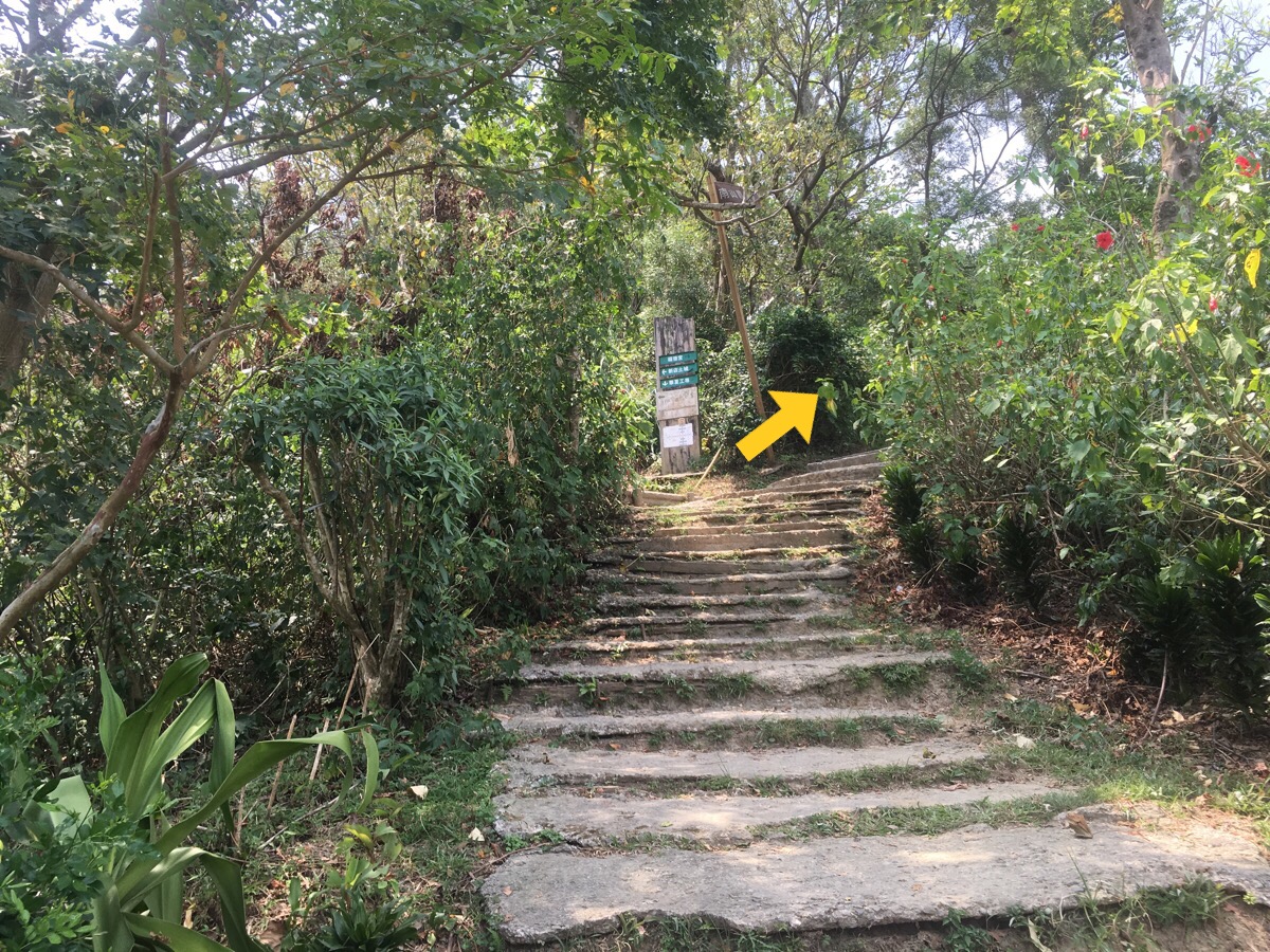
After a little way, the signs guiding you towards Nanshan Fude Gong / 南山福德宮 start to show up. For some reason they are double the height of most of the signs.
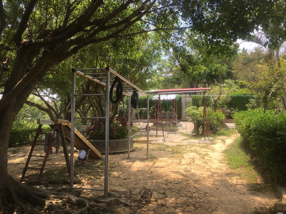
There are so, so many mountain rest areas up here, it seems that there’s one every couple of hundred metres. This play/exercise area had benches which overlook they way you’ve just walked up.
The rest area just before this flight of under-construction stairs had an established temple and a portaloo, part way up the steps they’d got an area of land prepared for playing badminton.
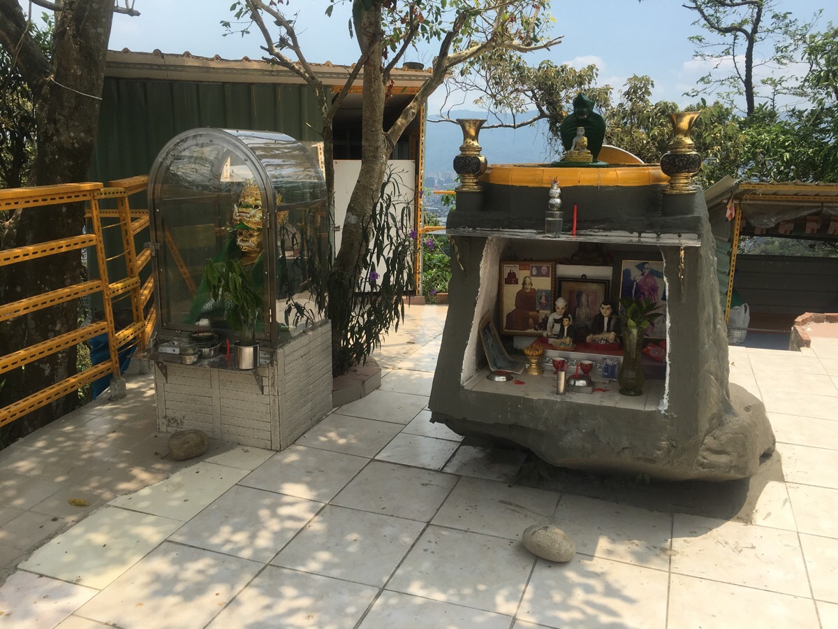
Literally just up from the badminton was another temple, this one was different to any of the other temples I’ve encountered in the hills around Taipei, this one was dedicated to 八面佛, the Eight-Faced Buddha. I can’t find much information about this online, except for the google maps listing of the location. On the day I went, the place was totally empty so I was free to explore without worrying about harassing worshippers, but the google listing shows the place full of worshippers. The languages on the site are a mixture of Chinese characters, English and mostly what I am only half sure is Burmese. (If you know better, please let me know!)
Leaving the temple there were yet more mountain shelters and exercise areas.
A ridiculous amount of them really – this place must be so noisy on weekends! Just a short way beyond this photo the path splits. I took the right path up to the top of a peak then followed the path back down to join up with the original route.
After I rejoined the path there was a cross-roads junction. The sign was a bit twisted, but the way on towards Nanshan Fude Gong is to continue straight.

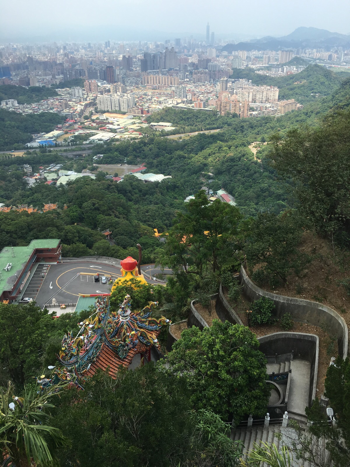
If you look to the right immediately beyond the crossroads, you’ll be able to see the huge statue of the land God surveying the land in front of him.
From here the path becomes a lot wider and a lot less wild, there’s paving and plenty of signs at each junction.
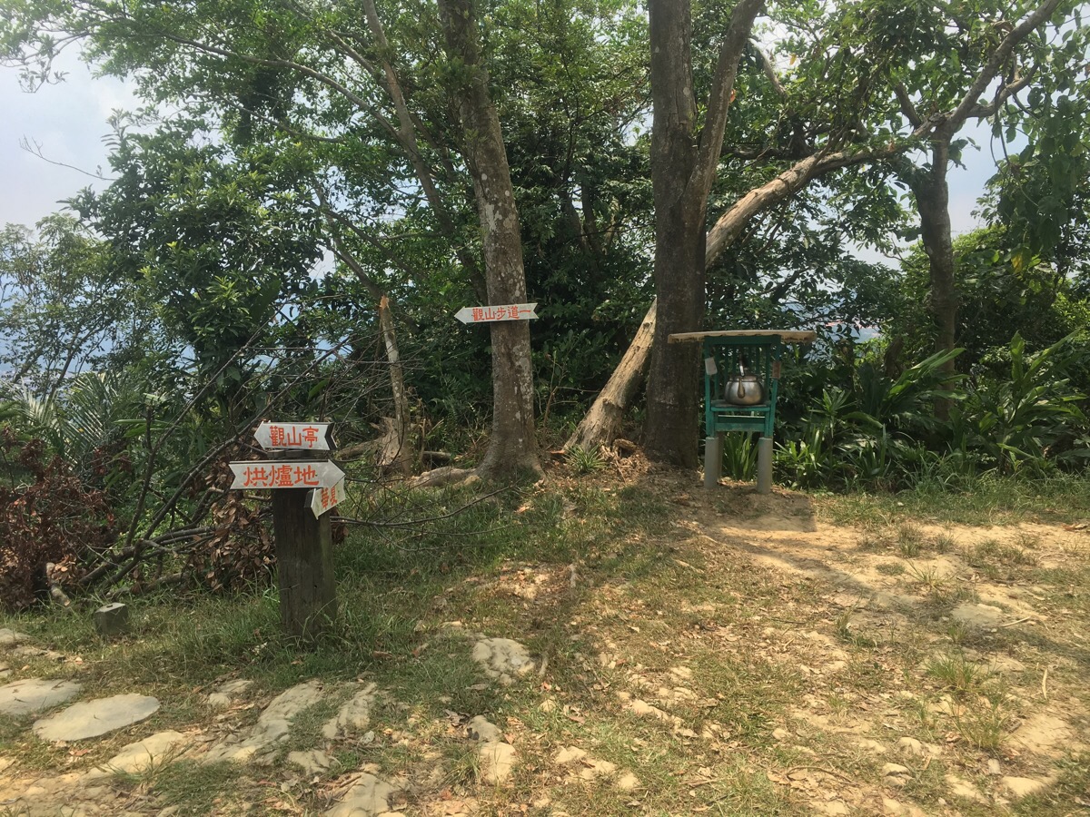
This junction is winning in that it has a teapot and the offer of drinking water, but loosing in that the sign consistency has been broken. Head right here.
For a while you just need to keep heading right.
Right again here, (well, it’s more like straight on really).
And right once more – you’ll find yourself on a flat, concreted path.

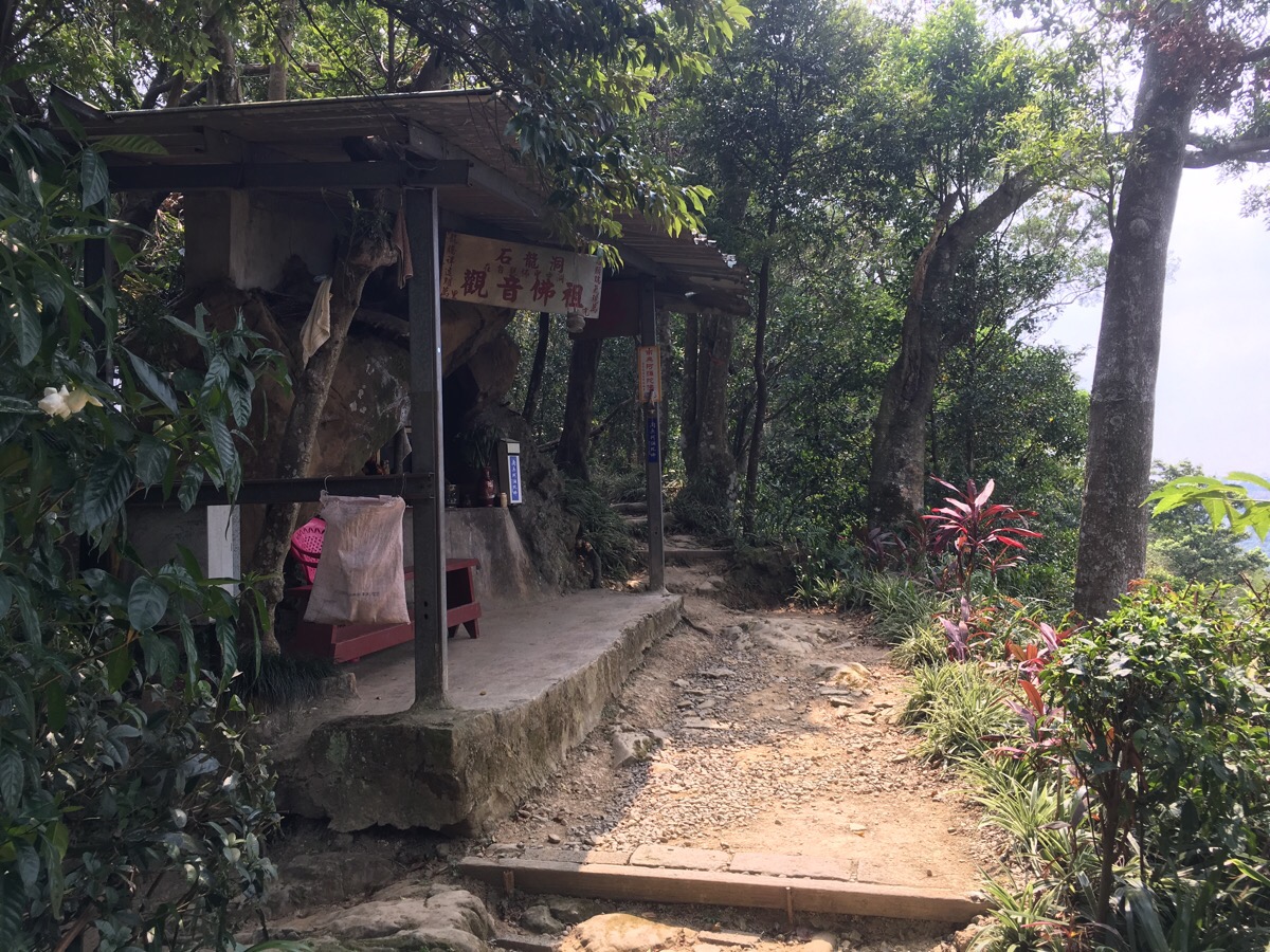
Go between the two buildings and head right once again to arrive at the temple, (you’ll need to come back to this spot when you’re ready to leave).

At the temple I went to the toilet, filled up both my water bottles from the water dispenser, ate the fruit I’d brought with me whilst enjoying the view and washed out the container in the sink. I also soaked the neck flap of my hat with water to help me cool down, (yes, I have resorted to wearing one of those hideous head-enveloping hats – and I haven’t had a sunburnt neck since I started using it).
If you’re feeling tired, this would be a good point to head down the steps and back to town – there are a couple of buses which run up here.
After refuelling and refreshing (and checking that the weather was still going to be ok), I set off up some steps which were right next to where I’d arrived at the temple. This next section is all part of 青春步道 / Qing Chun (or ‘Youth’) trail.
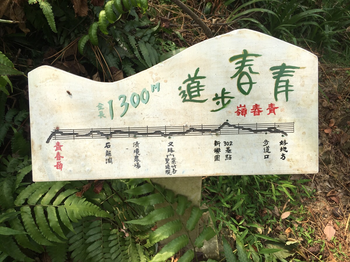
The ‘map’ for this section has a somewhat unusual design, with the elevation gradient shown against the places the path will pass. Just up from the temple, I passed a small shrine.
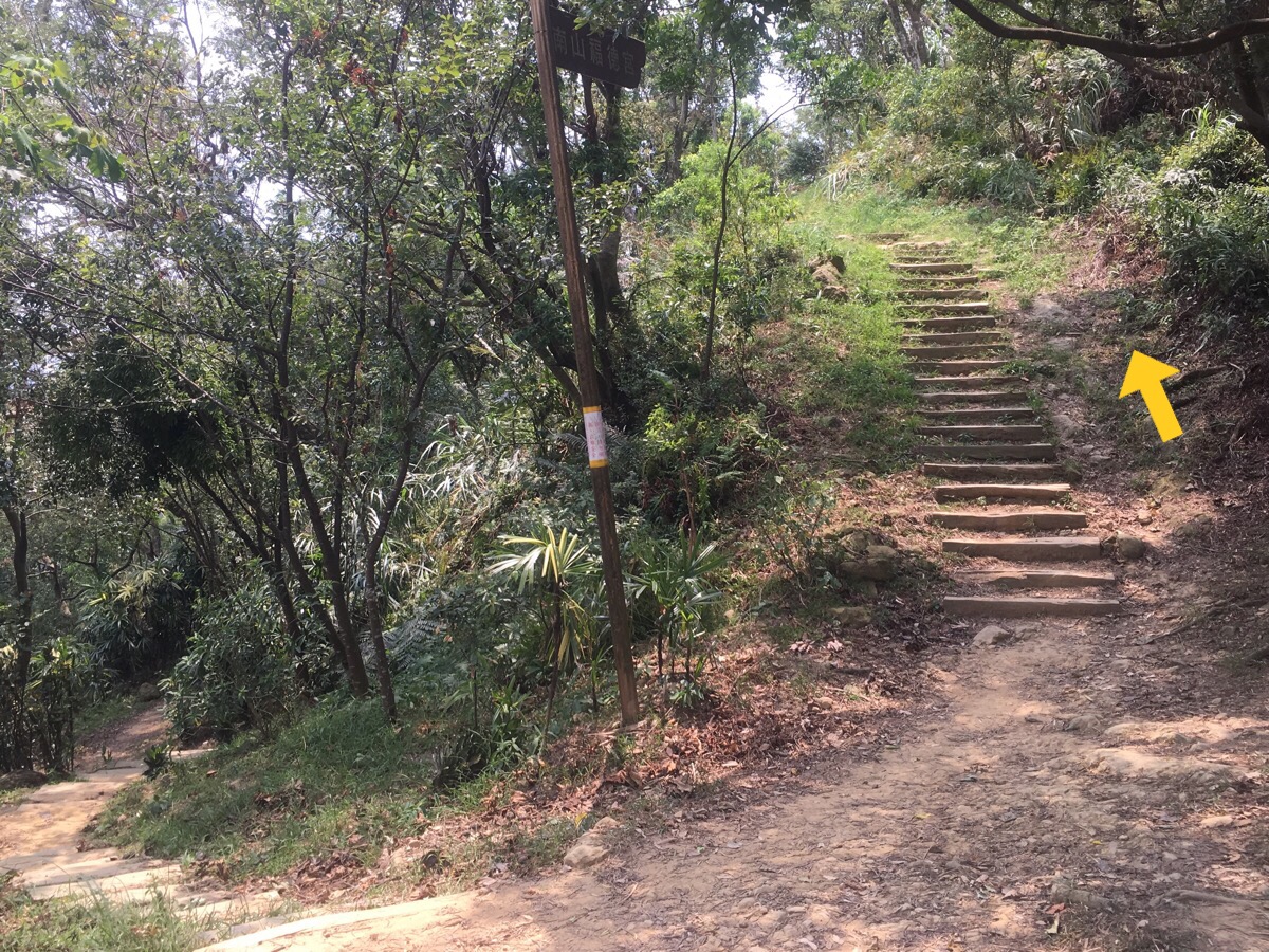
At the first junction I went right (the path coming from the left is the path I was on before turning off to the temple).
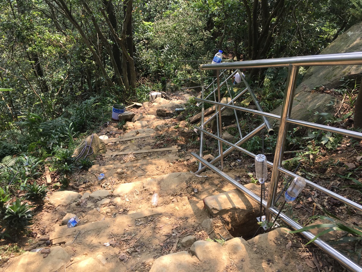
After climbing to 南勢角山 / Nan Shi Jiao Shan (or 烘爐地山 / Hong Lu Di Shan – I’m not sure why it gets two names) I didn’t stop to rest at a pavillion because there was a group of workers there who all stopped and stared the way people do in western movies when an unknown person walks into the bar. It seems they were working on putting lots of metal rods into the ground here and installing handrails.

As the path levelled off I came across another rest area, this one was called 新樂園 which Google charmingly tells me is ‘New Paradise’, (I’d passed one earlier called 好地方 – quite literally ‘Good Place’, so I suppose that paradise was the next logical step). It had an impressive jerry-rigged standing pulldown machine which used a tyre, a wooden board and a variety of rocks as the weights.
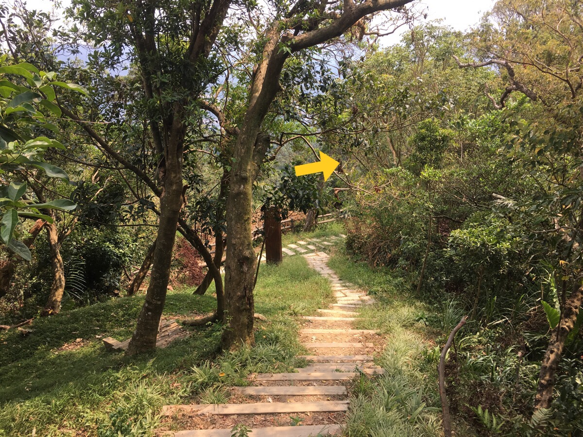
There are a few paths going down either side, but for this part of the walk I just kept heading straight.
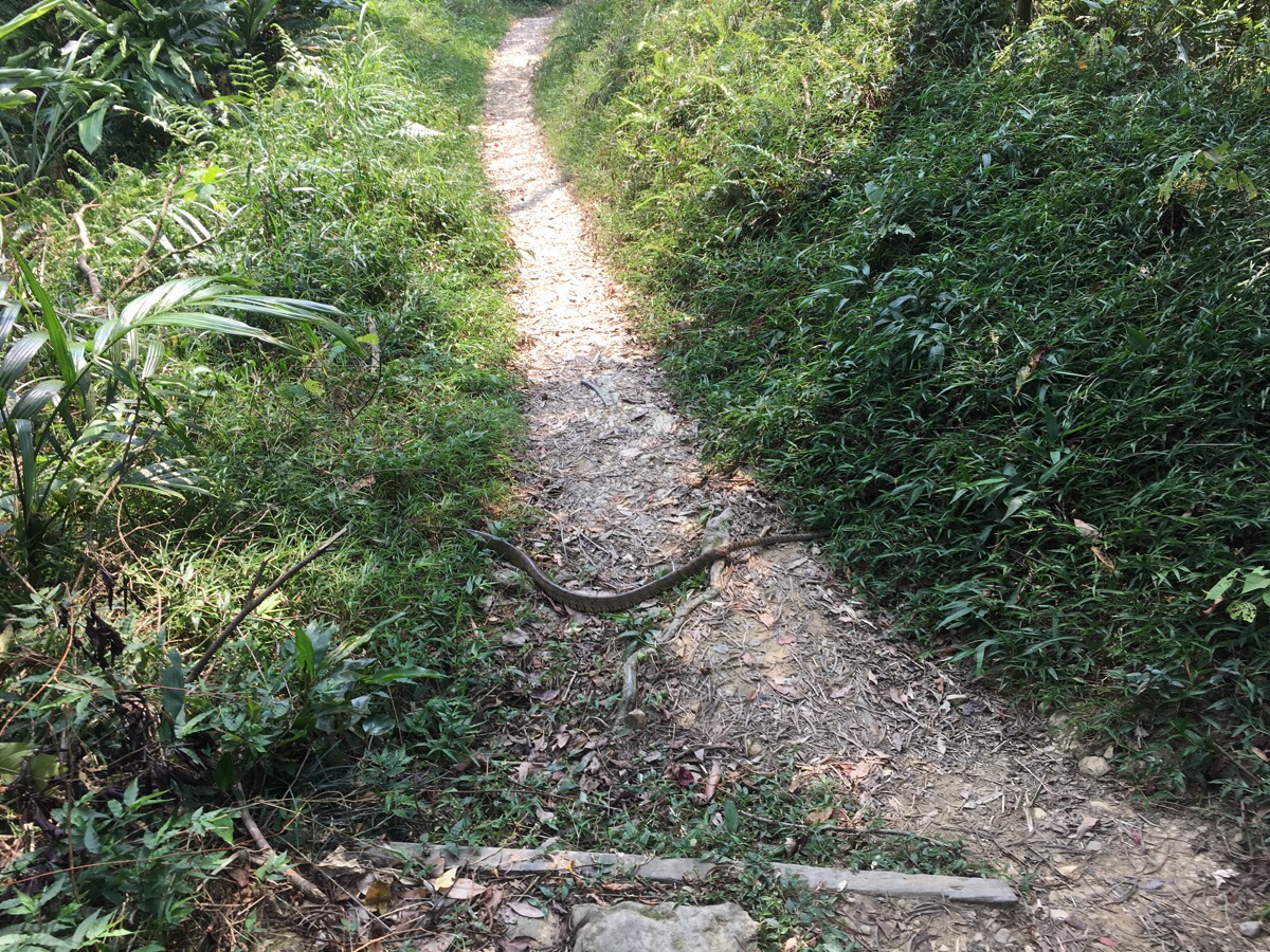
Until I saw this giant no-legged friend on the path. At that point I stopped and waited until it decided to be on its way. After doing a big of research at home, I’m pretty sure what I saw was a rat snake, probably an Oriental rat snake, in which case I didn’t have much to worry about, but I’m not taking any chances with 180cm long snakes.
At a junction I crossed straight over passing another shrine.
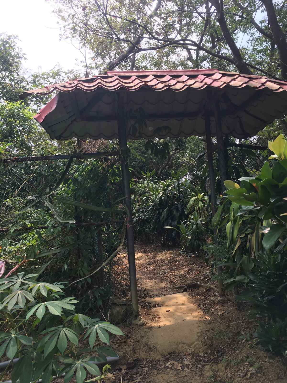
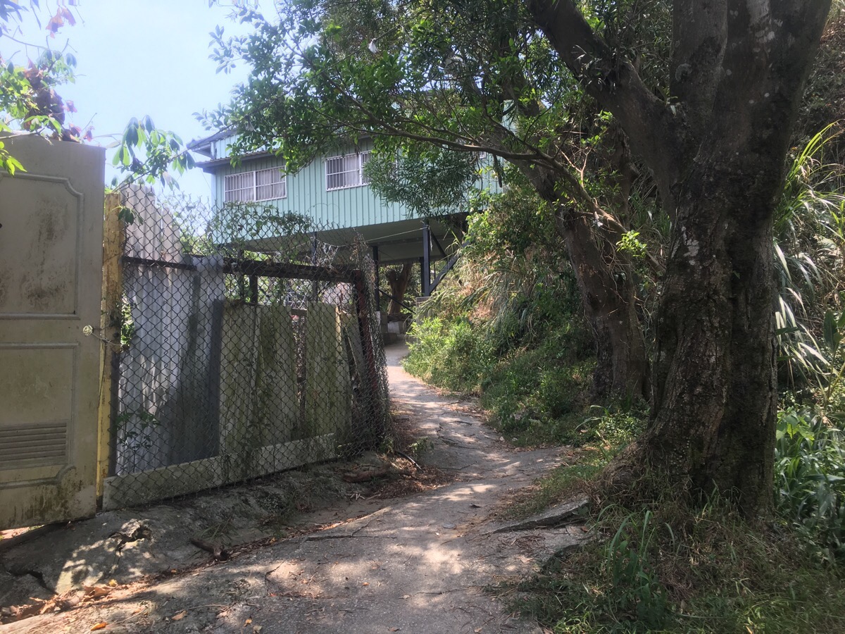
About five minutes after passing the shrine, the path crosses over into the grounds of a gated community.
It felt a little bit like you shouldn’t really be there but the path was established enough and I’d seen no signs warning people to stay out.
NOTE: In the years since I wrote this, Caidie Community has toughened up on outsiders, and you are now no longer allowed to enter. It is possible to bypass the community and do a much longer loop (see this post for more on that), but if you’re only looking to do a short loop, you’re better off following the road down from Hongludi Nanshan Fude Temple. What follows below is now just a record of what used to be possible.

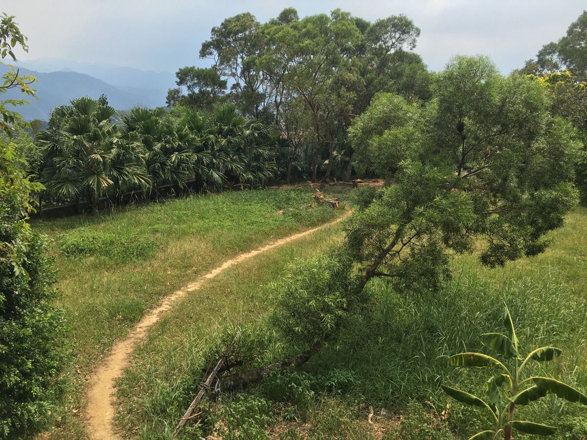
The neighbourhood is one of the several heavily planned communities which stick out like a sore thumb in the hills around Taipei – all red rooves and clustered.
Where the path leads down head right and down onto the road, (I went left but it was a big detour, right is definitely easier).

Head to the right up the road.
You’ll pass a family mart on your left. At this point I actually started to continue the walk, by heading up a path in the park on the right, but after going about 300m I decided that the skies were looking a bit too ominous and I wanted to call it a day. After my recent experience over at 新山, I was in no hurry to get caught out by the weather so I retraced my steps and went in search of a bus stop.
Leaving the gated community I became hyper-aware of all the security cameras but the security guard paid zero attention to me.
At the junction I headed left downhill and just kept walking until I found the bus depot.
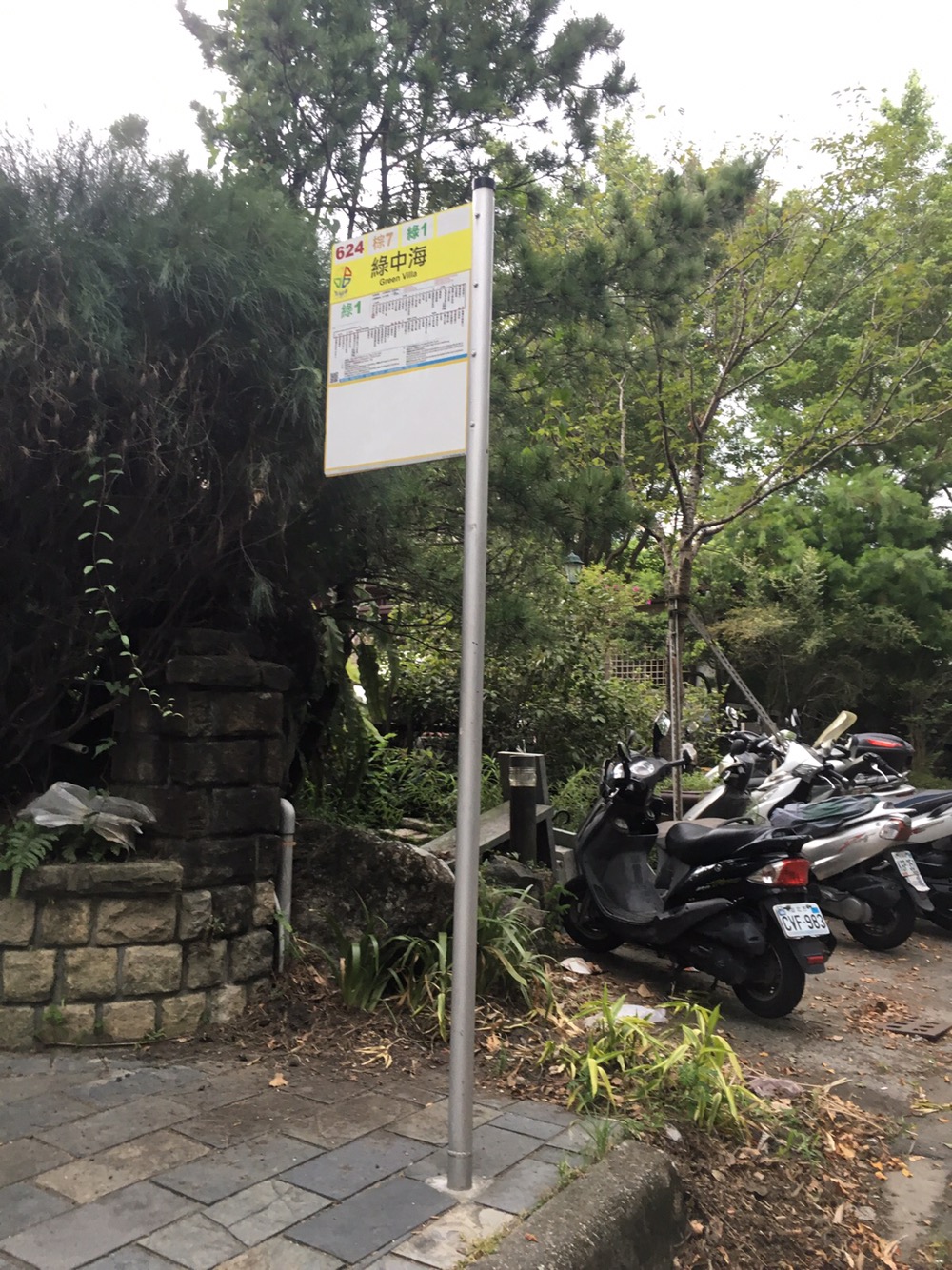
The depot is on the left and I just waited by the sign outside until the bus came. About five minutes after climbing onboard, I felt very smug about my choice to bail on the rest of the walk because at that point, the heavens opened.
How to get there
Google Maps address: 烘爐地步道, Jingxin Street, New Taipei City
GPS location: N24 59.180 E121 30.933
Public transport: Take the yellow line all the way to Nanshijiao – leave the station via exit four and walk to the trailhead (pictures at the top). You can walk down the road from Hongludi Nanshan Fude Temple back to Nanshijiao, or else wait for one of the infrequent buses.
Nearby trails:
Hongludi Temple and Waiwazi Shan Map
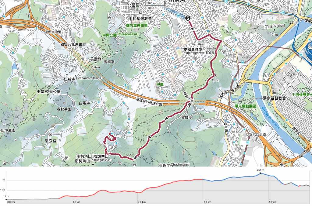
GPX file available here on Outdoor Active. (Account needed, but the free one works just fine.) The map is a different route to the walk detailed in this blog because of the changes to the right-of-way around Caidie Community.

Pingback: Zhonghe's Little Burma to Hongludi Nanshan Temple Photowalk - Look Through The Lens? Will you?