Distance: 4.3km
Time: 1¾ hours
Difficulty (new Taiwan hiker): 1.5/10 – The trail is unsurfaced but it’s not difficult.
Difficulty (new Taiwan hiker): 3.5/10 – It’s a bit steep but that’s about the only difficult point.
Total ascent: 280m or thereabouts.
Water: 0.8L – I drank the whole of my bottle, but it was swelteringly hot. The first time I did this was in winter and I barely drank at all.
Shade: Not quite enough for my British skin – I used an umbrella but between the trail and my travel to the trail I still ended up with sun-pinked hands (the only part of me which wasn’t covered).
Mobile network: Patchy, near the top I couldn’t get signal for a while.
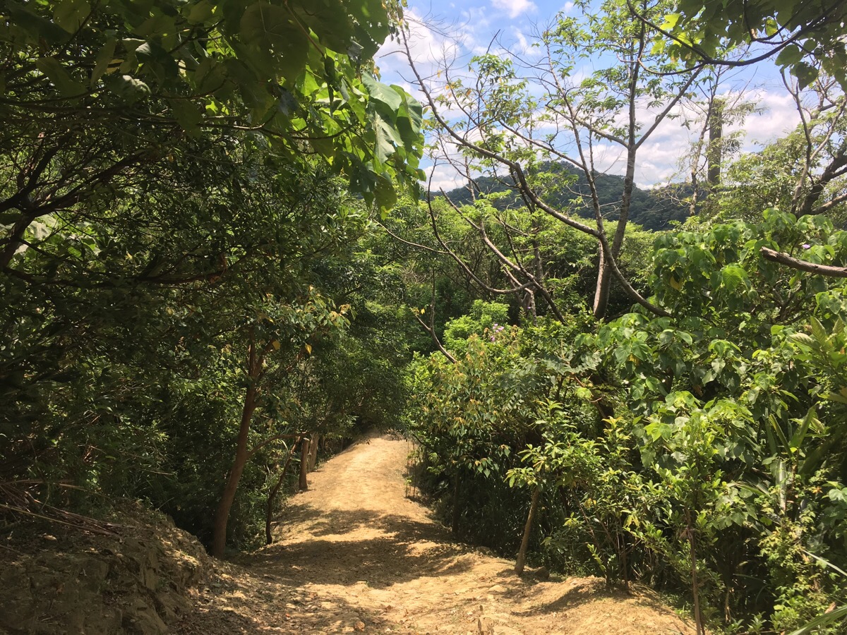
Enjoyment: It’s a nice clean trail with a dirt path rather than concrete, stone steps or any of the other path surfaces that intrude on the senses. Added to that, there is the rather magnificent, old banyan at the top and on the day I went, I had the trail entirely to myself until I got to 5 minutes away from the end. I’d have loved to have time to turn it into a loop walk though.
Fuyuan Ancient Banyan Trail Map
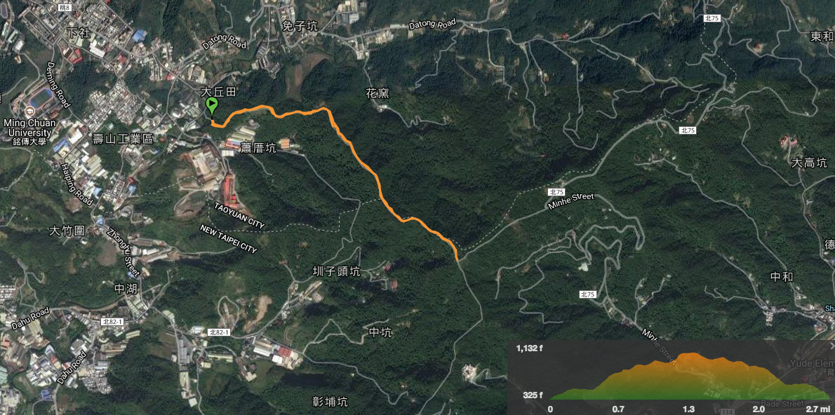
Link to a downloadable map available here.
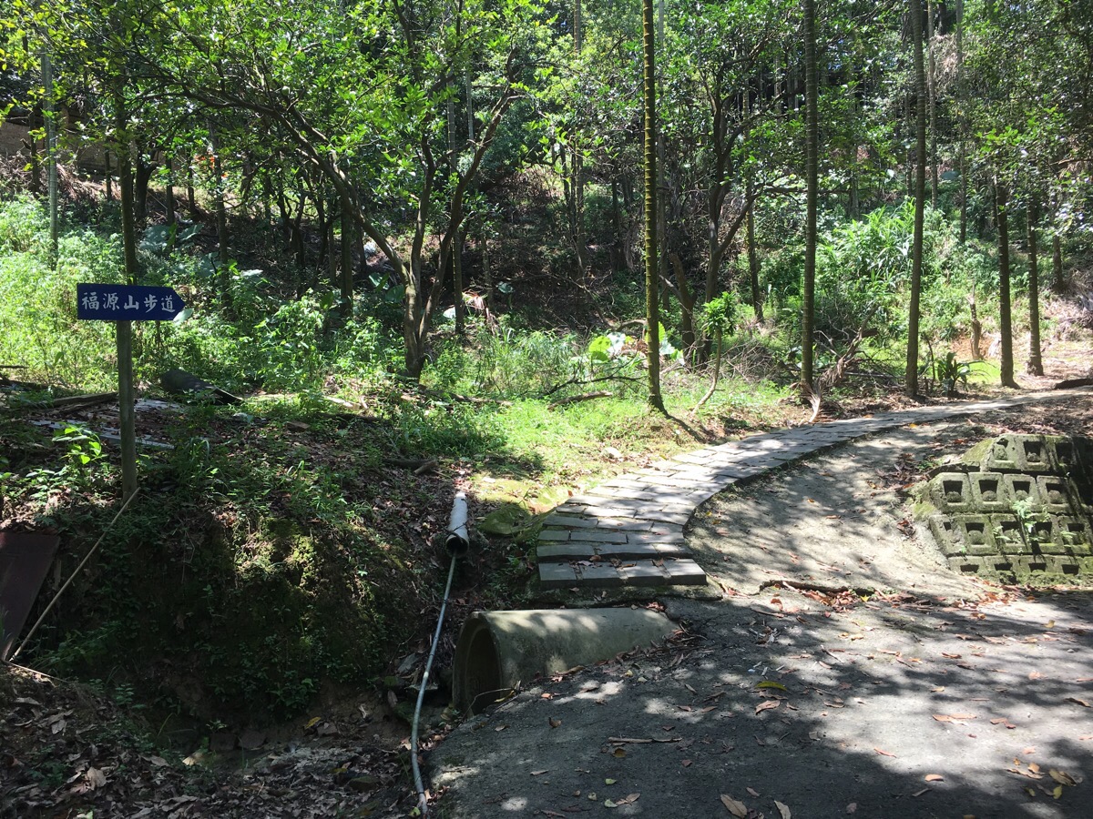
The path heads up just a little up the road from the turn-off. There are a few abandoned or semi abandoned buildings on the way up.
Before the steps turn into a dirt path, the trail climbs up next to a betel nut grove.
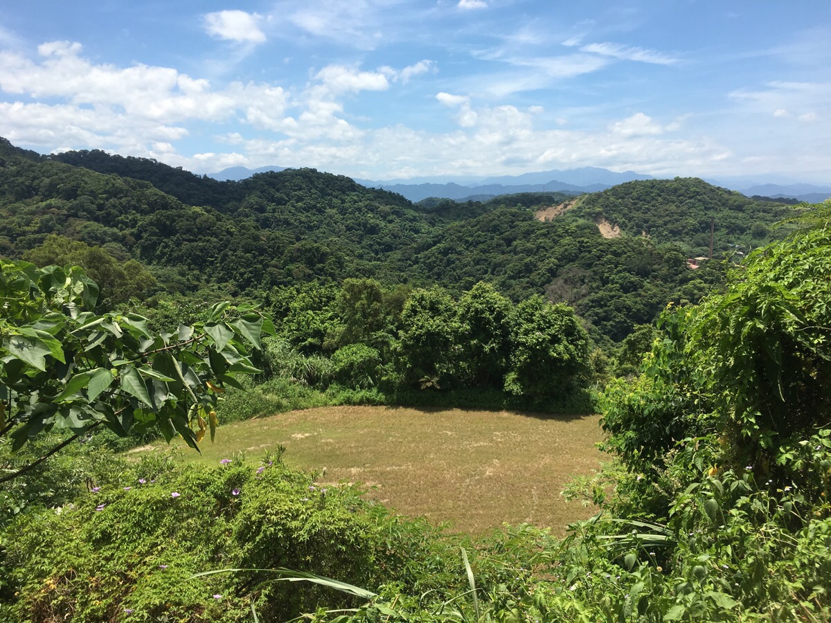
Looking to the right as the path heads up there is a flat area and beyond that is (possibly) the ridge where you could (possibly) come down if you were to turn the walk into a loop.
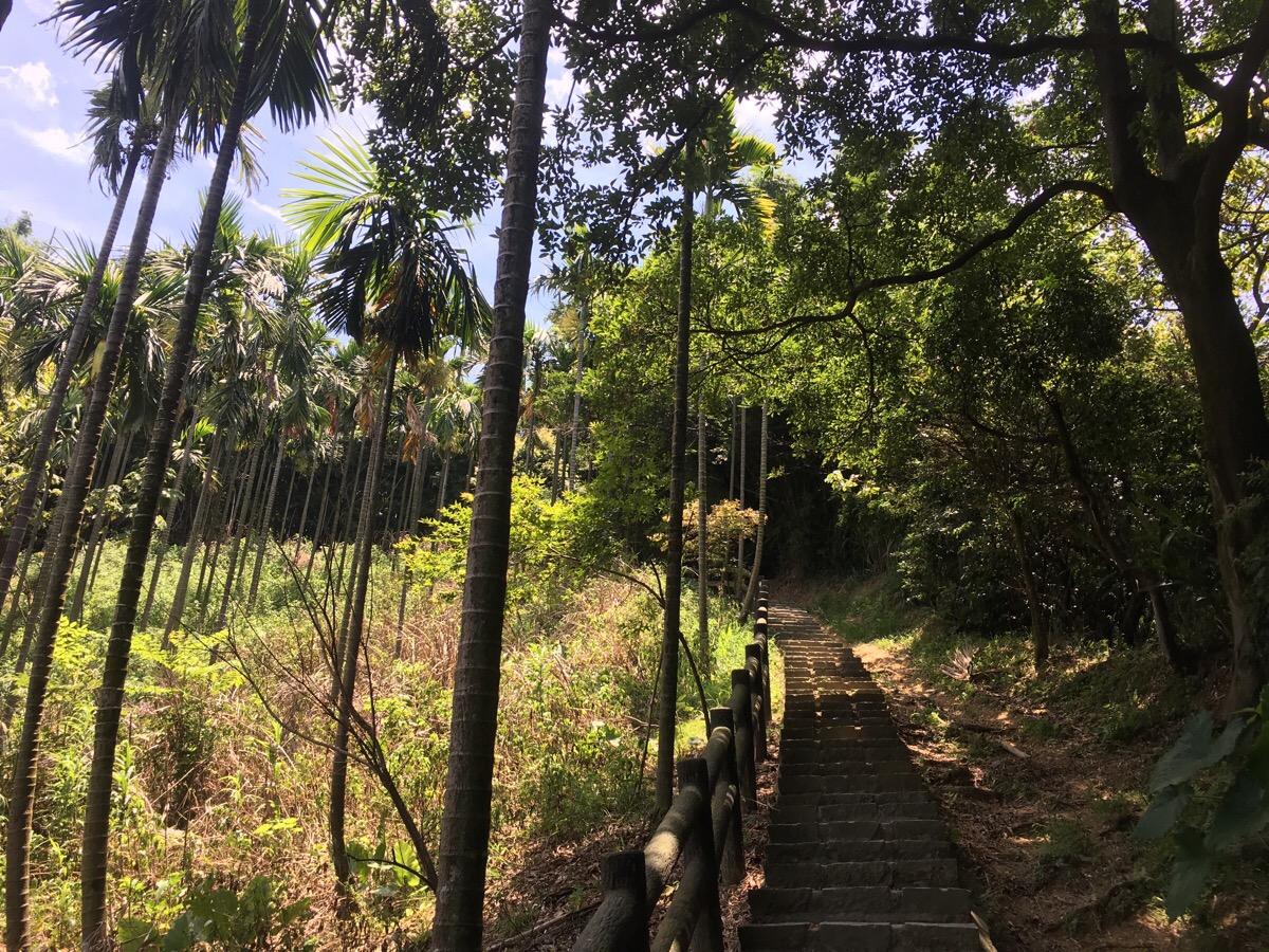
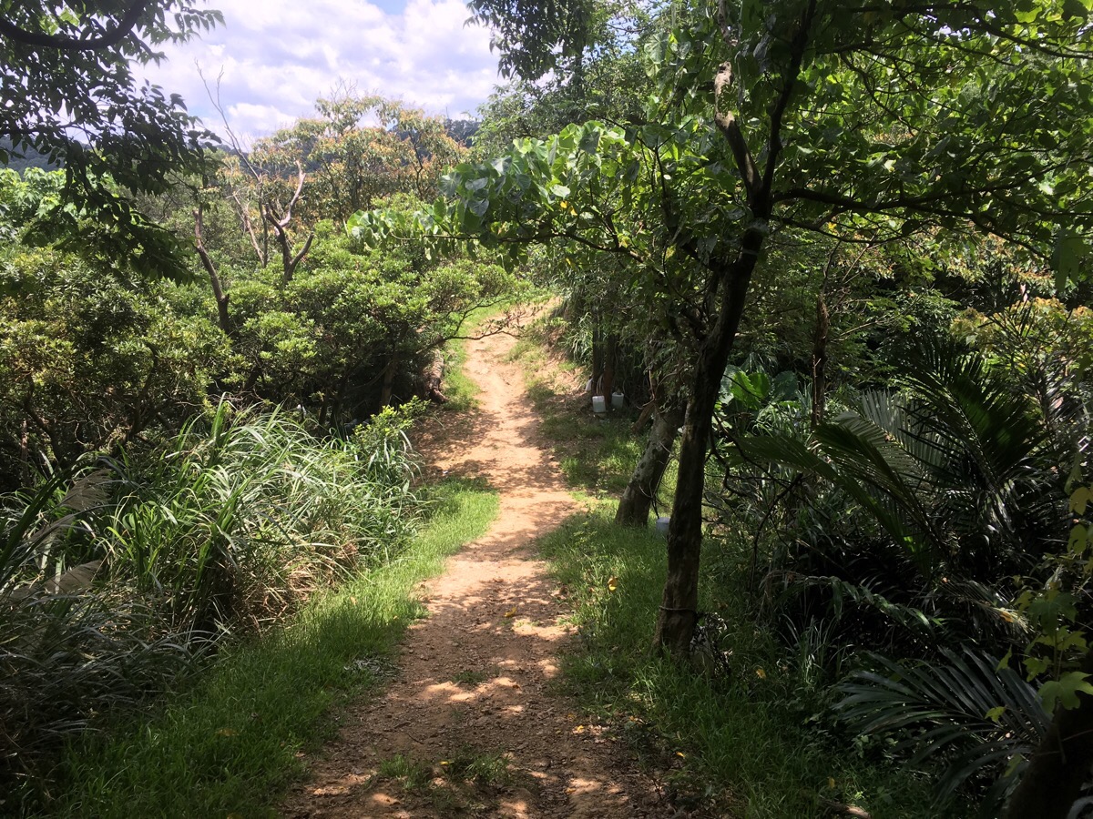
The path follows a ridge so it climbs and dips (mostly climbs), with the slope dropping away on either side.
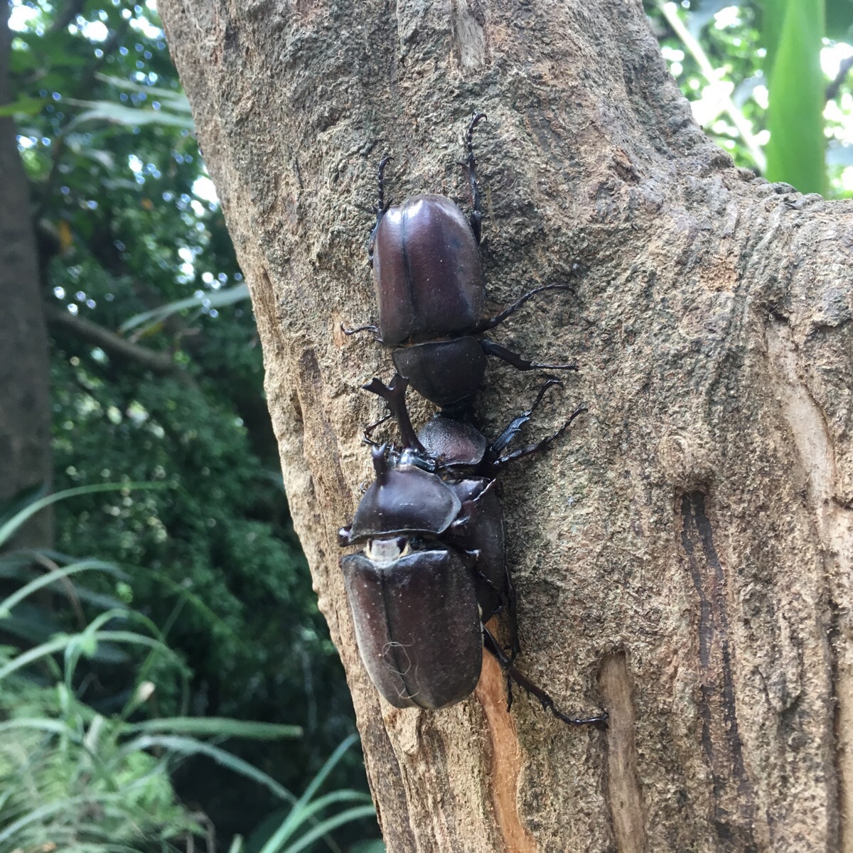
Catching sight of something to the side of the trail I was lucky enough to catch some amorous rhino beetles making the most of their short time. These three seem to be a little behind schedule, the breeding frenzy over at Yang Cho trail died down a week earlier.
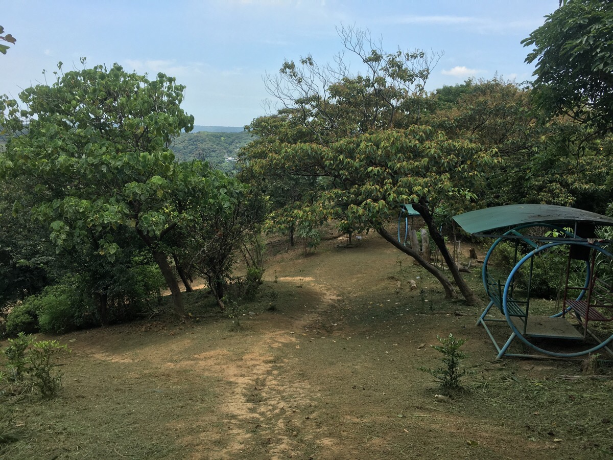
Not too far from the start there are a succession of rest pavilions and more open areas – the largest of them has several swing seats where you can sit and make yourself vaguely nauseous before carrying on up.
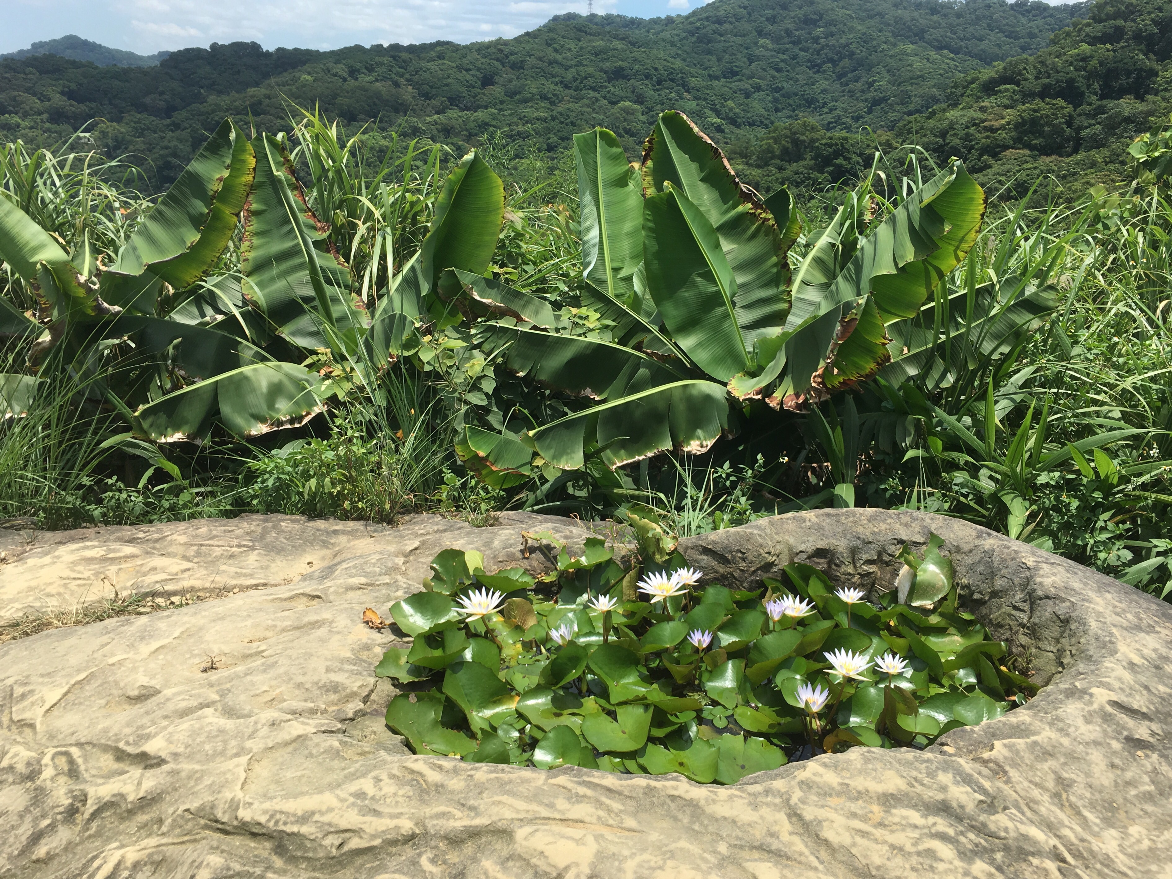
Perhaps my favourite thing about this walk is this super cute (accidental?) lily pond on a rocky outcrop. It’s a little off the path on the left, there’s no sign going up (there’s a sign in Chinese on the way down but I didn’t see this when I first went by), but it’s about the only open area on the left so it’s easy to spot. Last time I came there were only leave so, this time I got lucky and there were lots of beautiful little white flowers.
There are a couple of paths leading away from the trail. In the picture there’s actually a crossroads, the left is signposted as being 石雲森林步道 (Shi Yun forest trail), to the right the path is signposted as going towards 鶯歌, 桃園, 中湖 and 東湖 (Yingge, Taoyuan, Zhonghu and Donghu).
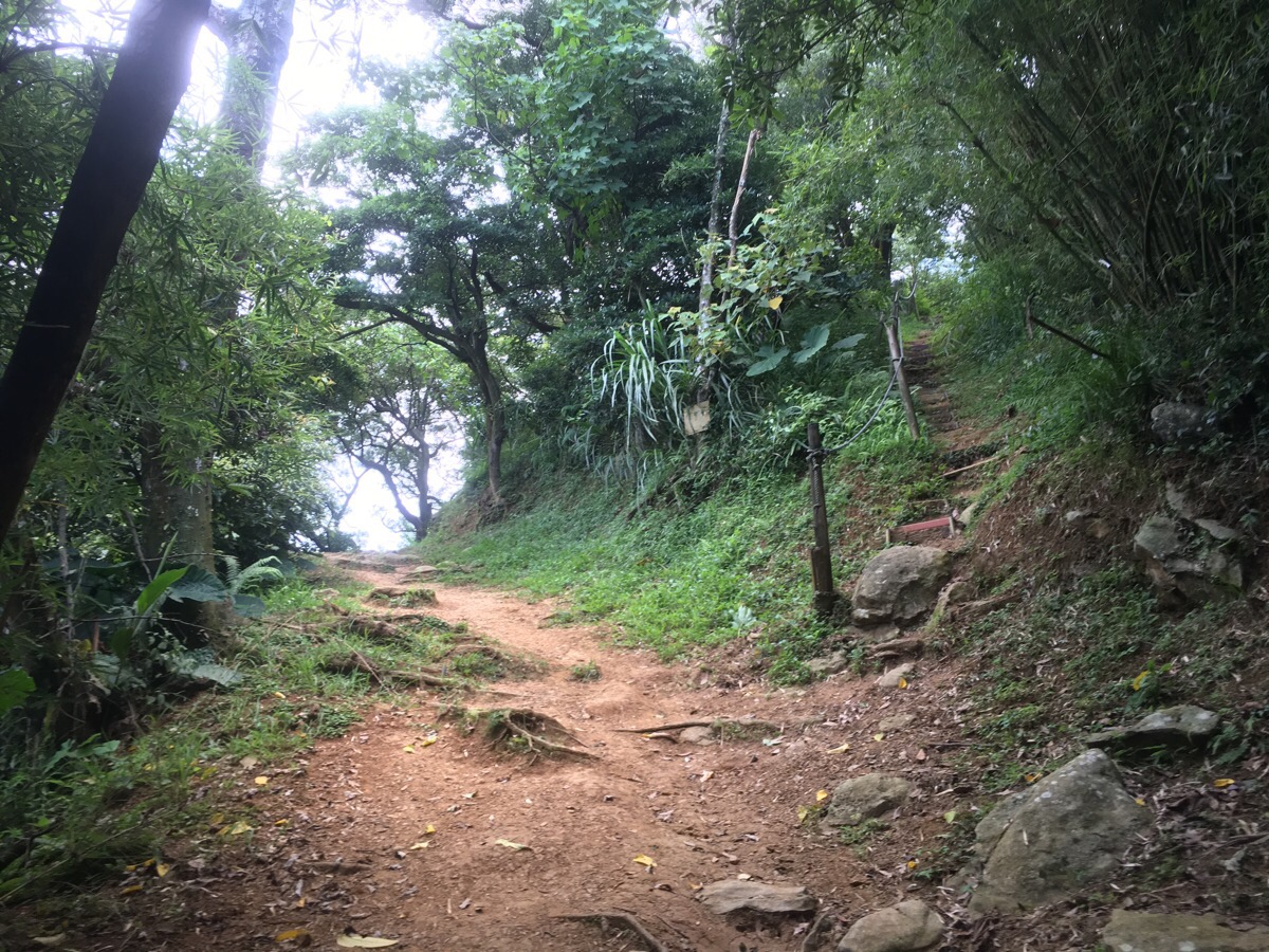
As the path nears the top there’s a fork – the righthand one goes up some steps whilst the lefthand one climbs the same distance, just a little less steeply. The paths join up after twenty or thirty metres but the right hand one offers a nice view.
From the shade of a big banyan you can look out towards Bade district.
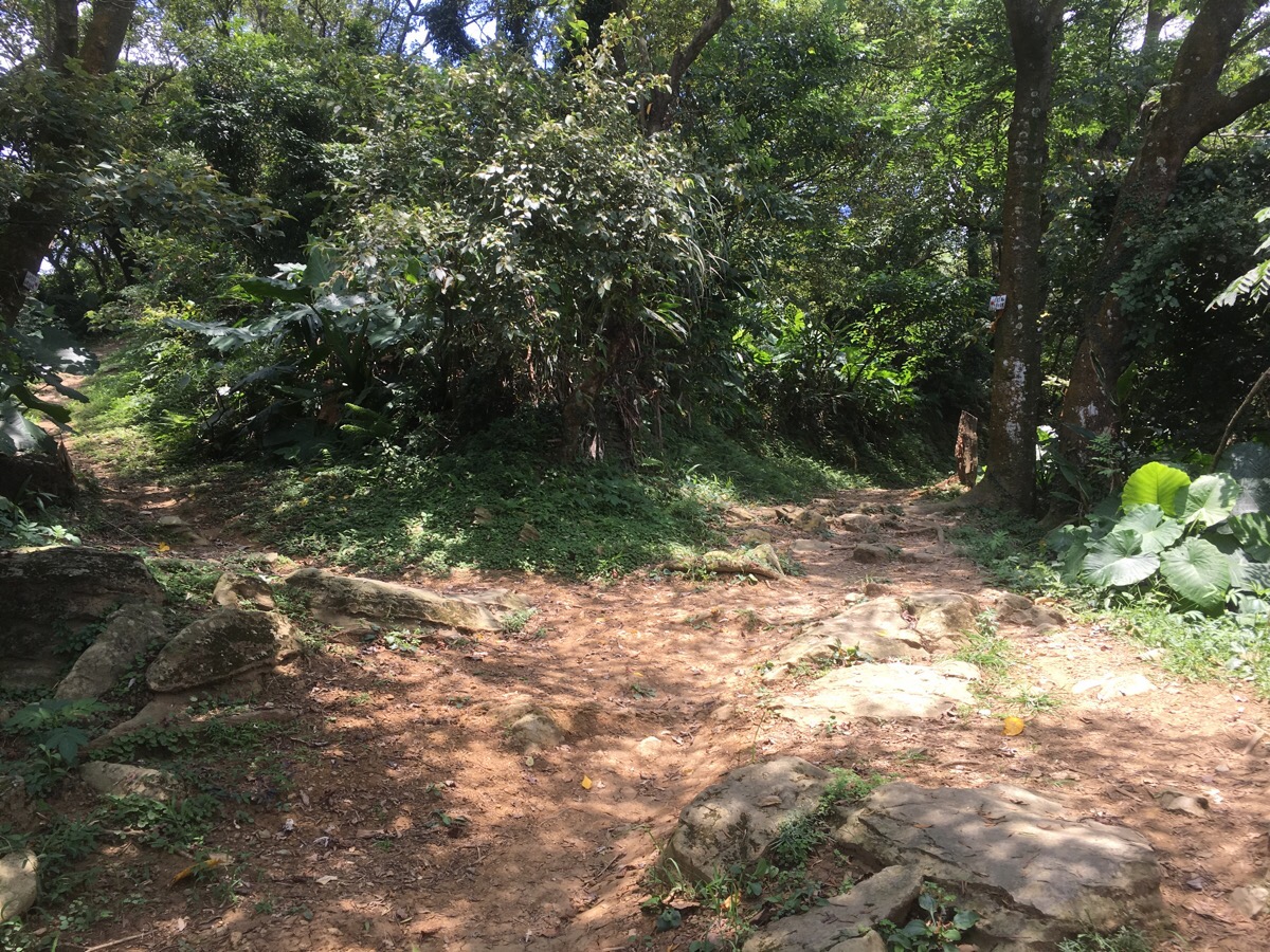
Right near the end of Fuyan trail, another one branches off on the left to keep following the ridge – I ignored it and walked towards the Tudigong shrine at the end.
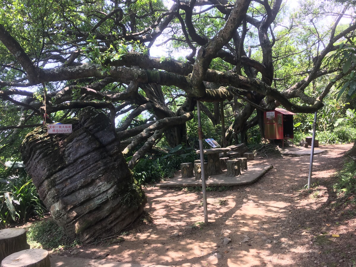
There are actually two shrines, one right under the tangled and sprawling limbs of the ancient banyan. It’s a really rather impressive tree.
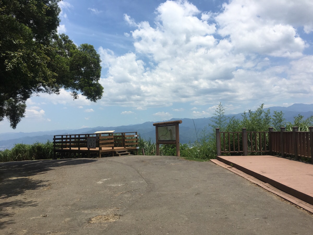
At the top there’s a map with an extensive list of trails all in the area and a lookout platform.
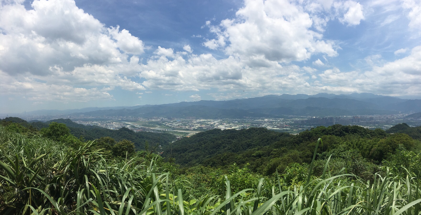
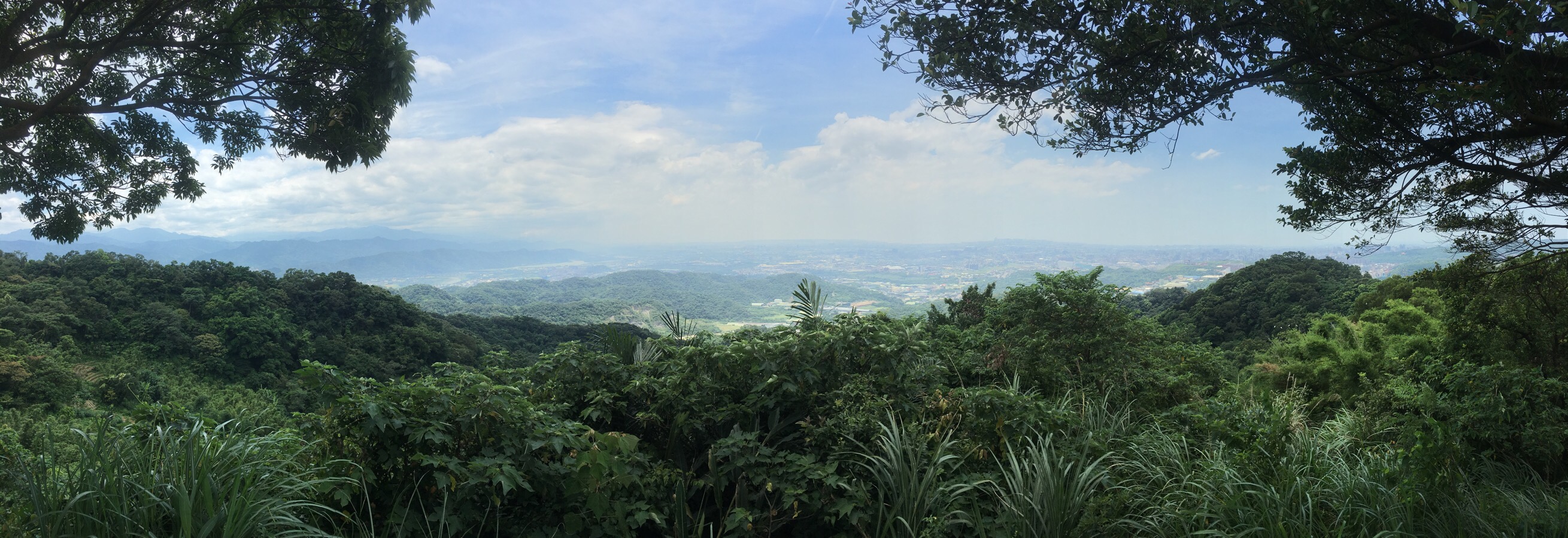
From the platform you can see all the way from Sanxia on the right to Da’an district to the far left, Taipei 101 is visible nosing it’s way into the view as if it is desperate to get into every photo. I had a look at the map and was very tempted by the path heading down next to the map. However I had plans to make a tagine for dinner so I had to get back before it got too late.
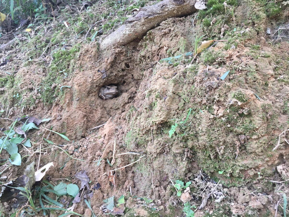
Retracing my steps, I noticed something interesting in the bank to the side of the path.
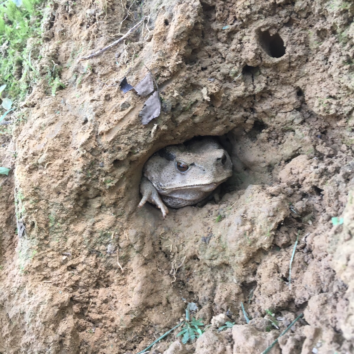
Closer inspection revealed it to be a common toad which had found a hole to lurk in and shelter from the shade – thinking that it had got the right idea, I hurried back to find my own air conditioned hole.
Fuyuan Ancient Banyan Trail Map
Google maps address: Fuyuan Mountain Trail, Lane 88, Hushan Street, Guishan District, Taoyuan City, 333
GPS location: N24 59.041 E121 21.216
Public transport: the 5064 bus towards Fu Shan Gong goes from Fuxing North Road which is just a little way away from the front exit of Taoyuan train station. Get out at Bei Ma Community stop and walk the remaining 600m to the trailhead
