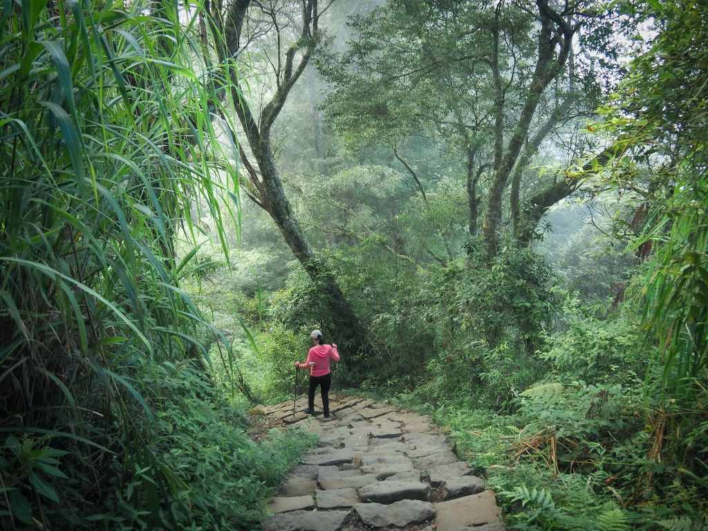
Most visitors to Fenqihu come for the old street and the lunchboxes. This pleasant trail climbing to one of Chiayi’s lesser-visited Taiwan 100 Minor Peaks is a short scooter ride (or slightly longer walk) out of town, and rewards those who venture a little further with bamboo groves, fine forest, monkey sightings, and a summit view from nearly 2,000 metres up.
DISTANCE: About 3.7km.
TIME: 2-4 hours – The signs at the trailhead say this is a four-hour walk, but I finished it in an hour and a half at quite a fast pace.
TOTAL ASCENT: Around 320 metres to a high point of 1,976m on the summit.
DIFFICULTY (REGULAR TAIWAN HIKERS): 2-3/10 – Some steep steps, some uneven surfaces, but nothing dangerous. My legs were tired from an earlier hike, so that might have influenced my experience.
DIFFICULTY (NEW HIKERS): 4-5/10 – This would be a harder easy walk or easy moderate walk for someone new to Taiwan hiking trails. There’s some elevation gain, some uneven steps, and it’s not the easiest trailhead to get to unless you have your own transportation.
SIGNAGE: The signage is pretty good on this trail. There’s only one junction where it’s not that clear, but if you are also following a GPX track, then you shouldn’t go wrong.
FOOD AND WATER: I took about 0.8L and drank about 0.5L on a pleasant November afternoon.
SHADE: Mostly quite shady.
MOBILE NETWORK: Some blackspots, but overall I wasn’t without reception for long.
ENJOYMENT: I really enjoyed this walk. There’s bamboo scenery, forest scenery, I saw monkeys, and if you arrive at the peak in clear weather, you’ll be rewarded with a nice view. On top of that, the trail itself is pleasant and not excessively maintained.
SOLO HIKE-ABILITY: This is totally OK for solo hikers who have basic navigational skills.
TAIWAN 100 MINOR PEAKS: Number 60, Mount Dadong
ROUTE TYPE: There and back with a little loop in the middle
PERMIT: None needed.
Jump to the bottom of this post for a trail map and GPX file.
DIRECTIONS:
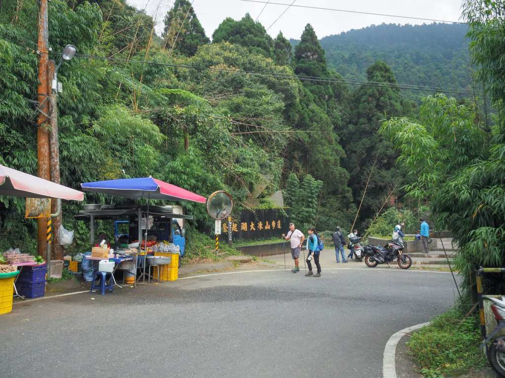
14:45 – The trailhead for Mount Dadong Trail is located about a ten-minute scooter ride out of Fenqihu. I visited on a Sunday, and found a couple of vendors gathered at the start of the trail, selling seasonal fruits such as dried persimmons and satsumas.
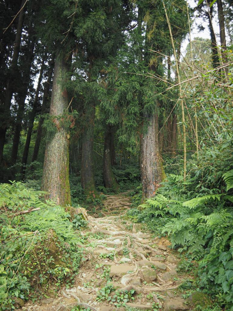
Right from the get-go, the trail treats you to some splendid trees. If there’s one great feature of this walk, it is the forest mix. There are bamboo sections, cedar sections, and even some moss-draped sections close to the summit.
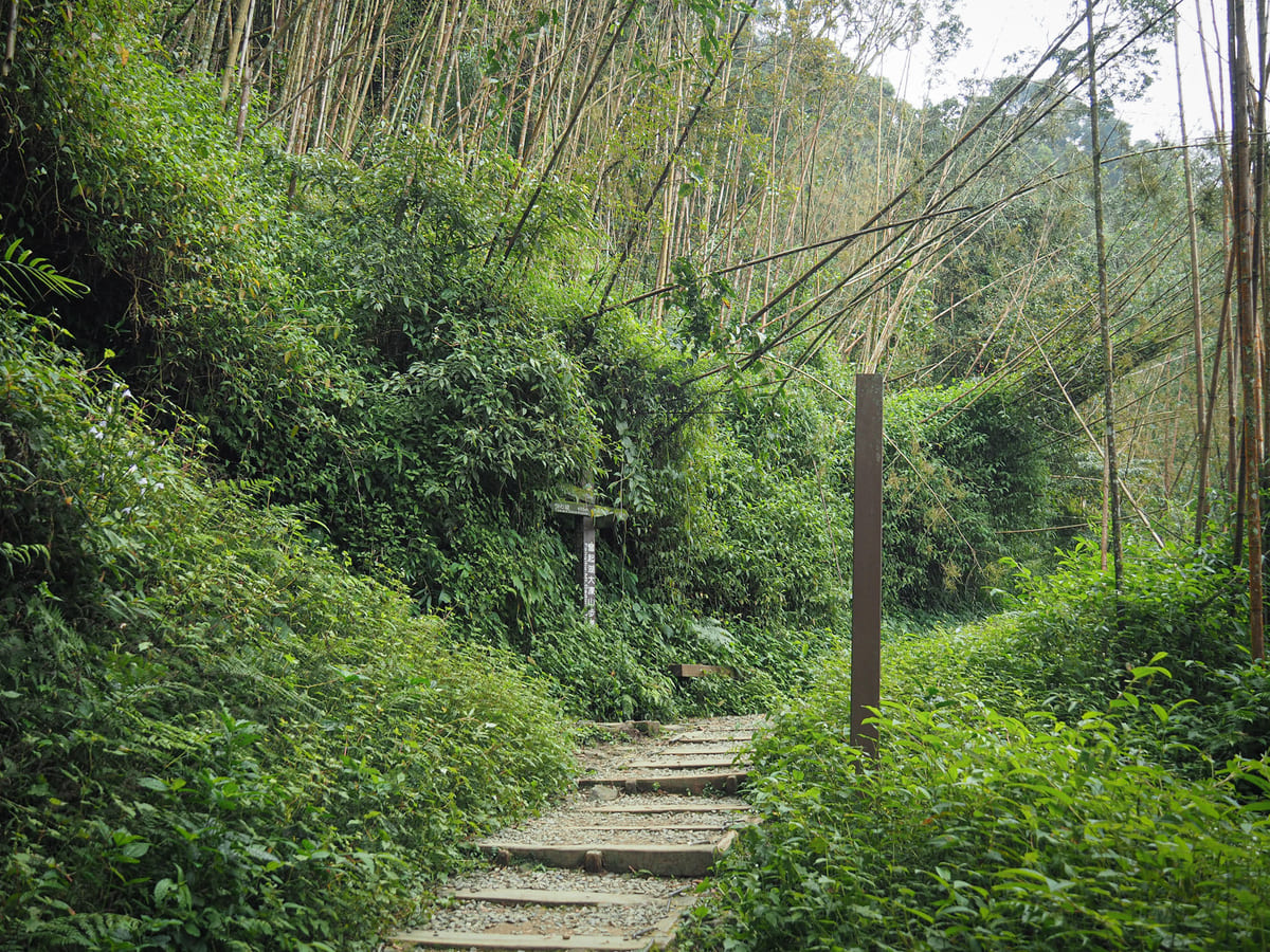
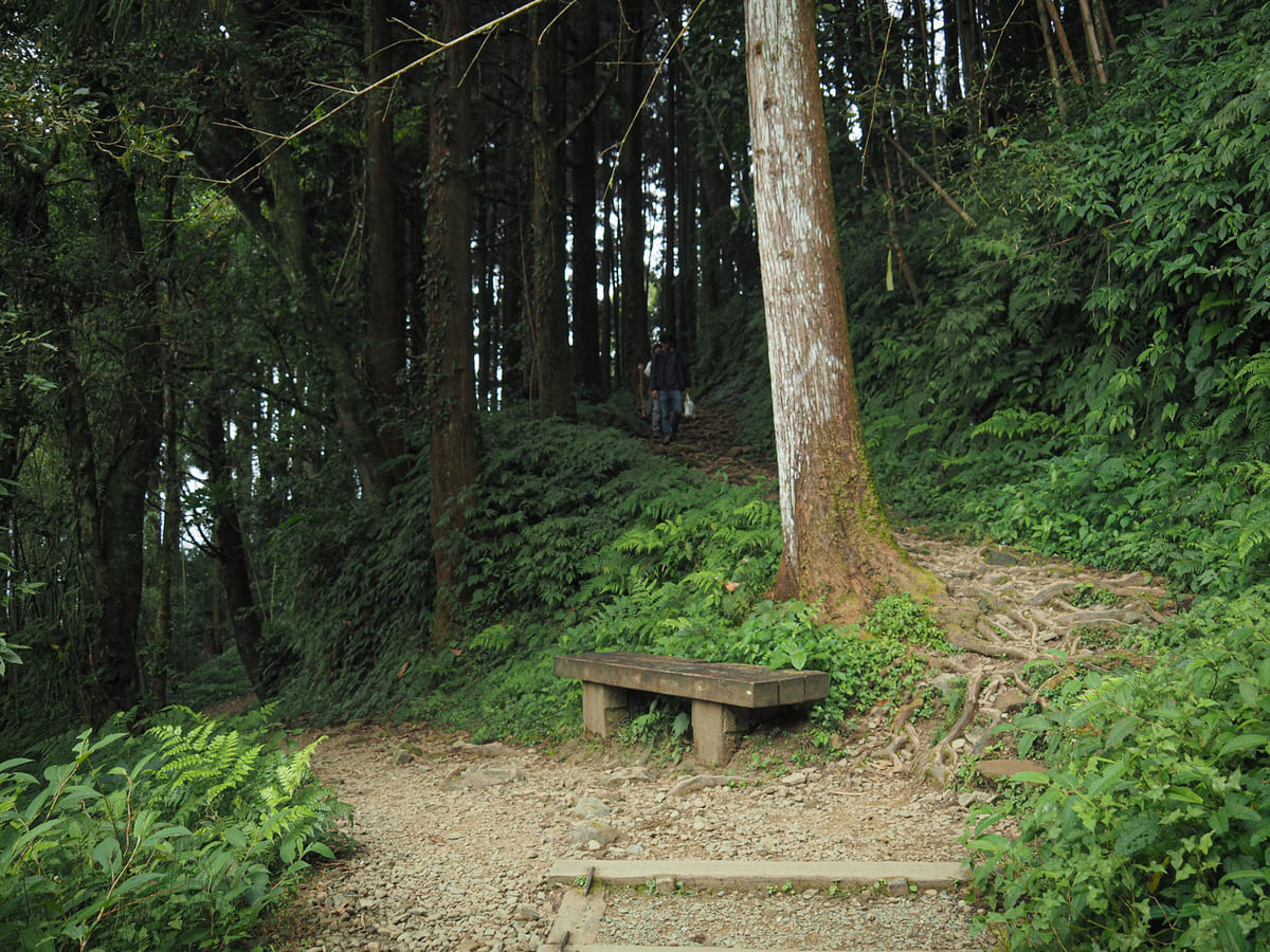
14:55 – After about ten minutes, I made it to the first of three junctions on the trail. Turn left at the first junction following the twin signs pointing towards “Pavilion” and “Tree and Stone Alliance” (this last translation is kind of cute—it’s also misspelled with a single “l”). Just another few metres later, you’ll arrive at the second junction. Here, I took the steeper and shorter righthand path.
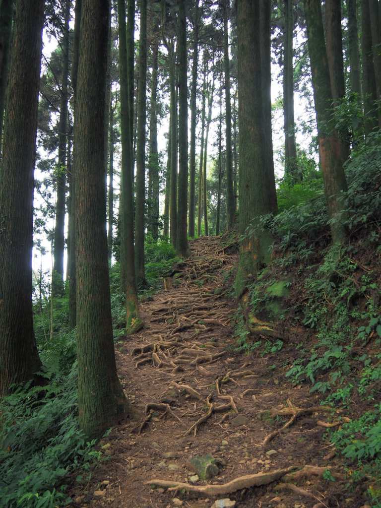
There are some beautiful exposed roots to enjoy, just make sure you keep your eyes on where you’re putting your feet.
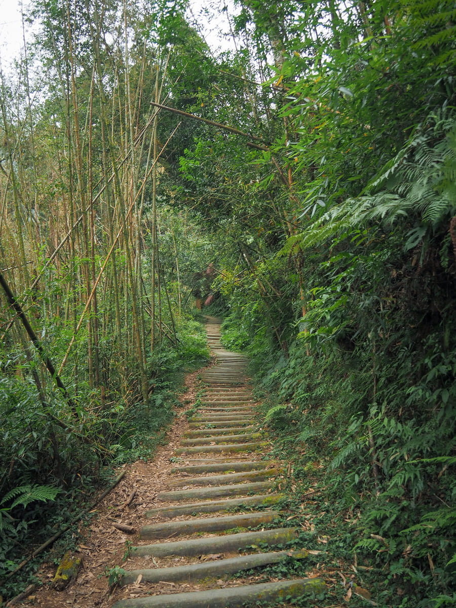
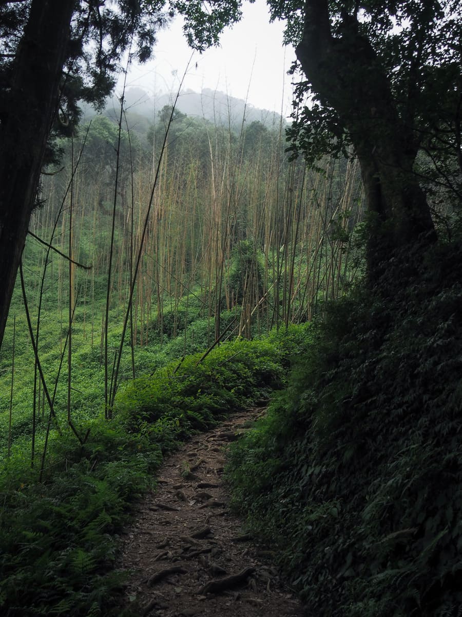
Once you climb out of the first patch of dense forest, the path opens up enough to give you a glimpse of Mount Dadong. Unusually, it looked further away than it felt.
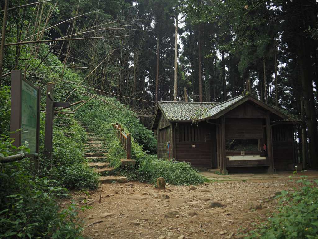
15:08 – Incredibly, there is a toilet block up here—almost half an hour up from any road. The trail heads up to the left side of the building. (The alternative path from the first junction joins here from the right.)
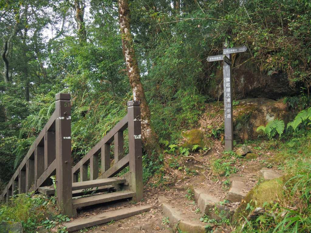
15:17 – This is the third and final junction that you’ll pass on your way to the summit. Turn right and keep heading uphill for the final 300 metres.
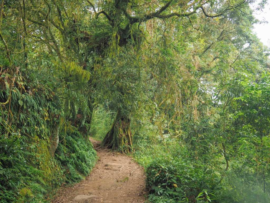
The trail passes a hut and then continues up through pretty forest.


A rustling and a grunting in the trees above me alerted me to a huge troop of monkeys in the trees above me. There were probably about 30 or 40 of them, including lots of mothers with babies.
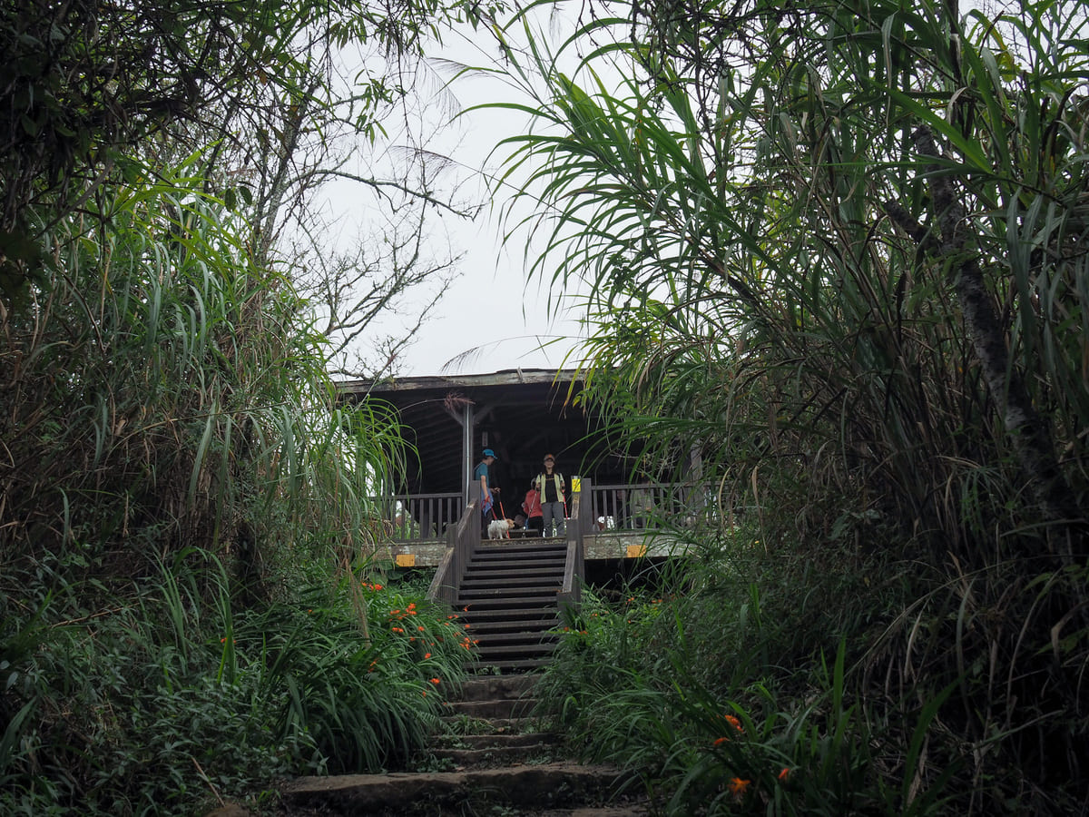
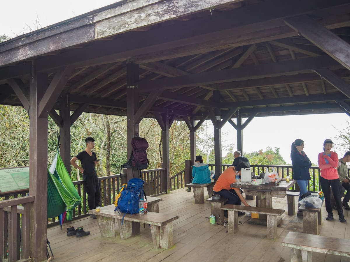
15:29 – After about 45 minutes, I arrived at the rest area built at the summit of Mount Dadaong.
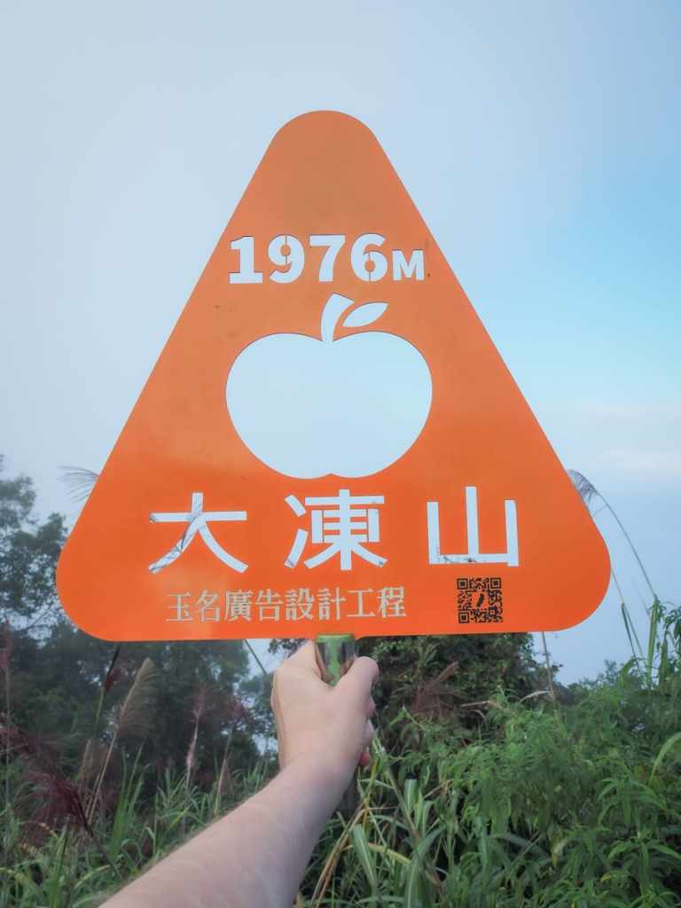
The summit marker is a rather dashing orange triangle, and as suggested by the elevation, it’s a bit cooler than lower down. A thermometer on one of the pillars said it was just 19°C (compared to Taipei, which, according to my wife, was around 30°C), so rather than hanging around and getting cold, I headed back down after only about five minutes.
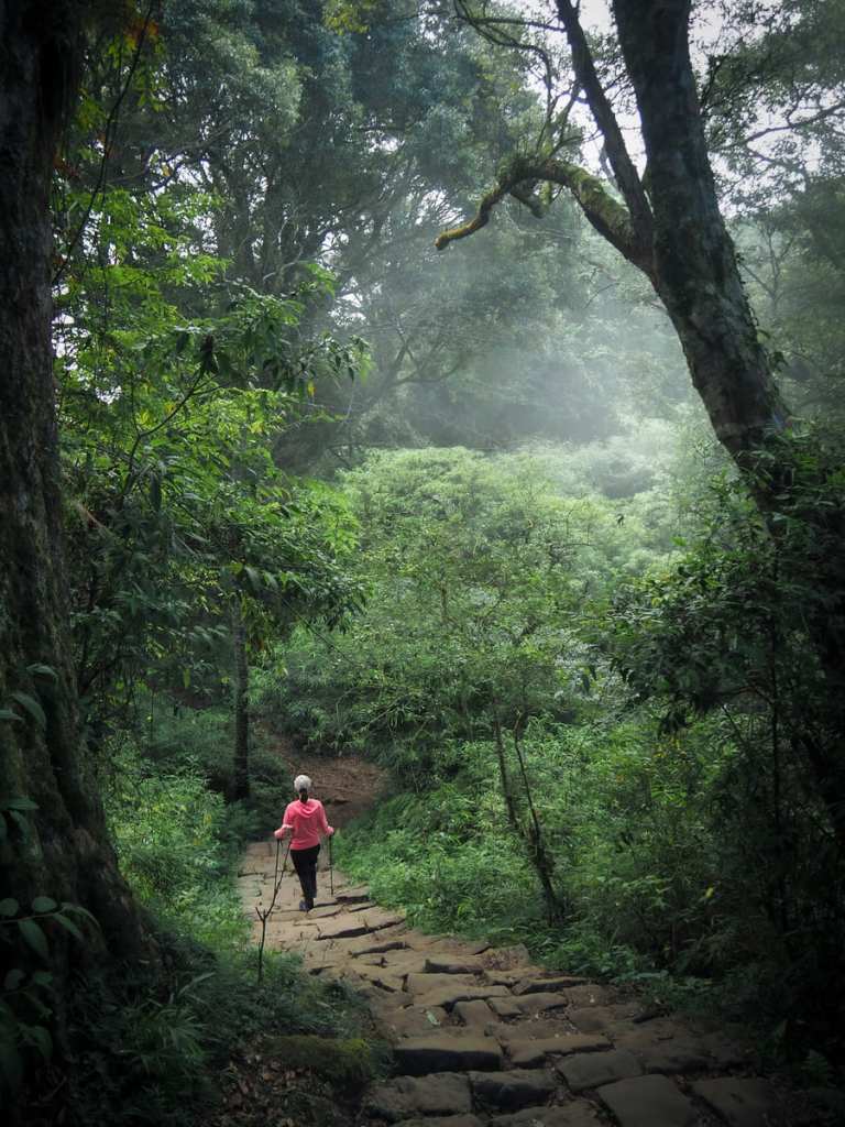
The clouds were starting to roll in by the time I was making my descent, adding an extra layer of charm to the scenery.
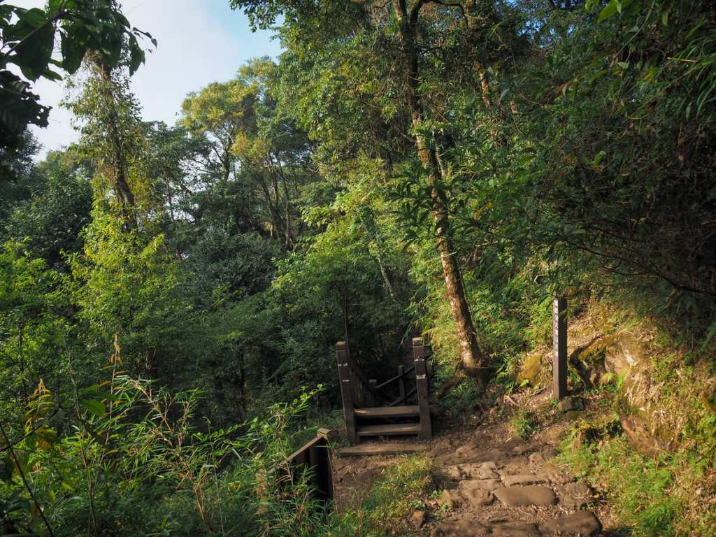
When I arrived back at the junction, I decided to take the trail on the right instead of heading back down exactly the same way I came.
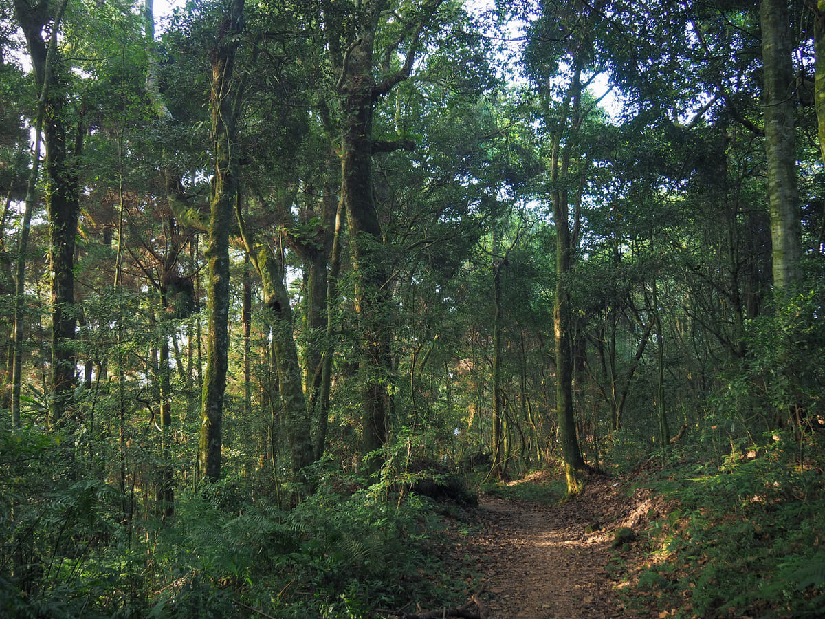
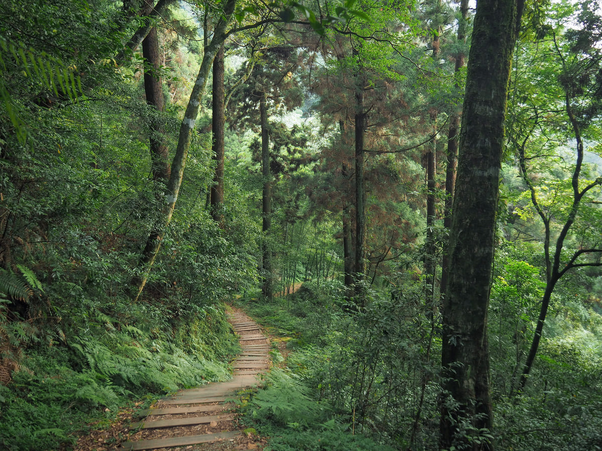
The trail here is just as pretty as the way I came, but the more gradual incline makes it a lot easier on the knees.
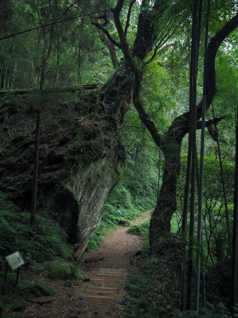
This beautiful sculpture of boulder and wood is the “Tree and Stone Alliance,” indicated by the fingerpost at the first junction.
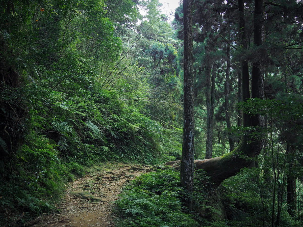
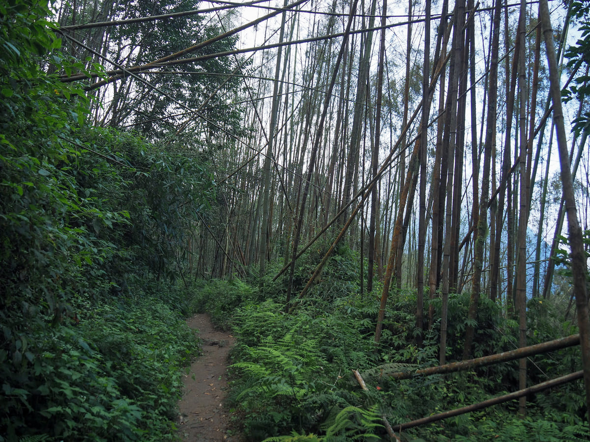
Some more lovely forest scenery along the way.
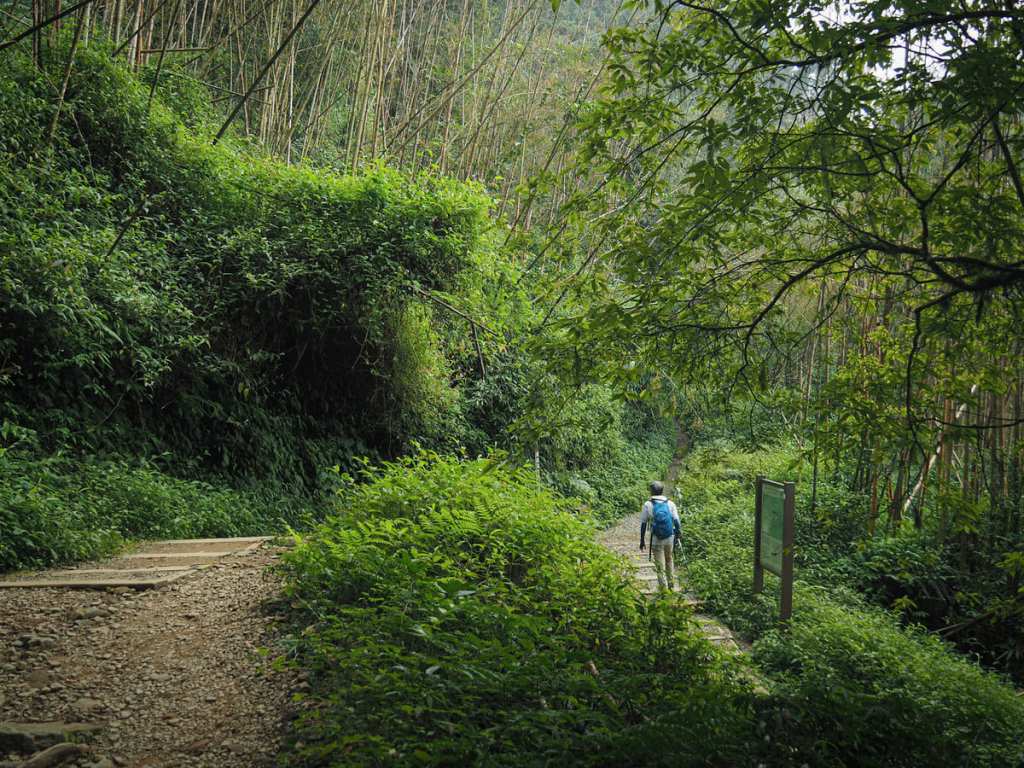
I arrived back at the first junction and turned right to head back down to the road, and found myself at the carpark before half past four.
HOW TO GET THERE
Google Maps address: There’s a spacious car park near the trailhead.
GPS location: N23 30.010 E120 42.735
Public transport: Public transport: I arrived at Fenqihu aboard the Alishan Railway from Chiayi Station. Tickets can be purchased online from the Alishan Forest Railway website. It is also possible to buy tickets on the day of travel, but the website warns that this is on a first-come, first-served basis and that the number of tickets sold each day is limited. I can’t find any info about how often tickets are sold out, but personally, I wouldn’t want to risk it (especially on weekends or holidays). As of 2026, tickets cost $384 one-way. There are also buses that will bring you here.
Nearby trails:
Mount Dadong
- Alishan Sister’s Pond Loop
- Eryanping Tea Trail
- Fenqihu Firefly Viewing Trail
- Fenqihu Trail
- Fenrui Historic Trail
FENQIHU MOUNT DADONG TRAIL MAP
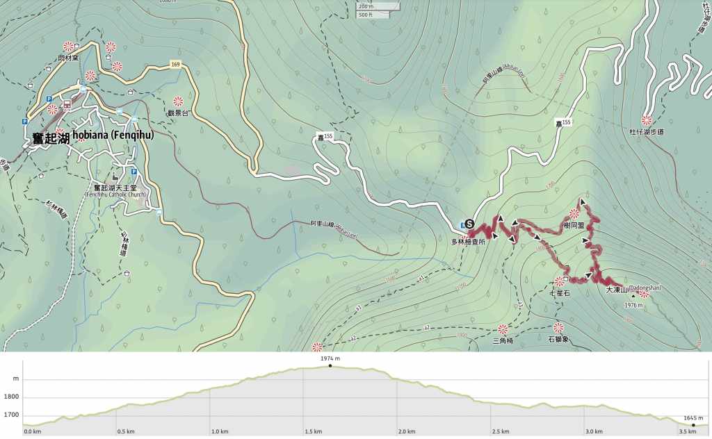
GPX file available here on Outdoor Active. (Account needed, but the free one works just fine.)
 Taiwan Trails and Tales