
Deep within Yilan’s Taipingshan National Forest Recreation Area, the Mount Wangyang Trail is an easy stroll through a magical mossy wonderland. This short path is the easiest of the three routes close to Cueifeng Villa, and what’s more, it offers the best views too… if the weather is being cooperative.
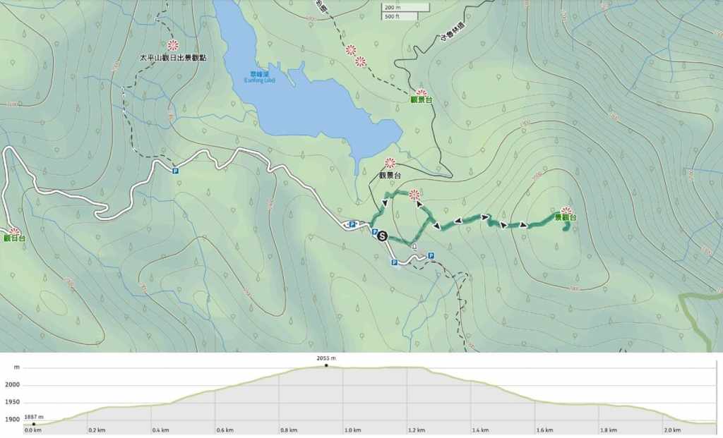
Distance: 2.2 kilometres – If you have time and energy, this could be combined with a loop of Cueifeng Lake to make it a longer walk.
Time: 1½-2½ hours – We walked this at a very relaxed place and were finished in under two hours.
Difficulty (regular Taiwan hiker): 2-3/10 – A bit of elevation gain, some steps, the path is either up or down, but overall, still an easy trail.
Difficulty (new Taiwan hiker): 3-5/10 – If you’re new to Taiwan hiking, but in good shape, this is probably on the upper end of easy. If you don’t often exercise, it might be a more moderate hike due to the amount of climbing. That said, the path is clear, easy to follow, and well-kept.
Total ascent: About 170 metres.
Water: On a warm autumn day, we took just 0.5L each, but a would have wanted more in summer. Some snacks would also help sweeten the return climb, too. You will need to make sure you take your supplies with you, since there’s nowhere to buy anything or stock up once you hit the trailhead (and the park’s store over near Taipingshan Village has a very sorry selection of snacks).
Shade: The shade on this route is best described as dappled.
Mobile network: Almost no mobile coverage for the entirety of the walk.
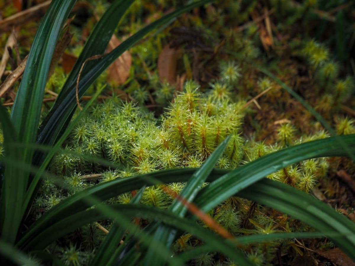
Enjoyment: This is an excellent trail, especially if you go early and are able to enjoy the view. Even without the view, you can expect top-notch moss.
Other: If you’re lucky enough to stay at Cueifeng Villa, this would be an excellent sunrise viewing hike. The viewing platform at the top faces east, so the early morning display is spectacular.
Bathroom facilities: There’s a toilet block by the carpark at the start of the walk.
Route type: Lollipop loop (but the summit is the end of the stick).
Permit: None needed, but you need to pay to enter the park.
Jump to the bottom of this post for a trail map and GPX file.
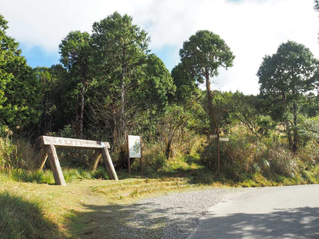
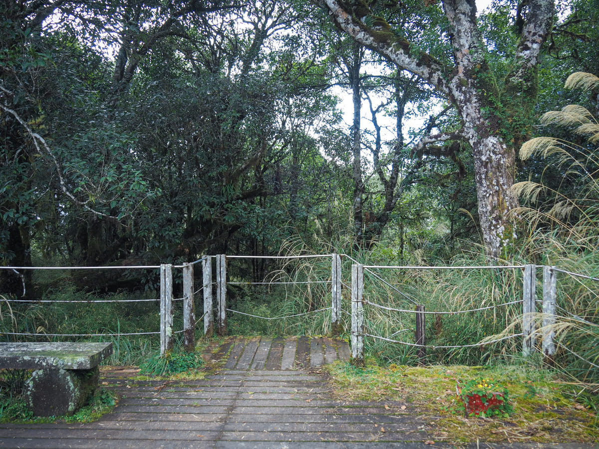
The Mount Wangyang Trail is one of three walks that start from the carpark and helipad by Cueifeng Lake. In fact, there are two entrances to this trail. We started at this one, which is at the rear end of the carpark, and returned via the other one.
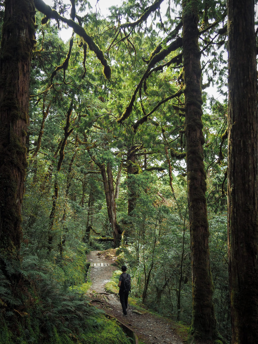
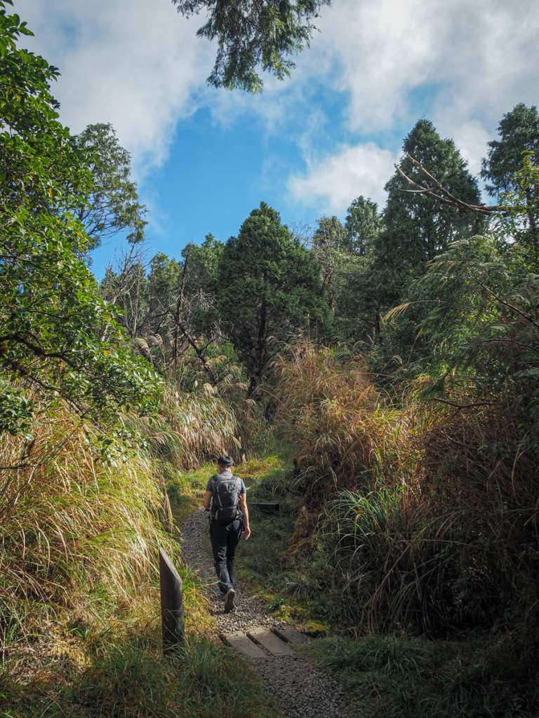
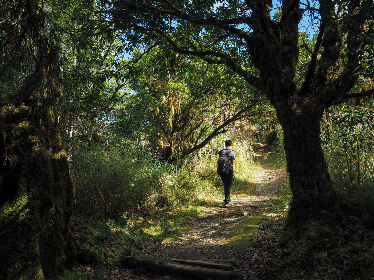
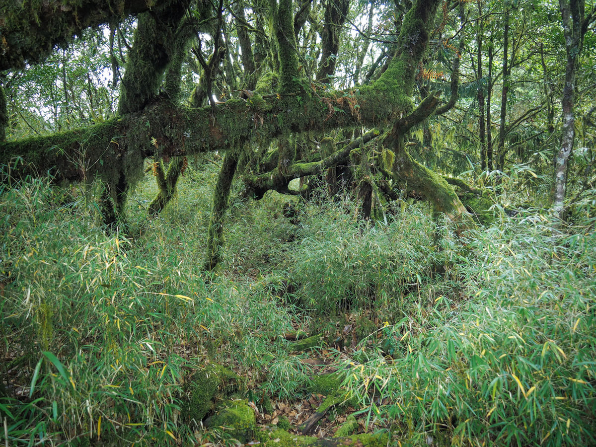
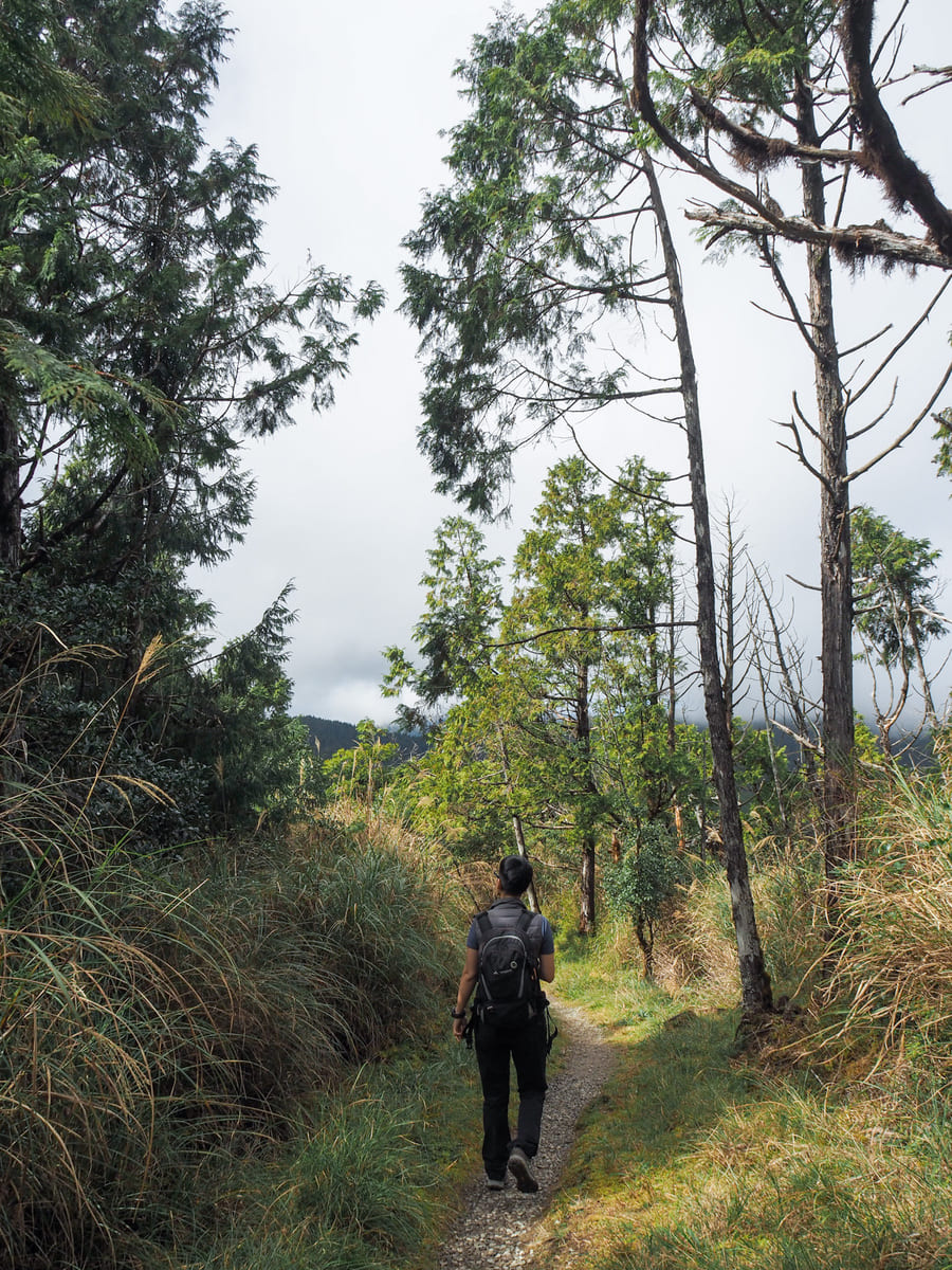
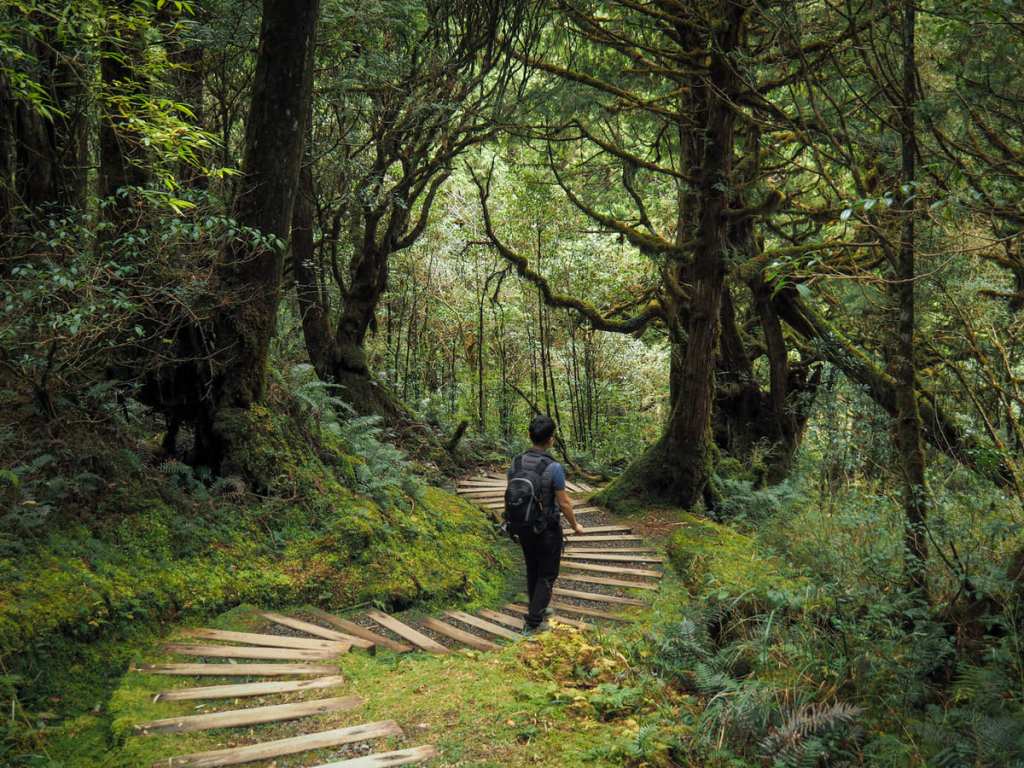
The tone of the walk is set from the start as the trail begins its gradual climb up through pretty forests.
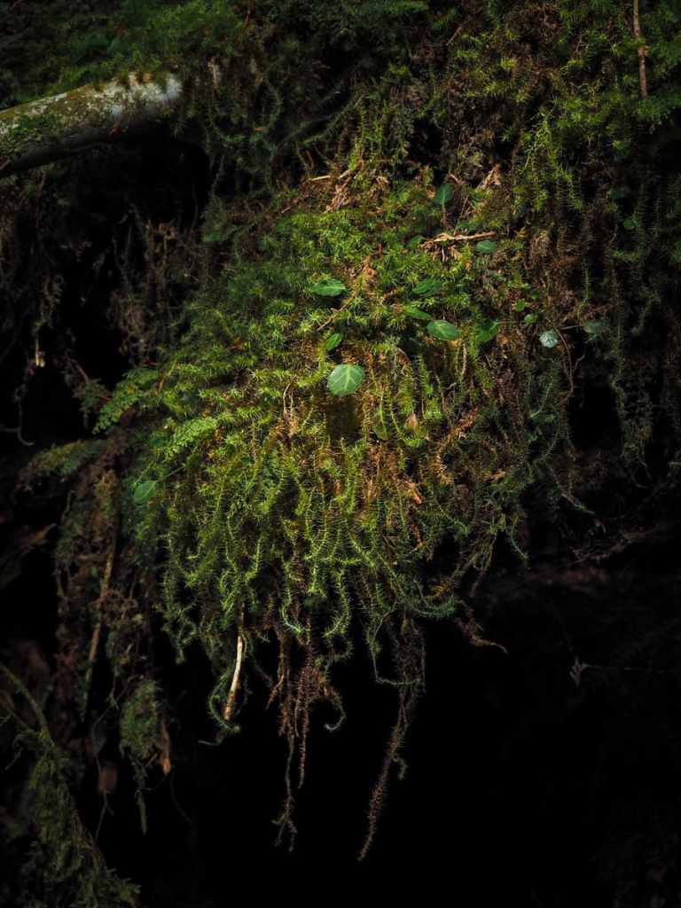
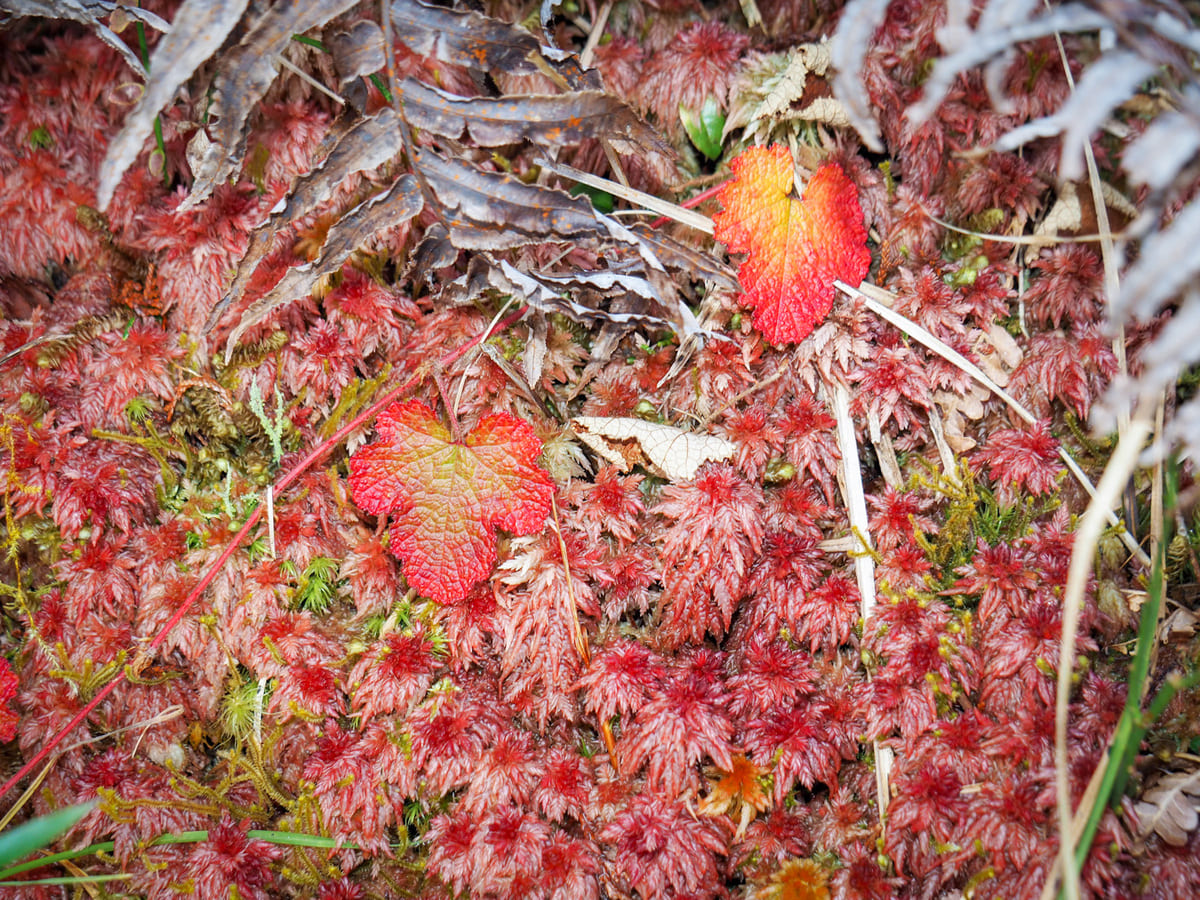
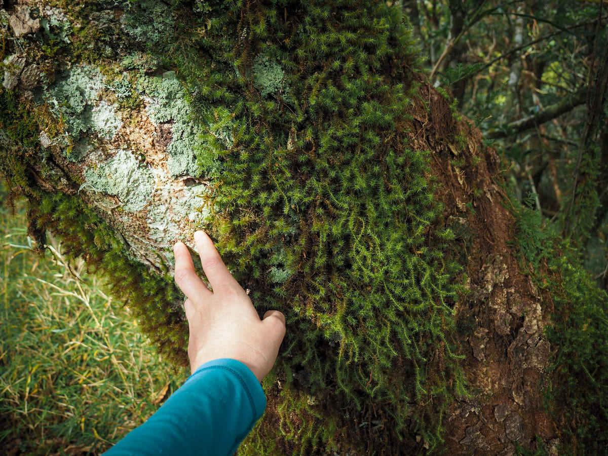
I made slow progress because every fallen tree is its own mossy universe that I wanted to stop and admire.
I mean, just look at these colours, structures and textures. I want to pour them into my eyes the same way I want to fill my ears with my favourite songs.
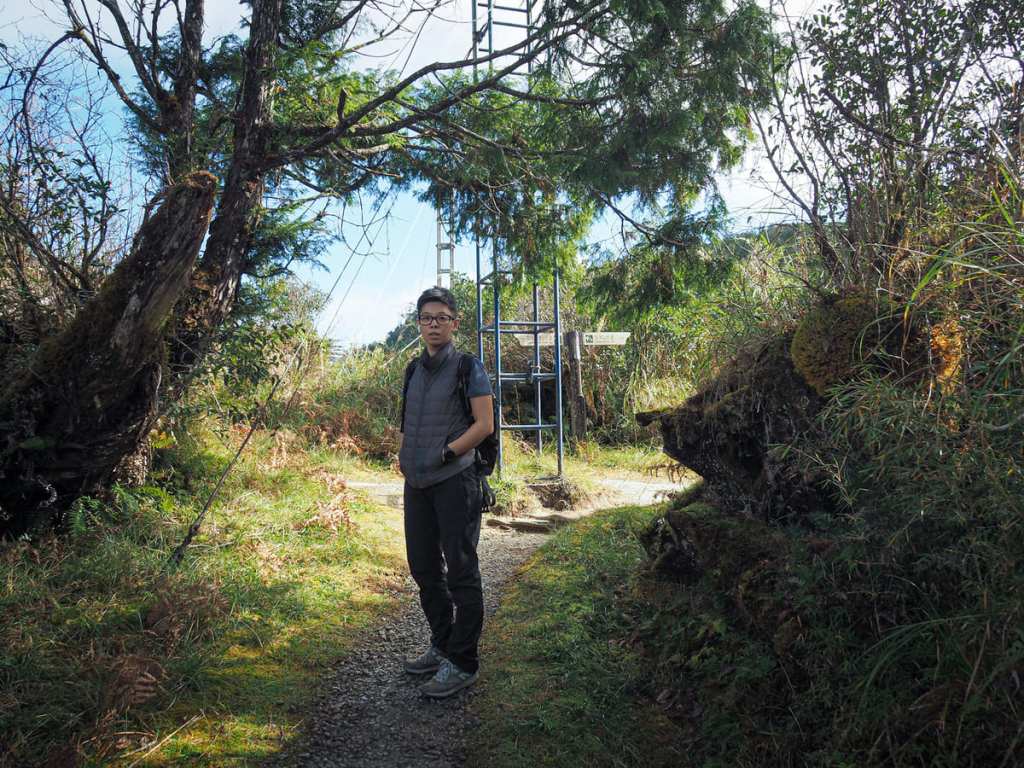
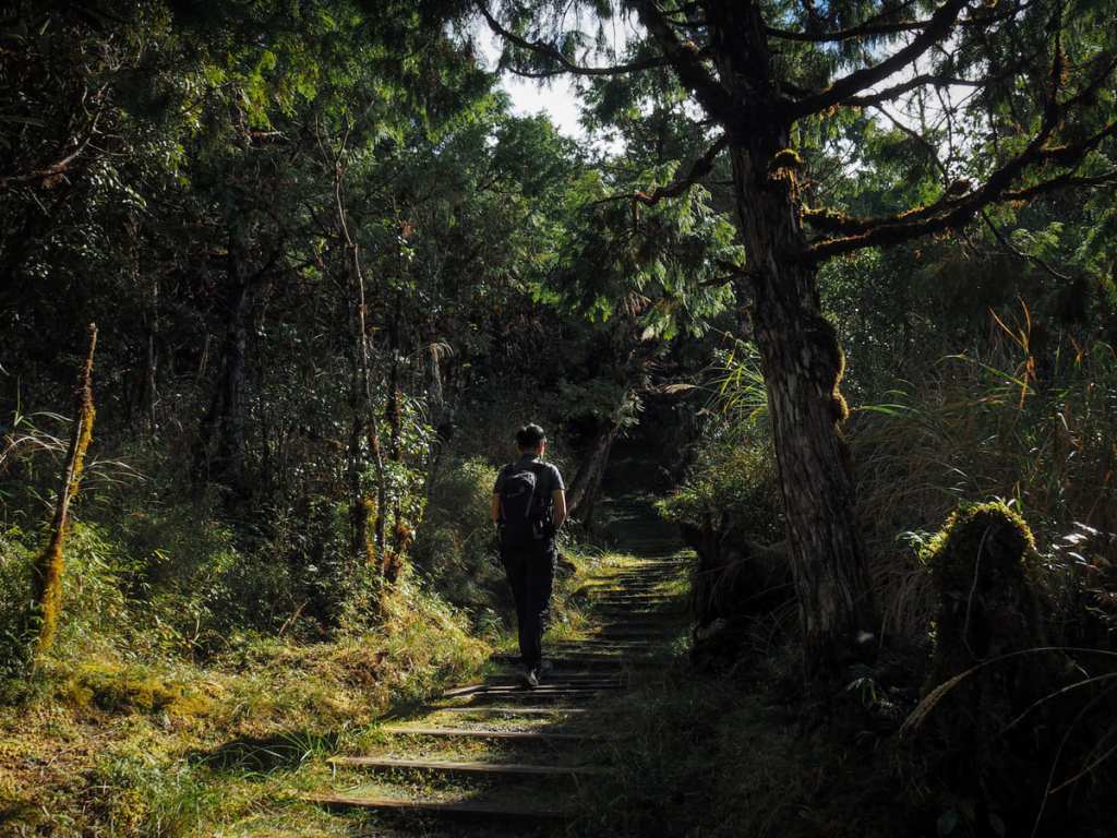
After ten minutes, we reached the first (and almost only) junction of the walk. Turn right here and continue heading up to the summit of Mount Wangyang.
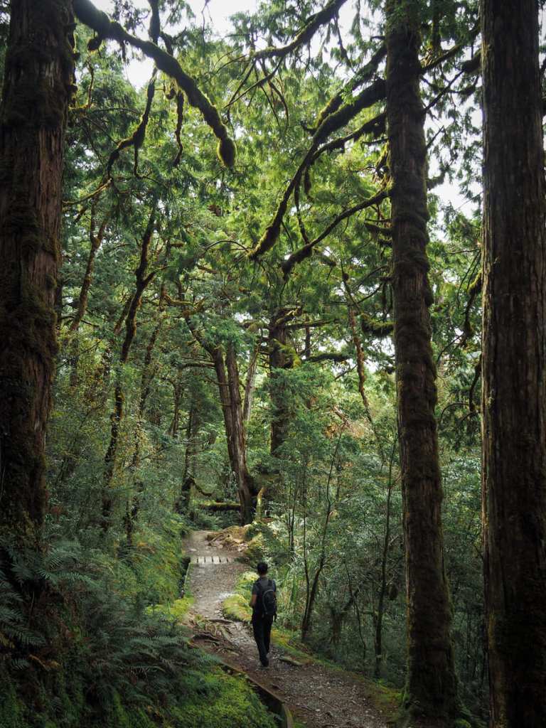
In truth, there’s not much need for any more photos because it’s just one way up and the same way down. However, it’s too pretty not to share a few more from the ascent.
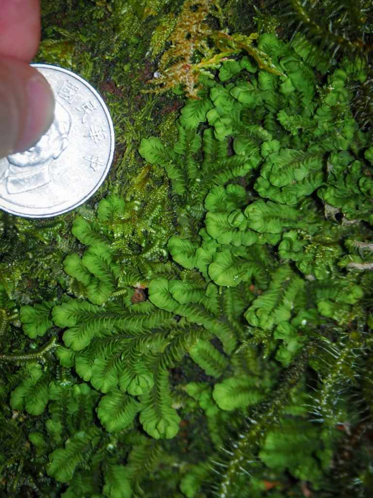
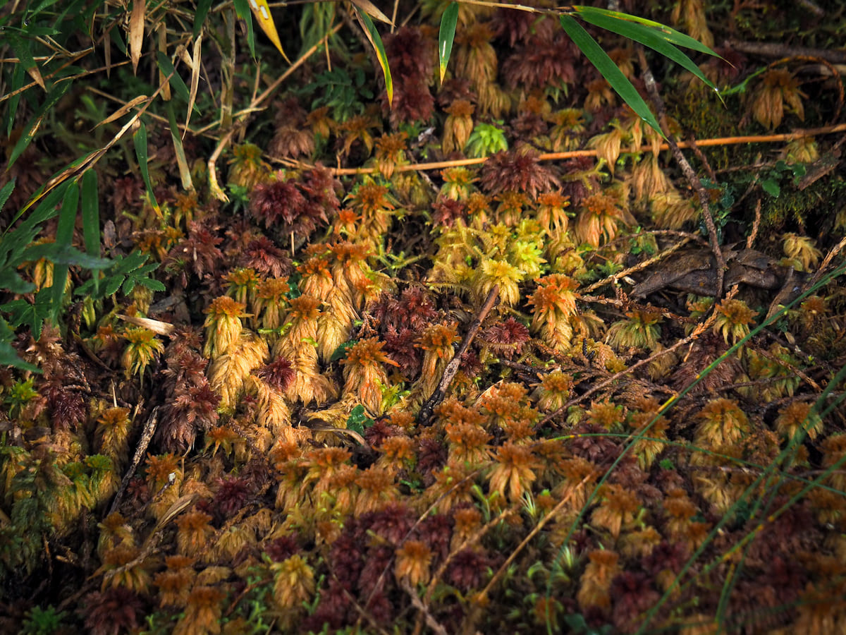
I think this is some type of liverwort rather than a moss. I love the precise shape of each segment and I think it looks kind of like a worm.

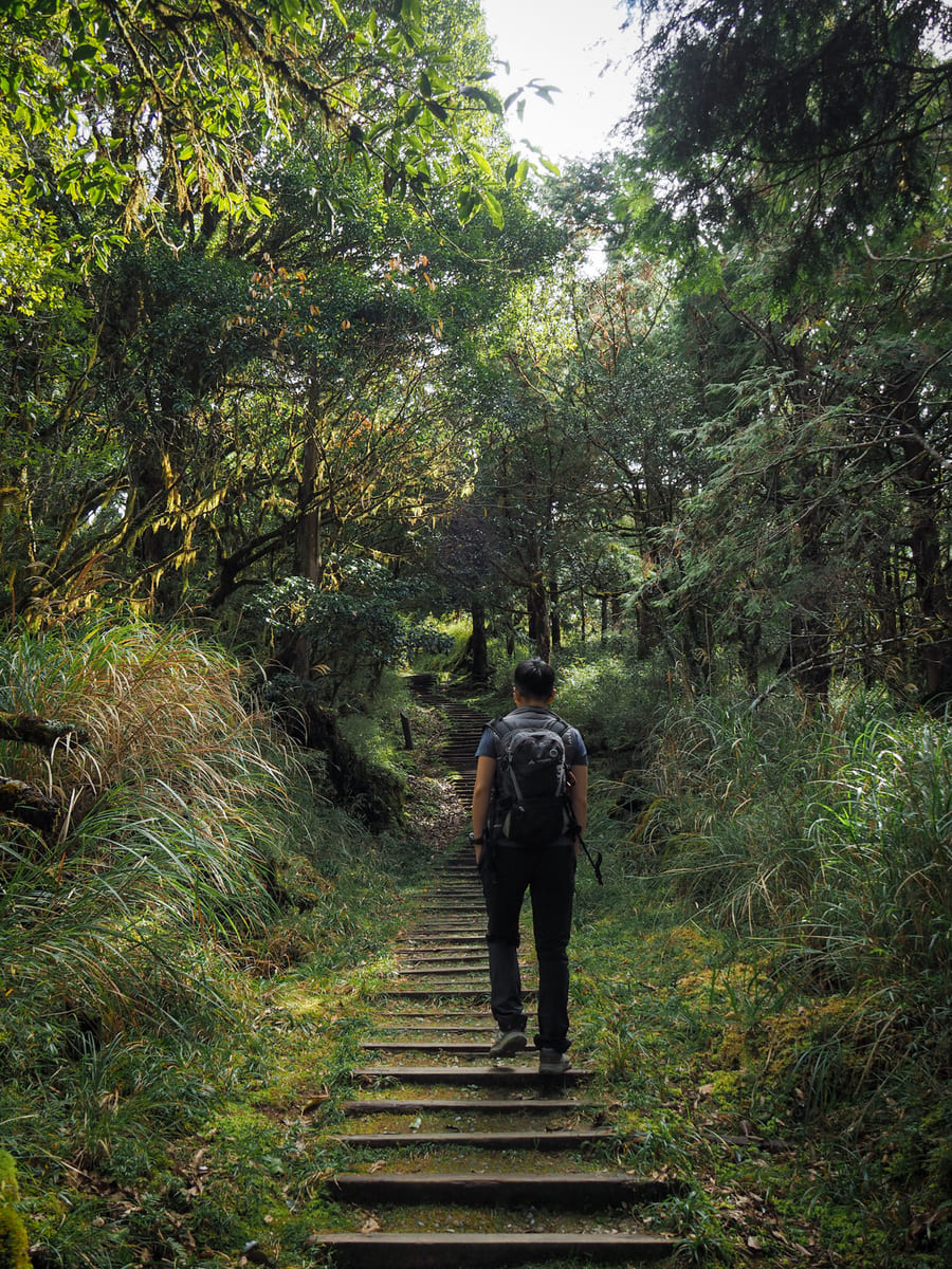
While the path climbs continuously, the climb is gentle and gradual, so if you pace yourself, you shouldn’t get too out of breath.
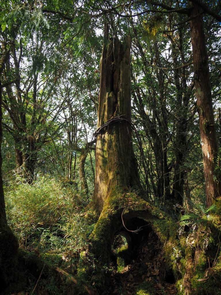
A sign to the right of the trail indicated that this rotting stump is an old headspar from one of the logging cableways that were erected to transport lumber from the high up slopes to flat lands of the Langyang Plane.
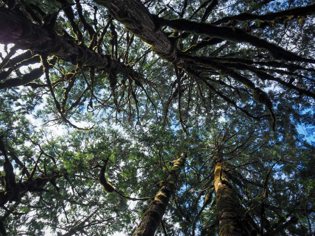
The quality of the sunlight, as well as the interplay of light and shadow on the trees up at this elevation, is so pretty.
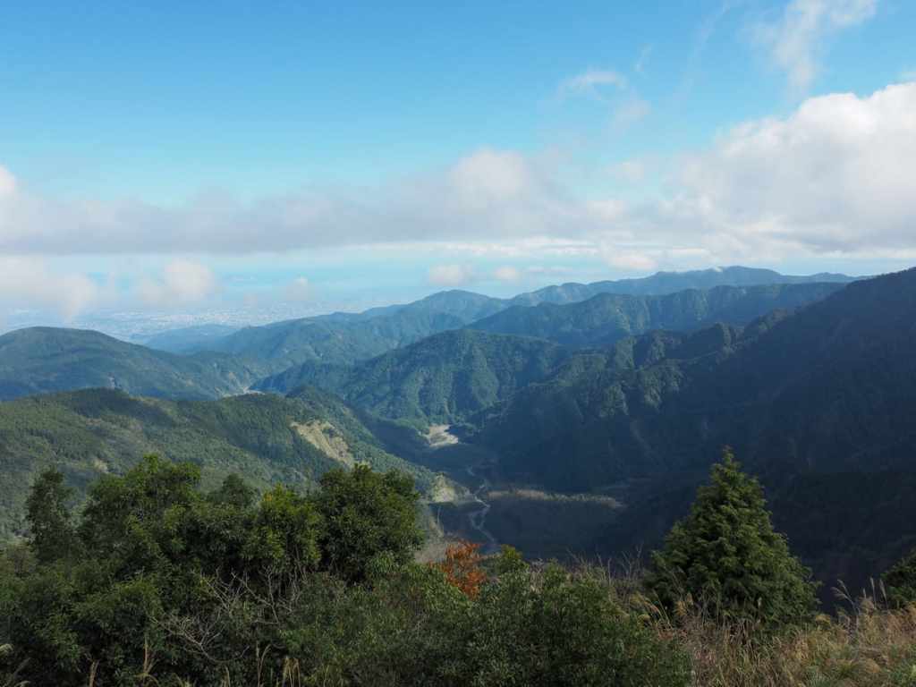
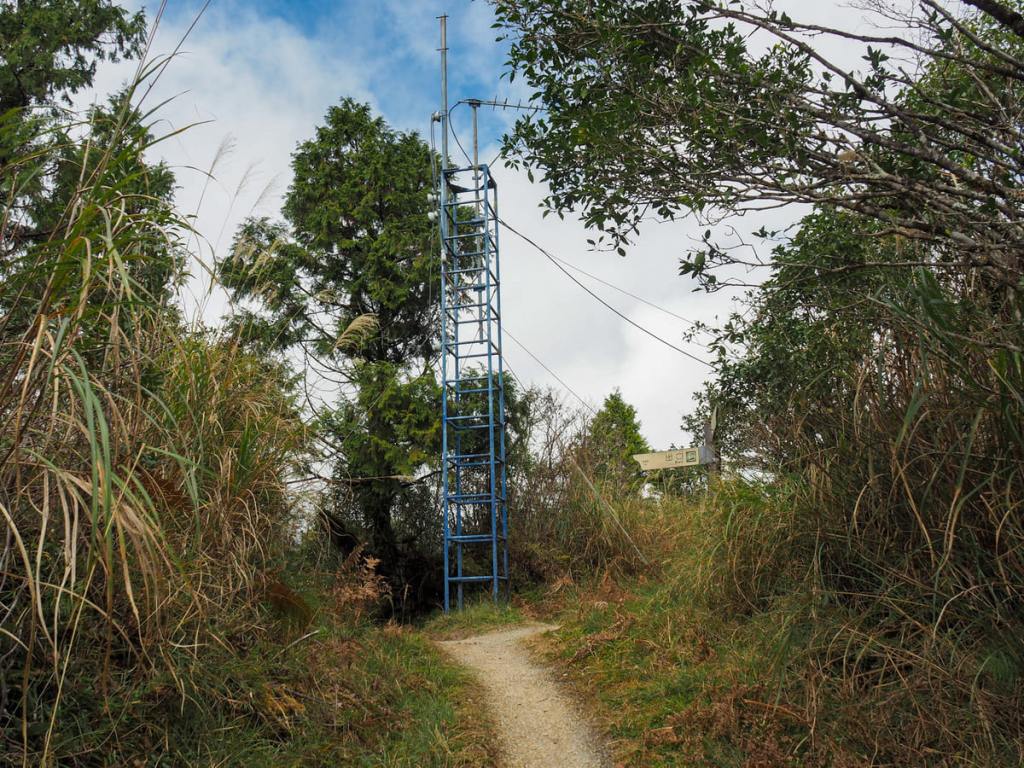
About 40 minutes after setting off, we arrived at the viewing platform close to the top of Mount Wangyang. We interrupted a pair of napping Hong Kongers who told us they’d ridden their motorbikes from Taipei that morning in the hopes of seeing the sunrise. (They’d been thwarted, because the park gates don’t open until 6:00, but had they been in the park already, they would have had a great view of the sunrise from here.)
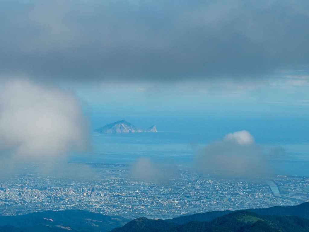
Looking northeastish in clear weather, you can just about make out Turtle Island swimming just off the coast behind the buildings of Yilan City. From this angle, it is very easy to see why it got its name.
The true summit of Mount Wangyang is just a couple of minutes away from the viewing platform, through a sea of shoulder-height bamboo and grasses.
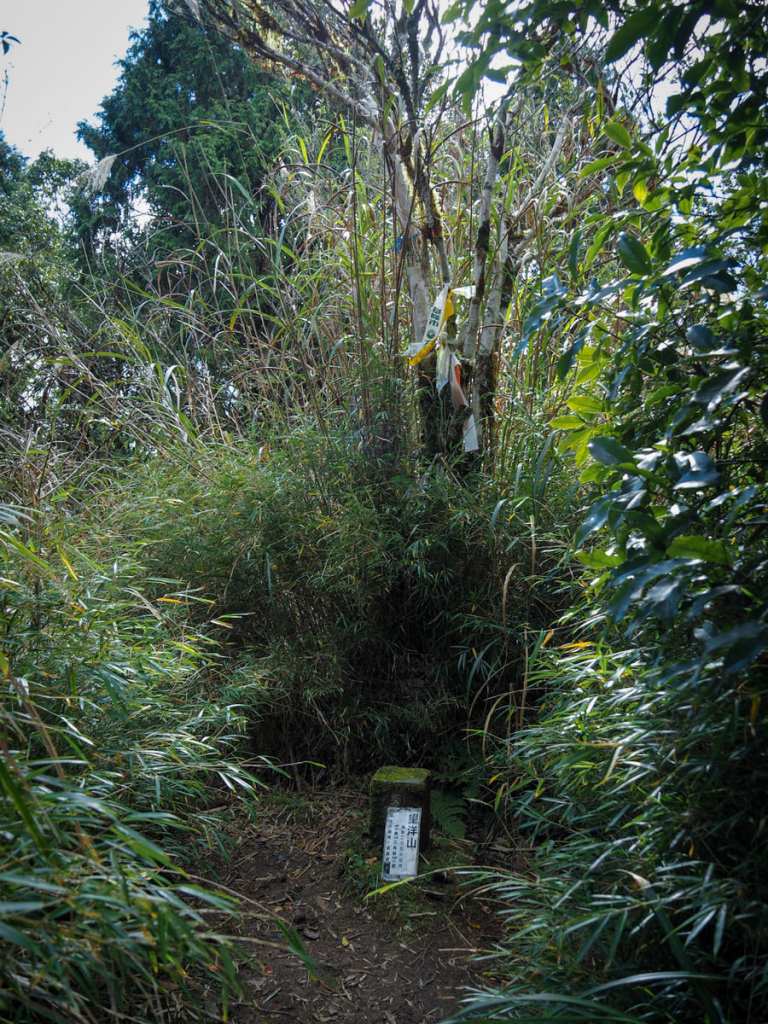
It seems like more people probably don’t venture off the main track and make it to the peak’s triangulation marker because this tiny clearing is overgrown and (despite the peak’s name meaning something like “Ocean View”) has no view at all.
When we returned from our little visit to see the summit, the clouds had rolled in, completely obscuring the view of Yilan and Turtle Island. We had a little snack as we watched the clouds, then returned back down the same way we had come.
When we made it back to the junction, we took the right hand fork to head down towards the Cueifeng Lake Trail.
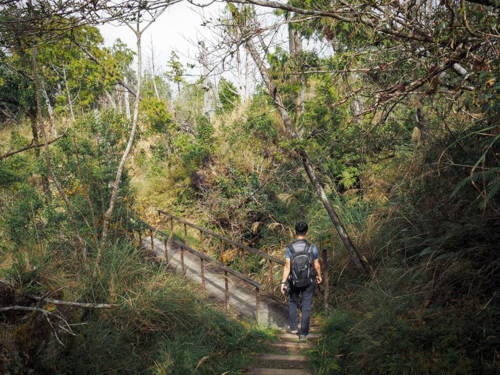
A bridge across a dry creek bed.
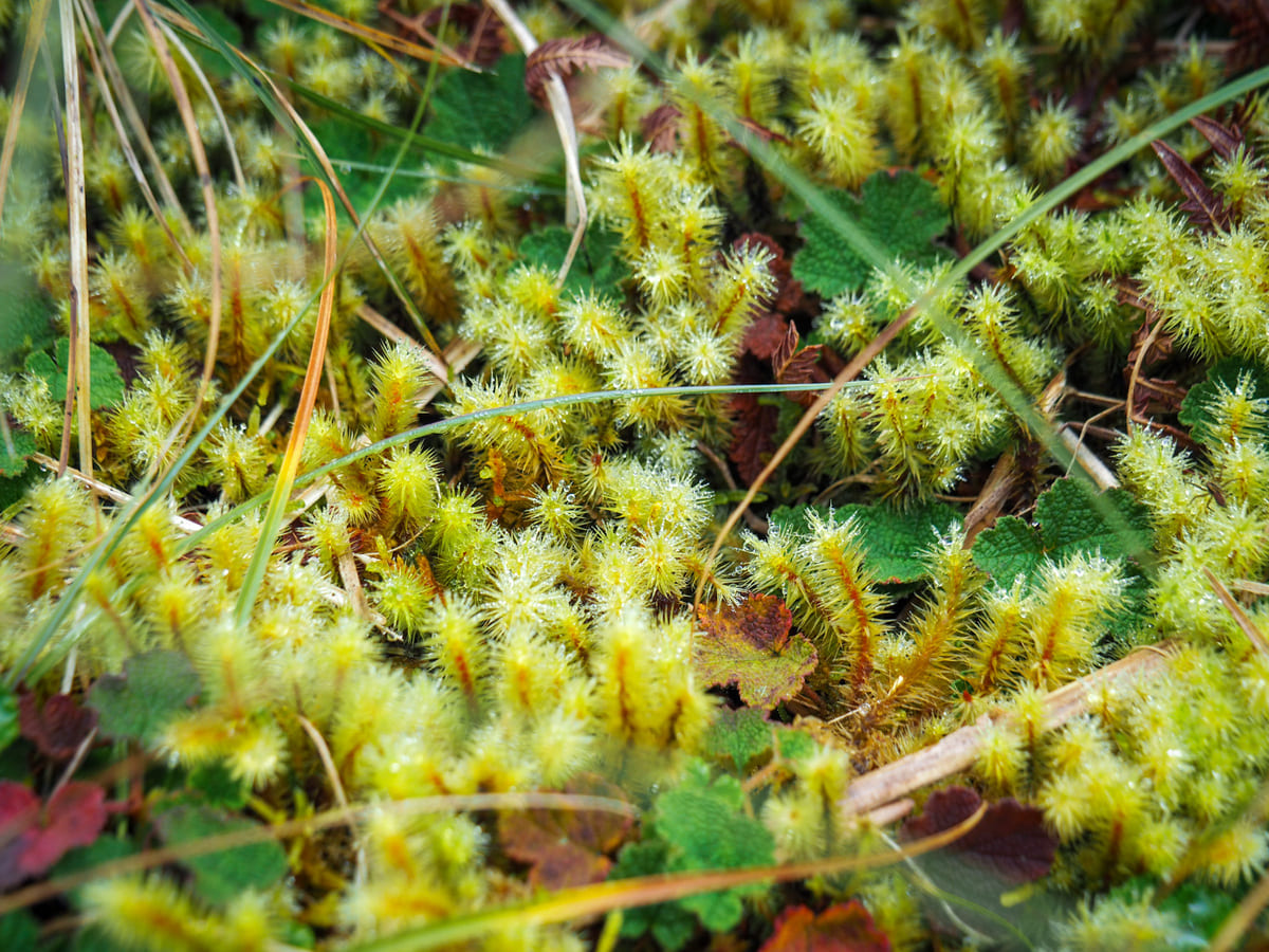
More of the marvelous mosses. They seem to be especially good in this one small corner of the park. We also saw many mosses on this side of the Cueifeng Lake Trail.
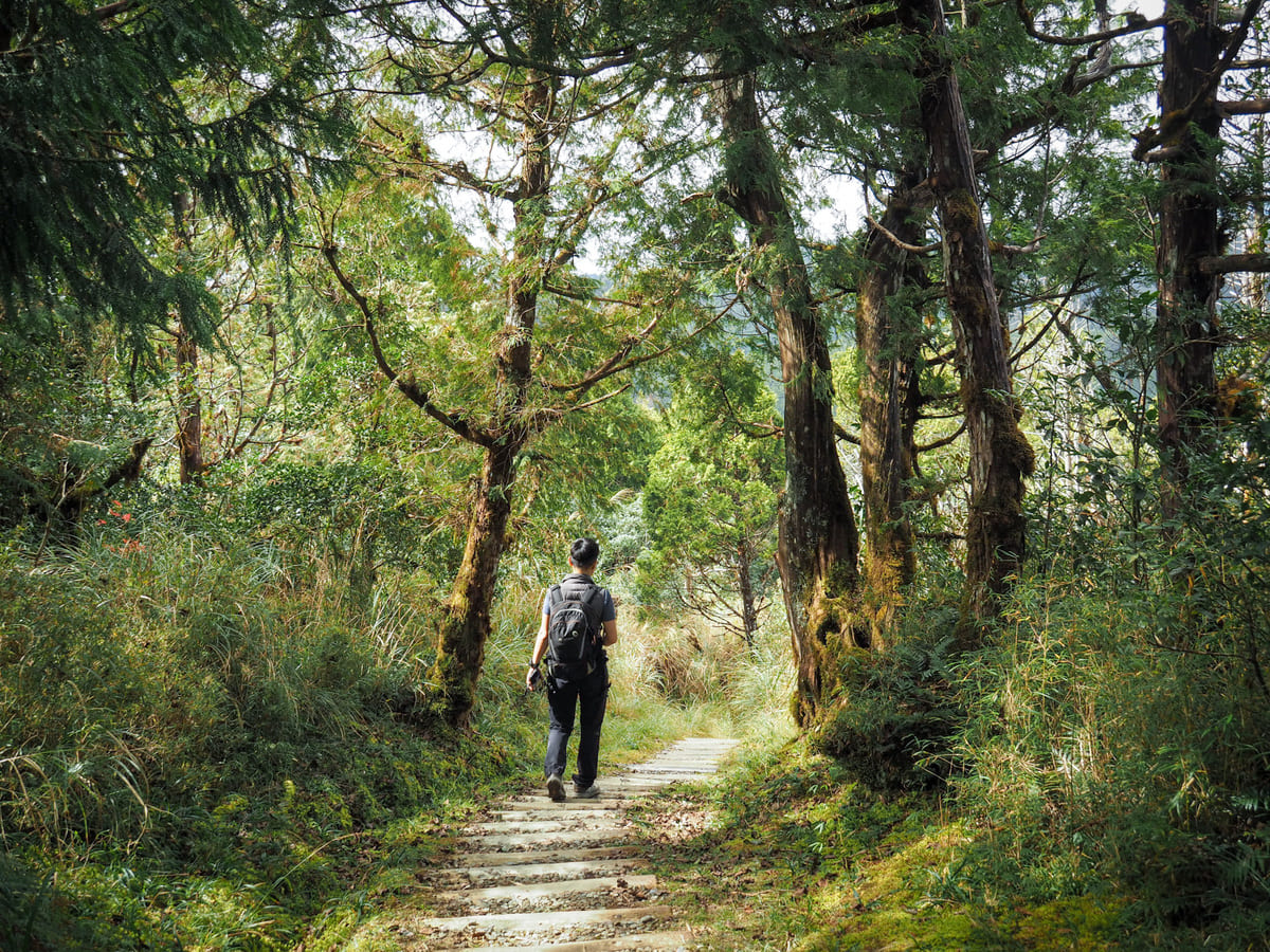
Gently zigzagging steps lead downwards.
The very final little section of descent takes you through forests which feel slightly different compared to the rest of the walk.
And if you look up, you can see puffy balls of moss gathered around the trees’ branches.
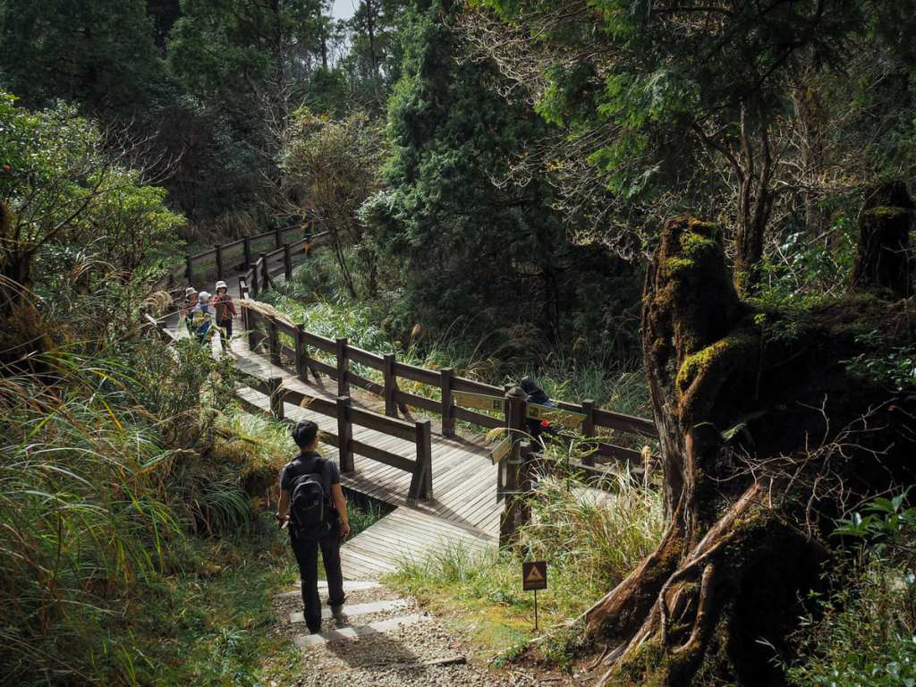
The Mount Wangyang Trail ends where it joins the Cueifeng Lake Trail. If you’ve not walked around Cueifeng Lake before and you have enough time/provisions, I highly recommend extending your walk to include it. However, on this occasion, we were only planning on walking the Mount Wangyang Trail, so we turned left to head back to the carpark.
How to get to Mount Wangyang Trail
Google Maps address: The walk starts close to Cueifeng Lake, deep inside Taipingshan National Forest Recreation Area. There’s a sizeable car park here.
GPS location: N24 30.560 E121 36.600
Public transport: There’s no public transport that will take you to Cueifeng Lake; the only options are to drive yourself there or to hire a driver to take you.
Nearby trails:
- Cueifeng Lake
- Cypress Trail
- Jancing Historic Trail
- Jiuzhize Nature Trail
- Maosing Loop Trail
- Maosing Main Trail
- Mount Sanxing
- Taiwan Beech Trail
- Taiwan Hemlock Trail
Mount Wangyang Trail Map
GPX file available here on Outdoor Active. (Account needed, but the free one works just fine.)
