DISTANCE: About 5km.
TIME: 1½ – 2 hours.
TOTAL ASCENT: Around 160 metres.
DIFFICULTY (REGULAR TAIWAN HIKERS): 2/10 – There’s a hill, but the walking is easy.
DIFFICULTY (NEW HIKERS): 3/10 – Even for someone new to Taiwan’s trails, this should be an easy walk. There is a small amount of elevation gain, but the path is clear and easy to follow.
SIGNAGE: There isn’t much signage, but you’d still struggle to get lost on this route.
FOOD AND WATER: I took a 0.5L bottle, but I don’t think I had more than a few sips on a cool February day.
SHADE: Only the final section is shaded. The rest is pretty exposed.
MOBILE NETWORK: Clear throughout.
ENJOYMENT: This is another of those Xiao Bai Yue (along with Mount Maolan and Mount Heng that I suspect only made it onto the list to increase representation in a specific area.
SOLO HIKE-ABILITY: This is probably quite a lonely (as in quiet) hike if you’re alone, but it’s certainly safe.
TAIWAN 100 MINOR PEAKS: Number 90
ROUTE TYPE: There and back.
PERMIT: None needed.
Jump to the bottom of this post for a trail map and GPX file.
Google Maps and the Hiking Notes app’s map both indicate that the trail starts here on the right, but while there are definitely remains of a trail here, it doesn’t look like it’s used much anymore.
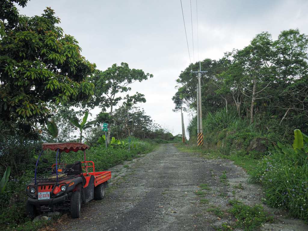
So instead, we walked back a little way to find this junction (just opposite the car on the left), and followed the farm track uphill. A sign at the bottom of the track warns drivers that it isn’t suitable for cars, but despite that, we met the pair of aunties in the black car returning down to pick up their vehicle because they thought it seemed doable. (They soon passed us, wheels spinning only slightly on the mud and loose gravel.)
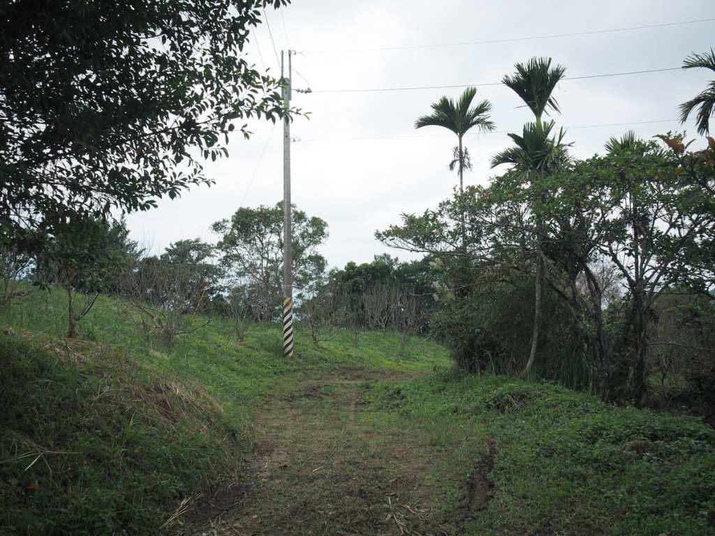
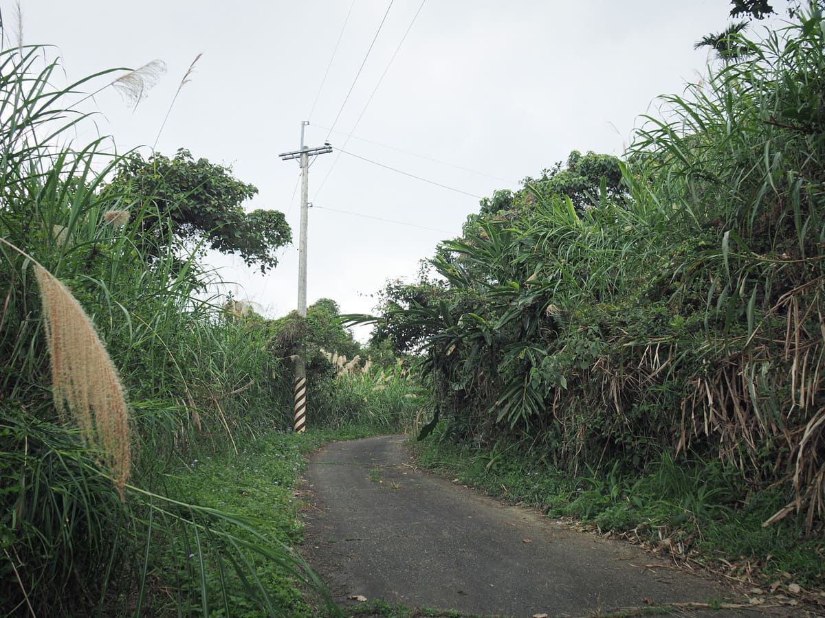
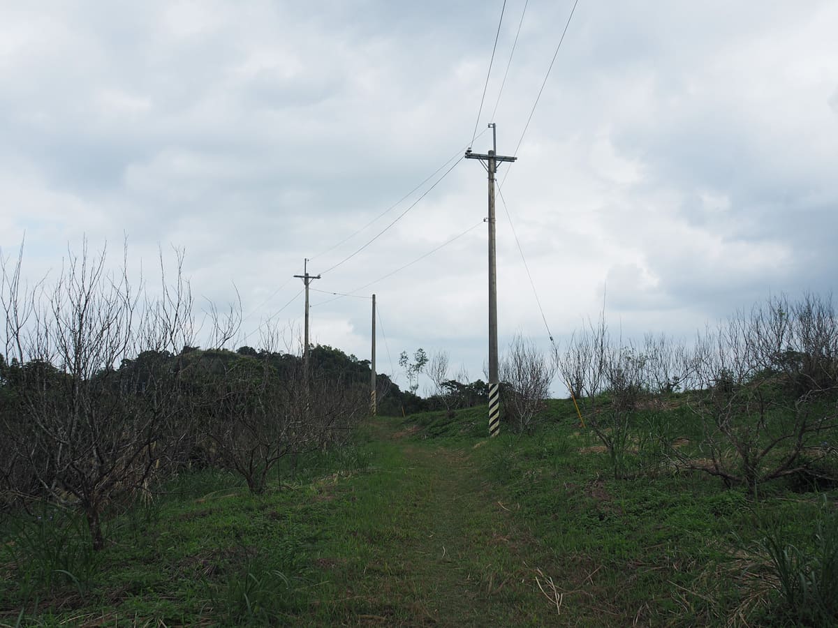
The drivable track runs out after about 15 minutes of walking, and we met up with the aunties for a fourth time (the first was when they passed us parking and asked where the trailhead was).
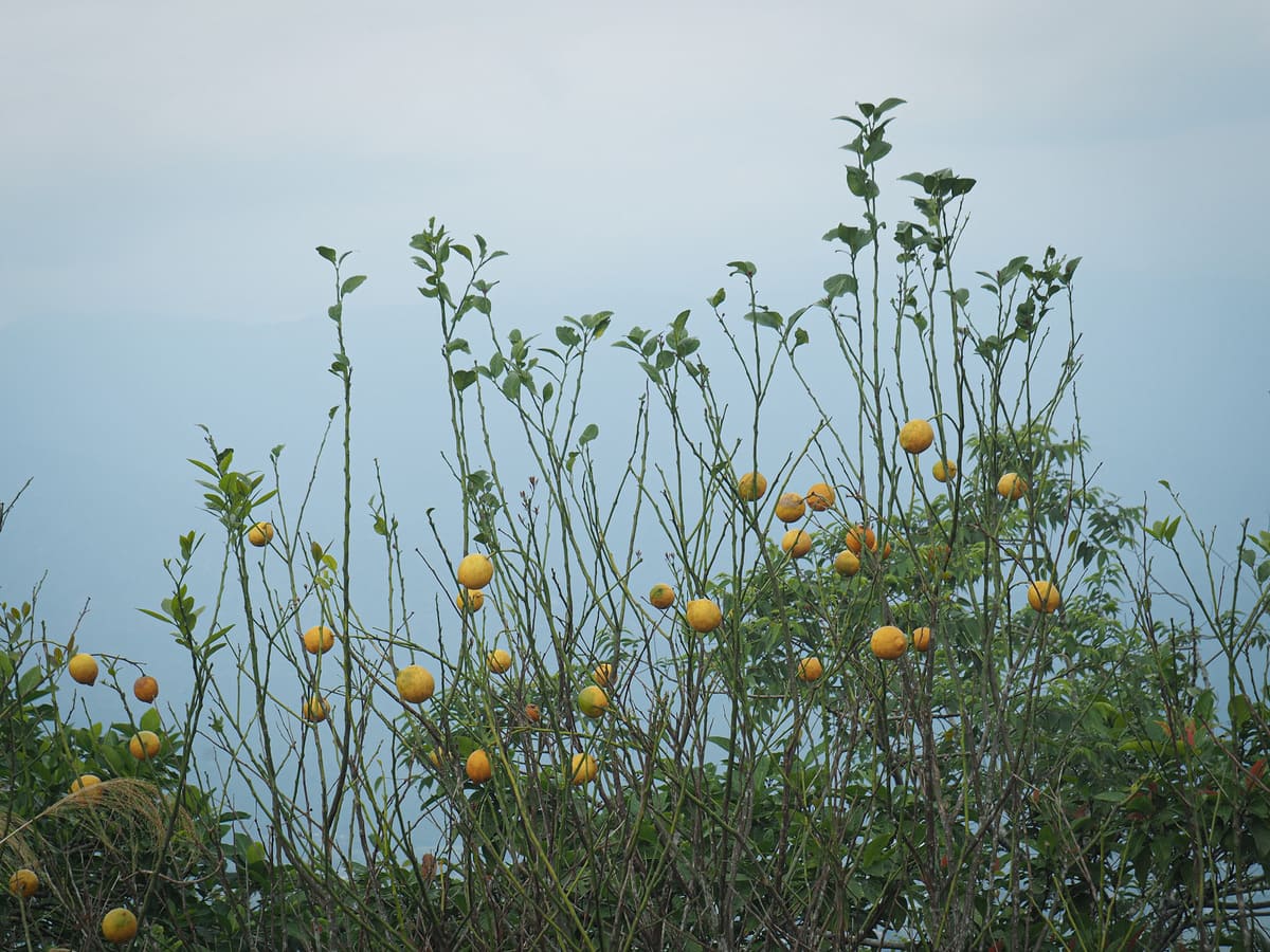
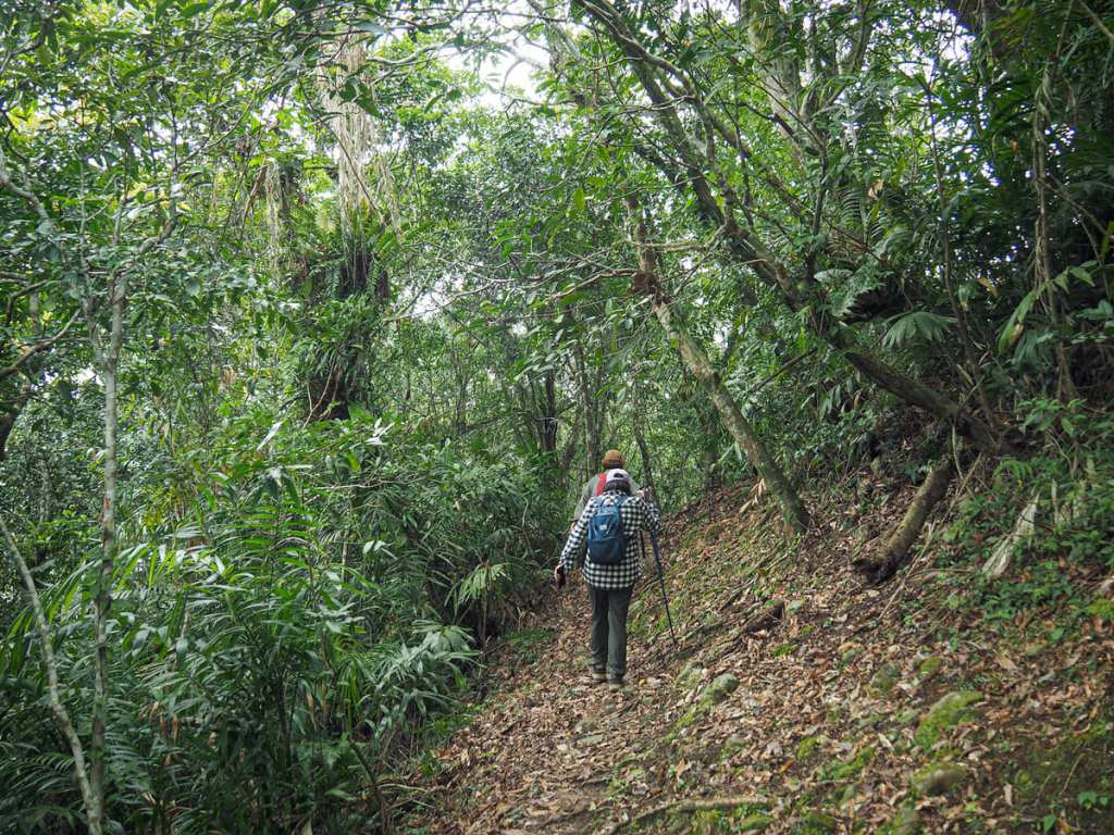
Once you reach the end of the track, the going gets easier as the trail passes through an undulating lemon grove. I’m pretty sure the trees are no longer being tended by anyone because most of them look rather straggly and the handful that were still bearing fruit had just been left to drop them. I don’t think I’d ever seen a lemon orchard before, so out of curiosity, I picked a leaf to see what it smelled like when crushed, and wouldn’t you know it, it has the most divine lemony scent.
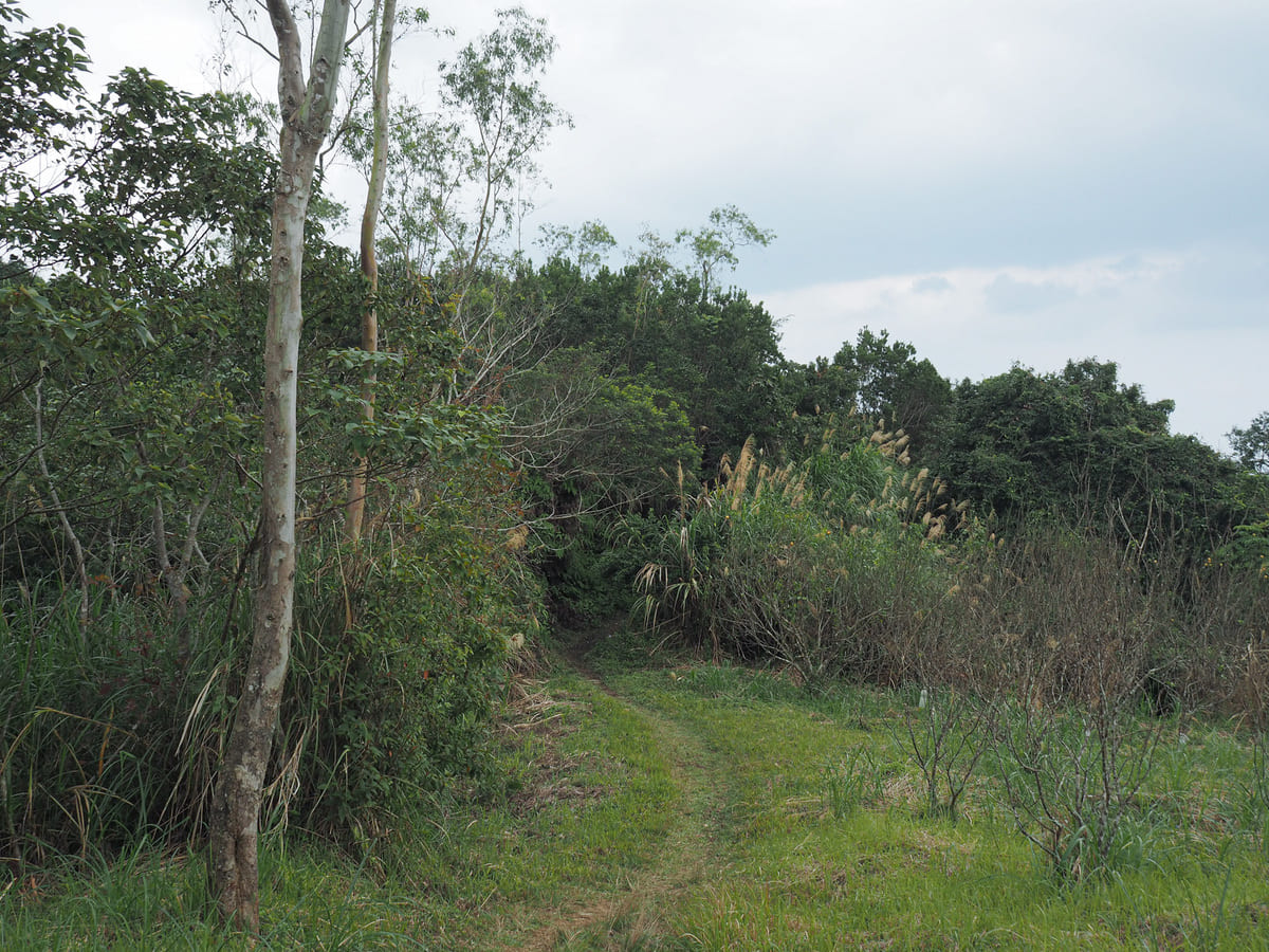
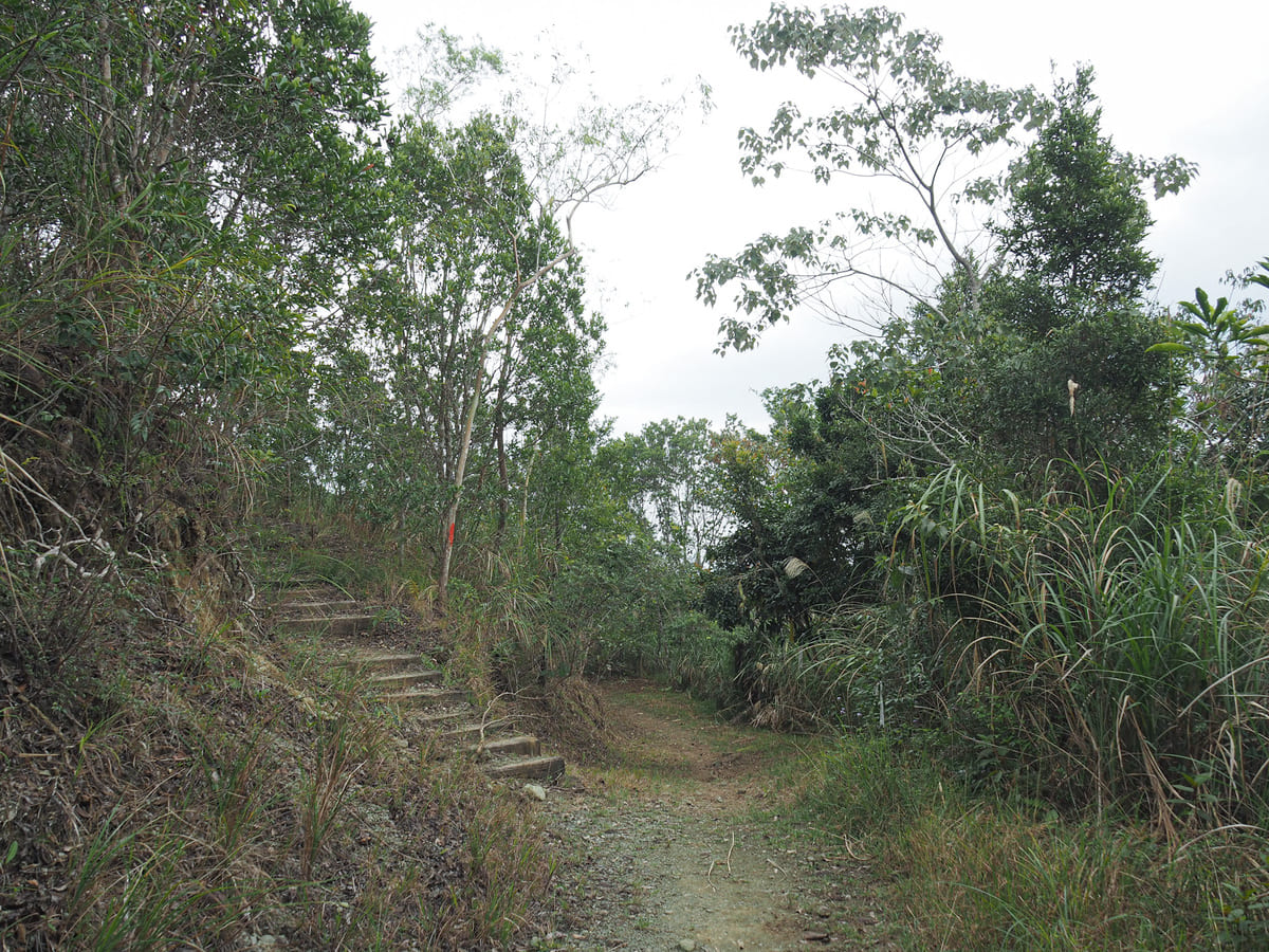
At the far end of the lemon grove, the trail narrows as it enters the tree line. A flight of steps heads up to the left, but follow the trail tags leading you straight instead.
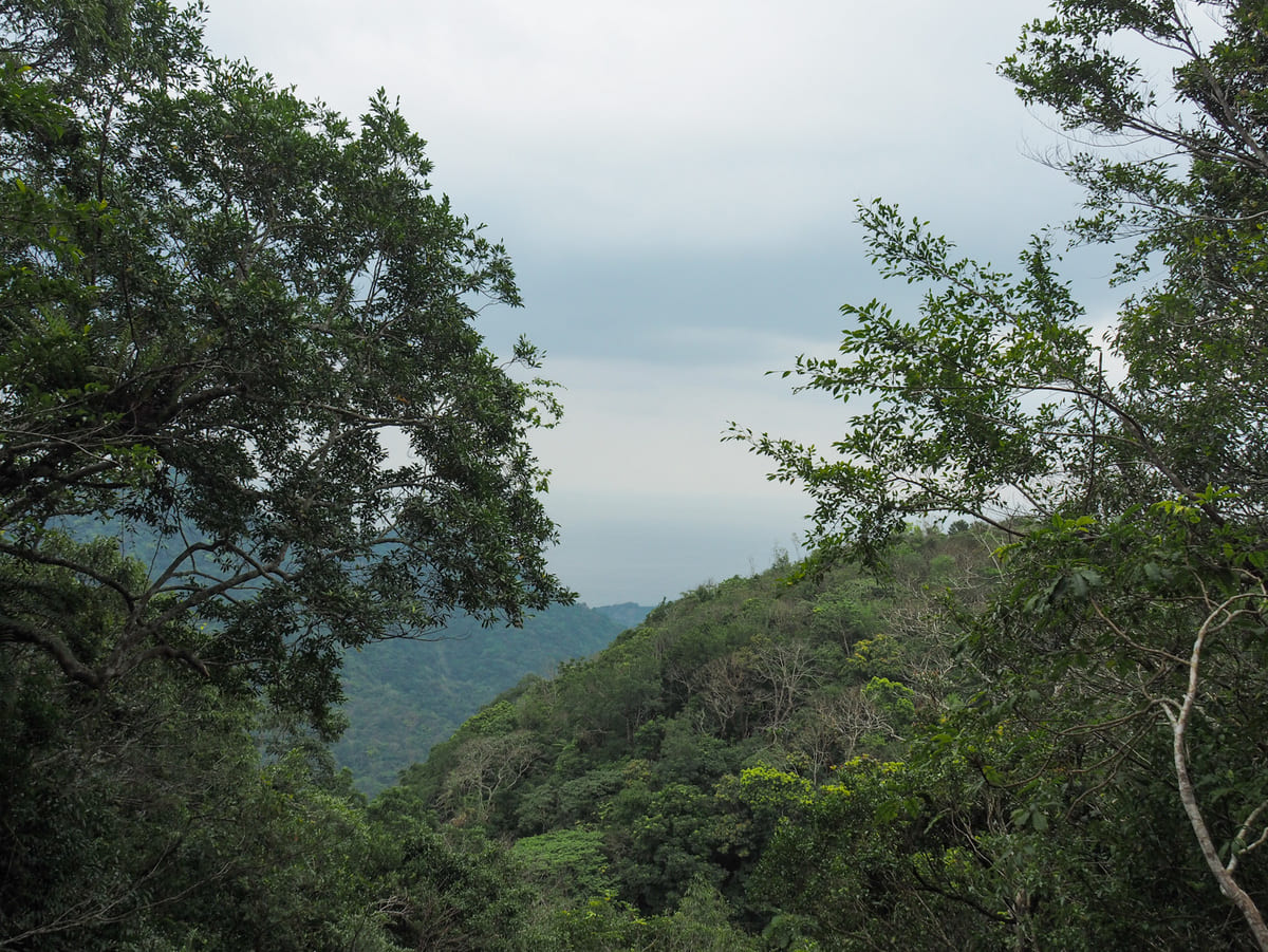
At one point, a small landslide has knocked out a gap to the right of the trail so that you can see over to the coast.
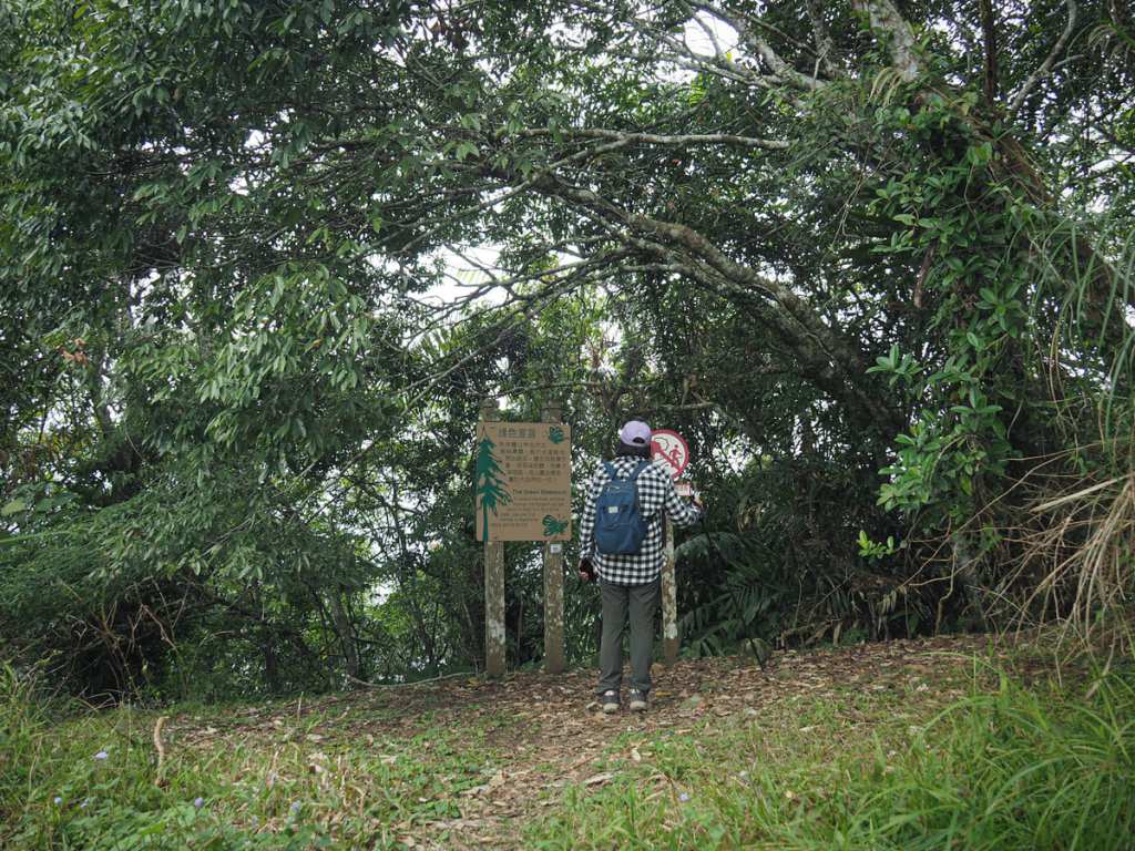
What feels like a weirdly placed sign sits at the start of the prettiest part of the walk. There’s a map just inside the tree line too. It looks like this trail has probably changed quite a bit over the years and this point was maybe more of a trailhead at one point in the past.

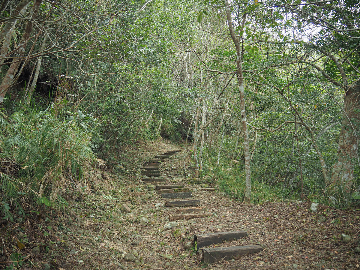
The trail dips and winds its way through the forest. In some places, it’s a little more wooded than this and we really were weaving in and out of the trees.
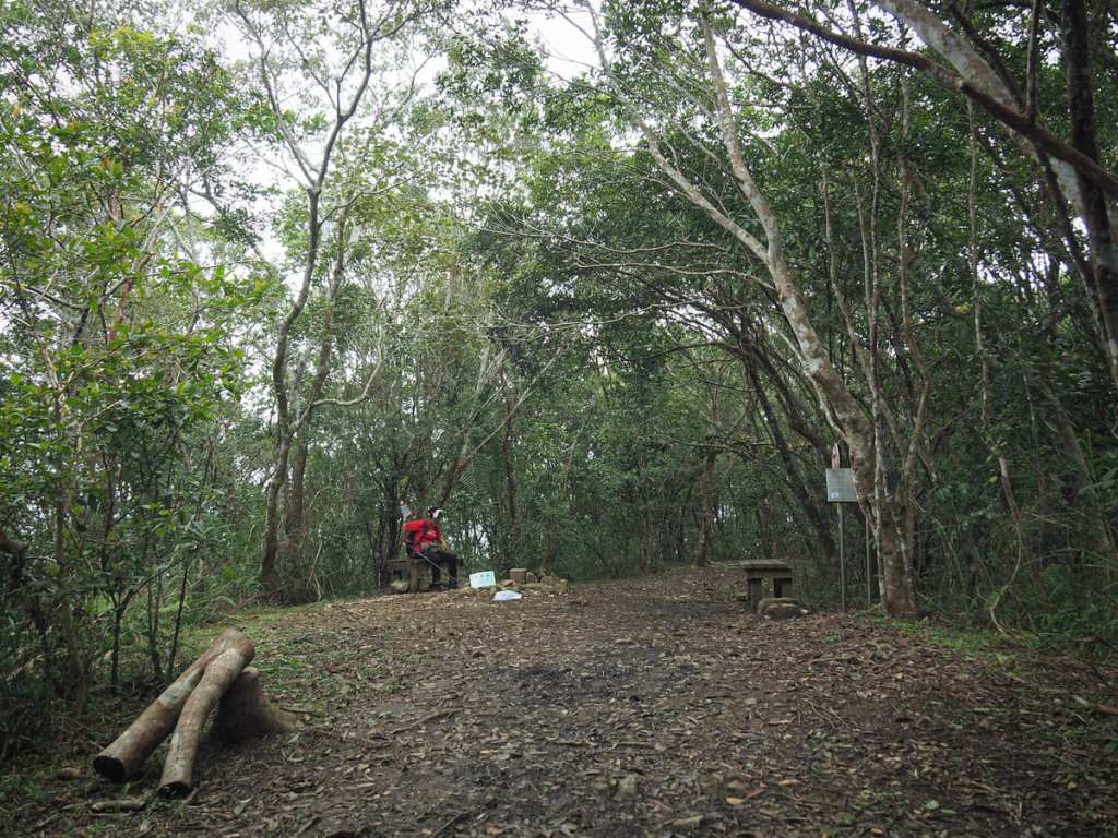
The summit of Mount Yuemei sits in an enclosed clearing. A few peak markers have been attached to the triangulation stone, indicating that the summit sits 614 metres above sea level, and there are a couple of benches around the perimeter of the clearing. If you have time, you can continue over and on towards the northern trailhead before making your way back, but since Teresa wasn’t feeling her best, we decided to beat a retreat without exploring any further.
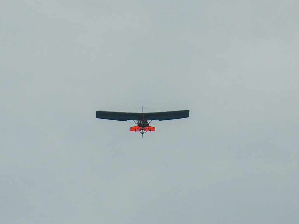
When we got back to the start, we were entertained by both this light aircraft, which is not something you see much of up near Taipei, and by a territorial little wagtail who was viciously attacking what he thought was an intruder (it was, in fact, his reflection in out car window). Less entertaining was the copious amount of shit he had left over both mirrors and front windows.
How to get to Mount Yuemei
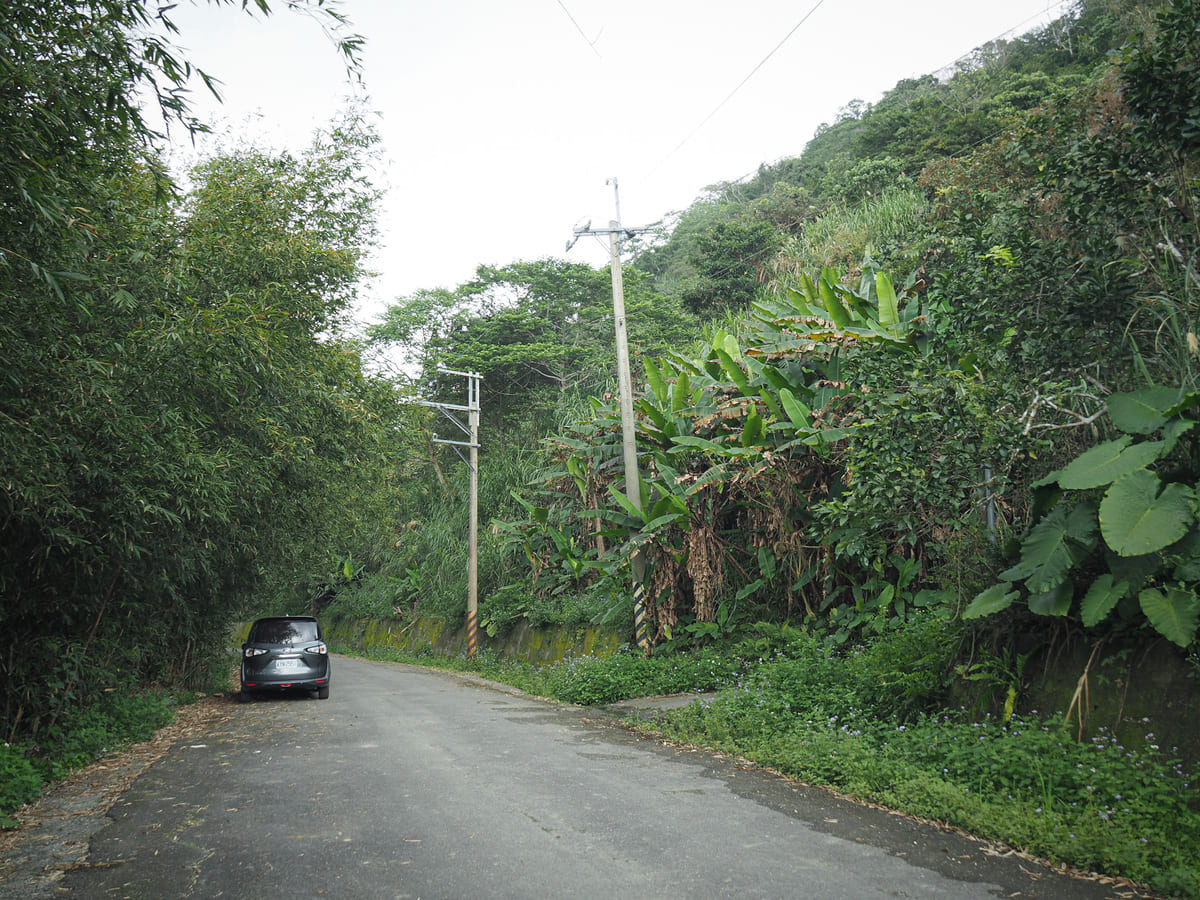
Google Maps address: The road to the trailhead is a narrow, winding, single-lane track. Coming up in a scooter would be far less nerve-wracking than trying to make the journey in a car and praying to Tudi Gong that you’re not going to meet someone coming the other way around every bend. Scooters can get a little further up by following an even narrower track to somewhere around here (I would not suggest doing this in a car unless you’re in a 4-wheel drive and are good at reversing).
GPS location: N23 48.870 E121 32.540
Public transport: This trail isn’t really served by public transport. The closest you could get on a bus would be Mizhan Bridge (on the 1128 from either Hualien Bus Station or Fengtian Train Station), which would add another 60-90 minutes of walking.
Mount Yuemei Trail Map
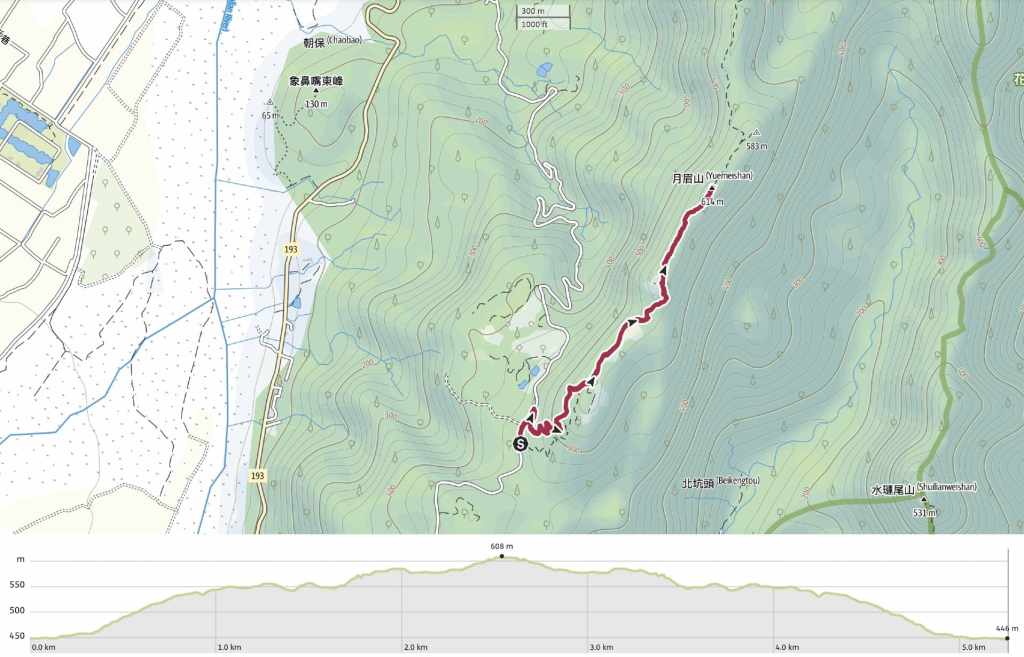
GPX file available here on Outdoor Active. (Account needed, but the free one works just fine.)
