I spent some time in Beipu during my adventures along the Raknus-Selu Trail, and after filling my belly with two-people’s worth of lei-cha, I wanted to stretch my legs a little before turning in for the night. My wanderings took me up to Beipu Park–a small patch of hilly land to the east of the city where locals come to stroll after dinner.
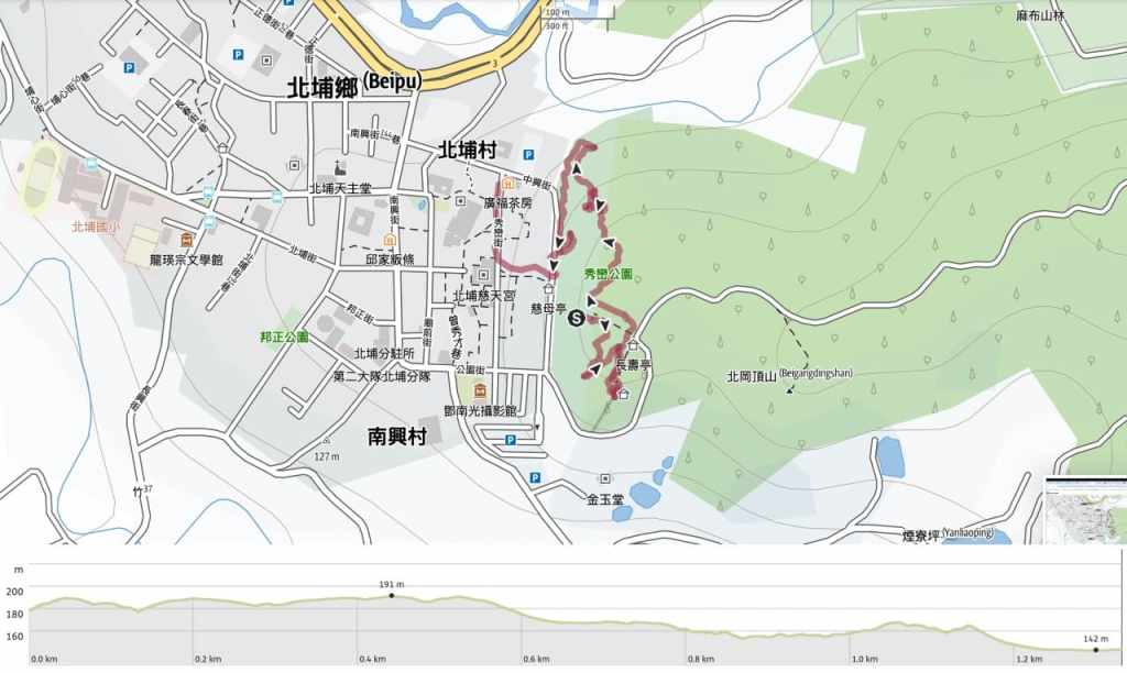
Distance: A short 1.3 kilometres.
Time: 30-45 minutes.
Difficulty: 1/10 — Whether you’re a seasoned or novice Taiwan hiker, this is an easy walk — literally a walk in the park.
Total ascent: The ascent on this walk is negligible — around 20 metres only.
Water: You’d be fine to do this walk without any drinks and just head back into town for sustenance when you need to.
Shade: This trail has dappled shade throughout.
Mobile network: You should have good signal for the duration of this walk.
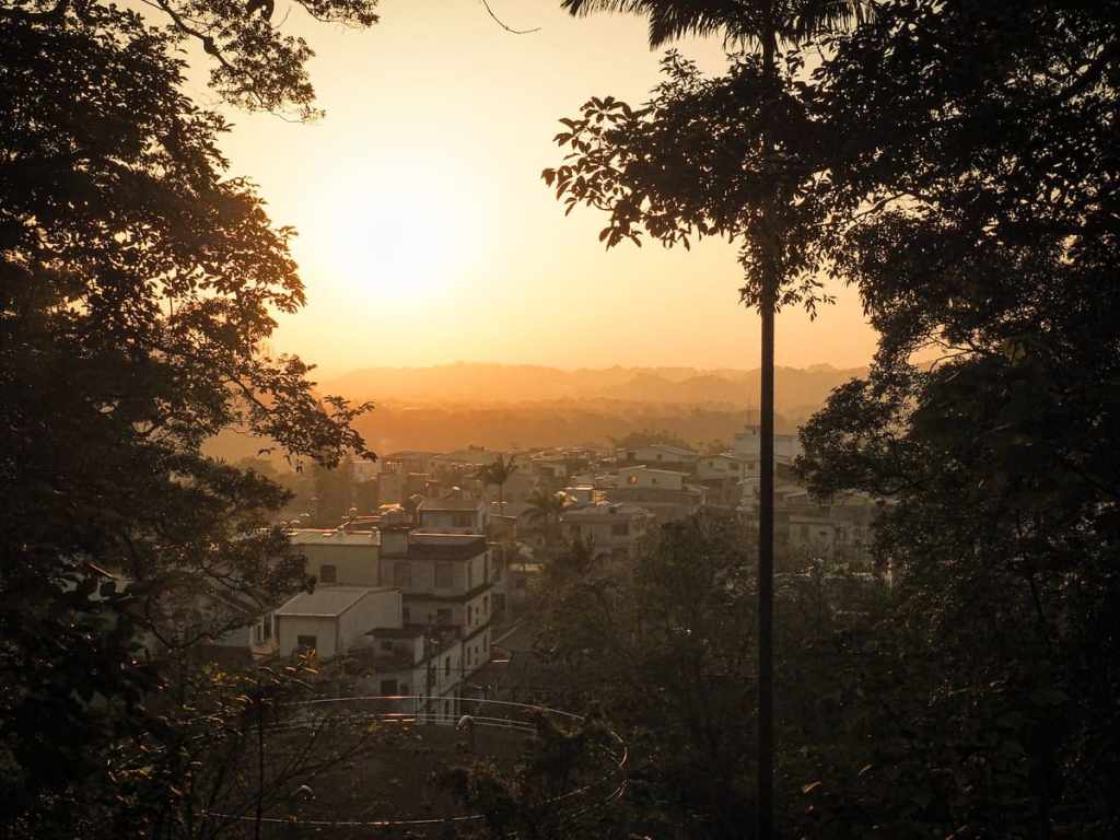
Enjoyment: This walk has a good view of Mount Ergongji and is beautiful at sunset, but isn’t reason enough to visit Beipu by itself. However, if combined with a wander around the old town and stops to enjoy leicha, it makes for part of a wonderful day trip.
Route type: Loop
Permit: None needed.
Jump to the bottom of this post for a trail map and GPX file.
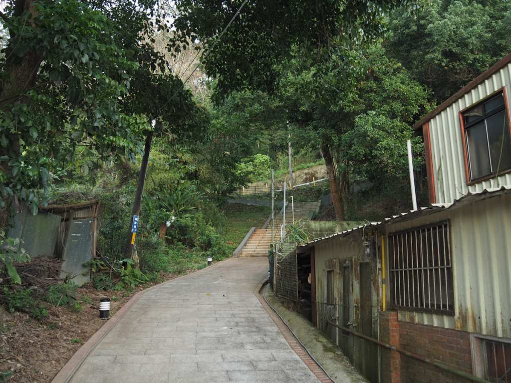
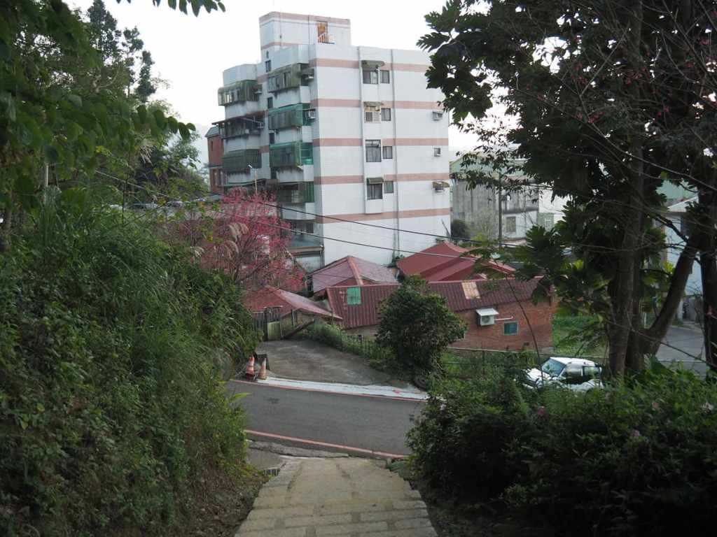
Taking the lane running away from the rear of Citian Temple, I climbed the steps up to Zhongxing Street (中興街).
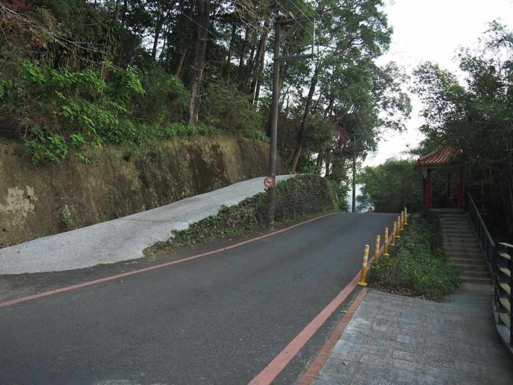
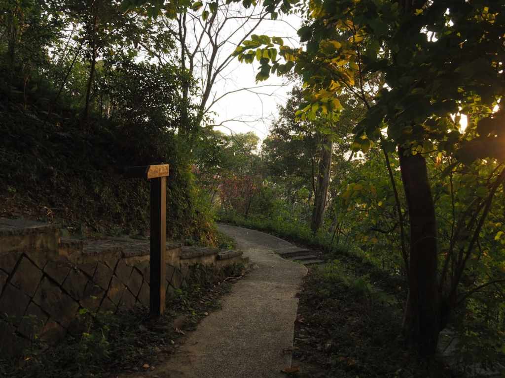
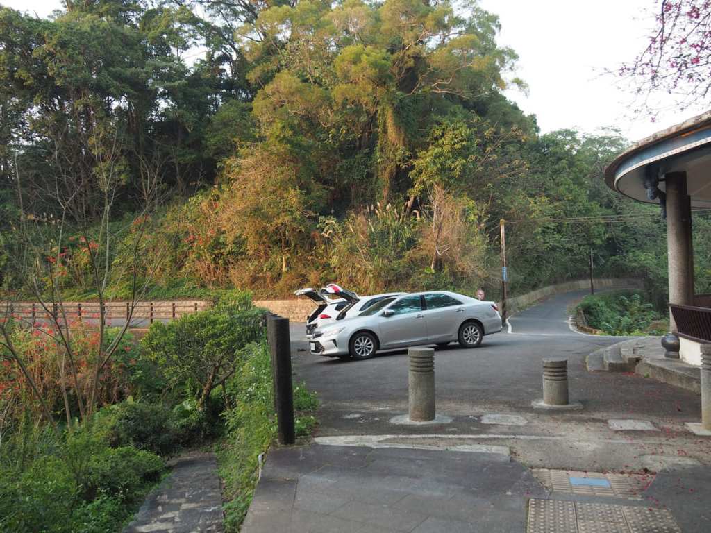
Crossing over the road, a concrete track heads uphill opposite a red pavilion.
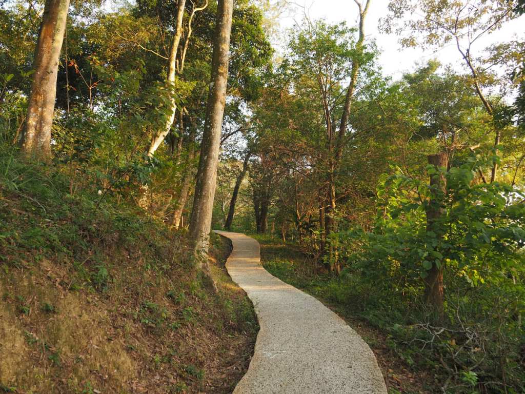
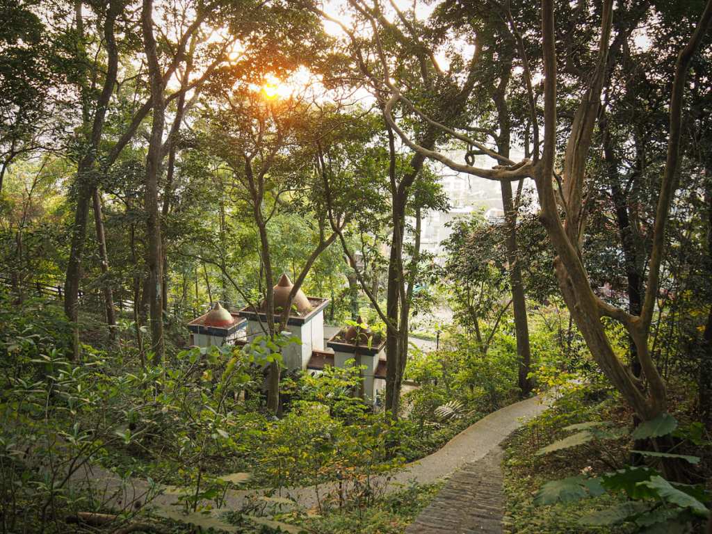
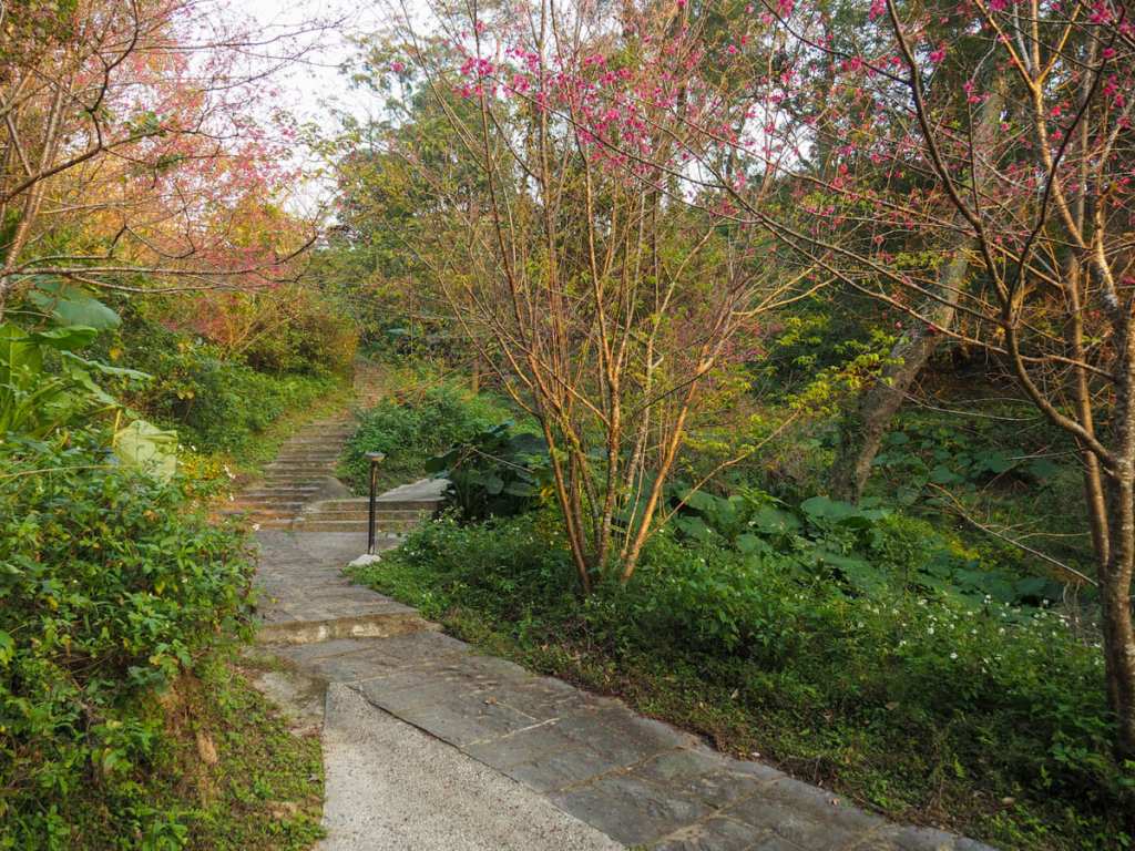
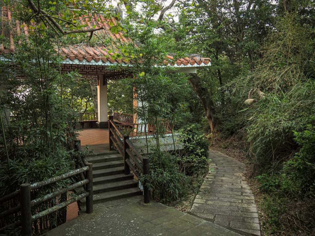
Very soon, the concrete track becomes a more pleasant-looking pavement which winds its way through the trees.
By the time I was heading up, the sun was already hanging low in the sky.
At this four-way junction, I picked the flat path in the middle.
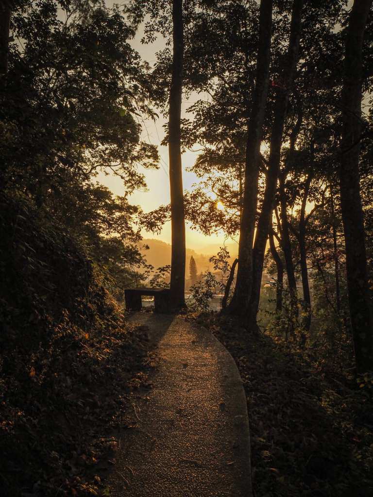
The setting sun silhouetting a rail-side bench.
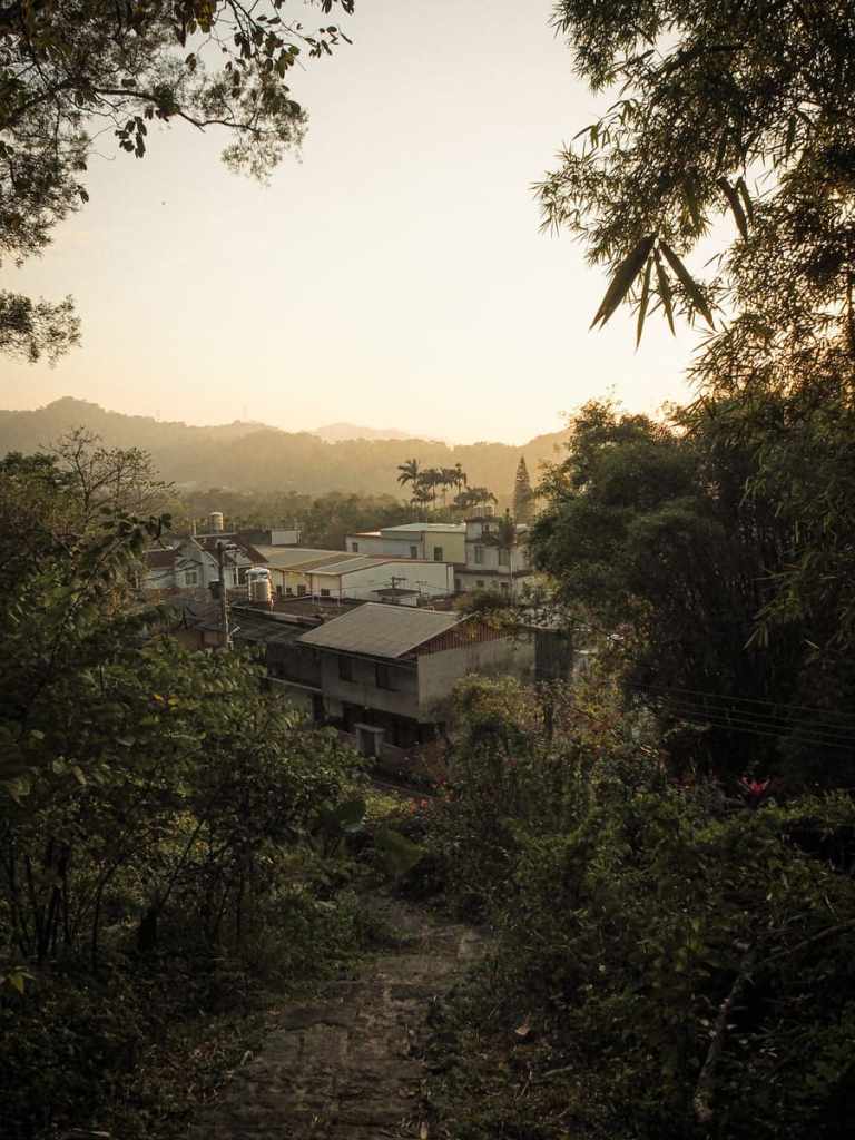
As the trail climbed a little higher, I could see over the tops of the houses in Beipu.
At this junction, I took the lefthand steps heading upwards. This park is a maze of these interconnected trails though, so I’m sure you’ll find things to see whichever way you go.
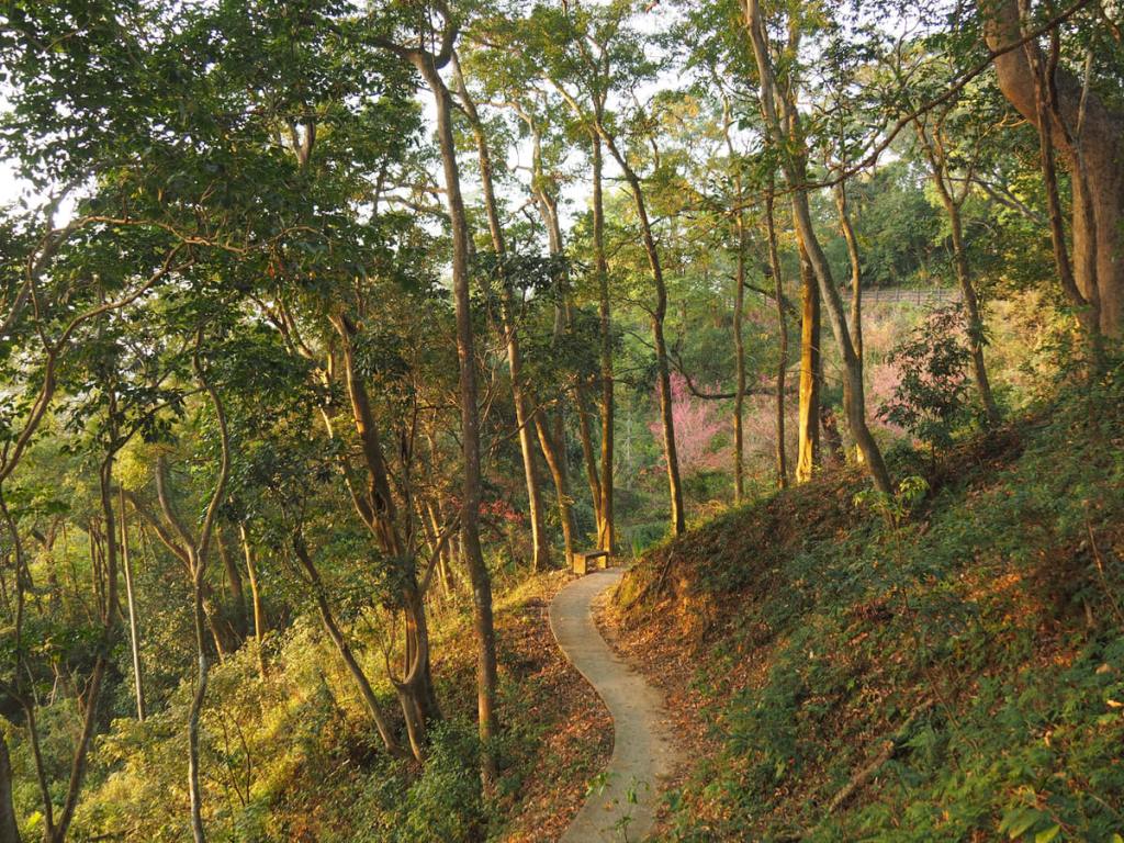
This was taken looking back at the path I’d just walked. I enjoyed the prettiness of the sun in the late afternoon light.
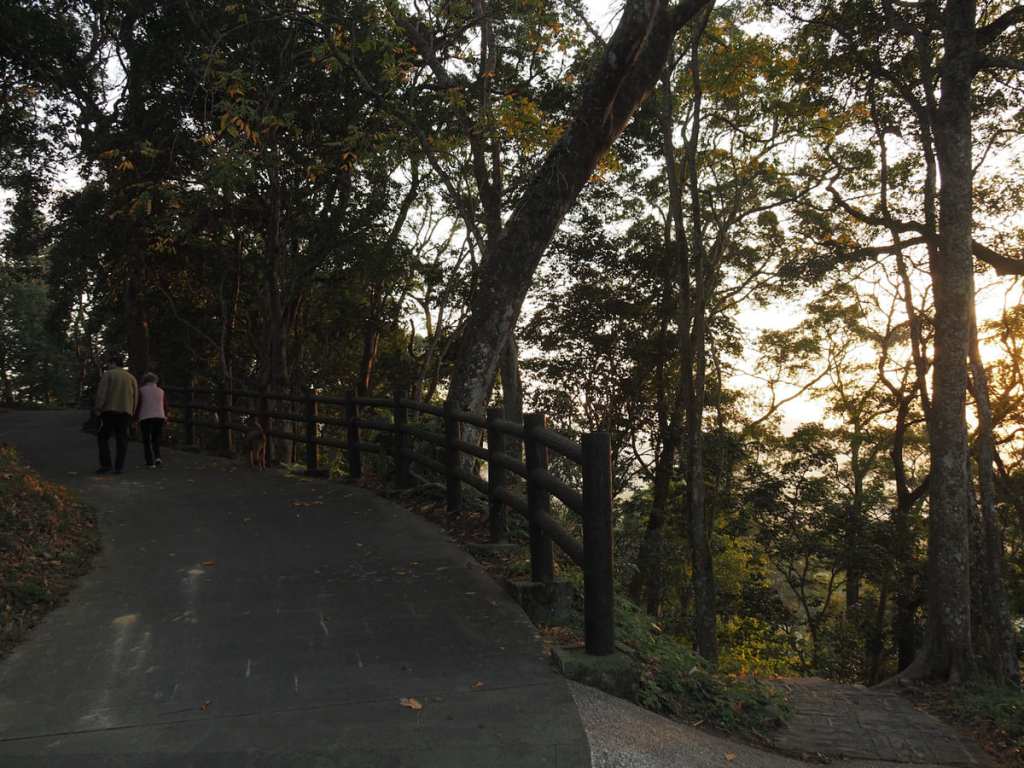
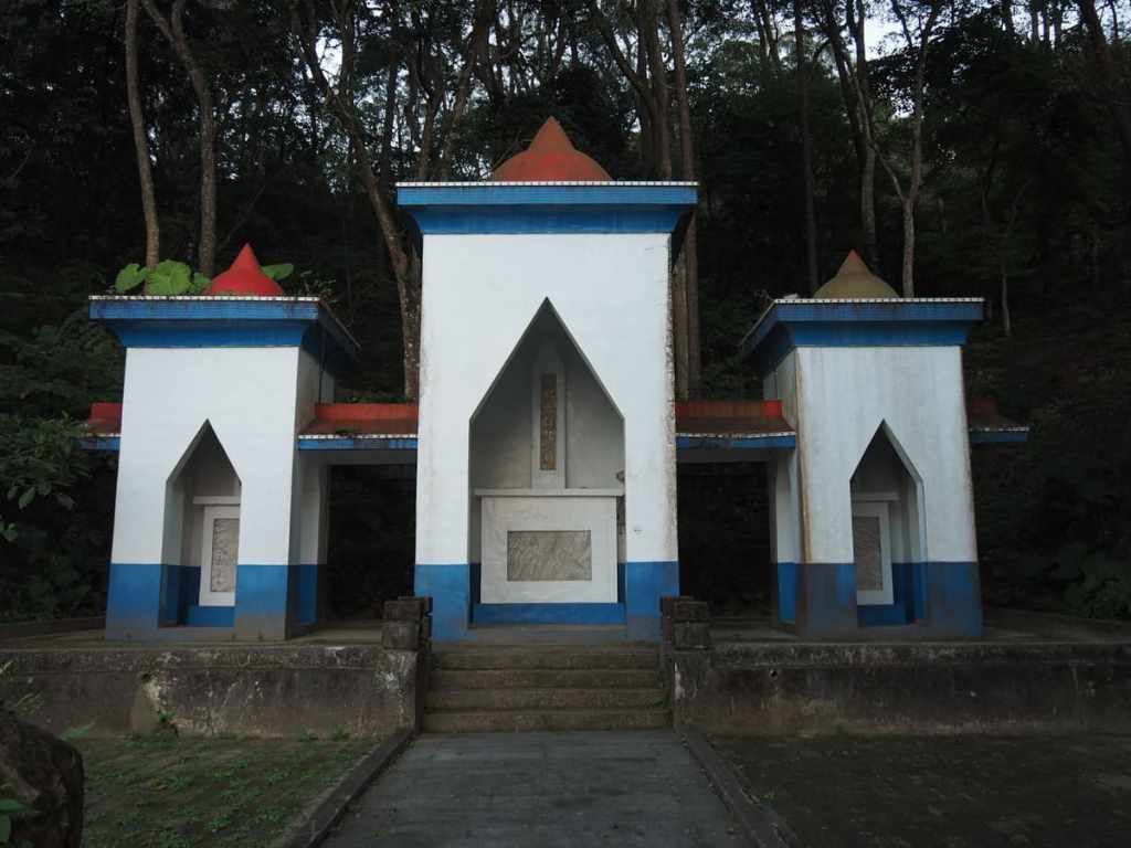
At the top of the steps I turned right to go and take a look at a viewpoint and memorial that was marked on the map. I passed an older guy out walking his elderly mum and elderly dog.
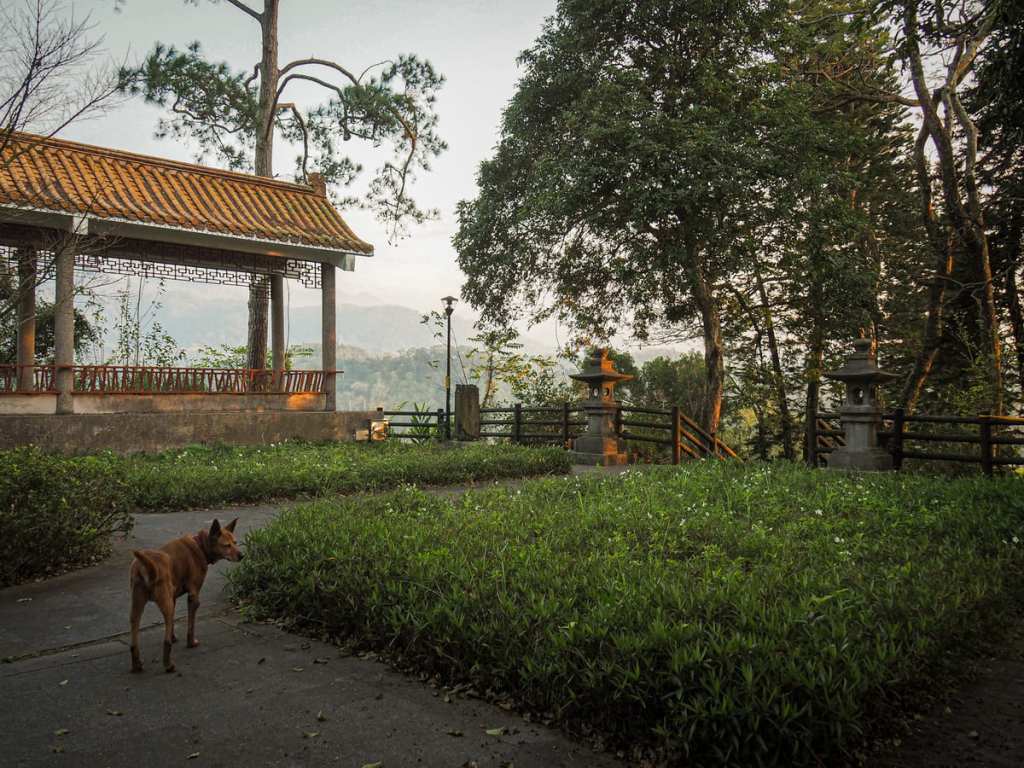
This hilltop lookout spot is now called Hebaoshu Square. Here you’ll find a couple of weathered memorial steles. One of these was erected by the Japanese authorities to remember the Japanese that were killed during the 1907 Beipu Uprising (北埔事件). This event, which was led by Tsai Ching-lin (蔡清琳), is described as the first organised fightback against Japan’s rule of Taiwan. Members of Beipu’s Hakka community, along with people from the Saisiyat tribe, got their hands on a large amount of weaponry and killed 57 Japanese. The Japanese retaliated by killing around a hundred young Hakka men. Sometime after Japan ceded Taiwan, the original inscription on the monument was chiseled off by the local head of the police and replaced with something to commemorate the Hakka losses instead. These days, it’s hard to see any inscription at all and the park is just a peaceful place to watch the setting sun.
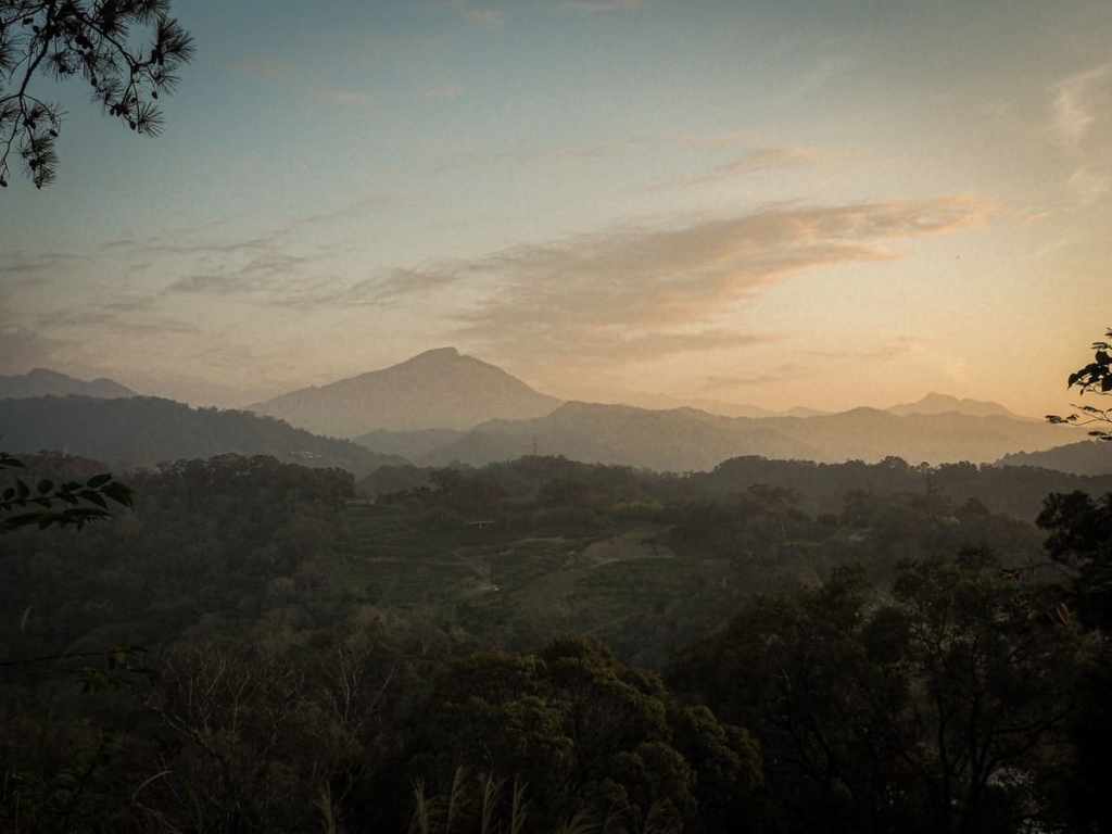
As I walked over to the far corner, the guy who was walking his mum and dog pointed out Mount Ergongji. This peak would be a constant companion on my walk the following day.
The man introduced himself as Mr Jiang (the Jiang family is one of the most populous families in Beipu). He, his mother, and their dog walked with me back along the lane to their car, then continued on around the side of the hill.
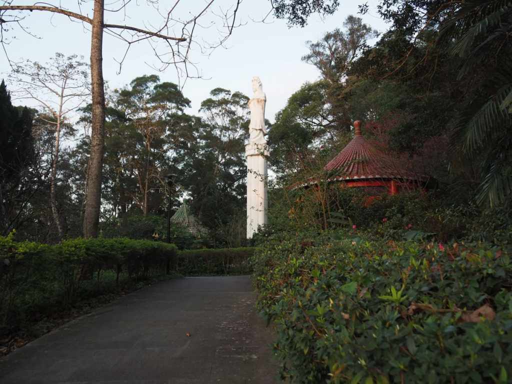
He told me that he brings his mum up here for a walk every evening. She didn’t appear to be capable of speech anymore, but when we neared this statue of Guanyin, she made her son pause to bow. The pair of them went to sit down in the little pavilion and I carried on along the path.
The trail winds its way along the side of the hill, up to the memorial to the efforts of the land restoration movement.
I went right around the edge of another seating area and followed the trail around the northernmost edge of the park.
Once I hit the road, I took a left and followed it back to the spot that I’d started from.
From the front, the memorial for land reclamation efforts looks rather odd. The Greek-ish blue and white with red domes and church-window-esque arches is not a common architectural mix. Inside the turrets are inscriptions that state where the funds for the land reclamation efforts in the area came from, as well as commemorating the Jiang and Zhou clans’ roles in establishing Beipu. As I was passing, Mr Jiang (who, since he told me his family as lived here his whole life, is likely a descendant of the original Jiangs) drove past and offered to take me back to my guesthouse. I thanked him, but declined the offer, preferring to make my way there slowly in order to watch Beipu settle down for the night.
How to get to Beipu
Google Maps address: The walk starts on the western edge of Beipu. Parking in the town centre is limited, but you can usually find roadside parking somewhere. Failing that, there are a couple of designated carparks.
GPS location: N24 41.980 E121 03.540
Public transport: The cheapest way is to get on the 1820 or 1820A from Taipei Bus Station and ride it to Hsinchu Bus Station (or as close as you can get). Then transfer to the 5626 from Hsinchu Bus Station and ride it to Beipu. It’s also possible to ride the HSR to Hsinchu HSR Station, then take the 5700 Taiwan Tourist Shuttle (bound for Lion Mountain Visitor Centre), and ride the six stops to Beipu.
Nearby trails: A couple of my Raknus Selu Trail posts visit Beipu.
Beipu Park Trail Map
GPX file available here on Outdoor Active. (Account needed, but the free one works just fine.)
