
This year’s Dragon Boat Festival coincided with the tail end of the plum rains season, so we wanted to find a short walk that could be concluded by noon and this trail in New Taipei’s coastal Gongliao District fit the bill perfectly. The walk includes two peaks, Mount Huoyan (火炎山), which is also known as Aodi Peak (澳底尖), and Mount Meiyan (美豔山). On top of that, the trails themselves seem to have more than one name. I’ve opted for Mount Huoyan Ridge Historic Trail since we took the route that travelled the high path between the two summits. Other names include Huoshan Meiren Trail (火山美人步道), and Shibikeng Historic Trail (石碧口古道), but I think this latter name applies only to the lower trail that passes by an old house.
Regardless of what you call it, this is a short walk with coastal scenery that greatly benefits from having a beach and a coffee shop at the end.
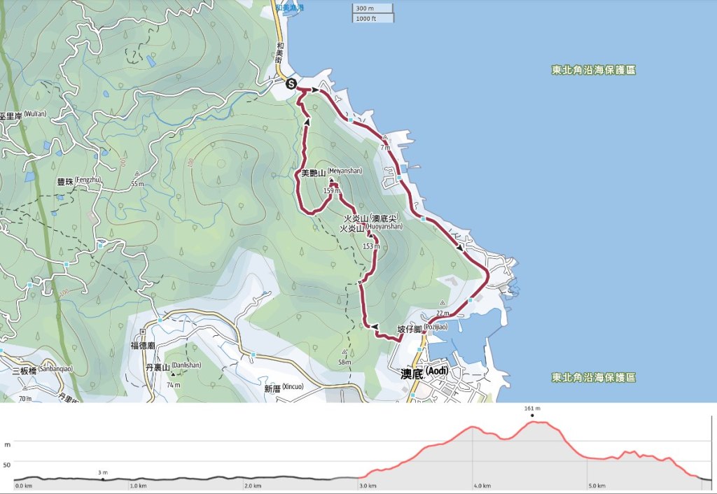
Distance: About 6 kilometres including road walking from the carpark to the trailhead.
Time: 3 hours, again including 40 minutes spent walking along the road.
Total ascent: 230 metres to a high point of 161 metres.
Difficulty (regular Taiwan hiker): 4-5/10 – With the muddy conditions we had, this was a moderately difficult walk. In better conditions, I think I would have found it to be on the harder end of easy.
Difficulty (new Taiwan hiker): 6-7/10 – For a new Taiwan hiker, this would likely be on the harder end of moderate on account of the steepness of slopes and lack of English signage.
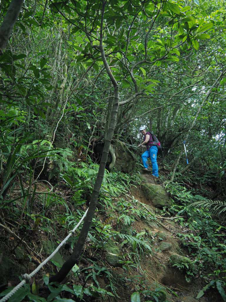
Risks and dangers: The slopes are steep and exceedingly slippery after rain. There are also a few areas where the path is narrow and has a drop off one side.
Water: I took 1 and drank most of it on a warm June day. There is a coffee shop by Jinsha Bay, and a few places to eat or pick up supplies in Aodi.
Shade: The road is entirely exposed, but most of the on-trail walking is shaded.
Mobile network: Pretty clear throughout.
Enjoyment: You need to pick your time carefully for this one. The heat and very wet trail made this a less pleasant expereince than it could be. The ideal day is dry and not too hot, but still hot enough that you’ll want to jump in the sea afterwards.
Other: There are several variations of this walk that could be done. You could enter the trail from the Jinsha Bay end and do a lollipop loop by heading up to the two peaks, then taking a right turn to follow Shibikeng Historic Trail back to the start (as done by Tony in this video). Or, if you want to burn off extra energy, you could do a skinny figure-of-eight loop to start back at the same spot where you finished (as these people did). Or, just hop on a bus to cut out the road section.
Bathroom facilities: There is a toilet block by the beach at Jinsha Bay.
Route type: Loop (or lollipop loop, or point to point).
Permit: None needed
Jump to the bottom of this post for a trail map and GPX file.
Originally, I had planned to park in Aodi, walk over the hill to Jinsha Bay (金沙灣), then head back along the road, but changed plans at the last minute and decided to park at the end of the walk so that we could cool down with an iced coffee and a dip in the ocean as soon as we were finished.
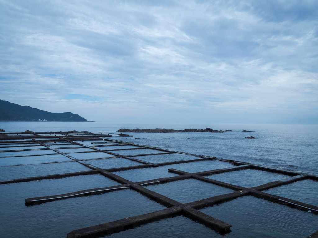
That meant that the walk started with a 40-minute roadside stroll past crumbling abalone farms and drying seaweed to get to the trailhead.
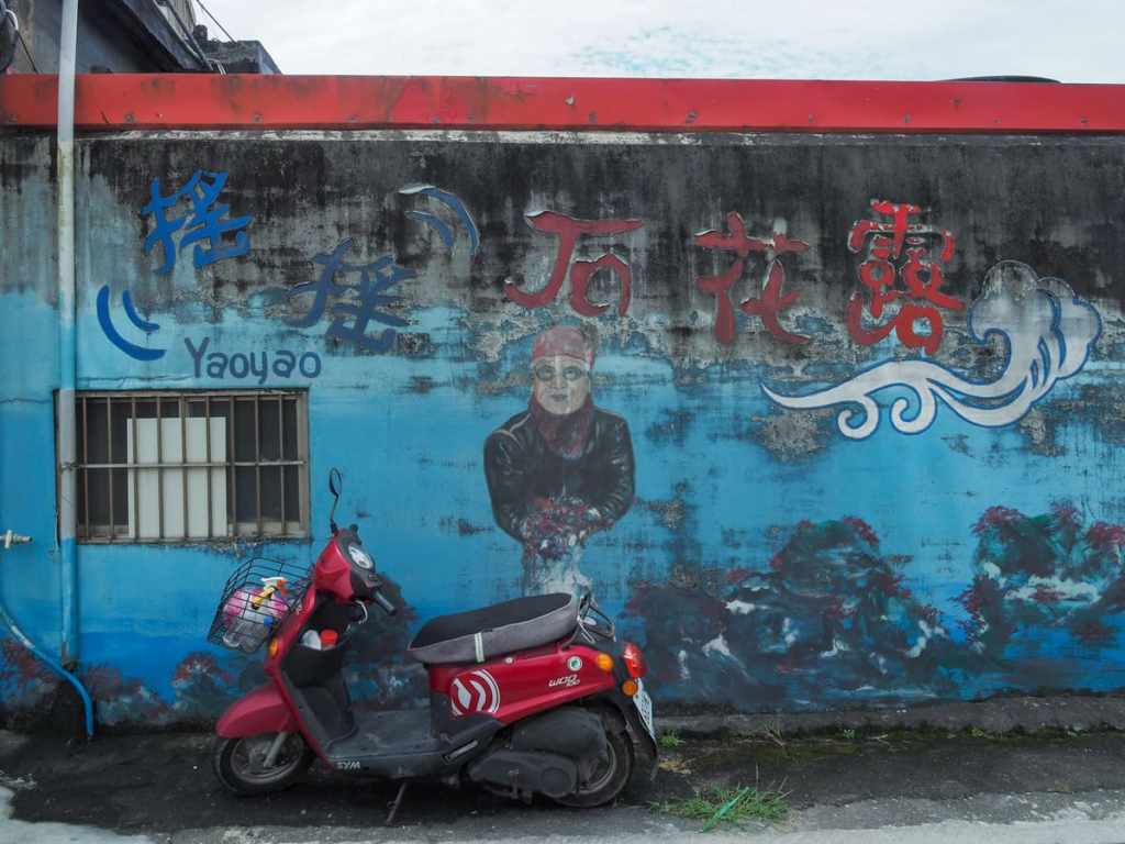
Artwork on the wall of a stall selling seaweed depicts a bewetsuited grandma clutching a hual of Gelidium amansii—a type of red algae that is harvested from the coastal waters here for food.
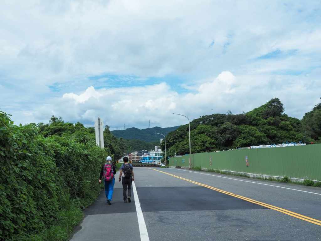
Almost as soon as we entered the outskirts of Aodi, we took a right turn onto the road opposite(ish) PX Mart.
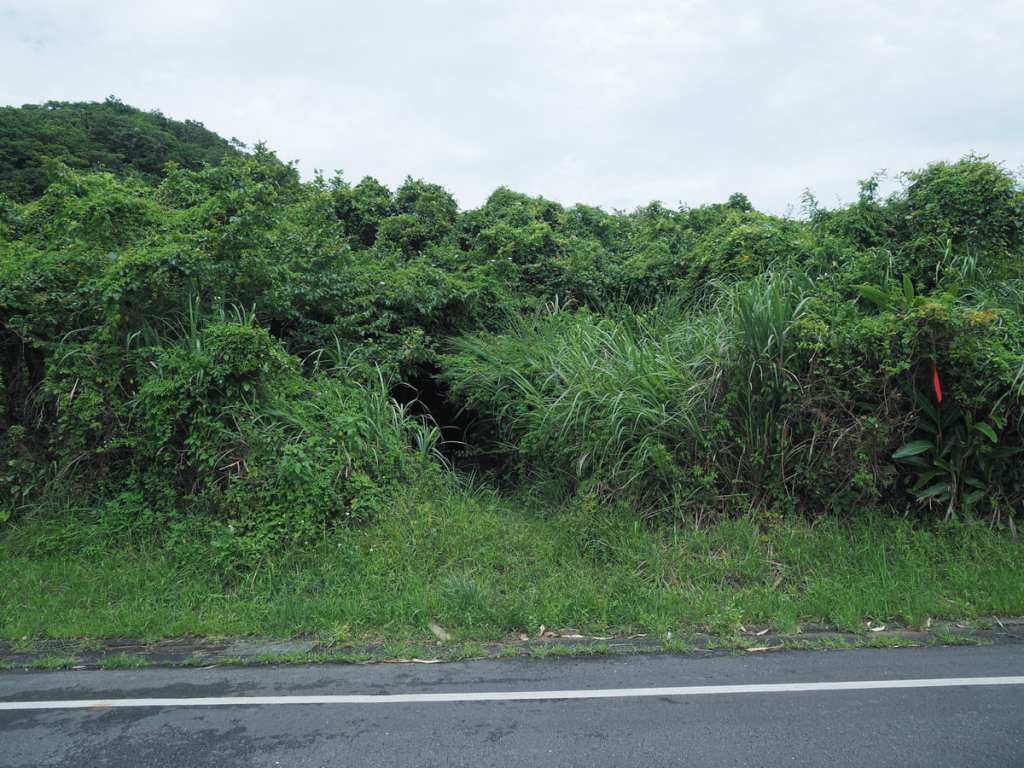
The trailhead would be pretty much invisible if not for the trail tags strung from the trees. In fact, even with the tags, it’s not exactly obvious.
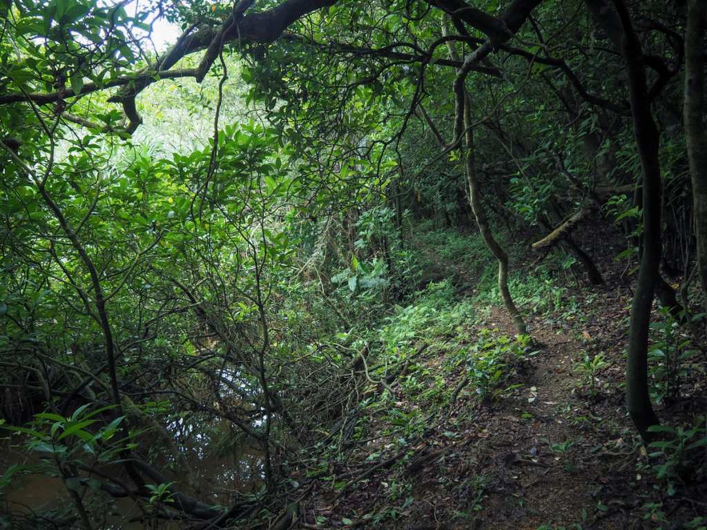
As soon as we stepped off the road and into the trees, the path felt almost entirely cut off from the outside world. Despite the exuberant greenery, there are hints that this area was previously either farmed or inhabited. The first of those clues were the remains of some type of manmade pool that was load with mate-seeking frogs.
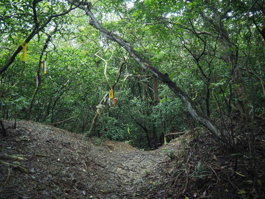
The path climbs gently to a four-way crossroads. We took the righthand path heading up to Mount Huoyan (火炎山).
The path on the left runs down to another part of Aodi, while the trail heading straight is Shibikeng Historic Trail (石壁坑古道). If you’re already finding the climbing too much, it would be better to head straight here—you won’t enjoy any of the views we saw, but there is a historic building and the route is much flatter.
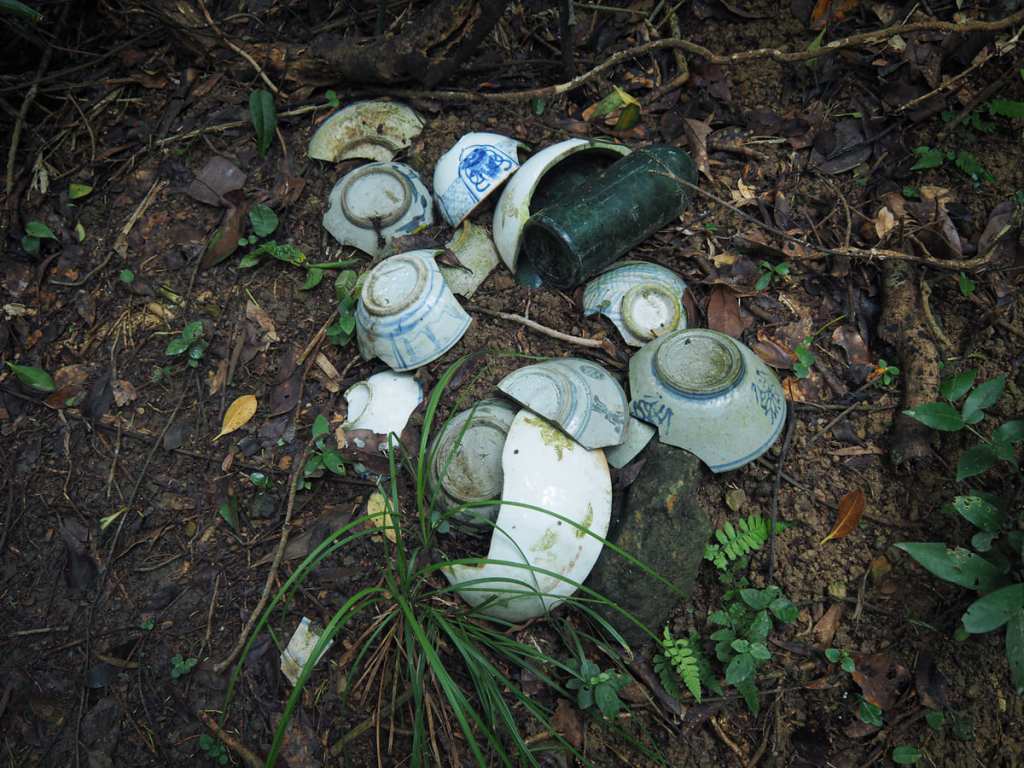
An assortment of old tableware has been gathered beside the junction—further indications that this area used to be inhabited.
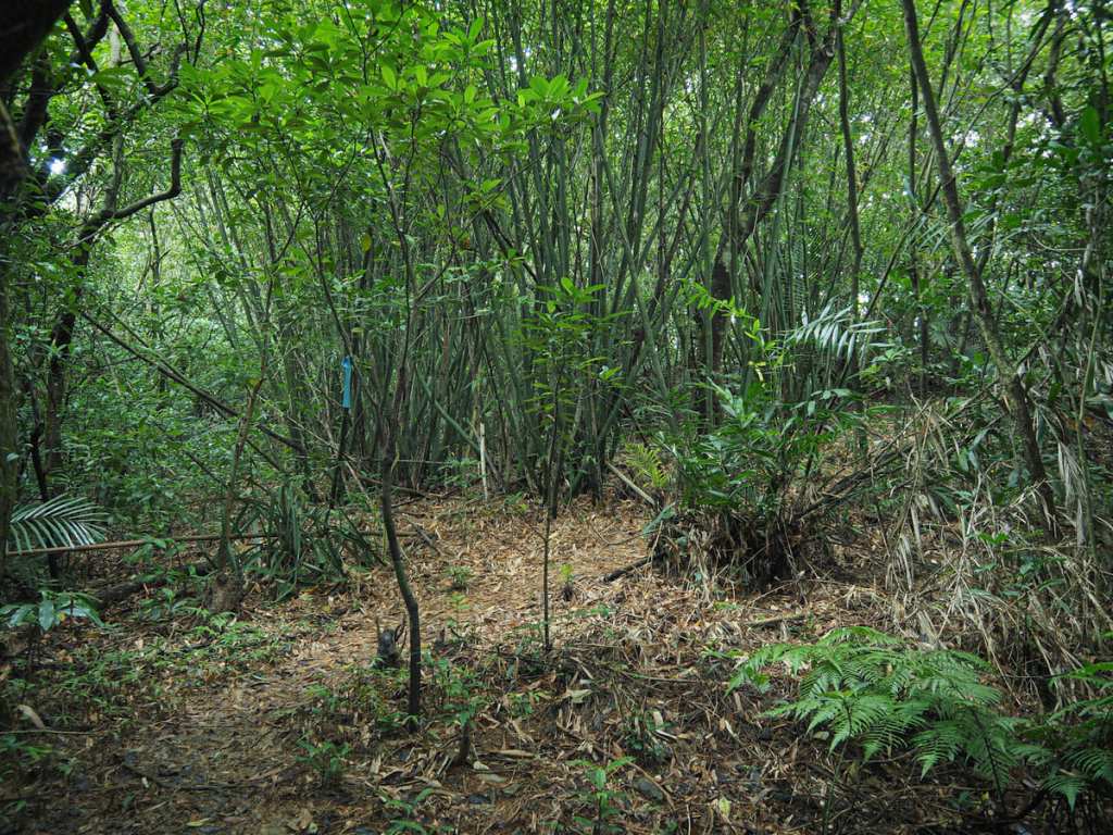
More hints of past habitation come in the form of scruffy bamboo groves.
About 35 minutes after leaving the road, we reached the summit of Mount Huoyan. From here, there is an unobscured view to the east and a partial view looking south over Aodi towards Fulong.
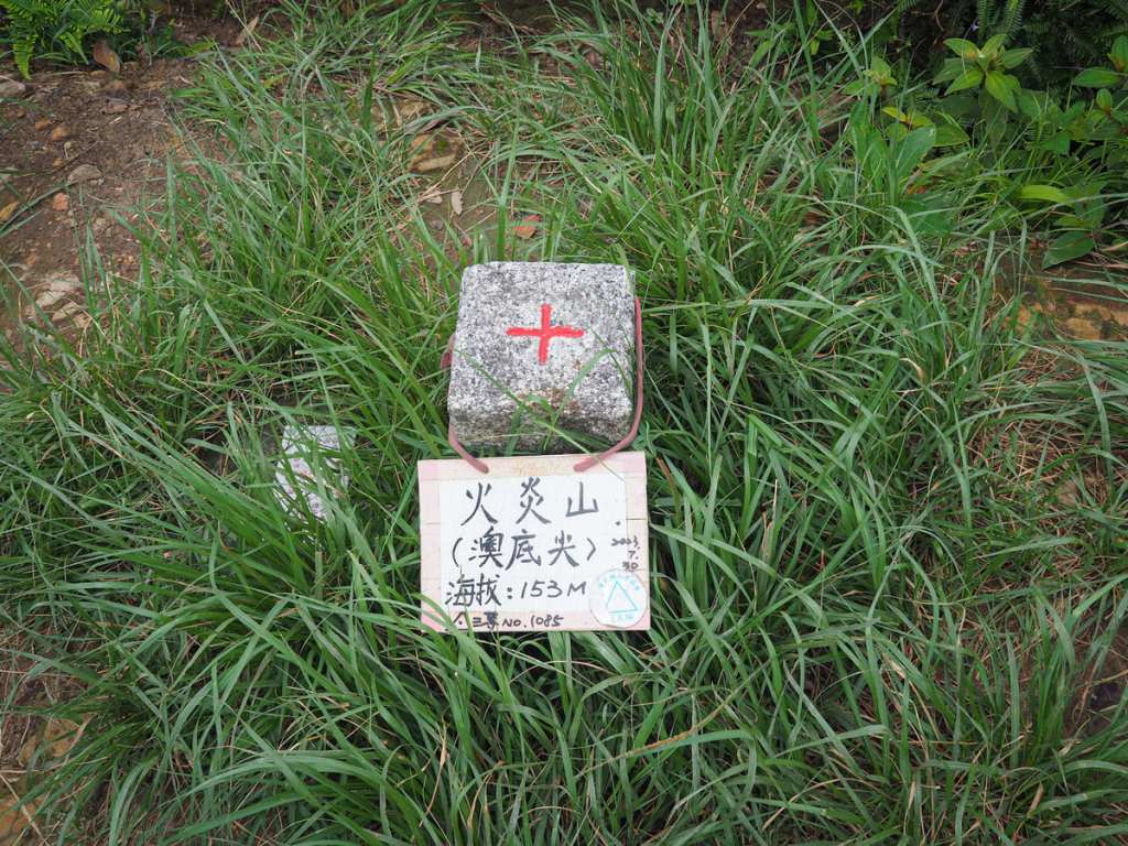
The summit—which is also called Aodo Peak (澳底尖)—has a clearing big enough for a few people to stand around, and it was absolutely alive with butterflies of all sizes. A little further along, there’s another lookout spot, but the view wasn’t quite as good as the view from atop the peak.
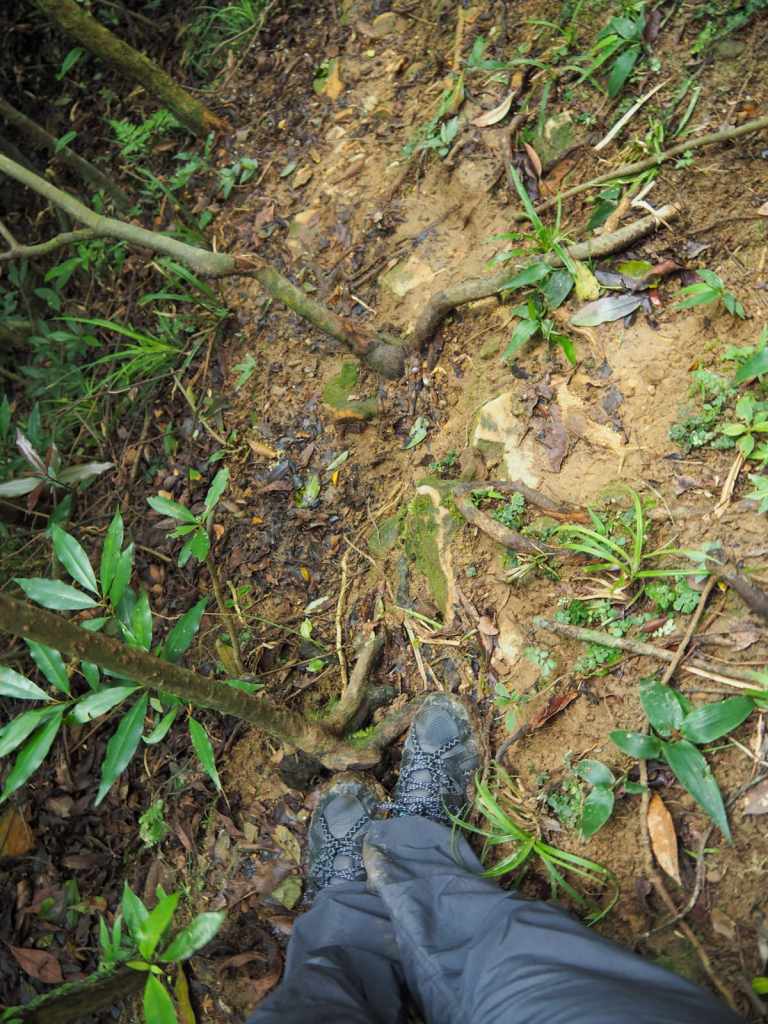
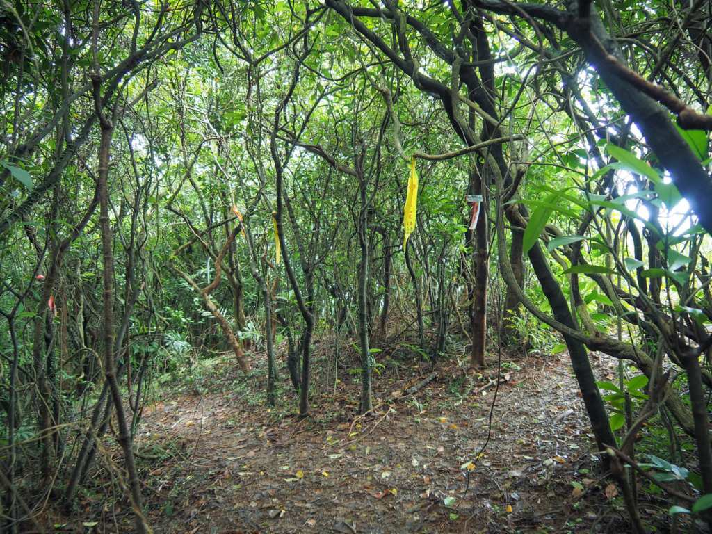
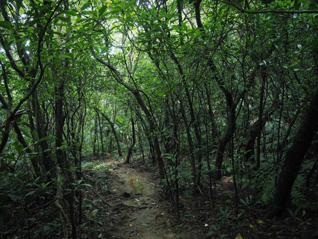
Between Mount Huoyan and Mount Meiyan, the path was steep, muddy and undulating. The photo really doesn’t accurately depict the conditions we experienced. The mud meant walking was slow going both ascending and descending, heading up, it was sometimes hard to get purchase, and heading down was more like controlled slipping than walking.
The summit of Mount Maiiyan (美艷山) is just off the side of the path to the right.
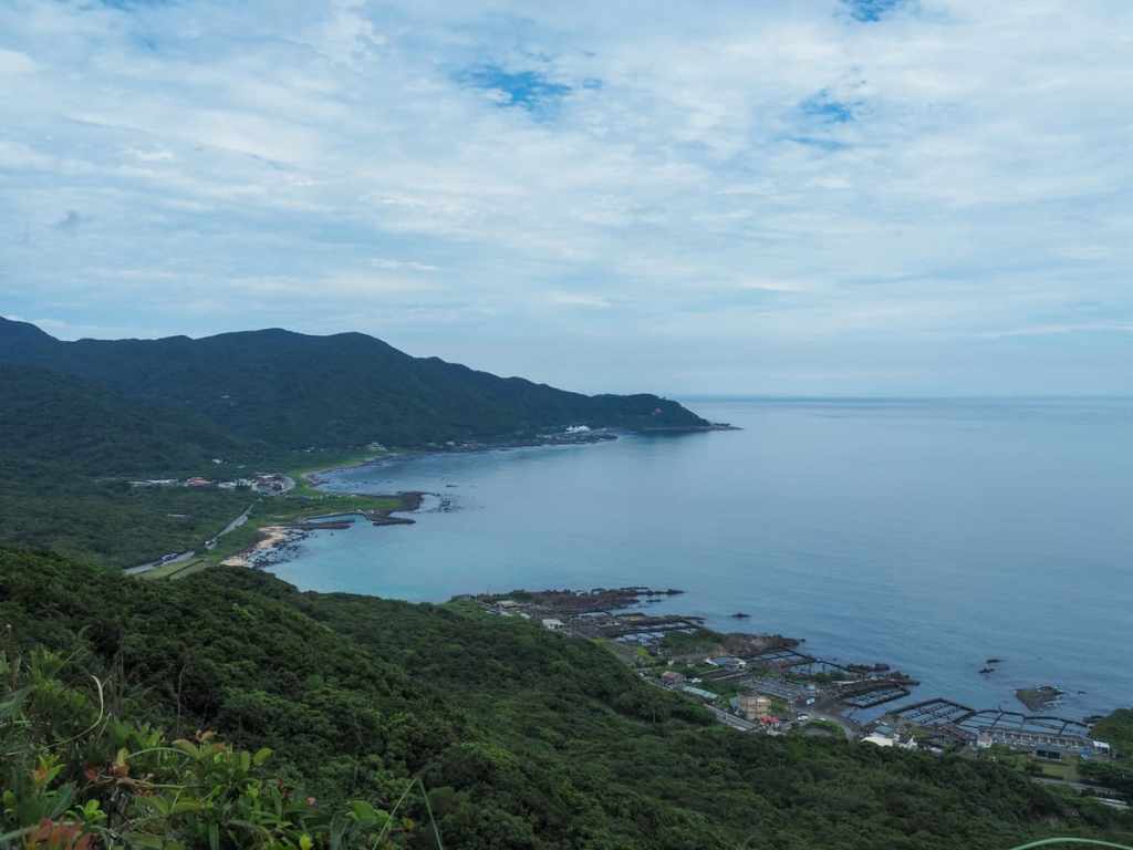
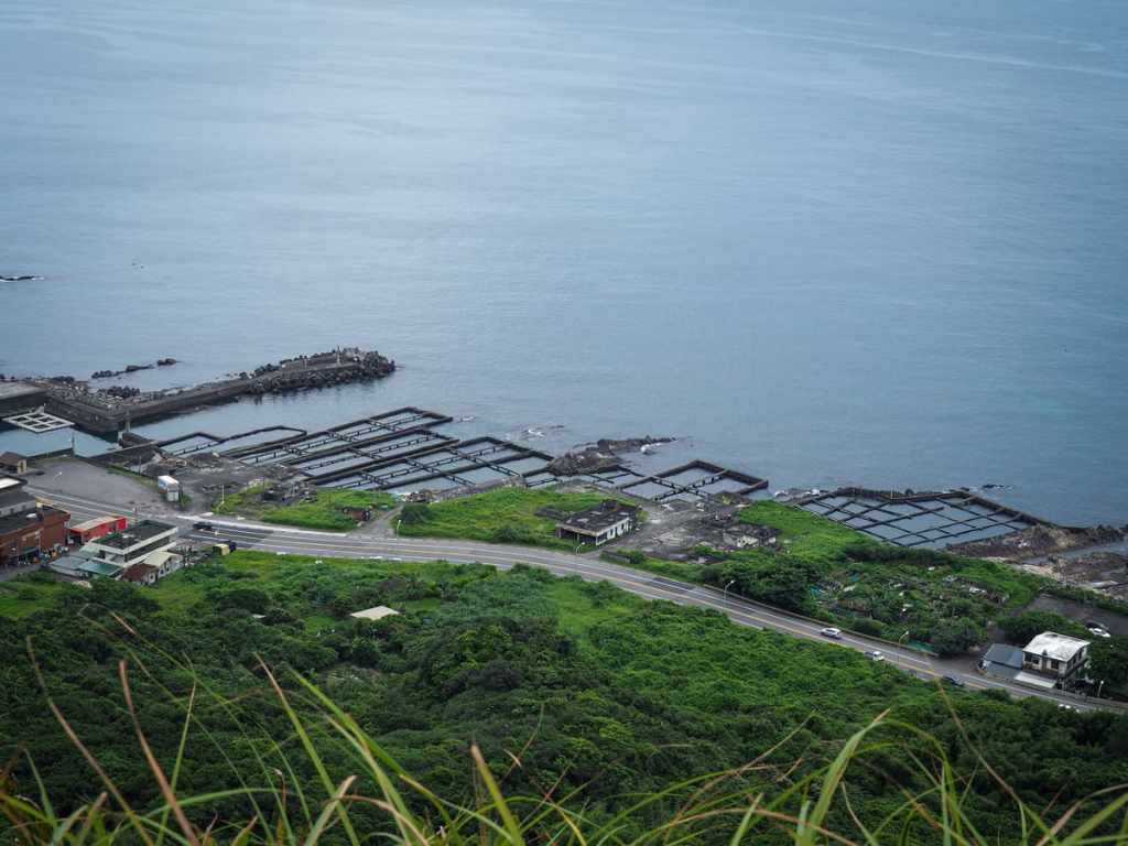
As with the summit of Mount Huoyan, it offers coastal view, although this time, we were able to get our first glimpse of our destination, Jinsha Bay. At 161 metres above sea level, this is the highest point of the whole walk.
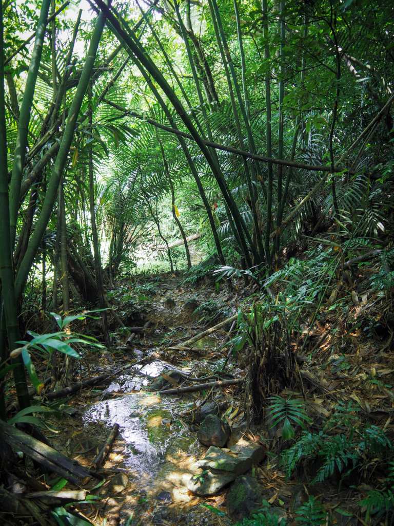
From the second summit, the trail tracks steeply downwards. At one point, we found ourselves crossing over a small stream. What with the water and the bamboo, this little section felt very pretty.
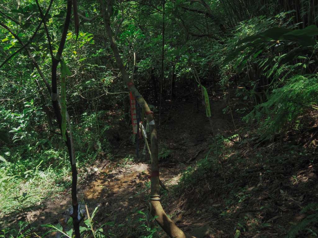
The stream and the trail run down to the junction with Shibikeng Historic Trail, and from here, we turned right to follow the trail back down to the beach.
Had it not been so damp, muggy (and spidery) this would have been a very pleasant walk.
Right before the final descent, there’s one more lookout spot where you can see over the beach. From up here, it’s clean where the beach’s name, which means “Golden Sand” comes from.
From the lookout spot, it’s only about 300 metres, but with tired legs the muddy descent felt far longer.
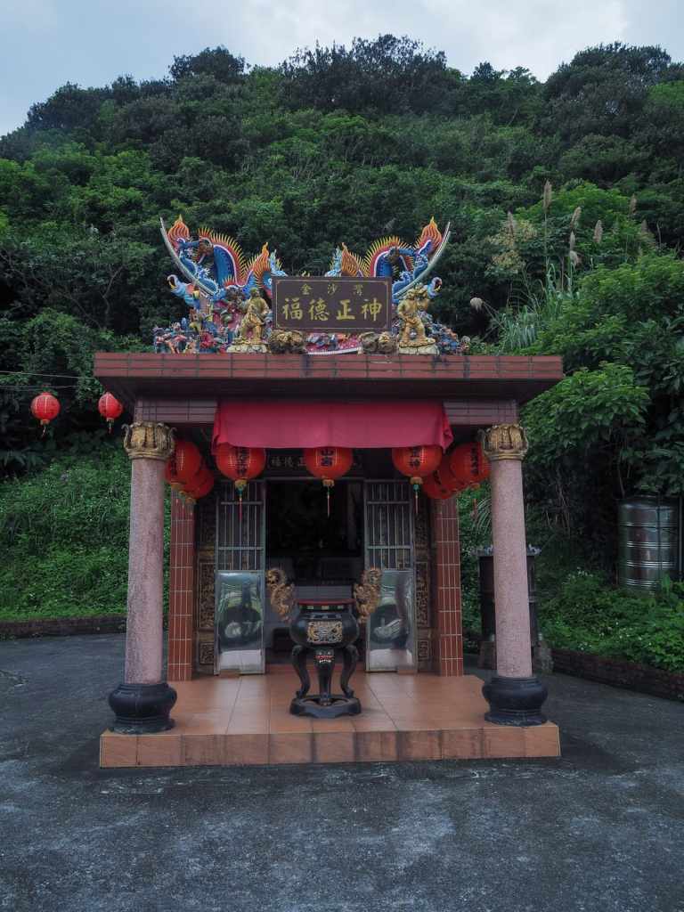
The path breaks through the tree line right beside a land god temple, but more importantly…
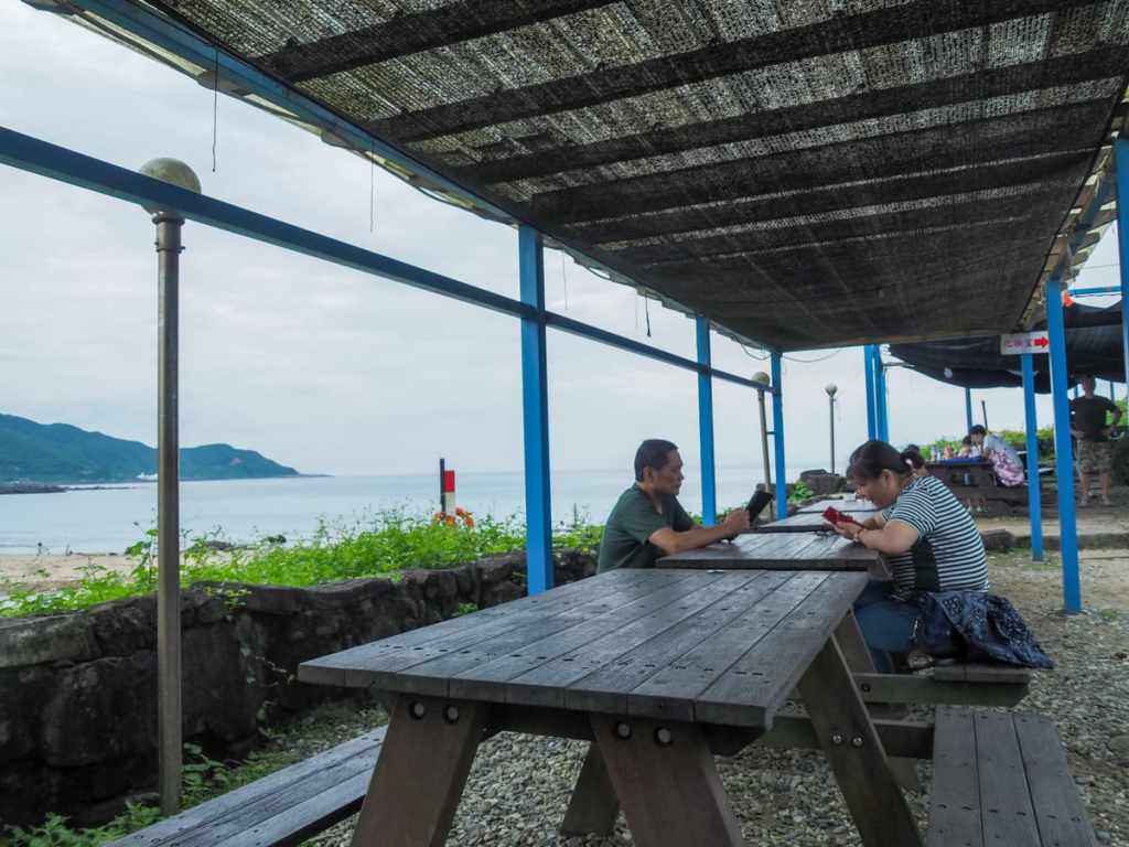
…right across the road from this beachside café. We hosed the mud off using the café’s outside “shower” (it’s just a hose attached to an upright stand) and downed iced drinks before heading onto the beach for a quick dip. The water was exceptionally clear and exactly the kind of thing needed to clear off the cobwebs (literally).
How to get to Jinsha Bay
Google Maps address: If you’re driving or scootering to the trail, you can park in the free beachside carpark.
GPS location:
- Aodi trailhead – N25 03.480 E121 55.400
- Jinsha Bay trailhead – N25 04.450 E121 55.000
Public transport: The closest bus stop to the starting trailhead is Aodi Harbour and the closest to the ending trailhead is Golden Bay and there are couple of options for getting there. You could get a train to Keelung, then catch the 791 from Chenghuang Temple bus stop. Or you could get a train (or bus) to Ruifang and catch the 856 Taiwan Touist Shuttle from Ruifang Train Station (District Square) bus stop.
Further reading: I learnt about this route from this Facebook post. You can also see a slighlty different version in Tong Huang’s video.
Nearby trails:
- Caoling Historic Trail
- Fumao Historic Trail
- Nanya Teeth Rocks
- Stegosaurus Ridge
- Tamsui Kavalan Trails – Fulong to Dali
- Tamsui Kavalan Trails – Ruifang to Fulong
Huoshan Meiren Trail Map
GPX file available here on Outdoor Active. (Account needed, but the free one works just fine.)
