A Gentle Wander in Taoyuan’s Pingzhen District
After a very busy couple of weeks, I wanted gently, a no-brain, no-plan escape, and since my partner was heading to Taoyuan for work, I hitched a lift with her and decided to drift around one of Taoyuan’s rural areas for a bit. She dropped me off near Taoyuan train station, and from there, I hopped on a westbound train and got off at Puxin. I’d noticed there were a lot of temples and waterways in the area, and thought it probably had good potential for a laidback ramble — a guess that turned out to be spot on.
Distance: About 6.5 kilometres.
Time: 1 – 2 hours — I walked this in a little under 2 hours, but on a bike, it would have been quicker.
Total ascent: Only around 30 metres.
Difficulty: 1/10 – This is a walk in the park for both seasoned and first-time Taiwan hikers.
Water: I took 1L and drank only a little. There is a water dispenser in Puxin TRA station and some convenience stores nearby.
Shade: Much of this wander is quite exposed, so on a bright day, you’d need protection from the sun.
Mobile network: Clear signal throughout.
Enjoyment: This isn’t “wow” kind of walk, but it offers a different, gentle kind of enjoyment. There are flower fields and chickens and tiny hidden temples and fast-flowing waterways. Everyday rural Taiwan is a side of Taiwan that outsiders don’t often experience.
Bathroom facilities: There’s a toilet at the train station and there are a couple of portaloos along the way.
Other: I walked this route, but it is all set up to be a cycle path. If you’d rather bike it, you can pick up a YouBike from in front of the train station.
Route type: Loop
Permit: None needed
Jump to the bottom of this post for a trail map and GPX file.
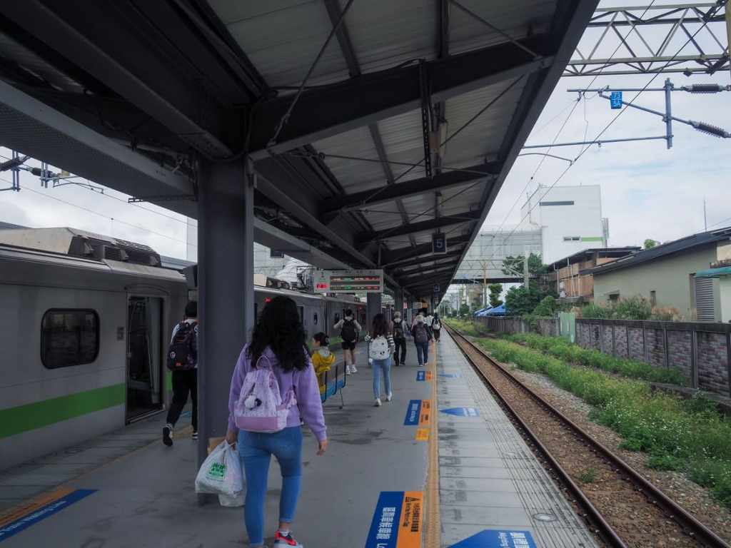
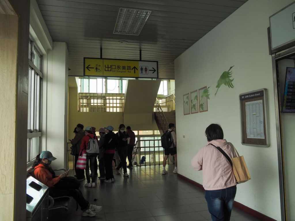
I was one of quite a few people to alight at Puxin Station. I’d already collected the station stamp some time last year, so I headed straight out through the gates towards the Yangmei Street exit.
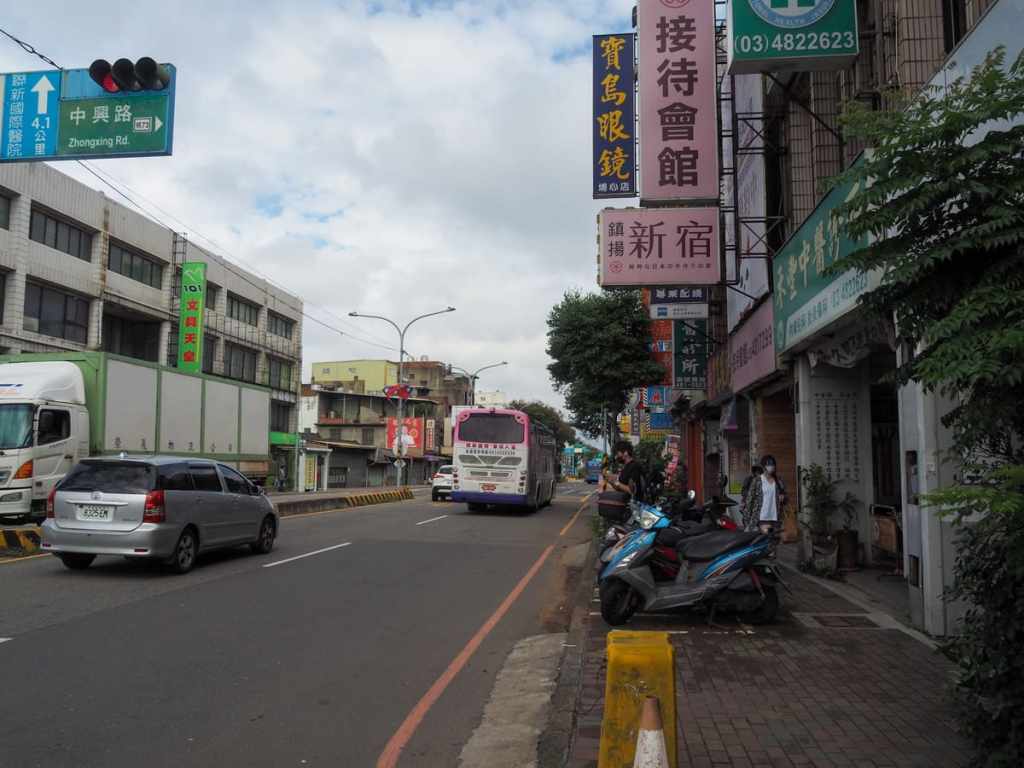

Turning left out if the station, I made my way towards Rixin Street. Turn right onto the narrow street, then almost immediately followed it as it turned left.

After a few minutes, the road intersects with Shimen Big Canal and I took a right to head upstream alongside the water. (There are paths on both sides of the water, but make sure you follow the path that’s furthest away from the buildings since the other one tapers off into a dead end.) This
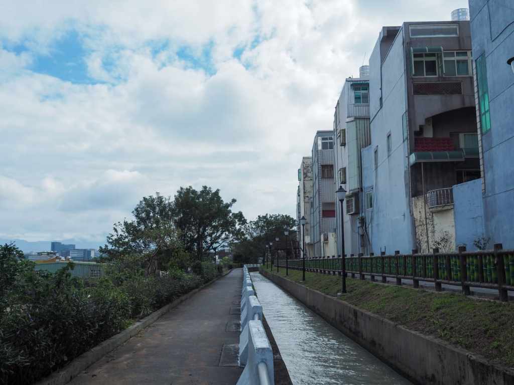
Shimen Big Canal (石門大圳) flows out of Shimen Reservoir and was built around the same time (in the 1950s). It was one of several large infrastructure projects undertaken by the newly incumbent KMT government. It winds through the countryside for 27.4km. Spilling out from its steady flow there are 18 smaller branch canals and 43 even smaller irrigation channels, getting water where it needs to go – into the farmers’ fields.
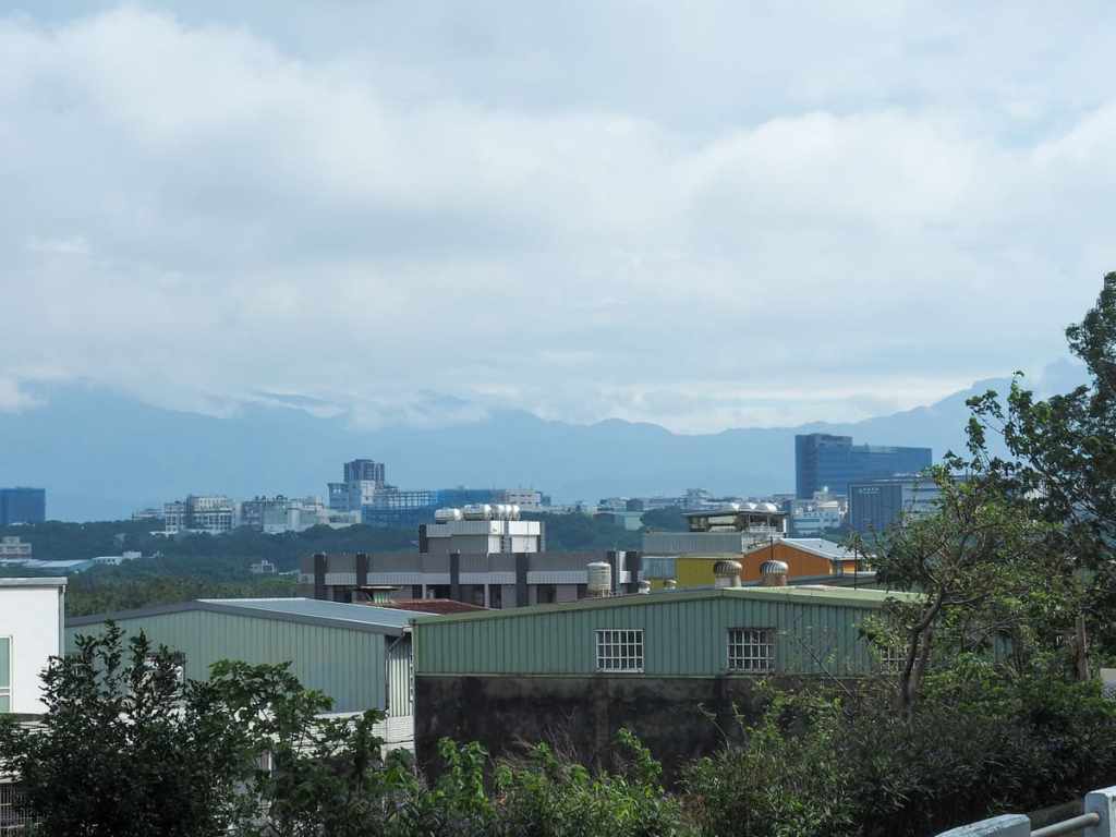
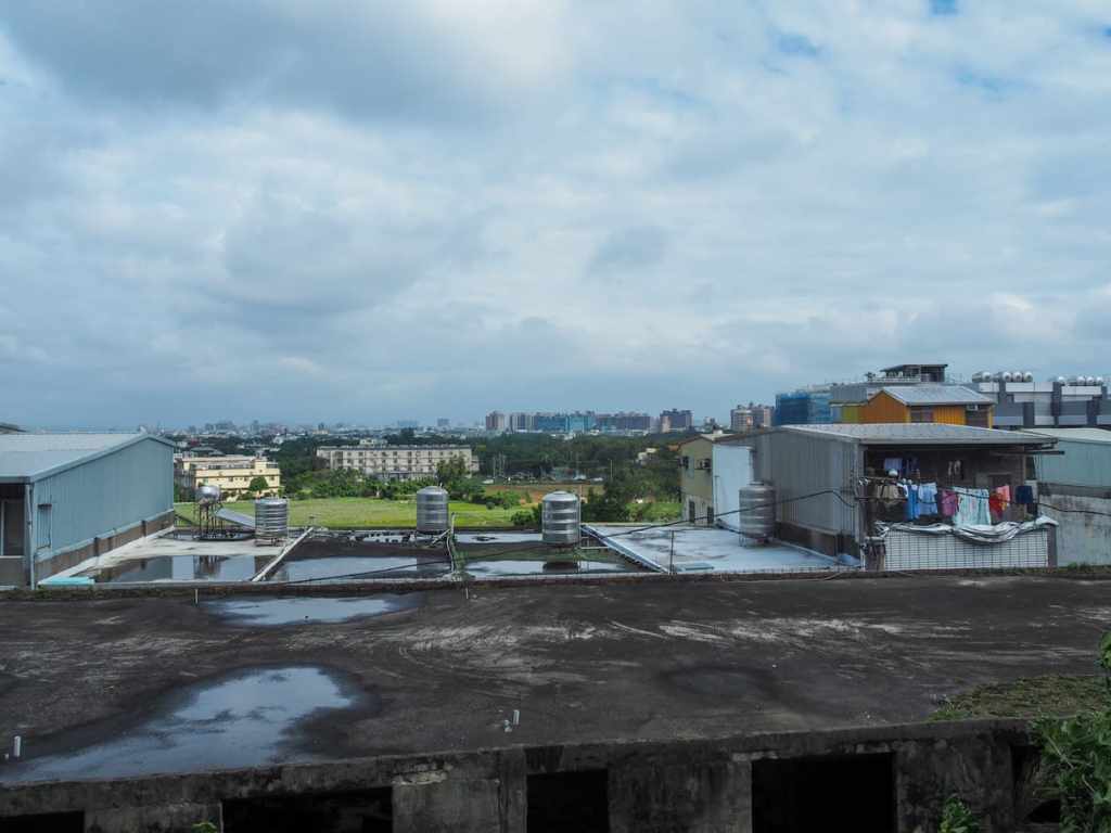
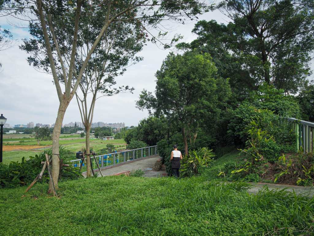
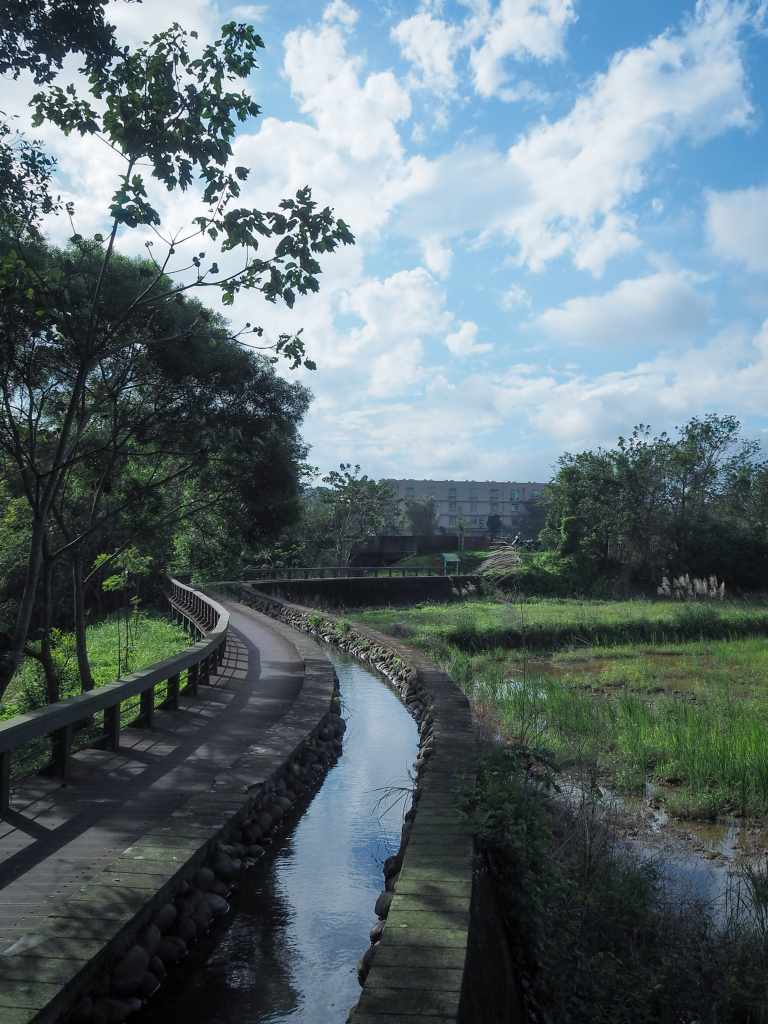
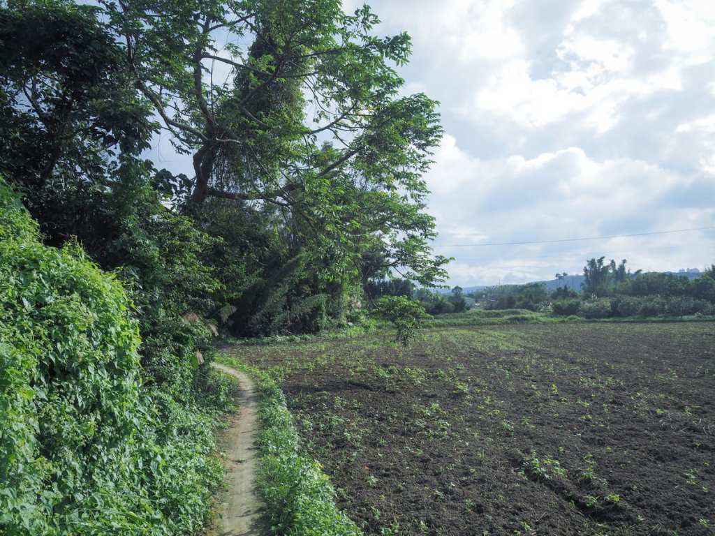
From its somewhat elevated position, walking along the canal trail offers views over the rooftops of nearby homes and factories towards rice fields and distant mountains.
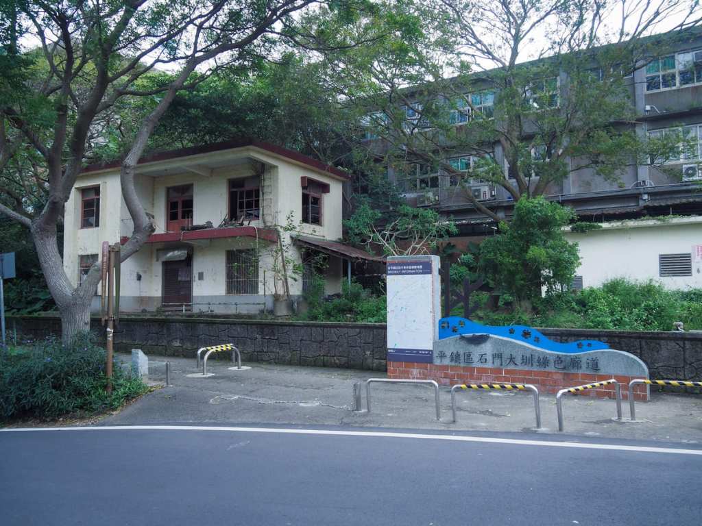
The path crosses over Zhende Road (鎮德路) and continues along a more beautified — or at least a greener — stretch of the waterway.
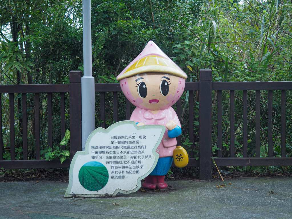

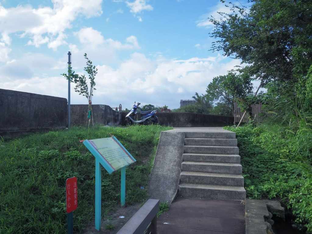
A few information boards along the way give a little background information about the area. The one on the left explains how Pingzhen was famed for its tea during the Japanese era, while a sign close to where the photo on the right was taken explains how the local Hakka-style houses were traditionally sprawling affairs with lots of outbuildings for keeping pigs and firewood.
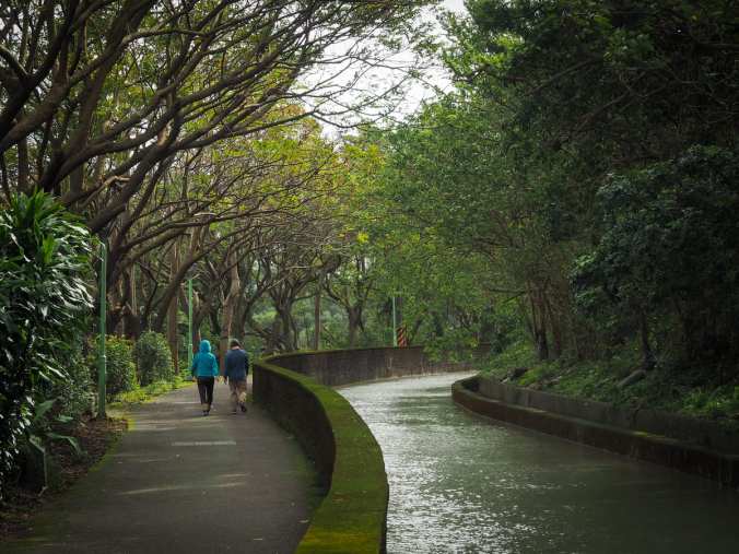
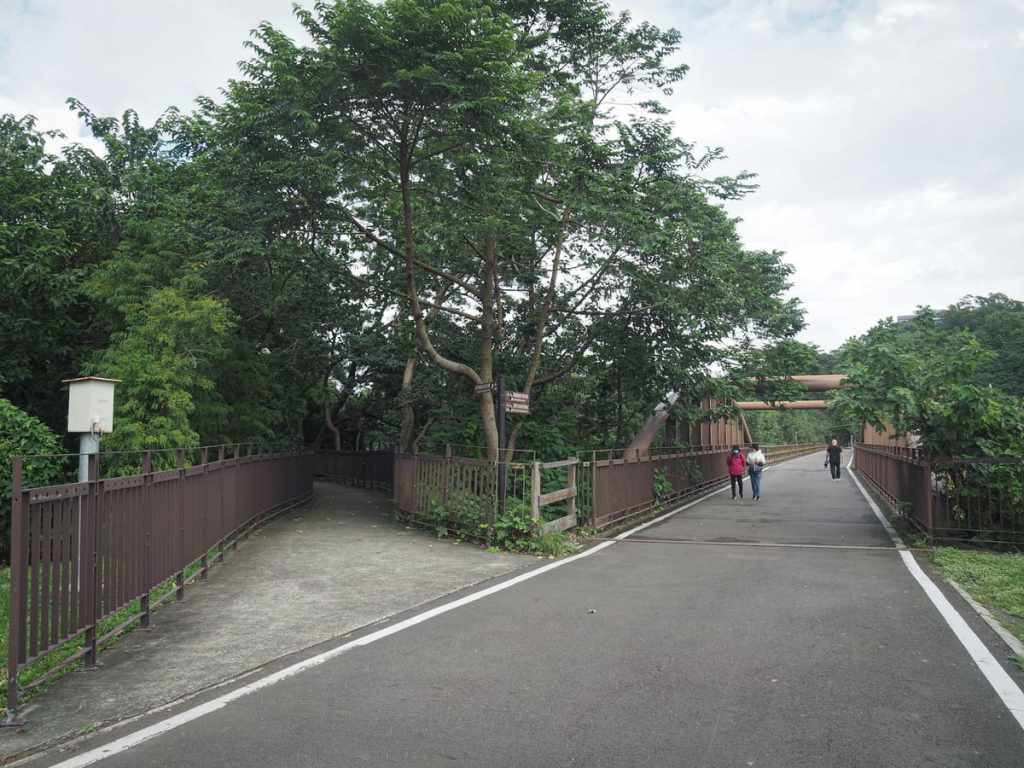
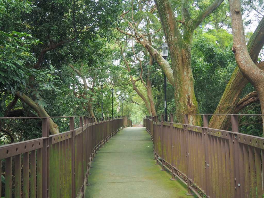
The next kilometre is a very pleasant walk (or ride) along a green tunnel with the water flowing to your right.
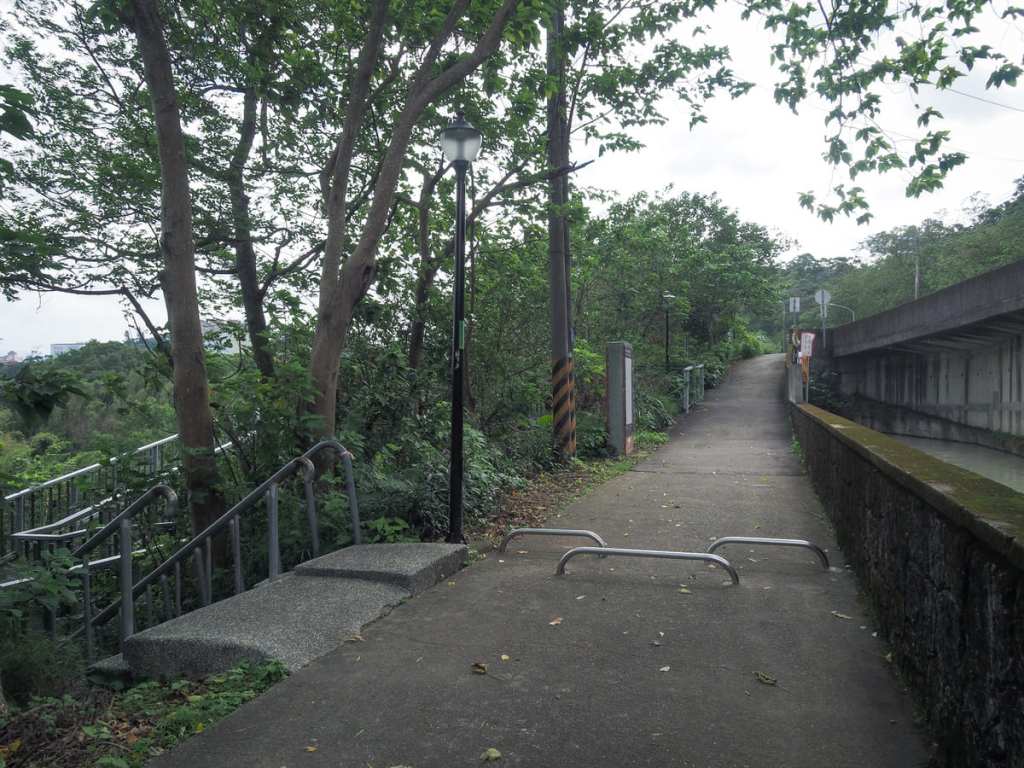
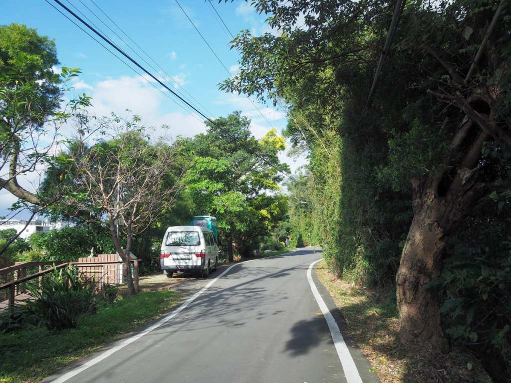
Just before the waterway crosses under Zhongxing Road (中興路), steps and a ramp dart down to join a small lane. I turned right onto the lane and immediately bumped into a friendly older gentleman who seemed equal parts perplexed and delighted to see me. He asked the standard set of questions before allowing me to continue on my way.

To my surprise, I came across a clothes washing pool beside the road here. I have been fascinated with these ever since I encountered my first few while hiking the Tamsui-Kavalan Trails. Hakka areas tend to have a higher density of them, and this corner of Taoyuan has a sizeable Hakka population. I’m not convinced this one is still in use, but I wouldn’t be surprised to hear that it was.
Turn left onto Zhongxing Road and keep an eye open for a path on the left that cuts through to the bikeway.

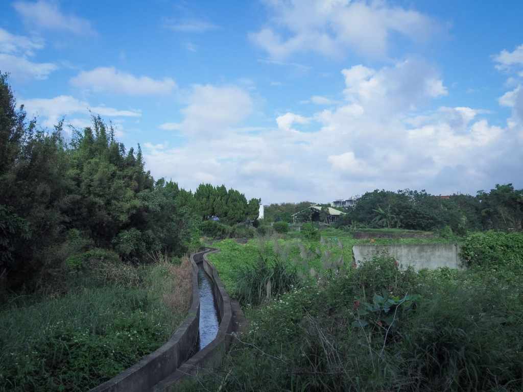
One of Shimen Big Canal’s smaller irrigation channels flowing through a cluster of allotments.
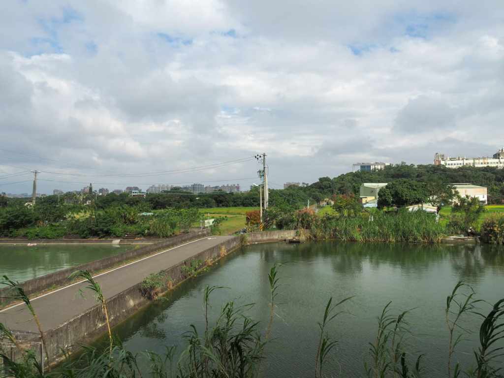
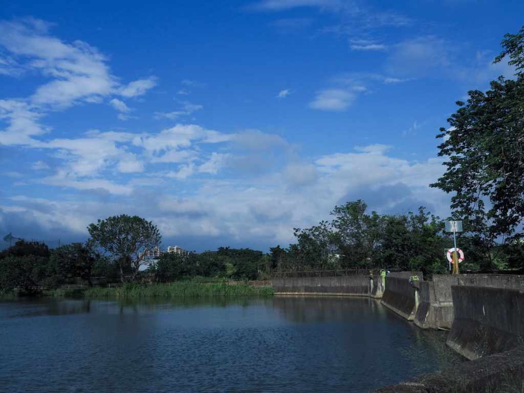
The bikeway passes between a couple of fishing ponds — only a few egrets and a lone fisherman were there when I passed through.
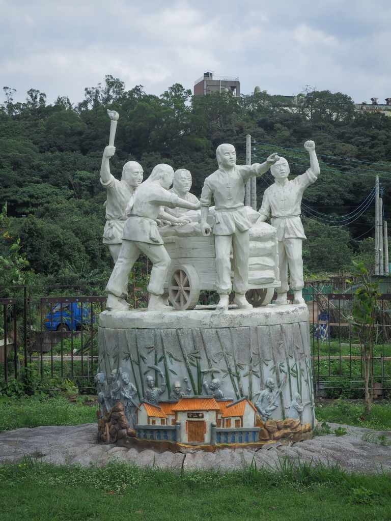
A statue beside the bikeway commemorates one of the region’s most noteworthy historic events: the Battle of Anpingzhen. In 1895, after the Japanese invaded Taiwan, two Zhenxing residents Hu Jiayou (胡嘉猷) and Huang Niangsheng (黃娘盛) led resistance efforts in an attempt to keep the Japanese from seizing control of their village. Given the relative sizes of the Japanese army and Hu and Huang’s militia recruits, they were never destined to succeed, but — for several days — they kept the Japanese forces at bay. Despite their ultimate failure, their efforts would go down in history as being the first time where locals organised to resist the Japanese invasion.
On the opposite side of the path from the statue and just before you reach a bridge crossing Dakengkan Stream, the trail takes a left turn.
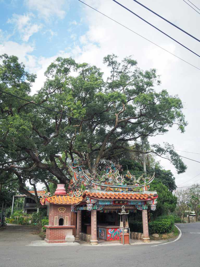
Zhennan Fude Temple commands attention. It stands near the junction of the bikeway, a road and a river, and is sheltered beneath the sprawling boughs of an ancient camphor tree. A faded magazine clipping has been posted to the temple’s interior wall and states that there are some in the community who believe it’s around 200 years old.
In 1979, the temple was renovated for the third time (this is the version that still stands today), and in the course of this building work, the camphor trees’s branches were pruned for safety and to neaten the appearance. The cuttings were processed to extract the camphor oil and all proceeds were ploughed back into the temple, which explains why such a middle-of-nowhere place has such a prosperous-looking little temple.
The magazine has one final dramatic story to impart. Apparently, during the last year of the Japanese occupation, the camphor tree looked like it was on its last legs. The leaves yellowed and drooped, fresh growth stopped, but no one knew why. Then, miraculously, when Japan ceded Taiwan at the end of WWII, the tree burst forth in an exuberant display of young green leaves. A patriotic spirit.
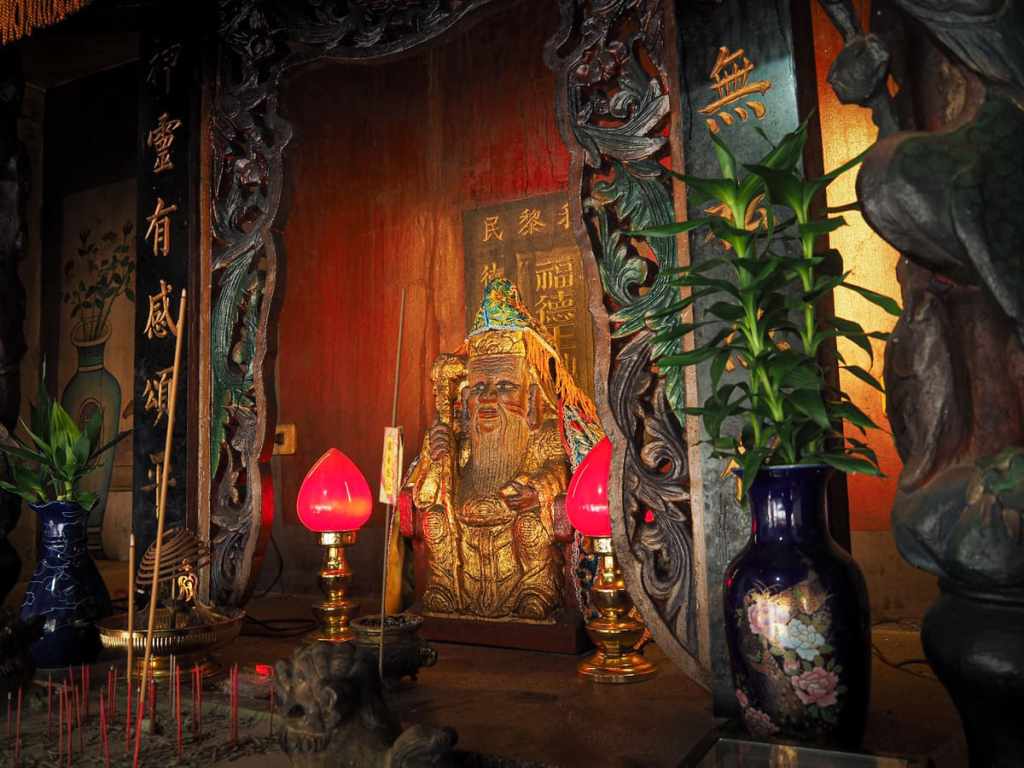
The temple’s small altar is presided over by a golden land god idol. At some point in the temple’s past, it picked up a reputation for providing accurate lottery advice, so for a while, it was popular among gamblers, but it seems that these days, he lives a peaceful life out here in the middle of the countryside.
When I visited on a Friday afternoon, there was a vendor selling coffee from a blue truck. He’d got a few tables and chairs spread out and if it were. a little earlier in the day, I would have definitely paused to watch the clouds drift past.
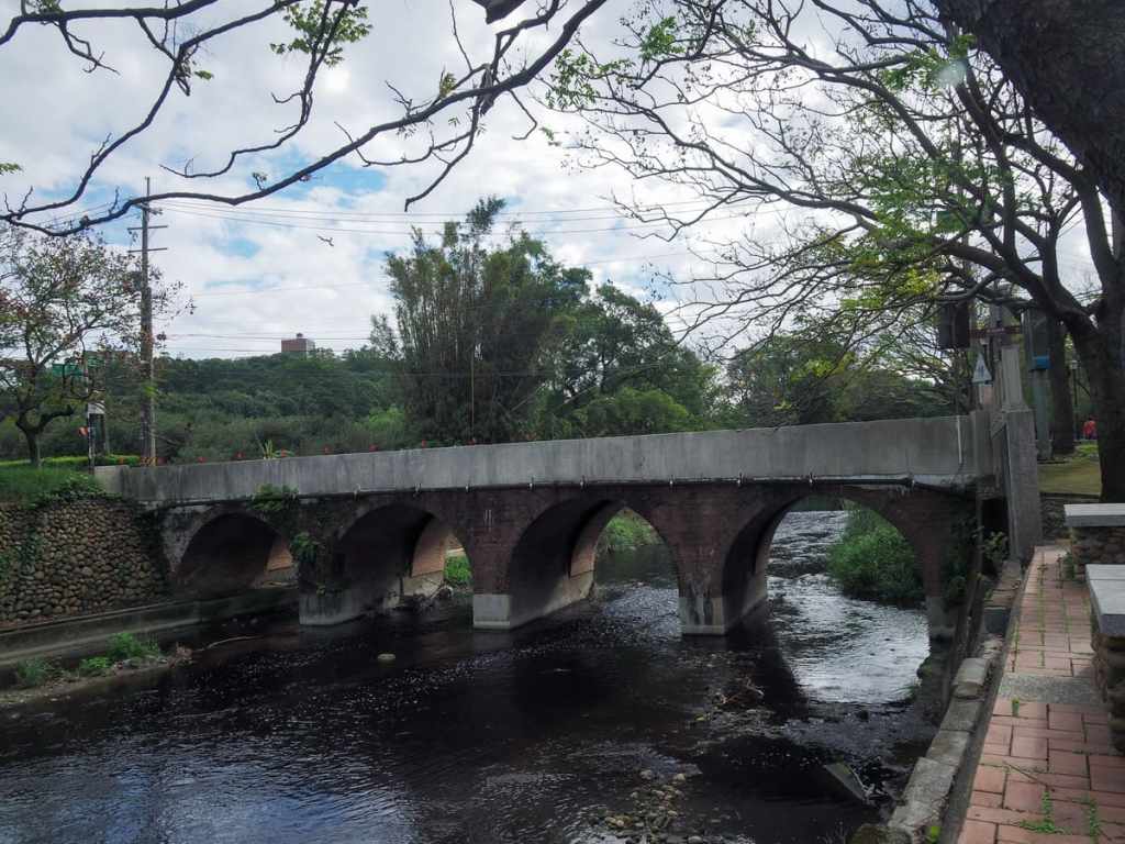
Nearby, you’ll find Zhennan Bridge. This red brick arched bridge was built in the 1920s. Its upstream surfaces have been given a modern facelift, but on the downstream side, you can still see the original bricks. You don’t need to cross the bridge, but it’s at least worthy of a quick pause to admire the old brickwork.

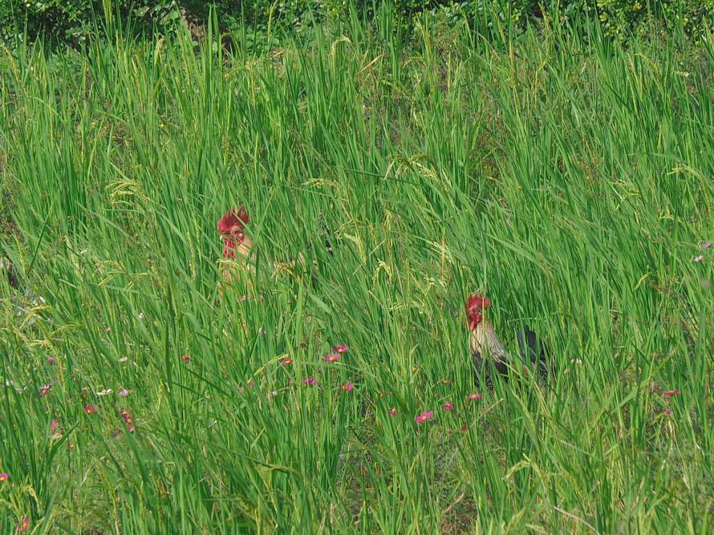
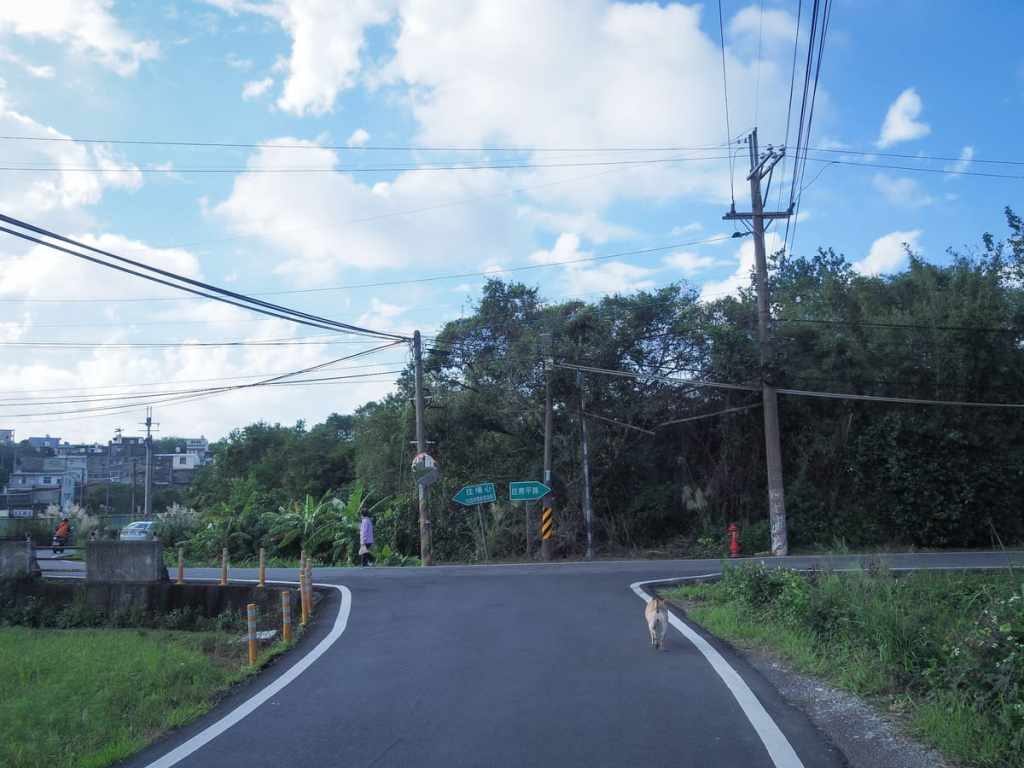
The route continues by following single-lane Zhenyong Road (鎮鏞路) through small farming hamlets. In November, several fields were full of cosmos flowers and I encountered a flock of free-roaming chickens. Stopping to watch them for a while, I was entertained by their antics — they kept jumping to try and catch the drooping seedheads in their beaks.

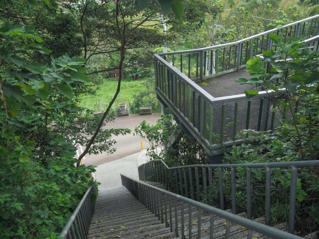
Look out for a wooden trail on the left leading down to a small area of parkland. This is Tongxue Historic Trail (通學古道). During the Japanese colonial period, this trail was used by students passing through on their way to Ruipi Elementary School.
The trail passes a small waterwheel, which seems decorative rather than functional, and then follows a short section of irrigation canal.
At the top of the steps, the trail heading back to where I started goes right, but before I went that way, I took a left and went in search of a secluded shrine.
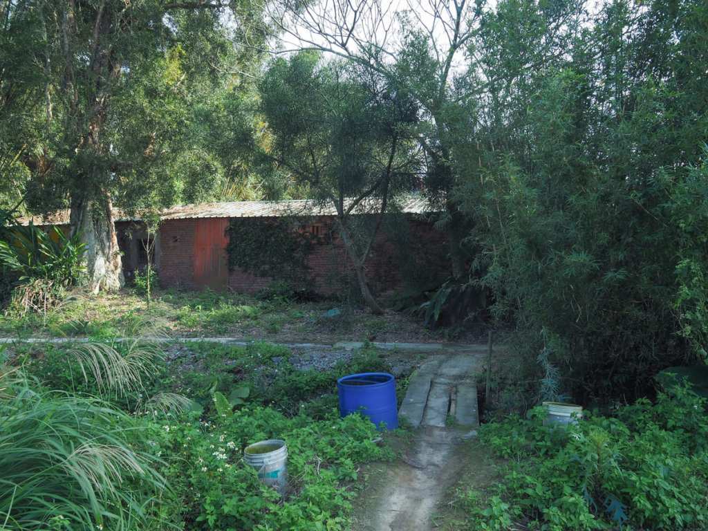
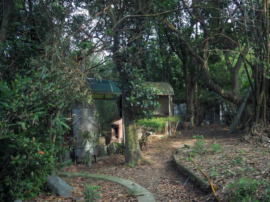
Following a path around the edge of a field, I soon found myself at the back of a farm complex. I crossed over a stone bridge and took a right.
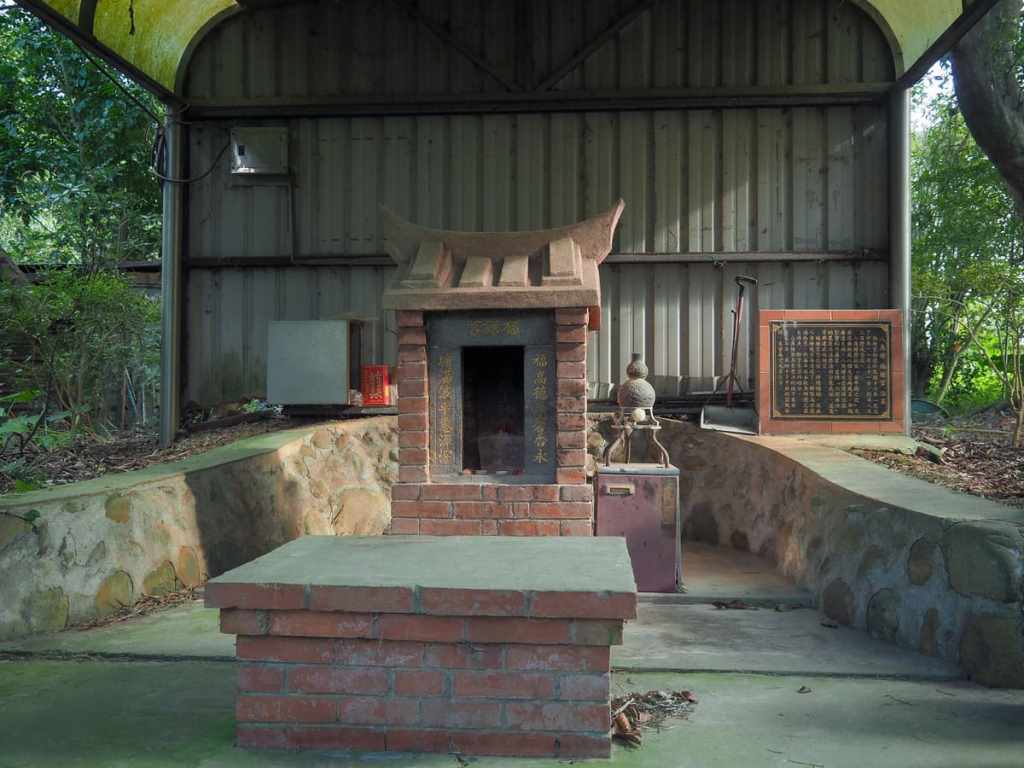
Futang Temple (福塘宮) occupies a small clearing and has its own metal canopy to protect it from the worst of the elements. The small red brick structure was built in 1927 by farmers seeking protection against floods.
Returning back the same way I’d come, I skirted around a small lake and then bore left to head back towards Puxin.

Beyond the lake, the track splits in two. Bear left here, then once you reach the road, take a right turn.
At the next junction, I took another left. As soon as I got round the corner, the road climbed to meet Shimen Big Canal at the exact spot that I first encountered it earlier in the walk and from there, it was an easy stroll back to Puxin station.
How to get to Anpingzhen Bikeway
Google Maps address: The walk starts and ends at Puxin TRA station. If you’re coming by car or scooter, you’ll probably be able to find roadside parking a little further out.
GPS location: The start of the bikeway can be found at N24 55.195 E121 11.255
Public transport: To get here, you’ll need to catch a local train (so not one of the fast services) and alight at Puxin TRA station.
Nearby trails:
- Furen Trail
- Raknus Selu B Route – Longtan Lake to Sankeng Old Street
- Scholar’s Mountaineering Trail
- Zhaiming Temple Historic Trail
Anpingzhen Bikeway Map
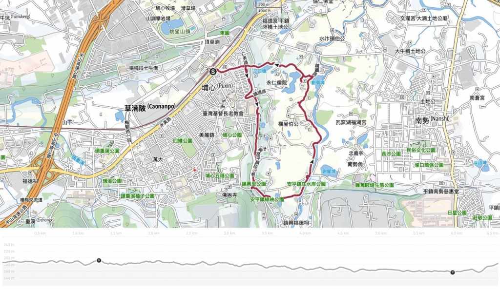
GPX file available here on Outdoor Active. (Account needed, but the free one works just fine.)
