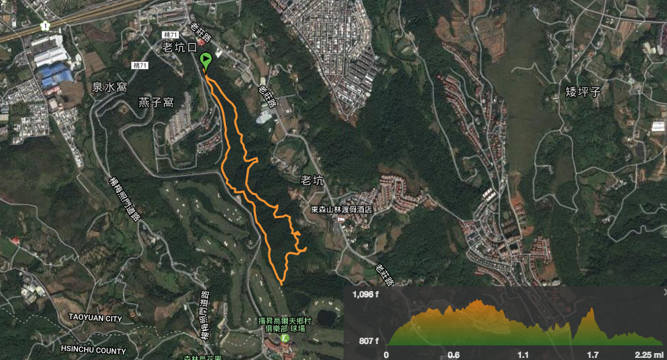
Distance: 3.7km – we walked about the longest trail possible but due to the nature of this location you could make it however short you want.
Time: 2¾ hours with a dog, a couple of diversions and snack stops.
Difficulty (regular Taiwan hiker): 1.5/10 – just some uneven surfaces and poor signage.
Difficulty (new Taiwan hiker): 4.5/10 – it’s not high or long or all that tough, however the surface is uneven (tree roots, loose stones and uneven steps), and the maps kind of disappear half way around (which is almost worse than no maps really).
Water: two people and a dog used up about a litre on a warm day.
Shade: dappled – the whole walk is through a wooded area. I just got away with sun cream and no umbrella, but at midday I think I would have needed an umbrella too.
Mobile network: no problem, network available all the way.
Enjoyment: There are no views to speak of, but it’s an interesting little place and walking with a dog is always good.
Map:
Link to the route available to download or access on the viewranger app here.
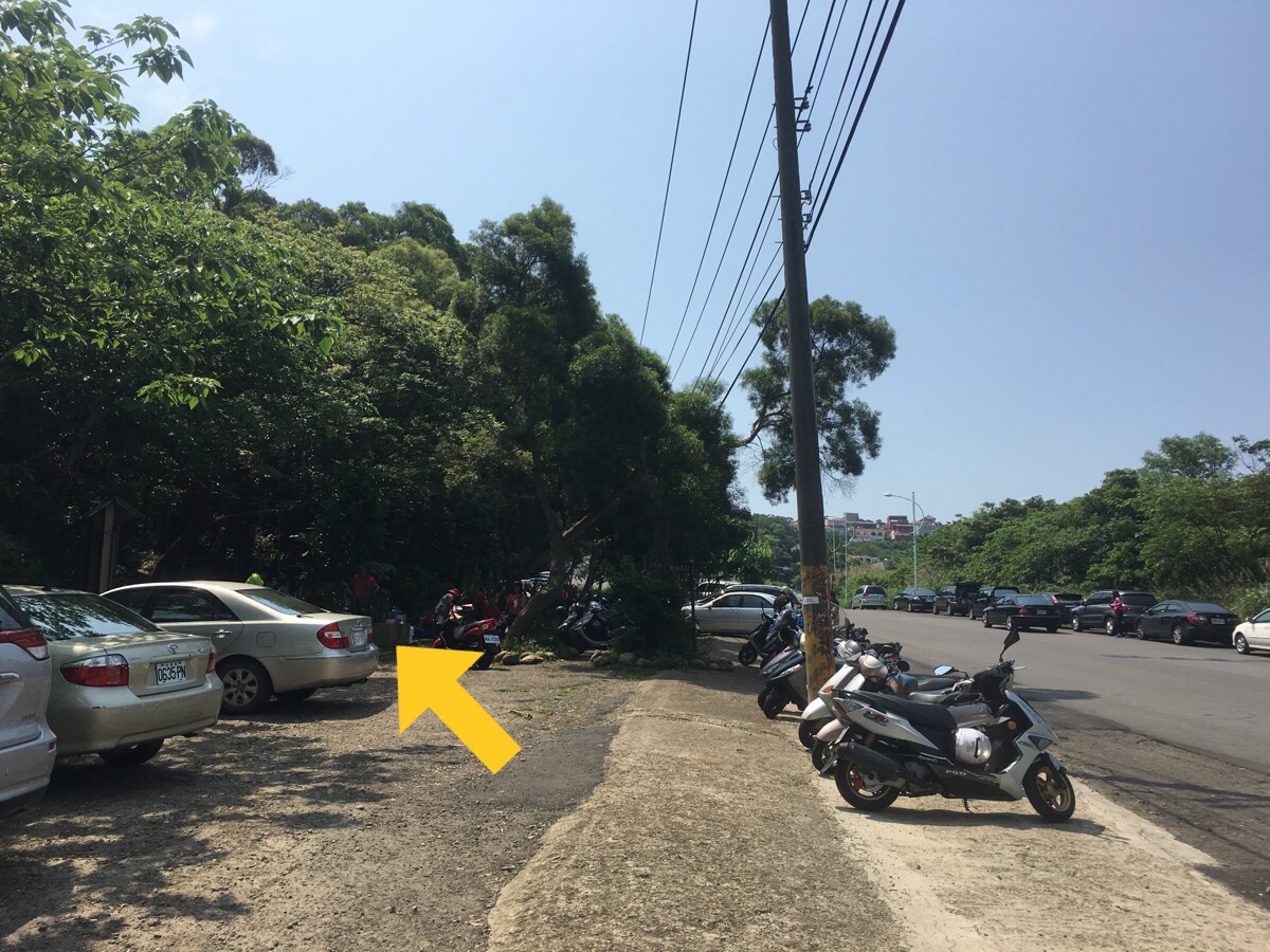
There path starts next to an information board and a swing. Because it was a holiday, there were a couple of vendors selling fruit and vegetables at the entrance.
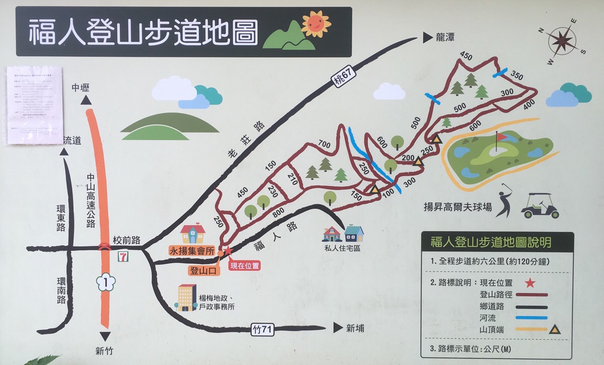
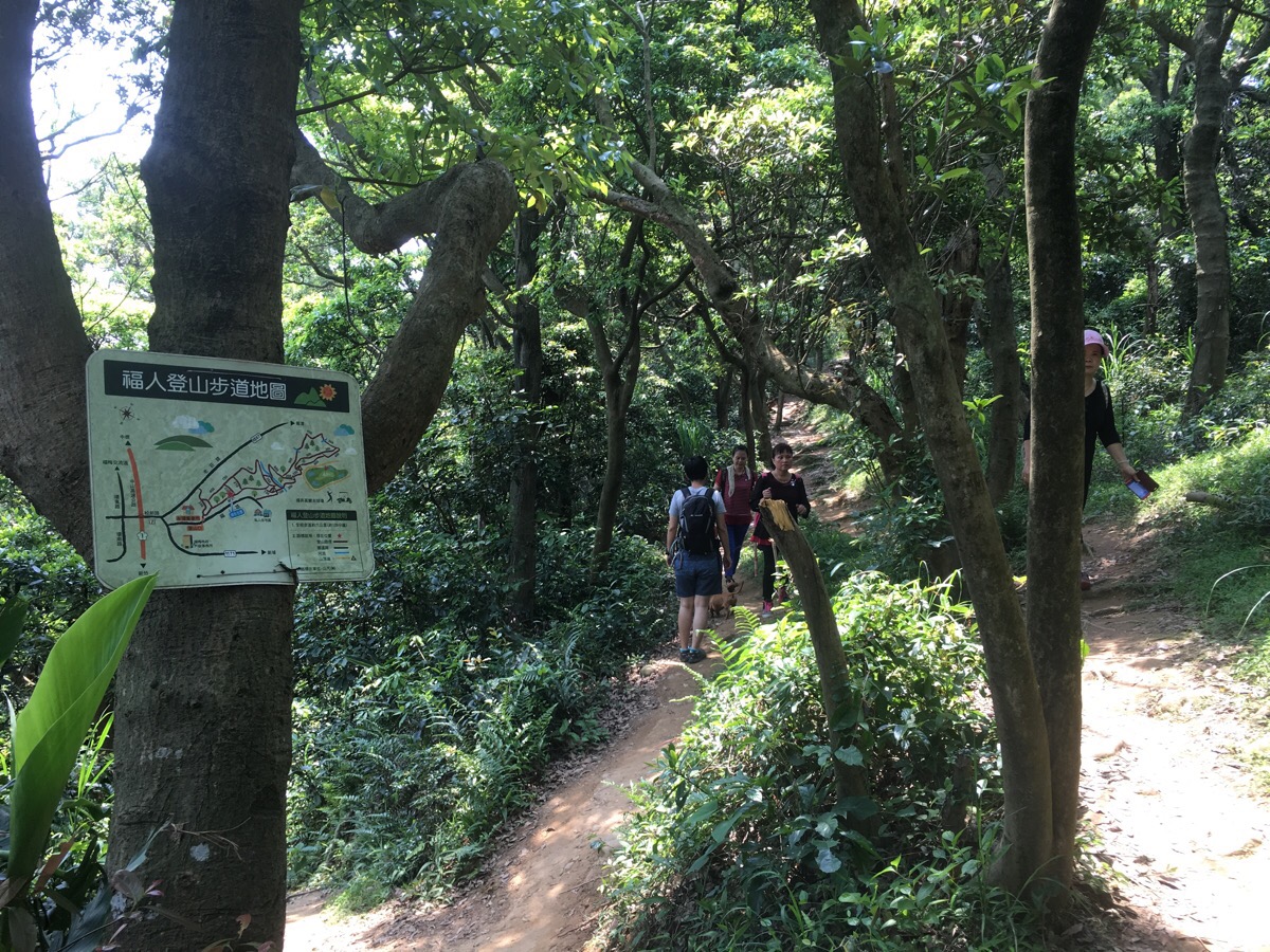
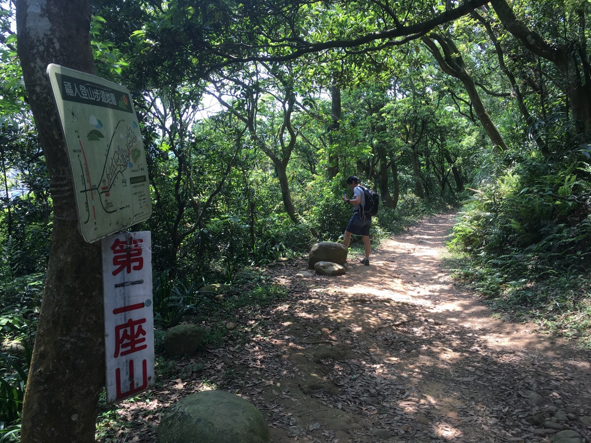
This map is at the start of the trail and smaller versions of it can be found up until about the point where the path crosses the water. Each time there’s a map there’s also a sticker indicating where you are. As is clear to see, there’s a main loop and then lots of smaller paths running between the outside edges of the loop so it’s possible to tailor the length of your walk to the ability of your walking companions.
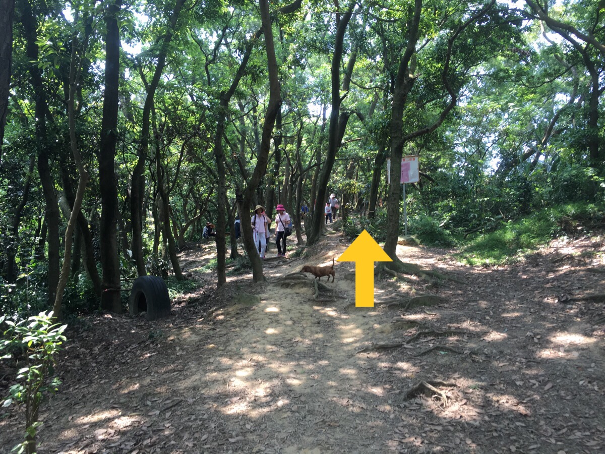
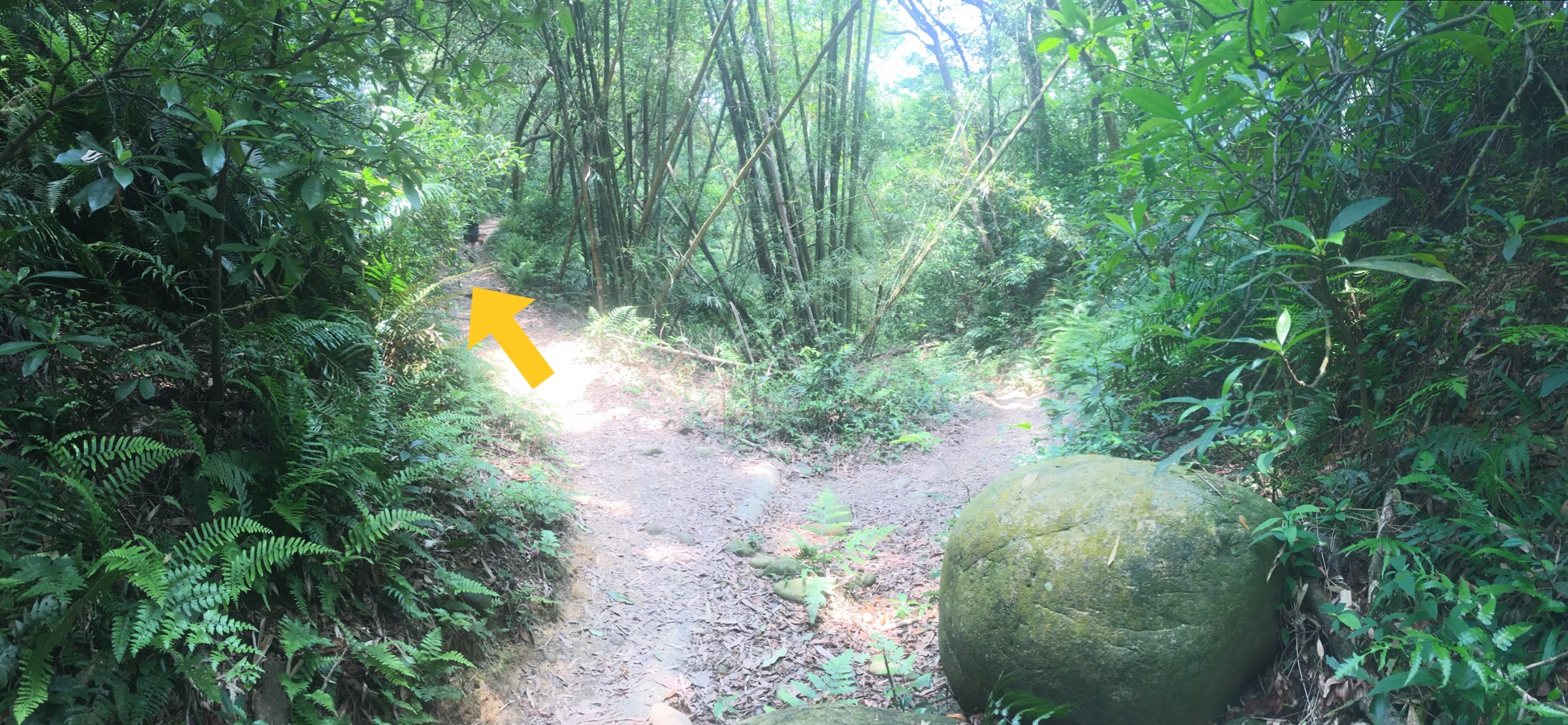
We went anti-clockwise, taking the right hand path first.
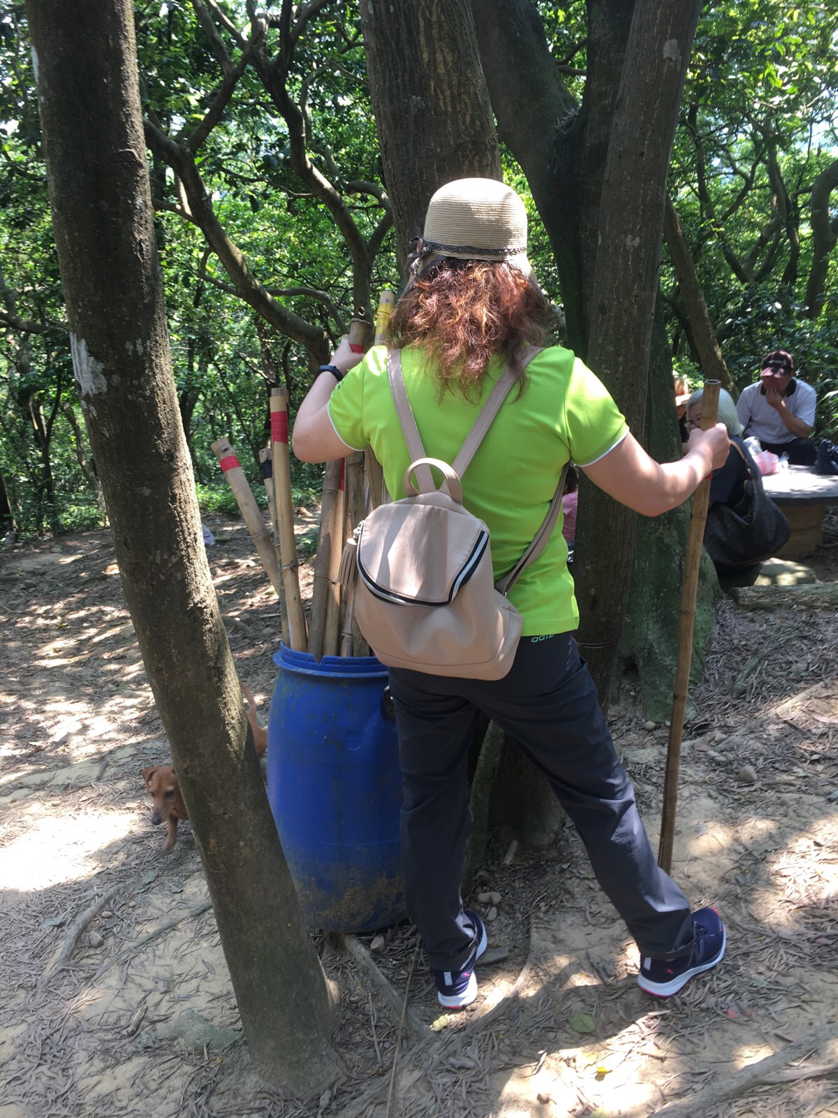
Near the entrance to the trail, locals and regular visitors have left a drum with bamboo hiking sticks for people to use – I can’t say that I would have found them helpful but we passed plenty of older walkers happily waving their poles around.
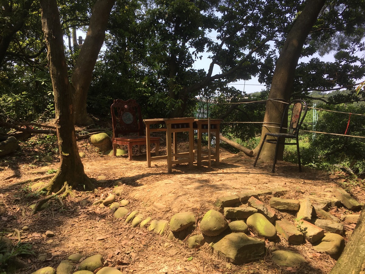
People had also set up several seating areas for relaxing in.
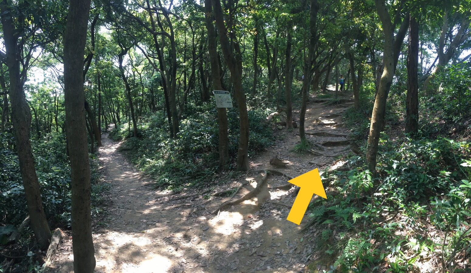
Going clockwise meant that we kept taking the right path each time we had a choice. (There are a few right turns which take you out of the woods and back onto the road but it’s easy to ignore them.)
Almost all the junctions on this first section are marked with a map.
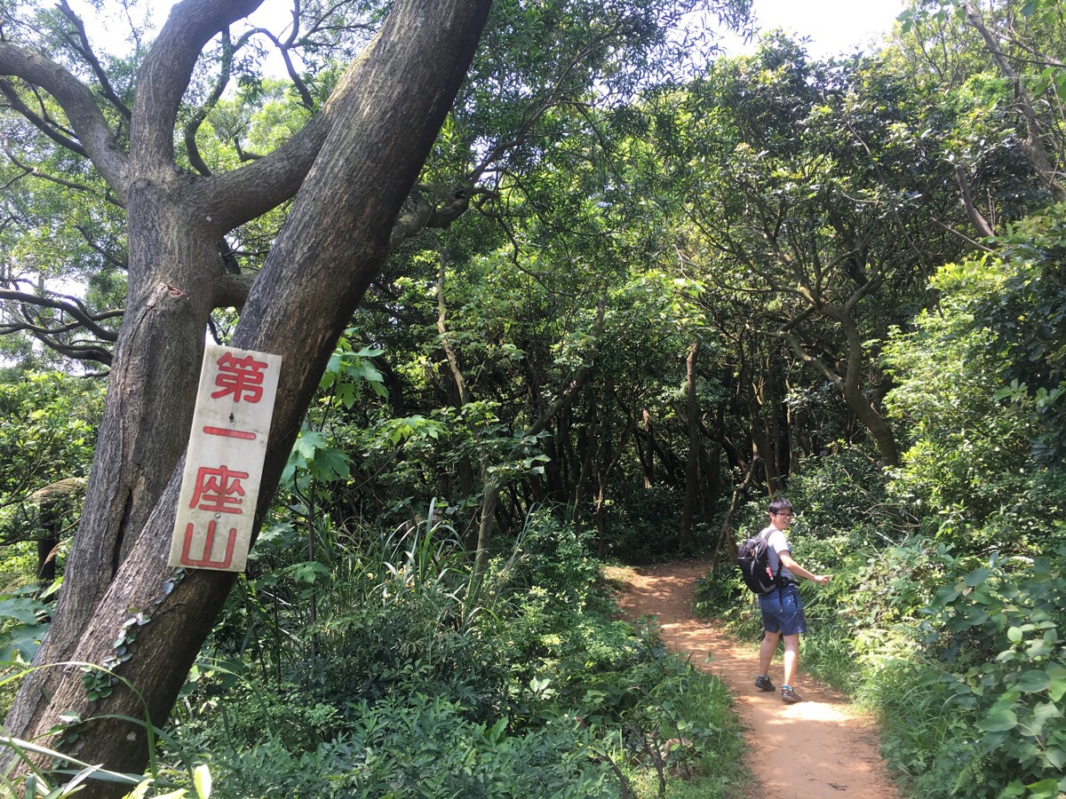
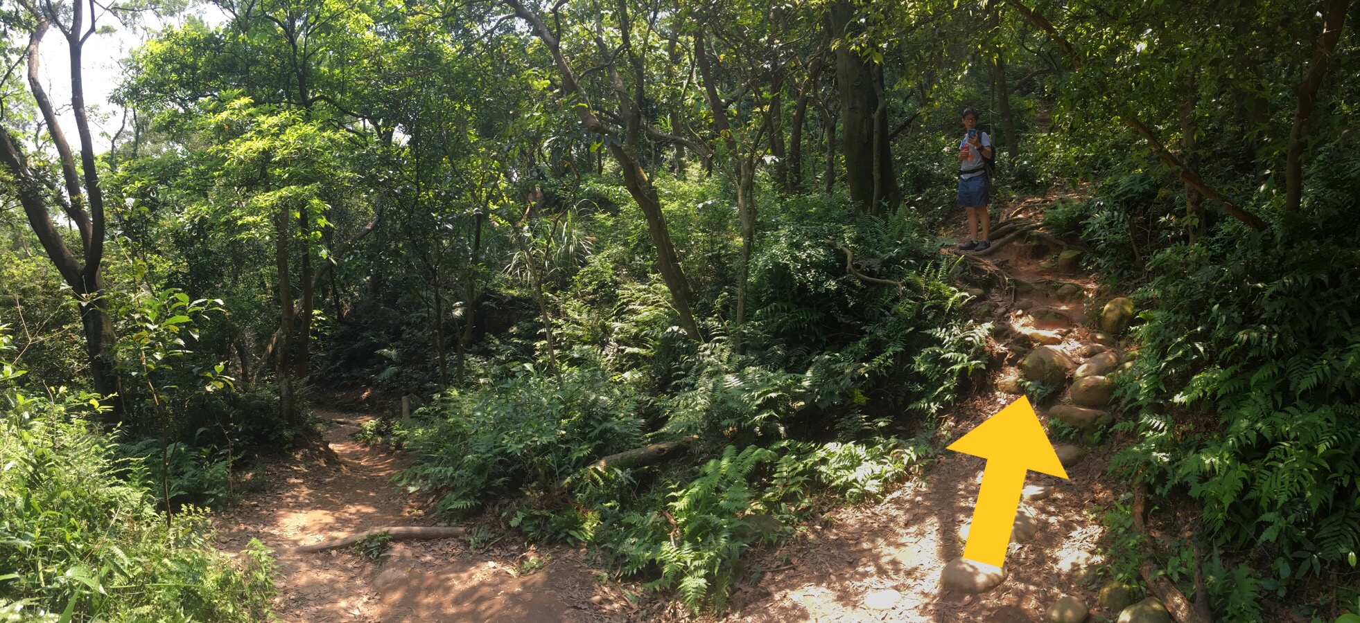
The path passes a couple of small hills but they’re not especially noteworthy.
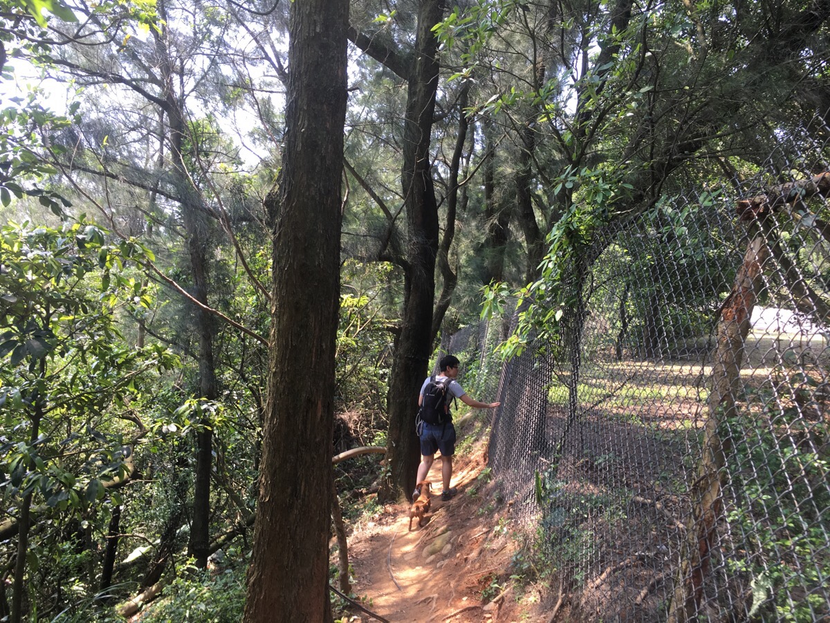
At one point it skirts around the edge of a road next to a wire fence.
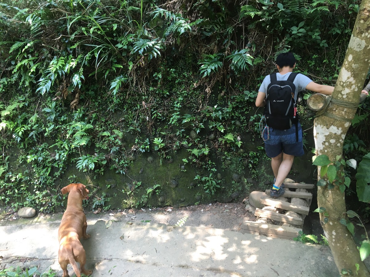
About a quarter of the way round the path briefly follows a catchwater – it was bone dry when we went, I don’t know if it ever becomes impassable due to heavy rain.
The second non-hill hill. This is about the point at which the maps stopped.
We continued heading right at every turn for another couple of junctions until the right turns started being marked with no trespassing signs.
This is the point at which we started heading back and left. The path does continue a little further going right but it’s marked as being private land so we didn’t go further.
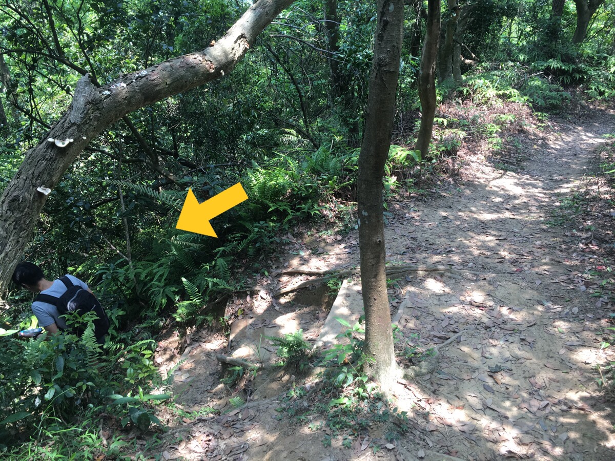
At this point we switched to pretty much just taking left turns. (Although we did take a few rights and had to turn back again.)
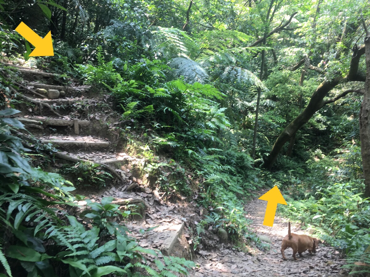
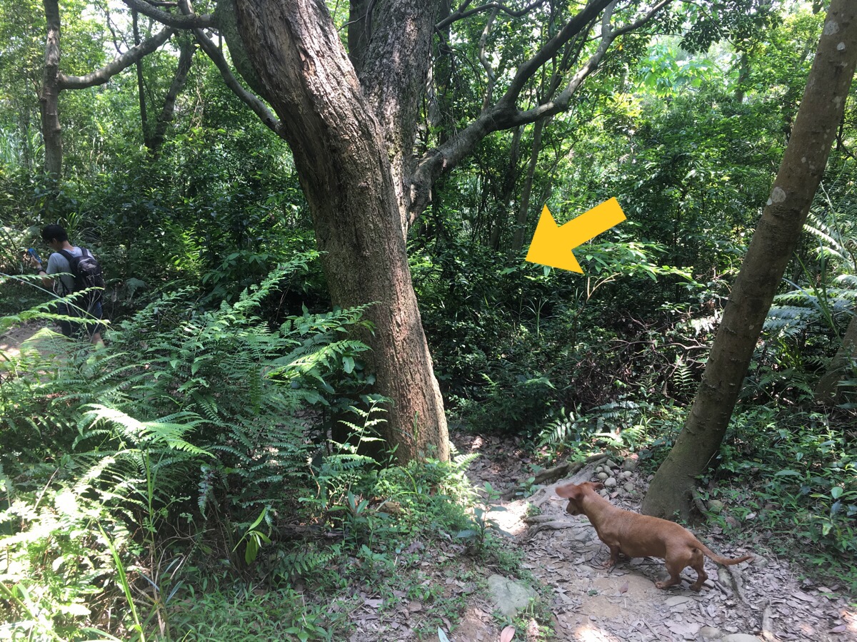
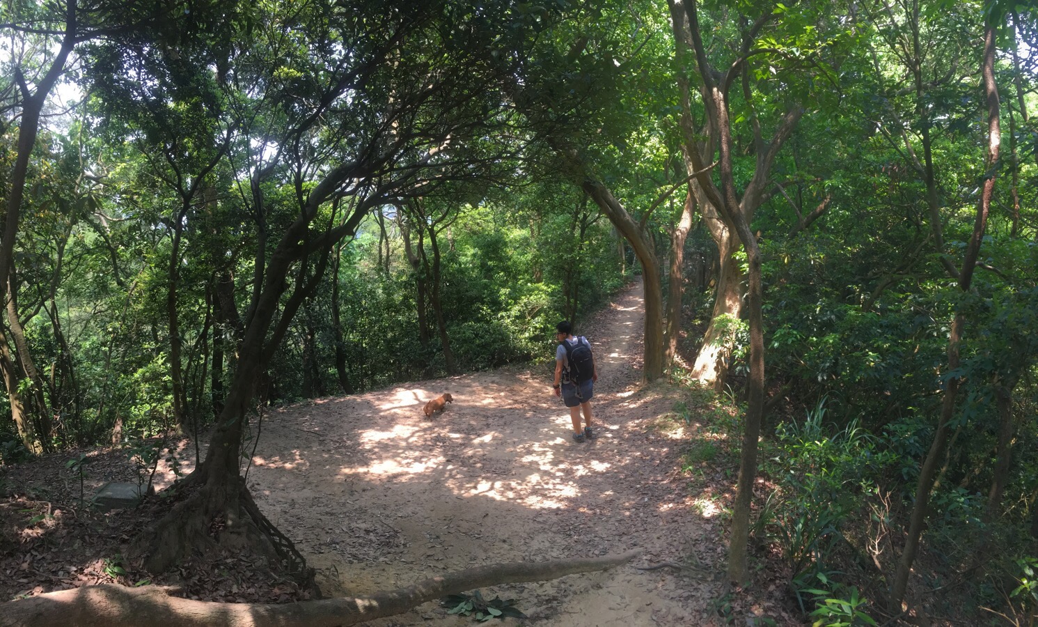
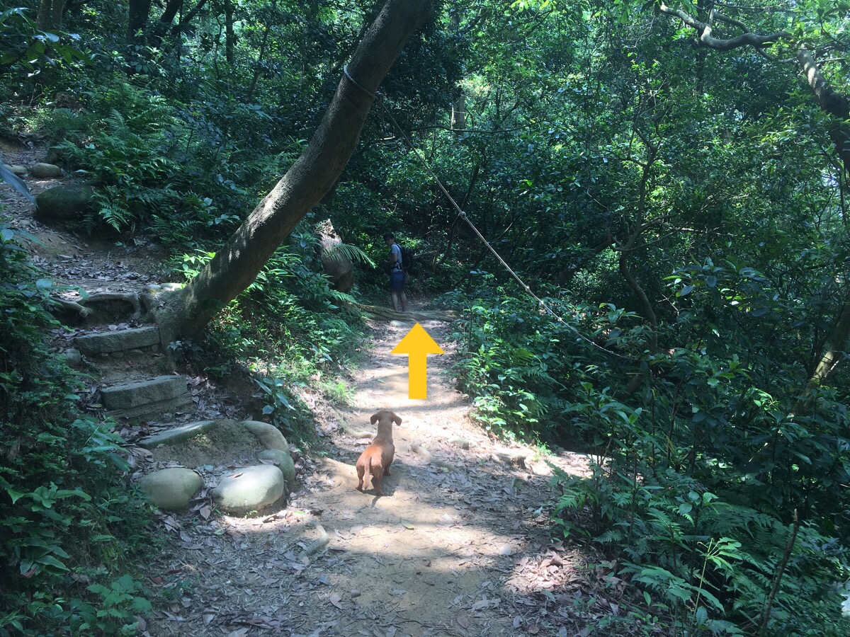
This side seems a lot more up-and-down than the other side and we had to carry the shortest member of our group for some of the steeper sections.
There seems to be a lot more paths than there are on the map – we ended up kind of taking more of a middle route.
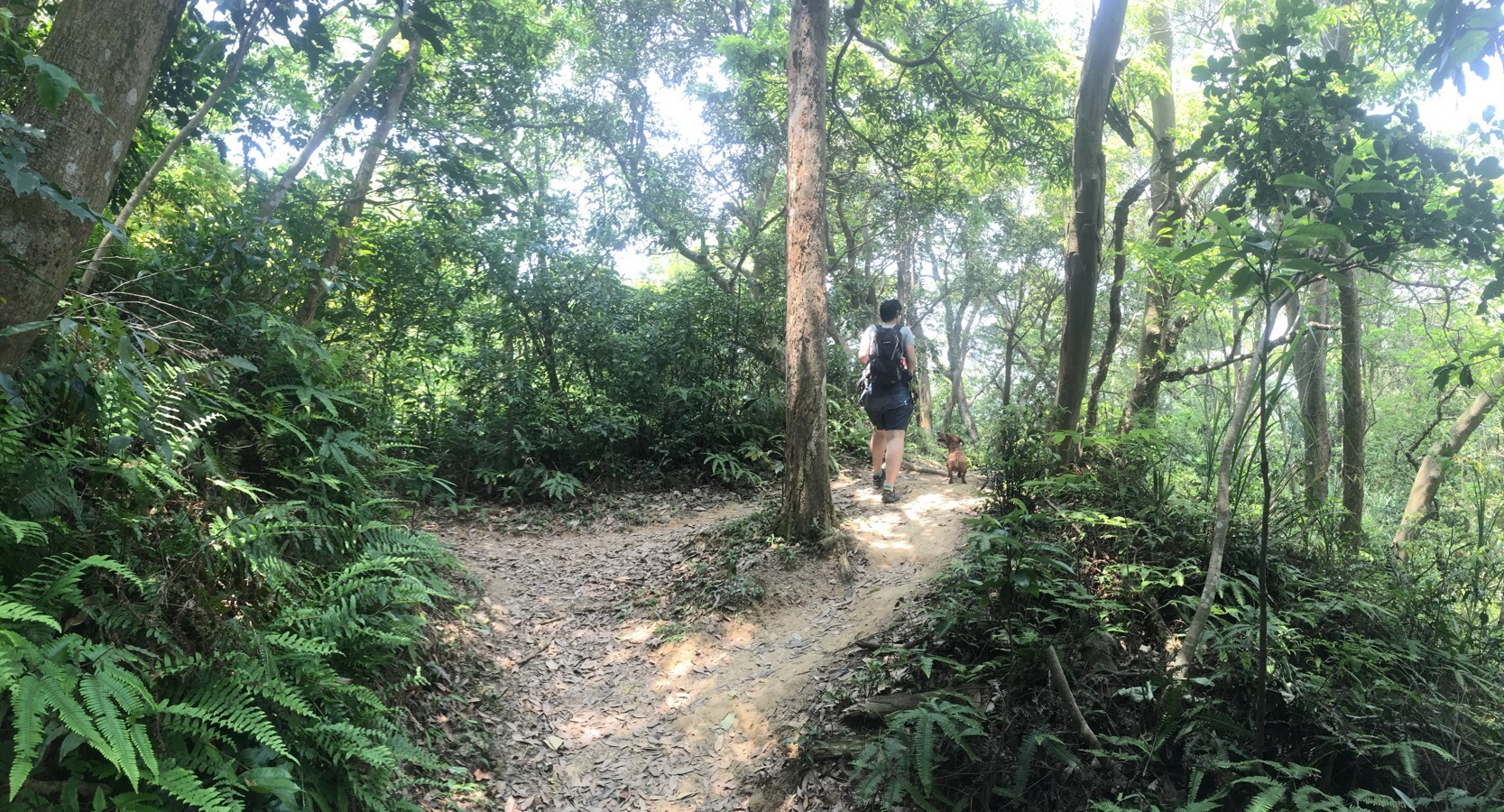
It’s really quite a lovely wooded area, and knowing that it’s a strip of woods between built up land means that you’re basically able to wander and explore without being able to get lost.
For the last third we kept leapfrogging with a husband and wife – the wife really wasn’t pleased about being dragged out for a walk and asked everyone walking in the other direction if she had nearly arrived back at the cars yet.
At some point the path crossed back over the stream from the catchwater that we crossed earlier on and then bears right a little.
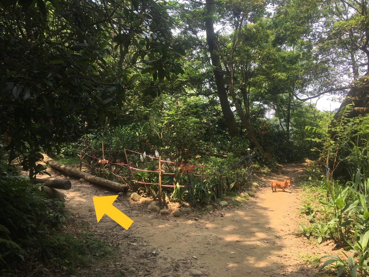
There’s also a cute little garden which had a few flowering lilies and orchids in the trees nearby.
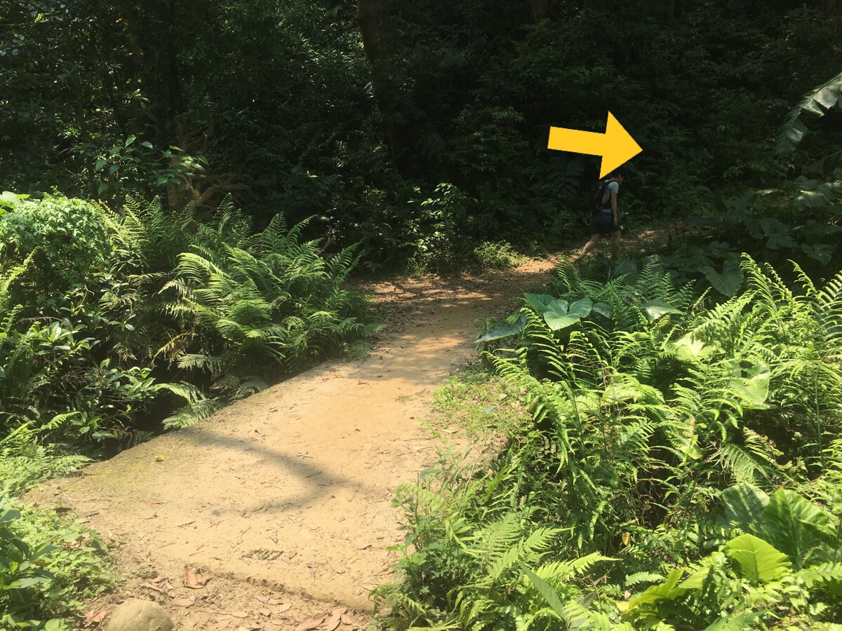
Along the last stretch there are a few paths to either side but the way back to the entrance is straight ahead.
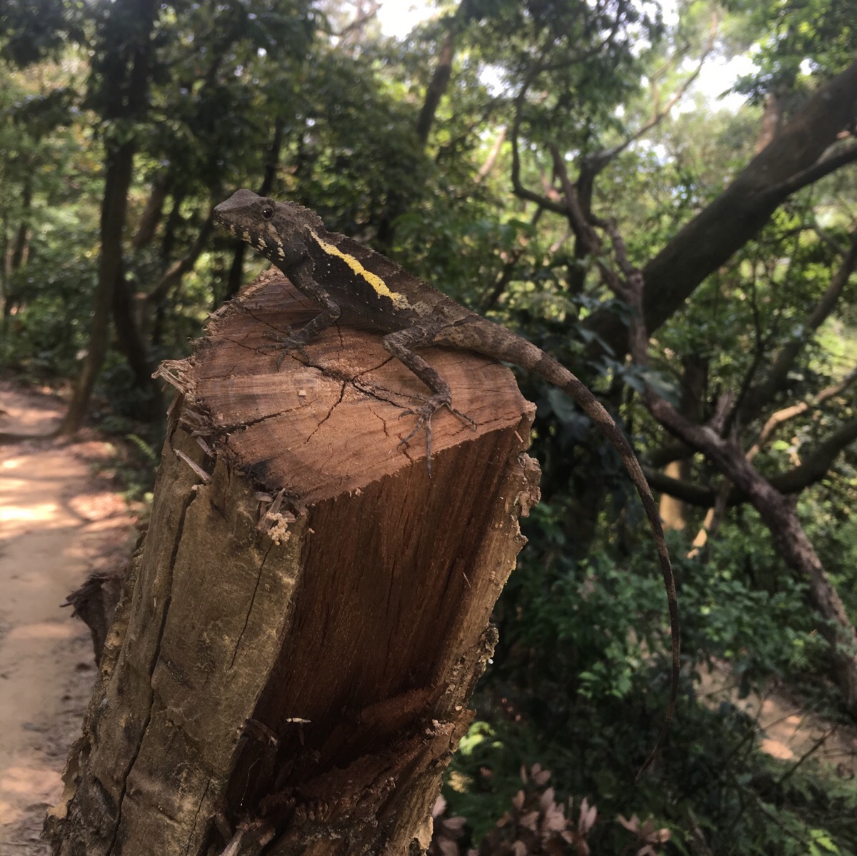
Just as we were about to finish we came across this obliging little lizard who posed post magnificently for a photograph.
How to get there:
Google maps address: Furen Trail, near Furen Road, Yangmei District, Taoyuan City, 326
GPS location: N24 53.748 E121 09.109
Public transport: it is possible to get here using public transport, you can get a local train to Yangmei from Taipei Main Station if you’re in Taipei or Taoyuan train station if you’re in Taoyuan. At Yangmei you might find you’re better off walking – there is a bus from Xin Cheng Yang Xin intersection, (the L610 t Yangmei Administrative Park), but it seems to take longer than the 30-40 minutes that it would take to walk.
My new words learnt on this hike were:
- 優秀 / yōuxiù / perfect or excellent
- 空空的 / kōngkōng de / empty
- 傻眼 / shǎyǎn / shocked or stunned – as far as my language assistant can explain, this is used primarily to describe one’s feelings or reactions to something. As in 我的狗一直吃大便讓我很傻眼 – my dog keeps eating poo, it makes me shocked.
