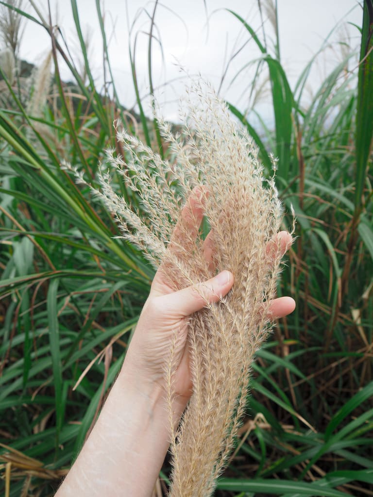
Benshan Geological Park is actually the remnants of an old open cast mine. In recent years, it has become a somewhat unlikely Instagram hotspot, and it’s one of those places that I’ve wandered near to or past numerous times without ever having properly paused to explore it in detail — so, here is a post to rectify that omission. Visiting the geo park and seeing the silvergrass-covered slopes were the main purposes of my trip, but in fact, this walk has plenty more to offer than this. Along the way, you’ll encounter the ruins of Shinto shrine, and if you have an extra hour or two, it’s certainly worth allowing a little extra time for a perambulation around the hilly town of Jinguashi.
Distance: The route I took was about 5.5 kilometres, but you could cut corners and do a shorter 3.1-kilometre version of the walk
Time: 2- 3 hours for the full route covered here, or 1½ – 2 hours for the shorter route.
Total ascent: A little under 400 metres.
Difficulty (regular Taiwan hiker): 3-4/10 – This walk is very straightforward in a navigational sense, but the steepness of the terrain plus the treacherously loose rocks on the descent put it on the harder end of easy.
Difficulty (new Taiwan hiker): 4/5 – For someone new to hiking in Taiwan, this walk would be moderately difficult for the reasons mentioned above.
Risks and dangers: Uneven and slippery terrain is probably the only real risk you’ll encounter on this walk. If you’re worried about ankles getting twisted, a hiking stick might come in handy.
Water: I took 0.5 and drank most of it on a cool day. There is a FamilyMart and a couple of water dispensers in the area around the Gold Museum, so you can stock up/fill up your bottle before setting off.
Shade: The majority of this walk is exposed, so if you go on a sunny day, be sure to take precautions.
Mobile network: Signal was weak to non-existent for parts of this walk.
Enjoyment: This is a pretty decadent half-day trip whenever you go. There are a couple of landmarks that are worth visiting year-round, and if you visit during the silvergrass season, you can also enjoy the beautiful gilded spectacle of the grass rippling in the breeze.
Jinguashi Silvergrass Season: Silvergrass season on Taiwan’s northeast coast is usually some time between late October and December.
Bathroom facilities: There are toilets at the start of the walk in the gold museum complex.
Route type: Loop
Permit: None needed
Jump to the bottom of this post for a trail map and GPX file.
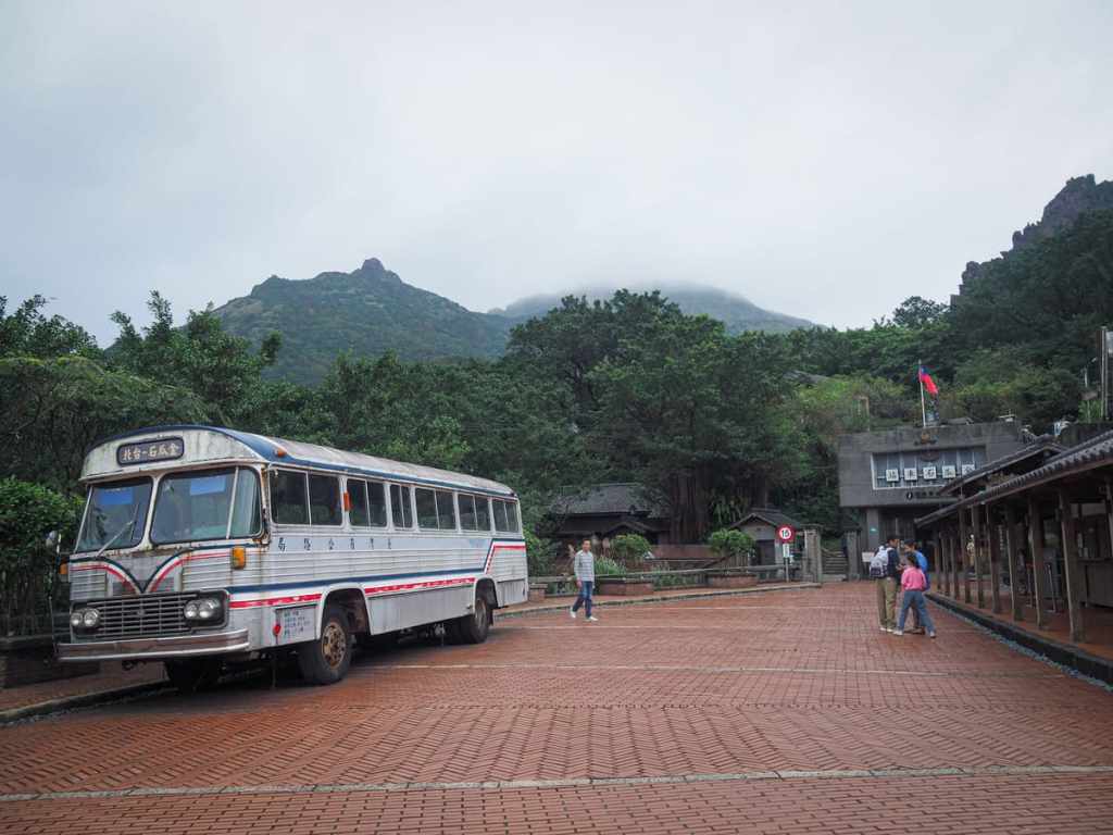
The bus drops you off right outside the entrance to Jinguashi Gold Museum. There’s a booth on the right selling tickets, but if you’re not planning on entering any of the museum’s indoor exhibits, you can just wander in without buying one. When you reach the Tourist Information Centre, hook a left and follow the flow of people past some of the old dormitory buildings.
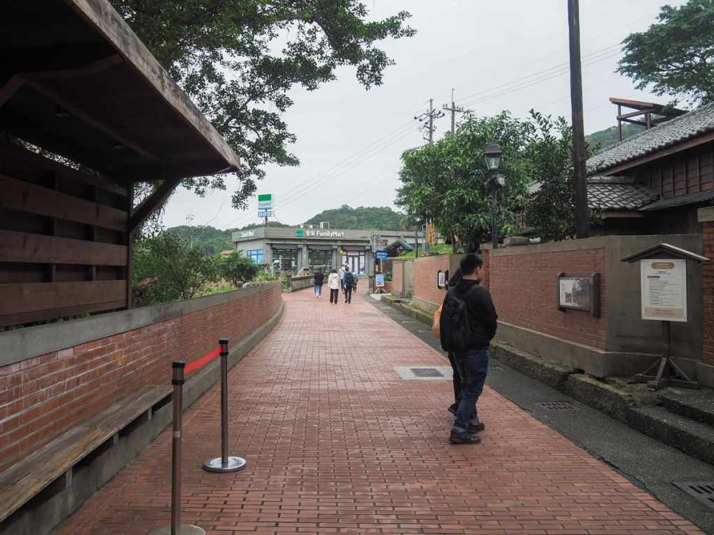
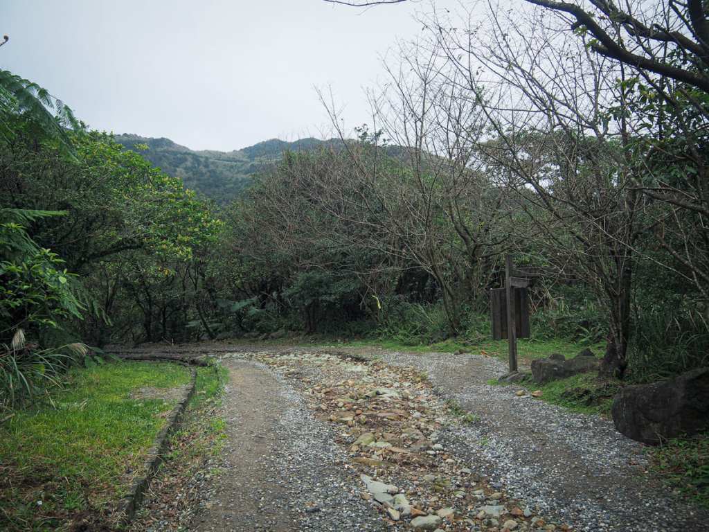
The roadway funnels you past a few cafes and restaurants (and a FamilyMart). There are toilets just to the left of the exhibition building’s front door, then follow the signs directing you towards the Shinto Shrine and Benshan Mine No.5.
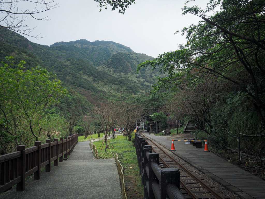
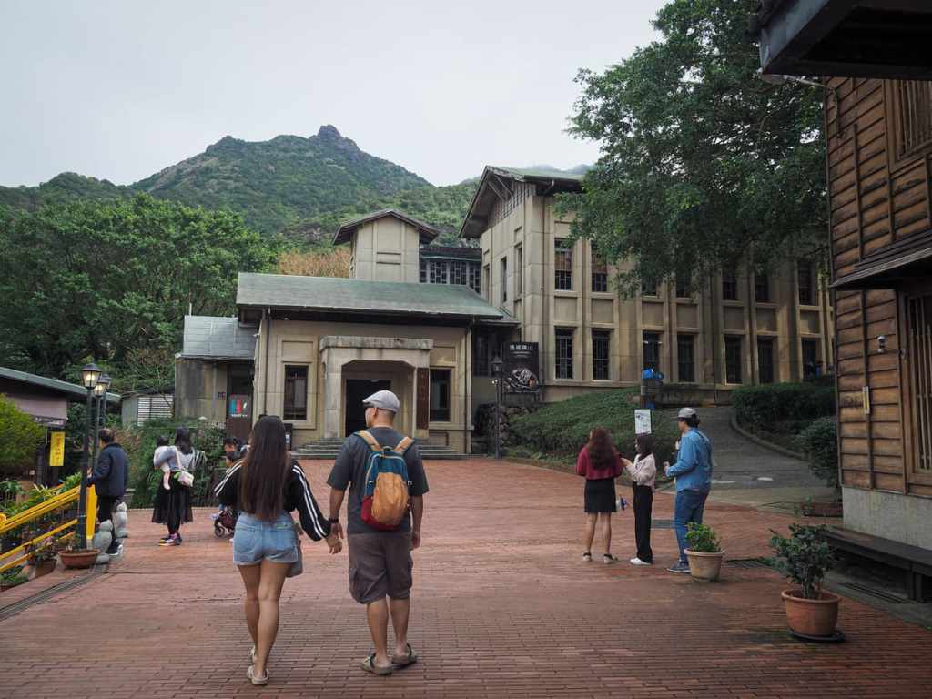
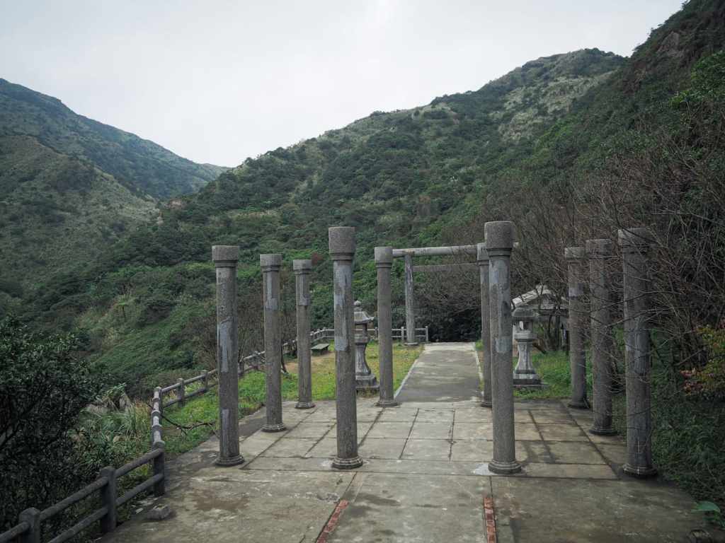
Just before you get to the museum buildings around Benshan Mine No. 5 there’s a flight of steps leading up on the right towards the old Shinto shrine.
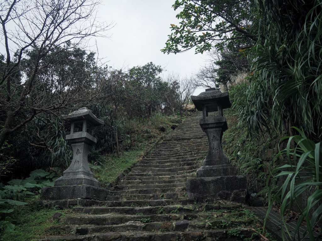
Concrete steps give way to older stone steps as the first toro lanterns come into view.
In a clearing on the right, just before you get to the turn-off for the remains of the shrine, what remains of one of the original stone archways. Look carefully at the ground as you make your way up the shrine steps and you can spot the place where it would have once stood.

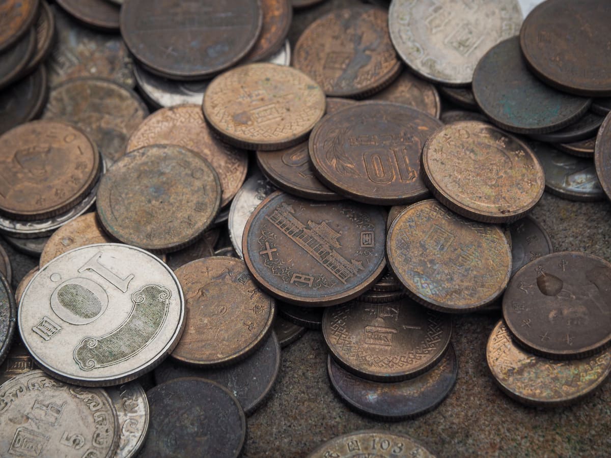
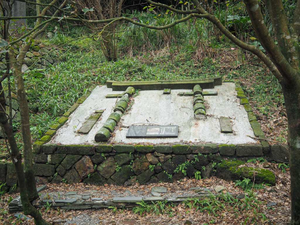
Ōgon Shrine (黄金神社) — as it was formerly known — was built 1933, when Taiwan was under Japanese control. At that time, Jinguashi went by the name Kinkaseki and was the prosperous centre of Taiwan’s gold mining industry. To ensure the area’s continued production of wealth, the Japanese authorities built this shrine and welcomed three kami or spirits to oversee the region’s mines. Those deities were Okunimushi no Mikoto (大国主命), a god of nation-building, farming, business and medicine, Sarutahiko no Mikoto (猿田彦命), the god responsible for roads, crossroads and travellers, and Kanayama hiko no Mikoto (金山彦命), who was seemingly responsible for something directly related to metals and metallurgy.
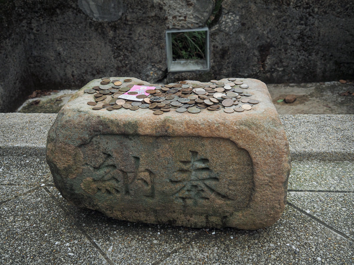
Back in the day, there were annual celebrations held here, but these days the temple is only visited by the more curious and athletic tourists who travel to Jinguashi. It’s clear that Japanese tourists in particular are drawn to the site, because aside from Taiwanese coins, the most common coins left as offerings are Japanese.
From the shrine, you can see where the path will take you next, and when you reach that section of steps, looking back gives you a bird’s eye view of the shrine.
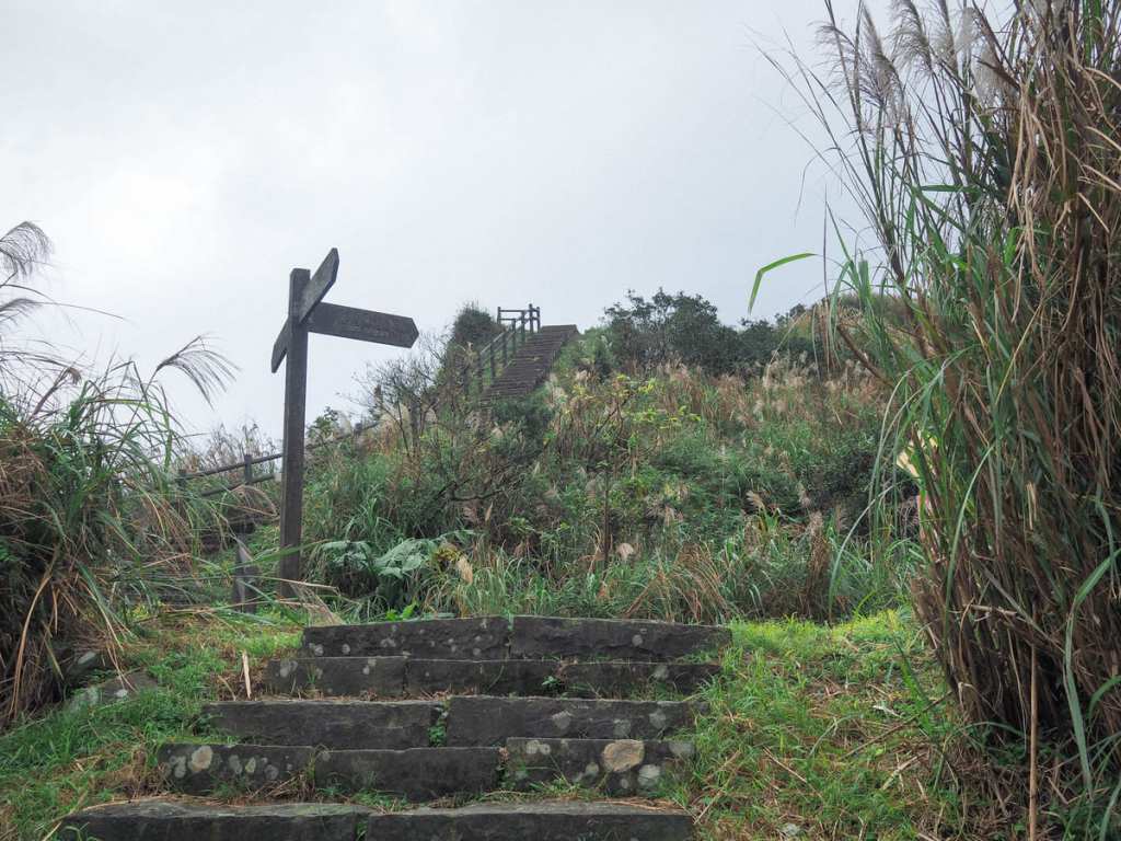
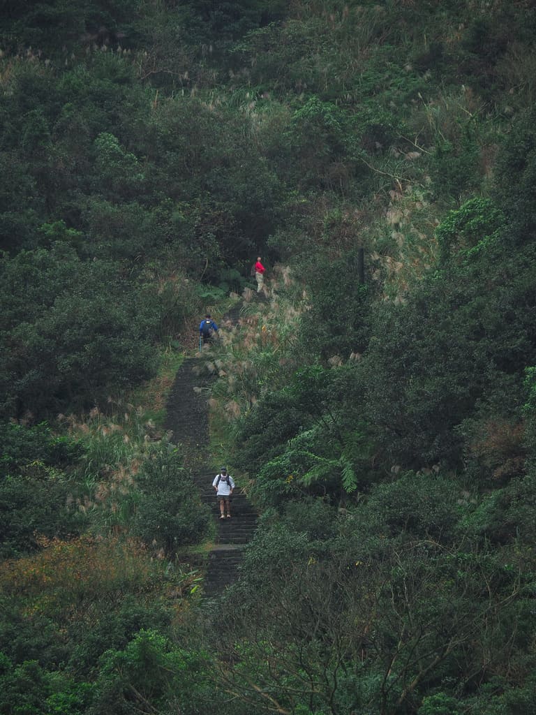
After a 15-minute climb, the path reaches a junction. If you want to do a shorter walk, you can turn right here, but I still had energy, so I continue to head upwards.
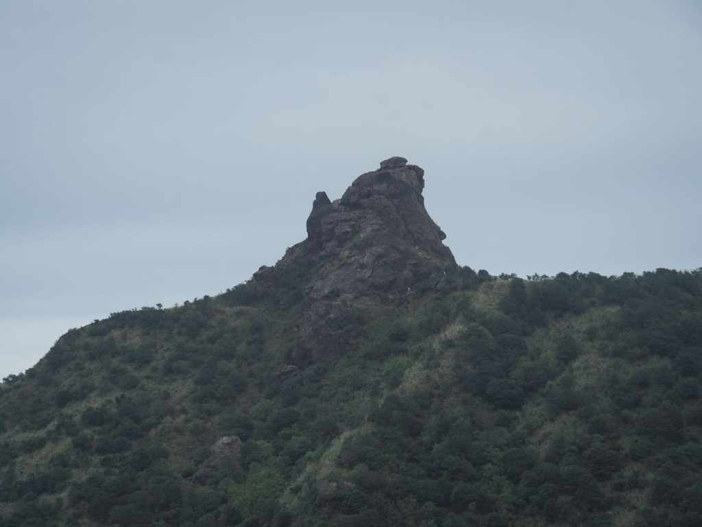
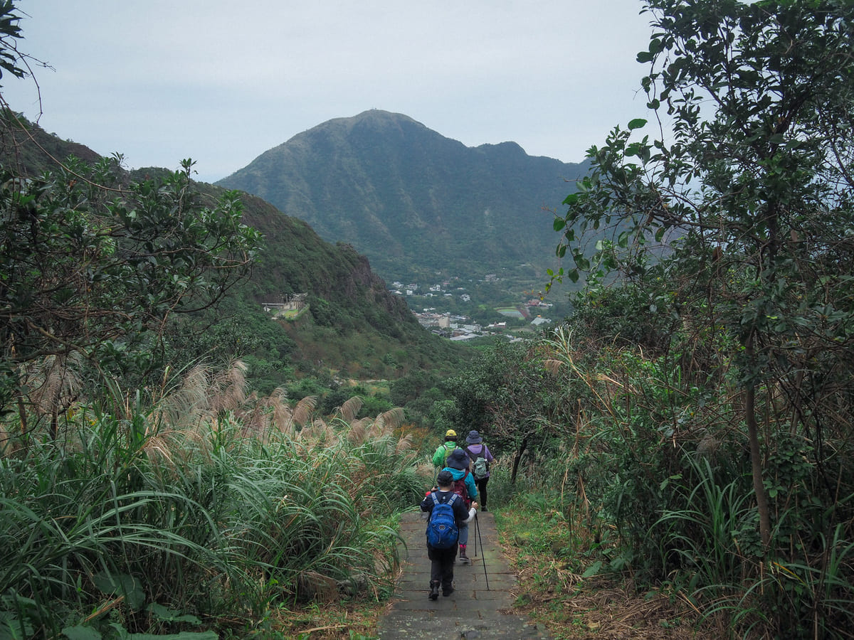
As you climb, the unmistakable profile of Teapot Mountain looks about as teapoty as it ever gets. When I was walking this trail, Teapot Mountain was meant to be closed following a landslide, but I could clearly make out a handful of intrepid hikers scaling it via an alternative route.

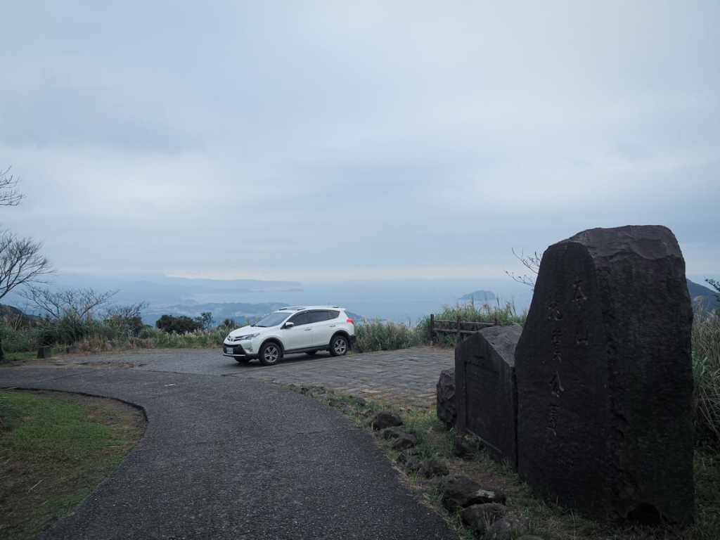
The further up you go, the more spectacular the views, then when you hit Caoshan Defense Road, take a right and follow it as far as the next junction (hidden behind the car here). Turn right down the track.
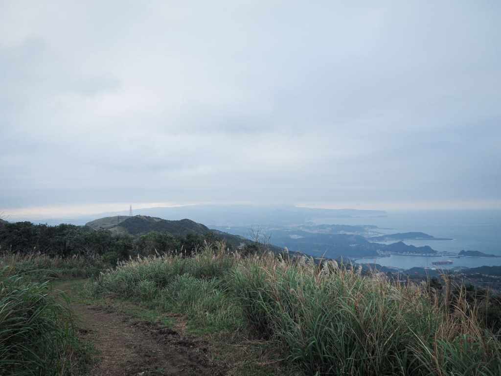
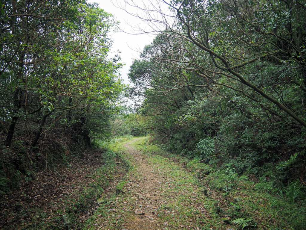
A wide, flat path zigzags gently down the hill.
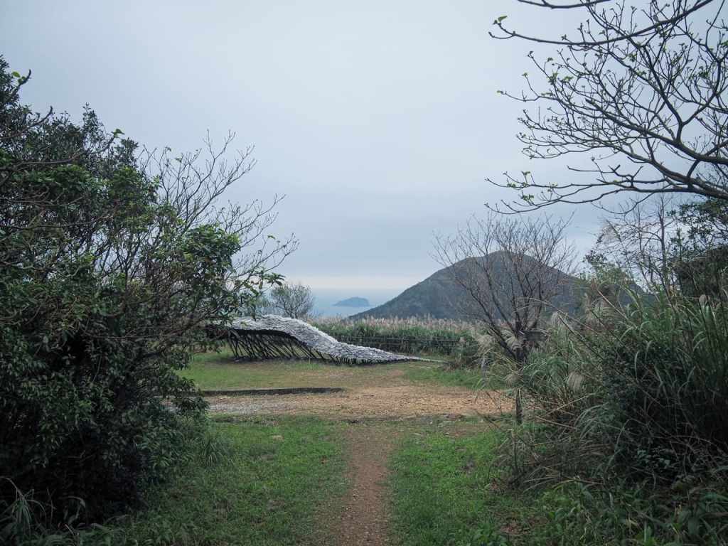
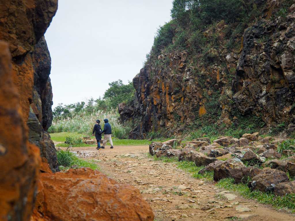
At the next junction, the route back to the gold museum is on the left, but I’d strongly recommend taking a detour to see the old open cast mine that is all that remains of Benshan Mines 1, 2 and 3.

The excavation extends deep into the hill’s flank, with the furthest end being slightly raised so that it’s possible to get a nice view looking out towards the coast.
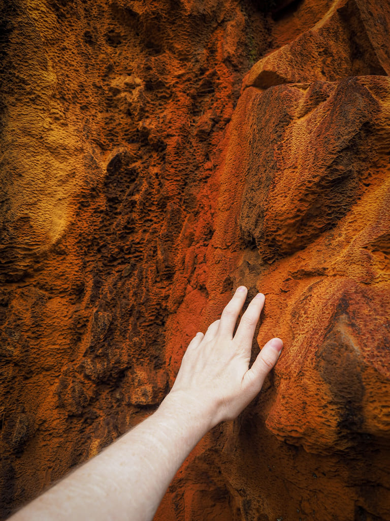
One patch of the mine’s walls is stained with bright orange mineral deposits.

Leaving the mining remnants behind, I returned to the track I’d been following downhill, then took the next right (signposted as heading to the gold museum).
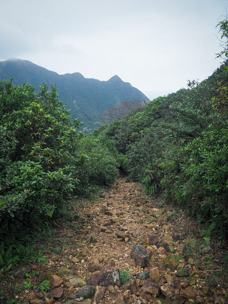
This part is the hardest section of the whole walk. Loose rocks and gravel cover the path, making every step an opportunity for slipping or twisting an ankle and in parts, heavy rains have scoured deep, hard-to-navigate channels.
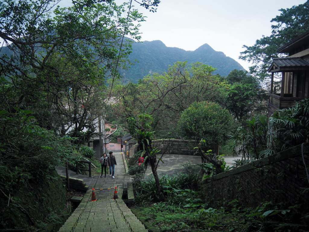
As the walk starts to approach its conclusion, I found myself walking down through abandoned structures that must have been part of the old mining village. Peering into the undergrowth, you can see concrete walls and the detritus of forgotten lives. And then very quickly, the path spits you out right by the Tourist Information Centre and the bus stop.
How to get to Benshan Geo Park
Google Maps address: The walk starts and finishes from Jinguashi Gold Ecological Park. If you’re travelling with your own transport, there is a carpark right next to the trailhead, but it’s pretty small, so I wouldn’t advise driving here on weekends.
GPS location: N25 06.500 E121 51.360
Public transport: The 1062 shuttles between Taipei and Jinguashi Gold Eco Park a couple of times an hour. You can catch the bus from Zhongxiao Fuxing MRT station and Songshan station.
Further reading: There’s a bit of interesting info about this area on Tom Rook’s website.
Nearby trails:
- Jinguashi Aqueduct Trail
- Mount Banping
- Mount Keelung
- Stegosaurus Ridge
- Tamsui Kavalan Trails — Mudan Loop
- Tamsui Kavalan Trails — Ruifang to Fulong
- Teapot Mountain
Benshan Geo Park Trail Map

GPX file available here on Outdoor Active. (Account needed, but the free one works just fine.)
