This odd little loop in New Taipei’s Pingxi District is one that I’ve had my eye on for the longest time. Not only do the places have such evocative names, but the pictures I’d seen made it look like a thrilling mix of climbing, views, and old mining remains. As things transpired, it was all of that, plus it was just short enough that we finished early enough to enjoy a coffee at a nearby coffee shop once we had finished. It really was a great walk.
Distance: 7.3 kilometres with options to do an extended version taking in Shulang Peak (薯榔尖).
Time: It took us 5 hours at a slow pace with lots of stops.
Total ascent: About 450 metres to a high point of 520 metres.
Difficulty (regular Taiwan hiker): 5-6/10 – For a regular Taiwan hiker, I would say this is a moderately challenging hike. The walk constantly demands your full attention and requires the use of both arms and legs in order to haul yourself up the steepest sections.
Difficulty (new Taiwan hiker): 8-9/10 – This walk would present a serious challenge to someone not used to hiking in Taiwan’s dense low-elevation forests. If you’re unfamiliar with Tawain’s trails but still fancy a challenge, the nearby Pingxi Crags present a better choice.
Risks and dangers: This hike isn’t one to be attempted solo or if rain is forecast. It’s not crazy dangerous, but there are some real risks. There are lots of slippery sections, some areas with steep drops on one side of the path, it’s so remote that you’re likely to have the trail to yourself, and there’s a good chance of encountering a leech or two. We also crossed one wooden bridge that looked like it’s just another year or two away from giving out completely.
Water: I took 1L and drank all of it. We also took food supplies (fruit, tofu, nuts) and snacked on them throughout the walk. Salt candy would be a good addition to your snack kit in warm weather. It should be possible to buy provisions in Jingtong before you start your walk.
Shade: The walk if pretty shady for most of the way, but had it been sunny, I would have wanted a hat still.
Mobile network: We had no mobile coverage for most of this walk.
Enjoyment: I loved this walk. It was not too long, not too short, and had the right mix of challenging to enjoyable. However, you should save it for a day when you fancy a challenge. This isn’t a casual walk-in-the-park type of walk.
Other: Gloves are essential, as are long trousers. Personally, I wouldn’t want my arms uncovered either, but both my companions hiked in short sleeves. If I were to do this walk again, I’d wear wellies. They are more grippy and can provide an additional layer of defense against the threat of leeches.
Bathroom facilities: There are toilets in Jingtong.
Route type: Loop
Permit: None needed
Jump to the bottom of this post for a trail map and GPX file.
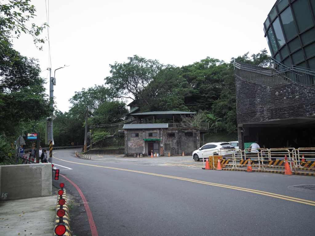
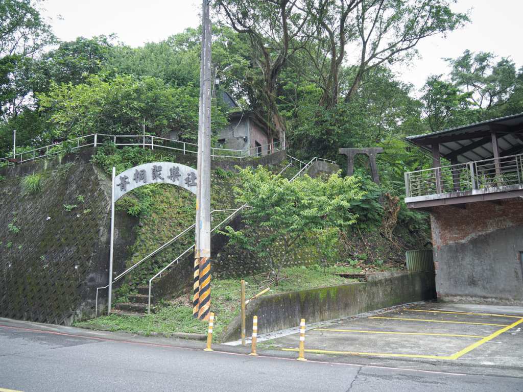
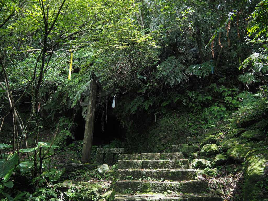
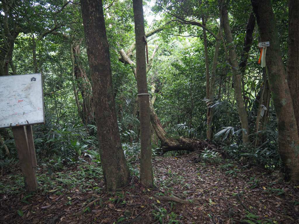
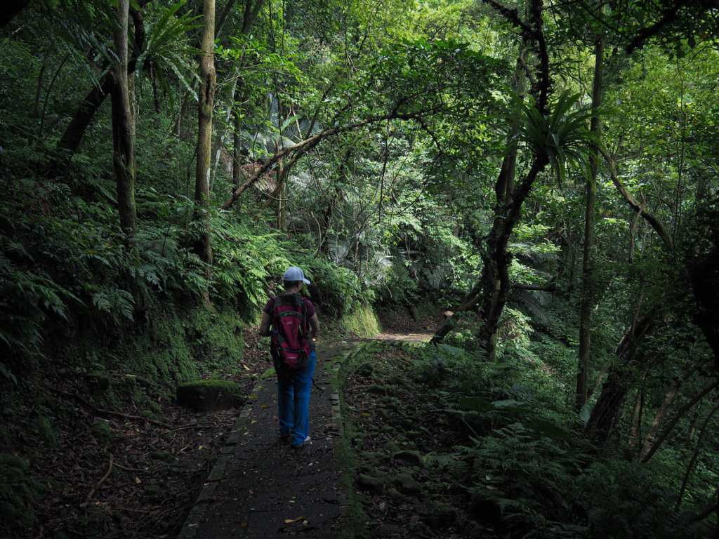
09:20 – Starting from the village of Jingtong, head past the lantern-shaped former police station and head up the steps through an archway bearing “菁桐聚樂社” (Jingtong Jule Association). The association was established in the mining era by and for mine workers who were interested in learning traditional performances. It’s since been merged with the branch in Pingxi, and attendees still perform at temple fair and other such events. Turn right at the top of the steps.
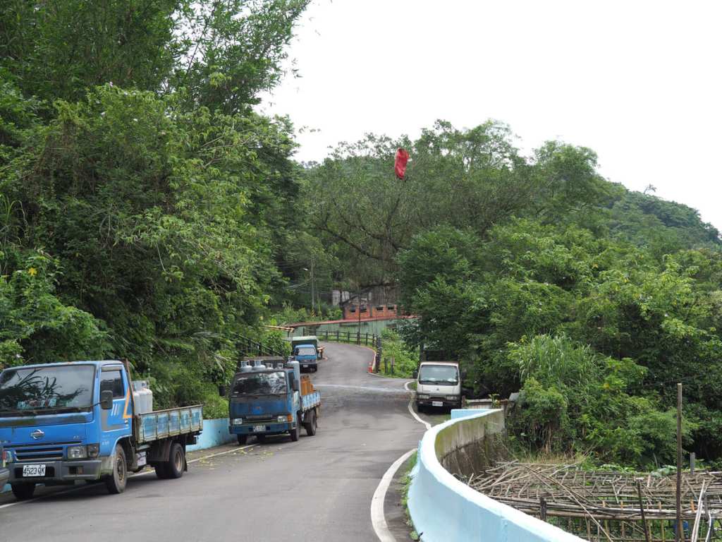
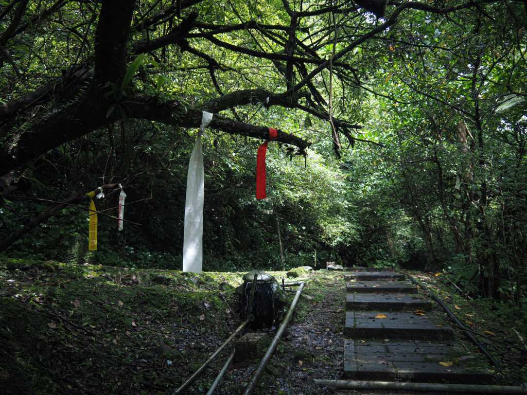
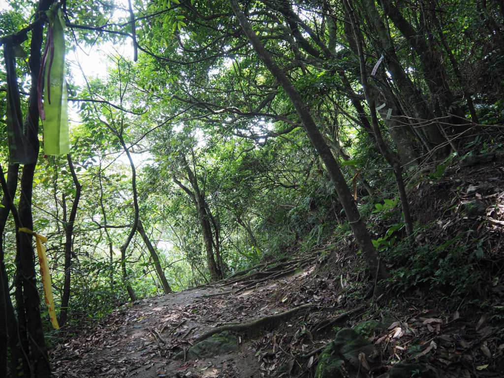
This being Pingxi District, lanterns caught in trees were a common feature of the walk. Just beyond where this red one is hanging, the path takes a sharp left and doubles back up a track that’s signposted as going to Devil’s Cave and a couple of other places.
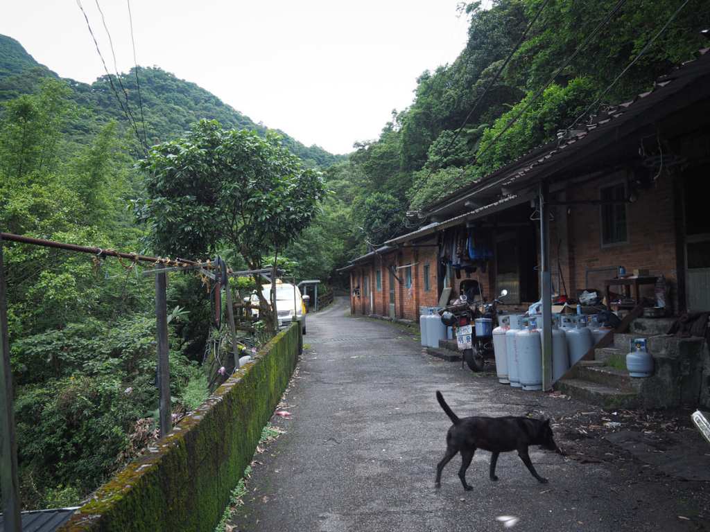
09:29 – The track heads up past a row of low red-brick cottages, and this dog came barreling out of one of them barking up a storm. After a little communication, we established that we could all get along nicely, and the dog then accompanied us all the way to the end of the road—emptying an improbable amount of pee on walls, scooter tyres and fence posts as he went.
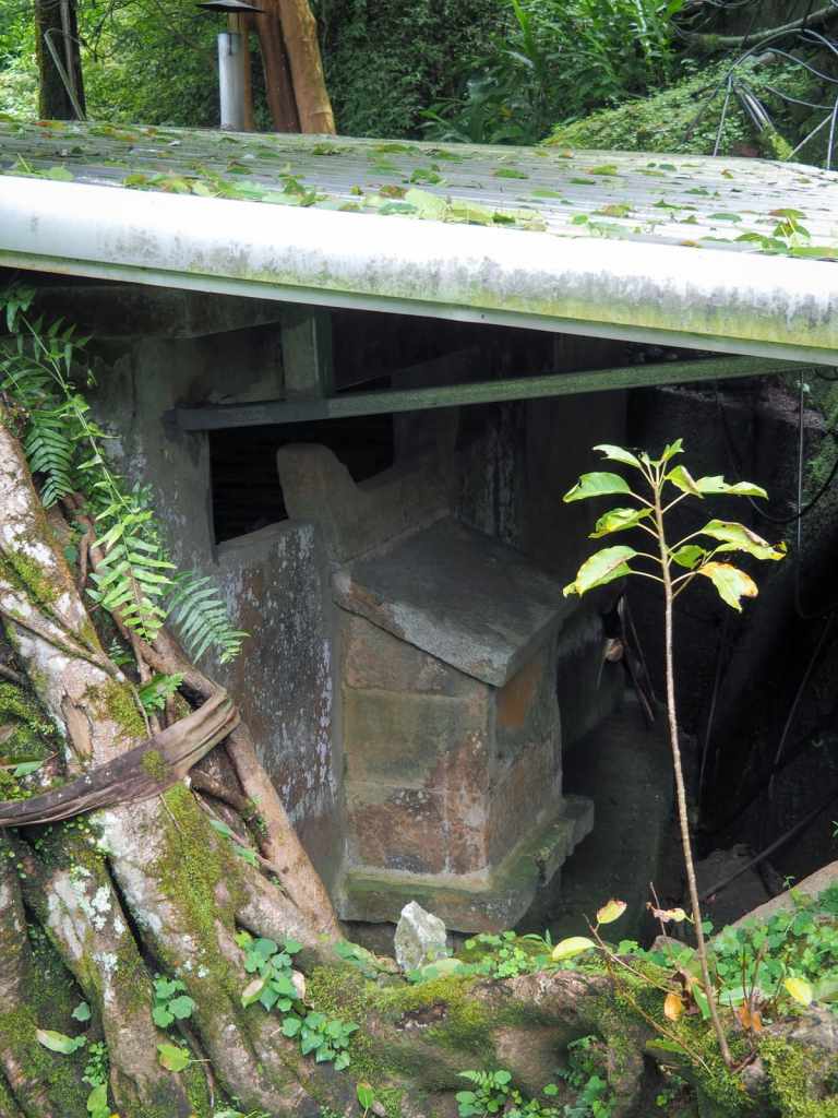
Not far past the houses, I glanced down to the left of the path and saw this temple seemingly suspensed mid-wall.
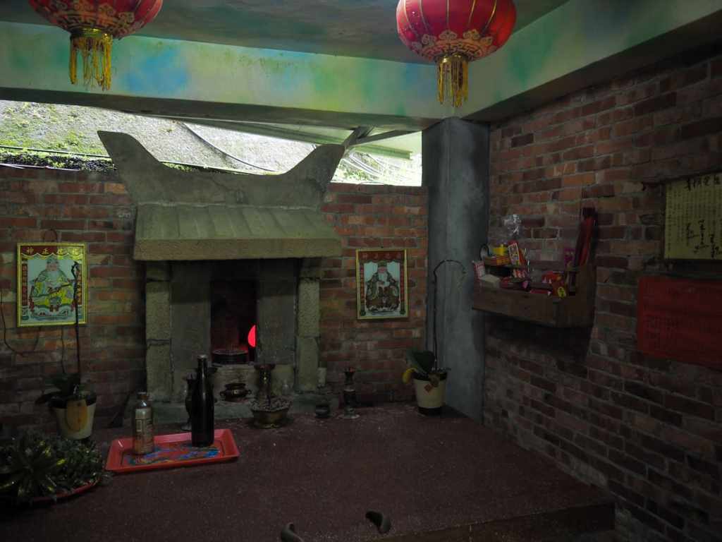
Heading down a short flight of steps to invstigate, I found a Tudi Gong shrine that had been built into a brick wall that now forms a larger covered space around the temple. It’s a very odd configuration—one that almost certainly has a story waiting to be uncovered.
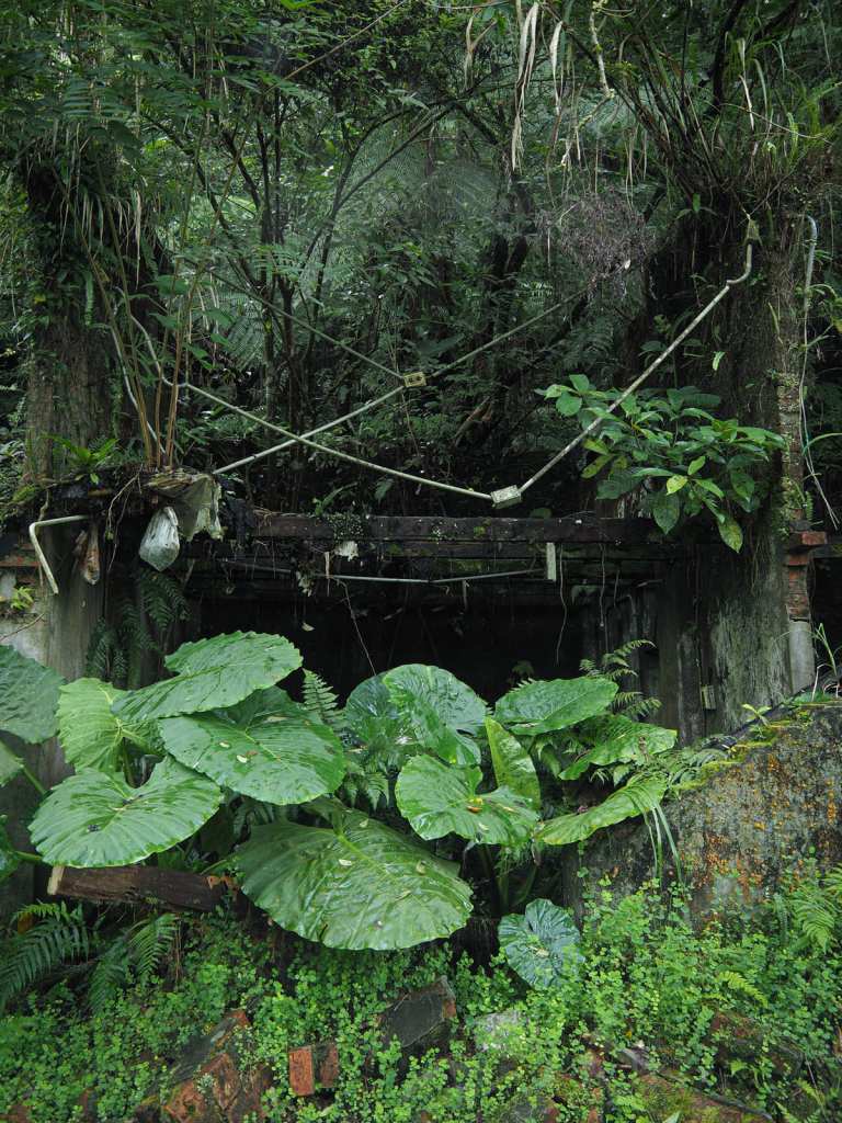
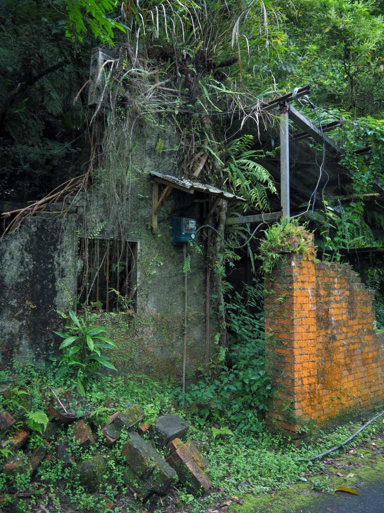
The greenery beside the track half-hid semi-collapsed buildings, some still furnished with personal belongings like a kid’s bike or a badminton racket.
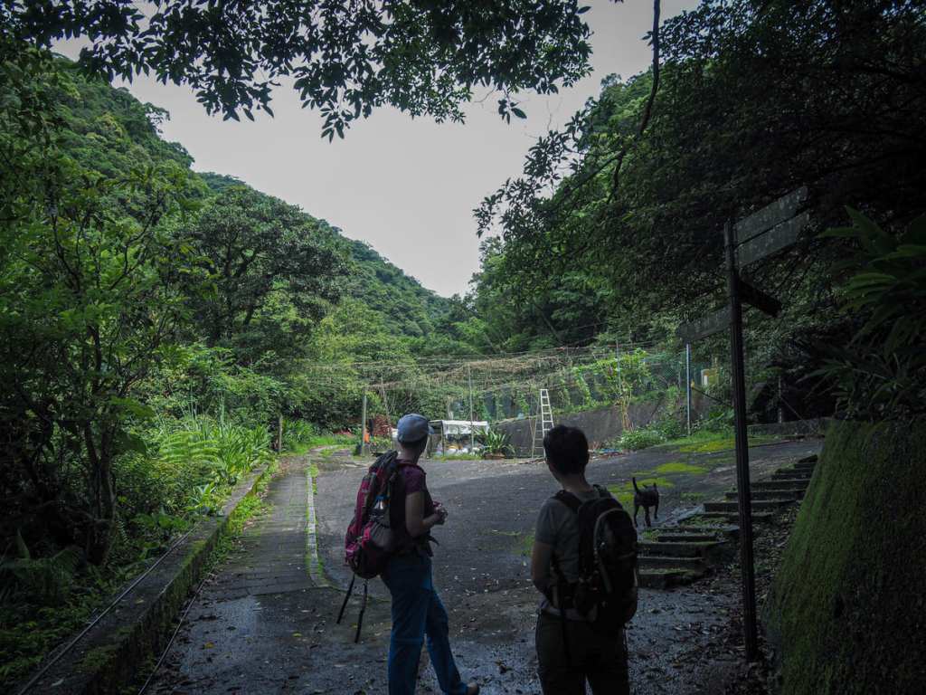
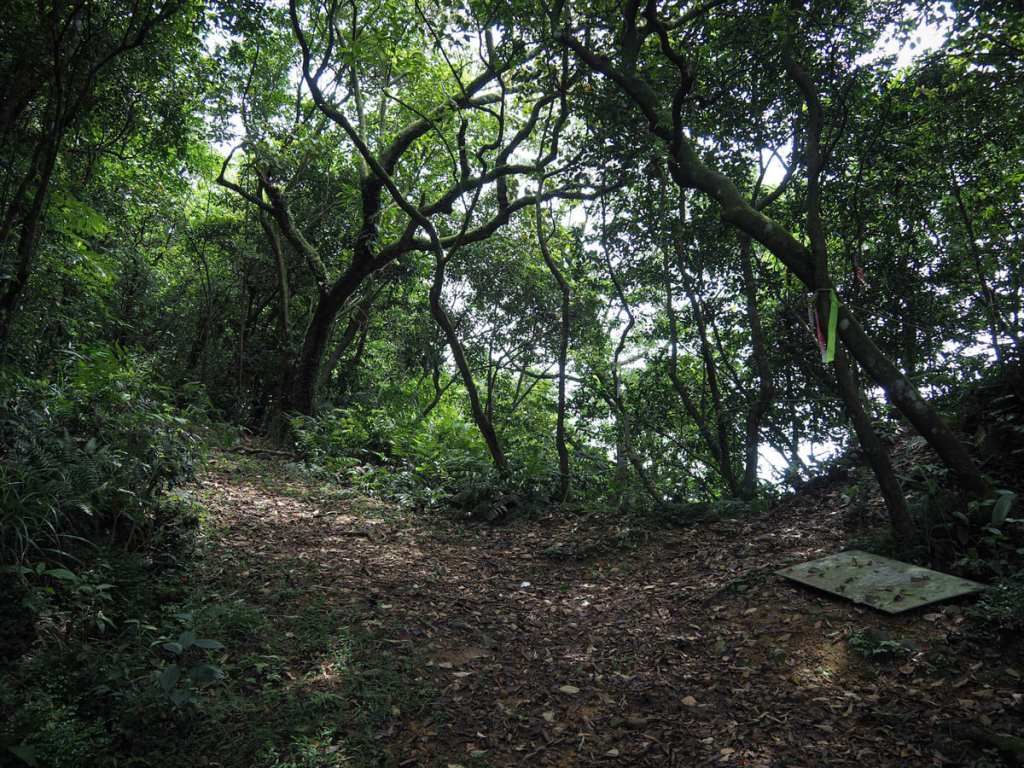
09:40 – If you follow the road until it ends, you’ll arrive here. The path splits in two directions. We took the lefthand path and would later return via the steps on the right. This is where our canine companion decided to leave us.
Steps lead down to an odd bridge. I say odd because it was basically just concrete squares atop concrete poles, but with gaps in between. I don’t think I’ve come across one designed in this way before.
09:44 – From the river, the path climbs up to a junction. We headed straigh/right here. (Going left would take you to Shulang Peak.)
The barricaded entrance to an old mine shaft—one of many that are scattered throughout the area.
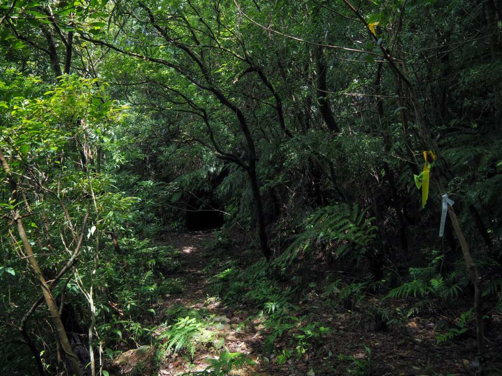
09:57 – After climbing up steps for about ten minutes, we reached a junction. If you are feeling adventurous, take a left and head up to the eastern entrance of Devil’s Cave, aka Mô-Xîn-Á Cave. If you’re not into walking through tunnels, just head right.
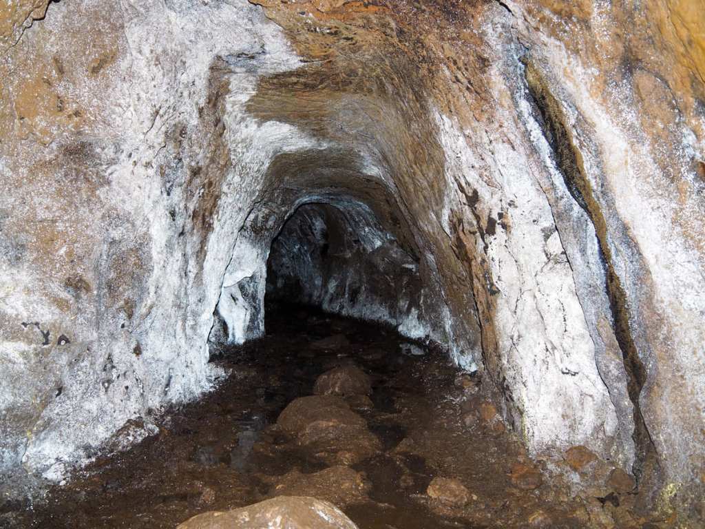
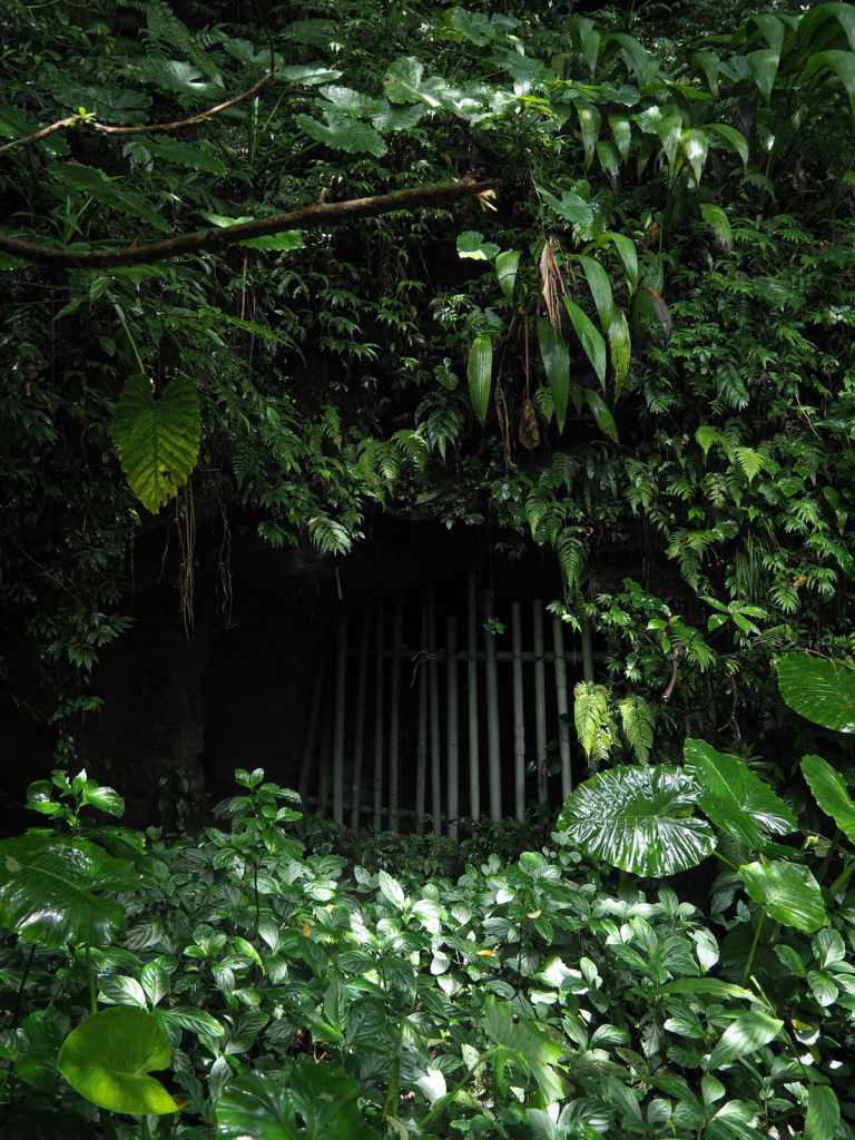
After a brief scramble, the path arrives at a clearing in front of Devil’s Cave. Once here, it becomes clear that the cave is, in actual fact, the remnants of an old mining tunnel. I’ve gone with the translation of “Devil’s Cave” because it makes more sense to an English-speaking audience, but I prefer the Romanised transliteration of Taiwanese, “Mô-Xîn-Á Cave”. In Taiwanese folklore, the mô-xîn-á is a type of amoral sprite that inhabits the forests and wild spaces. They’re more trickster than genuinely evil and are believed to enjoy leading people astray, so it makes perfect sense that they would inhabit such a spot.
The tunnel is just short enough that even a not-so-intrepid explorer can dare to venture through, and just long and twisty enough to appear dark from either entrance—giving the illusion that anyone rounding the bend could be entering an alternative world. It heads in for a few metres before rounding a corner, and as soon as you reach that point, you can see the exit—both tunnel mouths are equidistant from the bend. The cave’s floor is also extremely boggy. Hikers have placed stones and logs in the middle of the mud, but unless you’re wearing wellies, you’re going to get mucky.
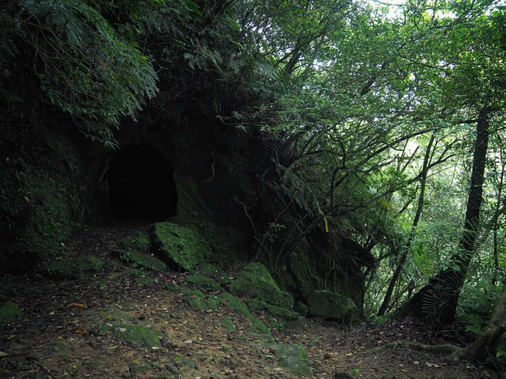
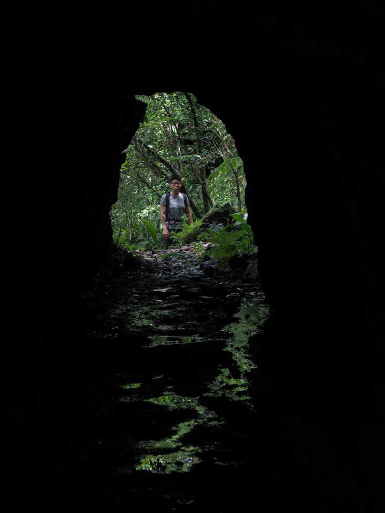
This photo is taken looking back at the longer tunnel and is where the easier righthand route (from the 09:57 photo) leads you to.
There’s a second, shorter tunnel here, but this one doesn’t lead anywhere.
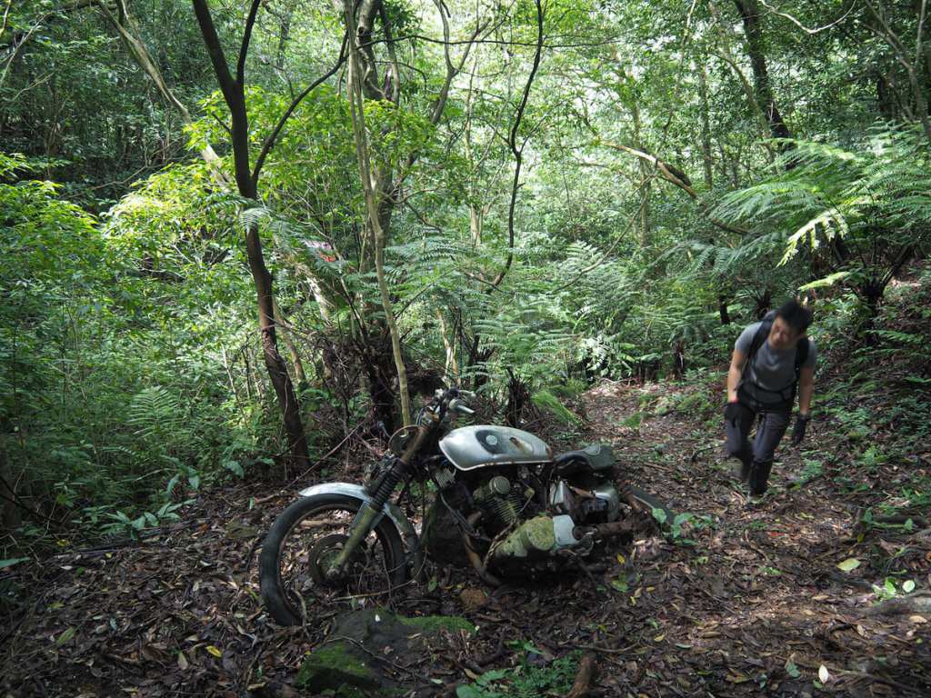
From the clearing between the two tunnels, a path leads upwards. We came across this old yelang bike mouldering in a seemingly very strange location. However, after walking a little further, it seemed like maybe there could have been more of a track in the past, albeit not one that I would have been keen to traverse on two wheels.
10:32 – At the next junction, keep left and stick with the easier route for a little longer. (The one on the right is a much shorter route to Stone Bamboo Shoot Peak.) A short distance further, there’s another junction where you need to bear right (the route on the left is marked as a dead end).
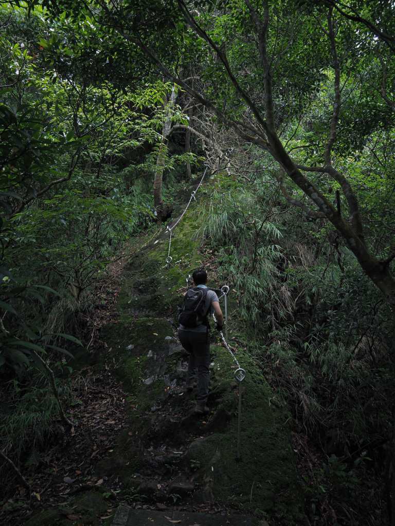
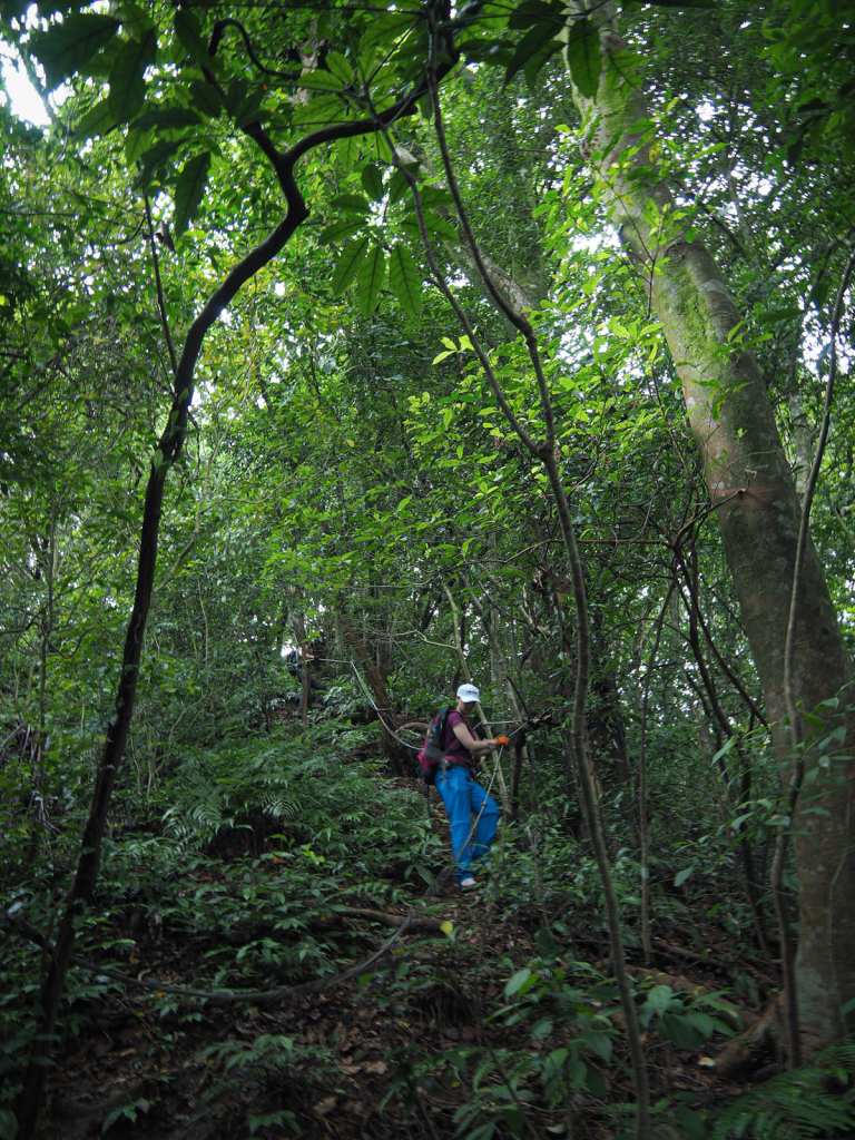
10:40 – At this junction, take a right. From here, the going gets trickier.
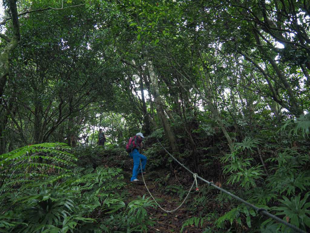
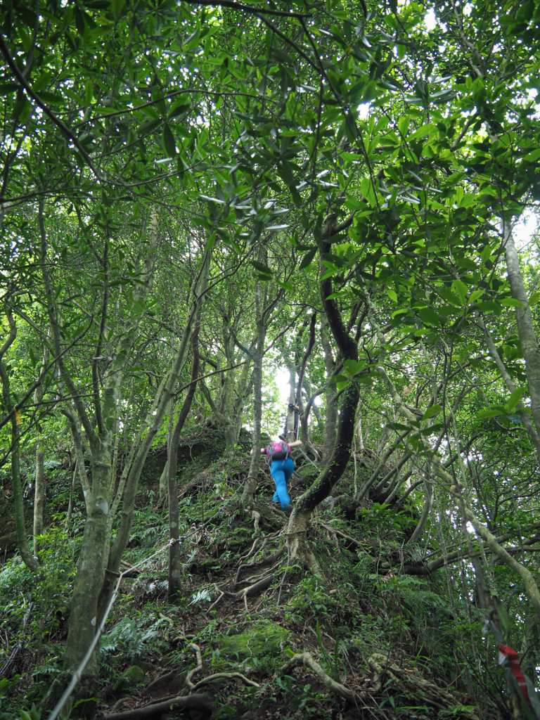
The broad path of earlier is replaced by a steep and fern-fringed thread of a trail that must be traversed slowly and carefully with ropes. At one point, a tree I grabbed gave way under the pressure of my weight. Luckily, I hadn’t fully entrusted my weight to it, and I was able to recalibrate before slipping, but I’m glad it happened on the descent because it would likely have fallen on me had it happened when climbing uphill.
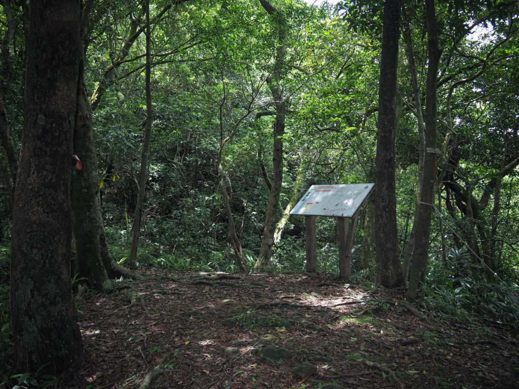
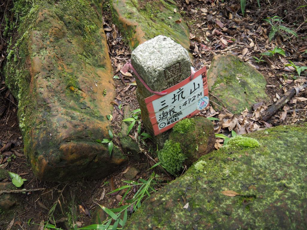
11:03 – Another map marks the point at which the path splits. To the left is a short (100 metres, 7 minues) detour up to the summit of Sankeng Mountain, while the trail on the right is where the loop continues. We decided to head up to the peak and take a break before continuing on our way.
One of the trees beside the trail was home to a community of busy bees. They would have been easy to miss, except their approach path intersected with the trail. One flew straight into my face as we crossed paths.
Despite being just 100 metres from the junction, the steepness of the ascent to the summit made the going slow.
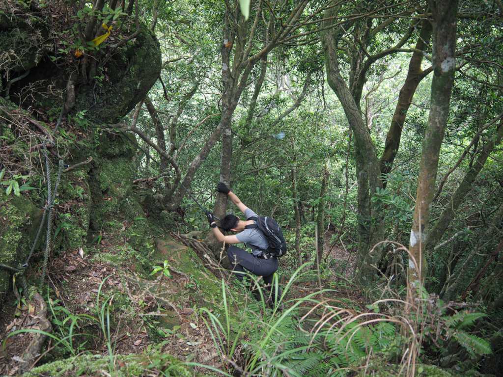
The final section in particular was challenging and required a little bit of shimmying and lots of armwork. On the peak, there was just enough room for the three of us to sit, but it would have been quite crowded if there were many more.
We headed down after a snack, and on the way, we got out first glimpse of the bamboo shoot. (The actual peak is the taller one obscured by trees to the right of the frame.)
11:35 – Back at the junction (from the 11:03 photo), we took a left and headed downhill.
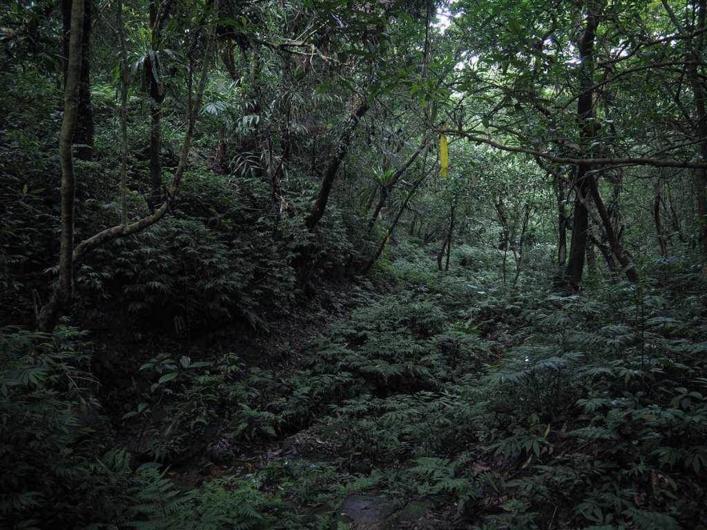
It was steep, slippery and gloomy. As we descended, we found ourselves walking alongside a creek, the water providing much-appreciated cool air to the day’s muggy heat.
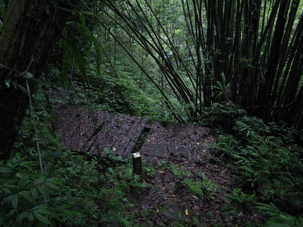
A series of wooden bridges had been built, the last of which felt decidedly sketchy. On the far side of this bridge, the path squeezes through a narrow trail cut into the rockface and hemmed in by a metal railing.
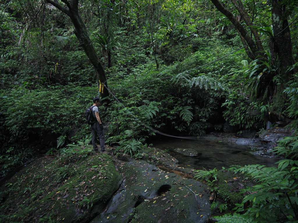
12:07 – Keep an eye out for this path on the right that cuts across the waterway. Both my companions decided to take a dip in the water here to ward off the heat and wash away some of the grime.
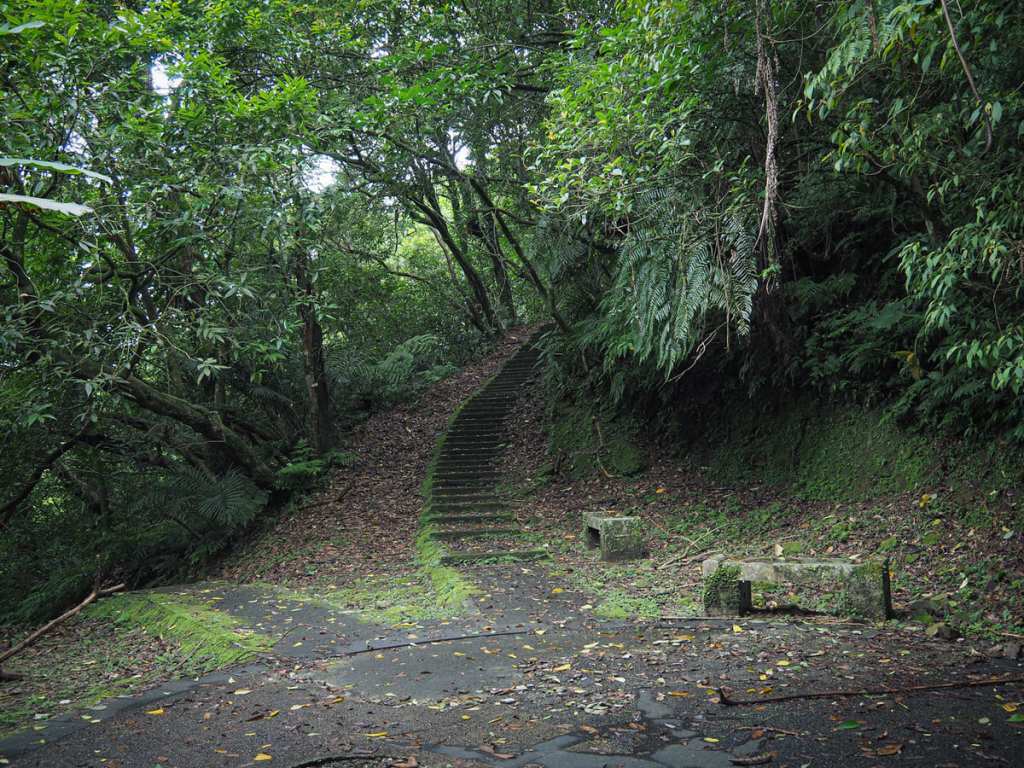
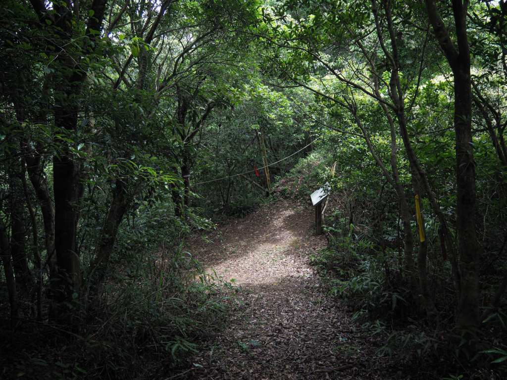
12:26 – A short while later, we were back on track, and not far from the stream crossing, we arrived at this junction. If you’ve had enough, you can head left and take the steps down to Jingtong, but if you’re determined to see the peak, head straight up the steps.
The steps give way to a rocky scramble with occasional views. This stretch is also quite slippery.
12:57 – At the next junction, it’s another short detour—this time to the right—to reach the summit of Stone Bamboo Shoot Peak. The final push is a real scramble, and we were all feeling exceedingly tired by this point.
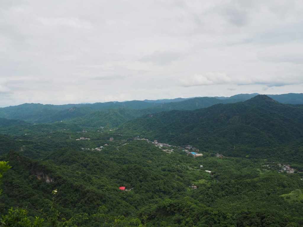
The views aren’t really done justice by the photos. Suffice to say, they’re nearly 360° and rather dramatic. This photo is looking down towards the town of Pingxi. Glancing right from here, the weather station on top of Mount Wufen can be seen.
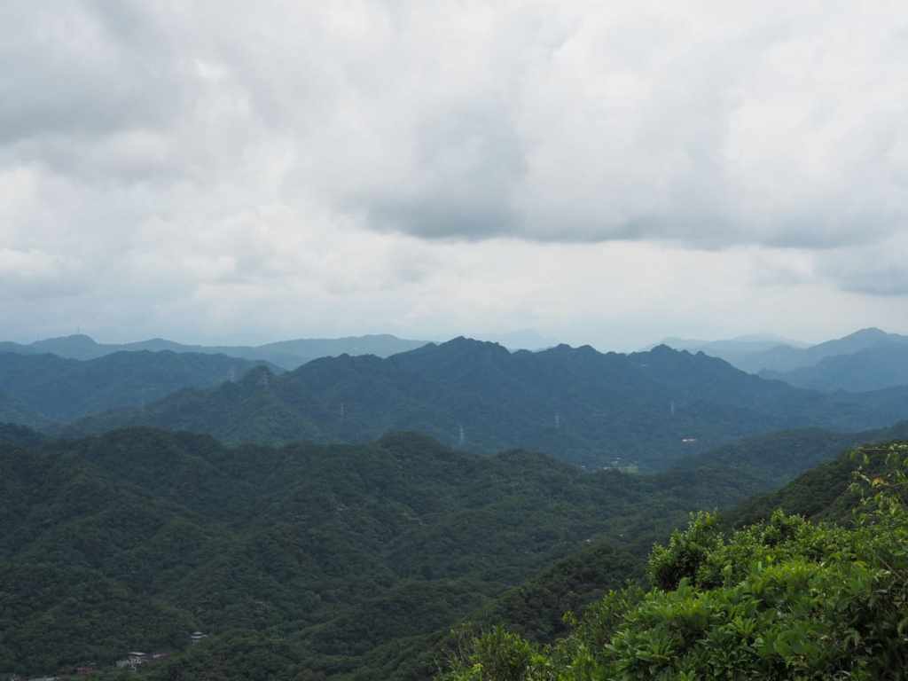
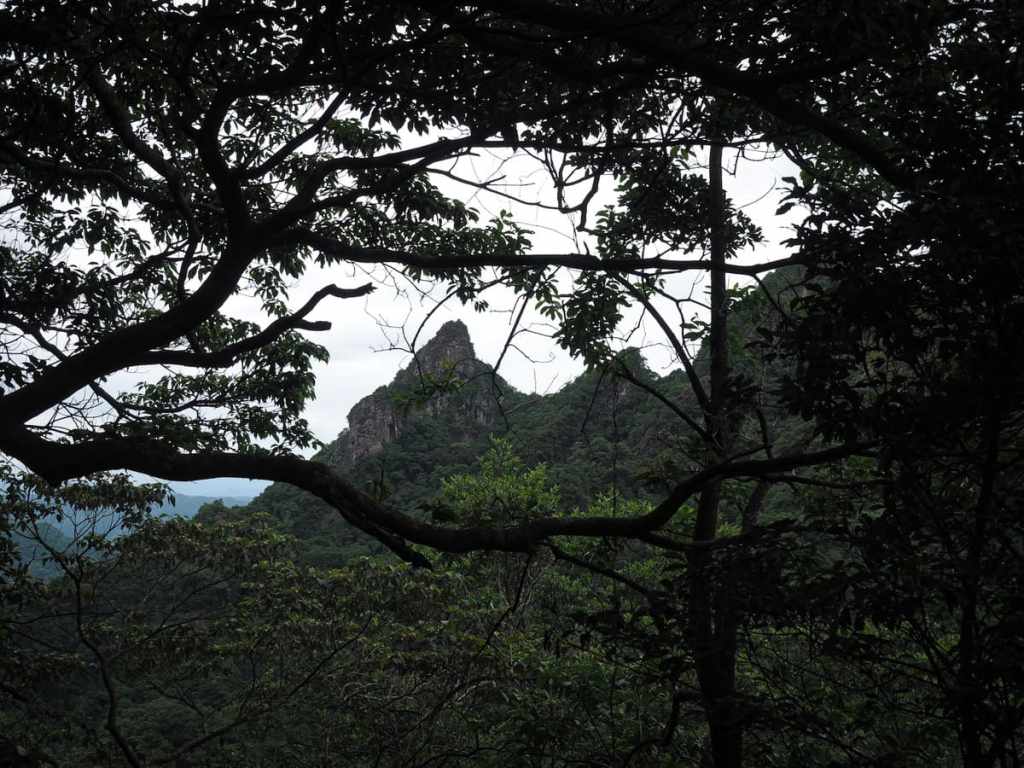
The unmistakable wiggling ridge of Huangdidian.
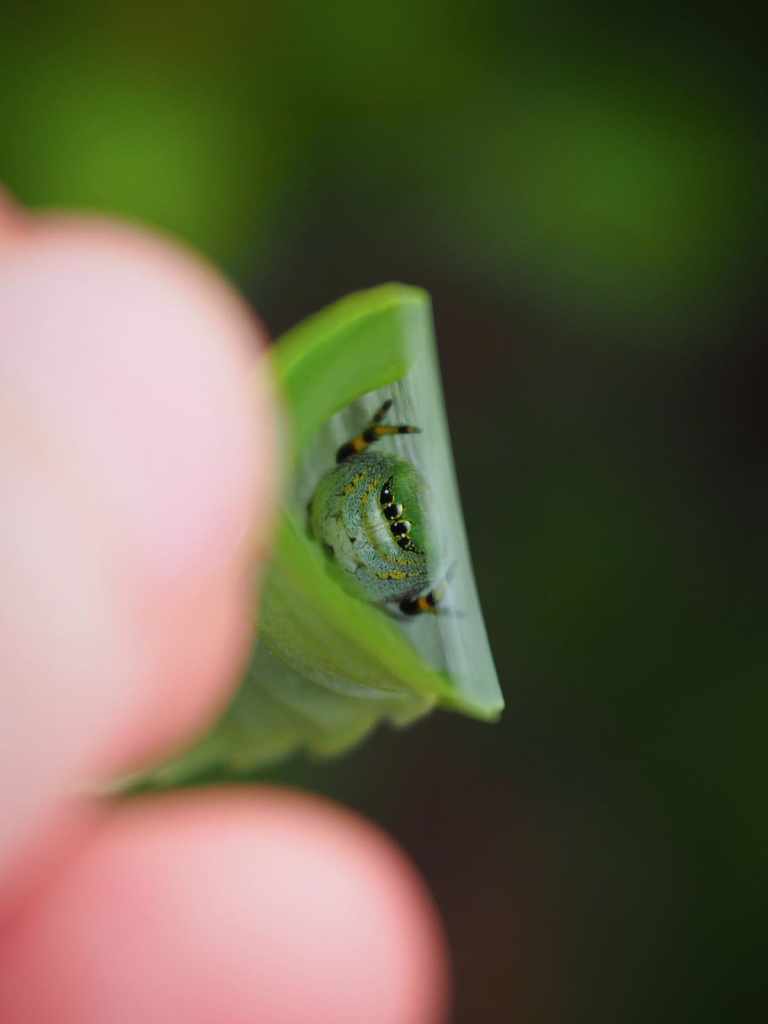
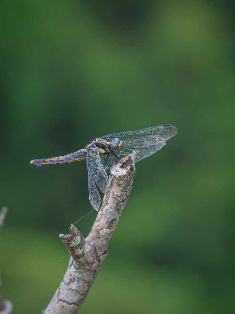
Cool bugs that we encountered at the peak. Not pictured (and far less cool) was a leech that was caught just before it got purchase on K’s thumb. Gently rolling it between my finger and thumb, I managed to get one end to detach, but as soon as I did, the other end would latch one. Those fuckers are persistently sticky. Luckily, we were able to get rid of it.
Unbeknownst to me, I was feeding a leech of my own at that very moment. I only found out much later when I undressed to shower and found it squashed in my sock.
13:55 – Leech dispatched and the last of our snacks consumed, we headed back down to the previous junction (in the 12:57 photo) and took the path heading down. After a couple of hundred metres, the rocks, roots and ropes gave way to steps.
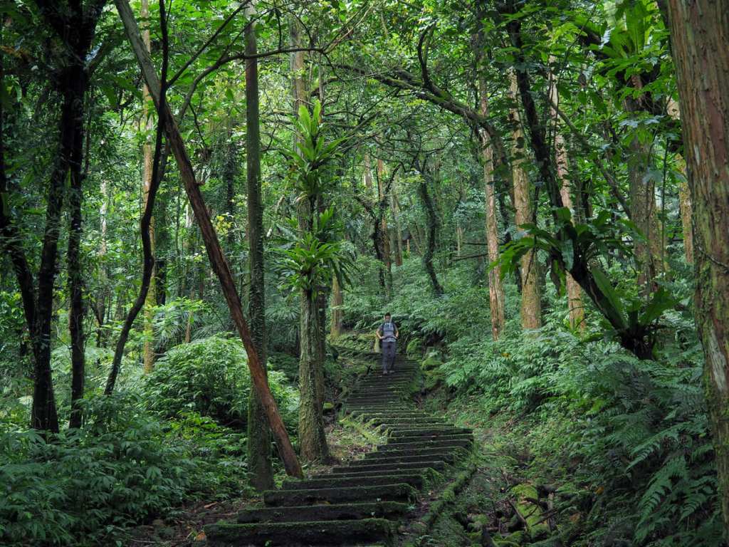
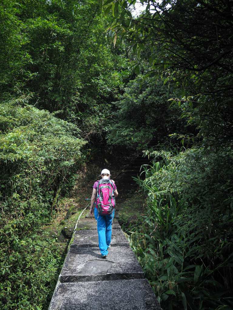
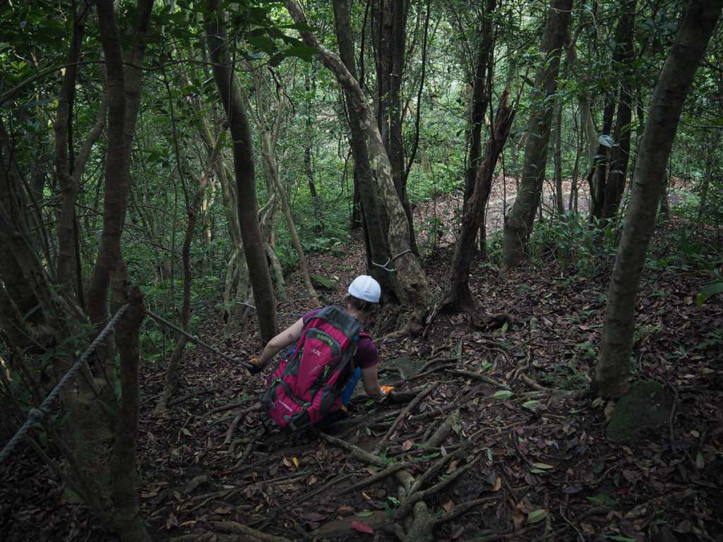
Teresa sporting a head-towel as she descends. The steps were unexpectedly pretty with lots of cedars, ferns and mosses.
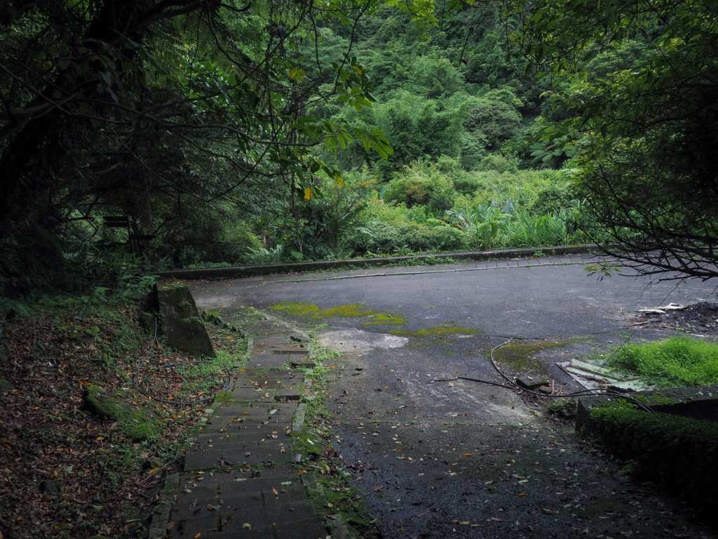
14:09 – Just as we made it back to the junction where the trail had begun, we passed a group of four hikers heading up—the only other people we’d seen all day.
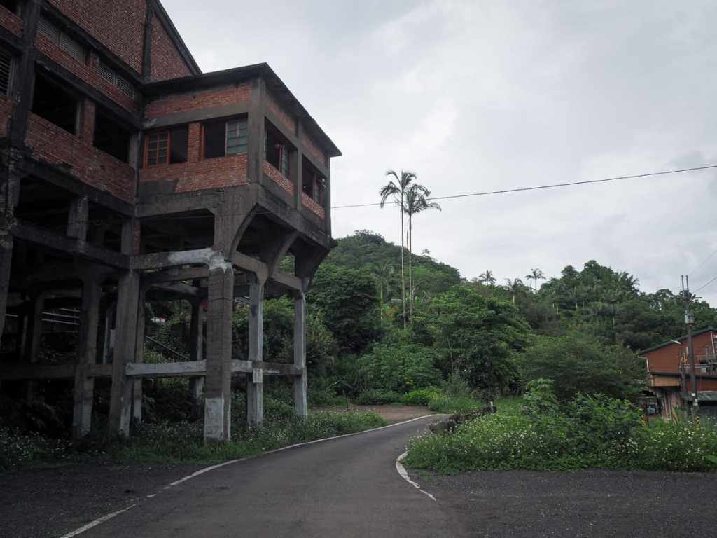
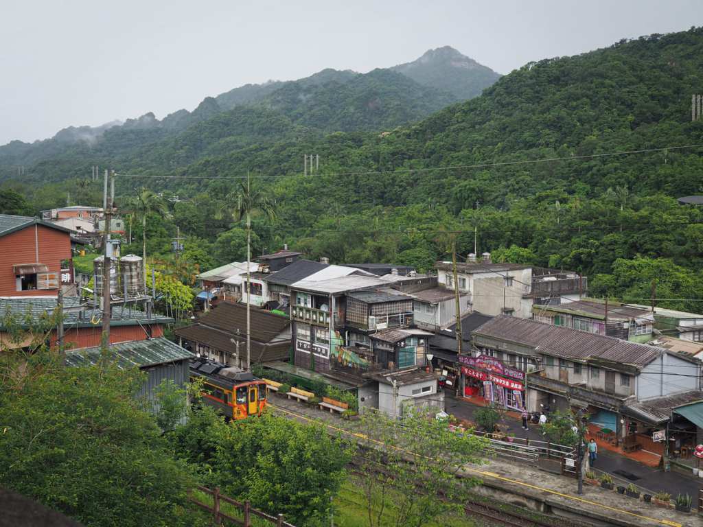
14:22 – A short while later, we arrived back in Jingtong and decided to have a coffee in this old mine facility overlooking the tracks. Within a few minutes of getting inside, the forecast of afternoon showers proved accurate as the heavens opened, and it began to piss it down. I wondered about the group we’d seen heading up and hoped they had the sense to turn back and seek shelter. This is not a walk you want to be doing in heavy rain.
How to get to Jingtong
Google Maps address: The walk starts near Jingtong Old Street, the last stop on the Pingxi Line. If you’re coming by scooter or car, it would be best to park on the far side of the river around here and walk over since the car parks here have a steep hourly fee.
GPS location: N25 01.430 E121 43.350
Public transport:
- By train – Board any train that will take you as far as Ruifang (all local and I think most express services stop here), then switch platforms to catch the Pingxi Line Train heading in the direction of Jingtong. If you’re using an Easy Card, you will need to swipe out and then swipe in again at Ruifang since the two lines use a different fare system. (There is a ticket booth with staff to help answer questions if you’re unsure.)
- By bus – the 795 Taiwan Tourist Shuttle departs from Muzha MRT Station and takes you all the way to Jingtong.
Further reading: I used this post to assist in planning the walk, but we ended up not following the same journey they took.
Nearby trails: There are loads of great walks to be enjoyed along the Pingxi Line.
Môxîná Cave and Stone Bamboo Peak Trail Map
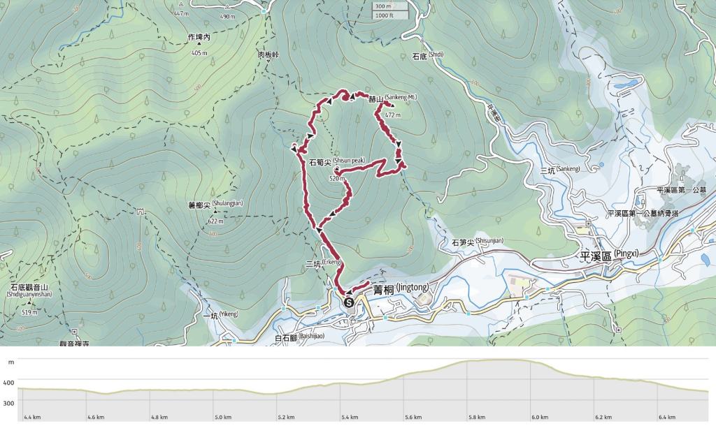
GPX file available here on Outdoor Active. (Account needed, but the free one works just fine.)
