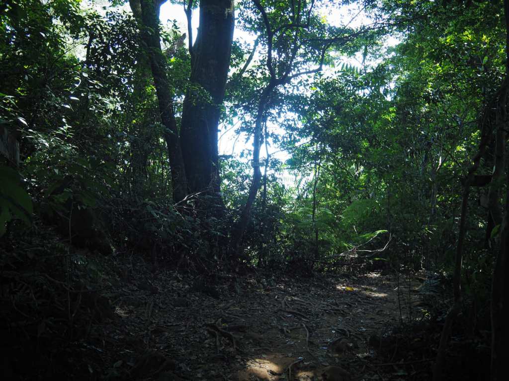
Climbing Taoyuan’s Mount Xizhou—one of Taiwan’s 100 Minor Peaks—is a pleasant half-day adventure on the northern edge of Shimen Reservoir. The shady trail winds up through a series of forest clearings and is a popular exercise spot for local retirees.
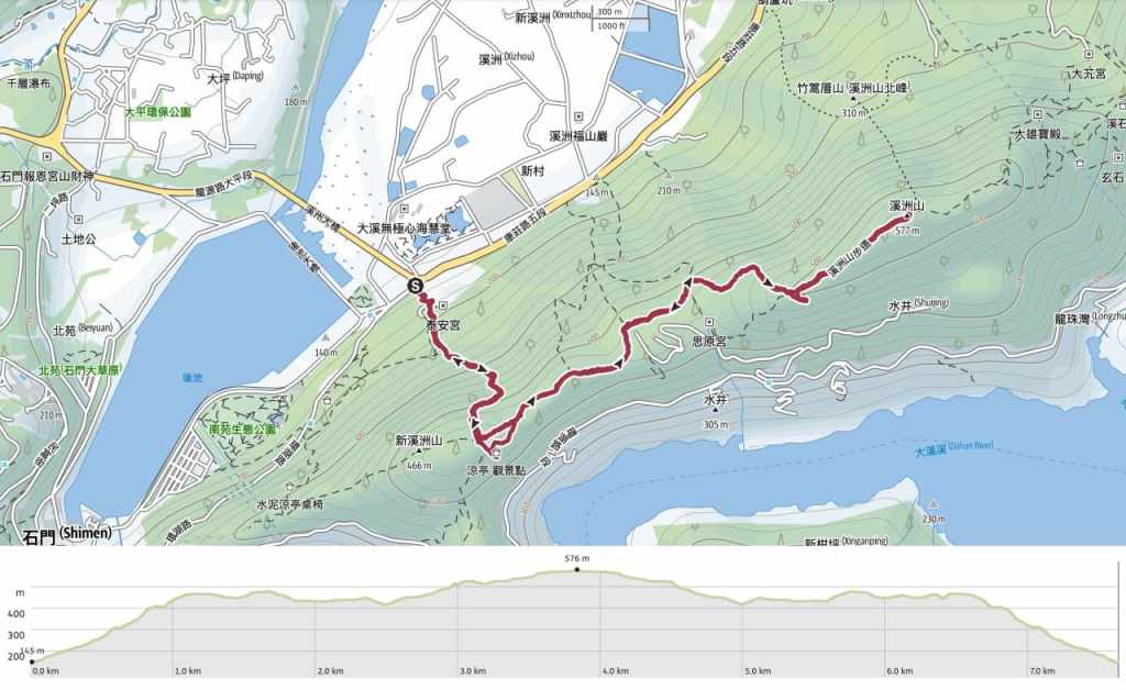
DISTANCE: 7.6 kilometres (with a little extra to get to the restaurant where I recuperated).
TIME: 3½ – 4½ hours.
TOTAL ASCENT: About 550 metres.
DIFFICULTY (REGULAR TAIWAN HIKERS): 4/10 – I think my perspective may be slightly skewed by the fact that I did this walk on one of the hottest days of the year, but I feel this is probably on the harder end of easy for regular Taiwan hikers. There are a lot of uneven stone steps and a reasonable amount of steep elevation gain (and loss).
DIFFICULTY (NEW HIKERS): 5-7/10 – Depending on the weather conditions, I’d say this is squarely in the moderate difficulty level for anyone new to hiking in Taiwan.
RISKS and DANGERS: Uneven and sometimes slippery steps. Lots of interlinking trails that look kind of similar.
SIGNAGE: If you’re unfamiliar with Taiwan’s trail signage, or can’t read Chinese, you might find the signage lacking on this route. However, if you look carefully, there are relatively clear clues. My only real complaint is that there aren’t proper fingerposts at the major junctions.
FOOD AND WATER: I finished 1.5L on a hot July day. I actually wished I’d taken more. Foodwise, I had some salt candy and snacks (nuts and dried fruit).
BATHROOM FACILITIES: There’s a toilet block close to the trailhead.
SHADE: Mostly very well-shaded. I was OK with a hat and long sleeves.
MOBILE NETWORK: Pretty clear throughout.
ENJOYMENT: This trail perfectly hits the sweet spot between heart-rate-raising exercise and pretty forest bathing.
SOLO HIKE-ABILITY: This would be a perfectly safe trail to hike by yourself. It’s really popular with locals, too, so you’re unlikely to find yourself alone for too long.
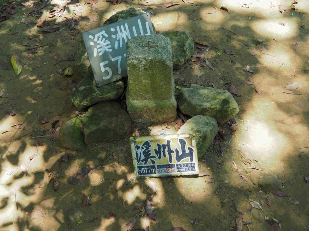
TAIWAN 100 MINOR PEAKS: Number 23, Mount Xizhou.
ROUTE TYPE: There and back.
PERMIT: None needed.
Jump to the bottom of this post for a trail map and GPX file.
DIRECTIONS:
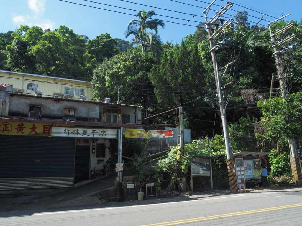
09:10 – Pinglin is the very last stop on the 5110, and before you can alight, the bus does a U-turn by the entrance to Shimen Reservoir Pinglin Check Point, meaning you get dropped off literally right in front of the trailhead. Walk up the ramp beside the shops and follow it up until the tarmac gives way to a dirt track.
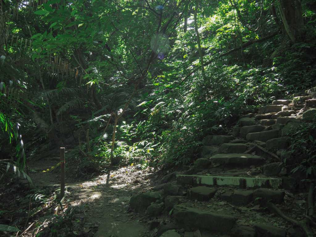
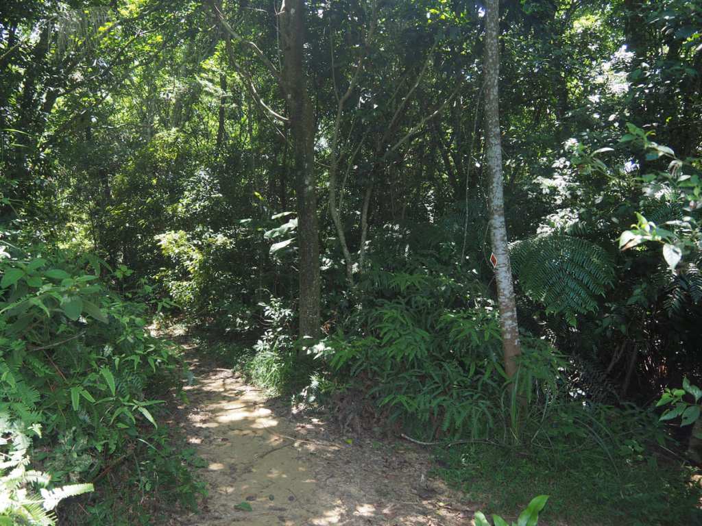
You can either follow the track up all the way until it runs out, or take a shortcut up the steps on the left. There’s no shortage of steps to come, so you might find the slightly longer (but less steppy) route preferable. Either way, they soon meet back up with each other, and from there, follow the path until it rejoins a more established trail then turn left onto it and keep climbing.
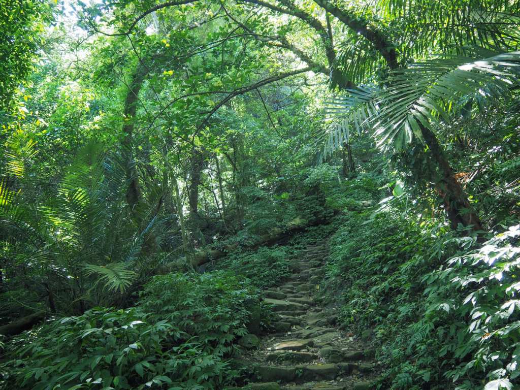
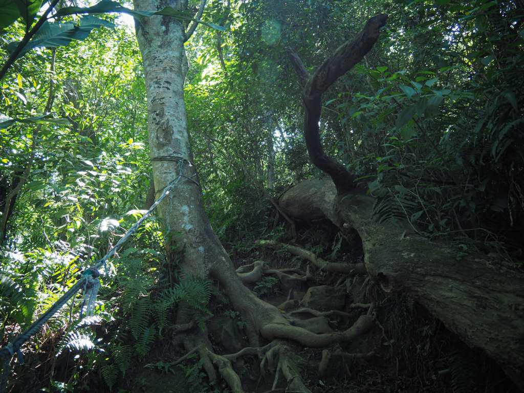
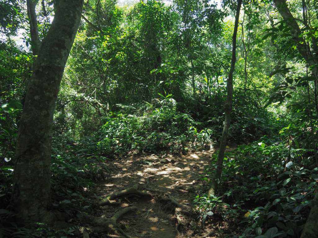
From very early on, you get a strong sense of what this trail is all about: lots of (not particularly extreme) climbing through a tunnel of lush greenery.
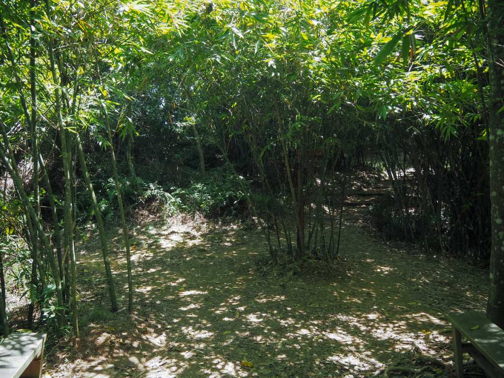
There are a couple of unmarked dirt paths leading away from the main trail, but it’s easy to ignore them.
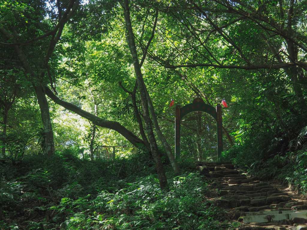
09:44 – An archway adorned with a pair of ROC flags marks the entrance to the first rest area.

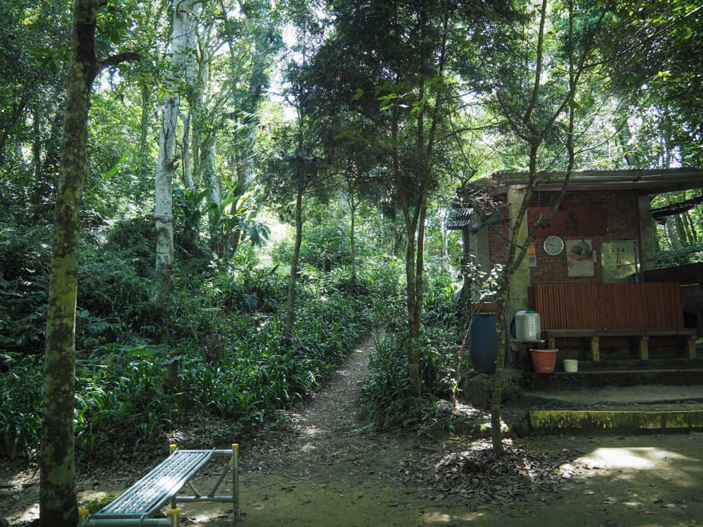
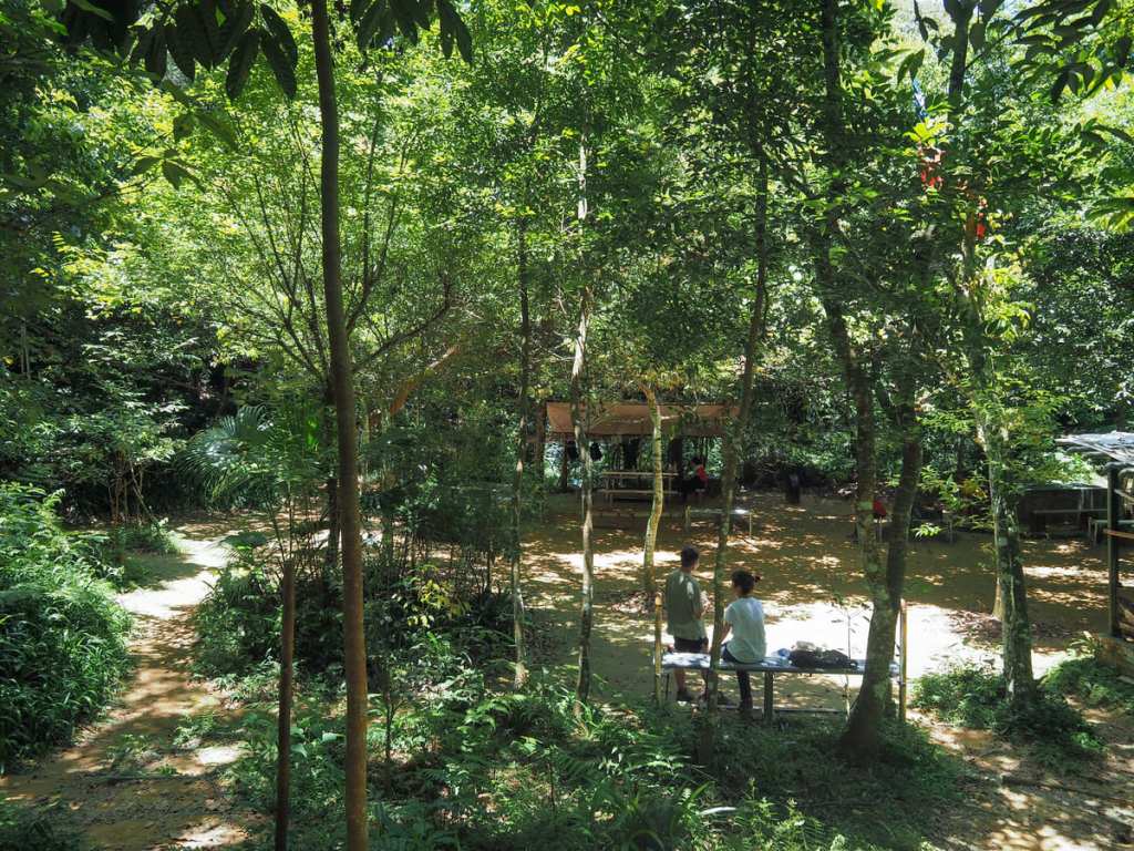
And it’s really quite the extensive rest area. The space spreads out over a large flat clearing and is filled with numerous benches, tables and all sorts of gym equipment. Even midweek, it was quite busy, so I imagine this is a proper supermarket on weekends and holidays.
To continue onwards toward Mount Xizhou, take the path that heads out of the clearing to the rear of a little brick structure.
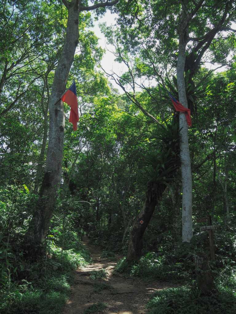
You’ll know you’re on the right track when you see two more flags decorating the trees to either side of the path.

Beside the trail, I spotted this young spider from the Argiope genus sitting in the middle of its zig-zagging stabilimentum.
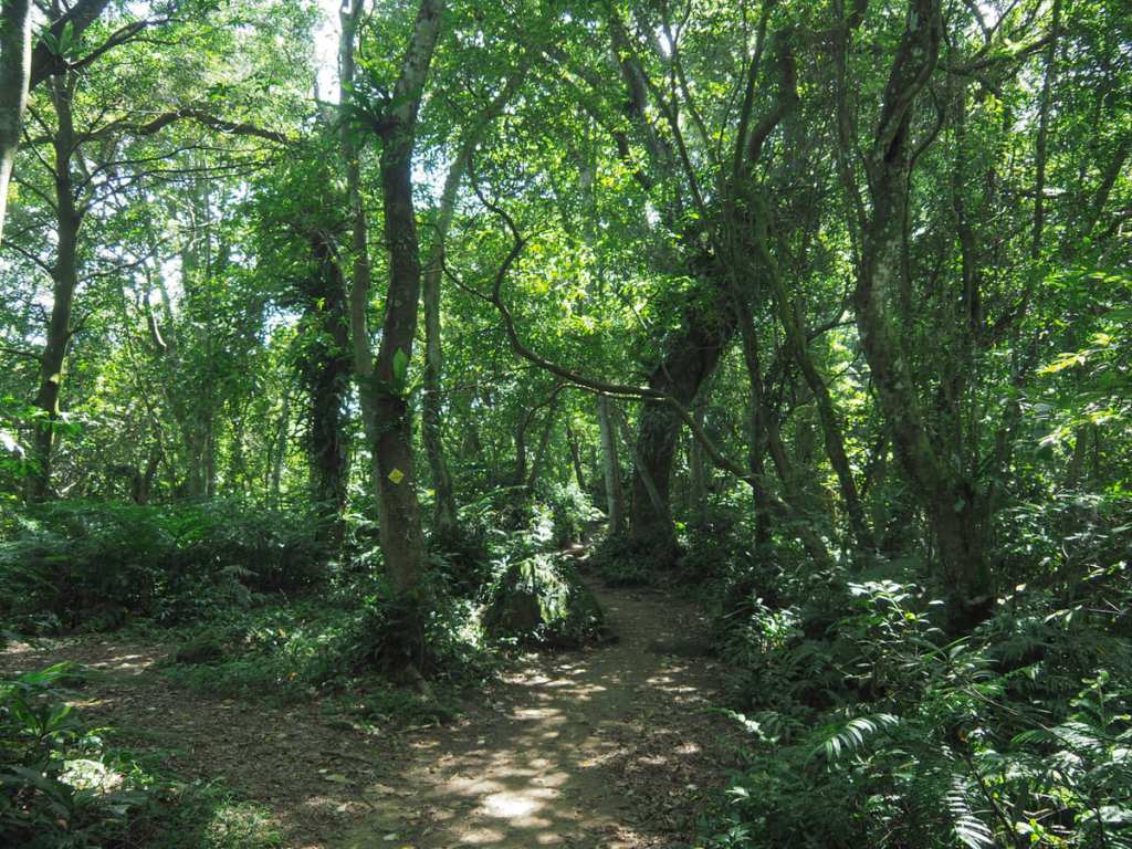
The ridge-top trail quickly settles into its stride. There are ups and downs the whole way to the summit of Mount Xizhou, and they whole way, you’re following yellow diamond markers for Wuxi Long Trail (五溪縱走, or TAO10), an epic undertaking that covers 21 kilometres, ten peaks, and a painful amount of ascent and descent.
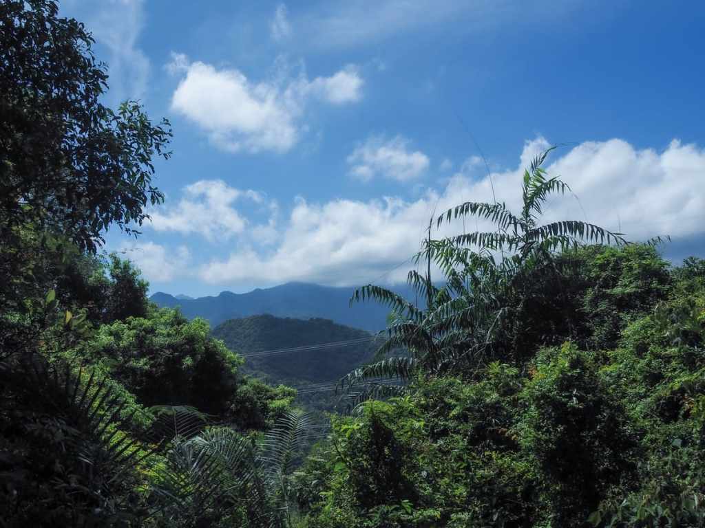
In a couple of spots, there are brief glimpses of distant scenery to be enjoyed, but for the most part, I found myself walking in the shade of tall trees.
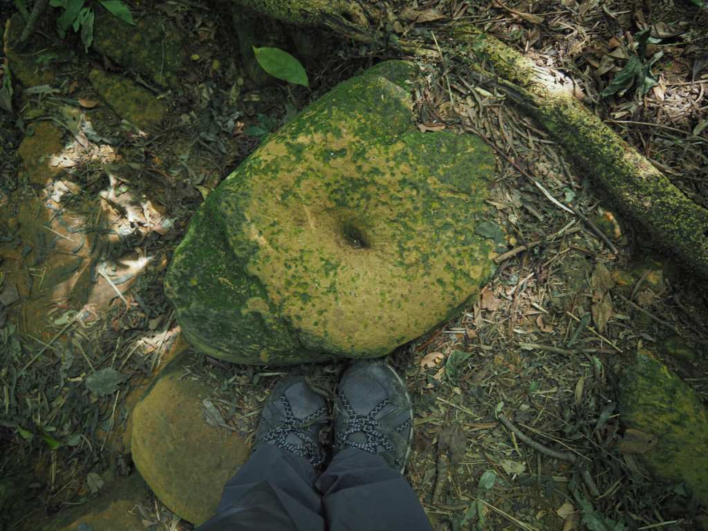
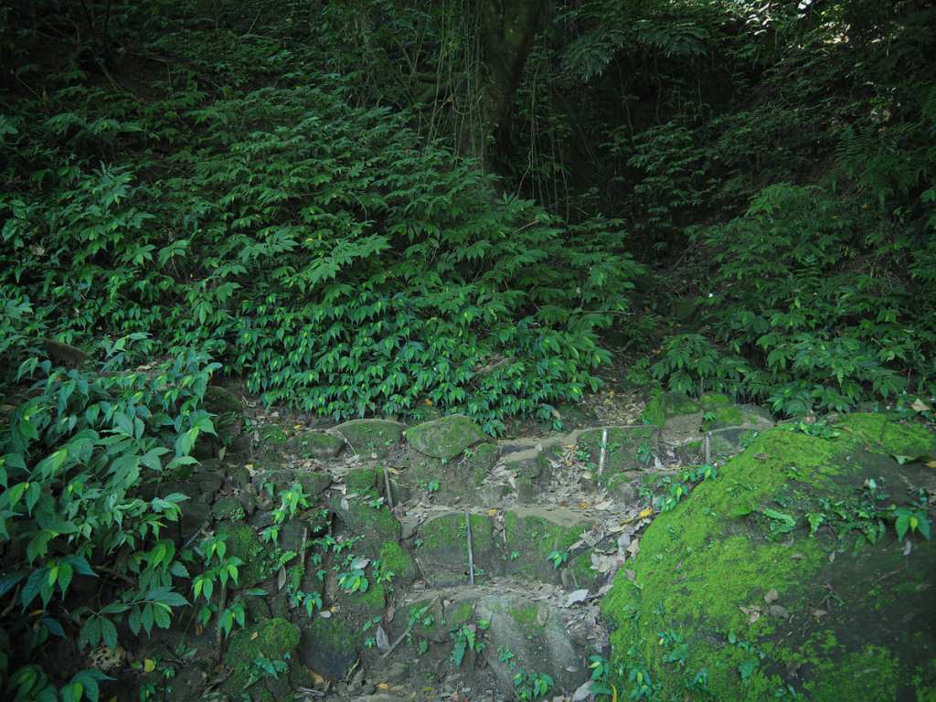
The bedrock here is a soft sandstone. It’s so soft that you could easily scratch it with a blade, and there are numerous stones along the trail that bear the impression of thousands of metal-tipped hiking sticks.
Another trail joins from the left here. The sign says it heads towards Fushanyan Trailhead (福山巖登山口). Ignore it and follow the trail as it veers right.
10:22 – About forty minutes after leaving the first rest area, I came upon the second. This one has a few benches spread across two small clearings.
Some of the benches are angled towards a gap in the trees which affords a view over the nearby farmland. The large red building is Fushan Qingshui Zhushi Temple (福山巖清水祖師廟). Beside it is one of an assortment of sedimentation ponds known collectively as Shen’an Pool (沈澱池). The tanks help to extend the useful lifespan of Shimen Reservoir by collecting silt washed down during typhoons or heavy rains. The silt is then taken by truck to various land reclamation projects around Taiwan’s coastal area. A secondary feature of the ponds is their benefit to local wildlife. Numerous species of aquatic plants can be seen growing in or beside the pools, which in turn, provide sustance for minibeasts and waterbirds. In April, it’s evidently a good place to go firefly spotting.
The trail dips down to a cross roads and heads straight over. Weirdly, Mount Xizhou isn’t mentioned at all on the fingerpost that stands in the centre.
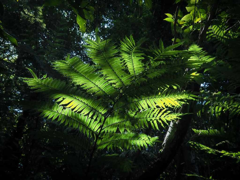
Sunlight filtering through path-side fernery.
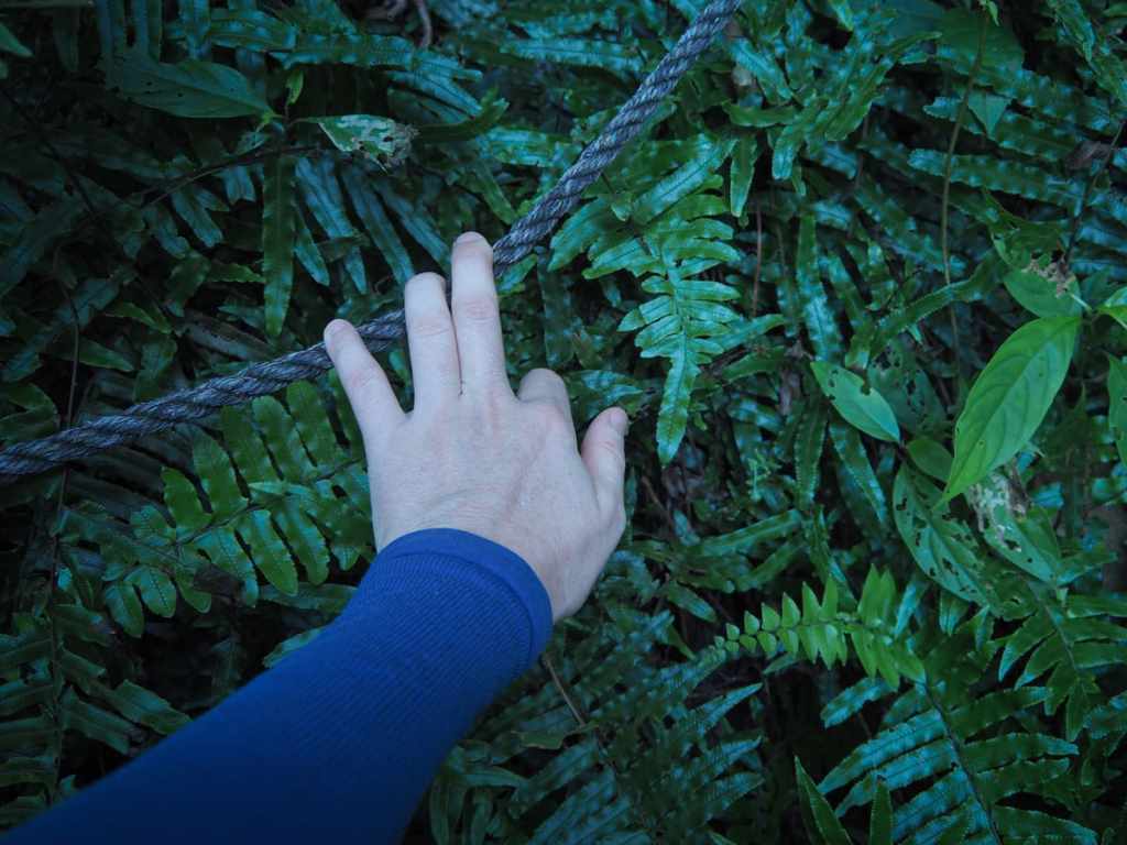
In a couple of places, the path gets steep enough to warrant a few fixed ropes, but by and large, the ups and downs are relatively sedate (at least by Taiwan standards).
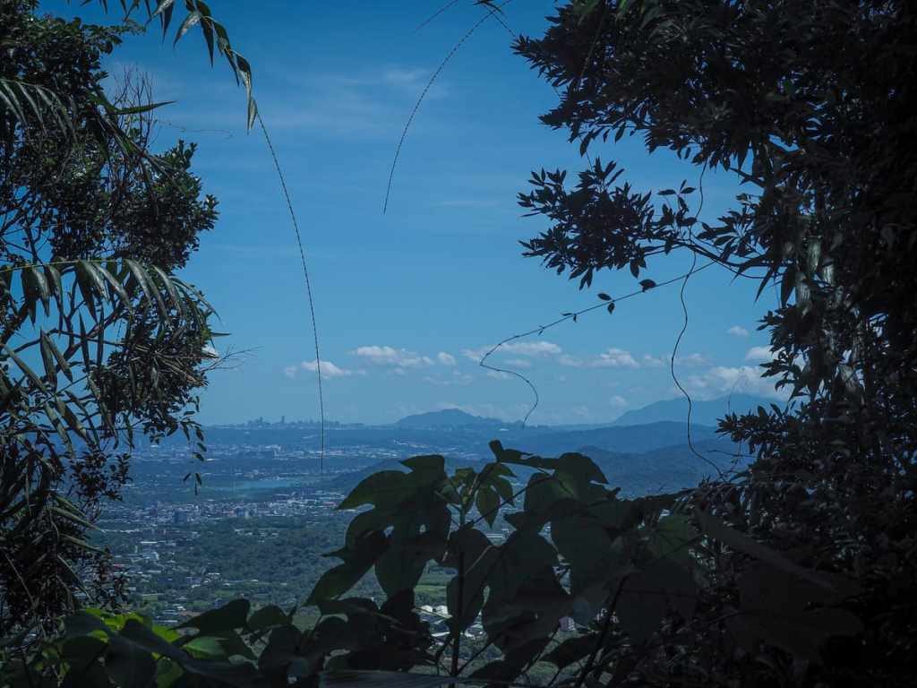
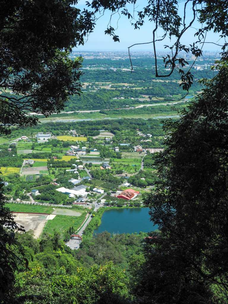
A leafy window frame to the left of the path revealed the unmistakable profile of Mount Guanyin rising just to the right of Linkou’s highrises, and further east, the mountainous mass of Yangmingshan National Park reaches to the clouds.


Some of the critters I saw along the trail. The one on the left is a young Indian forest skink—one of hundreds that were on the trail that day. In fact, if you head out to pretty much any lower-elevation trail in July, you’re likely to see armies of these little buggers diving for cover as you draw near. On the right is a tree lizard. These guys tend to be a bit less flighty than the skinks, so you’re more likely to be able to get a good look at them.
10:44 – The trail climbs to a small clearing with a bench, a rocky overlook and a sign proclaiming “520” affixed to a tree. The number corresponds to the location’s elevation above sea level, but it was probab;y put there because for Chinese speakers, “520” sounds somewhat like “I love you”.
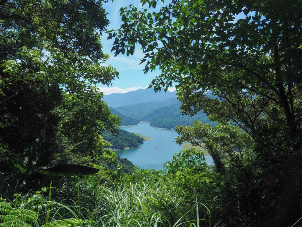
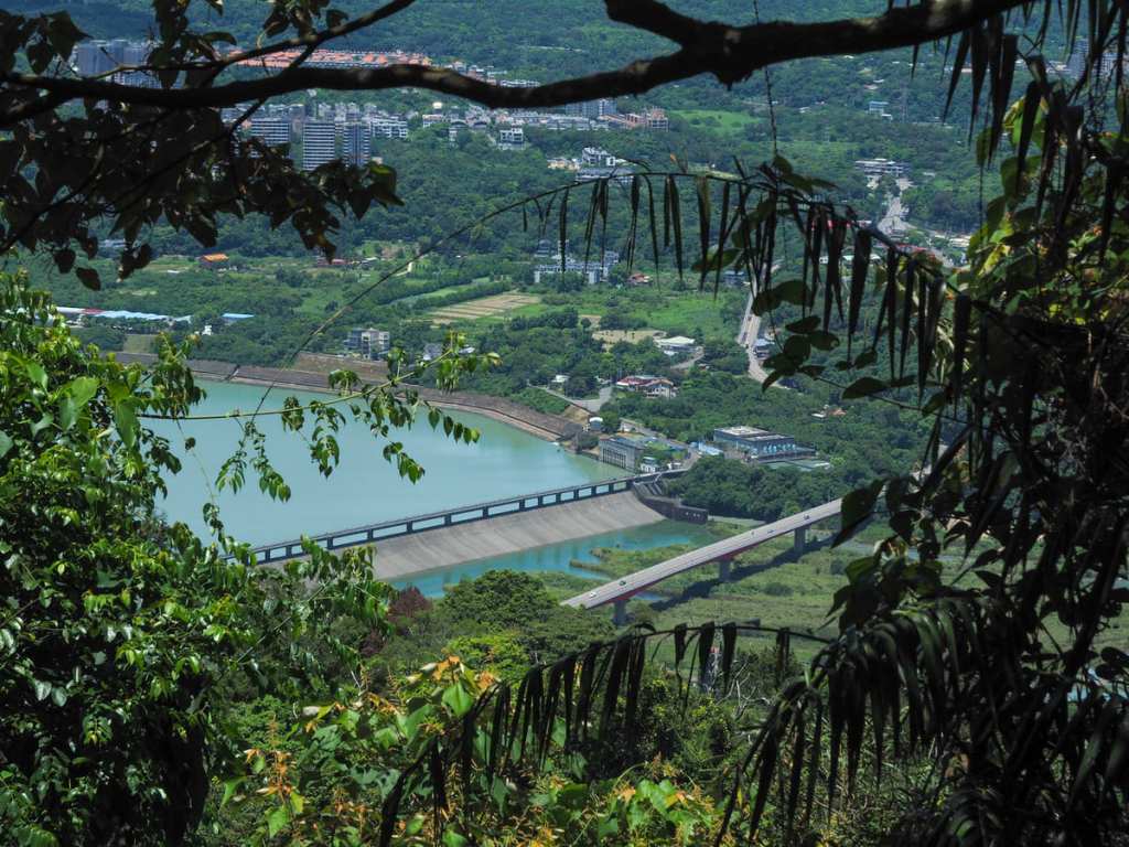
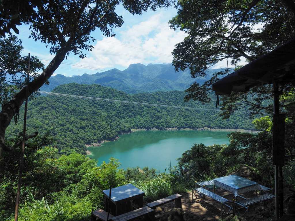
From the overlook, you can see down towards Xizhou Bridge and the pool where Shimen Reservoir transitions into Dahan River.
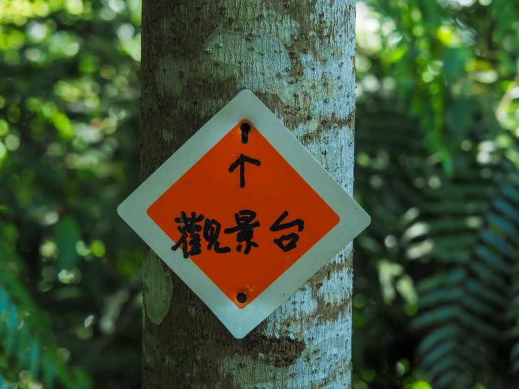
10:47 – Keep an eye open for an orange diamond on the right side of the trail. This marks the start of a short side trail leading to a viewing area.
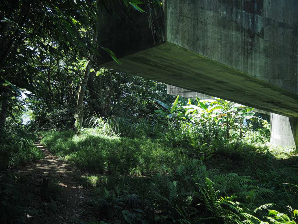
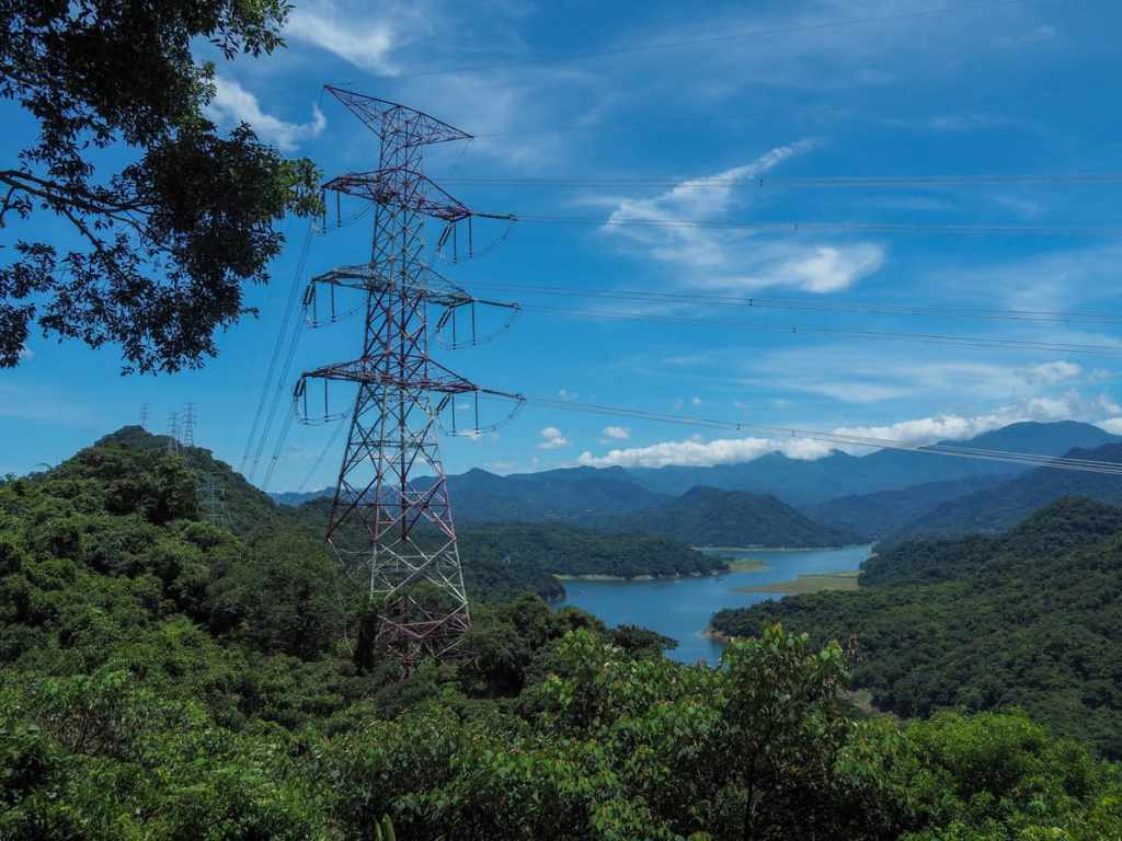
Following the side-trail through the trees, I came across the beefy concrete supports of an electricity pylon.
Just a short distance further down from the pylon, there’s a clearing with a picnic bench and pretty views over the reservoir.
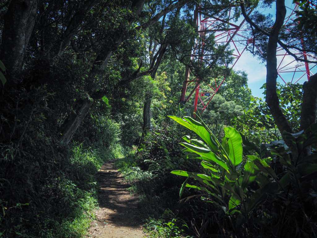
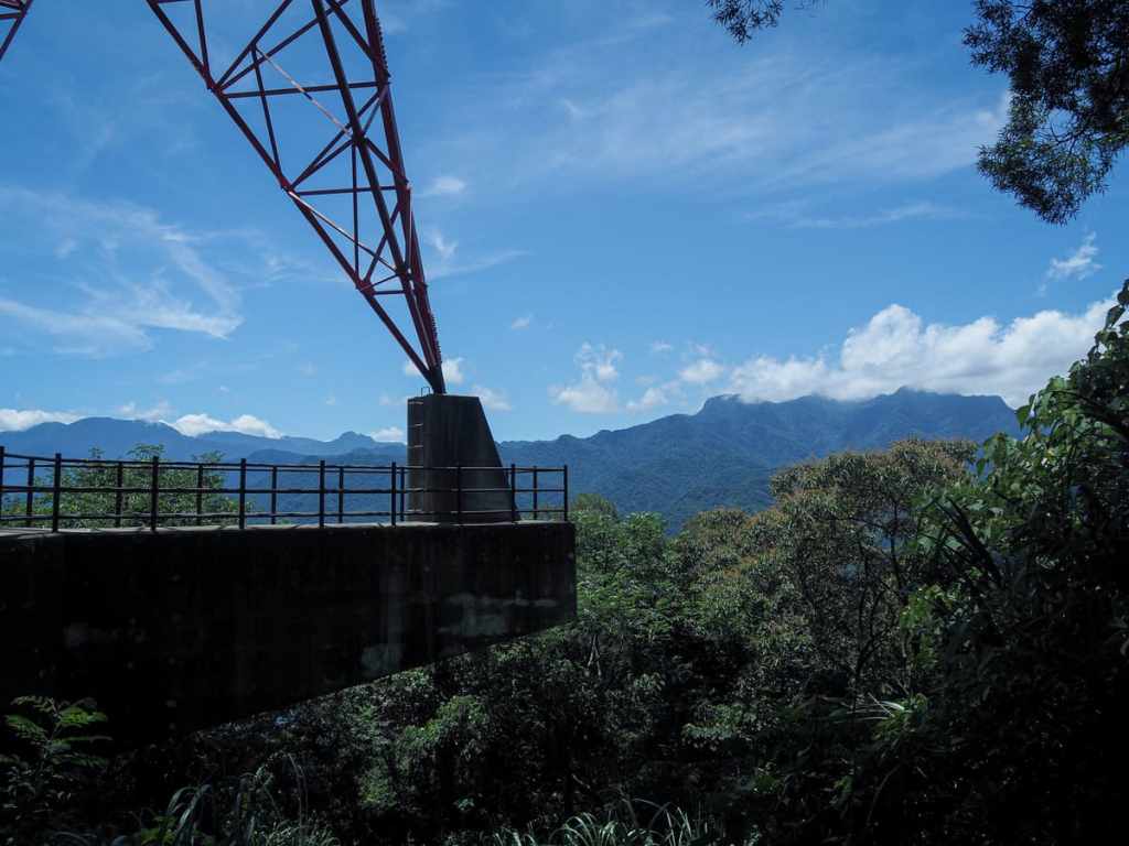
After pausing to enjoy the view, I headed back to the main trail and continued past another pylon. A length of rope has been fashioned into a step so that you can climb up onto the concrete platform, and I am pretty sure that this would afford you the best views of the whole hike, but unfortunately, there’s also a spray-painted note saying not to climb it and I’m too well-behaved to go against
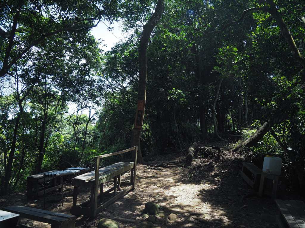
11:00 – The summit clearing is massive and full of tables and chairs—a clear sign that this is a very popular trail among the locals in the early mornings and on weekends. But on a midweek morning, it was just me and one other guy who had removed his top to left it dry off in the sun, and a whole bunch of crows. I didn’t actually see the crows, but their raucous caws came from all around, obviously there was some full-flock conversation taking place above my head.
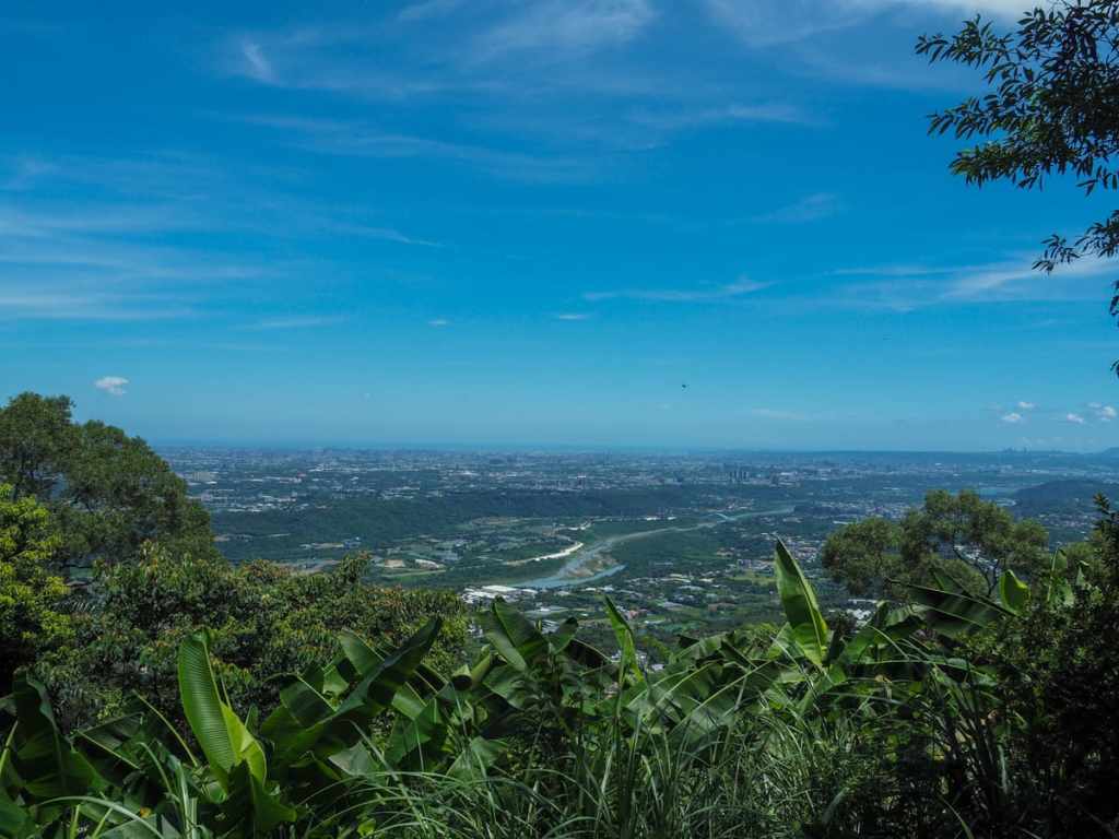
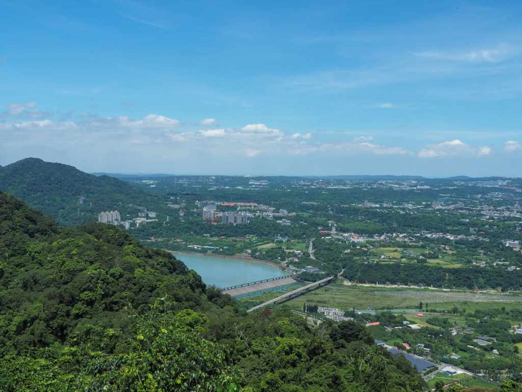
The view from the top looks over towards Taoyuan’s coastal regions.
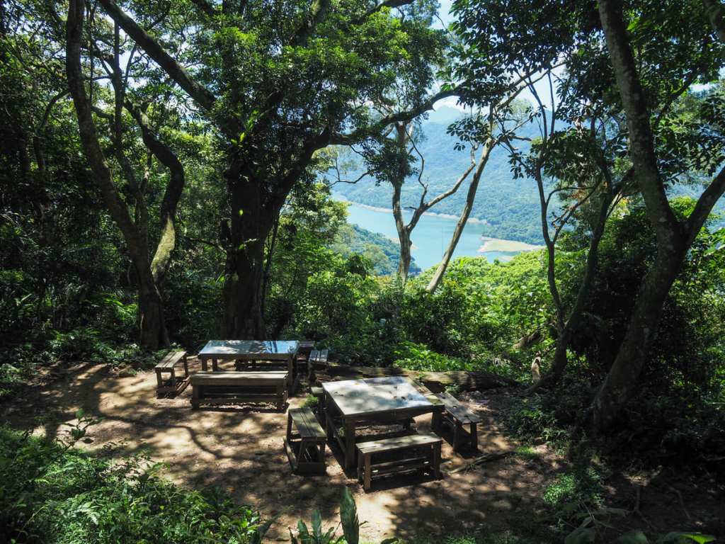
Meanwhile, picnic tables on the far side of the clearing offer a partially obscured glimpse of Shimen Reservoir.
After a little snack break and pause to catch my breathe, I turned back and began retracing my steps. From this gap in the trees, I could see the cafe that I’d earmarked as a potential post-hike refuelling stop and the remainder of my walk was spent daydreaming about air conditioning and coffee.
The only point where I veered off my original course was at this junction. The trail I’d taken to reach the summit was the one on the right, but I decided to take the left hand path towards a spot that was marked on the map as having a view.
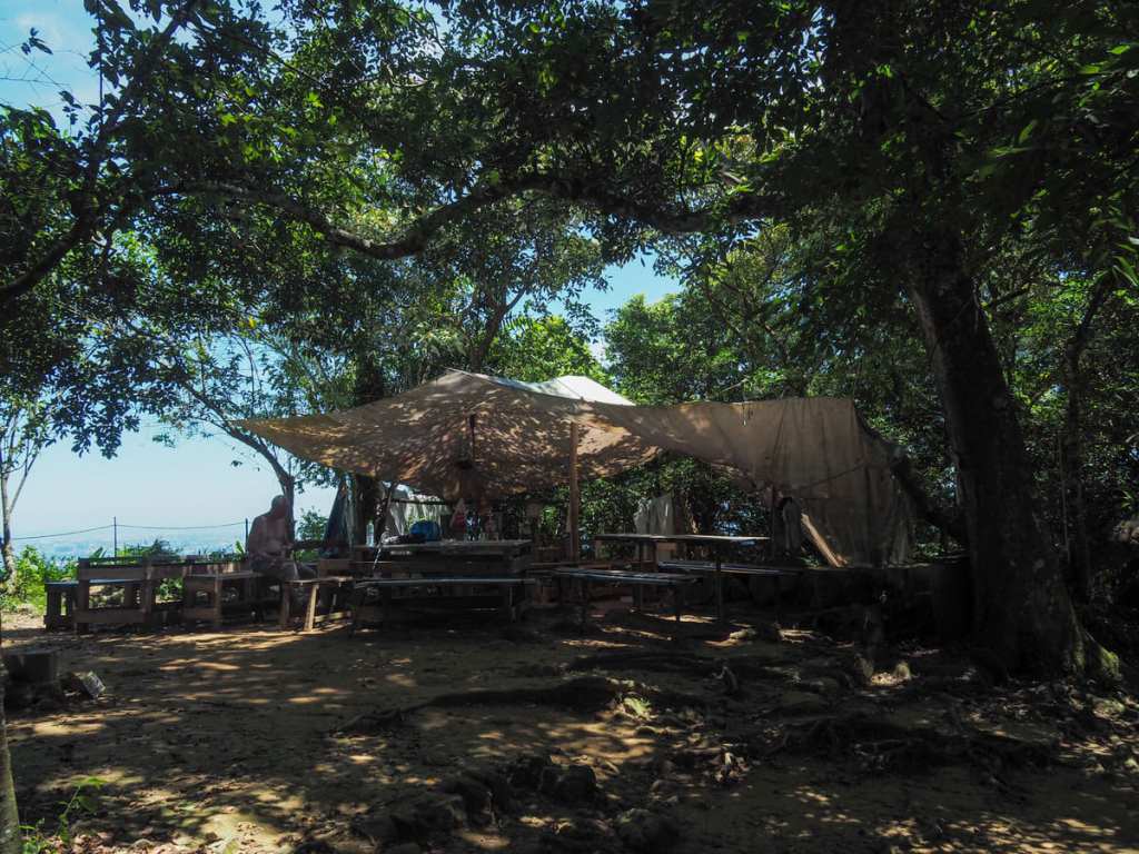
The side trail heads around the back of the first large rest area is come across before reaching this spot. There’s a shelter here and a couple of picnic tables, and the whole area is decked out with ROC flags. Like many mountaintop shelters in Taiwan, it also seems to have its own troupe of noisy retirees who know each other and camp out there all morning.
From the shelter, it took just another minute to arrive back at the large rest area, and from there, I headed back down the same way to the trailhead. I then spent a leisurely afternoon drinking lots of liquids and eating pizza at 3個娃1個爸披薩.
HOW TO GET TO MOUNT XIZHOU
Google Maps address: The walk starts on Provincial Highway No. 4, close to one of the entrances to Shimen Reservoir. If you’re coming by car or scooter, there are some roadside parking spaces very close to the trailhead. There are also more spaces just through the toll gates, but you’d have to pay to get in (NT$120 for a car, NT$50 for a scooter).
GPS location: N24 49.320 E121 15.450
Public transport: If you’re coming from Taipei, public transport is available but a bit of a faff and to be honest, I’d say it’s only worthwhile if you plan to combine the hike with an extended afternoon coffee shop stay (as I did) or with a wander around Daxi Old Street. Working backwards from the destination, you’ll need to catch the 5110 from Daxi Bus Terminal bound for Pinglin (not the famous Pinglin) and alight at Pinglin Bus Stop. However, there are several methods for getting to Daxi and you’ll need to pick the one that best suits your location. For me, that meant catching the 9005A (Taipei City Hall to Taoyuan Bus Station), then transferring onto the 5096 via Gengliaojiao to Daxi Bus Terminal. To head home, it’s the same but in reverse.
MOUNT XIZHOU TRAIL MAP
GPX file available here on Outdoor Active. (Account needed, but the free one works just fine.)
