Distance: 4km for all three coloured loops on the map but it could easily be shortened to accommodate different abilities or schedules.
Time: 2 hours at a gentle pace
Difficulty: 3.5/10 – short, well signed paths, easy underfoot, the only thing which might contribute to difficulty is the amount of up and down, you wouldn’t be able to do it with a pushchair.
Water: on a cool Spring day two of us and a dog used about 600ml but I would have drunk more if I’d had it.
Shade: no problem of a cloudy day and probably enough shade even on a bright day if you don’t have extremely fair skin.
Mobile network: good throughout.
Enjoyment: I don’t know if it was because we went there on a whim and weren’t expecting much, or it could have been the cute bridges, or seeing how happy it made the dog, or the fact that this trail was so much cleaner than almost everywhere else I’ve walked in Taiwan (as in no noticeable litter at all), but for some reason this walk was really pleasant. It definitely surpassed my expectations of a walk on a strip of land wedged between an industrial estate and a freeway.
Linkou Forest Trail Map
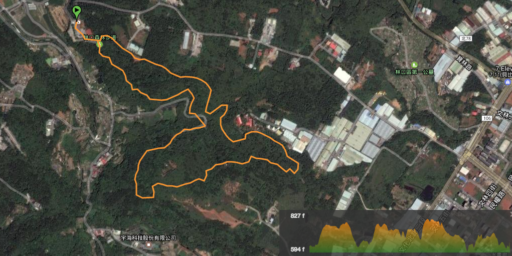
Link to a downloadable version of the map can be found here.

The start of the trail (and plenty of parking) is hidden behind Dingfuyan Temple, it feels odd to drive through the temple courtyard but that’s the right way to go.
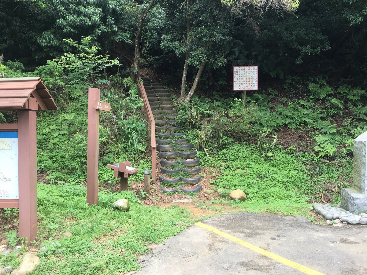
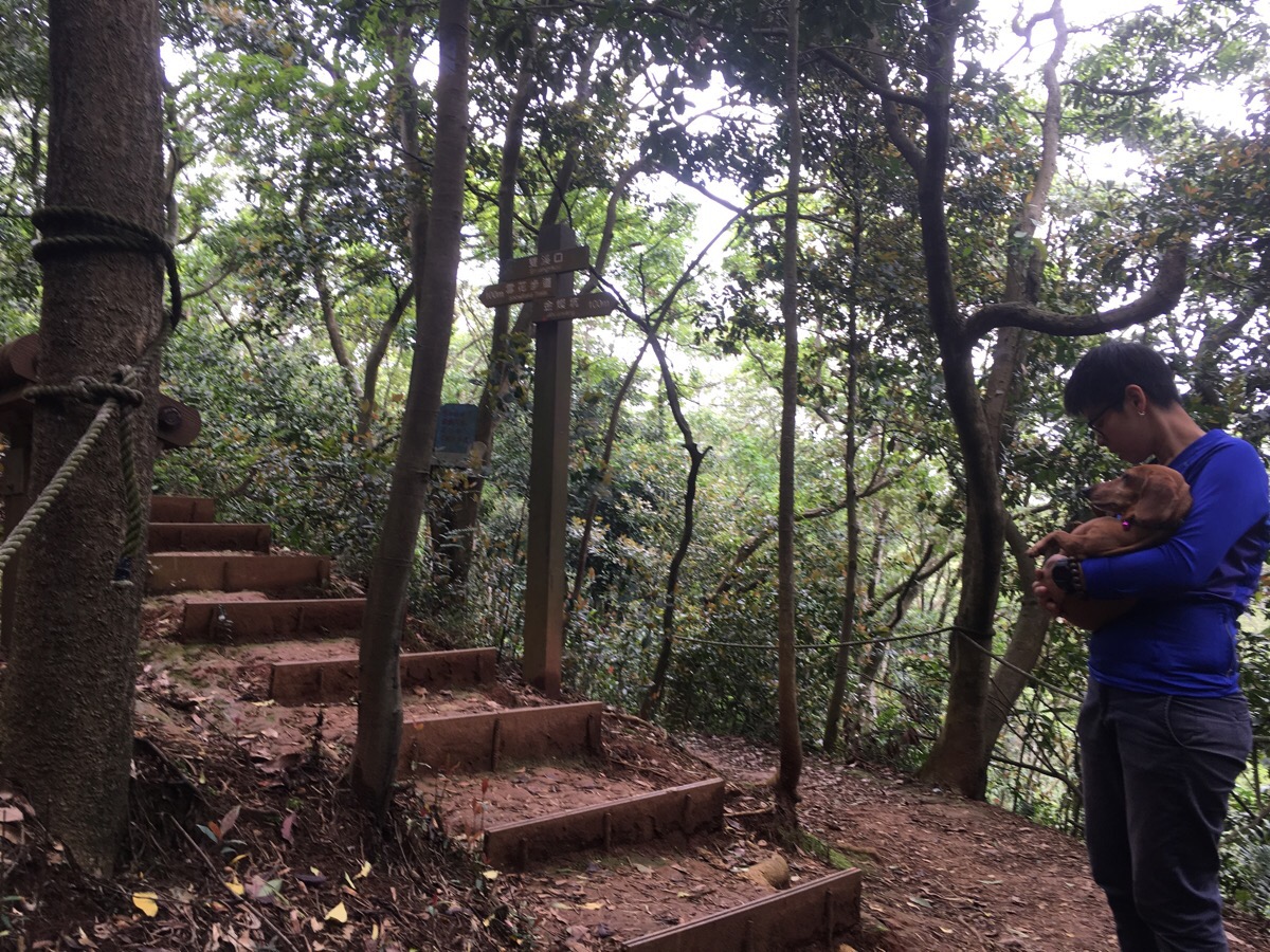
Next to some toilets and a map there are two trail entrances – one leading up and the other heading down. Follow the one going up in order to keep go the same way as the distance markers.

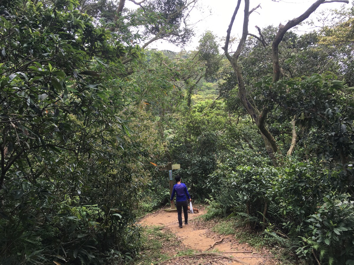
The whole of the trail is wonderfully sign-posted and mapped, every junction has clear way markers and the maps are both frequent and consistent.
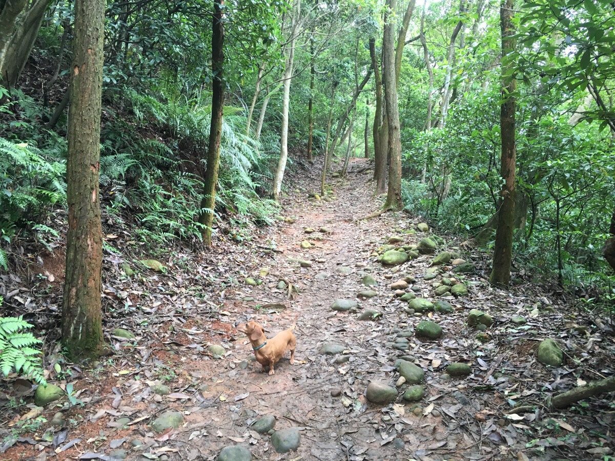
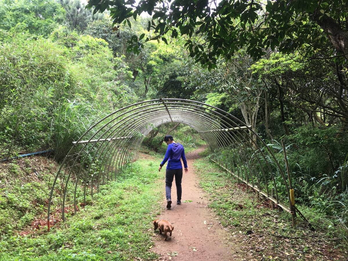
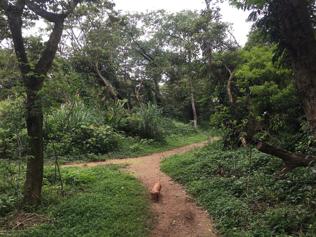
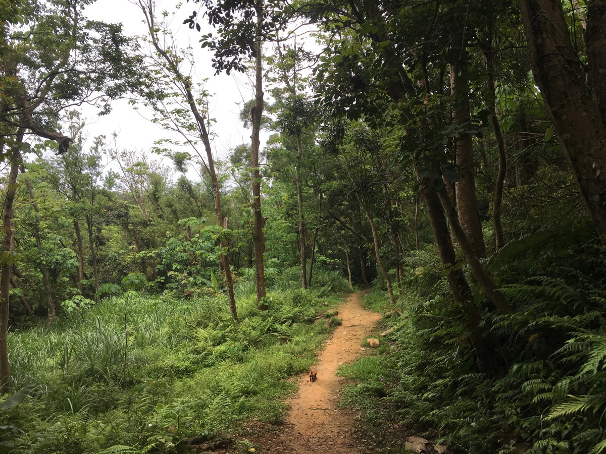
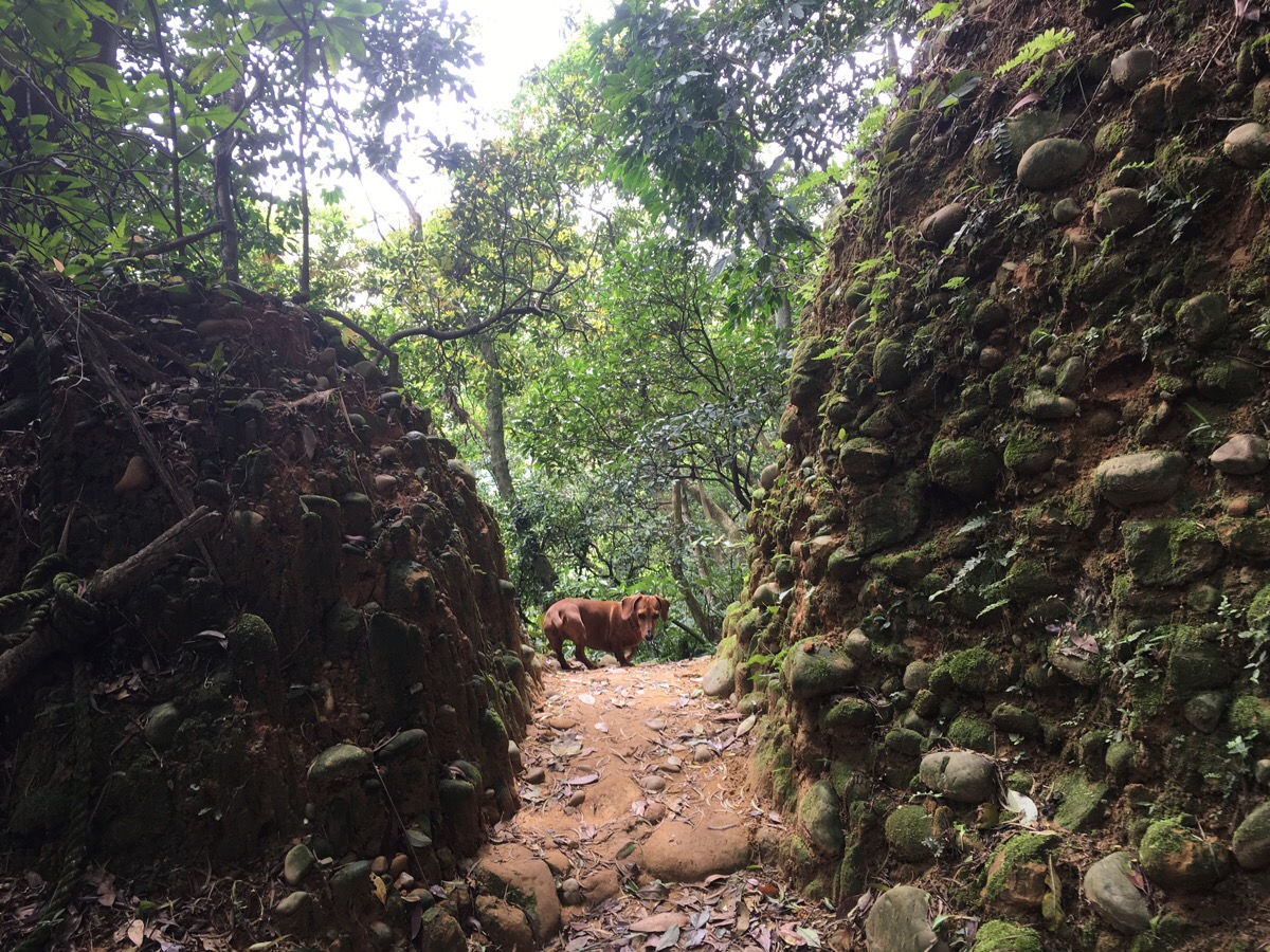
The path is well trodden and easily defined the whole way round which makes it suitable for both dogs and children. Youtiao’s short legs meant that we had to carry her up and down some of the steeper steps, but otherwise she did great.
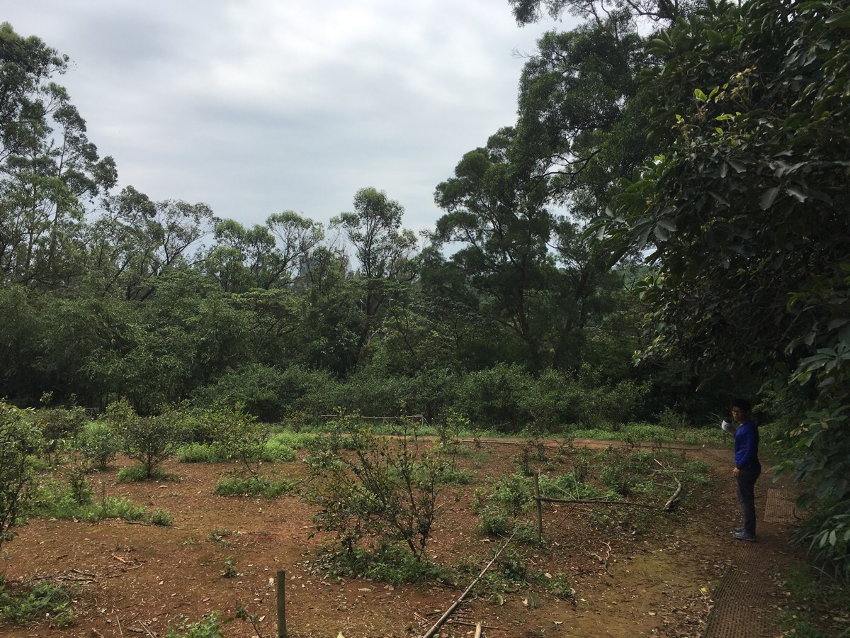
The path skirts the edge of a small tea garden before climbing up to tiger hill or 虎山 (not to be confused with tiger mountain in Taipei).

Tiger hill has a small information board which claims that the hill got its name after local settlers had their children stolen by tigers – thankfully there weren’t any in evidence when we were there.
Going down from tiger hill, the path quickly forks, the right is a short cut to further along the pink loop on the map but we went left towards 泉園 and where the pink loop joins the orange loop.

At the next junction we turned left again, one signpost said towards 泉園/Spring garden and the other said 蜜蜂湖 (bee lake). The road to the right just loops back along the start.
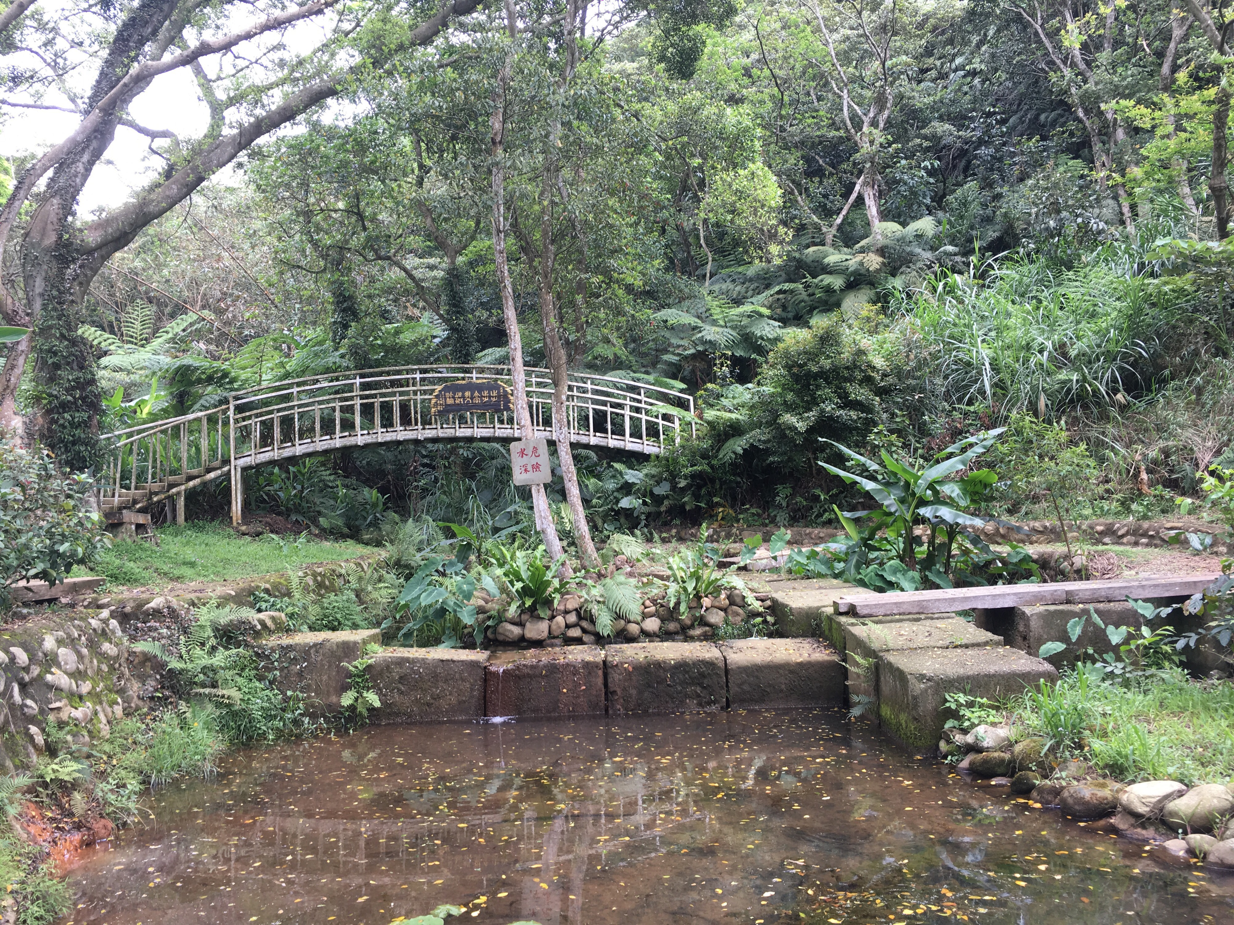
Spring garden is a small glade with a rest pavillion and a pond with an unnecessary number of crossings. The bridge was the first of several named or themed bridges along the path – this one was named Spring bridge and all the planks making up the floor were resting on springs which gave it a bouncy tread. Once over the bridge, the path climbs up fixed steps to another pavillion which is marked as being the sight of the Wu family’s historic residence. Someone is still in residence here as there’s an industrial-looking unit just beyond the path and a well-tended farm with lots of labelled plants. If you look across the valley from here you’ll be able to see the highland pavillion which you’ll arrive at after another 20 minutes or so.
The path flattens out for a short way before heading down into the valley again – despite having height gains and losses of under 200m, quite a lot if this trail is either up or down, (gently though).
The Glide bridge is at the furthest point of the orange loop. It’s possible to see how it would have worked originally but it seems that plant growth has hindered functionality. From the bridge it’s a short climb up to the Highland pavillion where you can stop and look back at where you’ve come from. We didn’t stop because a middle-aged group of hikers had fully spread out in the space to chat, eat and sleep.
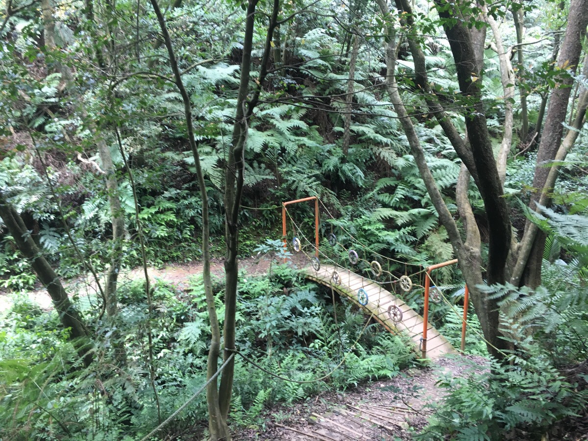
The path winds down to the next bridge, 天搖地動 which means something like day shaking bridge. Indeed it does shake, not too much but enough to unnerve Youtiao so that she waddled across hesitantly.
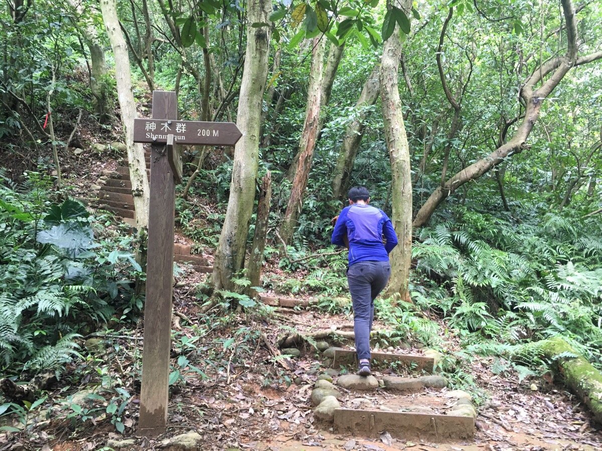
At the next junction you can go straight to skip the red loop or go up the steps following the sign for the snowflake trail to do the whole route.

We went up through the gateway to the snowflake trail – I’m not sure why it has that name, maybe the many white daisy-like flowers lining the path.
There are a couple of paths branching off. Here we went right.

At the next junction follow the signs left for 168 ladder, (pretty sure this means 168 steps).
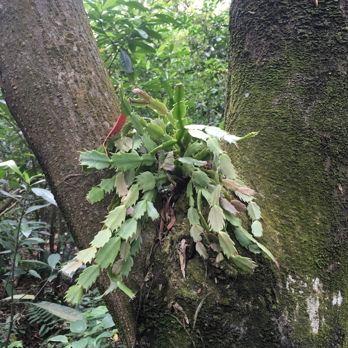
This has to be one of the coolest tree-dwellers that I’ve seen, it looks like an alien lifeform.
The path reconnects with the orange section of the trail at the 168 ladder/steps. Just beyond here it passes a small farm.

We encountered a Stejneger’s grass lizard sunning itself on some left-out farming materials.

The farm turns into a small betel nut plantation (named Areca Forest on the map) to the left of the path and the path rejoins a small road.
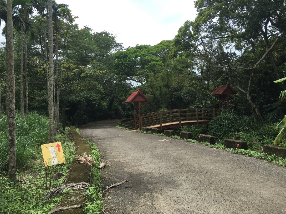
Keeping the betel nut trees on the left you pass two bridges, the first one goes back to the start of the orange loop, so we look the path over the second bridge which is the continuation of the original pink path.
There are a couple of junctions before you get back to the start, in both cases the left path follows the pink route and the right path goes back to places that’s you’ve already been. This first left turn up some steps is unsignposted.

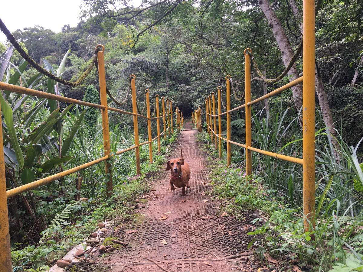
The second junction the signpost indicates that you’re going towards dongdaxiwai bridge – this four word phrase in Chinese is something akin to ‘all over the place’ or ‘this way and that way’ but if I were naming the bridge in English I might call it the wibbly wobbly bridge. This bridge is a long, flat plank with each of the four corners resting on a couple of springs so that it lurches to the left if you step heavily to the left and to the right if you jump on that side.
Beyond the wibbly wobbly bridge and a little before returning to the starting point, the path goes through a small cutting where rain has weathered the earth into small columns under pebbles in the most interesting way. After we got back to the temple, we filled up our water bottles from the temple water machine and said hi to the temple dog – a handsome black and brown, tiger-striped dog who looks about 100% more fearsome than he actually is. The temple groundsman said that they called him A-dai, a Taiwanese name which has a similar meaning to ‘Simpleton’ – an undignified name for a very dignified hound.
How to get to Linkou Forest Trail
Google maps address: 244, New Taipei City, Linkou District, 區林口森林步道
GPS location: N25 05.487 E121 21.490
Public transport: the airport MRT would be the quickest way from Taipei but there’s not really any buses to the location. You’d be better off getting a taxi since the road to the temple is kind of industrial with lots of guard dogs lazing in the forecourts.
My new words learnt on this hike were:
- 百香果 / bǎixiāng guǒ / passion fruit
- 蠻 / mán / pretty, quite or pretty much – still haven’t quite got to grips with how to use this one.
- 東倒西歪的 / dōngdǎoxīwāi de / google translate says this means ‘staggering’ but as I said in the main blog post, I think ‘all over the place’ is better. Teresa said that one way this might be used is that if trees are bent all over the place after a typhoon you might describe the trees as being 東倒西歪的. It also helps a little to to know the individual characters: 東/倒/西/歪 broken down into individual characters means east/to/west/crooked.

Unfortunately the snowflake trail does not exist anymore. Trees have been felled and the area is parceled out… Also the 天搖地動 bridge does not exist anymore.
LikeLiked by 1 person
Thanks for letting me know. If I have time I’ll go back and try and update this.
LikeLike