Distance: 5.2km
Time: 2¼ hours
Difficulty (regular Taiwan hiker): 1.5/10 – a little rough around the edges and not so much English signage.
Difficulty (new Taiwan hiker): 5.5/10 – the terrain on this hike was quite varied, there were easy sections of road, parts where the surface was mossy rocks with a rope to help and other parts where you were climbing up old steps or just mud. Overall it’s not a difficult path but a couple of sections make the whole thing a bit harder.
Water: 0.8L – I drank quite a bit on the uphill sections but less on the way down. Also there’s the possibility of slightly extending the walk to take in a rest stop with the chance to refuel.
Shade: mostly dappled shade throughout.
Mobile network: pretty much ok but a few places without any signal.
Enjoyment: A walk with interesting variety, and an old feel. It’s a shame that the view wasn’t more exciting but then it can’t always be I suppose.
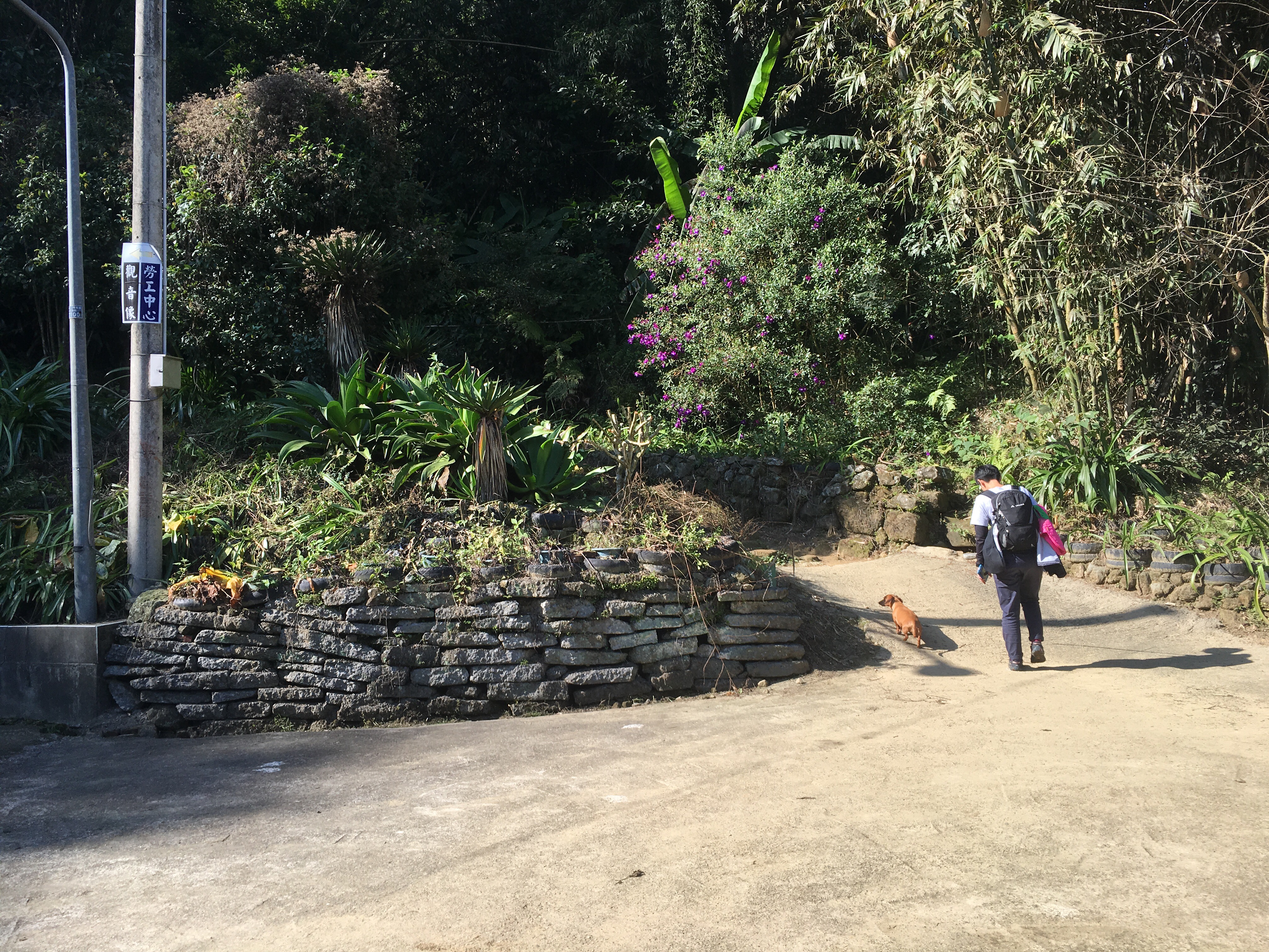
We parked the scooter just off the main road next to a small Tudi Gong temple. Taoyuan’s tourism website excitedly proclaims that inside the temple is a rare figurine of Tudi Gong’s wife holding a son and indeed there is! I didn’t photograph her as I didn’t feel like disturbing the gods today but it’s worth a quick look – I hadn’t considered it before but I don’t think I’ve seen many (or any) female icons since I’ve been in Taiwan.
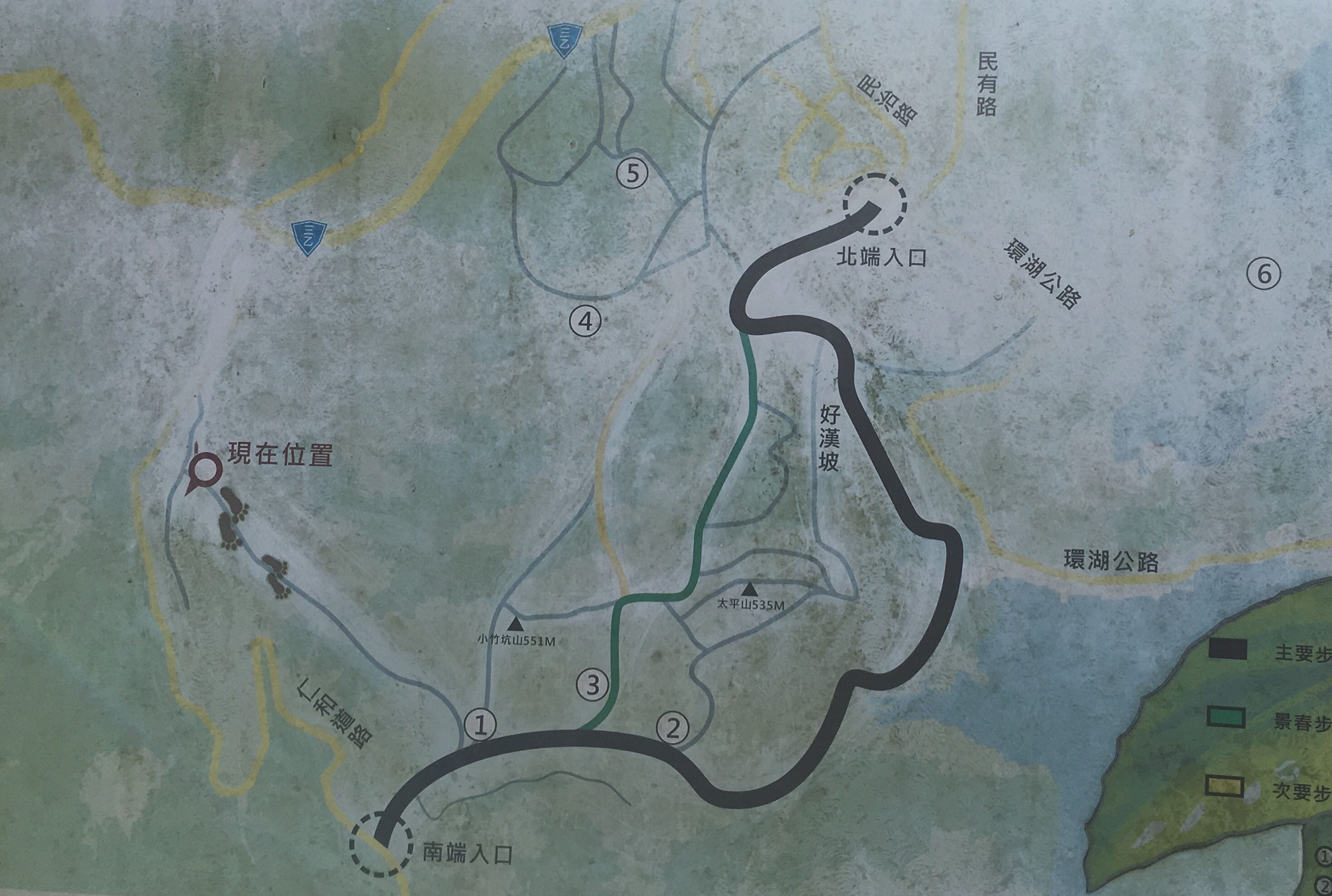
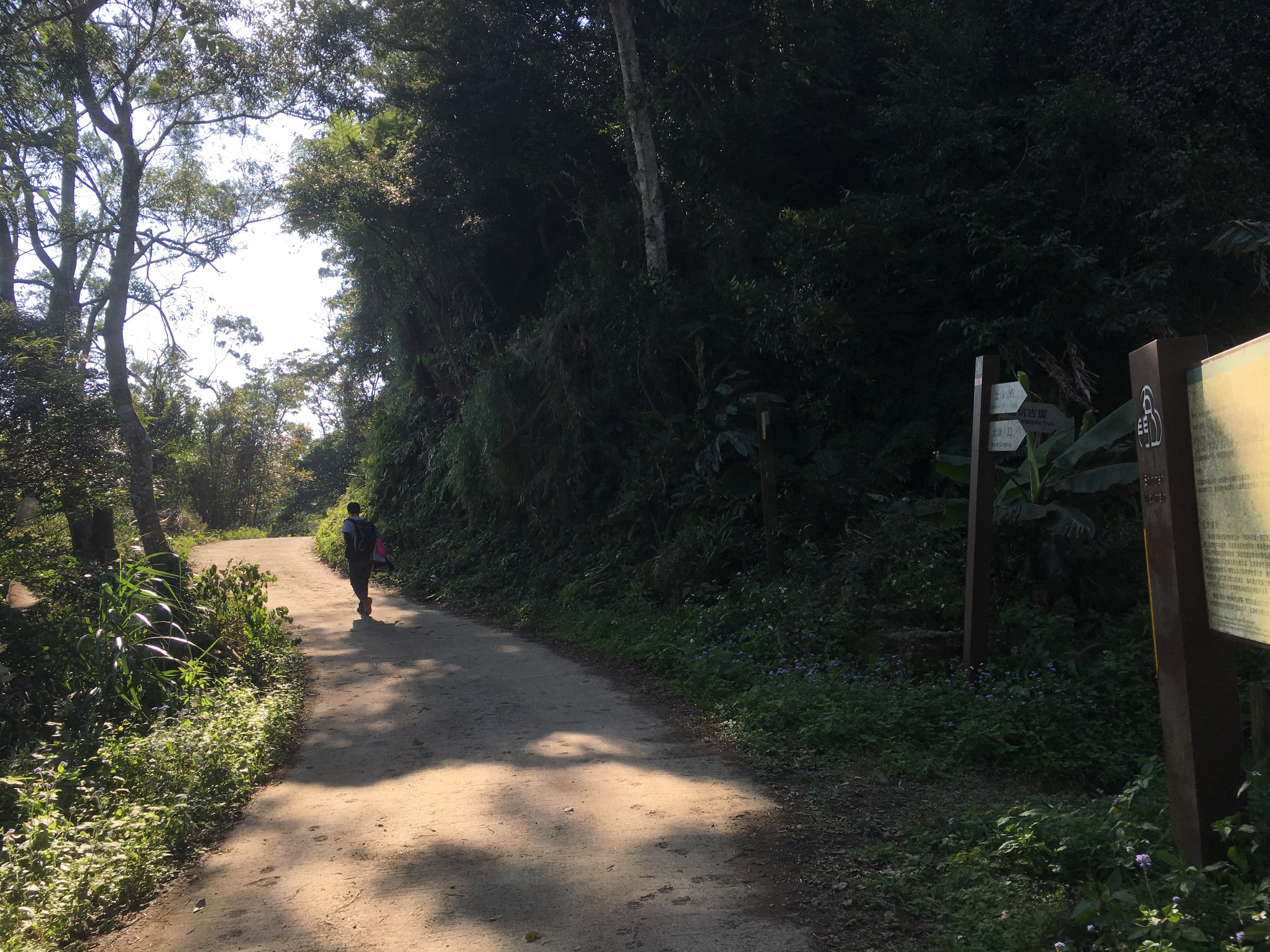
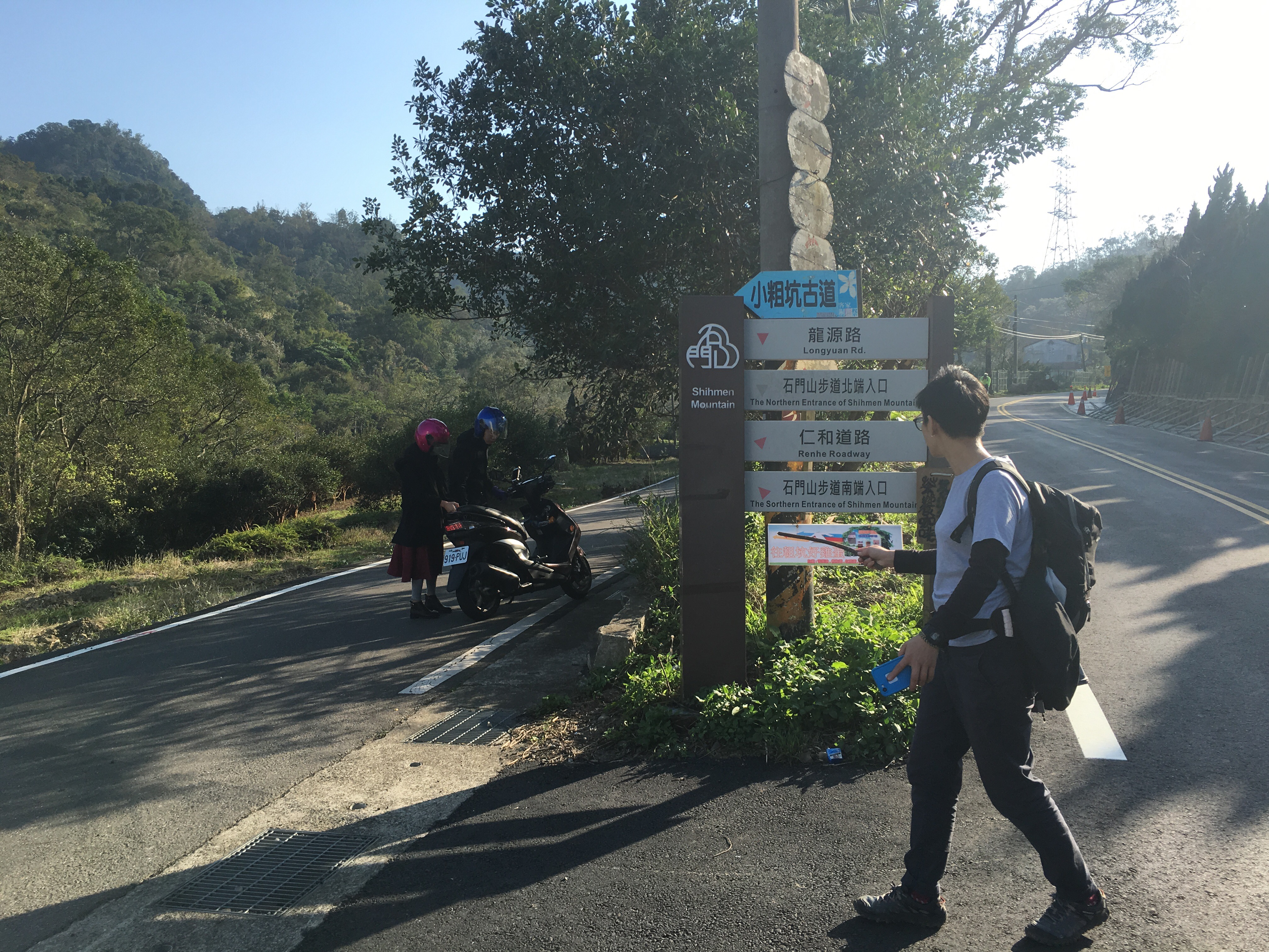
These maps are at most of the junctions on all the trails in the area and they seem to be pretty accurate for a change. We started from the grey footsteps up to point one, then along the black road, turned left onto the green trail, left again up to shimen shan and back down to point one. From there we walked along the black road until it joined the yellow road and followed that all the way back to where we started – kind of like a lopsided figure-of-eight.
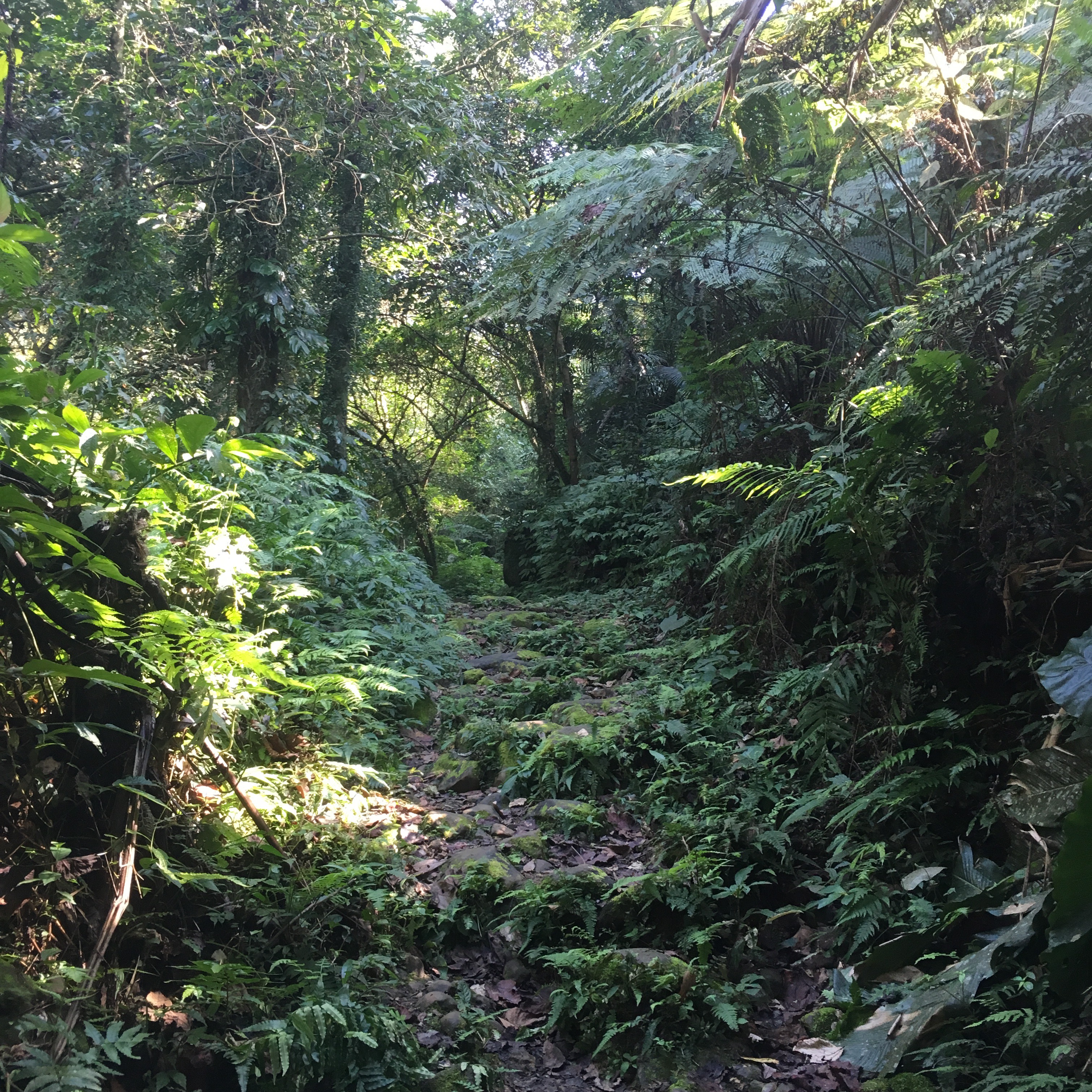
The grey section was the most challenging – I have no idea how this was previously used as a cattle path, they must have been hardier cattle than I’m used to seeing back home!
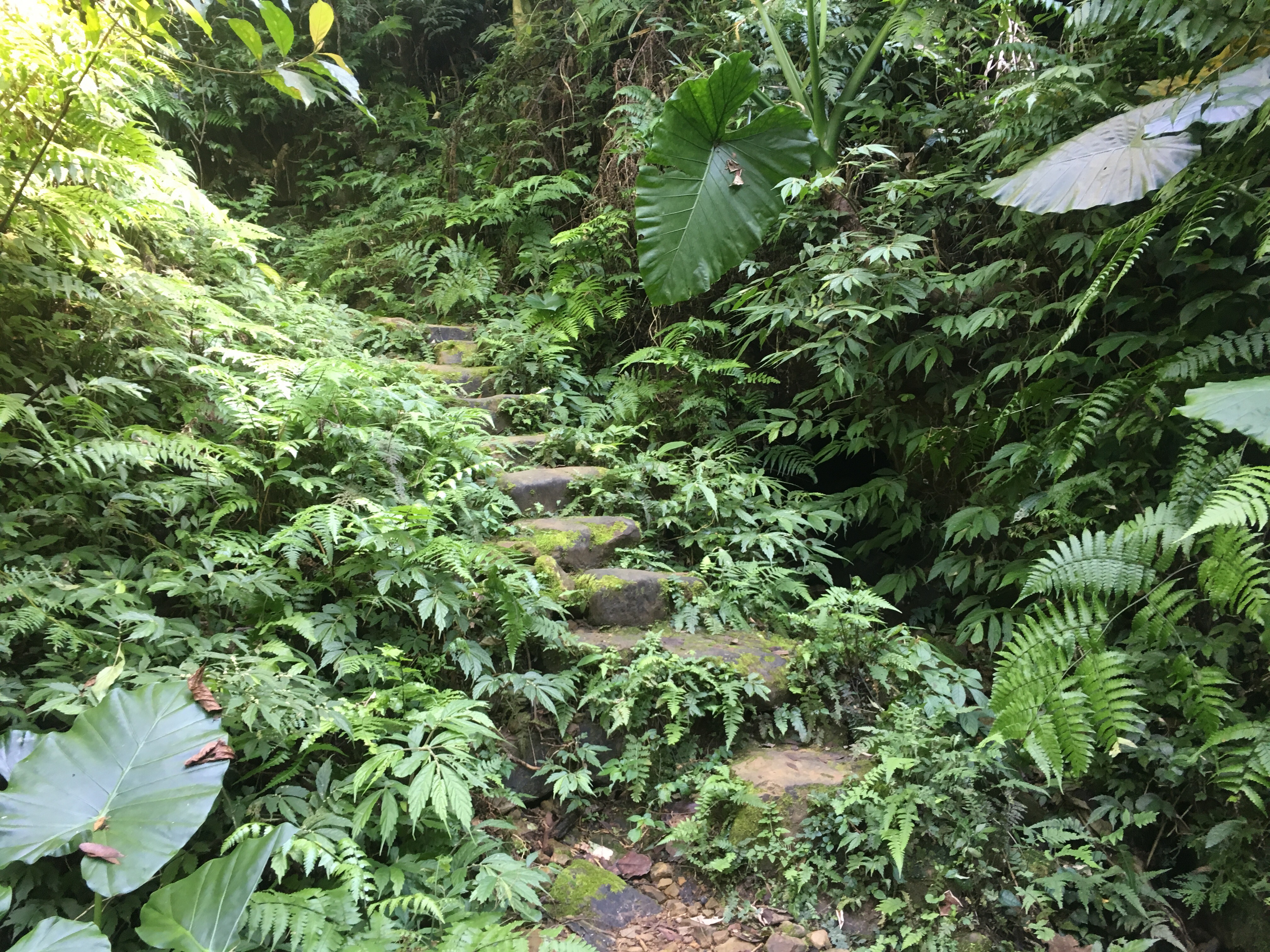
At about 25 minutes in we came to a clearing with the remains of a pulled-down brick structure. The path continued out of the clearing up neat old stone steps.
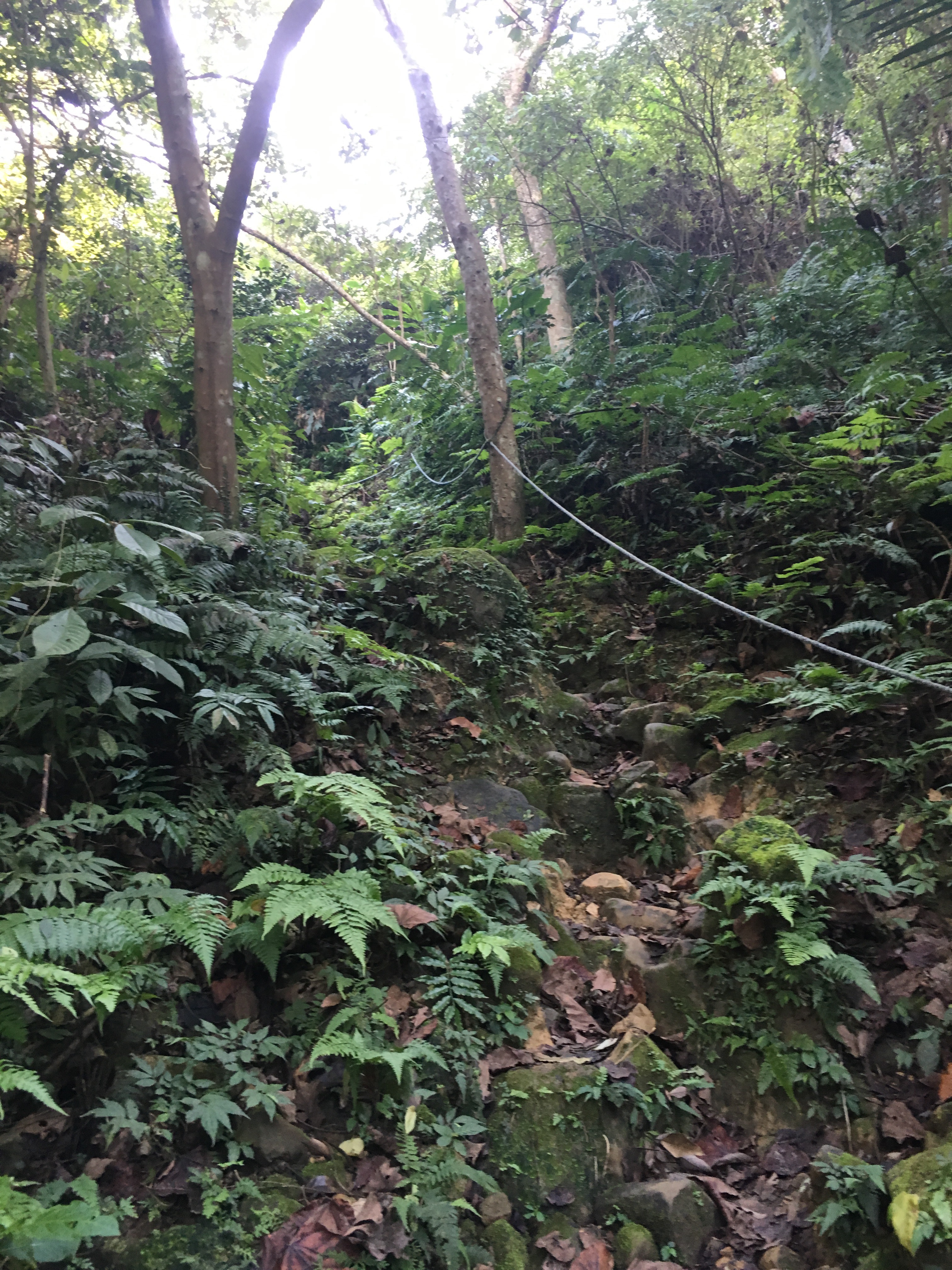
The last part of the grey section was quite a scramble, I ended up not really needing the rope but if the ground was wet it would be helpful.
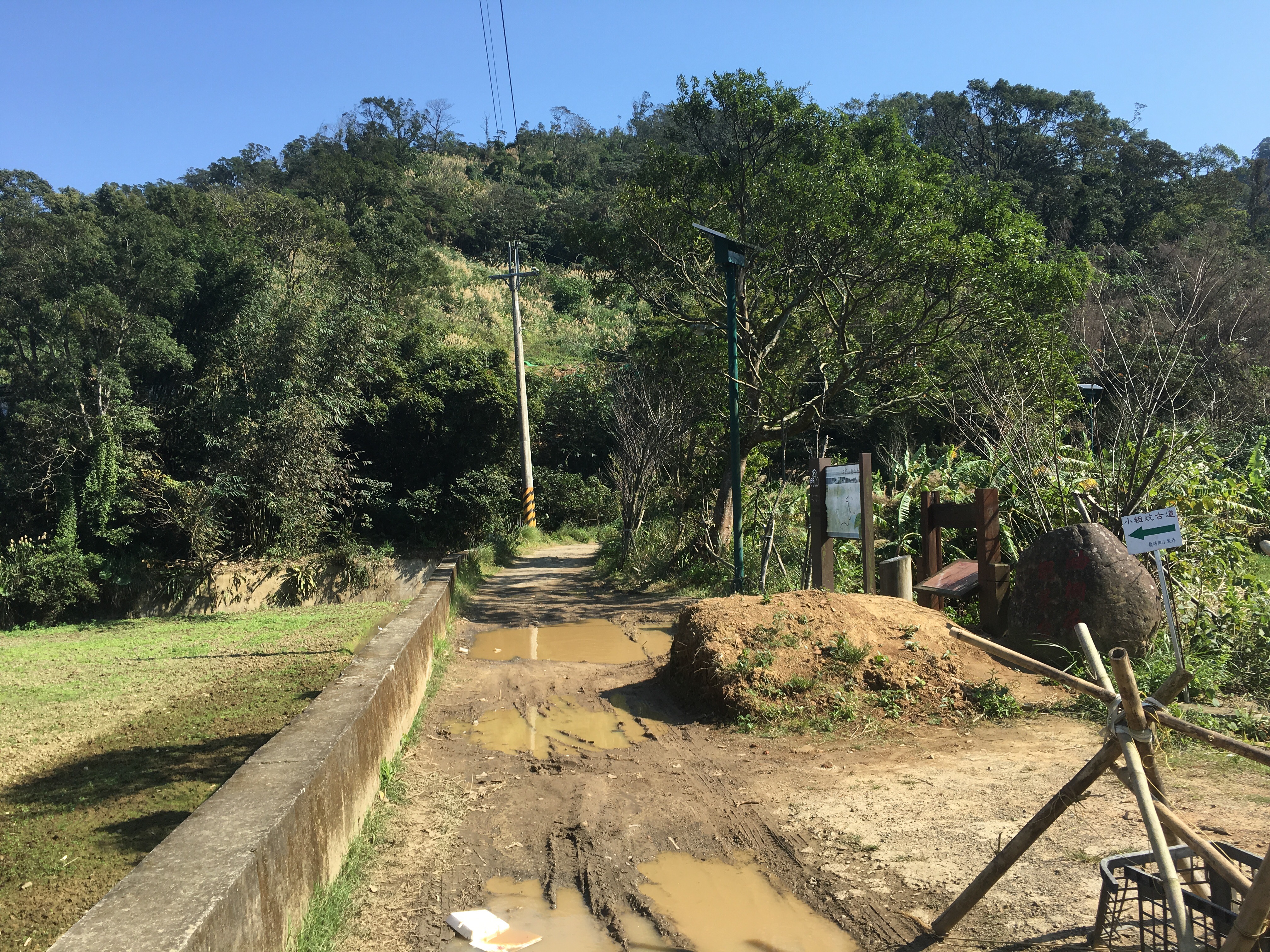
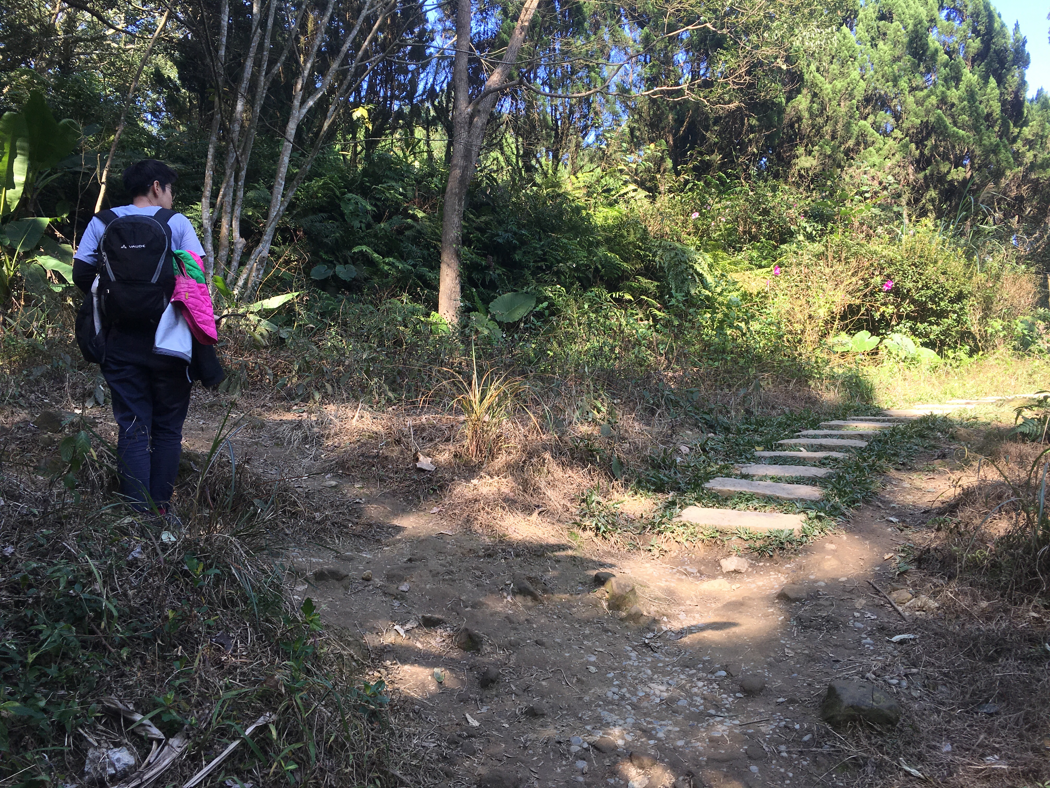
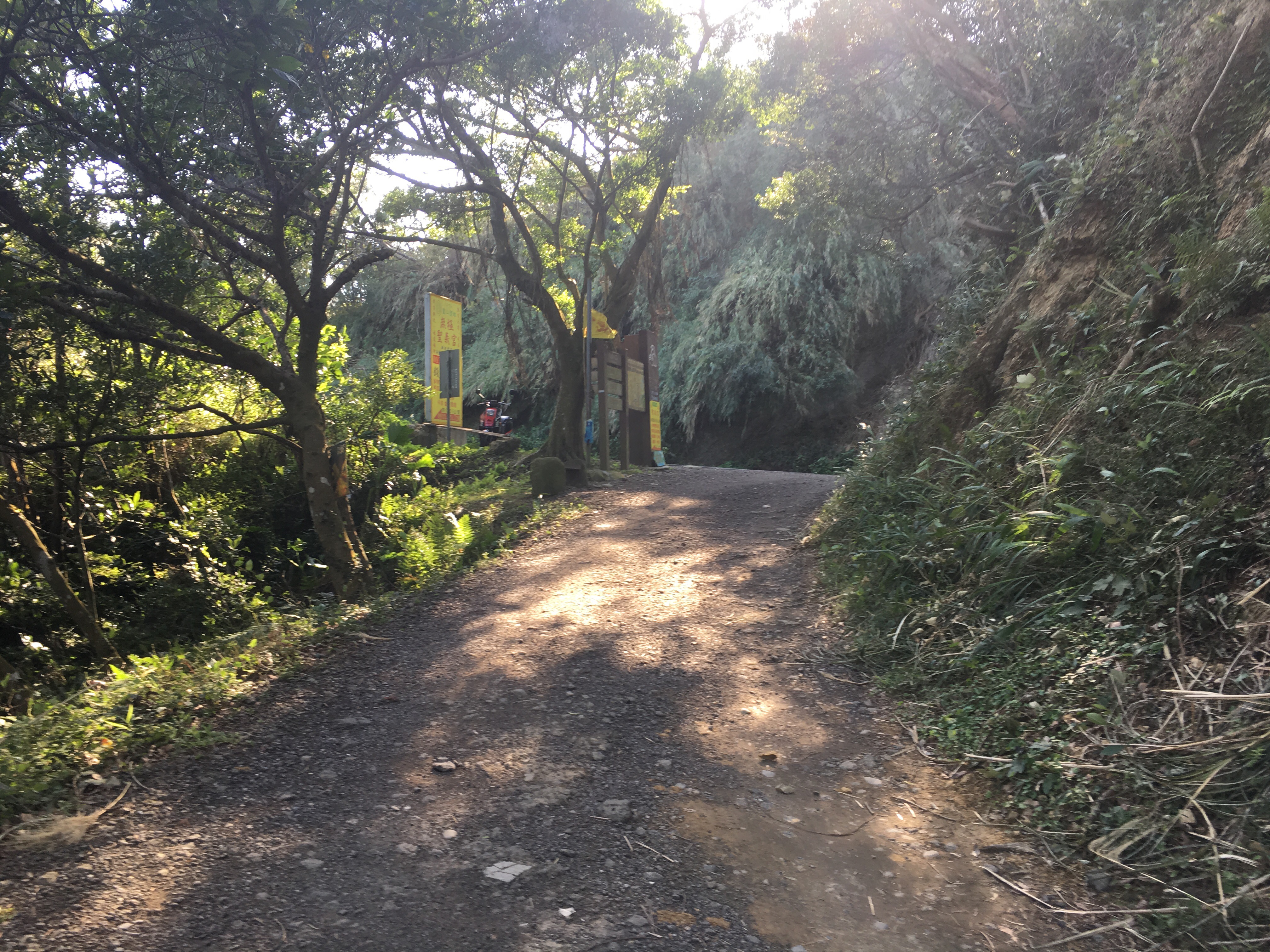
After the steep section, the emerges onto a narrow road and we turned left towards the sounds of outdoor karaoke.
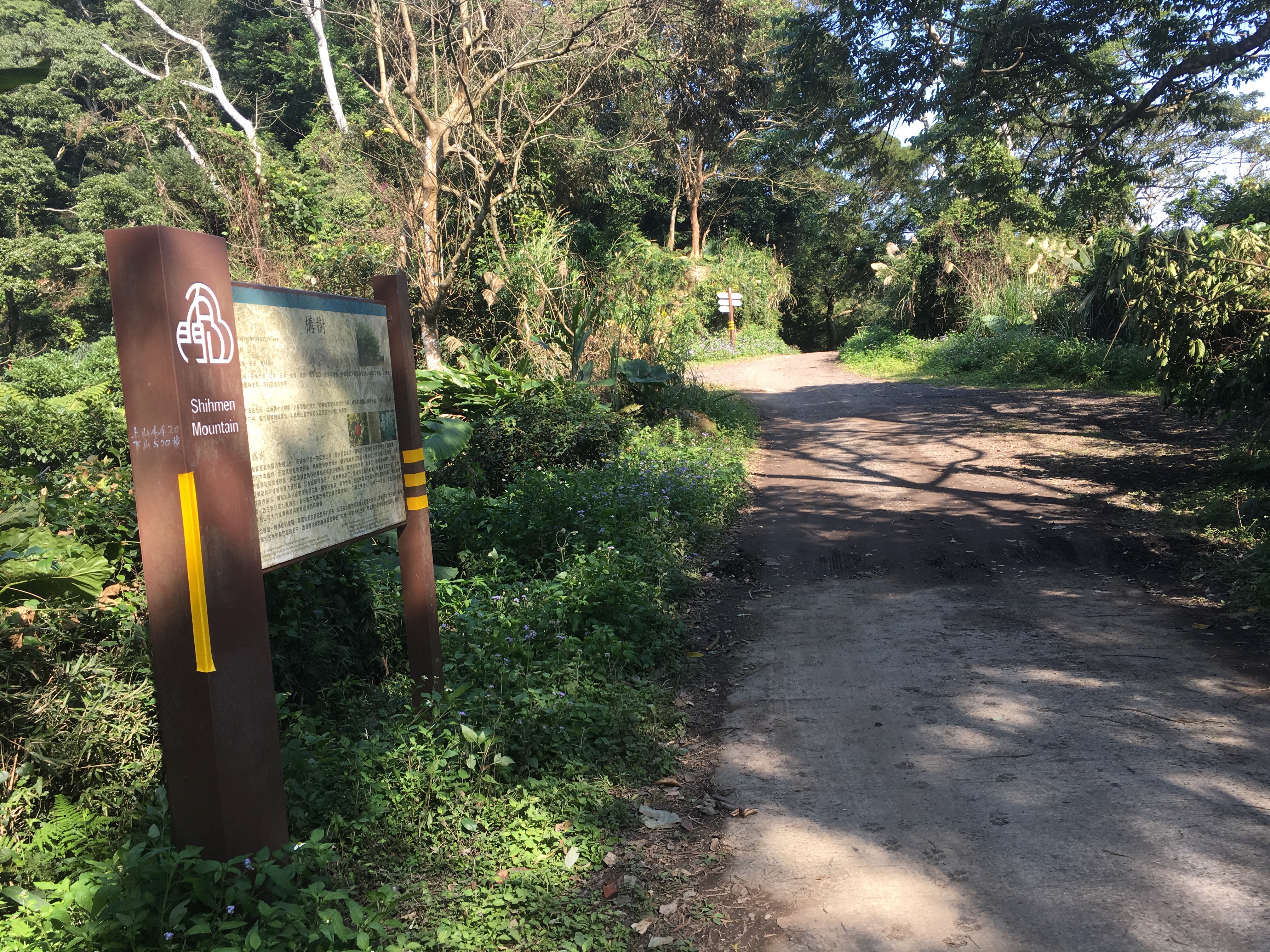
We continued on the road following the sign to ‘Chinese Earth God Temple’ – the path on the left goes up to shimen shan, (we came down via this path later).
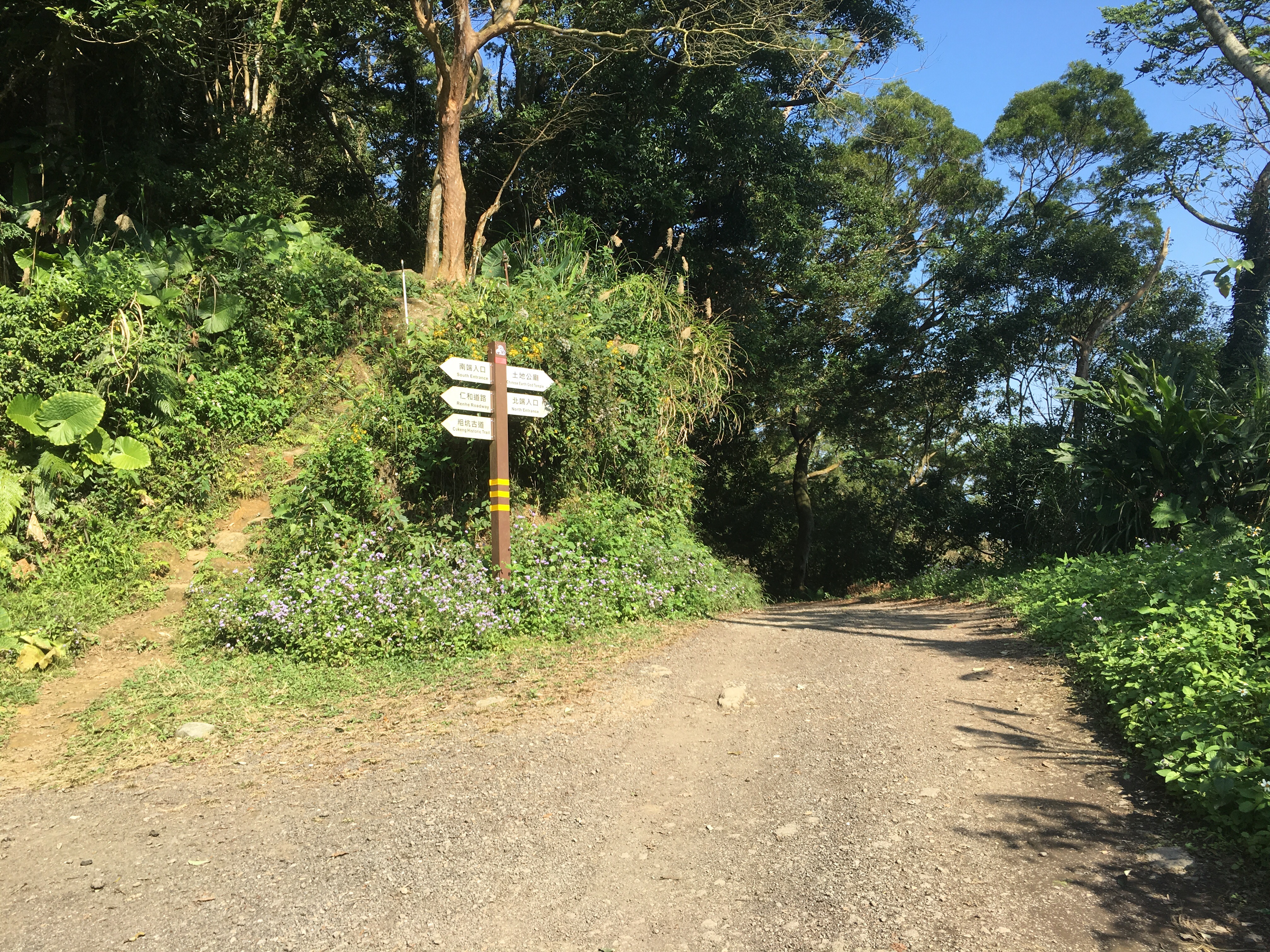
At the next diverging of paths we looked at the map for a while and (with the help of a local old couple), decided to go up to the top of Shimen hill and loop back the way we came rather than try to go father than we’d be able to do with the remaining light. So we went left uphill past a couple of farm buildings and a small temple.
* They also advised us that if we were hungry or thirsty we could continue along the right hand road instead to another temple where we could get snacks and drinks but since we’d got our own snacks we decided not to. (At least I thought we’d decided not to, later I found that Teresa had decided that she wanted extra snacks but had failed to tell me until we were too far away to turn back.)
Where the road ends we followed the small path going up.
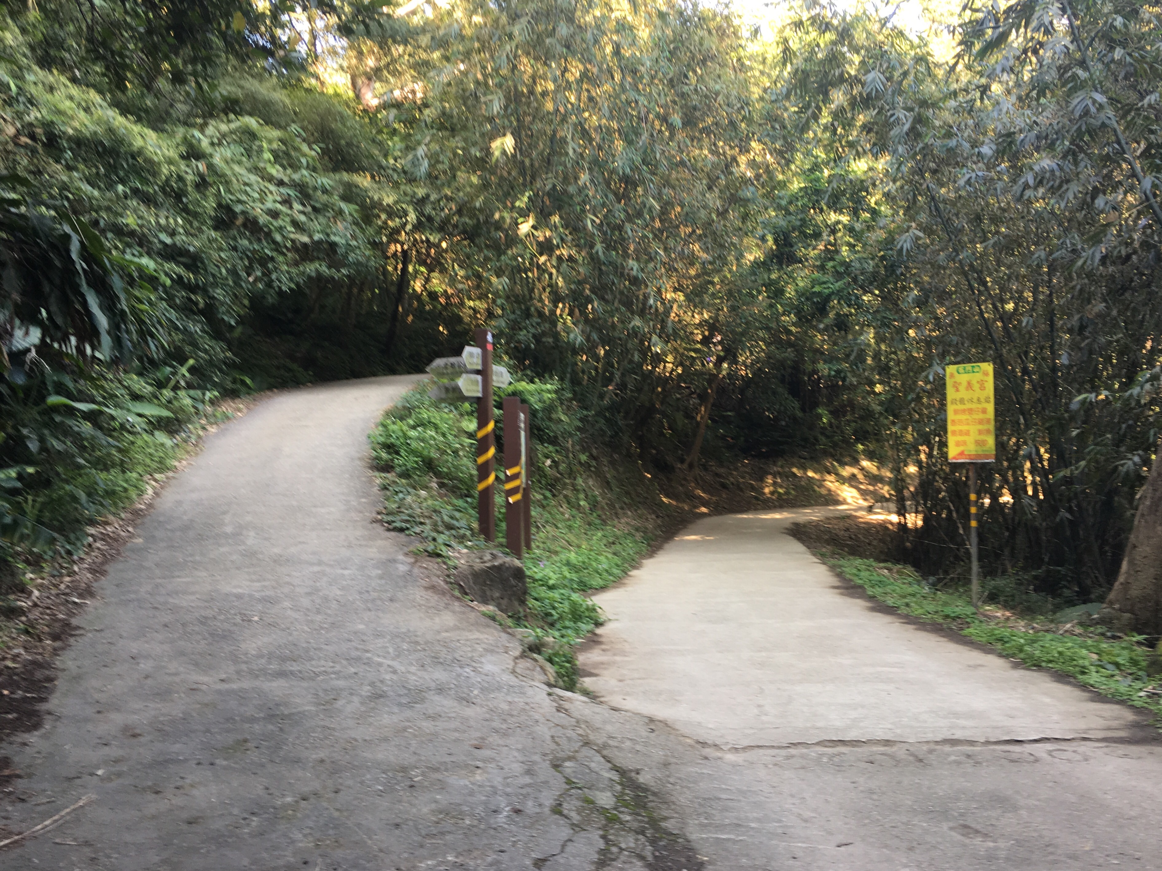
It quickly comes to this junction, we turned left uphill towards shimen shan.
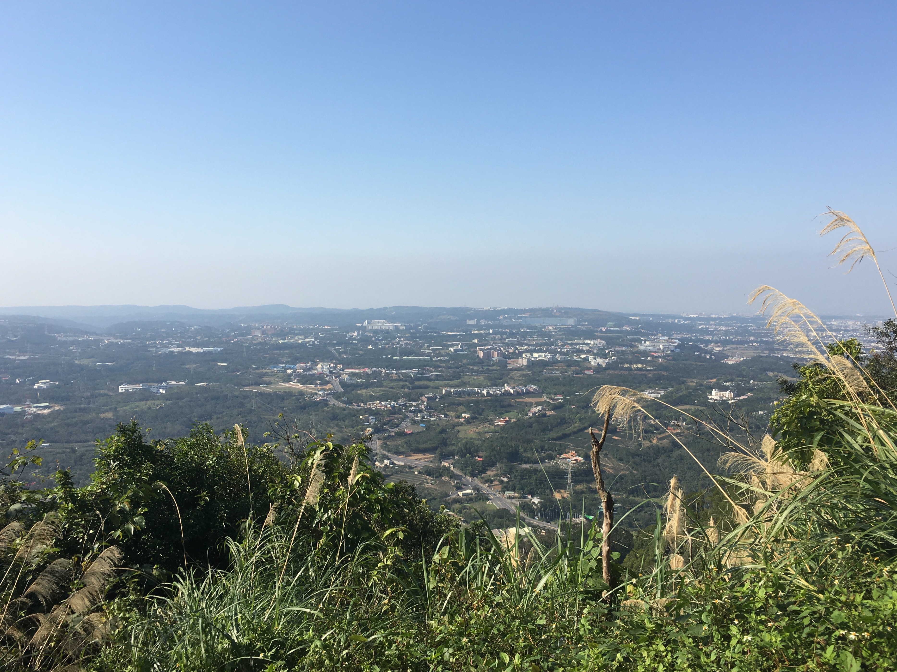
It’s not far, maybe a couple of hundred metres to the top. About 20 metres from the summit the path splits in two but both directions go to the same place so it doesn’t matter which you choose. Once there we took a little time to appreciate the view of Longtan District and replenish. We also found a geocache here, (GC46ZVD).
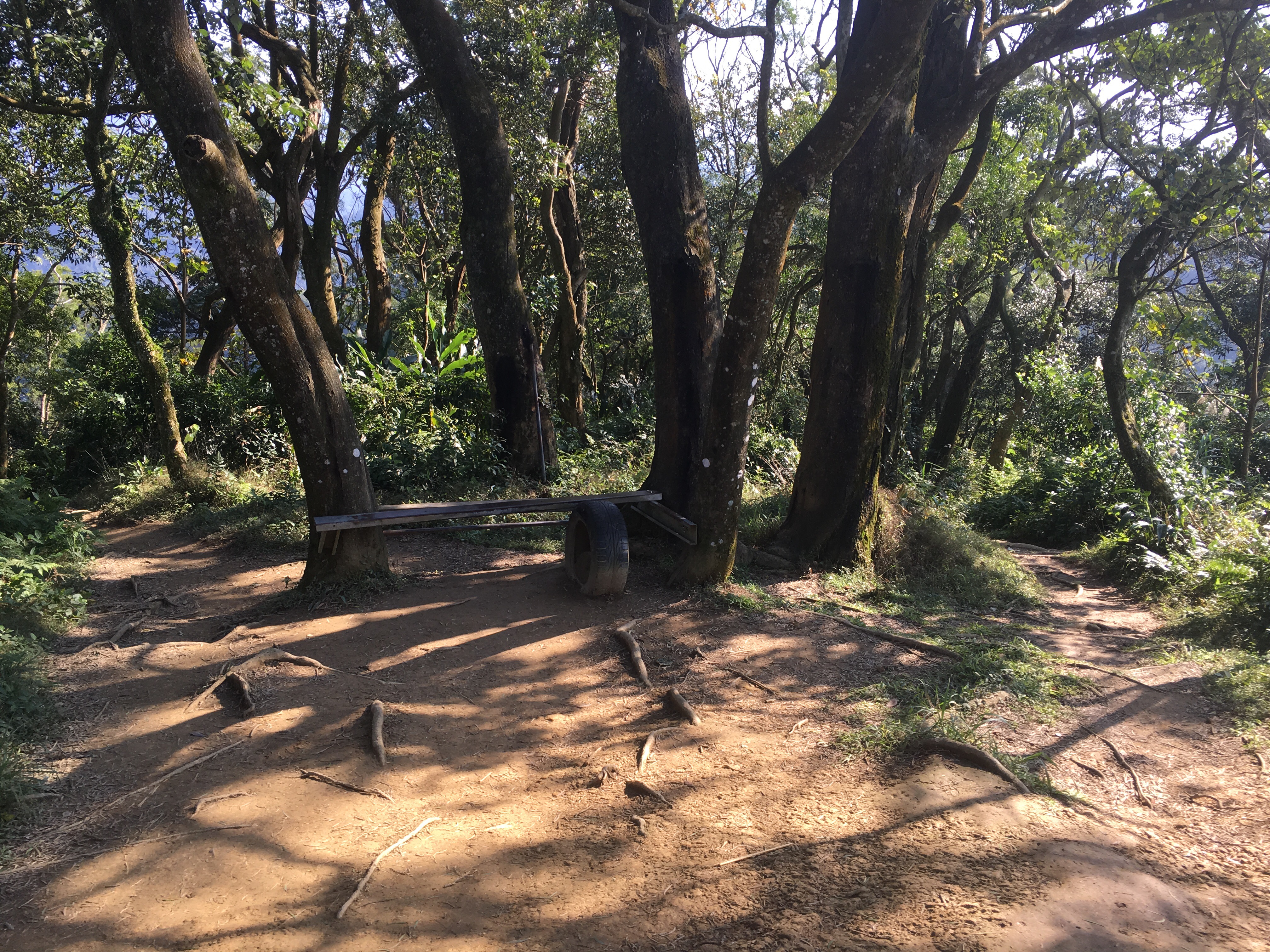
When we were ready to head down we went to the more western end of the clearing and headed down to the right of these trees. (The path on the left goes back the same way.)
After climbing down we found ourselves back at the spot where we had first met the road. We could choose to go back the same way we came or continue along the road – we chose the latter so that we didn’t need to carry Xiao Pang down the steep bits.
The small road joins a bigger road after five-ten minutes walking. We turned right heading downhill and kept on this road for about half an hour – we passed a (closed) tourist farm, art restaurant and several small farms down in the valley.
As we neared the place where we parked we had to do a sharp turn to double back up the narrow road. We walked up next to the stream until we got back to the temple.
How to get there
Google maps address: 325, Taoyuan City, Longtan District, 高平村粗坑2鄰
GPS location: N24 48.740 E121 13.259
Public transport: sadly this walk doesn’t have good public transport – even the government website couldn’t come up with any routes.
My new words learnt on this hike were:
- 你會受傷 / nǐ huì shòushāng / you will hurt yourself or you will get hurt
- 細菌 / xìjùn / bacteria
- 線 / xiàn / line
