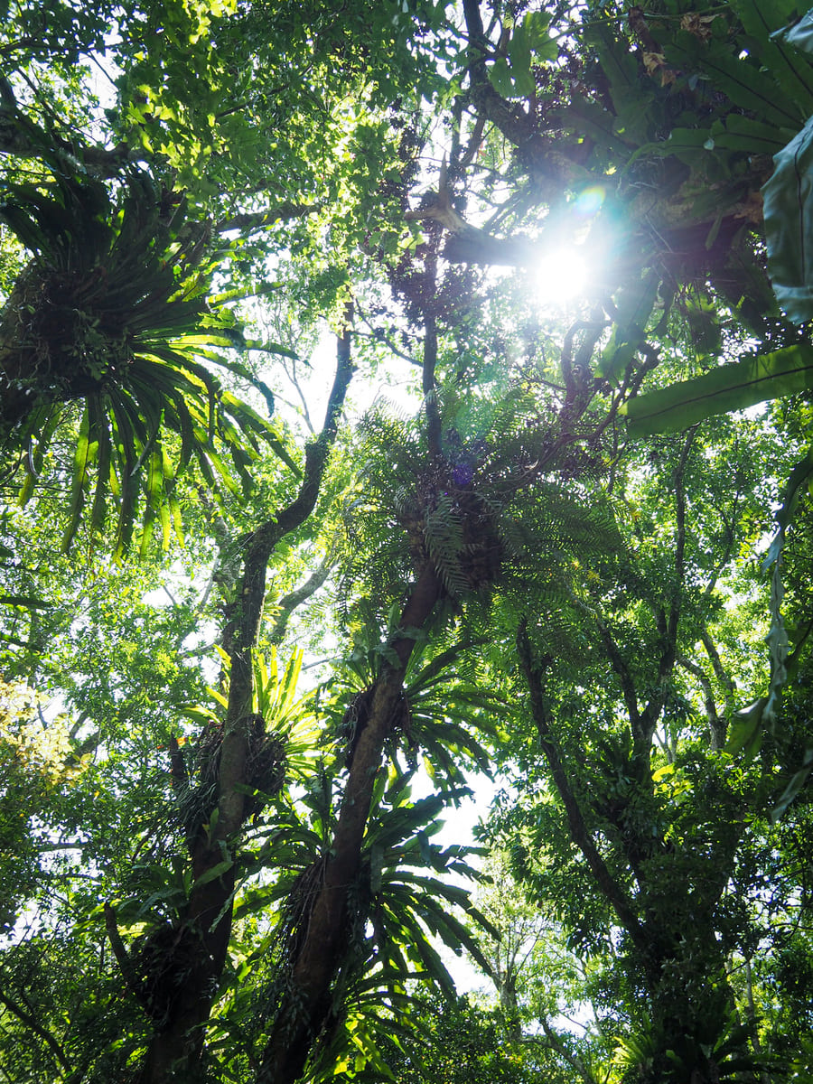
Manyueyuan National Forest Recreation Area is one of 19 such parks occupying space among the leafy hills of Taiwan and one of only two within the bounds of New Taipei City (the other one is Neidong National Forest Recreation Area over towards Wulai). As with the majority of these FANCA-run facilities, (Forestry and Nature Conservation Agency), the trails are well-planned and kept in good condition, making these beautiful landscapes accessible even for people who aren’t usually at ease in the great outdoors.
The park’s maps outline several trails, all bar one of which can be completed as part of a day’s exploration in the area (the final one is Dongman Trail — a longer trek that joins Manyueyuan with Dongyanshan National Forest Recreation Area just over the border in Taoyuan).
It’s also worth noting that, thanks to its location in a shady stream valley well outside of the heat island of Taipei basin, temperatures here are often a few degrees cooler than in the city, meaning this is an excellent place to escape to in hot summers.
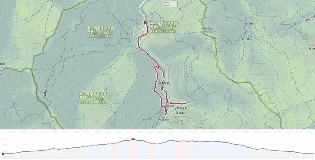
Distance: About 6 kilometres give or take.
Time: 2-3½ hours — How long you spend will depend on whether you visit all of the park’s various trails, whether you study the visitor centre’s exhibits in-depth, and whether you stop to enjoy a snack at the café. Including transport, I’d budget half a day for this (if you have your own transport).
Total ascent: Around 320 metres.
Difficulty (regular Taiwan hiker): 2/10 — Some steep steps and a little bit of a logistical challenge if you’re coming by public transport.
Difficulty (new Taiwan hiker): 4/10 — Based on the facts mentioned above, this would be on the harder end of the easy hikes spectrum for people new to Taiwan hikes.
Risks and dangers: This is a very safe walk. The trails are well-surfaced and the signage is clear. There are also lots whole around.
Water: I took a 0.5L refillable bottle and drank all of it on a breezy day in May. There are water dispensers at the café and visitor centre and the café also stocks has a few snacks.
Shade: There’s dappled shade on this walk and if you visit outside of summer, you should be OK with just a lick of sunscreen.
Mobile network: Coverage is pretty good.
Enjoyment: This walk is excellent for people who want to be able to get out into nature but who are perhaps a little afraid of making the first solo steps. It’s a very rewarding walk in surroundings that are safe enough for even solo hiking newbies.
When to visit: It’s worth your time year-round, but the park has certain seasonal characteristics that draw in the crowds. June to September is butterfly season, while December is the peak time for viewing the maples.
Bathroom facilities: There are toilets at the park entrance, at the visitor centre, the café, and near the end of Manyueyuan Waterfall Trail.
Route type: Lollipop loop with a couple of extra spurs.
Permit: None needed, but tickets are required to enter the park.
Jump to the bottom of this post for a trail map and GPX file.
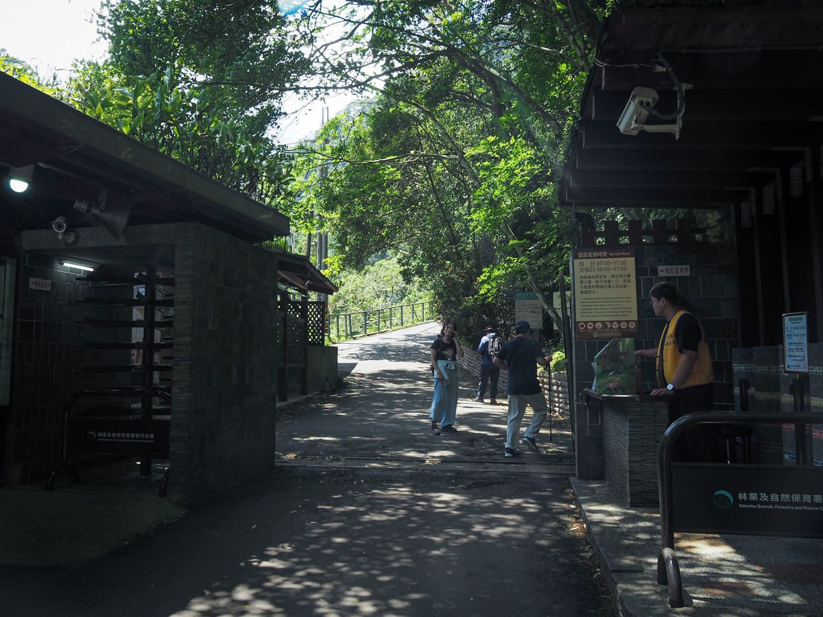
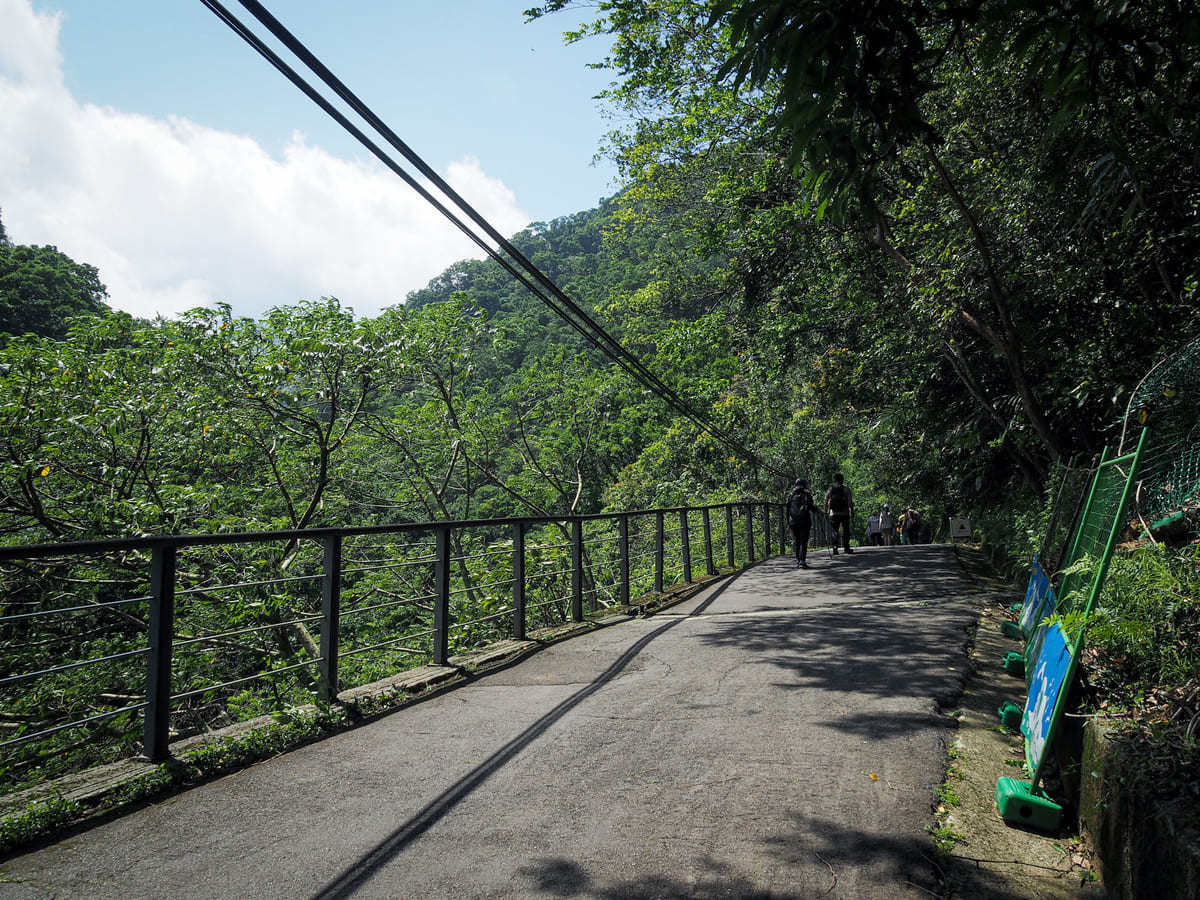
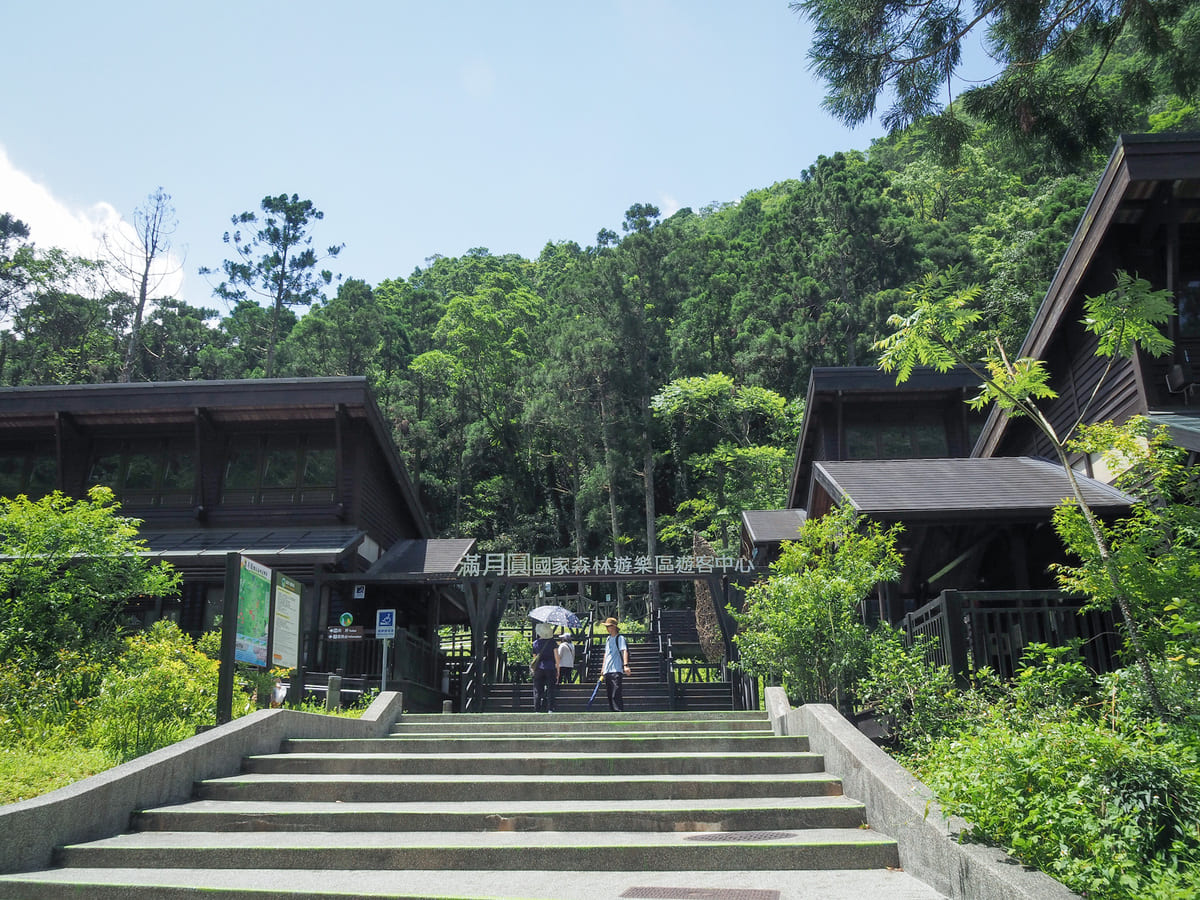
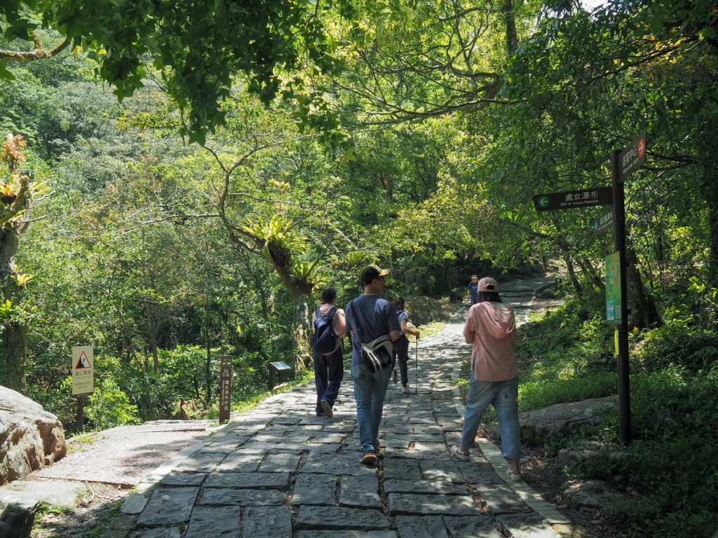
At the ticket booth, I picked up a copy of the park map before making my way up the main trail/ road leading deeper into the forest.
After a short time, we passed the northern entrance to the Self-Guided Trail on the right. (This route connects with the main waterfall trail up at the innermost reaches of the park.)
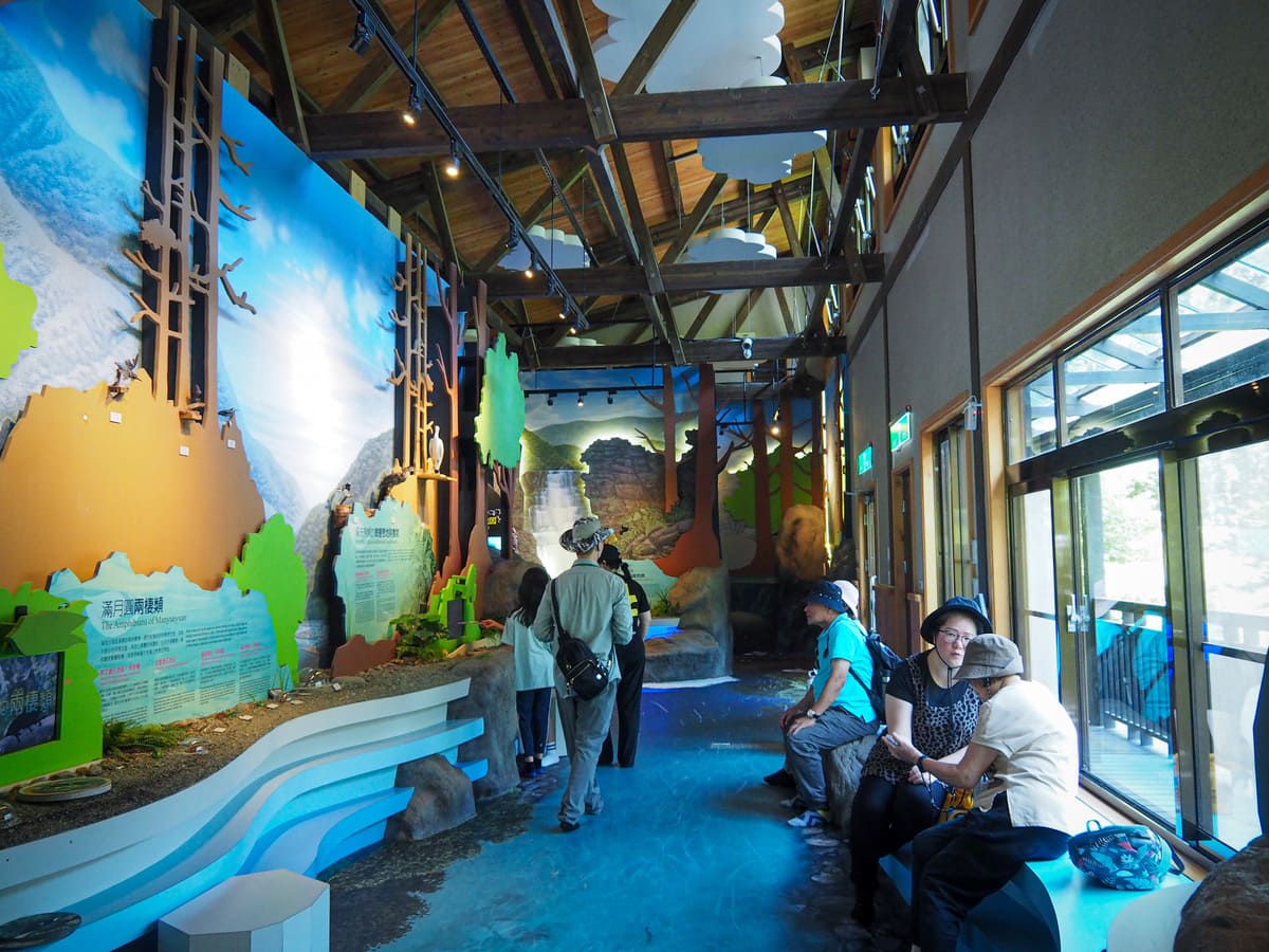
The next point of interest is the spread-out visitor centre. The three timber buildings contain exhibitions introducing the parks butterflies (there are many, many species that can be seen in Manyueyuan), its plants, and the ecology of Ruizai Creek (the waterway that flows through the park).
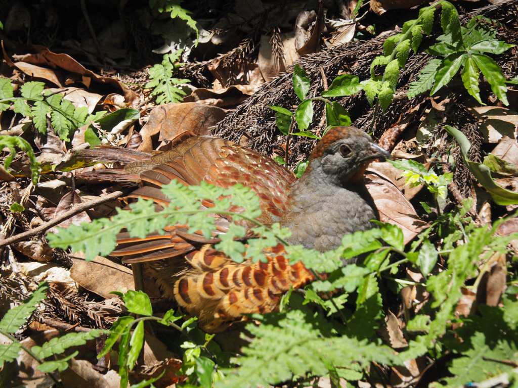
There’s a lookout platform not far from the visitor centre. I think it must have overlooked the river at some point, but over time, the trees have encroached and now all you’re viewing is the forest with small slivers of waterway beyond. Despite the disappointing view, I was glad to have made the trip down to have a look because it meant that I was able to meet this little nugget of cuteness. Bamboo partridges are generally quite flighty, but in highly trafficked areas like this park or the Mount Qixing Trail, they can grow pretty tolerant of humans. This particular one was so relaxed that — after an initial moment of hesitation, it plopped itself down and spread out its wing to sunbathe.
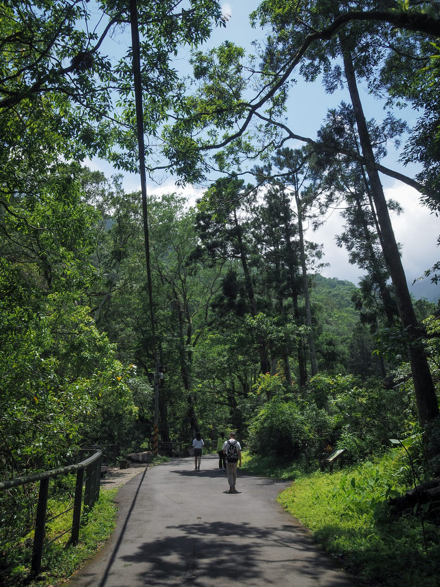
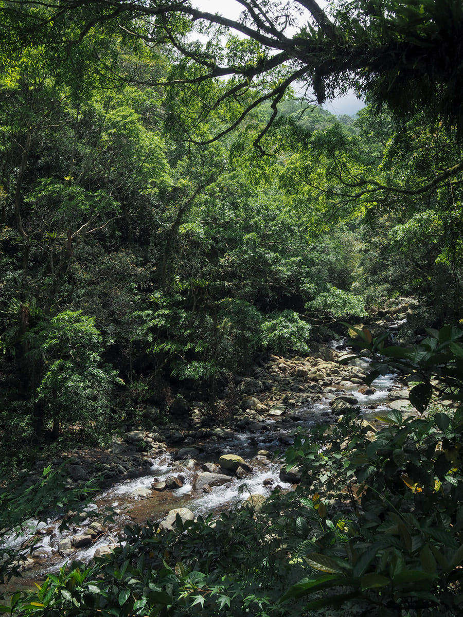
Sunny paths and Ruizai Creek visible on Manyueyuan’s main hiking trail.
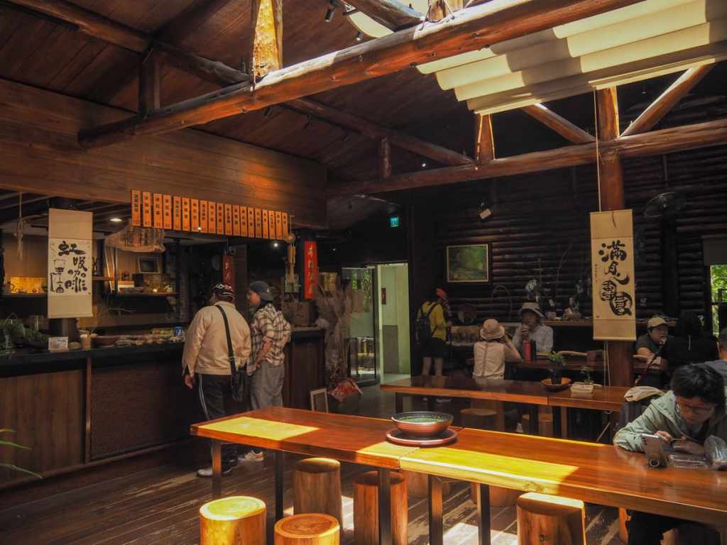
Pretty soon, you’ll pass the park’s one and only café. It was around lunch time when I passed through, so I had a simple lunch of sweet potato, edamame beans and tofu. (Meat eaters have more choices — there were also steamed buns, pig’s blood cake, noodles, even chickens’ feet if that’s your cup of tea.)
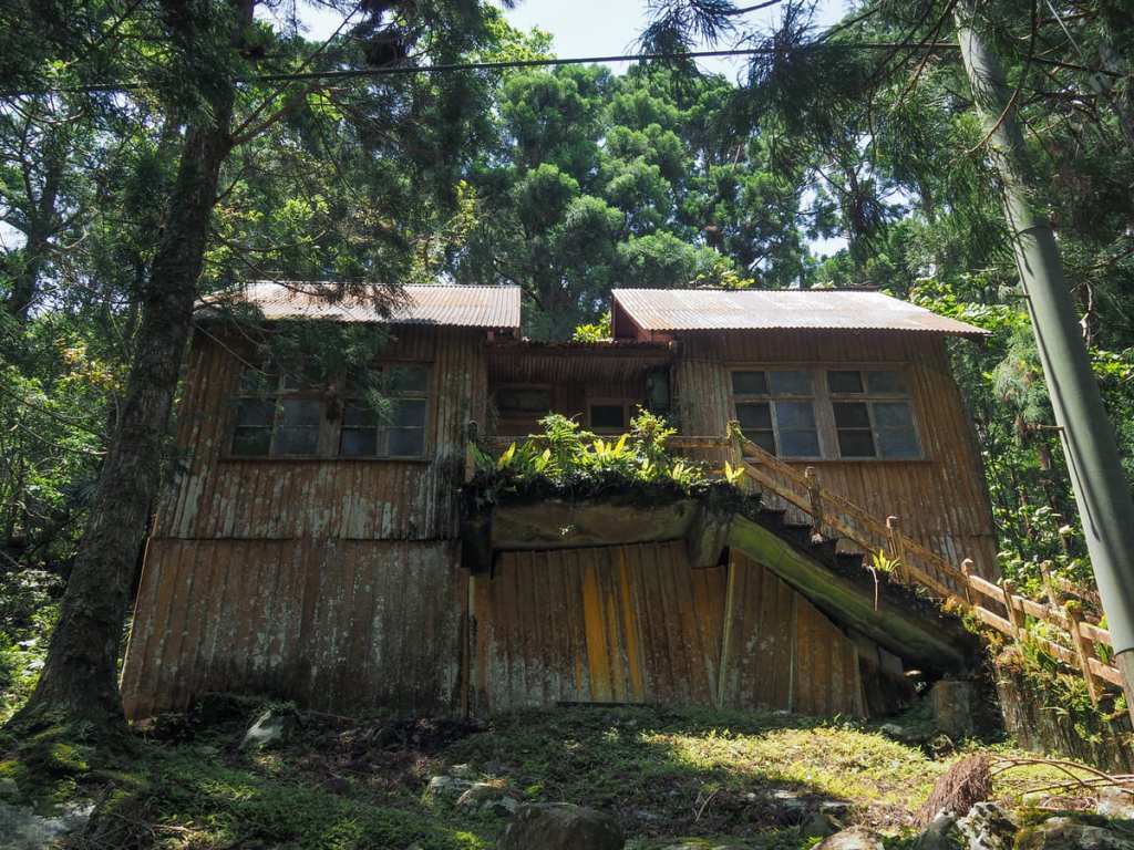
An old abandoned structure on the trail above the café. I read somewhere that it used to be another of the park’s educational facilities but it looks like it hasn’t been in use for quite some time.
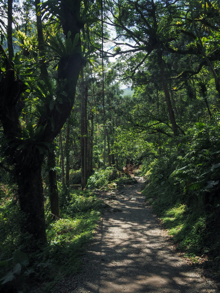
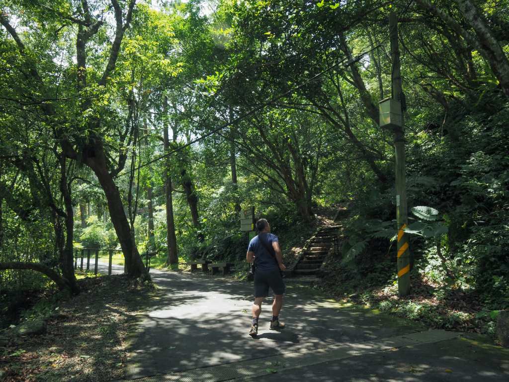
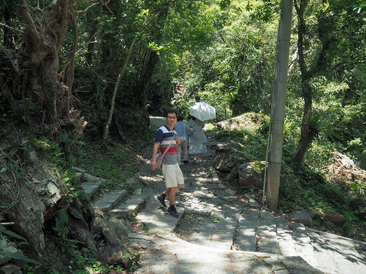
The trail gets a little harder once you’ve passed the café — asphalt is replaced by gravel and steps. But it’s also prettier and there’s more to stop and enjoy.
Look out for the junction where the paths to Chunu Waterfall splits from the one heading to Manyueyuan Waterfall.
The trail from the junction to the waterfall is about 500 metres long, and about half of that distance is up steep steps.
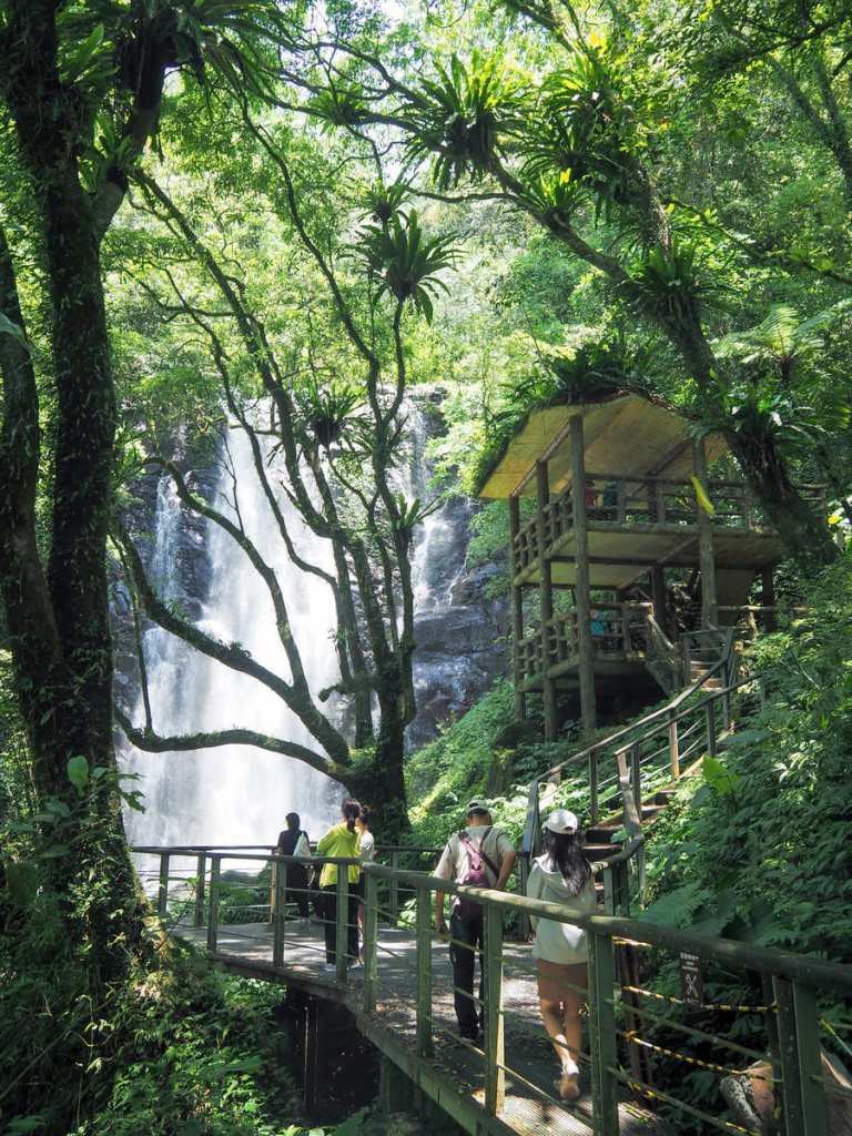
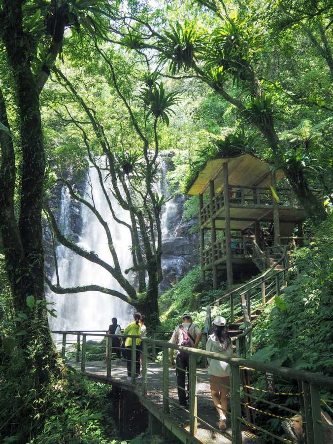
You’ll know you’ve arrived because the white sheet of water thundering down the waterfall is absolutely unmissable.
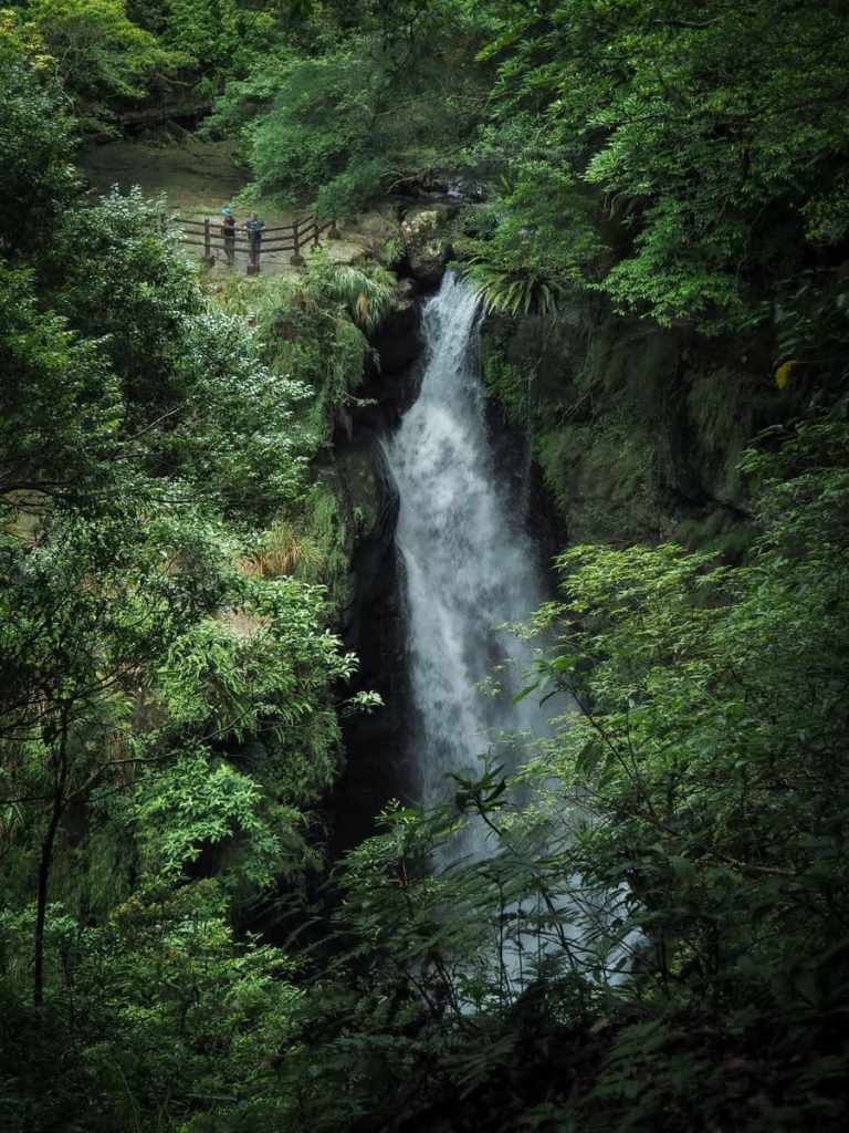
The name Chunu Waterfall is the Chinese name as rendered in the Roman alphabet. If you’re looking for a translation that matches the original meaning, Virgin Waterfall would probably be the closest you could get. This name comes from a story told by the Dabao clan (a division of the Tayal indigenous tribe with roots in the area), and it explains how they came to live here. The tale holds that a young Dabao man was once hunting deer and found himself on the tail of an albino doe. The doe picked her way around a bend in the creek and — fearing he’d lose his quarry — the young man hurried forward only to find the way ahead blocked by a towering, 25-meter high waterfall. Coming from behind the water, he heard the faint sound of song, and — looking closer — he saw a radiant beauty. Although half hidden behind the falls, he noticed that she was dressed in an all-white version of the traditional Tayal outfit. The man let out an exclamation of surprise, and the startled beauty vanished, leaving him alone in front of the waterfall. Later, upon returning to his tribe, he recounted what he’d seen, and tribal elders recognised the woman as the White Deer Maiden, a spirit who appears from time to time to lead the tribe to fruitful new hunting grounds. It was decided that she had led the young hunter there for a reason, and so the tribe migrated into the area.
From Chunu Waterfall, I retraced my steps as far as the main trail, then turned left to follow the path to Manyueyuan Waterfall.
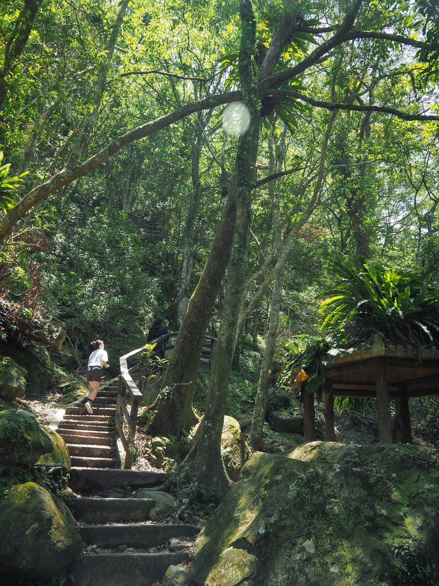
Shortly before arriving at the falls, there is a five-way junction. One paths on the right (which soon splits in two) leads to the Self-Guided Trail and Dongman Trail — the former heads back down to near the start of the park while the latter is a much longer walk that ends in Dongyanshan National Forest Recreation Area. Heading straight will take you to a waterfall viewing pavilion, while turning left takes you to the top of the falls via a bridge (and some more steps).
If it’s waterfall views you’re after, the viewing pavilion offers the best spot. From this vantage point, you can watch the water cascade over the upper edge and start to fan out as it drops to the pool below (to see the pool, you’ll have to head down to the bridge).
In the past, it was possible to stand right beside the fence at the tip of the falls (great news for photographers who like having people to add scale), but it looks like the park has since shut off access to this spot.
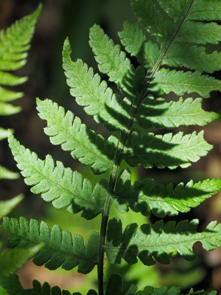
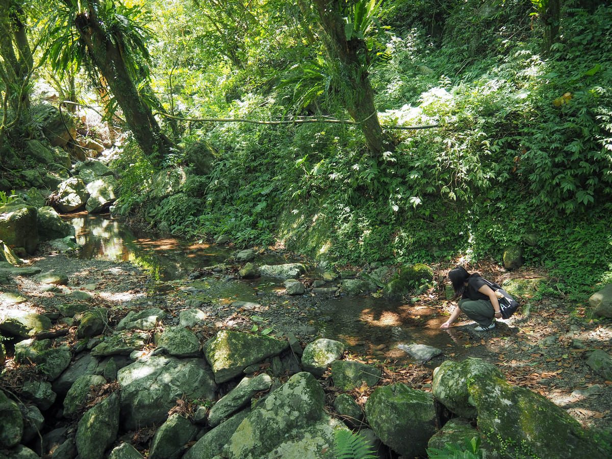
Some of the lovely fernery on the trails.
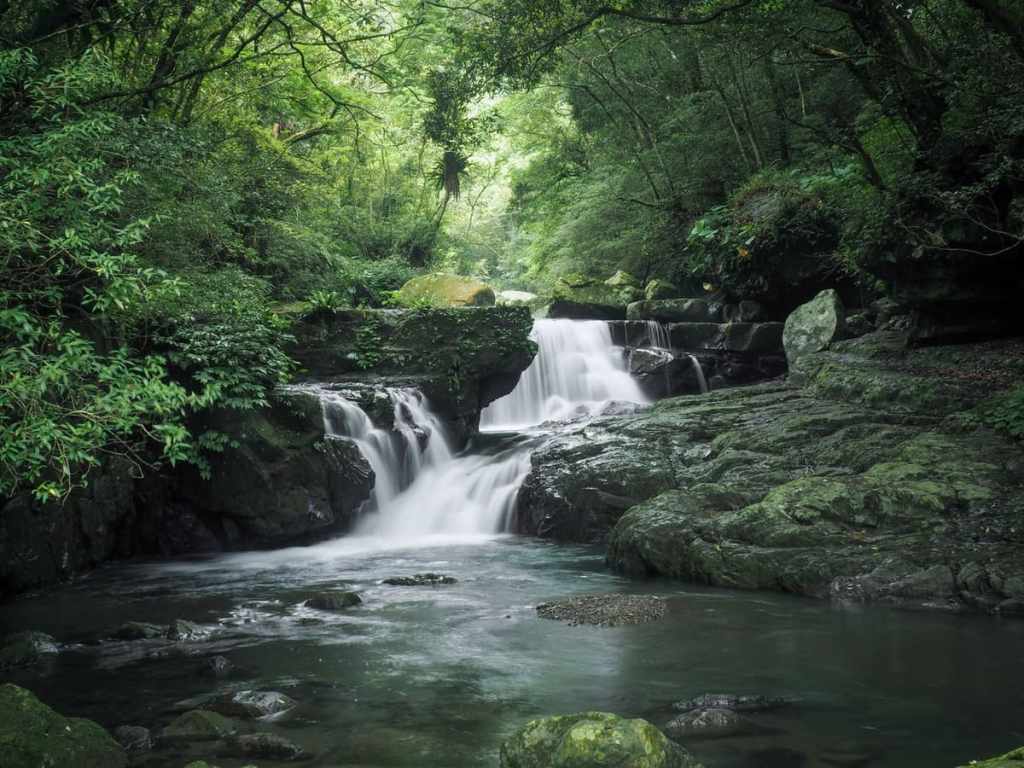
Even if you can no longer stand right at the top of Manyueyuan Waterfall, it’s still possible to get close to the park’s third noteworthy water feature, Silver Curtain Falls.
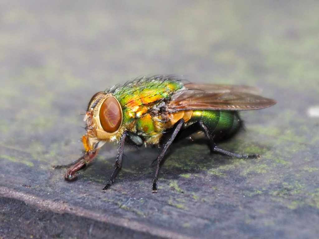
As I was enjoying the cool air generated by the waterfall, I noticed a pair of beautifully iridescent flies flitting around in a battle for territory on the railings. As always, it’s worth remembering that just as there is beauty in the big landscapes, there is also much beauty to be found in the little things.
How to get to Manyueyuan
Google Maps address: Manyueyuan National Forest Recreation Area sits at the end of County Highway North 115. There are free carparks that are connected to the park’s ticket booth via a riverside trail.
GPS location: N24 49.830 E121 26.680
Manyueyuan Public transport: There is only one bus route that serves Manyueyuan National Forest Recreation Area, the 807 New Taipei Bus that shuttles between Sanxia First Station and Manyueyuan’s lowest car park. There are several ways that you can travel to and from Sanxia from Taipei and the best one will probably vary depending on where you’re travelling from and what time you’re setting off. The most important element of the journey is the 807’s schedule, which is (at present) as below.
Sanxia First Station → Manyueyuan
| Weekdays | Weekends |
|---|---|
| 05:20 | 06:00 |
| 07:00 | 08:30 |
| 09:30 | 11:00 |
| 12:00 | 14:30 |
| 15:00 | 17:30 |
| 17:30 |
Manyueyuan → Sanxia First Station
| Weekdays | Weekends |
|---|---|
| 06:05 | 06:45 |
| 07:45 | 09:10 |
| 10:15 | 11:45 |
| 12:45 | 15:15 |
| 15:45 | 18:10 |
| 18:10 |
Nearby trails:
Manyueyuan Trail Map
GPX file available here on Outdoor Active. (Account needed, but the free one works just fine.)

thank you!
LikeLiked by 1 person