I’ve ridden up and down this stretch of road numerous times, and each time, the network of steps criss-crossing the winding lane winked enticingly at me. So with cherry blossom season getting underway again, and the early blooming trees of Pingjing Street at the top end of this trail, I figured it would be a good time visit. As it happened, this was a perfectly pleasant little adventure that would make a good low-effort, not-sure-what-to-do, last-minute weekend walk.
Distance: About 3.5 kilometres one way.
Time: About 2-2½ hours. If it’s cherry blossom season, you’ll probably want a little longer to walk around Pingjing Street.
Difficulty (regular Taiwan hiker): 2-3/10 – Quite a few steps, many of them a bit slippery.
Difficulty (new Taiwan hiker): 3-4/10 – The number of steps put this at the upper end of easy for someone new to Taiwan’s trails.
Total ascent: A little over 320 metres.
Water: I was fine with just a 0.5L on a cool January day.
Shade: On and off shade for most of the walk.
Mobile network: Mostly ok, but weak along the pipe inspection trail section.
Enjoyment: I wouldn’t say this is a must-do walk, but it was a pleasant walk for a day when I had nothing better going on.
Other: There are coffee shops at the top, but they’re not open 7 days a week, so make sure you check in advance if you plan to visit one.
Bathroom facilities: There aren’t any toilet facilities along the way.
Route type: Point to point (or there and back if you prefer).
Permit: None needed.
Jump to the bottom of this post for a trail map and GPX file.
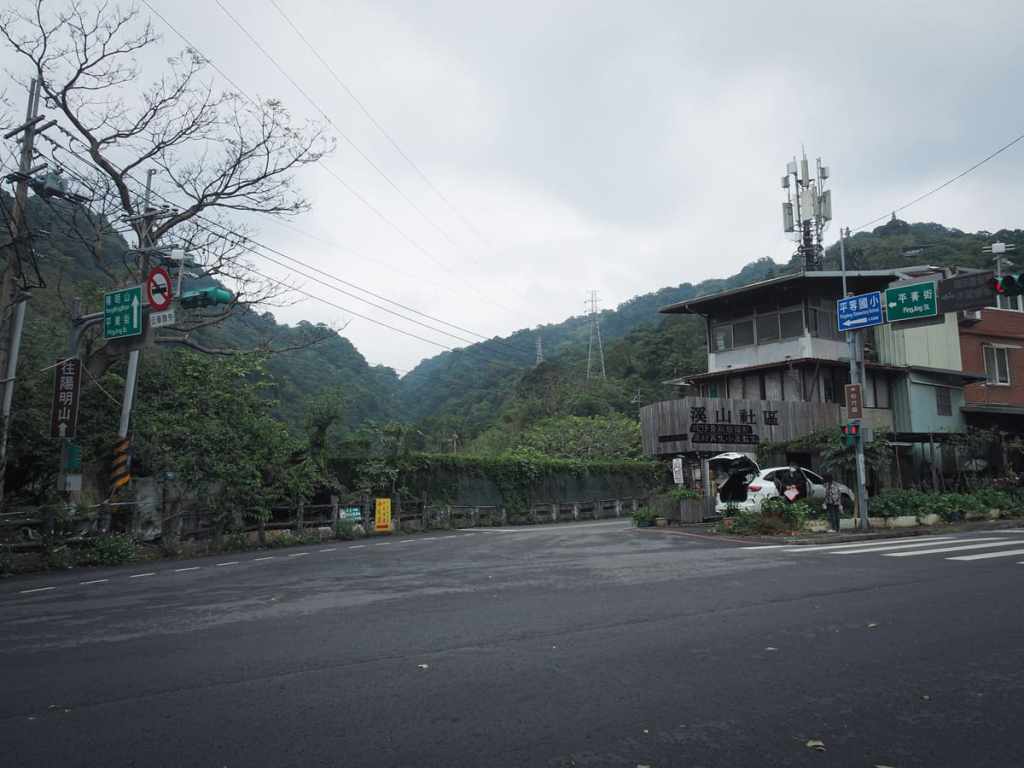
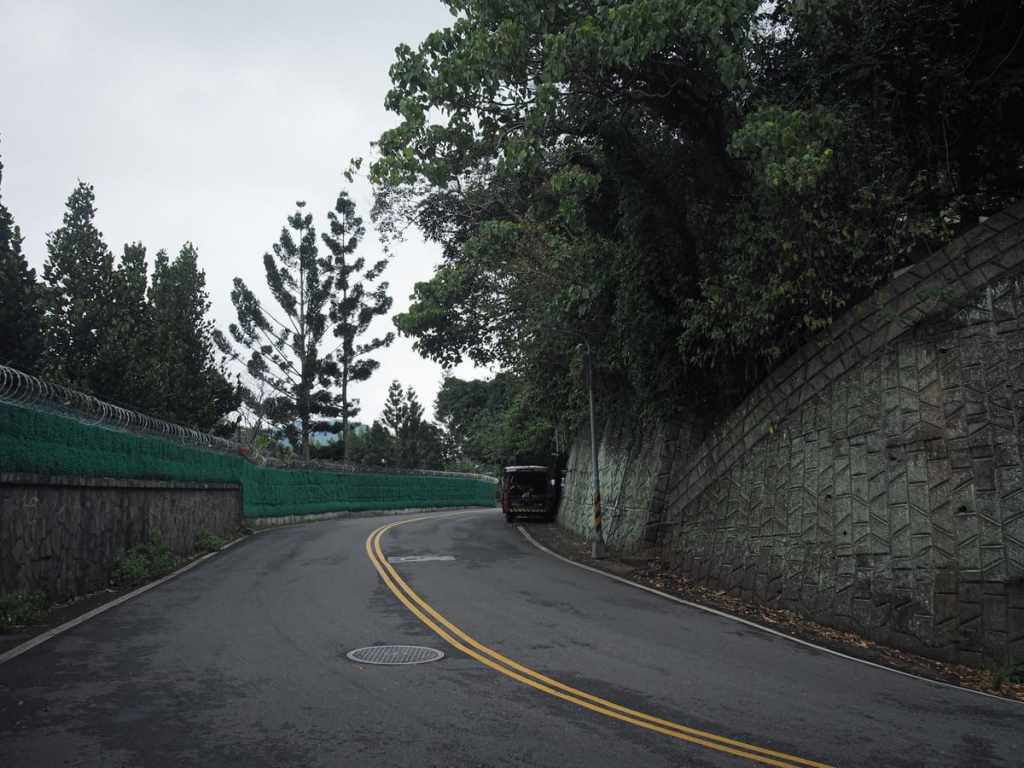
From the Zhishan Road bus stop, cross over and begin the climb with a short stretch along Zhishan Road, Lane 71.
Within a few minutes, you’ll reach steps on the left of the road with a marker indicating that this is the start of Pingjing Historic Trail (平菁古道).
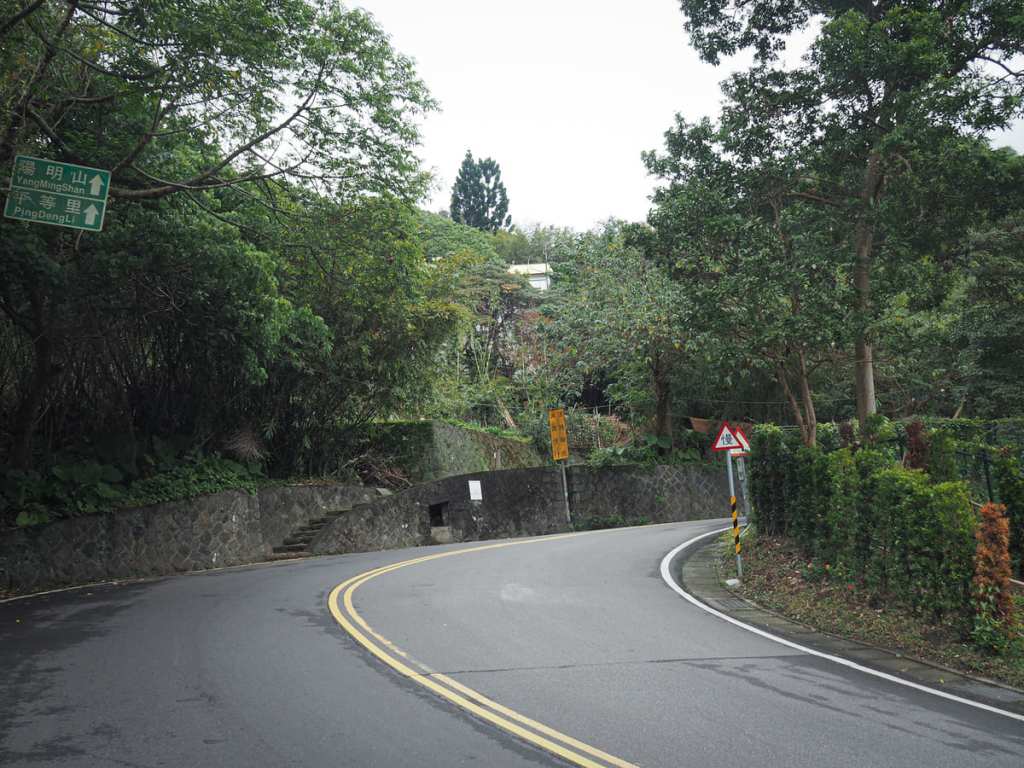
The trail soon pops out again a little further up the road and heads straight over.
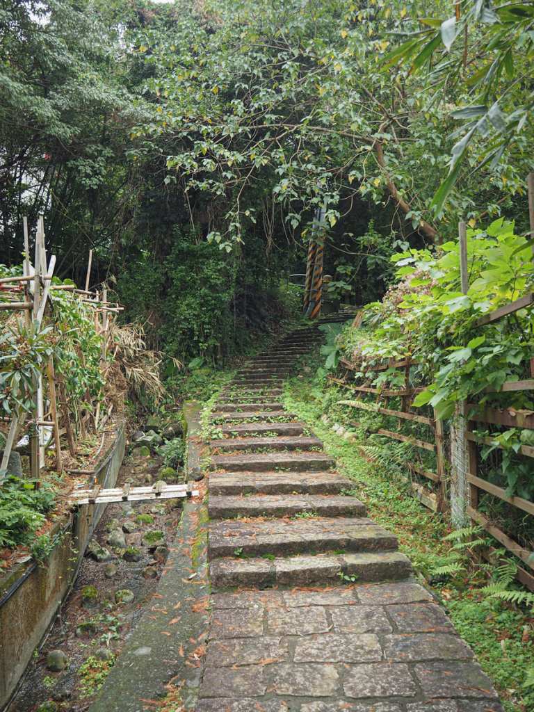
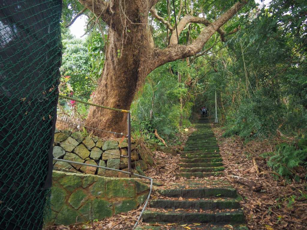
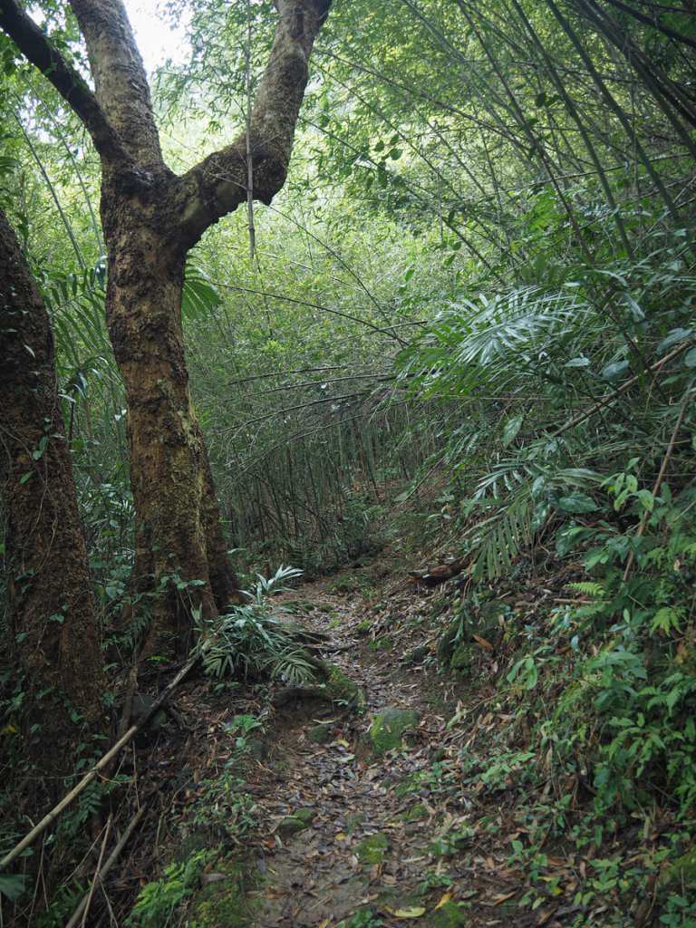
This then becomes the drill for the next little while. Steps lead up through scruffy secondary forest, cross a road, then dive back under the shade.
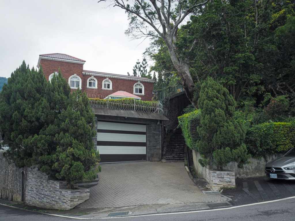
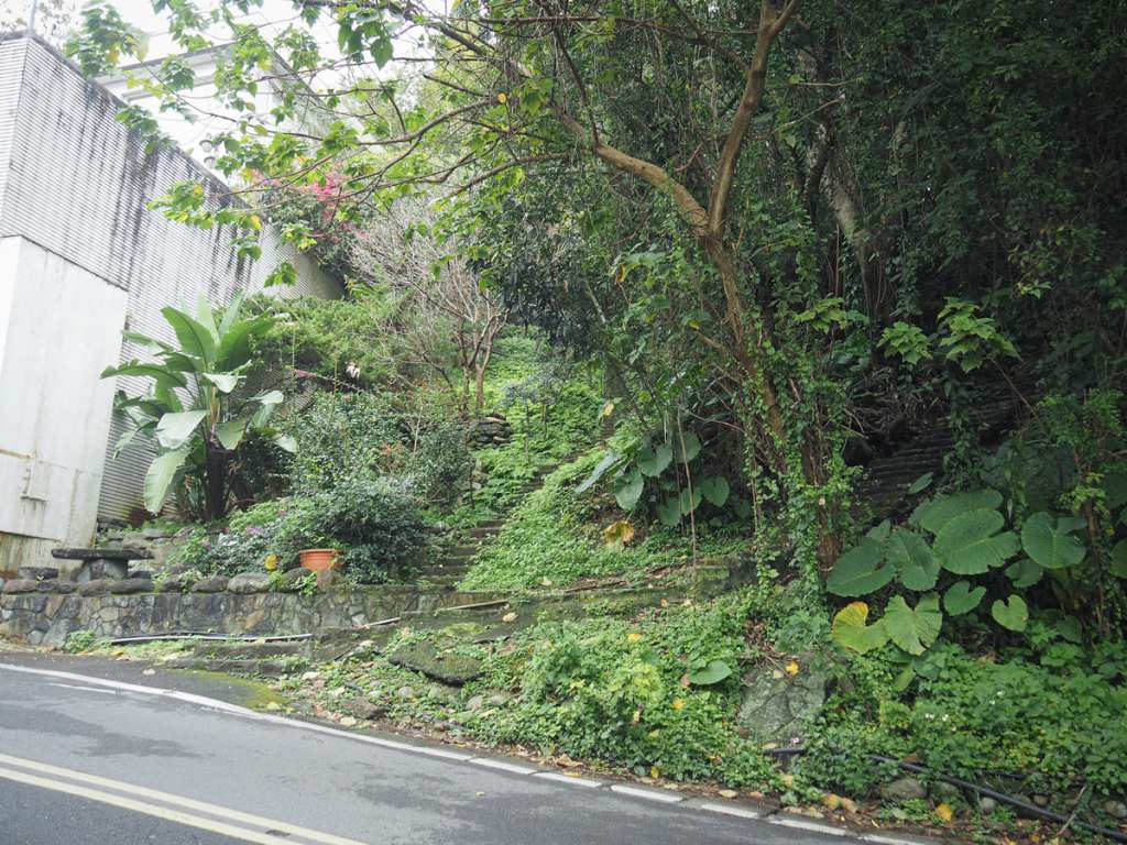
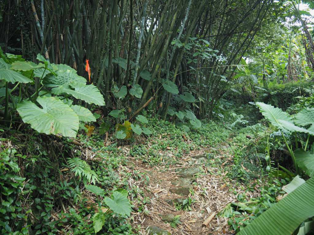
For these two junctions, the steps aren’t immediately clear, but they become apparent after a second glance, if only because there are no other places to look. There was a woman standing partway up the steps in the second photo, so for a moment, I thought it led to a private residence (it does), but after further exploration, it turned out to be the only route.
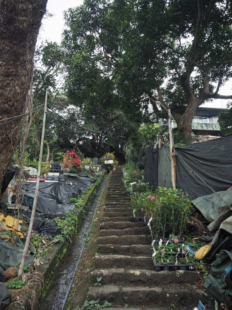
The woman was standing around because whoever lives there (maybe her) has a little plant nursery and there are pots full of young plants, each labelled and priced. The plants are also overseen by an array of CCTV cameras and a pack of leashed but vocal and ferocious dogs. (The dogs aren’t able to reach you on the path, but this fact didn’t stop the hair on my scalp from prickling.
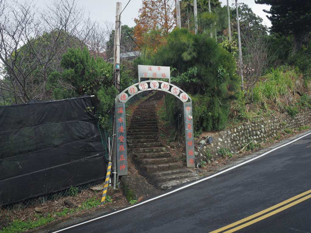
The next time you cross the road, you’ll find yourself walking through the metal archway for Pingxi Fude Temple (not that Pingxi, another one—it’s a common place name).
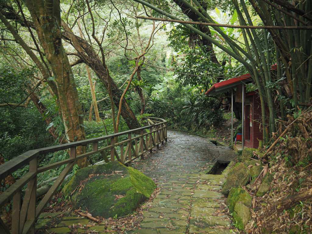
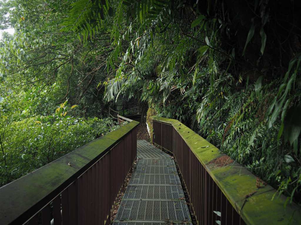
But before you reach the temple, take a sharp left turn to follow a path around the side of the hill.
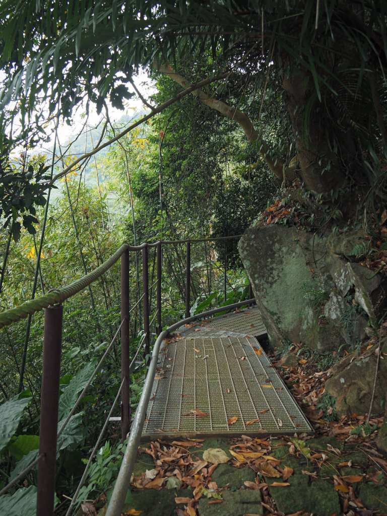
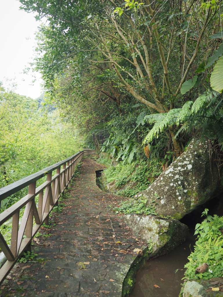
In order to make the trail safe enough for casual walkers, a railing has been installed to the left of the trail some sections have been fitted with sturdy metal walkways.
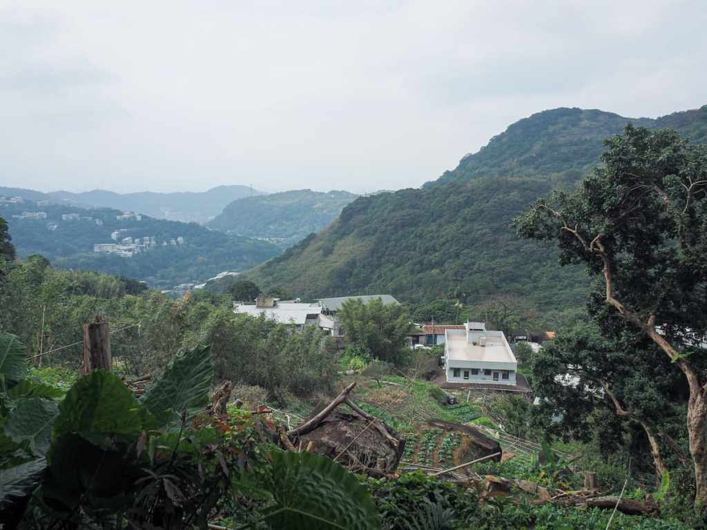
In some places, you get the odd glimpse of the farm valley, looking incredibly rural despite the fact that it is separated from the busyness of Shilin by a single row of hills.
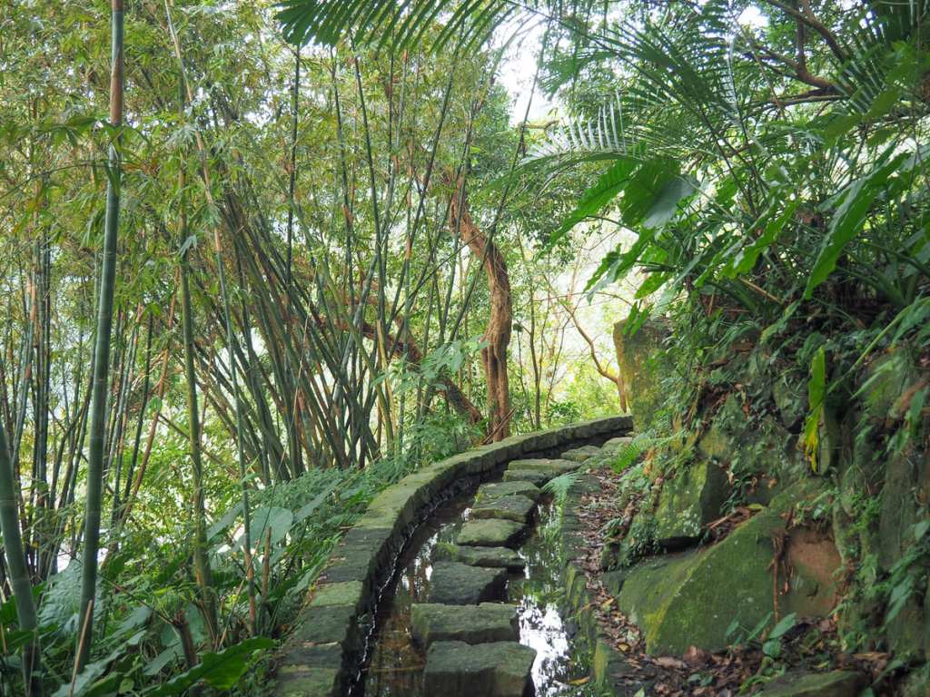
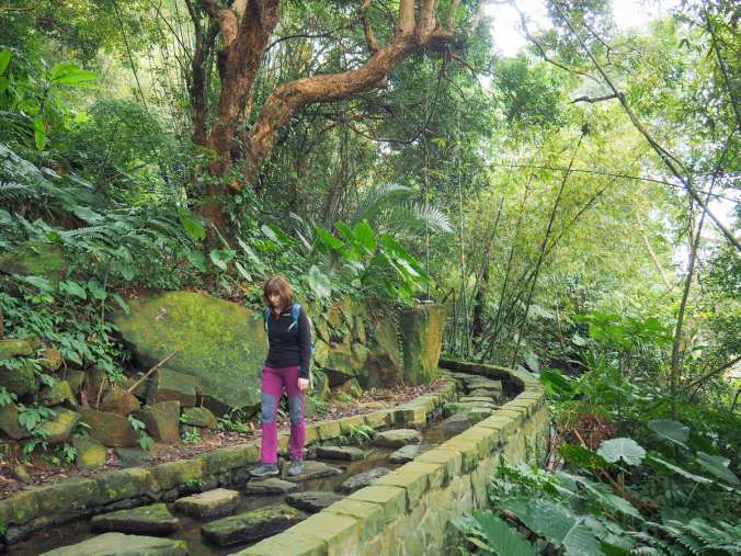
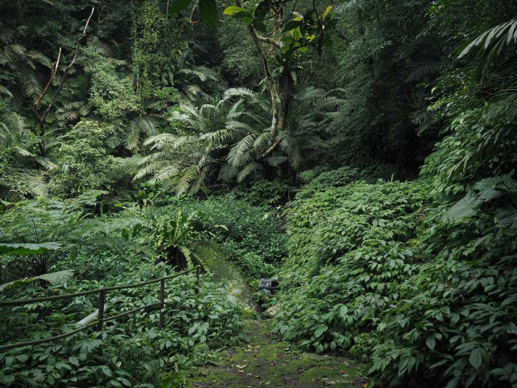
One of the neatest parts of this walk is found here at the start (or rather, end) of Xishan Irrigation Canal. For a brief stretch, the trail becomes a series of stepping stones and I was about as excited as a seven-year-old would have been to step from one to the next.
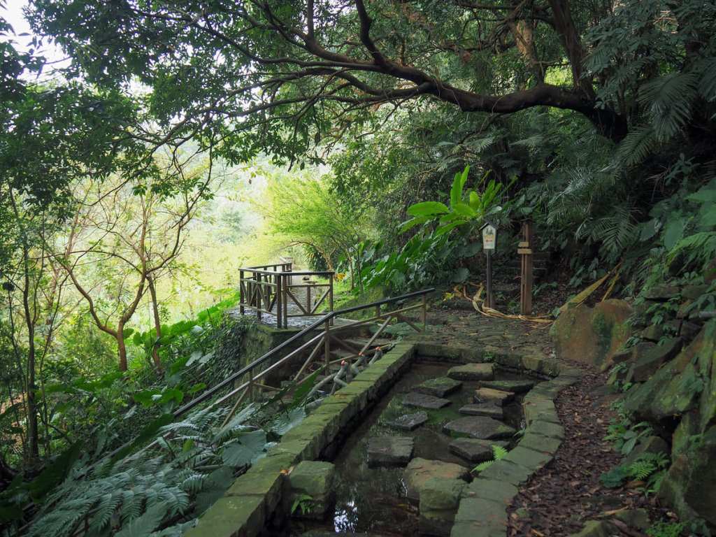
The fun ends just a little further when a flight of steps joins from the nearby road. Keep following the flat trail onwards.
While there are no more stepping stones, the path still keeps pace with the waterway.
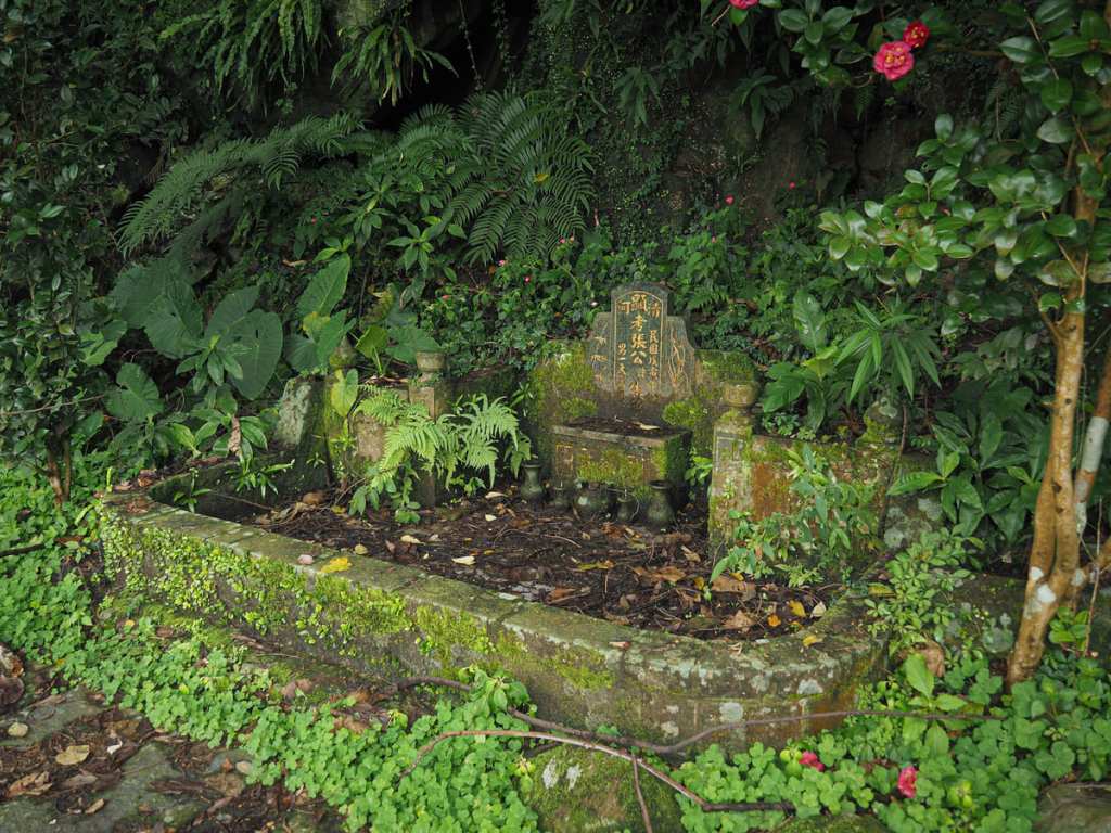
A trailside grave for a Mr Chang and land god temple offer points of interest along the way.
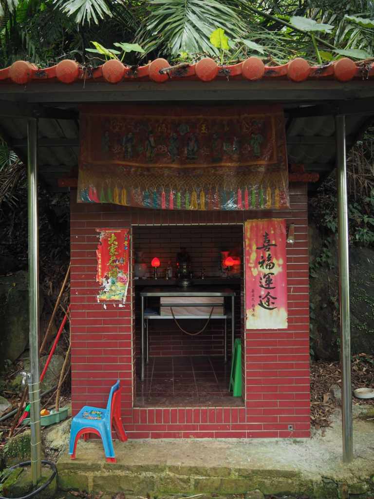
The temple is a simple brick-tiled affair with a single small idol flanked by lamps, empty vases and a (full bottle of alcohol).
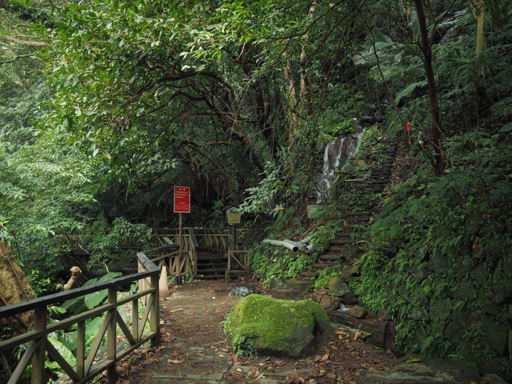
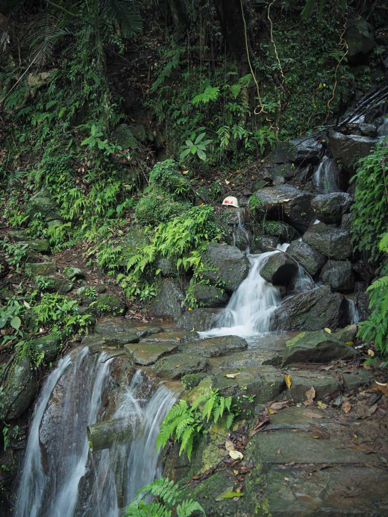
About fifty metres beyond the temple, the trail reaches a junction. Steps on the right head up to Pingjing Street and a trail continuing straight ahead follows water pipes to a larger river.
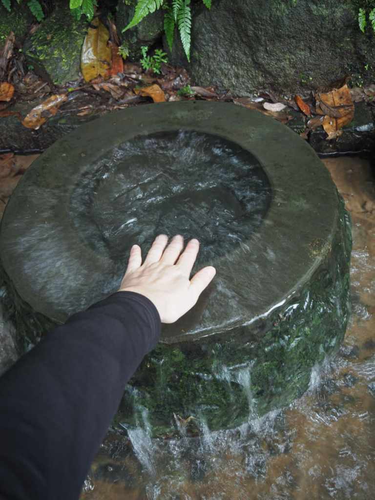
The junction is also the start of the irrigation canal. Here, you can find water spilling up and over to cascade into a shallow basin and begin its journey along the channel you’ve just walked along.
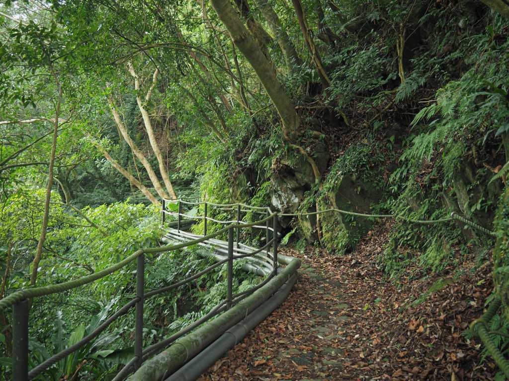
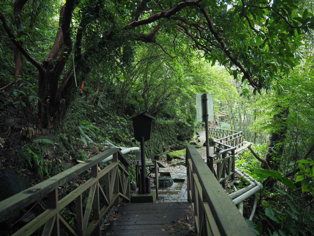
I decided to head along the remainder of the flat trail to have a little look before returning to the junction. Despite the sign warning people that the trail ahead is rough, it’s actually pretty well-kept and easy to walk.
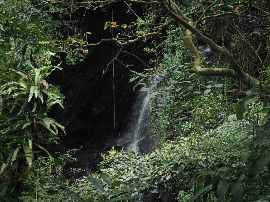
Just as you come to the very end of the trail, Xishan Waterfall is visible through the trees to the left.
The easy-to-follow trail comes to an abrupt end here. There was a fainter, narrower trail heading a little further into the trees, but I wasn’t wearing suitably non-slip footwear, so I just turned back and retraced my steps.
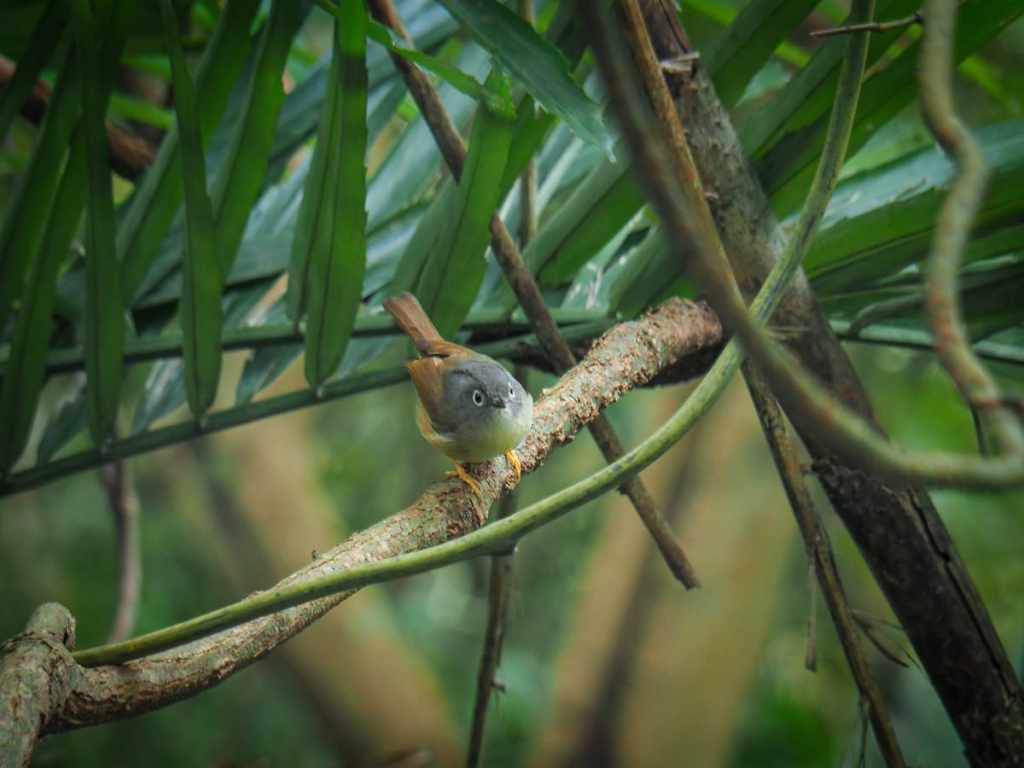
The structure of the trail made it a kind of ideal bird-watching spot. The path is level with the upper branches of the trees on the downhill side and numerous species were flitting from tree to tree almost without noticing me at all. In addition to this little Morrison’s fulvetta, I saw rufous-capped babblers, a white-bellied epornis, Taiwan scimitar babblers, and a couple of others who moved too quickly for me to get a good look.
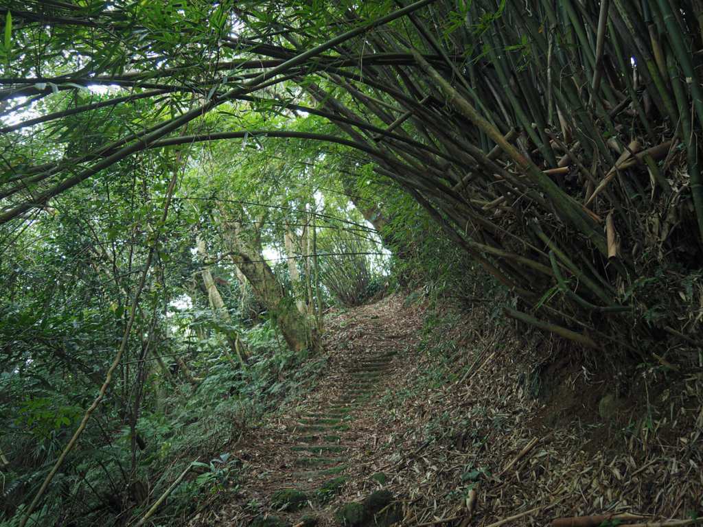
Back at the junction, I turned left to head up the steps.
More stepping stones cut across the middle level of a small cascade, then once you’re on the far side, the path continues up through bamboo.
At the junction, take a left. The map seems to indicate that both trails head up to the same spot, but the lefthand trail is definitely the more frequently walked of the two.
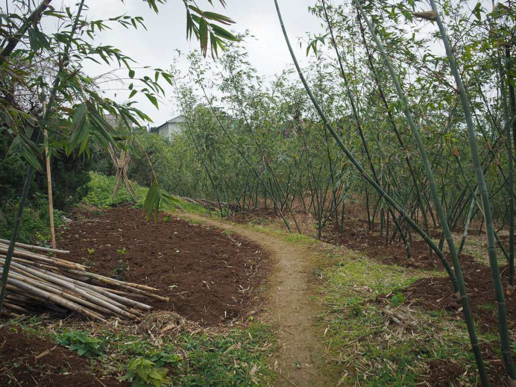
The path tracks through farmland as it makes its way up to join the road.
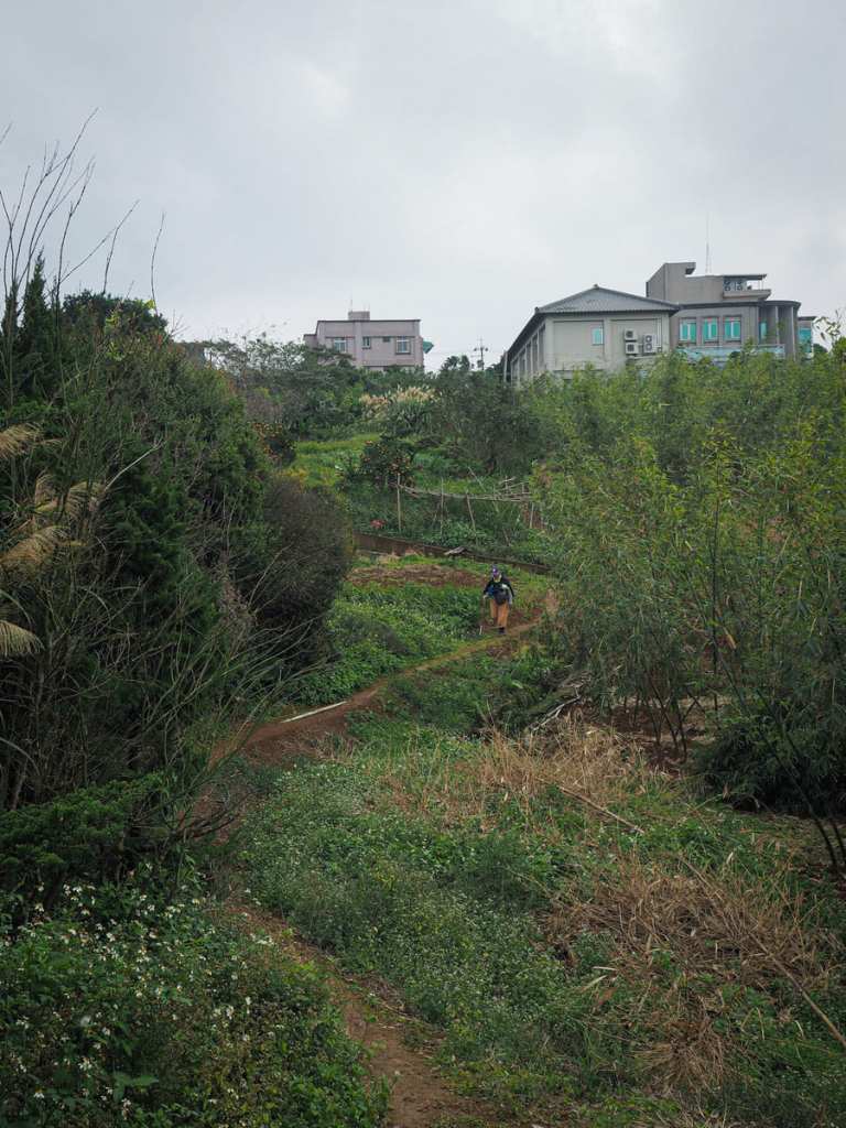
This chap gave me a bug thumbs up and a “很棒” but I’m not sure what I did to be deserving of being called great.
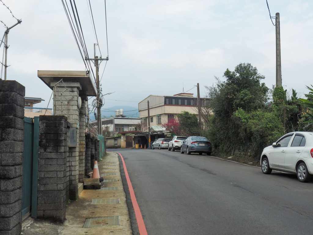
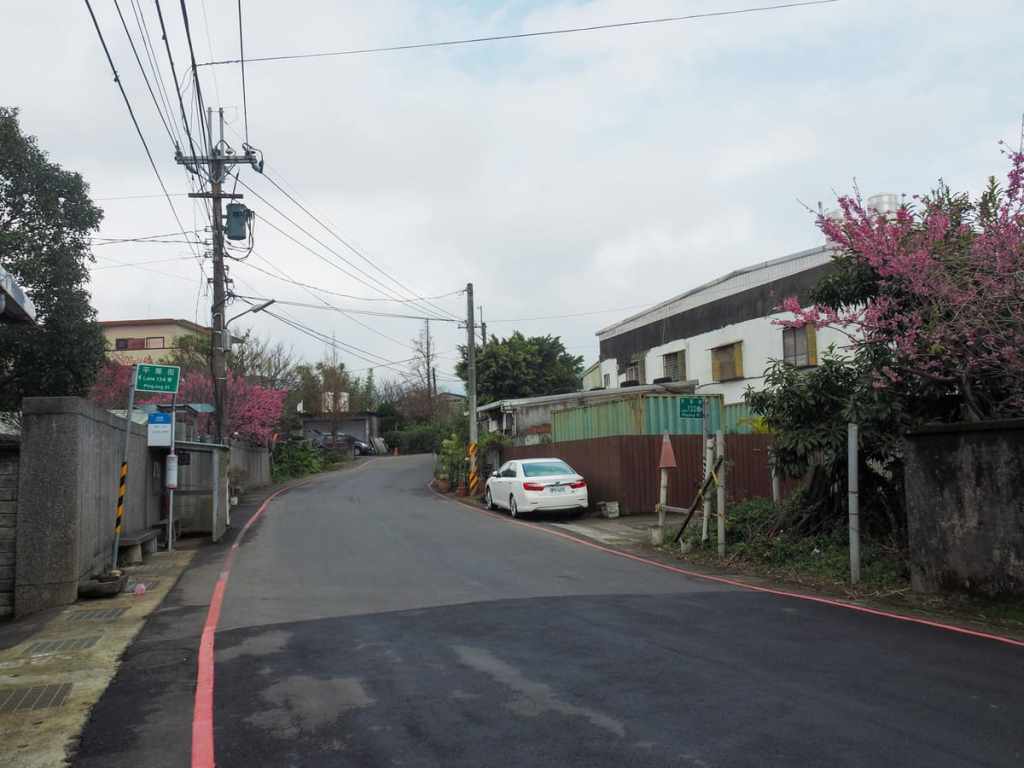
Once you hit the road, take a left and head towards the next bus stop. Or…
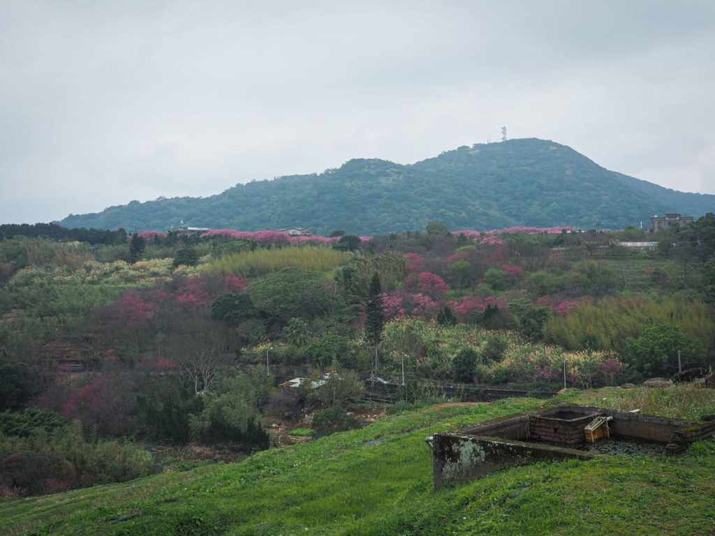
…if it’s the right season, keep walking a little further until you reach Eweishan Paddy Terrace and the beautiful cherry blossom display of Pingjing Street.
How to get there
Google Maps address: The walk starts from the junction of Zhishan Road Section 3 and Lane 71. There are a reasonable number of parking spaces for both cars and scooters along here, but you’ll probably end up walking double the distance.
GPS location:
Public transport: This walk has bus stops at both ends.
- Getting to the start – Take S18, S19 or M1 minibus from outside Jiantan MRT Station (opposite the performing arts centre) and alight at Shalun bus stop. (These buses also pass Shilin Station, but you do not want to be getting on the bus at Shilin, especially if you are headed there on weekends because the services are always overcrowded.)
- Getting back – If you’ve got energy, you can walk back down the same way or down the road, but if you want to take a bus back, head to the Family Garden Community bus stop and wait for the S19 to take you back down to Jiantan Station.
Nearby trails:
- Eweishan Paddy Terrace and Pingjing Street Cherry Blossom
- Gouyinqin Canal Trail
- Pingding Canal Trail
Xishan Canal Trail Map
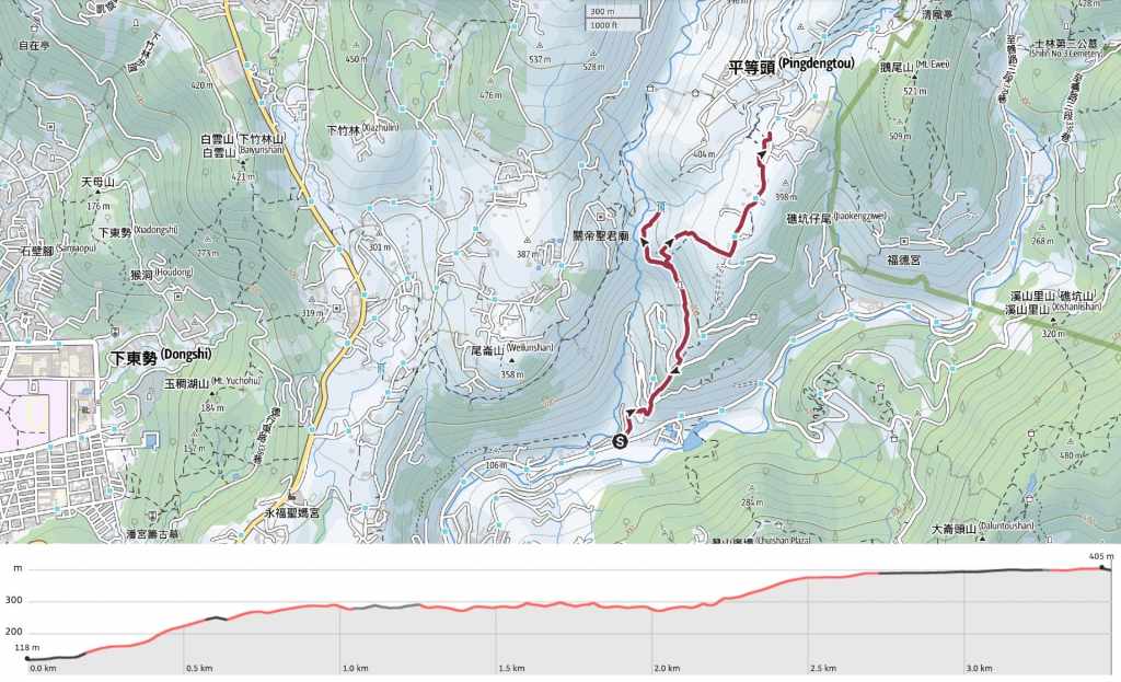
GPX file available here on Outdoor Active. (Account needed, but the free one works just fine.)
