
Temples and Cherry Blossom in New Taipei’s Wugu District
These days, you could drop me on pretty much any mountaintop in New Taipei and I’d likely be able to name a fair number of the parks in sight, but as one of the first (if not the first) peak whose form I learnt to distinguish, Mount Guanyin has always felt a little special — like its my compass. But it’s not just me that has felt some kind of connection to the site. The lower slopes were once home some of Taiwan’s early inhabitants, the people of the Neolithic Dapenkeng Cukture, who learnt to decorate their pottery by pressing corded ropes into the soft clay some 4,000 to 7,000 years ago, and later on, Qing-era settlers must have felt the hills had good feng shui because they began building their temples here.
Even to this day, the area retains a certain special kind of energy and the walk featured here is a good way to get a taste of that. I started by following Fulongshan Trail up past many temples before picking up the treetop trail and following that as far as Guanyinshan Visitor Centre. It’s a lot of steps, but it’s neither long nor difficult, and if you’ve got time, you could easily tag on a visit to Guanyin Mountain or one of the more exciting roped trails that ribbon the mountainside.
Distance: 4.6 kilometres but with ample opportunities to extend this in many directions.
Time: 2 hours — The walk alone should only take a little over 90 minutes, but the best part of this trail is stopping to explore the many temples and curiosities along the way, so plan to take it slowly.
Total ascent: About 270 metres.
Difficulty (regular Taiwan hiker): 2/10 — A bunch of steps, so tiring but easy.
Difficulty (new Taiwan hiker): 4/10 — For those new to hiking in Taiwan, the relentless uphill slog will burn your thighs, but as long as you have good cardio fitness, you’ll be fine. If you think you’d be more comfortable walking downhill the whole way, you could opt to do the walk in reverse, but personally, I find going down is more tiring on the legs.
Risks and dangers: This is a very safe walk.
Water: I took 0.5 and drank most of it. There are several water dispensers in the temples along the way, so you can top up as necessary. There’s also a roadside convenience store at the starting bus stop and a cafe near the visitor centre at the top of the walk.
Shade: This walk is exposed enough that on a bright day, I would have wanted to take some form of sun protection.
Mobile network: Clear throughout.
When to go to see cherry blossom: The season varies somewhat from year to year, but mid-February seems to be a good time. I’ve seen blossom here at this time for two years in row.
Enjoyment: While not a wild or remote walk, I absolutely love the amount of cultural interest on offer and the walk still has lots of natural prettiness to enjoy too. In particular, I would recommend this walk to hikers who want to get away from the usual tourist spots but are perhaps slightly anxious of straying too far into the forests by themselves.
Bathroom facilities: Three or four of the temples along the trail have toilets (bring your own toilet paper), and the visitor centre at the top does too.
Route type: The route featured here is point to point, but it’s short enough that you could walk back the same way or find another trail to tack on.
Permit: None needed.
Jump to the bottom of this post for a trail map and GPX file.
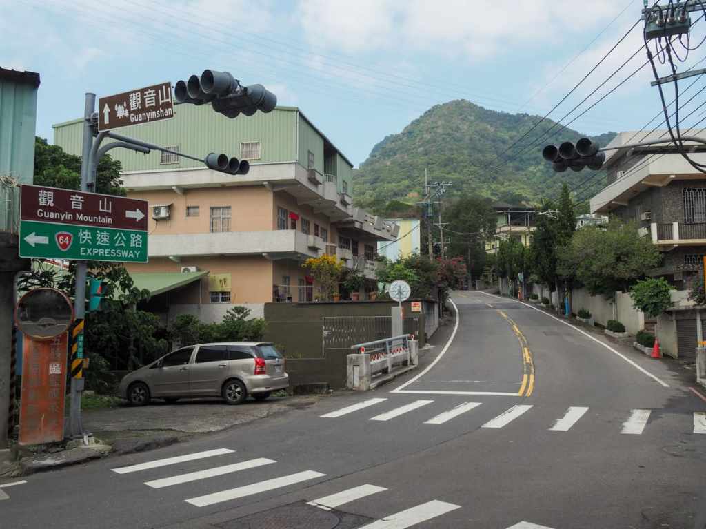
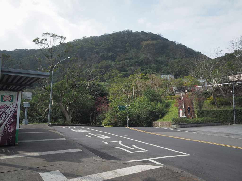
I was the last passenger left on the bus when I alighted at the Guan Yin Shan bus stop, and before setting off, I ducked under the sheltered roof of a small roadside temple to finish my coffee and sort out my backpack. Once ready to get going, I headed off up the road following the sign for Guanyin Mountain and the domineering form of Yingzai Peak (the hill in the left photo — more on that here). The first large temple I passed was Shan’an Temple (山安宮) — there are toilets and a water dispenser here, but I didn’t need to make use of either so early in the walk.
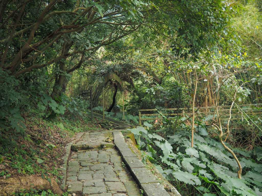
Just to the left of Shan’an Temple, you’ll find the entrance to Fulongshan Trail. This first portion heads up through bamboo farms (bamboo being one of the area’s key crops), with a scruffy stream down in a valley to the right.
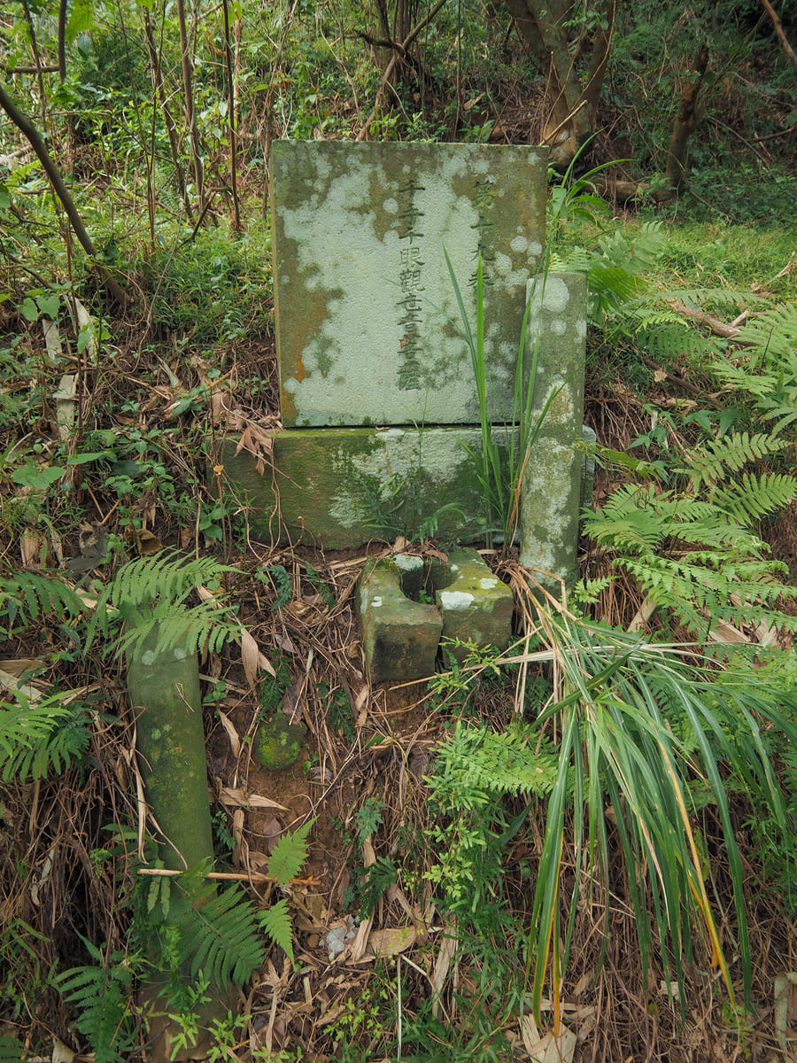
The trail also goes by the name Guanyin Historic Trail (觀音古道). In the past, it was an important route for Buddhist pilgrims travelling between Xiyun Temple (西雲寺) at the foot of the mountain and Kaishan Lingyun Temple (開山凌雲宮) part-way up, and there are plenty of signs of its historic credentials along the way — many wayside shrines, some containing deities like Tudi Gong or Guanyin and others holding stone steles marking them as being shrines for the unclaimed dead. At one point during the Japanese occupation, 33 stone carvings of Guanyin were donated to be distributed along the length of the trail between the two temples. According to Tony Huang’s website, only 20 of these still remain, and of those, some are later replacements and some only have the foundations.
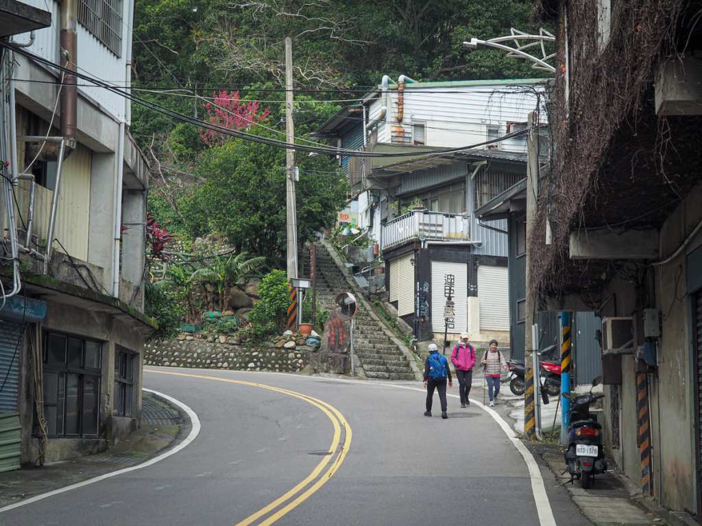
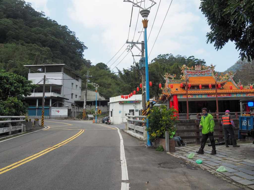
After passing a chicken farm, the path briefly rejoins Lingyun Road. I followed the road up through Guanyin Village’s collection of chicken restaurants (presumably this is the destiny of those chickens in the farm), then turned onto the steps to continue my climb.
A few minutes later, the path arrives at a two-way junction. If you’re not into temples, you can just continue heading straight up, but personally, I think it’s worth taking the lefthand trail and spending a few minutes nosying around Kaishan Lingyun Temple.
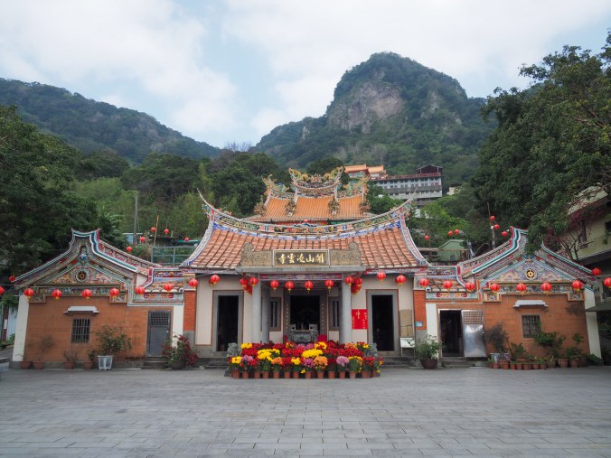
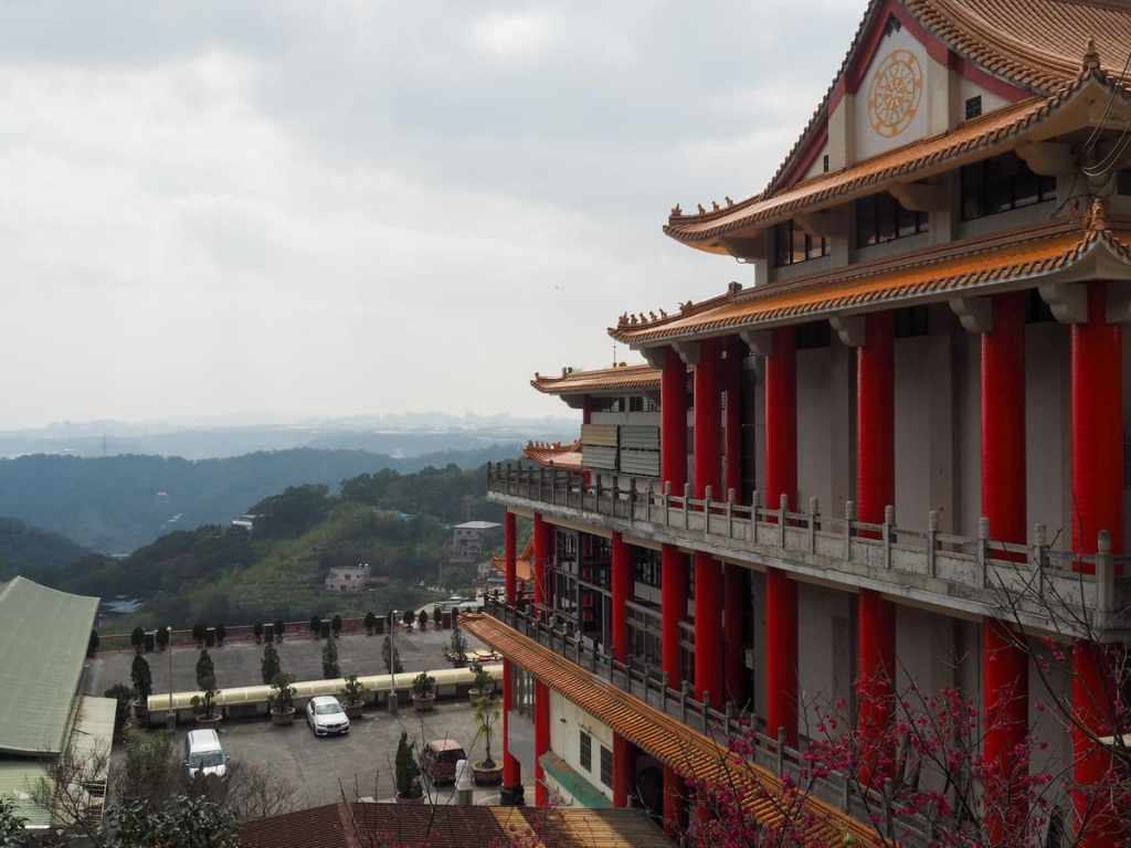
Founded in 1739, Lingyun Temple is the oldest temple in Wugu District, and it’s really not hard to see why this location was selected. Just look at it! Look how impressive it is with the hills rising to the rear and both sides as if mirroring the shape of the temple’s own three-winged form. It is a beauty.
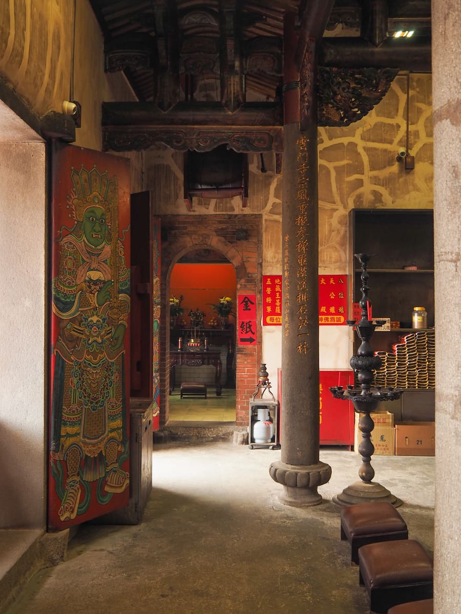
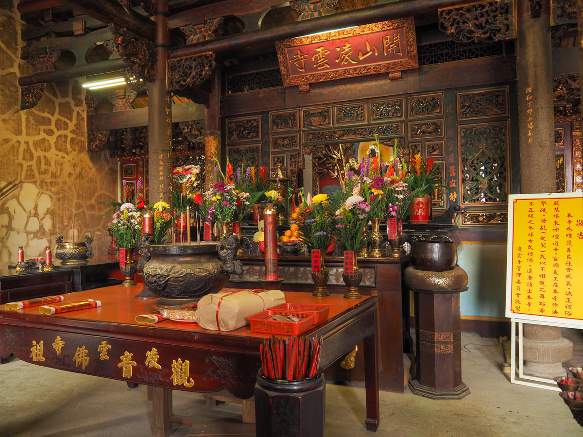
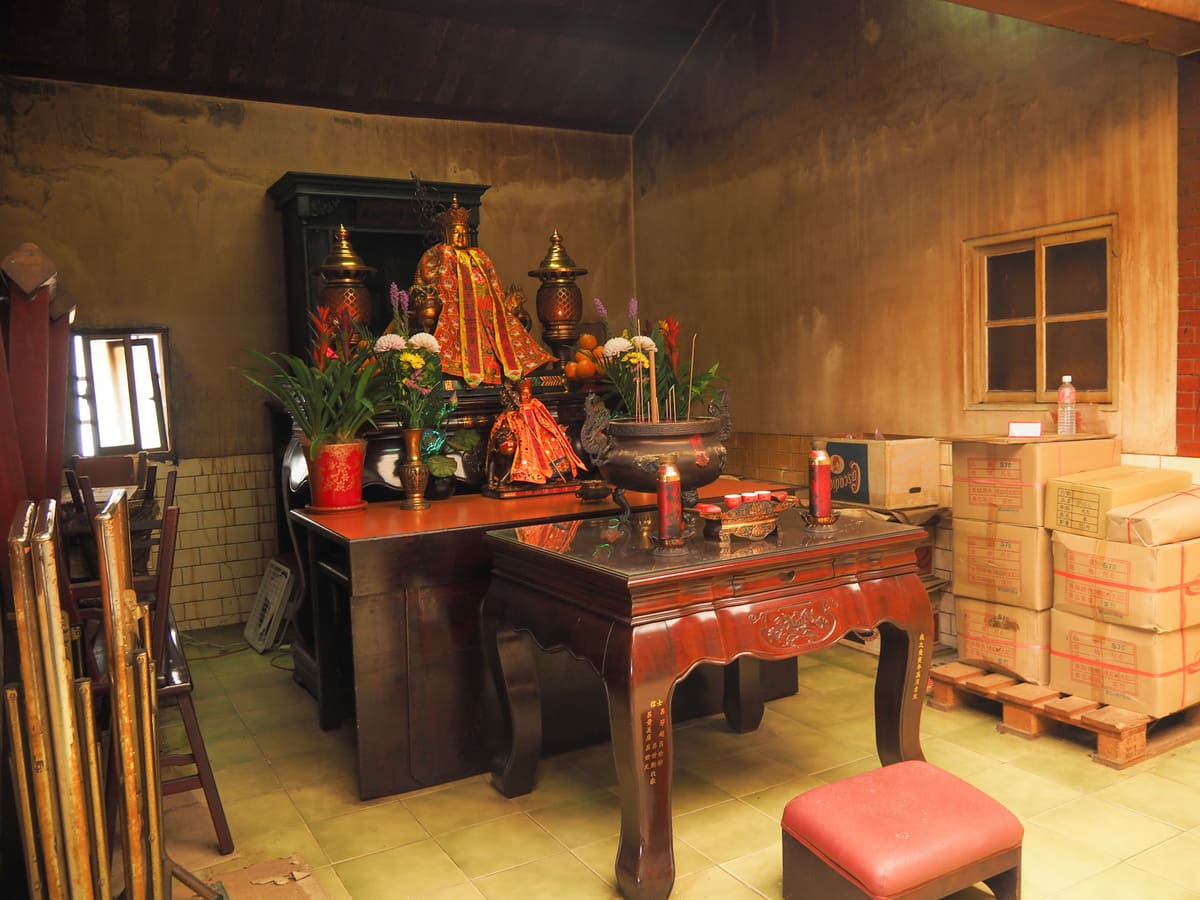
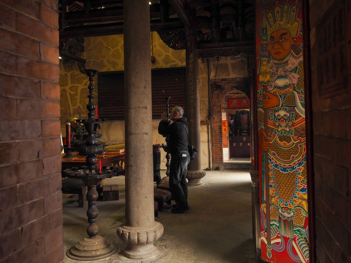
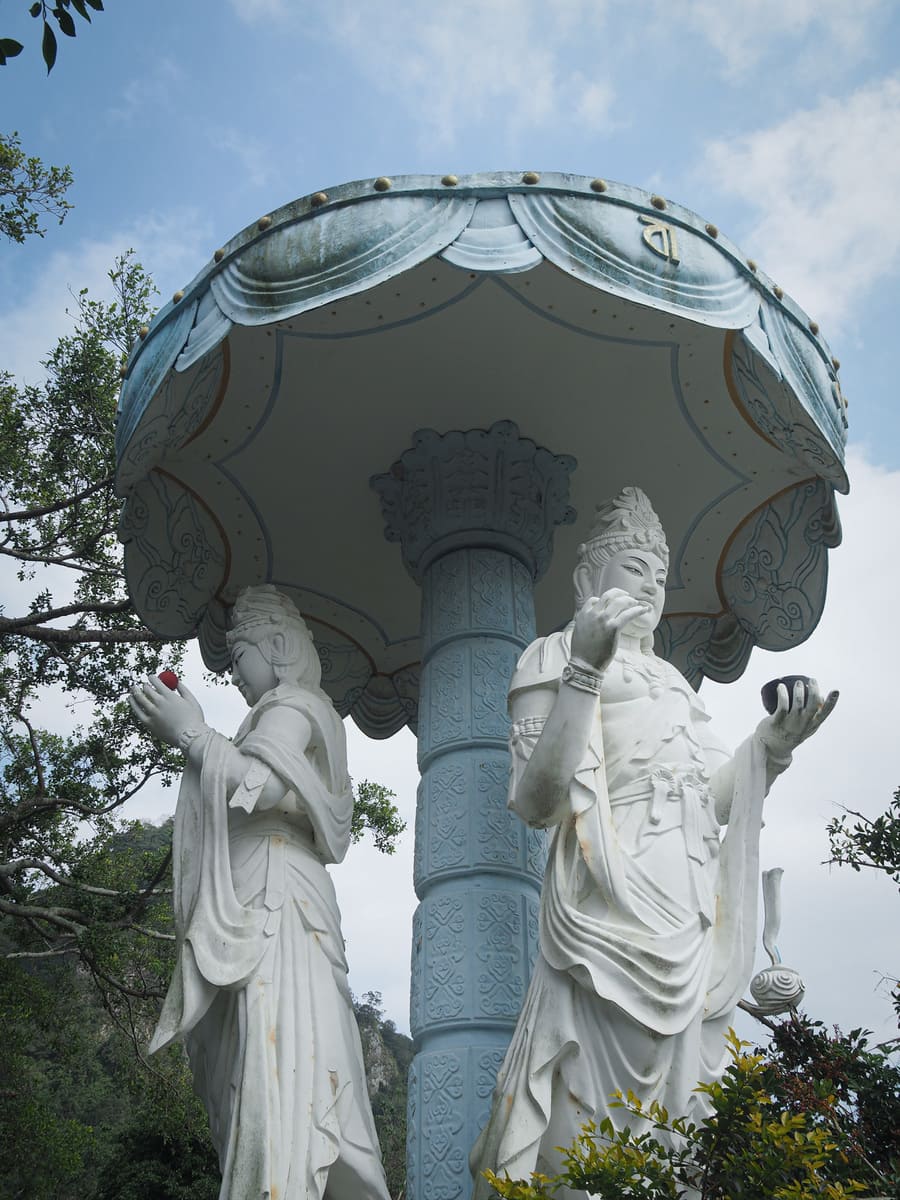
Like a lot of Taiwan’s older religious sites, Lingyun Temple has had something of a turbulent history. It has been rebuilt twice, most recently in 1927 some decades after it was burnt down by Taiwan’s first provincial governor, Liu Mingchuan (劉銘傳) to smoke out rebels who’d been hiding there. The temple’s primary deity is the Nanhai Guanyin and you’ll find her enshrined on the central altar of both the front and rear temples. Joining her are others like Qingshui Zhushi, San Taizi, and Fude Zhengshen. Something I liked about the lower, older hall is how ultalitarian the interior feels in contrast to its beautiful brick and tile exterior — the floor are bare and the brickwork is still exposed in some places, but the deep yellow incense stains tell you that it has a healthy population of devotees.
Heading back down past the temple’s toilet block, I turned onto the trail to continue upwards.
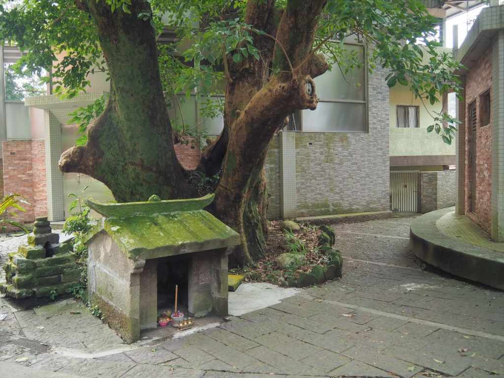
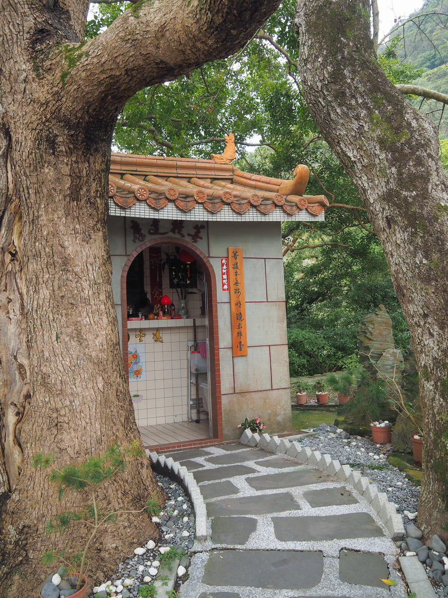
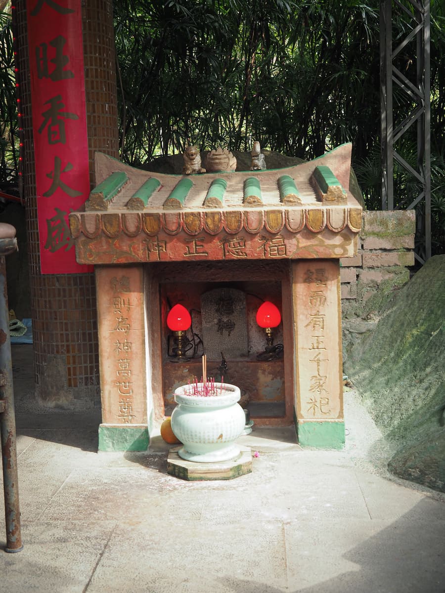
The path ducks through an alleyway on the right to reach this tiny land god shrine beside a large, healthy tree. (Actually, there are two small temples in this clearing between the houses a dead-end hamlet.)
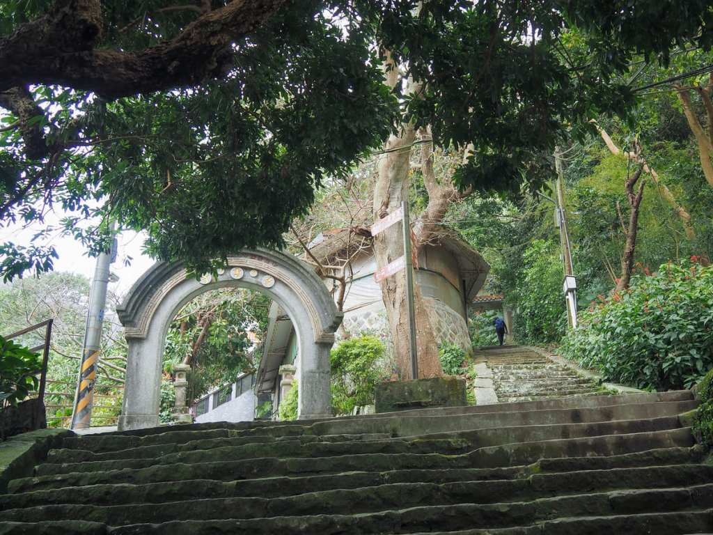
Another steep flight of steps carries you upwards to a junction. The trail on the right here is the one that you would be on if you hadn’t detoured to visit Lingyun Temple. Take a left turn here and keep climbing a bit further.
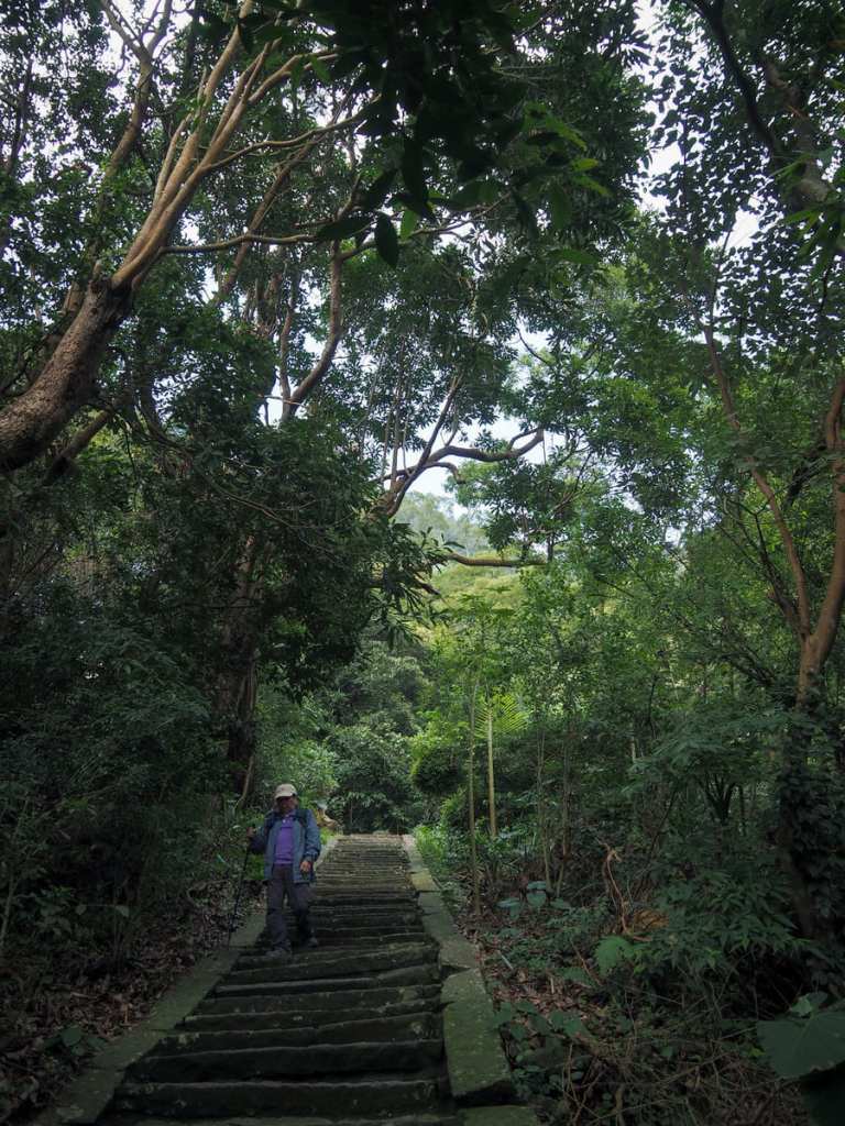
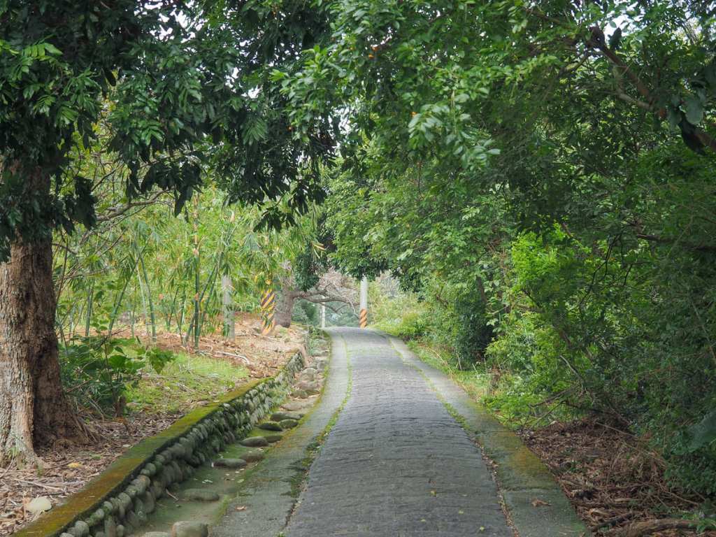
The steps are relentess and steep, but at least the trees framing them make them rather pretty.
An old stone outbuilding that has become a gardener’s shed on the periphery of Lingyun Monastery’s grounds.
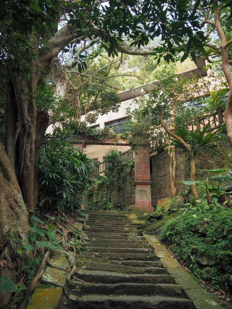
The trail heads along the rear of Lingyun Monastery, but there are steps that will take you down to the courtyard where you can, but it seems like it isn’t always open to the public.
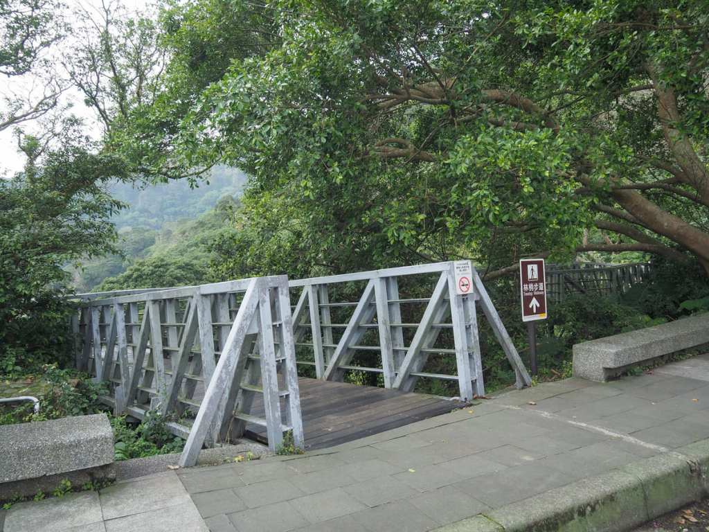
If you just keep heading straight along the path, you’ll find yourself climbing up muddy steps towards a shelter and a toilet block.
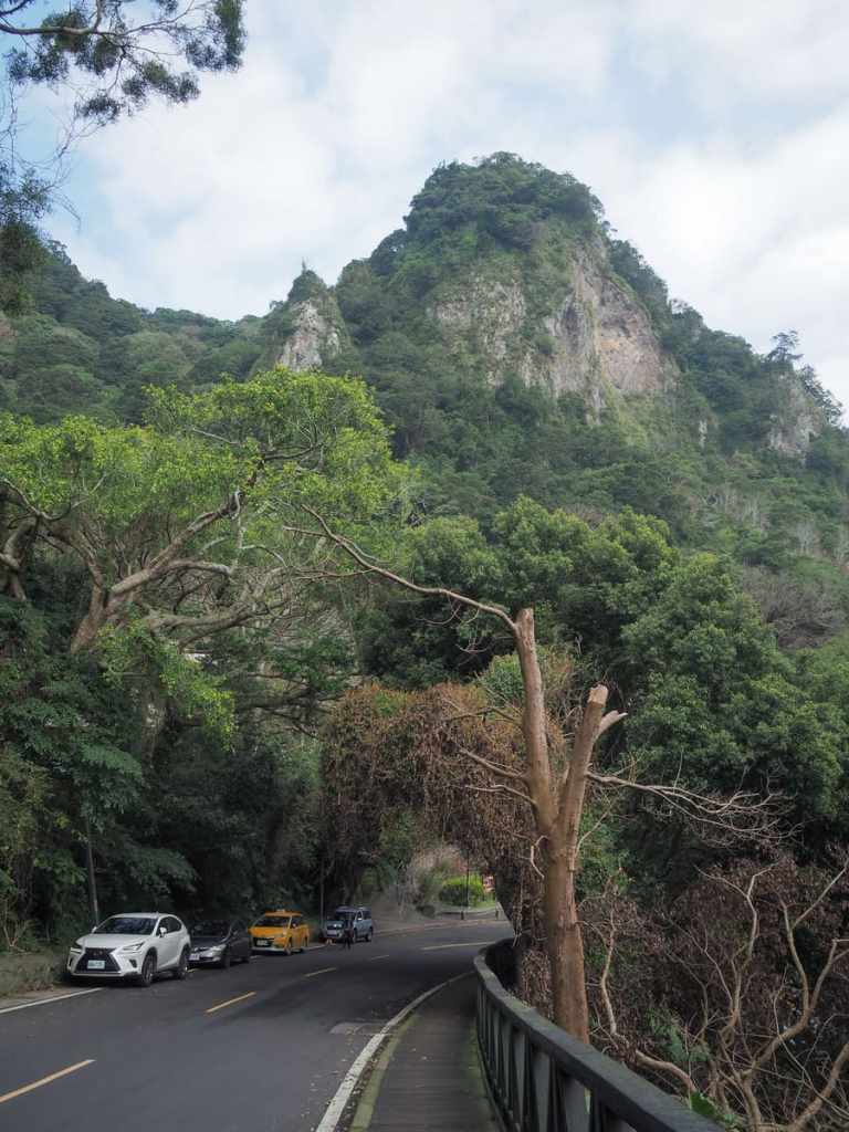
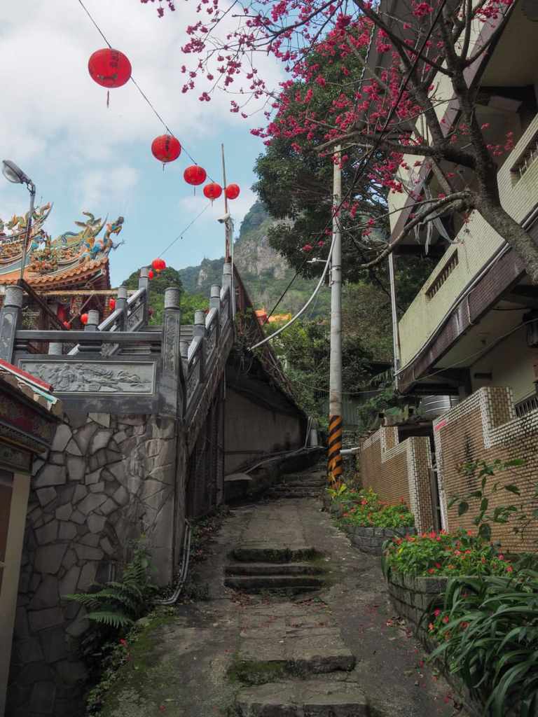
This is the end of Fulongshan Trail and the transition to the treetop trail. From the toilets, take the steps to rejoin the road, then follow the road as it climbs steeply up. It’s worth taking a break to turn round and enjoy the dramatic view of Lingyun Peak (凌雲尖) and its much smaller, spikier sister, Dragoness Rock (龍女巖, this is the spindly, bamboo-shoot-shaped rock just to the left and below the main peak and climbing it is a thrill).
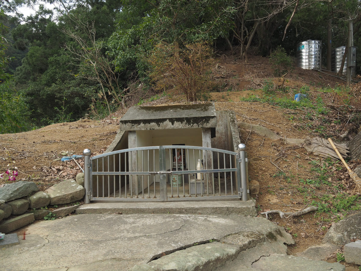
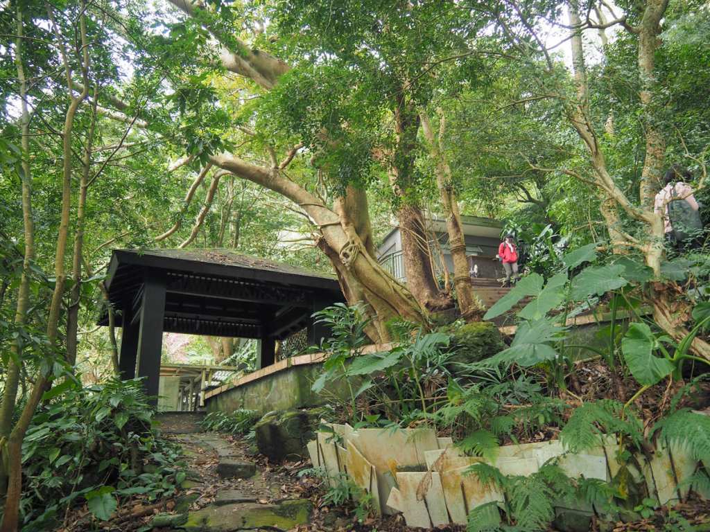
Just at the point where the treetop trail leaves the road, there is a small assortment of shrines.
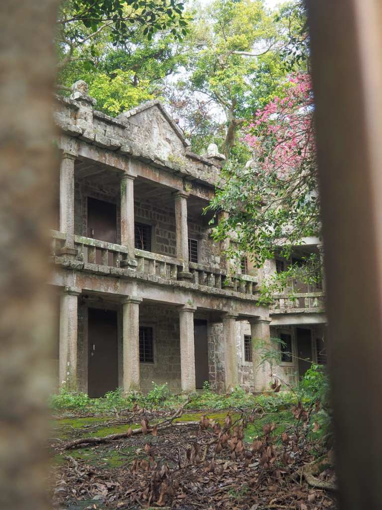
And on the opposite side of the road, locked away behind a tall gate is the pretty stone edifice of Lengyan Monastery (楞嚴閣), a private facility associated with nearby Lingyun Monastery. The building is shut off to the public appears mostly abandoned which is a real shame because it looks absolutely gorgeous. It was built using locally quarried stone, so it seems comfortably placed in its surroundings and the architectural style is a wonderful blend of east and west.
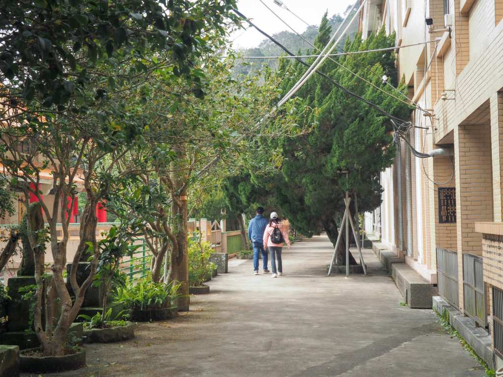
The final portion of the walk follows Guanyinshan Treetop Walkway through the trees to Guanyinshan Visitor Centre.
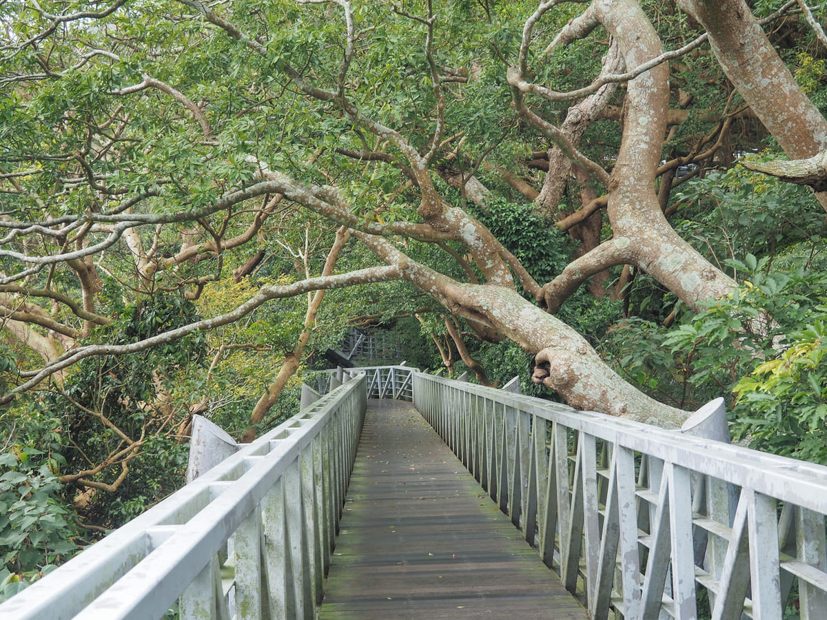
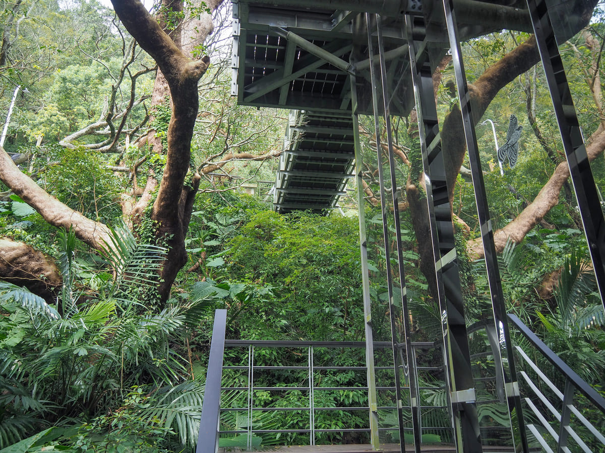
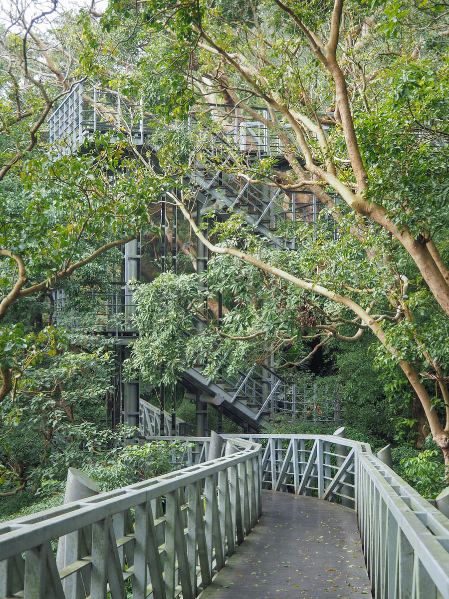
The metal and wood boardwalk lets you float through the forest at treetop level, and if you take your time, you can watch the barbets and bulbuls flitting through the leaves. At one point, there’s an interesting mirrored spiral staircase. It’s not the kind of structure you often see in nature (although I think this is likely because the mirrors confuse birds, so maybe that’s a good thing).
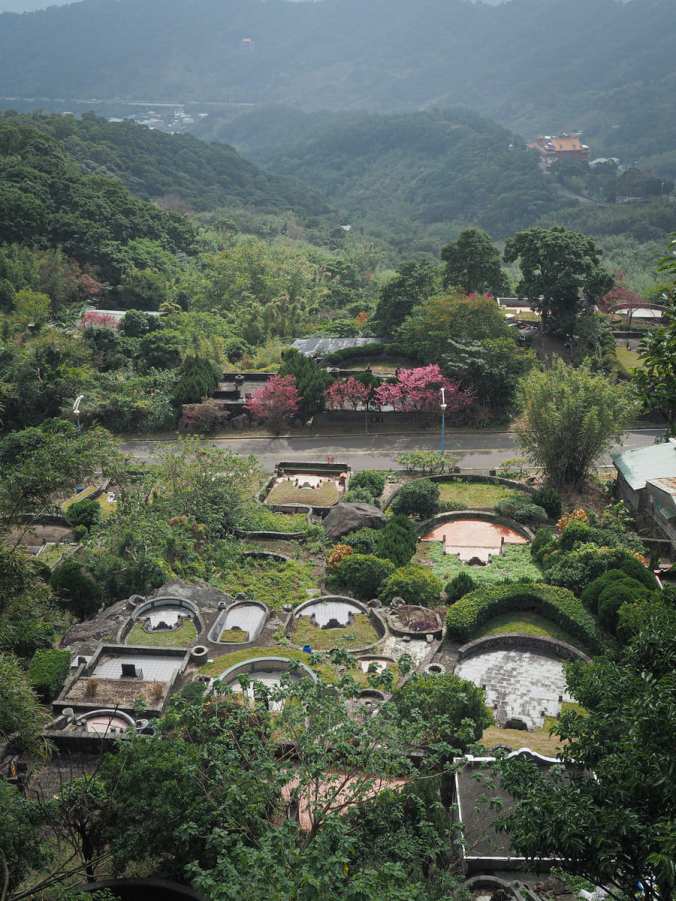
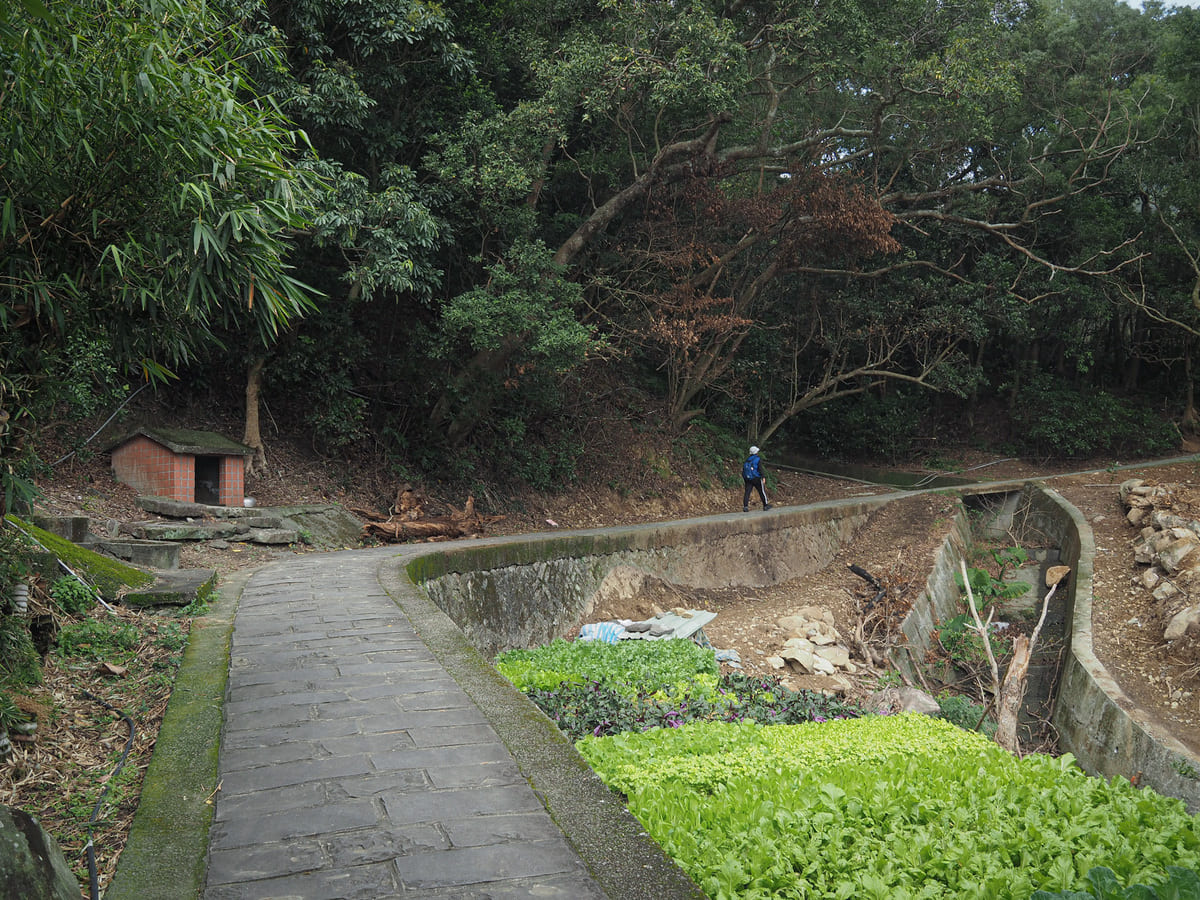
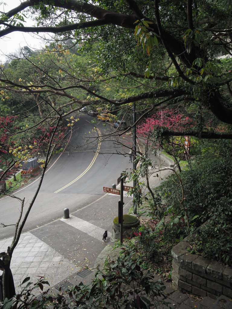
Where there are gaps in the trees, you can look out over a graveyard and down towards the city.
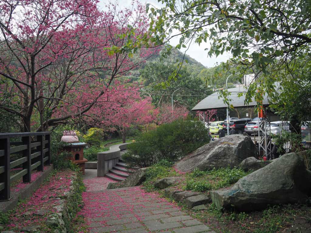
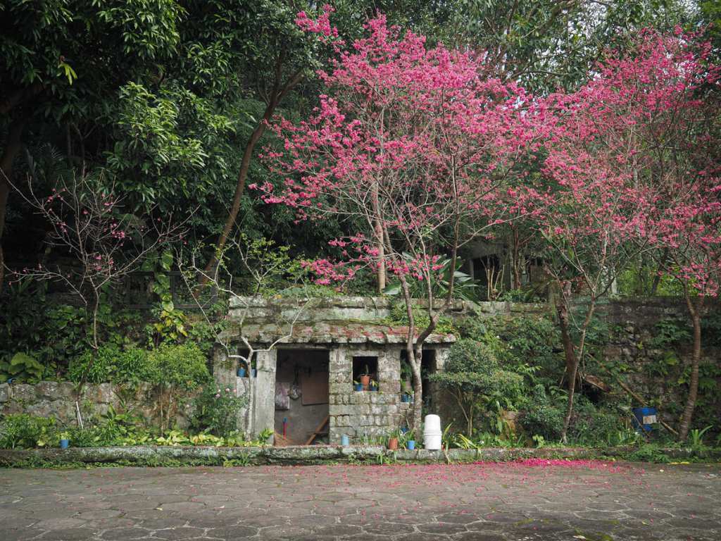
At the park where the trail terminates, there are a whole load of cherry trees and one final temple.
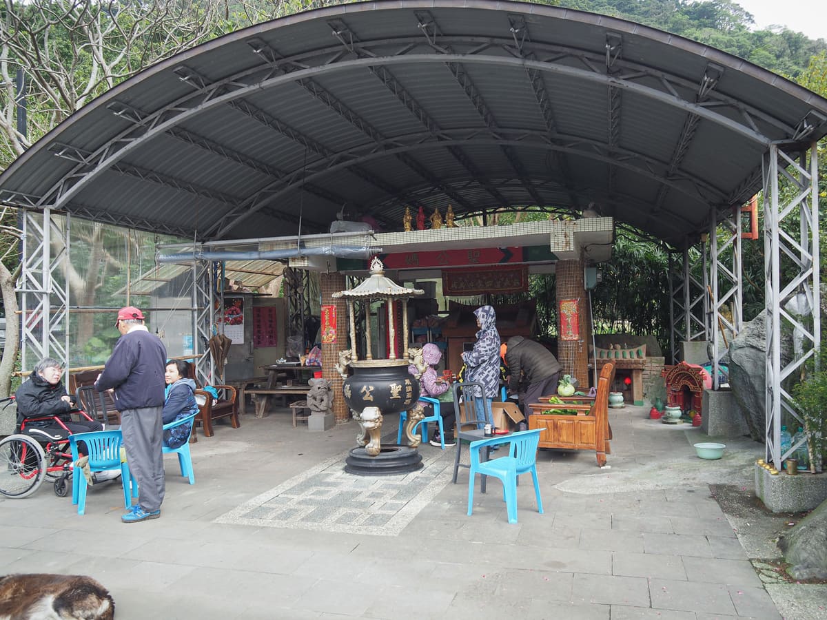
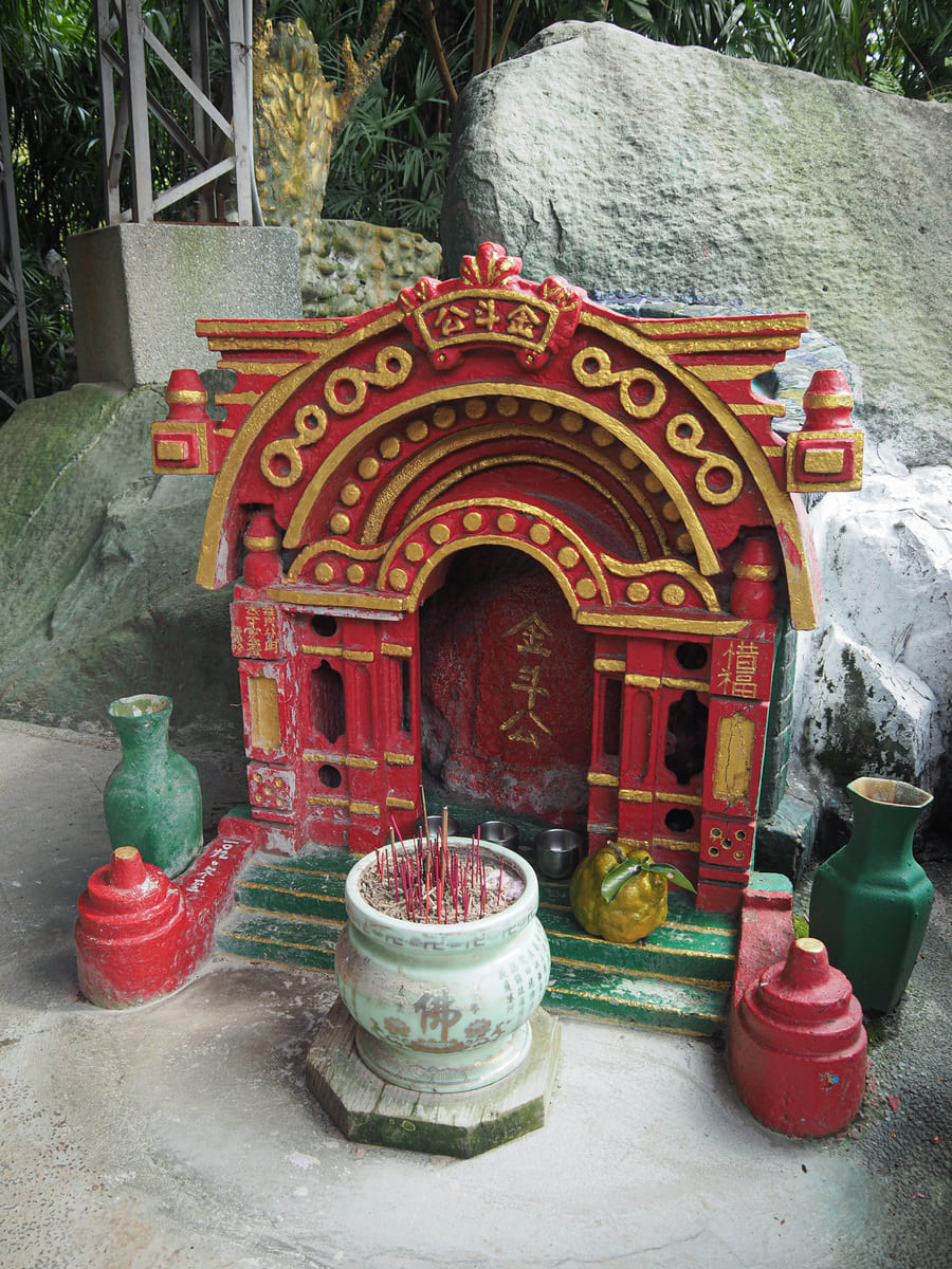
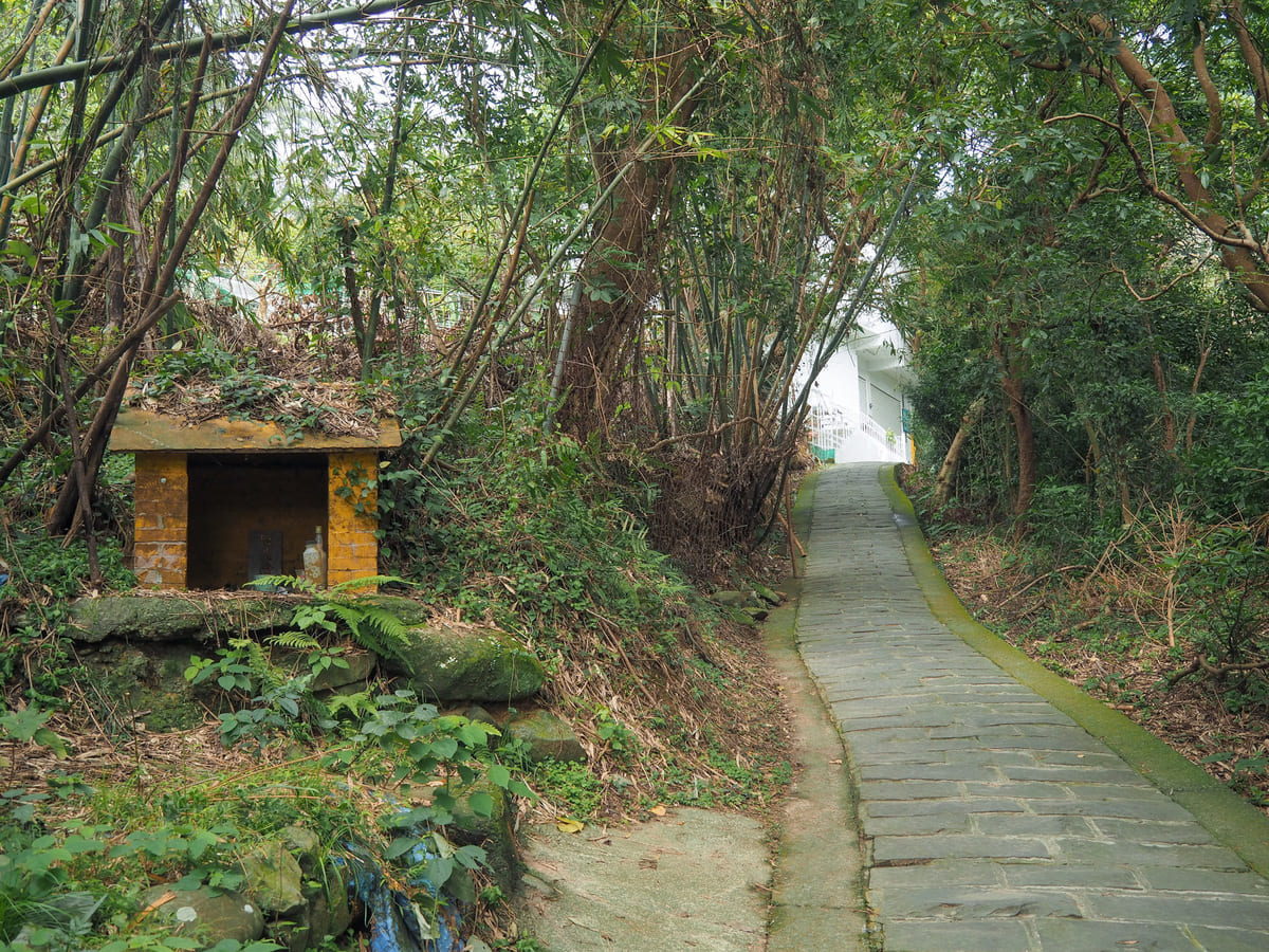
The very final temple of the walk is a small land god temple that has been colonised by a pack of feral dogs and another pack of (probably) slightly less feral old folks. The interesting thing about this one is its assortment of tiny affiliated shrines.
The walk concludes a little further up from the temple, but unless you finish your walk super early, you’ll have to head back down to Lingyun Temple to catch the return bus to Taipei (the latest bus leaves at 10am). If you have a little spare time before you need to head back, you can pop into Guanyinshan Visitor Centre or the next-door café.
How to get to Fulongshan Trail
Google Maps address: The trail starts beside Shan’an Temple, heads up to Guanyinshan Visitor Centre, then concludes back down by Lingyun Temple.
GPS location: N25 7.095 E121 25.815
Public transport:
- Getting there — Take the orange line to its Luzhou terminal, head out of the station via exit 1, then swap over to the 785 or O20 bus and ride it to the Guan Yin Shan stop. (Only the O20 stops at the bus stop right outside of exit 1, but both go from the bus stop that’s just on the other side of Zhongzheng Road.)
- Getting back — Heading back, you’ll want to do more or less the same but in reverse. The 785 and O20 both leave from in front of Lingyun Temple and will take you back to Luzhou MRT station.
Further reading: Here is Tony Huang’s post about the walk.
Nearby trails:
- Guanyinshan Northern Cross Trail
- Liao Tianding Cave
- Niuliaopu Trail
- Taipei Skyline Trail — Section 7
- Yingzai Peak and Chaoyin Cave Temple
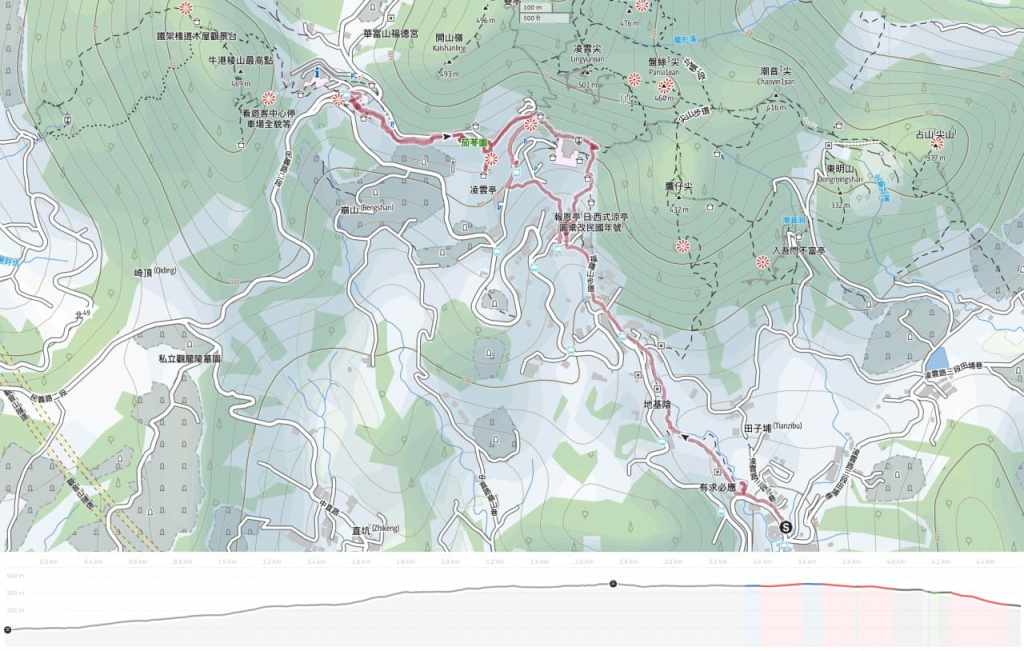
Fulongshan Trail Map
GPX file available here on Outdoor Active. (Account needed, but the free one works just fine.)
