Standing on the eastern shore of Hualien’s Liyu Lake (鯉魚), this Minor 100 Peak is a pleasantly forested walk with occasional lake views, monkeys, and lots of birds. “Liyu” means “Carp,” so you might also see this peak being called Carp Mountain. This seems to be a very common name for hills and bodies of water, and there are at least three more walks on this site that visit carp-related spots (Carp Hill in Neihu, Carp Hill in Taiting, and Liyu Lake up near Puli).
DISTANCE: 6.8km – You could extend this a little by adding in a full loop of the lake too.
TIME: 2.5-3.5 hours. The Hiking Biji App suggests it should take around 3.5 hours, but I walked it in just a little over 2 and I wasn’t going especially fast.
TOTAL ASCENT: A little under 500 metres.
DIFFICULTY (REGULAR TAIWAN HIKERS): 3/10 – On the more tiring end of easy for regular Taiwan hikers on account of all the steps.
DIFFICULTY (NEW HIKERS): 4/10 – This is a moderately difficult hike for people new to Taiwan’s trails, but it belongs on the easier end of moderate. Lots of steps, and the heat would make it harder.
SIGNAGE: Clear and consistent signage throughout.
FOOD AND WATER: I took a single bottle of water and that was ample on a cool winter morning. 0.5L would be the minimum on a hot day.
SHADE: Mostly very shady. Only the lakeside portion of the trail is exposed.
MOBILE NETWORK: A little weak in patches, but it never dropped entirely.
ENJOYMENT: This trail takes you through lovely forest and along some pretty trails. There is a very high chance of seeing monkeys and lots of birds.
SOLO HIKE-ABILITY: There are no particular safety concerns for doing this as a solo hike.
OTHER: The steps are uncomfortably deep at times, especially on the descent, so if your knees are apt to play up, make sure you take hiking sticks.
TAIWAN 100 MINOR PEAKS: Number 89, Liyu Mountain.
ROUTE TYPE: Loop
PERMIT: None needed.
Jump to the bottom of this post for a trail map and GPX file.
DIRECTIONS:
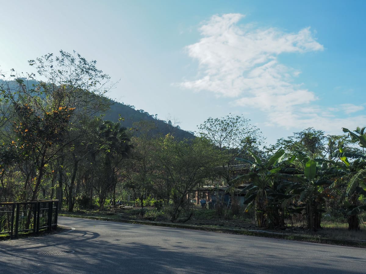
We spent the night holed up in the free carpark close to the southern end of Liyu Lake, so when 7:30 rolled around and I was not going to get anymore sleeping done, I got up, left Teresa for a lie in and went to climb a mountain before breakfast. From the carpark, head around the south end of the lake.
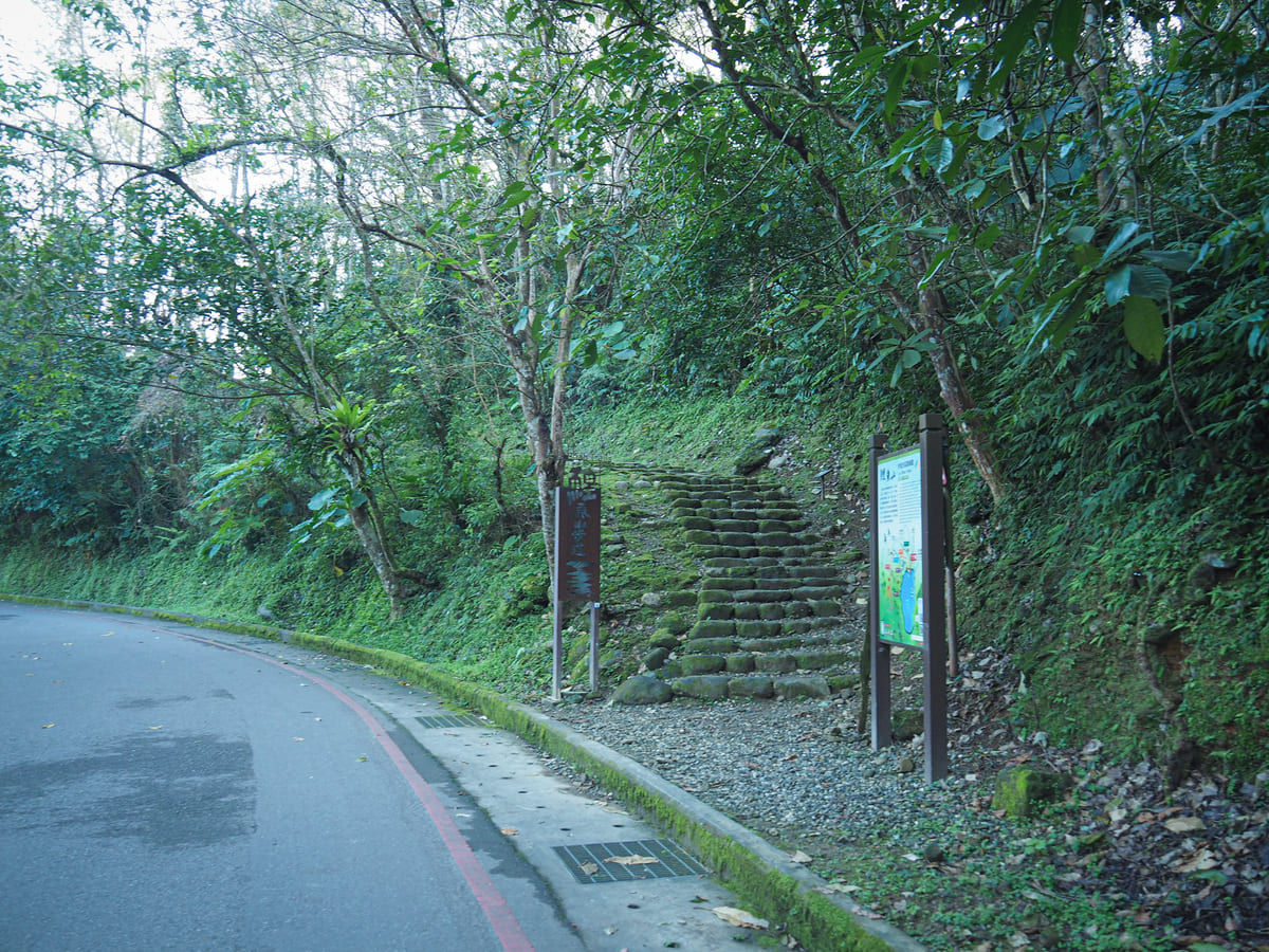
There are a couple of routes up to the summit. I decided to turn right up the first set of steps leading away from the Round-Lake Trail. On the trail maps dotting the area, this one is noted in dark green and is just called “Mountain Trail”. Then, a few minutes later, I headed straight over and onto the Scenic Picnic Trail.

A brief glimpse of the lake as seen through the trees.
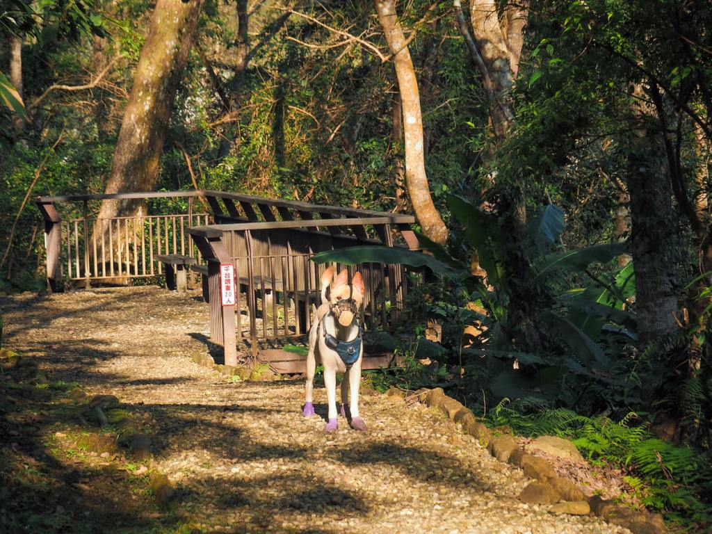
A series of vexed monkey grunts indicated that something was amiss just ahead of me, and sure enough, a few seconds later, this dapper dog rocked up. She spent a good while sniffing my shoes, and then just stood there waiting for her owners (who were another minute or two away).
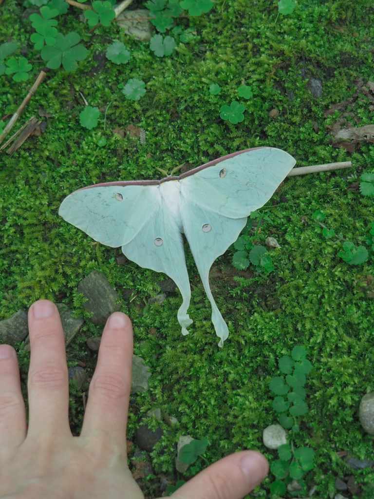
The beautiful carcass of a lunar moth that had fallen beside the trail.

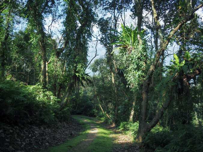
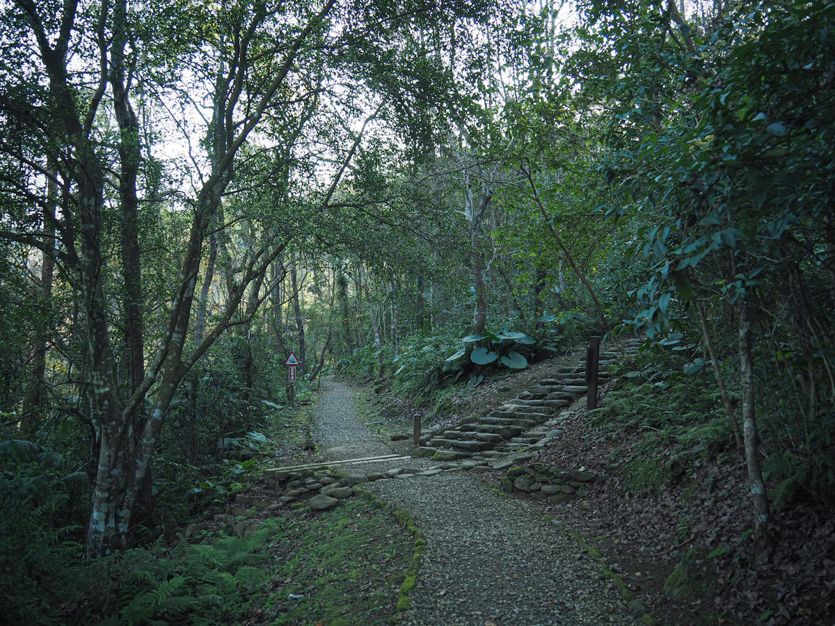
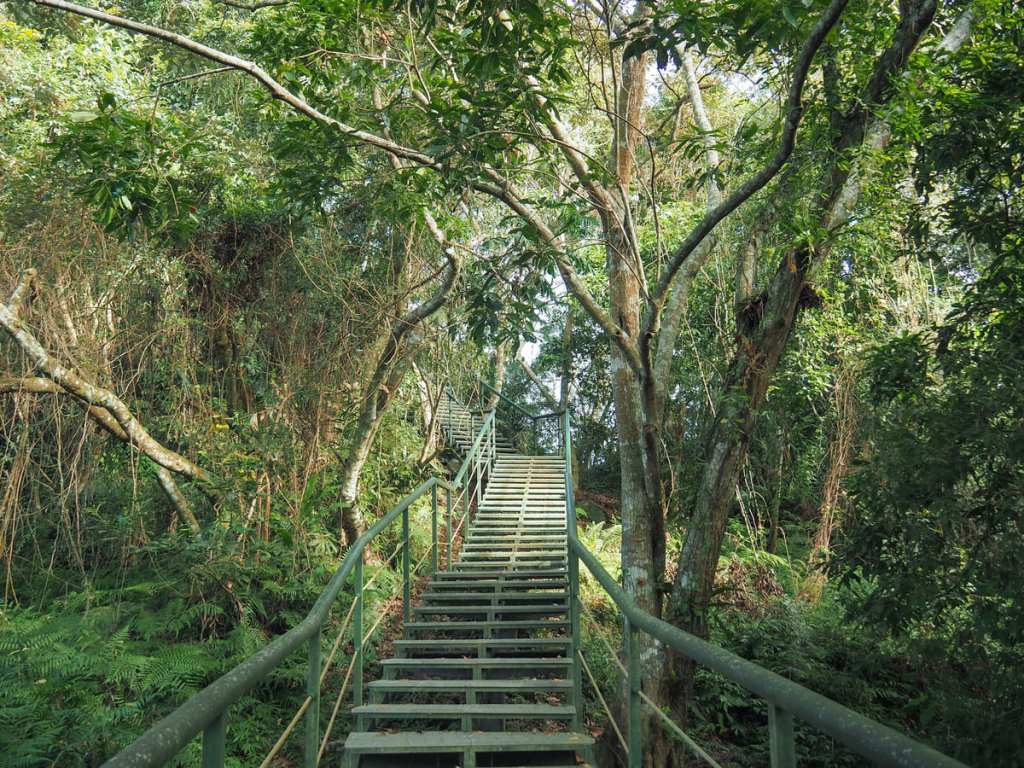
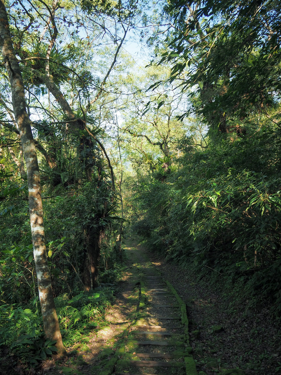
A section of raised walkway leads up through a forest that is absolutely full of birds.
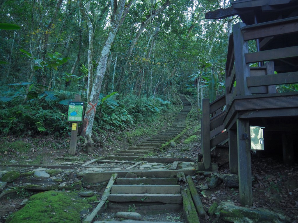
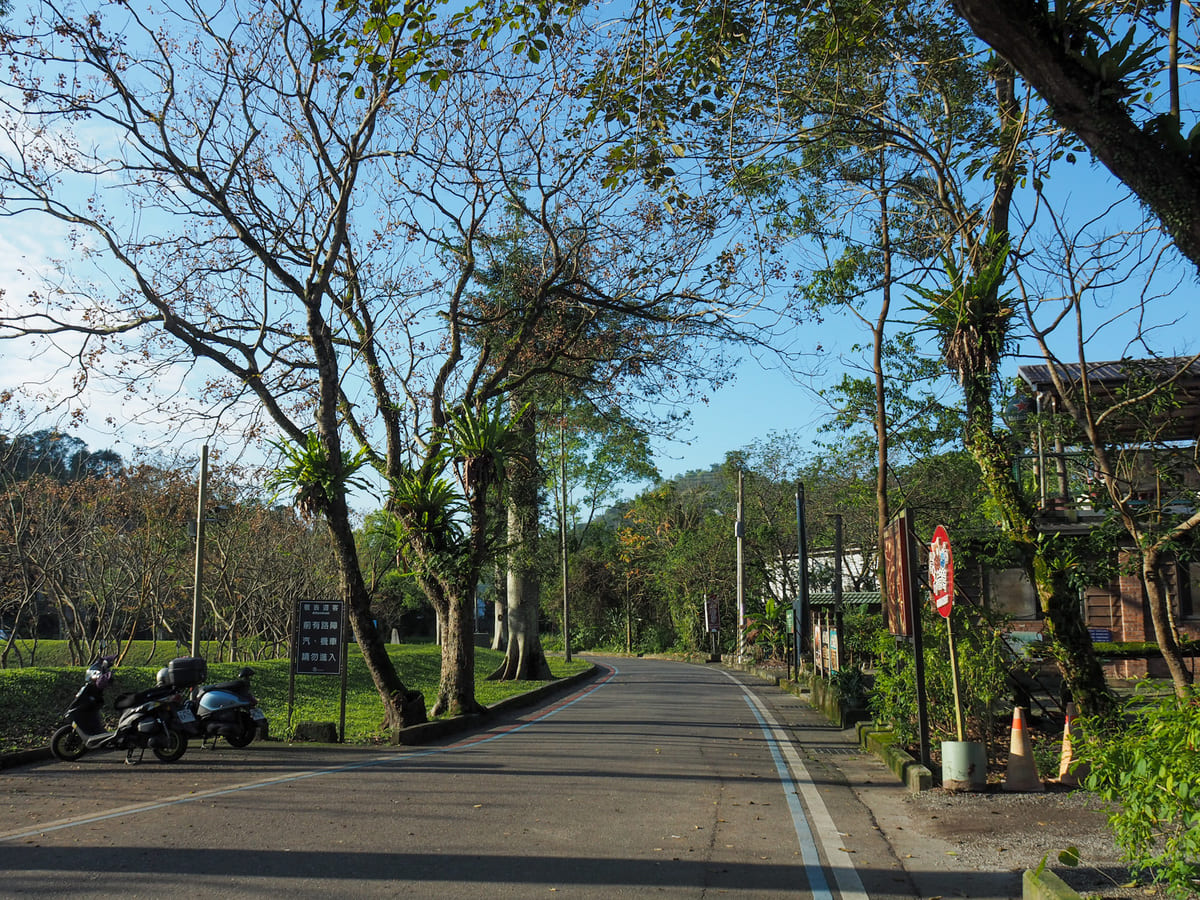
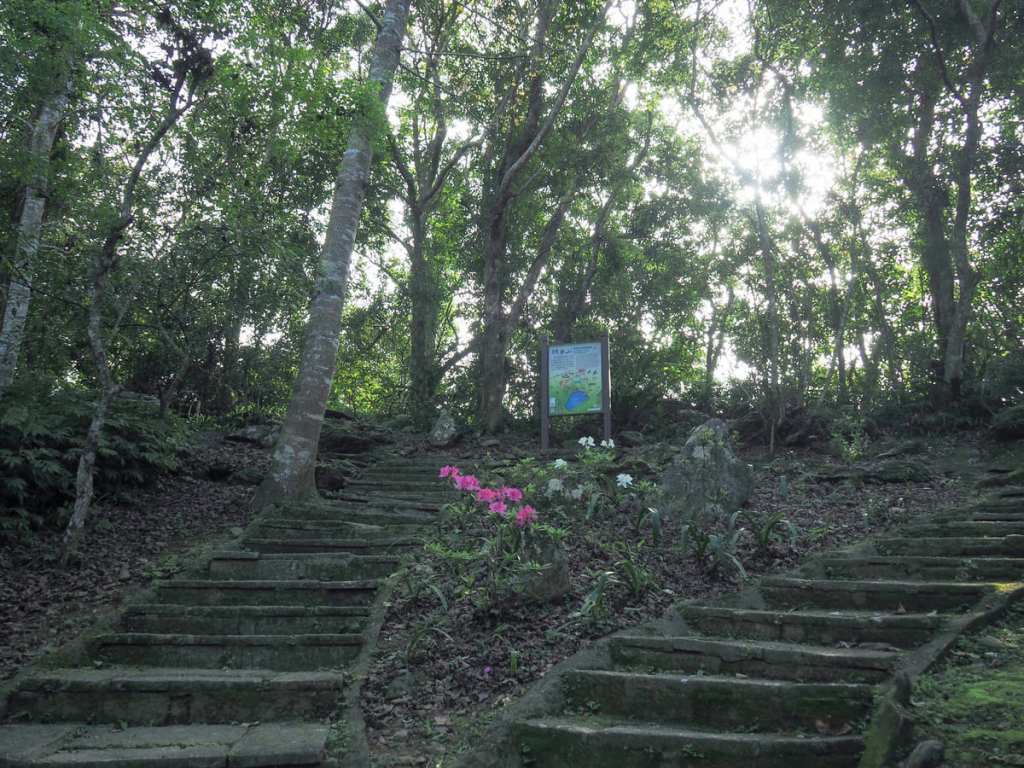
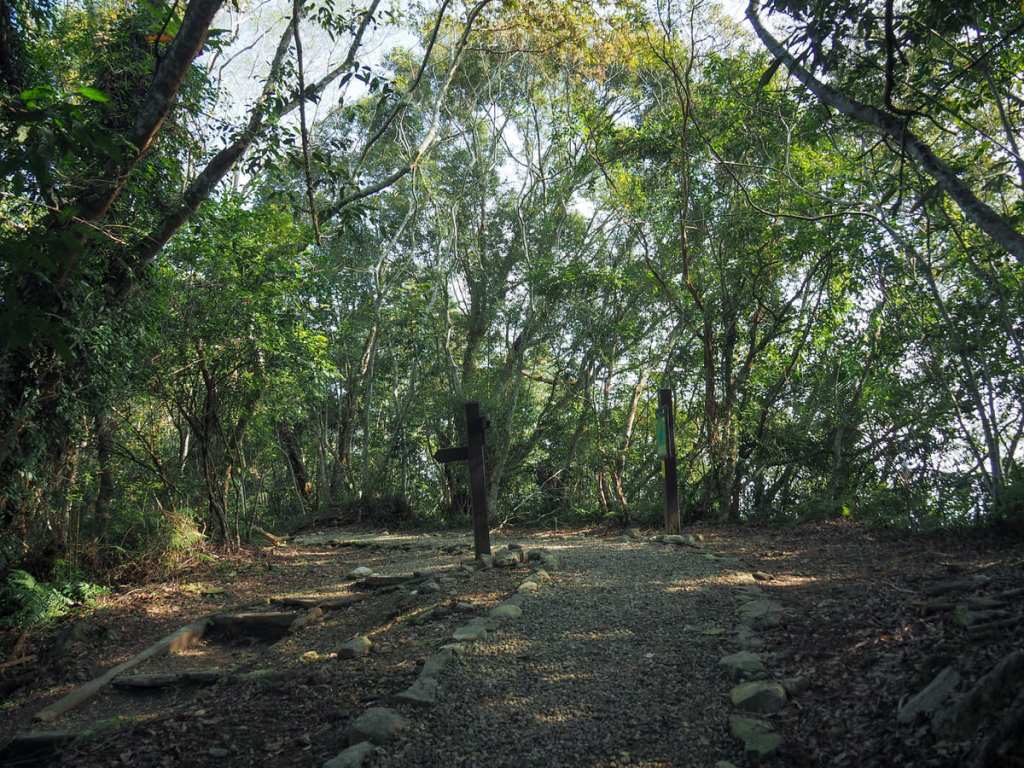
At Yangsin Pavilion, I took a right turn to follow the Bird-Watching Trail uphill.
The next forty minutes or so is a pretty relentless climb up wood and stone steps of varying depths.
The trail joining from the right is the Wild Trail (marked with yellow on the map).
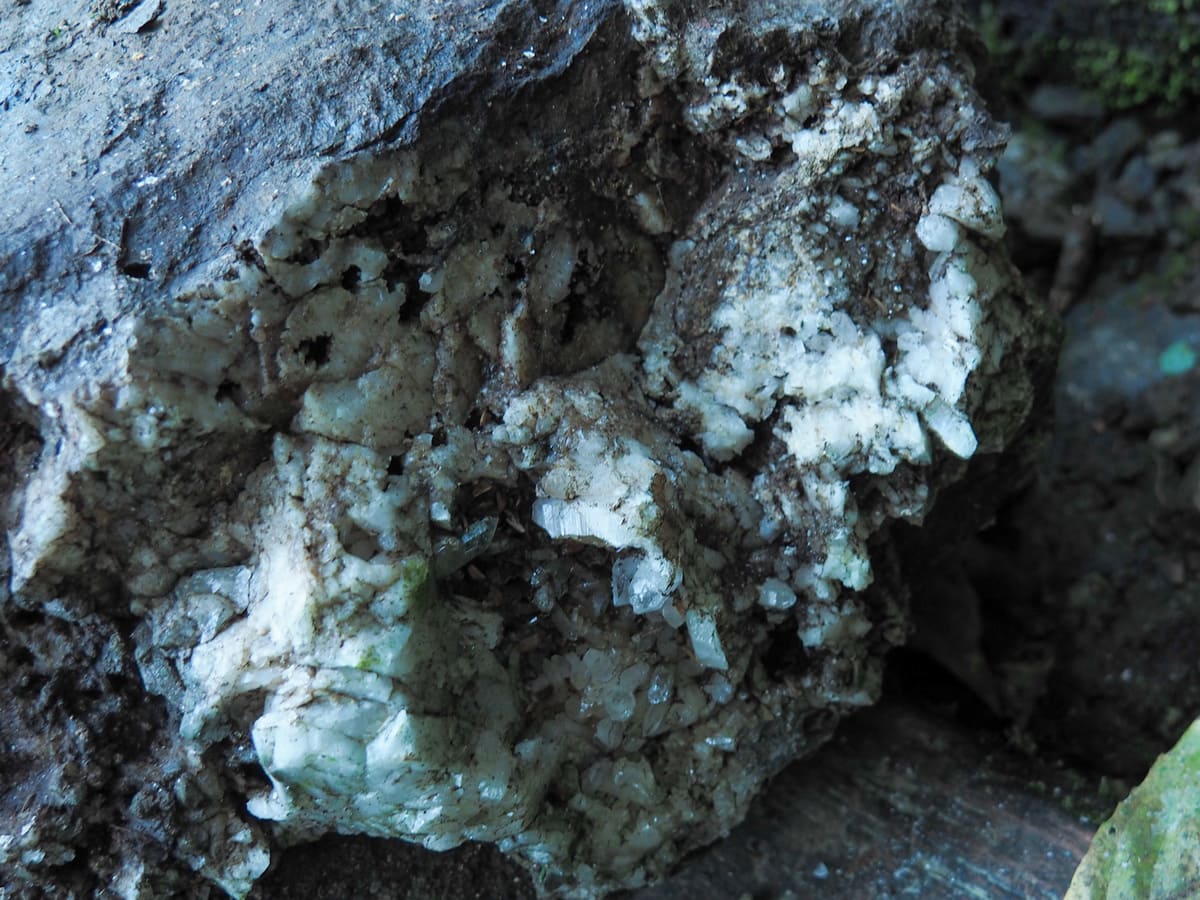
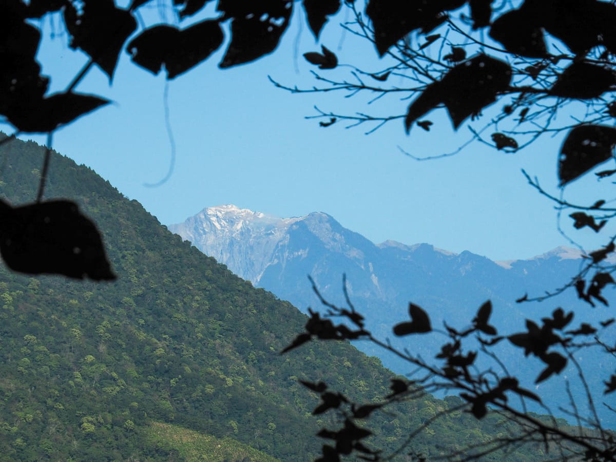
White crystals near and far. On the left is a hunk of quartz that was sparkling beside the trail and on the right is the main peak of Mount Qilai covered in a dusting of snow.
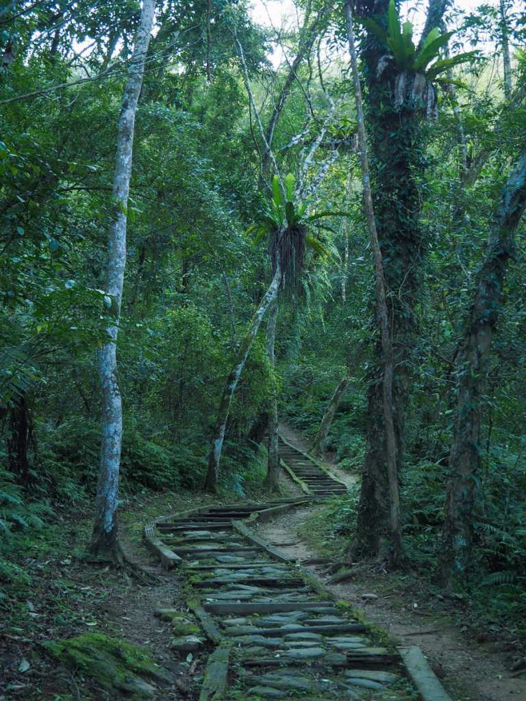
You’ll know you’re getting close when the steps switch to concrete slabs and you find yourself passing through a banana grove. Then, when you hit the junction, turn left.
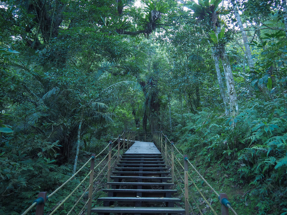
The trail continues to climb up a raised walkway of metal mesh steps for another five minutes I met another couple of hikers coming down and chatting happily about going for breakfast.

I reached the summit a comfortable 70 minutes after setting off. There’s a two-storey wooden platform here.

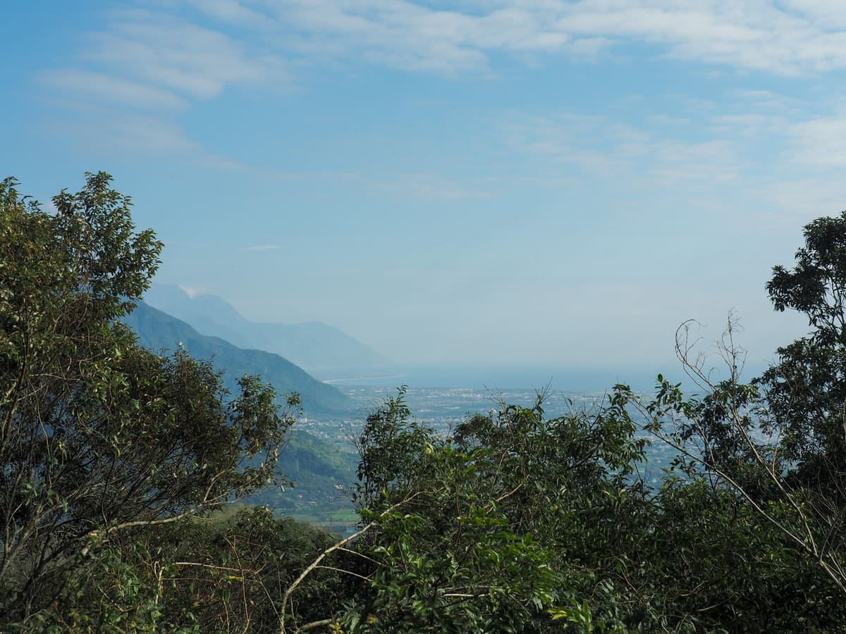
The triangulation stone has been sunk into the centre of the decking, and if you climb up to the second floor, you can just about get a glimpse of Hualien way off in the distance.


The first part of the descent follows a ridge between two rises and I I found myself lit by sun for the first time on the walk and it made the quartz sparkle among the mosses.
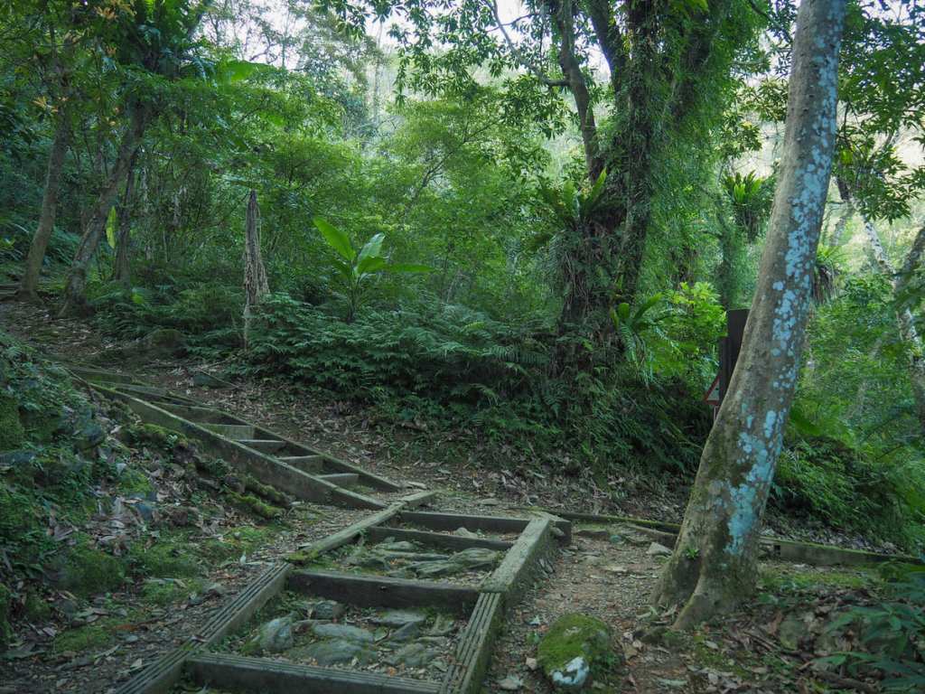
Take a left at the next junction and begin the descent back down to the lake.
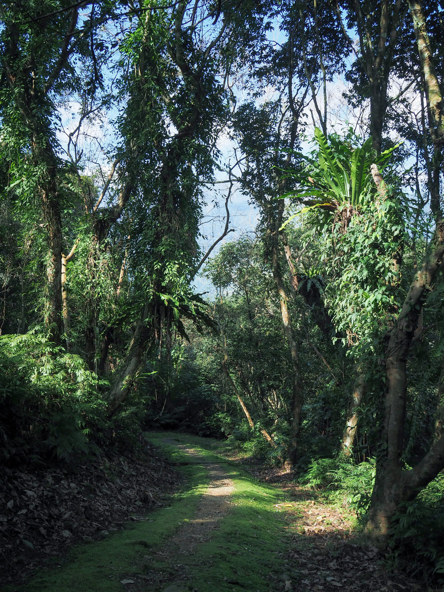
As with the climb up, there is no let up on the descent. It just goes and goes and goes. The path is steep and somewhat slippery, but it’s also very pretty. The moss and liverwort has covered the trail in places and with the sun shining through, it looks like the forest has rolled out a plush green carpet to salute you.
As well as lovely forest, the path also proved a great bird-watching (and listening) spot. I saw and heard two kinds of culverts, crows, Taiwan scimitar babblers, black-naped monarchs and others that flitted by too quick to identify.
It took me about 50 minutes to make my way down from the peak to lakeside trail, and from there, I took a left to follow the path back round to where I started.
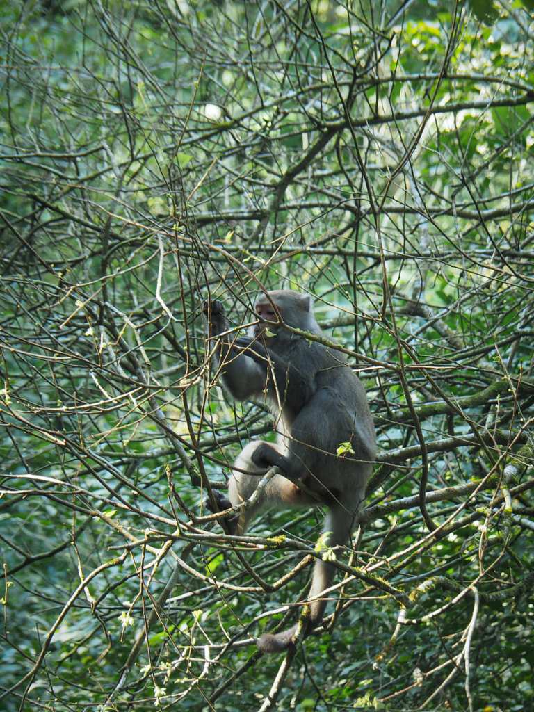
Just like the last time we visited the area, monkeys were picking leaves off the trees above the path, much to the delight of other walkers.
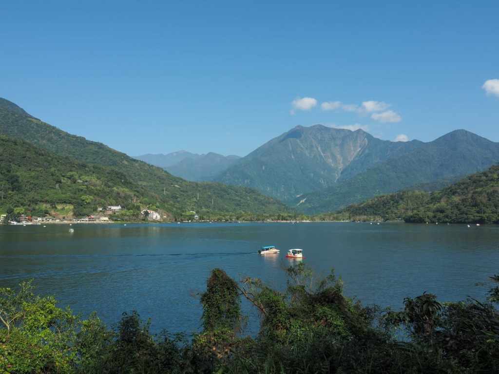
This trail finally gives you some unobscured views of the lake. As I watched, the powered boat sped past the stationary pedalo with a yelled New Year’s Greeting of “新年快樂”.

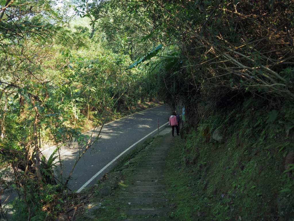
The round-mountain trail rejoins the road close to the small temple. I spotted a couple of people unloading inflatable SUP boards close to the boat ramp here.
I got back to the car just in time to stop Teresa driving off for breakfast by herself, and we went off together instead.
HOW TO GET TO LIYU MOUNTAIN
Google Maps address: I started my walk from the free carpark on the southwestern edge of the lake. You can also start from the carpark at the northern end, but I believe that one charges you to park.
GPS location: N23 55.310 E121 30.680
Public transport: From Hualien Bus Station (which is close to Hualien Train Station), you can catch either the 1139C via Tongmen, or the 303 Taiwan Tourist Shuttle Hualien Line to Liyu Lake North Tourist Centre bus stop. The former runs every 90-120 minutes and the latter only has two services a day.
LIYU MOUNTAIN TRAIL MAP

GPX file available here on Outdoor Active. (Account needed, but the free one works just fine.)
