Mount Daluntou can be found in the green-clad slopes separating downtown Taipei from the more extensive greenery of Yangmingshan National Park. It is an easy (and perhaps not especially remarkable) Xiao Bai Yue, and it is also one of the peaks in the trail network closest to where I live. I think this last factor — its proximity — is perversely probably the main reason that I haven’t done a proper write-up of the walk yet. Anyhow, with this post, my omission has finally been rectified!
DISTANCE: 6.3 kilometres.
TIME: 1½ – 2½ hours.
TOTAL ASCENT: About 380 metres to a high point of 476 metres on top of Mount Daluntou.
DIFFICULTY (REGULAR TAIWAN HIKERS): 2-3/10 – This is an easy walk with some steps but few other challenges.
DIFFICULTY (NEW HIKERS): 3-4/10 – For someone new to hiking in Taiwan this would be an easy to moderate walk based on the terrain and the number of intersecting trails to be navigated.
SIGNAGE: The trail network here is extensively signposted (with English too), but this is only helpful if you know the names of the locations or trails you’re heading for. Because of this, it would be a good idea to download a GPX route to follow.
FOOD AND WATER: I took about 0.7L on a cool day and drank only half of it. Snacks would be a good idea but not essential.
SHADE: The shade is patchy on this route. On a sunnier day, I would have needed sleeves and a hat or an umbrella.
MOBILE NETWORK: Cell coverage is pretty good throughout.
ENJOYMENT: Since this is part of my regular stomping grounds, it wasn’t particularly exciting for me. However, the route has some nice features and is a pretty decent workout walk close to the city.
SOLO HIKE-ABILITY: This trail is absolutely fine to do alone.
TAIWAN 100 MINOR PEAKS: Number 8, Mount Daluntou
ROUTE TYPE: Loop
PERMIT: None needed
Jump to the bottom of this post for a trail map and GPX file.

The walk starts and finishes on Section 2, Zhongshe Road, with the entry and exit trailheads being about 400 metres apart. Of course, it’s possible to complete the walk in either direction, but following the anticlockwise loop outlined here means that the ascent is split into two shorter sections rather than one concerted push. Is this a good thing or not? I guess that’s a subjective question, but personally, I feel its better for pacing.
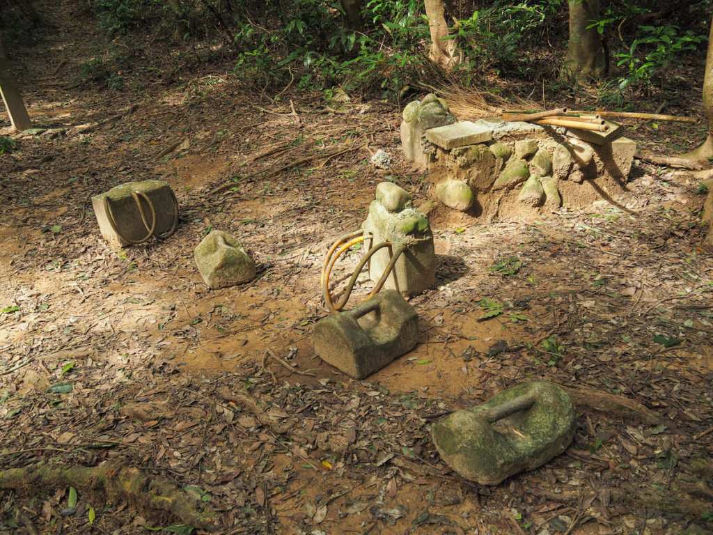
Right from the start, the steps try to show you who’s boss. The disappear upwards into the greenery with no sign of a reprieve. After a couple of minutes, I came across a clearing where the trail curves to the left. Some locals have obviously turned it into a rustic gym of some description because the space was littered with homemade concrete weights.

From the clearing, more steps continue onwards and upwards. At the time of walking, we had not long had a big typhoon pass over, so the ground was littered with fallen branches and much more leaf litter than normal. A lot had obviously been swept to the sides by others who had beaten me to the trail, but the signs of storm damage were still clear to see.
After climbing for about ten minutes, the path starts to level off and then reaches a junction. Take a left here and follow the sign directing you to Mount Dalunwei (大崙尾山).
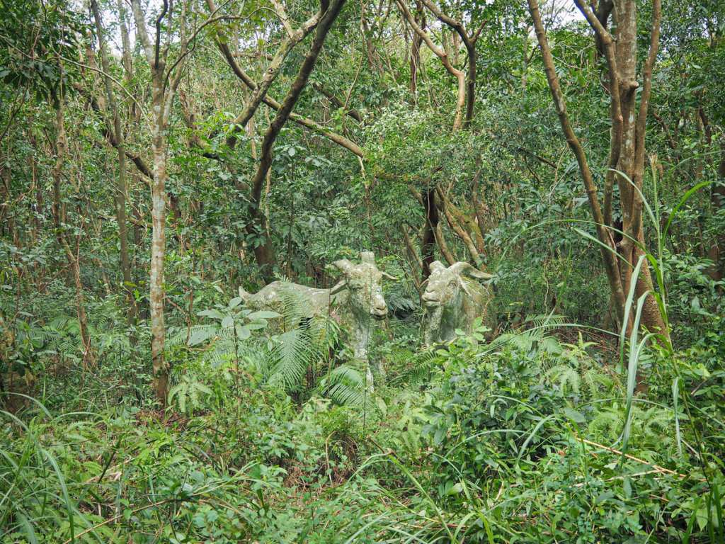
If you keep your eyes peeled along this next stretch, you might spot some strange creatures lurking in the undergrowth beside the trail. (There’s also a bat with a lucky coin — there were two bats the first time I visited this trail, but one has since fallen.)
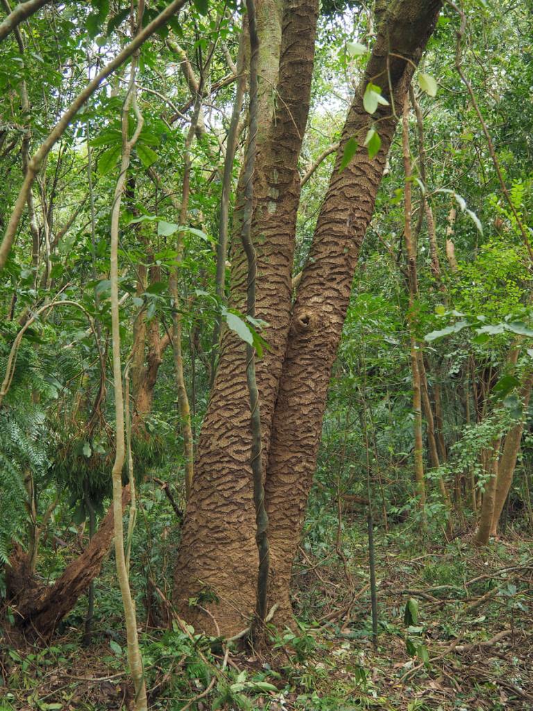
On the other side of the trail, there’s a tree whose bark bears the unmistakable signs of squirrel damage. When I was first told that this kind of pattern was created by squirrels, I found it hard to believe, but I have since witnessed the artists at work. The scars on this tree are long healed and have continued to grow with the tree as it grows.

The path arrives abruptly at an unnatural clearing and then heads straight over and up more steps. At the top of the steps, I found myself on the summit of Mount Dalunwei, which is marked by a pavilion and a whole load of picnic tables. Then from there, it’s back downhill again.

After descending for about 10 minutes, I arrived at the next junction. Here, take a left and merge onto a broader gravel track heading for the road. Cross straight over Bishan Road and head up along Lane 44 following the signs for Mount Daluntou.

For the next ten minutes, the route follows the road. A wooden viewing platform gives you the opportunity to spot Mount Qixing (or at least it does in clear weather), and there’s also a small body of water, Dalun Lake (大崙湖).

Immediately opposite the lake, you’ll find the start of the next section of trail.
Parallel paths — one paved, one muddy — lead from the road up to the summit of Mount Daluntou.

Given the recent typhoon, I decided to stick to the paved trail. While similar in length, this climb was more exposed than the first one, and climbing in the sun always feels slightly more tiring
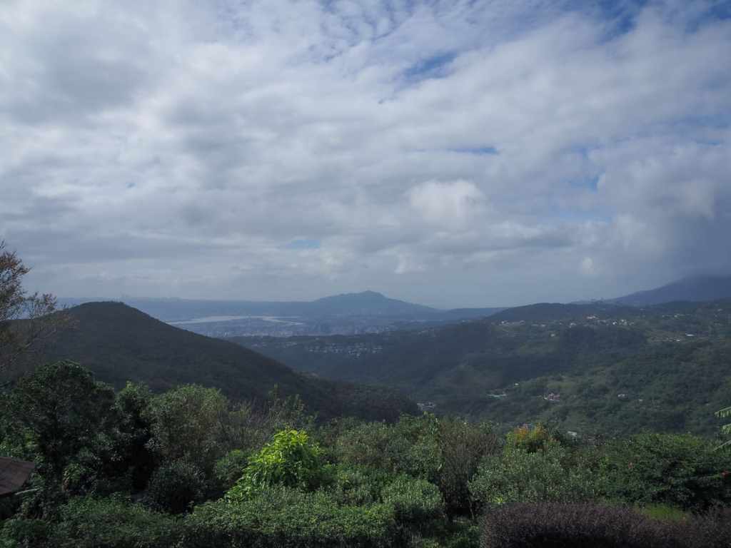

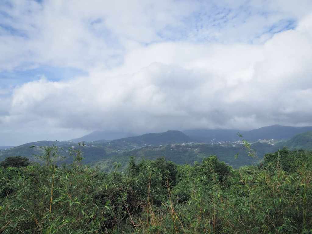
The views from the peak were somewhat underwhelming on a cloudy and somewhat hazy day, but in clear crisp weather, the views are much more impressive. In the centre of the first picture, you can see Mount Guanyin, and on the horizon just to the left is Linkou, and to the left of that are the apartment blocks of Taoyuan. Hidden beneath clouds to the right of Mount Guanyin are the slopes of Mount Datun rising to meet Taipei’s tallest mountain, Mount Qixing.


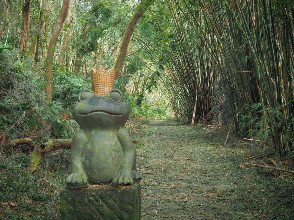
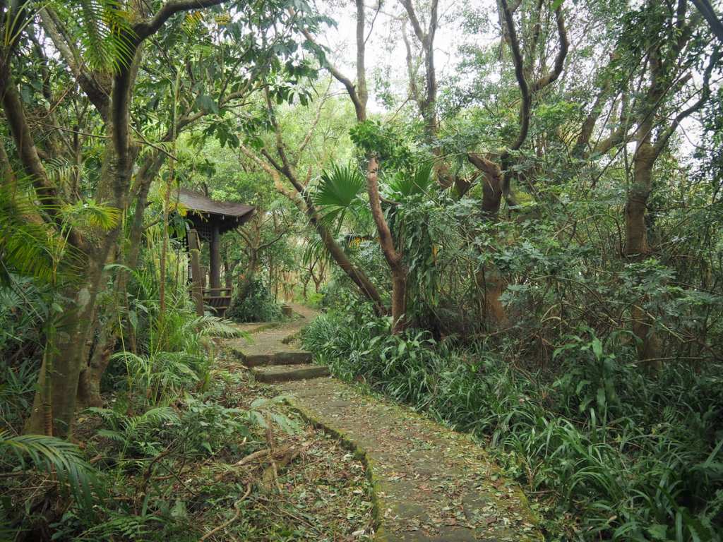
A second trail heads down from the opposite side of the peak past an interestingly shaped pavilion and along a pretty stone path. Ignore the first couple of trails branching off on the left, then take one marked by a stone frog and some wooden maple leaves.
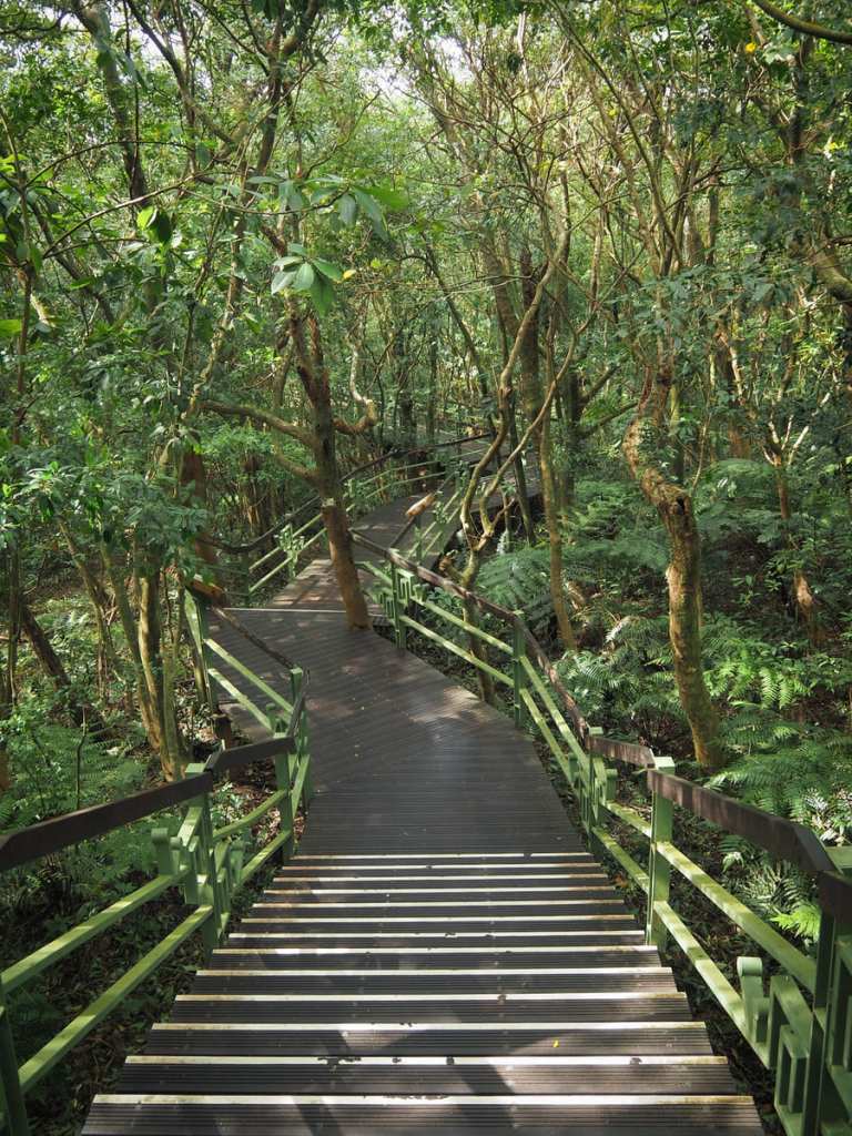
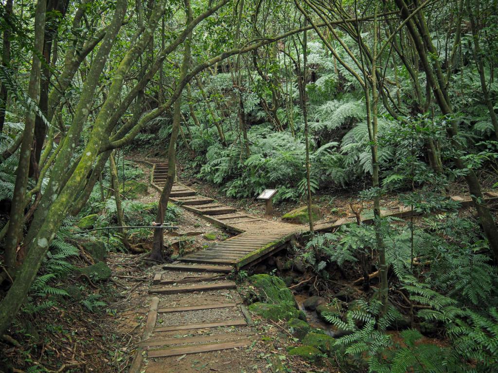
The trail heads down a pretty wooden boardwalk with cute snail and squirrel motifs worked into the metalwork of the railings. This was probably my favourite part of the walk. It’s heading down, so obviously, it’s easier, but it’s also where I encountered the most wildlife. Formosan blue magpies, grey treepies and Taiwan barbets were around in abundance, as were squirrels. I also enjoy the way the trail twisted and bent to incorporate the trees.


In one patch just below the trail, I spotted an interesting scattering of white. At first, I thought it was flowers of some kind, but a closer look revealed it to be mushrooms. They’d sprouted on just one type of fallen branch, and the fungal growth was so extensive that you could almost pick out the shape of the branches just by looking for the white mushrooms.
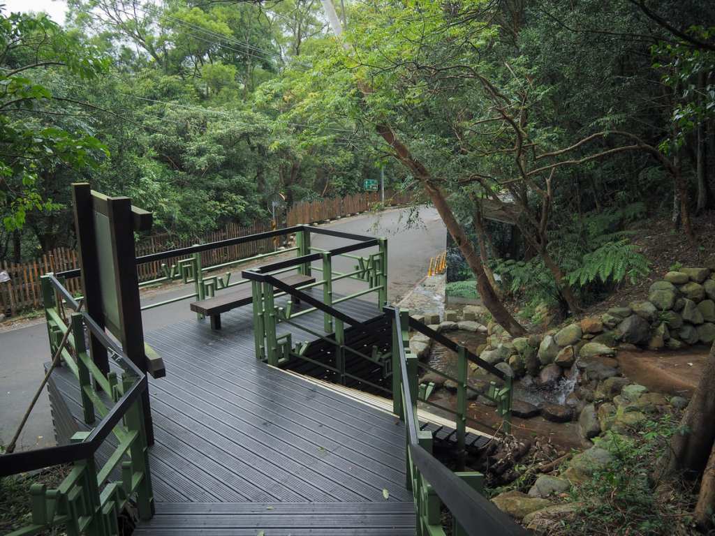
At some point, the trail starts to follow the course of a small stream, and at the roadside trailhead, there is a boot washing station. Take a left here and head up the road to begin the trek back to the starting point. Soon, there’s a turn-off on the right. Take it and follow it down towards the sound of water.

Almost immediately after leaving the road, turn left, then it’s right again at the next junction. (Heading right at the first leads down to Sun Plaza, while heading straight at the second would just take you back to the road.)
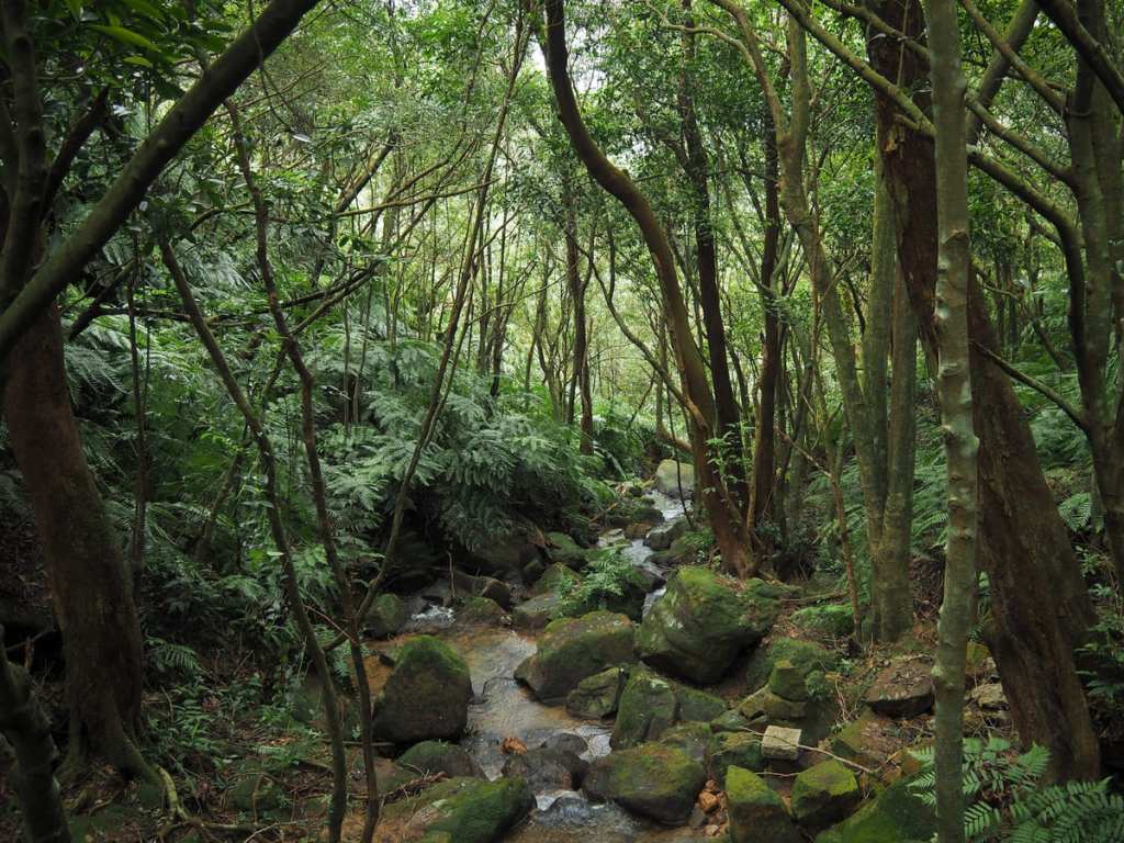
The trail dips to cross one stream and then another. At the far side of the second stream crossing, take the righthand trail and begin the final ascent of the walk.
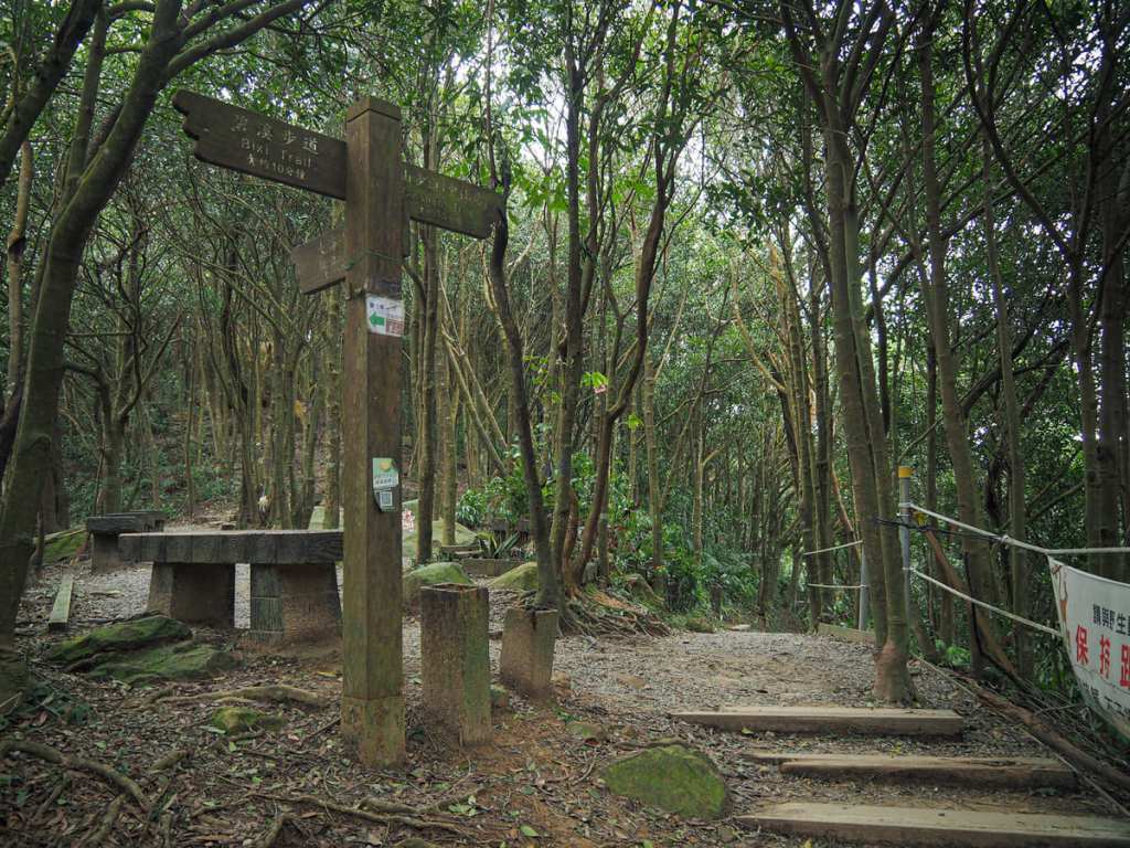
The climb is mercifully short, and at the top, you’ll reach another junction. Keep straight here following the sign for Cuishan Trail (翠山步道). (The path on the left heads back up to the first peak, Mount Dalunwei.)
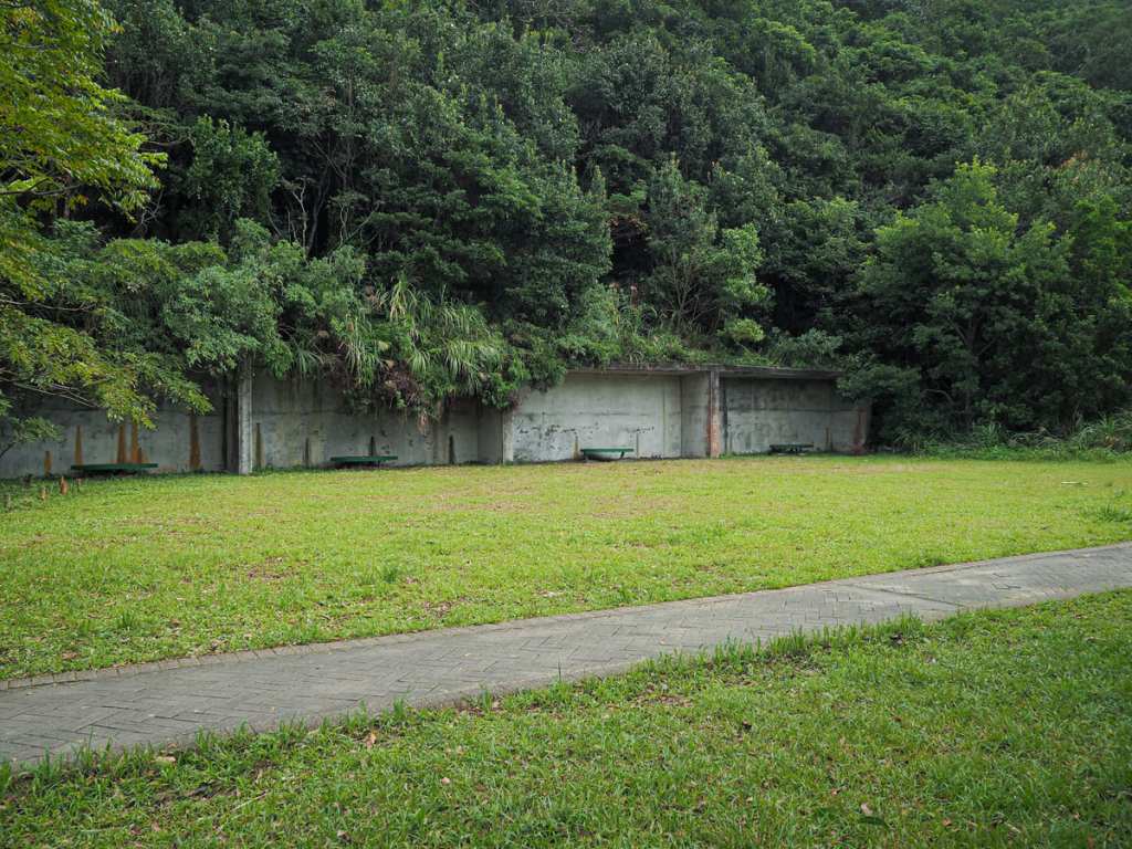
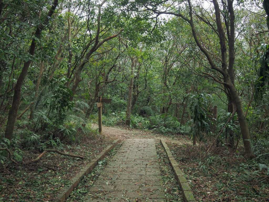
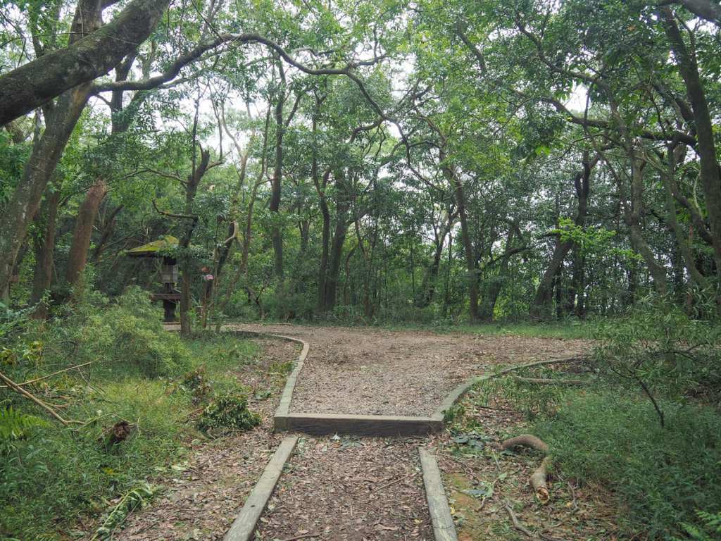
The trail is gentle and pleasant and I don’t know how I’d never visited it before. It also has one final piece of intrigue to reveal before spitting you back out on the road: this old police shooting range. The range has long since been retired, and there are now benches dotted around for resting and picnicking.
Another five minutes later, I found myself back on Section 2, Zhongshe Road, just a short walk away from the bus stop.
HOW TO GET TO MOUNT DALUNTOU
Google Maps address: The walk starts and ends on Section 2, Zhonshe Road. There is roadside parking for cars and scooters on the road between the two trailheads.
GPS location:
- Entry trailhead – N25 06.360 E121 34.070
- Exit trailhead – N25 06.450 E121 34.260
Public transport: Take the 255 Shuttle service from Shilin MRT station and alight at Mt. Dalunwei Trail Entrance. Coming back, it’s the same in reverse, save for the fact that you can get on at the first bus stop, Dalunweishan.
It’s worth noting that buses from Shilin can be rather crowded, especially on weekends, so you might want to get on at Shilin Junior High School.
Nearby Trails:
MOUNT DALUNTOU TRAIL MAP

GPX file available here on Outdoor Active. (Account needed, but the free one works just fine.)

Nice write-up!
LikeLiked by 1 person
Thanks! It’s one of those close-to-home walks I’ve kind of neglected to write about for the longest time.
LikeLike
Did this today, and it was great. Thanks for your detailed write-up, had never heard of this before.
There was one spot though where, not relying on GPS, we managed to make a wrong turn: “It’s right again at the next junction. (Heading straight would just take you back to the road.)”
It’s actually the second junction after leaving the road. We took the right at the first junction, and it led us in the direction of Sun Plaza for a while, with the path also crossing two streams. Only when the surroundings didn’t fit your description at all did we turn back and find the path in the direction of Cuishan.
Also, but of no consequence, I think this was actually the second trail branching off the the left, not the third: “take this third one marked by a stone frog and some wooden maple leaves.”
LikeLiked by 1 person
Thank you for the heads up! I’d hate to lead people astray. I’ve looked on the map and at my write-up and I can see where I made an error. I think I’ve corrected it to more accurately reflect trail conditions. I can’t see the third path that you mentioned, but I’ve changed that so that people can just use the frog to let them know when to turn.
Thanks again, and happy hiking!
LikeLike
Yes, it should be even more clear now. Cool.
LikeLiked by 1 person